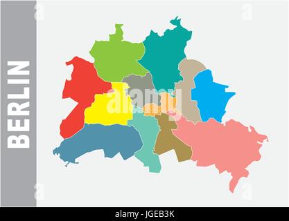
 Colorful Berlin administrative and political vector map Stock Vectorhttps://www.alamy.com/image-license-details/?v=1https://www.alamy.com/stock-photo-colorful-berlin-administrative-and-political-vector-map-147833495.html
RFJGEB3K–Colorful Berlin administrative and political vector map
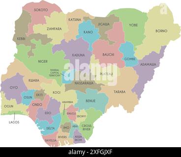 Vector regional map of Nigeria with states and administrative divisions. Editable and clearly labeled layers. Stock Vectorhttps://www.alamy.com/image-license-details/?v=1https://www.alamy.com/vector-regional-map-of-nigeria-with-states-and-administrative-divisions-editable-and-clearly-labeled-layers-image611948807.html
RF2XFGJXF–Vector regional map of Nigeria with states and administrative divisions. Editable and clearly labeled layers.
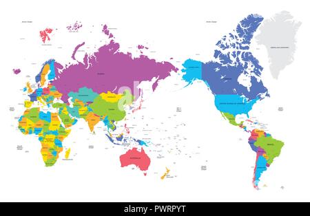 Colorful political map of the world with large cities, high detail vector illustration template for your design Stock Vectorhttps://www.alamy.com/image-license-details/?v=1https://www.alamy.com/colorful-political-map-of-the-world-with-large-cities-high-detail-vector-illustration-template-for-your-design-image222413740.html
RFPWRPYT–Colorful political map of the world with large cities, high detail vector illustration template for your design
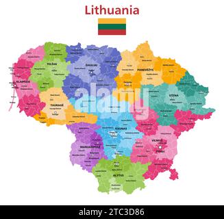 Lithuania political map. Administrative divisions (counties, municipalities and elderships) of Lithuania vector isolated map Stock Vectorhttps://www.alamy.com/image-license-details/?v=1https://www.alamy.com/lithuania-political-map-administrative-divisions-counties-municipalities-and-elderships-of-lithuania-vector-isolated-map-image575394294.html
RF2TC3D86–Lithuania political map. Administrative divisions (counties, municipalities and elderships) of Lithuania vector isolated map
 Basilicata administrative and political vector map with flag Stock Vectorhttps://www.alamy.com/image-license-details/?v=1https://www.alamy.com/basilicata-administrative-and-political-vector-map-with-flag-image444247102.html
RF2GPN5KX–Basilicata administrative and political vector map with flag
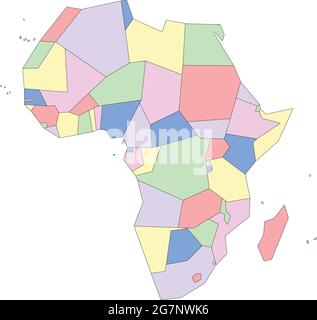 Vector map of Africa to study, colorful with outline Stock Vectorhttps://www.alamy.com/image-license-details/?v=1https://www.alamy.com/vector-map-of-africa-to-study-colorful-with-outline-image435042922.html
RF2G7NWK6–Vector map of Africa to study, colorful with outline
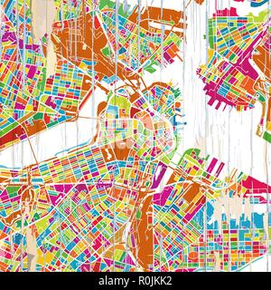 Boston Colorful map. Vintage map series. Stock Vectorhttps://www.alamy.com/image-license-details/?v=1https://www.alamy.com/boston-colorful-map-vintage-map-series-image224145350.html
RFR0JKK2–Boston Colorful map. Vintage map series.
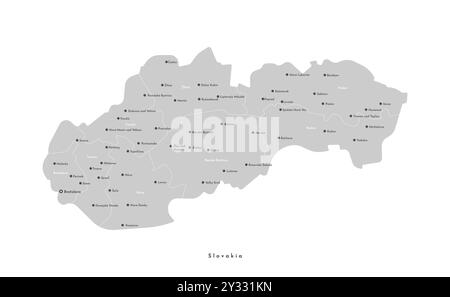 Vector isolated modern illustration. Simplified administrative map of Slovakia in grey color. Names of cities and regions Stock Vectorhttps://www.alamy.com/image-license-details/?v=1https://www.alamy.com/vector-isolated-modern-illustration-simplified-administrative-map-of-slovakia-in-grey-color-names-of-cities-and-regions-image621484409.html
RF2Y331KN–Vector isolated modern illustration. Simplified administrative map of Slovakia in grey color. Names of cities and regions
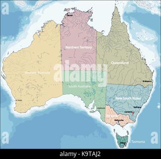 Map of Australia Stock Vectorhttps://www.alamy.com/image-license-details/?v=1https://www.alamy.com/stock-image-map-of-australia-160960410.html
RFK9TAJ2–Map of Australia
 Vector High detailed accurate USA map, american road, motorway map with labeling and colorful state areas and borders. Geographic, traditional, admini Stock Vectorhttps://www.alamy.com/image-license-details/?v=1https://www.alamy.com/stock-photo-vector-high-detailed-accurate-usa-map-american-road-motorway-map-with-146963373.html
RFJF2N7W–Vector High detailed accurate USA map, american road, motorway map with labeling and colorful state areas and borders. Geographic, traditional, admini
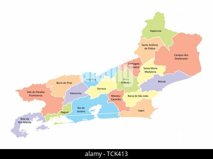 A colorful map of the Rio de Janeiro State divided into regions, Brazil Stock Vectorhttps://www.alamy.com/image-license-details/?v=1https://www.alamy.com/a-colorful-map-of-the-rio-de-janeiro-state-divided-into-regions-brazil-image248741279.html
RFTCK413–A colorful map of the Rio de Janeiro State divided into regions, Brazil
 Australia map, states border map. Vector illustration. Stock Vectorhttps://www.alamy.com/image-license-details/?v=1https://www.alamy.com/australia-map-states-border-map-vector-illustration-image343417161.html
RF2AXM02H–Australia map, states border map. Vector illustration.
 Map of Italy divided into 20 administrative regions. White land and black outline borders. Simple flat vector illustration. Stock Vectorhttps://www.alamy.com/image-license-details/?v=1https://www.alamy.com/map-of-italy-divided-into-20-administrative-regions-white-land-and-black-outline-borders-simple-flat-vector-illustration-image360276813.html
RF2BX40N1–Map of Italy divided into 20 administrative regions. White land and black outline borders. Simple flat vector illustration.