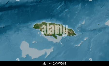
 Jamaica Island in the Caribbean Sea on a colored elevation map Stock Photohttps://www.alamy.com/image-license-details/?v=1https://www.alamy.com/jamaica-island-in-the-caribbean-sea-on-a-colored-elevation-map-image619517761.html
RF2XYWD69–Jamaica Island in the Caribbean Sea on a colored elevation map
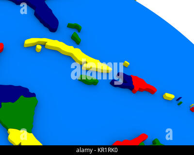 North Caribbean on colorful 3D globe Stock Photohttps://www.alamy.com/image-license-details/?v=1https://www.alamy.com/stock-image-north-caribbean-on-colorful-3d-globe-169070916.html
RFKR1RK0–North Caribbean on colorful 3D globe
 Jamaica flag pattern on the fabric texture ,vintage style Stock Photohttps://www.alamy.com/image-license-details/?v=1https://www.alamy.com/stock-photo-jamaica-flag-pattern-on-the-fabric-texture-vintage-style-172161135.html
RFM02H7Y–Jamaica flag pattern on the fabric texture ,vintage style
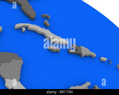 North Caribbean on political Earth model Stock Photohttps://www.alamy.com/image-license-details/?v=1https://www.alamy.com/stock-image-north-caribbean-on-political-earth-model-169057945.html
RFKR173N–North Caribbean on political Earth model
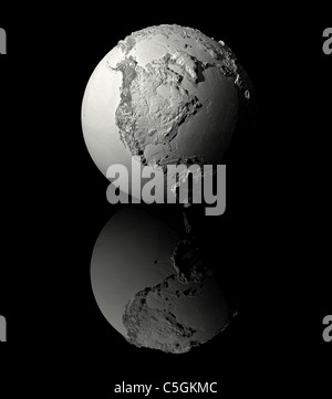 Realistic model of planet earth on black background, north america, 3d render Stock Photohttps://www.alamy.com/image-license-details/?v=1https://www.alamy.com/stock-photo-realistic-model-of-planet-earth-on-black-background-north-america-37860716.html
RFC5GKMC–Realistic model of planet earth on black background, north america, 3d render
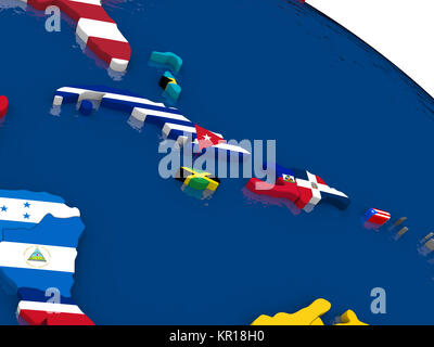 North Caribbean on 3D map with flags Stock Photohttps://www.alamy.com/image-license-details/?v=1https://www.alamy.com/stock-image-north-caribbean-on-3d-map-with-flags-169059100.html
RFKR18H0–North Caribbean on 3D map with flags
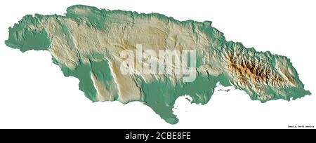 Shape of Jamaica with its capital isolated on white background. Topographic relief map. 3D rendering Stock Photohttps://www.alamy.com/image-license-details/?v=1https://www.alamy.com/shape-of-jamaica-with-its-capital-isolated-on-white-background-topographic-relief-map-3d-rendering-image368492978.html
RF2CBE8FE–Shape of Jamaica with its capital isolated on white background. Topographic relief map. 3D rendering
 Jamaica Flag Isolated on White Background, 3D Illustration Stock Photohttps://www.alamy.com/image-license-details/?v=1https://www.alamy.com/jamaica-flag-isolated-on-white-background-3d-illustration-image525346826.html
RF2NEKH6J–Jamaica Flag Isolated on White Background, 3D Illustration
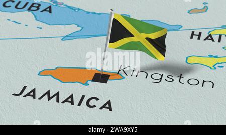 Jamaica, Kingston - national flag pinned on political map - 3D illustration Stock Photohttps://www.alamy.com/image-license-details/?v=1https://www.alamy.com/jamaica-kingston-national-flag-pinned-on-political-map-3d-illustration-image591517785.html
RF2WA9XY5–Jamaica, Kingston - national flag pinned on political map - 3D illustration
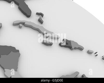 Map of North Caribbean on grey model of Earth. 3D illustration Stock Photohttps://www.alamy.com/image-license-details/?v=1https://www.alamy.com/stock-photo-map-of-north-caribbean-on-grey-model-of-earth-3d-illustration-106740830.html
RFG5JD0E–Map of North Caribbean on grey model of Earth. 3D illustration
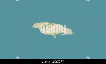 Jamaica Island in the Caribbean Sea on a topographic, OSM Humanitarian style map Stock Photohttps://www.alamy.com/image-license-details/?v=1https://www.alamy.com/jamaica-island-in-the-caribbean-sea-on-a-topographic-osm-humanitarian-style-map-image619529567.html
RF2XYX07Y–Jamaica Island in the Caribbean Sea on a topographic, OSM Humanitarian style map
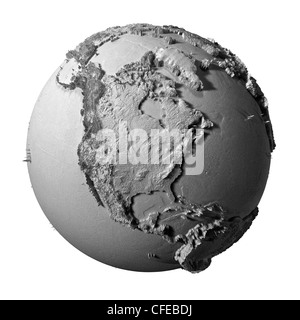 Realistic model of planet earth isolated on white background - north america, 3d illustration Stock Photohttps://www.alamy.com/image-license-details/?v=1https://www.alamy.com/stock-photo-realistic-model-of-planet-earth-isolated-on-white-background-north-43956910.html
RFCFEBDJ–Realistic model of planet earth isolated on white background - north america, 3d illustration