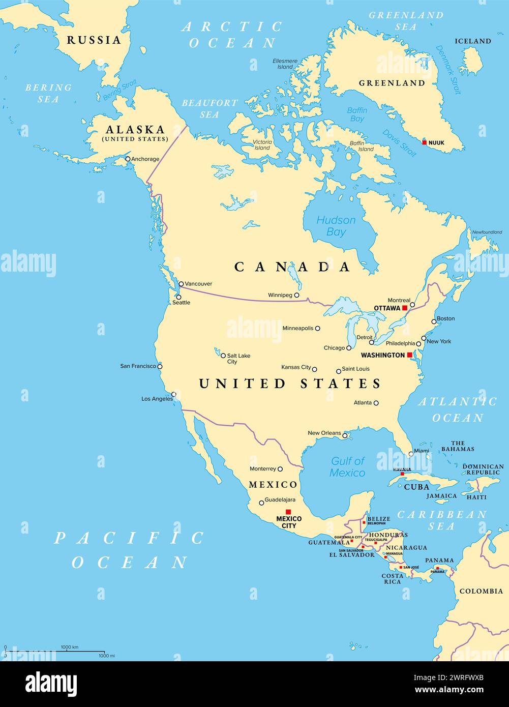
North America, political map. Continent bordered by South America, the Caribbean Sea, and by the Arctic, Atlantic and Pacific Ocean.
RFID:Image ID:2WRFWXB
Image details
Contributor:
Peter Hermes Furian / Alamy Stock PhotoImage ID:
2WRFWXBFile size:
133.8 MB (1.7 MB Compressed download)Releases:
Model - no | Property - noDo I need a release?Dimensions:
6000 x 7792 px | 50.8 x 66 cm | 20 x 26 inches | 300dpiDate taken:
12 March 2024Location:
AmericaMore information:
North America, political map. Continent bordered by South America, the Caribbean Sea, and by the Arctic, Atlantic and Pacific Ocean. The largest countries are Canada, the United States, and Mexico.