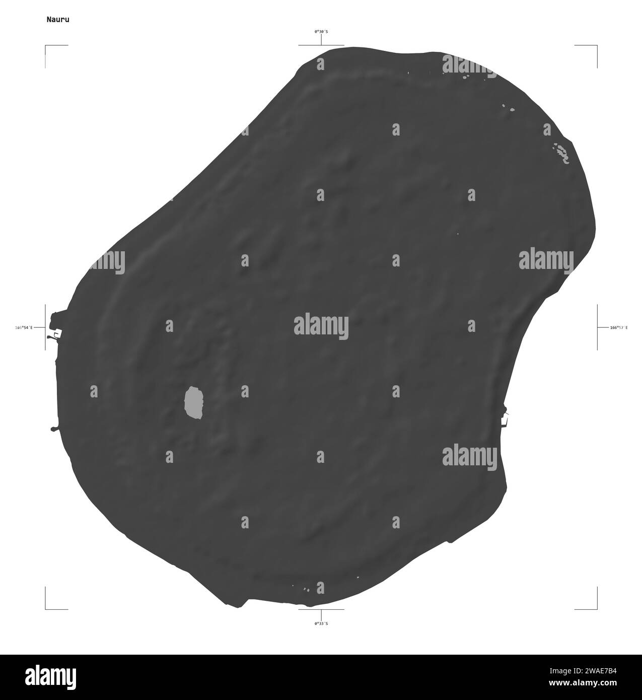
Shape of a Bilevel elevation map with lakes and rivers of the Nauru, with distance scale and map border coordinates, isolated on white
RFID:Image ID:2WAE7B4
Image details
Contributor:
zelwanka / Alamy Stock PhotoImage ID:
2WAE7B4File size:
49.5 MB (201.6 KB Compressed download)Releases:
Model - no | Property - noDo I need a release?Dimensions:
4121 x 4200 px | 34.9 x 35.6 cm | 13.7 x 14 inches | 300dpiLocation:
Nauru