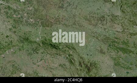
 Lower Silesian, voivodeship of Poland. Satellite imagery. Shape outlined against its country area. 3D rendering Stock Photohttps://www.alamy.com/image-license-details/?v=1https://www.alamy.com/lower-silesian-voivodeship-of-poland-satellite-imagery-shape-outlined-against-its-country-area-3d-rendering-image364259454.html
RF2C4HCJ6–Lower Silesian, voivodeship of Poland. Satellite imagery. Shape outlined against its country area. 3D rendering
 Simple map of Poland with voivodeships on white. Stock Photohttps://www.alamy.com/image-license-details/?v=1https://www.alamy.com/stock-photo-simple-map-of-poland-with-voivodeships-on-white-56812778.html
RFD8C17P–Simple map of Poland with voivodeships on white.
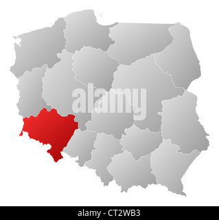 Political map of Poland with the several provinces (voivodships) where Lower Silesian is highlighted. Stock Photohttps://www.alamy.com/image-license-details/?v=1https://www.alamy.com/stock-photo-political-map-of-poland-with-the-several-provinces-voivodships-where-49236295.html
RFCT2WB3–Political map of Poland with the several provinces (voivodships) where Lower Silesian is highlighted.
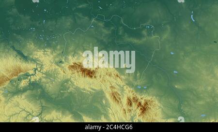 Lower Silesian, voivodeship of Poland. Colored relief with lakes and rivers. Shape outlined against its country area. 3D rendering Stock Photohttps://www.alamy.com/image-license-details/?v=1https://www.alamy.com/lower-silesian-voivodeship-of-poland-colored-relief-with-lakes-and-rivers-shape-outlined-against-its-country-area-3d-rendering-image364259398.html
RF2C4HCG6–Lower Silesian, voivodeship of Poland. Colored relief with lakes and rivers. Shape outlined against its country area. 3D rendering
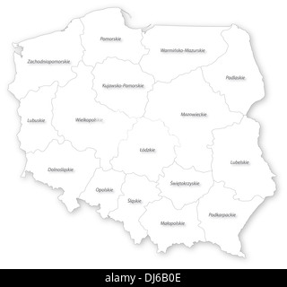 Map of Poland with voivodeships and main cities on white projected in UTM coordinate system. Polish voivodeships labels / names. Stock Photohttps://www.alamy.com/image-license-details/?v=1https://www.alamy.com/map-of-poland-with-voivodeships-and-main-cities-on-white-projected-image62835262.html
RFDJ6B0E–Map of Poland with voivodeships and main cities on white projected in UTM coordinate system. Polish voivodeships labels / names.
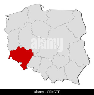 Political map of Poland with the several provinces (voivodships) where Lower Silesian is highlighted. Stock Photohttps://www.alamy.com/image-license-details/?v=1https://www.alamy.com/stock-photo-political-map-of-poland-with-the-several-provinces-voivodships-where-48988142.html
RFCRKGTE–Political map of Poland with the several provinces (voivodships) where Lower Silesian is highlighted.
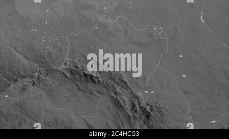 Lower Silesian, voivodeship of Poland. Grayscaled map with lakes and rivers. Shape outlined against its country area. 3D rendering Stock Photohttps://www.alamy.com/image-license-details/?v=1https://www.alamy.com/lower-silesian-voivodeship-of-poland-grayscaled-map-with-lakes-and-rivers-shape-outlined-against-its-country-area-3d-rendering-image364259395.html
RF2C4HCG3–Lower Silesian, voivodeship of Poland. Grayscaled map with lakes and rivers. Shape outlined against its country area. 3D rendering
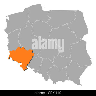 Political map of Poland with the several provinces (voivodships) where Lower Silesian is highlighted. Stock Photohttps://www.alamy.com/image-license-details/?v=1https://www.alamy.com/stock-photo-political-map-of-poland-with-the-several-provinces-voivodships-where-48988268.html
RFCRKH10–Political map of Poland with the several provinces (voivodships) where Lower Silesian is highlighted.
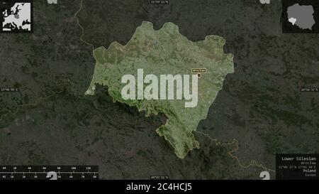 Lower Silesian, voivodeship of Poland. Satellite imagery. Shape presented against its country area with informative overlays. 3D rendering Stock Photohttps://www.alamy.com/image-license-details/?v=1https://www.alamy.com/lower-silesian-voivodeship-of-poland-satellite-imagery-shape-presented-against-its-country-area-with-informative-overlays-3d-rendering-image364259453.html
RF2C4HCJ5–Lower Silesian, voivodeship of Poland. Satellite imagery. Shape presented against its country area with informative overlays. 3D rendering
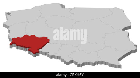 Political map of Poland with the several provinces (voivodships) where Lower Silesian is highlighted. Stock Photohttps://www.alamy.com/image-license-details/?v=1https://www.alamy.com/stock-photo-political-map-of-poland-with-the-several-provinces-voivodships-where-48988435.html
RFCRKH6Y–Political map of Poland with the several provinces (voivodships) where Lower Silesian is highlighted.
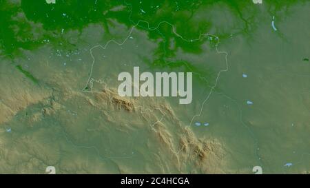 Lower Silesian, voivodeship of Poland. Colored shader data with lakes and rivers. Shape outlined against its country area. 3D rendering Stock Photohttps://www.alamy.com/image-license-details/?v=1https://www.alamy.com/lower-silesian-voivodeship-of-poland-colored-shader-data-with-lakes-and-rivers-shape-outlined-against-its-country-area-3d-rendering-image364259402.html
RF2C4HCGA–Lower Silesian, voivodeship of Poland. Colored shader data with lakes and rivers. Shape outlined against its country area. 3D rendering
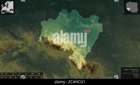 Lower Silesian, voivodeship of Poland. Colored relief with lakes and rivers. Shape presented against its country area with informative overlays. 3D re Stock Photohttps://www.alamy.com/image-license-details/?v=1https://www.alamy.com/lower-silesian-voivodeship-of-poland-colored-relief-with-lakes-and-rivers-shape-presented-against-its-country-area-with-informative-overlays-3d-re-image364259393.html
RF2C4HCG1–Lower Silesian, voivodeship of Poland. Colored relief with lakes and rivers. Shape presented against its country area with informative overlays. 3D re
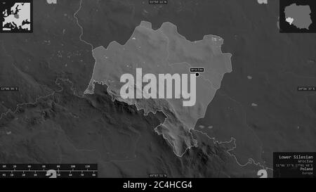 Lower Silesian, voivodeship of Poland. Grayscaled map with lakes and rivers. Shape presented against its country area with informative overlays. 3D re Stock Photohttps://www.alamy.com/image-license-details/?v=1https://www.alamy.com/lower-silesian-voivodeship-of-poland-grayscaled-map-with-lakes-and-rivers-shape-presented-against-its-country-area-with-informative-overlays-3d-re-image364259396.html
RF2C4HCG4–Lower Silesian, voivodeship of Poland. Grayscaled map with lakes and rivers. Shape presented against its country area with informative overlays. 3D re