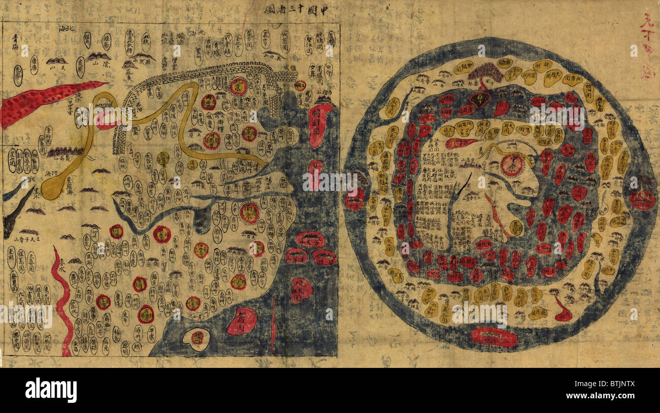
1800 Chinese maps of Ming Empire of China (left) and the World (right) . Echoing China's self-imposed isolation, the world map

RMID:Image ID:BTJNTX
Image details
Contributor:
Everett Collection Inc / Alamy Stock PhotoImage ID:
BTJNTXFile size:
10.4 MB (1 MB Compressed download)Releases:
Model - no | Property - noDo I need a release?Dimensions:
2550 x 1424 px | 21.6 x 12.1 cm | 8.5 x 4.7 inches | 300dpiPhotographer:
Everett CollectionMore information:
This image could have imperfections as it’s either historical or reportage.
1800 Chinese maps of Ming Empire of China (left) and the World (right) . Echoing China's self-imposed isolation, the world map shows China in the center surrounded by undifferentiated representations of the rest of the world.