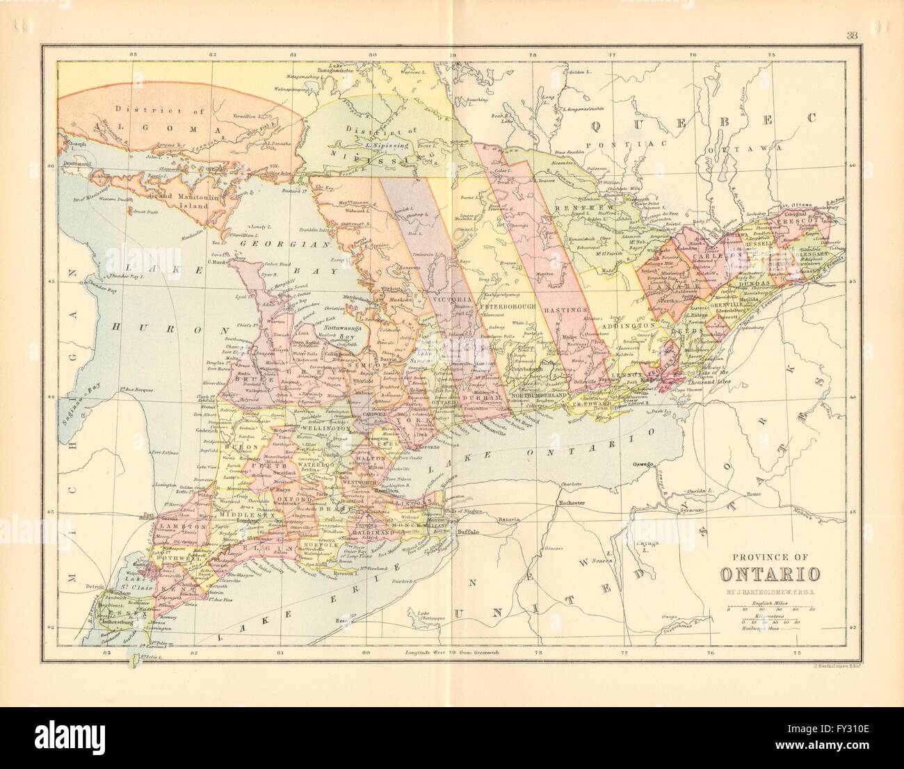
CANADA. 'Province of Ontario'. Counties. Railways. Districts, 1876 antique map
RFID:Image ID:FY310E
Image details
Contributor:
Antiqua Print Gallery / Alamy Stock PhotoImage ID:
FY310EFile size:
34.6 MB (1.5 MB Compressed download)Releases:
Model - no | Property - noDo I need a release?Dimensions:
3932 x 3075 px | 33.3 x 26 cm | 13.1 x 10.3 inches | 300dpiDate taken:
1876Location:
CanadaMore information:
This image could have imperfections as it’s either historical or reportage.
'Province of Ontario'. Artist/engraver/cartographer: J. Bartholomew, Edinburgh. Provenance: "The Library Atlas"; by James Bryce, William F. Collier, Leonhard Schmitz; Published by William Collins, London [First edition]. Type: Antique colour map.