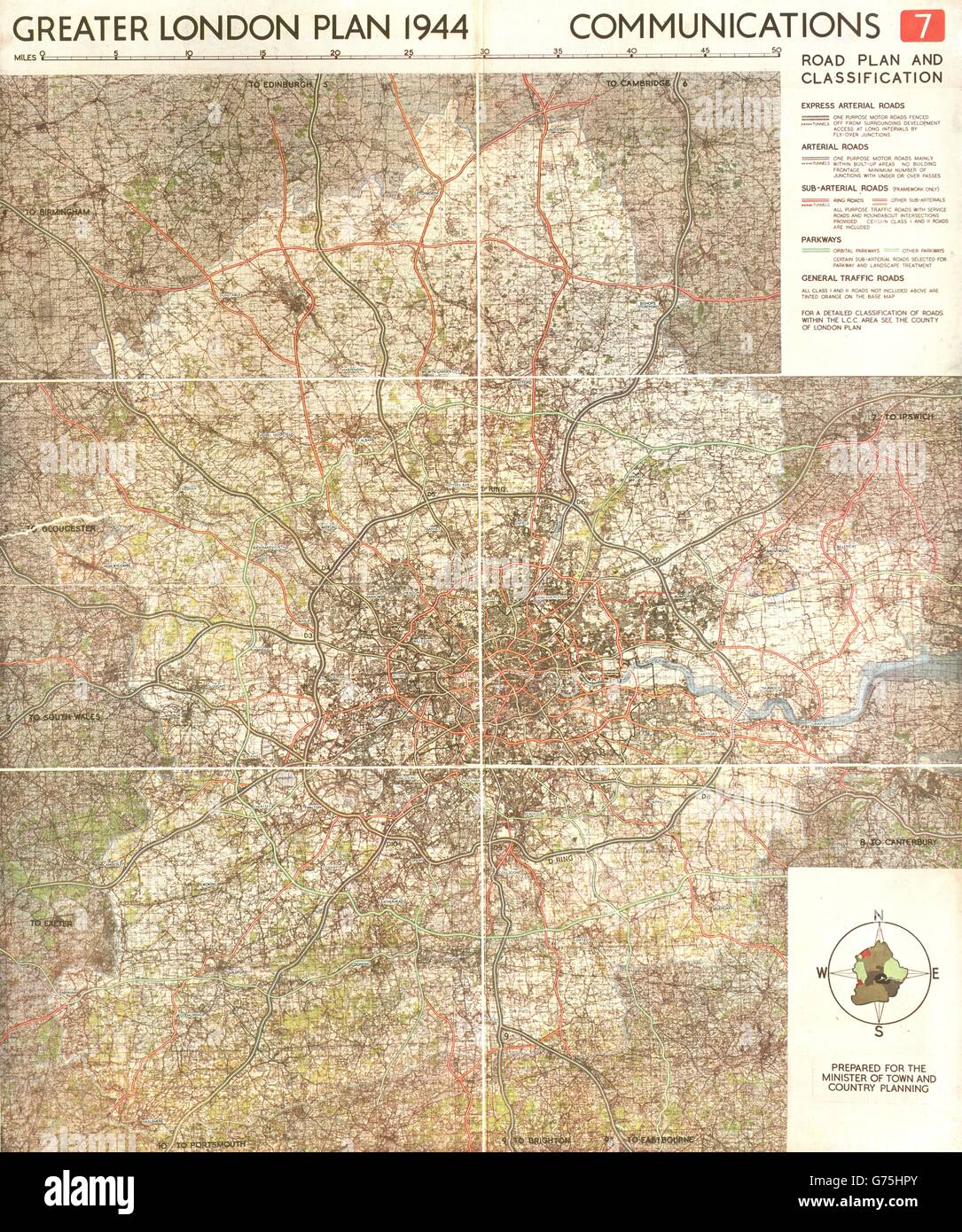
GREATER LONDON PLAN. Motorways arterial ringways roads M25.ABERCROMBIE, 1944 map

RFID:Image ID:G75HPY
Image details
Contributor:
Antiqua Print Gallery / Alamy Stock PhotoImage ID:
G75HPYFile size:
83.4 MB (7.3 MB Compressed download)Releases:
Model - no | Property - noDo I need a release?Dimensions:
4934 x 5908 px | 41.8 x 50 cm | 16.4 x 19.7 inches | 300dpiDate taken:
1944Location:
LondonMore information:
This image could have imperfections as it’s either historical or reportage.
'Greater London Plan 1944; Communications. Road plan and classification'. Artist/engraver/cartographer: Patrick Abercrombie. Provenance: "Greater London Plan 1944"; by Patrick Abercrombie; Published by His Majesty's Stationary Office, London. Contains public sector information licensed under the Open Government Licence v3.0. Type: Vintage colour town planning map.