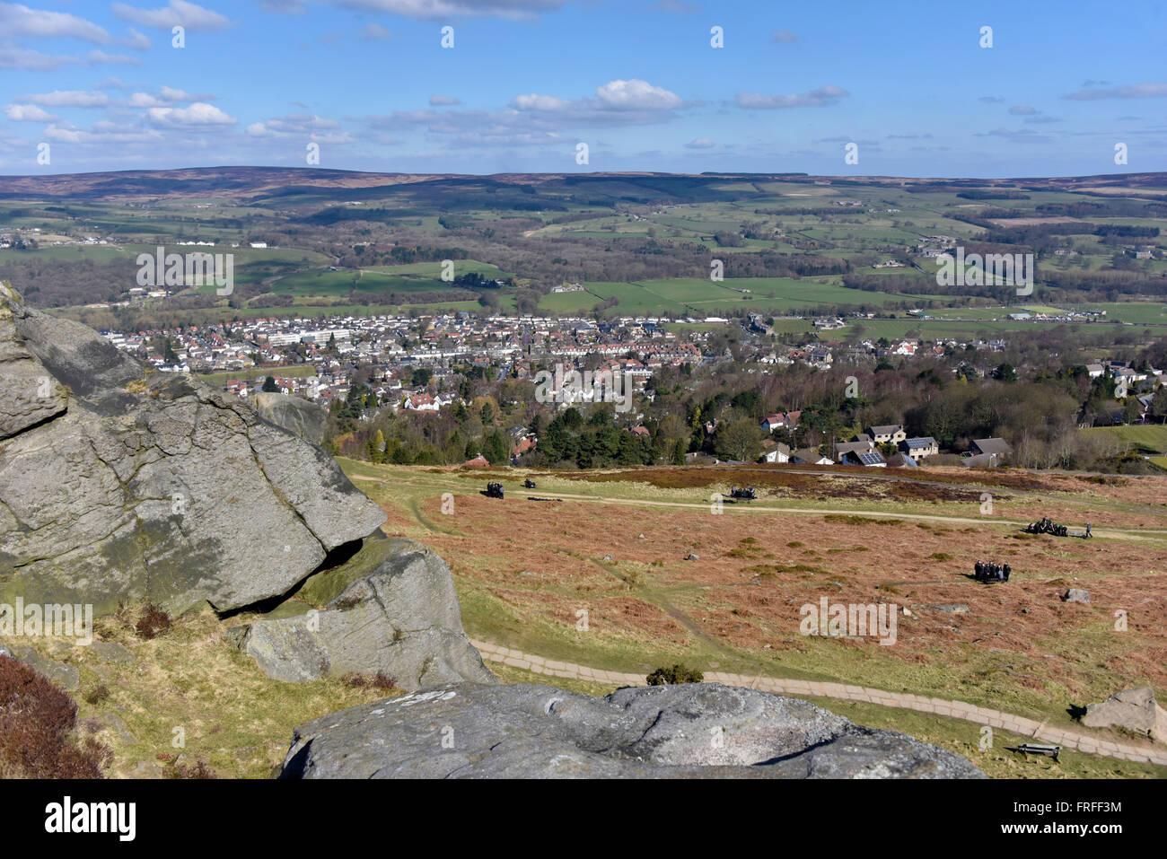
Ilkley Moor. Ilkley, West Yorkshire, England, United Kingdom, Europe.

Image details
Contributor:
Stan Pritchard / Alamy Stock PhotoImage ID:
FRFF3MFile size:
69.1 MB (3.2 MB Compressed download)Releases:
Model - no | Property - noDo I need a release?Dimensions:
6016 x 4016 px | 50.9 x 34 cm | 20.1 x 13.4 inches | 300dpiDate taken:
20 March 2016Location:
Ilkley Moor. Ilkley, West Yorkshire, England, United Kingdom, Europe.More information:
Ilkley Moor is part of Rombalds Moor, the moorland between Ilkley and Keighley (pronounced Keethly) in West Yorkshire, England. The moor, which rises to 402 m (1, 319 ft) above sea level, is well known as the inspiration for the Yorkshire "county anthem" On Ilkla Moor Baht 'at (dialect for 'on Ilkley Moor without a hat'). During the Carboniferous period (325 million years ago), Ilkley Moor was part of a sea level swampy area fed by meandering river channels coming from the north. The layers in the eroded bank faces of stream gullies in the area represent sea levels with various tides depositing different sorts of sediment. Over a long period of time the sediments were cemented and compacted into hard rock layers. Geological forces lifted and tilted the strata a little towards the south-east, producing many small fractures, or faults. Since the end of the Carboniferous time there has been erosion and more than a thousand metres of the coal-bearing rocks have been completely removed from the area. During the last million years, Ice Age glaciers modified the shape of the Wharfe valley, deepening it, smoothing it and leaving behind glacial debris. The millstone grit not only gives character to the town of Ilkley but gives the area its acid soils, heather moors, soft water and rocky scars.