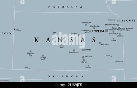
 Kansas, KS, gray political map, with the capital Topeka and largest cities. State in the Midwestern United States of America, The Sunflower State. Stock Photohttps://www.alamy.com/image-license-details/?v=1https://www.alamy.com/kansas-ks-gray-political-map-with-the-capital-topeka-and-largest-cities-state-in-the-midwestern-united-states-of-america-the-sunflower-state-image451369599.html
RF2H69JER–Kansas, KS, gray political map, with the capital Topeka and largest cities. State in the Midwestern United States of America, The Sunflower State.
 Ballotbox Map Kansas Stock Photohttps://www.alamy.com/image-license-details/?v=1https://www.alamy.com/stock-photo-ballotbox-map-kansas-93639817.html
RFFC9JF5–Ballotbox Map Kansas
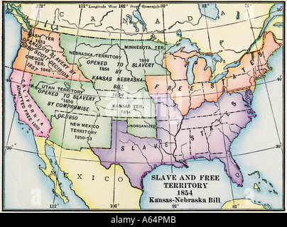 Map of slave and free areas of the United States 1854 at the time of the Kansas Nebraska Act. Color lithograph Stock Photohttps://www.alamy.com/image-license-details/?v=1https://www.alamy.com/map-of-slave-and-free-areas-of-the-united-states-1854-at-the-time-image6548682.html
RMA64PMB–Map of slave and free areas of the United States 1854 at the time of the Kansas Nebraska Act. Color lithograph
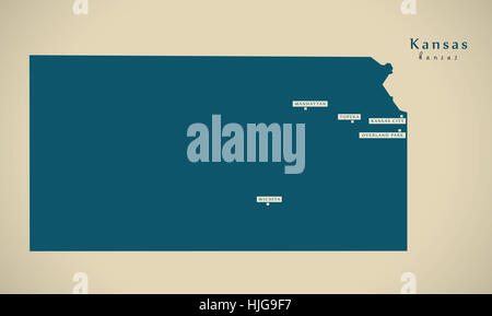 Modern Map - Kansas USA federal state illustration silhouette Stock Photohttps://www.alamy.com/image-license-details/?v=1https://www.alamy.com/stock-photo-modern-map-kansas-usa-federal-state-illustration-silhouette-131895099.html
RFHJG9F7–Modern Map - Kansas USA federal state illustration silhouette
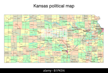
 Political map of Kansas Stock Photohttps://www.alamy.com/image-license-details/?v=1https://www.alamy.com/stock-photo-political-map-of-kansas-34009717.html
RMBY97MN–Political map of Kansas
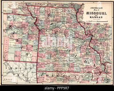 J H Colton's Map of Missouri and Kansas, circa 1863 Stock Photohttps://www.alamy.com/image-license-details/?v=1https://www.alamy.com/j-h-coltons-map-of-missouri-and-kansas-circa-1863-image220537499.html
RMPPP9R7–J H Colton's Map of Missouri and Kansas, circa 1863
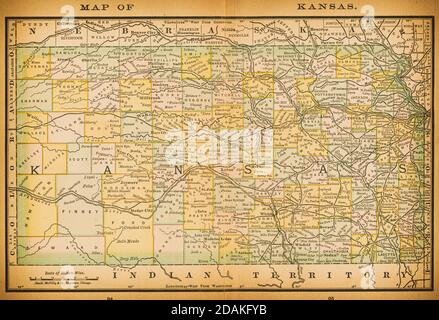 19th century map of Kansas. Published in New Dollar Atlas of the United States and Dominion of Canada. (Rand McNally & Co's, Chicago, 1884). Stock Photohttps://www.alamy.com/image-license-details/?v=1https://www.alamy.com/19th-century-map-of-kansas-published-in-new-dollar-atlas-of-the-united-states-and-dominion-of-canada-rand-mcnally-cos-chicago-1884-image385204271.html
RF2DAKFYB–19th century map of Kansas. Published in New Dollar Atlas of the United States and Dominion of Canada. (Rand McNally & Co's, Chicago, 1884).
 Map of the state of Kansas - USA Stock Photohttps://www.alamy.com/image-license-details/?v=1https://www.alamy.com/stock-photo-map-of-the-state-of-kansas-usa-53606101.html
RFD35Y3H–Map of the state of Kansas - USA
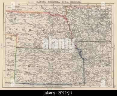 MIDWESTERN USA. Kansas Nebraska Iowa Missouri. Railroads. JOHNSTON 1901 map Stock Photohttps://www.alamy.com/image-license-details/?v=1https://www.alamy.com/midwestern-usa-kansas-nebraska-iowa-missouri-railroads-johnston-1901-map-image401429689.html
RF2E92KJH–MIDWESTERN USA. Kansas Nebraska Iowa Missouri. Railroads. JOHNSTON 1901 map
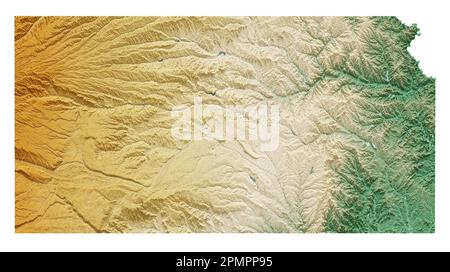 The US state of Kansas. Highly detailed 3D rendering of shaded relief map with rivers and lakes. Colored by elevation. Created with satellite data. Stock Photohttps://www.alamy.com/image-license-details/?v=1https://www.alamy.com/the-us-state-of-kansas-highly-detailed-3d-rendering-of-shaded-relief-map-with-rivers-and-lakes-colored-by-elevation-created-with-satellite-data-image546314977.html
RF2PMPP95–The US state of Kansas. Highly detailed 3D rendering of shaded relief map with rivers and lakes. Colored by elevation. Created with satellite data.
 Kansas State map isolated on a white background, USA. Stock Photohttps://www.alamy.com/image-license-details/?v=1https://www.alamy.com/stock-photo-kansas-state-map-isolated-on-a-white-background-usa-79898529.html
RMEHYKAW–Kansas State map isolated on a white background, USA.
