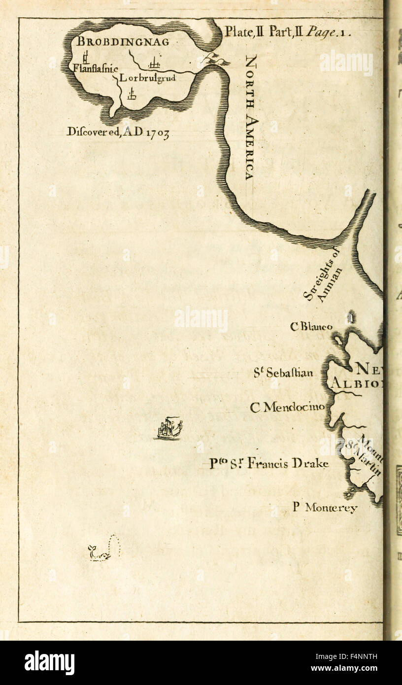
Map showing location of Brobdingnag from first edition of 'Travels into Several Remote Nations of the World' better know as 'Gulliver's Travels' by Jonathan Swift (1667-1745). See description for more information.

RMID:Image ID:F4NNTH
Image details
Contributor:
AF Fotografie / Alamy Stock PhotoImage ID:
F4NNTHFile size:
57.7 MB (1.4 MB Compressed download)Releases:
Model - no | Property - noDo I need a release?Dimensions:
3559 x 5669 px | 30.1 x 48 cm | 11.9 x 18.9 inches | 300dpiDate taken:
1726Location:
London, United KingdomMore information:
This image could have imperfections as it’s either historical or reportage.
Photograph from 1726 first edition of 'Travels into Several Remote Nations of the World by Lemuel Gulliver' Volume 1. 'Travels into Several Remote Nations of the World. In Four Parts. By Lemuel Gulliver, First a Surgeon, and then a Captain of Several Ships' better known as 'Gulliver's Travels', is a popular parody on travel novels and a powerful satirical view on the nature of government and religon. Since its first publication in 1726 it has never been out of print and been subject to numerous adaptations. Credit: Private Collection / AF Fotografie