Quick filters:
Antony map Stock Photos and Images
 A very old map showing the church of St Anthony in Kerrier (Meneage) near Lantinney *Lannentenin or Lanyntenyn) Stock Photohttps://www.alamy.com/image-license-details/?v=1https://www.alamy.com/a-very-old-map-showing-the-church-of-st-anthony-in-kerrier-meneage-near-lantinney-lannentenin-or-lanyntenyn-image187564285.html
RMMW484D–A very old map showing the church of St Anthony in Kerrier (Meneage) near Lantinney *Lannentenin or Lanyntenyn)
 Map of the Battle of Actium on 2 September 31 BC, Ionian Sea, Greece Stock Photohttps://www.alamy.com/image-license-details/?v=1https://www.alamy.com/map-of-the-battle-of-actium-on-2-september-31-bc-ionian-sea-greece-image366611937.html
RM2C8CH7D–Map of the Battle of Actium on 2 September 31 BC, Ionian Sea, Greece
 Quantum Cloud sculpture by Antony Gormley using tetrahedral steel sections include outline male body mounted above River Thames beside O2 in London UK Stock Photohttps://www.alamy.com/image-license-details/?v=1https://www.alamy.com/quantum-cloud-sculpture-by-antony-gormley-using-tetrahedral-steel-sections-include-outline-male-body-mounted-above-river-thames-beside-o2-in-london-uk-image556813654.html
RM2R9W1DX–Quantum Cloud sculpture by Antony Gormley using tetrahedral steel sections include outline male body mounted above River Thames beside O2 in London UK
 Kyiv, Ukraine. 19th Jan, 2022. U.S. Secretary of State Antony Blinken views a historic map with Ukrainian Foreign Minister Dmytro Kuleba, right, before a bilateral meeting, January 19, 2022 in Kyiv, Ukraine. Blinken is in Ukraine to avert a Russian attack. Credit: Ron Przysucha/State Department/Alamy Live News Stock Photohttps://www.alamy.com/image-license-details/?v=1https://www.alamy.com/kyiv-ukraine-19th-jan-2022-us-secretary-of-state-antony-blinken-views-a-historic-map-with-ukrainian-foreign-minister-dmytro-kuleba-right-before-a-bilateral-meeting-january-19-2022-in-kyiv-ukraine-blinken-is-in-ukraine-to-avert-a-russian-attack-credit-ron-przysuchastate-departmentalamy-live-news-image457560820.html
RM2HGBKDT–Kyiv, Ukraine. 19th Jan, 2022. U.S. Secretary of State Antony Blinken views a historic map with Ukrainian Foreign Minister Dmytro Kuleba, right, before a bilateral meeting, January 19, 2022 in Kyiv, Ukraine. Blinken is in Ukraine to avert a Russian attack. Credit: Ron Przysucha/State Department/Alamy Live News
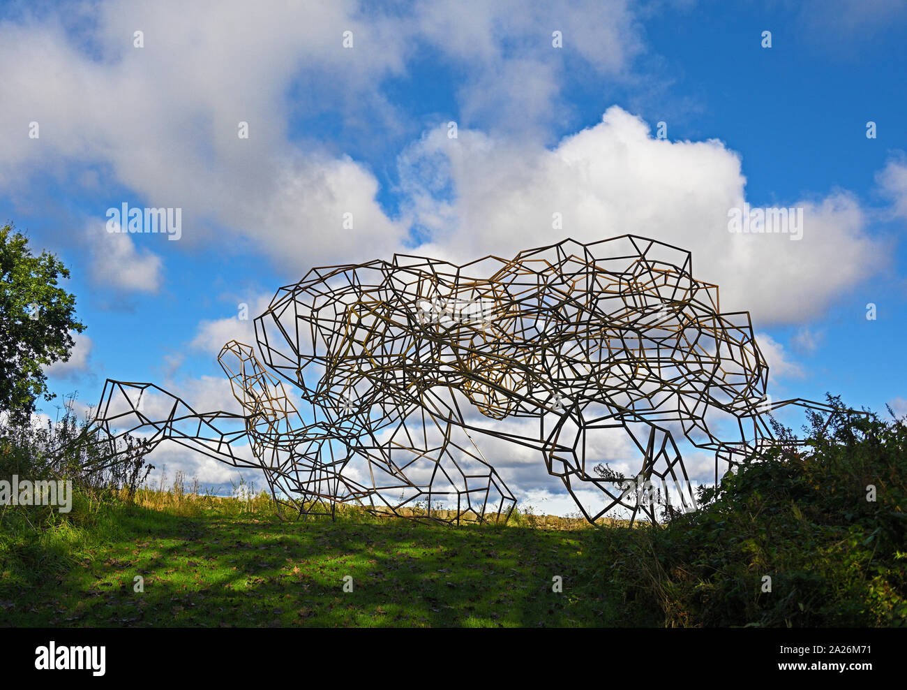 'Firmament', outdoor artwork by Antony Gormley. Gala Hill Wood, Jupiter Artland, Bonnington House, Wilkieston, West Lothian, Scotland, United Kingdom, Stock Photohttps://www.alamy.com/image-license-details/?v=1https://www.alamy.com/firmament-outdoor-artwork-by-antony-gormley-gala-hill-wood-jupiter-artland-bonnington-house-wilkieston-west-lothian-scotland-united-kingdom-image328373893.html
RM2A26M71–'Firmament', outdoor artwork by Antony Gormley. Gala Hill Wood, Jupiter Artland, Bonnington House, Wilkieston, West Lothian, Scotland, United Kingdom,
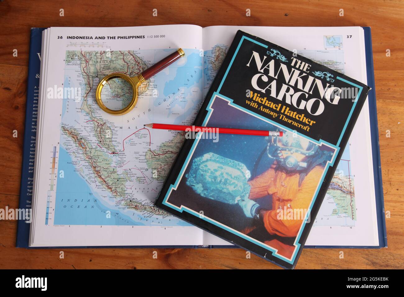 The Nanking Cargo (Geldermalsen shipwreck) hardback book 1987 on map of South China Sea by Michael Hatcher, Max De Rham and Antony Thorncroft Stock Photohttps://www.alamy.com/image-license-details/?v=1https://www.alamy.com/the-nanking-cargo-geldermalsen-shipwreck-hardback-book-1987-on-map-of-south-china-sea-by-michael-hatcher-max-de-rham-and-antony-thorncroft-image433760871.html
RM2G5KEBK–The Nanking Cargo (Geldermalsen shipwreck) hardback book 1987 on map of South China Sea by Michael Hatcher, Max De Rham and Antony Thorncroft
 Antony, France, Paris Suburbs,Tourist reading french poster Parce de Sceaux Stock Photohttps://www.alamy.com/image-license-details/?v=1https://www.alamy.com/stock-photo-antony-france-paris-suburbstourist-reading-french-poster-parce-de-138301630.html
RMJ1053X–Antony, France, Paris Suburbs,Tourist reading french poster Parce de Sceaux
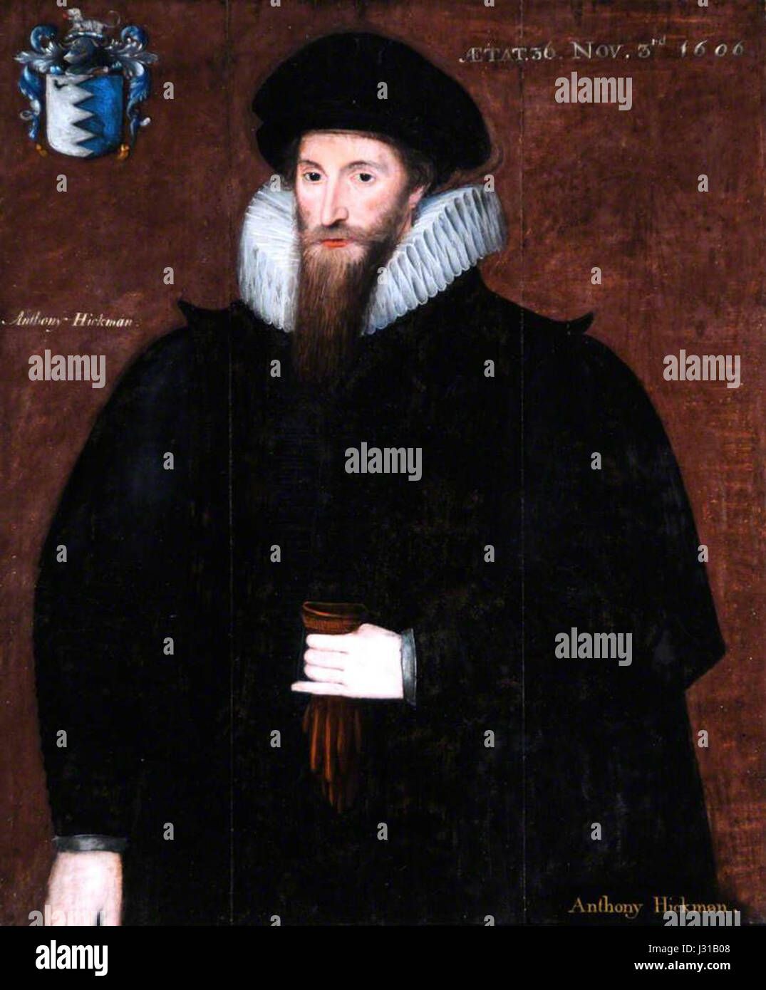 Antony Hickman Stock Photohttps://www.alamy.com/image-license-details/?v=1https://www.alamy.com/stock-photo-antony-hickman-139557496.html
RMJ31B08–Antony Hickman
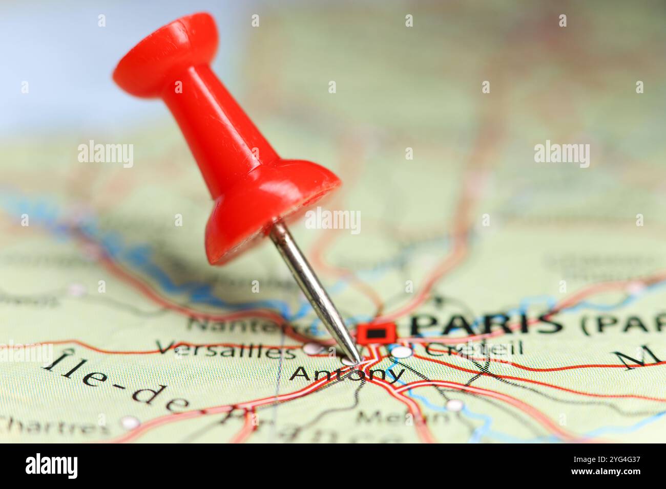 Antony, France pin on map Stock Photohttps://www.alamy.com/image-license-details/?v=1https://www.alamy.com/antony-france-pin-on-map-image629508187.html
RF2YG4G37–Antony, France pin on map
 Antony Medvedev Stock Photohttps://www.alamy.com/image-license-details/?v=1https://www.alamy.com/stock-photo-antony-medvedev-139478082.html
RMJ2WNM2–Antony Medvedev
 Antony Van Corlear Brought Into the Presence of Peter Stuyvesant Stock Photohttps://www.alamy.com/image-license-details/?v=1https://www.alamy.com/stock-photo-antony-van-corlear-brought-into-the-presence-of-peter-stuyvesant-146477299.html
RMJE8H83–Antony Van Corlear Brought Into the Presence of Peter Stuyvesant
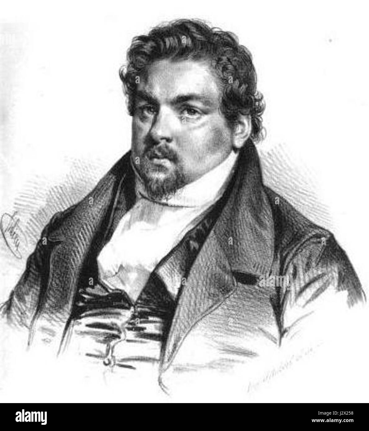 Antony Thouret Stock Photohttps://www.alamy.com/image-license-details/?v=1https://www.alamy.com/stock-photo-antony-thouret-139484724.html
RMJ2X258–Antony Thouret
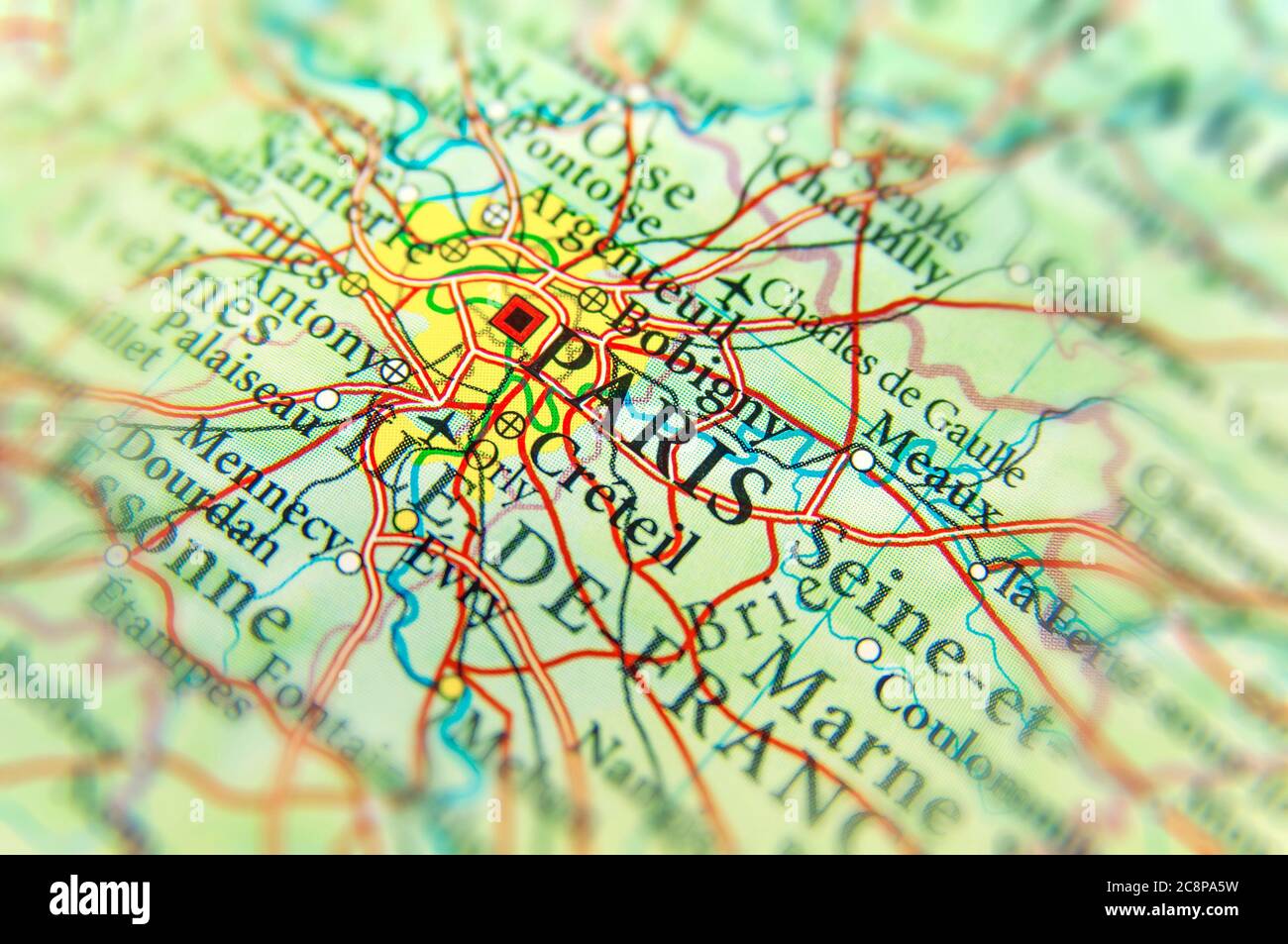 Geographic map of European country France with Paris capital city Stock Photohttps://www.alamy.com/image-license-details/?v=1https://www.alamy.com/geographic-map-of-european-country-france-with-paris-capital-city-image366825925.html
RF2C8PA5W–Geographic map of European country France with Paris capital city
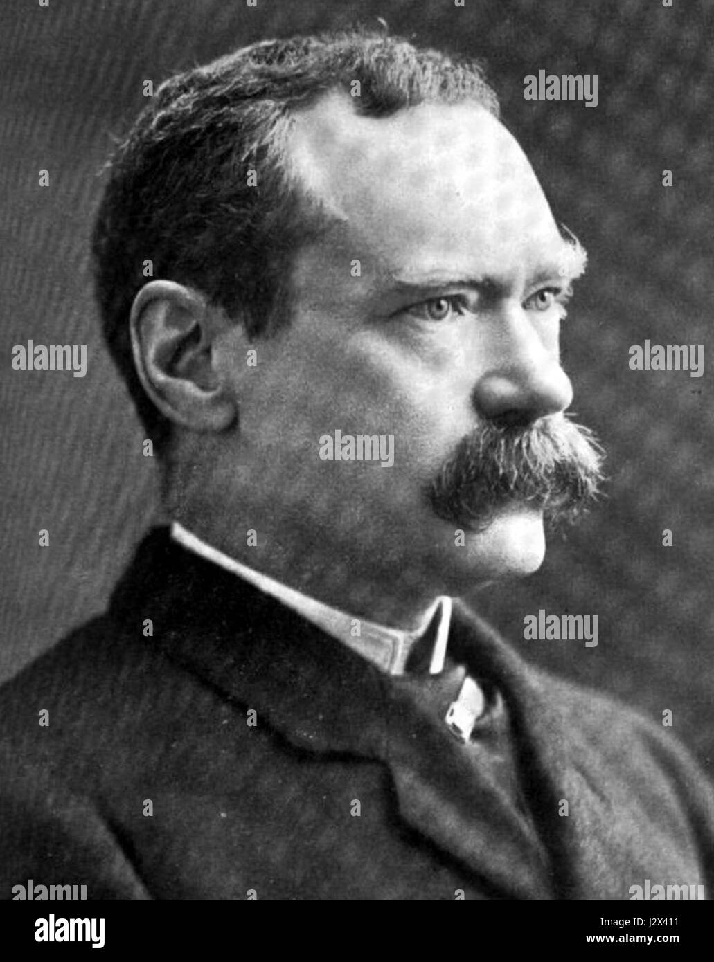 Antony MacDonnell 001 Stock Photohttps://www.alamy.com/image-license-details/?v=1https://www.alamy.com/stock-photo-antony-macdonnell-001-139486173.html
RMJ2X411–Antony MacDonnell 001
 Antony Memorial Park, , AU, Australia, Northern Territory, S 12 26' 20'', N 130 50' 33'', map, Cartascapes Map published in 2024. Explore Cartascapes, a map revealing Earth's diverse landscapes, cultures, and ecosystems. Journey through time and space, discovering the interconnectedness of our planet's past, present, and future. Stock Photohttps://www.alamy.com/image-license-details/?v=1https://www.alamy.com/antony-memorial-park-au-australia-northern-territory-s-12-26-20-n-130-50-33-map-cartascapes-map-published-in-2024-explore-cartascapes-a-map-revealing-earths-diverse-landscapes-cultures-and-ecosystems-journey-through-time-and-space-discovering-the-interconnectedness-of-our-planets-past-present-and-future-image625395682.html
RM2Y9D6G2–Antony Memorial Park, , AU, Australia, Northern Territory, S 12 26' 20'', N 130 50' 33'', map, Cartascapes Map published in 2024. Explore Cartascapes, a map revealing Earth's diverse landscapes, cultures, and ecosystems. Journey through time and space, discovering the interconnectedness of our planet's past, present, and future.
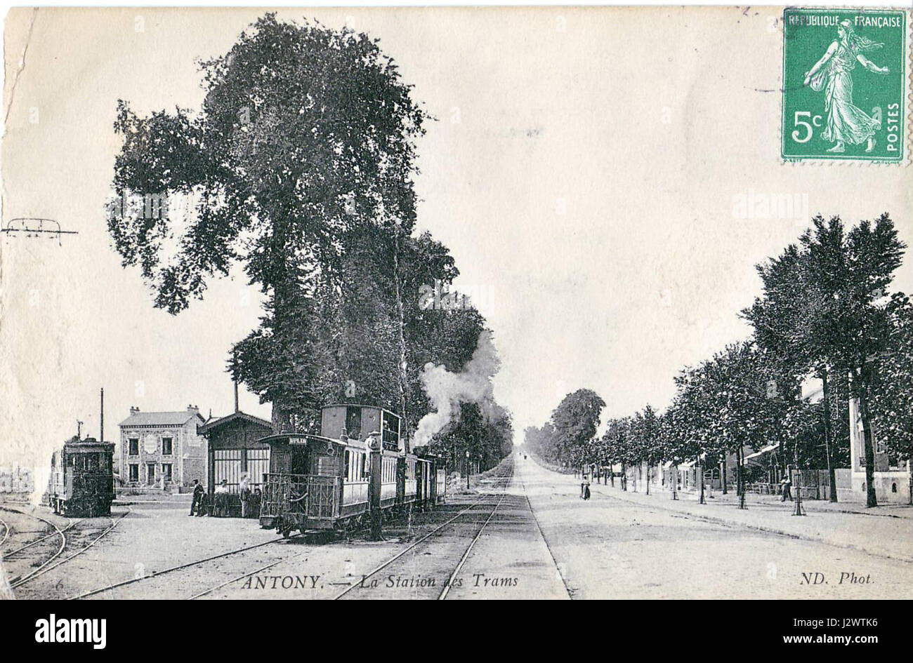 ANTONY - La Station des Trams Stock Photohttps://www.alamy.com/image-license-details/?v=1https://www.alamy.com/stock-photo-antony-la-station-des-trams-139480410.html
RMJ2WTK6–ANTONY - La Station des Trams
 Printable map of Antony, France with main and secondary roads and larger railways. This map is carefully designed for routing and placing individual d Stock Vectorhttps://www.alamy.com/image-license-details/?v=1https://www.alamy.com/printable-map-of-antony-france-with-main-and-secondary-roads-and-larger-railways-this-map-is-carefully-designed-for-routing-and-placing-individual-d-image243752974.html
RFT4FWBA–Printable map of Antony, France with main and secondary roads and larger railways. This map is carefully designed for routing and placing individual d
 CHAIX mai 1914 Cie Paris Arpajon Horaires Antony Stock Photohttps://www.alamy.com/image-license-details/?v=1https://www.alamy.com/stock-photo-chaix-mai-1914-cie-paris-arpajon-horaires-antony-139481211.html
RMJ2WWKR–CHAIX mai 1914 Cie Paris Arpajon Horaires Antony
 Road map of the city of Antony in France on a white background. Stock Photohttps://www.alamy.com/image-license-details/?v=1https://www.alamy.com/road-map-of-the-city-of-antony-in-france-on-a-white-background-image554317148.html
RF2R5R950–Road map of the city of Antony in France on a white background.
 Antony Patrick MacDonnell, Vanity Fair, 1905 08 03 Stock Photohttps://www.alamy.com/image-license-details/?v=1https://www.alamy.com/stock-image-antony-patrick-macdonnell-vanity-fair-1905-08-03-162167836.html
RMKBRAMC–Antony Patrick MacDonnell, Vanity Fair, 1905 08 03
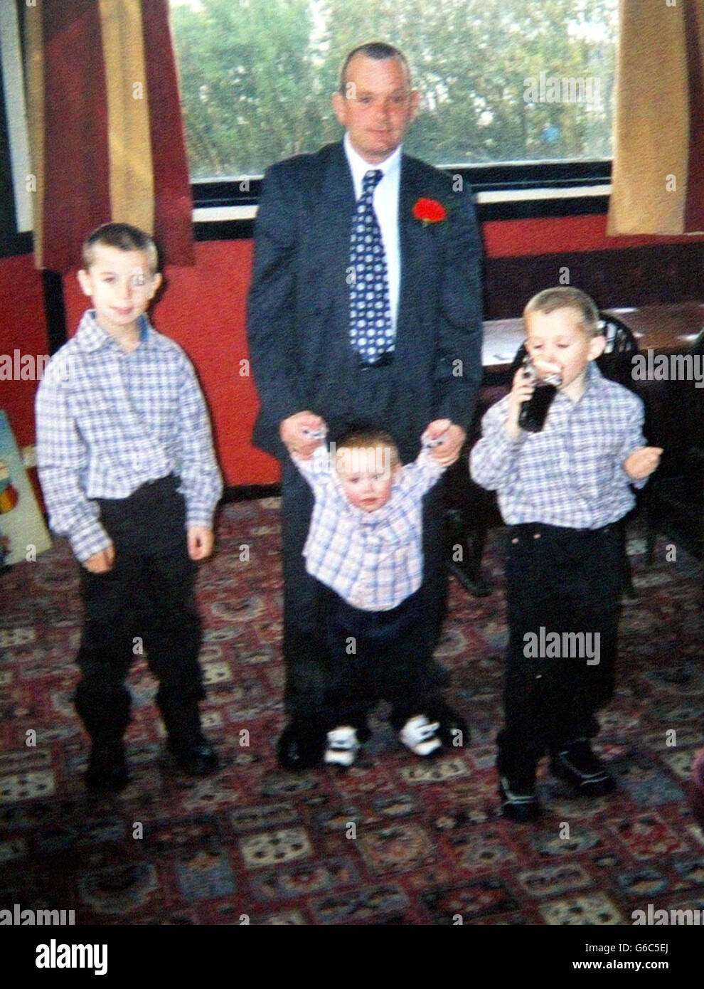 Daniel Entwistle - Missing Stock Photohttps://www.alamy.com/image-license-details/?v=1https://www.alamy.com/stock-photo-daniel-entwistle-missing-107217898.html
RMG6C5EJ–Daniel Entwistle - Missing
 Wierix Antony II Apparet Christvs in Monte Thabor3 Stock Photohttps://www.alamy.com/image-license-details/?v=1https://www.alamy.com/stock-image-wierix-antony-ii-apparet-christvs-in-monte-thabor3-161656847.html
RMKB02XR–Wierix Antony II Apparet Christvs in Monte Thabor3
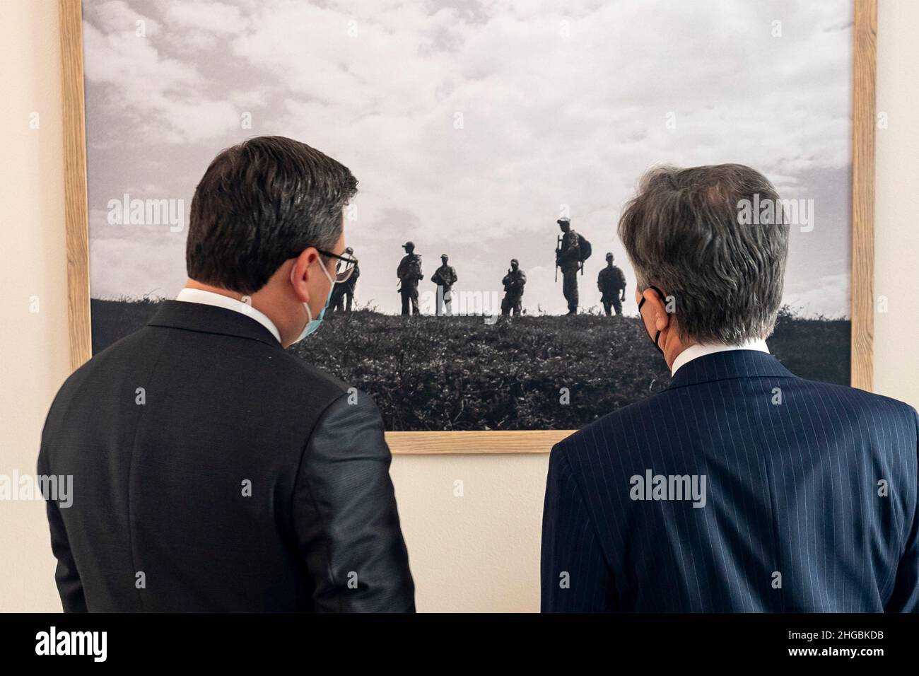 Kyiv, Ukraine. 19th Jan, 2022. U.S. Secretary of State Antony Blinken views a photograph with Ukrainian Foreign Minister Dmytro Kuleba, left, before a bilateral meeting, January 19, 2022 in Kyiv, Ukraine. Blinken is in Ukraine to avert a Russian attack. Credit: Ron Przysucha/State Department/Alamy Live News Stock Photohttps://www.alamy.com/image-license-details/?v=1https://www.alamy.com/kyiv-ukraine-19th-jan-2022-us-secretary-of-state-antony-blinken-views-a-photograph-with-ukrainian-foreign-minister-dmytro-kuleba-left-before-a-bilateral-meeting-january-19-2022-in-kyiv-ukraine-blinken-is-in-ukraine-to-avert-a-russian-attack-credit-ron-przysuchastate-departmentalamy-live-news-image457560807.html
RM2HGBKDB–Kyiv, Ukraine. 19th Jan, 2022. U.S. Secretary of State Antony Blinken views a photograph with Ukrainian Foreign Minister Dmytro Kuleba, left, before a bilateral meeting, January 19, 2022 in Kyiv, Ukraine. Blinken is in Ukraine to avert a Russian attack. Credit: Ron Przysucha/State Department/Alamy Live News
 'Firmament', outdoor artwork by Antony Gormley. Gala Hill Wood, Jupiter Artland, Bonnington House, Wilkieston, West Lothian, Scotland, United Kingdom, Stock Photohttps://www.alamy.com/image-license-details/?v=1https://www.alamy.com/firmament-outdoor-artwork-by-antony-gormley-gala-hill-wood-jupiter-artland-bonnington-house-wilkieston-west-lothian-scotland-united-kingdom-image328374029.html
RM2A26MBW–'Firmament', outdoor artwork by Antony Gormley. Gala Hill Wood, Jupiter Artland, Bonnington House, Wilkieston, West Lothian, Scotland, United Kingdom,
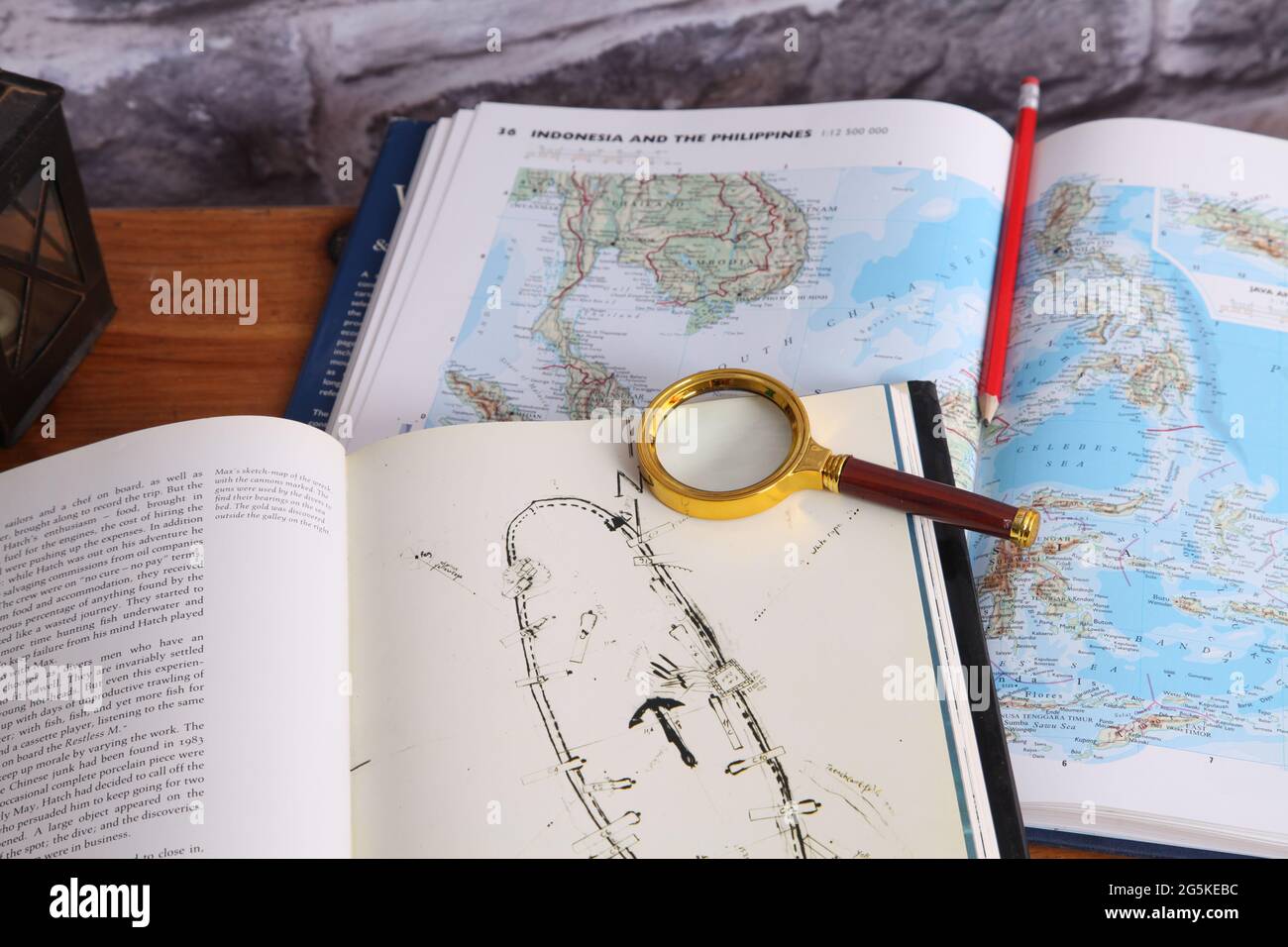 The Nanking Cargo (Geldermalsen shipwreck) hardback book 1987 on map of South China Sea by Michael Hatcher, Max De Rham and Antony Thorncroft Stock Photohttps://www.alamy.com/image-license-details/?v=1https://www.alamy.com/the-nanking-cargo-geldermalsen-shipwreck-hardback-book-1987-on-map-of-south-china-sea-by-michael-hatcher-max-de-rham-and-antony-thorncroft-image433760864.html
RM2G5KEBC–The Nanking Cargo (Geldermalsen shipwreck) hardback book 1987 on map of South China Sea by Michael Hatcher, Max De Rham and Antony Thorncroft
 Antony Wayne Stock Photohttps://www.alamy.com/image-license-details/?v=1https://www.alamy.com/antony-wayne-image155601837.html
RMK147MD–Antony Wayne
 Jerusalem, Israel. 22nd Oct, 2024. U.S Secretary of State Antony Blinken, left, with Israeli Prime Minister Benjamin Netanyahu, right, before their bilateral meeting to discuss the widening war against Hamas and Hezbollah, October 22, 2024 in Jerusalem, Israel. Credit: US Embassy Jerusalem/U.S State Department/Alamy Live News Stock Photohttps://www.alamy.com/image-license-details/?v=1https://www.alamy.com/jerusalem-israel-22nd-oct-2024-us-secretary-of-state-antony-blinken-left-with-israeli-prime-minister-benjamin-netanyahu-right-before-their-bilateral-meeting-to-discuss-the-widening-war-against-hamas-and-hezbollah-october-22-2024-in-jerusalem-israel-credit-us-embassy-jerusalemus-state-departmentalamy-live-news-image627543255.html
RM2YCY1R3–Jerusalem, Israel. 22nd Oct, 2024. U.S Secretary of State Antony Blinken, left, with Israeli Prime Minister Benjamin Netanyahu, right, before their bilateral meeting to discuss the widening war against Hamas and Hezbollah, October 22, 2024 in Jerusalem, Israel. Credit: US Embassy Jerusalem/U.S State Department/Alamy Live News
 Anto Antony and Yesudas Stock Photohttps://www.alamy.com/image-license-details/?v=1https://www.alamy.com/anto-antony-and-yesudas-image155469329.html
RMK0X6M1–Anto Antony and Yesudas
![Bronx, Topographical Map Sheet 4; [Map bounded by Mosholu Ave., Jerome Ave., Bronx River, Richard St., Lorillard Terrace, Tillotson Ave., Railroad Ave., Hull Ave., Perry Ave., Bainbridge Ave., Briggs Ave., Carlin PL.; Including Marion Ave., Antony Ave., Sedgwick Ave., Giles PL., Boston Ave., Heath Ave., Ft. Independence St., Bailey Ave., Albany Road, Van Cortlanat Ave., New York Boston Railroad] 1873 by New York (N.Y.). Department of Parks. Topographical Division Stock Photo Bronx, Topographical Map Sheet 4; [Map bounded by Mosholu Ave., Jerome Ave., Bronx River, Richard St., Lorillard Terrace, Tillotson Ave., Railroad Ave., Hull Ave., Perry Ave., Bainbridge Ave., Briggs Ave., Carlin PL.; Including Marion Ave., Antony Ave., Sedgwick Ave., Giles PL., Boston Ave., Heath Ave., Ft. Independence St., Bailey Ave., Albany Road, Van Cortlanat Ave., New York Boston Railroad] 1873 by New York (N.Y.). Department of Parks. Topographical Division Stock Photo](https://c8.alamy.com/comp/2YP1GF0/bronx-topographical-map-sheet-4-map-bounded-by-mosholu-ave-jerome-ave-bronx-river-richard-st-lorillard-terrace-tillotson-ave-railroad-ave-hull-ave-perry-ave-bainbridge-ave-briggs-ave-carlin-pl-including-marion-ave-antony-ave-sedgwick-ave-giles-pl-boston-ave-heath-ave-ft-independence-st-bailey-ave-albany-road-van-cortlanat-ave-new-york-boston-railroad-1873-by-new-york-ny-department-of-parks-topographical-division-2YP1GF0.jpg) Bronx, Topographical Map Sheet 4; [Map bounded by Mosholu Ave., Jerome Ave., Bronx River, Richard St., Lorillard Terrace, Tillotson Ave., Railroad Ave., Hull Ave., Perry Ave., Bainbridge Ave., Briggs Ave., Carlin PL.; Including Marion Ave., Antony Ave., Sedgwick Ave., Giles PL., Boston Ave., Heath Ave., Ft. Independence St., Bailey Ave., Albany Road, Van Cortlanat Ave., New York Boston Railroad] 1873 by New York (N.Y.). Department of Parks. Topographical Division Stock Photohttps://www.alamy.com/image-license-details/?v=1https://www.alamy.com/bronx-topographical-map-sheet-4-map-bounded-by-mosholu-ave-jerome-ave-bronx-river-richard-st-lorillard-terrace-tillotson-ave-railroad-ave-hull-ave-perry-ave-bainbridge-ave-briggs-ave-carlin-pl-including-marion-ave-antony-ave-sedgwick-ave-giles-pl-boston-ave-heath-ave-ft-independence-st-bailey-ave-albany-road-van-cortlanat-ave-new-york-boston-railroad-1873-by-new-york-ny-department-of-parks-topographical-division-image633130596.html
Bronx, Topographical Map Sheet 4; [Map bounded by Mosholu Ave., Jerome Ave., Bronx River, Richard St., Lorillard Terrace, Tillotson Ave., Railroad Ave., Hull Ave., Perry Ave., Bainbridge Ave., Briggs Ave., Carlin PL.; Including Marion Ave., Antony Ave., Sedgwick Ave., Giles PL., Boston Ave., Heath Ave., Ft. Independence St., Bailey Ave., Albany Road, Van Cortlanat Ave., New York Boston Railroad] 1873 by New York (N.Y.). Department of Parks. Topographical Division Stock Photohttps://www.alamy.com/image-license-details/?v=1https://www.alamy.com/bronx-topographical-map-sheet-4-map-bounded-by-mosholu-ave-jerome-ave-bronx-river-richard-st-lorillard-terrace-tillotson-ave-railroad-ave-hull-ave-perry-ave-bainbridge-ave-briggs-ave-carlin-pl-including-marion-ave-antony-ave-sedgwick-ave-giles-pl-boston-ave-heath-ave-ft-independence-st-bailey-ave-albany-road-van-cortlanat-ave-new-york-boston-railroad-1873-by-new-york-ny-department-of-parks-topographical-division-image633130596.htmlRM2YP1GF0–Bronx, Topographical Map Sheet 4; [Map bounded by Mosholu Ave., Jerome Ave., Bronx River, Richard St., Lorillard Terrace, Tillotson Ave., Railroad Ave., Hull Ave., Perry Ave., Bainbridge Ave., Briggs Ave., Carlin PL.; Including Marion Ave., Antony Ave., Sedgwick Ave., Giles PL., Boston Ave., Heath Ave., Ft. Independence St., Bailey Ave., Albany Road, Van Cortlanat Ave., New York Boston Railroad] 1873 by New York (N.Y.). Department of Parks. Topographical Division
 Antony Kok Jagadada Stock Photohttps://www.alamy.com/image-license-details/?v=1https://www.alamy.com/antony-kok-jagadada-image155548057.html
RMK11R3N–Antony Kok Jagadada
 Human Sundial Stock Photohttps://www.alamy.com/image-license-details/?v=1https://www.alamy.com/stock-photo-human-sundial-106703940.html
RMG5GNY0–Human Sundial
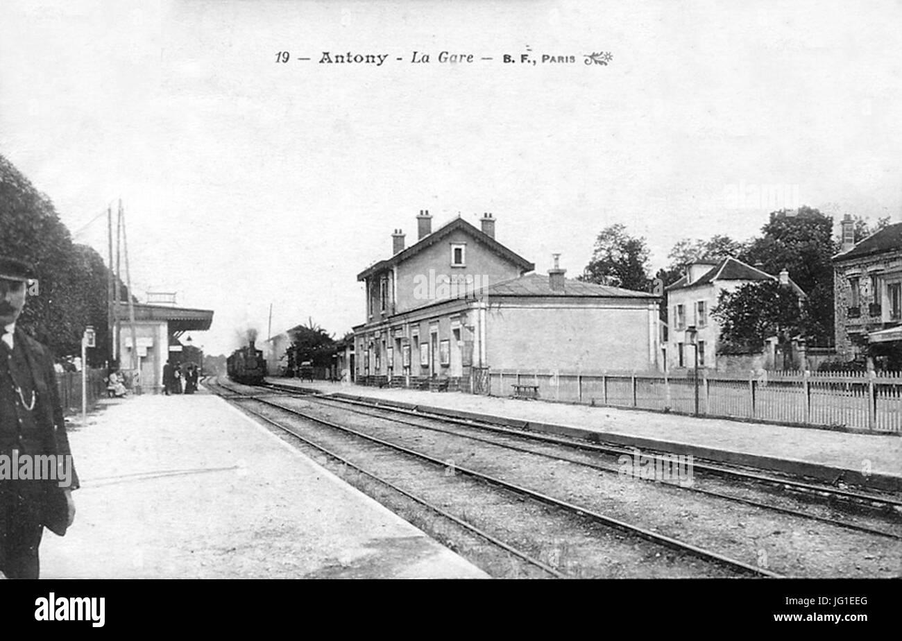 Gare-Antony-PO-1900 Stock Photohttps://www.alamy.com/image-license-details/?v=1https://www.alamy.com/stock-photo-gare-antony-po-1900-147550776.html
RMJG1EEG–Gare-Antony-PO-1900
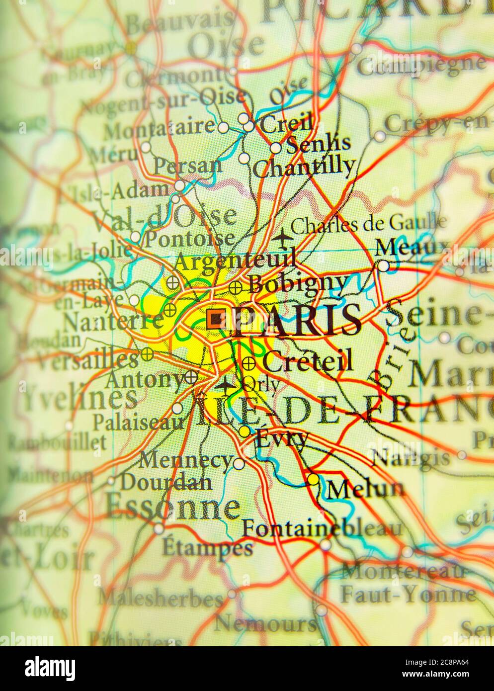 Geographic map of European country France with Paris capital city Stock Photohttps://www.alamy.com/image-license-details/?v=1https://www.alamy.com/geographic-map-of-european-country-france-with-paris-capital-city-image366825932.html
RF2C8PA64–Geographic map of European country France with Paris capital city
 D090D0BDD182D0BED0BDD196 D09FD196D0BBD196D0BDD0BAD0B5D0B2D196D187 Antony Pilinkiewicz Stock Photohttps://www.alamy.com/image-license-details/?v=1https://www.alamy.com/stock-photo-d090d0bdd182d0bed0bdd196-d09fd196d0bbd196d0bdd0bad0b5d0b2d196d187-147418234.html
RMJFRDCX–D090D0BDD182D0BED0BDD196 D09FD196D0BBD196D0BDD0BAD0B5D0B2D196D187 Antony Pilinkiewicz
 Antony, Hauts-de-Seine, FR, France, Île-de-France, N 48 45' 11'', N 2 17' 48'', map, Cartascapes Map published in 2024. Explore Cartascapes, a map revealing Earth's diverse landscapes, cultures, and ecosystems. Journey through time and space, discovering the interconnectedness of our planet's past, present, and future. Stock Photohttps://www.alamy.com/image-license-details/?v=1https://www.alamy.com/antony-hauts-de-seine-fr-france-le-de-france-n-48-45-11-n-2-17-48-map-cartascapes-map-published-in-2024-explore-cartascapes-a-map-revealing-earths-diverse-landscapes-cultures-and-ecosystems-journey-through-time-and-space-discovering-the-interconnectedness-of-our-planets-past-present-and-future-image614322406.html
RM2XKCPDX–Antony, Hauts-de-Seine, FR, France, Île-de-France, N 48 45' 11'', N 2 17' 48'', map, Cartascapes Map published in 2024. Explore Cartascapes, a map revealing Earth's diverse landscapes, cultures, and ecosystems. Journey through time and space, discovering the interconnectedness of our planet's past, present, and future.
 Anto Antony MP Jayaram Ramesh Stock Photohttps://www.alamy.com/image-license-details/?v=1https://www.alamy.com/anto-antony-mp-jayaram-ramesh-image155470338.html
RMK0X802–Anto Antony MP Jayaram Ramesh
 Crosby Coastal Park, Merseyside. UK Weather. Warm sunshine in Liverpool Mariners Way, part of the extensive sands joining Merseyside and the Sefton Coast. The Sefton Coastal Path runs 22 miles all up the coast from Crosby Beach northwards with fine views of the Mersey estuary and is now famous for artist Antony Gormley's sculpture Another Place. Credit; MediaWorldImages/AlamyLiveNews Stock Photohttps://www.alamy.com/image-license-details/?v=1https://www.alamy.com/stock-photo-crosby-coastal-park-merseyside-uk-weather-warm-sunshine-in-liverpool-139651785.html
RMJ35K7N–Crosby Coastal Park, Merseyside. UK Weather. Warm sunshine in Liverpool Mariners Way, part of the extensive sands joining Merseyside and the Sefton Coast. The Sefton Coastal Path runs 22 miles all up the coast from Crosby Beach northwards with fine views of the Mersey estuary and is now famous for artist Antony Gormley's sculpture Another Place. Credit; MediaWorldImages/AlamyLiveNews
 Antony (Hauts de Seine) obelisque Square Lexington Stock Photohttps://www.alamy.com/image-license-details/?v=1https://www.alamy.com/antony-hauts-de-seine-obelisque-square-lexington-image155470145.html
RMK0X7N5–Antony (Hauts de Seine) obelisque Square Lexington
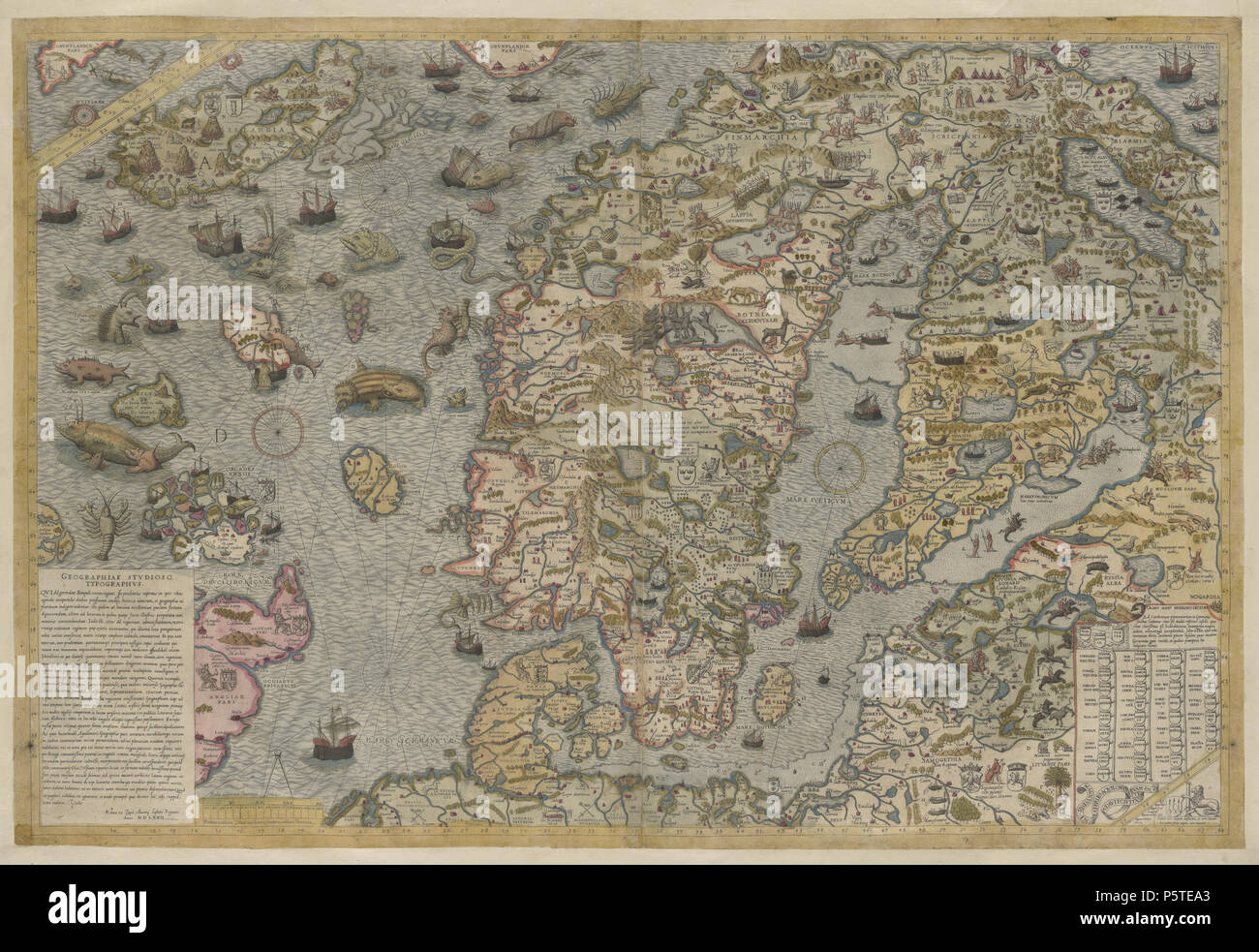 N/A. English: A faithful reproduction of Carta marina (a wallmap of Scandinavia by Olaus Magnus published in 1539) published by French engraver Antony Lafreri in Rome in 1572. 1572, based on a map published in 1539. Antony Lafreri, based on Olaus Magnus' work 278 Carta Marina by Antony Lafreri, 1572 Stock Photohttps://www.alamy.com/image-license-details/?v=1https://www.alamy.com/na-english-a-faithful-reproduction-of-carta-marina-a-wallmap-of-scandinavia-by-olaus-magnus-published-in-1539-published-by-french-engraver-antony-lafreri-in-rome-in-1572-1572-based-on-a-map-published-in-1539-antony-lafreri-based-on-olaus-magnus-work-278-carta-marina-by-antony-lafreri-1572-image210135803.html
RMP5TEA3–N/A. English: A faithful reproduction of Carta marina (a wallmap of Scandinavia by Olaus Magnus published in 1539) published by French engraver Antony Lafreri in Rome in 1572. 1572, based on a map published in 1539. Antony Lafreri, based on Olaus Magnus' work 278 Carta Marina by Antony Lafreri, 1572
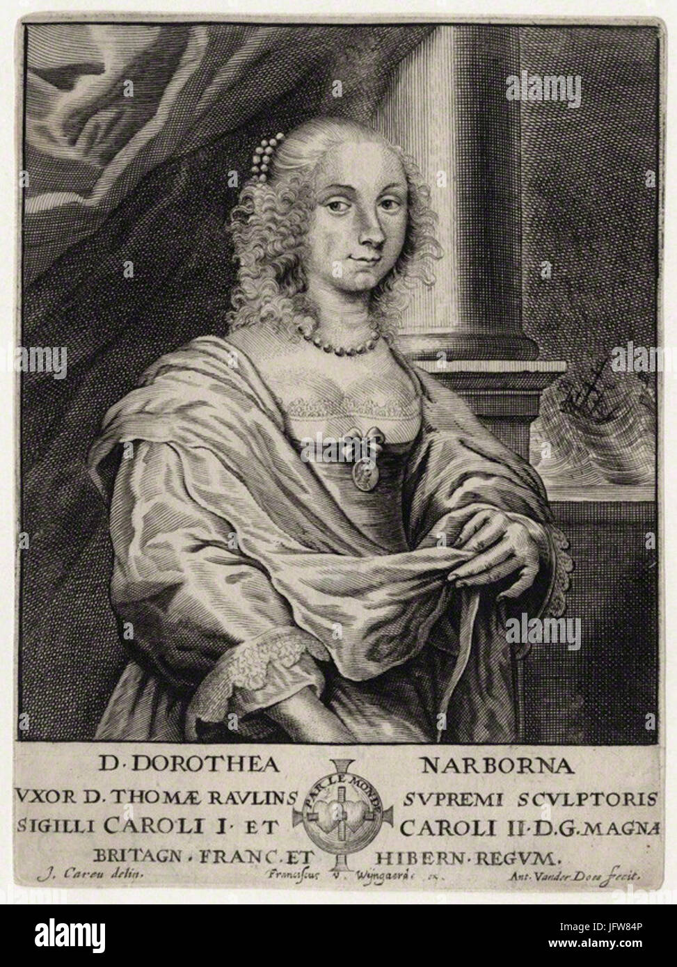 Antony van der Does - Dorothea Rawlins (née Narbona) Stock Photohttps://www.alamy.com/image-license-details/?v=1https://www.alamy.com/stock-photo-antony-van-der-does-dorothea-rawlins-ne-narbona-147457990.html
RMJFW84P–Antony van der Does - Dorothea Rawlins (née Narbona)
 Undated picture, of missing Daniel Entwistle (right) and his older brother, Antony, 10. There has been no sign of Daniel since he went missing close to his home in Great Yarmouth. Police are now using sophisticated sonar equipment to map a strech of the nearby riverbed . Stock Photohttps://www.alamy.com/image-license-details/?v=1https://www.alamy.com/stock-photo-undated-picture-of-missing-daniel-entwistle-right-and-his-older-brother-107217897.html
RMG6C5EH–Undated picture, of missing Daniel Entwistle (right) and his older brother, Antony, 10. There has been no sign of Daniel since he went missing close to his home in Great Yarmouth. Police are now using sophisticated sonar equipment to map a strech of the nearby riverbed .
 Antony Hendrik van der Boon Mesch door Johann Peter Berghaus Stock Photohttps://www.alamy.com/image-license-details/?v=1https://www.alamy.com/antony-hendrik-van-der-boon-mesch-door-johann-peter-berghaus-image155528325.html
RMK10WY1–Antony Hendrik van der Boon Mesch door Johann Peter Berghaus
 'Firmament', outdoor artwork by Antony Gormley. Gala Hill Wood, Jupiter Artland, Bonnington House, Wilkieston, West Lothian, Scotland, United Kingdom, Stock Photohttps://www.alamy.com/image-license-details/?v=1https://www.alamy.com/firmament-outdoor-artwork-by-antony-gormley-gala-hill-wood-jupiter-artland-bonnington-house-wilkieston-west-lothian-scotland-united-kingdom-image328374246.html
RM2A26MKJ–'Firmament', outdoor artwork by Antony Gormley. Gala Hill Wood, Jupiter Artland, Bonnington House, Wilkieston, West Lothian, Scotland, United Kingdom,
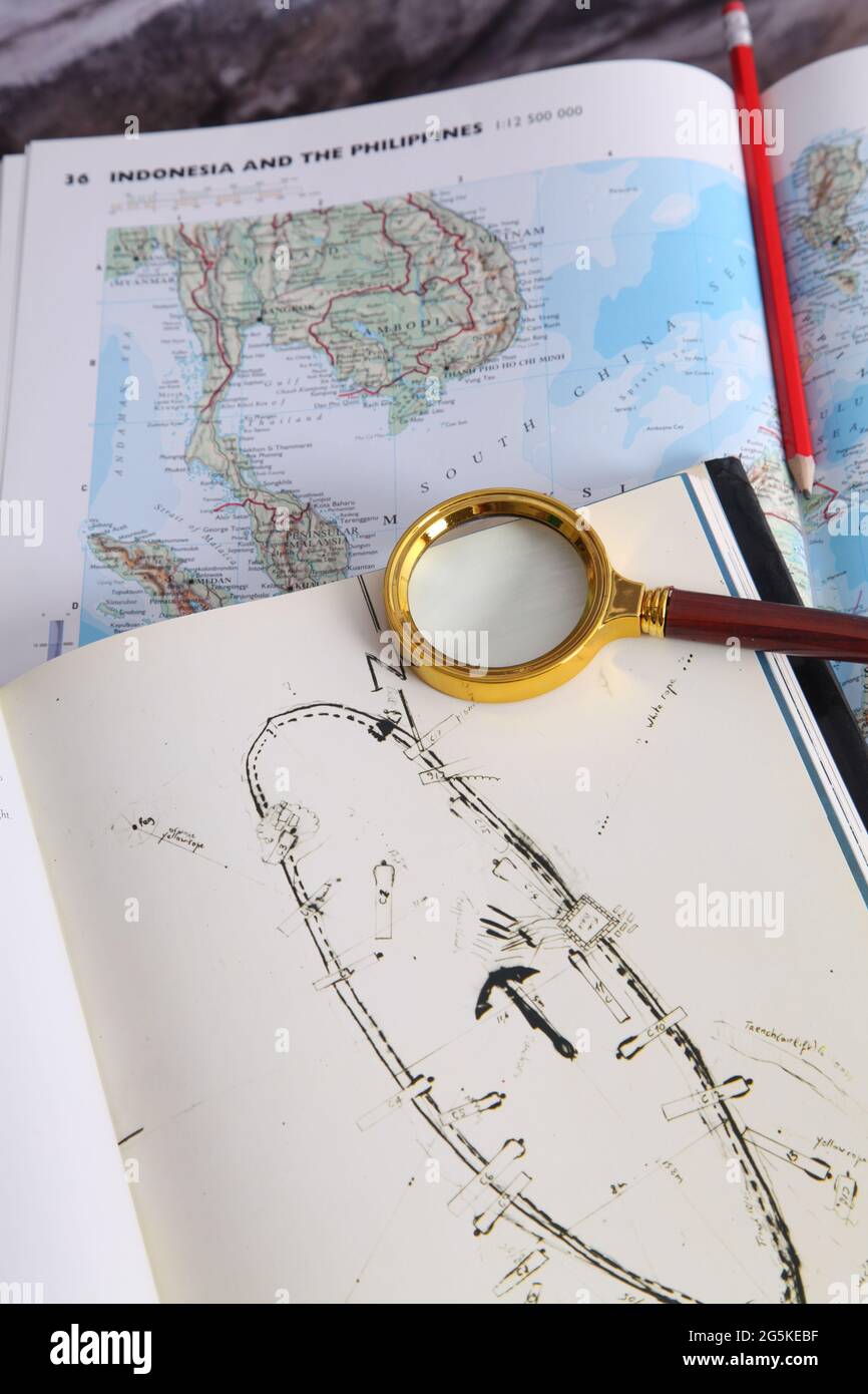 The Nanking Cargo (Geldermalsen shipwreck) hardback book 1987 on map of South China Sea by Michael Hatcher, Max De Rham and Antony Thorncroft Stock Photohttps://www.alamy.com/image-license-details/?v=1https://www.alamy.com/the-nanking-cargo-geldermalsen-shipwreck-hardback-book-1987-on-map-of-south-china-sea-by-michael-hatcher-max-de-rham-and-antony-thorncroft-image433760867.html
RM2G5KEBF–The Nanking Cargo (Geldermalsen shipwreck) hardback book 1987 on map of South China Sea by Michael Hatcher, Max De Rham and Antony Thorncroft
 Two Roundels with St. Sebastian (probably) and St. Antony, and with St. Catherine and St. Barbara, 1 of 2, Cologne, late 1400s, stained glass - Museum Schnütgen - Cologne, Germany - DSC09835 Stock Photohttps://www.alamy.com/image-license-details/?v=1https://www.alamy.com/stock-photo-two-roundels-with-st-sebastian-probably-and-st-antony-and-with-st-147691219.html
RMJG7WJB–Two Roundels with St. Sebastian (probably) and St. Antony, and with St. Catherine and St. Barbara, 1 of 2, Cologne, late 1400s, stained glass - Museum Schnütgen - Cologne, Germany - DSC09835
 Jerusalem, Israel. 22nd Oct, 2024. U.S Secretary of State Antony Blinken, left, with Israeli Prime Minister Benjamin Netanyahu, right, before their bilateral meeting to discuss the widening war against Hamas and Hezbollah, October 22, 2024 in Jerusalem, Israel. Credit: US Embassy Jerusalem/U.S State Department/Alamy Live News Stock Photohttps://www.alamy.com/image-license-details/?v=1https://www.alamy.com/jerusalem-israel-22nd-oct-2024-us-secretary-of-state-antony-blinken-left-with-israeli-prime-minister-benjamin-netanyahu-right-before-their-bilateral-meeting-to-discuss-the-widening-war-against-hamas-and-hezbollah-october-22-2024-in-jerusalem-israel-credit-us-embassy-jerusalemus-state-departmentalamy-live-news-image627543251.html
RM2YCY1PY–Jerusalem, Israel. 22nd Oct, 2024. U.S Secretary of State Antony Blinken, left, with Israeli Prime Minister Benjamin Netanyahu, right, before their bilateral meeting to discuss the widening war against Hamas and Hezbollah, October 22, 2024 in Jerusalem, Israel. Credit: US Embassy Jerusalem/U.S State Department/Alamy Live News
 Kaart van het land van Aalst Nova et accurata comitatus et ditionis Alostanae in Flandria Imperiali tabula (titel op object) Map of the State of Aalst, a region around the city of Aalst. Bottom right, the title cartouche with at the bottom a scale bar: A Vlaemsche Myle of 1,000 rods. Above a key OE upper left arm of the Holy Roman Empire, and below the arms of the five baronies which included the land of Aalst: Schorisse, Boelare, Zottegem, Gavere and Rode. Manufacturer : printmaker: anonymous publisher John Willemszoon Blaeu Commissioned by: Antony Sanderus (listed building) dedicated to: Mag Stock Photohttps://www.alamy.com/image-license-details/?v=1https://www.alamy.com/kaart-van-het-land-van-aalst-nova-et-accurata-comitatus-et-ditionis-alostanae-in-flandria-imperiali-tabula-titel-op-object-map-of-the-state-of-aalst-a-region-around-the-city-of-aalst-bottom-right-the-title-cartouche-with-at-the-bottom-a-scale-bar-a-vlaemsche-myle-of-1000-rods-above-a-key-oe-upper-left-arm-of-the-holy-roman-empire-and-below-the-arms-of-the-five-baronies-which-included-the-land-of-aalst-schorisse-boelare-zottegem-gavere-and-rode-manufacturer-printmaker-anonymous-publisher-john-willemszoon-blaeu-commissioned-by-antony-sanderus-listed-building-dedicated-to-mag-image348486775.html
RM2B6XXC7–Kaart van het land van Aalst Nova et accurata comitatus et ditionis Alostanae in Flandria Imperiali tabula (titel op object) Map of the State of Aalst, a region around the city of Aalst. Bottom right, the title cartouche with at the bottom a scale bar: A Vlaemsche Myle of 1,000 rods. Above a key OE upper left arm of the Holy Roman Empire, and below the arms of the five baronies which included the land of Aalst: Schorisse, Boelare, Zottegem, Gavere and Rode. Manufacturer : printmaker: anonymous publisher John Willemszoon Blaeu Commissioned by: Antony Sanderus (listed building) dedicated to: Mag
 Executor's Sale Estate of Antony Wallach, Dec'd. By order of Emma Wallach and Adolph Wallach, Executors. 58 choice lots and plots on Dyckman Tract. Cartographic. Maps. 1905-04-05. Lionel Pincus and Princess Firyal Map Division Stock Photohttps://www.alamy.com/image-license-details/?v=1https://www.alamy.com/executors-sale-estate-of-antony-wallach-decd-by-order-of-emma-wallach-and-adolph-wallach-executors-58-choice-lots-and-plots-on-dyckman-tract-cartographic-maps-1905-04-05-lionel-pincus-and-princess-firyal-map-division-image484375822.html
RM2K4168E–Executor's Sale Estate of Antony Wallach, Dec'd. By order of Emma Wallach and Adolph Wallach, Executors. 58 choice lots and plots on Dyckman Tract. Cartographic. Maps. 1905-04-05. Lionel Pincus and Princess Firyal Map Division
 Antony Serres Rococo couple Stock Photohttps://www.alamy.com/image-license-details/?v=1https://www.alamy.com/stock-photo-antony-serres-rococo-couple-146458187.html
RMJE7MWF–Antony Serres Rococo couple
 Executor's Sale Estate of Antony Wallach, Dec'd. By order of Emma Wallach and Adolph Wallach, Executors. 58 choice lots and plots on Dyckman Tract. 1905-04-05 Stock Photohttps://www.alamy.com/image-license-details/?v=1https://www.alamy.com/executors-sale-estate-of-antony-wallach-decd-by-order-of-emma-wallach-and-adolph-wallach-executors-58-choice-lots-and-plots-on-dyckman-tract-1905-04-05-image633310683.html
RM2YP9P6K–Executor's Sale Estate of Antony Wallach, Dec'd. By order of Emma Wallach and Adolph Wallach, Executors. 58 choice lots and plots on Dyckman Tract. 1905-04-05
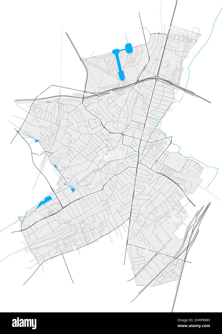 Antony, Hauts-de-Seine, France high resolution vector map with city boundaries and editable paths. White outlines for main roads. Many detailed paths. Stock Vectorhttps://www.alamy.com/image-license-details/?v=1https://www.alamy.com/antony-hauts-de-seine-france-high-resolution-vector-map-with-city-boundaries-and-editable-paths-white-outlines-for-main-roads-many-detailed-paths-image458421491.html
RF2HHPW83–Antony, Hauts-de-Seine, France high resolution vector map with city boundaries and editable paths. White outlines for main roads. Many detailed paths.
 Geographic map of European country France with Paris capital city Stock Photohttps://www.alamy.com/image-license-details/?v=1https://www.alamy.com/geographic-map-of-european-country-france-with-paris-capital-city-image366825918.html
RF2C8PA5J–Geographic map of European country France with Paris capital city
 The story of the greatest nations, from the dawn of history to the twentieth century : a comprehensive history, founded upon the leading authorities, including a complete chronology of the world, and a pronouncing vocabulary of each nation . mmmmmmmmmmfmmm LIST OF ILLUSTRATIONS-VOLUME III. FULL-PAGE ILLUSTRATIONS. TO FACE PAGE Uprising of the Tyrolese in 1809, ...... Frontispiece Herodotus Reading History, ........ Title-page Map—The German and Austrian Empires, ....... viii The Triumph of Caesar, ........... 386 Antony Offering to Crown Caesar, ......... 388 The Murder of Caesar, ........... Stock Photohttps://www.alamy.com/image-license-details/?v=1https://www.alamy.com/the-story-of-the-greatest-nations-from-the-dawn-of-history-to-the-twentieth-century-a-comprehensive-history-founded-upon-the-leading-authorities-including-a-complete-chronology-of-the-world-and-a-pronouncing-vocabulary-of-each-nation-mmmmmmmmmmfmmm-list-of-illustrations-volume-iii-full-page-illustrations-to-face-page-uprising-of-the-tyrolese-in-1809-frontispiece-herodotus-reading-history-title-page-mapthe-german-and-austrian-empires-viii-the-triumph-of-caesar-386-antony-offering-to-crown-caesar-388-the-murder-of-caesar-image342943017.html
RM2AWXB8W–The story of the greatest nations, from the dawn of history to the twentieth century : a comprehensive history, founded upon the leading authorities, including a complete chronology of the world, and a pronouncing vocabulary of each nation . mmmmmmmmmmfmmm LIST OF ILLUSTRATIONS-VOLUME III. FULL-PAGE ILLUSTRATIONS. TO FACE PAGE Uprising of the Tyrolese in 1809, ...... Frontispiece Herodotus Reading History, ........ Title-page Map—The German and Austrian Empires, ....... viii The Triumph of Caesar, ........... 386 Antony Offering to Crown Caesar, ......... 388 The Murder of Caesar, ...........
 Antony, Cornwall, GB, United Kingdom, England, N 50 22' 11'', S 4 14' 25'', map, Cartascapes Map published in 2024. Explore Cartascapes, a map revealing Earth's diverse landscapes, cultures, and ecosystems. Journey through time and space, discovering the interconnectedness of our planet's past, present, and future. Stock Photohttps://www.alamy.com/image-license-details/?v=1https://www.alamy.com/antony-cornwall-gb-united-kingdom-england-n-50-22-11-s-4-14-25-map-cartascapes-map-published-in-2024-explore-cartascapes-a-map-revealing-earths-diverse-landscapes-cultures-and-ecosystems-journey-through-time-and-space-discovering-the-interconnectedness-of-our-planets-past-present-and-future-image604248425.html
RM2X31W0W–Antony, Cornwall, GB, United Kingdom, England, N 50 22' 11'', S 4 14' 25'', map, Cartascapes Map published in 2024. Explore Cartascapes, a map revealing Earth's diverse landscapes, cultures, and ecosystems. Journey through time and space, discovering the interconnectedness of our planet's past, present, and future.
 Crosby Coastal Park, Merseyside. UK Weather. Warm sunshine in Liverpool Mariners Way, part of the extensive sands joining Merseyside and the Sefton Coast. The Sefton Coastal Path runs 22 miles all up the coast from Crosby Beach northwards with fine views of the Mersey estuary and is now famous for artist Antony Gormley's sculpture Another Place. Credit; MediaWorldImages/AlamyLiveNews Stock Photohttps://www.alamy.com/image-license-details/?v=1https://www.alamy.com/stock-photo-crosby-coastal-park-merseyside-uk-weather-warm-sunshine-in-liverpool-139651790.html
RMJ35K7X–Crosby Coastal Park, Merseyside. UK Weather. Warm sunshine in Liverpool Mariners Way, part of the extensive sands joining Merseyside and the Sefton Coast. The Sefton Coastal Path runs 22 miles all up the coast from Crosby Beach northwards with fine views of the Mersey estuary and is now famous for artist Antony Gormley's sculpture Another Place. Credit; MediaWorldImages/AlamyLiveNews
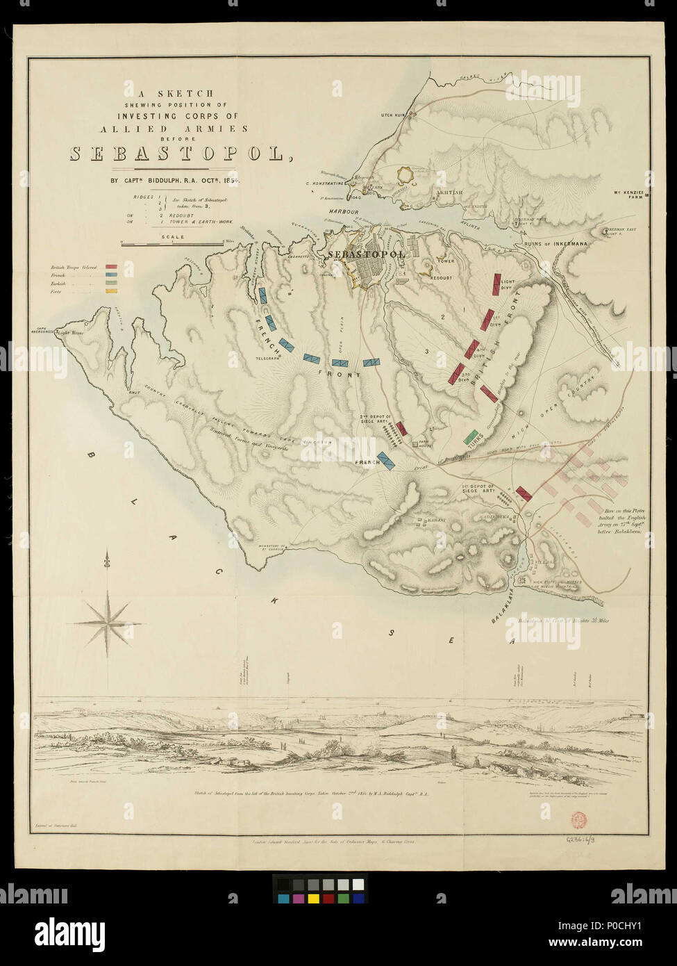 . English: A sketch shewing position of investing corps of allied armies before Sebastopol by Captn Biddulph RA Octr. 1854Scale: circa 1:43,000 (bar). Ungraduated, coloured map on linen backed paper. One view. Compass rose. Map of Sebastopol by Stannard and Dixon 1854 . 1854. Captain Michael Antony Shrapnel Biddulph; Edward Stanford 206 A sketch shewing position of investing corps of allied armies before Sebastopol by Captn Biddulph RA Octr. 1854 RMG F4659 Stock Photohttps://www.alamy.com/image-license-details/?v=1https://www.alamy.com/english-a-sketch-shewing-position-of-investing-corps-of-allied-armies-before-sebastopol-by-captn-biddulph-ra-octr-1854scale-circa-143000-bar-ungraduated-coloured-map-on-linen-backed-paper-one-view-compass-rose-map-of-sebastopol-by-stannard-and-dixon-1854-1854-captain-michael-antony-shrapnel-biddulph-edward-stanford-206-a-sketch-shewing-position-of-investing-corps-of-allied-armies-before-sebastopol-by-captn-biddulph-ra-octr-1854-rmg-f4659-image206801925.html
RMP0CHY1–. English: A sketch shewing position of investing corps of allied armies before Sebastopol by Captn Biddulph RA Octr. 1854Scale: circa 1:43,000 (bar). Ungraduated, coloured map on linen backed paper. One view. Compass rose. Map of Sebastopol by Stannard and Dixon 1854 . 1854. Captain Michael Antony Shrapnel Biddulph; Edward Stanford 206 A sketch shewing position of investing corps of allied armies before Sebastopol by Captn Biddulph RA Octr. 1854 RMG F4659
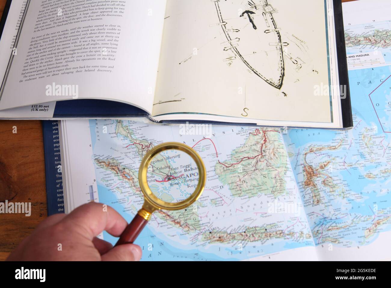 Looking at location of Geldermalsen shipwreck The Nanking Cargo in atlas of South China Sea, book by Michael Hatcher, Max De Rham Antony Thorncroft Stock Photohttps://www.alamy.com/image-license-details/?v=1https://www.alamy.com/looking-at-location-of-geldermalsen-shipwreck-the-nanking-cargo-in-atlas-of-south-china-sea-book-by-michael-hatcher-max-de-rham-antony-thorncroft-image433760922.html
RM2G5KEDE–Looking at location of Geldermalsen shipwreck The Nanking Cargo in atlas of South China Sea, book by Michael Hatcher, Max De Rham Antony Thorncroft
 Two Roundels with St. Sebastian (probably) and St. Antony, and with St. Catherine and St. Barbara, 2 of 2, Cologne, late 1400s, stained glass - Museum Schnütgen - Cologne, Germany - DSC09836 Stock Photohttps://www.alamy.com/image-license-details/?v=1https://www.alamy.com/stock-photo-two-roundels-with-st-sebastian-probably-and-st-antony-and-with-st-147691220.html
RMJG7WJC–Two Roundels with St. Sebastian (probably) and St. Antony, and with St. Catherine and St. Barbara, 2 of 2, Cologne, late 1400s, stained glass - Museum Schnütgen - Cologne, Germany - DSC09836
 Jerusalem, Israel. 22nd Oct, 2024. U.S Secretary of State Antony Blinken, left, with Israeli Prime Minister Benjamin Netanyahu, right, before their bilateral meeting to discuss the widening war against Hamas and Hezbollah, October 22, 2024 in Jerusalem, Israel. Credit: US Embassy Jerusalem/U.S State Department/Alamy Live News Stock Photohttps://www.alamy.com/image-license-details/?v=1https://www.alamy.com/jerusalem-israel-22nd-oct-2024-us-secretary-of-state-antony-blinken-left-with-israeli-prime-minister-benjamin-netanyahu-right-before-their-bilateral-meeting-to-discuss-the-widening-war-against-hamas-and-hezbollah-october-22-2024-in-jerusalem-israel-credit-us-embassy-jerusalemus-state-departmentalamy-live-news-image627543235.html
RM2YCY1PB–Jerusalem, Israel. 22nd Oct, 2024. U.S Secretary of State Antony Blinken, left, with Israeli Prime Minister Benjamin Netanyahu, right, before their bilateral meeting to discuss the widening war against Hamas and Hezbollah, October 22, 2024 in Jerusalem, Israel. Credit: US Embassy Jerusalem/U.S State Department/Alamy Live News
 Antony and feodosy Stock Photohttps://www.alamy.com/image-license-details/?v=1https://www.alamy.com/stock-photo-antony-and-feodosy-139501150.html
RMJ2XR3X–Antony and feodosy
 New York (N.Y.). Department of Parks. Topographical Division. Cartographic, Maps. 1873. Lionel Pincus and Princess Firyal Map Division. Westchester County (N.Y.), New York (N.Y.) Bronx, Topographical Map Sheet 4; Map bounded by Mosholu Ave., Jerome Ave., Bronx River, Richard St., Lorillard Terrace, Tillotson Ave., Railroad Ave., Hull Ave., Perry Ave., Bainbridge Ave., Briggs Ave., Carlin PL.; Including Marion Ave., Antony Ave., Sedgwick Ave., Giles PL., Boston Ave., Heath Ave., Ft. Independence St., Bailey Ave., Albany Road, Van Cortlanat Ave., New York Boston Railroad Stock Photohttps://www.alamy.com/image-license-details/?v=1https://www.alamy.com/new-york-ny-department-of-parks-topographical-division-cartographic-maps-1873-lionel-pincus-and-princess-firyal-map-division-westchester-county-ny-new-york-ny-bronx-topographical-map-sheet-4-map-bounded-by-mosholu-ave-jerome-ave-bronx-river-richard-st-lorillard-terrace-tillotson-ave-railroad-ave-hull-ave-perry-ave-bainbridge-ave-briggs-ave-carlin-pl-including-marion-ave-antony-ave-sedgwick-ave-giles-pl-boston-ave-heath-ave-ft-independence-st-bailey-ave-albany-road-van-cortlanat-ave-new-york-boston-railroad-image483739699.html
RM2K306WR–New York (N.Y.). Department of Parks. Topographical Division. Cartographic, Maps. 1873. Lionel Pincus and Princess Firyal Map Division. Westchester County (N.Y.), New York (N.Y.) Bronx, Topographical Map Sheet 4; Map bounded by Mosholu Ave., Jerome Ave., Bronx River, Richard St., Lorillard Terrace, Tillotson Ave., Railroad Ave., Hull Ave., Perry Ave., Bainbridge Ave., Briggs Ave., Carlin PL.; Including Marion Ave., Antony Ave., Sedgwick Ave., Giles PL., Boston Ave., Heath Ave., Ft. Independence St., Bailey Ave., Albany Road, Van Cortlanat Ave., New York Boston Railroad
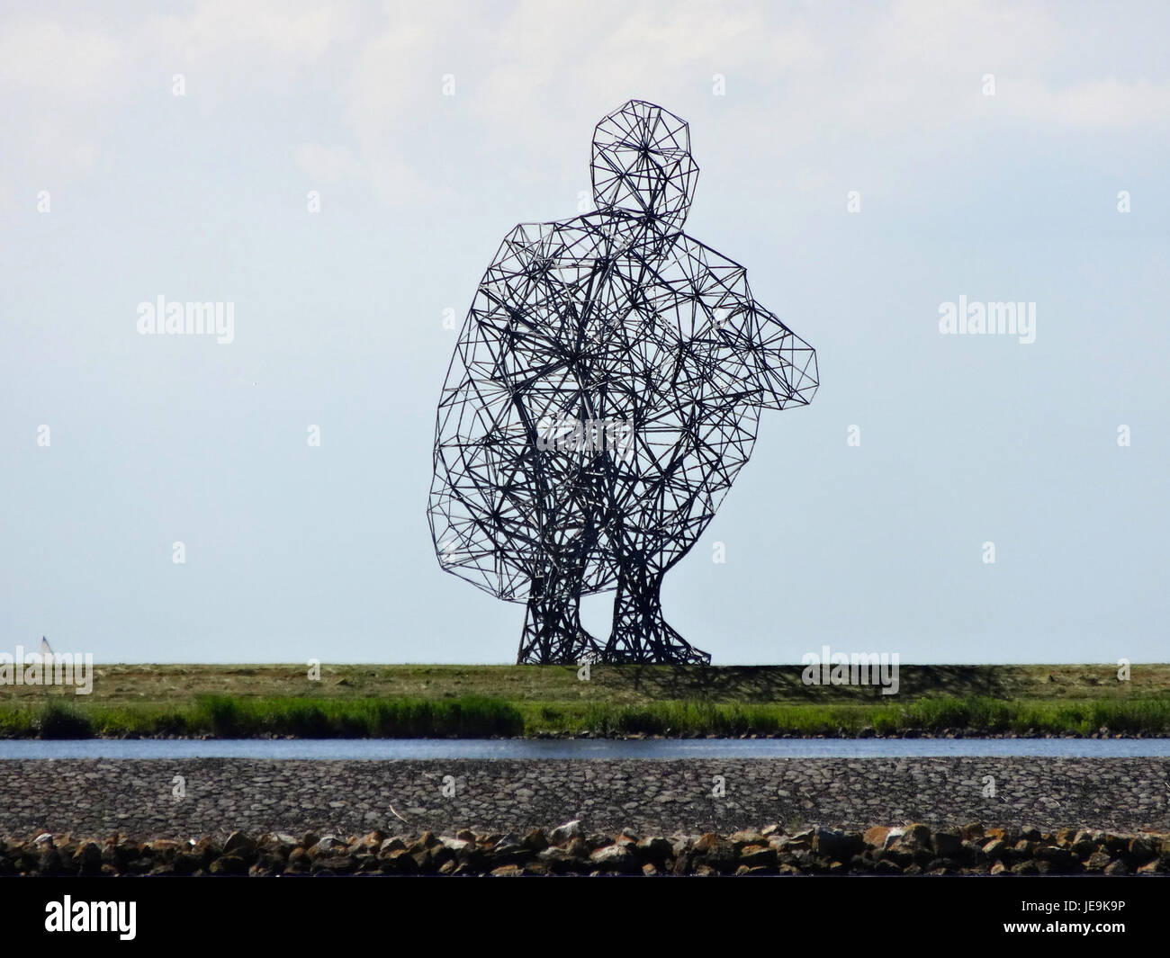 20140612 Exposure1 door Antony Gormley Lelystad Stock Photohttps://www.alamy.com/image-license-details/?v=1https://www.alamy.com/stock-photo-20140612-exposure1-door-antony-gormley-lelystad-146500866.html
RMJE9K9P–20140612 Exposure1 door Antony Gormley Lelystad
 Alden's Oxford guide : with an appendix entitled 'Old Oxford', and a new map . o the old burial .,/oullJMlUHiillftllU4. ground, we gain access to the interior of the Chapel by a small door on the E. side of the North transept, and are at once impressed with the grand proportions of the tower arches. On the wall at our left onentering, we notice an exquisitebas-relief in white marble, byWoolner, in memory of themartyred Bishop Patteson, some-time a Fellow of this college.In the transepts are also monu-ments to Antony a Wood, SirThos. Bod ley (see 6), and Sir H.Saville : and on the floor are nu- Stock Photohttps://www.alamy.com/image-license-details/?v=1https://www.alamy.com/aldens-oxford-guide-with-an-appendix-entitled-old-oxford-and-a-new-map-o-the-old-burial-oulljmluhiillftllu4-ground-we-gain-access-to-the-interior-of-the-chapel-by-a-small-door-on-the-e-side-of-the-north-transept-and-are-at-once-impressed-with-the-grand-proportions-of-the-tower-arches-on-the-wall-at-our-left-onentering-we-notice-an-exquisitebas-relief-in-white-marble-bywoolner-in-memory-of-themartyred-bishop-patteson-some-time-a-fellow-of-this-collegein-the-transepts-are-also-monu-ments-to-antony-a-wood-sirthos-bod-ley-see-6-and-sir-hsaville-and-on-the-floor-are-nu-image342968369.html
RM2AWYFJ9–Alden's Oxford guide : with an appendix entitled 'Old Oxford', and a new map . o the old burial .,/oullJMlUHiillftllU4. ground, we gain access to the interior of the Chapel by a small door on the E. side of the North transept, and are at once impressed with the grand proportions of the tower arches. On the wall at our left onentering, we notice an exquisitebas-relief in white marble, byWoolner, in memory of themartyred Bishop Patteson, some-time a Fellow of this college.In the transepts are also monu-ments to Antony a Wood, SirThos. Bod ley (see 6), and Sir H.Saville : and on the floor are nu-
 Antony, Cornwall, GB, United Kingdom, England, N 50 22' 11'', S 4 14' 25'', map, Cartascapes Map published in 2024. Explore Cartascapes, a map revealing Earth's diverse landscapes, cultures, and ecosystems. Journey through time and space, discovering the interconnectedness of our planet's past, present, and future. Stock Photohttps://www.alamy.com/image-license-details/?v=1https://www.alamy.com/antony-cornwall-gb-united-kingdom-england-n-50-22-11-s-4-14-25-map-cartascapes-map-published-in-2024-explore-cartascapes-a-map-revealing-earths-diverse-landscapes-cultures-and-ecosystems-journey-through-time-and-space-discovering-the-interconnectedness-of-our-planets-past-present-and-future-image604248417.html
RM2X31W0H–Antony, Cornwall, GB, United Kingdom, England, N 50 22' 11'', S 4 14' 25'', map, Cartascapes Map published in 2024. Explore Cartascapes, a map revealing Earth's diverse landscapes, cultures, and ecosystems. Journey through time and space, discovering the interconnectedness of our planet's past, present, and future.
 Pointing at location of Geldermalsen shipwreck The Nanking Cargo in atlas of South China Sea, book by Michael Hatcher, Max De Rham Antony Thorncroft Stock Photohttps://www.alamy.com/image-license-details/?v=1https://www.alamy.com/pointing-at-location-of-geldermalsen-shipwreck-the-nanking-cargo-in-atlas-of-south-china-sea-book-by-michael-hatcher-max-de-rham-antony-thorncroft-image433760925.html
RM2G5KEDH–Pointing at location of Geldermalsen shipwreck The Nanking Cargo in atlas of South China Sea, book by Michael Hatcher, Max De Rham Antony Thorncroft
 Jerusalem, Israel. 22nd Oct, 2024. U.S Secretary of State Antony Blinken, left, with Israeli Prime Minister Benjamin Netanyahu, right, before their bilateral meeting to discuss the widening war against Hamas and Hezbollah, October 22, 2024 in Jerusalem, Israel. Credit: US Embassy Jerusalem/U.S State Department/Alamy Live News Stock Photohttps://www.alamy.com/image-license-details/?v=1https://www.alamy.com/jerusalem-israel-22nd-oct-2024-us-secretary-of-state-antony-blinken-left-with-israeli-prime-minister-benjamin-netanyahu-right-before-their-bilateral-meeting-to-discuss-the-widening-war-against-hamas-and-hezbollah-october-22-2024-in-jerusalem-israel-credit-us-embassy-jerusalemus-state-departmentalamy-live-news-image627543253.html
RM2YCY1R1–Jerusalem, Israel. 22nd Oct, 2024. U.S Secretary of State Antony Blinken, left, with Israeli Prime Minister Benjamin Netanyahu, right, before their bilateral meeting to discuss the widening war against Hamas and Hezbollah, October 22, 2024 in Jerusalem, Israel. Credit: US Embassy Jerusalem/U.S State Department/Alamy Live News
 Antony Dumas Stock Photohttps://www.alamy.com/image-license-details/?v=1https://www.alamy.com/stock-photo-antony-dumas-142476195.html
RMJ7P9RF–Antony Dumas
![Lausanne en Suisse Author Chovin, Jacques Antony 85.59.a. Place of publication: [Lausanne?], Date of publication: [around 1775] Item type: 1 print Medium: etching Dimensions: platemark 30.2 x 64.4 cm Former owner: George III, King of Great Britain, 1738-1820 Stock Photo Lausanne en Suisse Author Chovin, Jacques Antony 85.59.a. Place of publication: [Lausanne?], Date of publication: [around 1775] Item type: 1 print Medium: etching Dimensions: platemark 30.2 x 64.4 cm Former owner: George III, King of Great Britain, 1738-1820 Stock Photo](https://c8.alamy.com/comp/2E9FR7W/lausanne-en-suisse-author-chovin-jacques-antony-8559a-place-of-publication-lausanne-date-of-publication-around-1775-item-type-1-print-medium-etching-dimensions-platemark-302-x-644-cm-former-owner-george-iii-king-of-great-britain-1738-1820-2E9FR7W.jpg) Lausanne en Suisse Author Chovin, Jacques Antony 85.59.a. Place of publication: [Lausanne?], Date of publication: [around 1775] Item type: 1 print Medium: etching Dimensions: platemark 30.2 x 64.4 cm Former owner: George III, King of Great Britain, 1738-1820 Stock Photohttps://www.alamy.com/image-license-details/?v=1https://www.alamy.com/lausanne-en-suisse-author-chovin-jacques-antony-8559a-place-of-publication-lausanne-date-of-publication-around-1775-item-type-1-print-medium-etching-dimensions-platemark-302-x-644-cm-former-owner-george-iii-king-of-great-britain-1738-1820-image401717901.html
Lausanne en Suisse Author Chovin, Jacques Antony 85.59.a. Place of publication: [Lausanne?], Date of publication: [around 1775] Item type: 1 print Medium: etching Dimensions: platemark 30.2 x 64.4 cm Former owner: George III, King of Great Britain, 1738-1820 Stock Photohttps://www.alamy.com/image-license-details/?v=1https://www.alamy.com/lausanne-en-suisse-author-chovin-jacques-antony-8559a-place-of-publication-lausanne-date-of-publication-around-1775-item-type-1-print-medium-etching-dimensions-platemark-302-x-644-cm-former-owner-george-iii-king-of-great-britain-1738-1820-image401717901.htmlRM2E9FR7W–Lausanne en Suisse Author Chovin, Jacques Antony 85.59.a. Place of publication: [Lausanne?], Date of publication: [around 1775] Item type: 1 print Medium: etching Dimensions: platemark 30.2 x 64.4 cm Former owner: George III, King of Great Britain, 1738-1820
 20140612 Exposure2 door Antony Gormley Lelystad Stock Photohttps://www.alamy.com/image-license-details/?v=1https://www.alamy.com/stock-photo-20140612-exposure2-door-antony-gormley-lelystad-146500867.html
RMJE9K9R–20140612 Exposure2 door Antony Gormley Lelystad
![Alden's Oxford guide : with an appendix entitled 'Old Oxford', and a new map . m^ FRIAR BACONS STUDY. earthwork lines of defence,* of which there are now left only a fewtraces in the shape of green grassy mounds, such as may be seen * The plan of these works on page 117 is a reduced copy of one in Skeltons OxoniaAntiqua, said to be a fac-simile from Antony a Wood. It is reproduced here by kindpermission of the late Gen. Rigaud, from his interesting pamphlet on the Lints RoumlOxford, 1642—1646 (Oxford: W. R. Bowden).— [Ed.] Fortifications. 117 close to the river beyond Holywell Church. The fort Stock Photo Alden's Oxford guide : with an appendix entitled 'Old Oxford', and a new map . m^ FRIAR BACONS STUDY. earthwork lines of defence,* of which there are now left only a fewtraces in the shape of green grassy mounds, such as may be seen * The plan of these works on page 117 is a reduced copy of one in Skeltons OxoniaAntiqua, said to be a fac-simile from Antony a Wood. It is reproduced here by kindpermission of the late Gen. Rigaud, from his interesting pamphlet on the Lints RoumlOxford, 1642—1646 (Oxford: W. R. Bowden).— [Ed.] Fortifications. 117 close to the river beyond Holywell Church. The fort Stock Photo](https://c8.alamy.com/comp/2AWXY5R/aldens-oxford-guide-with-an-appendix-entitled-old-oxford-and-a-new-map-m-friar-bacons-study-earthwork-lines-of-defence-of-which-there-are-now-left-only-a-fewtraces-in-the-shape-of-green-grassy-mounds-such-as-may-be-seen-the-plan-of-these-works-on-page-117-is-a-reduced-copy-of-one-in-skeltons-oxoniaantiqua-said-to-be-a-fac-simile-from-antony-a-wood-it-is-reproduced-here-by-kindpermission-of-the-late-gen-rigaud-from-his-interesting-pamphlet-on-the-lints-roumloxford-16421646-oxford-w-r-bowden-ed-fortifications-117-close-to-the-river-beyond-holywell-church-the-fort-2AWXY5R.jpg) Alden's Oxford guide : with an appendix entitled 'Old Oxford', and a new map . m^ FRIAR BACONS STUDY. earthwork lines of defence,* of which there are now left only a fewtraces in the shape of green grassy mounds, such as may be seen * The plan of these works on page 117 is a reduced copy of one in Skeltons OxoniaAntiqua, said to be a fac-simile from Antony a Wood. It is reproduced here by kindpermission of the late Gen. Rigaud, from his interesting pamphlet on the Lints RoumlOxford, 1642—1646 (Oxford: W. R. Bowden).— [Ed.] Fortifications. 117 close to the river beyond Holywell Church. The fort Stock Photohttps://www.alamy.com/image-license-details/?v=1https://www.alamy.com/aldens-oxford-guide-with-an-appendix-entitled-old-oxford-and-a-new-map-m-friar-bacons-study-earthwork-lines-of-defence-of-which-there-are-now-left-only-a-fewtraces-in-the-shape-of-green-grassy-mounds-such-as-may-be-seen-the-plan-of-these-works-on-page-117-is-a-reduced-copy-of-one-in-skeltons-oxoniaantiqua-said-to-be-a-fac-simile-from-antony-a-wood-it-is-reproduced-here-by-kindpermission-of-the-late-gen-rigaud-from-his-interesting-pamphlet-on-the-lints-roumloxford-16421646-oxford-w-r-bowden-ed-fortifications-117-close-to-the-river-beyond-holywell-church-the-fort-image342955475.html
Alden's Oxford guide : with an appendix entitled 'Old Oxford', and a new map . m^ FRIAR BACONS STUDY. earthwork lines of defence,* of which there are now left only a fewtraces in the shape of green grassy mounds, such as may be seen * The plan of these works on page 117 is a reduced copy of one in Skeltons OxoniaAntiqua, said to be a fac-simile from Antony a Wood. It is reproduced here by kindpermission of the late Gen. Rigaud, from his interesting pamphlet on the Lints RoumlOxford, 1642—1646 (Oxford: W. R. Bowden).— [Ed.] Fortifications. 117 close to the river beyond Holywell Church. The fort Stock Photohttps://www.alamy.com/image-license-details/?v=1https://www.alamy.com/aldens-oxford-guide-with-an-appendix-entitled-old-oxford-and-a-new-map-m-friar-bacons-study-earthwork-lines-of-defence-of-which-there-are-now-left-only-a-fewtraces-in-the-shape-of-green-grassy-mounds-such-as-may-be-seen-the-plan-of-these-works-on-page-117-is-a-reduced-copy-of-one-in-skeltons-oxoniaantiqua-said-to-be-a-fac-simile-from-antony-a-wood-it-is-reproduced-here-by-kindpermission-of-the-late-gen-rigaud-from-his-interesting-pamphlet-on-the-lints-roumloxford-16421646-oxford-w-r-bowden-ed-fortifications-117-close-to-the-river-beyond-holywell-church-the-fort-image342955475.htmlRM2AWXY5R–Alden's Oxford guide : with an appendix entitled 'Old Oxford', and a new map . m^ FRIAR BACONS STUDY. earthwork lines of defence,* of which there are now left only a fewtraces in the shape of green grassy mounds, such as may be seen * The plan of these works on page 117 is a reduced copy of one in Skeltons OxoniaAntiqua, said to be a fac-simile from Antony a Wood. It is reproduced here by kindpermission of the late Gen. Rigaud, from his interesting pamphlet on the Lints RoumlOxford, 1642—1646 (Oxford: W. R. Bowden).— [Ed.] Fortifications. 117 close to the river beyond Holywell Church. The fort
 Antony, Cornwall, GB, United Kingdom, England, N 50 22' 12'', S 4 15' 8'', map, Cartascapes Map published in 2024. Explore Cartascapes, a map revealing Earth's diverse landscapes, cultures, and ecosystems. Journey through time and space, discovering the interconnectedness of our planet's past, present, and future. Stock Photohttps://www.alamy.com/image-license-details/?v=1https://www.alamy.com/antony-cornwall-gb-united-kingdom-england-n-50-22-12-s-4-15-8-map-cartascapes-map-published-in-2024-explore-cartascapes-a-map-revealing-earths-diverse-landscapes-cultures-and-ecosystems-journey-through-time-and-space-discovering-the-interconnectedness-of-our-planets-past-present-and-future-image604185276.html
RM2X2Y0DG–Antony, Cornwall, GB, United Kingdom, England, N 50 22' 12'', S 4 15' 8'', map, Cartascapes Map published in 2024. Explore Cartascapes, a map revealing Earth's diverse landscapes, cultures, and ecosystems. Journey through time and space, discovering the interconnectedness of our planet's past, present, and future.
 Pointing at location of Geldermalsen shipwreck The Nanking Cargo in atlas of South China Sea, book by Michael Hatcher, Max De Rham Antony Thorncroft Stock Photohttps://www.alamy.com/image-license-details/?v=1https://www.alamy.com/pointing-at-location-of-geldermalsen-shipwreck-the-nanking-cargo-in-atlas-of-south-china-sea-book-by-michael-hatcher-max-de-rham-antony-thorncroft-image433760932.html
RM2G5KEDT–Pointing at location of Geldermalsen shipwreck The Nanking Cargo in atlas of South China Sea, book by Michael Hatcher, Max De Rham Antony Thorncroft
 Jerusalem, Israel. 22nd Oct, 2024. U.S Secretary of State Antony Blinken, left, with Israeli Prime Minister Benjamin Netanyahu, right, before their bilateral meeting to discuss the widening war against Hamas and Hezbollah, October 22, 2024 in Jerusalem, Israel. Credit: US Embassy Jerusalem/U.S State Department/Alamy Live News Stock Photohttps://www.alamy.com/image-license-details/?v=1https://www.alamy.com/jerusalem-israel-22nd-oct-2024-us-secretary-of-state-antony-blinken-left-with-israeli-prime-minister-benjamin-netanyahu-right-before-their-bilateral-meeting-to-discuss-the-widening-war-against-hamas-and-hezbollah-october-22-2024-in-jerusalem-israel-credit-us-embassy-jerusalemus-state-departmentalamy-live-news-image627543307.html
RM2YCY1TY–Jerusalem, Israel. 22nd Oct, 2024. U.S Secretary of State Antony Blinken, left, with Israeli Prime Minister Benjamin Netanyahu, right, before their bilateral meeting to discuss the widening war against Hamas and Hezbollah, October 22, 2024 in Jerusalem, Israel. Credit: US Embassy Jerusalem/U.S State Department/Alamy Live News
 Antony Lamotte Stock Photohttps://www.alamy.com/image-license-details/?v=1https://www.alamy.com/stock-photo-antony-lamotte-139496864.html
RMJ2XHJT–Antony Lamotte
 Aegyptus Antiqua. Map of Egypt, with the course of the Nile River. Relief shown pictorially. Includes ill. and decorative cartouche and border. Inset: Alexandria and vicinity. From the author's Theatrum Orbis Terrarum, Additamentum III. Antverpiae, 1584. Cataloging, conservation, and digitization made possible in part by The National Endowment for the Humanities: Exploring the human endeavor. Part of composite portfolio atlas with title 'Collection of old maps.'. The tragedy of Antony and Cleopatra takes place in the ancient empires of Rome and Egypt, the latter of which is depicted on this 15 Stock Photohttps://www.alamy.com/image-license-details/?v=1https://www.alamy.com/aegyptus-antiqua-map-of-egypt-with-the-course-of-the-nile-river-relief-shown-pictorially-includes-ill-and-decorative-cartouche-and-border-inset-alexandria-and-vicinity-from-the-authors-theatrum-orbis-terrarum-additamentum-iii-antverpiae-1584-cataloging-conservation-and-digitization-made-possible-in-part-by-the-national-endowment-for-the-humanities-exploring-the-human-endeavor-part-of-composite-portfolio-atlas-with-title-collection-of-old-maps-the-tragedy-of-antony-and-cleopatra-takes-place-in-the-ancient-empires-of-rome-and-egypt-the-latter-of-which-is-depicted-on-this-15-image502708138.html
RM2M5T9A2–Aegyptus Antiqua. Map of Egypt, with the course of the Nile River. Relief shown pictorially. Includes ill. and decorative cartouche and border. Inset: Alexandria and vicinity. From the author's Theatrum Orbis Terrarum, Additamentum III. Antverpiae, 1584. Cataloging, conservation, and digitization made possible in part by The National Endowment for the Humanities: Exploring the human endeavor. Part of composite portfolio atlas with title 'Collection of old maps.'. The tragedy of Antony and Cleopatra takes place in the ancient empires of Rome and Egypt, the latter of which is depicted on this 15
 HOWARD(1828-33) Shakspeare, Antony and Cleopatra, vol4, p207 Stock Photohttps://www.alamy.com/image-license-details/?v=1https://www.alamy.com/stock-photo-howard1828-33-shakspeare-antony-and-cleopatra-vol4-p207-74008787.html
RME8BAXY–HOWARD(1828-33) Shakspeare, Antony and Cleopatra, vol4, p207
 A history of Rome for junior classes : with a map of Italy and ample chronological table . Battle of, 78. Thessaly, 78. Thurii, 57. Tiberius, 131, 134, 136. Ticinus, Battle of, 72. Ti£:rane8,110. Titles, 15. Titus, 25, Titus (Son of Vespasian) 138, 143,14& Titus Larcius, 32. Titus, Tatius, 14. Trajan, 148, 150. Trasimenus Lake, Battle of, 72. Trebia, Battle there, 72. Triumviri Rei Constituendae, title of Antony, Octavianus, and Lepidus, 123.Tullia, 23. Tullus HostUius, 17, 18.Tuscans, 10. Umbrians, 10, 64. INDEX. 171 Valerius, 40. Valerius, 129, Valerius Corvus, 47. Varro Terentius, 73. Varus Stock Photohttps://www.alamy.com/image-license-details/?v=1https://www.alamy.com/a-history-of-rome-for-junior-classes-with-a-map-of-italy-and-ample-chronological-table-battle-of-78-thessaly-78-thurii-57-tiberius-131-134-136-ticinus-battle-of-72-tirane8110-titles-15-titus-25-titus-son-of-vespasian-138-14314-titus-larcius-32-titus-tatius-14-trajan-148-150-trasimenus-lake-battle-of-72-trebia-battle-there-72-triumviri-rei-constituendae-title-of-antony-octavianus-and-lepidus-123tullia-23-tullus-hostuius-17-18tuscans-10-umbrians-10-64-index-171-valerius-40-valerius-129-valerius-corvus-47-varro-terentius-73-varus-image338436199.html
RM2AJH2R3–A history of Rome for junior classes : with a map of Italy and ample chronological table . Battle of, 78. Thessaly, 78. Thurii, 57. Tiberius, 131, 134, 136. Ticinus, Battle of, 72. Ti£:rane8,110. Titles, 15. Titus, 25, Titus (Son of Vespasian) 138, 143,14& Titus Larcius, 32. Titus, Tatius, 14. Trajan, 148, 150. Trasimenus Lake, Battle of, 72. Trebia, Battle there, 72. Triumviri Rei Constituendae, title of Antony, Octavianus, and Lepidus, 123.Tullia, 23. Tullus HostUius, 17, 18.Tuscans, 10. Umbrians, 10, 64. INDEX. 171 Valerius, 40. Valerius, 129, Valerius Corvus, 47. Varro Terentius, 73. Varus
 Antony, Cornwall, GB, United Kingdom, England, N 50 22' 12'', S 4 15' 8'', map, Cartascapes Map published in 2024. Explore Cartascapes, a map revealing Earth's diverse landscapes, cultures, and ecosystems. Journey through time and space, discovering the interconnectedness of our planet's past, present, and future. Stock Photohttps://www.alamy.com/image-license-details/?v=1https://www.alamy.com/antony-cornwall-gb-united-kingdom-england-n-50-22-12-s-4-15-8-map-cartascapes-map-published-in-2024-explore-cartascapes-a-map-revealing-earths-diverse-landscapes-cultures-and-ecosystems-journey-through-time-and-space-discovering-the-interconnectedness-of-our-planets-past-present-and-future-image604185277.html
RM2X2Y0DH–Antony, Cornwall, GB, United Kingdom, England, N 50 22' 12'', S 4 15' 8'', map, Cartascapes Map published in 2024. Explore Cartascapes, a map revealing Earth's diverse landscapes, cultures, and ecosystems. Journey through time and space, discovering the interconnectedness of our planet's past, present, and future.
 The Nanking Cargo (Geldermalsen shipwreck) hardback book 1987 on map of South China Sea by Michael Hatcher, Max De Rham and Antony Thorncroft Stock Photohttps://www.alamy.com/image-license-details/?v=1https://www.alamy.com/the-nanking-cargo-geldermalsen-shipwreck-hardback-book-1987-on-map-of-south-china-sea-by-michael-hatcher-max-de-rham-and-antony-thorncroft-image433760875.html
RM2G5KEBR–The Nanking Cargo (Geldermalsen shipwreck) hardback book 1987 on map of South China Sea by Michael Hatcher, Max De Rham and Antony Thorncroft
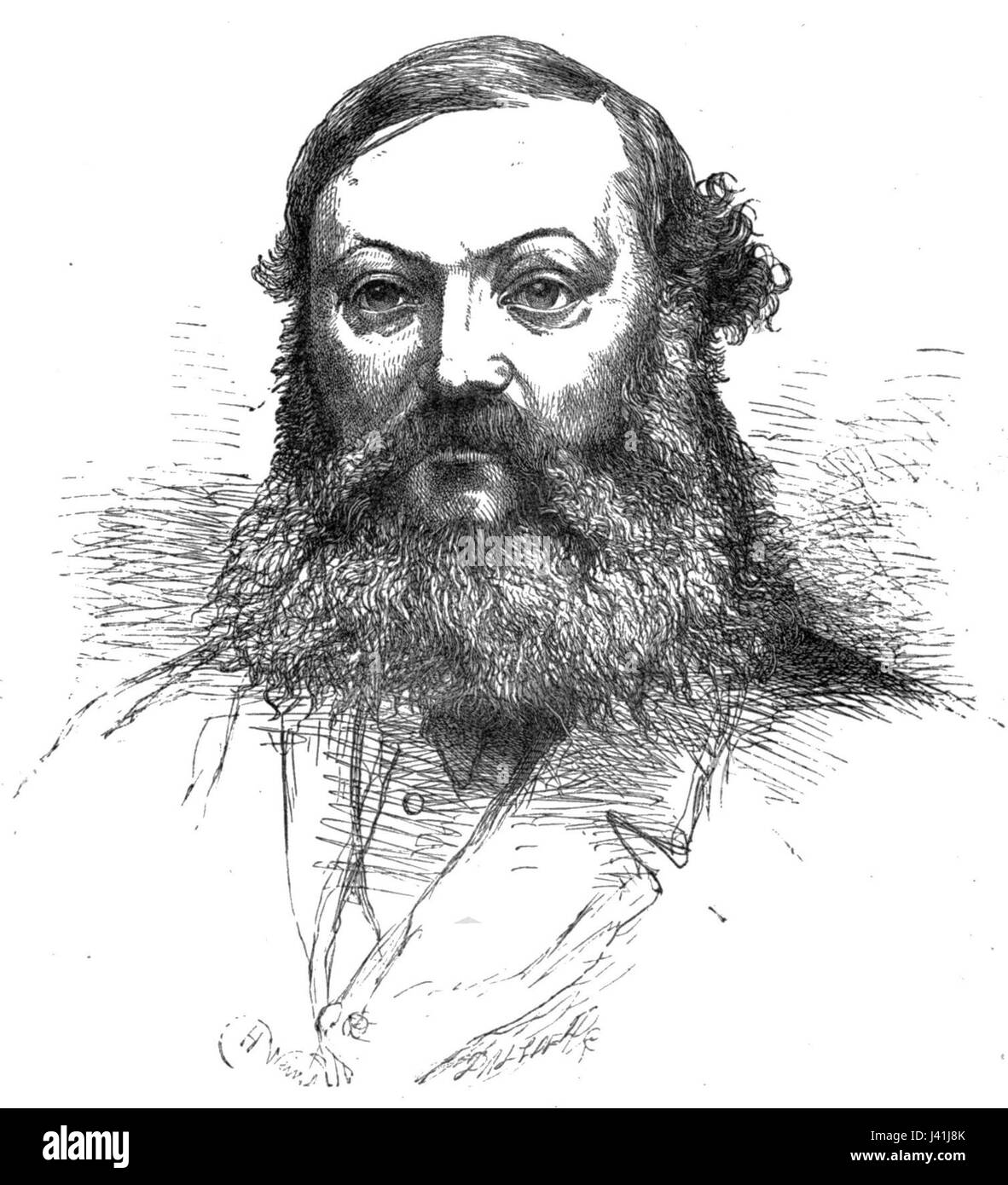 Mark Antony Lower Stock Photohttps://www.alamy.com/image-license-details/?v=1https://www.alamy.com/stock-photo-mark-antony-lower-140177875.html
RMJ41J8K–Mark Antony Lower
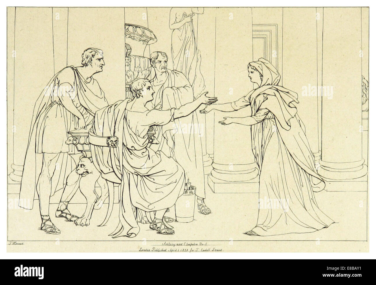 HOWARD(1828-33) Shakspeare, Antony and Cleopatra, vol4, p211 Stock Photohttps://www.alamy.com/image-license-details/?v=1https://www.alamy.com/stock-photo-howard1828-33-shakspeare-antony-and-cleopatra-vol4-p211-74008789.html
RME8BAY1–HOWARD(1828-33) Shakspeare, Antony and Cleopatra, vol4, p211
 Antony Hotel, Provincia di Venezia, IT, Italy, Veneto, N 45 29' 18'', N 12 18' 2'', map, Cartascapes Map published in 2024. Explore Cartascapes, a map revealing Earth's diverse landscapes, cultures, and ecosystems. Journey through time and space, discovering the interconnectedness of our planet's past, present, and future. Stock Photohttps://www.alamy.com/image-license-details/?v=1https://www.alamy.com/antony-hotel-provincia-di-venezia-it-italy-veneto-n-45-29-18-n-12-18-2-map-cartascapes-map-published-in-2024-explore-cartascapes-a-map-revealing-earths-diverse-landscapes-cultures-and-ecosystems-journey-through-time-and-space-discovering-the-interconnectedness-of-our-planets-past-present-and-future-image614694802.html
RM2XM1NDP–Antony Hotel, Provincia di Venezia, IT, Italy, Veneto, N 45 29' 18'', N 12 18' 2'', map, Cartascapes Map published in 2024. Explore Cartascapes, a map revealing Earth's diverse landscapes, cultures, and ecosystems. Journey through time and space, discovering the interconnectedness of our planet's past, present, and future.
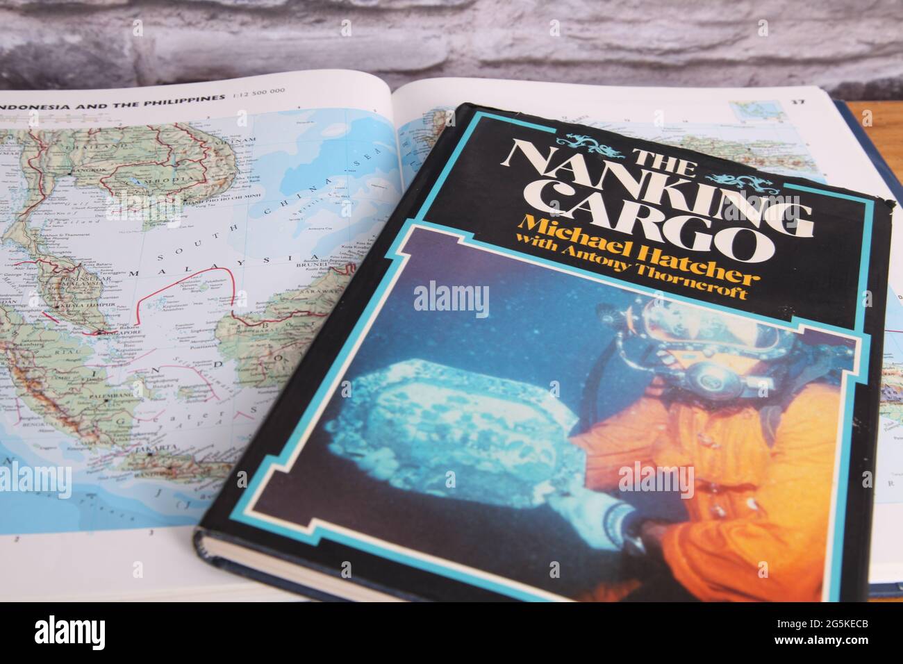 The Nanking Cargo (Geldermalsen shipwreck) hardback book 1987 on map of South China Sea by Michael Hatcher, Max De Rham and Antony Thorncroft Stock Photohttps://www.alamy.com/image-license-details/?v=1https://www.alamy.com/the-nanking-cargo-geldermalsen-shipwreck-hardback-book-1987-on-map-of-south-china-sea-by-michael-hatcher-max-de-rham-and-antony-thorncroft-image433760891.html
RM2G5KECB–The Nanking Cargo (Geldermalsen shipwreck) hardback book 1987 on map of South China Sea by Michael Hatcher, Max De Rham and Antony Thorncroft
 Antony Ratier 1913 Stock Photohttps://www.alamy.com/image-license-details/?v=1https://www.alamy.com/stock-photo-antony-ratier-1913-139554611.html
RMJ31797–Antony Ratier 1913
 HOWARD(1828-33) Shakspeare, Antony and Cleopatra, vol4, p215 Stock Photohttps://www.alamy.com/image-license-details/?v=1https://www.alamy.com/stock-photo-howard1828-33-shakspeare-antony-and-cleopatra-vol4-p215-74008791.html
RME8BAY3–HOWARD(1828-33) Shakspeare, Antony and Cleopatra, vol4, p215
 Antony Creek, , NZ, New Zealand, West Coast, S 43 7' 41'', N 170 47' 24'', map, Cartascapes Map published in 2024. Explore Cartascapes, a map revealing Earth's diverse landscapes, cultures, and ecosystems. Journey through time and space, discovering the interconnectedness of our planet's past, present, and future. Stock Photohttps://www.alamy.com/image-license-details/?v=1https://www.alamy.com/antony-creek-nz-new-zealand-west-coast-s-43-7-41-n-170-47-24-map-cartascapes-map-published-in-2024-explore-cartascapes-a-map-revealing-earths-diverse-landscapes-cultures-and-ecosystems-journey-through-time-and-space-discovering-the-interconnectedness-of-our-planets-past-present-and-future-image634082341.html
RM2YRGXDW–Antony Creek, , NZ, New Zealand, West Coast, S 43 7' 41'', N 170 47' 24'', map, Cartascapes Map published in 2024. Explore Cartascapes, a map revealing Earth's diverse landscapes, cultures, and ecosystems. Journey through time and space, discovering the interconnectedness of our planet's past, present, and future.
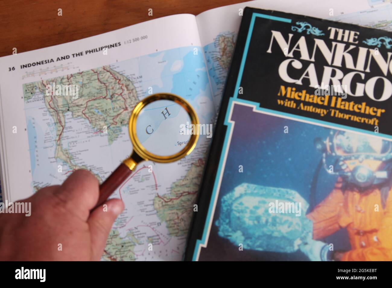 The Nanking Cargo (Geldermalsen shipwreck) hardback book 1987 on map of South China Sea by Michael Hatcher, Max De Rham and Antony Thorncroft Stock Photohttps://www.alamy.com/image-license-details/?v=1https://www.alamy.com/the-nanking-cargo-geldermalsen-shipwreck-hardback-book-1987-on-map-of-south-china-sea-by-michael-hatcher-max-de-rham-and-antony-thorncroft-image433760876.html
RM2G5KEBT–The Nanking Cargo (Geldermalsen shipwreck) hardback book 1987 on map of South China Sea by Michael Hatcher, Max De Rham and Antony Thorncroft
 Mark Antony Vatican Stock Photohttps://www.alamy.com/image-license-details/?v=1https://www.alamy.com/stock-photo-mark-antony-vatican-140199569.html
RMJ42HYD–Mark Antony Vatican
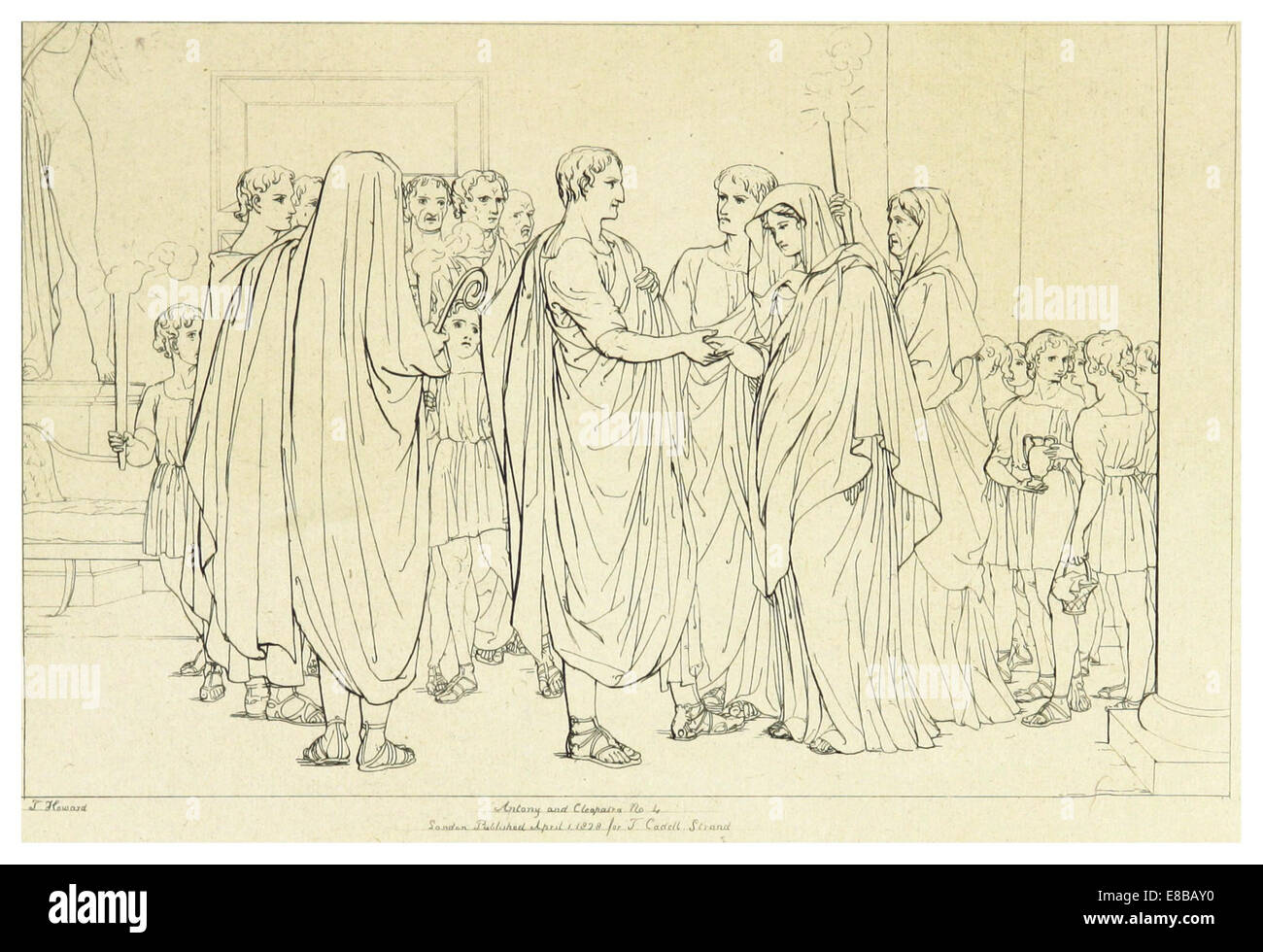 HOWARD(1828-33) Shakspeare, Antony and Cleopatra, vol4, p209 Stock Photohttps://www.alamy.com/image-license-details/?v=1https://www.alamy.com/stock-photo-howard1828-33-shakspeare-antony-and-cleopatra-vol4-p209-74008788.html
RME8BAY0–HOWARD(1828-33) Shakspeare, Antony and Cleopatra, vol4, p209
 Hotel Antony Palace, Provincia di Venezia, IT, Italy, Veneto, N 45 33' 1'', N 12 18' 35'', map, Cartascapes Map published in 2024. Explore Cartascapes, a map revealing Earth's diverse landscapes, cultures, and ecosystems. Journey through time and space, discovering the interconnectedness of our planet's past, present, and future. Stock Photohttps://www.alamy.com/image-license-details/?v=1https://www.alamy.com/hotel-antony-palace-provincia-di-venezia-it-italy-veneto-n-45-33-1-n-12-18-35-map-cartascapes-map-published-in-2024-explore-cartascapes-a-map-revealing-earths-diverse-landscapes-cultures-and-ecosystems-journey-through-time-and-space-discovering-the-interconnectedness-of-our-planets-past-present-and-future-image614704042.html
RM2XM257P–Hotel Antony Palace, Provincia di Venezia, IT, Italy, Veneto, N 45 33' 1'', N 12 18' 35'', map, Cartascapes Map published in 2024. Explore Cartascapes, a map revealing Earth's diverse landscapes, cultures, and ecosystems. Journey through time and space, discovering the interconnectedness of our planet's past, present, and future.
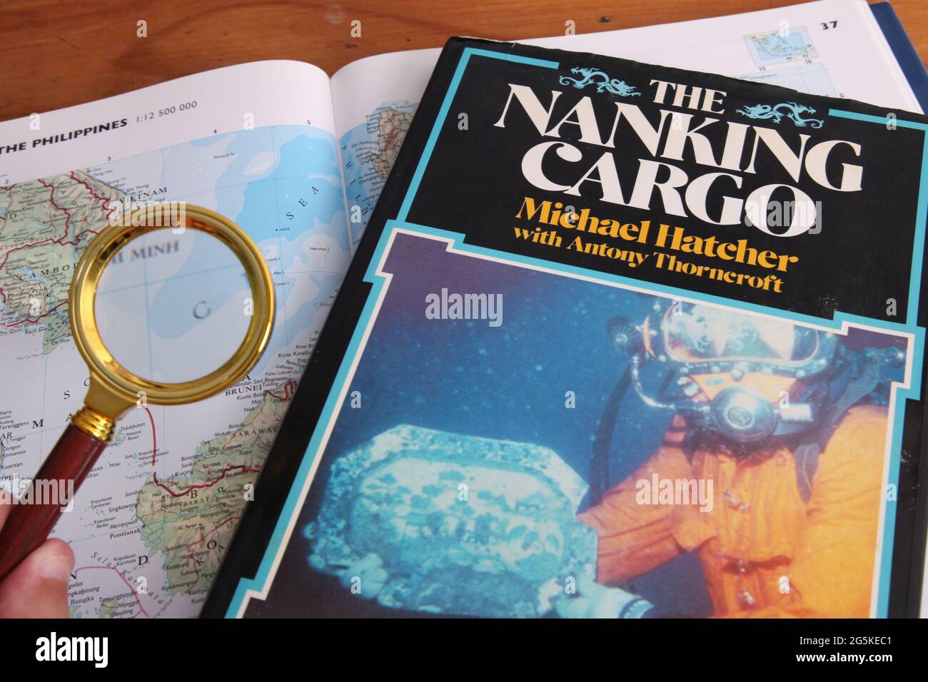 The Nanking Cargo (Geldermalsen shipwreck) hardback book 1987 on map of South China Sea by Michael Hatcher, Max De Rham and Antony Thorncroft Stock Photohttps://www.alamy.com/image-license-details/?v=1https://www.alamy.com/the-nanking-cargo-geldermalsen-shipwreck-hardback-book-1987-on-map-of-south-china-sea-by-michael-hatcher-max-de-rham-and-antony-thorncroft-image433760881.html
RM2G5KEC1–The Nanking Cargo (Geldermalsen shipwreck) hardback book 1987 on map of South China Sea by Michael Hatcher, Max De Rham and Antony Thorncroft
 Antony Pogorelsky by Brullov Stock Photohttps://www.alamy.com/image-license-details/?v=1https://www.alamy.com/stock-photo-antony-pogorelsky-by-brullov-142521467.html
RMJ7TBGB–Antony Pogorelsky by Brullov
 AREND(13) p105 ANTONY BRUN, GEZANT VAN SPANJE Stock Photohttps://www.alamy.com/image-license-details/?v=1https://www.alamy.com/stock-photo-arend13-p105-antony-brun-gezant-van-spanje-74005245.html
RME8B6CD–AREND(13) p105 ANTONY BRUN, GEZANT VAN SPANJE
 Antony Estate, Cornwall, GB, United Kingdom, England, N 50 23' 6'', S 4 13' 37'', map, Cartascapes Map published in 2024. Explore Cartascapes, a map revealing Earth's diverse landscapes, cultures, and ecosystems. Journey through time and space, discovering the interconnectedness of our planet's past, present, and future. Stock Photohttps://www.alamy.com/image-license-details/?v=1https://www.alamy.com/antony-estate-cornwall-gb-united-kingdom-england-n-50-23-6-s-4-13-37-map-cartascapes-map-published-in-2024-explore-cartascapes-a-map-revealing-earths-diverse-landscapes-cultures-and-ecosystems-journey-through-time-and-space-discovering-the-interconnectedness-of-our-planets-past-present-and-future-image604088386.html
RM2X2PGW6–Antony Estate, Cornwall, GB, United Kingdom, England, N 50 23' 6'', S 4 13' 37'', map, Cartascapes Map published in 2024. Explore Cartascapes, a map revealing Earth's diverse landscapes, cultures, and ecosystems. Journey through time and space, discovering the interconnectedness of our planet's past, present, and future.
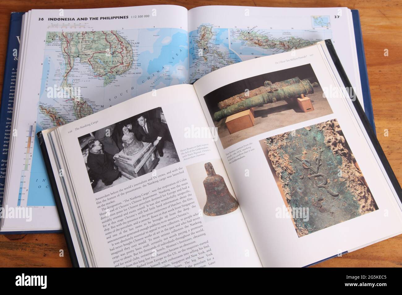 The Nanking Cargo hardback book 1987, by Michael Hatcher, Max De Rham, and Antony Thorncroft Stock Photohttps://www.alamy.com/image-license-details/?v=1https://www.alamy.com/the-nanking-cargo-hardback-book-1987-by-michael-hatcher-max-de-rham-and-antony-thorncroft-image433760885.html
RM2G5KEC5–The Nanking Cargo hardback book 1987, by Michael Hatcher, Max De Rham, and Antony Thorncroft
 Antony Tomishko portrait 1900s Stock Photohttps://www.alamy.com/image-license-details/?v=1https://www.alamy.com/stock-photo-antony-tomishko-portrait-1900s-139553419.html
RMJ315PK–Antony Tomishko portrait 1900s
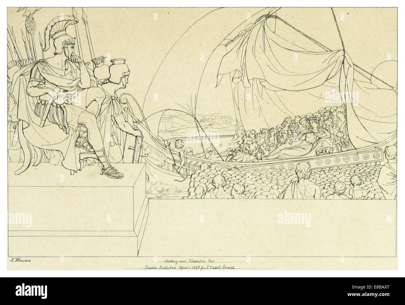 HOWARD(1828-33) Shakspeare, Antony and Cleopatra, vol4, p203 Stock Photohttps://www.alamy.com/image-license-details/?v=1https://www.alamy.com/stock-photo-howard1828-33-shakspeare-antony-and-cleopatra-vol4-p203-74008784.html
RME8BAXT–HOWARD(1828-33) Shakspeare, Antony and Cleopatra, vol4, p203
 Antony, Cornwall, United Kingdom, England, N 50 22' 12'', W 4 15' 8'', map, Timeless Map published in 2021. Travelers, explorers and adventurers like Florence Nightingale, David Livingstone, Ernest Shackleton, Lewis and Clark and Sherlock Holmes relied on maps to plan travels to the world's most remote corners, Timeless Maps is mapping most locations on the globe, showing the achievement of great dreams Stock Photohttps://www.alamy.com/image-license-details/?v=1https://www.alamy.com/antony-cornwall-united-kingdom-england-n-50-22-12-w-4-15-8-map-timeless-map-published-in-2021-travelers-explorers-and-adventurers-like-florence-nightingale-david-livingstone-ernest-shackleton-lewis-and-clark-and-sherlock-holmes-relied-on-maps-to-plan-travels-to-the-worlds-most-remote-corners-timeless-maps-is-mapping-most-locations-on-the-globe-showing-the-achievement-of-great-dreams-image439404045.html
RM2GETG9H–Antony, Cornwall, United Kingdom, England, N 50 22' 12'', W 4 15' 8'', map, Timeless Map published in 2021. Travelers, explorers and adventurers like Florence Nightingale, David Livingstone, Ernest Shackleton, Lewis and Clark and Sherlock Holmes relied on maps to plan travels to the world's most remote corners, Timeless Maps is mapping most locations on the globe, showing the achievement of great dreams
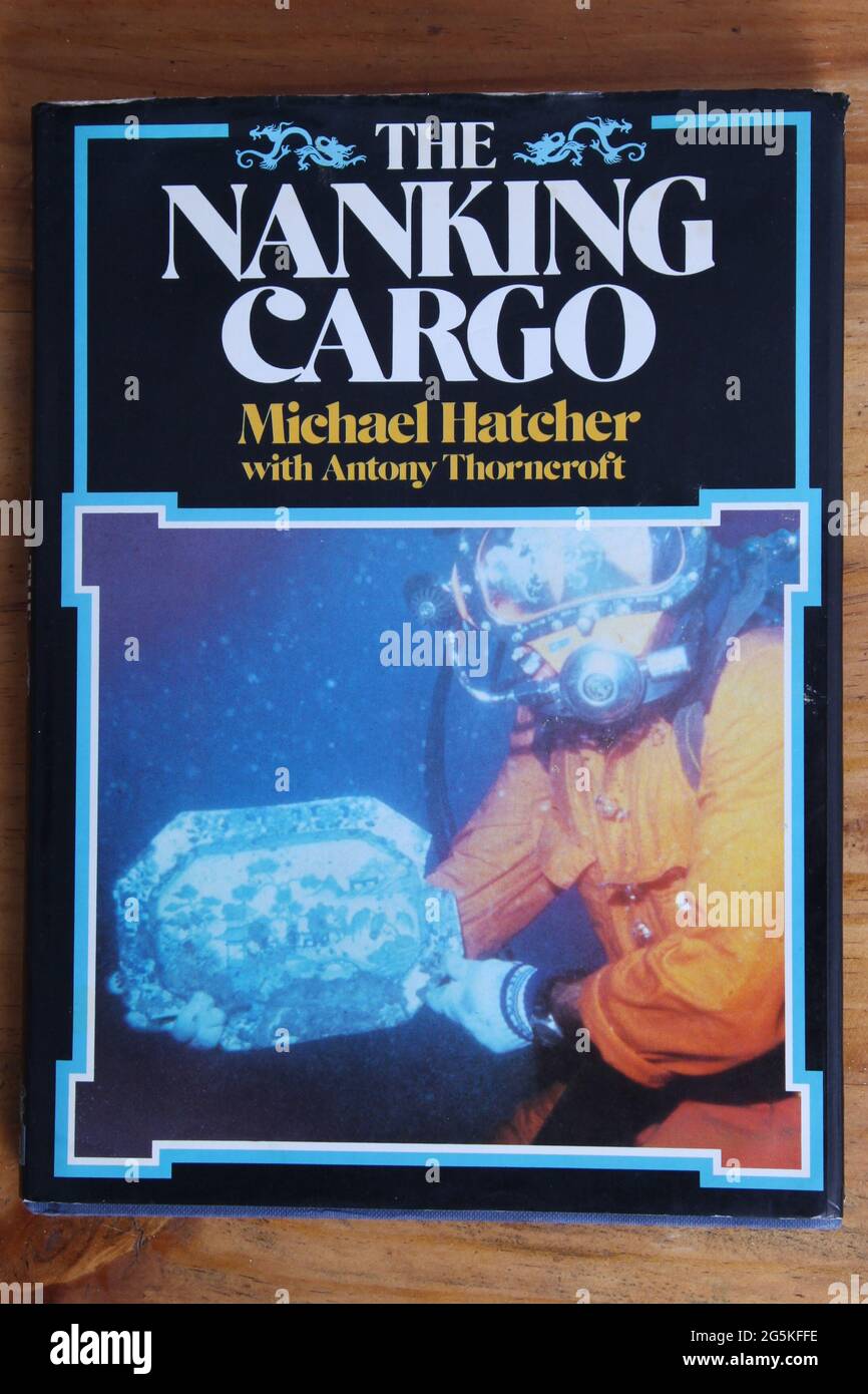 The Nanking Cargo (Geldermalsen shipwreck) hardback book 1987 by Michael Hatcher, Max De Rham and Antony Thorncroft Stock Photohttps://www.alamy.com/image-license-details/?v=1https://www.alamy.com/the-nanking-cargo-geldermalsen-shipwreck-hardback-book-1987-by-michael-hatcher-max-de-rham-and-antony-thorncroft-image433761762.html
RM2G5KFFE–The Nanking Cargo (Geldermalsen shipwreck) hardback book 1987 by Michael Hatcher, Max De Rham and Antony Thorncroft
