Quick filters:
Artesia map Stock Photos and Images
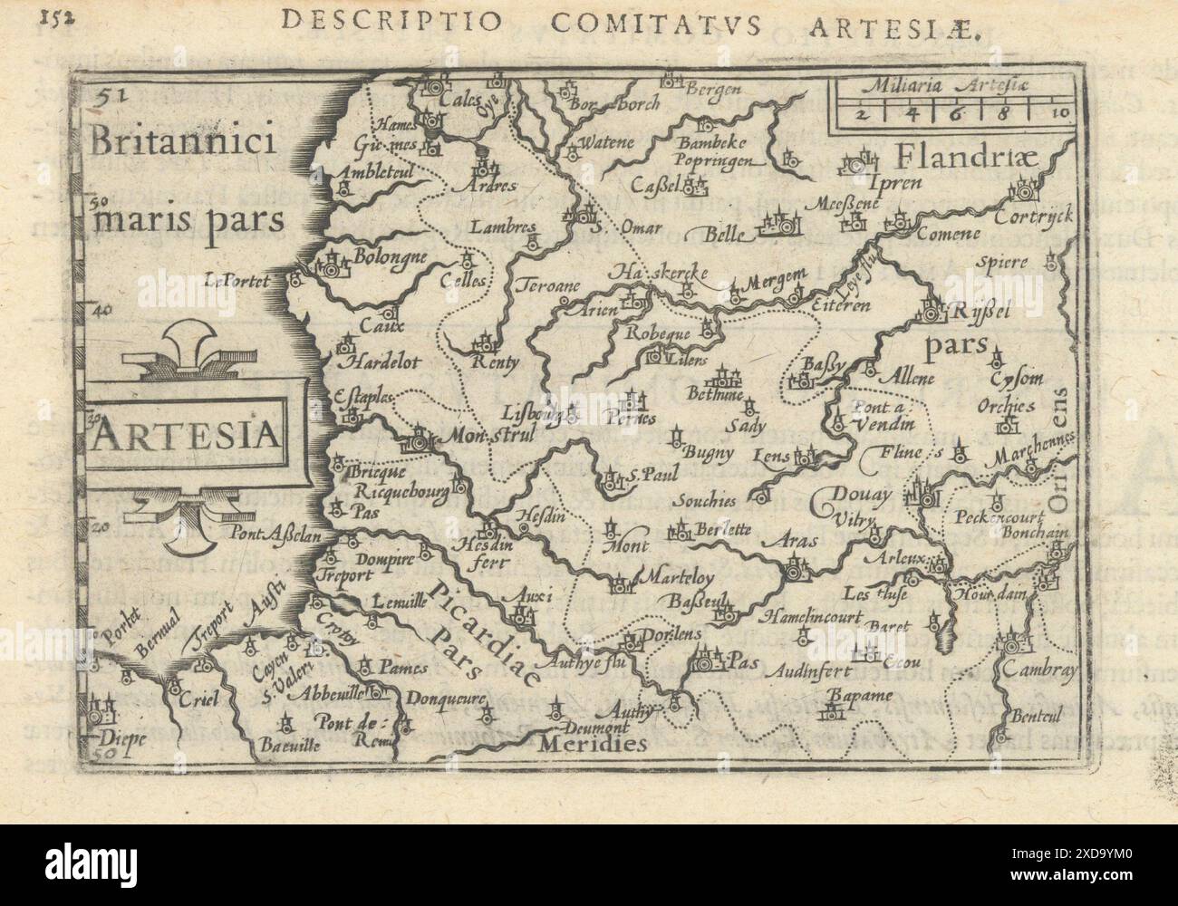 Comitatus Artesiae / Artesia by Bertius / Langenes. Comté d'Artois 1603 map Stock Photohttps://www.alamy.com/image-license-details/?v=1https://www.alamy.com/comitatus-artesiae-artesia-by-bertius-langenes-comt-dartois-1603-map-image610572704.html
RF2XD9YM0–Comitatus Artesiae / Artesia by Bertius / Langenes. Comté d'Artois 1603 map
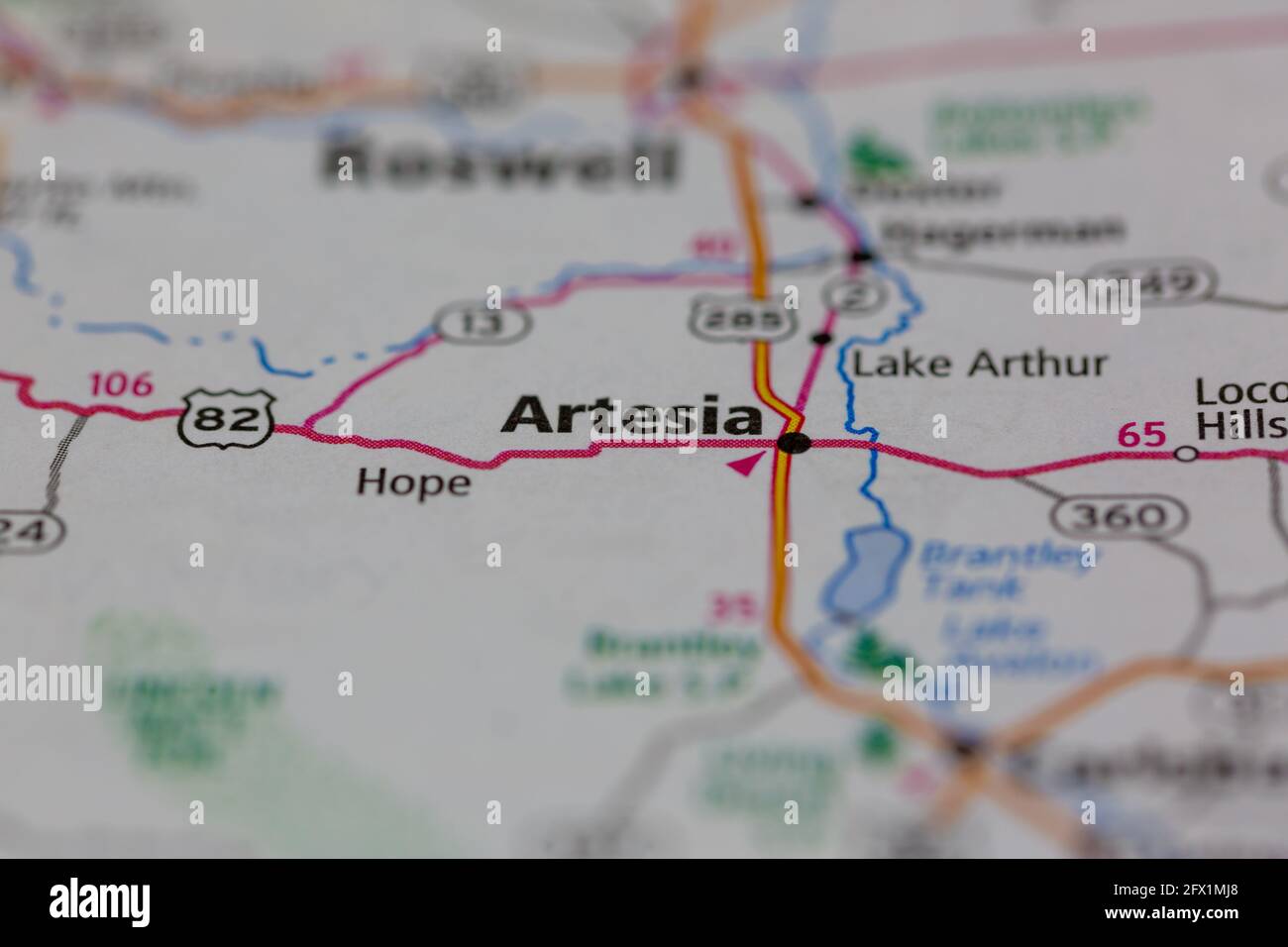 Artesia New Mexico USA shown on a Geography map or road ma Stock Photohttps://www.alamy.com/image-license-details/?v=1https://www.alamy.com/artesia-new-mexico-usa-shown-on-a-geography-map-or-road-ma-image429068032.html
RM2FX1MJ8–Artesia New Mexico USA shown on a Geography map or road ma
 Artesia, Lowndes County, US, United States, Mississippi, N 33 24' 55'', S 88 38' 38'', map, Cartascapes Map published in 2024. Explore Cartascapes, a map revealing Earth's diverse landscapes, cultures, and ecosystems. Journey through time and space, discovering the interconnectedness of our planet's past, present, and future. Stock Photohttps://www.alamy.com/image-license-details/?v=1https://www.alamy.com/artesia-lowndes-county-us-united-states-mississippi-n-33-24-55-s-88-38-38-map-cartascapes-map-published-in-2024-explore-cartascapes-a-map-revealing-earths-diverse-landscapes-cultures-and-ecosystems-journey-through-time-and-space-discovering-the-interconnectedness-of-our-planets-past-present-and-future-image621492171.html
RM2Y33BGY–Artesia, Lowndes County, US, United States, Mississippi, N 33 24' 55'', S 88 38' 38'', map, Cartascapes Map published in 2024. Explore Cartascapes, a map revealing Earth's diverse landscapes, cultures, and ecosystems. Journey through time and space, discovering the interconnectedness of our planet's past, present, and future.
 Map of the county of Artois, Artesia comitatus (title on object), Map of the county of Artois (Artois). Bottom left two scale sticks in a cartouche with two putti holding an obelisk. Top right the title cartouche with the coat of arms of the county., print maker: anonymous, publisher: Henricus Hondius, Amsterdam, 1633 - 1638, paper, engraving, etching, height 376 mm × width 483 mm, print Stock Photohttps://www.alamy.com/image-license-details/?v=1https://www.alamy.com/map-of-the-county-of-artois-artesia-comitatus-title-on-object-map-of-the-county-of-artois-artois-bottom-left-two-scale-sticks-in-a-cartouche-with-two-putti-holding-an-obelisk-top-right-the-title-cartouche-with-the-coat-of-arms-of-the-county-print-maker-anonymous-publisher-henricus-hondius-amsterdam-1633-1638-paper-engraving-etching-height-376-mm-width-483-mm-print-image599462794.html
RM2WR7TWE–Map of the county of Artois, Artesia comitatus (title on object), Map of the county of Artois (Artois). Bottom left two scale sticks in a cartouche with two putti holding an obelisk. Top right the title cartouche with the coat of arms of the county., print maker: anonymous, publisher: Henricus Hondius, Amsterdam, 1633 - 1638, paper, engraving, etching, height 376 mm × width 483 mm, print
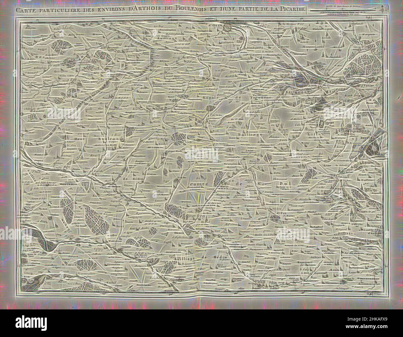 Inspired by Map of Artesia and part of Picardy, 1708, Carte particuliere des environs d'Arthois du Boulenois et d'une partie de la Picardie, Map of Artesia and part of Picardy, 1708. Part of a bundled collection of plans of battles and towns celebrated in the War of the Spanish Succession. This plate, Reimagined by Artotop. Classic art reinvented with a modern twist. Design of warm cheerful glowing of brightness and light ray radiance. Photography inspired by surrealism and futurism, embracing dynamic energy of modern technology, movement, speed and revolutionize culture Stock Photohttps://www.alamy.com/image-license-details/?v=1https://www.alamy.com/inspired-by-map-of-artesia-and-part-of-picardy-1708-carte-particuliere-des-environs-darthois-du-boulenois-et-dune-partie-de-la-picardie-map-of-artesia-and-part-of-picardy-1708-part-of-a-bundled-collection-of-plans-of-battles-and-towns-celebrated-in-the-war-of-the-spanish-succession-this-plate-reimagined-by-artotop-classic-art-reinvented-with-a-modern-twist-design-of-warm-cheerful-glowing-of-brightness-and-light-ray-radiance-photography-inspired-by-surrealism-and-futurism-embracing-dynamic-energy-of-modern-technology-movement-speed-and-revolutionize-culture-image459380049.html
RF2HKAFX9–Inspired by Map of Artesia and part of Picardy, 1708, Carte particuliere des environs d'Arthois du Boulenois et d'une partie de la Picardie, Map of Artesia and part of Picardy, 1708. Part of a bundled collection of plans of battles and towns celebrated in the War of the Spanish Succession. This plate, Reimagined by Artotop. Classic art reinvented with a modern twist. Design of warm cheerful glowing of brightness and light ray radiance. Photography inspired by surrealism and futurism, embracing dynamic energy of modern technology, movement, speed and revolutionize culture
 Map of the county of Artois, Artesia comitatus (title on object), Map of the county of Artois (Artois). Bottom left two scale sticks in a cartouche with two putti holding an obelisk. Top right the title cartouche with the coat of arms of the county., print, print maker: anonymous, publisher: Henricus Hondius, (mentioned on object), Amsterdam, 1633 - 1638, paper, engraving, etching, height, 376 mm × width, 483 mm Stock Photohttps://www.alamy.com/image-license-details/?v=1https://www.alamy.com/map-of-the-county-of-artois-artesia-comitatus-title-on-object-map-of-the-county-of-artois-artois-bottom-left-two-scale-sticks-in-a-cartouche-with-two-putti-holding-an-obelisk-top-right-the-title-cartouche-with-the-coat-of-arms-of-the-county-print-print-maker-anonymous-publisher-henricus-hondius-mentioned-on-object-amsterdam-1633-1638-paper-engraving-etching-height-376-mm-width-483-mm-image606640358.html
RM2X6XRY2–Map of the county of Artois, Artesia comitatus (title on object), Map of the county of Artois (Artois). Bottom left two scale sticks in a cartouche with two putti holding an obelisk. Top right the title cartouche with the coat of arms of the county., print, print maker: anonymous, publisher: Henricus Hondius, (mentioned on object), Amsterdam, 1633 - 1638, paper, engraving, etching, height, 376 mm × width, 483 mm
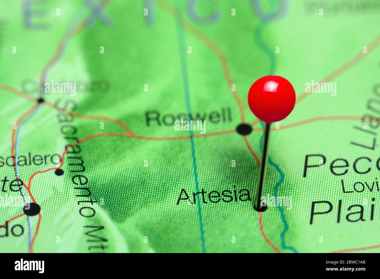 Artesia pinned on a map of New Mexico, USA Stock Photohttps://www.alamy.com/image-license-details/?v=1https://www.alamy.com/artesia-pinned-on-a-map-of-new-mexico-usa-image359838259.html
RF2BWC1AB–Artesia pinned on a map of New Mexico, USA
 Map of Artesia and part of Picardy, 1708, 1708 Map of Artesia and a part of Picardia, 1708. Part of a bundled collection of plans of battles and cities renowned in the Spanish Succession War. This album is one of the first 24 plates that together form a very large map of the Southern Netherlands. Brussels paper etching / engraving Picardy. Artesia Map of Artesia and a part of Picardia, 1708. Part of a bundled collection of plans of battles and cities renowned in the Spanish Succession War. This album is one of the first 24 plates that together form a very large map of the Southern Netherlands Stock Photohttps://www.alamy.com/image-license-details/?v=1https://www.alamy.com/map-of-artesia-and-part-of-picardy-1708-1708-map-of-artesia-and-a-part-of-picardia-1708-part-of-a-bundled-collection-of-plans-of-battles-and-cities-renowned-in-the-spanish-succession-war-this-album-is-one-of-the-first-24-plates-that-together-form-a-very-large-map-of-the-southern-netherlands-brussels-paper-etching-engraving-picardy-artesia-map-of-artesia-and-a-part-of-picardia-1708-part-of-a-bundled-collection-of-plans-of-battles-and-cities-renowned-in-the-spanish-succession-war-this-album-is-one-of-the-first-24-plates-that-together-form-a-very-large-map-of-the-southern-netherlands-image585689530.html
RM2W0TCY6–Map of Artesia and part of Picardy, 1708, 1708 Map of Artesia and a part of Picardia, 1708. Part of a bundled collection of plans of battles and cities renowned in the Spanish Succession War. This album is one of the first 24 plates that together form a very large map of the Southern Netherlands. Brussels paper etching / engraving Picardy. Artesia Map of Artesia and a part of Picardia, 1708. Part of a bundled collection of plans of battles and cities renowned in the Spanish Succession War. This album is one of the first 24 plates that together form a very large map of the Southern Netherlands
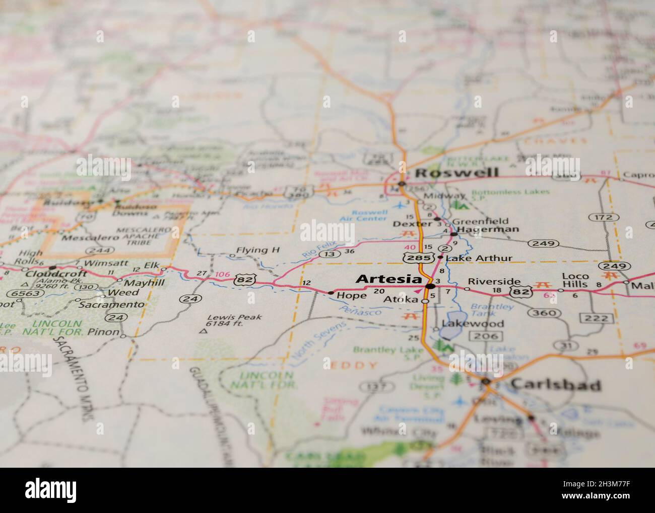 Map of the city of Artesia, NM Stock Photohttps://www.alamy.com/image-license-details/?v=1https://www.alamy.com/map-of-the-city-of-artesia-nm-image449758275.html
RF2H3M77F–Map of the city of Artesia, NM
 Atlas, map from 1623, Artesia, Belgium, Germany, digitally restored reproduction from an engraving by Gerhard Mercator, born as Gheert Cremer, March 5, 1512 - December 2, 1594, geographer and cartographer / Landkarte aus dem Jahre 1623, Artesia, Belgien, digital restaurierte Reproduktion von einem Kupferstich von Gerhard Mercator, geboren als Gheert Cremer, 5. März 1512 - 2. Dezember 1594, Geograph und Kartograf Stock Photohttps://www.alamy.com/image-license-details/?v=1https://www.alamy.com/atlas-map-from-1623-artesia-belgium-germany-digitally-restored-reproduction-from-an-engraving-by-gerhard-mercator-born-as-gheert-cremer-march-5-1512-december-2-1594-geographer-and-cartographer-landkarte-aus-dem-jahre-1623-artesia-belgien-digital-restaurierte-reproduktion-von-einem-kupferstich-von-gerhard-mercator-geboren-als-gheert-cremer-5-mrz-1512-2-dezember-1594-geograph-und-kartograf-image551948684.html
RF2R1YC50–Atlas, map from 1623, Artesia, Belgium, Germany, digitally restored reproduction from an engraving by Gerhard Mercator, born as Gheert Cremer, March 5, 1512 - December 2, 1594, geographer and cartographer / Landkarte aus dem Jahre 1623, Artesia, Belgien, digital restaurierte Reproduktion von einem Kupferstich von Gerhard Mercator, geboren als Gheert Cremer, 5. März 1512 - 2. Dezember 1594, Geograph und Kartograf
 Street roads map of the CITY OF ARTESIA, LOS ANGELES CITY COUNCIL Stock Vectorhttps://www.alamy.com/image-license-details/?v=1https://www.alamy.com/street-roads-map-of-the-city-of-artesia-los-angeles-city-council-image573623426.html
RF2T96PEX–Street roads map of the CITY OF ARTESIA, LOS ANGELES CITY COUNCIL
 Atlas, map from 1623, Artesia, Belgium, Germany, digitally restored reproduction from an engraving by Gerhard Mercator, born as Gheert Cremer, March 5, 1512 - December 2, 1594, geographer and cartographer / Landkarte aus dem Jahre 1623, Artesia, Belgien, digital restaurierte Reproduktion von einem Kupferstich von Gerhard Mercator, geboren als Gheert Cremer, 5. März 1512 - 2. Dezember 1594, Geograph und Kartograf Stock Photohttps://www.alamy.com/image-license-details/?v=1https://www.alamy.com/atlas-map-from-1623-artesia-belgium-germany-digitally-restored-reproduction-from-an-engraving-by-gerhard-mercator-born-as-gheert-cremer-march-5-1512-december-2-1594-geographer-and-cartographer-landkarte-aus-dem-jahre-1623-artesia-belgien-digital-restaurierte-reproduktion-von-einem-kupferstich-von-gerhard-mercator-geboren-als-gheert-cremer-5-mrz-1512-2-dezember-1594-geograph-und-kartograf-image597013417.html
RF2WK88KN–Atlas, map from 1623, Artesia, Belgium, Germany, digitally restored reproduction from an engraving by Gerhard Mercator, born as Gheert Cremer, March 5, 1512 - December 2, 1594, geographer and cartographer / Landkarte aus dem Jahre 1623, Artesia, Belgien, digital restaurierte Reproduktion von einem Kupferstich von Gerhard Mercator, geboren als Gheert Cremer, 5. März 1512 - 2. Dezember 1594, Geograph und Kartograf
 Map of the Artesia Pilar neighborhood of Santa Ana, California. ca. 14 January 2021 Stock Photohttps://www.alamy.com/image-license-details/?v=1https://www.alamy.com/map-of-the-artesia-pilar-neighborhood-of-santa-ana-california-ca-14-january-2021-image451149287.html
RM2H5YHEF–Map of the Artesia Pilar neighborhood of Santa Ana, California. ca. 14 January 2021
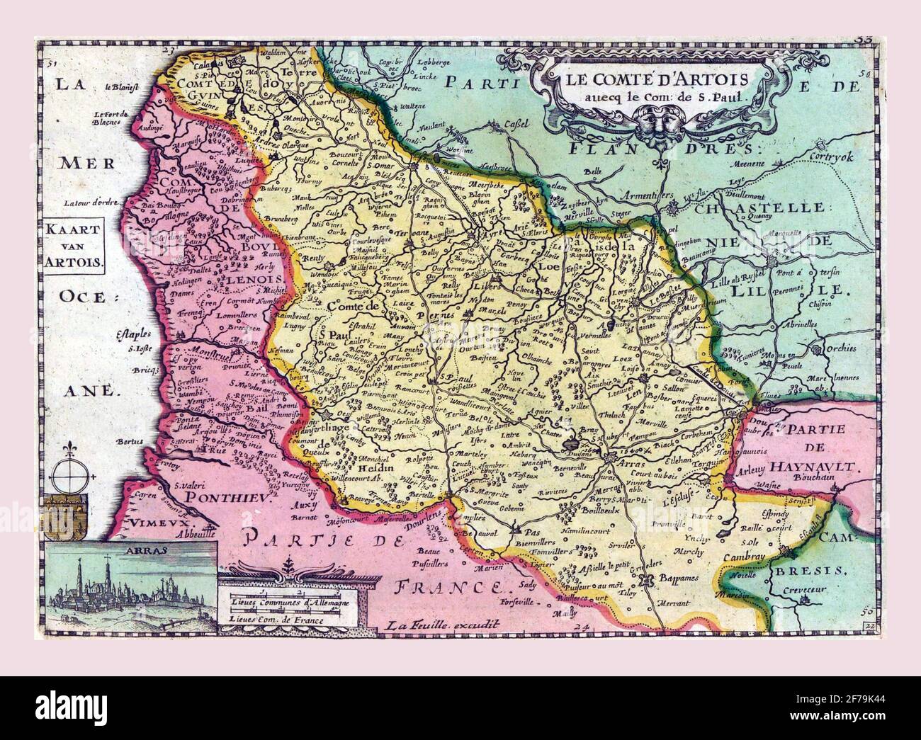 Map of Artesia, vintage engraving. Stock Photohttps://www.alamy.com/image-license-details/?v=1https://www.alamy.com/map-of-artesia-vintage-engraving-image417564004.html
RF2F79K44–Map of Artesia, vintage engraving.
 Governo Generale di Picardia. Picardy & Western Belgium. ROSSI/CANTELLI 1695 map Stock Photohttps://www.alamy.com/image-license-details/?v=1https://www.alamy.com/governo-generale-di-picardia-picardy-western-belgium-rossicantelli-1695-map-image351297445.html
RF2BBEYD9–Governo Generale di Picardia. Picardy & Western Belgium. ROSSI/CANTELLI 1695 map
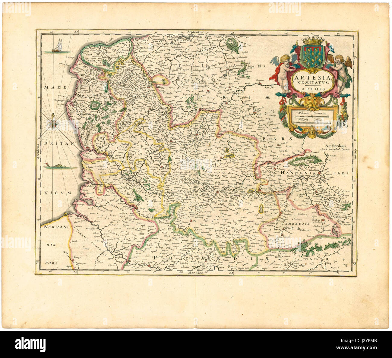 Blaeu 1645 - Artesia Comitatus Artois Stock Photohttps://www.alamy.com/image-license-details/?v=1https://www.alamy.com/stock-photo-blaeu-1645-artesia-comitatus-artois-139522779.html
RMJ2YPMB–Blaeu 1645 - Artesia Comitatus Artois
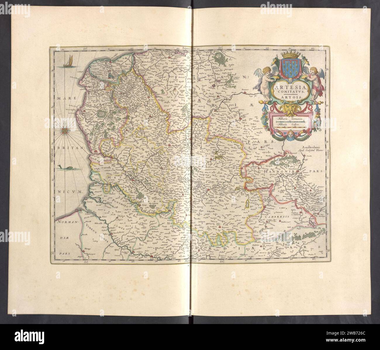 Artesia, Comitatvs Artois - Atlas Maior, vol 4, map 29 - Joan Blaeu, 1667 Stock Photohttps://www.alamy.com/image-license-details/?v=1https://www.alamy.com/artesia-comitatvs-artois-atlas-maior-vol-4-map-29-joan-blaeu-1667-image592069140.html
RM2WB726C–Artesia, Comitatvs Artois - Atlas Maior, vol 4, map 29 - Joan Blaeu, 1667
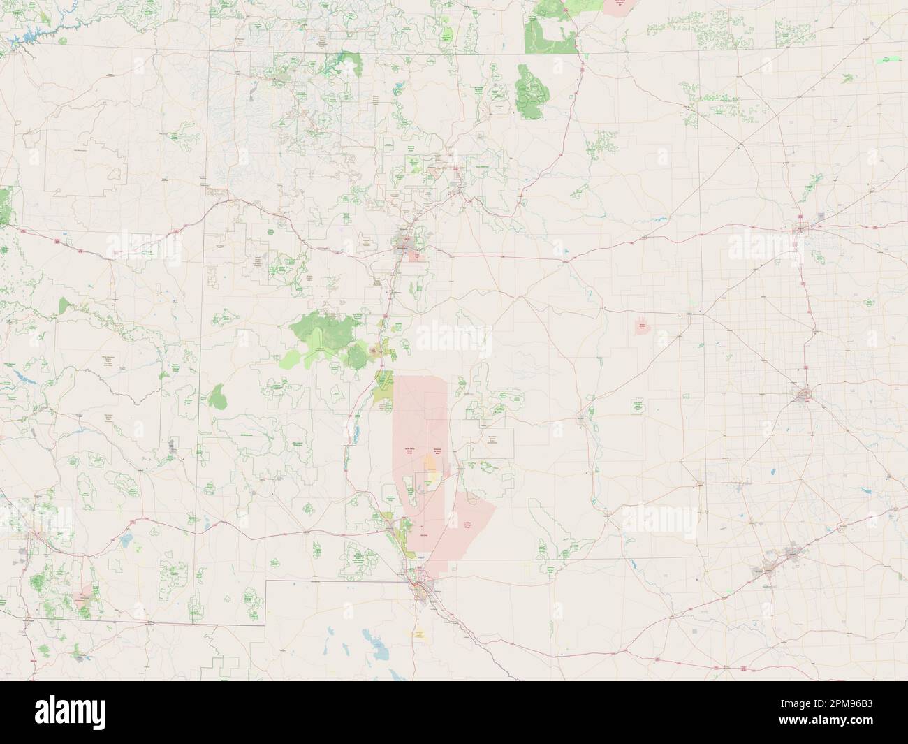 New Mexico, state of United States of America. Open Street Map Stock Photohttps://www.alamy.com/image-license-details/?v=1https://www.alamy.com/new-mexico-state-of-united-states-of-america-open-street-map-image546017111.html
RF2PM96B3–New Mexico, state of United States of America. Open Street Map
 USGS TOPO Map Arizona AZ Artesia 20111108 TM Restoration Stock Photohttps://www.alamy.com/image-license-details/?v=1https://www.alamy.com/usgs-topo-map-arizona-az-artesia-20111108-tm-restoration-image242223650.html
RMT226MJ–USGS TOPO Map Arizona AZ Artesia 20111108 TM Restoration
 Artesia, Bourke, AU, Australia, New South Wales, S 29 55' 0'', N 145 54' 23'', map, Cartascapes Map published in 2024. Explore Cartascapes, a map revealing Earth's diverse landscapes, cultures, and ecosystems. Journey through time and space, discovering the interconnectedness of our planet's past, present, and future. Stock Photohttps://www.alamy.com/image-license-details/?v=1https://www.alamy.com/artesia-bourke-au-australia-new-south-wales-s-29-55-0-n-145-54-23-map-cartascapes-map-published-in-2024-explore-cartascapes-a-map-revealing-earths-diverse-landscapes-cultures-and-ecosystems-journey-through-time-and-space-discovering-the-interconnectedness-of-our-planets-past-present-and-future-image625821844.html
RM2YA4J44–Artesia, Bourke, AU, Australia, New South Wales, S 29 55' 0'', N 145 54' 23'', map, Cartascapes Map published in 2024. Explore Cartascapes, a map revealing Earth's diverse landscapes, cultures, and ecosystems. Journey through time and space, discovering the interconnectedness of our planet's past, present, and future.
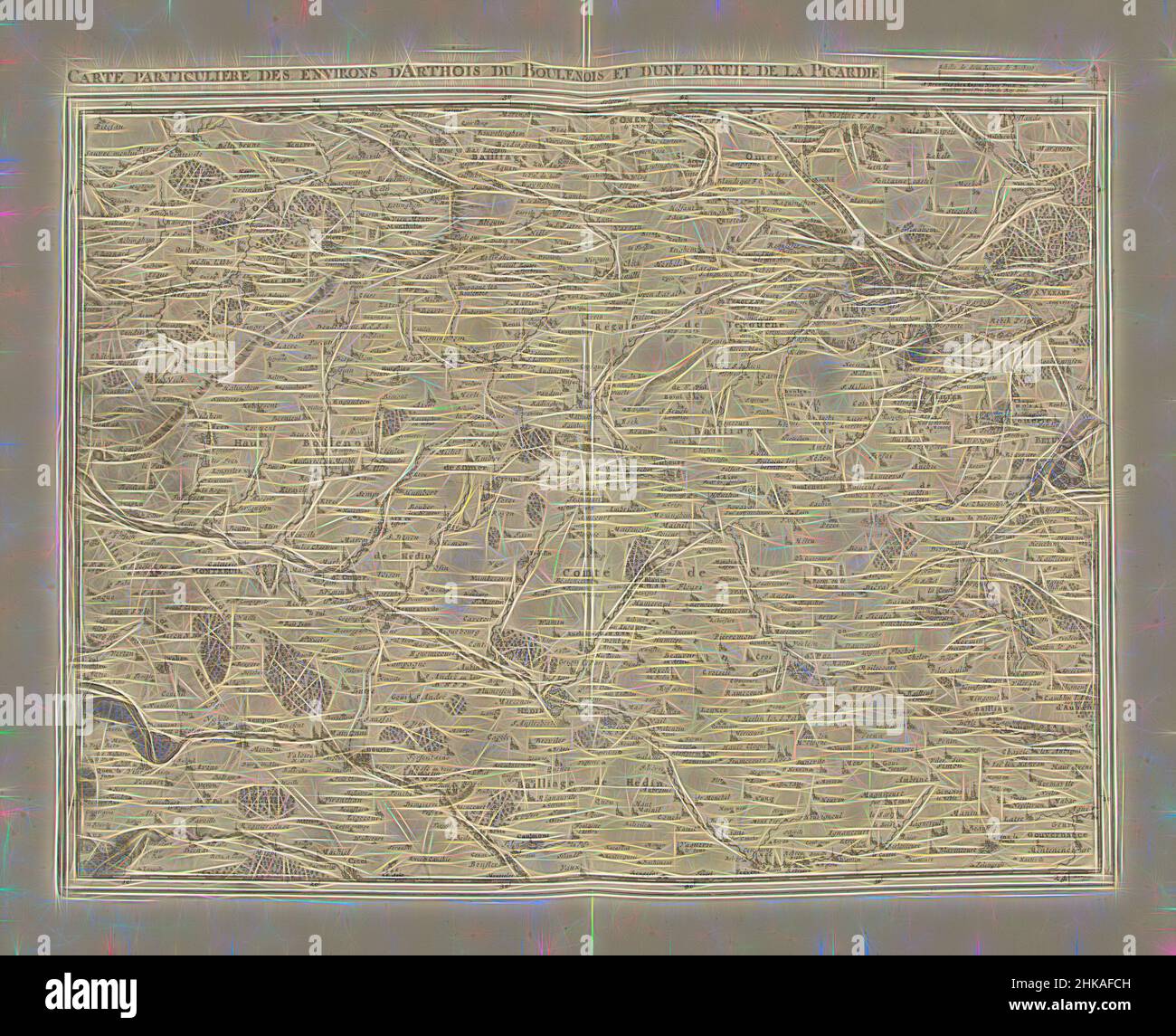 Inspired by Map of Artesia and part of Picardy, 1708, Carte particuliere des environs d'Arthois du Boulenois et d'une partie de la Picardie, Map of Artesia and part of Picardy, 1708. Part of a bundled collection of plans of battles and towns celebrated in the War of the Spanish Succession. This plate, Reimagined by Artotop. Classic art reinvented with a modern twist. Design of warm cheerful glowing of brightness and light ray radiance. Photography inspired by surrealism and futurism, embracing dynamic energy of modern technology, movement, speed and revolutionize culture Stock Photohttps://www.alamy.com/image-license-details/?v=1https://www.alamy.com/inspired-by-map-of-artesia-and-part-of-picardy-1708-carte-particuliere-des-environs-darthois-du-boulenois-et-dune-partie-de-la-picardie-map-of-artesia-and-part-of-picardy-1708-part-of-a-bundled-collection-of-plans-of-battles-and-towns-celebrated-in-the-war-of-the-spanish-succession-this-plate-reimagined-by-artotop-classic-art-reinvented-with-a-modern-twist-design-of-warm-cheerful-glowing-of-brightness-and-light-ray-radiance-photography-inspired-by-surrealism-and-futurism-embracing-dynamic-energy-of-modern-technology-movement-speed-and-revolutionize-culture-image459379665.html
RF2HKAFCH–Inspired by Map of Artesia and part of Picardy, 1708, Carte particuliere des environs d'Arthois du Boulenois et d'une partie de la Picardie, Map of Artesia and part of Picardy, 1708. Part of a bundled collection of plans of battles and towns celebrated in the War of the Spanish Succession. This plate, Reimagined by Artotop. Classic art reinvented with a modern twist. Design of warm cheerful glowing of brightness and light ray radiance. Photography inspired by surrealism and futurism, embracing dynamic energy of modern technology, movement, speed and revolutionize culture
 Map of Artesia and part of Picardy, 1708, Carte particuliere des environs d'Arthois du Boulenois et d'une partie de la Picardie (title on object), Map of Artesia and part of Picardy, 1708. Part of a bundled collection of plans of battles and towns celebrated in the War of the Spanish Succession. This plate is among the first 24 plates that make up a very large map of the Southern Netherlands., print maker: Jacobus Harrewijn (mentioned on object), publisher: Eugene Henry Fricx (mentioned on object), Brussels, 1708, paper, etching, engraving, height 439 mm × width 555 mm Stock Photohttps://www.alamy.com/image-license-details/?v=1https://www.alamy.com/map-of-artesia-and-part-of-picardy-1708-carte-particuliere-des-environs-darthois-du-boulenois-et-dune-partie-de-la-picardie-title-on-object-map-of-artesia-and-part-of-picardy-1708-part-of-a-bundled-collection-of-plans-of-battles-and-towns-celebrated-in-the-war-of-the-spanish-succession-this-plate-is-among-the-first-24-plates-that-make-up-a-very-large-map-of-the-southern-netherlands-print-maker-jacobus-harrewijn-mentioned-on-object-publisher-eugene-henry-fricx-mentioned-on-object-brussels-1708-paper-etching-engraving-height-439-mm-width-555-mm-image454363099.html
RM2HB60NF–Map of Artesia and part of Picardy, 1708, Carte particuliere des environs d'Arthois du Boulenois et d'une partie de la Picardie (title on object), Map of Artesia and part of Picardy, 1708. Part of a bundled collection of plans of battles and towns celebrated in the War of the Spanish Succession. This plate is among the first 24 plates that make up a very large map of the Southern Netherlands., print maker: Jacobus Harrewijn (mentioned on object), publisher: Eugene Henry Fricx (mentioned on object), Brussels, 1708, paper, etching, engraving, height 439 mm × width 555 mm
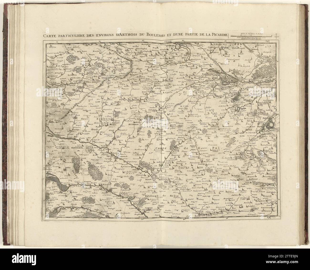 Map of Artesia and part of Picardy, 1708, 1708 Map of Artesia and a part of Picardia, 1708. Part of a bundled collection of plans of battles and cities renowned in the Spanish Succession War. This album is one of the first 24 plates that together form a very large map of the Southern Netherlands. Brussels paper etching / engraving Picardy. Artesia Map of Artesia and a part of Picardia, 1708. Part of a bundled collection of plans of battles and cities renowned in the Spanish Succession War. This album is one of the first 24 plates that together form a very large map of the Southern Netherlands Stock Photohttps://www.alamy.com/image-license-details/?v=1https://www.alamy.com/map-of-artesia-and-part-of-picardy-1708-1708-map-of-artesia-and-a-part-of-picardia-1708-part-of-a-bundled-collection-of-plans-of-battles-and-cities-renowned-in-the-spanish-succession-war-this-album-is-one-of-the-first-24-plates-that-together-form-a-very-large-map-of-the-southern-netherlands-brussels-paper-etching-engraving-picardy-artesia-map-of-artesia-and-a-part-of-picardia-1708-part-of-a-bundled-collection-of-plans-of-battles-and-cities-renowned-in-the-spanish-succession-war-this-album-is-one-of-the-first-24-plates-that-together-form-a-very-large-map-of-the-southern-netherlands-image583008797.html
RM2TTE9JN–Map of Artesia and part of Picardy, 1708, 1708 Map of Artesia and a part of Picardia, 1708. Part of a bundled collection of plans of battles and cities renowned in the Spanish Succession War. This album is one of the first 24 plates that together form a very large map of the Southern Netherlands. Brussels paper etching / engraving Picardy. Artesia Map of Artesia and a part of Picardia, 1708. Part of a bundled collection of plans of battles and cities renowned in the Spanish Succession War. This album is one of the first 24 plates that together form a very large map of the Southern Netherlands
 Street roads map of the CITY OF ARTESIA, LOS ANGELES CITY COUNCIL Stock Vectorhttps://www.alamy.com/image-license-details/?v=1https://www.alamy.com/street-roads-map-of-the-city-of-artesia-los-angeles-city-council-image573623503.html
RF2T96PHK–Street roads map of the CITY OF ARTESIA, LOS ANGELES CITY COUNCIL
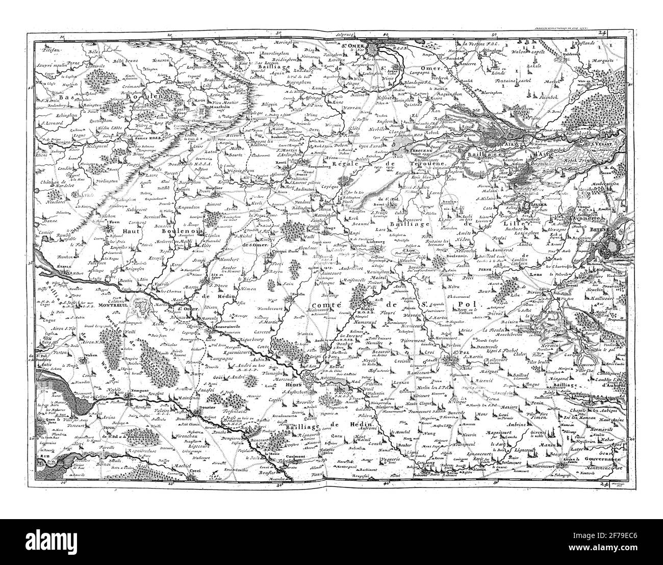 Map of Artesia and part of Picardy, vintage engraving. Stock Photohttps://www.alamy.com/image-license-details/?v=1https://www.alamy.com/map-of-artesia-and-part-of-picardy-vintage-engraving-image417560310.html
RF2F79EC6–Map of Artesia and part of Picardy, vintage engraving.
 New Mexico, state of United States of America. High resolution satellite map Stock Photohttps://www.alamy.com/image-license-details/?v=1https://www.alamy.com/new-mexico-state-of-united-states-of-america-high-resolution-satellite-map-image546017130.html
RF2PM96BP–New Mexico, state of United States of America. High resolution satellite map
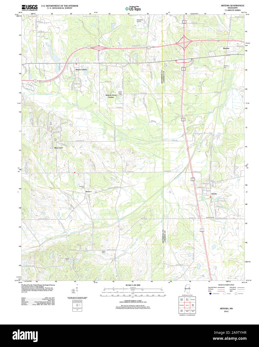 USGS TOPO Map Mississippi MS Artesia 20120326 TM Restoration Stock Photohttps://www.alamy.com/image-license-details/?v=1https://www.alamy.com/usgs-topo-map-mississippi-ms-artesia-20120326-tm-restoration-image333077411.html
RM2A9TYHR–USGS TOPO Map Mississippi MS Artesia 20120326 TM Restoration
 Artesia (historical), Lyon County, US, United States, Nevada, N 38 57' 13'', S 119 22' 31'', map, Cartascapes Map published in 2024. Explore Cartascapes, a map revealing Earth's diverse landscapes, cultures, and ecosystems. Journey through time and space, discovering the interconnectedness of our planet's past, present, and future. Stock Photohttps://www.alamy.com/image-license-details/?v=1https://www.alamy.com/artesia-historical-lyon-county-us-united-states-nevada-n-38-57-13-s-119-22-31-map-cartascapes-map-published-in-2024-explore-cartascapes-a-map-revealing-earths-diverse-landscapes-cultures-and-ecosystems-journey-through-time-and-space-discovering-the-interconnectedness-of-our-planets-past-present-and-future-image621198355.html
RM2Y2J0RF–Artesia (historical), Lyon County, US, United States, Nevada, N 38 57' 13'', S 119 22' 31'', map, Cartascapes Map published in 2024. Explore Cartascapes, a map revealing Earth's diverse landscapes, cultures, and ecosystems. Journey through time and space, discovering the interconnectedness of our planet's past, present, and future.
 Art inspired by Map of Artesia and part of Picardy, 1708, Carte particuliere des environs d'Arthois du Boulenois et d'une partie de la Picardie, Map of Artesia and part of Picardy, 1708. Part of a bundled collection of plans of battles and towns celebrated in the War of the Spanish, Classic works modernized by Artotop with a splash of modernity. Shapes, color and value, eye-catching visual impact on art. Emotions through freedom of artworks in a contemporary way. A timeless message pursuing a wildly creative new direction. Artists turning to the digital medium and creating the Artotop NFT Stock Photohttps://www.alamy.com/image-license-details/?v=1https://www.alamy.com/art-inspired-by-map-of-artesia-and-part-of-picardy-1708-carte-particuliere-des-environs-darthois-du-boulenois-et-dune-partie-de-la-picardie-map-of-artesia-and-part-of-picardy-1708-part-of-a-bundled-collection-of-plans-of-battles-and-towns-celebrated-in-the-war-of-the-spanish-classic-works-modernized-by-artotop-with-a-splash-of-modernity-shapes-color-and-value-eye-catching-visual-impact-on-art-emotions-through-freedom-of-artworks-in-a-contemporary-way-a-timeless-message-pursuing-a-wildly-creative-new-direction-artists-turning-to-the-digital-medium-and-creating-the-artotop-nft-image459724887.html
RF2HKX7NY–Art inspired by Map of Artesia and part of Picardy, 1708, Carte particuliere des environs d'Arthois du Boulenois et d'une partie de la Picardie, Map of Artesia and part of Picardy, 1708. Part of a bundled collection of plans of battles and towns celebrated in the War of the Spanish, Classic works modernized by Artotop with a splash of modernity. Shapes, color and value, eye-catching visual impact on art. Emotions through freedom of artworks in a contemporary way. A timeless message pursuing a wildly creative new direction. Artists turning to the digital medium and creating the Artotop NFT
 Map of Artesia and part of Picardy, 1708, Carte particuliere des environs d'Arthois du Boulenois et d'une partie de la Picardie (title on object), Map of Artesia and part of Picardy, 1708. Part of a bundled collection of plans of battles and towns celebrated in the War of the Spanish Succession. This plate is among the first 24 plates that make up a very large map of the Southern Netherlands., print maker: Jacobus Harrewijn (mentioned on object), publisher: Eugene Henry Fricx (mentioned on object), Brussels, 1708, paper, etching, engraving, height 440 mm × width 555 mm Stock Photohttps://www.alamy.com/image-license-details/?v=1https://www.alamy.com/map-of-artesia-and-part-of-picardy-1708-carte-particuliere-des-environs-darthois-du-boulenois-et-dune-partie-de-la-picardie-title-on-object-map-of-artesia-and-part-of-picardy-1708-part-of-a-bundled-collection-of-plans-of-battles-and-towns-celebrated-in-the-war-of-the-spanish-succession-this-plate-is-among-the-first-24-plates-that-make-up-a-very-large-map-of-the-southern-netherlands-print-maker-jacobus-harrewijn-mentioned-on-object-publisher-eugene-henry-fricx-mentioned-on-object-brussels-1708-paper-etching-engraving-height-440-mm-width-555-mm-image454363419.html
RM2HB614Y–Map of Artesia and part of Picardy, 1708, Carte particuliere des environs d'Arthois du Boulenois et d'une partie de la Picardie (title on object), Map of Artesia and part of Picardy, 1708. Part of a bundled collection of plans of battles and towns celebrated in the War of the Spanish Succession. This plate is among the first 24 plates that make up a very large map of the Southern Netherlands., print maker: Jacobus Harrewijn (mentioned on object), publisher: Eugene Henry Fricx (mentioned on object), Brussels, 1708, paper, etching, engraving, height 440 mm × width 555 mm
![ARTESIA DESCRIPTIO. Author Surhon, Jean 58.47. Place of publication: [Amsterdam] Publisher: Petrus Kærius Excud., Date of publication: [between 1600 and 1650] Item type: 1 map Medium: copperplate engraving Dimensions: 34.7 x 45.6 cm Former owner: George III, King of Great Britain, 1738-1820 Stock Photo ARTESIA DESCRIPTIO. Author Surhon, Jean 58.47. Place of publication: [Amsterdam] Publisher: Petrus Kærius Excud., Date of publication: [between 1600 and 1650] Item type: 1 map Medium: copperplate engraving Dimensions: 34.7 x 45.6 cm Former owner: George III, King of Great Britain, 1738-1820 Stock Photo](https://c8.alamy.com/comp/2E9F8DG/artesia-descriptio-author-surhon-jean-5847-place-of-publication-amsterdam-publisher-petrus-krius-excud-date-of-publication-between-1600-and-1650-item-type-1-map-medium-copperplate-engraving-dimensions-347-x-456-cm-former-owner-george-iii-king-of-great-britain-1738-1820-2E9F8DG.jpg) ARTESIA DESCRIPTIO. Author Surhon, Jean 58.47. Place of publication: [Amsterdam] Publisher: Petrus Kærius Excud., Date of publication: [between 1600 and 1650] Item type: 1 map Medium: copperplate engraving Dimensions: 34.7 x 45.6 cm Former owner: George III, King of Great Britain, 1738-1820 Stock Photohttps://www.alamy.com/image-license-details/?v=1https://www.alamy.com/artesia-descriptio-author-surhon-jean-5847-place-of-publication-amsterdam-publisher-petrus-krius-excud-date-of-publication-between-1600-and-1650-item-type-1-map-medium-copperplate-engraving-dimensions-347-x-456-cm-former-owner-george-iii-king-of-great-britain-1738-1820-image401706300.html
ARTESIA DESCRIPTIO. Author Surhon, Jean 58.47. Place of publication: [Amsterdam] Publisher: Petrus K√¶rius Excud., Date of publication: [between 1600 and 1650] Item type: 1 map Medium: copperplate engraving Dimensions: 34.7 x 45.6 cm Former owner: George III, King of Great Britain, 1738-1820 Stock Photohttps://www.alamy.com/image-license-details/?v=1https://www.alamy.com/artesia-descriptio-author-surhon-jean-5847-place-of-publication-amsterdam-publisher-petrus-krius-excud-date-of-publication-between-1600-and-1650-item-type-1-map-medium-copperplate-engraving-dimensions-347-x-456-cm-former-owner-george-iii-king-of-great-britain-1738-1820-image401706300.htmlRM2E9F8DG–ARTESIA DESCRIPTIO. Author Surhon, Jean 58.47. Place of publication: [Amsterdam] Publisher: Petrus K√¶rius Excud., Date of publication: [between 1600 and 1650] Item type: 1 map Medium: copperplate engraving Dimensions: 34.7 x 45.6 cm Former owner: George III, King of Great Britain, 1738-1820
 Map of Artesia and part of Picardy, vintage engraving. Stock Photohttps://www.alamy.com/image-license-details/?v=1https://www.alamy.com/map-of-artesia-and-part-of-picardy-vintage-engraving-image417559635.html
RF2F79DG3–Map of Artesia and part of Picardy, vintage engraving.
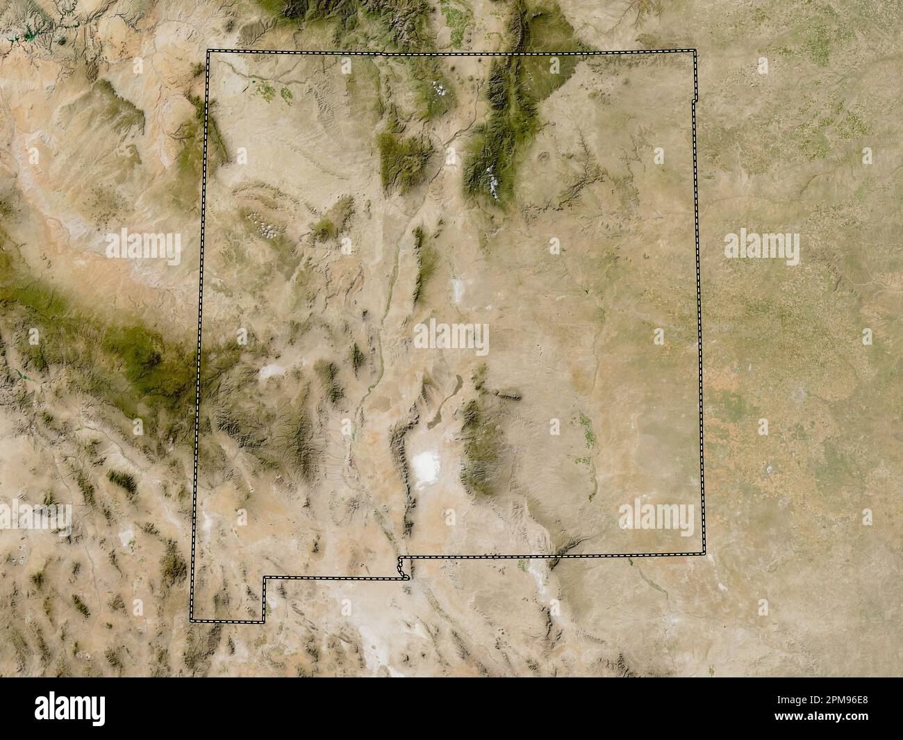 New Mexico, state of United States of America. Low resolution satellite map Stock Photohttps://www.alamy.com/image-license-details/?v=1https://www.alamy.com/new-mexico-state-of-united-states-of-america-low-resolution-satellite-map-image546017200.html
RF2PM96E8–New Mexico, state of United States of America. Low resolution satellite map
 USGS TOPO Map Arizona AZ Artesia 20111108 TM Inverted Restoration Stock Photohttps://www.alamy.com/image-license-details/?v=1https://www.alamy.com/usgs-topo-map-arizona-az-artesia-20111108-tm-inverted-restoration-image242223649.html
RMT226MH–USGS TOPO Map Arizona AZ Artesia 20111108 TM Inverted Restoration
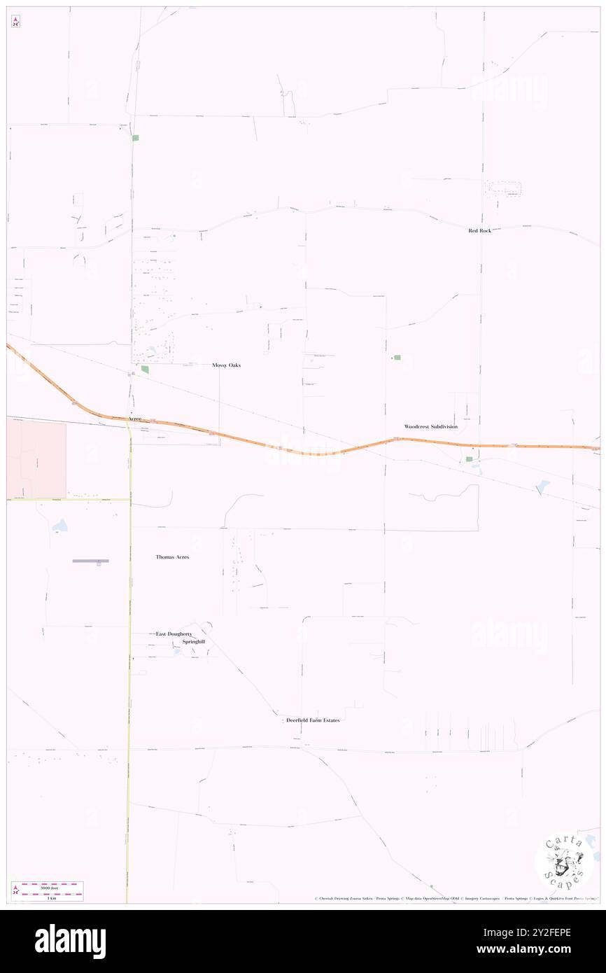 Artesia (historical), Worth County, US, United States, Georgia, N 31 33' 0'', S 83 58' 2'', map, Cartascapes Map published in 2024. Explore Cartascapes, a map revealing Earth's diverse landscapes, cultures, and ecosystems. Journey through time and space, discovering the interconnectedness of our planet's past, present, and future. Stock Photohttps://www.alamy.com/image-license-details/?v=1https://www.alamy.com/artesia-historical-worth-county-us-united-states-georgia-n-31-33-0-s-83-58-2-map-cartascapes-map-published-in-2024-explore-cartascapes-a-map-revealing-earths-diverse-landscapes-cultures-and-ecosystems-journey-through-time-and-space-discovering-the-interconnectedness-of-our-planets-past-present-and-future-image621143446.html
RM2Y2FEPE–Artesia (historical), Worth County, US, United States, Georgia, N 31 33' 0'', S 83 58' 2'', map, Cartascapes Map published in 2024. Explore Cartascapes, a map revealing Earth's diverse landscapes, cultures, and ecosystems. Journey through time and space, discovering the interconnectedness of our planet's past, present, and future.
 Art inspired by Map of Artesia and part of Picardy, 1708, Carte particuliere des environs d'Arthois du Boulenois et d'une partie de la Picardie, Map of Artesia and part of Picardy, 1708. Part of a bundled collection of plans of battles and towns celebrated in the War of the Spanish, Classic works modernized by Artotop with a splash of modernity. Shapes, color and value, eye-catching visual impact on art. Emotions through freedom of artworks in a contemporary way. A timeless message pursuing a wildly creative new direction. Artists turning to the digital medium and creating the Artotop NFT Stock Photohttps://www.alamy.com/image-license-details/?v=1https://www.alamy.com/art-inspired-by-map-of-artesia-and-part-of-picardy-1708-carte-particuliere-des-environs-darthois-du-boulenois-et-dune-partie-de-la-picardie-map-of-artesia-and-part-of-picardy-1708-part-of-a-bundled-collection-of-plans-of-battles-and-towns-celebrated-in-the-war-of-the-spanish-classic-works-modernized-by-artotop-with-a-splash-of-modernity-shapes-color-and-value-eye-catching-visual-impact-on-art-emotions-through-freedom-of-artworks-in-a-contemporary-way-a-timeless-message-pursuing-a-wildly-creative-new-direction-artists-turning-to-the-digital-medium-and-creating-the-artotop-nft-image459724672.html
RF2HKX7E8–Art inspired by Map of Artesia and part of Picardy, 1708, Carte particuliere des environs d'Arthois du Boulenois et d'une partie de la Picardie, Map of Artesia and part of Picardy, 1708. Part of a bundled collection of plans of battles and towns celebrated in the War of the Spanish, Classic works modernized by Artotop with a splash of modernity. Shapes, color and value, eye-catching visual impact on art. Emotions through freedom of artworks in a contemporary way. A timeless message pursuing a wildly creative new direction. Artists turning to the digital medium and creating the Artotop NFT
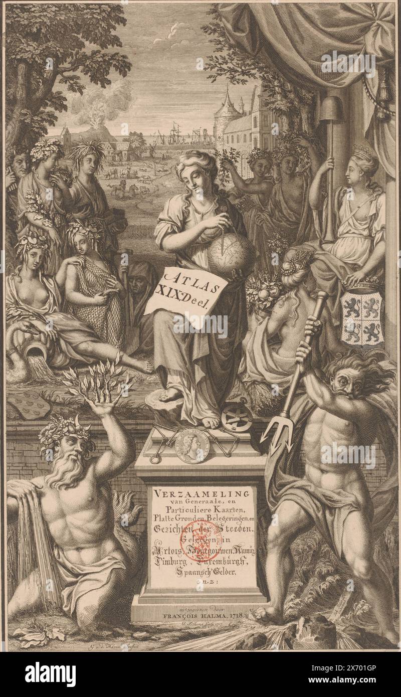 Title print for portfolio 19 of the Atlas Ottens (Artesia, Hainaut, Namur, Limburg, Luxembourg and Spanish Gelderland), Atlas Located in Artois, Hainaut, Namur, Limburg, Luxembourgh, Spaansch' Gelder, etc: (title on object), This print has been used here as the title print of part of an unbound atlas; a collection of cartographic and topographical prints and drawings. However, the print was originally intended as a title page for a bound atlas with maps of Friesland, so part of the following description relates to that context. On the pedestal in the middle stands the personification of Stock Photohttps://www.alamy.com/image-license-details/?v=1https://www.alamy.com/title-print-for-portfolio-19-of-the-atlas-ottens-artesia-hainaut-namur-limburg-luxembourg-and-spanish-gelderland-atlas-located-in-artois-hainaut-namur-limburg-luxembourgh-spaansch-gelder-etc-title-on-object-this-print-has-been-used-here-as-the-title-print-of-part-of-an-unbound-atlas-a-collection-of-cartographic-and-topographical-prints-and-drawings-however-the-print-was-originally-intended-as-a-title-page-for-a-bound-atlas-with-maps-of-friesland-so-part-of-the-following-description-relates-to-that-context-on-the-pedestal-in-the-middle-stands-the-personification-of-image606666726.html
RM2X701GP–Title print for portfolio 19 of the Atlas Ottens (Artesia, Hainaut, Namur, Limburg, Luxembourg and Spanish Gelderland), Atlas Located in Artois, Hainaut, Namur, Limburg, Luxembourgh, Spaansch' Gelder, etc: (title on object), This print has been used here as the title print of part of an unbound atlas; a collection of cartographic and topographical prints and drawings. However, the print was originally intended as a title page for a bound atlas with maps of Friesland, so part of the following description relates to that context. On the pedestal in the middle stands the personification of
![ARTESIA DESCRIPTIO. Author Surhon, Jean 58.47. Place of publication: [Amsterdam] Publisher: Petrus Kærius Excud., Date of publication: [between 1600 and 1650] Item type: 1 map Medium: copperplate engraving Dimensions: 34.7 x 45.6 cm Former owner: George III, King of Great Britain, 1738-1820 Stock Photo ARTESIA DESCRIPTIO. Author Surhon, Jean 58.47. Place of publication: [Amsterdam] Publisher: Petrus Kærius Excud., Date of publication: [between 1600 and 1650] Item type: 1 map Medium: copperplate engraving Dimensions: 34.7 x 45.6 cm Former owner: George III, King of Great Britain, 1738-1820 Stock Photo](https://c8.alamy.com/comp/2E9F8DT/artesia-descriptio-author-surhon-jean-5847-place-of-publication-amsterdam-publisher-petrus-krius-excud-date-of-publication-between-1600-and-1650-item-type-1-map-medium-copperplate-engraving-dimensions-347-x-456-cm-former-owner-george-iii-king-of-great-britain-1738-1820-2E9F8DT.jpg) ARTESIA DESCRIPTIO. Author Surhon, Jean 58.47. Place of publication: [Amsterdam] Publisher: Petrus Kærius Excud., Date of publication: [between 1600 and 1650] Item type: 1 map Medium: copperplate engraving Dimensions: 34.7 x 45.6 cm Former owner: George III, King of Great Britain, 1738-1820 Stock Photohttps://www.alamy.com/image-license-details/?v=1https://www.alamy.com/artesia-descriptio-author-surhon-jean-5847-place-of-publication-amsterdam-publisher-petrus-krius-excud-date-of-publication-between-1600-and-1650-item-type-1-map-medium-copperplate-engraving-dimensions-347-x-456-cm-former-owner-george-iii-king-of-great-britain-1738-1820-image401706308.html
ARTESIA DESCRIPTIO. Author Surhon, Jean 58.47. Place of publication: [Amsterdam] Publisher: Petrus K√¶rius Excud., Date of publication: [between 1600 and 1650] Item type: 1 map Medium: copperplate engraving Dimensions: 34.7 x 45.6 cm Former owner: George III, King of Great Britain, 1738-1820 Stock Photohttps://www.alamy.com/image-license-details/?v=1https://www.alamy.com/artesia-descriptio-author-surhon-jean-5847-place-of-publication-amsterdam-publisher-petrus-krius-excud-date-of-publication-between-1600-and-1650-item-type-1-map-medium-copperplate-engraving-dimensions-347-x-456-cm-former-owner-george-iii-king-of-great-britain-1738-1820-image401706308.htmlRM2E9F8DT–ARTESIA DESCRIPTIO. Author Surhon, Jean 58.47. Place of publication: [Amsterdam] Publisher: Petrus K√¶rius Excud., Date of publication: [between 1600 and 1650] Item type: 1 map Medium: copperplate engraving Dimensions: 34.7 x 45.6 cm Former owner: George III, King of Great Britain, 1738-1820
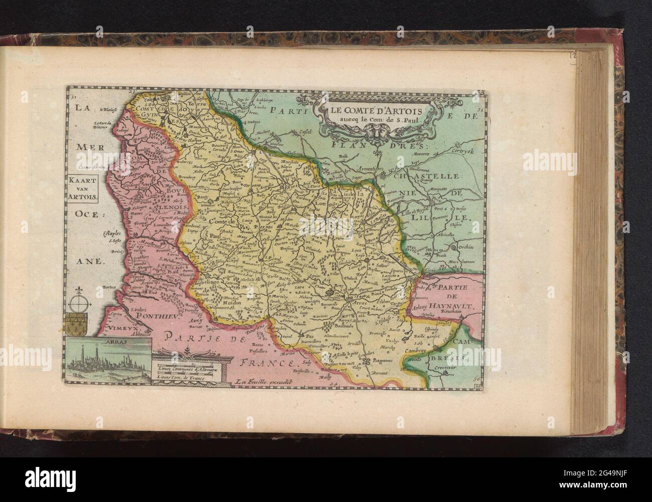 Artesia map; Le Comté d'Artois / Artois map. Map of De Graafschap Artesia, bottom left a small face on Arras. Part of an Atlas with 223 maps of countries and cities and war scaffolding in Europe in the period approx. 1690-1735. Stock Photohttps://www.alamy.com/image-license-details/?v=1https://www.alamy.com/artesia-map-le-comt-dartois-artois-map-map-of-de-graafschap-artesia-bottom-left-a-small-face-on-arras-part-of-an-atlas-with-223-maps-of-countries-and-cities-and-war-scaffolding-in-europe-in-the-period-approx-1690-1735-image432932375.html
RM2G49NJF–Artesia map; Le Comté d'Artois / Artois map. Map of De Graafschap Artesia, bottom left a small face on Arras. Part of an Atlas with 223 maps of countries and cities and war scaffolding in Europe in the period approx. 1690-1735.
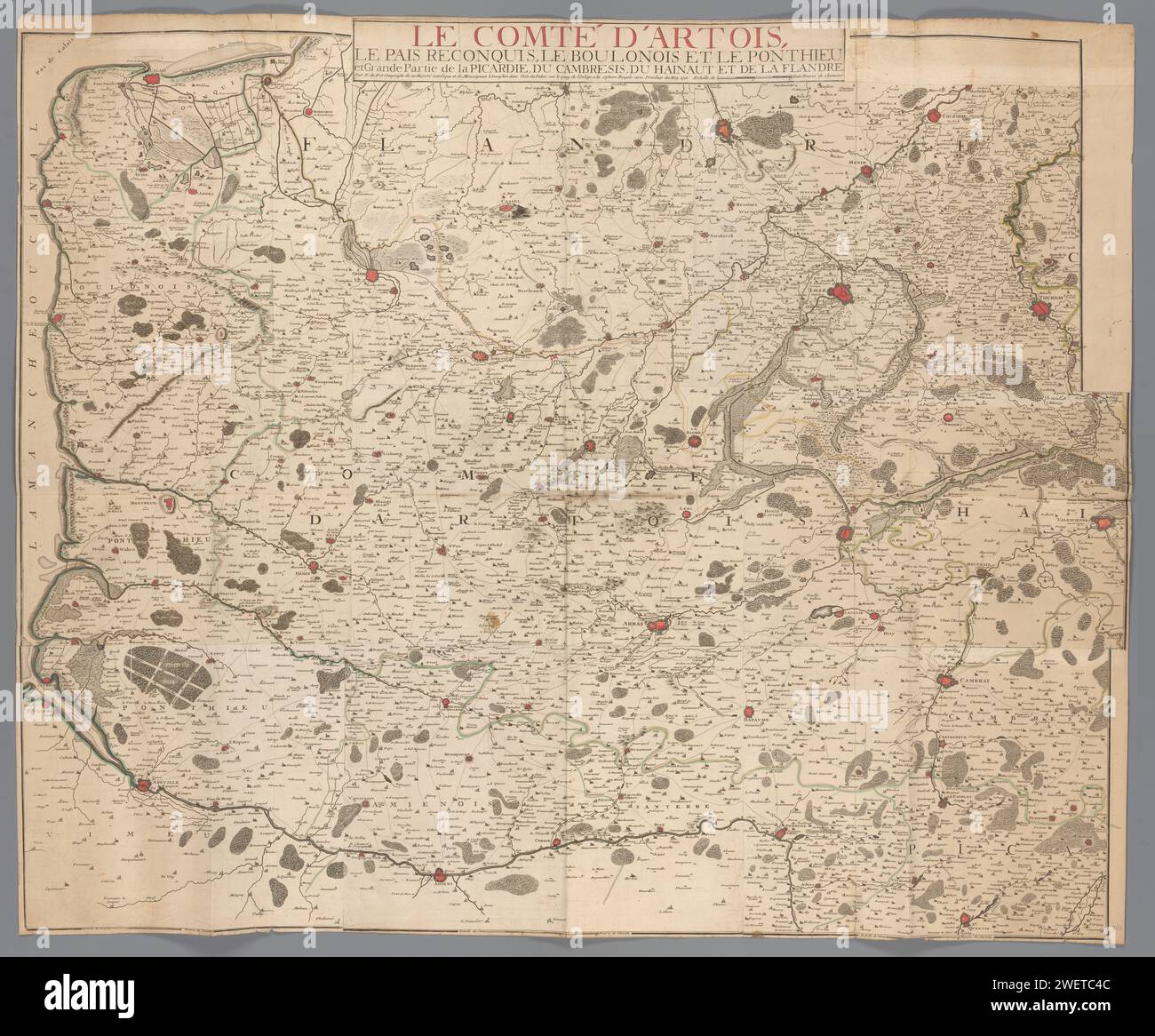 Map of the Graafschap Artesia, Anonymous, 1710 print paper etching maps of separate countries or regions Artesia Stock Photohttps://www.alamy.com/image-license-details/?v=1https://www.alamy.com/map-of-the-graafschap-artesia-anonymous-1710-print-paper-etching-maps-of-separate-countries-or-regions-artesia-image594294076.html
RM2WETC4C–Map of the Graafschap Artesia, Anonymous, 1710 print paper etching maps of separate countries or regions Artesia
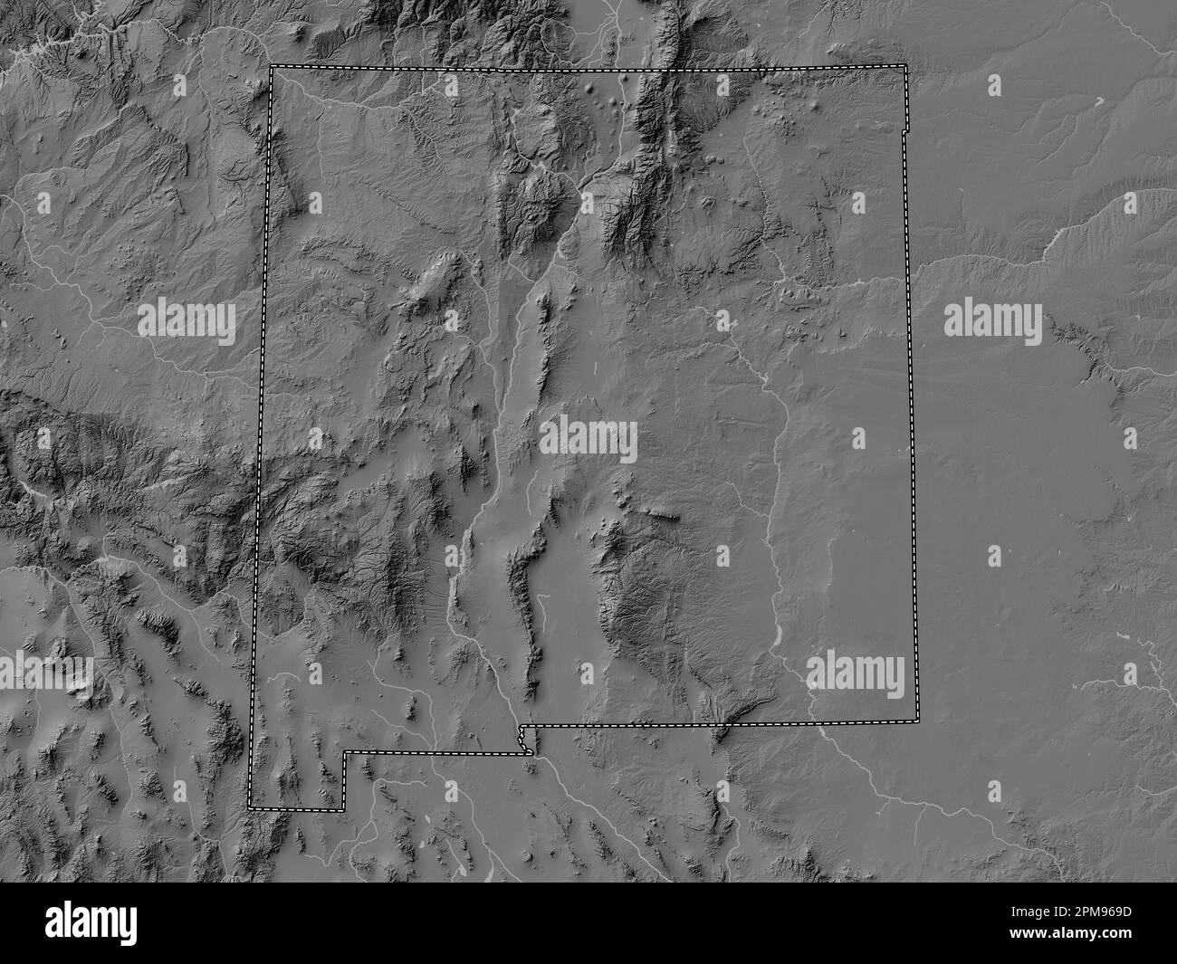 New Mexico, state of United States of America. Bilevel elevation map with lakes and rivers Stock Photohttps://www.alamy.com/image-license-details/?v=1https://www.alamy.com/new-mexico-state-of-united-states-of-america-bilevel-elevation-map-with-lakes-and-rivers-image546017065.html
RF2PM969D–New Mexico, state of United States of America. Bilevel elevation map with lakes and rivers
 USGS TOPO Map Arizona AZ Artesia NE 20111202 TM Restoration Stock Photohttps://www.alamy.com/image-license-details/?v=1https://www.alamy.com/usgs-topo-map-arizona-az-artesia-ne-20111202-tm-restoration-image242223674.html
RMT226NE–USGS TOPO Map Arizona AZ Artesia NE 20111202 TM Restoration
 Artesia Beach, Roscommon County, US, United States, Michigan, N 44 21' 23'', S 84 29' 30'', map, Cartascapes Map published in 2024. Explore Cartascapes, a map revealing Earth's diverse landscapes, cultures, and ecosystems. Journey through time and space, discovering the interconnectedness of our planet's past, present, and future. Stock Photohttps://www.alamy.com/image-license-details/?v=1https://www.alamy.com/artesia-beach-roscommon-county-us-united-states-michigan-n-44-21-23-s-84-29-30-map-cartascapes-map-published-in-2024-explore-cartascapes-a-map-revealing-earths-diverse-landscapes-cultures-and-ecosystems-journey-through-time-and-space-discovering-the-interconnectedness-of-our-planets-past-present-and-future-image621306546.html
RM2Y2PXRE–Artesia Beach, Roscommon County, US, United States, Michigan, N 44 21' 23'', S 84 29' 30'', map, Cartascapes Map published in 2024. Explore Cartascapes, a map revealing Earth's diverse landscapes, cultures, and ecosystems. Journey through time and space, discovering the interconnectedness of our planet's past, present, and future.
 Map of the Duke Dommen Brabant and Limburg and of the counties of Flanders, Artesia, Hainaut and Namur, P. Starckman, 1706 print paper etching / engraving maps of separate countries or regions Brabant. Limburg (Belgian province). Flanders. Artesia. Hainaut. Names (county) Stock Photohttps://www.alamy.com/image-license-details/?v=1https://www.alamy.com/map-of-the-duke-dommen-brabant-and-limburg-and-of-the-counties-of-flanders-artesia-hainaut-and-namur-p-starckman-1706-print-paper-etching-engraving-maps-of-separate-countries-or-regions-brabant-limburg-belgian-province-flanders-artesia-hainaut-names-county-image594293890.html
RM2WETBWP–Map of the Duke Dommen Brabant and Limburg and of the counties of Flanders, Artesia, Hainaut and Namur, P. Starckman, 1706 print paper etching / engraving maps of separate countries or regions Brabant. Limburg (Belgian province). Flanders. Artesia. Hainaut. Names (county)
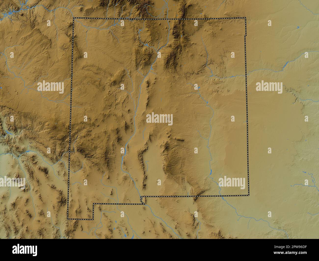 New Mexico, state of United States of America. Colored elevation map with lakes and rivers Stock Photohttps://www.alamy.com/image-license-details/?v=1https://www.alamy.com/new-mexico-state-of-united-states-of-america-colored-elevation-map-with-lakes-and-rivers-image546017179.html
RF2PM96DF–New Mexico, state of United States of America. Colored elevation map with lakes and rivers
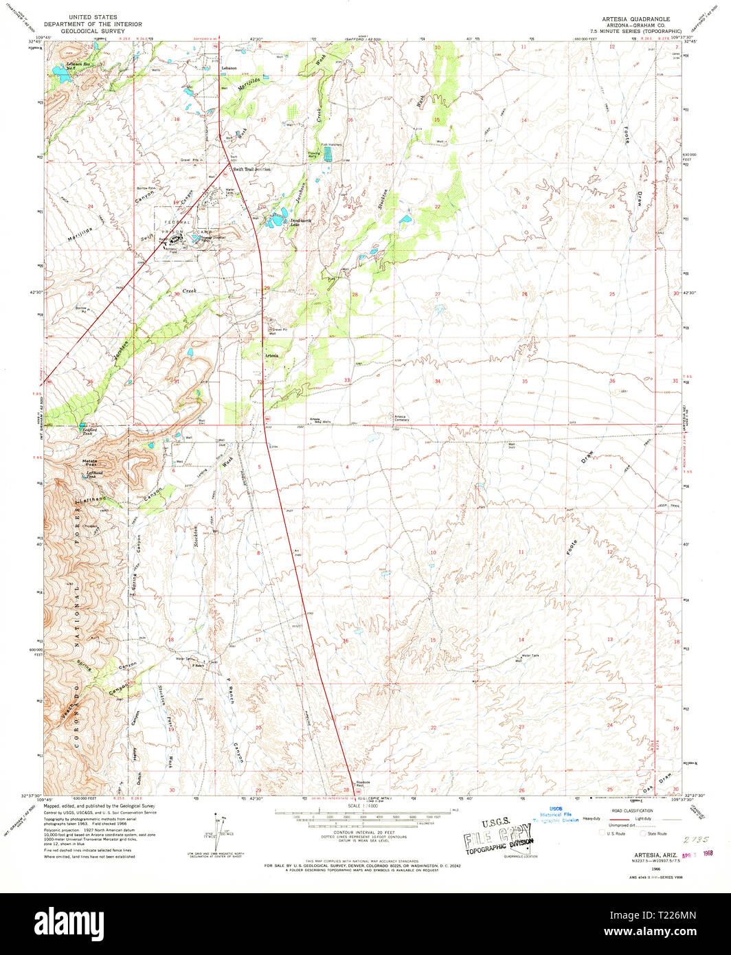 USGS TOPO Map Arizona AZ Artesia 310321 1966 24000 Restoration Stock Photohttps://www.alamy.com/image-license-details/?v=1https://www.alamy.com/usgs-topo-map-arizona-az-artesia-310321-1966-24000-restoration-image242223653.html
RMT226MN–USGS TOPO Map Arizona AZ Artesia 310321 1966 24000 Restoration
 Artesia, Los Angeles County, US, United States, California, N 33 51' 57'', S 118 4' 59'', map, Cartascapes Map published in 2024. Explore Cartascapes, a map revealing Earth's diverse landscapes, cultures, and ecosystems. Journey through time and space, discovering the interconnectedness of our planet's past, present, and future. Stock Photohttps://www.alamy.com/image-license-details/?v=1https://www.alamy.com/artesia-los-angeles-county-us-united-states-california-n-33-51-57-s-118-4-59-map-cartascapes-map-published-in-2024-explore-cartascapes-a-map-revealing-earths-diverse-landscapes-cultures-and-ecosystems-journey-through-time-and-space-discovering-the-interconnectedness-of-our-planets-past-present-and-future-image621261936.html
RM2Y2MWX8–Artesia, Los Angeles County, US, United States, California, N 33 51' 57'', S 118 4' 59'', map, Cartascapes Map published in 2024. Explore Cartascapes, a map revealing Earth's diverse landscapes, cultures, and ecosystems. Journey through time and space, discovering the interconnectedness of our planet's past, present, and future.
 Map of the area between Aire and Saint-Venant, 1710, 1710 print Map of the area of Artesia between Aire and Saint-Venant, both cities besieged by the Allies from September 1710. Northern Netherlands paper etching maps of separate countries or regions Saint-Venant. Aire-sur-la-Lys Stock Photohttps://www.alamy.com/image-license-details/?v=1https://www.alamy.com/map-of-the-area-between-aire-and-saint-venant-1710-1710-print-map-of-the-area-of-artesia-between-aire-and-saint-venant-both-cities-besieged-by-the-allies-from-september-1710-northern-netherlands-paper-etching-maps-of-separate-countries-or-regions-saint-venant-aire-sur-la-lys-image595201589.html
RM2WG9NKH–Map of the area between Aire and Saint-Venant, 1710, 1710 print Map of the area of Artesia between Aire and Saint-Venant, both cities besieged by the Allies from September 1710. Northern Netherlands paper etching maps of separate countries or regions Saint-Venant. Aire-sur-la-Lys
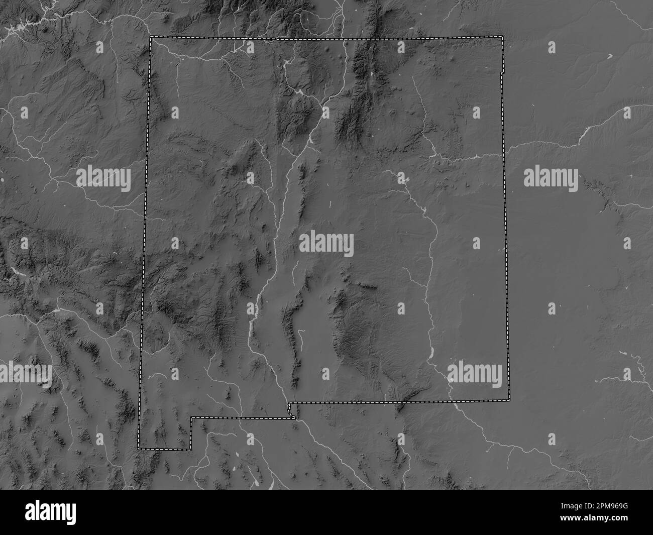 New Mexico, state of United States of America. Grayscale elevation map with lakes and rivers Stock Photohttps://www.alamy.com/image-license-details/?v=1https://www.alamy.com/new-mexico-state-of-united-states-of-america-grayscale-elevation-map-with-lakes-and-rivers-image546017068.html
RF2PM969G–New Mexico, state of United States of America. Grayscale elevation map with lakes and rivers
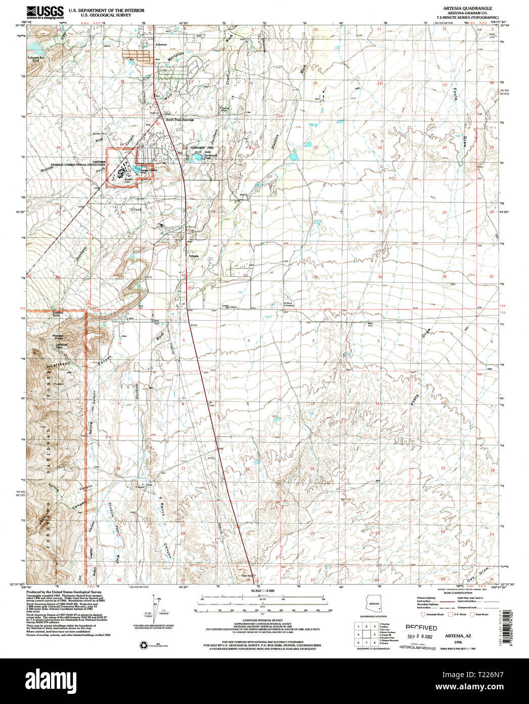 USGS TOPO Map Arizona AZ Artesia 310323 1996 24000 Restoration Stock Photohttps://www.alamy.com/image-license-details/?v=1https://www.alamy.com/usgs-topo-map-arizona-az-artesia-310323-1996-24000-restoration-image242223667.html
RMT226N7–USGS TOPO Map Arizona AZ Artesia 310323 1996 24000 Restoration
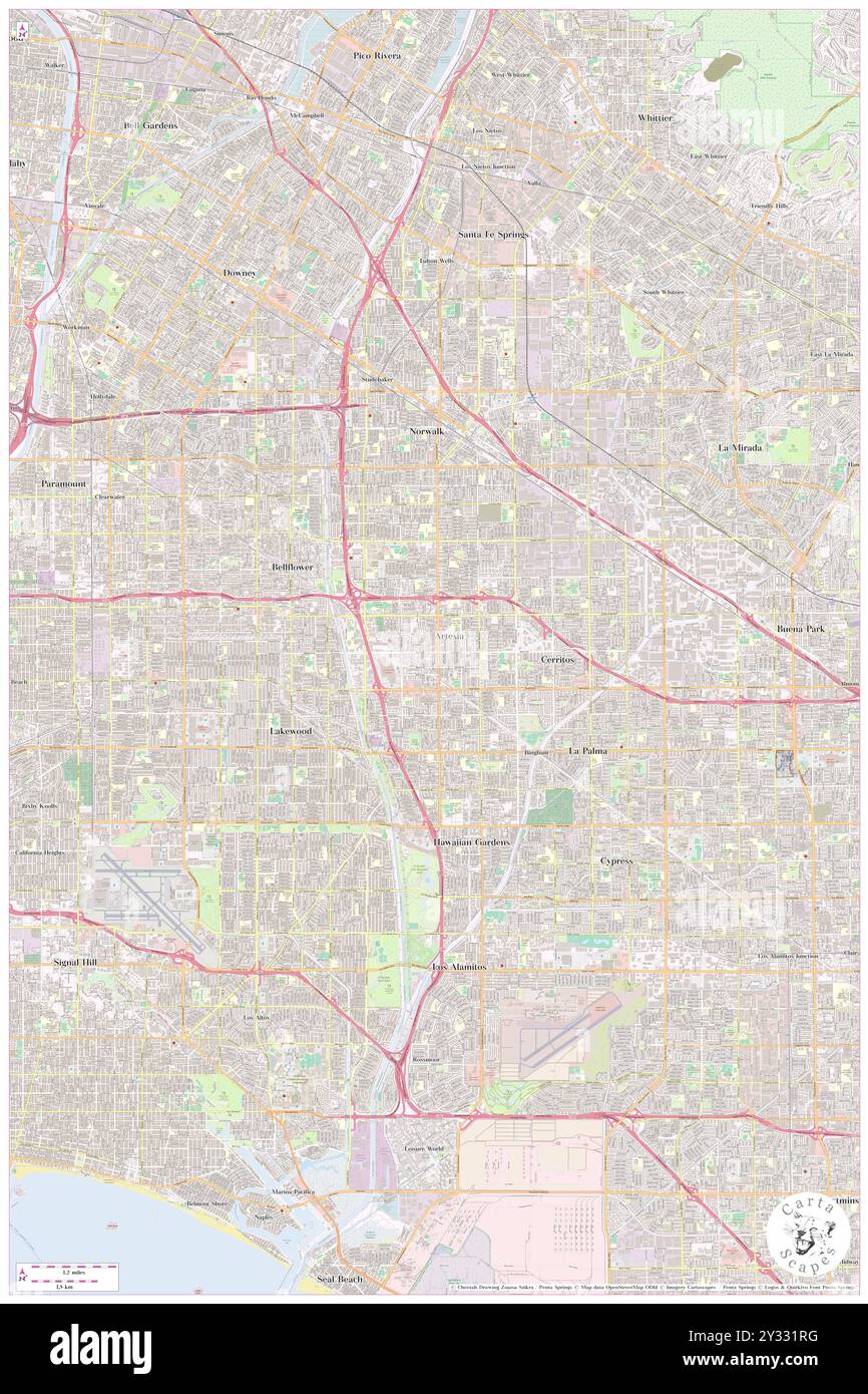 Artesia, Los Angeles County, US, United States, California, N 33 51' 57'', S 118 4' 59'', map, Cartascapes Map published in 2024. Explore Cartascapes, a map revealing Earth's diverse landscapes, cultures, and ecosystems. Journey through time and space, discovering the interconnectedness of our planet's past, present, and future. Stock Photohttps://www.alamy.com/image-license-details/?v=1https://www.alamy.com/artesia-los-angeles-county-us-united-states-california-n-33-51-57-s-118-4-59-map-cartascapes-map-published-in-2024-explore-cartascapes-a-map-revealing-earths-diverse-landscapes-cultures-and-ecosystems-journey-through-time-and-space-discovering-the-interconnectedness-of-our-planets-past-present-and-future-image621484516.html
RM2Y331RG–Artesia, Los Angeles County, US, United States, California, N 33 51' 57'', S 118 4' 59'', map, Cartascapes Map published in 2024. Explore Cartascapes, a map revealing Earth's diverse landscapes, cultures, and ecosystems. Journey through time and space, discovering the interconnectedness of our planet's past, present, and future.
 Map of the Graafschap Artesia, Joannes van Doetechum (II), 1612 - 1648 print Map of the county of Artesia. At the top right the title cartouche. Below, to the left of the middle, a cartouche with scale: 6 Scala Milliarium. Numbered in the bottom right: 79. paper engraving maps of separate countries or regions Artois Stock Photohttps://www.alamy.com/image-license-details/?v=1https://www.alamy.com/map-of-the-graafschap-artesia-joannes-van-doetechum-ii-1612-1648-print-map-of-the-county-of-artesia-at-the-top-right-the-title-cartouche-below-to-the-left-of-the-middle-a-cartouche-with-scale-6-scala-milliarium-numbered-in-the-bottom-right-79-paper-engraving-maps-of-separate-countries-or-regions-artois-image594139523.html
RM2WEHB0K–Map of the Graafschap Artesia, Joannes van Doetechum (II), 1612 - 1648 print Map of the county of Artesia. At the top right the title cartouche. Below, to the left of the middle, a cartouche with scale: 6 Scala Milliarium. Numbered in the bottom right: 79. paper engraving maps of separate countries or regions Artois
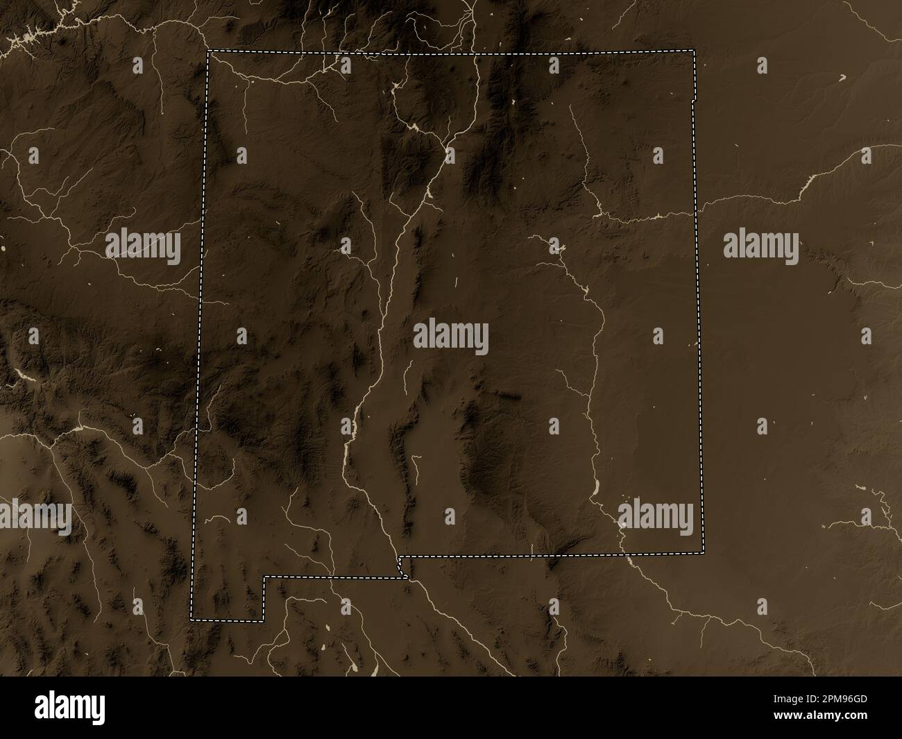 New Mexico, state of United States of America. Elevation map colored in sepia tones with lakes and rivers Stock Photohttps://www.alamy.com/image-license-details/?v=1https://www.alamy.com/new-mexico-state-of-united-states-of-america-elevation-map-colored-in-sepia-tones-with-lakes-and-rivers-image546017261.html
RF2PM96GD–New Mexico, state of United States of America. Elevation map colored in sepia tones with lakes and rivers
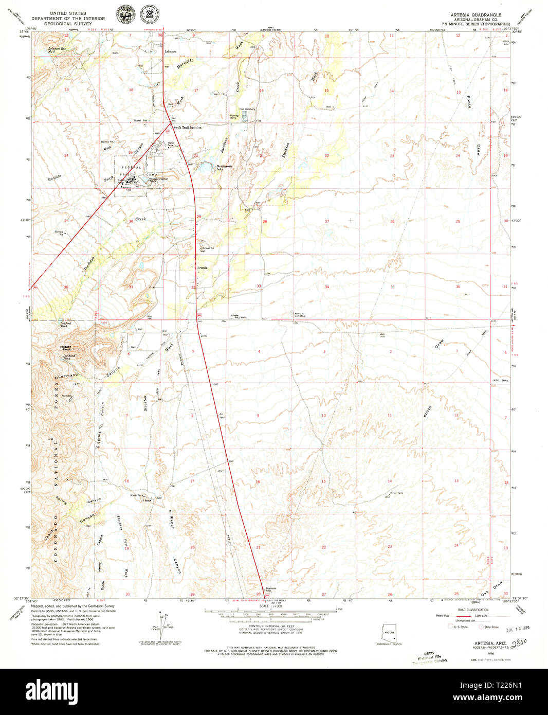 USGS TOPO Map Arizona AZ Artesia 310322 1966 24000 Restoration Stock Photohttps://www.alamy.com/image-license-details/?v=1https://www.alamy.com/usgs-topo-map-arizona-az-artesia-310322-1966-24000-restoration-image242223661.html
RMT226N1–USGS TOPO Map Arizona AZ Artesia 310322 1966 24000 Restoration
 Artesia, Eddy County, US, United States, New Mexico, N 32 50' 32'', S 104 24' 11'', map, Cartascapes Map published in 2024. Explore Cartascapes, a map revealing Earth's diverse landscapes, cultures, and ecosystems. Journey through time and space, discovering the interconnectedness of our planet's past, present, and future. Stock Photohttps://www.alamy.com/image-license-details/?v=1https://www.alamy.com/artesia-eddy-county-us-united-states-new-mexico-n-32-50-32-s-104-24-11-map-cartascapes-map-published-in-2024-explore-cartascapes-a-map-revealing-earths-diverse-landscapes-cultures-and-ecosystems-journey-through-time-and-space-discovering-the-interconnectedness-of-our-planets-past-present-and-future-image621318807.html
RM2Y2REDB–Artesia, Eddy County, US, United States, New Mexico, N 32 50' 32'', S 104 24' 11'', map, Cartascapes Map published in 2024. Explore Cartascapes, a map revealing Earth's diverse landscapes, cultures, and ecosystems. Journey through time and space, discovering the interconnectedness of our planet's past, present, and future.
 Map of the Graafschap Artesia, Anonymous, Henricus Hondius, 1633 - 1638 print Map of the Graafschap Artesia (Artois). Bottom left two scale sticks in a cartouche with two putti holding an obelisk. At the top right of the title cartouche with the coat of arms of the county. Amsterdam paper engraving / etching maps, atlases Artois. Artesia Stock Photohttps://www.alamy.com/image-license-details/?v=1https://www.alamy.com/map-of-the-graafschap-artesia-anonymous-henricus-hondius-1633-1638-print-map-of-the-graafschap-artesia-artois-bottom-left-two-scale-sticks-in-a-cartouche-with-two-putti-holding-an-obelisk-at-the-top-right-of-the-title-cartouche-with-the-coat-of-arms-of-the-county-amsterdam-paper-engraving-etching-maps-atlases-artois-artesia-image593213242.html
RM2WD35F6–Map of the Graafschap Artesia, Anonymous, Henricus Hondius, 1633 - 1638 print Map of the Graafschap Artesia (Artois). Bottom left two scale sticks in a cartouche with two putti holding an obelisk. At the top right of the title cartouche with the coat of arms of the county. Amsterdam paper engraving / etching maps, atlases Artois. Artesia
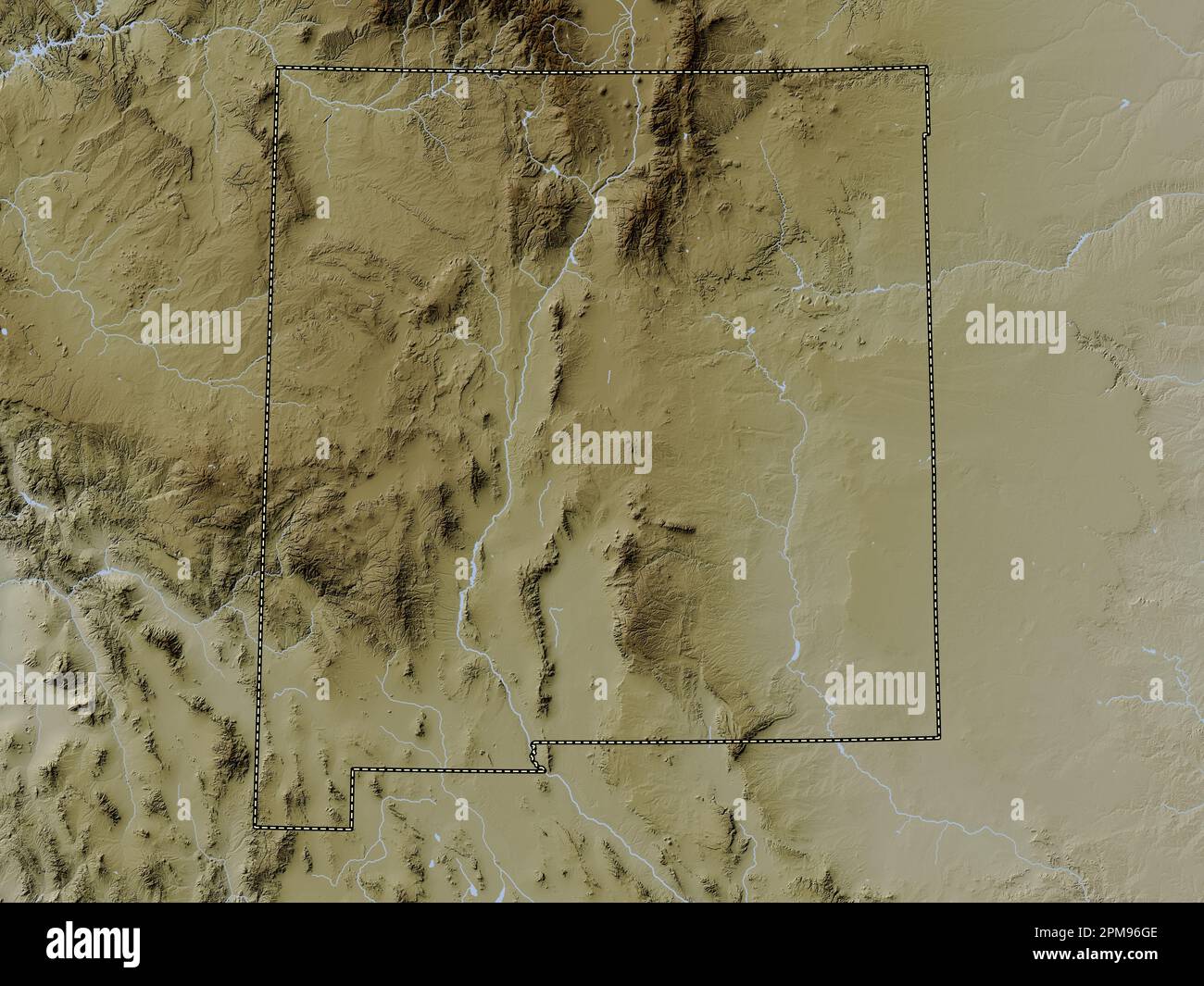 New Mexico, state of United States of America. Elevation map colored in wiki style with lakes and rivers Stock Photohttps://www.alamy.com/image-license-details/?v=1https://www.alamy.com/new-mexico-state-of-united-states-of-america-elevation-map-colored-in-wiki-style-with-lakes-and-rivers-image546017262.html
RF2PM96GE–New Mexico, state of United States of America. Elevation map colored in wiki style with lakes and rivers
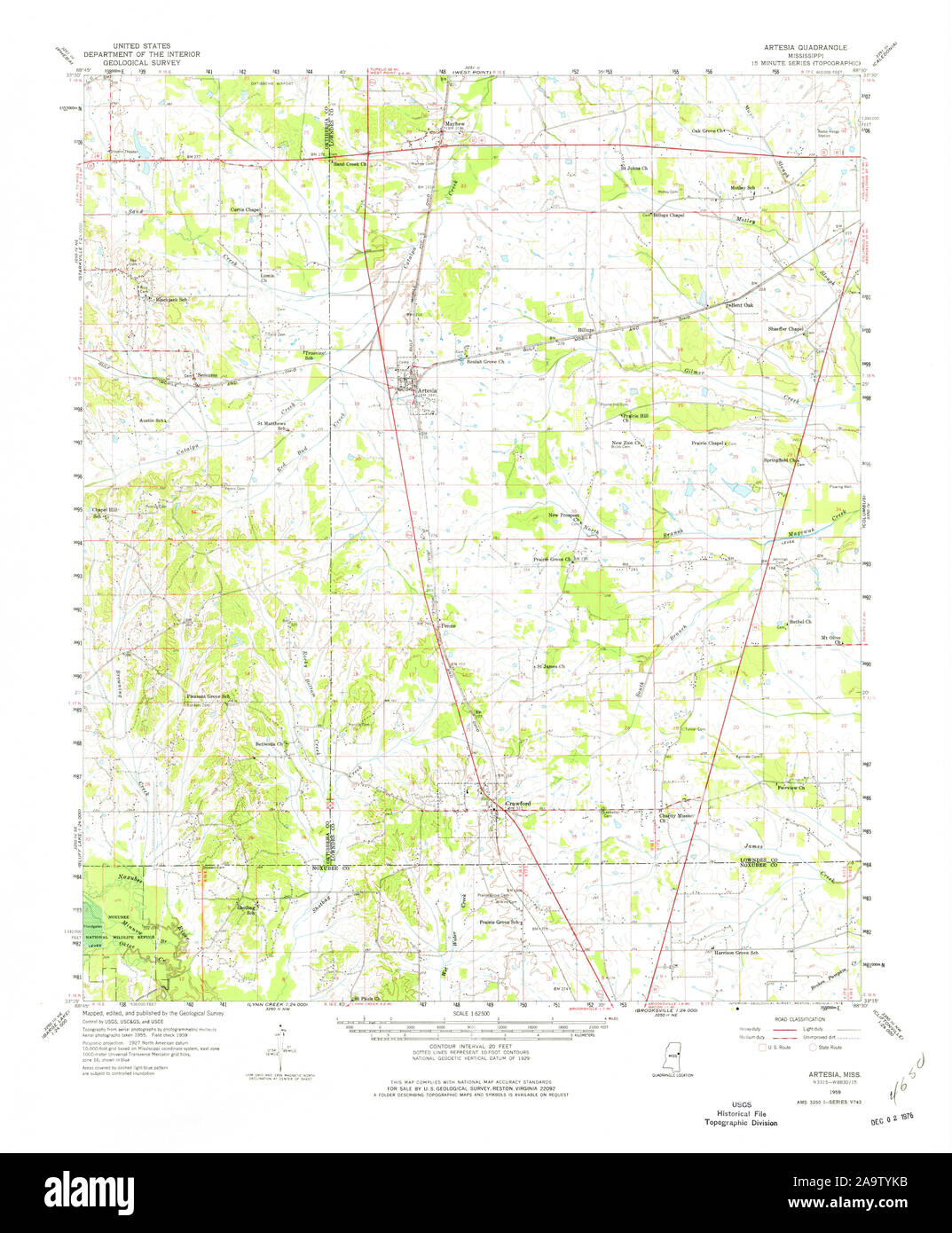 USGS TOPO Map Mississippi MS Artesia 336791 1959 62500 Restoration Stock Photohttps://www.alamy.com/image-license-details/?v=1https://www.alamy.com/usgs-topo-map-mississippi-ms-artesia-336791-1959-62500-restoration-image333077455.html
RM2A9TYKB–USGS TOPO Map Mississippi MS Artesia 336791 1959 62500 Restoration
 Artesia Beach, Fond du Lac County, US, United States, Wisconsin, N 43 56' 4'', S 88 18' 54'', map, Cartascapes Map published in 2024. Explore Cartascapes, a map revealing Earth's diverse landscapes, cultures, and ecosystems. Journey through time and space, discovering the interconnectedness of our planet's past, present, and future. Stock Photohttps://www.alamy.com/image-license-details/?v=1https://www.alamy.com/artesia-beach-fond-du-lac-county-us-united-states-wisconsin-n-43-56-4-s-88-18-54-map-cartascapes-map-published-in-2024-explore-cartascapes-a-map-revealing-earths-diverse-landscapes-cultures-and-ecosystems-journey-through-time-and-space-discovering-the-interconnectedness-of-our-planets-past-present-and-future-image621238342.html
RM2Y2KRRJ–Artesia Beach, Fond du Lac County, US, United States, Wisconsin, N 43 56' 4'', S 88 18' 54'', map, Cartascapes Map published in 2024. Explore Cartascapes, a map revealing Earth's diverse landscapes, cultures, and ecosystems. Journey through time and space, discovering the interconnectedness of our planet's past, present, and future.
 Map of Hesdin, Anonymous, 1652 print Map of Hesdin (Heusden) with buildings in a nutshell perspective. Above, in the middle, the title. At the top left the coat of arms of the county of Artesia. At the top right an empty coat of arms. With Dutch text on Verso. paper etching / engraving / letterpress printing maps of cities. fortified city. coat of arms (as symbol of the state, etc.) (+ province; provincial) Hesdin Stock Photohttps://www.alamy.com/image-license-details/?v=1https://www.alamy.com/map-of-hesdin-anonymous-1652-print-map-of-hesdin-heusden-with-buildings-in-a-nutshell-perspective-above-in-the-middle-the-title-at-the-top-left-the-coat-of-arms-of-the-county-of-artesia-at-the-top-right-an-empty-coat-of-arms-with-dutch-text-on-verso-paper-etching-engraving-letterpress-printing-maps-of-cities-fortified-city-coat-of-arms-as-symbol-of-the-state-etc-province-provincial-hesdin-image594192075.html
RM2WEKP1F–Map of Hesdin, Anonymous, 1652 print Map of Hesdin (Heusden) with buildings in a nutshell perspective. Above, in the middle, the title. At the top left the coat of arms of the county of Artesia. At the top right an empty coat of arms. With Dutch text on Verso. paper etching / engraving / letterpress printing maps of cities. fortified city. coat of arms (as symbol of the state, etc.) (+ province; provincial) Hesdin
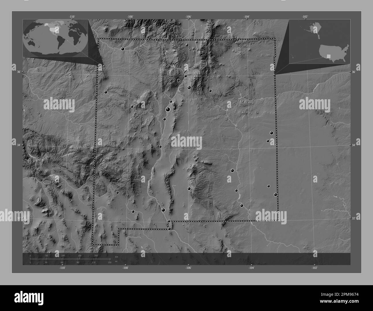 New Mexico, state of United States of America. Bilevel elevation map with lakes and rivers. Locations of major cities of the region. Corner auxiliary Stock Photohttps://www.alamy.com/image-license-details/?v=1https://www.alamy.com/new-mexico-state-of-united-states-of-america-bilevel-elevation-map-with-lakes-and-rivers-locations-of-major-cities-of-the-region-corner-auxiliary-image546017000.html
RF2PM9674–New Mexico, state of United States of America. Bilevel elevation map with lakes and rivers. Locations of major cities of the region. Corner auxiliary
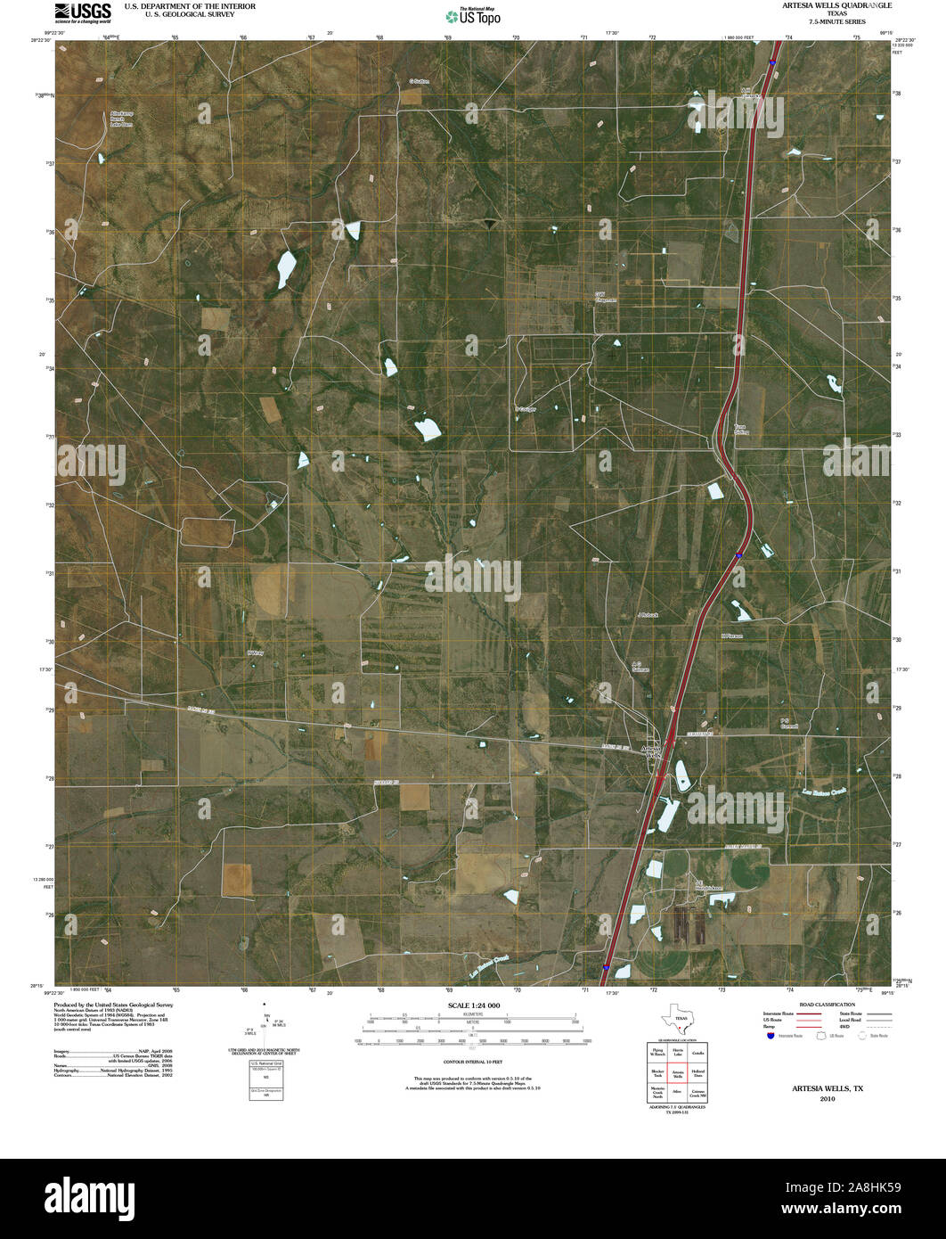 USGS TOPO Map Texas TX Artesia Wells 20100514 TM Restoration Stock Photohttps://www.alamy.com/image-license-details/?v=1https://www.alamy.com/usgs-topo-map-texas-tx-artesia-wells-20100514-tm-restoration-image332302469.html
RM2A8HK59–USGS TOPO Map Texas TX Artesia Wells 20100514 TM Restoration
 Artesia, Graham County, US, United States, Arizona, N 32 41' 53'', S 109 42' 27'', map, Cartascapes Map published in 2024. Explore Cartascapes, a map revealing Earth's diverse landscapes, cultures, and ecosystems. Journey through time and space, discovering the interconnectedness of our planet's past, present, and future. Stock Photohttps://www.alamy.com/image-license-details/?v=1https://www.alamy.com/artesia-graham-county-us-united-states-arizona-n-32-41-53-s-109-42-27-map-cartascapes-map-published-in-2024-explore-cartascapes-a-map-revealing-earths-diverse-landscapes-cultures-and-ecosystems-journey-through-time-and-space-discovering-the-interconnectedness-of-our-planets-past-present-and-future-image620874591.html
RM2Y237TF–Artesia, Graham County, US, United States, Arizona, N 32 41' 53'', S 109 42' 27'', map, Cartascapes Map published in 2024. Explore Cartascapes, a map revealing Earth's diverse landscapes, cultures, and ecosystems. Journey through time and space, discovering the interconnectedness of our planet's past, present, and future.
 Map of Sint-Omaars, Anonymous, 1652 print Map of Sint-Omaars with buildings in a nutshell perspective. At the bottom right the title cartouche. At the top left the coat of arms of the county of Artesia. At the top right an empty coat of arms. With Dutch text on Verso. paper etching / engraving / letterpress printing maps of cities. fortified city. coat of arms (as symbol of the state, etc.) (+ province; provincial) Saint-Omer Stock Photohttps://www.alamy.com/image-license-details/?v=1https://www.alamy.com/map-of-sint-omaars-anonymous-1652-print-map-of-sint-omaars-with-buildings-in-a-nutshell-perspective-at-the-bottom-right-the-title-cartouche-at-the-top-left-the-coat-of-arms-of-the-county-of-artesia-at-the-top-right-an-empty-coat-of-arms-with-dutch-text-on-verso-paper-etching-engraving-letterpress-printing-maps-of-cities-fortified-city-coat-of-arms-as-symbol-of-the-state-etc-province-provincial-saint-omer-image594196410.html
RM2WEKYGA–Map of Sint-Omaars, Anonymous, 1652 print Map of Sint-Omaars with buildings in a nutshell perspective. At the bottom right the title cartouche. At the top left the coat of arms of the county of Artesia. At the top right an empty coat of arms. With Dutch text on Verso. paper etching / engraving / letterpress printing maps of cities. fortified city. coat of arms (as symbol of the state, etc.) (+ province; provincial) Saint-Omer
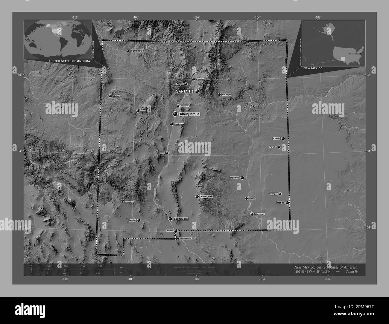 New Mexico, state of United States of America. Bilevel elevation map with lakes and rivers. Locations and names of major cities of the region. Corner Stock Photohttps://www.alamy.com/image-license-details/?v=1https://www.alamy.com/new-mexico-state-of-united-states-of-america-bilevel-elevation-map-with-lakes-and-rivers-locations-and-names-of-major-cities-of-the-region-corner-image546017020.html
RF2PM967T–New Mexico, state of United States of America. Bilevel elevation map with lakes and rivers. Locations and names of major cities of the region. Corner
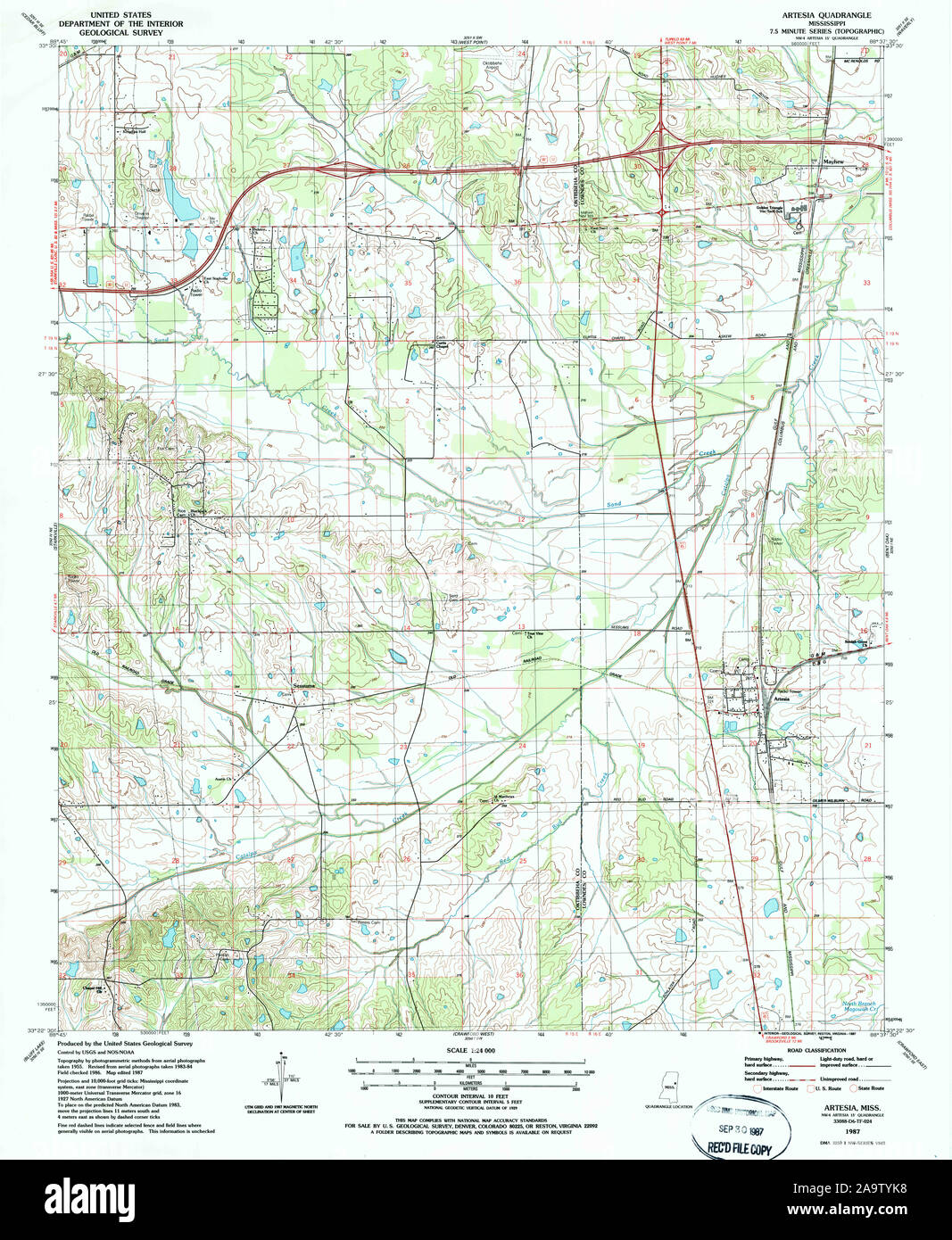 USGS TOPO Map Mississippi MS Artesia 335254 1987 24000 Restoration Stock Photohttps://www.alamy.com/image-license-details/?v=1https://www.alamy.com/usgs-topo-map-mississippi-ms-artesia-335254-1987-24000-restoration-image333077452.html
RM2A9TYK8–USGS TOPO Map Mississippi MS Artesia 335254 1987 24000 Restoration
 Artesia, Lowndes County, US, United States, Mississippi, N 33 24' 55'', S 88 38' 38'', map, Cartascapes Map published in 2024. Explore Cartascapes, a map revealing Earth's diverse landscapes, cultures, and ecosystems. Journey through time and space, discovering the interconnectedness of our planet's past, present, and future. Stock Photohttps://www.alamy.com/image-license-details/?v=1https://www.alamy.com/artesia-lowndes-county-us-united-states-mississippi-n-33-24-55-s-88-38-38-map-cartascapes-map-published-in-2024-explore-cartascapes-a-map-revealing-earths-diverse-landscapes-cultures-and-ecosystems-journey-through-time-and-space-discovering-the-interconnectedness-of-our-planets-past-present-and-future-image620884760.html
RM2Y23MRM–Artesia, Lowndes County, US, United States, Mississippi, N 33 24' 55'', S 88 38' 38'', map, Cartascapes Map published in 2024. Explore Cartascapes, a map revealing Earth's diverse landscapes, cultures, and ecosystems. Journey through time and space, discovering the interconnectedness of our planet's past, present, and future.
 Map of Arras, Anonymous, 1652 print Map of Arras (Atrecht) with buildings in a nutshell perspective. Above, in the middle, a frame with title. Bottom left a frame with legend 1-16. At the top left the coat of arms of the county of Artesia. With Dutch text on Verso. paper etching / engraving / letterpress printing maps of cities. fortified city. coat of arms (as symbol of the state, etc.) (+ province; provincial) Arras Stock Photohttps://www.alamy.com/image-license-details/?v=1https://www.alamy.com/map-of-arras-anonymous-1652-print-map-of-arras-atrecht-with-buildings-in-a-nutshell-perspective-above-in-the-middle-a-frame-with-title-bottom-left-a-frame-with-legend-1-16-at-the-top-left-the-coat-of-arms-of-the-county-of-artesia-with-dutch-text-on-verso-paper-etching-engraving-letterpress-printing-maps-of-cities-fortified-city-coat-of-arms-as-symbol-of-the-state-etc-province-provincial-arras-image594225562.html
RM2WEN8NE–Map of Arras, Anonymous, 1652 print Map of Arras (Atrecht) with buildings in a nutshell perspective. Above, in the middle, a frame with title. Bottom left a frame with legend 1-16. At the top left the coat of arms of the county of Artesia. With Dutch text on Verso. paper etching / engraving / letterpress printing maps of cities. fortified city. coat of arms (as symbol of the state, etc.) (+ province; provincial) Arras
 New Mexico, state of United States of America. Open Street Map. Locations of major cities of the region. Corner auxiliary location maps Stock Photohttps://www.alamy.com/image-license-details/?v=1https://www.alamy.com/new-mexico-state-of-united-states-of-america-open-street-map-locations-of-major-cities-of-the-region-corner-auxiliary-location-maps-image546017119.html
RF2PM96BB–New Mexico, state of United States of America. Open Street Map. Locations of major cities of the region. Corner auxiliary location maps
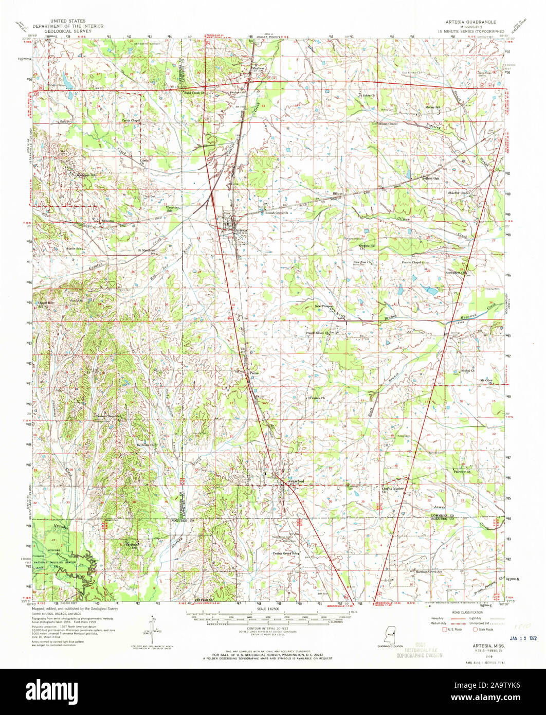 USGS TOPO Map Mississippi MS Artesia 336792 1959 62500 Restoration Stock Photohttps://www.alamy.com/image-license-details/?v=1https://www.alamy.com/usgs-topo-map-mississippi-ms-artesia-336792-1959-62500-restoration-image333077450.html
RM2A9TYK6–USGS TOPO Map Mississippi MS Artesia 336792 1959 62500 Restoration
 Artesia, Columbus County, US, United States, North Carolina, N 34 19' 20'', S 78 34' 30'', map, Cartascapes Map published in 2024. Explore Cartascapes, a map revealing Earth's diverse landscapes, cultures, and ecosystems. Journey through time and space, discovering the interconnectedness of our planet's past, present, and future. Stock Photohttps://www.alamy.com/image-license-details/?v=1https://www.alamy.com/artesia-columbus-county-us-united-states-north-carolina-n-34-19-20-s-78-34-30-map-cartascapes-map-published-in-2024-explore-cartascapes-a-map-revealing-earths-diverse-landscapes-cultures-and-ecosystems-journey-through-time-and-space-discovering-the-interconnectedness-of-our-planets-past-present-and-future-image620744065.html
RM2Y1W9AW–Artesia, Columbus County, US, United States, North Carolina, N 34 19' 20'', S 78 34' 30'', map, Cartascapes Map published in 2024. Explore Cartascapes, a map revealing Earth's diverse landscapes, cultures, and ecosystems. Journey through time and space, discovering the interconnectedness of our planet's past, present, and future.
 Map of the Graafschap Artesia, Anonymous, 1700 print Map of the county of Artesia. At the top right the title cartouche. At the top left a cartouche with five scale sticks: 10 Milles pass Geometriques ou Milles d'Italie / 2 Lieues Communes Dallemagne / 2 Grandes Lieues d'Altemagne and two others. Below a legend. The card is equipped with a degree distribution along the edges. paper engraving / etching maps of separate countries or regions Artois Stock Photohttps://www.alamy.com/image-license-details/?v=1https://www.alamy.com/map-of-the-graafschap-artesia-anonymous-1700-print-map-of-the-county-of-artesia-at-the-top-right-the-title-cartouche-at-the-top-left-a-cartouche-with-five-scale-sticks-10-milles-pass-geometriques-ou-milles-ditalie-2-lieues-communes-dallemagne-2-grandes-lieues-daltemagne-and-two-others-below-a-legend-the-card-is-equipped-with-a-degree-distribution-along-the-edges-paper-engraving-etching-maps-of-separate-countries-or-regions-artois-image594231314.html
RM2WENG2X–Map of the Graafschap Artesia, Anonymous, 1700 print Map of the county of Artesia. At the top right the title cartouche. At the top left a cartouche with five scale sticks: 10 Milles pass Geometriques ou Milles d'Italie / 2 Lieues Communes Dallemagne / 2 Grandes Lieues d'Altemagne and two others. Below a legend. The card is equipped with a degree distribution along the edges. paper engraving / etching maps of separate countries or regions Artois
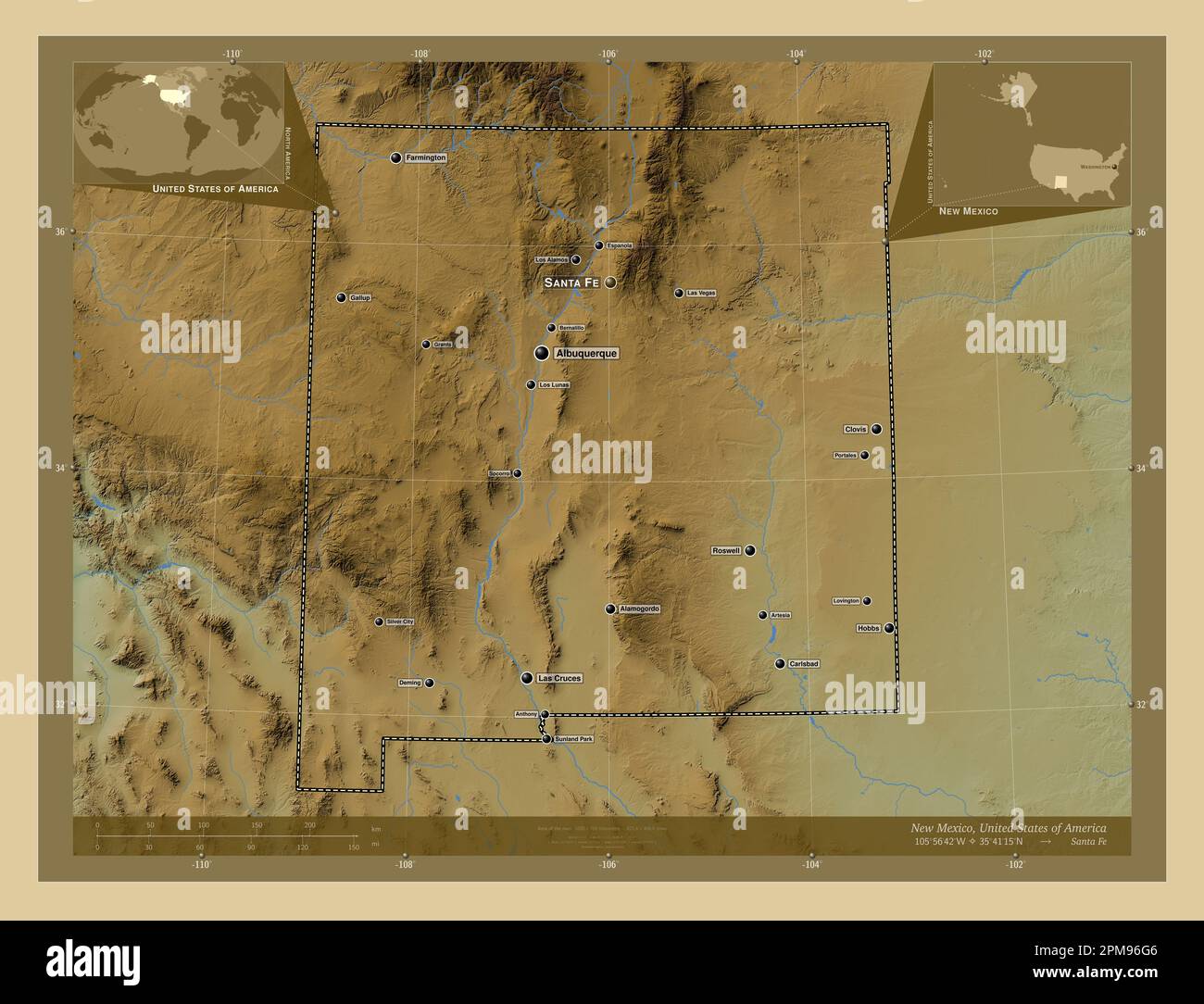 New Mexico, state of United States of America. Colored elevation map with lakes and rivers. Locations and names of major cities of the region. Corner Stock Photohttps://www.alamy.com/image-license-details/?v=1https://www.alamy.com/new-mexico-state-of-united-states-of-america-colored-elevation-map-with-lakes-and-rivers-locations-and-names-of-major-cities-of-the-region-corner-image546017254.html
RF2PM96G6–New Mexico, state of United States of America. Colored elevation map with lakes and rivers. Locations and names of major cities of the region. Corner
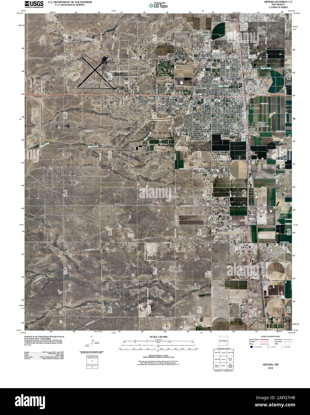 USGS TOPO Map New Mexico NM Artesia 20100915 TM Restoration Stock Photohttps://www.alamy.com/image-license-details/?v=1https://www.alamy.com/usgs-topo-map-new-mexico-nm-artesia-20100915-tm-restoration-image336574039.html
RM2AFG7HB–USGS TOPO Map New Mexico NM Artesia 20100915 TM Restoration
 Artesia, Eddy County, US, United States, New Mexico, N 32 50' 32'', S 104 24' 11'', map, Cartascapes Map published in 2024. Explore Cartascapes, a map revealing Earth's diverse landscapes, cultures, and ecosystems. Journey through time and space, discovering the interconnectedness of our planet's past, present, and future. Stock Photohttps://www.alamy.com/image-license-details/?v=1https://www.alamy.com/artesia-eddy-county-us-united-states-new-mexico-n-32-50-32-s-104-24-11-map-cartascapes-map-published-in-2024-explore-cartascapes-a-map-revealing-earths-diverse-landscapes-cultures-and-ecosystems-journey-through-time-and-space-discovering-the-interconnectedness-of-our-planets-past-present-and-future-image620845755.html
RM2Y21Y2K–Artesia, Eddy County, US, United States, New Mexico, N 32 50' 32'', S 104 24' 11'', map, Cartascapes Map published in 2024. Explore Cartascapes, a map revealing Earth's diverse landscapes, cultures, and ecosystems. Journey through time and space, discovering the interconnectedness of our planet's past, present, and future.
 Map of the Graafschap Artesia, Luggert van Anse, 1690 - 1732 print Map of the county of Artesia. At the top right a title cartouche with the coat of arms of the county of Artesia at the top. Another title above the card. At the top left three scale sticks: Lieües Communes d'Altemagne / 3 Lieües Communes de France / Quatre Lieües d'Artois. The map is equipped with a coordinates network and a degree distribution along the edges. paper engraving / etching maps of separate countries or regions. bird hunting Artois Stock Photohttps://www.alamy.com/image-license-details/?v=1https://www.alamy.com/map-of-the-graafschap-artesia-luggert-van-anse-1690-1732-print-map-of-the-county-of-artesia-at-the-top-right-a-title-cartouche-with-the-coat-of-arms-of-the-county-of-artesia-at-the-top-another-title-above-the-card-at-the-top-left-three-scale-sticks-liees-communes-daltemagne-3-liees-communes-de-france-quatre-liees-dartois-the-map-is-equipped-with-a-coordinates-network-and-a-degree-distribution-along-the-edges-paper-engraving-etching-maps-of-separate-countries-or-regions-bird-hunting-artois-image594238976.html
RM2WENWTG–Map of the Graafschap Artesia, Luggert van Anse, 1690 - 1732 print Map of the county of Artesia. At the top right a title cartouche with the coat of arms of the county of Artesia at the top. Another title above the card. At the top left three scale sticks: Lieües Communes d'Altemagne / 3 Lieües Communes de France / Quatre Lieües d'Artois. The map is equipped with a coordinates network and a degree distribution along the edges. paper engraving / etching maps of separate countries or regions. bird hunting Artois
 New Mexico, state of United States of America. Grayscale elevation map with lakes and rivers. Locations and names of major cities of the region. Corne Stock Photohttps://www.alamy.com/image-license-details/?v=1https://www.alamy.com/new-mexico-state-of-united-states-of-america-grayscale-elevation-map-with-lakes-and-rivers-locations-and-names-of-major-cities-of-the-region-corne-image546017070.html
RF2PM969J–New Mexico, state of United States of America. Grayscale elevation map with lakes and rivers. Locations and names of major cities of the region. Corne
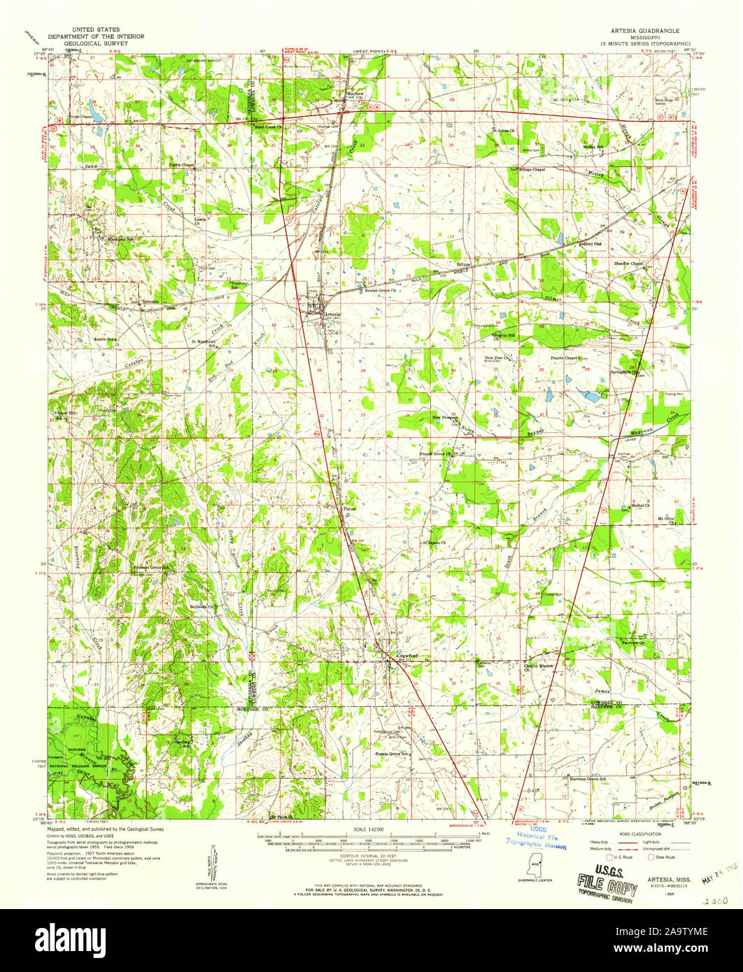 USGS TOPO Map Mississippi MS Artesia 336793 1959 62500 Restoration Stock Photohttps://www.alamy.com/image-license-details/?v=1https://www.alamy.com/usgs-topo-map-mississippi-ms-artesia-336793-1959-62500-restoration-image333077486.html
RM2A9TYME–USGS TOPO Map Mississippi MS Artesia 336793 1959 62500 Restoration
 Artesia Wells, La Salle County, US, United States, Texas, N 28 16' 48'', S 99 17' 4'', map, Cartascapes Map published in 2024. Explore Cartascapes, a map revealing Earth's diverse landscapes, cultures, and ecosystems. Journey through time and space, discovering the interconnectedness of our planet's past, present, and future. Stock Photohttps://www.alamy.com/image-license-details/?v=1https://www.alamy.com/artesia-wells-la-salle-county-us-united-states-texas-n-28-16-48-s-99-17-4-map-cartascapes-map-published-in-2024-explore-cartascapes-a-map-revealing-earths-diverse-landscapes-cultures-and-ecosystems-journey-through-time-and-space-discovering-the-interconnectedness-of-our-planets-past-present-and-future-image620738003.html
RM2Y1W1JB–Artesia Wells, La Salle County, US, United States, Texas, N 28 16' 48'', S 99 17' 4'', map, Cartascapes Map published in 2024. Explore Cartascapes, a map revealing Earth's diverse landscapes, cultures, and ecosystems. Journey through time and space, discovering the interconnectedness of our planet's past, present, and future.
 Map of the siege of Heusden by the French, 1639, Anonymous, 1652 print Map of the siege of Hesdin (Heusden) by the French. Map with the city in the middle, around the positions of the besieging troops. Bottom left the title cartouche with four putti. At the top right a cartouche with assignment. At the top left the coat of arms of the county of Artesia, with the right of it probably the coat of arms of Charles de la Porte and an empty coat of arms. With Dutch text on Verso. paper etching maps of separate countries or regions. siege, position war. fortified city. armorial bearing, heraldry Hes Stock Photohttps://www.alamy.com/image-license-details/?v=1https://www.alamy.com/map-of-the-siege-of-heusden-by-the-french-1639-anonymous-1652-print-map-of-the-siege-of-hesdin-heusden-by-the-french-map-with-the-city-in-the-middle-around-the-positions-of-the-besieging-troops-bottom-left-the-title-cartouche-with-four-putti-at-the-top-right-a-cartouche-with-assignment-at-the-top-left-the-coat-of-arms-of-the-county-of-artesia-with-the-right-of-it-probably-the-coat-of-arms-of-charles-de-la-porte-and-an-empty-coat-of-arms-with-dutch-text-on-verso-paper-etching-maps-of-separate-countries-or-regions-siege-position-war-fortified-city-armorial-bearing-heraldry-hes-image594206553.html
RM2WEMCEH–Map of the siege of Heusden by the French, 1639, Anonymous, 1652 print Map of the siege of Hesdin (Heusden) by the French. Map with the city in the middle, around the positions of the besieging troops. Bottom left the title cartouche with four putti. At the top right a cartouche with assignment. At the top left the coat of arms of the county of Artesia, with the right of it probably the coat of arms of Charles de la Porte and an empty coat of arms. With Dutch text on Verso. paper etching maps of separate countries or regions. siege, position war. fortified city. armorial bearing, heraldry Hes
 New Mexico, state of United States of America. Colored elevation map with lakes and rivers. Locations of major cities of the region. Corner auxiliary Stock Photohttps://www.alamy.com/image-license-details/?v=1https://www.alamy.com/new-mexico-state-of-united-states-of-america-colored-elevation-map-with-lakes-and-rivers-locations-of-major-cities-of-the-region-corner-auxiliary-image546017187.html
RF2PM96DR–New Mexico, state of United States of America. Colored elevation map with lakes and rivers. Locations of major cities of the region. Corner auxiliary
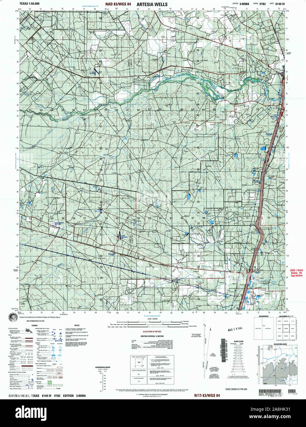 USGS TOPO Map Texas TX Artesia 121771 2001 50000 Restoration Stock Photohttps://www.alamy.com/image-license-details/?v=1https://www.alamy.com/usgs-topo-map-texas-tx-artesia-121771-2001-50000-restoration-image332302405.html
RM2A8HK31–USGS TOPO Map Texas TX Artesia 121771 2001 50000 Restoration
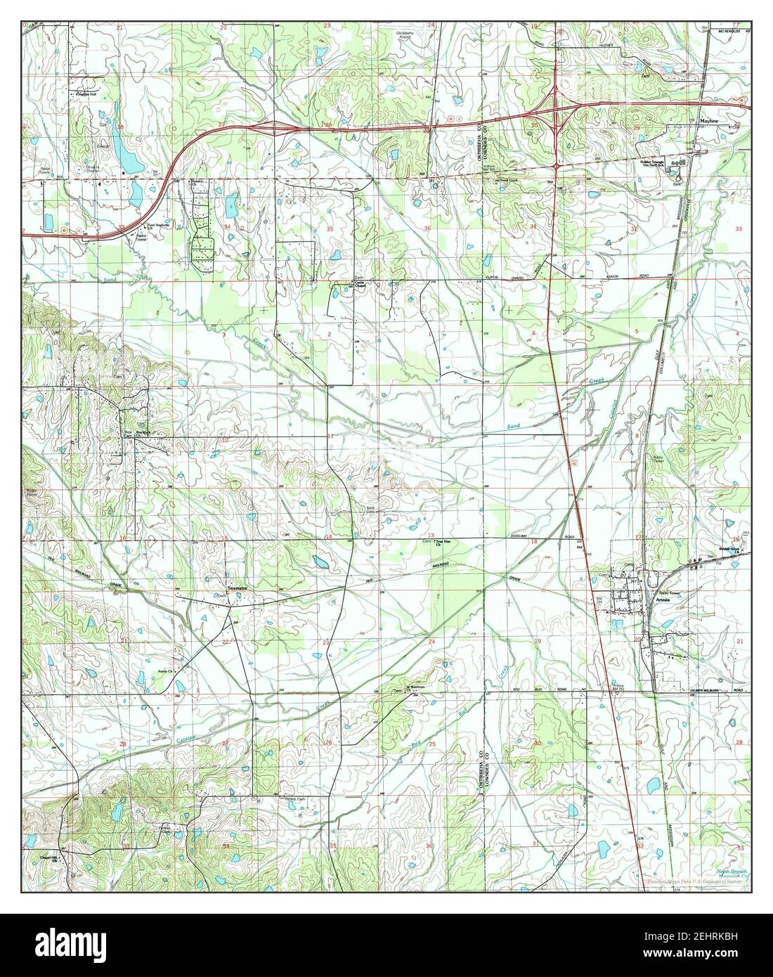 Artesia, Mississippi, map 1987, 1:24000, United States of America by Timeless Maps, data U.S. Geological Survey Stock Photohttps://www.alamy.com/image-license-details/?v=1https://www.alamy.com/artesia-mississippi-map-1987-124000-united-states-of-america-by-timeless-maps-data-us-geological-survey-image406807733.html
RM2EHRKBH–Artesia, Mississippi, map 1987, 1:24000, United States of America by Timeless Maps, data U.S. Geological Survey
 Map of the Graafschap Artesia, Anonymous, 1677 - 1720 print Map of the county of Artesia. On the left the title cartouche with six putti. Below three scale sticks: Echelle de Cinq Lieües d'Artois Chacune de 2250 Toises de Paris / 3 Lieües Communes d'Altemagne / 4 Grandes Lieües de France, ou d'une heure de Chemin. Below a list with information about the county. The map is equipped with a coordinates network and a degree distribution along the edges. paper etching / engraving maps of separate countries or regions Artois Stock Photohttps://www.alamy.com/image-license-details/?v=1https://www.alamy.com/map-of-the-graafschap-artesia-anonymous-1677-1720-print-map-of-the-county-of-artesia-on-the-left-the-title-cartouche-with-six-putti-below-three-scale-sticks-echelle-de-cinq-liees-dartois-chacune-de-2250-toises-de-paris-3-liees-communes-daltemagne-4-grandes-liees-de-france-ou-dune-heure-de-chemin-below-a-list-with-information-about-the-county-the-map-is-equipped-with-a-coordinates-network-and-a-degree-distribution-along-the-edges-paper-etching-engraving-maps-of-separate-countries-or-regions-artois-image594278642.html
RM2WERMD6–Map of the Graafschap Artesia, Anonymous, 1677 - 1720 print Map of the county of Artesia. On the left the title cartouche with six putti. Below three scale sticks: Echelle de Cinq Lieües d'Artois Chacune de 2250 Toises de Paris / 3 Lieües Communes d'Altemagne / 4 Grandes Lieües de France, ou d'une heure de Chemin. Below a list with information about the county. The map is equipped with a coordinates network and a degree distribution along the edges. paper etching / engraving maps of separate countries or regions Artois
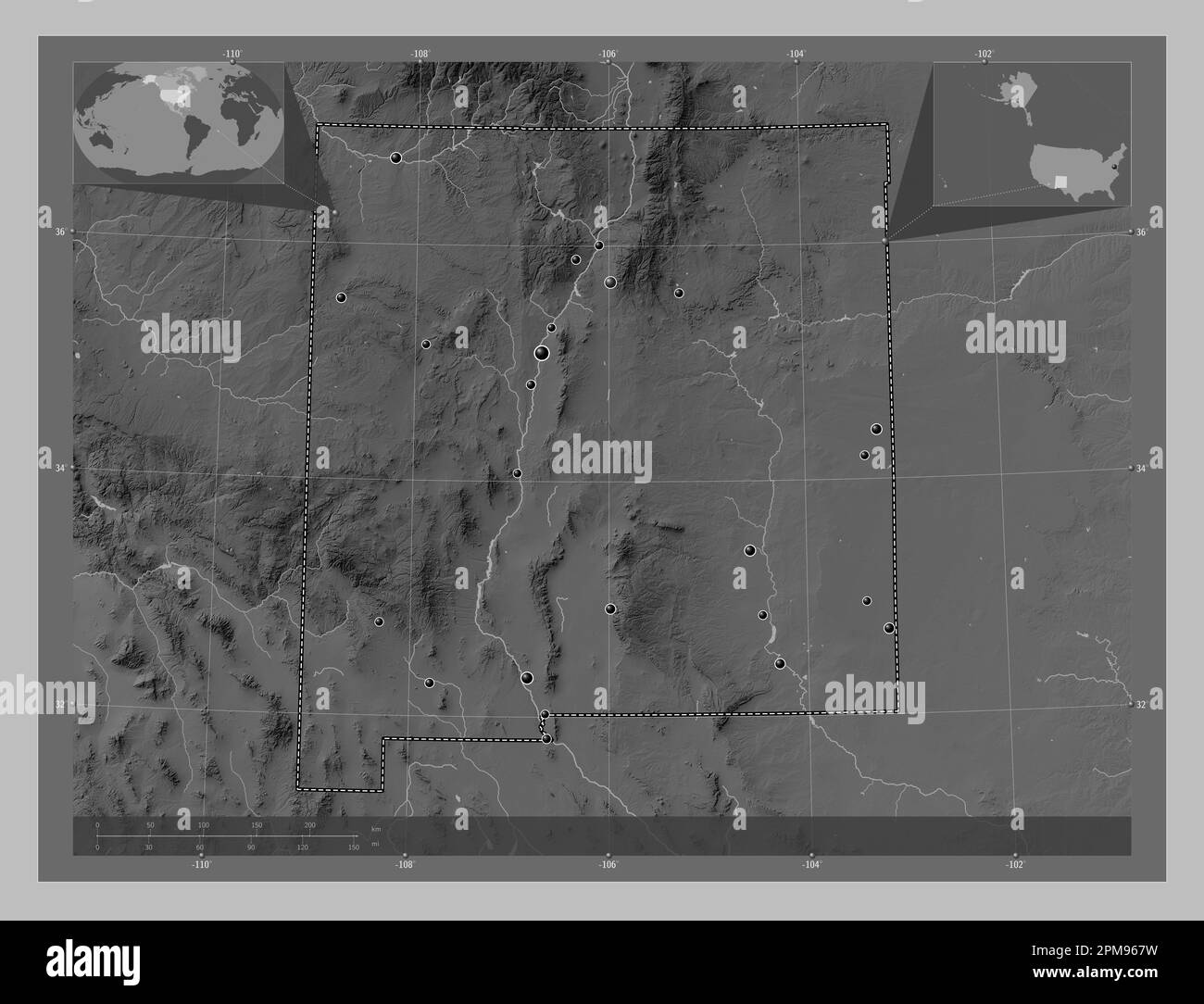 New Mexico, state of United States of America. Grayscale elevation map with lakes and rivers. Locations of major cities of the region. Corner auxiliar Stock Photohttps://www.alamy.com/image-license-details/?v=1https://www.alamy.com/new-mexico-state-of-united-states-of-america-grayscale-elevation-map-with-lakes-and-rivers-locations-of-major-cities-of-the-region-corner-auxiliar-image546017021.html
RF2PM967W–New Mexico, state of United States of America. Grayscale elevation map with lakes and rivers. Locations of major cities of the region. Corner auxiliar
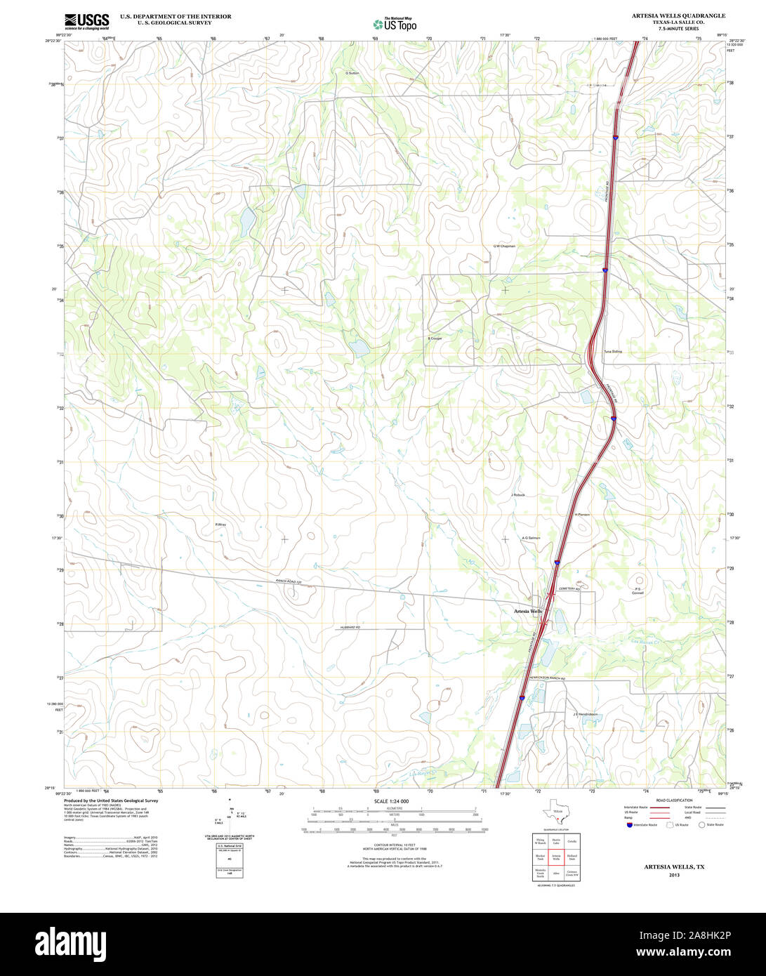 USGS TOPO Map Texas TX Artesia Wells 20130103 TM Restoration Stock Photohttps://www.alamy.com/image-license-details/?v=1https://www.alamy.com/usgs-topo-map-texas-tx-artesia-wells-20130103-tm-restoration-image332302398.html
RM2A8HK2P–USGS TOPO Map Texas TX Artesia Wells 20130103 TM Restoration
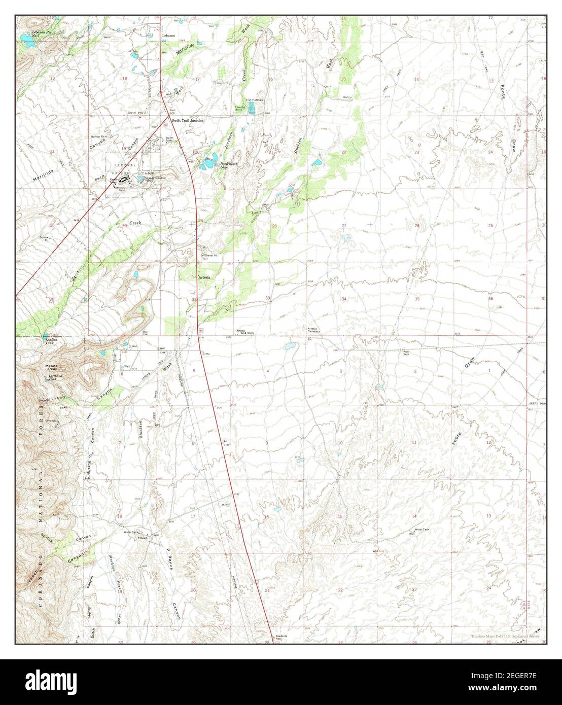 Artesia, Arizona, map 1966, 1:24000, United States of America by Timeless Maps, data U.S. Geological Survey Stock Photohttps://www.alamy.com/image-license-details/?v=1https://www.alamy.com/artesia-arizona-map-1966-124000-united-states-of-america-by-timeless-maps-data-us-geological-survey-image405998530.html
RM2EGER7E–Artesia, Arizona, map 1966, 1:24000, United States of America by Timeless Maps, data U.S. Geological Survey
 Map of Artesia, Anonymous, 1735 Map of the county of Artesia, below a small face on Arras. Part of an atlas with 223 maps of countries and cities and war scenes in Europe in the period ca. 1690-1735. print maker: Northern Netherlandspublisher: Amsterdampublisher: Amsterdam paper etching / engraving / lacquering Artesia. Arras Map of the county of Artesia, below a small face on Arras. Part of an atlas with 223 maps of countries and cities and war scenes in Europe in the period ca. 1690-1735. print maker: Northern Netherlandspublisher: Amsterdampublisher: Amsterdam paper etching / engraving / l Stock Photohttps://www.alamy.com/image-license-details/?v=1https://www.alamy.com/map-of-artesia-anonymous-1735-map-of-the-county-of-artesia-below-a-small-face-on-arras-part-of-an-atlas-with-223-maps-of-countries-and-cities-and-war-scenes-in-europe-in-the-period-ca-1690-1735-print-maker-northern-netherlandspublisher-amsterdampublisher-amsterdam-paper-etching-engraving-lacquering-artesia-arras-map-of-the-county-of-artesia-below-a-small-face-on-arras-part-of-an-atlas-with-223-maps-of-countries-and-cities-and-war-scenes-in-europe-in-the-period-ca-1690-1735-print-maker-northern-netherlandspublisher-amsterdampublisher-amsterdam-paper-etching-engraving-l-image576357833.html
RM2TDKA89–Map of Artesia, Anonymous, 1735 Map of the county of Artesia, below a small face on Arras. Part of an atlas with 223 maps of countries and cities and war scenes in Europe in the period ca. 1690-1735. print maker: Northern Netherlandspublisher: Amsterdampublisher: Amsterdam paper etching / engraving / lacquering Artesia. Arras Map of the county of Artesia, below a small face on Arras. Part of an atlas with 223 maps of countries and cities and war scenes in Europe in the period ca. 1690-1735. print maker: Northern Netherlandspublisher: Amsterdampublisher: Amsterdam paper etching / engraving / l
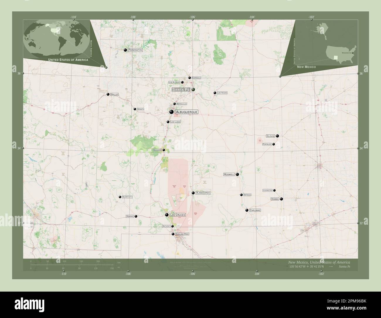 New Mexico, state of United States of America. Open Street Map. Locations and names of major cities of the region. Corner auxiliary location maps Stock Photohttps://www.alamy.com/image-license-details/?v=1https://www.alamy.com/new-mexico-state-of-united-states-of-america-open-street-map-locations-and-names-of-major-cities-of-the-region-corner-auxiliary-location-maps-image546017127.html
RF2PM96BK–New Mexico, state of United States of America. Open Street Map. Locations and names of major cities of the region. Corner auxiliary location maps
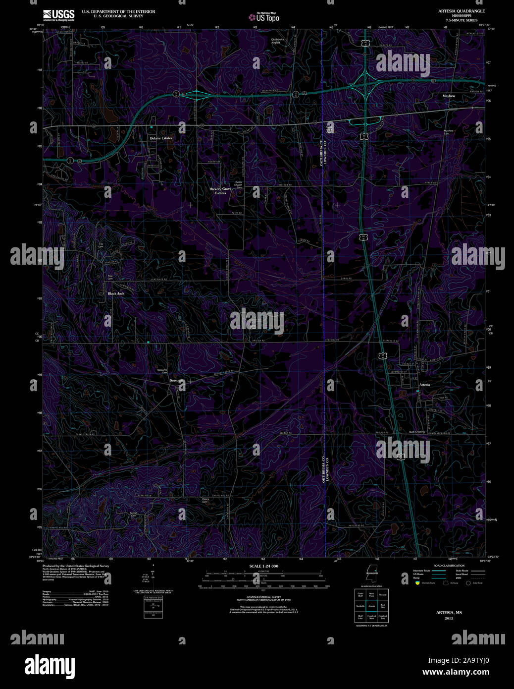 USGS TOPO Map Mississippi MS Artesia 20120326 TM Inverted Restoration Stock Photohttps://www.alamy.com/image-license-details/?v=1https://www.alamy.com/usgs-topo-map-mississippi-ms-artesia-20120326-tm-inverted-restoration-image333077416.html
RM2A9TYJ0–USGS TOPO Map Mississippi MS Artesia 20120326 TM Inverted Restoration
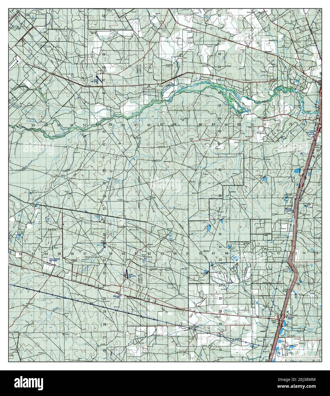 Artesia, Texas, map 2001, 1:50000, United States of America by Timeless Maps, data U.S. Geological Survey Stock Photohttps://www.alamy.com/image-license-details/?v=1https://www.alamy.com/artesia-texas-map-2001-150000-united-states-of-america-by-timeless-maps-data-us-geological-survey-image406974980.html
RM2EJ38MM–Artesia, Texas, map 2001, 1:50000, United States of America by Timeless Maps, data U.S. Geological Survey
![Veuë de la Ville de Bethune en Artois = Prospectus Urbis Bethunæ in Artesia. Author Boudewyns, Adriaen Frans 58.83.a. Place of publication: [Paris] Publisher: [Sebastien Mabre-Cramoisy, Imprimerie Royale] Date of publication: [between 1670 and 1679] Item type: 1 print Medium: etching, printed on two sheets Dimensions: sheet 49.2 x 132.5 cm (trimmed) Former owner: George III, King of Great Britain, 1738-1820 Stock Photo Veuë de la Ville de Bethune en Artois = Prospectus Urbis Bethunæ in Artesia. Author Boudewyns, Adriaen Frans 58.83.a. Place of publication: [Paris] Publisher: [Sebastien Mabre-Cramoisy, Imprimerie Royale] Date of publication: [between 1670 and 1679] Item type: 1 print Medium: etching, printed on two sheets Dimensions: sheet 49.2 x 132.5 cm (trimmed) Former owner: George III, King of Great Britain, 1738-1820 Stock Photo](https://c8.alamy.com/comp/2E9F8GF/veue-de-la-ville-de-bethune-en-artois-=-prospectus-urbis-bethun-in-artesia-author-boudewyns-adriaen-frans-5883a-place-of-publication-paris-publisher-sebastien-mabre-cramoisy-imprimerie-royale-date-of-publication-between-1670-and-1679-item-type-1-print-medium-etching-printed-on-two-sheets-dimensions-sheet-492-x-1325-cm-trimmed-former-owner-george-iii-king-of-great-britain-1738-1820-2E9F8GF.jpg) Veuë de la Ville de Bethune en Artois = Prospectus Urbis Bethunæ in Artesia. Author Boudewyns, Adriaen Frans 58.83.a. Place of publication: [Paris] Publisher: [Sebastien Mabre-Cramoisy, Imprimerie Royale] Date of publication: [between 1670 and 1679] Item type: 1 print Medium: etching, printed on two sheets Dimensions: sheet 49.2 x 132.5 cm (trimmed) Former owner: George III, King of Great Britain, 1738-1820 Stock Photohttps://www.alamy.com/image-license-details/?v=1https://www.alamy.com/veue-de-la-ville-de-bethune-en-artois-=-prospectus-urbis-bethun-in-artesia-author-boudewyns-adriaen-frans-5883a-place-of-publication-paris-publisher-sebastien-mabre-cramoisy-imprimerie-royale-date-of-publication-between-1670-and-1679-item-type-1-print-medium-etching-printed-on-two-sheets-dimensions-sheet-492-x-1325-cm-trimmed-former-owner-george-iii-king-of-great-britain-1738-1820-image401706383.html
VeueÃà de la Ville de Bethune en Artois = Prospectus Urbis Bethun√¶ in Artesia. Author Boudewyns, Adriaen Frans 58.83.a. Place of publication: [Paris] Publisher: [Sebastien Mabre-Cramoisy, Imprimerie Royale] Date of publication: [between 1670 and 1679] Item type: 1 print Medium: etching, printed on two sheets Dimensions: sheet 49.2 x 132.5 cm (trimmed) Former owner: George III, King of Great Britain, 1738-1820 Stock Photohttps://www.alamy.com/image-license-details/?v=1https://www.alamy.com/veue-de-la-ville-de-bethune-en-artois-=-prospectus-urbis-bethun-in-artesia-author-boudewyns-adriaen-frans-5883a-place-of-publication-paris-publisher-sebastien-mabre-cramoisy-imprimerie-royale-date-of-publication-between-1670-and-1679-item-type-1-print-medium-etching-printed-on-two-sheets-dimensions-sheet-492-x-1325-cm-trimmed-former-owner-george-iii-king-of-great-britain-1738-1820-image401706383.htmlRM2E9F8GF–VeueÃà de la Ville de Bethune en Artois = Prospectus Urbis Bethun√¶ in Artesia. Author Boudewyns, Adriaen Frans 58.83.a. Place of publication: [Paris] Publisher: [Sebastien Mabre-Cramoisy, Imprimerie Royale] Date of publication: [between 1670 and 1679] Item type: 1 print Medium: etching, printed on two sheets Dimensions: sheet 49.2 x 132.5 cm (trimmed) Former owner: George III, King of Great Britain, 1738-1820
 Map of Artesia and a part of Picardy, 1708; Carte Private Des Environs d'Arthois du Boulenois et d'Une Partie de la Picardie. Map of Artesia and a part of Picardy, 1708. Part of a bundled collection of plans of battles and cities renowned in the Spanish succession war. This plate belongs to the first 24 plates that together form a very large map of the Southern Netherlands. Stock Photohttps://www.alamy.com/image-license-details/?v=1https://www.alamy.com/map-of-artesia-and-a-part-of-picardy-1708-carte-private-des-environs-darthois-du-boulenois-et-dune-partie-de-la-picardie-map-of-artesia-and-a-part-of-picardy-1708-part-of-a-bundled-collection-of-plans-of-battles-and-cities-renowned-in-the-spanish-succession-war-this-plate-belongs-to-the-first-24-plates-that-together-form-a-very-large-map-of-the-southern-netherlands-image431591225.html
RM2G24K09–Map of Artesia and a part of Picardy, 1708; Carte Private Des Environs d'Arthois du Boulenois et d'Une Partie de la Picardie. Map of Artesia and a part of Picardy, 1708. Part of a bundled collection of plans of battles and cities renowned in the Spanish succession war. This plate belongs to the first 24 plates that together form a very large map of the Southern Netherlands.
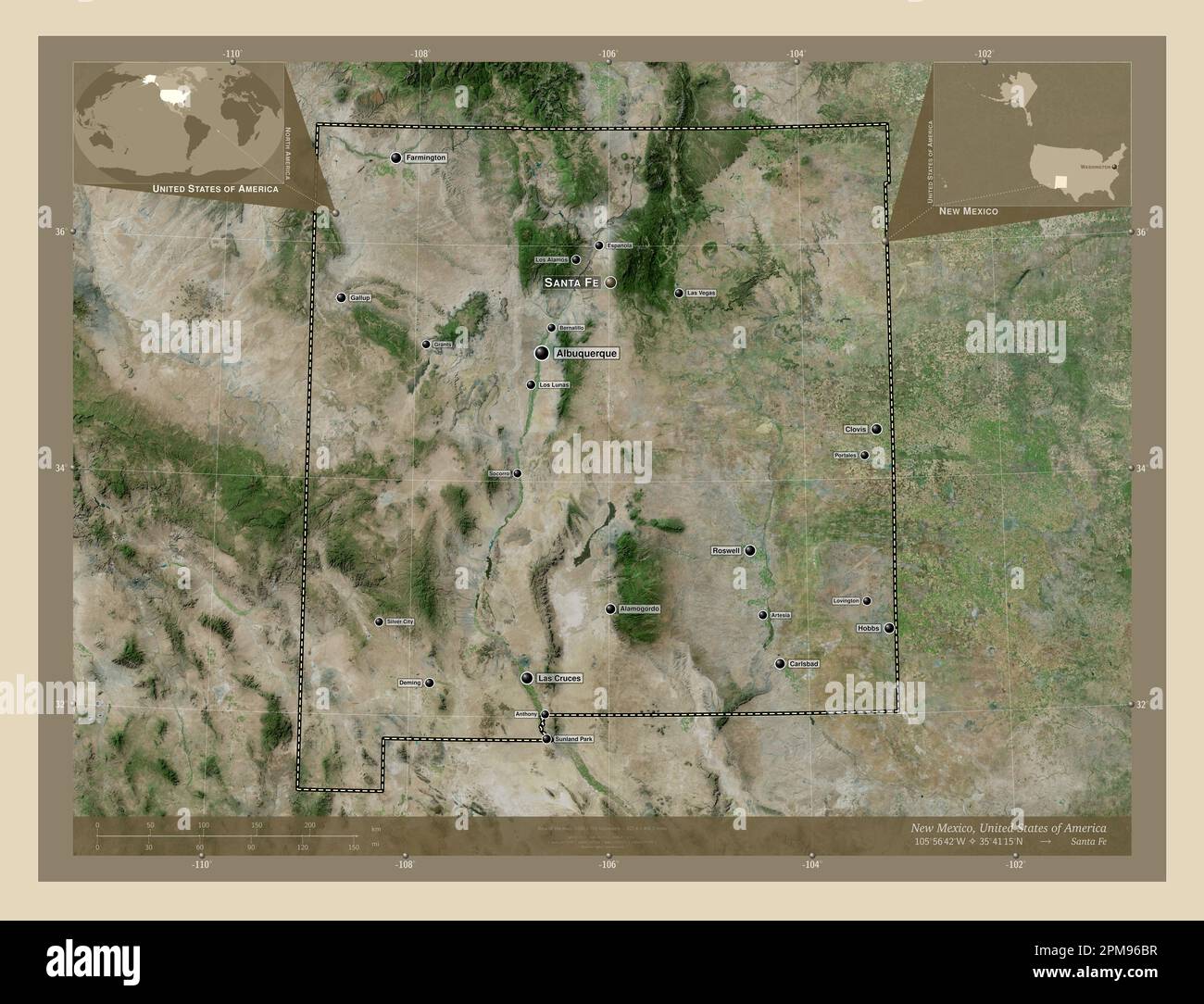 New Mexico, state of United States of America. High resolution satellite map. Locations and names of major cities of the region. Corner auxiliary loca Stock Photohttps://www.alamy.com/image-license-details/?v=1https://www.alamy.com/new-mexico-state-of-united-states-of-america-high-resolution-satellite-map-locations-and-names-of-major-cities-of-the-region-corner-auxiliary-loca-image546017131.html
RF2PM96BR–New Mexico, state of United States of America. High resolution satellite map. Locations and names of major cities of the region. Corner auxiliary loca
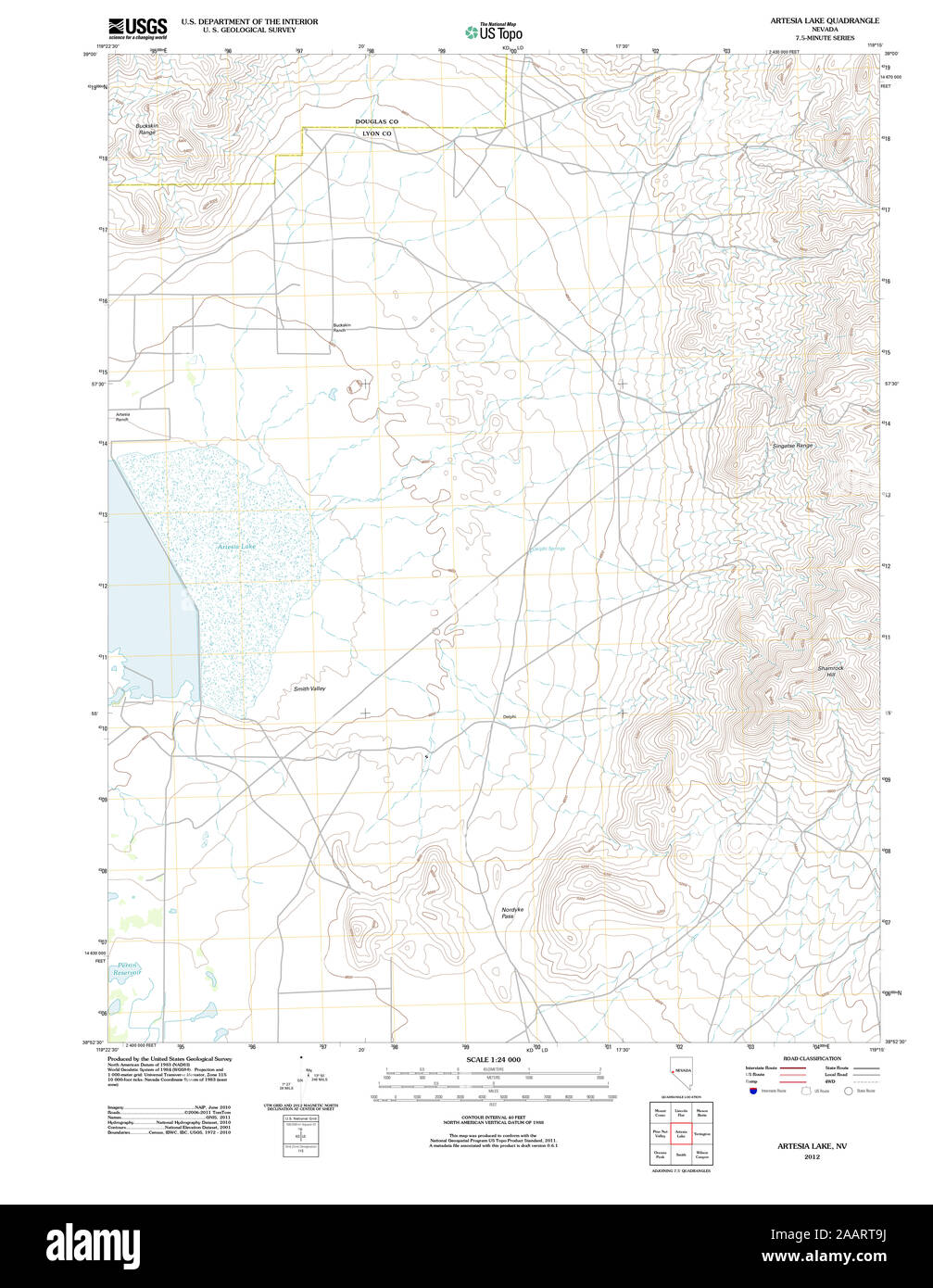 USGS TOPO Map Nevada NV Artesia Lake 20120124 TM Restoration Stock Photohttps://www.alamy.com/image-license-details/?v=1https://www.alamy.com/usgs-topo-map-nevada-nv-artesia-lake-20120124-tm-restoration-image333667534.html
RM2AART9J–USGS TOPO Map Nevada NV Artesia Lake 20120124 TM Restoration
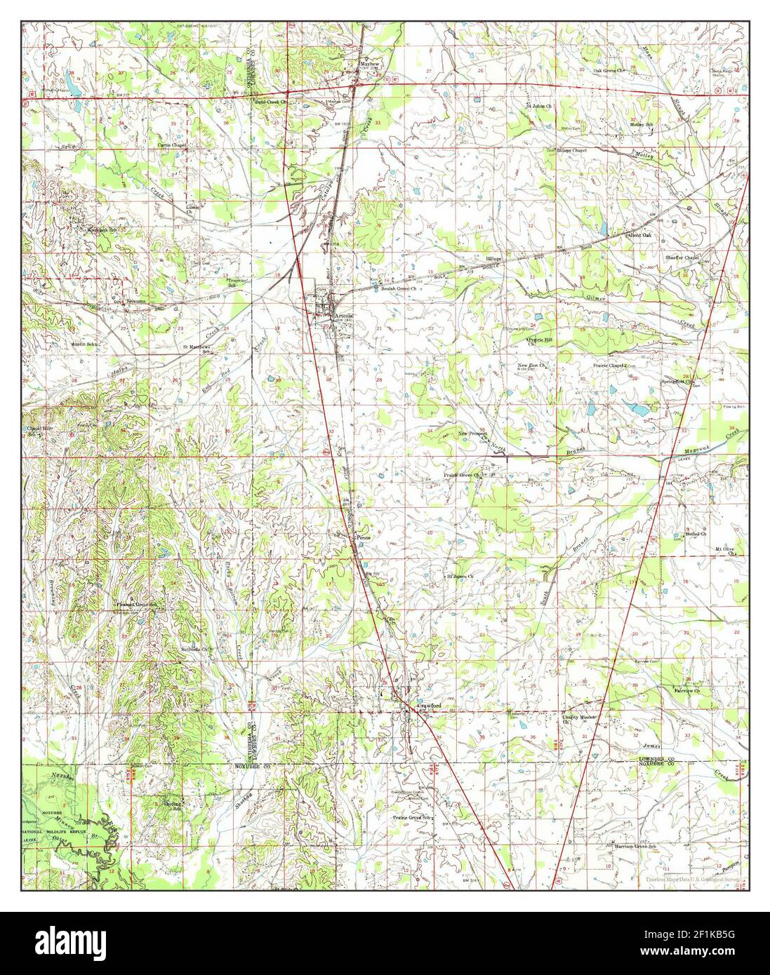 Artesia, Mississippi, map 1959, 1:62500, United States of America by Timeless Maps, data U.S. Geological Survey Stock Photohttps://www.alamy.com/image-license-details/?v=1https://www.alamy.com/artesia-mississippi-map-1959-162500-united-states-of-america-by-timeless-maps-data-us-geological-survey-image414089356.html
RM2F1KB5G–Artesia, Mississippi, map 1959, 1:62500, United States of America by Timeless Maps, data U.S. Geological Survey
 Map of Artesia and a part of Picardy, 1708; Carte Private Des Environs d'Arthois du Boulenois et d'Une Partie de la Picardie. Map of Artesia and a part of Picardy, 1708. Part of a bundled collection of plans of battles and cities renowned in the Spanish succession war. This plate belongs to the first 24 plates that together form a very large map of the Southern Netherlands. Stock Photohttps://www.alamy.com/image-license-details/?v=1https://www.alamy.com/map-of-artesia-and-a-part-of-picardy-1708-carte-private-des-environs-darthois-du-boulenois-et-dune-partie-de-la-picardie-map-of-artesia-and-a-part-of-picardy-1708-part-of-a-bundled-collection-of-plans-of-battles-and-cities-renowned-in-the-spanish-succession-war-this-plate-belongs-to-the-first-24-plates-that-together-form-a-very-large-map-of-the-southern-netherlands-image431594639.html
RM2G24RA7–Map of Artesia and a part of Picardy, 1708; Carte Private Des Environs d'Arthois du Boulenois et d'Une Partie de la Picardie. Map of Artesia and a part of Picardy, 1708. Part of a bundled collection of plans of battles and cities renowned in the Spanish succession war. This plate belongs to the first 24 plates that together form a very large map of the Southern Netherlands.
 New Mexico, state of United States of America. Low resolution satellite map. Locations and names of major cities of the region. Corner auxiliary locat Stock Photohttps://www.alamy.com/image-license-details/?v=1https://www.alamy.com/new-mexico-state-of-united-states-of-america-low-resolution-satellite-map-locations-and-names-of-major-cities-of-the-region-corner-auxiliary-locat-image546017081.html
RF2PM96A1–New Mexico, state of United States of America. Low resolution satellite map. Locations and names of major cities of the region. Corner auxiliary locat
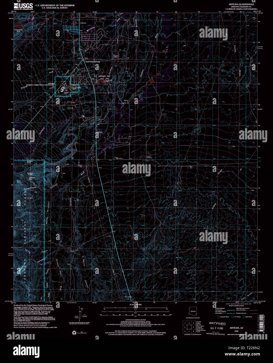 USGS TOPO Map Arizona AZ Artesia 310323 1996 24000 Inverted Restoration Stock Photohttps://www.alamy.com/image-license-details/?v=1https://www.alamy.com/usgs-topo-map-arizona-az-artesia-310323-1996-24000-inverted-restoration-image242223662.html
RMT226N2–USGS TOPO Map Arizona AZ Artesia 310323 1996 24000 Inverted Restoration
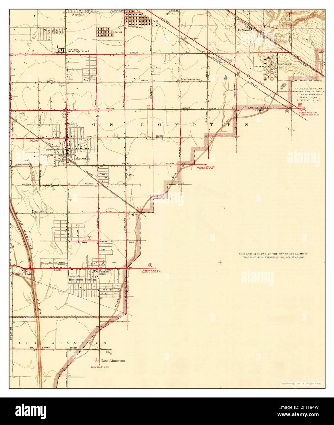 Artesia, California, map 1945, 1:24000, United States of America by Timeless Maps, data U.S. Geological Survey Stock Photohttps://www.alamy.com/image-license-details/?v=1https://www.alamy.com/artesia-california-map-1945-124000-united-states-of-america-by-timeless-maps-data-us-geological-survey-image413999177.html
RM2F1F84W–Artesia, California, map 1945, 1:24000, United States of America by Timeless Maps, data U.S. Geological Survey