Quick filters:
Central london map Stock Photos and Images
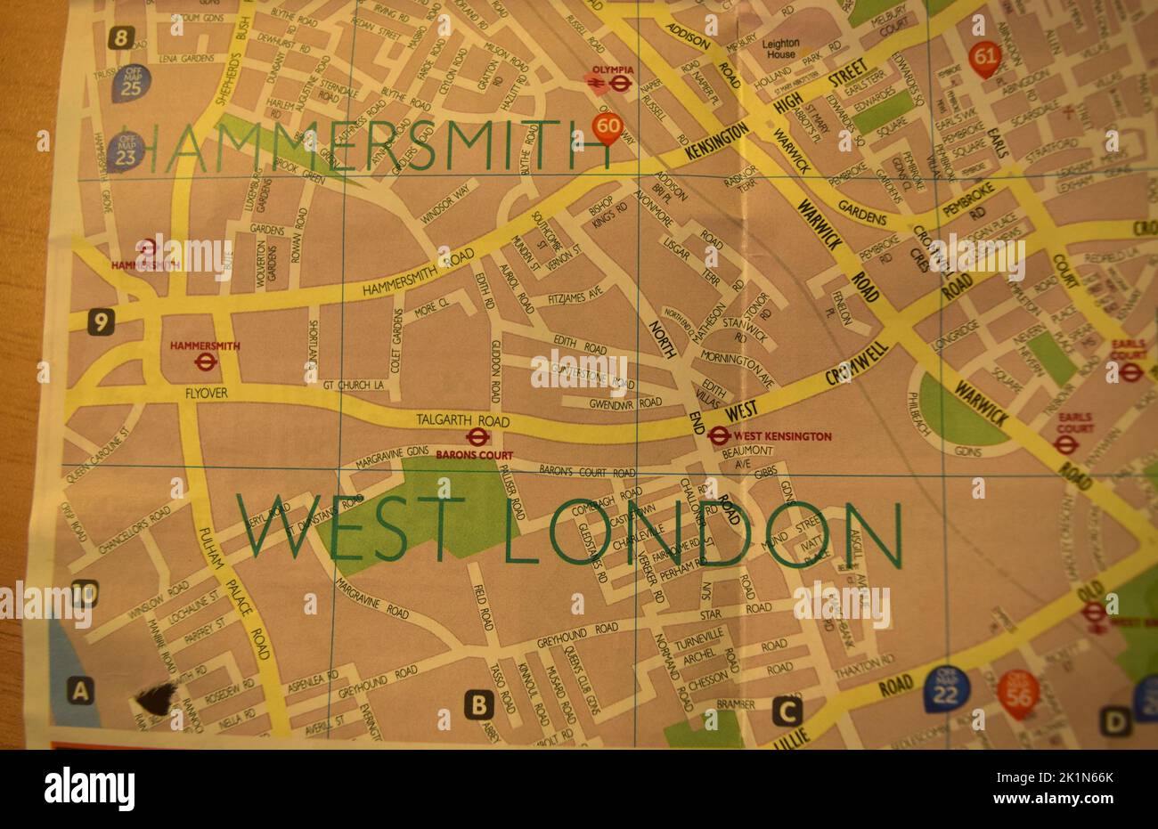 Central London map. Stock Photohttps://www.alamy.com/image-license-details/?v=1https://www.alamy.com/central-london-map-image482970843.html
RF2K1N66K–Central London map.
 Man Looking At Map In Central London Stock Photohttps://www.alamy.com/image-license-details/?v=1https://www.alamy.com/man-looking-at-map-in-central-london-image8090004.html
RMAGBEH5–Man Looking At Map In Central London
 Top view of central London, plexus effect, hologram and map of the city, streets and buildings. 3d rendering Stock Vectorhttps://www.alamy.com/image-license-details/?v=1https://www.alamy.com/top-view-of-central-london-plexus-effect-hologram-and-map-of-the-city-streets-and-buildings-3d-rendering-image451841658.html
RF2H734J2–Top view of central London, plexus effect, hologram and map of the city, streets and buildings. 3d rendering
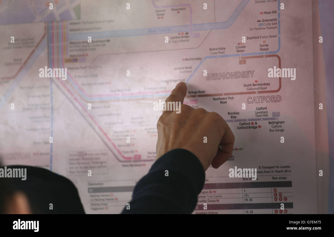 Transport stock, London. A map at a bus stop in central London. Stock Photohttps://www.alamy.com/image-license-details/?v=1https://www.alamy.com/stock-photo-transport-stock-london-a-map-at-a-bus-stop-in-central-london-107888009.html
RMG7EM75–Transport stock, London. A map at a bus stop in central London.
 Lewisham Central, Greater London, United Kingdom, England, N 51 27' 21'', W 0 0' 34'', map, Timeless Map published in 2021. Travelers, explorers and adventurers like Florence Nightingale, David Livingstone, Ernest Shackleton, Lewis and Clark and Sherlock Holmes relied on maps to plan travels to the world's most remote corners, Timeless Maps is mapping most locations on the globe, showing the achievement of great dreams Stock Photohttps://www.alamy.com/image-license-details/?v=1https://www.alamy.com/lewisham-central-greater-london-united-kingdom-england-n-51-27-21-w-0-0-34-map-timeless-map-published-in-2021-travelers-explorers-and-adventurers-like-florence-nightingale-david-livingstone-ernest-shackleton-lewis-and-clark-and-sherlock-holmes-relied-on-maps-to-plan-travels-to-the-worlds-most-remote-corners-timeless-maps-is-mapping-most-locations-on-the-globe-showing-the-achievement-of-great-dreams-image439413445.html
RM2GEW099–Lewisham Central, Greater London, United Kingdom, England, N 51 27' 21'', W 0 0' 34'', map, Timeless Map published in 2021. Travelers, explorers and adventurers like Florence Nightingale, David Livingstone, Ernest Shackleton, Lewis and Clark and Sherlock Holmes relied on maps to plan travels to the world's most remote corners, Timeless Maps is mapping most locations on the globe, showing the achievement of great dreams
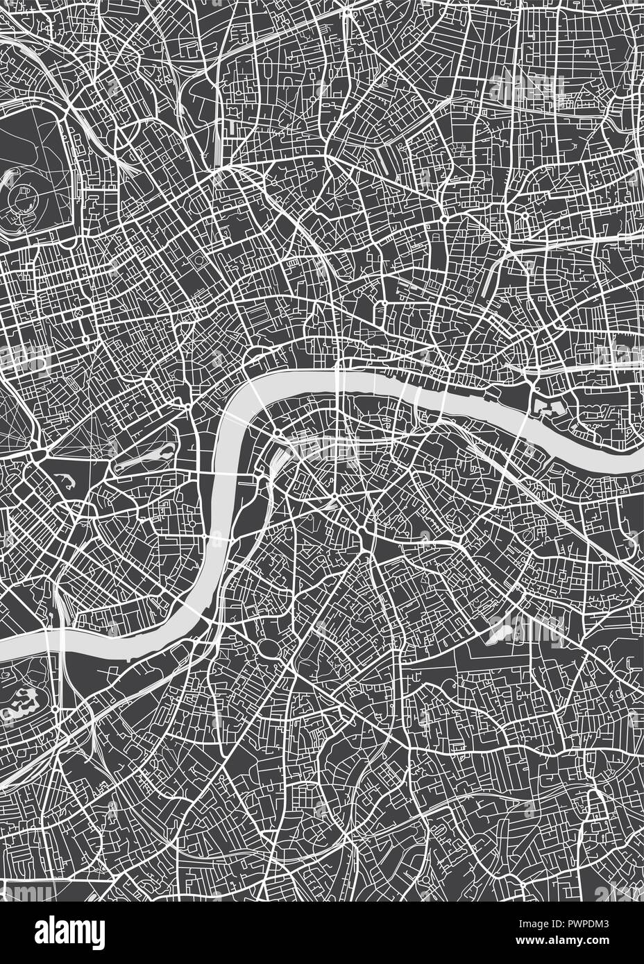 London city plan, detailed vector map detailed plan of the city, rivers and streets Stock Vectorhttps://www.alamy.com/image-license-details/?v=1https://www.alamy.com/london-city-plan-detailed-vector-map-detailed-plan-of-the-city-rivers-and-streets-image222384515.html
RFPWPDM3–London city plan, detailed vector map detailed plan of the city, rivers and streets
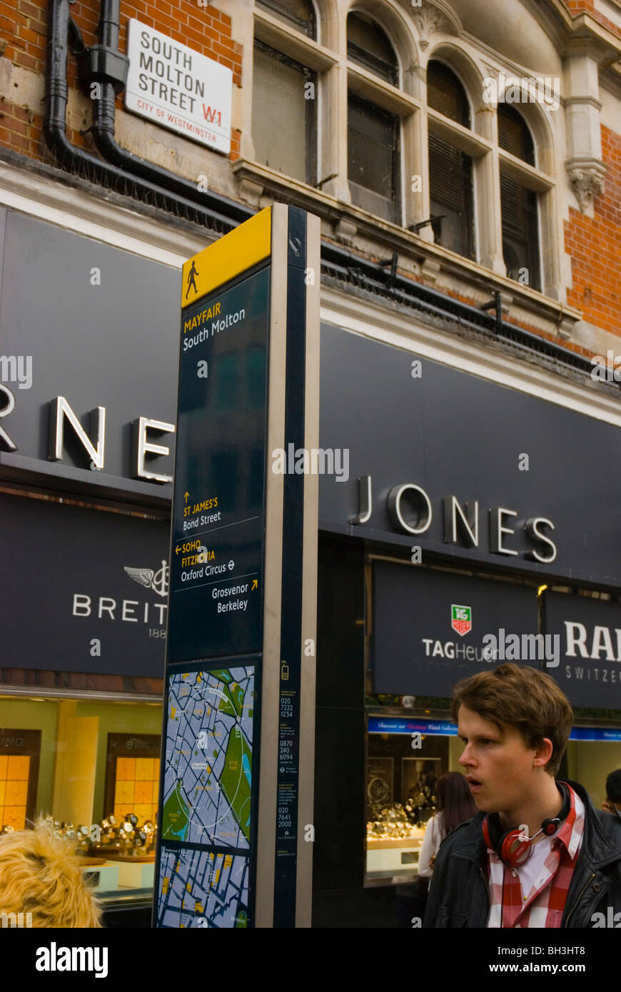 Man looking at area map South Molton street Mayfair central London England UK Europe Stock Photohttps://www.alamy.com/image-license-details/?v=1https://www.alamy.com/stock-photo-man-looking-at-area-map-south-molton-street-mayfair-central-london-27739384.html
RMBH3HT8–Man looking at area map South Molton street Mayfair central London England UK Europe
 London, UK. Couple looking at a map Stock Photohttps://www.alamy.com/image-license-details/?v=1https://www.alamy.com/stock-photo-london-uk-couple-looking-at-a-map-89246274.html
RMF55EEX–London, UK. Couple looking at a map
 London, UK - June 10th 2020: A map pin marking the location of Walthamstow Central station on a London Underground tube Map. Stock Photohttps://www.alamy.com/image-license-details/?v=1https://www.alamy.com/london-uk-june-10th-2020-a-map-pin-marking-the-location-of-walthamstow-central-station-on-a-london-underground-tube-map-image361685901.html
RM2C0C61H–London, UK - June 10th 2020: A map pin marking the location of Walthamstow Central station on a London Underground tube Map.
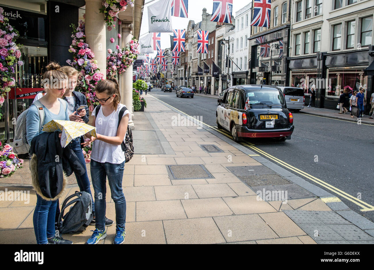 Tourists Reading A Map In London UK Stock Photohttps://www.alamy.com/image-license-details/?v=1https://www.alamy.com/stock-photo-tourists-reading-a-map-in-london-uk-107247054.html
RMG6DEKX–Tourists Reading A Map In London UK
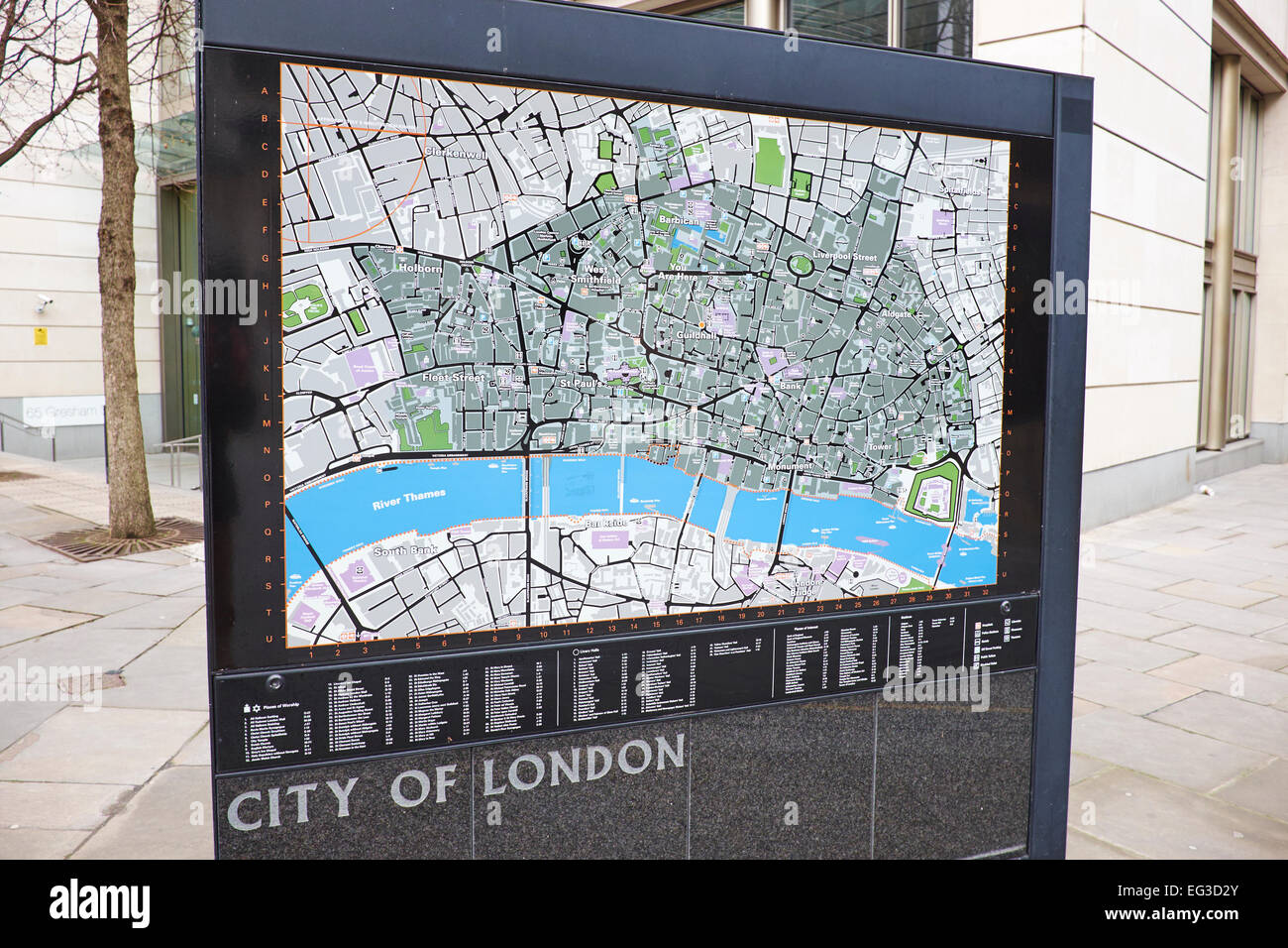 Map Of The City Of London Helping Tourists Find There Way Around Gresham Street City Of London UK Stock Photohttps://www.alamy.com/image-license-details/?v=1https://www.alamy.com/stock-photo-map-of-the-city-of-london-helping-tourists-find-there-way-around-gresham-78752099.html
RMEG3D2Y–Map Of The City Of London Helping Tourists Find There Way Around Gresham Street City Of London UK
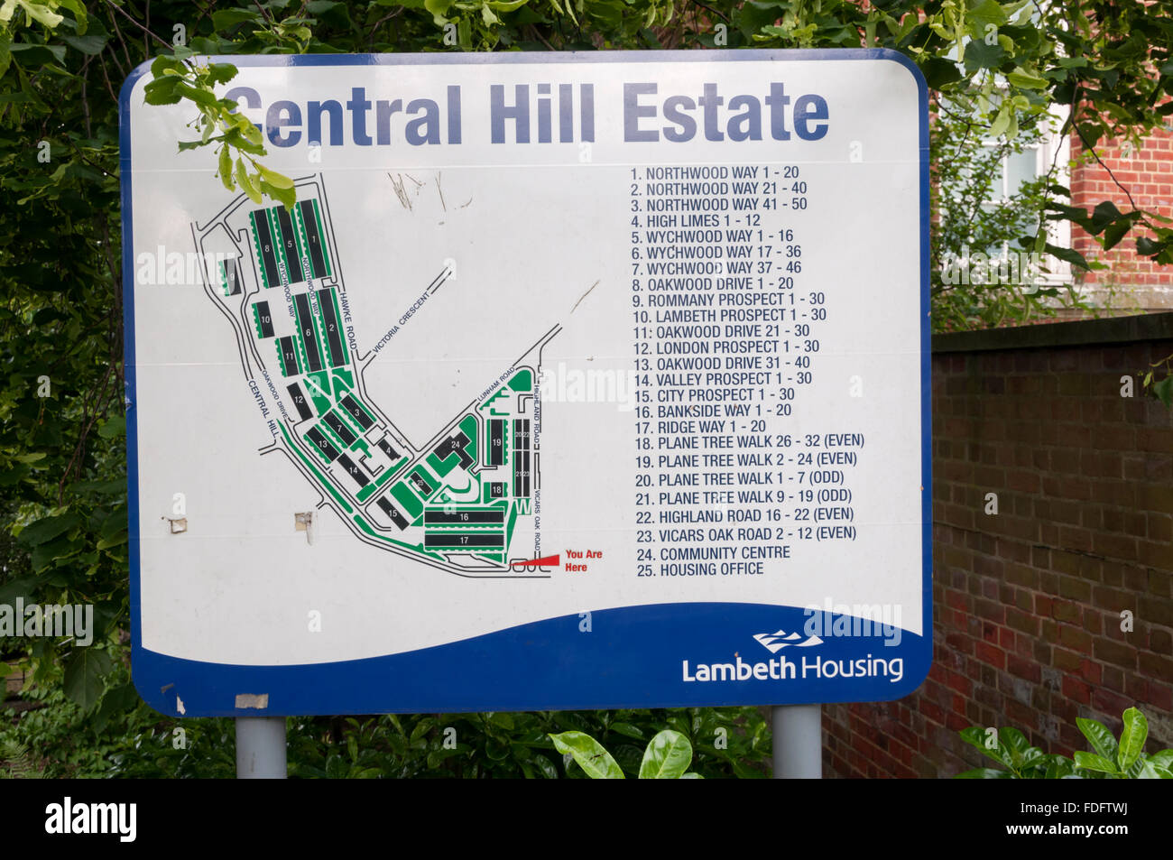 Plan of the Central Hill Estate, Lambeth. Stock Photohttps://www.alamy.com/image-license-details/?v=1https://www.alamy.com/stock-photo-plan-of-the-central-hill-estate-lambeth-94391182.html
RMFDFTWJ–Plan of the Central Hill Estate, Lambeth.
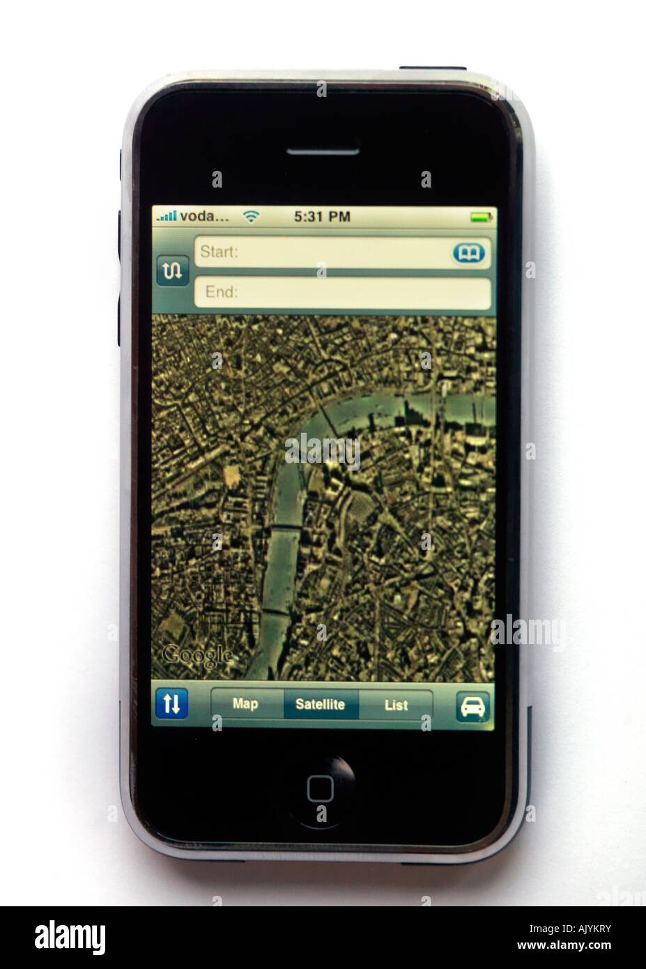 A 51863 Satellite Map of Central London on Iphone Stock Photohttps://www.alamy.com/image-license-details/?v=1https://www.alamy.com/stock-photo-a-51863-satellite-map-of-central-london-on-iphone-14836814.html
RMAJYKRY–A 51863 Satellite Map of Central London on Iphone
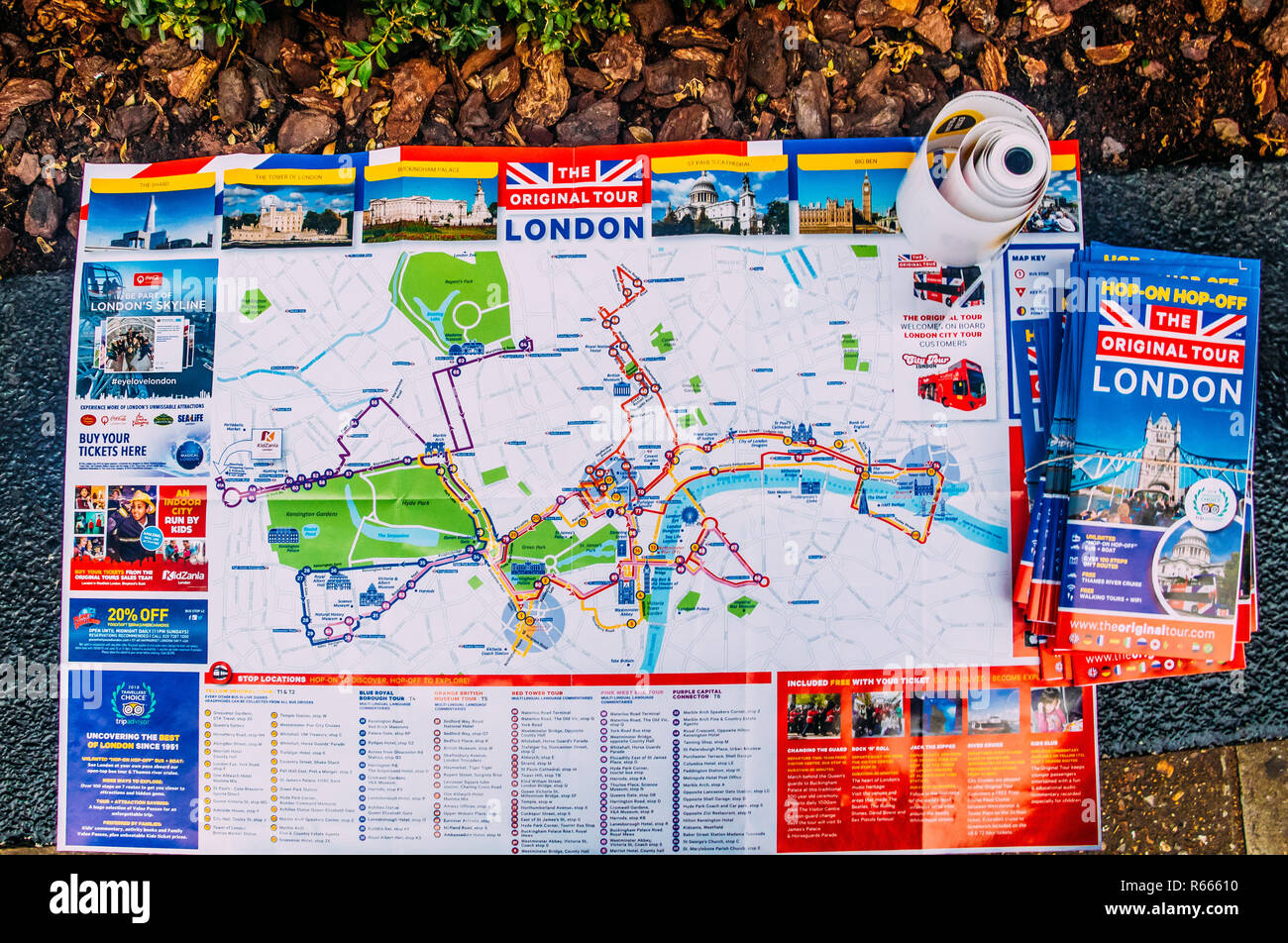 London, UK - Nov 15, 2018: Map of Central London tours sponsored by a London Original Tour company Stock Photohttps://www.alamy.com/image-license-details/?v=1https://www.alamy.com/london-uk-nov-15-2018-map-of-central-london-tours-sponsored-by-a-london-original-tour-company-image227559164.html
RFR66610–London, UK - Nov 15, 2018: Map of Central London tours sponsored by a London Original Tour company
 Map of London Underground railway, Hampstead Tube Stock Photohttps://www.alamy.com/image-license-details/?v=1https://www.alamy.com/map-of-london-underground-railway-hampstead-tube-image501470956.html
RM2M3RY90–Map of London Underground railway, Hampstead Tube
 Tourist / visitor couple studying a large board mounted sightseeing map of central London in Leicester Square Stock Photohttps://www.alamy.com/image-license-details/?v=1https://www.alamy.com/stock-photo-tourist-visitor-couple-studying-a-large-board-mounted-sightseeing-25426245.html
RMBDA7C5–Tourist / visitor couple studying a large board mounted sightseeing map of central London in Leicester Square
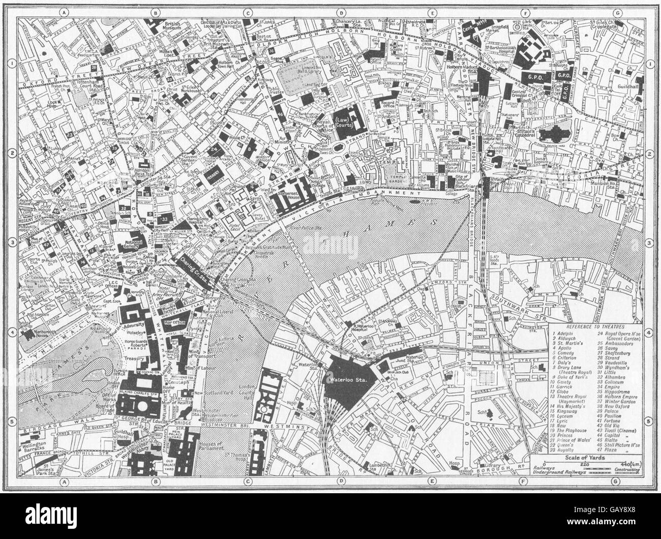 LONDON: Central: guide to theatres & main Cinemas, 1926 vintage map Stock Photohttps://www.alamy.com/image-license-details/?v=1https://www.alamy.com/stock-photo-london-central-guide-to-theatres-main-cinemas-1926-vintage-map-110008480.html
RFGAY8X8–LONDON: Central: guide to theatres & main Cinemas, 1926 vintage map
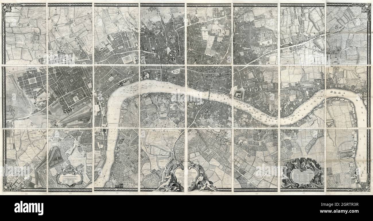 John Rocque's map of London and Westminster, 1746, all sheets Stock Photohttps://www.alamy.com/image-license-details/?v=1https://www.alamy.com/john-rocques-map-of-london-and-westminster-1746-all-sheets-image444941275.html
RF2GRTR3R–John Rocque's map of London and Westminster, 1746, all sheets
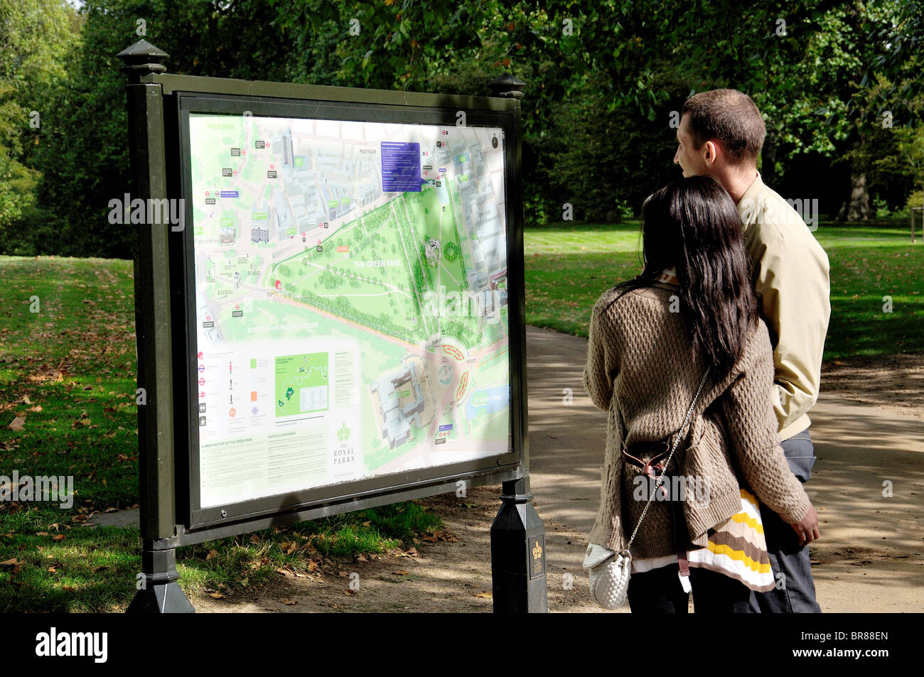 Couple looking at park map, The Green Park, City of Westminster, Greater London, England, United Kingdom Stock Photohttps://www.alamy.com/image-license-details/?v=1https://www.alamy.com/stock-photo-couple-looking-at-park-map-the-green-park-city-of-westminster-greater-31529757.html
RMBR88EN–Couple looking at park map, The Green Park, City of Westminster, Greater London, England, United Kingdom
 Central London map. Stock Photohttps://www.alamy.com/image-license-details/?v=1https://www.alamy.com/central-london-map-image482970848.html
RF2K1N66T–Central London map.
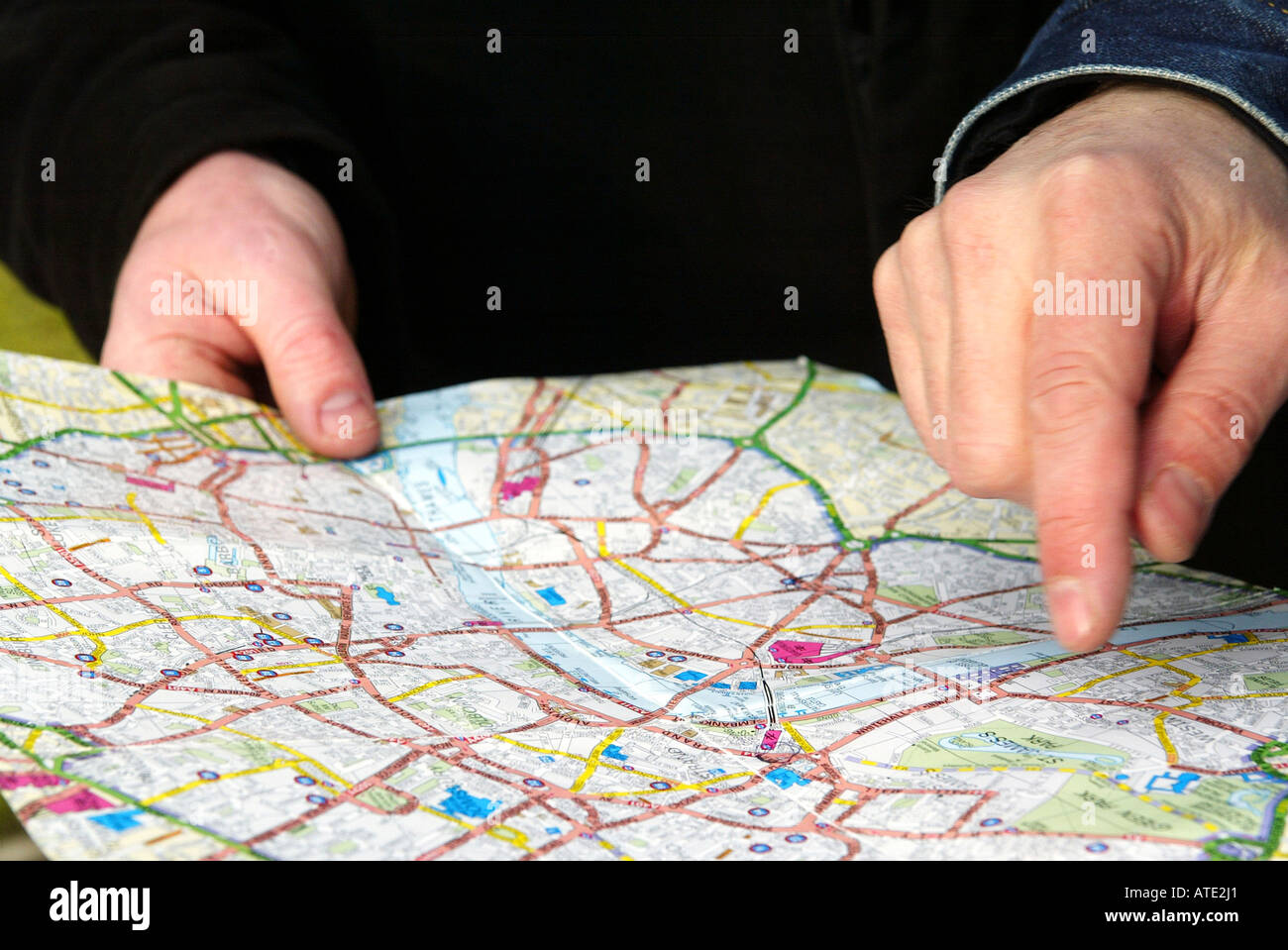 directions London Map Stock Photohttps://www.alamy.com/image-license-details/?v=1https://www.alamy.com/directions-london-map-image9308064.html
RMATE2J1–directions London Map
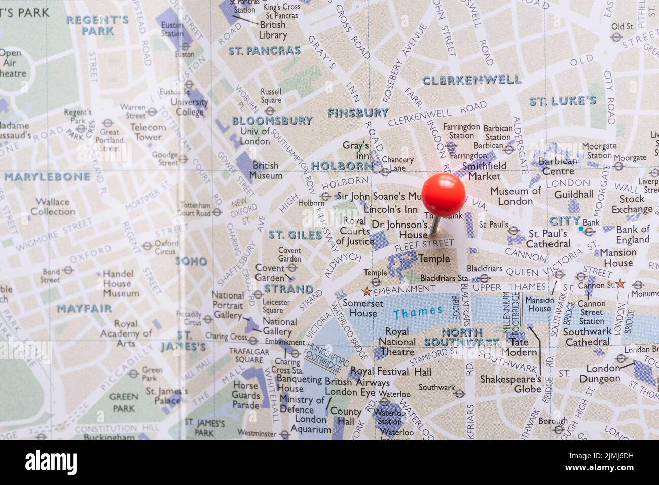 West end london map with pin Stock Photohttps://www.alamy.com/image-license-details/?v=1https://www.alamy.com/west-end-london-map-with-pin-image477373277.html
RF2JMJ6DH–West end london map with pin
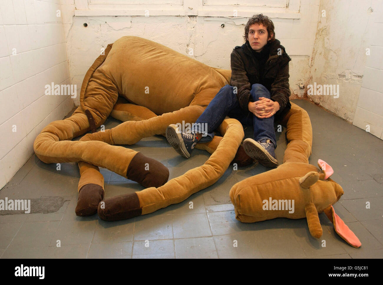 Artist James Lambert sits with Big Dead Giraffe, a seven-foot corduroy giraffe he made himself as part of an exhibit also including a table and a photograph sharing the theme of boundaries, exhibiting at Future Map 2001. * a joint graduation show by five of London's art and design colleges, at the London Institute Gallery, central London. Stock Photohttps://www.alamy.com/image-license-details/?v=1https://www.alamy.com/stock-photo-artist-james-lambert-sits-with-big-dead-giraffe-a-seven-foot-corduroy-106740257.html
RMG5JC81–Artist James Lambert sits with Big Dead Giraffe, a seven-foot corduroy giraffe he made himself as part of an exhibit also including a table and a photograph sharing the theme of boundaries, exhibiting at Future Map 2001. * a joint graduation show by five of London's art and design colleges, at the London Institute Gallery, central London.
 Sutton Central, Greater London, United Kingdom, England, N 51 21' 54'', W 0 11' 25'', map, Timeless Map published in 2021. Travelers, explorers and adventurers like Florence Nightingale, David Livingstone, Ernest Shackleton, Lewis and Clark and Sherlock Holmes relied on maps to plan travels to the world's most remote corners, Timeless Maps is mapping most locations on the globe, showing the achievement of great dreams Stock Photohttps://www.alamy.com/image-license-details/?v=1https://www.alamy.com/sutton-central-greater-london-united-kingdom-england-n-51-21-54-w-0-11-25-map-timeless-map-published-in-2021-travelers-explorers-and-adventurers-like-florence-nightingale-david-livingstone-ernest-shackleton-lewis-and-clark-and-sherlock-holmes-relied-on-maps-to-plan-travels-to-the-worlds-most-remote-corners-timeless-maps-is-mapping-most-locations-on-the-globe-showing-the-achievement-of-great-dreams-image439414532.html
RM2GEW1M4–Sutton Central, Greater London, United Kingdom, England, N 51 21' 54'', W 0 11' 25'', map, Timeless Map published in 2021. Travelers, explorers and adventurers like Florence Nightingale, David Livingstone, Ernest Shackleton, Lewis and Clark and Sherlock Holmes relied on maps to plan travels to the world's most remote corners, Timeless Maps is mapping most locations on the globe, showing the achievement of great dreams
 Tourists in Central London. Credit: Sinai Noor / Alamy Stock Photohttps://www.alamy.com/image-license-details/?v=1https://www.alamy.com/tourists-in-central-london-credit-sinai-noor-alamy-image544175179.html
RF2PH98YR–Tourists in Central London. Credit: Sinai Noor / Alamy
 People looking at area map South Molton street Mayfair central London England UK Europe Stock Photohttps://www.alamy.com/image-license-details/?v=1https://www.alamy.com/stock-photo-people-looking-at-area-map-south-molton-street-mayfair-central-london-27739453.html
RMBH3HXN–People looking at area map South Molton street Mayfair central London England UK Europe
 London, England, UK. 'You Are Here' tourist map in Whitehall, looking towards Nelsons Column Stock Photohttps://www.alamy.com/image-license-details/?v=1https://www.alamy.com/stock-photo-london-england-uk-you-are-here-tourist-map-in-whitehall-looking-towards-136721490.html
RMHXC5JA–London, England, UK. 'You Are Here' tourist map in Whitehall, looking towards Nelsons Column
 London, UK - June 10th 2020: A map pin marking the location of Walthamstow Central station on a London Underground tube Map. Stock Photohttps://www.alamy.com/image-license-details/?v=1https://www.alamy.com/london-uk-june-10th-2020-a-map-pin-marking-the-location-of-walthamstow-central-station-on-a-london-underground-tube-map-image361686193.html
RM2C0C6C1–London, UK - June 10th 2020: A map pin marking the location of Walthamstow Central station on a London Underground tube Map.
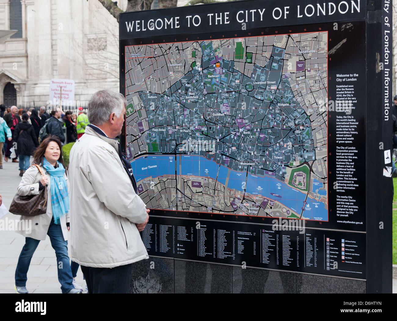 Tourists Reading a Tourist Map London UK Stock Photohttps://www.alamy.com/image-license-details/?v=1https://www.alamy.com/stock-photo-tourists-reading-a-tourist-map-london-uk-55711817.html
RMD6HTYN–Tourists Reading a Tourist Map London UK
 Central Line Stock Photohttps://www.alamy.com/image-license-details/?v=1https://www.alamy.com/stock-photo-central-line-15276551.html
RFAMJCGT–Central Line
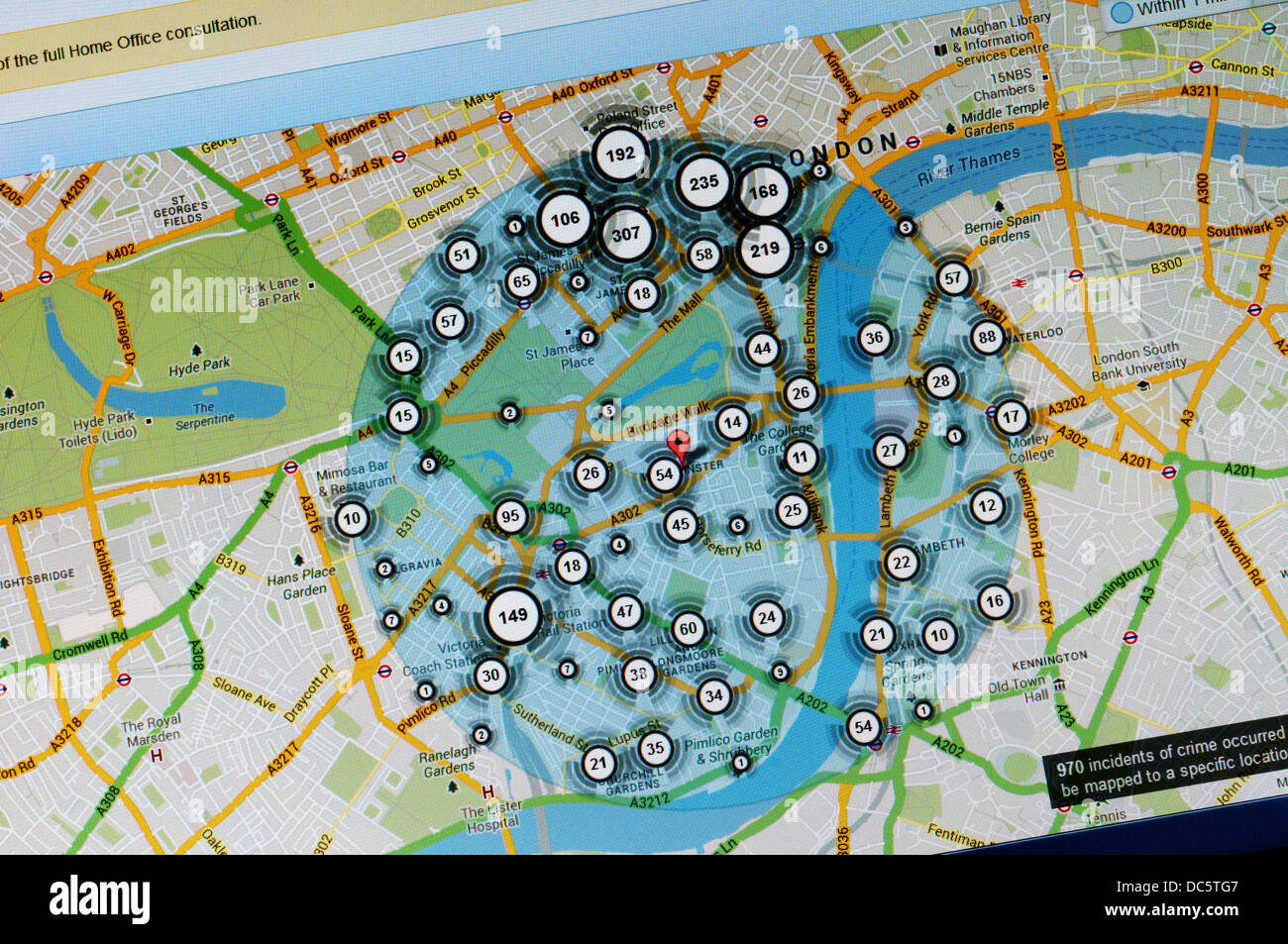 Incidence of crime in central London Westminster area shown on crime map from police.uk. Stock Photohttps://www.alamy.com/image-license-details/?v=1https://www.alamy.com/stock-photo-incidence-of-crime-in-central-london-westminster-area-shown-on-crime-59136007.html
RMDC5TG7–Incidence of crime in central London Westminster area shown on crime map from police.uk.
 On October 21st 2023 an estimated 100,000 people marched through Central London in support of Palestine and demanding an end to the bombing of Gaza. Stock Photohttps://www.alamy.com/image-license-details/?v=1https://www.alamy.com/on-october-21st-2023-an-estimated-100000-people-marched-through-central-london-in-support-of-palestine-and-demanding-an-end-to-the-bombing-of-gaza-image569725892.html
RM2T2W758–On October 21st 2023 an estimated 100,000 people marched through Central London in support of Palestine and demanding an end to the bombing of Gaza.
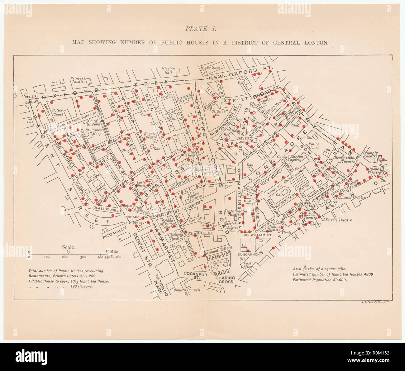 1899 map showing number of public houses in a district of central London Stock Photohttps://www.alamy.com/image-license-details/?v=1https://www.alamy.com/1899-map-showing-number-of-public-houses-in-a-district-of-central-london-image224174750.html
RMR0M152–1899 map showing number of public houses in a district of central London
 Map of London Underground railway, for Harrods Stock Photohttps://www.alamy.com/image-license-details/?v=1https://www.alamy.com/map-of-london-underground-railway-for-harrods-image501470952.html
RM2M3RY8T–Map of London Underground railway, for Harrods
 Young male tourist / visitor studying a large board mounted sightseeing map of central London in Leicester Square Stock Photohttps://www.alamy.com/image-license-details/?v=1https://www.alamy.com/stock-photo-young-male-tourist-visitor-studying-a-large-board-mounted-sightseeing-25426809.html
RMBDA849–Young male tourist / visitor studying a large board mounted sightseeing map of central London in Leicester Square
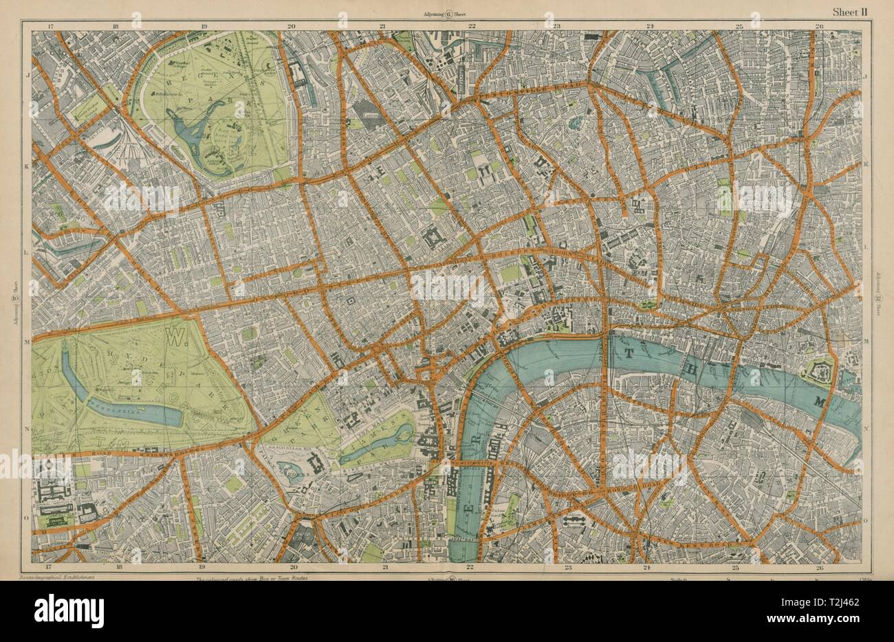 CENTRAL LONDON West End City Southwark Westminster Shoreditch. BACON 1919 map Stock Photohttps://www.alamy.com/image-license-details/?v=1https://www.alamy.com/central-london-west-end-city-southwark-westminster-shoreditch-bacon-1919-map-image242572906.html
RFT2J462–CENTRAL LONDON West End City Southwark Westminster Shoreditch. BACON 1919 map
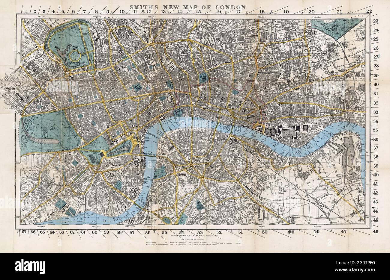 Smith's new map of London. 1860. England--London. Contributor Names C. Smith & Son. Stock Photohttps://www.alamy.com/image-license-details/?v=1https://www.alamy.com/smiths-new-map-of-london-1860-england-london-contributor-names-c-smith-son-image444940820.html
RF2GRTPFG–Smith's new map of London. 1860. England--London. Contributor Names C. Smith & Son.
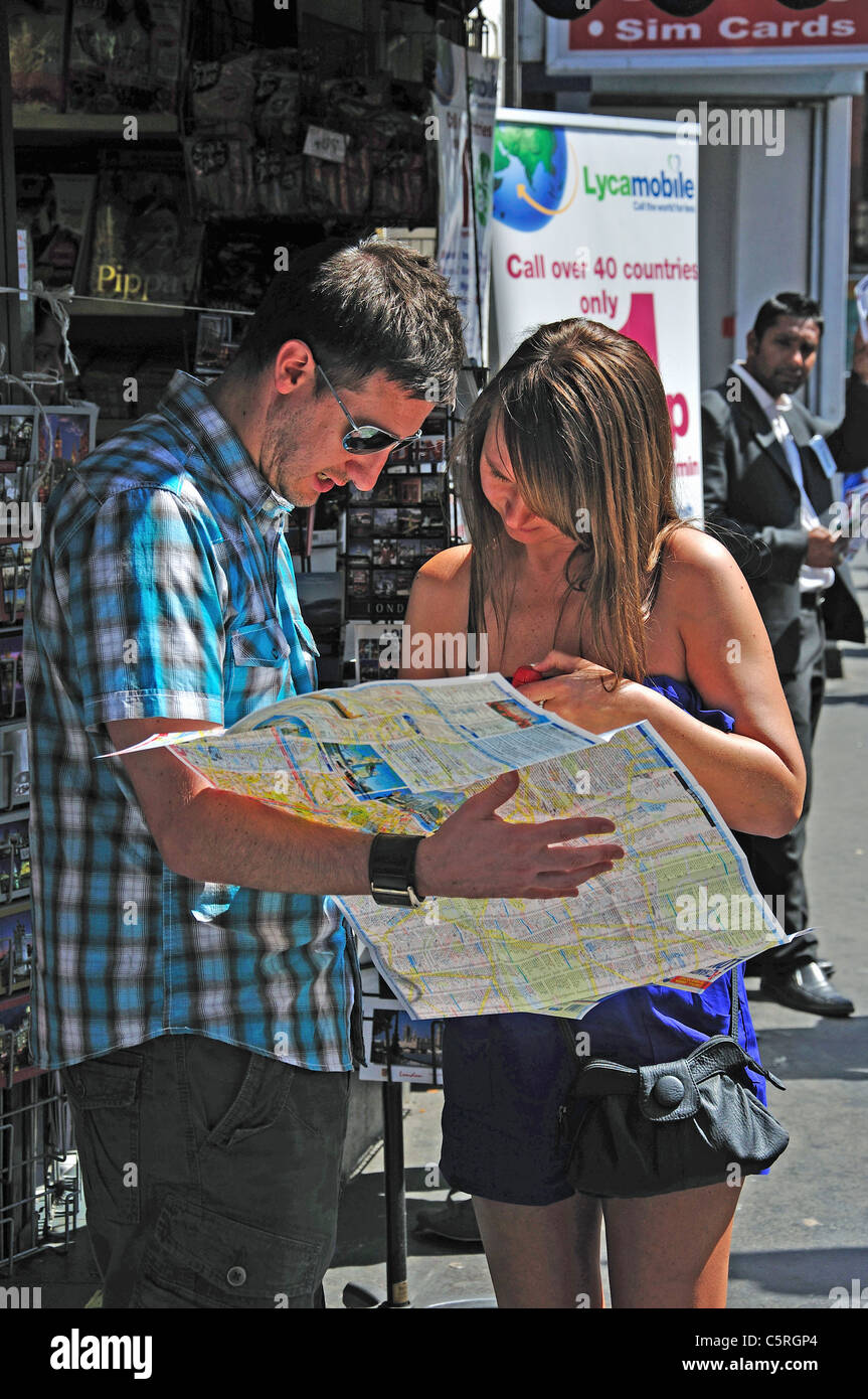 Couple reading map, Victoria Station, Victoria, Westminster, City of Westminster, Greater London, England, United Kingdom Stock Photohttps://www.alamy.com/image-license-details/?v=1https://www.alamy.com/stock-photo-couple-reading-map-victoria-station-victoria-westminster-city-of-westminster-38012076.html
RMC5RGP4–Couple reading map, Victoria Station, Victoria, Westminster, City of Westminster, Greater London, England, United Kingdom
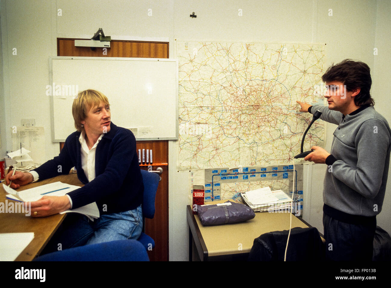 Motorcycle courier company despatch office in central London in 1986. Scan from 35mm slide film. Stock Photohttps://www.alamy.com/image-license-details/?v=1https://www.alamy.com/stock-photo-motorcycle-courier-company-despatch-office-in-central-london-in-1986-99575151.html
RMFP013B–Motorcycle courier company despatch office in central London in 1986. Scan from 35mm slide film.
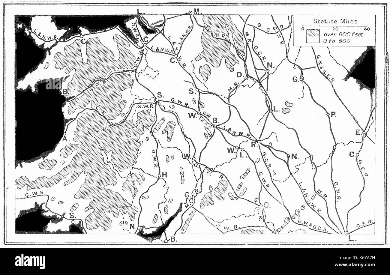 A 1914 map of railways in central England Stock Photohttps://www.alamy.com/image-license-details/?v=1https://www.alamy.com/a-1914-map-of-railways-in-central-england-image159182005.html
RMK6YA7H–A 1914 map of railways in central England
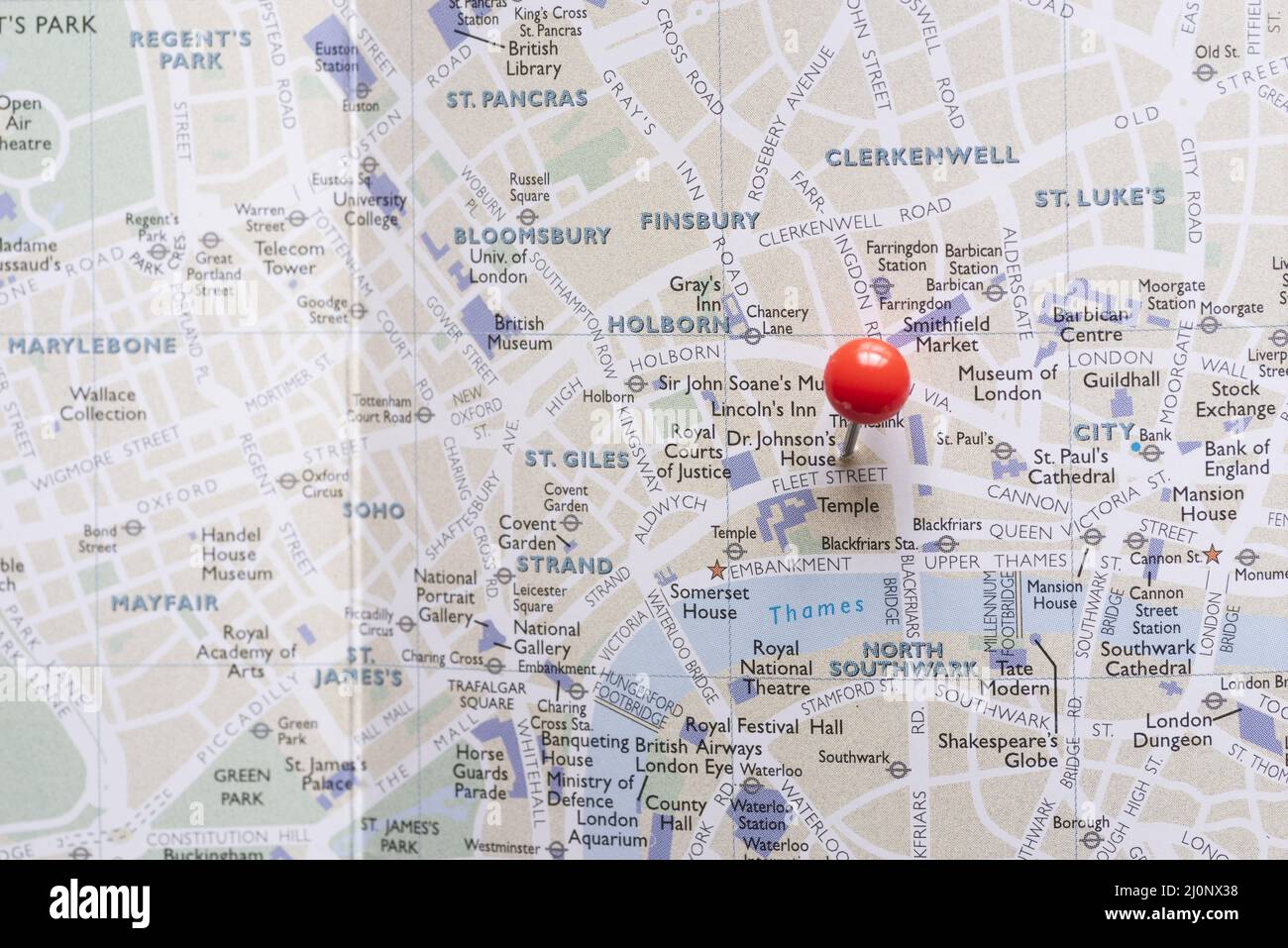 West end london map with pin. High quality and resolution beautiful photo concept Stock Photohttps://www.alamy.com/image-license-details/?v=1https://www.alamy.com/west-end-london-map-with-pin-high-quality-and-resolution-beautiful-photo-concept-image465161404.html
RF2J0NX38–West end london map with pin. High quality and resolution beautiful photo concept
 (From left to right) Peter Chesworth, from Mott Macdonald, John Stopford, from Solance Enterprises, Colin Adams from the British Consultants and Construction Bureau (BCCB), David Raines, from Health Network Associates, and Peter Malcom, from the CBI. * The BCCB were holding a press conference after meeting with business leaders from across Britain to discuss their potential role in the rebuilding of Iraq after the war. The meeting was convened at BCCB HQ in Westminster, central London. Stock Photohttps://www.alamy.com/image-license-details/?v=1https://www.alamy.com/from-left-to-right-peter-chesworth-from-mott-macdonald-john-stopford-from-solance-enterprises-colin-adams-from-the-british-consultants-and-construction-bureau-bccb-david-raines-from-health-network-associates-and-peter-malcom-from-the-cbi-the-bccb-were-holding-a-press-conference-after-meeting-with-business-leaders-from-across-britain-to-discuss-their-potential-role-in-the-rebuilding-of-iraq-after-the-war-the-meeting-was-convened-at-bccb-hq-in-westminster-central-london-image380537694.html
RM2D32YKX–(From left to right) Peter Chesworth, from Mott Macdonald, John Stopford, from Solance Enterprises, Colin Adams from the British Consultants and Construction Bureau (BCCB), David Raines, from Health Network Associates, and Peter Malcom, from the CBI. * The BCCB were holding a press conference after meeting with business leaders from across Britain to discuss their potential role in the rebuilding of Iraq after the war. The meeting was convened at BCCB HQ in Westminster, central London.
 Heston Central, Greater London, United Kingdom, England, N 51 28' 43'', W 0 22' 50'', map, Timeless Map published in 2021. Travelers, explorers and adventurers like Florence Nightingale, David Livingstone, Ernest Shackleton, Lewis and Clark and Sherlock Holmes relied on maps to plan travels to the world's most remote corners, Timeless Maps is mapping most locations on the globe, showing the achievement of great dreams Stock Photohttps://www.alamy.com/image-license-details/?v=1https://www.alamy.com/heston-central-greater-london-united-kingdom-england-n-51-28-43-w-0-22-50-map-timeless-map-published-in-2021-travelers-explorers-and-adventurers-like-florence-nightingale-david-livingstone-ernest-shackleton-lewis-and-clark-and-sherlock-holmes-relied-on-maps-to-plan-travels-to-the-worlds-most-remote-corners-timeless-maps-is-mapping-most-locations-on-the-globe-showing-the-achievement-of-great-dreams-image439412864.html
RM2GETYGG–Heston Central, Greater London, United Kingdom, England, N 51 28' 43'', W 0 22' 50'', map, Timeless Map published in 2021. Travelers, explorers and adventurers like Florence Nightingale, David Livingstone, Ernest Shackleton, Lewis and Clark and Sherlock Holmes relied on maps to plan travels to the world's most remote corners, Timeless Maps is mapping most locations on the globe, showing the achievement of great dreams
 Tourists in Central London. Credit: Sinai Noor / Alamy Stock Photohttps://www.alamy.com/image-license-details/?v=1https://www.alamy.com/tourists-in-central-london-credit-sinai-noor-alamy-image544175105.html
RF2PH98W5–Tourists in Central London. Credit: Sinai Noor / Alamy
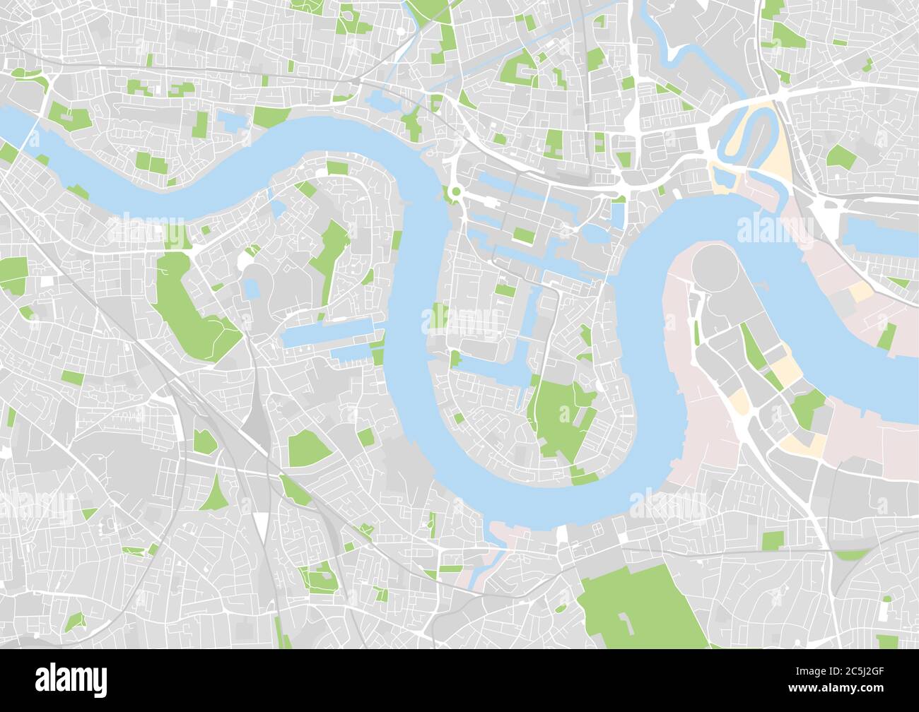 vector city map of east central London, UK Stock Vectorhttps://www.alamy.com/image-license-details/?v=1https://www.alamy.com/vector-city-map-of-east-central-london-uk-image364888175.html
RF2C5J2GF–vector city map of east central London, UK
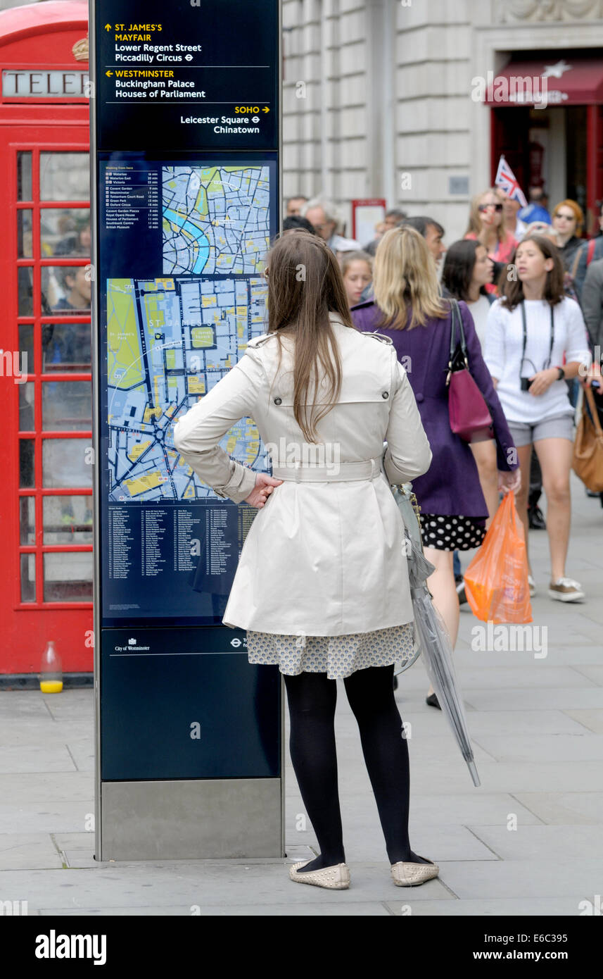 London, UK. Young woman looking at a tourist map in Regent Street Stock Photohttps://www.alamy.com/image-license-details/?v=1https://www.alamy.com/stock-photo-london-uk-young-woman-looking-at-a-tourist-map-in-regent-street-72795441.html
RME6C395–London, UK. Young woman looking at a tourist map in Regent Street
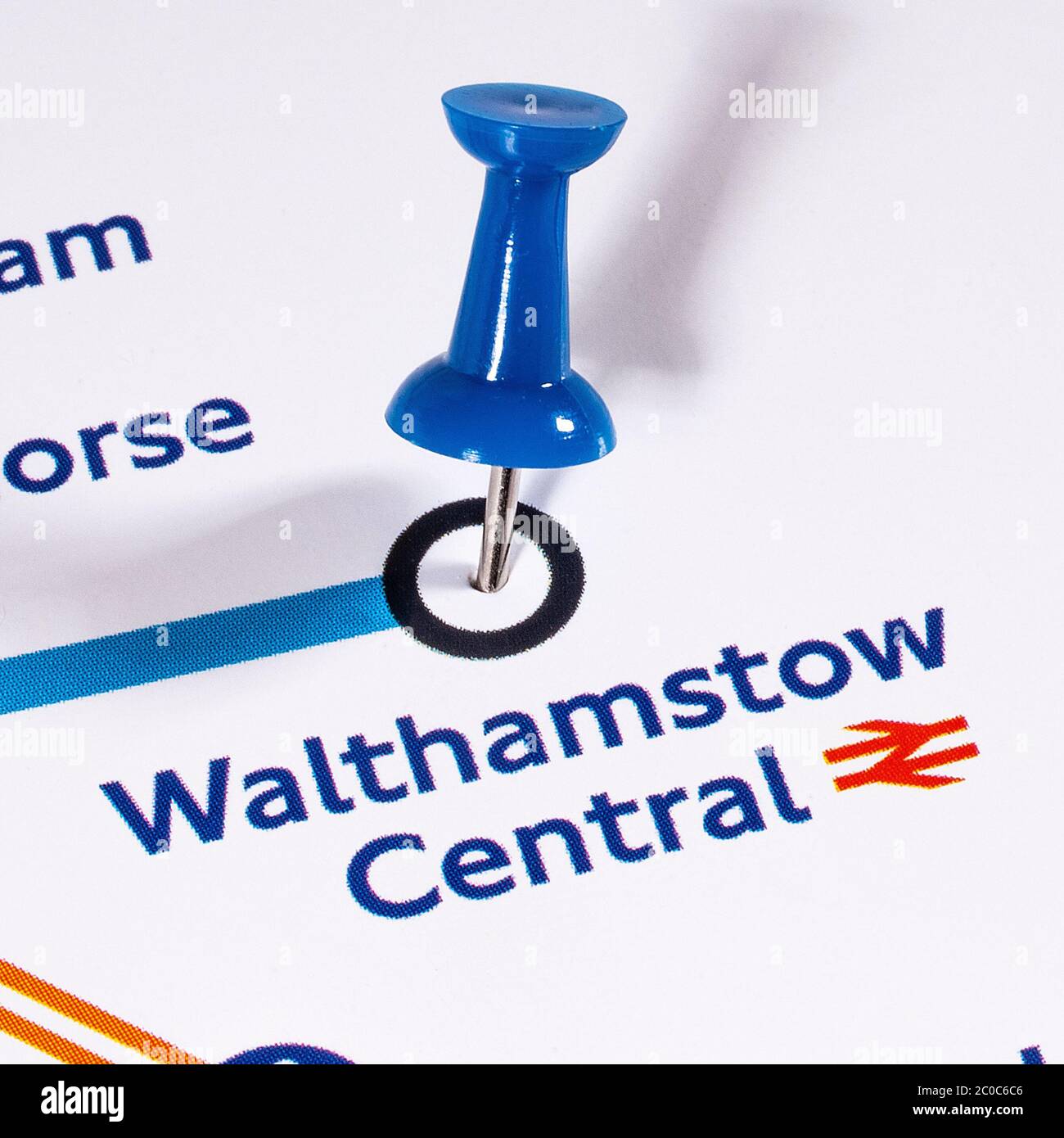 London, UK - June 10th 2020: A map pin marking the location of Walthamstow Central station on a London Underground tube Map. Stock Photohttps://www.alamy.com/image-license-details/?v=1https://www.alamy.com/london-uk-june-10th-2020-a-map-pin-marking-the-location-of-walthamstow-central-station-on-a-london-underground-tube-map-image361686198.html
RM2C0C6C6–London, UK - June 10th 2020: A map pin marking the location of Walthamstow Central station on a London Underground tube Map.
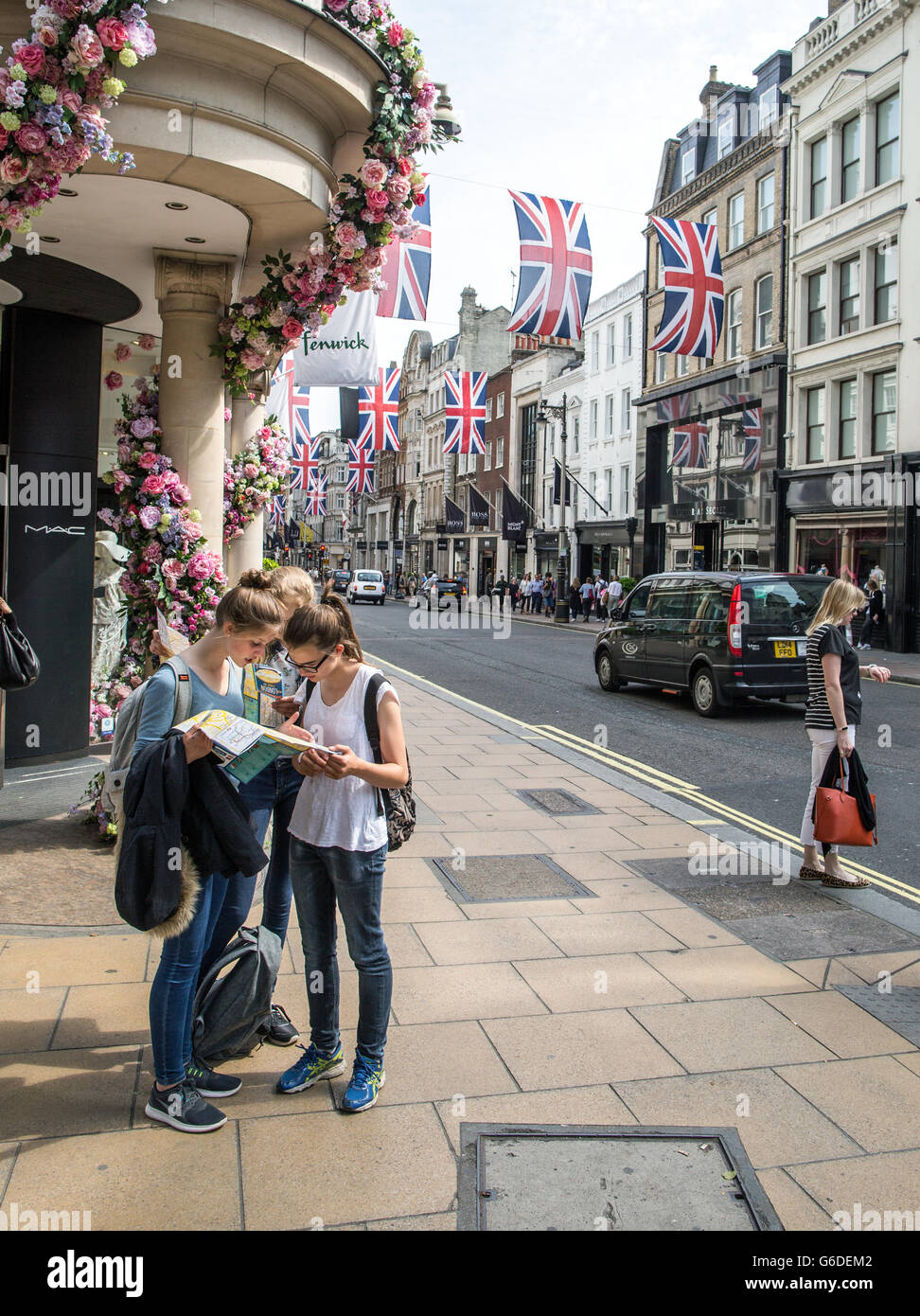 Tourists Reading A Map In London UK Stock Photohttps://www.alamy.com/image-license-details/?v=1https://www.alamy.com/stock-photo-tourists-reading-a-map-in-london-uk-107247058.html
RMG6DEM2–Tourists Reading A Map In London UK
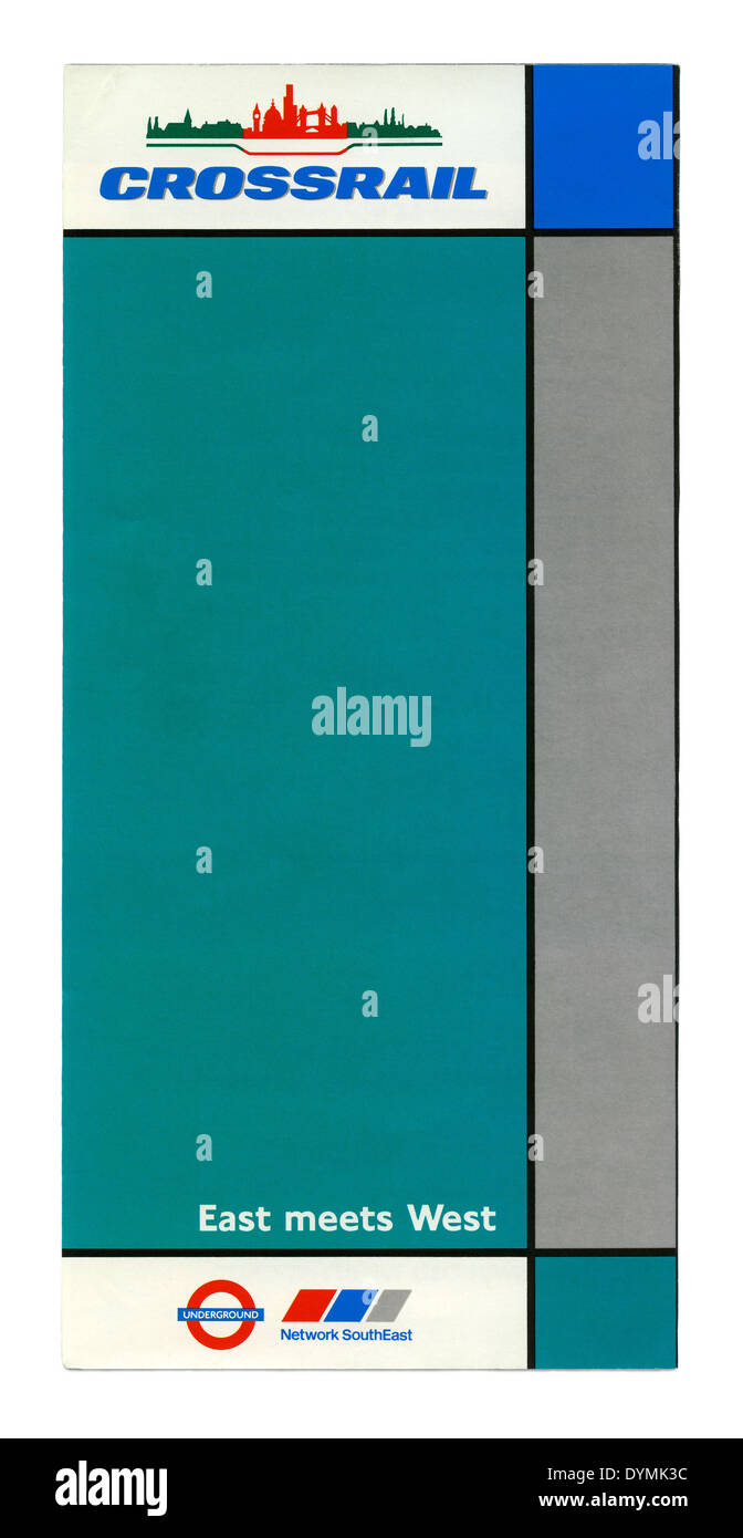 Cover of a Crossrail leaflet from the early 1990s with plans for the rail route below central London - with a line to Aylesbury Stock Photohttps://www.alamy.com/image-license-details/?v=1https://www.alamy.com/cover-of-a-crossrail-leaflet-from-the-early-1990s-with-plans-for-the-image68680848.html
RMDYMK3C–Cover of a Crossrail leaflet from the early 1990s with plans for the rail route below central London - with a line to Aylesbury
 Tourists in Central London Stock Photohttps://www.alamy.com/image-license-details/?v=1https://www.alamy.com/stock-photo-tourists-in-central-london-39927434.html
RMC8XRRP–Tourists in Central London
 People walk near Buckingham Palace in central London, on Good Friday. Stock Photohttps://www.alamy.com/image-license-details/?v=1https://www.alamy.com/people-walk-near-buckingham-palace-in-central-london-on-good-friday-image588716116.html
RM2W5P9BG–People walk near Buckingham Palace in central London, on Good Friday.
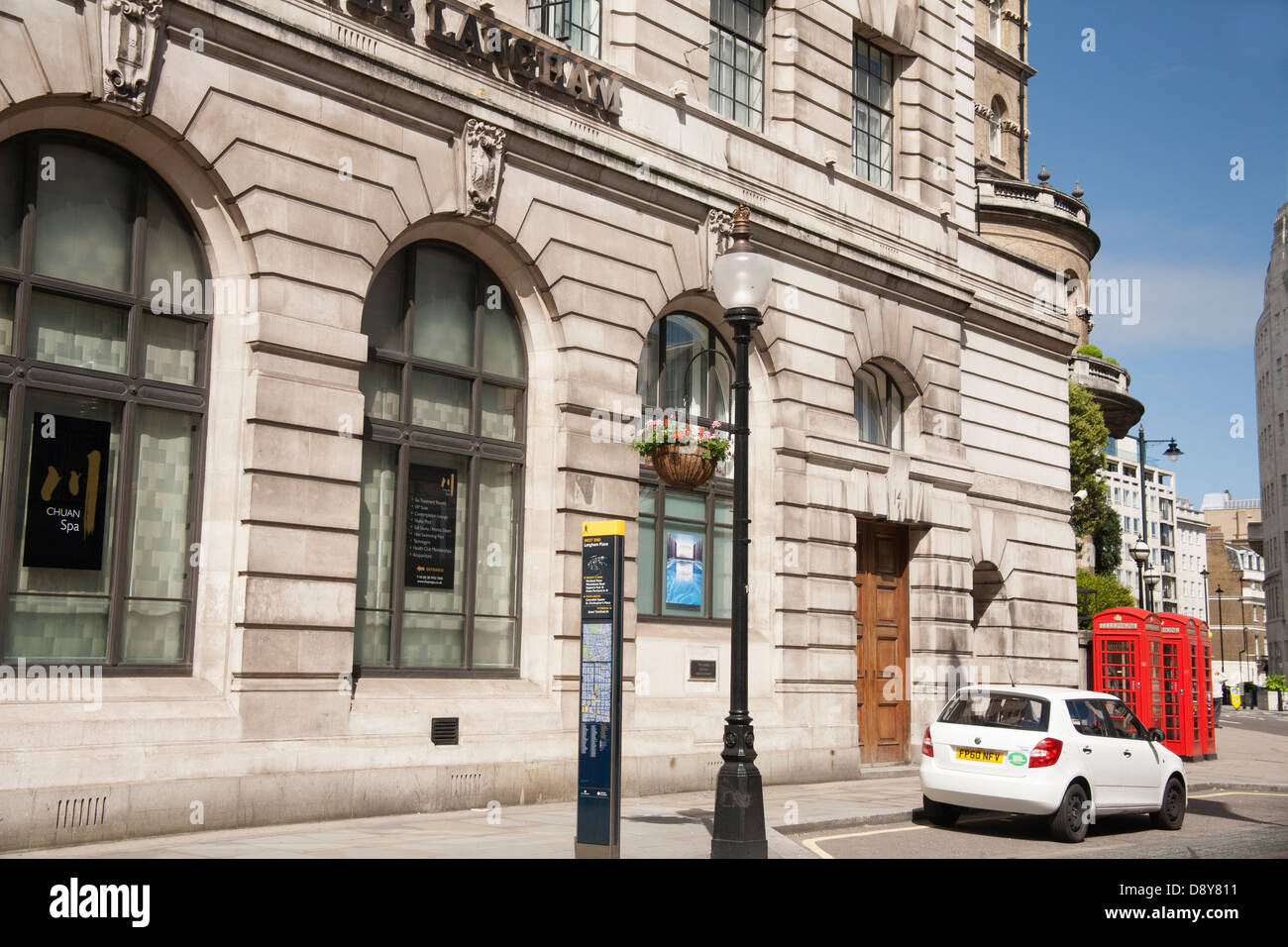 A typical central London view, England, UK, GB Stock Photohttps://www.alamy.com/image-license-details/?v=1https://www.alamy.com/stock-photo-a-typical-central-london-view-england-uk-gb-57147357.html
RFD8Y811–A typical central London view, England, UK, GB
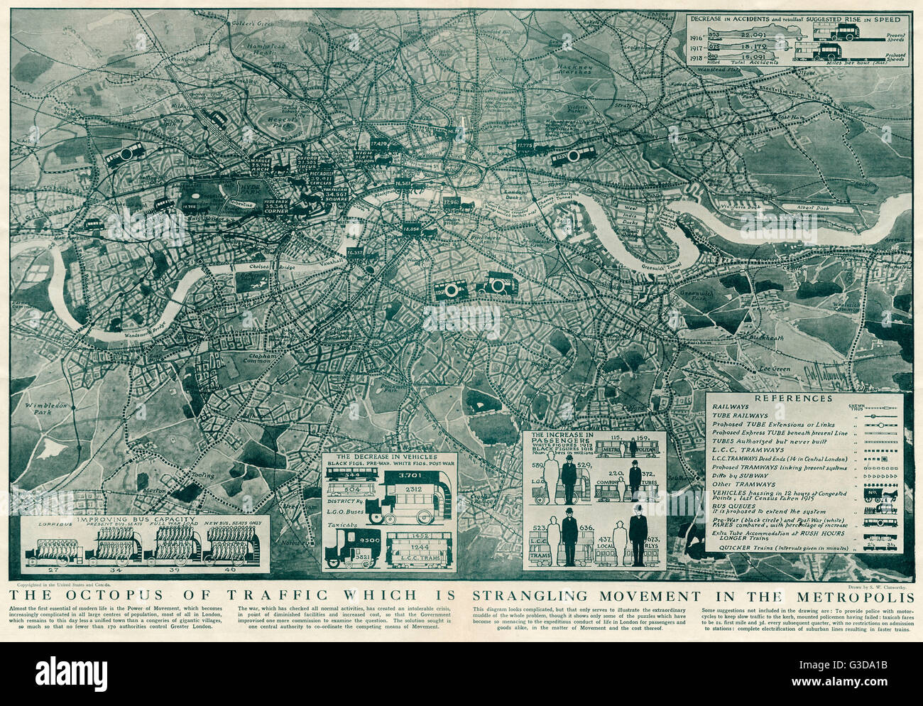 Proposed extensions of transport links into London 1919 Stock Photohttps://www.alamy.com/image-license-details/?v=1https://www.alamy.com/stock-photo-proposed-extensions-of-transport-links-into-london-1919-105399431.html
RMG3DA1B–Proposed extensions of transport links into London 1919
 London Underground Map lose up. Selective focus on tourist, film and art hotspots Leicester square and Covent garden on Northern and Piccadilly lines. Stock Photohttps://www.alamy.com/image-license-details/?v=1https://www.alamy.com/london-underground-map-lose-up-selective-focus-on-tourist-film-and-art-hotspots-leicester-square-and-covent-garden-on-northern-and-piccadilly-lines-image616807185.html
RF2XRDYT1–London Underground Map lose up. Selective focus on tourist, film and art hotspots Leicester square and Covent garden on Northern and Piccadilly lines.
 CENTRAL LONDON Bayswater Kensington Mayfair Southwark City Docks, 1905 old map Stock Photohttps://www.alamy.com/image-license-details/?v=1https://www.alamy.com/stock-photo-central-london-bayswater-kensington-mayfair-southwark-city-docks-1905-108072571.html
RFG7R3JK–CENTRAL LONDON Bayswater Kensington Mayfair Southwark City Docks, 1905 old map
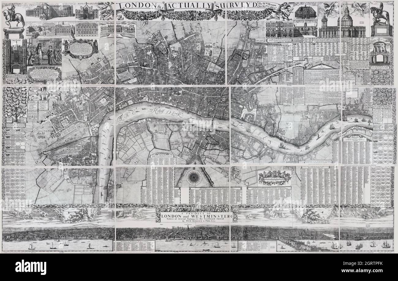 A prospect of London and Westminster. London Topographical Society, 1904. Map is from 1682. ”London & c. actually surveyed” Stock Photohttps://www.alamy.com/image-license-details/?v=1https://www.alamy.com/a-prospect-of-london-and-westminster-london-topographical-society-1904-map-is-from-1682-london-c-actually-surveyed-image444940823.html
RF2GRTPFK–A prospect of London and Westminster. London Topographical Society, 1904. Map is from 1682. ”London & c. actually surveyed”
 Girls with map, Portobello Antiques Market, Portobello Road, Notting Hill, Greater London, England, United Kingdom Stock Photohttps://www.alamy.com/image-license-details/?v=1https://www.alamy.com/stock-photo-girls-with-map-portobello-antiques-market-portobello-road-notting-29686146.html
RMBM88YE–Girls with map, Portobello Antiques Market, Portobello Road, Notting Hill, Greater London, England, United Kingdom
 Ancient 19th century map of Palestine central Ridge from the book Palestine illustrated by Sir Richard Temple, 1st Baronet, GCSI, CIE, PC, FRS (8 March 1826 – 15 March 1902) was an administrator in British India and a British politician. Published in London by W.H. Allen & Co. in 1888 Stock Photohttps://www.alamy.com/image-license-details/?v=1https://www.alamy.com/ancient-19th-century-map-of-palestine-central-ridge-from-the-book-palestine-illustrated-by-sir-richard-temple-1st-baronet-gcsi-cie-pc-frs-8-march-1826-15-march-1902-was-an-administrator-in-british-india-and-a-british-politician-published-in-london-by-wh-allen-co-in-1888-image376533453.html
RM2CTGG79–Ancient 19th century map of Palestine central Ridge from the book Palestine illustrated by Sir Richard Temple, 1st Baronet, GCSI, CIE, PC, FRS (8 March 1826 – 15 March 1902) was an administrator in British India and a British politician. Published in London by W.H. Allen & Co. in 1888
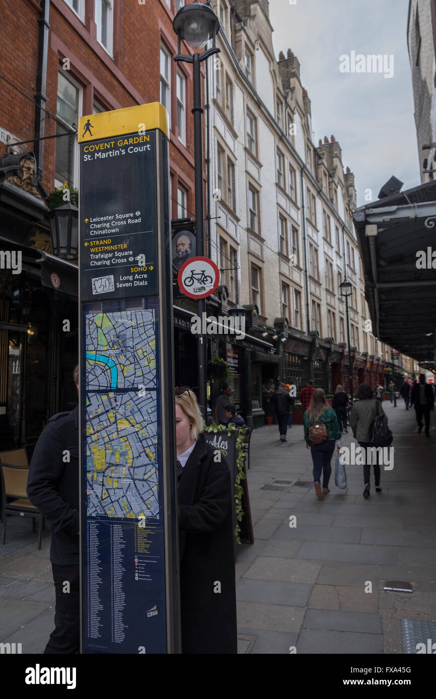 Tourists look at a sign board in central London UK Stock Photohttps://www.alamy.com/image-license-details/?v=1https://www.alamy.com/stock-photo-tourists-look-at-a-sign-board-in-central-london-uk-102255708.html
RMFXA45G–Tourists look at a sign board in central London UK
 Central London UK November 21 2021, Young Couple Reading A Map In Victoria Street London Stock Photohttps://www.alamy.com/image-license-details/?v=1https://www.alamy.com/central-london-uk-november-21-2021-young-couple-reading-a-map-in-victoria-street-london-image453411968.html
RM2H9JKGG–Central London UK November 21 2021, Young Couple Reading A Map In Victoria Street London
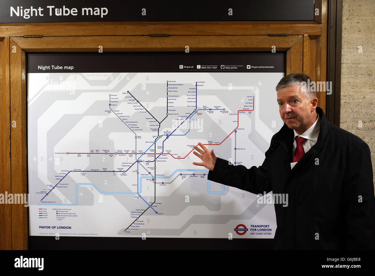 London Underground Managing Director Mike Brown with the Night Tube map after Mayor of London Boris Johnson announced a new 24 hour Tube service at weekends and changes to station staffing, at Piccadilly Circus Tube Station in central London. Stock Photohttps://www.alamy.com/image-license-details/?v=1https://www.alamy.com/stock-photo-london-underground-managing-director-mike-brown-with-the-night-tube-107354304.html
RMG6JBE8–London Underground Managing Director Mike Brown with the Night Tube map after Mayor of London Boris Johnson announced a new 24 hour Tube service at weekends and changes to station staffing, at Piccadilly Circus Tube Station in central London.
 Acton Central, Greater London, United Kingdom, England, N 51 30' 53'', W 0 16' 14'', map, Timeless Map published in 2021. Travelers, explorers and adventurers like Florence Nightingale, David Livingstone, Ernest Shackleton, Lewis and Clark and Sherlock Holmes relied on maps to plan travels to the world's most remote corners, Timeless Maps is mapping most locations on the globe, showing the achievement of great dreams Stock Photohttps://www.alamy.com/image-license-details/?v=1https://www.alamy.com/acton-central-greater-london-united-kingdom-england-n-51-30-53-w-0-16-14-map-timeless-map-published-in-2021-travelers-explorers-and-adventurers-like-florence-nightingale-david-livingstone-ernest-shackleton-lewis-and-clark-and-sherlock-holmes-relied-on-maps-to-plan-travels-to-the-worlds-most-remote-corners-timeless-maps-is-mapping-most-locations-on-the-globe-showing-the-achievement-of-great-dreams-image439412955.html
RM2GETYKR–Acton Central, Greater London, United Kingdom, England, N 51 30' 53'', W 0 16' 14'', map, Timeless Map published in 2021. Travelers, explorers and adventurers like Florence Nightingale, David Livingstone, Ernest Shackleton, Lewis and Clark and Sherlock Holmes relied on maps to plan travels to the world's most remote corners, Timeless Maps is mapping most locations on the globe, showing the achievement of great dreams
 Tourists in Central London. Credit: Sinai Noor / Alamy Stock Photohttps://www.alamy.com/image-license-details/?v=1https://www.alamy.com/tourists-in-central-london-credit-sinai-noor-alamy-image544174791.html
RF2PH98DY–Tourists in Central London. Credit: Sinai Noor / Alamy
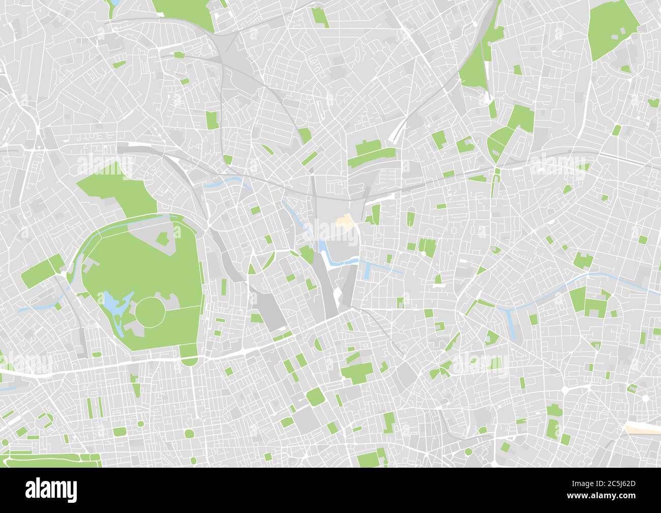 vector city map of North Central London, UK Stock Vectorhttps://www.alamy.com/image-license-details/?v=1https://www.alamy.com/vector-city-map-of-north-central-london-uk-image364890917.html
RF2C5J62D–vector city map of North Central London, UK
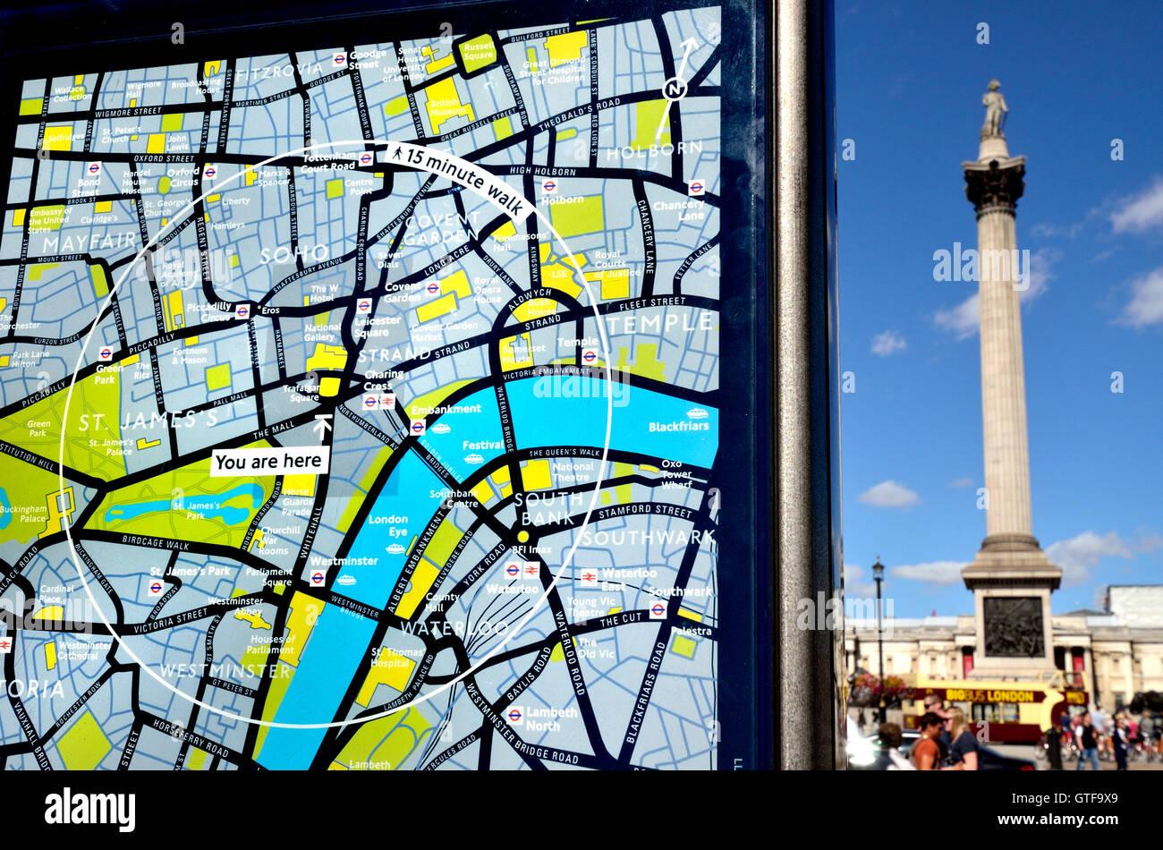 London, England, UK. 'You Are Here' tourist map in Whitehall, looking towards Nelsons Column Stock Photohttps://www.alamy.com/image-license-details/?v=1https://www.alamy.com/stock-photo-london-england-uk-you-are-here-tourist-map-in-whitehall-looking-towards-118351025.html
RMGTF9X9–London, England, UK. 'You Are Here' tourist map in Whitehall, looking towards Nelsons Column
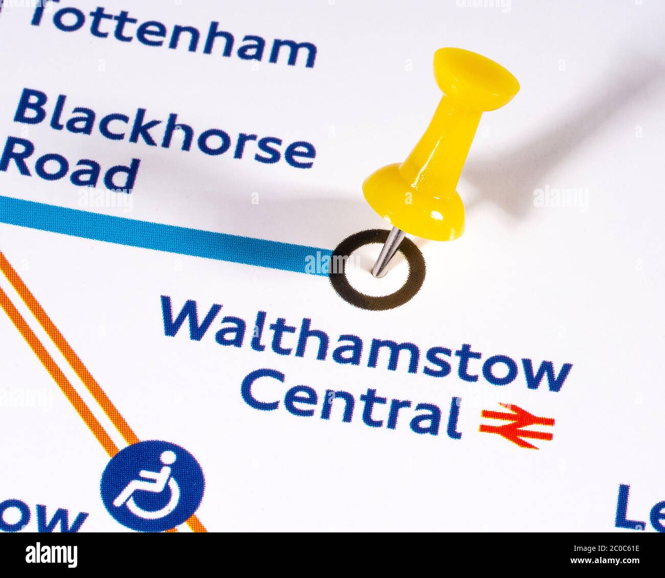 London, UK - June 10th 2020: A map pin marking the location of Walthamstow Central station on a London Underground tube Map. Stock Photohttps://www.alamy.com/image-license-details/?v=1https://www.alamy.com/london-uk-june-10th-2020-a-map-pin-marking-the-location-of-walthamstow-central-station-on-a-london-underground-tube-map-image361685898.html
RM2C0C61E–London, UK - June 10th 2020: A map pin marking the location of Walthamstow Central station on a London Underground tube Map.
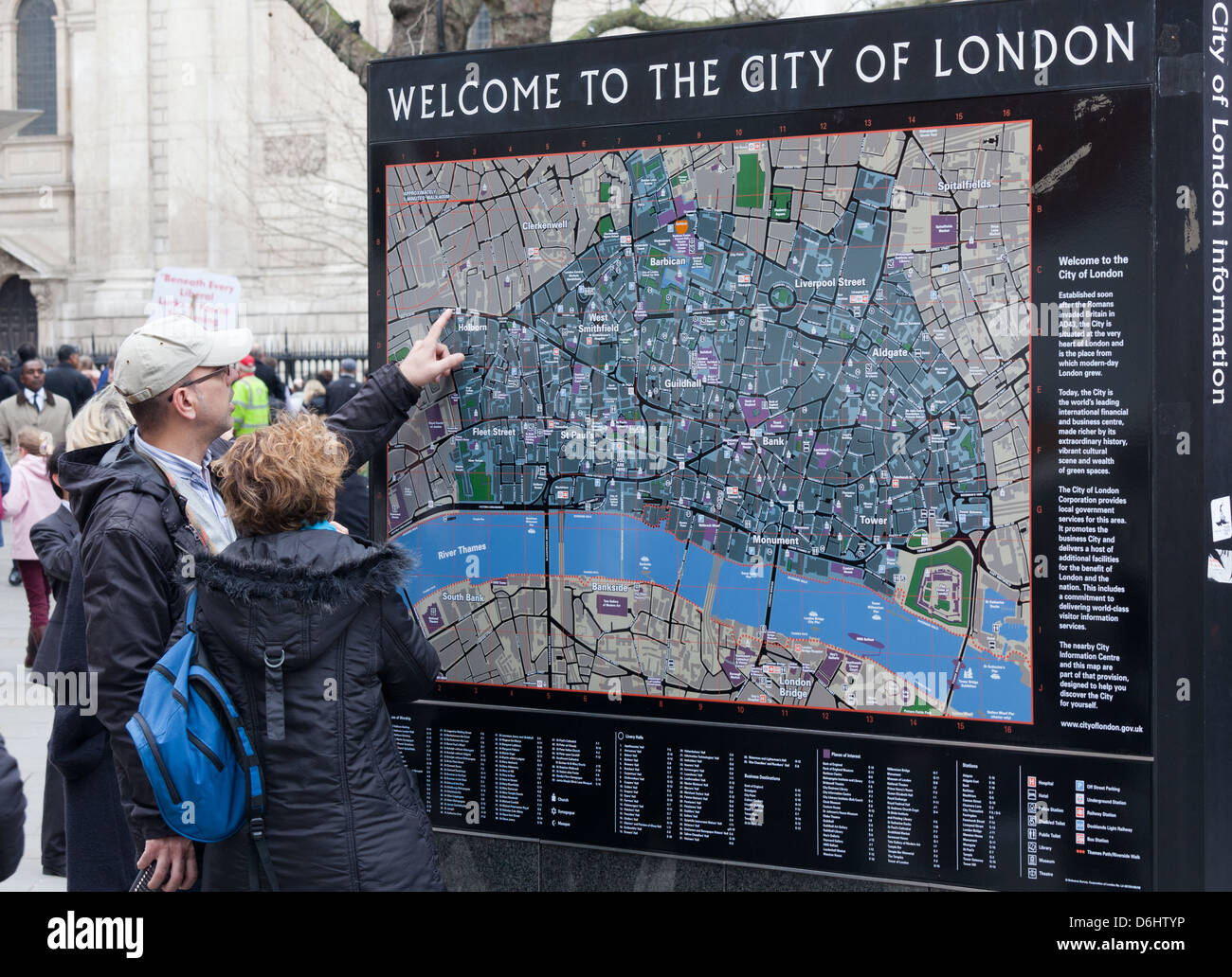 Tourists Reading a Tourist Map London UK Stock Photohttps://www.alamy.com/image-license-details/?v=1https://www.alamy.com/stock-photo-tourists-reading-a-tourist-map-london-uk-55711818.html
RMD6HTYP–Tourists Reading a Tourist Map London UK
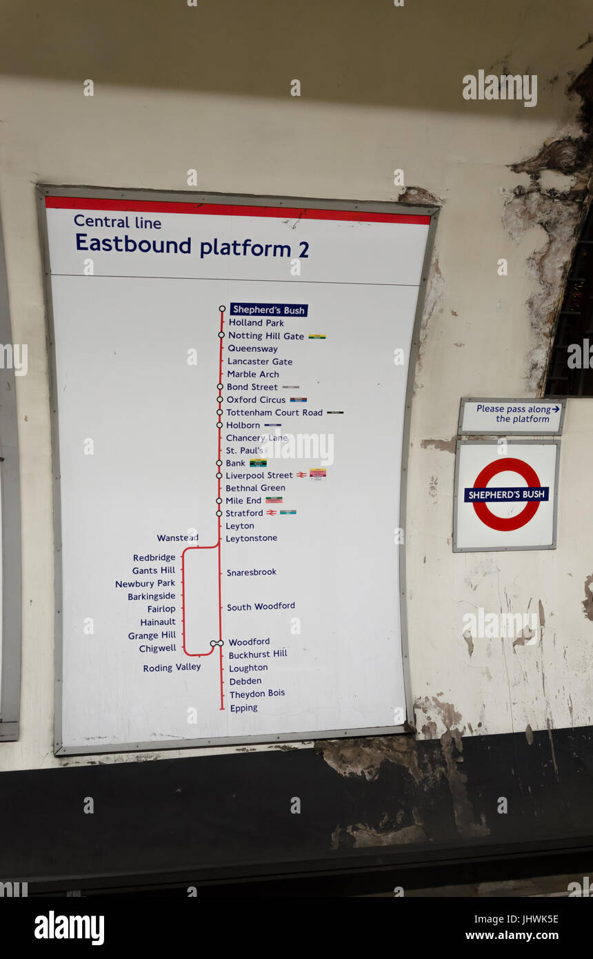 A map showing the route the central line trains take easbound form Notting Hill Gate station on the London Underground. Stock Photohttps://www.alamy.com/image-license-details/?v=1https://www.alamy.com/stock-photo-a-map-showing-the-route-the-central-line-trains-take-easbound-form-148695946.html
RFJHWK5E–A map showing the route the central line trains take easbound form Notting Hill Gate station on the London Underground.
 An old engraving showing a plan of The Tower of London, London, England, UK c. 1600. It is a historic castle on the north bank of the River Thames in central London. It was founded towards the end of 1066 as part of the Norman Conquest of England. The central White Tower was built by William the Conqueror in 1078. A grand palace early in its history, it was a royal residence. The Tower is a complex of several buildings set within two concentric rings of defensive walls and a moat. There were several phases of expansion, mainly in the 12th and 13th centuries. The general layout remains. Stock Photohttps://www.alamy.com/image-license-details/?v=1https://www.alamy.com/an-old-engraving-showing-a-plan-of-the-tower-of-london-london-england-uk-c-1600-it-is-a-historic-castle-on-the-north-bank-of-the-river-thames-in-central-london-it-was-founded-towards-the-end-of-1066-as-part-of-the-norman-conquest-of-england-the-central-white-tower-was-built-by-william-the-conqueror-in-1078-a-grand-palace-early-in-its-history-it-was-a-royal-residence-the-tower-is-a-complex-of-several-buildings-set-within-two-concentric-rings-of-defensive-walls-and-a-moat-there-were-several-phases-of-expansion-mainly-in-the-12th-and-13th-centuries-the-general-layout-remains-image366265395.html
RM2C7TR6Y–An old engraving showing a plan of The Tower of London, London, England, UK c. 1600. It is a historic castle on the north bank of the River Thames in central London. It was founded towards the end of 1066 as part of the Norman Conquest of England. The central White Tower was built by William the Conqueror in 1078. A grand palace early in its history, it was a royal residence. The Tower is a complex of several buildings set within two concentric rings of defensive walls and a moat. There were several phases of expansion, mainly in the 12th and 13th centuries. The general layout remains.
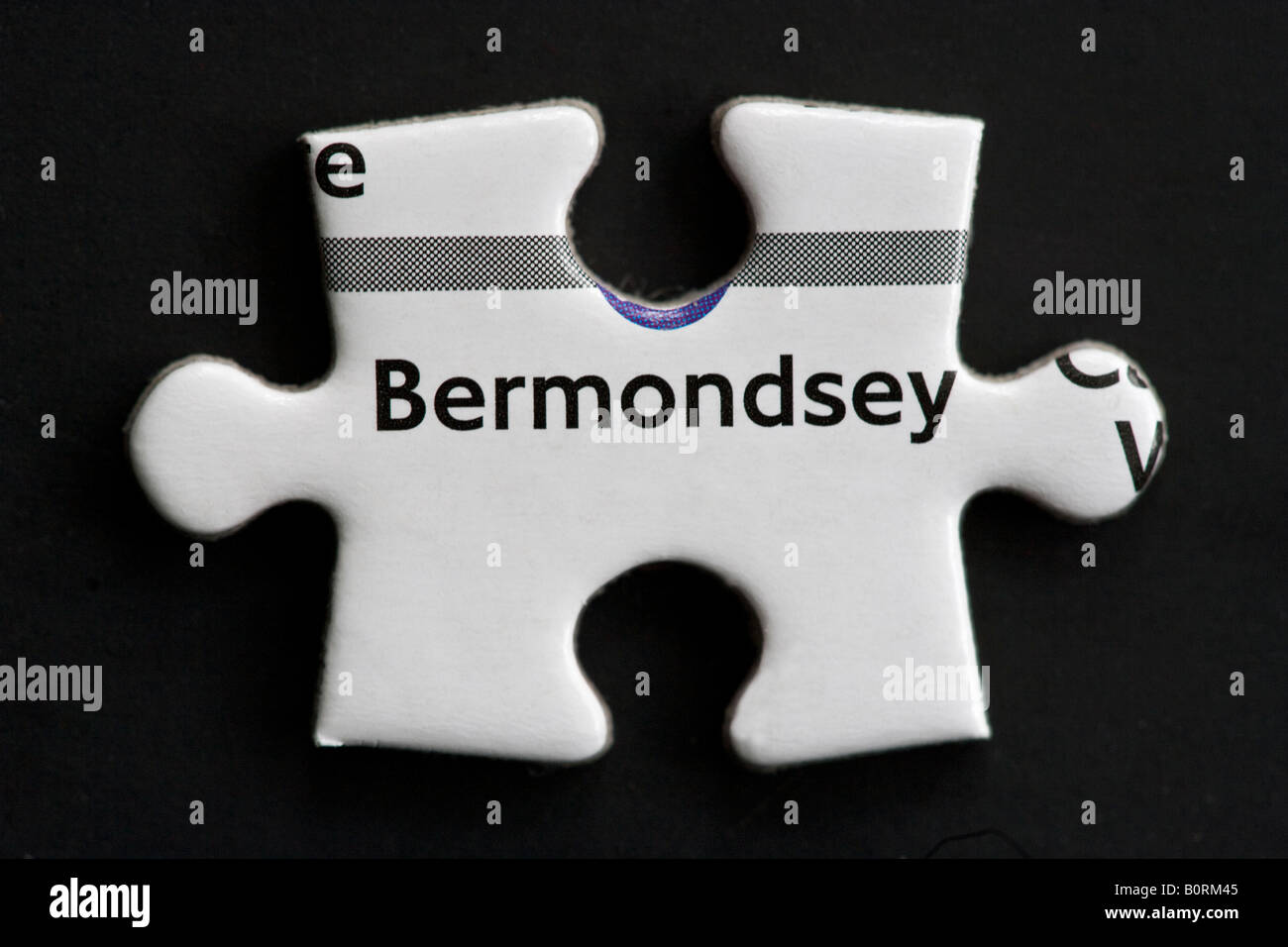 Bermondsey Map Jigsaw Piece London Stock Photohttps://www.alamy.com/image-license-details/?v=1https://www.alamy.com/stock-photo-bermondsey-map-jigsaw-piece-london-17731061.html
RMB0RM45–Bermondsey Map Jigsaw Piece London
 Engraving of Charing Cross, London, in 1690, published circa 1880 Stock Photohttps://www.alamy.com/image-license-details/?v=1https://www.alamy.com/engraving-of-charing-cross-london-in-1690-published-circa-1880-image537037118.html
RM2P5M492–Engraving of Charing Cross, London, in 1690, published circa 1880
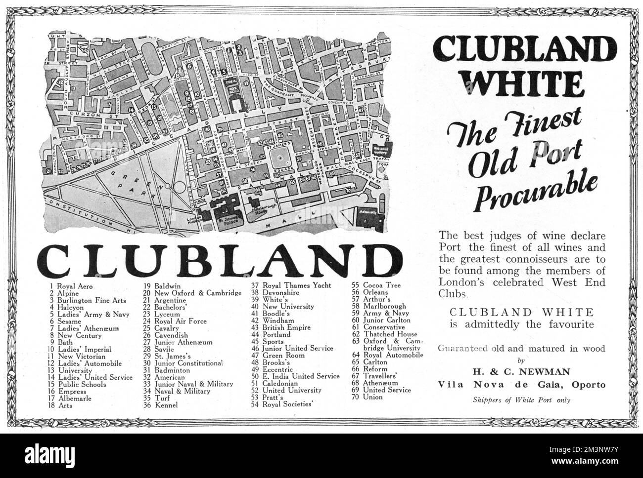 Advertisement for Clubland White, the 'finest old port procurable...to be found among the members of London's celebrated West End Clubs'. The advert includes an interesting map and key to 70 of the clubs located in Central London, many of them still in existence today. Date: 1927 Stock Photohttps://www.alamy.com/image-license-details/?v=1https://www.alamy.com/advertisement-for-clubland-white-the-finest-old-port-procurableto-be-found-among-the-members-of-londons-celebrated-west-end-clubs-the-advert-includes-an-interesting-map-and-key-to-70-of-the-clubs-located-in-central-london-many-of-them-still-in-existence-today-date-1927-image501425455.html
RM2M3NW7Y–Advertisement for Clubland White, the 'finest old port procurable...to be found among the members of London's celebrated West End Clubs'. The advert includes an interesting map and key to 70 of the clubs located in Central London, many of them still in existence today. Date: 1927
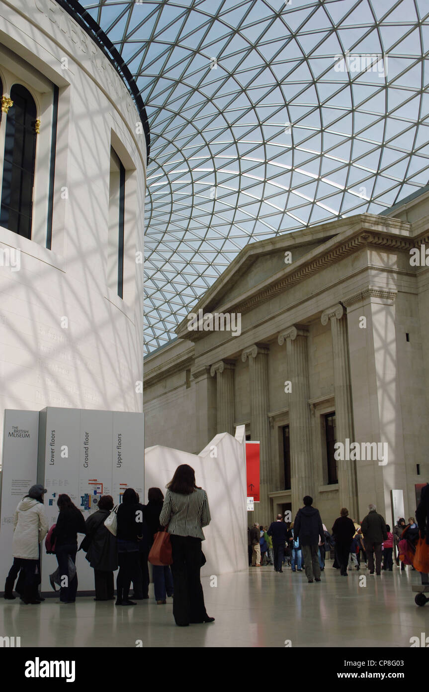 British Museum. Queen Elizabeth II Great Court, designed by Foster and Partners. 2000. London. United Kingdom. Stock Photohttps://www.alamy.com/image-license-details/?v=1https://www.alamy.com/stock-photo-british-museum-queen-elizabeth-ii-great-court-designed-by-foster-and-48131331.html
RMCP8G03–British Museum. Queen Elizabeth II Great Court, designed by Foster and Partners. 2000. London. United Kingdom.
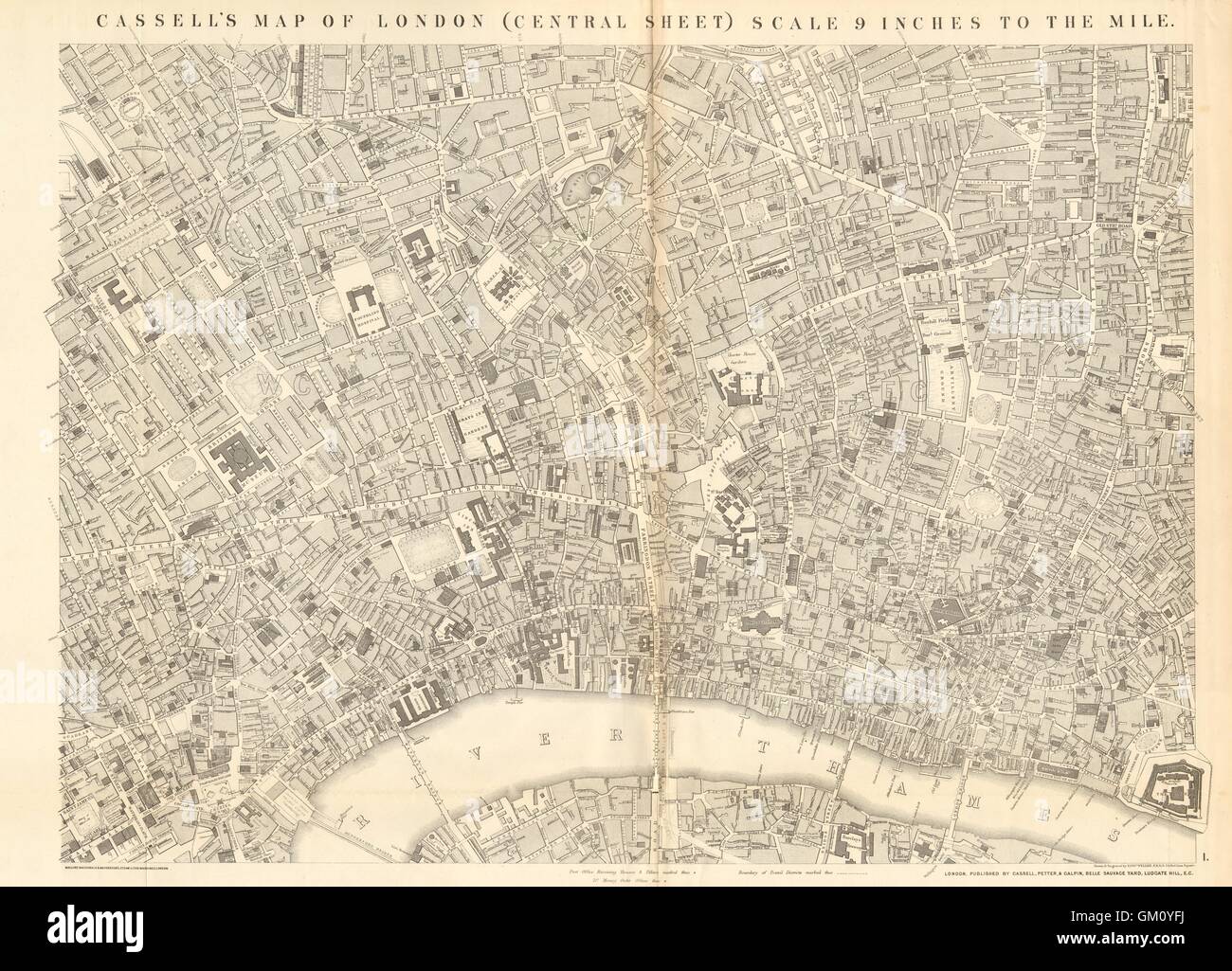 CASSELLS LONDON Central. Bloomsbury Covent Garden City Holborn. WELLER, 1863 map Stock Photohttps://www.alamy.com/image-license-details/?v=1https://www.alamy.com/stock-photo-cassells-london-central-bloomsbury-covent-garden-city-holborn-weller-115576934.html
RFGM0YFJ–CASSELLS LONDON Central. Bloomsbury Covent Garden City Holborn. WELLER, 1863 map
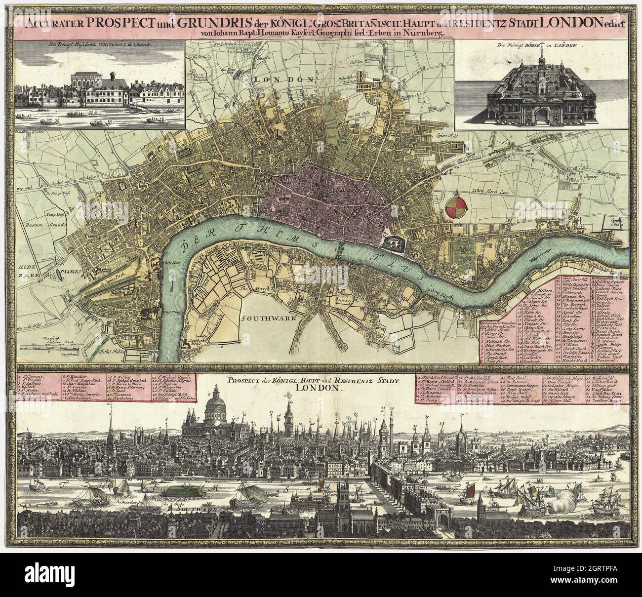 Accurater Prospect und Grundris der Königl. Gros-Britan̄isch. Haupt- und Residentz-Stadt London – German map of London. Nürnberg, 1740. Stock Photohttps://www.alamy.com/image-license-details/?v=1https://www.alamy.com/accurater-prospect-und-grundris-der-knigl-gros-britanisch-haupt-und-residentz-stadt-london-german-map-of-london-nrnberg-1740-image444940814.html
RF2GRTPFA–Accurater Prospect und Grundris der Königl. Gros-Britan̄isch. Haupt- und Residentz-Stadt London – German map of London. Nürnberg, 1740.
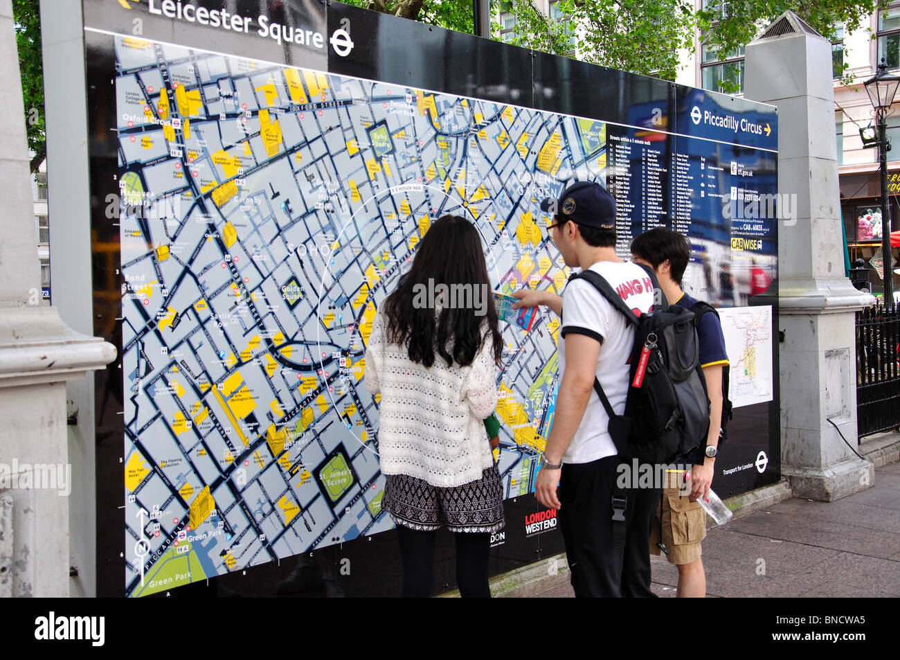 London tourist information map, Leicester Square, West End, The City of Westminster, Greater London, England, United Kingdom Stock Photohttps://www.alamy.com/image-license-details/?v=1https://www.alamy.com/stock-photo-london-tourist-information-map-leicester-square-west-end-the-city-30401453.html
RMBNCWA5–London tourist information map, Leicester Square, West End, The City of Westminster, Greater London, England, United Kingdom
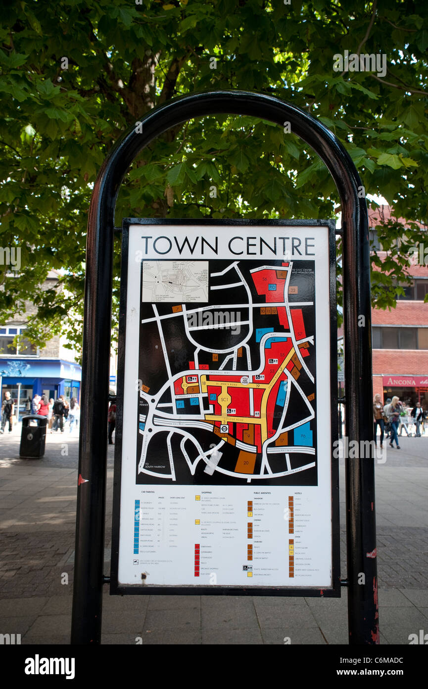 A map of Harrow town centre , September 2011 Stock Photohttps://www.alamy.com/image-license-details/?v=1https://www.alamy.com/stock-photo-a-map-of-harrow-town-centre-september-2011-38555928.html
RMC6MADC–A map of Harrow town centre , September 2011
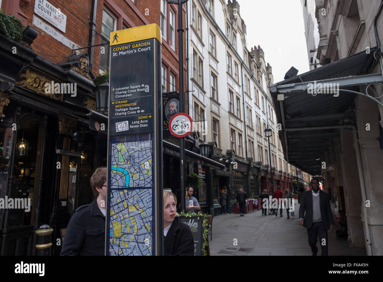 Tourists look at a sign board in central London UK Stock Photohttps://www.alamy.com/image-license-details/?v=1https://www.alamy.com/stock-photo-tourists-look-at-a-sign-board-in-central-london-uk-102255709.html
RMFXA45H–Tourists look at a sign board in central London UK
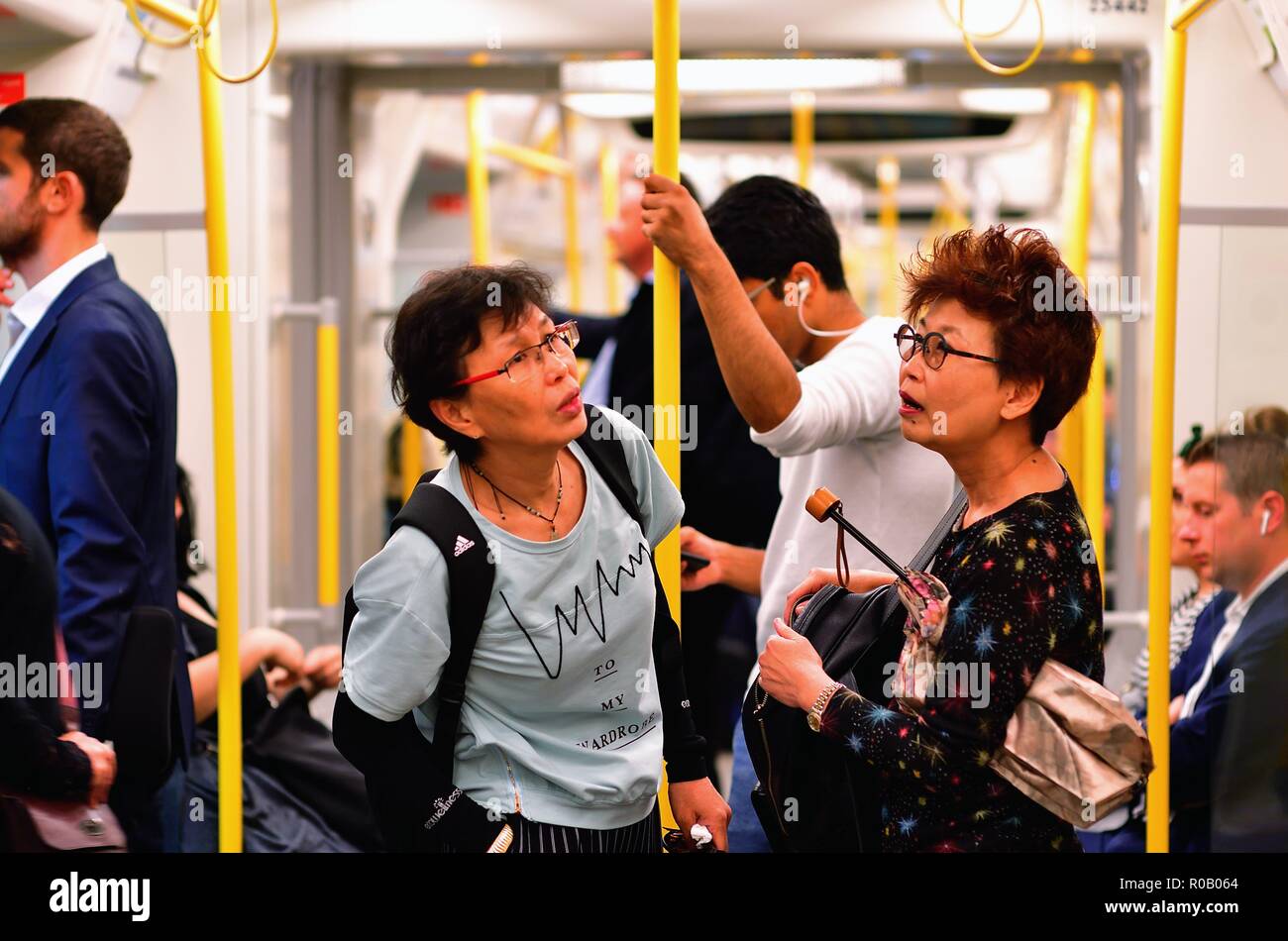 London, England, United Kingdom. Riders checking out a route map on underground (or tube or subway) train beneath Central London. Stock Photohttps://www.alamy.com/image-license-details/?v=1https://www.alamy.com/london-england-united-kingdom-riders-checking-out-a-route-map-on-underground-or-tube-or-subway-train-beneath-central-london-image223976428.html
RMR0B064–London, England, United Kingdom. Riders checking out a route map on underground (or tube or subway) train beneath Central London.
 Annie Nightingale (left) after presenting The Music Special Award for 'Malcolm McLaren's Musical Map of London' at the Sony Radio Academy Awards 2007 at the Grosvenor House Hotel, central London. PRESS ASSOCIATION Photo. Picture date: Monday 30 April 2007. Photo credit should read: Yui Mok/PA Wire Stock Photohttps://www.alamy.com/image-license-details/?v=1https://www.alamy.com/stock-photo-annie-nightingale-left-after-presenting-the-music-special-award-for-109360270.html
RMG9WP3X–Annie Nightingale (left) after presenting The Music Special Award for 'Malcolm McLaren's Musical Map of London' at the Sony Radio Academy Awards 2007 at the Grosvenor House Hotel, central London. PRESS ASSOCIATION Photo. Picture date: Monday 30 April 2007. Photo credit should read: Yui Mok/PA Wire
 London Lakes, Central Highlands, Australia, Tasmania, S 42 11' 31'', E 146 31' 37'', map, Timeless Map published in 2021. Travelers, explorers and adventurers like Florence Nightingale, David Livingstone, Ernest Shackleton, Lewis and Clark and Sherlock Holmes relied on maps to plan travels to the world's most remote corners, Timeless Maps is mapping most locations on the globe, showing the achievement of great dreams Stock Photohttps://www.alamy.com/image-license-details/?v=1https://www.alamy.com/london-lakes-central-highlands-australia-tasmania-s-42-11-31-e-146-31-37-map-timeless-map-published-in-2021-travelers-explorers-and-adventurers-like-florence-nightingale-david-livingstone-ernest-shackleton-lewis-and-clark-and-sherlock-holmes-relied-on-maps-to-plan-travels-to-the-worlds-most-remote-corners-timeless-maps-is-mapping-most-locations-on-the-globe-showing-the-achievement-of-great-dreams-image457794336.html
RM2HGP99M–London Lakes, Central Highlands, Australia, Tasmania, S 42 11' 31'', E 146 31' 37'', map, Timeless Map published in 2021. Travelers, explorers and adventurers like Florence Nightingale, David Livingstone, Ernest Shackleton, Lewis and Clark and Sherlock Holmes relied on maps to plan travels to the world's most remote corners, Timeless Maps is mapping most locations on the globe, showing the achievement of great dreams
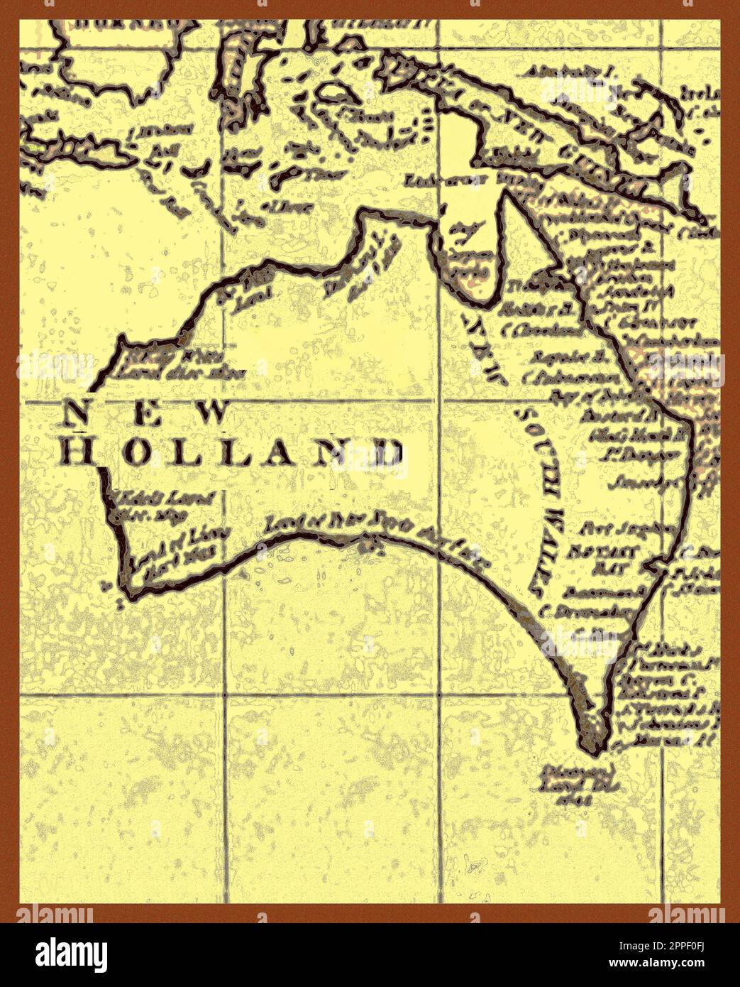 MAP - New Holland (Australia) 1787 as charted by Captain James Cook. The long held belief that Captain Cook’s son James, died without issue has in 2024 been disputed in a new book. “The Untold Story of Captain James Cook R N”. (Pen & Sword books – ISBN 978-1399056960 ). Verifiable history changing evidence is based on the discovery of a newly discovered 18th century government document discovered in the British National Archives. Stock Photohttps://www.alamy.com/image-license-details/?v=1https://www.alamy.com/map-new-holland-australia-1787-as-charted-by-captain-james-cook-the-long-held-belief-that-captain-cooks-son-james-died-without-issue-has-in-2024-been-disputed-in-a-new-book-the-untold-story-of-captain-james-cook-r-n-pen-sword-books-isbn-978-1399056960-verifiable-history-changing-evidence-is-based-on-the-discovery-of-a-newly-discovered-18th-century-government-document-discovered-in-the-british-national-archives-image547373558.html
RM2PPF0FJ–MAP - New Holland (Australia) 1787 as charted by Captain James Cook. The long held belief that Captain Cook’s son James, died without issue has in 2024 been disputed in a new book. “The Untold Story of Captain James Cook R N”. (Pen & Sword books – ISBN 978-1399056960 ). Verifiable history changing evidence is based on the discovery of a newly discovered 18th century government document discovered in the British National Archives.
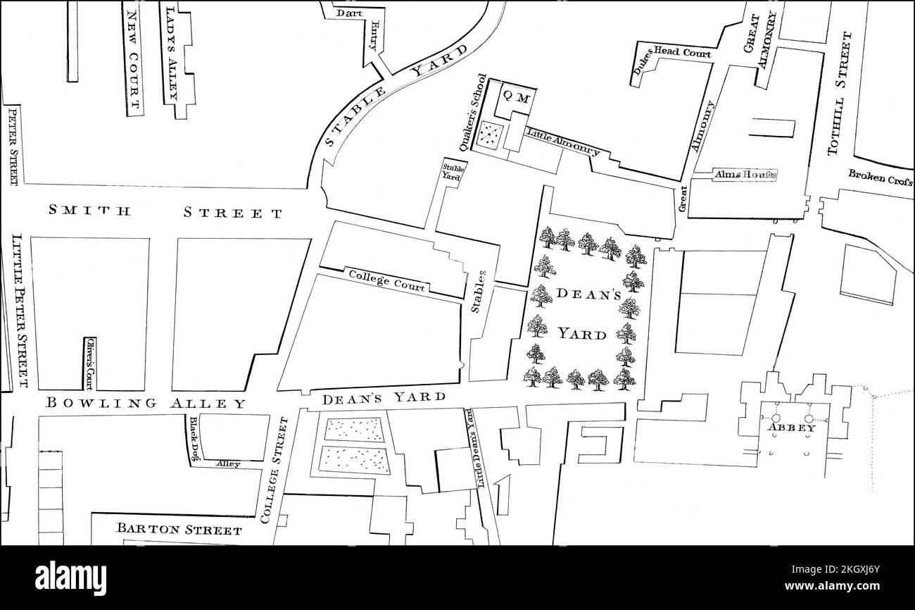 Map of Westminster, London, England, 1748 Stock Photohttps://www.alamy.com/image-license-details/?v=1https://www.alamy.com/map-of-westminster-london-england-1748-image492309859.html
RM2KGXJ6Y–Map of Westminster, London, England, 1748
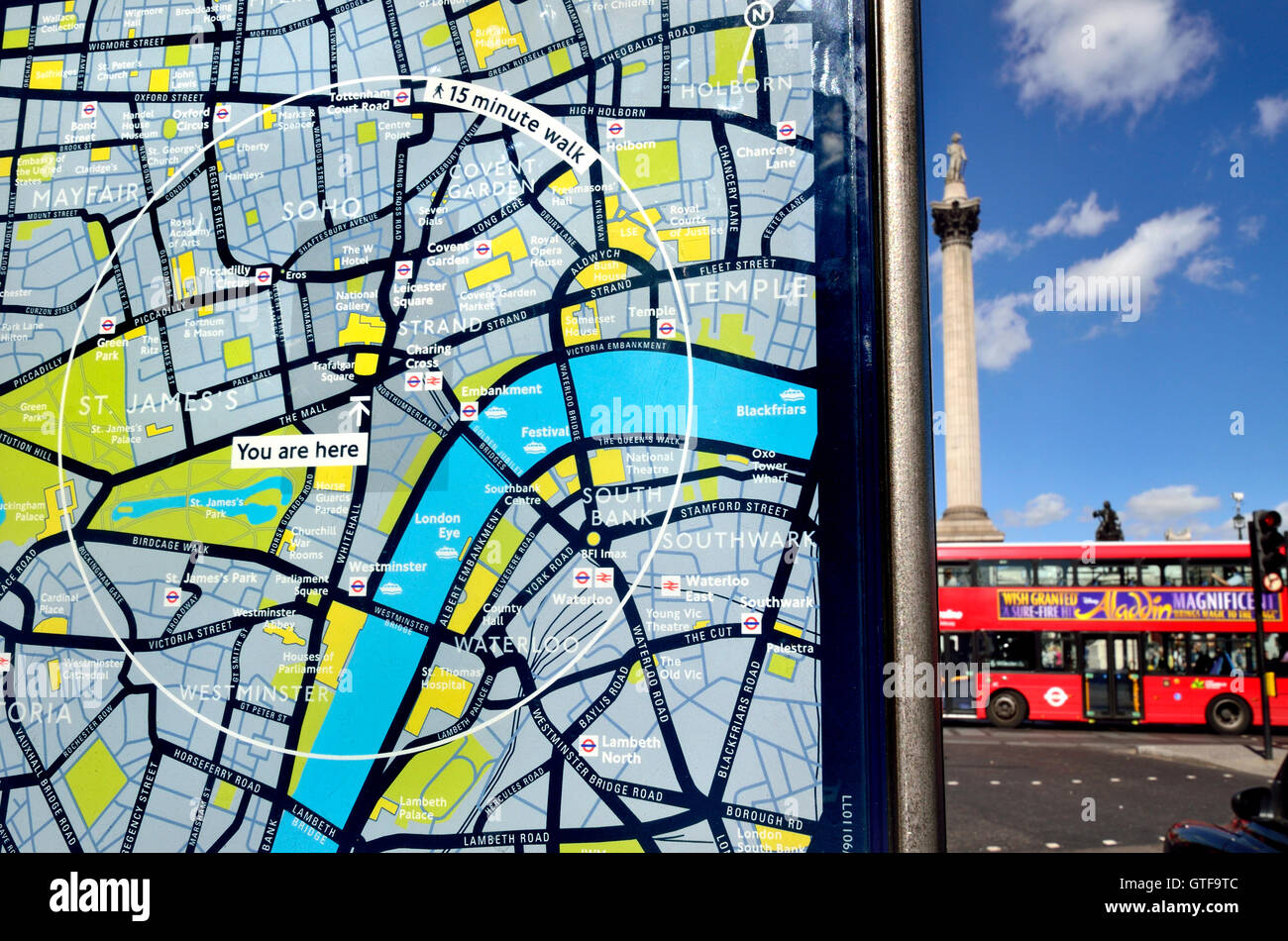 London, England, UK. 'You are Here' tourist map in Trafalgar Square, Nelson's Column visible in background. Stock Photohttps://www.alamy.com/image-license-details/?v=1https://www.alamy.com/stock-photo-london-england-uk-you-are-here-tourist-map-in-trafalgar-square-nelsons-118350972.html
RMGTF9TC–London, England, UK. 'You are Here' tourist map in Trafalgar Square, Nelson's Column visible in background.
 London, UK - June 10th 2020: A map pin marking the location of Walthamstow Central station on a London Underground tube Map. Stock Photohttps://www.alamy.com/image-license-details/?v=1https://www.alamy.com/london-uk-june-10th-2020-a-map-pin-marking-the-location-of-walthamstow-central-station-on-a-london-underground-tube-map-image361686184.html
RM2C0C6BM–London, UK - June 10th 2020: A map pin marking the location of Walthamstow Central station on a London Underground tube Map.
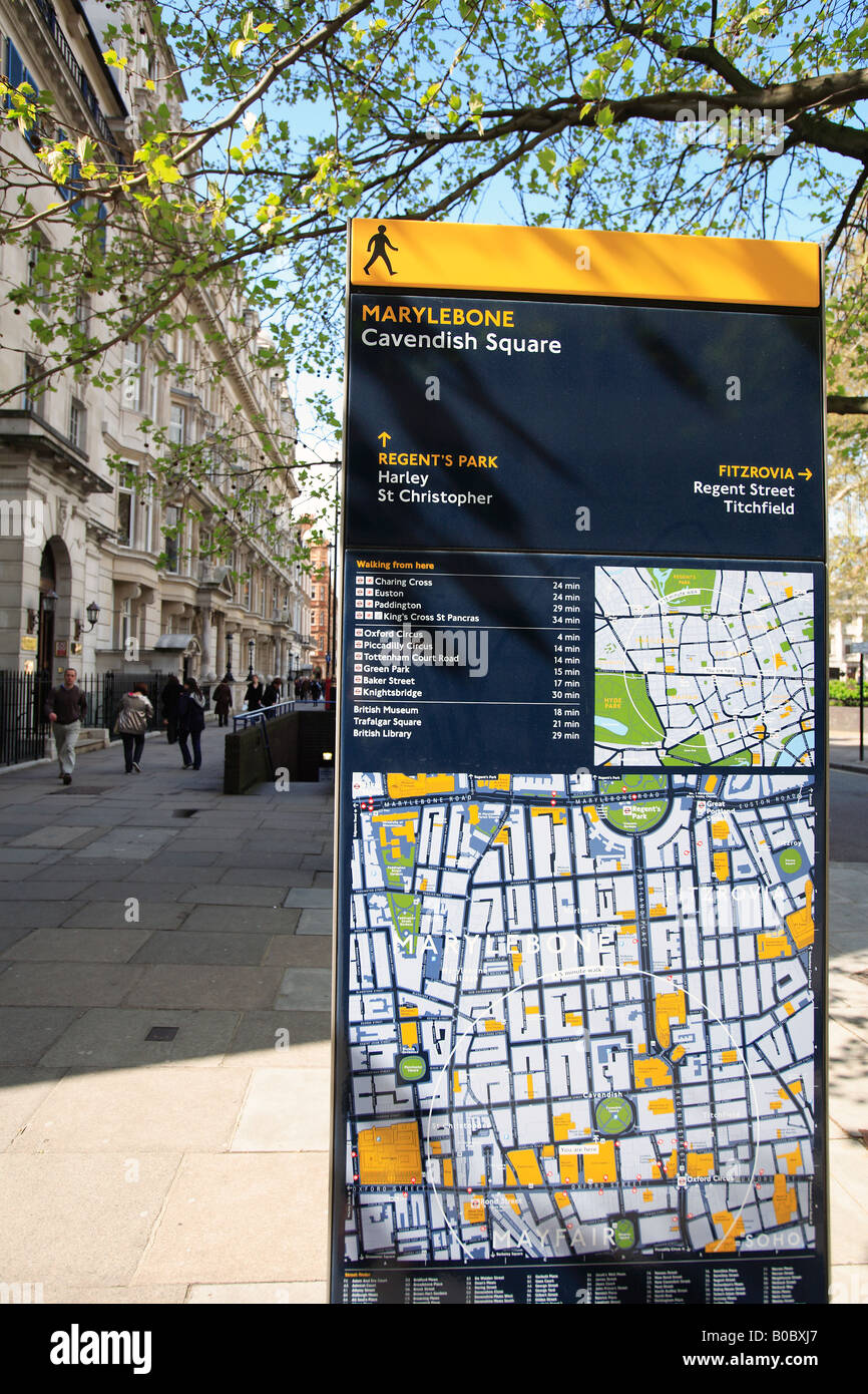 united kingdom central london w1 tourist information sign in cavendish square Stock Photohttps://www.alamy.com/image-license-details/?v=1https://www.alamy.com/stock-photo-united-kingdom-central-london-w1-tourist-information-sign-in-cavendish-17472735.html
RMB0BXJ7–united kingdom central london w1 tourist information sign in cavendish square
 Tourists and a London sightseeing double decker bus at Charing Cross Station central London England UK Stock Photohttps://www.alamy.com/image-license-details/?v=1https://www.alamy.com/stock-photo-tourists-and-a-london-sightseeing-double-decker-bus-at-charing-cross-34012021.html
RMBY9AK1–Tourists and a London sightseeing double decker bus at Charing Cross Station central London England UK
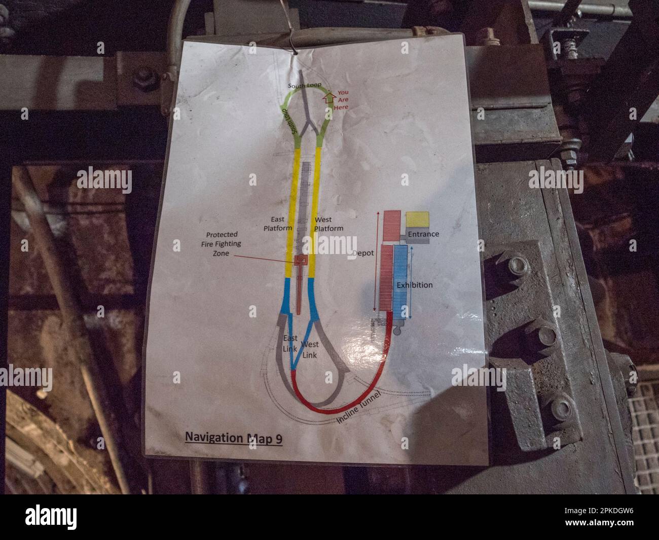 Map showing tour route visitors follow in Mail Rail, the former Post Office Railway system under the streets of central London, UK. Stock Photohttps://www.alamy.com/image-license-details/?v=1https://www.alamy.com/map-showing-tour-route-visitors-follow-in-mail-rail-the-former-post-office-railway-system-under-the-streets-of-central-london-uk-image545498498.html
RM2PKDGW6–Map showing tour route visitors follow in Mail Rail, the former Post Office Railway system under the streets of central London, UK.
 Jigsaw Map Piece London Underground Tube Stock Photohttps://www.alamy.com/image-license-details/?v=1https://www.alamy.com/stock-photo-jigsaw-map-piece-london-underground-tube-17725979.html
RMB0RDJK–Jigsaw Map Piece London Underground Tube
 A red pushpointer pointing at St. Paul's Cathedral in central London Stock Photohttps://www.alamy.com/image-license-details/?v=1https://www.alamy.com/stock-photo-a-red-pushpointer-pointing-at-st-pauls-cathedral-in-central-london-79947629.html
RFEJ1X0D–A red pushpointer pointing at St. Paul's Cathedral in central London
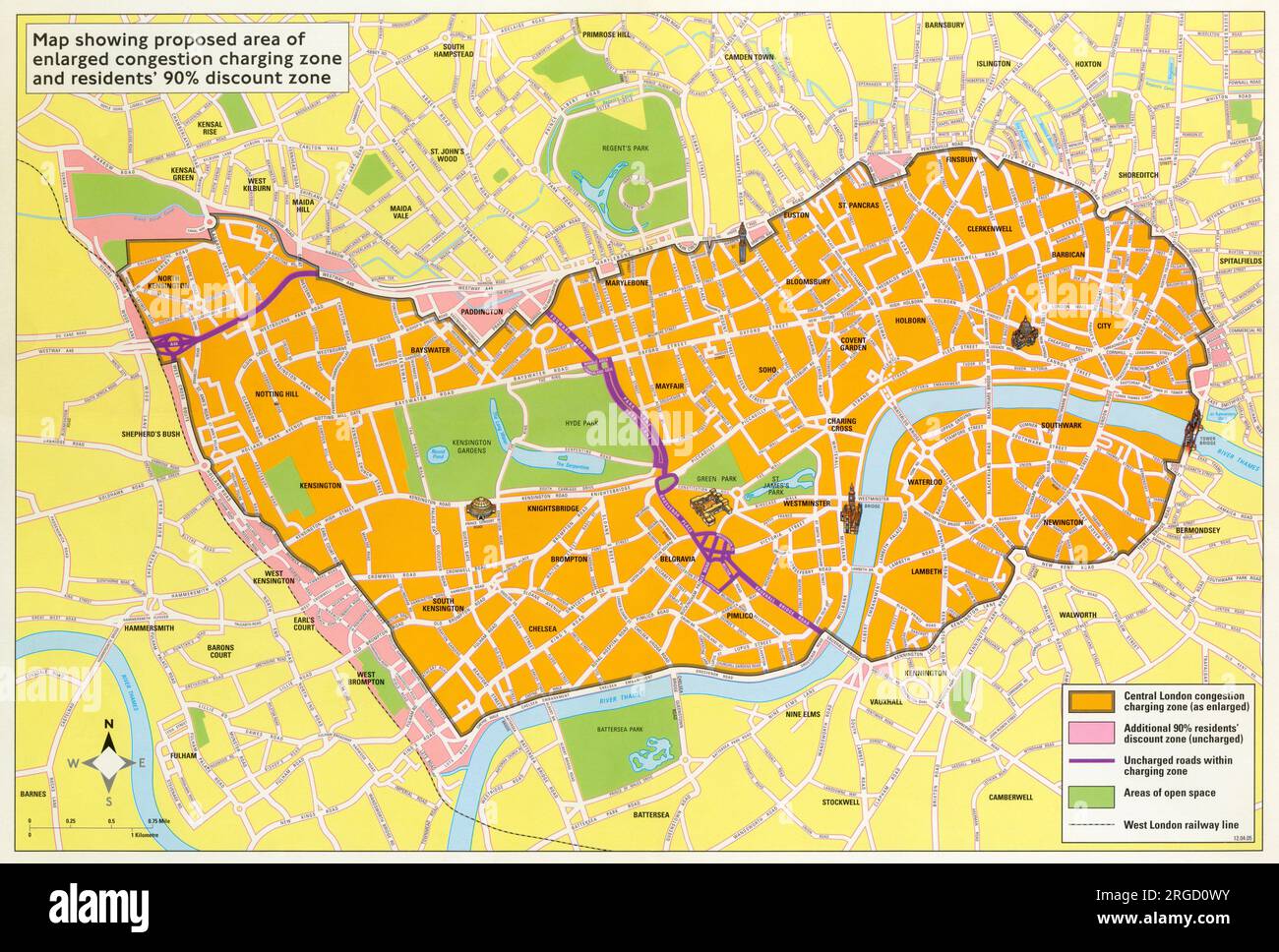 Congestion Charge Proposed extension - London. Stock Photohttps://www.alamy.com/image-license-details/?v=1https://www.alamy.com/congestion-charge-proposed-extension-london-image560852375.html
RM2RGD0WY–Congestion Charge Proposed extension - London.
 Trains arriving and leaving Finchley Central Tube Station Stock Photohttps://www.alamy.com/image-license-details/?v=1https://www.alamy.com/trains-arriving-and-leaving-finchley-central-tube-station-image230422765.html
RFRATJGD–Trains arriving and leaving Finchley Central Tube Station
 CENTRAL LONDON-SECTION 2 vintage town/city plan. London. WARD LOCK, 1932 map Stock Photohttps://www.alamy.com/image-license-details/?v=1https://www.alamy.com/stock-photo-central-london-section-2-vintage-towncity-plan-london-ward-lock-1932-115418557.html
RFGKNNF9–CENTRAL LONDON-SECTION 2 vintage town/city plan. London. WARD LOCK, 1932 map
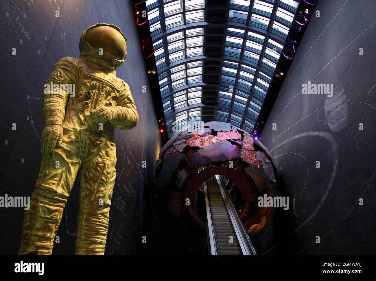 London, England - 2013; The Natural History Museum in London is a vast and much-loved natural history museum that exhibits a wide range of specimens c Stock Photohttps://www.alamy.com/image-license-details/?v=1https://www.alamy.com/london-england-2013-the-natural-history-museum-in-london-is-a-vast-and-much-loved-natural-history-museum-that-exhibits-a-wide-range-of-specimens-c-image443109734.html
RM2GMWAYJ–London, England - 2013; The Natural History Museum in London is a vast and much-loved natural history museum that exhibits a wide range of specimens c
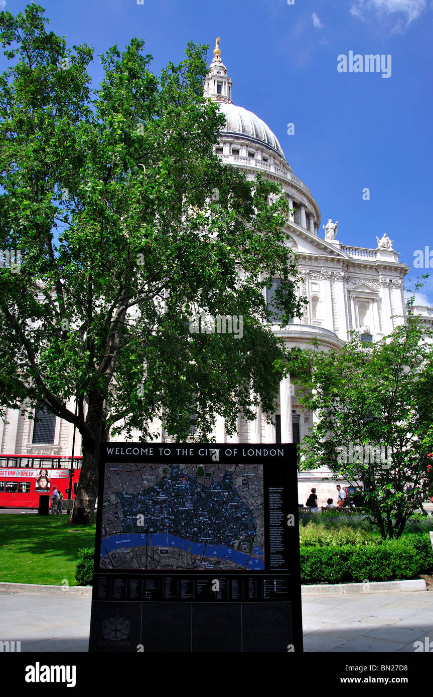 City of London map by St.Paul's Cathedral, Ludgate Hill, City of London, London, England, United Kingdom Stock Photohttps://www.alamy.com/image-license-details/?v=1https://www.alamy.com/stock-photo-city-of-london-map-by-stpauls-cathedral-ludgate-hill-city-of-london-30167908.html
RMBN27D8–City of London map by St.Paul's Cathedral, Ludgate Hill, City of London, London, England, United Kingdom
 UK London Horse Guards Road tourists looking at board explaining Horse Guards Buildings Stock Photohttps://www.alamy.com/image-license-details/?v=1https://www.alamy.com/stock-photo-uk-london-horse-guards-road-tourists-looking-at-board-explaining-horse-15371520.html
RMAN0F6W–UK London Horse Guards Road tourists looking at board explaining Horse Guards Buildings
 Hyde Park London in autumn, park entrance and tourist information signs signage and map to locations in the Royal park, Central London,England,UK,2023 Stock Photohttps://www.alamy.com/image-license-details/?v=1https://www.alamy.com/hyde-park-london-in-autumn-park-entrance-and-tourist-information-signs-signage-and-map-to-locations-in-the-royal-park-central-londonenglanduk2023-image606281888.html
RM2X6AEMG–Hyde Park London in autumn, park entrance and tourist information signs signage and map to locations in the Royal park, Central London,England,UK,2023
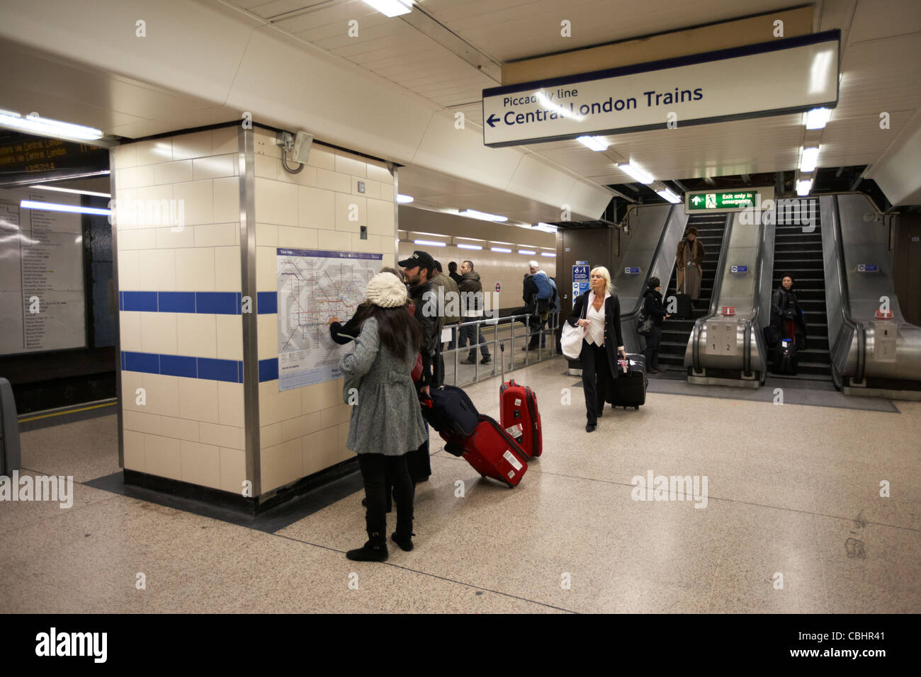 tourists consulting tube map at heathrow london underground station england united kingdom uk Stock Photohttps://www.alamy.com/image-license-details/?v=1https://www.alamy.com/stock-photo-tourists-consulting-tube-map-at-heathrow-london-underground-station-41573281.html
RMCBHR41–tourists consulting tube map at heathrow london underground station england united kingdom uk
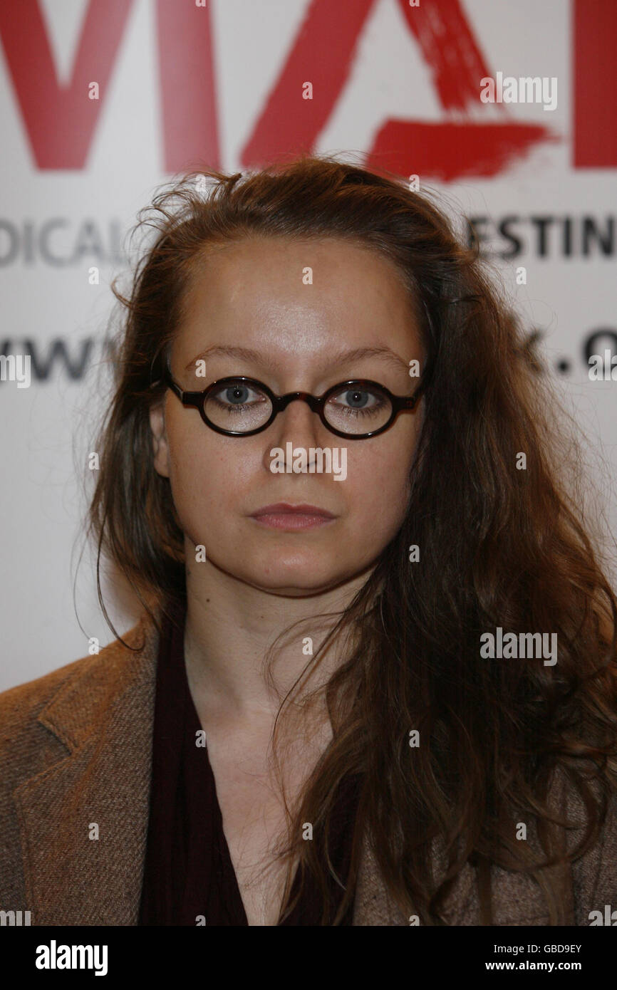 Actress Samantha Morton arrives at a Medical Aid for Palestinians (MAP) benefit evening for Gaza, held at the Grosvenor House Hotel in central London. Stock Photohttps://www.alamy.com/image-license-details/?v=1https://www.alamy.com/stock-photo-actress-samantha-morton-arrives-at-a-medical-aid-for-palestinians-110316275.html
RMGBD9EY–Actress Samantha Morton arrives at a Medical Aid for Palestinians (MAP) benefit evening for Gaza, held at the Grosvenor House Hotel in central London.
 Wembley Central, Greater London, United Kingdom, England, N 51 32' 59'', W 0 17' 50'', map, Timeless Map published in 2021. Travelers, explorers and adventurers like Florence Nightingale, David Livingstone, Ernest Shackleton, Lewis and Clark and Sherlock Holmes relied on maps to plan travels to the world's most remote corners, Timeless Maps is mapping most locations on the globe, showing the achievement of great dreams Stock Photohttps://www.alamy.com/image-license-details/?v=1https://www.alamy.com/wembley-central-greater-london-united-kingdom-england-n-51-32-59-w-0-17-50-map-timeless-map-published-in-2021-travelers-explorers-and-adventurers-like-florence-nightingale-david-livingstone-ernest-shackleton-lewis-and-clark-and-sherlock-holmes-relied-on-maps-to-plan-travels-to-the-worlds-most-remote-corners-timeless-maps-is-mapping-most-locations-on-the-globe-showing-the-achievement-of-great-dreams-image439413434.html
RM2GEW08X–Wembley Central, Greater London, United Kingdom, England, N 51 32' 59'', W 0 17' 50'', map, Timeless Map published in 2021. Travelers, explorers and adventurers like Florence Nightingale, David Livingstone, Ernest Shackleton, Lewis and Clark and Sherlock Holmes relied on maps to plan travels to the world's most remote corners, Timeless Maps is mapping most locations on the globe, showing the achievement of great dreams