Quick filters:
Crawley map Stock Photos and Images
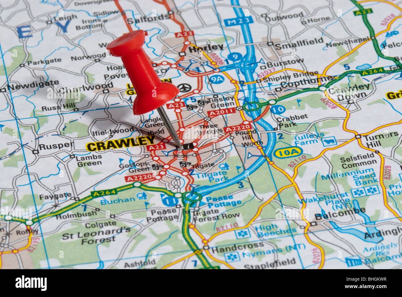 red map pin in road map pointing to city of Crawley Stock Photohttps://www.alamy.com/image-license-details/?v=1https://www.alamy.com/stock-photo-red-map-pin-in-road-map-pointing-to-city-of-crawley-28026371.html
RMBHGKWR–red map pin in road map pointing to city of Crawley
 Crawley Shown on a geography map or road map Stock Photohttps://www.alamy.com/image-license-details/?v=1https://www.alamy.com/crawley-shown-on-a-geography-map-or-road-map-image415173336.html
RM2F3CNR4–Crawley Shown on a geography map or road map
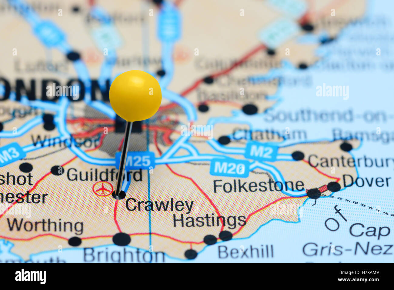 Crawley pinned on a map of UK Stock Photohttps://www.alamy.com/image-license-details/?v=1https://www.alamy.com/stock-photo-crawley-pinned-on-a-map-of-uk-125354329.html
RFH7XAM9–Crawley pinned on a map of UK
 Crawley Shown on a road map or Geography map and atlas Stock Photohttps://www.alamy.com/image-license-details/?v=1https://www.alamy.com/crawley-shown-on-a-road-map-or-geography-map-and-atlas-image411103082.html
RM2ETRA4X–Crawley Shown on a road map or Geography map and atlas
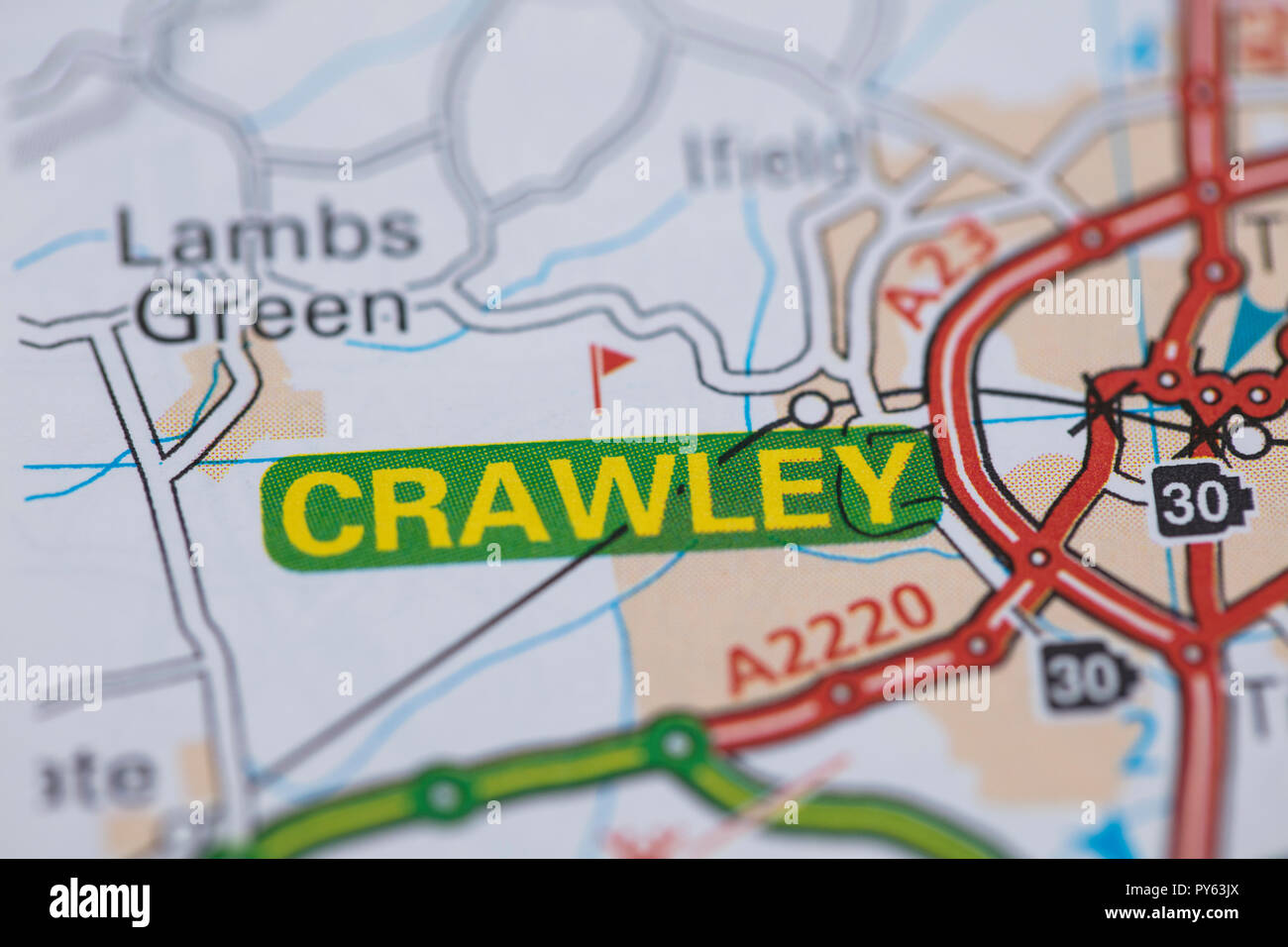 Crawley location road map. Great Britain map. Stock Photohttps://www.alamy.com/image-license-details/?v=1https://www.alamy.com/crawley-location-road-map-great-britain-map-image223254722.html
RFPY63JX–Crawley location road map. Great Britain map.
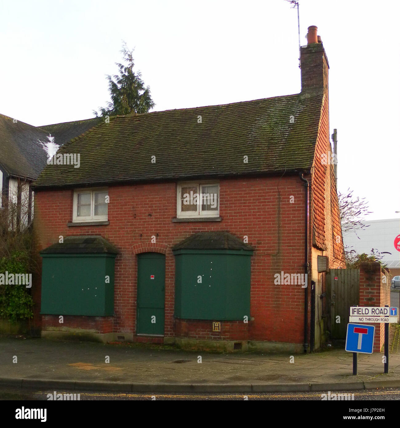 10 Ifield Road, Crawley Stock Photohttps://www.alamy.com/image-license-details/?v=1https://www.alamy.com/stock-photo-10-ifield-road-crawley-142470457.html
RMJ7P2EH–10 Ifield Road, Crawley
 Michaela Kummer aged 6 from North Carolina in the castle maize maze at Tulleys farm, Turners Hill near Crawley. The giant maze boasts three miles of mind-puzzling pathways with a Robin Hood theme. *... The complex pattern of the maze is cut from dense cattle maize and the operators claim it is among the biggest in the world. Stock Photohttps://www.alamy.com/image-license-details/?v=1https://www.alamy.com/stock-photo-michaela-kummer-aged-6-from-north-carolina-in-the-castle-maize-maze-106406949.html
RMG53745–Michaela Kummer aged 6 from North Carolina in the castle maize maze at Tulleys farm, Turners Hill near Crawley. The giant maze boasts three miles of mind-puzzling pathways with a Robin Hood theme. *... The complex pattern of the maze is cut from dense cattle maize and the operators claim it is among the biggest in the world.
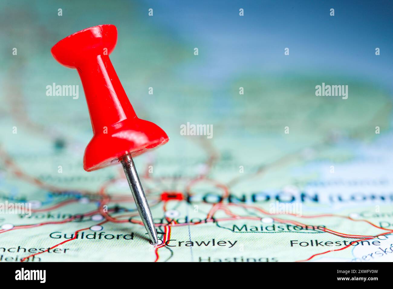 Crawley, Sussex, England pin on map. Stock Photohttps://www.alamy.com/image-license-details/?v=1https://www.alamy.com/crawley-sussex-england-pin-on-map-image618079753.html
RF2XWFY0W–Crawley, Sussex, England pin on map.
 Crawley, Subiaco, AU, Australia, Western Australia, S 31 59' 3'', N 115 48' 57'', map, Cartascapes Map published in 2024. Explore Cartascapes, a map revealing Earth's diverse landscapes, cultures, and ecosystems. Journey through time and space, discovering the interconnectedness of our planet's past, present, and future. Stock Photohttps://www.alamy.com/image-license-details/?v=1https://www.alamy.com/crawley-subiaco-au-australia-western-australia-s-31-59-3-n-115-48-57-map-cartascapes-map-published-in-2024-explore-cartascapes-a-map-revealing-earths-diverse-landscapes-cultures-and-ecosystems-journey-through-time-and-space-discovering-the-interconnectedness-of-our-planets-past-present-and-future-image625389544.html
RM2Y9CXMT–Crawley, Subiaco, AU, Australia, Western Australia, S 31 59' 3'', N 115 48' 57'', map, Cartascapes Map published in 2024. Explore Cartascapes, a map revealing Earth's diverse landscapes, cultures, and ecosystems. Journey through time and space, discovering the interconnectedness of our planet's past, present, and future.
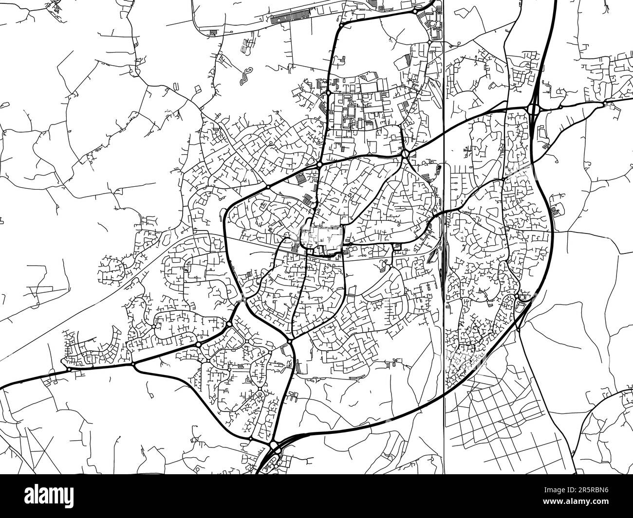 Road map of the city of Crawley in the United Kingdom on a white background. Stock Photohttps://www.alamy.com/image-license-details/?v=1https://www.alamy.com/road-map-of-the-city-of-crawley-in-the-united-kingdom-on-a-white-background-image554319170.html
RF2R5RBN6–Road map of the city of Crawley in the United Kingdom on a white background.
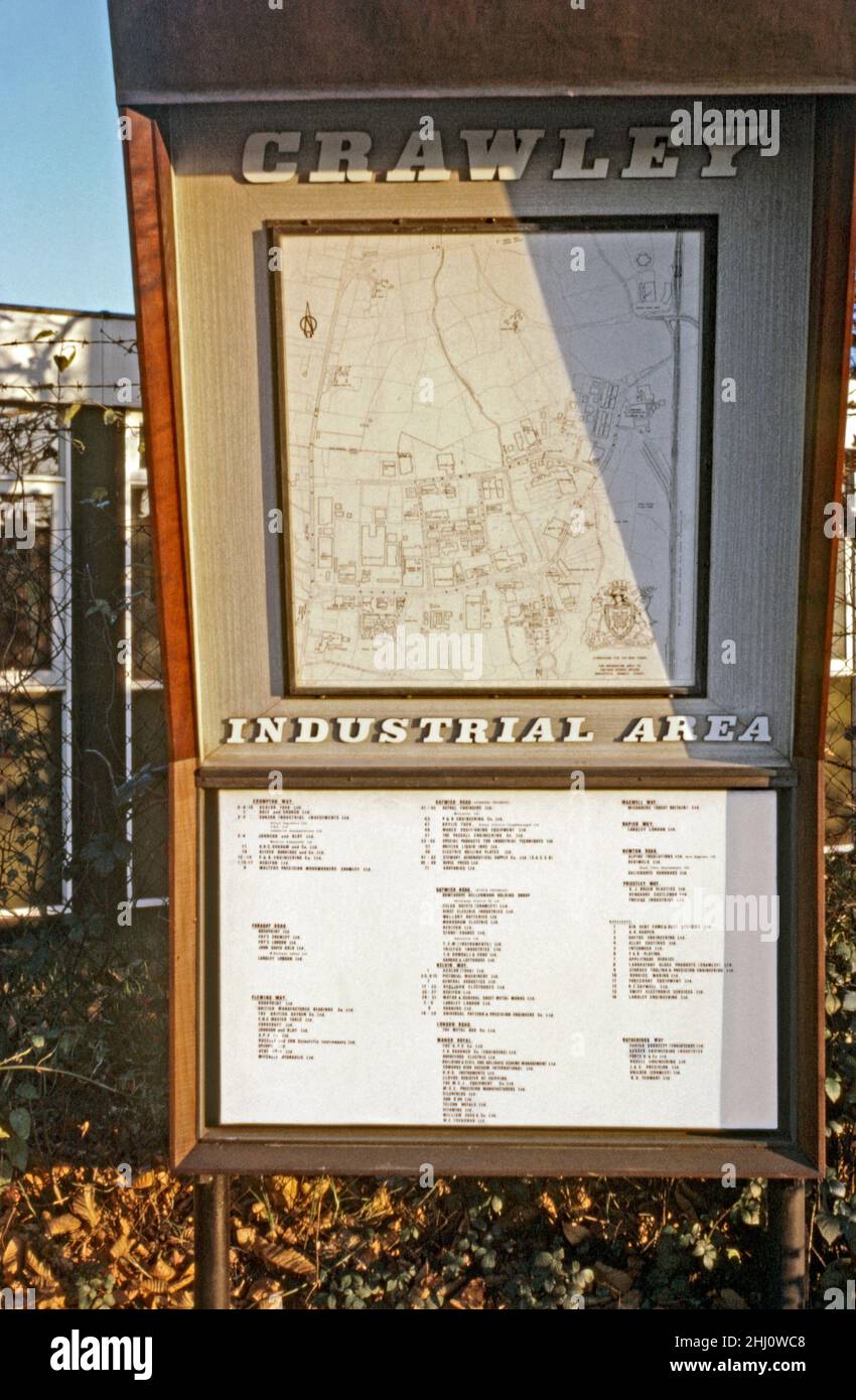 A sign with a map and listing of business addresses of the Industrial Area of Crawley ‘New Town’, West Sussex, England, UK in 1969. The commercial and industrial zone was mainly concentrated to the north of the town centre around Fleming Way, Gatwick Road and Manor Royal. It was developed to create jobs in the post-war ‘new town’. The area has undergone massive changes and modernisation since this period. This image is from an old amateur Kodak colour transparency – a vintage 1960s photograph. Stock Photohttps://www.alamy.com/image-license-details/?v=1https://www.alamy.com/a-sign-with-a-map-and-listing-of-business-addresses-of-the-industrial-area-of-crawley-new-town-west-sussex-england-uk-in-1969-the-commercial-and-industrial-zone-was-mainly-concentrated-to-the-north-of-the-town-centre-around-fleming-way-gatwick-road-and-manor-royal-it-was-developed-to-create-jobs-in-the-post-war-new-town-the-area-has-undergone-massive-changes-and-modernisation-since-this-period-this-image-is-from-an-old-amateur-kodak-colour-transparency-a-vintage-1960s-photograph-image458553320.html
RM2HJ0WC8–A sign with a map and listing of business addresses of the Industrial Area of Crawley ‘New Town’, West Sussex, England, UK in 1969. The commercial and industrial zone was mainly concentrated to the north of the town centre around Fleming Way, Gatwick Road and Manor Royal. It was developed to create jobs in the post-war ‘new town’. The area has undergone massive changes and modernisation since this period. This image is from an old amateur Kodak colour transparency – a vintage 1960s photograph.
 Missing Sarah Payne Search Stock Photohttps://www.alamy.com/image-license-details/?v=1https://www.alamy.com/stock-photo-missing-sarah-payne-search-106399367.html
RMG52WDB–Missing Sarah Payne Search
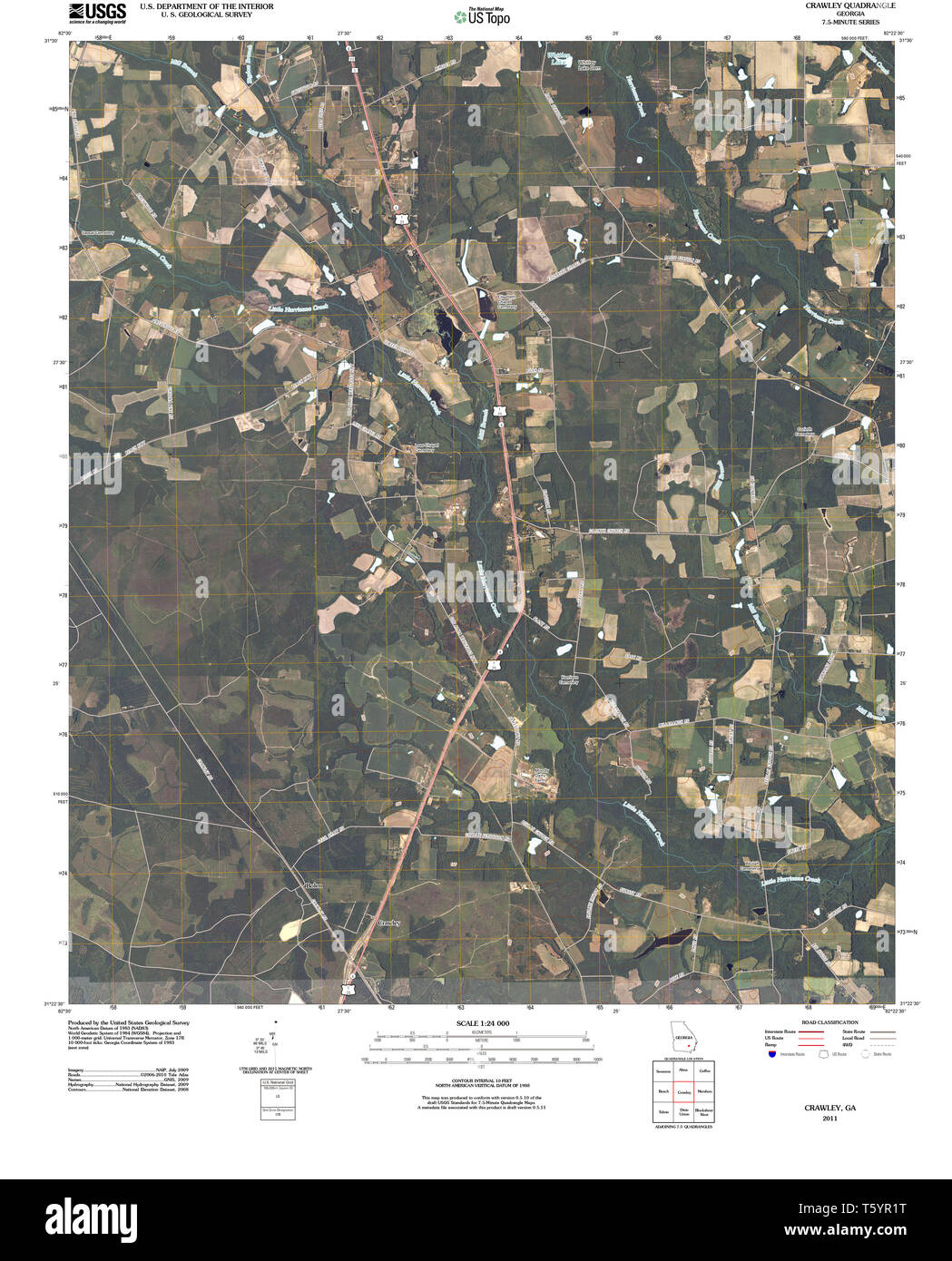 USGS TOPO Map Georgia GA Crawley 20110310 TM Restoration Stock Photohttps://www.alamy.com/image-license-details/?v=1https://www.alamy.com/usgs-topo-map-georgia-ga-crawley-20110310-tm-restoration-image244629220.html
RMT5YR1T–USGS TOPO Map Georgia GA Crawley 20110310 TM Restoration
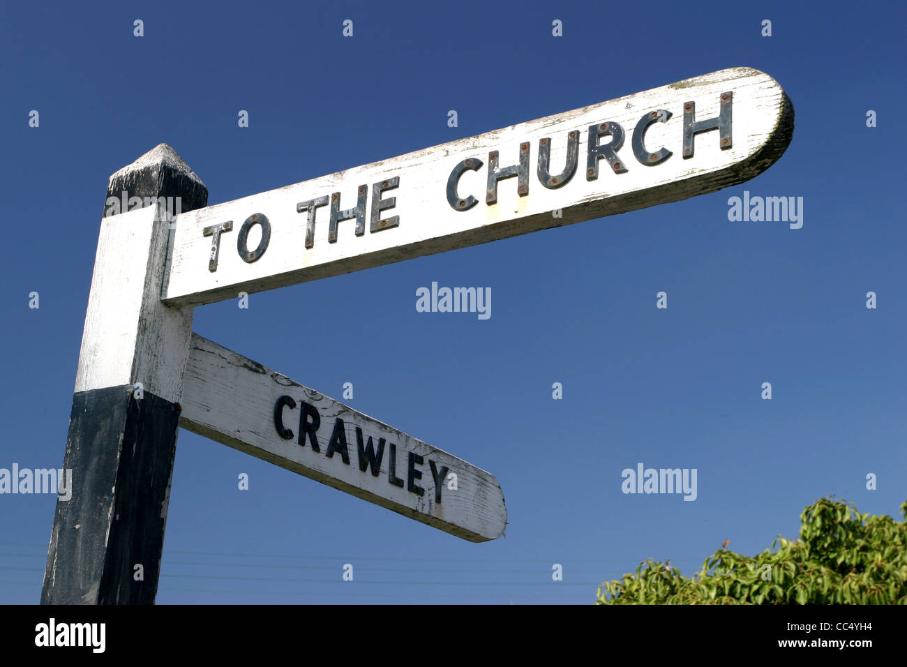 Road Sign Cotswolds Oxfordshire Stock Photohttps://www.alamy.com/image-license-details/?v=1https://www.alamy.com/stock-photo-road-sign-cotswolds-oxfordshire-41906064.html
RMCC4YH4–Road Sign Cotswolds Oxfordshire
 USGS TOPO Map Georgia GA Crawley 245441 1971 24000 Restoration Stock Photohttps://www.alamy.com/image-license-details/?v=1https://www.alamy.com/usgs-topo-map-georgia-ga-crawley-245441-1971-24000-restoration-image244629238.html
RMT5YR2E–USGS TOPO Map Georgia GA Crawley 245441 1971 24000 Restoration
 Road Sign Minster Lovell Stock Photohttps://www.alamy.com/image-license-details/?v=1https://www.alamy.com/stock-photo-road-sign-minster-lovell-41901791.html
RMCC4P4F–Road Sign Minster Lovell
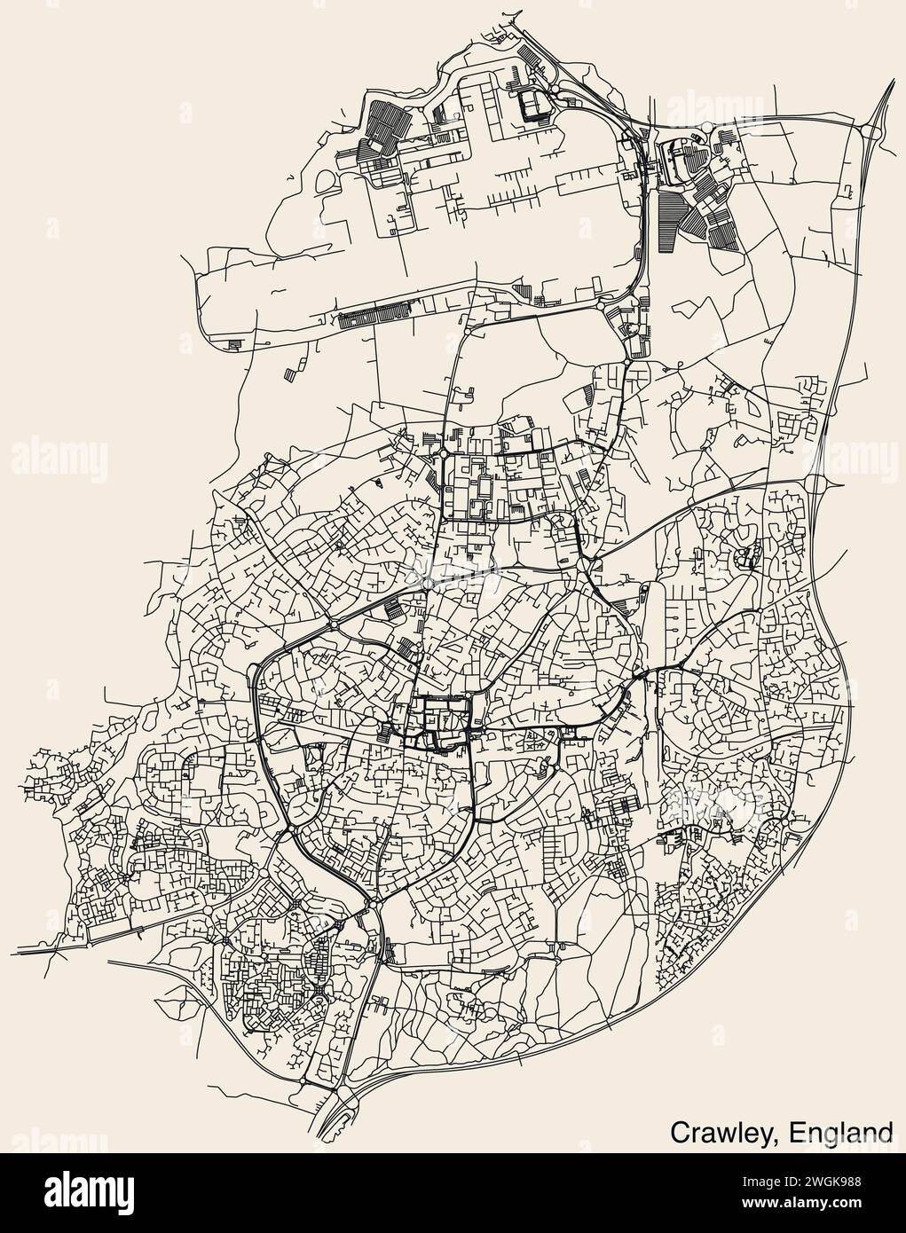 Street roads map of the UK city of CRAWLEY, ENGLAND Stock Vectorhttps://www.alamy.com/image-license-details/?v=1https://www.alamy.com/street-roads-map-of-the-uk-city-of-crawley-england-image595411384.html
RF2WGK988–Street roads map of the UK city of CRAWLEY, ENGLAND
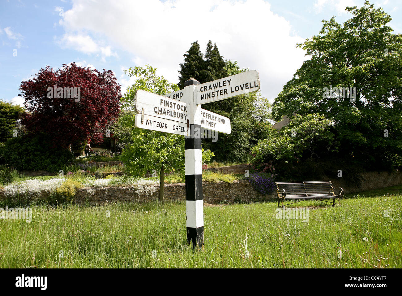 Road Sign Cotswolds Oxfordshire Stock Photohttps://www.alamy.com/image-license-details/?v=1https://www.alamy.com/stock-photo-road-sign-cotswolds-oxfordshire-41906263.html
RMCC4YT7–Road Sign Cotswolds Oxfordshire
![CRAWLEY Author Alken, Samuel 42.40. Place of publication: [London] Publisher: Publish'd June 1. 1790 by Messr.s Robinson's Paternoster Row., Date of publication: [1790.] Item type: 1 print Medium: etching and aquatint Dimensions: sheet 27.4 x 35.0 cm [trimmed within platemark]. Former owner: George III, King of Great Britain, 1738-1820 Stock Photo CRAWLEY Author Alken, Samuel 42.40. Place of publication: [London] Publisher: Publish'd June 1. 1790 by Messr.s Robinson's Paternoster Row., Date of publication: [1790.] Item type: 1 print Medium: etching and aquatint Dimensions: sheet 27.4 x 35.0 cm [trimmed within platemark]. Former owner: George III, King of Great Britain, 1738-1820 Stock Photo](https://c8.alamy.com/comp/2E9HT83/crawley-author-alken-samuel-4240-place-of-publication-london-publisher-publishd-june-1-1790-by-messrs-robinsons-paternoster-row-date-of-publication-1790-item-type-1-print-medium-etching-and-aquatint-dimensions-sheet-274-x-350-cm-trimmed-within-platemark-former-owner-george-iii-king-of-great-britain-1738-1820-2E9HT83.jpg) CRAWLEY Author Alken, Samuel 42.40. Place of publication: [London] Publisher: Publish'd June 1. 1790 by Messr.s Robinson's Paternoster Row., Date of publication: [1790.] Item type: 1 print Medium: etching and aquatint Dimensions: sheet 27.4 x 35.0 cm [trimmed within platemark]. Former owner: George III, King of Great Britain, 1738-1820 Stock Photohttps://www.alamy.com/image-license-details/?v=1https://www.alamy.com/crawley-author-alken-samuel-4240-place-of-publication-london-publisher-publishd-june-1-1790-by-messrs-robinsons-paternoster-row-date-of-publication-1790-item-type-1-print-medium-etching-and-aquatint-dimensions-sheet-274-x-350-cm-trimmed-within-platemark-former-owner-george-iii-king-of-great-britain-1738-1820-image401762595.html
CRAWLEY Author Alken, Samuel 42.40. Place of publication: [London] Publisher: Publish'd June 1. 1790 by Messr.s Robinson's Paternoster Row., Date of publication: [1790.] Item type: 1 print Medium: etching and aquatint Dimensions: sheet 27.4 x 35.0 cm [trimmed within platemark]. Former owner: George III, King of Great Britain, 1738-1820 Stock Photohttps://www.alamy.com/image-license-details/?v=1https://www.alamy.com/crawley-author-alken-samuel-4240-place-of-publication-london-publisher-publishd-june-1-1790-by-messrs-robinsons-paternoster-row-date-of-publication-1790-item-type-1-print-medium-etching-and-aquatint-dimensions-sheet-274-x-350-cm-trimmed-within-platemark-former-owner-george-iii-king-of-great-britain-1738-1820-image401762595.htmlRM2E9HT83–CRAWLEY Author Alken, Samuel 42.40. Place of publication: [London] Publisher: Publish'd June 1. 1790 by Messr.s Robinson's Paternoster Row., Date of publication: [1790.] Item type: 1 print Medium: etching and aquatint Dimensions: sheet 27.4 x 35.0 cm [trimmed within platemark]. Former owner: George III, King of Great Britain, 1738-1820
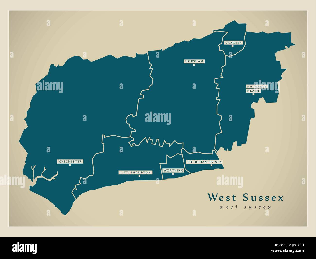 Modern Map - West Sussex county with cities and districts England UK illustration Stock Vectorhttps://www.alamy.com/image-license-details/?v=1https://www.alamy.com/modern-map-west-sussex-county-with-cities-and-districts-england-uk-image151571913.html
RFJPGKEH–Modern Map - West Sussex county with cities and districts England UK illustration
 West Sussex county dark silhouette map isolated on white background, England Stock Vectorhttps://www.alamy.com/image-license-details/?v=1https://www.alamy.com/west-sussex-county-dark-silhouette-map-isolated-on-white-background-england-image435698534.html
RF2G8RNWX–West Sussex county dark silhouette map isolated on white background, England
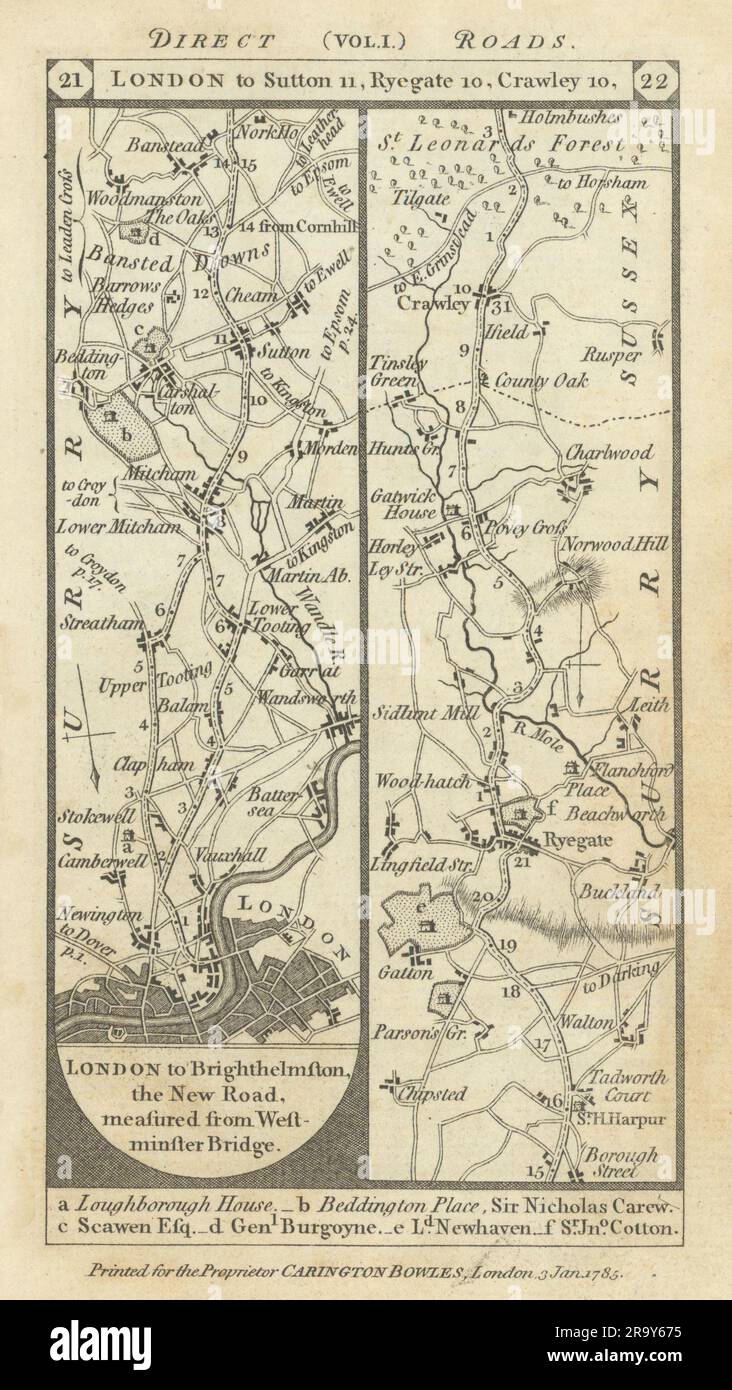 Wandsworth-Clapham-Carshalton-Reigate-Crawley road strip map PATERSON 1785 Stock Photohttps://www.alamy.com/image-license-details/?v=1https://www.alamy.com/wandsworth-clapham-carshalton-reigate-crawley-road-strip-map-paterson-1785-image556861289.html
RF2R9Y675–Wandsworth-Clapham-Carshalton-Reigate-Crawley road strip map PATERSON 1785
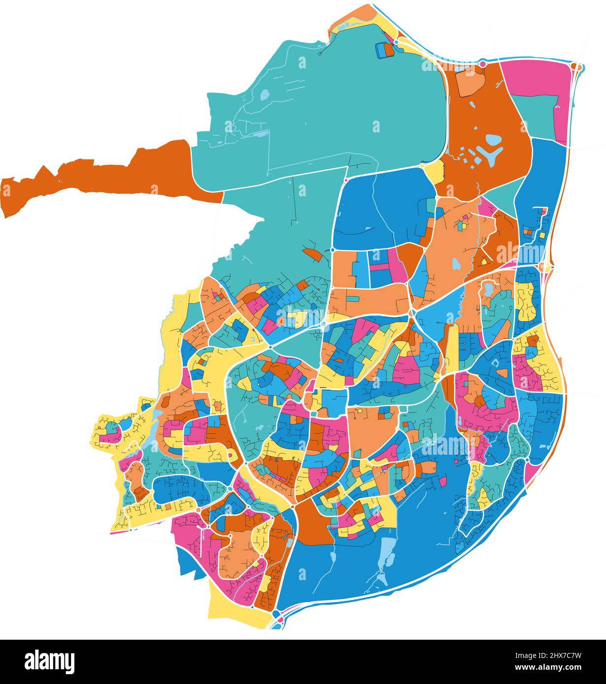 Crawley, South East England, England colorful high resolution vector art map with city boundaries. White outlines for main roads. Many details. Blue s Stock Vectorhttps://www.alamy.com/image-license-details/?v=1https://www.alamy.com/crawley-south-east-england-england-colorful-high-resolution-vector-art-map-with-city-boundaries-white-outlines-for-main-roads-many-details-blue-s-image463613917.html
RF2HX7C7W–Crawley, South East England, England colorful high resolution vector art map with city boundaries. White outlines for main roads. Many details. Blue s
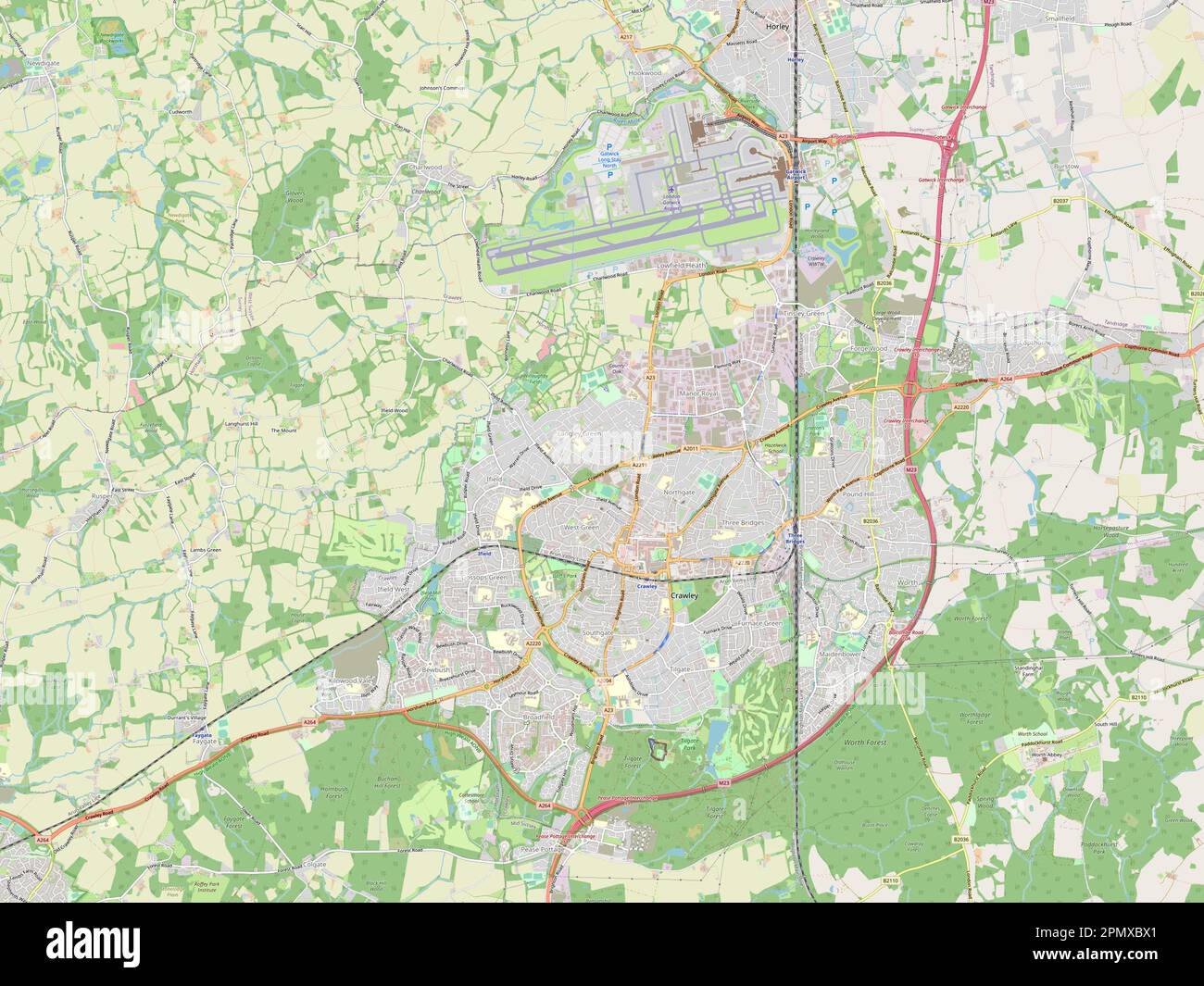 Crawley, non metropolitan district of England - Great Britain. Open Street Map Stock Photohttps://www.alamy.com/image-license-details/?v=1https://www.alamy.com/crawley-non-metropolitan-district-of-england-great-britain-open-street-map-image546394633.html
RF2PMXBX1–Crawley, non metropolitan district of England - Great Britain. Open Street Map
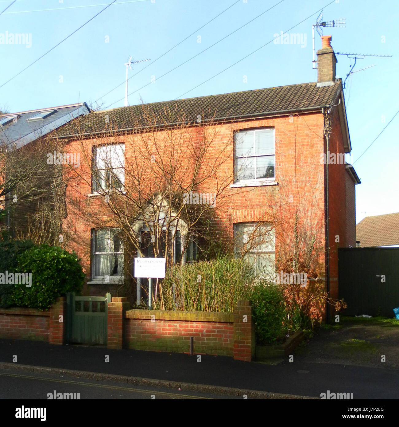 11 Horsham Road, West Green, Crawley Stock Photohttps://www.alamy.com/image-license-details/?v=1https://www.alamy.com/stock-photo-11-horsham-road-west-green-crawley-142470456.html
RMJ7P2EG–11 Horsham Road, West Green, Crawley
 Wandsworth-Clapham-Carshalton-Reigate-Crawley road strip map PATERSON 1803 Stock Photohttps://www.alamy.com/image-license-details/?v=1https://www.alamy.com/wandsworth-clapham-carshalton-reigate-crawley-road-strip-map-paterson-1803-image374682132.html
RF2CNG6TM–Wandsworth-Clapham-Carshalton-Reigate-Crawley road strip map PATERSON 1803
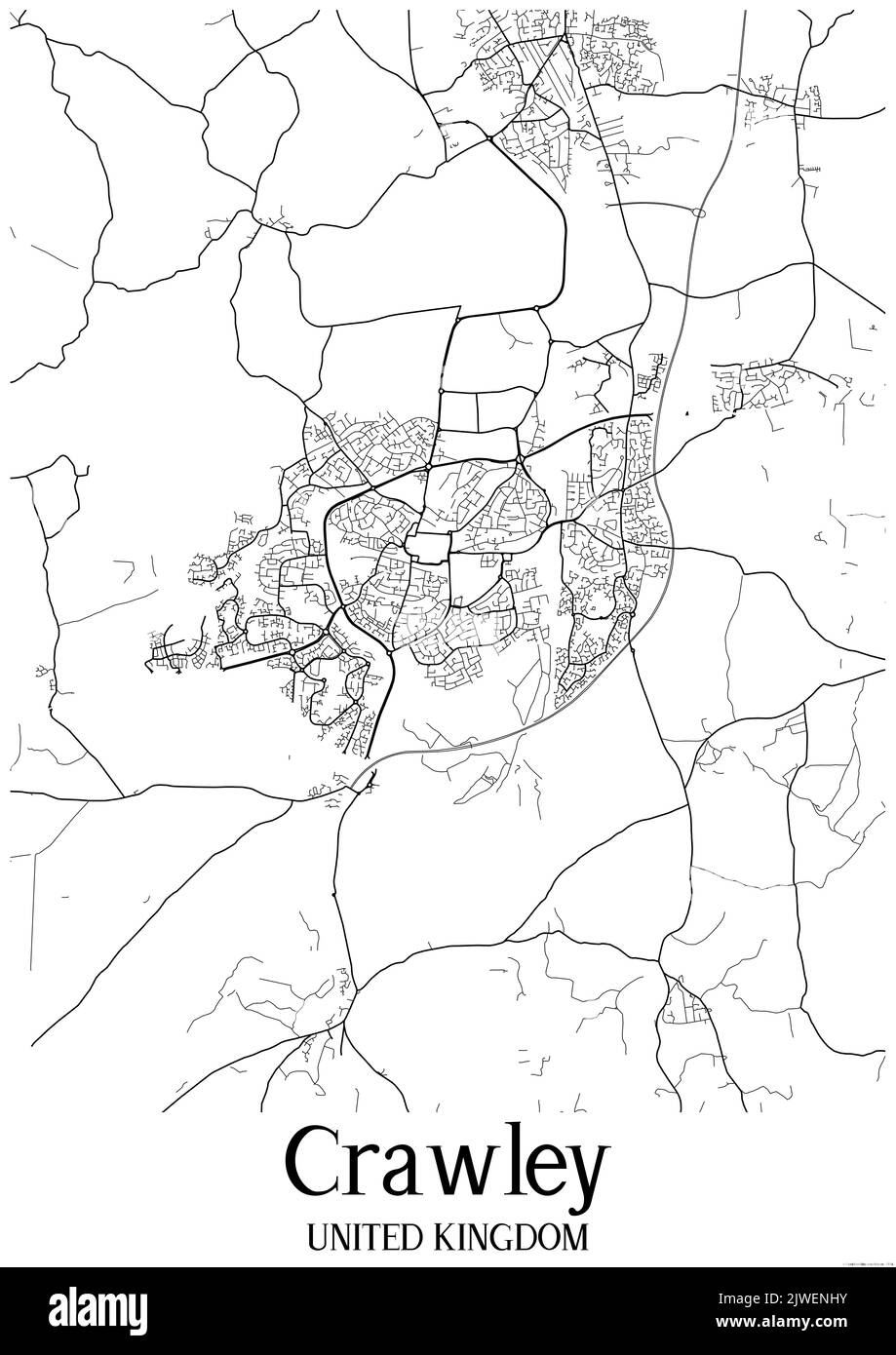 Black and white classic urban map of Crawley United Kingdom.This map contains geographic lines for main and secondary roads. Stock Photohttps://www.alamy.com/image-license-details/?v=1https://www.alamy.com/black-and-white-classic-urban-map-of-crawley-united-kingdomthis-map-contains-geographic-lines-for-main-and-secondary-roads-image480370631.html
RF2JWENHY–Black and white classic urban map of Crawley United Kingdom.This map contains geographic lines for main and secondary roads.
 Crawley, Subiaco, AU, Australia, Western Australia, S 31 59' 3'', N 115 48' 57'', map, Cartascapes Map published in 2024. Explore Cartascapes, a map revealing Earth's diverse landscapes, cultures, and ecosystems. Journey through time and space, discovering the interconnectedness of our planet's past, present, and future. Stock Photohttps://www.alamy.com/image-license-details/?v=1https://www.alamy.com/crawley-subiaco-au-australia-western-australia-s-31-59-3-n-115-48-57-map-cartascapes-map-published-in-2024-explore-cartascapes-a-map-revealing-earths-diverse-landscapes-cultures-and-ecosystems-journey-through-time-and-space-discovering-the-interconnectedness-of-our-planets-past-present-and-future-image625806287.html
RM2YA3X8F–Crawley, Subiaco, AU, Australia, Western Australia, S 31 59' 3'', N 115 48' 57'', map, Cartascapes Map published in 2024. Explore Cartascapes, a map revealing Earth's diverse landscapes, cultures, and ecosystems. Journey through time and space, discovering the interconnectedness of our planet's past, present, and future.
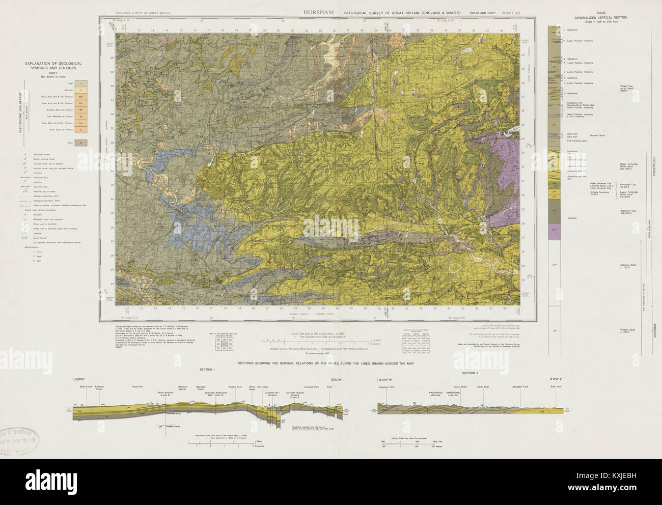 Horsham geological survey sheet 302 Crawley Haywards Heath High Weald 1964 map Stock Photohttps://www.alamy.com/image-license-details/?v=1https://www.alamy.com/stock-photo-horsham-geological-survey-sheet-302-crawley-haywards-heath-high-weald-171280805.html
RFKXJEBH–Horsham geological survey sheet 302 Crawley Haywards Heath High Weald 1964 map
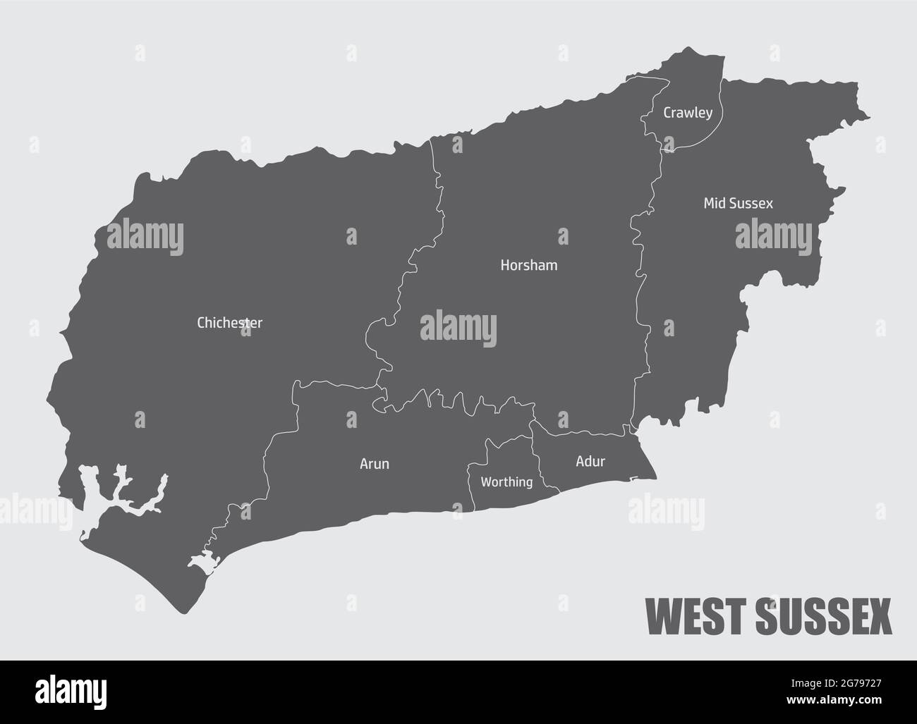 West Sussex county map divided in districts with labels, England Stock Vectorhttps://www.alamy.com/image-license-details/?v=1https://www.alamy.com/west-sussex-county-map-divided-in-districts-with-labels-england-image434764911.html
RF2G79727–West Sussex county map divided in districts with labels, England
 Missing Sarah Payne Search Stock Photohttps://www.alamy.com/image-license-details/?v=1https://www.alamy.com/stock-photo-missing-sarah-payne-search-106399360.html
RMG52WD4–Missing Sarah Payne Search
 Crawley Non-metropolitan district, Town and borough (United Kingdom of Great Britain and Northern Ireland, ceremonial county West Sussex, England) map Stock Vectorhttps://www.alamy.com/image-license-details/?v=1https://www.alamy.com/crawley-non-metropolitan-district-town-and-borough-united-kingdom-of-great-britain-and-northern-ireland-ceremonial-county-west-sussex-england-map-image556449977.html
RF2R98DHD–Crawley Non-metropolitan district, Town and borough (United Kingdom of Great Britain and Northern Ireland, ceremonial county West Sussex, England) map
 Diego Garcia Stock Photohttps://www.alamy.com/image-license-details/?v=1https://www.alamy.com/diego-garcia-image1093054.html
RMAGADBF–Diego Garcia
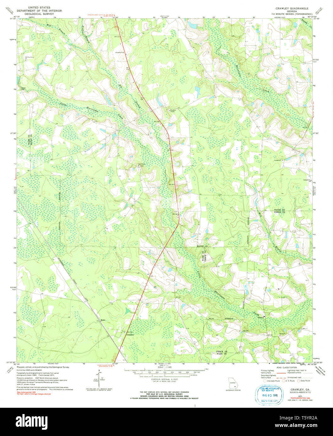 USGS TOPO Map Georgia GA Crawley 245440 1971 24000 Restoration Stock Photohttps://www.alamy.com/image-license-details/?v=1https://www.alamy.com/usgs-topo-map-georgia-ga-crawley-245440-1971-24000-restoration-image244629234.html
RMT5YR2A–USGS TOPO Map Georgia GA Crawley 245440 1971 24000 Restoration
 West Sussex flag, England, waving in the wind, sky and sun background. 3d rendering Stock Photohttps://www.alamy.com/image-license-details/?v=1https://www.alamy.com/west-sussex-flag-england-waving-in-the-wind-sky-and-sun-background-3d-rendering-image447627981.html
RF2H0761H–West Sussex flag, England, waving in the wind, sky and sun background. 3d rendering
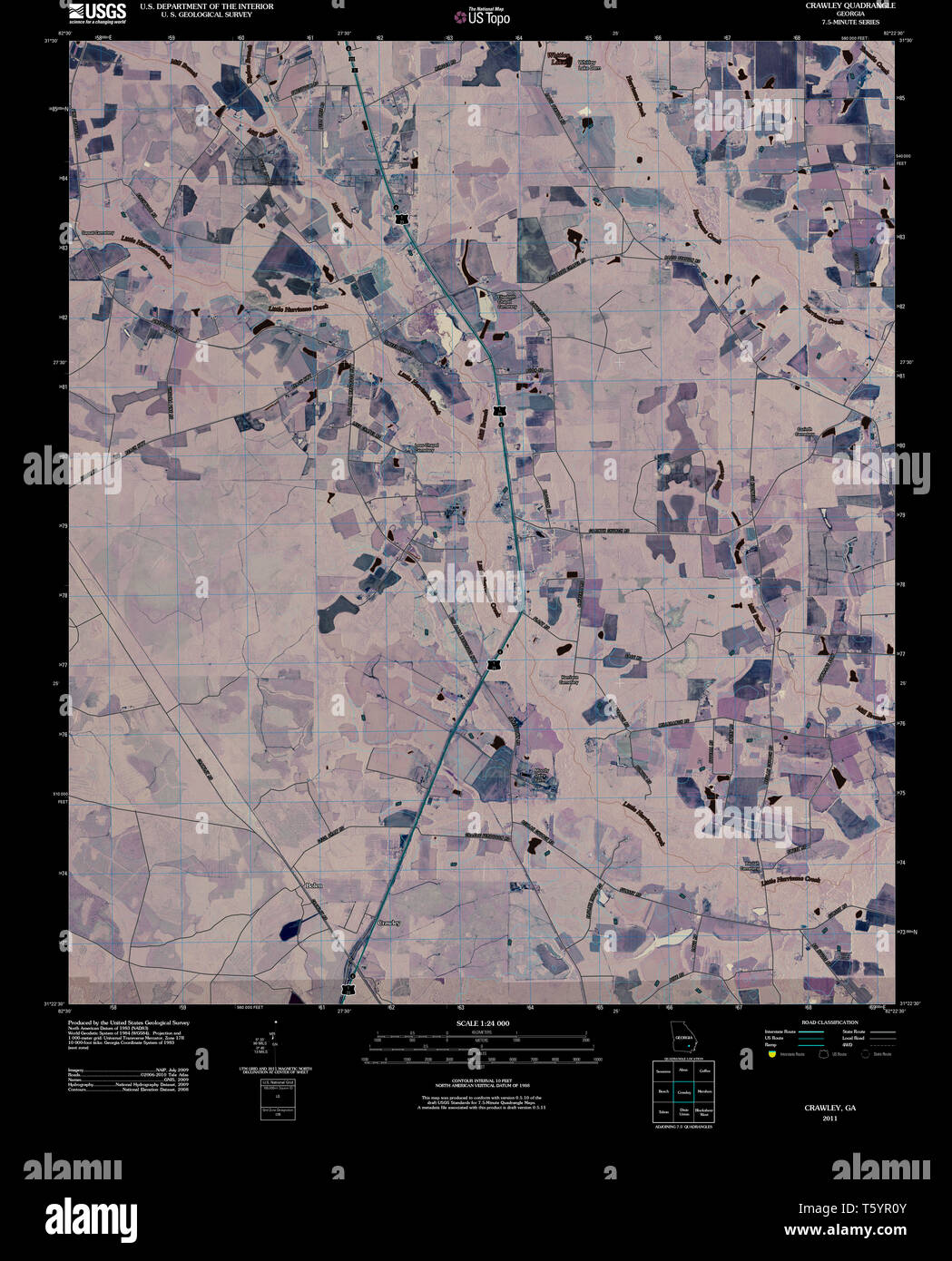 USGS TOPO Map Georgia GA Crawley 20110310 TM Inverted Restoration Stock Photohttps://www.alamy.com/image-license-details/?v=1https://www.alamy.com/usgs-topo-map-georgia-ga-crawley-20110310-tm-inverted-restoration-image244629195.html
RMT5YR0Y–USGS TOPO Map Georgia GA Crawley 20110310 TM Inverted Restoration
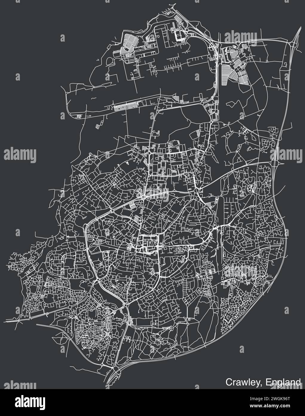 Street roads map of the UK city of CRAWLEY, ENGLAND Stock Vectorhttps://www.alamy.com/image-license-details/?v=1https://www.alamy.com/street-roads-map-of-the-uk-city-of-crawley-england-image595411344.html
RF2WGK96T–Street roads map of the UK city of CRAWLEY, ENGLAND
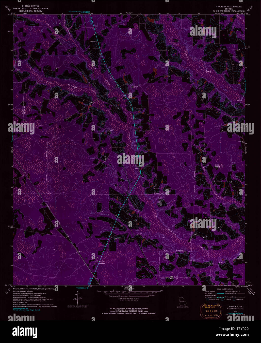 USGS TOPO Map Georgia GA Crawley 245440 1971 24000 Inverted Restoration Stock Photohttps://www.alamy.com/image-license-details/?v=1https://www.alamy.com/usgs-topo-map-georgia-ga-crawley-245440-1971-24000-inverted-restoration-image244629224.html
RMT5YR20–USGS TOPO Map Georgia GA Crawley 245440 1971 24000 Inverted Restoration
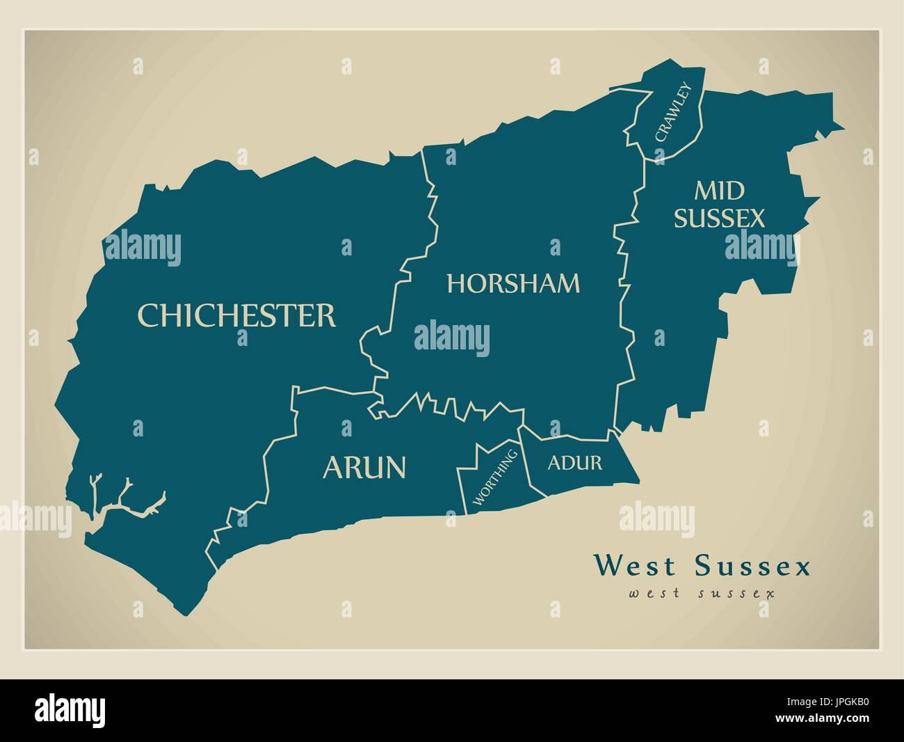 Modern Map - West Sussex county with district captions England UK illustration Stock Vectorhttps://www.alamy.com/image-license-details/?v=1https://www.alamy.com/modern-map-west-sussex-county-with-district-captions-england-uk-illustration-image151571812.html
RFJPGKB0–Modern Map - West Sussex county with district captions England UK illustration
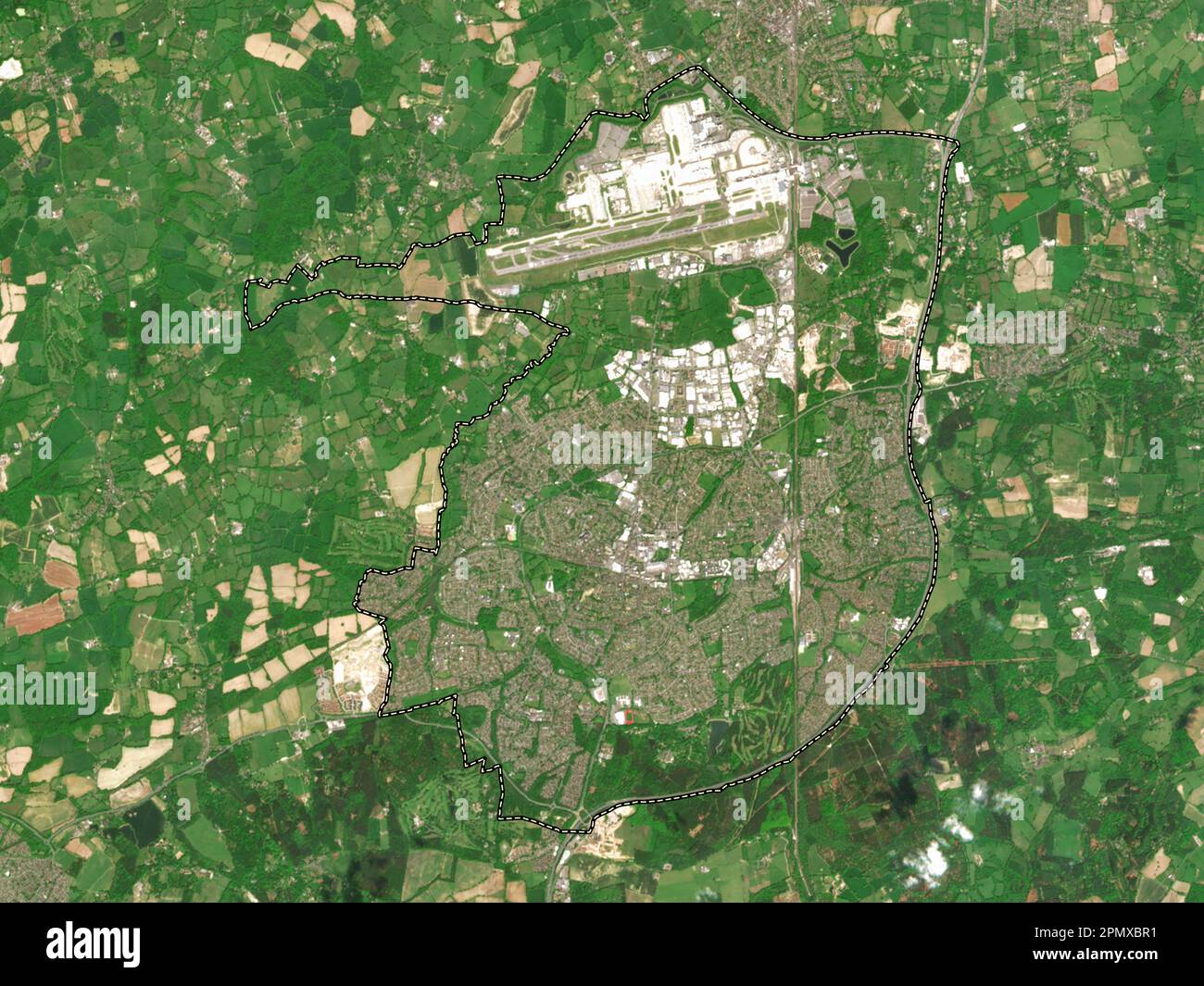 Crawley, non metropolitan district of England - Great Britain. Low resolution satellite map Stock Photohttps://www.alamy.com/image-license-details/?v=1https://www.alamy.com/crawley-non-metropolitan-district-of-england-great-britain-low-resolution-satellite-map-image546394549.html
RF2PMXBR1–Crawley, non metropolitan district of England - Great Britain. Low resolution satellite map
 1 Victoria Road, West Green, Crawley Stock Photohttps://www.alamy.com/image-license-details/?v=1https://www.alamy.com/stock-photo-1-victoria-road-west-green-crawley-142470459.html
RMJ7P2EK–1 Victoria Road, West Green, Crawley
 1950s Industrial Building in Manor Royal, Crawley Stock Photohttps://www.alamy.com/image-license-details/?v=1https://www.alamy.com/stock-photo-1950s-industrial-building-in-manor-royal-crawley-142575102.html
RMJ7XRYX–1950s Industrial Building in Manor Royal, Crawley
 Crawley, Ware County, US, United States, Georgia, N 31 23' 9'', S 82 27' 12'', map, Cartascapes Map published in 2024. Explore Cartascapes, a map revealing Earth's diverse landscapes, cultures, and ecosystems. Journey through time and space, discovering the interconnectedness of our planet's past, present, and future. Stock Photohttps://www.alamy.com/image-license-details/?v=1https://www.alamy.com/crawley-ware-county-us-united-states-georgia-n-31-23-9-s-82-27-12-map-cartascapes-map-published-in-2024-explore-cartascapes-a-map-revealing-earths-diverse-landscapes-cultures-and-ecosystems-journey-through-time-and-space-discovering-the-interconnectedness-of-our-planets-past-present-and-future-image621181624.html
RM2Y2H7E0–Crawley, Ware County, US, United States, Georgia, N 31 23' 9'', S 82 27' 12'', map, Cartascapes Map published in 2024. Explore Cartascapes, a map revealing Earth's diverse landscapes, cultures, and ecosystems. Journey through time and space, discovering the interconnectedness of our planet's past, present, and future.
 29 High Street, Crawley Stock Photohttps://www.alamy.com/image-license-details/?v=1https://www.alamy.com/29-high-street-crawley-image154662942.html
RMJYHE4E–29 High Street, Crawley
 West Sussex county silhouette map isolated on white background, England Stock Vectorhttps://www.alamy.com/image-license-details/?v=1https://www.alamy.com/west-sussex-county-silhouette-map-isolated-on-white-background-england-image434686809.html
RF2G75KCW–West Sussex county silhouette map isolated on white background, England
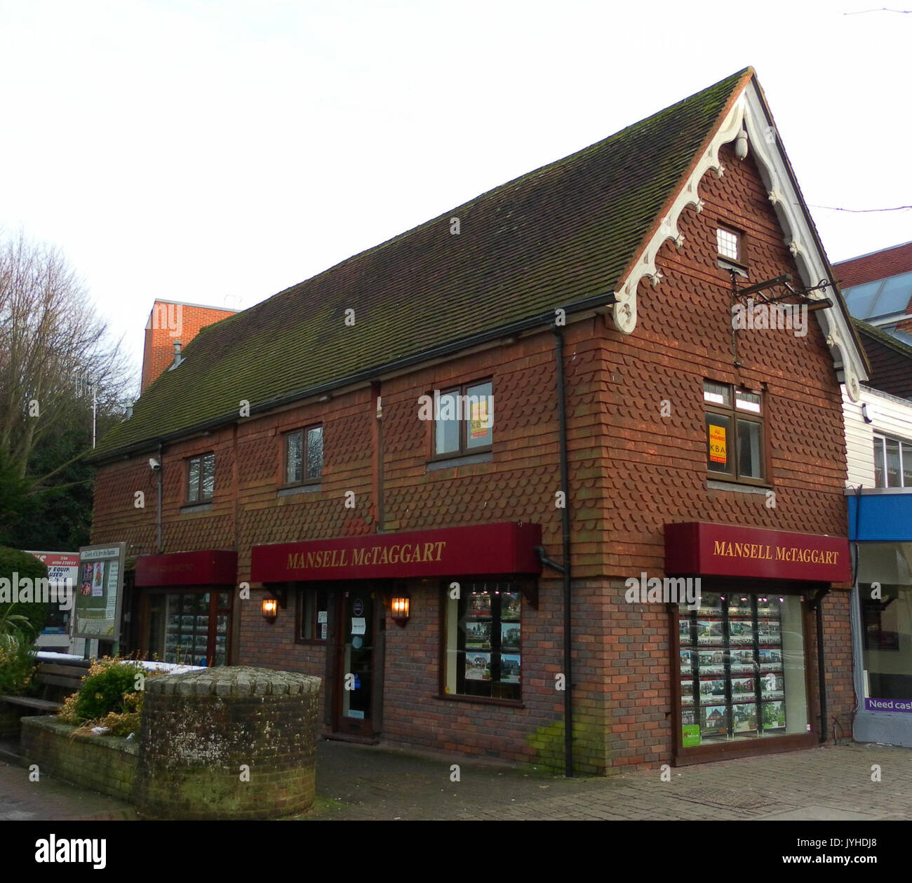 39 High Street, Crawley Stock Photohttps://www.alamy.com/image-license-details/?v=1https://www.alamy.com/39-high-street-crawley-image154662544.html
RMJYHDJ8–39 High Street, Crawley
 Crawley Non-metropolitan district, Town and borough (United Kingdom of Great Britain and Northern Ireland, ceremonial county West Sussex, England) map Stock Vectorhttps://www.alamy.com/image-license-details/?v=1https://www.alamy.com/crawley-non-metropolitan-district-town-and-borough-united-kingdom-of-great-britain-and-northern-ireland-ceremonial-county-west-sussex-england-map-image536306453.html
RF2P4ET9W–Crawley Non-metropolitan district, Town and borough (United Kingdom of Great Britain and Northern Ireland, ceremonial county West Sussex, England) map
 USGS TOPO Map Georgia GA Crawley 245441 1971 24000 Inverted Restoration Stock Photohttps://www.alamy.com/image-license-details/?v=1https://www.alamy.com/usgs-topo-map-georgia-ga-crawley-245441-1971-24000-inverted-restoration-image244629237.html
RMT5YR2D–USGS TOPO Map Georgia GA Crawley 245441 1971 24000 Inverted Restoration
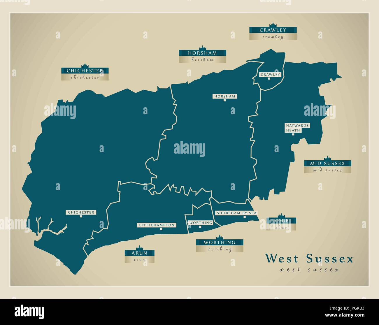 Modern Map - West Sussex county with district labels England UK illustration Stock Vectorhttps://www.alamy.com/image-license-details/?v=1https://www.alamy.com/modern-map-west-sussex-county-with-district-labels-england-uk-illustration-image151571815.html
RFJPGKB3–Modern Map - West Sussex county with district labels England UK illustration
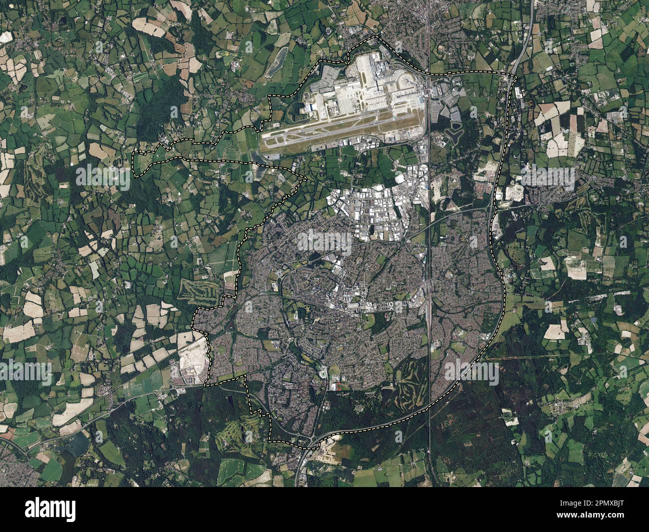 Crawley, non metropolitan district of England - Great Britain. High resolution satellite map Stock Photohttps://www.alamy.com/image-license-details/?v=1https://www.alamy.com/crawley-non-metropolitan-district-of-england-great-britain-high-resolution-satellite-map-image546394432.html
RF2PMXBJT–Crawley, non metropolitan district of England - Great Britain. High resolution satellite map
 Crawley, Greenbrier County, US, United States, West Virginia, N 37 56' 5'', S 80 39' 7'', map, Cartascapes Map published in 2024. Explore Cartascapes, a map revealing Earth's diverse landscapes, cultures, and ecosystems. Journey through time and space, discovering the interconnectedness of our planet's past, present, and future. Stock Photohttps://www.alamy.com/image-license-details/?v=1https://www.alamy.com/crawley-greenbrier-county-us-united-states-west-virginia-n-37-56-5-s-80-39-7-map-cartascapes-map-published-in-2024-explore-cartascapes-a-map-revealing-earths-diverse-landscapes-cultures-and-ecosystems-journey-through-time-and-space-discovering-the-interconnectedness-of-our-planets-past-present-and-future-image621354075.html
RM2Y2W3CY–Crawley, Greenbrier County, US, United States, West Virginia, N 37 56' 5'', S 80 39' 7'', map, Cartascapes Map published in 2024. Explore Cartascapes, a map revealing Earth's diverse landscapes, cultures, and ecosystems. Journey through time and space, discovering the interconnectedness of our planet's past, present, and future.
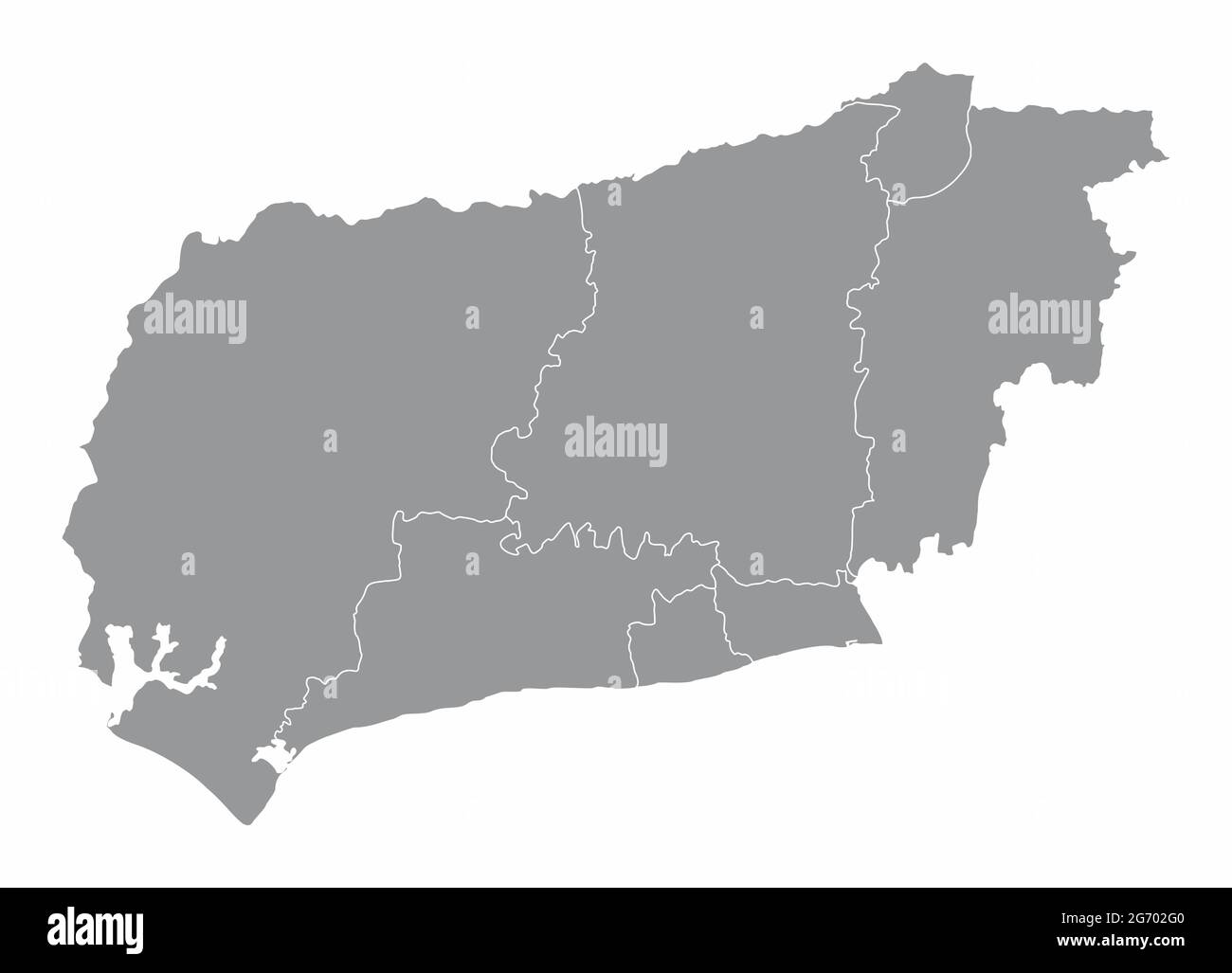 West Sussex county administrative map isolated on white background, England Stock Vectorhttps://www.alamy.com/image-license-details/?v=1https://www.alamy.com/west-sussex-county-administrative-map-isolated-on-white-background-england-image434563808.html
RF2G702G0–West Sussex county administrative map isolated on white background, England
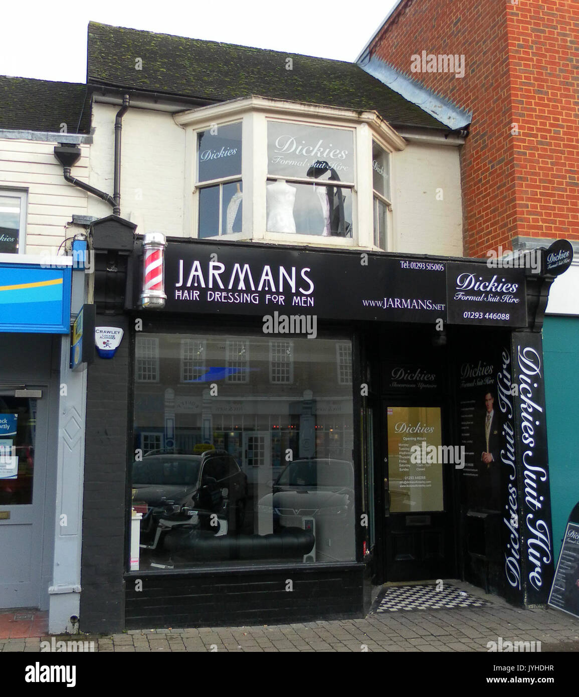 37 High Street, Crawley Stock Photohttps://www.alamy.com/image-license-details/?v=1https://www.alamy.com/37-high-street-crawley-image154662531.html
RMJYHDHR–37 High Street, Crawley
 Crawley Non-metropolitan district, Town and borough (United Kingdom of Great Britain and Northern Ireland, ceremonial county West Sussex, England) map Stock Vectorhttps://www.alamy.com/image-license-details/?v=1https://www.alamy.com/crawley-non-metropolitan-district-town-and-borough-united-kingdom-of-great-britain-and-northern-ireland-ceremonial-county-west-sussex-england-map-image492315490.html
RF2KGXWC2–Crawley Non-metropolitan district, Town and borough (United Kingdom of Great Britain and Northern Ireland, ceremonial county West Sussex, England) map
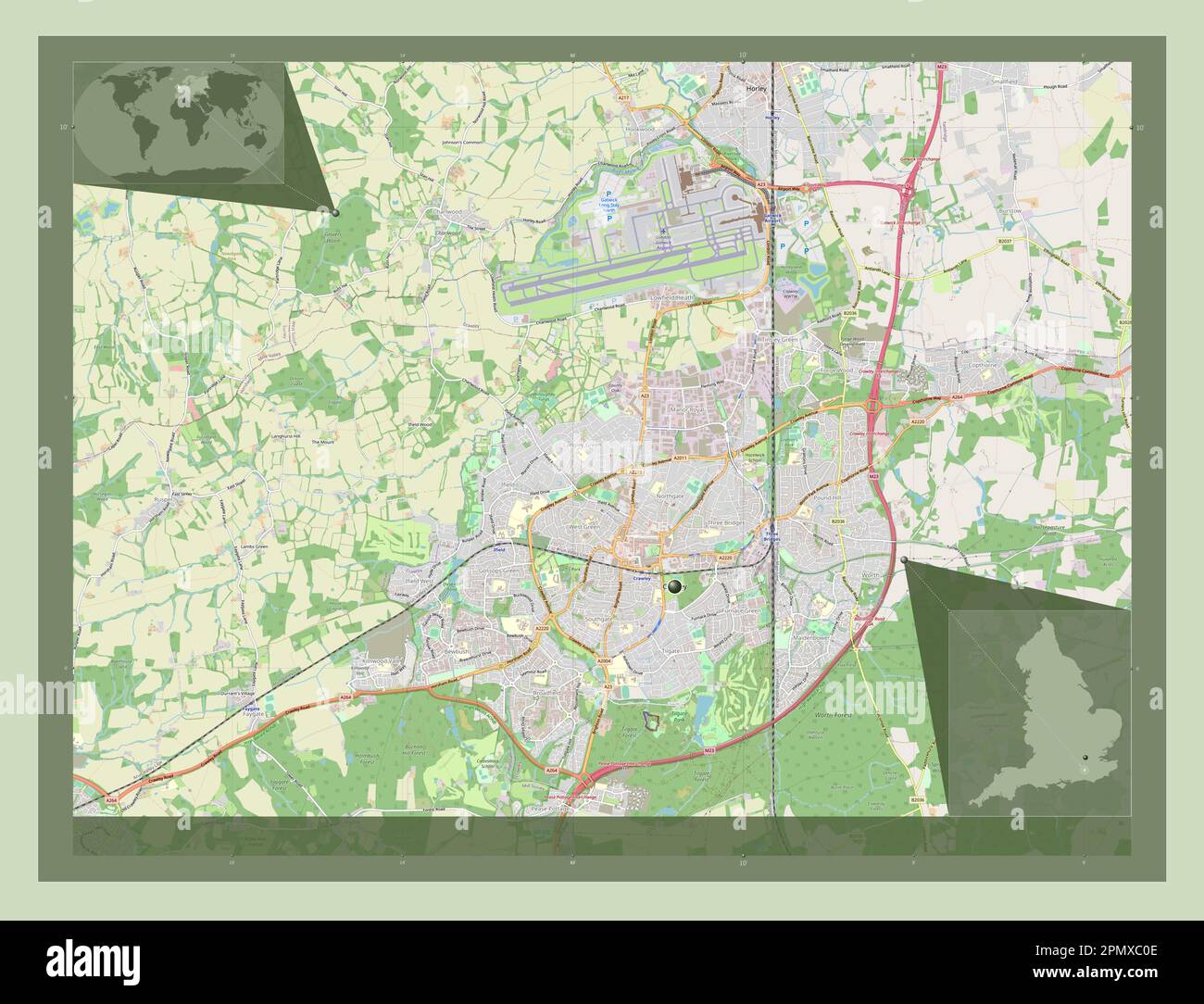 Crawley, non metropolitan district of England - Great Britain. Open Street Map. Corner auxiliary location maps Stock Photohttps://www.alamy.com/image-license-details/?v=1https://www.alamy.com/crawley-non-metropolitan-district-of-england-great-britain-open-street-map-corner-auxiliary-location-maps-image546394702.html
RF2PMXC0E–Crawley, non metropolitan district of England - Great Britain. Open Street Map. Corner auxiliary location maps
 Crawley, Oxfordshire, GB, United Kingdom, England, N 51 48' 53'', S 1 30' 33'', map, Cartascapes Map published in 2024. Explore Cartascapes, a map revealing Earth's diverse landscapes, cultures, and ecosystems. Journey through time and space, discovering the interconnectedness of our planet's past, present, and future. Stock Photohttps://www.alamy.com/image-license-details/?v=1https://www.alamy.com/crawley-oxfordshire-gb-united-kingdom-england-n-51-48-53-s-1-30-33-map-cartascapes-map-published-in-2024-explore-cartascapes-a-map-revealing-earths-diverse-landscapes-cultures-and-ecosystems-journey-through-time-and-space-discovering-the-interconnectedness-of-our-planets-past-present-and-future-image604261153.html
RM2X32D7D–Crawley, Oxfordshire, GB, United Kingdom, England, N 51 48' 53'', S 1 30' 33'', map, Cartascapes Map published in 2024. Explore Cartascapes, a map revealing Earth's diverse landscapes, cultures, and ecosystems. Journey through time and space, discovering the interconnectedness of our planet's past, present, and future.
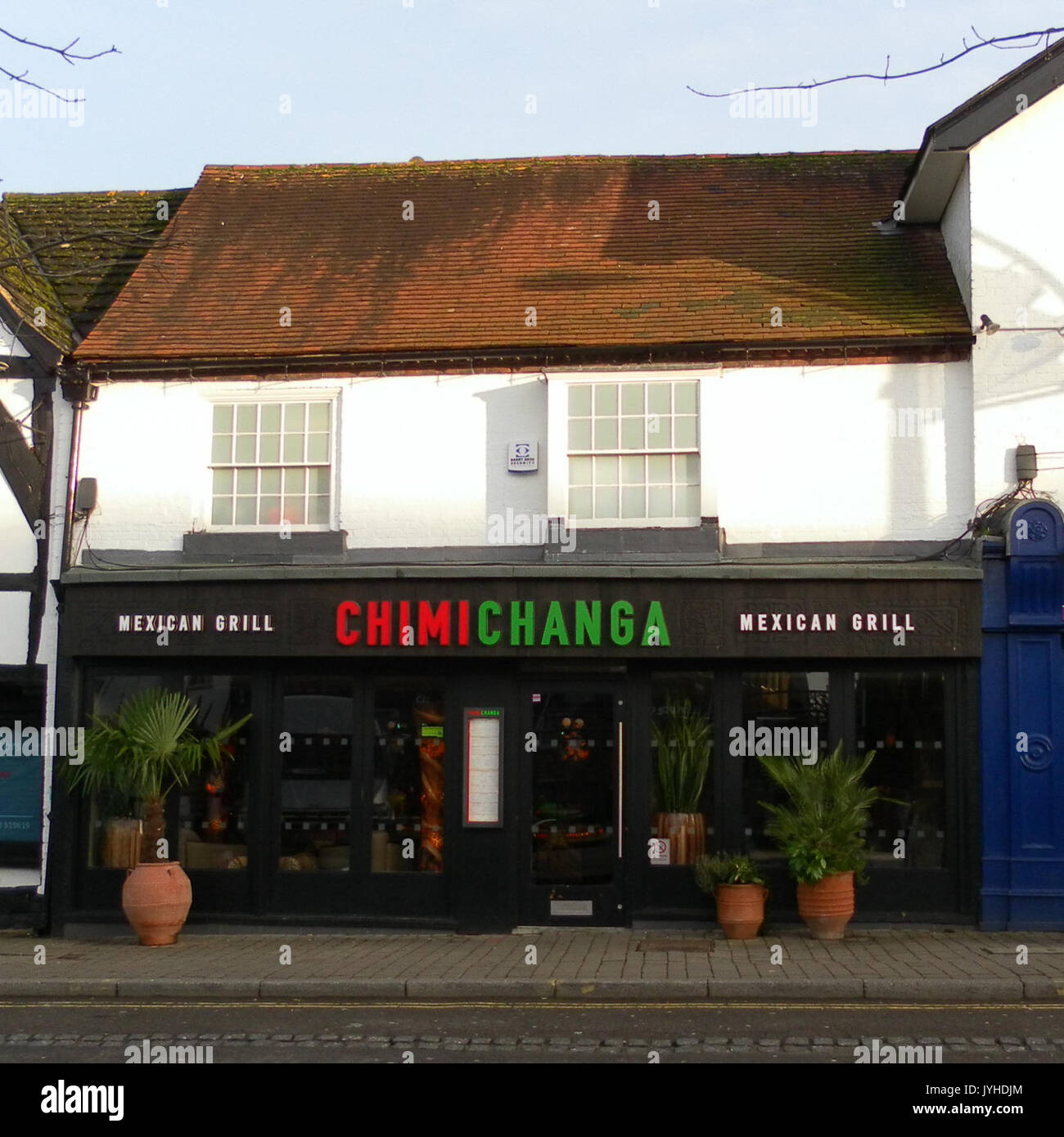 47 High Street, Crawley Stock Photohttps://www.alamy.com/image-license-details/?v=1https://www.alamy.com/47-high-street-crawley-image154662556.html
RMJYHDJM–47 High Street, Crawley
 Crawley, non metropolitan district of England - Great Britain. Low resolution satellite map. Corner auxiliary location maps Stock Photohttps://www.alamy.com/image-license-details/?v=1https://www.alamy.com/crawley-non-metropolitan-district-of-england-great-britain-low-resolution-satellite-map-corner-auxiliary-location-maps-image546394625.html
RF2PMXBWN–Crawley, non metropolitan district of England - Great Britain. Low resolution satellite map. Corner auxiliary location maps
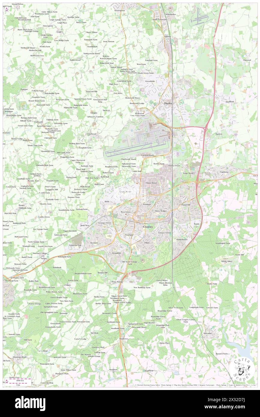 Crawley, Oxfordshire, GB, United Kingdom, England, N 51 48' 53'', S 1 30' 33'', map, Cartascapes Map published in 2024. Explore Cartascapes, a map revealing Earth's diverse landscapes, cultures, and ecosystems. Journey through time and space, discovering the interconnectedness of our planet's past, present, and future. Stock Photohttps://www.alamy.com/image-license-details/?v=1https://www.alamy.com/crawley-oxfordshire-gb-united-kingdom-england-n-51-48-53-s-1-30-33-map-cartascapes-map-published-in-2024-explore-cartascapes-a-map-revealing-earths-diverse-landscapes-cultures-and-ecosystems-journey-through-time-and-space-discovering-the-interconnectedness-of-our-planets-past-present-and-future-image604261158.html
RM2X32D7J–Crawley, Oxfordshire, GB, United Kingdom, England, N 51 48' 53'', S 1 30' 33'', map, Cartascapes Map published in 2024. Explore Cartascapes, a map revealing Earth's diverse landscapes, cultures, and ecosystems. Journey through time and space, discovering the interconnectedness of our planet's past, present, and future.
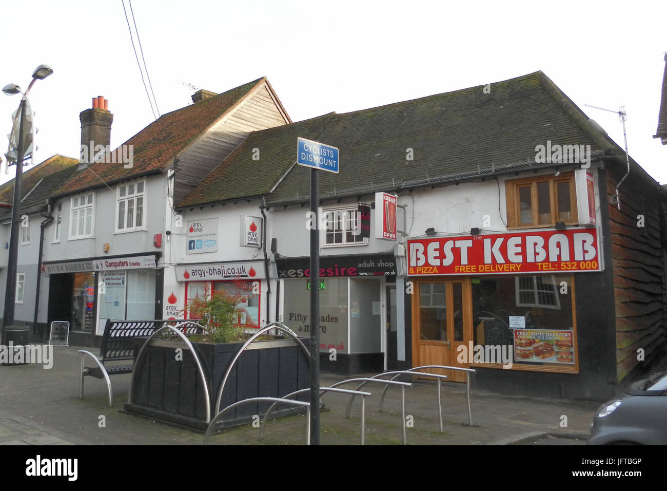 1-4 Ifield Road, Crawley Stock Photohttps://www.alamy.com/image-license-details/?v=1https://www.alamy.com/stock-photo-1-4-ifield-road-crawley-147438726.html
RMJFTBGP–1-4 Ifield Road, Crawley
 Crawley, non metropolitan district of England - Great Britain. High resolution satellite map. Corner auxiliary location maps Stock Photohttps://www.alamy.com/image-license-details/?v=1https://www.alamy.com/crawley-non-metropolitan-district-of-england-great-britain-high-resolution-satellite-map-corner-auxiliary-location-maps-image546394478.html
RF2PMXBME–Crawley, non metropolitan district of England - Great Britain. High resolution satellite map. Corner auxiliary location maps
 Crawley, Hampshire, GB, United Kingdom, England, N 51 6' 25'', S 1 23' 40'', map, Cartascapes Map published in 2024. Explore Cartascapes, a map revealing Earth's diverse landscapes, cultures, and ecosystems. Journey through time and space, discovering the interconnectedness of our planet's past, present, and future. Stock Photohttps://www.alamy.com/image-license-details/?v=1https://www.alamy.com/crawley-hampshire-gb-united-kingdom-england-n-51-6-25-s-1-23-40-map-cartascapes-map-published-in-2024-explore-cartascapes-a-map-revealing-earths-diverse-landscapes-cultures-and-ecosystems-journey-through-time-and-space-discovering-the-interconnectedness-of-our-planets-past-present-and-future-image604267123.html
RM2X32MTK–Crawley, Hampshire, GB, United Kingdom, England, N 51 6' 25'', S 1 23' 40'', map, Cartascapes Map published in 2024. Explore Cartascapes, a map revealing Earth's diverse landscapes, cultures, and ecosystems. Journey through time and space, discovering the interconnectedness of our planet's past, present, and future.
 Ancient Priors, High Street, Crawley Stock Photohttps://www.alamy.com/image-license-details/?v=1https://www.alamy.com/ancient-priors-high-street-crawley-image155472907.html
RMK0XB7R–Ancient Priors, High Street, Crawley
 Magnolia Macrophylla by Ida Crawley, 1916 Stock Photohttps://www.alamy.com/image-license-details/?v=1https://www.alamy.com/magnolia-macrophylla-by-ida-crawley-1916-image153836009.html
RMJX7RB5–Magnolia Macrophylla by Ida Crawley, 1916
 Air Training Corps (19th Crawley), Friston Walk, Ifield Stock Photohttps://www.alamy.com/image-license-details/?v=1https://www.alamy.com/air-training-corps-19th-crawley-friston-walk-ifield-image155472906.html
RMK0XB7P–Air Training Corps (19th Crawley), Friston Walk, Ifield
 Father Mateo Crawley Boevey with pictures of Sacred Heart of Jesus and Pius X Stock Photohttps://www.alamy.com/image-license-details/?v=1https://www.alamy.com/father-mateo-crawley-boevey-with-pictures-of-sacred-heart-of-jesus-image159177188.html
RMK6Y43G–Father Mateo Crawley Boevey with pictures of Sacred Heart of Jesus and Pius X
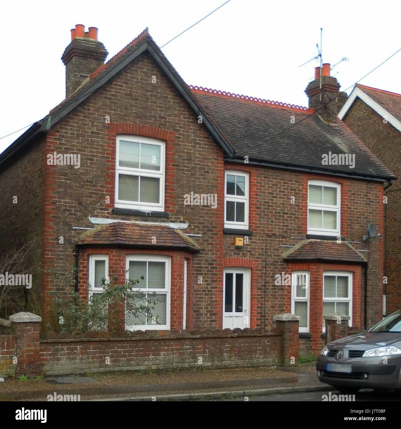 107 Hazelwick Road, Three Bridges, Crawley Stock Photohttps://www.alamy.com/image-license-details/?v=1https://www.alamy.com/stock-photo-107-hazelwick-road-three-bridges-crawley-142512707.html
RMJ7T0BF–107 Hazelwick Road, Three Bridges, Crawley
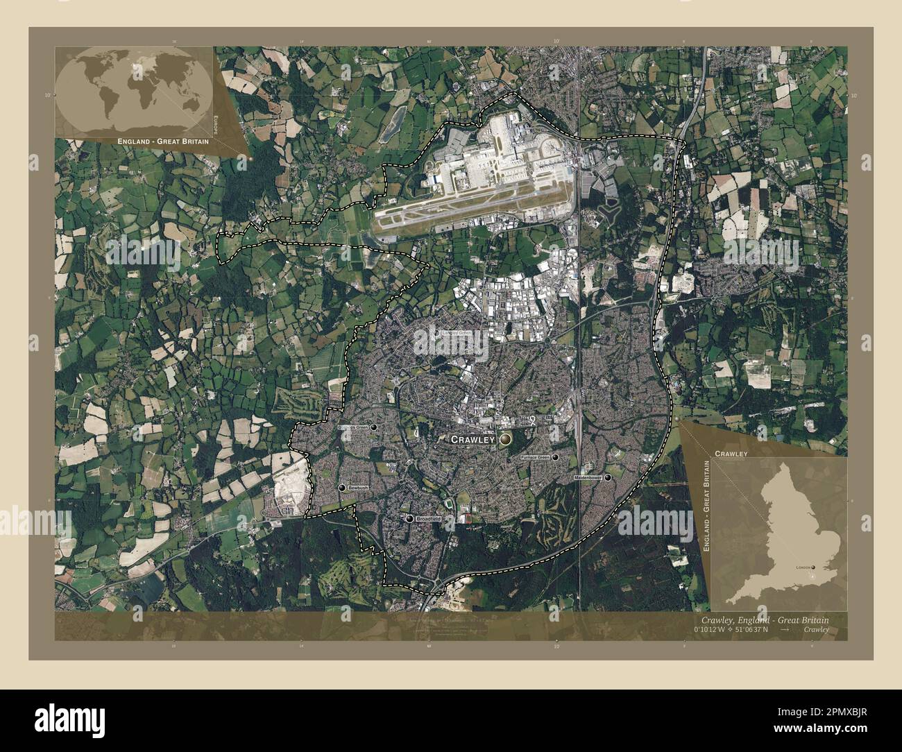 Crawley, non metropolitan district of England - Great Britain. High resolution satellite map. Locations and names of major cities of the region. Corne Stock Photohttps://www.alamy.com/image-license-details/?v=1https://www.alamy.com/crawley-non-metropolitan-district-of-england-great-britain-high-resolution-satellite-map-locations-and-names-of-major-cities-of-the-region-corne-image546394431.html
RF2PMXBJR–Crawley, non metropolitan district of England - Great Britain. High resolution satellite map. Locations and names of major cities of the region. Corne
 Crawley, Hampshire, GB, United Kingdom, England, N 51 6' 25'', S 1 23' 40'', map, Cartascapes Map published in 2024. Explore Cartascapes, a map revealing Earth's diverse landscapes, cultures, and ecosystems. Journey through time and space, discovering the interconnectedness of our planet's past, present, and future. Stock Photohttps://www.alamy.com/image-license-details/?v=1https://www.alamy.com/crawley-hampshire-gb-united-kingdom-england-n-51-6-25-s-1-23-40-map-cartascapes-map-published-in-2024-explore-cartascapes-a-map-revealing-earths-diverse-landscapes-cultures-and-ecosystems-journey-through-time-and-space-discovering-the-interconnectedness-of-our-planets-past-present-and-future-image604267121.html
RM2X32MTH–Crawley, Hampshire, GB, United Kingdom, England, N 51 6' 25'', S 1 23' 40'', map, Cartascapes Map published in 2024. Explore Cartascapes, a map revealing Earth's diverse landscapes, cultures, and ecosystems. Journey through time and space, discovering the interconnectedness of our planet's past, present, and future.
 Crawley Rocks, Gower (4011829486) Stock Photohttps://www.alamy.com/image-license-details/?v=1https://www.alamy.com/crawley-rocks-gower-4011829486-image158886061.html
RMK6DTP5–Crawley Rocks, Gower (4011829486)
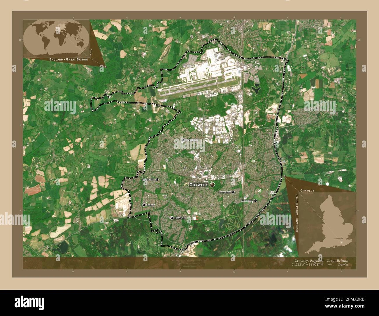 Crawley, non metropolitan district of England - Great Britain. Low resolution satellite map. Locations and names of major cities of the region. Corner Stock Photohttps://www.alamy.com/image-license-details/?v=1https://www.alamy.com/crawley-non-metropolitan-district-of-england-great-britain-low-resolution-satellite-map-locations-and-names-of-major-cities-of-the-region-corner-image546394559.html
RF2PMXBRB–Crawley, non metropolitan district of England - Great Britain. Low resolution satellite map. Locations and names of major cities of the region. Corner
 Crawley Tower, Northumberland, GB, United Kingdom, England, N 55 26' 33'', S 1 53' 33'', map, Cartascapes Map published in 2024. Explore Cartascapes, a map revealing Earth's diverse landscapes, cultures, and ecosystems. Journey through time and space, discovering the interconnectedness of our planet's past, present, and future. Stock Photohttps://www.alamy.com/image-license-details/?v=1https://www.alamy.com/crawley-tower-northumberland-gb-united-kingdom-england-n-55-26-33-s-1-53-33-map-cartascapes-map-published-in-2024-explore-cartascapes-a-map-revealing-earths-diverse-landscapes-cultures-and-ecosystems-journey-through-time-and-space-discovering-the-interconnectedness-of-our-planets-past-present-and-future-image604193596.html
RM2X2YB2M–Crawley Tower, Northumberland, GB, United Kingdom, England, N 55 26' 33'', S 1 53' 33'', map, Cartascapes Map published in 2024. Explore Cartascapes, a map revealing Earth's diverse landscapes, cultures, and ecosystems. Journey through time and space, discovering the interconnectedness of our planet's past, present, and future.
 49 Brighton Road, Southgate, Crawley Stock Photohttps://www.alamy.com/image-license-details/?v=1https://www.alamy.com/49-brighton-road-southgate-crawley-image154721280.html
RMJYM4G0–49 Brighton Road, Southgate, Crawley
 Crawley, non metropolitan district of England - Great Britain. High resolution satellite map. Locations of major cities of the region. Corner auxiliar Stock Photohttps://www.alamy.com/image-license-details/?v=1https://www.alamy.com/crawley-non-metropolitan-district-of-england-great-britain-high-resolution-satellite-map-locations-of-major-cities-of-the-region-corner-auxiliar-image546394359.html
RF2PMXBG7–Crawley, non metropolitan district of England - Great Britain. High resolution satellite map. Locations of major cities of the region. Corner auxiliar
 Crawley Railway Station, West Sussex, GB, United Kingdom, England, N 51 6' 43'', S 0 11' 12'', map, Cartascapes Map published in 2024. Explore Cartascapes, a map revealing Earth's diverse landscapes, cultures, and ecosystems. Journey through time and space, discovering the interconnectedness of our planet's past, present, and future. Stock Photohttps://www.alamy.com/image-license-details/?v=1https://www.alamy.com/crawley-railway-station-west-sussex-gb-united-kingdom-england-n-51-6-43-s-0-11-12-map-cartascapes-map-published-in-2024-explore-cartascapes-a-map-revealing-earths-diverse-landscapes-cultures-and-ecosystems-journey-through-time-and-space-discovering-the-interconnectedness-of-our-planets-past-present-and-future-image604216761.html
RM2X30CJ1–Crawley Railway Station, West Sussex, GB, United Kingdom, England, N 51 6' 43'', S 0 11' 12'', map, Cartascapes Map published in 2024. Explore Cartascapes, a map revealing Earth's diverse landscapes, cultures, and ecosystems. Journey through time and space, discovering the interconnectedness of our planet's past, present, and future.
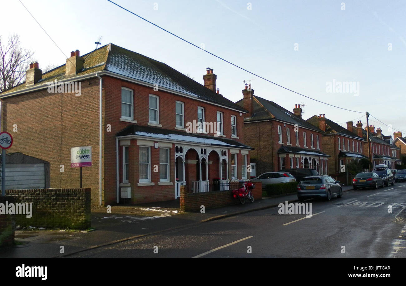 108-1 MaIthouse Road, Southgate, Crawley Stock Photohttps://www.alamy.com/image-license-details/?v=1https://www.alamy.com/stock-photo-108-1-maithouse-road-southgate-crawley-147442479.html
RMJFTGAR–108-1 MaIthouse Road, Southgate, Crawley
 Crawley, non metropolitan district of England - Great Britain. Low resolution satellite map. Locations of major cities of the region. Corner auxiliary Stock Photohttps://www.alamy.com/image-license-details/?v=1https://www.alamy.com/crawley-non-metropolitan-district-of-england-great-britain-low-resolution-satellite-map-locations-of-major-cities-of-the-region-corner-auxiliary-image546394472.html
RF2PMXBM8–Crawley, non metropolitan district of England - Great Britain. Low resolution satellite map. Locations of major cities of the region. Corner auxiliary
 Crawley Down, West Sussex, GB, United Kingdom, England, N 51 7' 14'', S 0 4' 38'', map, Cartascapes Map published in 2024. Explore Cartascapes, a map revealing Earth's diverse landscapes, cultures, and ecosystems. Journey through time and space, discovering the interconnectedness of our planet's past, present, and future. Stock Photohttps://www.alamy.com/image-license-details/?v=1https://www.alamy.com/crawley-down-west-sussex-gb-united-kingdom-england-n-51-7-14-s-0-4-38-map-cartascapes-map-published-in-2024-explore-cartascapes-a-map-revealing-earths-diverse-landscapes-cultures-and-ecosystems-journey-through-time-and-space-discovering-the-interconnectedness-of-our-planets-past-present-and-future-image604213571.html
RM2X308G3–Crawley Down, West Sussex, GB, United Kingdom, England, N 51 7' 14'', S 0 4' 38'', map, Cartascapes Map published in 2024. Explore Cartascapes, a map revealing Earth's diverse landscapes, cultures, and ecosystems. Journey through time and space, discovering the interconnectedness of our planet's past, present, and future.
 'Home Place' by Ida Jolly Crawley, 1934 Stock Photohttps://www.alamy.com/image-license-details/?v=1https://www.alamy.com/home-place-by-ida-jolly-crawley-1934-image153814920.html
RMJX6TE0–'Home Place' by Ida Jolly Crawley, 1934
 Crawley, non metropolitan district of England - Great Britain. Open Street Map. Locations and names of major cities of the region. Corner auxiliary lo Stock Photohttps://www.alamy.com/image-license-details/?v=1https://www.alamy.com/crawley-non-metropolitan-district-of-england-great-britain-open-street-map-locations-and-names-of-major-cities-of-the-region-corner-auxiliary-lo-image546394704.html
RF2PMXC0G–Crawley, non metropolitan district of England - Great Britain. Open Street Map. Locations and names of major cities of the region. Corner auxiliary lo
 Crawley District, West Sussex, GB, United Kingdom, England, N 51 7' 31'', S 0 11' 33'', map, Cartascapes Map published in 2024. Explore Cartascapes, a map revealing Earth's diverse landscapes, cultures, and ecosystems. Journey through time and space, discovering the interconnectedness of our planet's past, present, and future. Stock Photohttps://www.alamy.com/image-license-details/?v=1https://www.alamy.com/crawley-district-west-sussex-gb-united-kingdom-england-n-51-7-31-s-0-11-33-map-cartascapes-map-published-in-2024-explore-cartascapes-a-map-revealing-earths-diverse-landscapes-cultures-and-ecosystems-journey-through-time-and-space-discovering-the-interconnectedness-of-our-planets-past-present-and-future-image604230958.html
RM2X312N2–Crawley District, West Sussex, GB, United Kingdom, England, N 51 7' 31'', S 0 11' 33'', map, Cartascapes Map published in 2024. Explore Cartascapes, a map revealing Earth's diverse landscapes, cultures, and ecosystems. Journey through time and space, discovering the interconnectedness of our planet's past, present, and future.
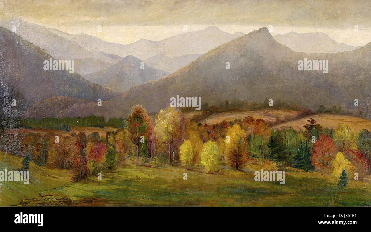 Asheville, North Carolina Mountains by Ida Jolly Crawley Stock Photohttps://www.alamy.com/image-license-details/?v=1https://www.alamy.com/asheville-north-carolina-mountains-by-ida-jolly-crawley-image153814921.html
RMJX6TE1–Asheville, North Carolina Mountains by Ida Jolly Crawley
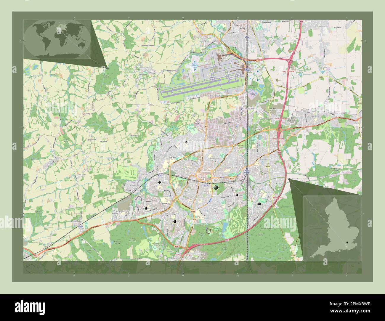 Crawley, non metropolitan district of England - Great Britain. Open Street Map. Locations of major cities of the region. Corner auxiliary location map Stock Photohttps://www.alamy.com/image-license-details/?v=1https://www.alamy.com/crawley-non-metropolitan-district-of-england-great-britain-open-street-map-locations-of-major-cities-of-the-region-corner-auxiliary-location-map-image546394626.html
RF2PMXBWP–Crawley, non metropolitan district of England - Great Britain. Open Street Map. Locations of major cities of the region. Corner auxiliary location map
 Crawley Hospital, West Sussex, GB, United Kingdom, England, N 51 6' 59'', S 0 11' 51'', map, Cartascapes Map published in 2024. Explore Cartascapes, a map revealing Earth's diverse landscapes, cultures, and ecosystems. Journey through time and space, discovering the interconnectedness of our planet's past, present, and future. Stock Photohttps://www.alamy.com/image-license-details/?v=1https://www.alamy.com/crawley-hospital-west-sussex-gb-united-kingdom-england-n-51-6-59-s-0-11-51-map-cartascapes-map-published-in-2024-explore-cartascapes-a-map-revealing-earths-diverse-landscapes-cultures-and-ecosystems-journey-through-time-and-space-discovering-the-interconnectedness-of-our-planets-past-present-and-future-image604195216.html
RM2X2YD4G–Crawley Hospital, West Sussex, GB, United Kingdom, England, N 51 6' 59'', S 0 11' 51'', map, Cartascapes Map published in 2024. Explore Cartascapes, a map revealing Earth's diverse landscapes, cultures, and ecosystems. Journey through time and space, discovering the interconnectedness of our planet's past, present, and future.
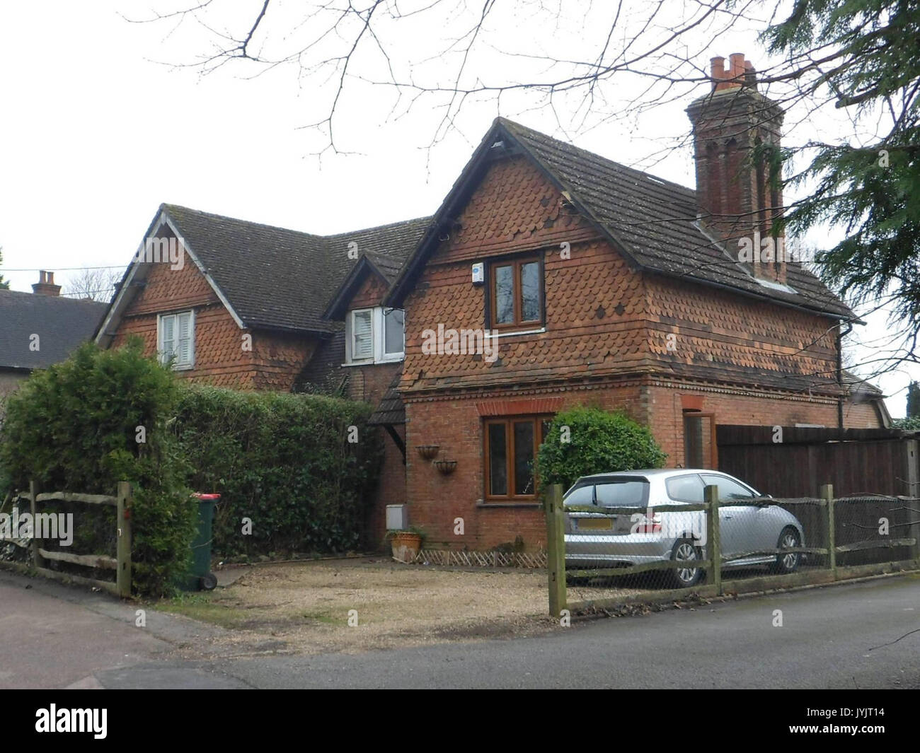 89 and 91 Three Bridges Road, Three Bridges, Crawley Stock Photohttps://www.alamy.com/image-license-details/?v=1https://www.alamy.com/89-and-91-three-bridges-road-three-bridges-crawley-image154692640.html
RMJYJT14–89 and 91 Three Bridges Road, Three Bridges, Crawley
 Crawley, non metropolitan district of England - Great Britain. Solid color shape Stock Photohttps://www.alamy.com/image-license-details/?v=1https://www.alamy.com/crawley-non-metropolitan-district-of-england-great-britain-solid-color-shape-image546394695.html
RF2PMXC07–Crawley, non metropolitan district of England - Great Britain. Solid color shape
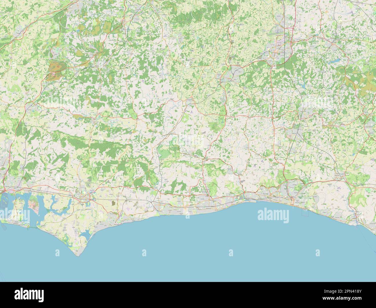 West Sussex, administrative county of England - Great Britain. Open Street Map Stock Photohttps://www.alamy.com/image-license-details/?v=1https://www.alamy.com/west-sussex-administrative-county-of-england-great-britain-open-street-map-image546518027.html
RF2PN418Y–West Sussex, administrative county of England - Great Britain. Open Street Map
 North Crawley, Milton Keynes, GB, United Kingdom, England, N 52 5' 30'', S 0 38' 12'', map, Cartascapes Map published in 2024. Explore Cartascapes, a map revealing Earth's diverse landscapes, cultures, and ecosystems. Journey through time and space, discovering the interconnectedness of our planet's past, present, and future. Stock Photohttps://www.alamy.com/image-license-details/?v=1https://www.alamy.com/north-crawley-milton-keynes-gb-united-kingdom-england-n-52-5-30-s-0-38-12-map-cartascapes-map-published-in-2024-explore-cartascapes-a-map-revealing-earths-diverse-landscapes-cultures-and-ecosystems-journey-through-time-and-space-discovering-the-interconnectedness-of-our-planets-past-present-and-future-image604259523.html
RM2X32B57–North Crawley, Milton Keynes, GB, United Kingdom, England, N 52 5' 30'', S 0 38' 12'', map, Cartascapes Map published in 2024. Explore Cartascapes, a map revealing Earth's diverse landscapes, cultures, and ecosystems. Journey through time and space, discovering the interconnectedness of our planet's past, present, and future.
 Morgan Manufacturing Company, Woodfin, North Carolina by Ida Jolly Crawley Stock Photohttps://www.alamy.com/image-license-details/?v=1https://www.alamy.com/morgan-manufacturing-company-woodfin-north-carolina-by-ida-jolly-crawley-image153814918.html
RMJX6TDX–Morgan Manufacturing Company, Woodfin, North Carolina by Ida Jolly Crawley
 West Sussex, administrative county of England - Great Britain. Low resolution satellite map Stock Photohttps://www.alamy.com/image-license-details/?v=1https://www.alamy.com/west-sussex-administrative-county-of-england-great-britain-low-resolution-satellite-map-image546517939.html
RF2PN415R–West Sussex, administrative county of England - Great Britain. Low resolution satellite map
 Husborne Crawley, Central Bedfordshire, GB, United Kingdom, England, N 52 0' 49'', S 0 36' 3'', map, Cartascapes Map published in 2024. Explore Cartascapes, a map revealing Earth's diverse landscapes, cultures, and ecosystems. Journey through time and space, discovering the interconnectedness of our planet's past, present, and future. Stock Photohttps://www.alamy.com/image-license-details/?v=1https://www.alamy.com/husborne-crawley-central-bedfordshire-gb-united-kingdom-england-n-52-0-49-s-0-36-3-map-cartascapes-map-published-in-2024-explore-cartascapes-a-map-revealing-earths-diverse-landscapes-cultures-and-ecosystems-journey-through-time-and-space-discovering-the-interconnectedness-of-our-planets-past-present-and-future-image604258931.html
RM2X32AC3–Husborne Crawley, Central Bedfordshire, GB, United Kingdom, England, N 52 0' 49'', S 0 36' 3'', map, Cartascapes Map published in 2024. Explore Cartascapes, a map revealing Earth's diverse landscapes, cultures, and ecosystems. Journey through time and space, discovering the interconnectedness of our planet's past, present, and future.
 Constance Crawley 1908 Stock Photohttps://www.alamy.com/image-license-details/?v=1https://www.alamy.com/stock-photo-constance-crawley-1908-142495854.html
RMJ7R6WJ–Constance Crawley 1908
 Mid Sussex, non metropolitan district of England - Great Britain. Open Street Map Stock Photohttps://www.alamy.com/image-license-details/?v=1https://www.alamy.com/mid-sussex-non-metropolitan-district-of-england-great-britain-open-street-map-image546478774.html
RF2PN2772–Mid Sussex, non metropolitan district of England - Great Britain. Open Street Map
 Husborne Crawley, Central Bedfordshire, GB, United Kingdom, England, N 52 0' 49'', S 0 36' 3'', map, Cartascapes Map published in 2024. Explore Cartascapes, a map revealing Earth's diverse landscapes, cultures, and ecosystems. Journey through time and space, discovering the interconnectedness of our planet's past, present, and future. Stock Photohttps://www.alamy.com/image-license-details/?v=1https://www.alamy.com/husborne-crawley-central-bedfordshire-gb-united-kingdom-england-n-52-0-49-s-0-36-3-map-cartascapes-map-published-in-2024-explore-cartascapes-a-map-revealing-earths-diverse-landscapes-cultures-and-ecosystems-journey-through-time-and-space-discovering-the-interconnectedness-of-our-planets-past-present-and-future-image604258940.html
RM2X32ACC–Husborne Crawley, Central Bedfordshire, GB, United Kingdom, England, N 52 0' 49'', S 0 36' 3'', map, Cartascapes Map published in 2024. Explore Cartascapes, a map revealing Earth's diverse landscapes, cultures, and ecosystems. Journey through time and space, discovering the interconnectedness of our planet's past, present, and future.
 West Sussex, administrative county of England - Great Britain. High resolution satellite map Stock Photohttps://www.alamy.com/image-license-details/?v=1https://www.alamy.com/west-sussex-administrative-county-of-england-great-britain-high-resolution-satellite-map-image546517906.html
RF2PN414J–West Sussex, administrative county of England - Great Britain. High resolution satellite map
 Husborne Crawley, Central Bedfordshire, GB, United Kingdom, England, N 52 0' 58'', S 0 36' 38'', map, Cartascapes Map published in 2024. Explore Cartascapes, a map revealing Earth's diverse landscapes, cultures, and ecosystems. Journey through time and space, discovering the interconnectedness of our planet's past, present, and future. Stock Photohttps://www.alamy.com/image-license-details/?v=1https://www.alamy.com/husborne-crawley-central-bedfordshire-gb-united-kingdom-england-n-52-0-58-s-0-36-38-map-cartascapes-map-published-in-2024-explore-cartascapes-a-map-revealing-earths-diverse-landscapes-cultures-and-ecosystems-journey-through-time-and-space-discovering-the-interconnectedness-of-our-planets-past-present-and-future-image604217547.html
RM2X30DJ3–Husborne Crawley, Central Bedfordshire, GB, United Kingdom, England, N 52 0' 58'', S 0 36' 38'', map, Cartascapes Map published in 2024. Explore Cartascapes, a map revealing Earth's diverse landscapes, cultures, and ecosystems. Journey through time and space, discovering the interconnectedness of our planet's past, present, and future.
 Crawley, non metropolitan district of England - Great Britain. Solid color shape. Corner auxiliary location maps Stock Photohttps://www.alamy.com/image-license-details/?v=1https://www.alamy.com/crawley-non-metropolitan-district-of-england-great-britain-solid-color-shape-corner-auxiliary-location-maps-image546394798.html
RF2PMXC3X–Crawley, non metropolitan district of England - Great Britain. Solid color shape. Corner auxiliary location maps
 Mid Sussex, non metropolitan district of England - Great Britain. High resolution satellite map Stock Photohttps://www.alamy.com/image-license-details/?v=1https://www.alamy.com/mid-sussex-non-metropolitan-district-of-england-great-britain-high-resolution-satellite-map-image546478572.html
RF2PN26YT–Mid Sussex, non metropolitan district of England - Great Britain. High resolution satellite map
 Husborne Crawley, Central Bedfordshire, GB, United Kingdom, England, N 52 0' 58'', S 0 36' 38'', map, Cartascapes Map published in 2024. Explore Cartascapes, a map revealing Earth's diverse landscapes, cultures, and ecosystems. Journey through time and space, discovering the interconnectedness of our planet's past, present, and future. Stock Photohttps://www.alamy.com/image-license-details/?v=1https://www.alamy.com/husborne-crawley-central-bedfordshire-gb-united-kingdom-england-n-52-0-58-s-0-36-38-map-cartascapes-map-published-in-2024-explore-cartascapes-a-map-revealing-earths-diverse-landscapes-cultures-and-ecosystems-journey-through-time-and-space-discovering-the-interconnectedness-of-our-planets-past-present-and-future-image604217538.html
RM2X30DHP–Husborne Crawley, Central Bedfordshire, GB, United Kingdom, England, N 52 0' 58'', S 0 36' 38'', map, Cartascapes Map published in 2024. Explore Cartascapes, a map revealing Earth's diverse landscapes, cultures, and ecosystems. Journey through time and space, discovering the interconnectedness of our planet's past, present, and future.
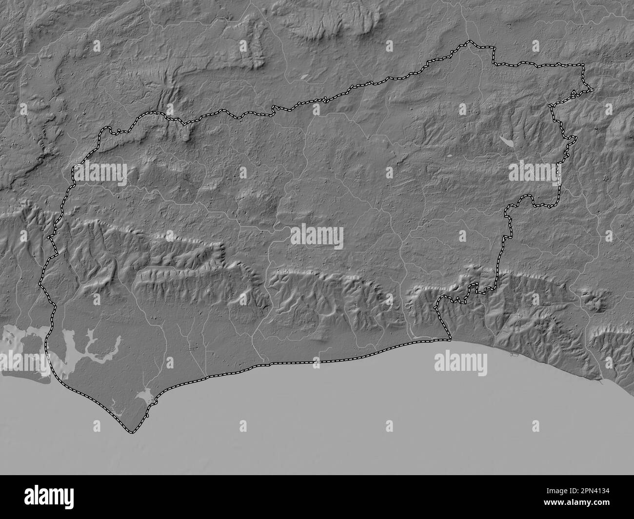 West Sussex, administrative county of England - Great Britain. Bilevel elevation map with lakes and rivers Stock Photohttps://www.alamy.com/image-license-details/?v=1https://www.alamy.com/west-sussex-administrative-county-of-england-great-britain-bilevel-elevation-map-with-lakes-and-rivers-image546517864.html
RF2PN4134–West Sussex, administrative county of England - Great Britain. Bilevel elevation map with lakes and rivers