Quick filters:
Flathead creek basin Stock Photos and Images
 huntsberger lake below huntsberger peak in whale creek basin of the whitefish range near fortine, montana Stock Photohttps://www.alamy.com/image-license-details/?v=1https://www.alamy.com/stock-photo-huntsberger-lake-below-huntsberger-peak-in-whale-creek-basin-of-the-89880310.html
RMF66B72–huntsberger lake below huntsberger peak in whale creek basin of the whitefish range near fortine, montana
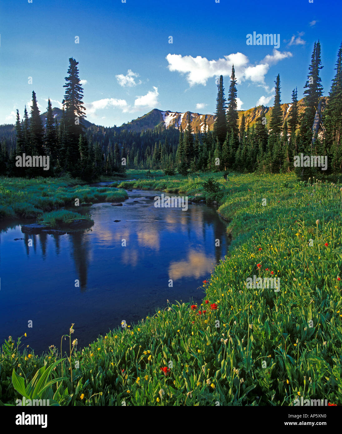 Picnic Creek in the Jewel Basin in the Swan Range of Montana Stock Photohttps://www.alamy.com/image-license-details/?v=1https://www.alamy.com/picnic-creek-in-the-jewel-basin-in-the-swan-range-of-montana-image8963279.html
RMAP5XN0–Picnic Creek in the Jewel Basin in the Swan Range of Montana
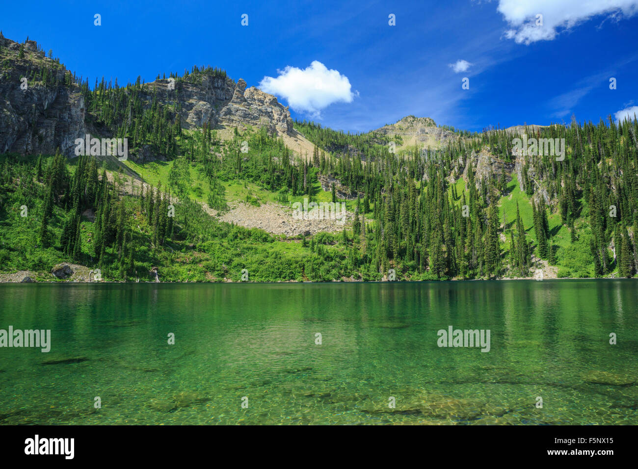 upper chain lake in red meadow creek basin of the whitefish range near polebridge, montana Stock Photohttps://www.alamy.com/image-license-details/?v=1https://www.alamy.com/stock-photo-upper-chain-lake-in-red-meadow-creek-basin-of-the-whitefish-range-89606529.html
RMF5NX15–upper chain lake in red meadow creek basin of the whitefish range near polebridge, montana
![. West fork of Swift Creek timber sale project final environmental impact statement . Forest reserves; Logging; Logging; Environmental impact statements; Harvesting. methodology has been employed on the West Fork (Weaver and Fraley 1991 citing others) from 1994 through 2003 (see FIGURE E-3 - SUBSTRATE SCORE SAMPLES FROM THE WEST FORK, 1994 THROUGH 2003 [NOT SURVEYED DURING 1995 AND 1998]). The Flathead Basin Commission has subseguently determined that streams with substrate scores of 10 or 9 in any given year were "threatened" or "impaired", respectively, in regards to bull Stock Photo . West fork of Swift Creek timber sale project final environmental impact statement . Forest reserves; Logging; Logging; Environmental impact statements; Harvesting. methodology has been employed on the West Fork (Weaver and Fraley 1991 citing others) from 1994 through 2003 (see FIGURE E-3 - SUBSTRATE SCORE SAMPLES FROM THE WEST FORK, 1994 THROUGH 2003 [NOT SURVEYED DURING 1995 AND 1998]). The Flathead Basin Commission has subseguently determined that streams with substrate scores of 10 or 9 in any given year were "threatened" or "impaired", respectively, in regards to bull Stock Photo](https://c8.alamy.com/comp/RG5F43/west-fork-of-swift-creek-timber-sale-project-final-environmental-impact-statement-forest-reserves-logging-logging-environmental-impact-statements-harvesting-methodology-has-been-employed-on-the-west-fork-weaver-and-fraley-1991-citing-others-from-1994-through-2003-see-figure-e-3-substrate-score-samples-from-the-west-fork-1994-through-2003-not-surveyed-during-1995-and-1998-the-flathead-basin-commission-has-subseguently-determined-that-streams-with-substrate-scores-of-10-or-9-in-any-given-year-were-quotthreatenedquot-or-quotimpairedquot-respectively-in-regards-to-bull-RG5F43.jpg) . West fork of Swift Creek timber sale project final environmental impact statement . Forest reserves; Logging; Logging; Environmental impact statements; Harvesting. methodology has been employed on the West Fork (Weaver and Fraley 1991 citing others) from 1994 through 2003 (see FIGURE E-3 - SUBSTRATE SCORE SAMPLES FROM THE WEST FORK, 1994 THROUGH 2003 [NOT SURVEYED DURING 1995 AND 1998]). The Flathead Basin Commission has subseguently determined that streams with substrate scores of 10 or 9 in any given year were "threatened" or "impaired", respectively, in regards to bull Stock Photohttps://www.alamy.com/image-license-details/?v=1https://www.alamy.com/west-fork-of-swift-creek-timber-sale-project-final-environmental-impact-statement-forest-reserves-logging-logging-environmental-impact-statements-harvesting-methodology-has-been-employed-on-the-west-fork-weaver-and-fraley-1991-citing-others-from-1994-through-2003-see-figure-e-3-substrate-score-samples-from-the-west-fork-1994-through-2003-not-surveyed-during-1995-and-1998-the-flathead-basin-commission-has-subseguently-determined-that-streams-with-substrate-scores-of-10-or-9-in-any-given-year-were-quotthreatenedquot-or-quotimpairedquot-respectively-in-regards-to-bull-image233690915.html
. West fork of Swift Creek timber sale project final environmental impact statement . Forest reserves; Logging; Logging; Environmental impact statements; Harvesting. methodology has been employed on the West Fork (Weaver and Fraley 1991 citing others) from 1994 through 2003 (see FIGURE E-3 - SUBSTRATE SCORE SAMPLES FROM THE WEST FORK, 1994 THROUGH 2003 [NOT SURVEYED DURING 1995 AND 1998]). The Flathead Basin Commission has subseguently determined that streams with substrate scores of 10 or 9 in any given year were "threatened" or "impaired", respectively, in regards to bull Stock Photohttps://www.alamy.com/image-license-details/?v=1https://www.alamy.com/west-fork-of-swift-creek-timber-sale-project-final-environmental-impact-statement-forest-reserves-logging-logging-environmental-impact-statements-harvesting-methodology-has-been-employed-on-the-west-fork-weaver-and-fraley-1991-citing-others-from-1994-through-2003-see-figure-e-3-substrate-score-samples-from-the-west-fork-1994-through-2003-not-surveyed-during-1995-and-1998-the-flathead-basin-commission-has-subseguently-determined-that-streams-with-substrate-scores-of-10-or-9-in-any-given-year-were-quotthreatenedquot-or-quotimpairedquot-respectively-in-regards-to-bull-image233690915.htmlRMRG5F43–. West fork of Swift Creek timber sale project final environmental impact statement . Forest reserves; Logging; Logging; Environmental impact statements; Harvesting. methodology has been employed on the West Fork (Weaver and Fraley 1991 citing others) from 1994 through 2003 (see FIGURE E-3 - SUBSTRATE SCORE SAMPLES FROM THE WEST FORK, 1994 THROUGH 2003 [NOT SURVEYED DURING 1995 AND 1998]). The Flathead Basin Commission has subseguently determined that streams with substrate scores of 10 or 9 in any given year were "threatened" or "impaired", respectively, in regards to bull
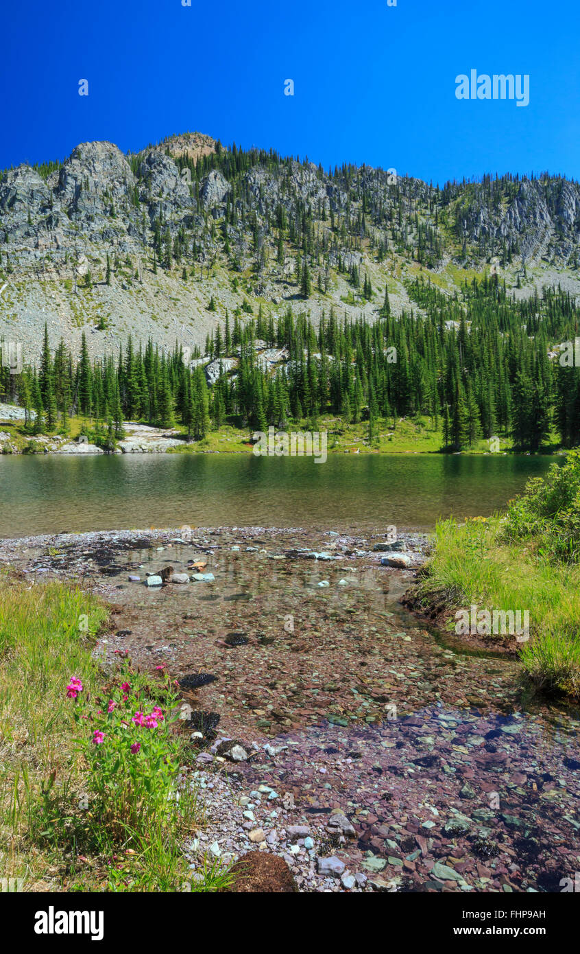 huntsberger lake below huntsberger peak in the whale creek basin of the whitefish range near fortine, montana Stock Photohttps://www.alamy.com/image-license-details/?v=1https://www.alamy.com/stock-photo-huntsberger-lake-below-huntsberger-peak-in-the-whale-creek-basin-of-96991289.html
RMFHP9AH–huntsberger lake below huntsberger peak in the whale creek basin of the whitefish range near fortine, montana
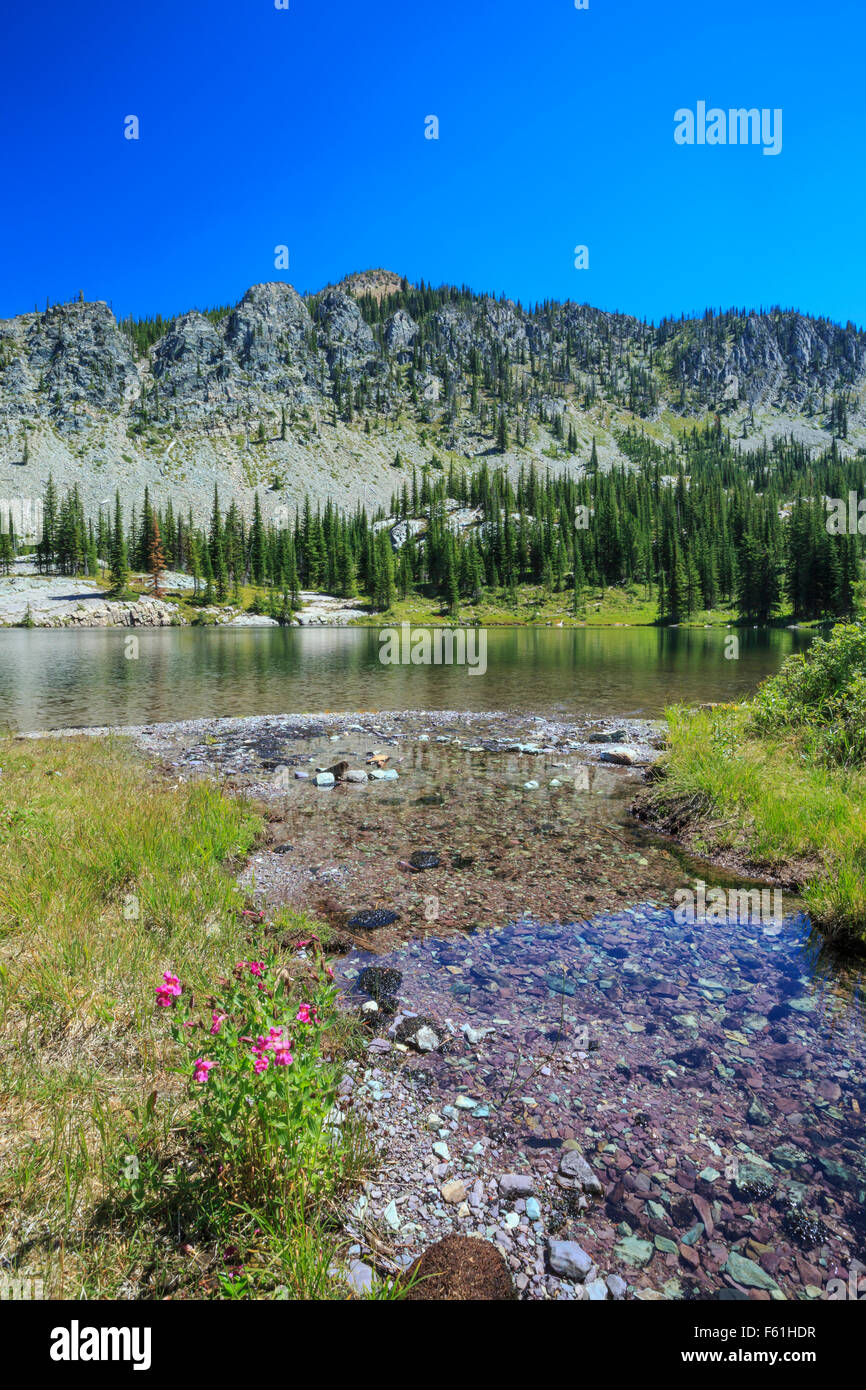 huntsberger lake below huntsberger peak in whale creek basin of the whitefish range near fortine, montana Stock Photohttps://www.alamy.com/image-license-details/?v=1https://www.alamy.com/stock-photo-huntsberger-lake-below-huntsberger-peak-in-whale-creek-basin-of-the-89775443.html
RMF61HDR–huntsberger lake below huntsberger peak in whale creek basin of the whitefish range near fortine, montana
 huntsberger lake below huntsberger peak in whale creek basin of the whitefish range near fortine, montana Stock Photohttps://www.alamy.com/image-license-details/?v=1https://www.alamy.com/stock-photo-huntsberger-lake-below-huntsberger-peak-in-whale-creek-basin-of-the-89879232.html
RMF669TG–huntsberger lake below huntsberger peak in whale creek basin of the whitefish range near fortine, montana
 winter snow along lost creek in the swan valley near swan lake, montana Stock Photohttps://www.alamy.com/image-license-details/?v=1https://www.alamy.com/stock-photo-winter-snow-along-lost-creek-in-the-swan-valley-near-swan-lake-montana-92230699.html
RMFA1D5F–winter snow along lost creek in the swan valley near swan lake, montana
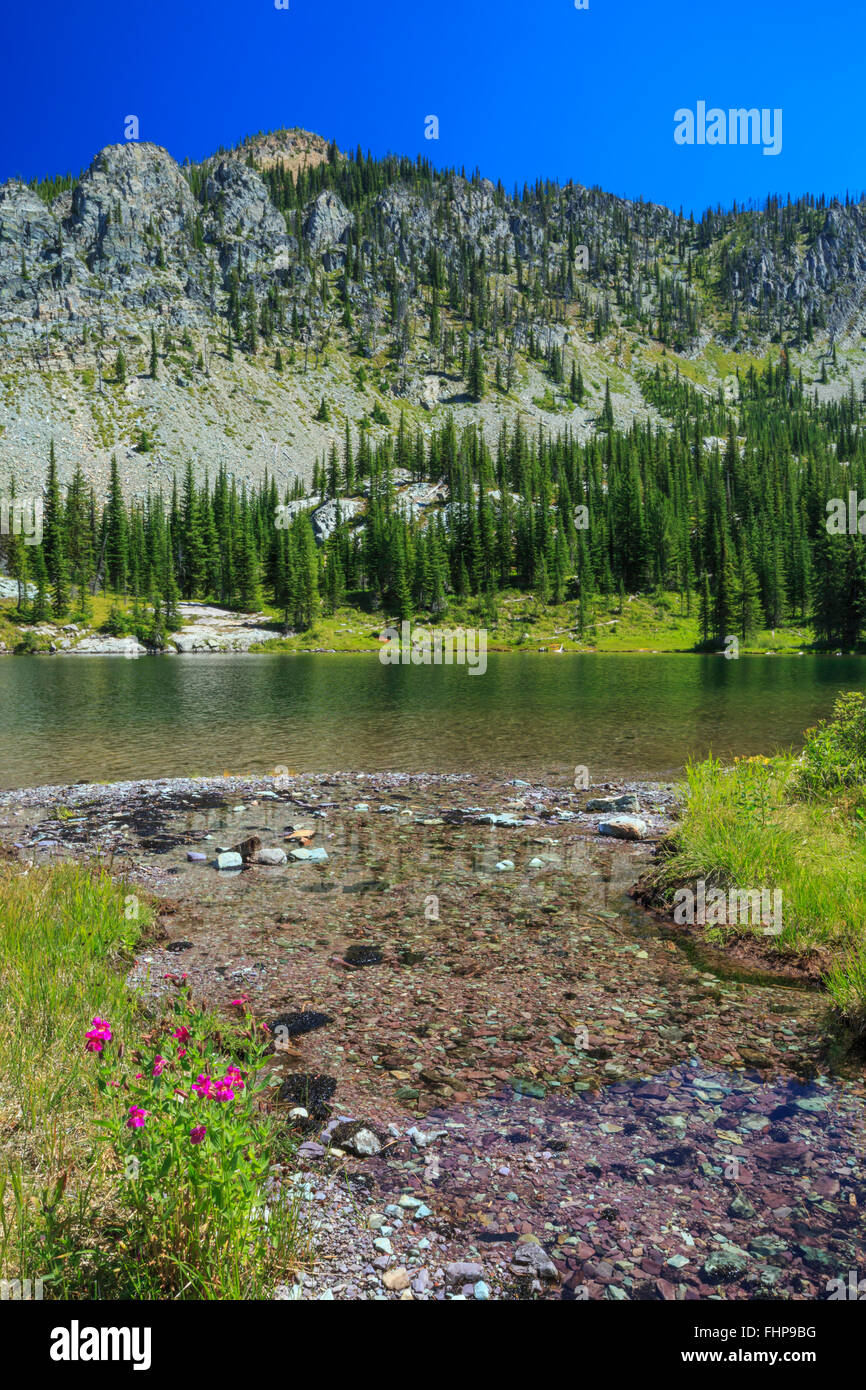 huntsberger lake below huntsberger peak in the whale creek basin of the whitefish range near fortine, montana Stock Photohttps://www.alamy.com/image-license-details/?v=1https://www.alamy.com/stock-photo-huntsberger-lake-below-huntsberger-peak-in-the-whale-creek-basin-of-96991316.html
RMFHP9BG–huntsberger lake below huntsberger peak in the whale creek basin of the whitefish range near fortine, montana
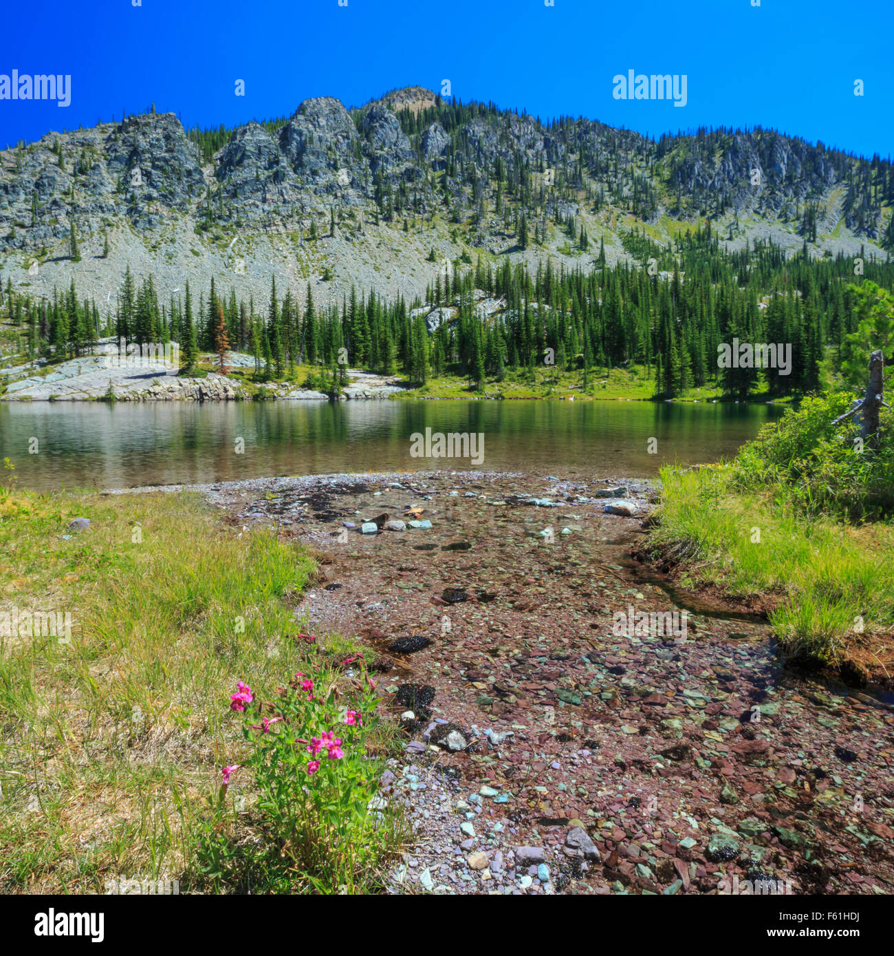 huntsberger lake below huntsberger peak in whale creek basin of the whitefish range near fortine, montana Stock Photohttps://www.alamy.com/image-license-details/?v=1https://www.alamy.com/stock-photo-huntsberger-lake-below-huntsberger-peak-in-whale-creek-basin-of-the-89775438.html
RMF61HDJ–huntsberger lake below huntsberger peak in whale creek basin of the whitefish range near fortine, montana
 huntsberger lake below huntsberger peak in the whale creek basin of the whitefish range near fortine, montana Stock Photohttps://www.alamy.com/image-license-details/?v=1https://www.alamy.com/huntsberger-lake-below-huntsberger-peak-in-the-whale-creek-basin-of-the-whitefish-range-near-fortine-montana-image600943258.html
RM2WWK976–huntsberger lake below huntsberger peak in the whale creek basin of the whitefish range near fortine, montana
 Alpine Wildflowers in the Jewel Basin in the Swan Range of Montana Stock Photohttps://www.alamy.com/image-license-details/?v=1https://www.alamy.com/alpine-wildflowers-in-the-jewel-basin-in-the-swan-range-of-montana-image8963280.html
RMAP5XN1–Alpine Wildflowers in the Jewel Basin in the Swan Range of Montana
![. Brigham Young University science bulletin. Biology -- Periodicals. Biological Series, Vol. 16, No. .3 The BoK.ciN.CE.ii oi- Utah 57 UTAH. Fig. 76. Hackelia jessicoe can Fork and Snake Creek canyons, Welsh, Murdock & Stocks 6348 (BRY); Mount Timpanogos, Little Basin above falls. B. .Iaguire 17496 (UTC); Wasatch Co., Daniels Canvon, B.F. Harrison 8717 (UTC); Strawberry Valley, D.H.' Galway 8717 (BRY). 3. Hackelia patens (nutt.) Johnst. Jouni. Am. Arb. 16:194. 1935. Type: Near the Flathead River. Collected by Wyeth. RocheUa paten's Nutt. Joum. Acad. Phila. 7:44. 1834. I.up])ula coerulcs Stock Photo . Brigham Young University science bulletin. Biology -- Periodicals. Biological Series, Vol. 16, No. .3 The BoK.ciN.CE.ii oi- Utah 57 UTAH. Fig. 76. Hackelia jessicoe can Fork and Snake Creek canyons, Welsh, Murdock & Stocks 6348 (BRY); Mount Timpanogos, Little Basin above falls. B. .Iaguire 17496 (UTC); Wasatch Co., Daniels Canvon, B.F. Harrison 8717 (UTC); Strawberry Valley, D.H.' Galway 8717 (BRY). 3. Hackelia patens (nutt.) Johnst. Jouni. Am. Arb. 16:194. 1935. Type: Near the Flathead River. Collected by Wyeth. RocheUa paten's Nutt. Joum. Acad. Phila. 7:44. 1834. I.up])ula coerulcs Stock Photo](https://c8.alamy.com/comp/RH3X16/brigham-young-university-science-bulletin-biology-periodicals-biological-series-vol-16-no-3-the-bokcinceii-oi-utah-57-utah-fig-76-hackelia-jessicoe-can-fork-and-snake-creek-canyons-welsh-murdock-amp-stocks-6348-bry-mount-timpanogos-little-basin-above-falls-b-iaguire-17496-utc-wasatch-co-daniels-canvon-bf-harrison-8717-utc-strawberry-valley-dh-galway-8717-bry-3-hackelia-patens-nutt-johnst-jouni-am-arb-16194-1935-type-near-the-flathead-river-collected-by-wyeth-rocheua-patens-nutt-joum-acad-phila-744-1834-iup-ula-coerulcs-RH3X16.jpg) . Brigham Young University science bulletin. Biology -- Periodicals. Biological Series, Vol. 16, No. .3 The BoK.ciN.CE.ii oi- Utah 57 UTAH. Fig. 76. Hackelia jessicoe can Fork and Snake Creek canyons, Welsh, Murdock & Stocks 6348 (BRY); Mount Timpanogos, Little Basin above falls. B. .Iaguire 17496 (UTC); Wasatch Co., Daniels Canvon, B.F. Harrison 8717 (UTC); Strawberry Valley, D.H.' Galway 8717 (BRY). 3. Hackelia patens (nutt.) Johnst. Jouni. Am. Arb. 16:194. 1935. Type: Near the Flathead River. Collected by Wyeth. RocheUa paten's Nutt. Joum. Acad. Phila. 7:44. 1834. I.up])ula coerulcs Stock Photohttps://www.alamy.com/image-license-details/?v=1https://www.alamy.com/brigham-young-university-science-bulletin-biology-periodicals-biological-series-vol-16-no-3-the-bokcinceii-oi-utah-57-utah-fig-76-hackelia-jessicoe-can-fork-and-snake-creek-canyons-welsh-murdock-amp-stocks-6348-bry-mount-timpanogos-little-basin-above-falls-b-iaguire-17496-utc-wasatch-co-daniels-canvon-bf-harrison-8717-utc-strawberry-valley-dh-galway-8717-bry-3-hackelia-patens-nutt-johnst-jouni-am-arb-16194-1935-type-near-the-flathead-river-collected-by-wyeth-rocheua-patens-nutt-joum-acad-phila-744-1834-iup-ula-coerulcs-image234270210.html
. Brigham Young University science bulletin. Biology -- Periodicals. Biological Series, Vol. 16, No. .3 The BoK.ciN.CE.ii oi- Utah 57 UTAH. Fig. 76. Hackelia jessicoe can Fork and Snake Creek canyons, Welsh, Murdock & Stocks 6348 (BRY); Mount Timpanogos, Little Basin above falls. B. .Iaguire 17496 (UTC); Wasatch Co., Daniels Canvon, B.F. Harrison 8717 (UTC); Strawberry Valley, D.H.' Galway 8717 (BRY). 3. Hackelia patens (nutt.) Johnst. Jouni. Am. Arb. 16:194. 1935. Type: Near the Flathead River. Collected by Wyeth. RocheUa paten's Nutt. Joum. Acad. Phila. 7:44. 1834. I.up])ula coerulcs Stock Photohttps://www.alamy.com/image-license-details/?v=1https://www.alamy.com/brigham-young-university-science-bulletin-biology-periodicals-biological-series-vol-16-no-3-the-bokcinceii-oi-utah-57-utah-fig-76-hackelia-jessicoe-can-fork-and-snake-creek-canyons-welsh-murdock-amp-stocks-6348-bry-mount-timpanogos-little-basin-above-falls-b-iaguire-17496-utc-wasatch-co-daniels-canvon-bf-harrison-8717-utc-strawberry-valley-dh-galway-8717-bry-3-hackelia-patens-nutt-johnst-jouni-am-arb-16194-1935-type-near-the-flathead-river-collected-by-wyeth-rocheua-patens-nutt-joum-acad-phila-744-1834-iup-ula-coerulcs-image234270210.htmlRMRH3X16–. Brigham Young University science bulletin. Biology -- Periodicals. Biological Series, Vol. 16, No. .3 The BoK.ciN.CE.ii oi- Utah 57 UTAH. Fig. 76. Hackelia jessicoe can Fork and Snake Creek canyons, Welsh, Murdock & Stocks 6348 (BRY); Mount Timpanogos, Little Basin above falls. B. .Iaguire 17496 (UTC); Wasatch Co., Daniels Canvon, B.F. Harrison 8717 (UTC); Strawberry Valley, D.H.' Galway 8717 (BRY). 3. Hackelia patens (nutt.) Johnst. Jouni. Am. Arb. 16:194. 1935. Type: Near the Flathead River. Collected by Wyeth. RocheUa paten's Nutt. Joum. Acad. Phila. 7:44. 1834. I.up])ula coerulcs
 huntsberger lake below huntsberger peak in the whale creek basin of the whitefish range near fortine, montana Stock Photohttps://www.alamy.com/image-license-details/?v=1https://www.alamy.com/huntsberger-lake-below-huntsberger-peak-in-the-whale-creek-basin-of-the-whitefish-range-near-fortine-montana-image600943299.html
RM2WWK98K–huntsberger lake below huntsberger peak in the whale creek basin of the whitefish range near fortine, montana
![. Brigham Young University science bulletin. Biology -- Periodicals. Fig. 76. Hackelia jessicoe can Fork and Snake Creek canyons, Welsh, Murdock & Stocks 6348 (BRY); Mount Timpanogos, Little Basin above falls. B. .Iaguire 17496 (UTC); Wasatch Co., Daniels Canvon, B.F. Harrison 8717 (UTC); Strawberry Valley, D.H.' Galway 8717 (BRY). 3. Hackelia patens (nutt.) Johnst. Jouni. Am. Arb. 16:194. 1935. Type: Near the Flathead River. Collected by Wyeth. RocheUa paten's Nutt. Joum. Acad. Phila. 7:44. 1834. I.up])ula coerulcscens Rydb. Bot. Card. 1:328. 1900. Mem. N. Y. Stems 2 or 3 short, deflexed Stock Photo . Brigham Young University science bulletin. Biology -- Periodicals. Fig. 76. Hackelia jessicoe can Fork and Snake Creek canyons, Welsh, Murdock & Stocks 6348 (BRY); Mount Timpanogos, Little Basin above falls. B. .Iaguire 17496 (UTC); Wasatch Co., Daniels Canvon, B.F. Harrison 8717 (UTC); Strawberry Valley, D.H.' Galway 8717 (BRY). 3. Hackelia patens (nutt.) Johnst. Jouni. Am. Arb. 16:194. 1935. Type: Near the Flathead River. Collected by Wyeth. RocheUa paten's Nutt. Joum. Acad. Phila. 7:44. 1834. I.up])ula coerulcscens Rydb. Bot. Card. 1:328. 1900. Mem. N. Y. Stems 2 or 3 short, deflexed Stock Photo](https://c8.alamy.com/comp/RH3X0N/brigham-young-university-science-bulletin-biology-periodicals-fig-76-hackelia-jessicoe-can-fork-and-snake-creek-canyons-welsh-murdock-amp-stocks-6348-bry-mount-timpanogos-little-basin-above-falls-b-iaguire-17496-utc-wasatch-co-daniels-canvon-bf-harrison-8717-utc-strawberry-valley-dh-galway-8717-bry-3-hackelia-patens-nutt-johnst-jouni-am-arb-16194-1935-type-near-the-flathead-river-collected-by-wyeth-rocheua-patens-nutt-joum-acad-phila-744-1834-iup-ula-coerulcscens-rydb-bot-card-1328-1900-mem-n-y-stems-2-or-3-short-deflexed-RH3X0N.jpg) . Brigham Young University science bulletin. Biology -- Periodicals. Fig. 76. Hackelia jessicoe can Fork and Snake Creek canyons, Welsh, Murdock & Stocks 6348 (BRY); Mount Timpanogos, Little Basin above falls. B. .Iaguire 17496 (UTC); Wasatch Co., Daniels Canvon, B.F. Harrison 8717 (UTC); Strawberry Valley, D.H.' Galway 8717 (BRY). 3. Hackelia patens (nutt.) Johnst. Jouni. Am. Arb. 16:194. 1935. Type: Near the Flathead River. Collected by Wyeth. RocheUa paten's Nutt. Joum. Acad. Phila. 7:44. 1834. I.up])ula coerulcscens Rydb. Bot. Card. 1:328. 1900. Mem. N. Y. Stems 2 or 3 short, deflexed Stock Photohttps://www.alamy.com/image-license-details/?v=1https://www.alamy.com/brigham-young-university-science-bulletin-biology-periodicals-fig-76-hackelia-jessicoe-can-fork-and-snake-creek-canyons-welsh-murdock-amp-stocks-6348-bry-mount-timpanogos-little-basin-above-falls-b-iaguire-17496-utc-wasatch-co-daniels-canvon-bf-harrison-8717-utc-strawberry-valley-dh-galway-8717-bry-3-hackelia-patens-nutt-johnst-jouni-am-arb-16194-1935-type-near-the-flathead-river-collected-by-wyeth-rocheua-patens-nutt-joum-acad-phila-744-1834-iup-ula-coerulcscens-rydb-bot-card-1328-1900-mem-n-y-stems-2-or-3-short-deflexed-image234270197.html
. Brigham Young University science bulletin. Biology -- Periodicals. Fig. 76. Hackelia jessicoe can Fork and Snake Creek canyons, Welsh, Murdock & Stocks 6348 (BRY); Mount Timpanogos, Little Basin above falls. B. .Iaguire 17496 (UTC); Wasatch Co., Daniels Canvon, B.F. Harrison 8717 (UTC); Strawberry Valley, D.H.' Galway 8717 (BRY). 3. Hackelia patens (nutt.) Johnst. Jouni. Am. Arb. 16:194. 1935. Type: Near the Flathead River. Collected by Wyeth. RocheUa paten's Nutt. Joum. Acad. Phila. 7:44. 1834. I.up])ula coerulcscens Rydb. Bot. Card. 1:328. 1900. Mem. N. Y. Stems 2 or 3 short, deflexed Stock Photohttps://www.alamy.com/image-license-details/?v=1https://www.alamy.com/brigham-young-university-science-bulletin-biology-periodicals-fig-76-hackelia-jessicoe-can-fork-and-snake-creek-canyons-welsh-murdock-amp-stocks-6348-bry-mount-timpanogos-little-basin-above-falls-b-iaguire-17496-utc-wasatch-co-daniels-canvon-bf-harrison-8717-utc-strawberry-valley-dh-galway-8717-bry-3-hackelia-patens-nutt-johnst-jouni-am-arb-16194-1935-type-near-the-flathead-river-collected-by-wyeth-rocheua-patens-nutt-joum-acad-phila-744-1834-iup-ula-coerulcscens-rydb-bot-card-1328-1900-mem-n-y-stems-2-or-3-short-deflexed-image234270197.htmlRMRH3X0N–. Brigham Young University science bulletin. Biology -- Periodicals. Fig. 76. Hackelia jessicoe can Fork and Snake Creek canyons, Welsh, Murdock & Stocks 6348 (BRY); Mount Timpanogos, Little Basin above falls. B. .Iaguire 17496 (UTC); Wasatch Co., Daniels Canvon, B.F. Harrison 8717 (UTC); Strawberry Valley, D.H.' Galway 8717 (BRY). 3. Hackelia patens (nutt.) Johnst. Jouni. Am. Arb. 16:194. 1935. Type: Near the Flathead River. Collected by Wyeth. RocheUa paten's Nutt. Joum. Acad. Phila. 7:44. 1834. I.up])ula coerulcscens Rydb. Bot. Card. 1:328. 1900. Mem. N. Y. Stems 2 or 3 short, deflexed
 huntsberger lake below huntsberger peak in the whale creek basin of the whitefish range near fortine, montana Stock Photohttps://www.alamy.com/image-license-details/?v=1https://www.alamy.com/huntsberger-lake-below-huntsberger-peak-in-the-whale-creek-basin-of-the-whitefish-range-near-fortine-montana-image600943312.html
RM2WWK994–huntsberger lake below huntsberger peak in the whale creek basin of the whitefish range near fortine, montana
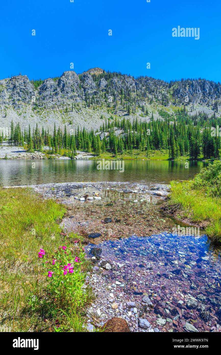 huntsberger lake below huntsberger peak in the whale creek basin of the whitefish range near fortine, montana Stock Photohttps://www.alamy.com/image-license-details/?v=1https://www.alamy.com/huntsberger-lake-below-huntsberger-peak-in-the-whale-creek-basin-of-the-whitefish-range-near-fortine-montana-image600943273.html
RM2WWK97N–huntsberger lake below huntsberger peak in the whale creek basin of the whitefish range near fortine, montana
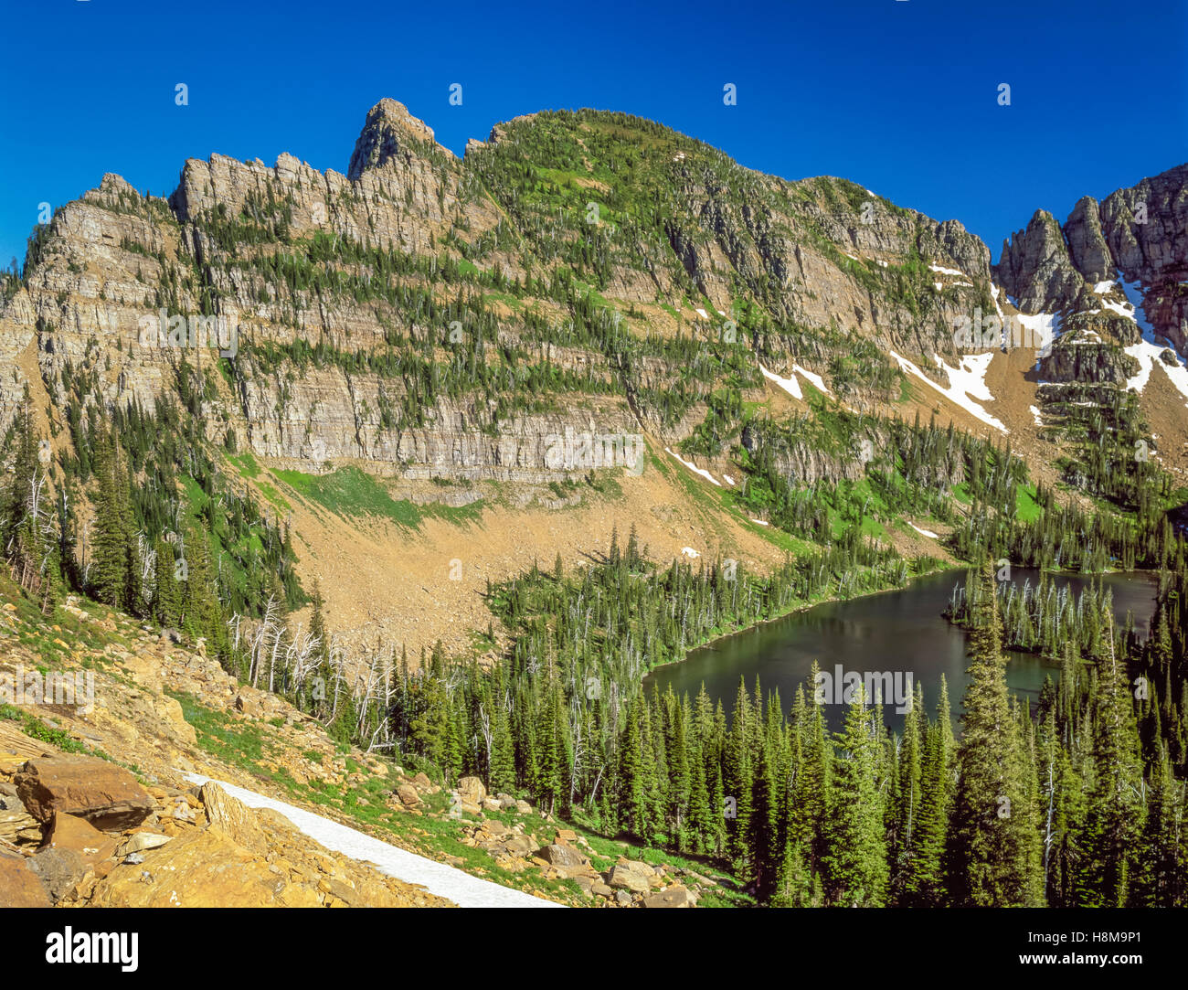 mollman lake in the mission mountains wilderness near ronan, montana Stock Photohttps://www.alamy.com/image-license-details/?v=1https://www.alamy.com/stock-photo-mollman-lake-in-the-mission-mountains-wilderness-near-ronan-montana-125836537.html
RMH8M9P1–mollman lake in the mission mountains wilderness near ronan, montana
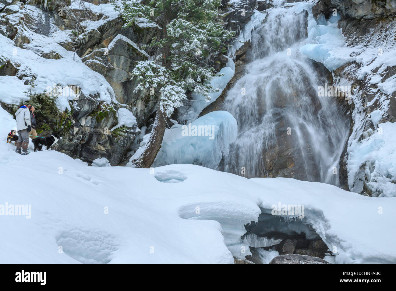 hikers enjoying the view of holland falls in winter near condon, montana Stock Photohttps://www.alamy.com/image-license-details/?v=1https://www.alamy.com/stock-photo-hikers-enjoying-the-view-of-holland-falls-in-winter-near-condon-montana-133717792.html
RMHNFABC–hikers enjoying the view of holland falls in winter near condon, montana
 old red barn below the bridger range near wilsall, montana Stock Photohttps://www.alamy.com/image-license-details/?v=1https://www.alamy.com/stock-photo-old-red-barn-below-the-bridger-range-near-wilsall-montana-143967208.html
RMJA67J0–old red barn below the bridger range near wilsall, montana
 old red barn below the bridger range near wilsall, montana Stock Photohttps://www.alamy.com/image-license-details/?v=1https://www.alamy.com/stock-photo-old-red-barn-below-the-bridger-range-near-wilsall-montana-143967231.html
RMJA67JR–old red barn below the bridger range near wilsall, montana
 old red barn below the bridger range near wilsall, montana Stock Photohttps://www.alamy.com/image-license-details/?v=1https://www.alamy.com/stock-photo-old-red-barn-below-the-bridger-range-near-wilsall-montana-143967224.html
RMJA67JG–old red barn below the bridger range near wilsall, montana
 snow bridge below holland falls in winter in flathead national forest near condon, montana Stock Photohttps://www.alamy.com/image-license-details/?v=1https://www.alamy.com/stock-photo-snow-bridge-below-holland-falls-in-winter-in-flathead-national-forest-133717789.html
RMHNFAB9–snow bridge below holland falls in winter in flathead national forest near condon, montana
 snow bridge below holland falls in winter in flathead national forest near condon, montana Stock Photohttps://www.alamy.com/image-license-details/?v=1https://www.alamy.com/stock-photo-snow-bridge-below-holland-falls-in-winter-in-flathead-national-forest-133717790.html
RMHNFABA–snow bridge below holland falls in winter in flathead national forest near condon, montana
 snow bridge below holland falls in winter in flathead national forest near condon, montana Stock Photohttps://www.alamy.com/image-license-details/?v=1https://www.alamy.com/stock-photo-snow-bridge-below-holland-falls-in-winter-in-flathead-national-forest-133717791.html
RMHNFABB–snow bridge below holland falls in winter in flathead national forest near condon, montana
 snow bridge below holland falls in winter in flathead national forest near condon, montana Stock Photohttps://www.alamy.com/image-license-details/?v=1https://www.alamy.com/stock-photo-snow-bridge-below-holland-falls-in-winter-in-flathead-national-forest-133717787.html
RMHNFAB7–snow bridge below holland falls in winter in flathead national forest near condon, montana
 old red barn below the bridger range near wilsall, montana Stock Photohttps://www.alamy.com/image-license-details/?v=1https://www.alamy.com/stock-photo-old-red-barn-below-the-bridger-range-near-wilsall-montana-143967220.html
RMJA67JC–old red barn below the bridger range near wilsall, montana
 mission mountains viewed from the rattlesnake wilderness above east fork finley creek basin near arlee, montana Stock Photohttps://www.alamy.com/image-license-details/?v=1https://www.alamy.com/stock-photo-mission-mountains-viewed-from-the-rattlesnake-wilderness-above-east-101980564.html
RMFWWH70–mission mountains viewed from the rattlesnake wilderness above east fork finley creek basin near arlee, montana
 swan peak in the swan range near condon, montana Stock Photohttps://www.alamy.com/image-license-details/?v=1https://www.alamy.com/stock-photo-swan-peak-in-the-swan-range-near-condon-montana-101980637.html
RMFWWH9H–swan peak in the swan range near condon, montana
 mollman lake in the mission mountains wilderness near ronan, montana Stock Photohttps://www.alamy.com/image-license-details/?v=1https://www.alamy.com/mollman-lake-in-the-mission-mountains-wilderness-near-ronan-montana-image156111192.html
RMK1YDBM–mollman lake in the mission mountains wilderness near ronan, montana
 holland falls in winter near condon, montana Stock Photohttps://www.alamy.com/image-license-details/?v=1https://www.alamy.com/stock-photo-holland-falls-in-winter-near-condon-montana-133717795.html
RMHNFABF–holland falls in winter near condon, montana
 holland falls in winter near condon, montana Stock Photohttps://www.alamy.com/image-license-details/?v=1https://www.alamy.com/stock-photo-holland-falls-in-winter-near-condon-montana-133717794.html
RMHNFABE–holland falls in winter near condon, montana
 glacier lake in the mission mountain foothills, with the swan range in the distance, near condon, montana Stock Photohttps://www.alamy.com/image-license-details/?v=1https://www.alamy.com/stock-photo-glacier-lake-in-the-mission-mountain-foothills-with-the-swan-range-172526250.html
RMM0K6YP–glacier lake in the mission mountain foothills, with the swan range in the distance, near condon, montana
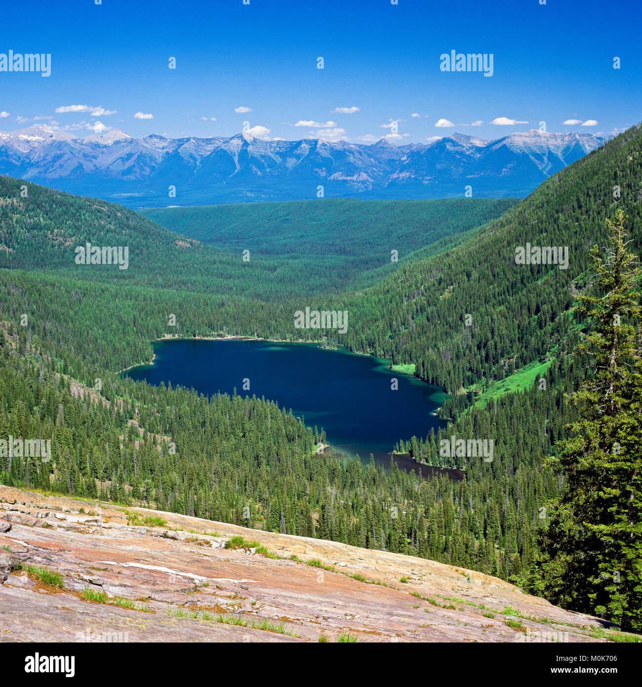 glacier lake in the mission mountain foothills, with the swan range in the distance, near condon, montana Stock Photohttps://www.alamy.com/image-license-details/?v=1https://www.alamy.com/stock-photo-glacier-lake-in-the-mission-mountain-foothills-with-the-swan-range-172526262.html
RMM0K706–glacier lake in the mission mountain foothills, with the swan range in the distance, near condon, montana
 glacier lake in the mission mountains in fall above the swan valley, with the swan range in the distance near condon, montana Stock Photohttps://www.alamy.com/image-license-details/?v=1https://www.alamy.com/stock-photo-glacier-lake-in-the-mission-mountains-in-fall-above-the-swan-valley-92229557.html
RMFA1BMN–glacier lake in the mission mountains in fall above the swan valley, with the swan range in the distance near condon, montana
 fall colors along glacier creek in the swan valley near condon, montana Stock Photohttps://www.alamy.com/image-license-details/?v=1https://www.alamy.com/stock-photo-fall-colors-along-glacier-creek-in-the-swan-valley-near-condon-montana-92229555.html
RMFA1BMK–fall colors along glacier creek in the swan valley near condon, montana
 mission reservoir below mountaineer peak in the mission mountains near saint ignatius, montana Stock Photohttps://www.alamy.com/image-license-details/?v=1https://www.alamy.com/mission-reservoir-below-mountaineer-peak-in-the-mission-mountains-near-saint-ignatius-montana-image601476507.html
RM2WXFHBR–mission reservoir below mountaineer peak in the mission mountains near saint ignatius, montana
