Quick filters:
Geographic features Stock Photos and Images
 Drone Image, Tecopa, California, Watersheds, Inyo County, Aerial View, Landscape, Scenic, Topography Stock Photohttps://www.alamy.com/image-license-details/?v=1https://www.alamy.com/drone-image-tecopa-california-watersheds-inyo-county-aerial-view-landscape-scenic-topography-image596210957.html
RF2WHYN4D–Drone Image, Tecopa, California, Watersheds, Inyo County, Aerial View, Landscape, Scenic, Topography
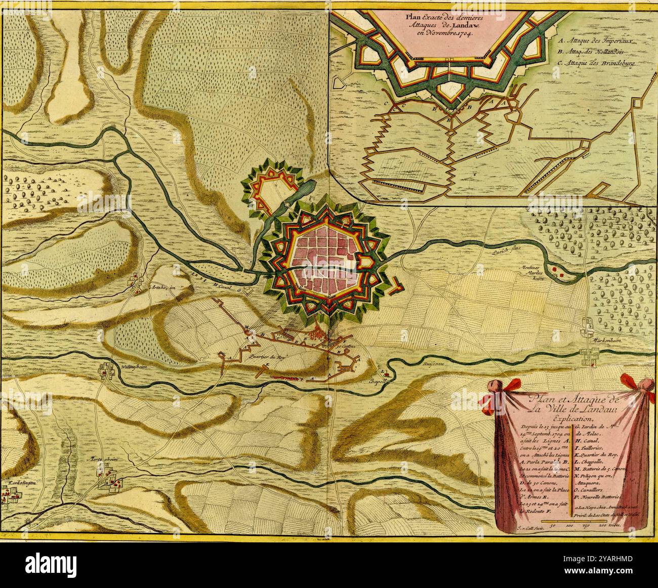 SEATTLE -SEP 11, 2022 - Antique military map showing fortifications, troop positions, rivers, forests, and other geographic features Stock Photohttps://www.alamy.com/image-license-details/?v=1https://www.alamy.com/seattle-sep-11-2022-antique-military-map-showing-fortifications-troop-positions-rivers-forests-and-other-geographic-features-image626238605.html
RM2YARHMD–SEATTLE -SEP 11, 2022 - Antique military map showing fortifications, troop positions, rivers, forests, and other geographic features
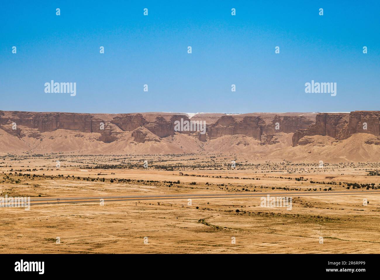 Riyadh Plateau Stock Photohttps://www.alamy.com/image-license-details/?v=1https://www.alamy.com/riyadh-plateau-image554942481.html
RF2R6RPP9–Riyadh Plateau
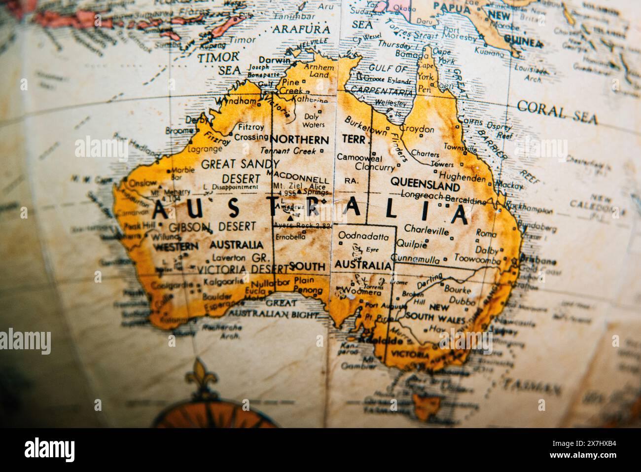 Close-up of a vintage map showing Australia and surrounding regions with detailed geographic features. Stock Photohttps://www.alamy.com/image-license-details/?v=1https://www.alamy.com/close-up-of-a-vintage-map-showing-australia-and-surrounding-regions-with-detailed-geographic-features-image607059352.html
RM2X7HXB4–Close-up of a vintage map showing Australia and surrounding regions with detailed geographic features.
 Moro bay rock from CA-46, heavy marine layer moving in reducing the visibility. Stock Photohttps://www.alamy.com/image-license-details/?v=1https://www.alamy.com/moro-bay-rock-from-ca-46-heavy-marine-layer-moving-in-reducing-the-visibility-image234685640.html
RFRHPRX0–Moro bay rock from CA-46, heavy marine layer moving in reducing the visibility.
 Rock geographic features of the coast of Washington at Second Beach, Olympic National Park. Stock Photohttps://www.alamy.com/image-license-details/?v=1https://www.alamy.com/rock-geographic-features-of-the-coast-of-washington-at-second-beach-olympic-national-park-image614494667.html
RF2XKMJ63–Rock geographic features of the coast of Washington at Second Beach, Olympic National Park.
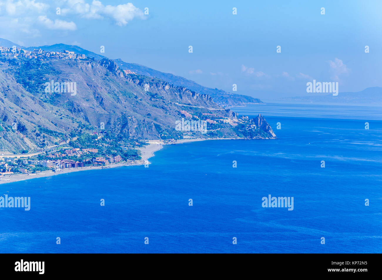 Geographic features of the Sicilian coast near the city of taormina Stock Photohttps://www.alamy.com/image-license-details/?v=1https://www.alamy.com/stock-image-geographic-features-of-the-sicilian-coast-near-the-city-of-taormina-168571569.html
RFKP72N5–Geographic features of the Sicilian coast near the city of taormina
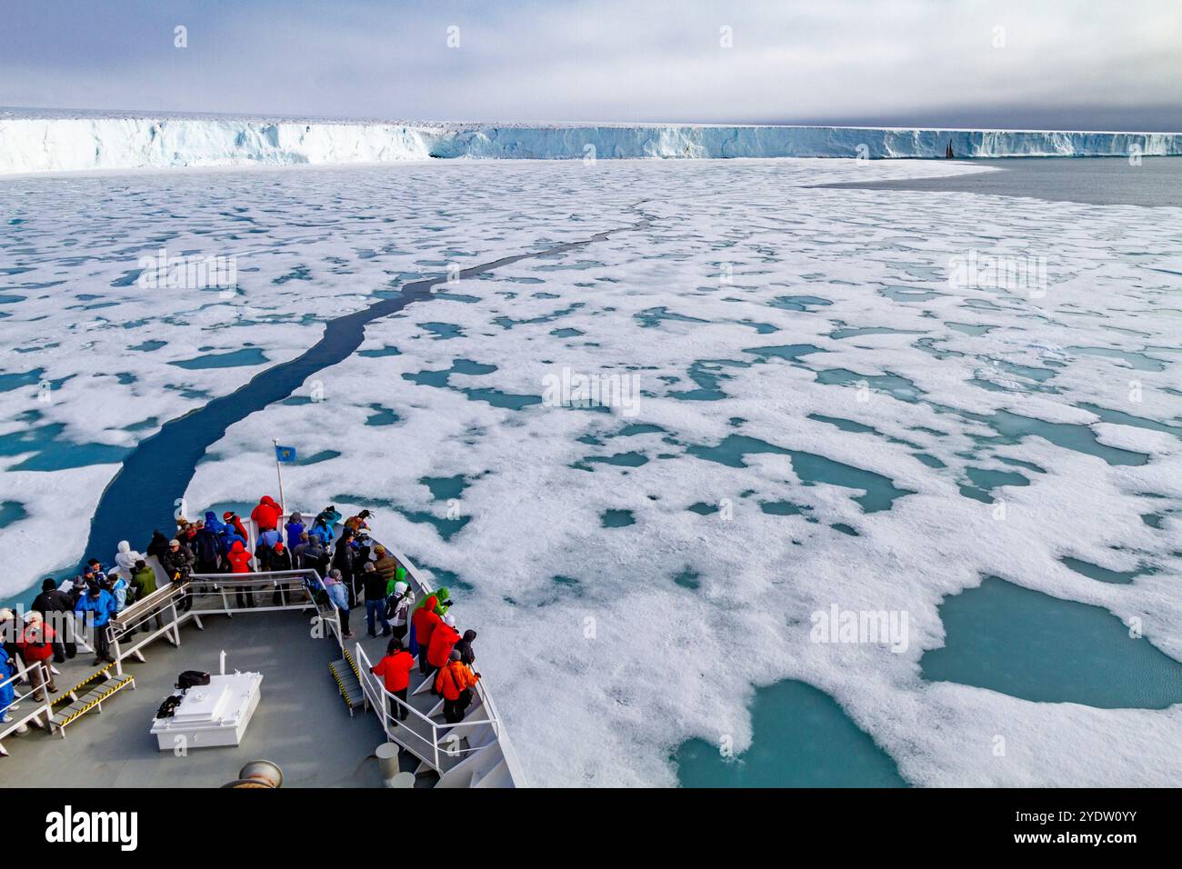 The Lindblad Expedition ship National Geographic Explorer at Austfonna in the Svalbard Archipelago, Norway, Arctic, Europe Stock Photohttps://www.alamy.com/image-license-details/?v=1https://www.alamy.com/the-lindblad-expedition-ship-national-geographic-explorer-at-austfonna-in-the-svalbard-archipelago-norway-arctic-europe-image628113359.html
RF2YDW0YY–The Lindblad Expedition ship National Geographic Explorer at Austfonna in the Svalbard Archipelago, Norway, Arctic, Europe
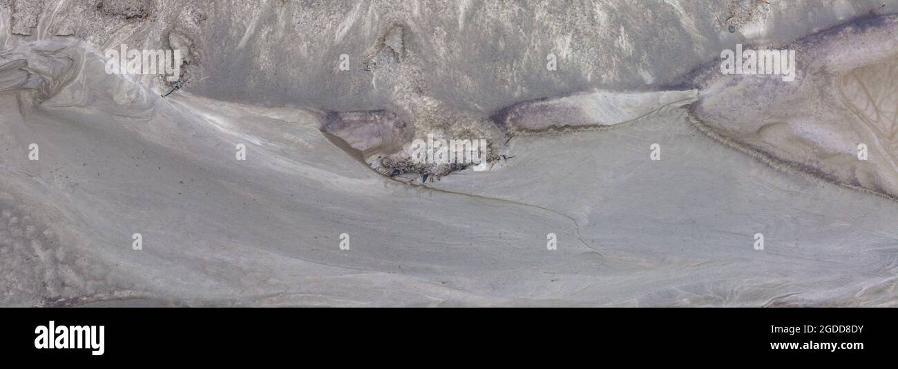 Micro-scale geographical features in silt after a river flood. The landscape looks like satellite images, with canyons; river valleys; deltas; gorges. Stock Photohttps://www.alamy.com/image-license-details/?v=1https://www.alamy.com/micro-scale-geographical-features-in-silt-after-a-river-flood-the-landscape-looks-like-satellite-images-with-canyons-river-valleys-deltas-gorges-image438541767.html
RF2GDD8DY–Micro-scale geographical features in silt after a river flood. The landscape looks like satellite images, with canyons; river valleys; deltas; gorges.
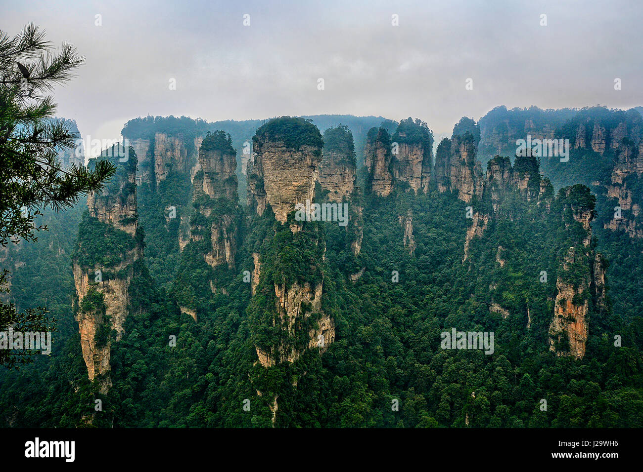 China The most notable geographic features of the park are the pillar-like formations that are seen throughout the park. Although resembling karst terrain, this area is not underlain by limestones and is not the product of chemical dissolution, which is characteristic of limestone karst. They are the result of many years of physical, rather than chemical, erosion. Much of the weathering which forms these pillars are the result of expanding ice in the winter and the plants which grow on them. The weather is moist year round, and as a result, the foliage is very dense. The weathered material is Stock Photohttps://www.alamy.com/image-license-details/?v=1https://www.alamy.com/stock-photo-china-the-most-notable-geographic-features-of-the-park-are-the-pillar-139129906.html
RMJ29WH6–China The most notable geographic features of the park are the pillar-like formations that are seen throughout the park. Although resembling karst terrain, this area is not underlain by limestones and is not the product of chemical dissolution, which is characteristic of limestone karst. They are the result of many years of physical, rather than chemical, erosion. Much of the weathering which forms these pillars are the result of expanding ice in the winter and the plants which grow on them. The weather is moist year round, and as a result, the foliage is very dense. The weathered material is
 March 2008 Cover of National Geographic Magazine Features A Border Collie, USA Stock Photohttps://www.alamy.com/image-license-details/?v=1https://www.alamy.com/march-2008-cover-of-national-geographic-magazine-features-a-border-collie-usa-image413157990.html
RM2F04Y6E–March 2008 Cover of National Geographic Magazine Features A Border Collie, USA
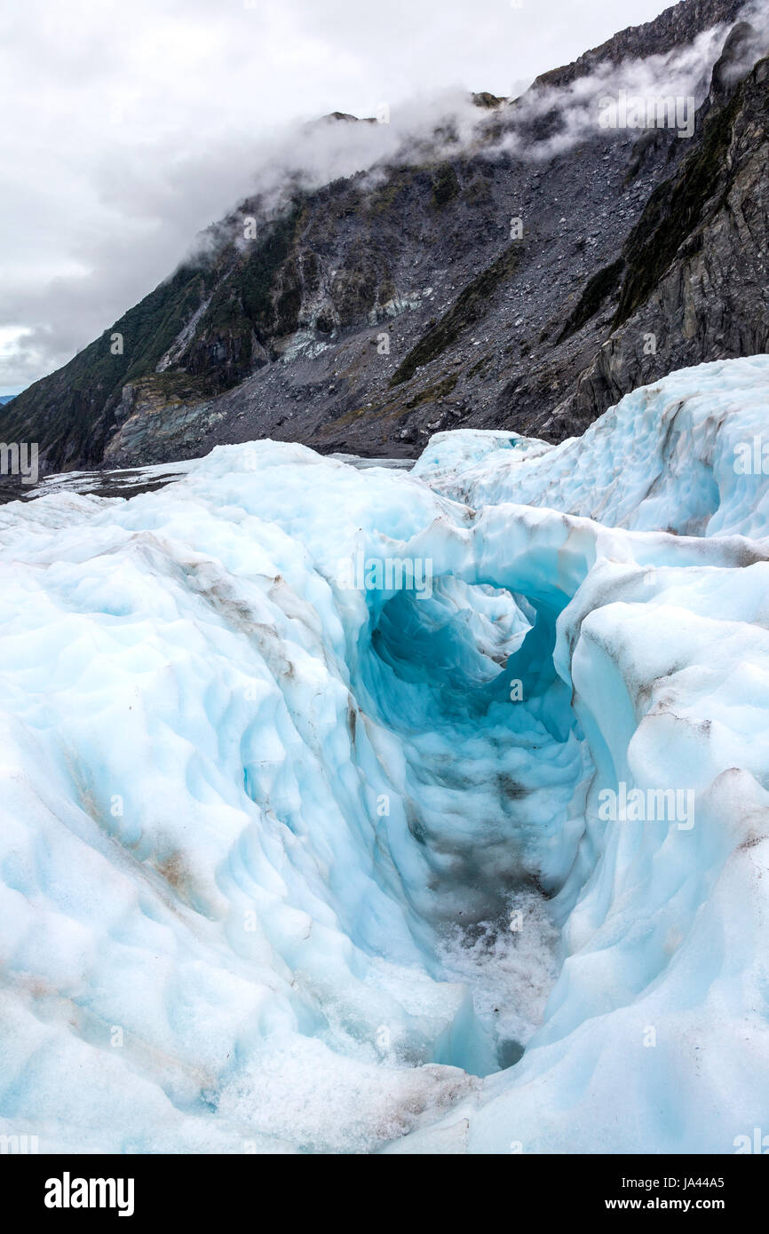 Ice arch formation on the surface of a glacier, Fox Glacier, South Island, New Zealand Stock Photohttps://www.alamy.com/image-license-details/?v=1https://www.alamy.com/stock-photo-ice-arch-formation-on-the-surface-of-a-glacier-fox-glacier-south-island-143920733.html
RMJA44A5–Ice arch formation on the surface of a glacier, Fox Glacier, South Island, New Zealand
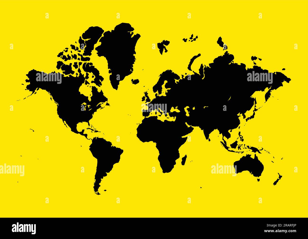 Graphic illustration of world map on yellow background, blank, vector, infographic, world map Stock Vectorhttps://www.alamy.com/image-license-details/?v=1https://www.alamy.com/graphic-illustration-of-world-map-on-yellow-background-blank-vector-infographic-world-map-image557395518.html
RF2RARFJP–Graphic illustration of world map on yellow background, blank, vector, infographic, world map
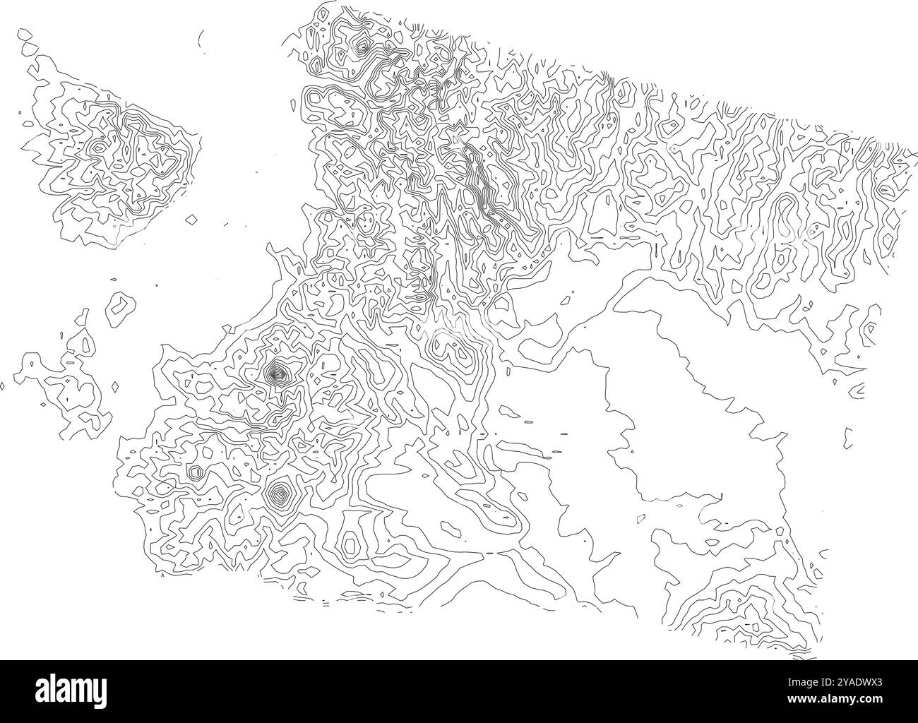 Comprehensive contour map of Washington state, illustrating its varied terrain from coastal areas to the Cascade Range Stock Vectorhttps://www.alamy.com/image-license-details/?v=1https://www.alamy.com/comprehensive-contour-map-of-washington-state-illustrating-its-varied-terrain-from-coastal-areas-to-the-cascade-range-image626025515.html
RF2YADWX3–Comprehensive contour map of Washington state, illustrating its varied terrain from coastal areas to the Cascade Range
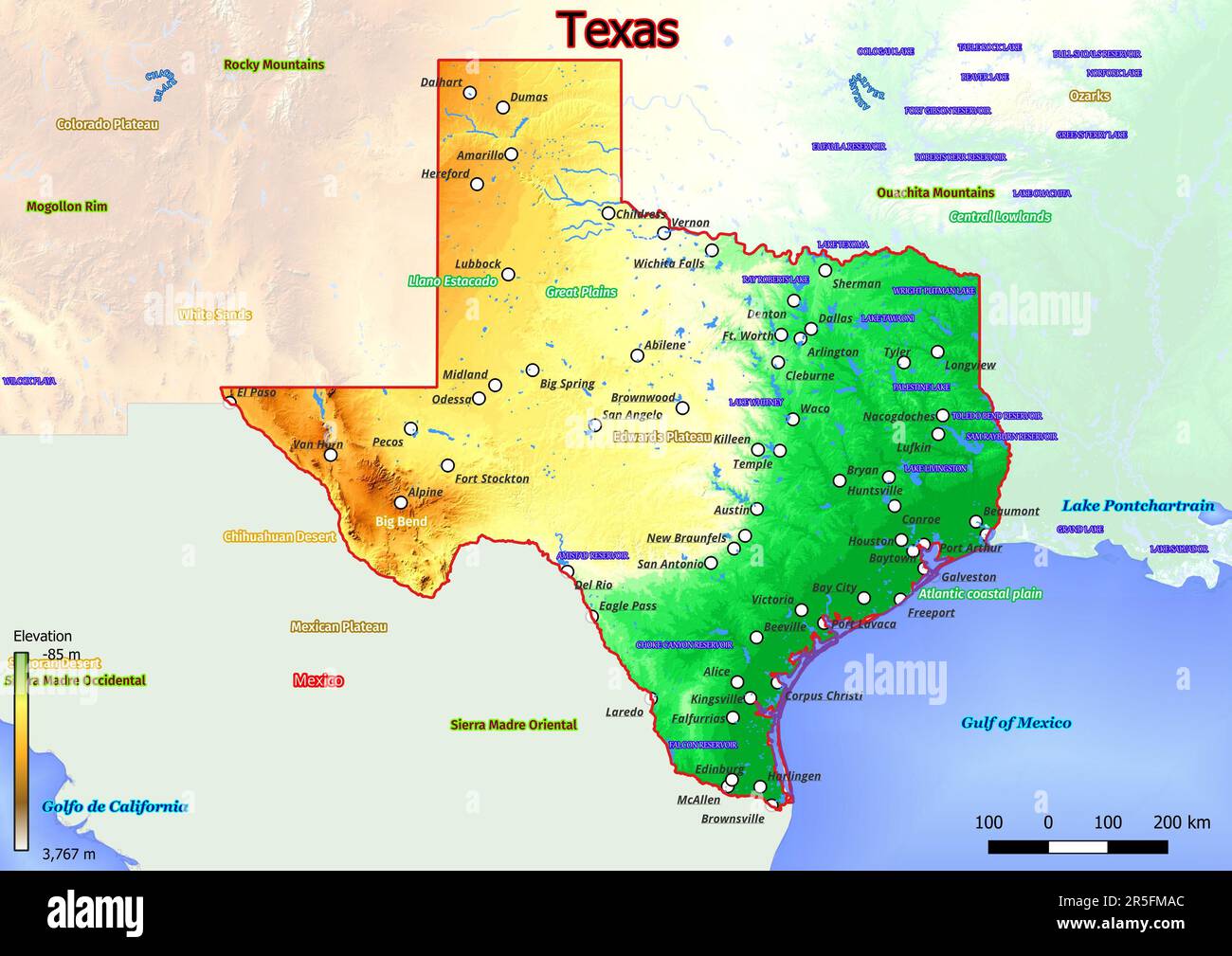 Physical map of Texas shows landform features such as mountains, hills, plains, bridges, rivers, lakes Stock Photohttps://www.alamy.com/image-license-details/?v=1https://www.alamy.com/physical-map-of-texas-shows-landform-features-such-as-mountains-hills-plains-bridges-rivers-lakes-image554150308.html
RF2R5FMAC–Physical map of Texas shows landform features such as mountains, hills, plains, bridges, rivers, lakes
 Topographic map contour background pattern. Contour Landscape Map Concept. Abstract Geographic World Topography Map. Vector illustration Stock Vectorhttps://www.alamy.com/image-license-details/?v=1https://www.alamy.com/topographic-map-contour-background-pattern-contour-landscape-map-concept-abstract-geographic-world-topography-map-vector-illustration-image181644458.html
RFMFEHA2–Topographic map contour background pattern. Contour Landscape Map Concept. Abstract Geographic World Topography Map. Vector illustration
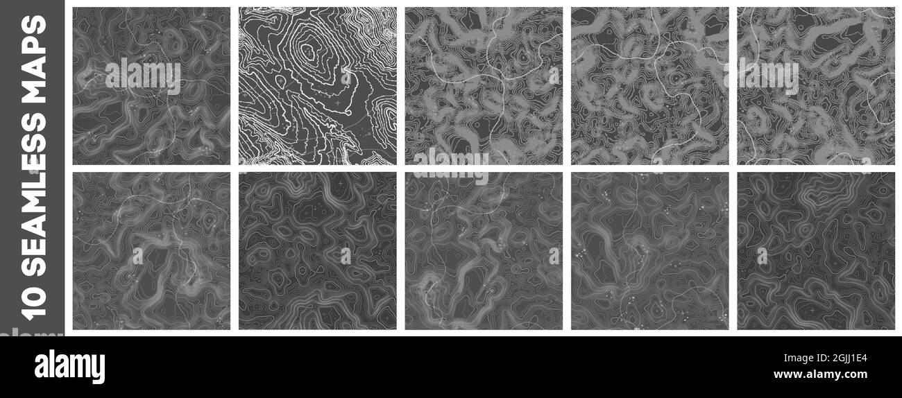 Seamless topographic map patterns set. Line topography map contour background, geographic grid. Mountain hiking trail over terrain. Stock Vectorhttps://www.alamy.com/image-license-details/?v=1https://www.alamy.com/seamless-topographic-map-patterns-set-line-topography-map-contour-background-geographic-grid-mountain-hiking-trail-over-terrain-image441719324.html
RF2GJJ1E4–Seamless topographic map patterns set. Line topography map contour background, geographic grid. Mountain hiking trail over terrain.
 Abstract Orange Topographic Lines Map Vector Illustration on Grey Background Stock Vectorhttps://www.alamy.com/image-license-details/?v=1https://www.alamy.com/stock-image-abstract-orange-topographic-lines-map-vector-illustration-on-grey-163004287.html
RFKD5DHK–Abstract Orange Topographic Lines Map Vector Illustration on Grey Background
 Waiting for dinner Stock Photohttps://www.alamy.com/image-license-details/?v=1https://www.alamy.com/stock-photo-waiting-for-dinner-130653862.html
RFHGFP9A–Waiting for dinner
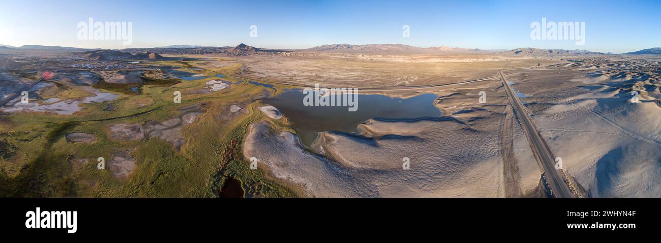 Drone Image, Tecopa, California, Watersheds, Inyo County, Aerial View, Landscape, Scenic, Topography Stock Photohttps://www.alamy.com/image-license-details/?v=1https://www.alamy.com/drone-image-tecopa-california-watersheds-inyo-county-aerial-view-landscape-scenic-topography-image596210959.html
RF2WHYN4F–Drone Image, Tecopa, California, Watersheds, Inyo County, Aerial View, Landscape, Scenic, Topography
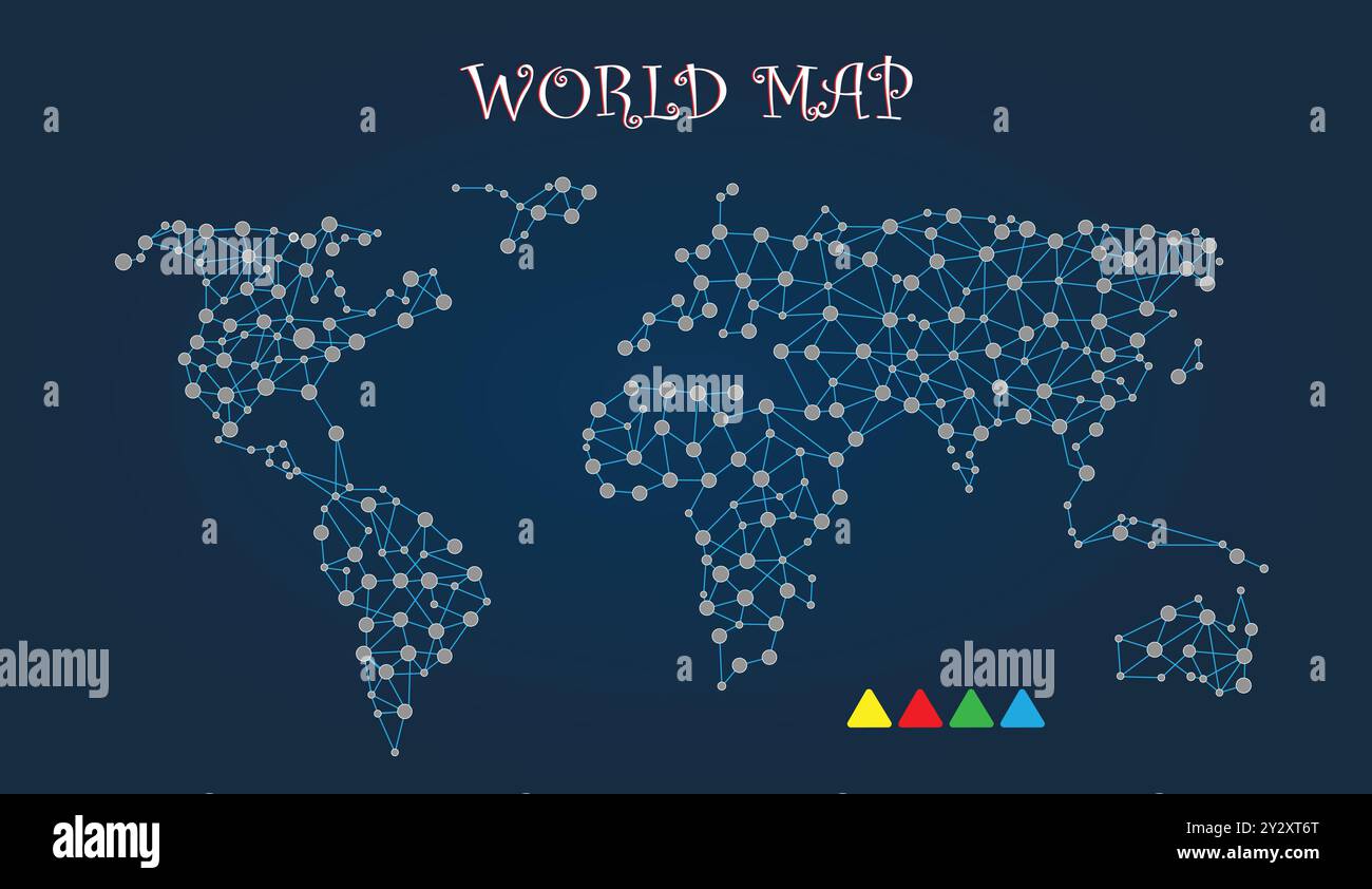 World Map with Dotted, Navy Blue Background, Vector File Stock Vectorhttps://www.alamy.com/image-license-details/?v=1https://www.alamy.com/world-map-with-dotted-navy-blue-background-vector-file-image621392320.html
RF2Y2XT6T–World Map with Dotted, Navy Blue Background, Vector File
 South Indian Landscape Stock Photohttps://www.alamy.com/image-license-details/?v=1https://www.alamy.com/stock-photo-south-indian-landscape-148030504.html
RFJGRABM–South Indian Landscape
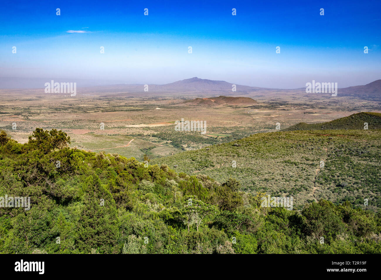 View overlooking the Great Rift Valley in Kenya Stock Photohttps://www.alamy.com/image-license-details/?v=1https://www.alamy.com/view-overlooking-the-great-rift-valley-in-kenya-image242680411.html
RMT2R19F–View overlooking the Great Rift Valley in Kenya
 Snow capped mountins on a windy day with low lying clouds across a rough lake. Stock Photohttps://www.alamy.com/image-license-details/?v=1https://www.alamy.com/snow-capped-mountins-on-a-windy-day-with-low-lying-clouds-across-a-rough-lake-image234831169.html
RFRJ1DFD–Snow capped mountins on a windy day with low lying clouds across a rough lake.
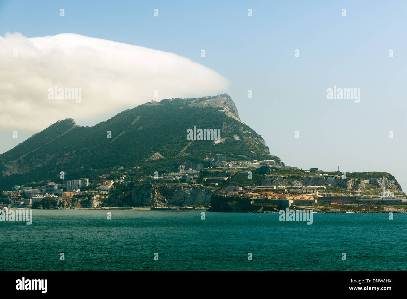 Morning Gibraltar Stock Photohttps://www.alamy.com/image-license-details/?v=1https://www.alamy.com/morning-gibraltar-image65094454.html
RMDNW8HX–Morning Gibraltar
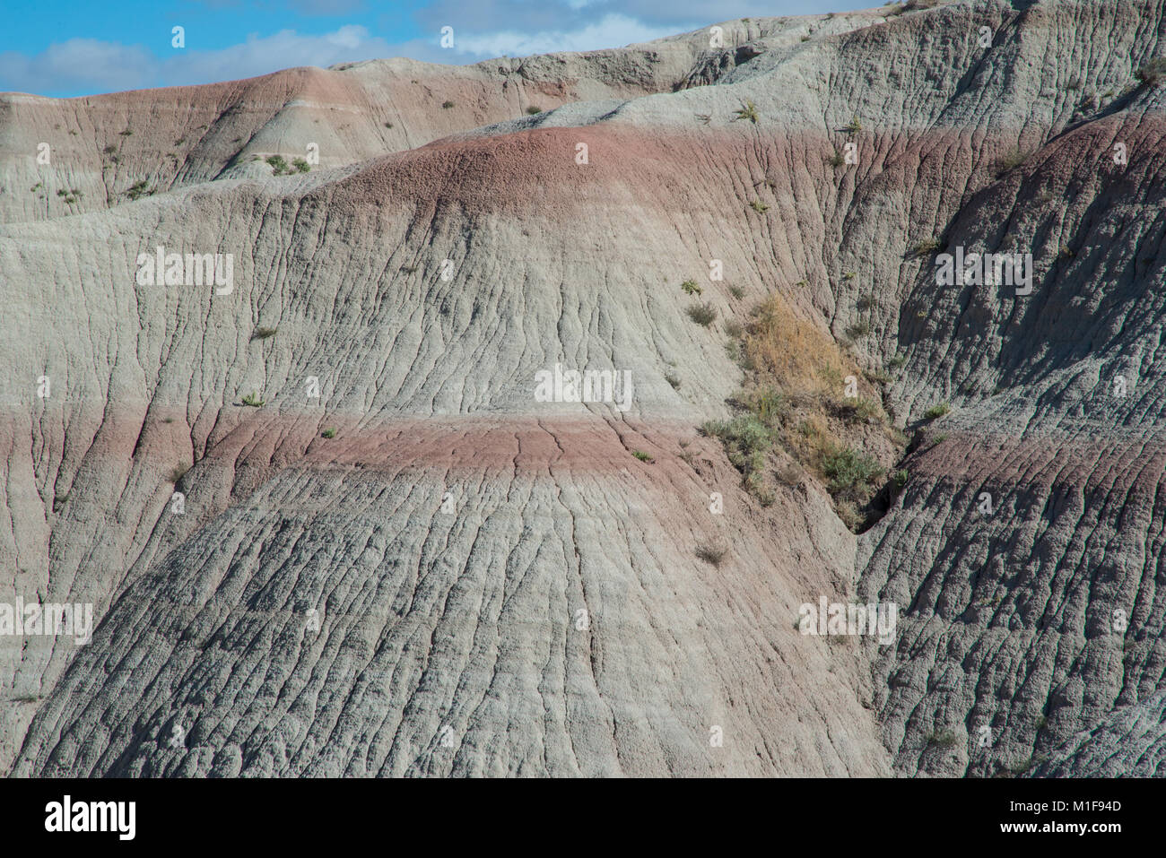 Geographic features in Badlands National Park Stock Photohttps://www.alamy.com/image-license-details/?v=1https://www.alamy.com/stock-photo-geographic-features-in-badlands-national-park-173054797.html
RFM1F94D–Geographic features in Badlands National Park
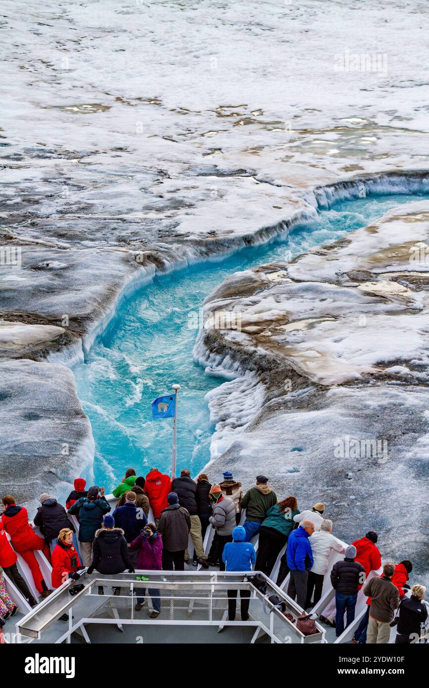 The Lindblad Expedition ship National Geographic Explorer near glacial run-off in the Svalbard Archipelago, Norway, Arctic, Europe Stock Photohttps://www.alamy.com/image-license-details/?v=1https://www.alamy.com/the-lindblad-expedition-ship-national-geographic-explorer-near-glacial-run-off-in-the-svalbard-archipelago-norway-arctic-europe-image628113375.html
RF2YDW10F–The Lindblad Expedition ship National Geographic Explorer near glacial run-off in the Svalbard Archipelago, Norway, Arctic, Europe
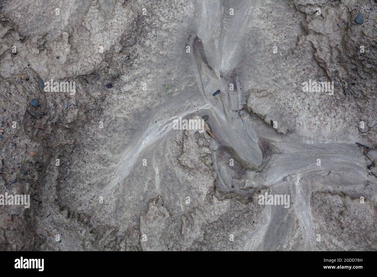 Micro-scale geographical features in silt after a river flood. The landscape looks like satellite images, with canyons; river valleys; deltas; gorges. Stock Photohttps://www.alamy.com/image-license-details/?v=1https://www.alamy.com/micro-scale-geographical-features-in-silt-after-a-river-flood-the-landscape-looks-like-satellite-images-with-canyons-river-valleys-deltas-gorges-image438540833.html
RF2GDD78H–Micro-scale geographical features in silt after a river flood. The landscape looks like satellite images, with canyons; river valleys; deltas; gorges.
 LURAY, Virginia — The Saracen's Tent at Luray Caverns represents one of the finest examples of cave drapery formations in the world. This delicate flowstone formation, recognized by National Geographic for its exceptional quality, resembles translucent curtains of stone. The formation demonstrates the slow process of mineral deposition that creates cave draperies over hundreds of thousands of years. Stock Photohttps://www.alamy.com/image-license-details/?v=1https://www.alamy.com/luray-virginia-the-saracens-tent-at-luray-caverns-represents-one-of-the-finest-examples-of-cave-drapery-formations-in-the-world-this-delicate-flowstone-formation-recognized-by-national-geographic-for-its-exceptional-quality-resembles-translucent-curtains-of-stone-the-formation-demonstrates-the-slow-process-of-mineral-deposition-that-creates-cave-draperies-over-hundreds-of-thousands-of-years-image627106800.html
RM2YC753C–LURAY, Virginia — The Saracen's Tent at Luray Caverns represents one of the finest examples of cave drapery formations in the world. This delicate flowstone formation, recognized by National Geographic for its exceptional quality, resembles translucent curtains of stone. The formation demonstrates the slow process of mineral deposition that creates cave draperies over hundreds of thousands of years.
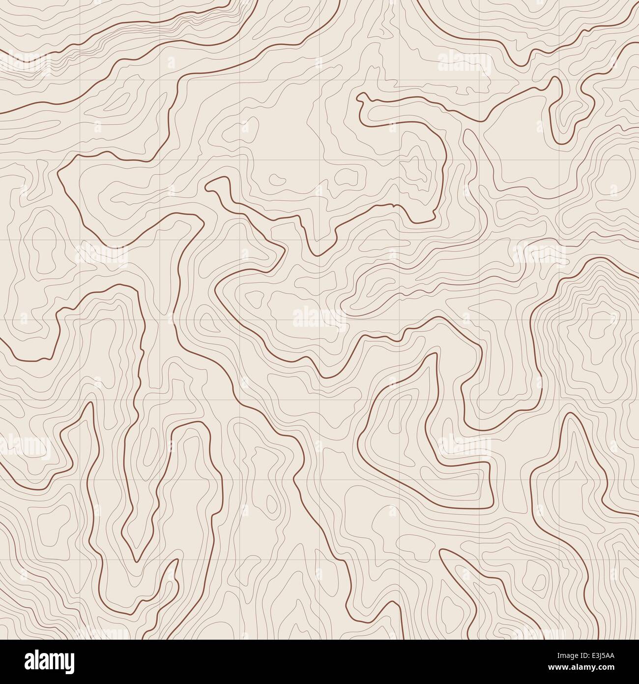 Map background with topographic contours and features Stock Vectorhttps://www.alamy.com/image-license-details/?v=1https://www.alamy.com/stock-photo-map-background-with-topographic-contours-and-features-71084786.html
RFE3J5AA–Map background with topographic contours and features
 A hairpin curve in a road through the Vermilion Cliffs region of northern Arizona, USA Stock Photohttps://www.alamy.com/image-license-details/?v=1https://www.alamy.com/a-hairpin-curve-in-a-road-through-the-vermilion-cliffs-region-of-northern-arizona-usa-image624474826.html
RM2Y7Y80A–A hairpin curve in a road through the Vermilion Cliffs region of northern Arizona, USA
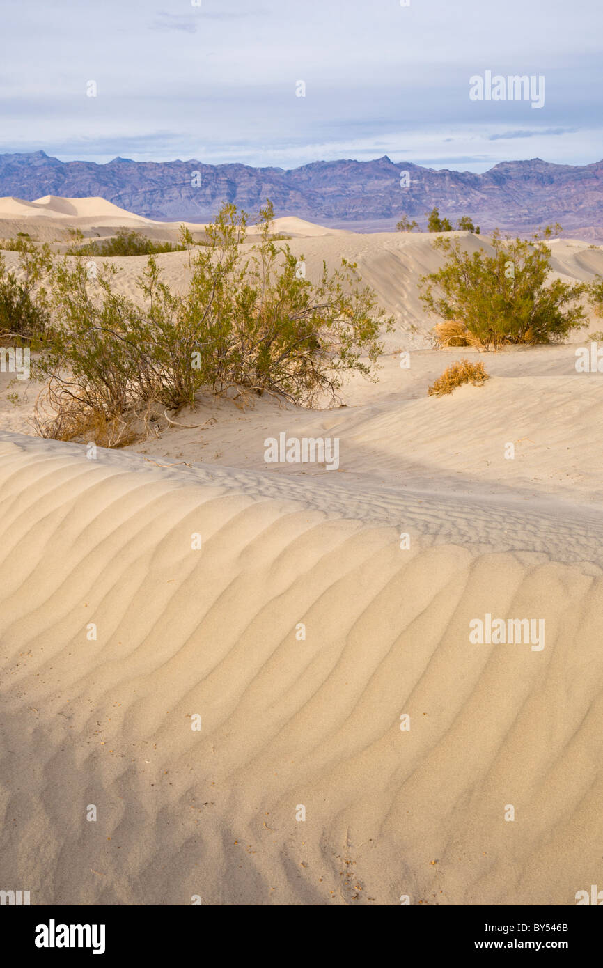 Sand ripple pattern with Creosote bushes, Larrea tridentata, at the Mesquite Flat Sand Dunes, Death Valley, California USA. Stock Photohttps://www.alamy.com/image-license-details/?v=1https://www.alamy.com/stock-photo-sand-ripple-pattern-with-creosote-bushes-larrea-tridentata-at-the-33919155.html
RMBY546B–Sand ripple pattern with Creosote bushes, Larrea tridentata, at the Mesquite Flat Sand Dunes, Death Valley, California USA.
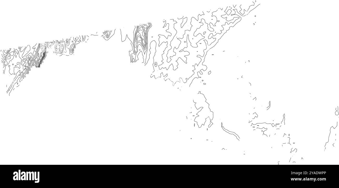 Detailed contour map of Maryland state, showcasing its varied topography from the Coastal Plain to the Appalachian Mountains Stock Vectorhttps://www.alamy.com/image-license-details/?v=1https://www.alamy.com/detailed-contour-map-of-maryland-state-showcasing-its-varied-topography-from-the-coastal-plain-to-the-appalachian-mountains-image626025422.html
RF2YADWPP–Detailed contour map of Maryland state, showcasing its varied topography from the Coastal Plain to the Appalachian Mountains
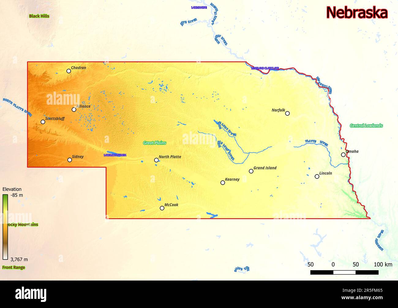 Physical map of Nebraska shows landform features such as mountains, hills, plains, bridges, rivers, lakes Stock Photohttps://www.alamy.com/image-license-details/?v=1https://www.alamy.com/physical-map-of-nebraska-shows-landform-features-such-as-mountains-hills-plains-bridges-rivers-lakes-image554150189.html
RF2R5FM65–Physical map of Nebraska shows landform features such as mountains, hills, plains, bridges, rivers, lakes
 Topographic map contour background pattern. Contour Landscape Map Concept. Abstract Geographic World Topography Map. Vector illustration Stock Vectorhttps://www.alamy.com/image-license-details/?v=1https://www.alamy.com/topographic-map-contour-background-pattern-contour-landscape-map-concept-abstract-geographic-world-topography-map-vector-illustration-image181547982.html
RFMFA68E–Topographic map contour background pattern. Contour Landscape Map Concept. Abstract Geographic World Topography Map. Vector illustration
 Seamless topographic map contour background. Topo map with elevation. Contour map vector. Geographic World Topography seamless texture vector illustration . Stock Vectorhttps://www.alamy.com/image-license-details/?v=1https://www.alamy.com/seamless-topographic-map-contour-background-topo-map-with-elevation-contour-map-vector-geographic-world-topography-seamless-texture-vector-illustration-image213066979.html
RFPAJ12Y–Seamless topographic map contour background. Topo map with elevation. Contour map vector. Geographic World Topography seamless texture vector illustration .
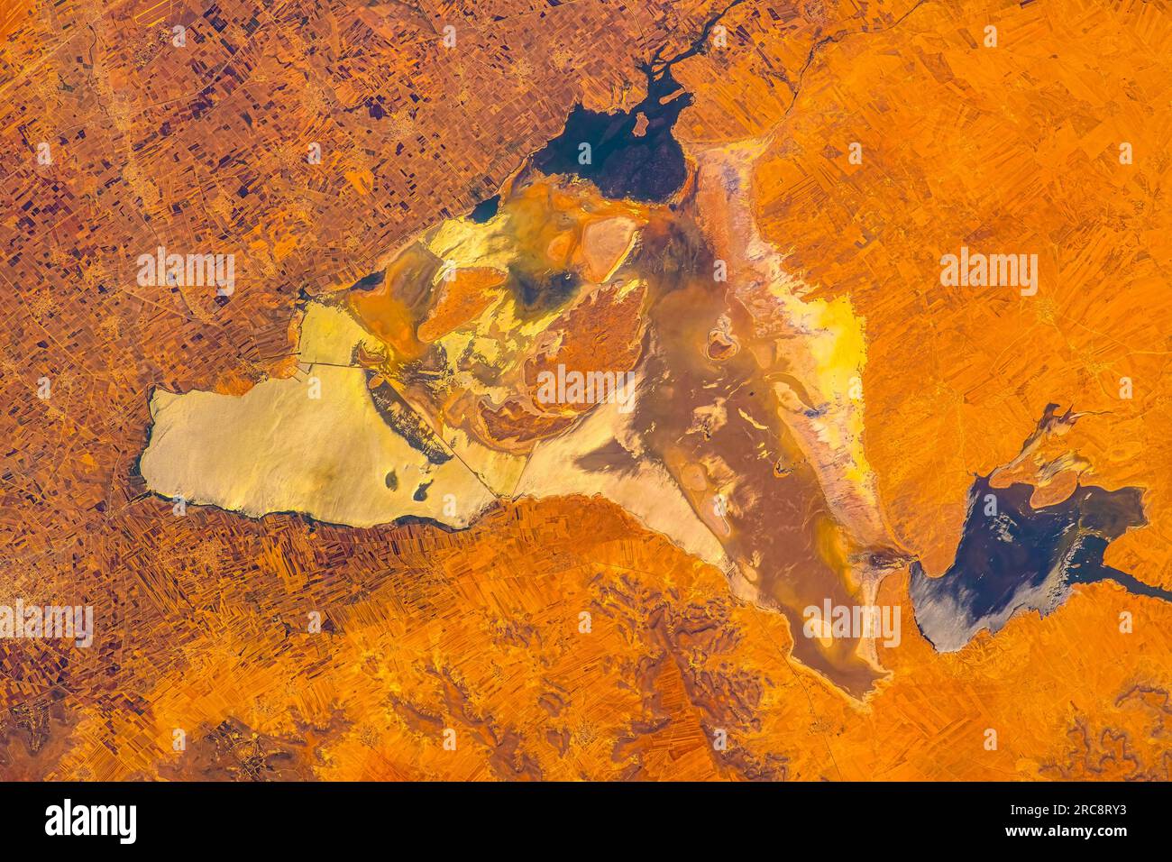 Geographic and land feature in Syria. Image by NASA. Media usage guidelines: https://www.nasa.gov/multimedia/guidelines/index.html Stock Photohttps://www.alamy.com/image-license-details/?v=1https://www.alamy.com/geographic-and-land-feature-in-syria-image-by-nasa-media-usage-guidelines-httpswwwnasagovmultimediaguidelinesindexhtml-image558302055.html
RM2RC8RY3–Geographic and land feature in Syria. Image by NASA. Media usage guidelines: https://www.nasa.gov/multimedia/guidelines/index.html
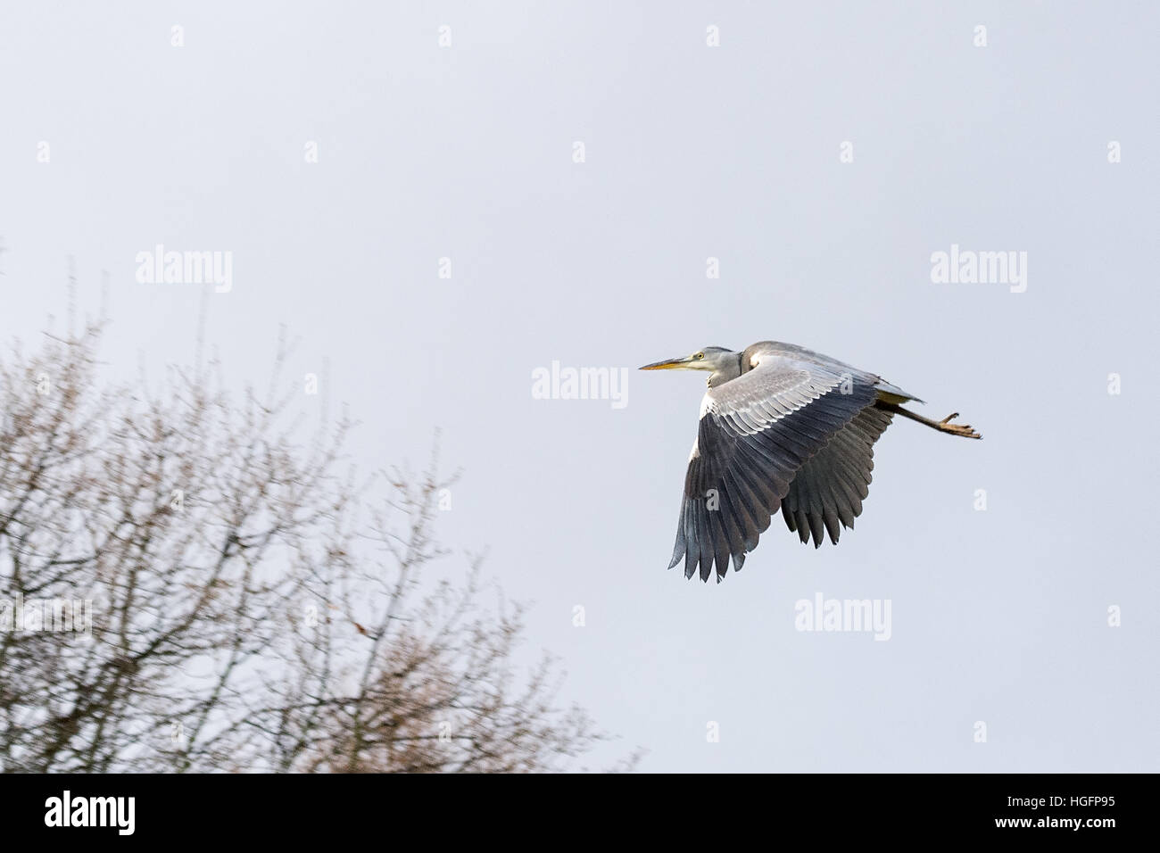 Waiting for dinner Stock Photohttps://www.alamy.com/image-license-details/?v=1https://www.alamy.com/stock-photo-waiting-for-dinner-130653857.html
RFHGFP95–Waiting for dinner
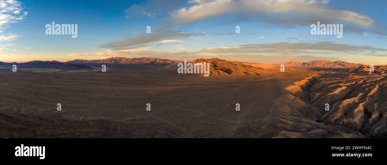 Drone Image, Tecopa, California, Watersheds, Inyo County, Aerial View, Landscape, Scenic, Topography Stock Photohttps://www.alamy.com/image-license-details/?v=1https://www.alamy.com/drone-image-tecopa-california-watersheds-inyo-county-aerial-view-landscape-scenic-topography-image596210956.html
RF2WHYN4C–Drone Image, Tecopa, California, Watersheds, Inyo County, Aerial View, Landscape, Scenic, Topography
 Aerial view of Flores Island near Maumere City in East Nusa Tenggara province of Indonesia. Stock Photohttps://www.alamy.com/image-license-details/?v=1https://www.alamy.com/stock-photo-aerial-view-of-flores-island-near-maumere-city-in-east-nusa-tenggara-135748238.html
RMHTRT7A–Aerial view of Flores Island near Maumere City in East Nusa Tenggara province of Indonesia.
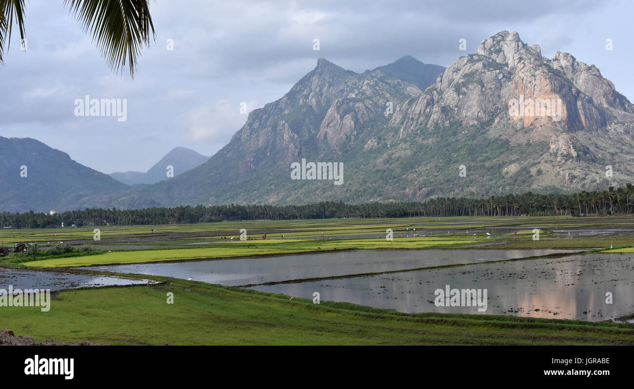 South Indian Landscpe Stock Photohttps://www.alamy.com/image-license-details/?v=1https://www.alamy.com/stock-photo-south-indian-landscpe-148030498.html
RFJGRABE–South Indian Landscpe
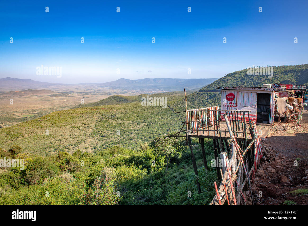 View overlooking the Great Rift Valley in Kenya Stock Photohttps://www.alamy.com/image-license-details/?v=1https://www.alamy.com/view-overlooking-the-great-rift-valley-in-kenya-image242680354.html
RMT2R17E–View overlooking the Great Rift Valley in Kenya
 Lake Tahoe's Emerald Bay with Fannatte Island covered in snow. The snow covered Sierra Nevada mountains are seen in the distance Stock Photohttps://www.alamy.com/image-license-details/?v=1https://www.alamy.com/lake-tahoes-emerald-bay-with-fannatte-island-covered-in-snow-the-snow-covered-sierra-nevada-mountains-are-seen-in-the-distance-image234831157.html
RFRJ1DF1–Lake Tahoe's Emerald Bay with Fannatte Island covered in snow. The snow covered Sierra Nevada mountains are seen in the distance
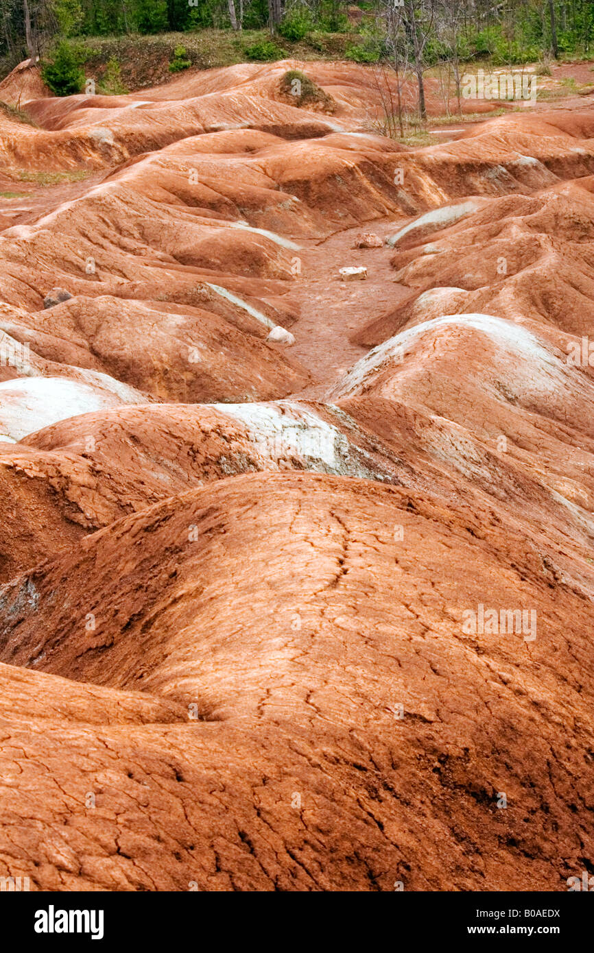 Sandstone features at Cheltenham Badlands in Ontario Stock Photohttps://www.alamy.com/image-license-details/?v=1https://www.alamy.com/stock-photo-sandstone-features-at-cheltenham-badlands-in-ontario-17441254.html
RMB0AEDX–Sandstone features at Cheltenham Badlands in Ontario
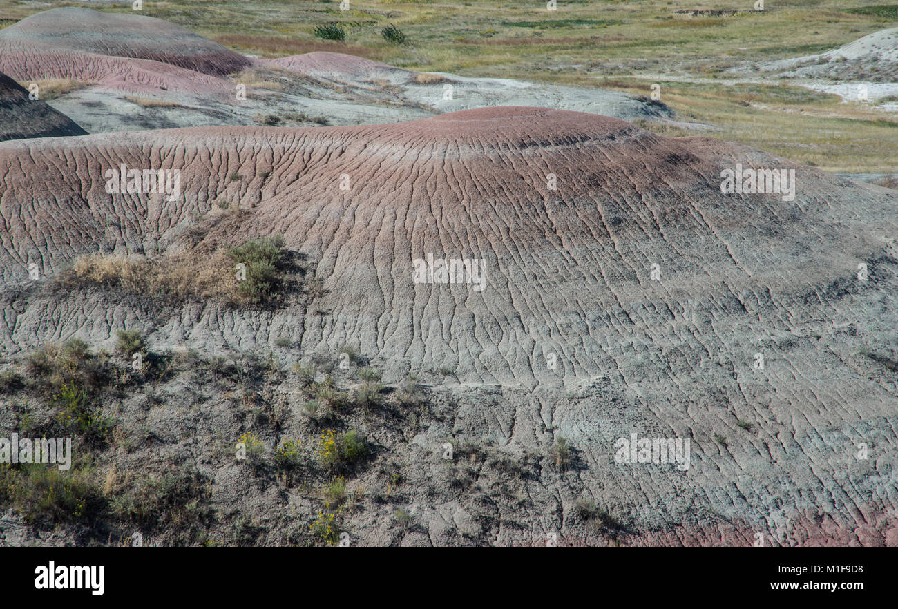 Geographic features in Badlands National Park Stock Photohttps://www.alamy.com/image-license-details/?v=1https://www.alamy.com/stock-photo-geographic-features-in-badlands-national-park-173055044.html
RFM1F9D8–Geographic features in Badlands National Park
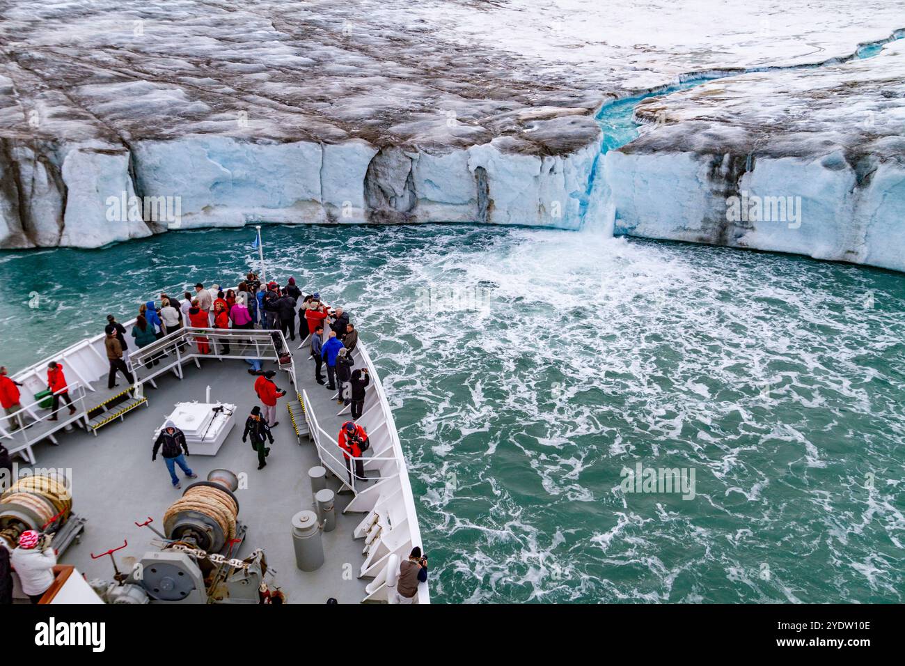 The Lindblad Expedition ship National Geographic Explorer near glacial run-off in the Svalbard Archipelago, Norway, Arctic, Europe Stock Photohttps://www.alamy.com/image-license-details/?v=1https://www.alamy.com/the-lindblad-expedition-ship-national-geographic-explorer-near-glacial-run-off-in-the-svalbard-archipelago-norway-arctic-europe-image628113374.html
RF2YDW10E–The Lindblad Expedition ship National Geographic Explorer near glacial run-off in the Svalbard Archipelago, Norway, Arctic, Europe
 Micro-scale geographical features in silt after a river flood. The landscape looks like satellite images, with canyons; river valleys; deltas; gorges. Stock Photohttps://www.alamy.com/image-license-details/?v=1https://www.alamy.com/micro-scale-geographical-features-in-silt-after-a-river-flood-the-landscape-looks-like-satellite-images-with-canyons-river-valleys-deltas-gorges-image438541149.html
RF2GDD7KW–Micro-scale geographical features in silt after a river flood. The landscape looks like satellite images, with canyons; river valleys; deltas; gorges.
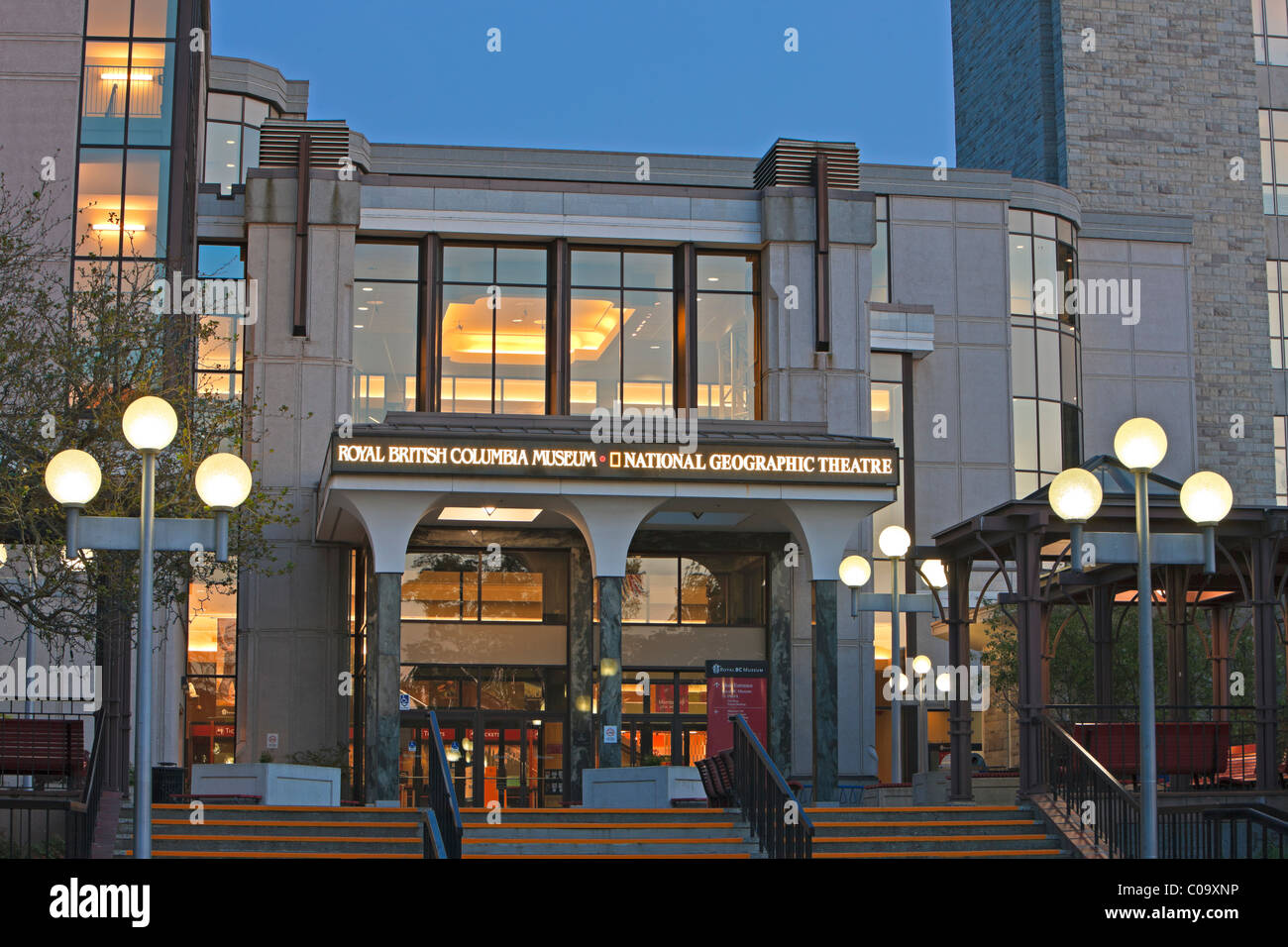 Architecture during twilight at the entrance to the Royal British Columbia Museum / National Geographic Theatre, Victoria Stock Photohttps://www.alamy.com/image-license-details/?v=1https://www.alamy.com/stock-photo-architecture-during-twilight-at-the-entrance-to-the-royal-british-34639298.html
RMC09XNP–Architecture during twilight at the entrance to the Royal British Columbia Museum / National Geographic Theatre, Victoria
 Aerial view of a mountainous landscape bathed in the warm glow of the setting or rising sun, with a haze diffusing the sunlight. Stock Photohttps://www.alamy.com/image-license-details/?v=1https://www.alamy.com/aerial-view-of-a-mountainous-landscape-bathed-in-the-warm-glow-of-the-setting-or-rising-sun-with-a-haze-diffusing-the-sunlight-image608611795.html
RF2XA4JFF–Aerial view of a mountainous landscape bathed in the warm glow of the setting or rising sun, with a haze diffusing the sunlight.
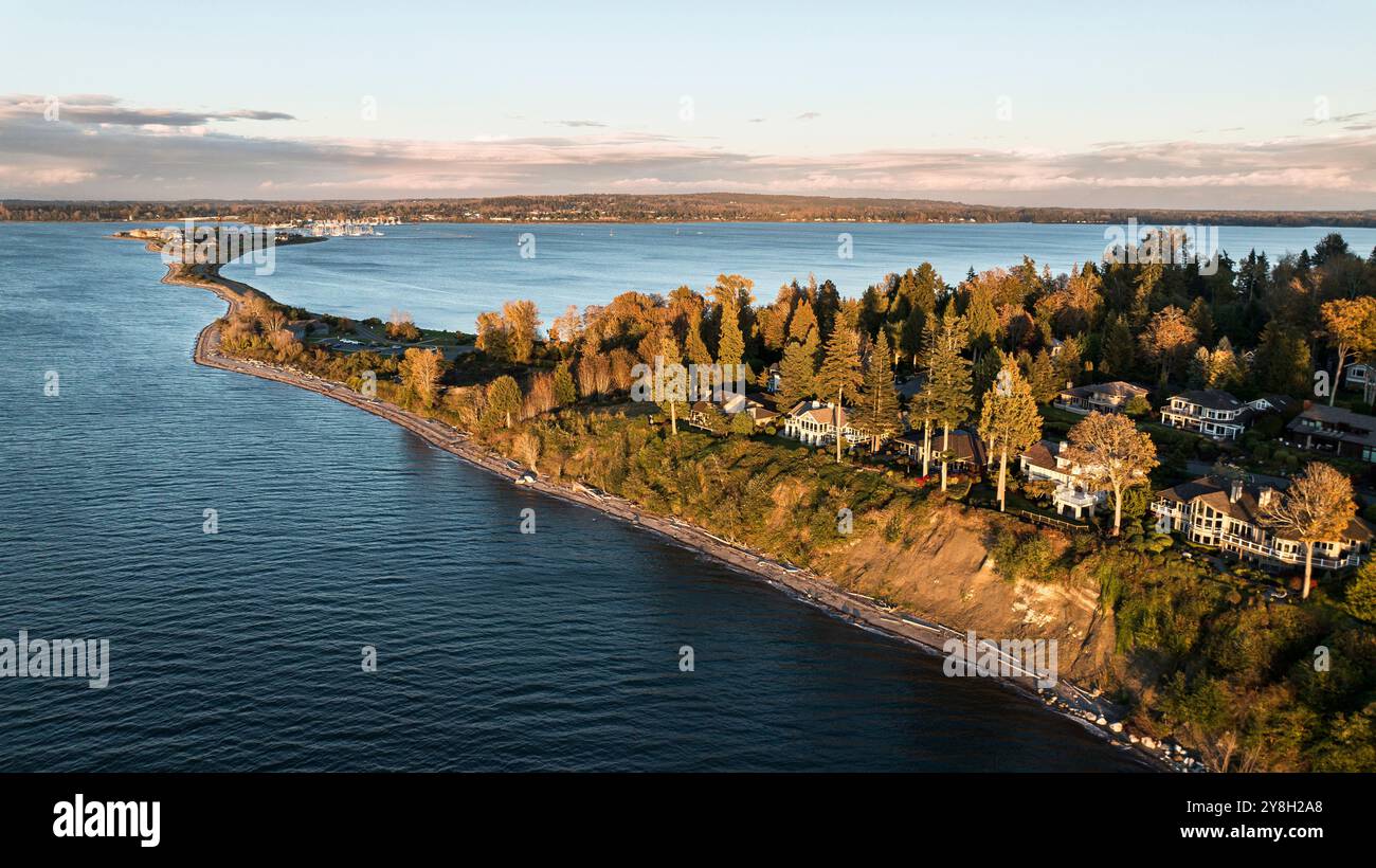 Aerial view of Semiahmoo Spit near Blaine, Washington, USA Stock Photohttps://www.alamy.com/image-license-details/?v=1https://www.alamy.com/aerial-view-of-semiahmoo-spit-near-blaine-washington-usa-image624865536.html
RM2Y8H2A8–Aerial view of Semiahmoo Spit near Blaine, Washington, USA
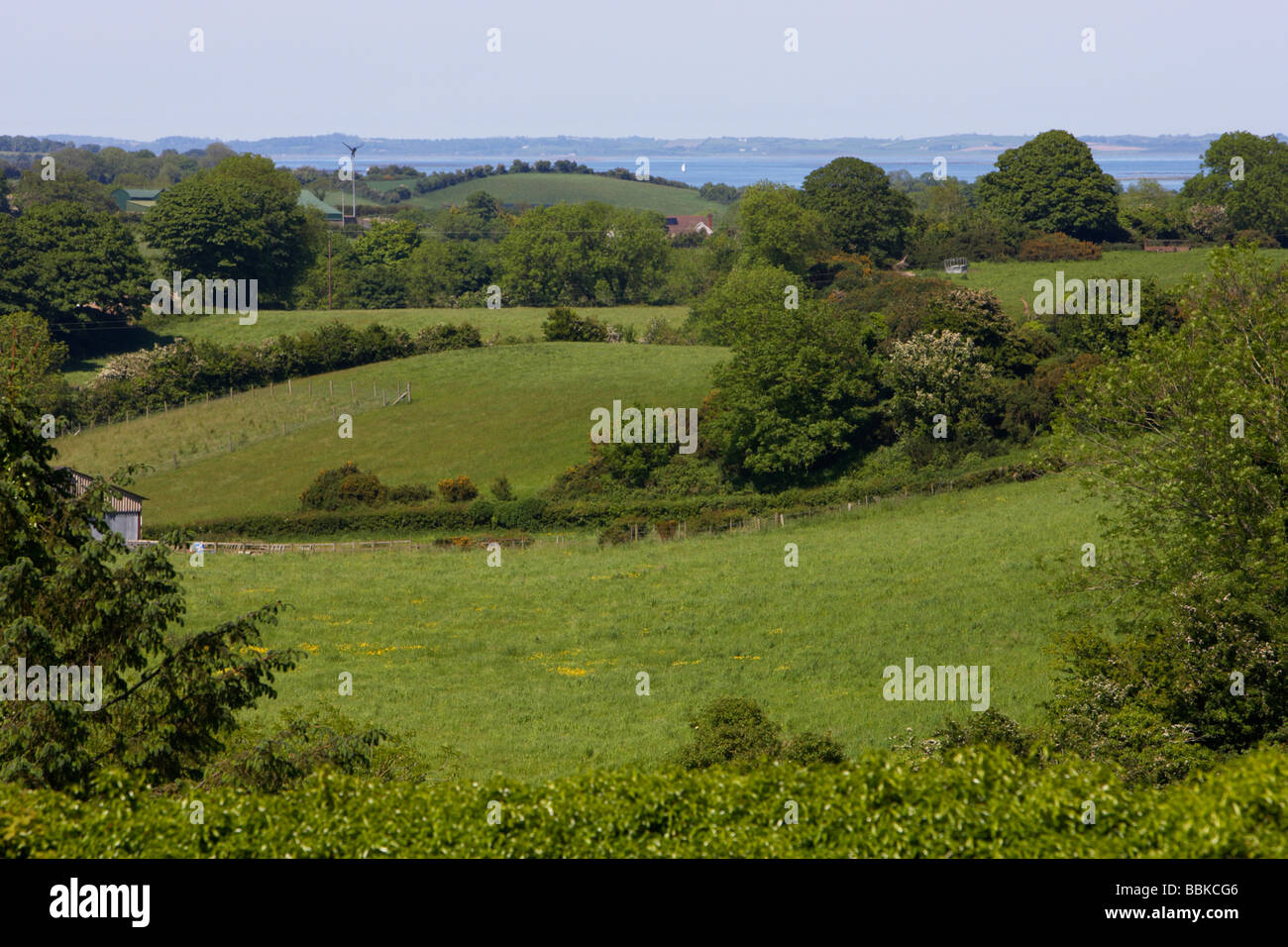 drumlin farmland landscape near strangford lough county down northern ireland uk Stock Photohttps://www.alamy.com/image-license-details/?v=1https://www.alamy.com/stock-photo-drumlin-farmland-landscape-near-strangford-lough-county-down-northern-24398534.html
RMBBKCG6–drumlin farmland landscape near strangford lough county down northern ireland uk
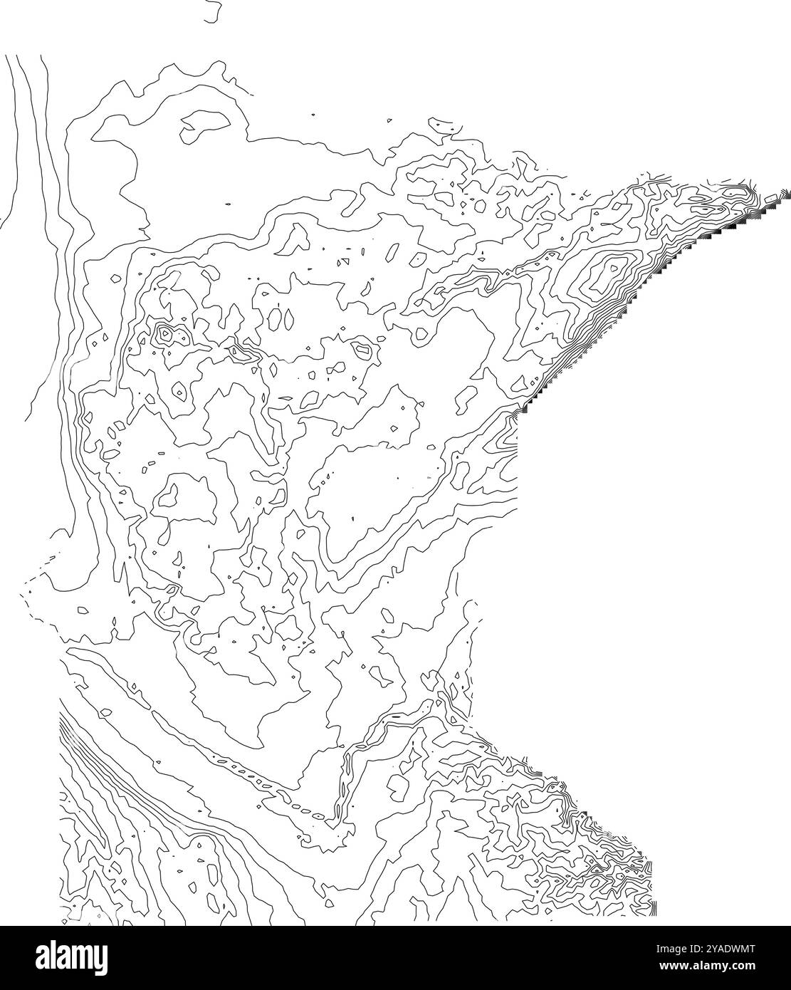 'Comprehensive contour map of Minnesota state, illustrating its varied topography from the North Woods to the prairie lands Stock Vectorhttps://www.alamy.com/image-license-details/?v=1https://www.alamy.com/comprehensive-contour-map-of-minnesota-state-illustrating-its-varied-topography-from-the-north-woods-to-the-prairie-lands-image626025368.html
RF2YADWMT–'Comprehensive contour map of Minnesota state, illustrating its varied topography from the North Woods to the prairie lands
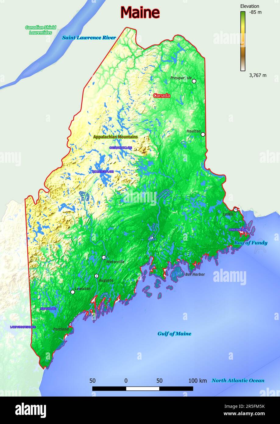 Physical map of Maine shows landform features such as mountains, hills, plains, bridges, rivers, lakes Stock Photohttps://www.alamy.com/image-license-details/?v=1https://www.alamy.com/physical-map-of-maine-shows-landform-features-such-as-mountains-hills-plains-bridges-rivers-lakes-image554150175.html
RF2R5FM5K–Physical map of Maine shows landform features such as mountains, hills, plains, bridges, rivers, lakes
 Field sketch of a landscape and a pencil Stock Photohttps://www.alamy.com/image-license-details/?v=1https://www.alamy.com/field-sketch-of-a-landscape-and-a-pencil-image543771299.html
RM2PGJWRF–Field sketch of a landscape and a pencil
 Seamless topographic map contour background. Topo map with elevation. Contour map vector. Geographic World Topography seamless texture vector illustration . Stock Vectorhttps://www.alamy.com/image-license-details/?v=1https://www.alamy.com/seamless-topographic-map-contour-background-topo-map-with-elevation-contour-map-vector-geographic-world-topography-seamless-texture-vector-illustration-image213067010.html
RFPAJ142–Seamless topographic map contour background. Topo map with elevation. Contour map vector. Geographic World Topography seamless texture vector illustration .
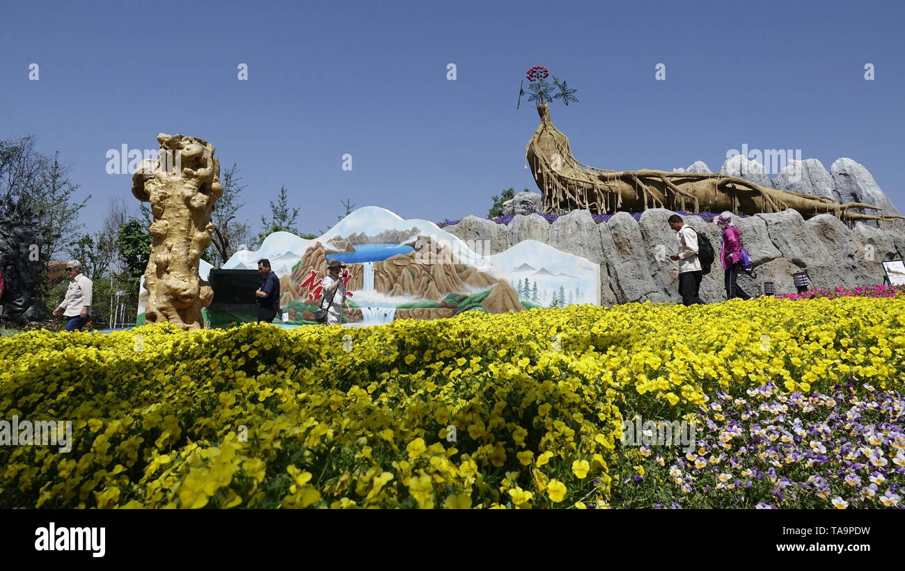 (190523) -- BEIJING, May 23, 2019 (Xinhua) -- Tourists visit the Jilin Garden at the Beijing International Horticultural Exhibition in Yanqing District of Beijing, capital of China, May 23, 2019. The expo kicked off its 'Jilin Day' event on Thursday. Activities will be held to demonstrate the province's geographic features and folk customs. (Xinhua/Li Xin) Stock Photohttps://www.alamy.com/image-license-details/?v=1https://www.alamy.com/190523-beijing-may-23-2019-xinhua-tourists-visit-the-jilin-garden-at-the-beijing-international-horticultural-exhibition-in-yanqing-district-of-beijing-capital-of-china-may-23-2019-the-expo-kicked-off-its-jilin-day-event-on-thursday-activities-will-be-held-to-demonstrate-the-provinces-geographic-features-and-folk-customs-xinhuali-xin-image247306917.html
RMTA9PDW–(190523) -- BEIJING, May 23, 2019 (Xinhua) -- Tourists visit the Jilin Garden at the Beijing International Horticultural Exhibition in Yanqing District of Beijing, capital of China, May 23, 2019. The expo kicked off its 'Jilin Day' event on Thursday. Activities will be held to demonstrate the province's geographic features and folk customs. (Xinhua/Li Xin)
 Waiting for dinner Stock Photohttps://www.alamy.com/image-license-details/?v=1https://www.alamy.com/stock-photo-waiting-for-dinner-130653880.html
RFHGFPA0–Waiting for dinner
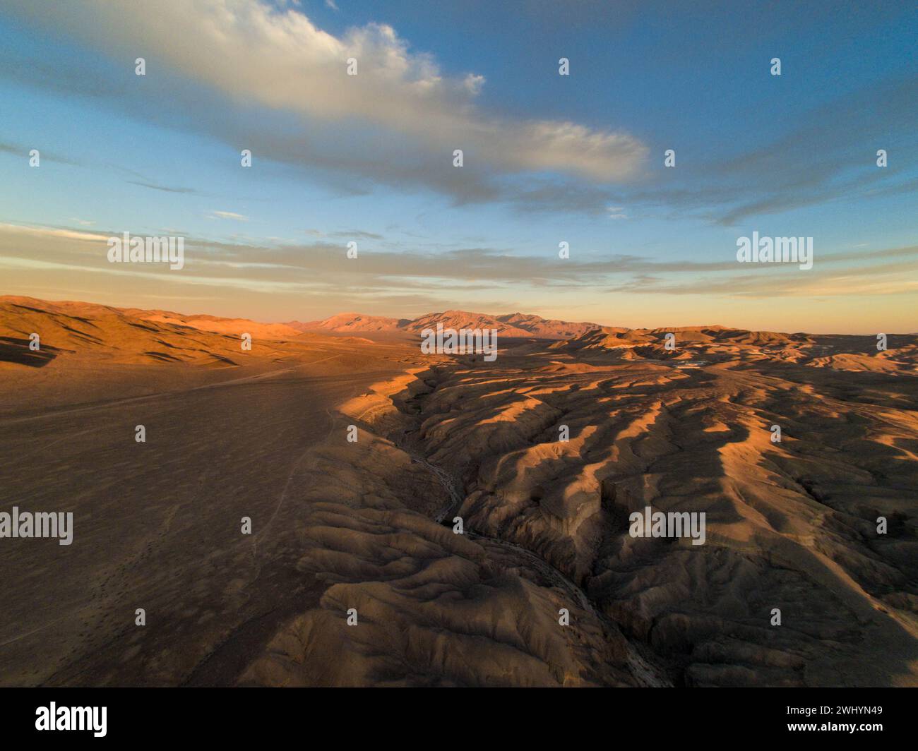 Drone Image, Tecopa, California, Watersheds, Inyo County, Aerial View, Landscape, Scenic, Topography Stock Photohttps://www.alamy.com/image-license-details/?v=1https://www.alamy.com/drone-image-tecopa-california-watersheds-inyo-county-aerial-view-landscape-scenic-topography-image596210953.html
RF2WHYN49–Drone Image, Tecopa, California, Watersheds, Inyo County, Aerial View, Landscape, Scenic, Topography
 Shimousa Plateau, Tako Town, Katori District, Chiba Prefecture, Japan Stock Photohttps://www.alamy.com/image-license-details/?v=1https://www.alamy.com/stock-image-shimousa-plateau-tako-town-katori-district-chiba-prefecture-japan-169206411.html
RMKR80E3–Shimousa Plateau, Tako Town, Katori District, Chiba Prefecture, Japan
 Stock Photohttps://www.alamy.com/image-license-details/?v=1https://www.alamy.com/stock-photo--148030490.html
RFJGRAB6–
 The Lions or Twin Sisters mountain peaks in the North Shore Mountains as seen from Vancouver, BC, Canada Stock Photohttps://www.alamy.com/image-license-details/?v=1https://www.alamy.com/the-lions-or-twin-sisters-mountain-peaks-in-the-north-shore-mountains-as-seen-from-vancouver-bc-canada-image227505924.html
RFR63P3G–The Lions or Twin Sisters mountain peaks in the North Shore Mountains as seen from Vancouver, BC, Canada
 The expansive desert landscape of Los Monegros in Aragon, Spain, captures the beauty of nature from above on a sunny day. Stock Photohttps://www.alamy.com/image-license-details/?v=1https://www.alamy.com/the-expansive-desert-landscape-of-los-monegros-in-aragon-spain-captures-the-beauty-of-nature-from-above-on-a-sunny-day-image625304420.html
RM2Y9924M–The expansive desert landscape of Los Monegros in Aragon, Spain, captures the beauty of nature from above on a sunny day.
 Little boy playing among the exposed earth in badlands Stock Photohttps://www.alamy.com/image-license-details/?v=1https://www.alamy.com/stock-photo-little-boy-playing-among-the-exposed-earth-in-badlands-29547030.html
RMBM1YF2–Little boy playing among the exposed earth in badlands
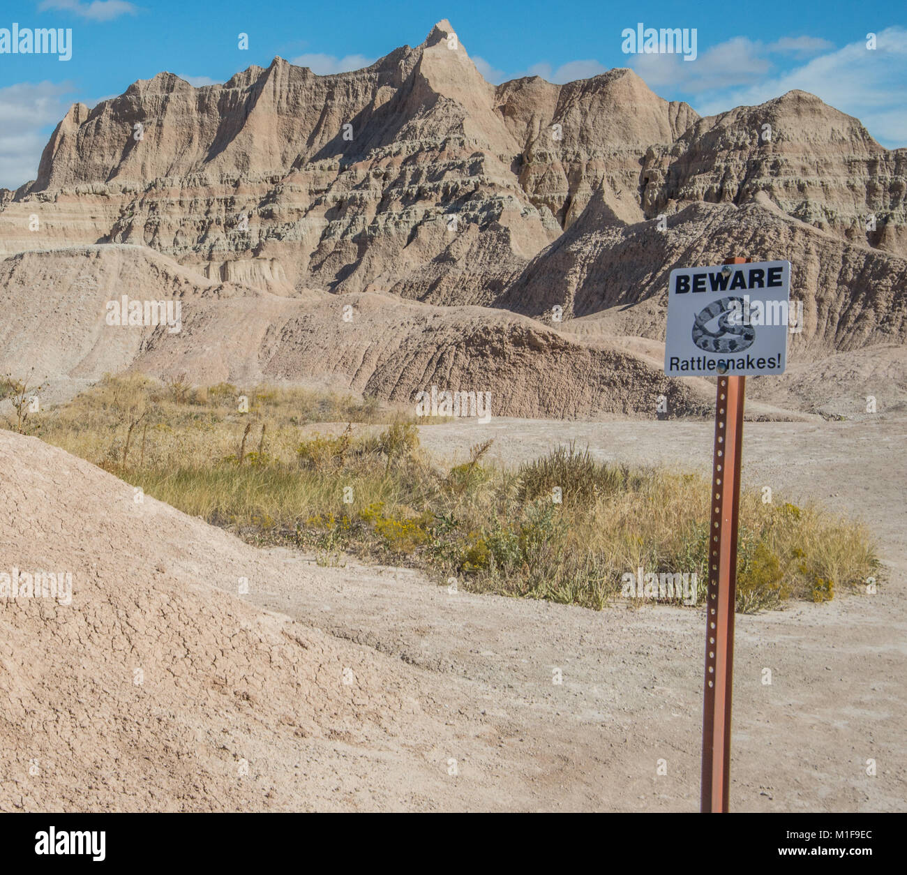 Geographic features in Badlands National Park Stock Photohttps://www.alamy.com/image-license-details/?v=1https://www.alamy.com/stock-photo-geographic-features-in-badlands-national-park-173055076.html
RFM1F9EC–Geographic features in Badlands National Park
 Guest from the Lindblad Expedition ship National Geographic Explorer photographing soda straw ice in the Svalbard Archipelago, Norway, Arctic, Europe Stock Photohttps://www.alamy.com/image-license-details/?v=1https://www.alamy.com/guest-from-the-lindblad-expedition-ship-national-geographic-explorer-photographing-soda-straw-ice-in-the-svalbard-archipelago-norway-arctic-europe-image628113360.html
RF2YDW100–Guest from the Lindblad Expedition ship National Geographic Explorer photographing soda straw ice in the Svalbard Archipelago, Norway, Arctic, Europe
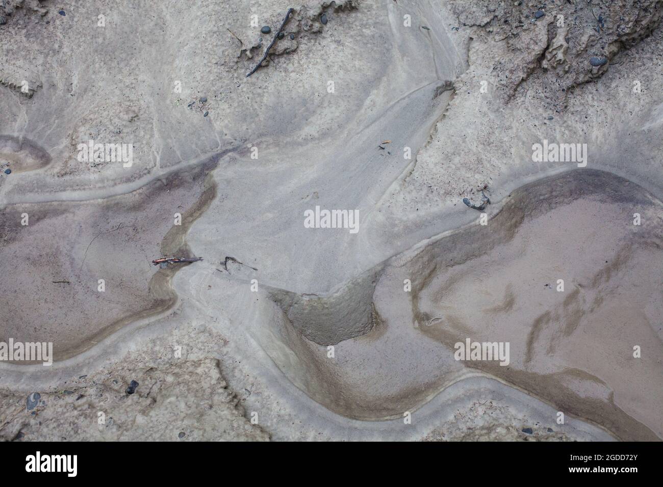 Micro-scale geographical features in silt after a river flood. The landscape looks like satellite images, with canyons; river valleys; deltas; gorges. Stock Photohttps://www.alamy.com/image-license-details/?v=1https://www.alamy.com/micro-scale-geographical-features-in-silt-after-a-river-flood-the-landscape-looks-like-satellite-images-with-canyons-river-valleys-deltas-gorges-image438540675.html
RF2GDD72Y–Micro-scale geographical features in silt after a river flood. The landscape looks like satellite images, with canyons; river valleys; deltas; gorges.
 An 18th century antique map print of English county Devon or Devonshire England UK highlights towns, roads, and geographic features of the region, The map features finer details like rivers, landmarks, and a compass rose. Stock Photohttps://www.alamy.com/image-license-details/?v=1https://www.alamy.com/an-18th-century-antique-map-print-of-english-county-devon-or-devonshire-england-uk-highlights-towns-roads-and-geographic-features-of-the-region-the-map-features-finer-details-like-rivers-landmarks-and-a-compass-rose-image618918659.html
RM2XXX51R–An 18th century antique map print of English county Devon or Devonshire England UK highlights towns, roads, and geographic features of the region, The map features finer details like rivers, landmarks, and a compass rose.
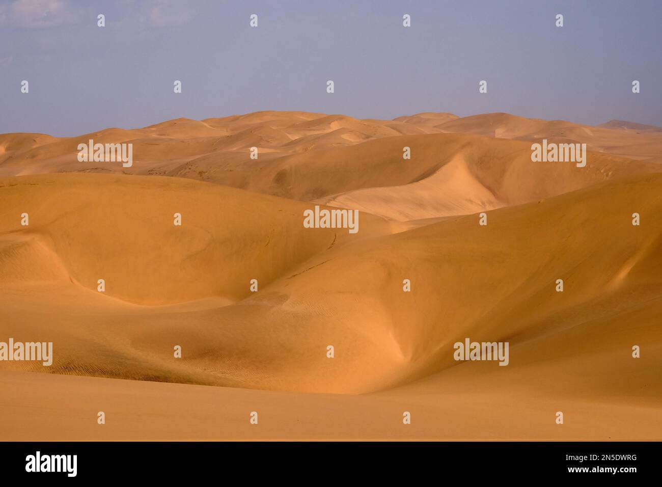 Dunes of the Namib Desert near the coast south of Walvis Bay, Namibia. Stock Photohttps://www.alamy.com/image-license-details/?v=1https://www.alamy.com/dunes-of-the-namib-desert-near-the-coast-south-of-walvis-bay-namibia-image519689956.html
RF2N5DWRG–Dunes of the Namib Desert near the coast south of Walvis Bay, Namibia.
 Architecture during twilight at the entrance to the Royal British Columbia Museum / National Geographic Theatre at the Inner Har Stock Photohttps://www.alamy.com/image-license-details/?v=1https://www.alamy.com/stock-photo-architecture-during-twilight-at-the-entrance-to-the-royal-british-84531361.html
RMEWEMH5–Architecture during twilight at the entrance to the Royal British Columbia Museum / National Geographic Theatre at the Inner Har
 abstract green bay blue sea paint style wallpaper background vector Stock Vectorhttps://www.alamy.com/image-license-details/?v=1https://www.alamy.com/abstract-green-bay-blue-sea-paint-style-wallpaper-background-vector-image563520902.html
RF2RMPGJE–abstract green bay blue sea paint style wallpaper background vector
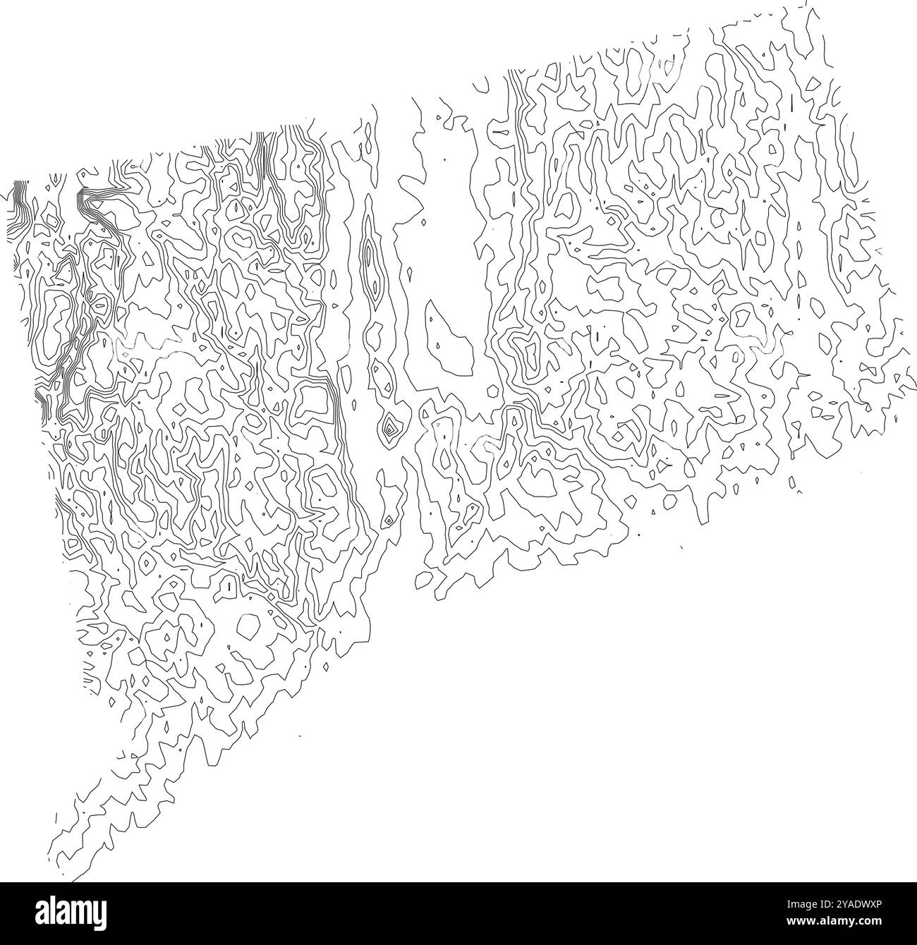 Detailed contour map of Connecticut state, highlighting its varied topography from coastal plains to rolling hills Stock Vectorhttps://www.alamy.com/image-license-details/?v=1https://www.alamy.com/detailed-contour-map-of-connecticut-state-highlighting-its-varied-topography-from-coastal-plains-to-rolling-hills-image626025534.html
RF2YADWXP–Detailed contour map of Connecticut state, highlighting its varied topography from coastal plains to rolling hills
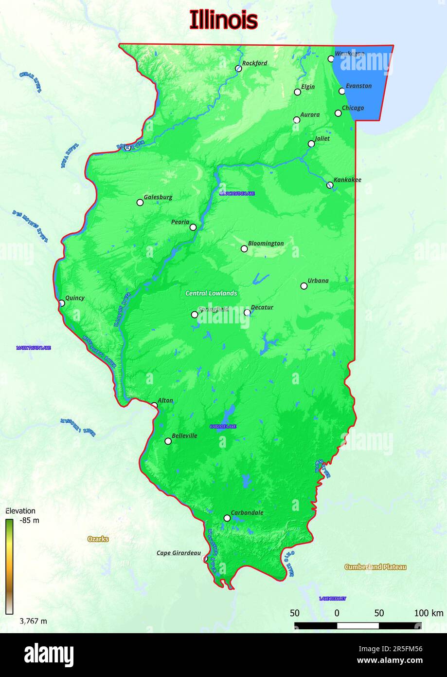 Physical map of Illinois shows landform features such as mountains, hills, plains, bridges, rivers, lakes Stock Photohttps://www.alamy.com/image-license-details/?v=1https://www.alamy.com/physical-map-of-illinois-shows-landform-features-such-as-mountains-hills-plains-bridges-rivers-lakes-image554150162.html
RF2R5FM56–Physical map of Illinois shows landform features such as mountains, hills, plains, bridges, rivers, lakes
 Olympic National park in Washington where Lake Quinalt is one of the geographic features Stock Photohttps://www.alamy.com/image-license-details/?v=1https://www.alamy.com/olympic-national-park-in-washington-where-lake-quinalt-is-one-of-the-image1820274.html
RMAYC673–Olympic National park in Washington where Lake Quinalt is one of the geographic features
 Seamless topographic map contour background. Topo map with elevation. Contour map vector. Geographic World Topography seamless texture vector illustration . Stock Vectorhttps://www.alamy.com/image-license-details/?v=1https://www.alamy.com/seamless-topographic-map-contour-background-topo-map-with-elevation-contour-map-vector-geographic-world-topography-seamless-texture-vector-illustration-image213067002.html
RFPAJ13P–Seamless topographic map contour background. Topo map with elevation. Contour map vector. Geographic World Topography seamless texture vector illustration .
 (190523) -- BEIJING, May 23, 2019 (Xinhua) -- A woman shows lucid ganoderma from Yanbian Korean Autonomous Prefecture of northeast China's Jilin at the Beijing International Horticultural Exhibition in Yanqing District of Beijing, capital of China, May 23, 2019. The expo kicked off its 'Jilin Day' event on Thursday. Activities will be held to demonstrate the province's geographic features and folk customs. (Xinhua/Li Xin) Stock Photohttps://www.alamy.com/image-license-details/?v=1https://www.alamy.com/190523-beijing-may-23-2019-xinhua-a-woman-shows-lucid-ganoderma-from-yanbian-korean-autonomous-prefecture-of-northeast-chinas-jilin-at-the-beijing-international-horticultural-exhibition-in-yanqing-district-of-beijing-capital-of-china-may-23-2019-the-expo-kicked-off-its-jilin-day-event-on-thursday-activities-will-be-held-to-demonstrate-the-provinces-geographic-features-and-folk-customs-xinhuali-xin-image247306936.html
RMTA9PEG–(190523) -- BEIJING, May 23, 2019 (Xinhua) -- A woman shows lucid ganoderma from Yanbian Korean Autonomous Prefecture of northeast China's Jilin at the Beijing International Horticultural Exhibition in Yanqing District of Beijing, capital of China, May 23, 2019. The expo kicked off its 'Jilin Day' event on Thursday. Activities will be held to demonstrate the province's geographic features and folk customs. (Xinhua/Li Xin)
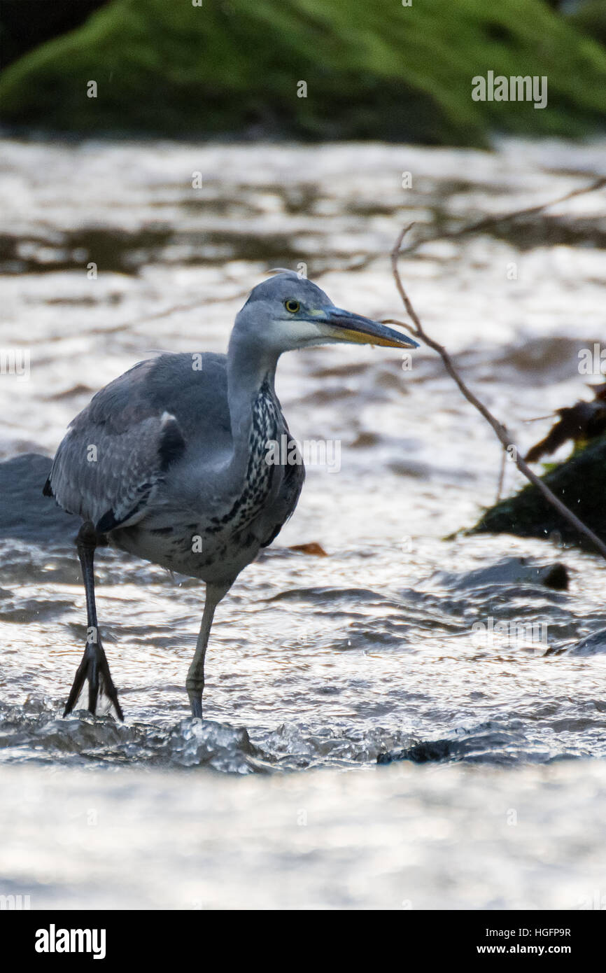 Waiting for dinner Stock Photohttps://www.alamy.com/image-license-details/?v=1https://www.alamy.com/stock-photo-waiting-for-dinner-130653875.html
RFHGFP9R–Waiting for dinner
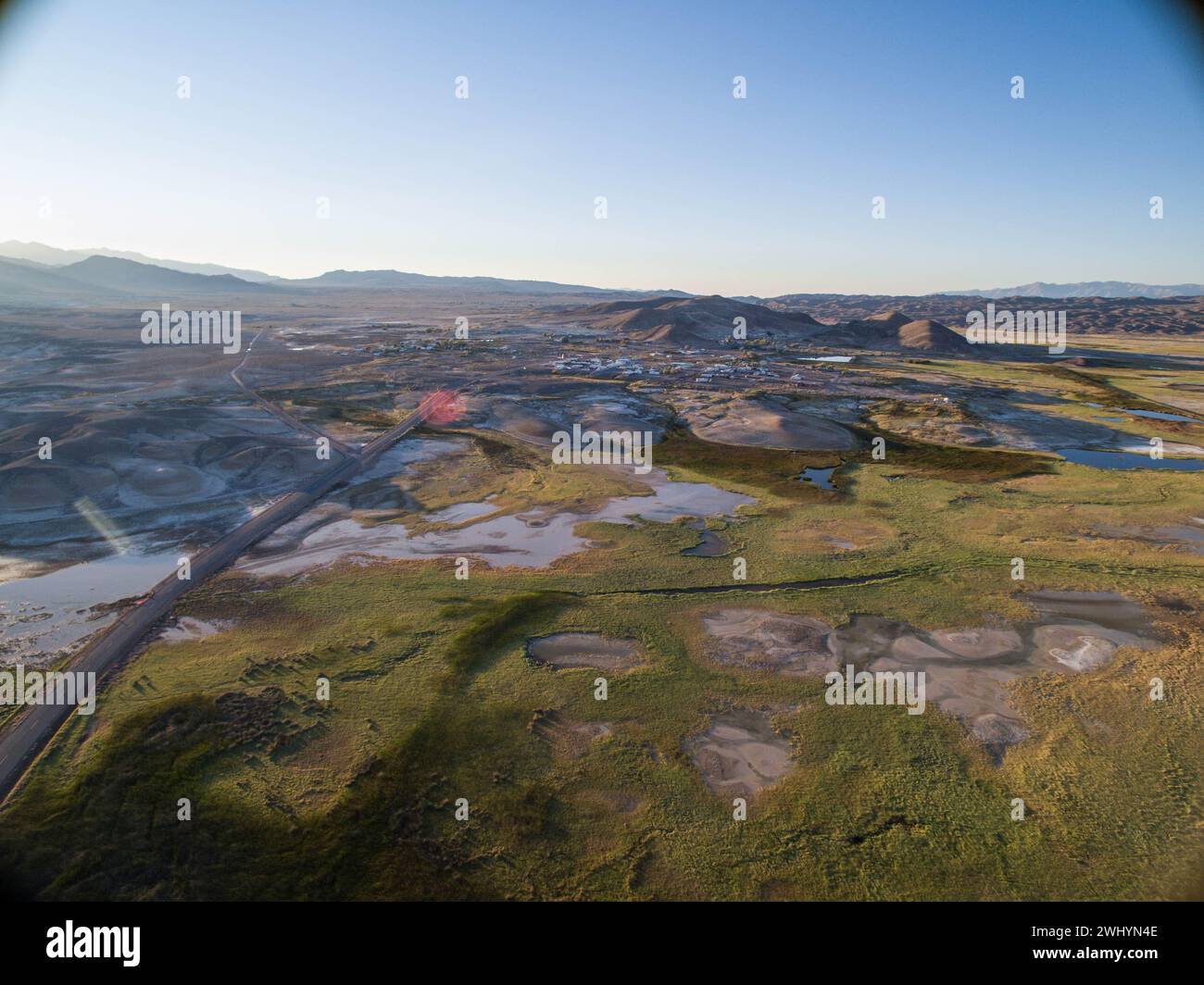 Drone Image, Tecopa, California, Watersheds, Inyo County, Aerial View, Landscape, Scenic, Topography Stock Photohttps://www.alamy.com/image-license-details/?v=1https://www.alamy.com/drone-image-tecopa-california-watersheds-inyo-county-aerial-view-landscape-scenic-topography-image596210958.html
RF2WHYN4E–Drone Image, Tecopa, California, Watersheds, Inyo County, Aerial View, Landscape, Scenic, Topography
 Shimousa Plateau, Tako Town, Katori District, Chiba Prefecture, Japan Stock Photohttps://www.alamy.com/image-license-details/?v=1https://www.alamy.com/stock-image-shimousa-plateau-tako-town-katori-district-chiba-prefecture-japan-169206395.html
RMKR80DF–Shimousa Plateau, Tako Town, Katori District, Chiba Prefecture, Japan
 Stock Photohttps://www.alamy.com/image-license-details/?v=1https://www.alamy.com/stock-photo--148030488.html
RFJGRAB4–
 Beautiful green valley with distance mountains and heavy cloud coverage. Stock Photohttps://www.alamy.com/image-license-details/?v=1https://www.alamy.com/beautiful-green-valley-with-distance-mountains-and-heavy-cloud-coverage-image234685626.html
RFRHPRWE–Beautiful green valley with distance mountains and heavy cloud coverage.
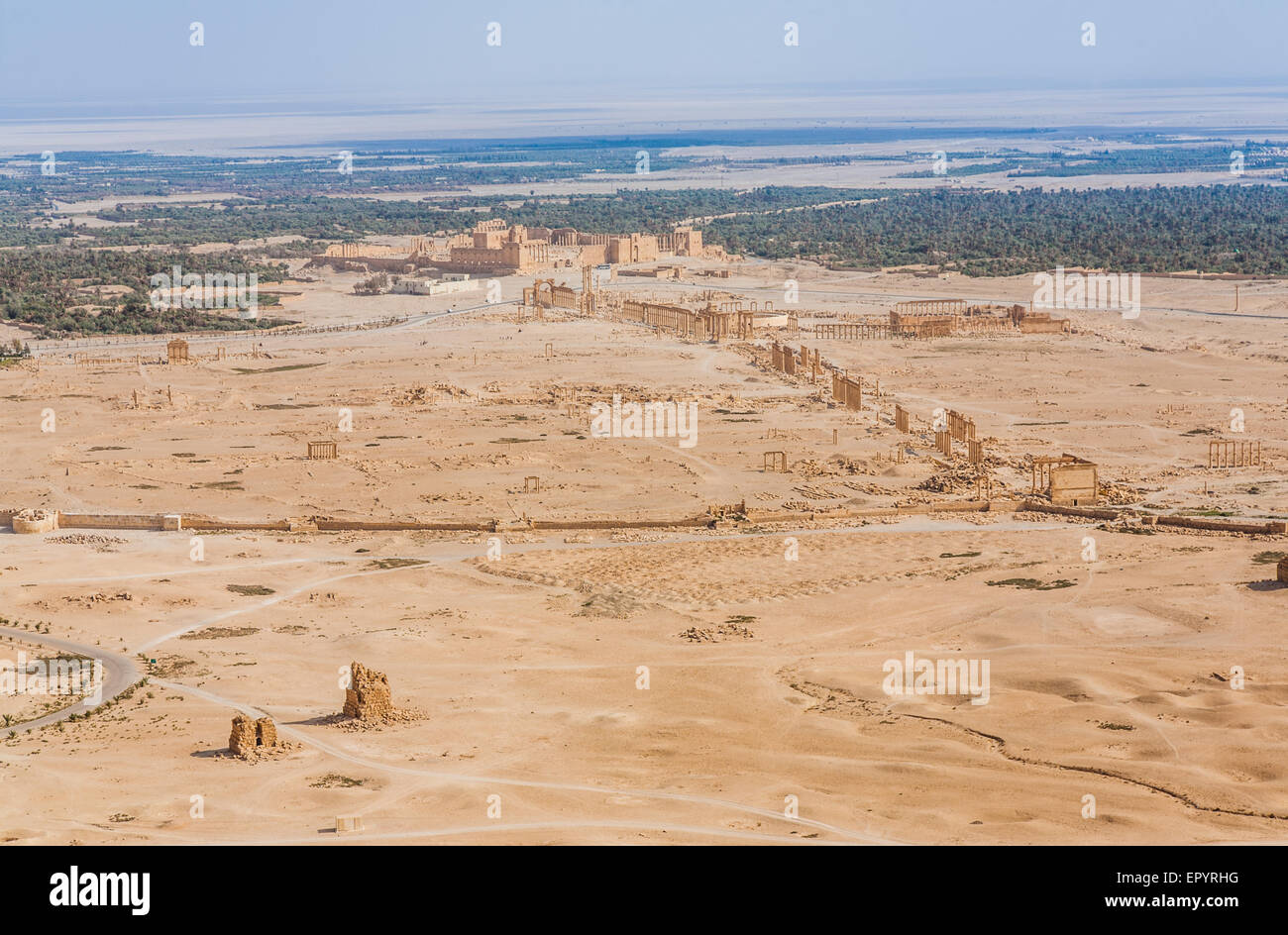 Palmyra as seen from Qal'at Ibn Maan Stock Photohttps://www.alamy.com/image-license-details/?v=1https://www.alamy.com/stock-photo-palmyra-as-seen-from-qalat-ibn-maan-82975132.html
RMEPYRHG–Palmyra as seen from Qal'at Ibn Maan
 Johnson City, Tennessee, United States 2022-04-20 A flowing stream. Stock Photohttps://www.alamy.com/image-license-details/?v=1https://www.alamy.com/johnson-city-tennessee-united-states-2022-04-20-a-flowing-stream-image499471022.html
RF2M0GTAP–Johnson City, Tennessee, United States 2022-04-20 A flowing stream.
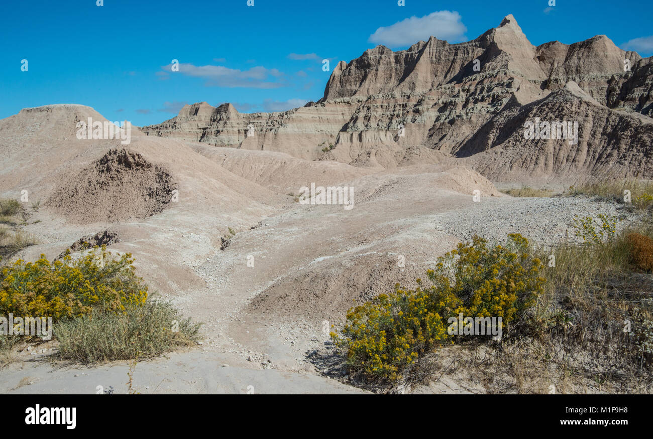 Geographic features in Badlands National Park Stock Photohttps://www.alamy.com/image-license-details/?v=1https://www.alamy.com/stock-photo-geographic-features-in-badlands-national-park-173055156.html
RFM1F9H8–Geographic features in Badlands National Park
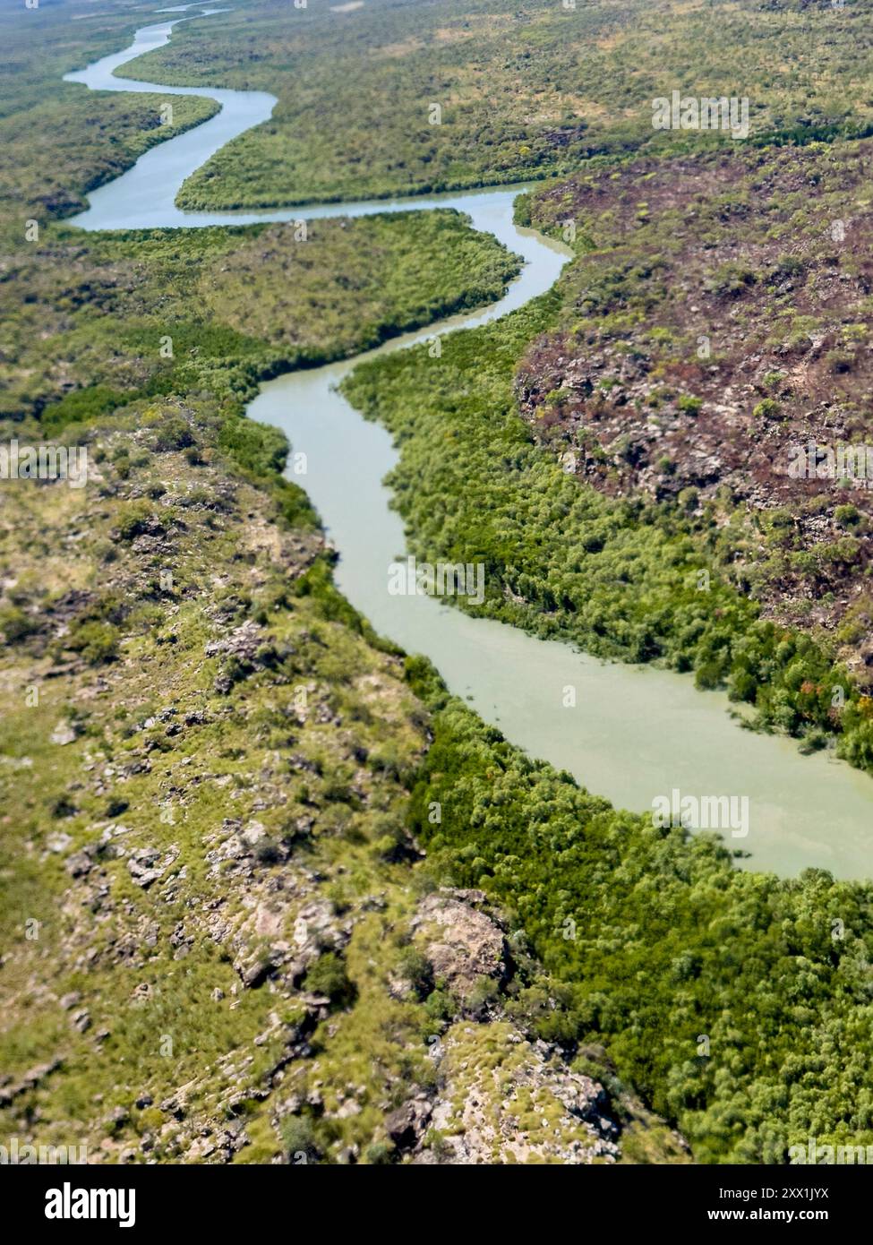 A view of the Mitchell River meandering towards Swift Bay as seen from a commercial helicopter, Kimberley, Western Australia, Australia, Pacific Stock Photohttps://www.alamy.com/image-license-details/?v=1https://www.alamy.com/a-view-of-the-mitchell-river-meandering-towards-swift-bay-as-seen-from-a-commercial-helicopter-kimberley-western-australia-australia-pacific-image618380782.html
RF2XX1JYX–A view of the Mitchell River meandering towards Swift Bay as seen from a commercial helicopter, Kimberley, Western Australia, Australia, Pacific
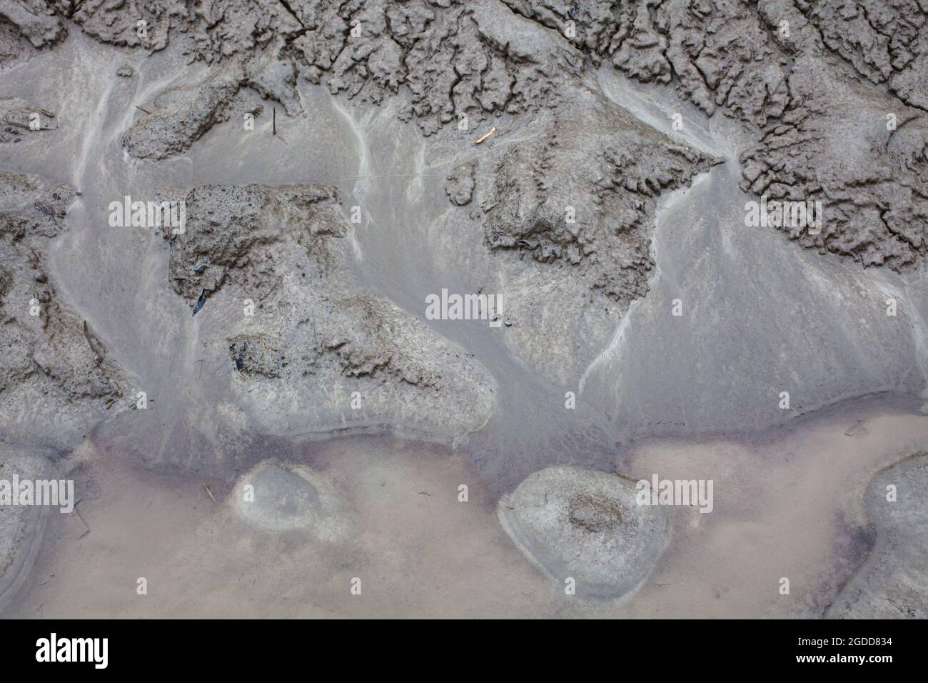 Micro-scale geographical features in silt after a river flood. The landscape looks like satellite images, with canyons; river valleys; deltas; gorges. Stock Photohttps://www.alamy.com/image-license-details/?v=1https://www.alamy.com/micro-scale-geographical-features-in-silt-after-a-river-flood-the-landscape-looks-like-satellite-images-with-canyons-river-valleys-deltas-gorges-image438541464.html
RF2GDD834–Micro-scale geographical features in silt after a river flood. The landscape looks like satellite images, with canyons; river valleys; deltas; gorges.
 drone view of rocky shore, coastal features concept Stock Photohttps://www.alamy.com/image-license-details/?v=1https://www.alamy.com/drone-view-of-rocky-shore-coastal-features-concept-image604730669.html
RF2X3RT3W–drone view of rocky shore, coastal features concept
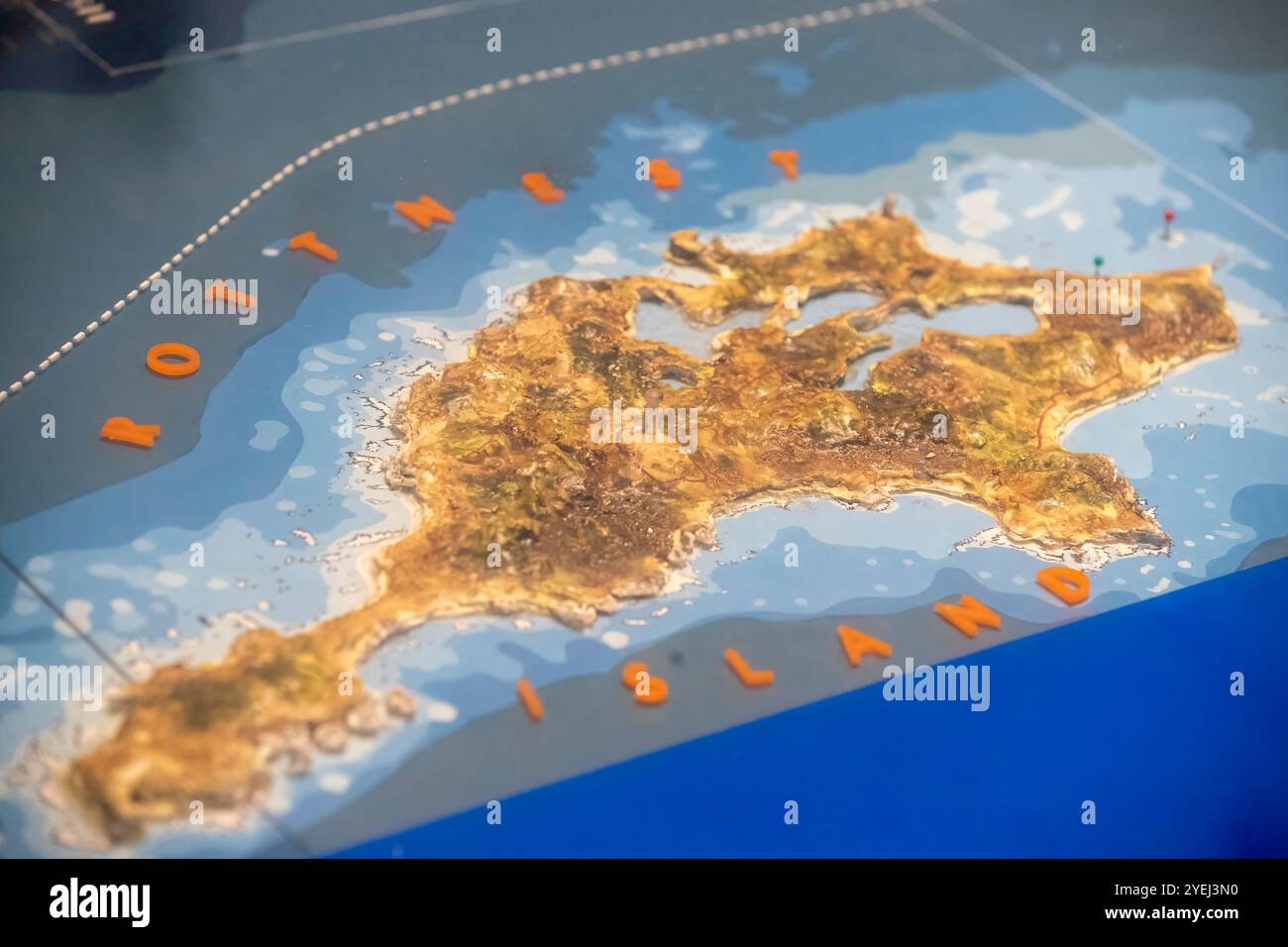 A 3D topographic map model of Rottnest Island, showing detailed elevation and geographic features with vibrant colors. Stock Photohttps://www.alamy.com/image-license-details/?v=1https://www.alamy.com/a-3d-topographic-map-model-of-rottnest-island-showing-detailed-elevation-and-geographic-features-with-vibrant-colors-image628576508.html
RF2YEJ3N0–A 3D topographic map model of Rottnest Island, showing detailed elevation and geographic features with vibrant colors.
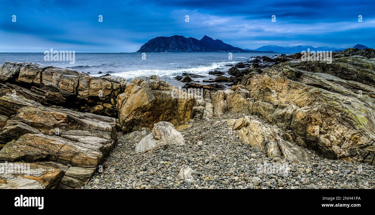 The rugged shoreline features large rocks and pebbles leading to a tranquil sea with distant mountains under a cloudy sky. Stock Photohttps://www.alamy.com/image-license-details/?v=1https://www.alamy.com/the-rugged-shoreline-features-large-rocks-and-pebbles-leading-to-a-tranquil-sea-with-distant-mountains-under-a-cloudy-sky-image526849410.html
RF2NH41PA–The rugged shoreline features large rocks and pebbles leading to a tranquil sea with distant mountains under a cloudy sky.
 A breathtaking view showcases a lush green valley surrounded by majestic mountains. The landscape is bathed in warm afternoon light, highlighting the Stock Photohttps://www.alamy.com/image-license-details/?v=1https://www.alamy.com/a-breathtaking-view-showcases-a-lush-green-valley-surrounded-by-majestic-mountains-the-landscape-is-bathed-in-warm-afternoon-light-highlighting-the-image618675415.html
RF2XXF2PF–A breathtaking view showcases a lush green valley surrounded by majestic mountains. The landscape is bathed in warm afternoon light, highlighting the
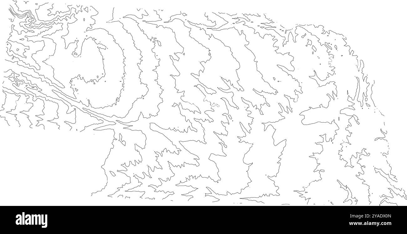 Detailed contour map of Nebraska state, showcasing its varied topography from plains to rolling hills Stock Vectorhttps://www.alamy.com/image-license-details/?v=1https://www.alamy.com/detailed-contour-map-of-nebraska-state-showcasing-its-varied-topography-from-plains-to-rolling-hills-image626025589.html
RF2YADX0N–Detailed contour map of Nebraska state, showcasing its varied topography from plains to rolling hills
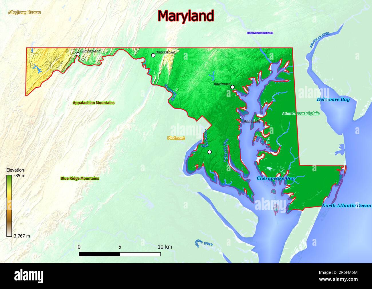 Physical map of Maryland shows landform features such as mountains, hills, plains, bridges, rivers, lakes Stock Photohttps://www.alamy.com/image-license-details/?v=1https://www.alamy.com/physical-map-of-maryland-shows-landform-features-such-as-mountains-hills-plains-bridges-rivers-lakes-image554150176.html
RF2R5FM5M–Physical map of Maryland shows landform features such as mountains, hills, plains, bridges, rivers, lakes
 Hilly desert landscape in warm light with deep shadows and clear view of the geographical features, aerial view, Dehesas de Guadix, Gorafe Desert Stock Photohttps://www.alamy.com/image-license-details/?v=1https://www.alamy.com/hilly-desert-landscape-in-warm-light-with-deep-shadows-and-clear-view-of-the-geographical-features-aerial-view-dehesas-de-guadix-gorafe-desert-image606592294.html
RF2X6TJJE–Hilly desert landscape in warm light with deep shadows and clear view of the geographical features, aerial view, Dehesas de Guadix, Gorafe Desert
 Seamless topographic map contour background. Topo map with elevation. Contour map vector. Geographic World Topography seamless texture vector illustration . Stock Vectorhttps://www.alamy.com/image-license-details/?v=1https://www.alamy.com/seamless-topographic-map-contour-background-topo-map-with-elevation-contour-map-vector-geographic-world-topography-seamless-texture-vector-illustration-image213066924.html
RFPAJ110–Seamless topographic map contour background. Topo map with elevation. Contour map vector. Geographic World Topography seamless texture vector illustration .
 (150423) -- MAPUTO, April 23, 2015 (Xinhua) -- Photo taken on April 21, 2015 shows African elephants in the Gorongosa National Park, central Mozambique. The Gorongosa National Park is one of Mozambique's largest and well-known national park, with an area of over 4,000 square km of valley floor and parts of surrounding plateaus. The unique geographic features of Gorongosa at one time supported some of the densest wildlife populations in all of Africa, but large mammal numbers were reduced by as much as 95 percent and ecosystems stressed during Mozambique's long civil conflict at the end of the Stock Photohttps://www.alamy.com/image-license-details/?v=1https://www.alamy.com/stock-photo-150423-maputo-april-23-2015-xinhua-photo-taken-on-april-21-2015-shows-81675184.html
RMEMTHET–(150423) -- MAPUTO, April 23, 2015 (Xinhua) -- Photo taken on April 21, 2015 shows African elephants in the Gorongosa National Park, central Mozambique. The Gorongosa National Park is one of Mozambique's largest and well-known national park, with an area of over 4,000 square km of valley floor and parts of surrounding plateaus. The unique geographic features of Gorongosa at one time supported some of the densest wildlife populations in all of Africa, but large mammal numbers were reduced by as much as 95 percent and ecosystems stressed during Mozambique's long civil conflict at the end of the
 Waiting for dinner Stock Photohttps://www.alamy.com/image-license-details/?v=1https://www.alamy.com/stock-photo-waiting-for-dinner-130653883.html
RFHGFPA3–Waiting for dinner
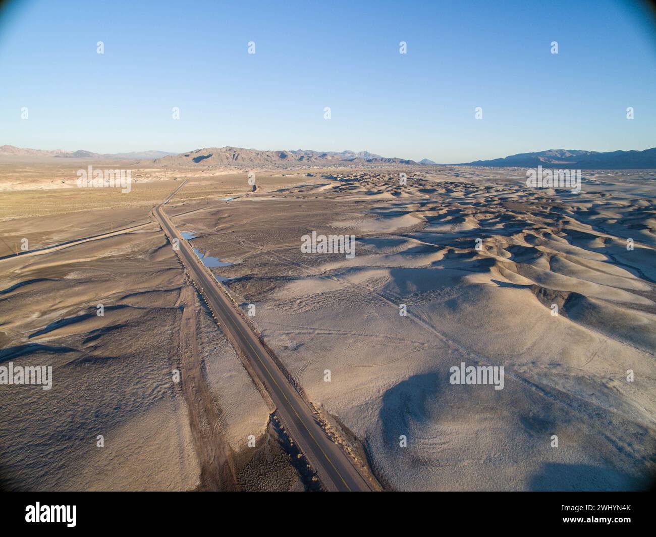 Drone Image, Tecopa, California, Watersheds, Inyo County, Aerial View, Landscape, Scenic, Topography Stock Photohttps://www.alamy.com/image-license-details/?v=1https://www.alamy.com/drone-image-tecopa-california-watersheds-inyo-county-aerial-view-landscape-scenic-topography-image596210963.html
RF2WHYN4K–Drone Image, Tecopa, California, Watersheds, Inyo County, Aerial View, Landscape, Scenic, Topography
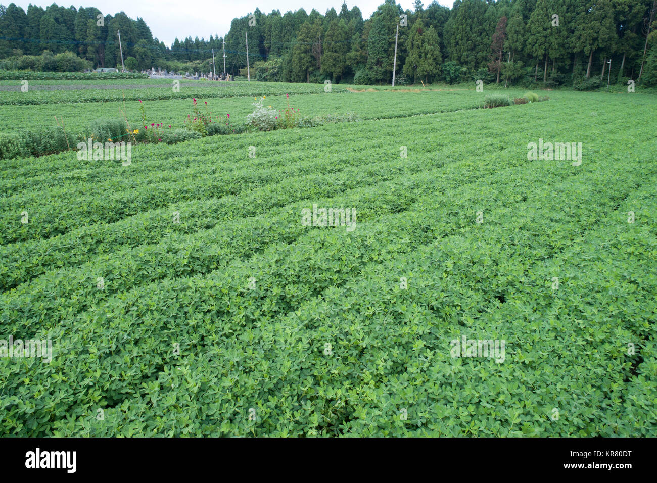 Shimousa Plateau, Tako Town, Katori District, Chiba Prefecture, Japan Stock Photohttps://www.alamy.com/image-license-details/?v=1https://www.alamy.com/stock-image-shimousa-plateau-tako-town-katori-district-chiba-prefecture-japan-169206404.html
RMKR80DT–Shimousa Plateau, Tako Town, Katori District, Chiba Prefecture, Japan
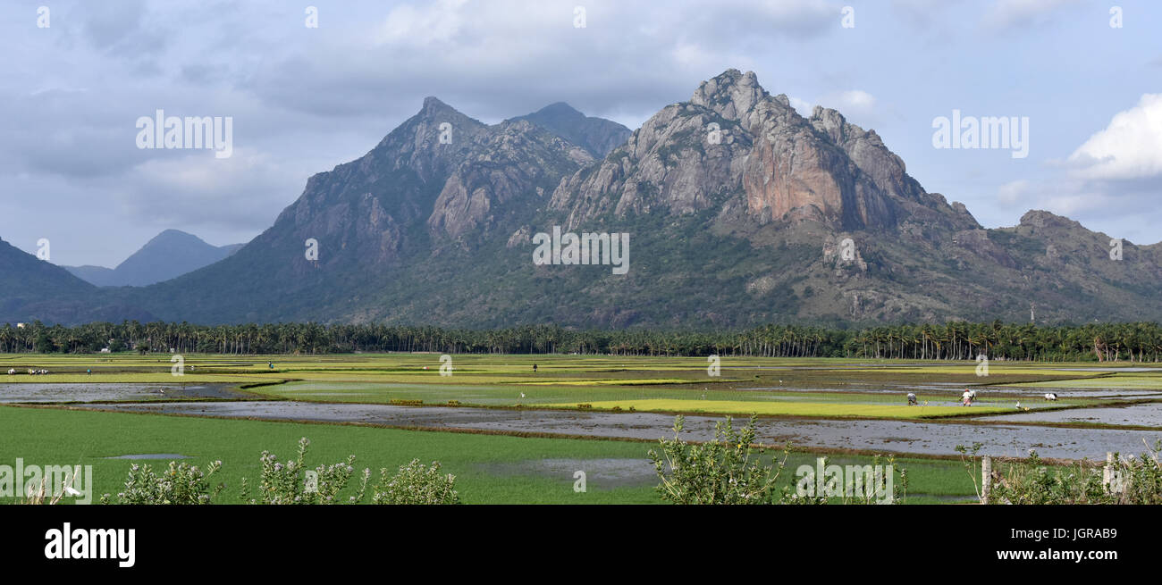 South Indian Landscape Stock Photohttps://www.alamy.com/image-license-details/?v=1https://www.alamy.com/stock-photo-south-indian-landscape-148030493.html
RFJGRAB9–South Indian Landscape

