Kettle falls washington map Stock Photos and Images
(15)See kettle falls washington map stock video clipsQuick filters:
Kettle falls washington map Stock Photos and Images
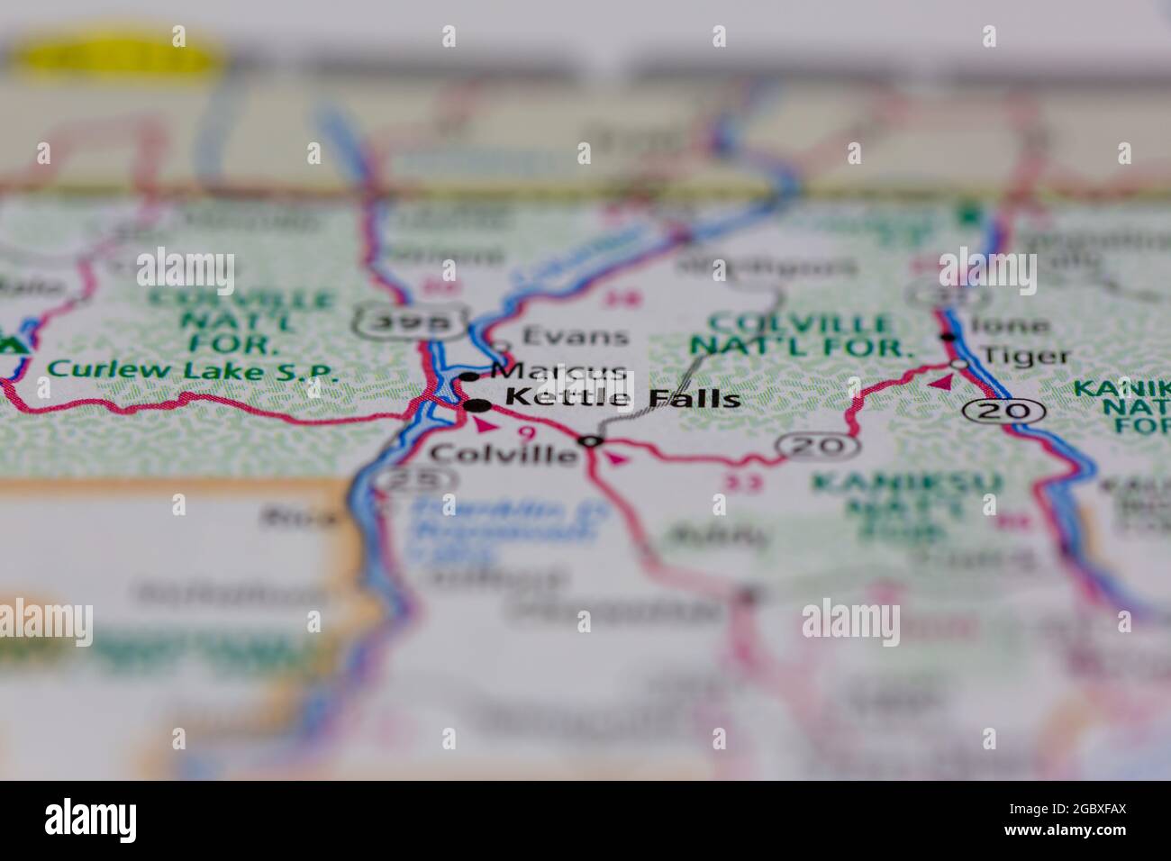 Kettle Falls Washington State USA shown on a road map or Geography map Stock Photohttps://www.alamy.com/image-license-details/?v=1https://www.alamy.com/kettle-falls-washington-state-usa-shown-on-a-road-map-or-geography-map-image437603234.html
RM2GBXFAX–Kettle Falls Washington State USA shown on a road map or Geography map
 Kettle Falls, Stevens County, US, United States, Washington, N 48 36' 38'', S 118 3' 20'', map, Cartascapes Map published in 2024. Explore Cartascapes, a map revealing Earth's diverse landscapes, cultures, and ecosystems. Journey through time and space, discovering the interconnectedness of our planet's past, present, and future. Stock Photohttps://www.alamy.com/image-license-details/?v=1https://www.alamy.com/kettle-falls-stevens-county-us-united-states-washington-n-48-36-38-s-118-3-20-map-cartascapes-map-published-in-2024-explore-cartascapes-a-map-revealing-earths-diverse-landscapes-cultures-and-ecosystems-journey-through-time-and-space-discovering-the-interconnectedness-of-our-planets-past-present-and-future-image621297237.html
RM2Y2PEY1–Kettle Falls, Stevens County, US, United States, Washington, N 48 36' 38'', S 118 3' 20'', map, Cartascapes Map published in 2024. Explore Cartascapes, a map revealing Earth's diverse landscapes, cultures, and ecosystems. Journey through time and space, discovering the interconnectedness of our planet's past, present, and future.
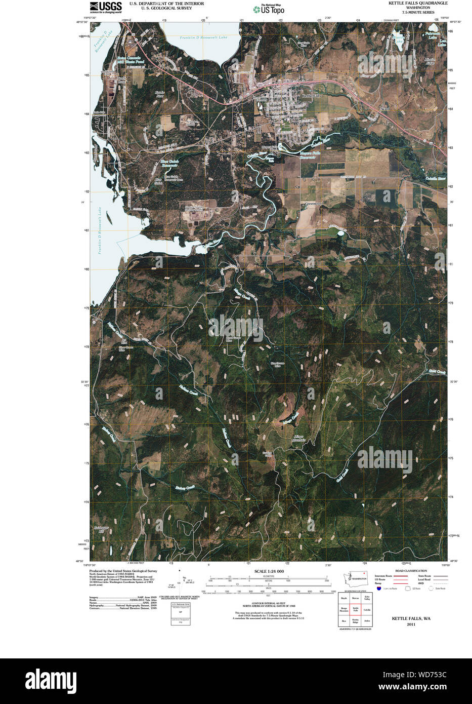 USGS Topo Map Washington State WA Kettle Falls 20110413 TM Restoration Stock Photohttps://www.alamy.com/image-license-details/?v=1https://www.alamy.com/usgs-topo-map-washington-state-wa-kettle-falls-20110413-tm-restoration-image266303728.html
RMWD753C–USGS Topo Map Washington State WA Kettle Falls 20110413 TM Restoration
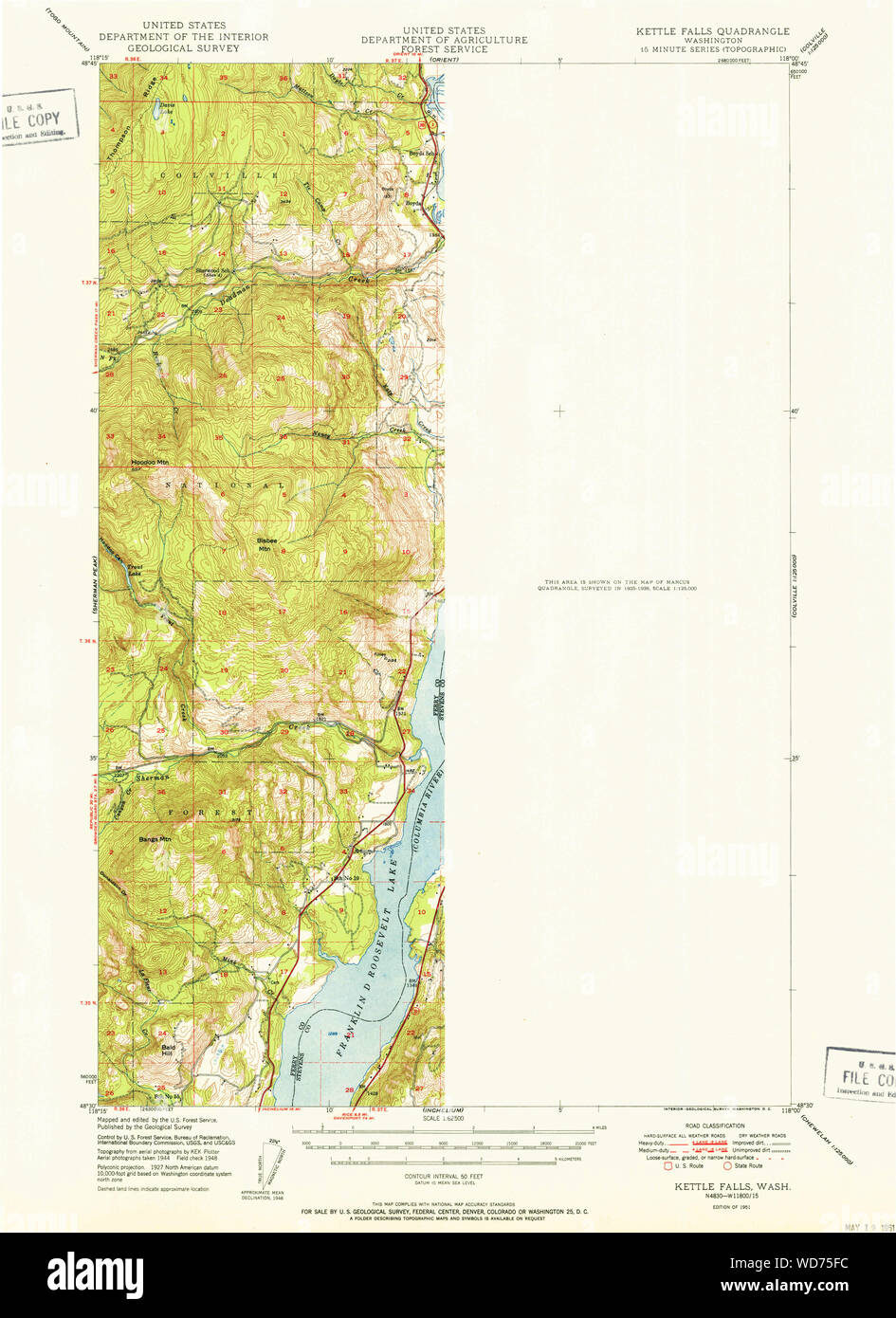 USGS Topo Map Washington State WA Kettle Falls 241763 1951 62500 Restoration Stock Photohttps://www.alamy.com/image-license-details/?v=1https://www.alamy.com/usgs-topo-map-washington-state-wa-kettle-falls-241763-1951-62500-restoration-image266304064.html
RMWD75FC–USGS Topo Map Washington State WA Kettle Falls 241763 1951 62500 Restoration
 Kettle Falls, Stevens County, US, United States, Washington, N 48 36' 38'', S 118 3' 20'', map, Cartascapes Map published in 2024. Explore Cartascapes, a map revealing Earth's diverse landscapes, cultures, and ecosystems. Journey through time and space, discovering the interconnectedness of our planet's past, present, and future. Stock Photohttps://www.alamy.com/image-license-details/?v=1https://www.alamy.com/kettle-falls-stevens-county-us-united-states-washington-n-48-36-38-s-118-3-20-map-cartascapes-map-published-in-2024-explore-cartascapes-a-map-revealing-earths-diverse-landscapes-cultures-and-ecosystems-journey-through-time-and-space-discovering-the-interconnectedness-of-our-planets-past-present-and-future-image620824588.html
RM2Y2102M–Kettle Falls, Stevens County, US, United States, Washington, N 48 36' 38'', S 118 3' 20'', map, Cartascapes Map published in 2024. Explore Cartascapes, a map revealing Earth's diverse landscapes, cultures, and ecosystems. Journey through time and space, discovering the interconnectedness of our planet's past, present, and future.
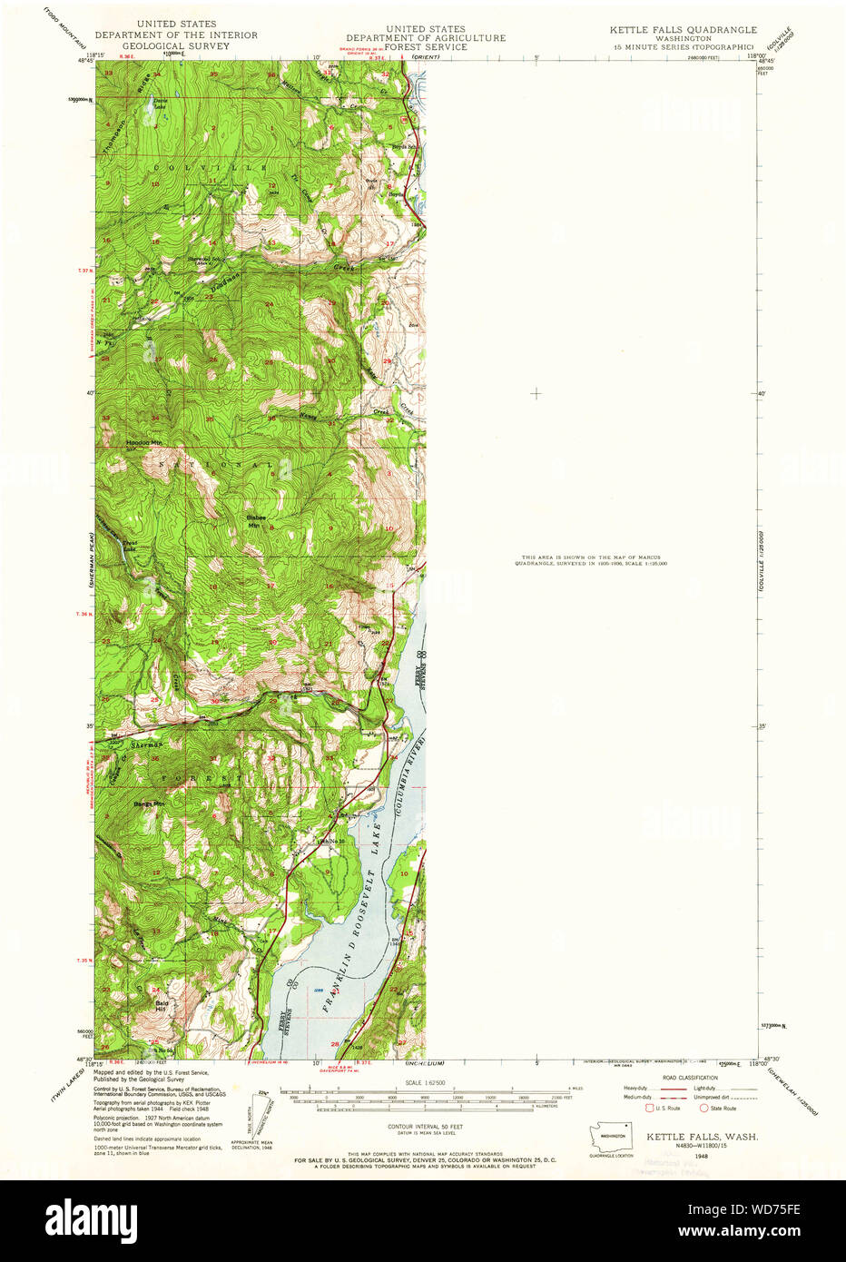 USGS Topo Map Washington State WA Kettle Falls 241762 1948 62500 Restoration Stock Photohttps://www.alamy.com/image-license-details/?v=1https://www.alamy.com/usgs-topo-map-washington-state-wa-kettle-falls-241762-1948-62500-restoration-image266304066.html
RMWD75FE–USGS Topo Map Washington State WA Kettle Falls 241762 1948 62500 Restoration
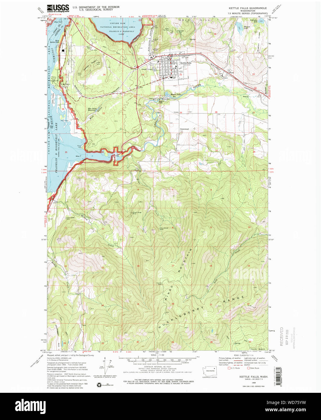 USGS Topo Map Washington State WA Kettle Falls 241764 1969 24000 Restoration Stock Photohttps://www.alamy.com/image-license-details/?v=1https://www.alamy.com/usgs-topo-map-washington-state-wa-kettle-falls-241764-1969-24000-restoration-image266304413.html
RMWD75YW–USGS Topo Map Washington State WA Kettle Falls 241764 1969 24000 Restoration
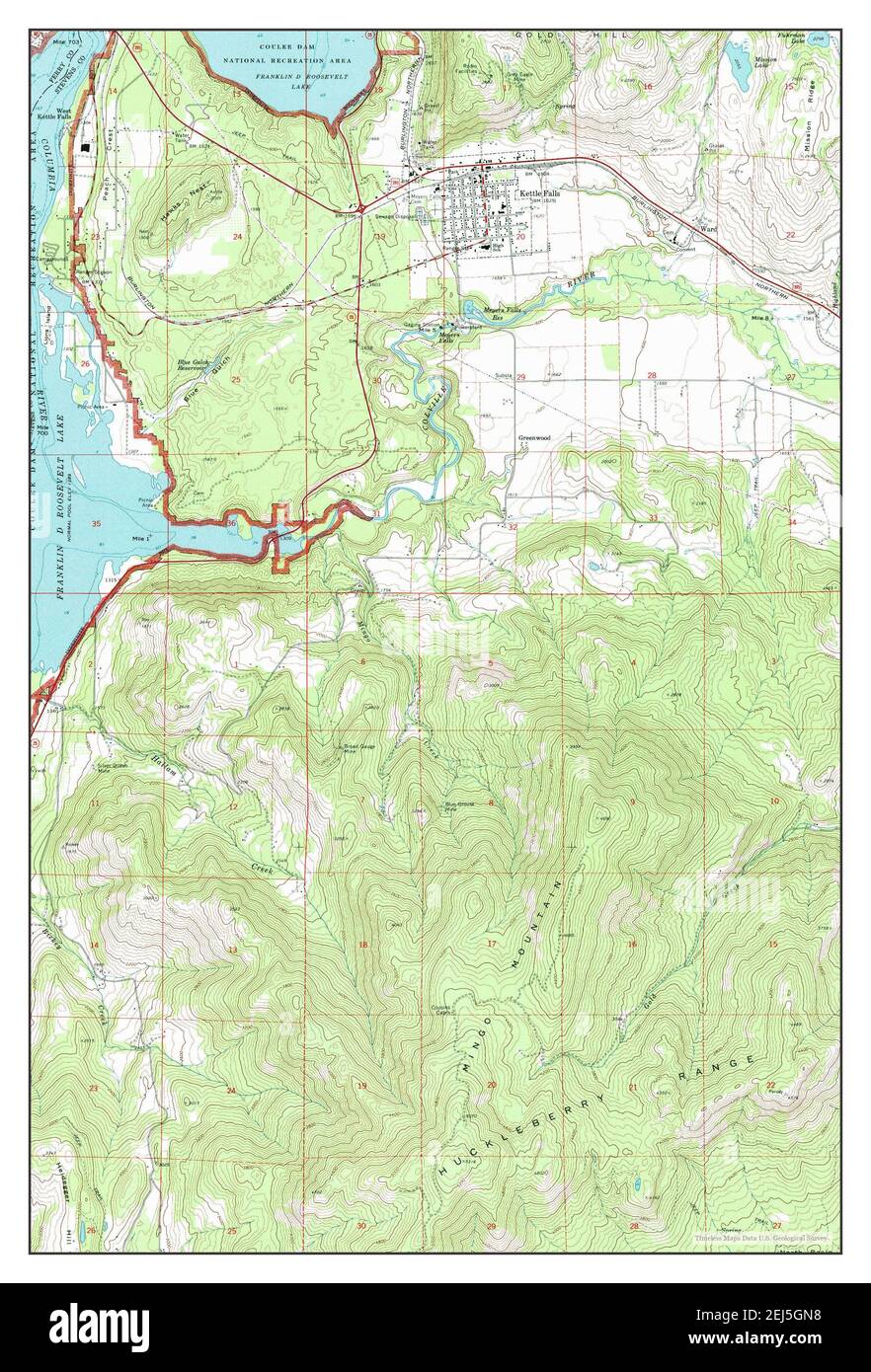 Kettle Falls, Washington, map 1969, 1:24000, United States of America by Timeless Maps, data U.S. Geological Survey Stock Photohttps://www.alamy.com/image-license-details/?v=1https://www.alamy.com/kettle-falls-washington-map-1969-124000-united-states-of-america-by-timeless-maps-data-us-geological-survey-image407025172.html
RM2EJ5GN8–Kettle Falls, Washington, map 1969, 1:24000, United States of America by Timeless Maps, data U.S. Geological Survey
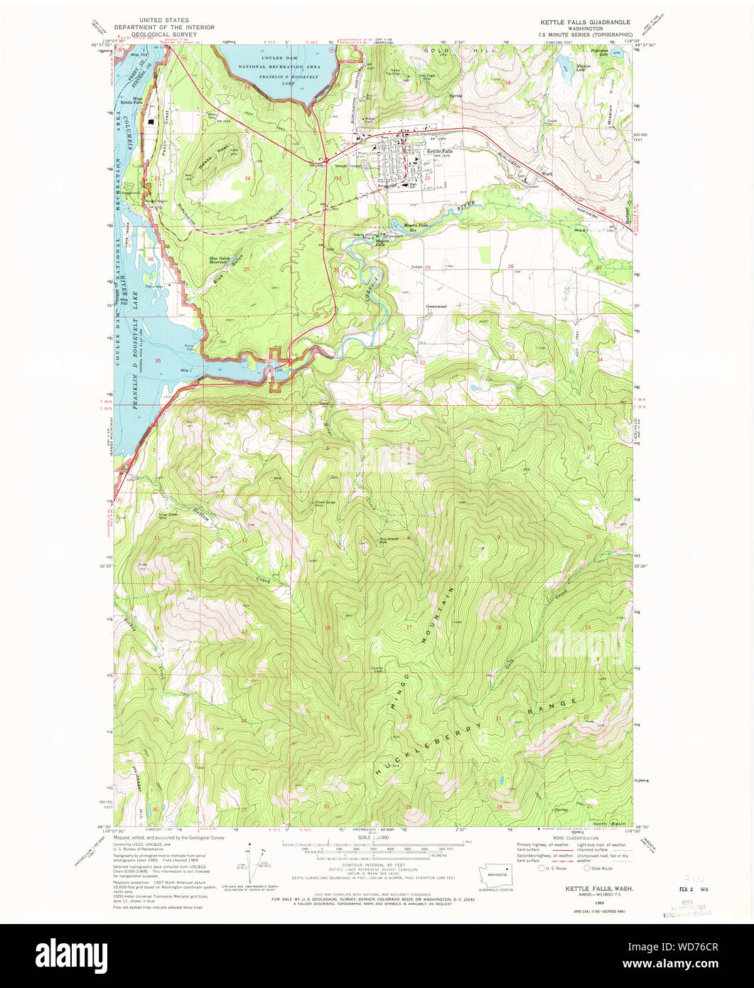 USGS Topo Map Washington State WA Kettle Falls 241766 1969 24000 Restoration Stock Photohttps://www.alamy.com/image-license-details/?v=1https://www.alamy.com/usgs-topo-map-washington-state-wa-kettle-falls-241766-1969-24000-restoration-image266304775.html
RMWD76CR–USGS Topo Map Washington State WA Kettle Falls 241766 1969 24000 Restoration
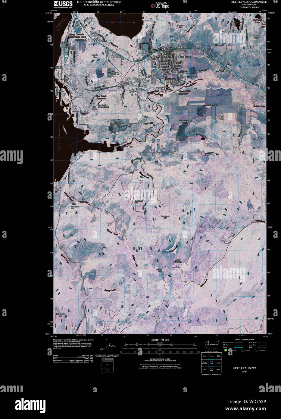 USGS Topo Map Washington State WA Kettle Falls 20110413 TM Inverted Restoration Stock Photohttps://www.alamy.com/image-license-details/?v=1https://www.alamy.com/usgs-topo-map-washington-state-wa-kettle-falls-20110413-tm-inverted-restoration-image266303738.html
RMWD753P–USGS Topo Map Washington State WA Kettle Falls 20110413 TM Inverted Restoration
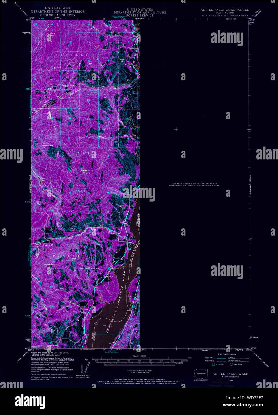 USGS Topo Map Washington State WA Kettle Falls 241762 1948 62500 Inverted Restoration Stock Photohttps://www.alamy.com/image-license-details/?v=1https://www.alamy.com/usgs-topo-map-washington-state-wa-kettle-falls-241762-1948-62500-inverted-restoration-image266304059.html
RMWD75F7–USGS Topo Map Washington State WA Kettle Falls 241762 1948 62500 Inverted Restoration
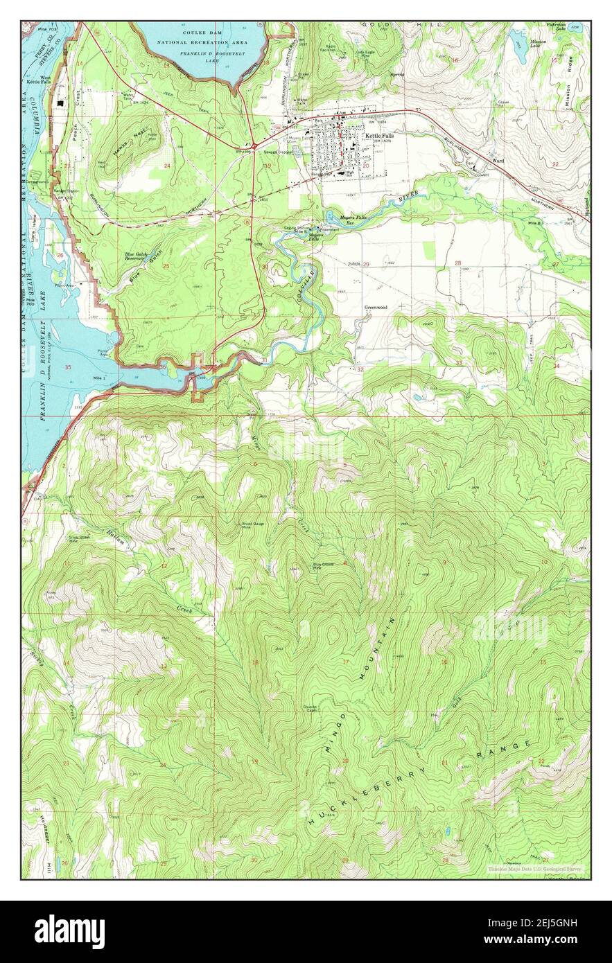 Kettle Falls, Washington, map 1969, 1:24000, United States of America by Timeless Maps, data U.S. Geological Survey Stock Photohttps://www.alamy.com/image-license-details/?v=1https://www.alamy.com/kettle-falls-washington-map-1969-124000-united-states-of-america-by-timeless-maps-data-us-geological-survey-image407025181.html
RM2EJ5GNH–Kettle Falls, Washington, map 1969, 1:24000, United States of America by Timeless Maps, data U.S. Geological Survey
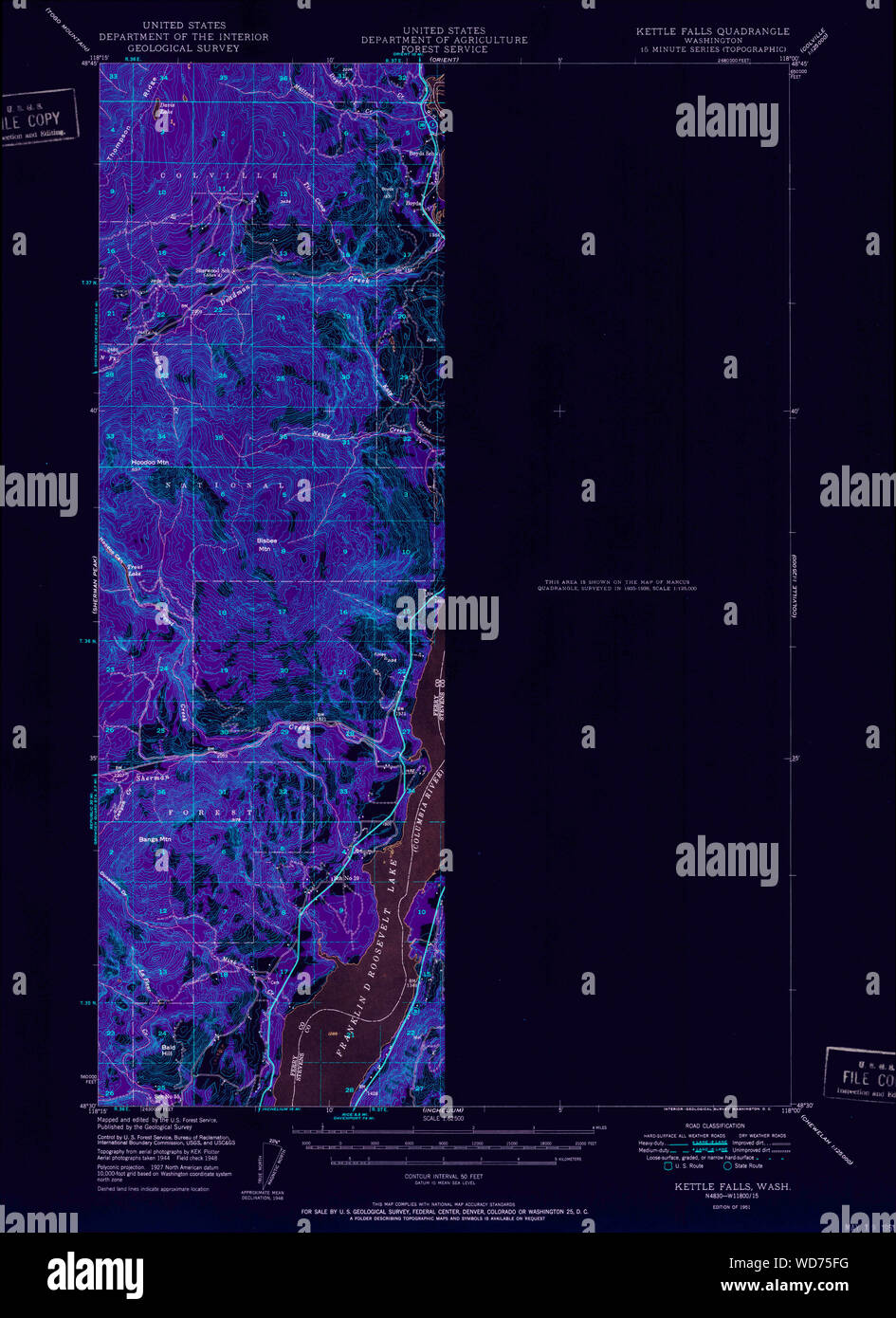 USGS Topo Map Washington State WA Kettle Falls 241763 1951 62500 Inverted Restoration Stock Photohttps://www.alamy.com/image-license-details/?v=1https://www.alamy.com/usgs-topo-map-washington-state-wa-kettle-falls-241763-1951-62500-inverted-restoration-image266304068.html
RMWD75FG–USGS Topo Map Washington State WA Kettle Falls 241763 1951 62500 Inverted Restoration
 USGS Topo Map Washington State WA Kettle Falls 241766 1969 24000 Inverted Restoration Stock Photohttps://www.alamy.com/image-license-details/?v=1https://www.alamy.com/usgs-topo-map-washington-state-wa-kettle-falls-241766-1969-24000-inverted-restoration-image266304774.html
RMWD76CP–USGS Topo Map Washington State WA Kettle Falls 241766 1969 24000 Inverted Restoration
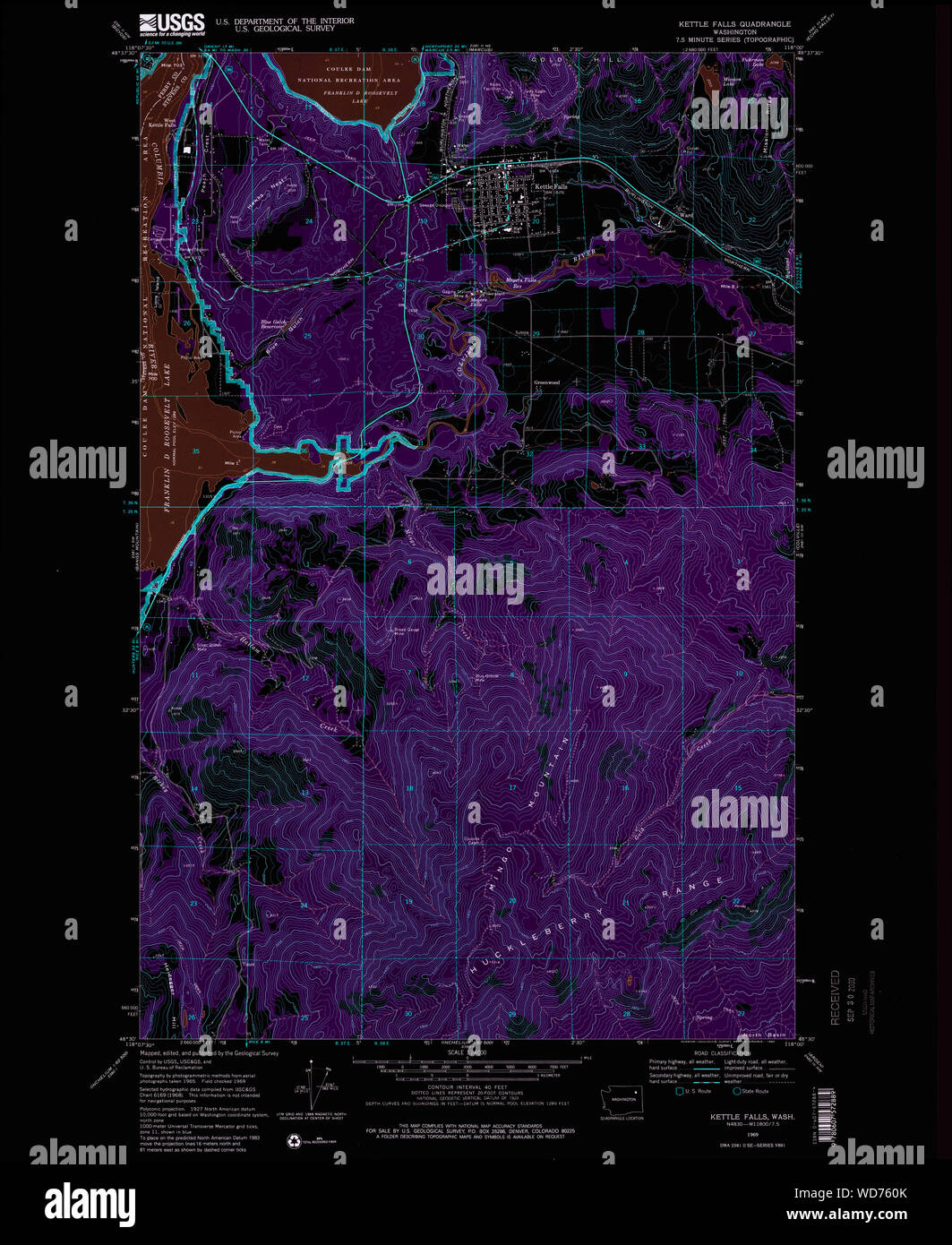 USGS Topo Map Washington State WA Kettle Falls 241764 1969 24000 Inverted Restoration Stock Photohttps://www.alamy.com/image-license-details/?v=1https://www.alamy.com/usgs-topo-map-washington-state-wa-kettle-falls-241764-1969-24000-inverted-restoration-image266304435.html
RMWD760K–USGS Topo Map Washington State WA Kettle Falls 241764 1969 24000 Inverted Restoration