Korea map Black & White Stock Photos
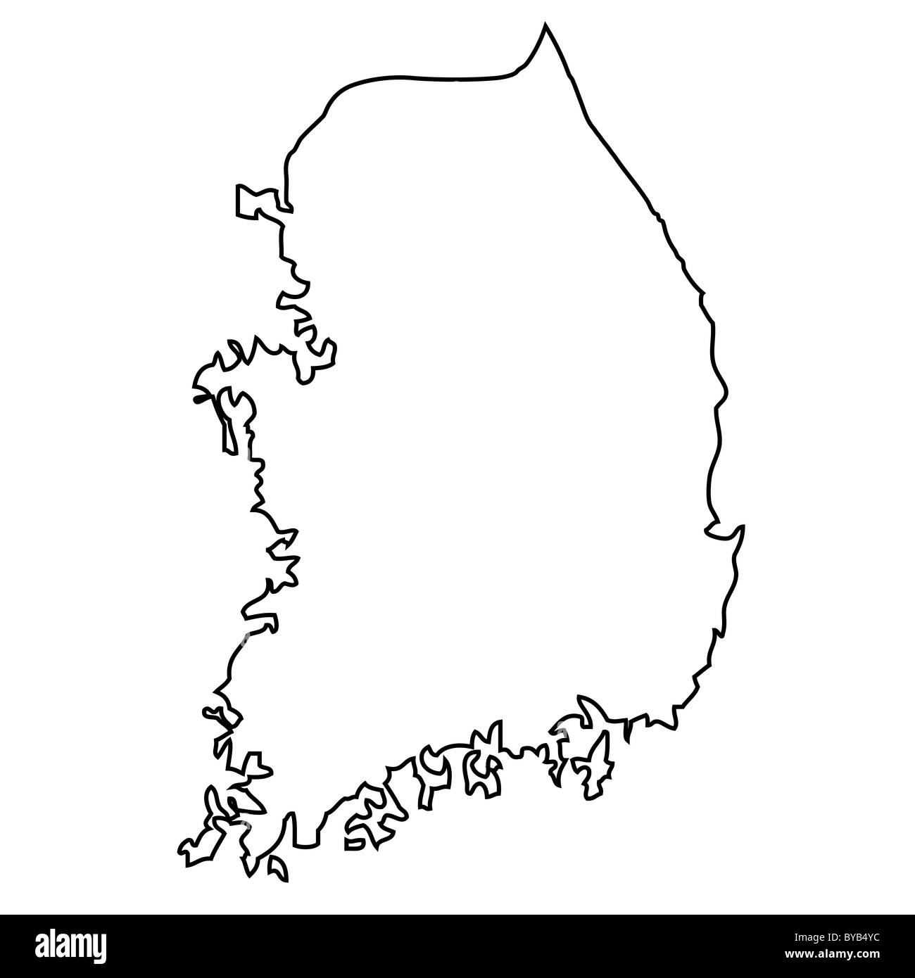 Outline, map of South Korea Stock Photohttps://www.alamy.com/image-license-details/?v=1https://www.alamy.com/stock-photo-outline-map-of-south-korea-34051456.html
RFBYB4YC–Outline, map of South Korea
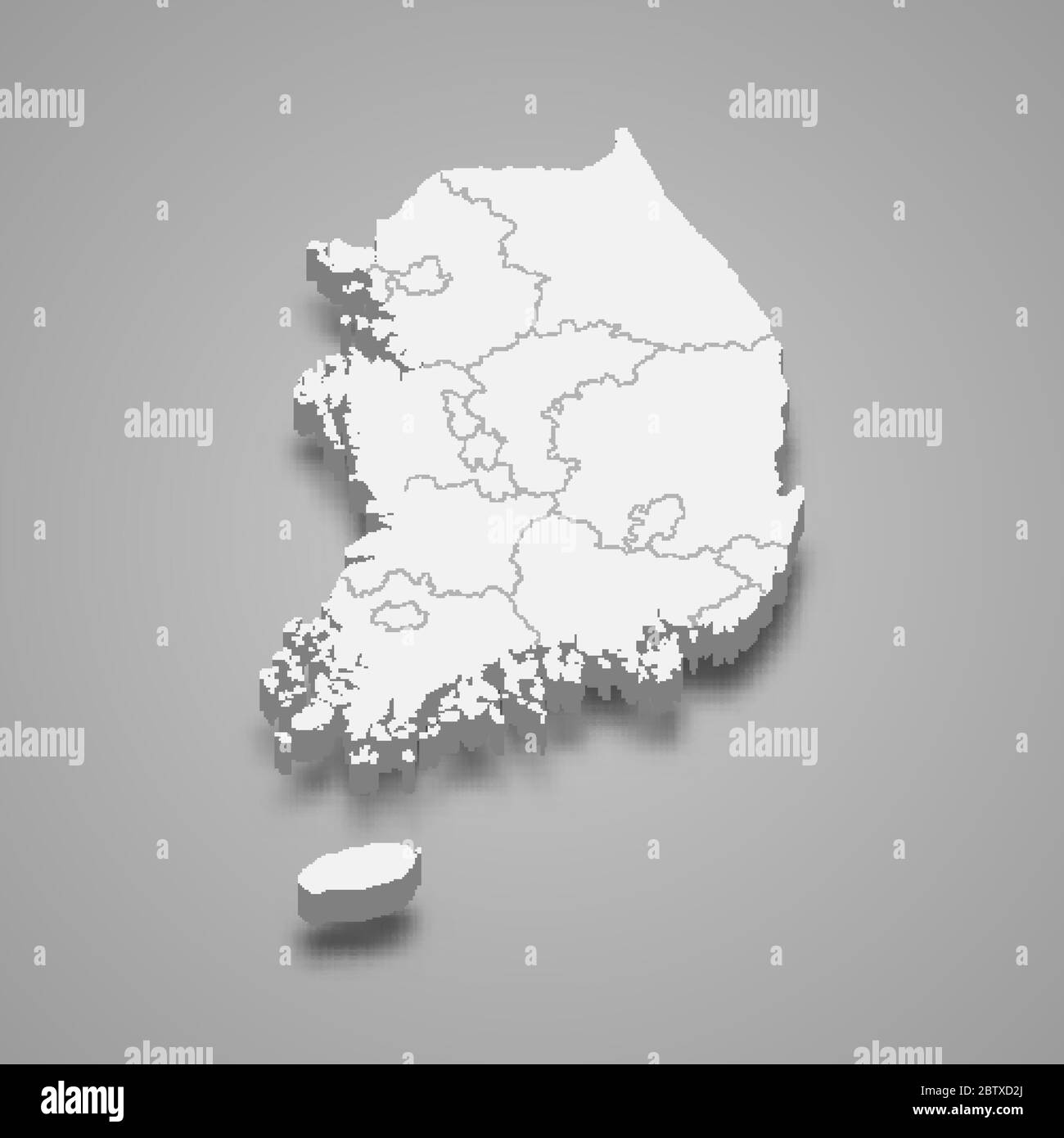 3d map of South Korea with borders of regions Stock Vectorhttps://www.alamy.com/image-license-details/?v=1https://www.alamy.com/3d-map-of-south-korea-with-borders-of-regions-image359540122.html
RF2BTXD2J–3d map of South Korea with borders of regions
 South korea map dotted, grey point, on white background. Vector illustration. Web design, wallpaper, flyers, invitation posters brochure Stock Vectorhttps://www.alamy.com/image-license-details/?v=1https://www.alamy.com/south-korea-map-dotted-grey-point-on-white-background-vector-illustration-web-design-wallpaper-flyers-invitation-posters-brochure-image339528107.html
RF2AMARFR–South korea map dotted, grey point, on white background. Vector illustration. Web design, wallpaper, flyers, invitation posters brochure
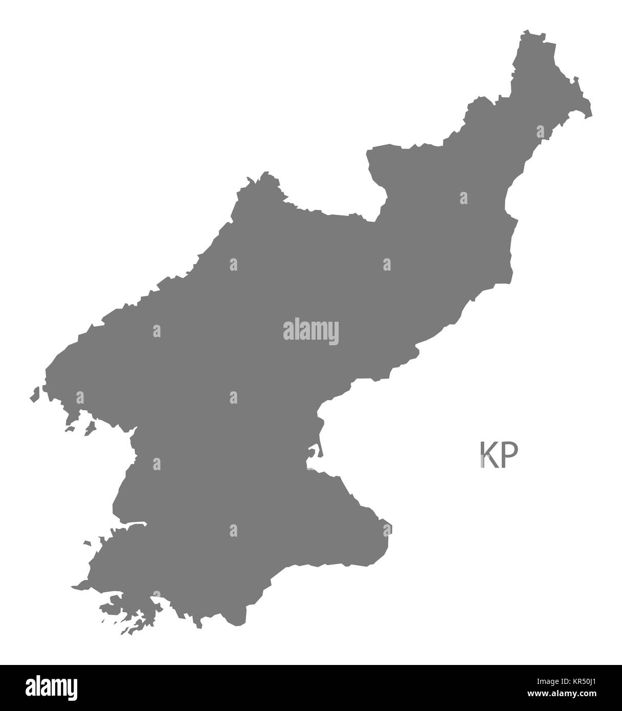 North Korea Map grey Stock Photohttps://www.alamy.com/image-license-details/?v=1https://www.alamy.com/stock-image-north-korea-map-grey-169140665.html
RFKR50J1–North Korea Map grey
 North Korea Map Vector Illustration - Silhouette, Outline, North Korea Travel and Tourism Map Stock Vectorhttps://www.alamy.com/image-license-details/?v=1https://www.alamy.com/north-korea-map-vector-illustration-silhouette-outline-north-korea-travel-and-tourism-map-image611785397.html
RF2XF96ED–North Korea Map Vector Illustration - Silhouette, Outline, North Korea Travel and Tourism Map
 North Korea shopping bar code isolated on white background. Stock Photohttps://www.alamy.com/image-license-details/?v=1https://www.alamy.com/north-korea-shopping-bar-code-isolated-on-white-background-image62487866.html
RMDHJFWE–North Korea shopping bar code isolated on white background.
 South Korea map silhouette vector illustration Stock Vectorhttps://www.alamy.com/image-license-details/?v=1https://www.alamy.com/south-korea-map-silhouette-vector-illustration-image612483729.html
RF2XGD16W–South Korea map silhouette vector illustration
RF2J0DYCH–Korea map silhouette icon. Editable vector.
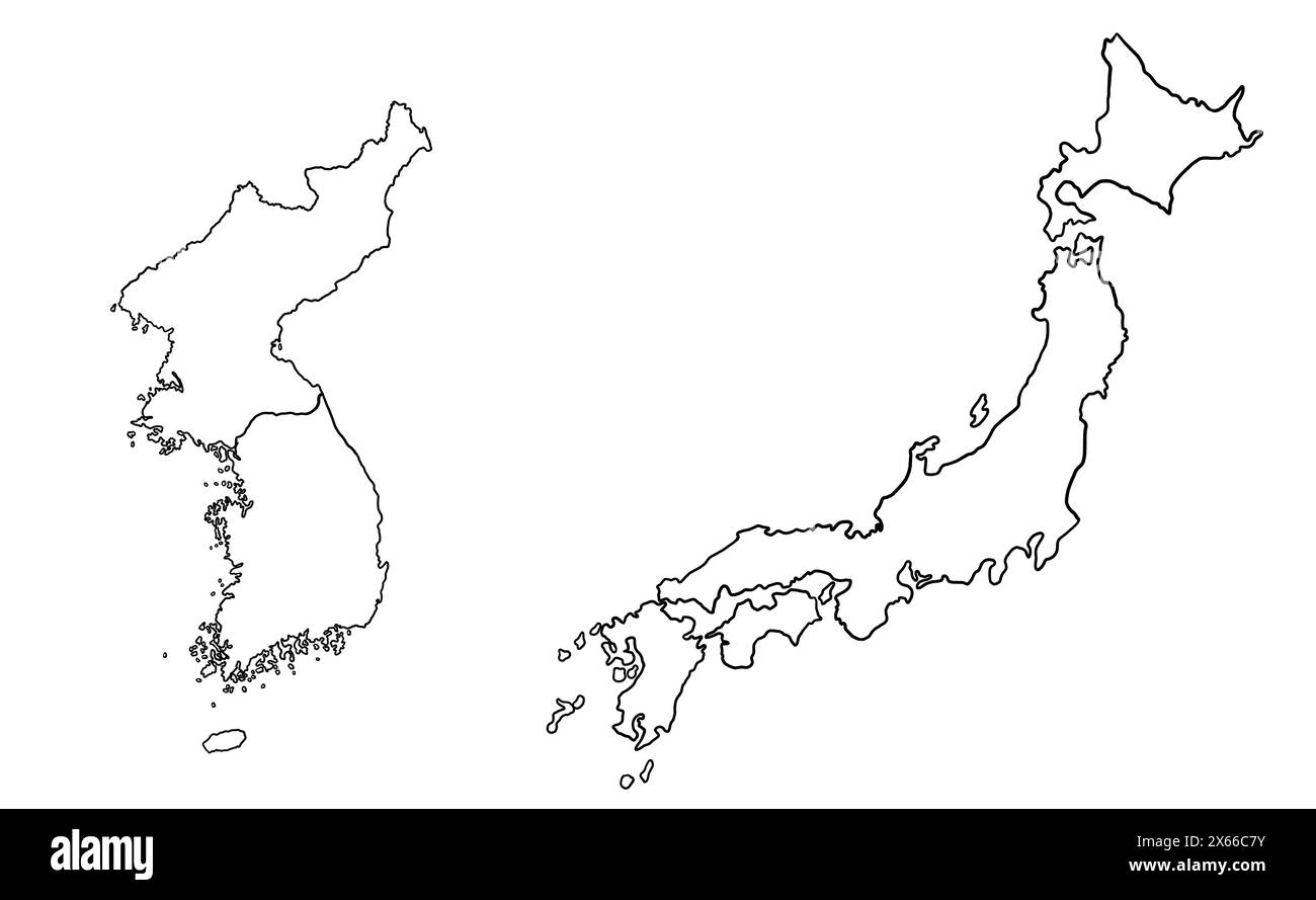 Contour drawing of Japan and Korea. Map illustration of East Asian countries. Stock Photohttps://www.alamy.com/image-license-details/?v=1https://www.alamy.com/contour-drawing-of-japan-and-korea-map-illustration-of-east-asian-countries-image606192159.html
RF2X66C7Y–Contour drawing of Japan and Korea. Map illustration of East Asian countries.
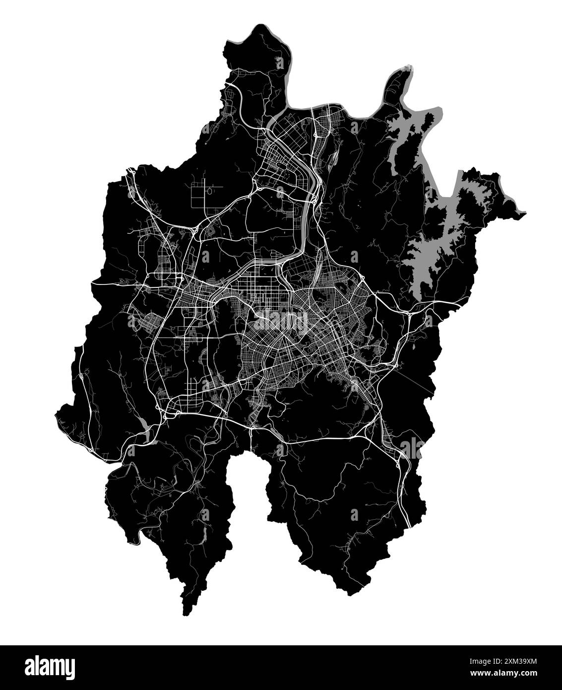 Map of Daejeon, South Korea. Detailed city vector map, metropolitan area with border. Black and white streetmap with roads and water. Stock Vectorhttps://www.alamy.com/image-license-details/?v=1https://www.alamy.com/map-of-daejeon-south-korea-detailed-city-vector-map-metropolitan-area-with-border-black-and-white-streetmap-with-roads-and-water-image614729660.html
RF2XM39XM–Map of Daejeon, South Korea. Detailed city vector map, metropolitan area with border. Black and white streetmap with roads and water.
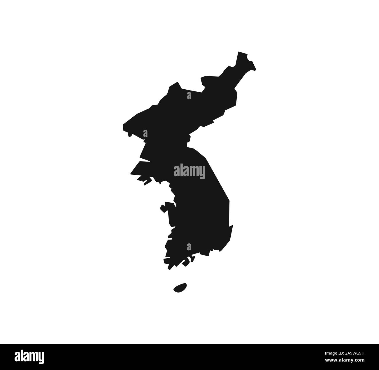 North, South Korea map on white background. Vector illustration. Stock Vectorhttps://www.alamy.com/image-license-details/?v=1https://www.alamy.com/north-south-korea-map-on-white-background-vector-illustration-image333090509.html
RF2A9WG9H–North, South Korea map on white background. Vector illustration.
 Map of Korea and it's surroundings during the 19th Century Stock Photohttps://www.alamy.com/image-license-details/?v=1https://www.alamy.com/stock-photo-map-of-korea-and-its-surroundings-during-the-19th-century-104149460.html
RMG1CBKG–Map of Korea and it's surroundings during the 19th Century
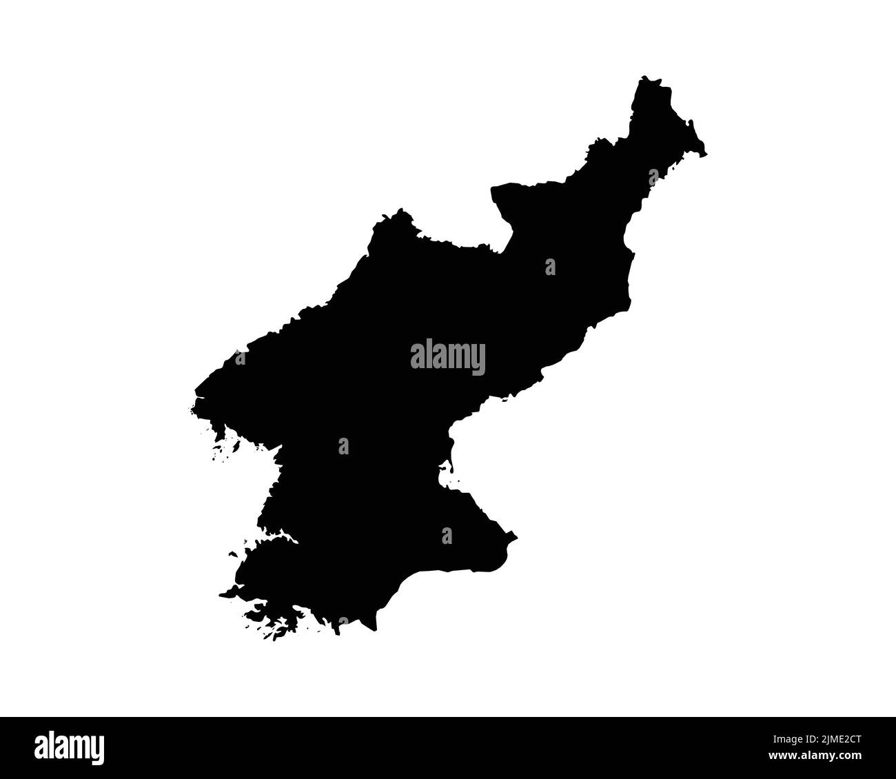 North Korea Map. North Korean Country Map. Black and White DPRK National Nation Geography Outline Border Boundary Territory Shape Vector Illustration Stock Vectorhttps://www.alamy.com/image-license-details/?v=1https://www.alamy.com/north-korea-map-north-korean-country-map-black-and-white-dprk-national-nation-geography-outline-border-boundary-territory-shape-vector-illustration-image477282312.html
RF2JME2CT–North Korea Map. North Korean Country Map. Black and White DPRK National Nation Geography Outline Border Boundary Territory Shape Vector Illustration
 Korea: Atlas of the World ('Ch'ŏnha chido') showing China, the 'Middle Kingdom', as the centre of the world, 17th century This Ch'ŏnha chido ('Map Of All Under Heaven') was produced in Korea in the 17th century, a copy of a traditional Korean atlas produced in the early Choson Dynasty (1392-1910). The structure of the map is simple. A main continent, containing China, Korea and a number of historically known countries occupies the centre of the circular map, surrounded by an enclosing sea ring, which is itself surrounded by an outer ring of land. Stock Photohttps://www.alamy.com/image-license-details/?v=1https://www.alamy.com/korea-atlas-of-the-world-chnha-chido-showing-china-the-middle-kingdom-as-the-centre-of-the-world-17th-century-this-chnha-chido-map-of-all-under-heaven-was-produced-in-korea-in-the-17th-century-a-copy-of-a-traditional-korean-atlas-produced-in-the-early-choson-dynasty-1392-1910-the-structure-of-the-map-is-simple-a-main-continent-containing-china-korea-and-a-number-of-historically-known-countries-occupies-the-centre-of-the-circular-map-surrounded-by-an-enclosing-sea-ring-which-is-itself-surrounded-by-an-outer-ring-of-land-image344251727.html
RM2B020GF–Korea: Atlas of the World ('Ch'ŏnha chido') showing China, the 'Middle Kingdom', as the centre of the world, 17th century This Ch'ŏnha chido ('Map Of All Under Heaven') was produced in Korea in the 17th century, a copy of a traditional Korean atlas produced in the early Choson Dynasty (1392-1910). The structure of the map is simple. A main continent, containing China, Korea and a number of historically known countries occupies the centre of the circular map, surrounded by an enclosing sea ring, which is itself surrounded by an outer ring of land.
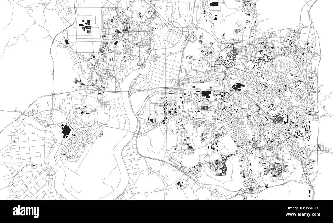 Satellite map of Gwangju, city streets. Street map, city center. South Korea Stock Vectorhttps://www.alamy.com/image-license-details/?v=1https://www.alamy.com/satellite-map-of-gwangju-city-streets-street-map-city-center-south-korea-image222321340.html
RFPWKH3T–Satellite map of Gwangju, city streets. Street map, city center. South Korea
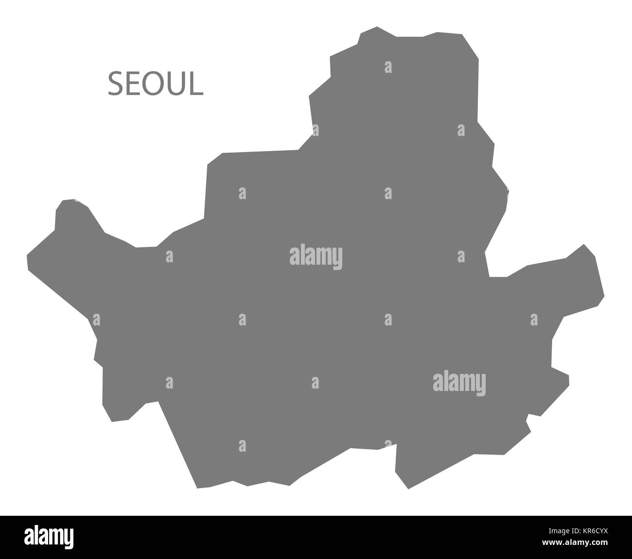 Seoul South Korea Map grey Stock Photohttps://www.alamy.com/image-license-details/?v=1https://www.alamy.com/stock-image-seoul-south-korea-map-grey-169172302.html
RFKR6CYX–Seoul South Korea Map grey
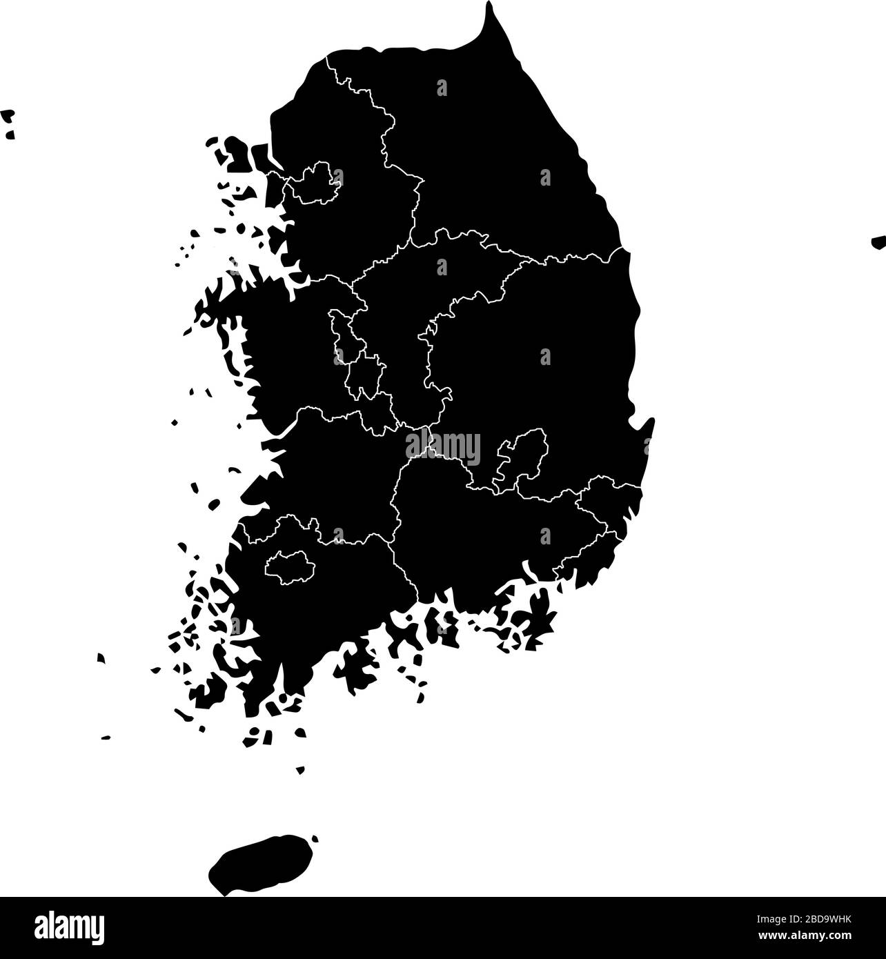 South korea administrative divisions map / Black Stock Vectorhttps://www.alamy.com/image-license-details/?v=1https://www.alamy.com/south-korea-administrative-divisions-map-black-image352415551.html
RF2BD9WHK–South korea administrative divisions map / Black
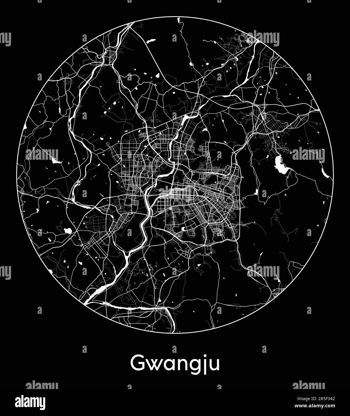 City Map Gwangju South Korea Asia vector illustration Stock Vectorhttps://www.alamy.com/image-license-details/?v=1https://www.alamy.com/city-map-gwangju-south-korea-asia-vector-illustration-image554136802.html
RF2R5F342–City Map Gwangju South Korea Asia vector illustration
RF2RFFKG1–south korea map icon vector illustration design
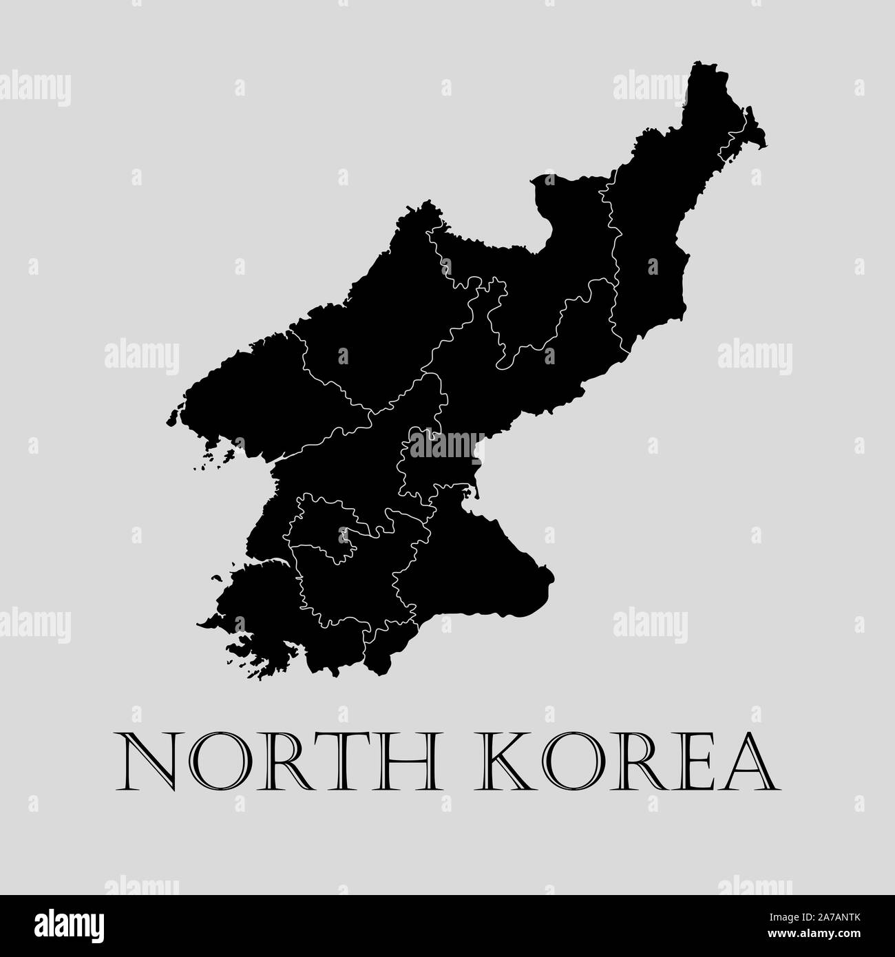 Black North Korea map on light grey background. Black North Korea map - vector illustration. Stock Vectorhttps://www.alamy.com/image-license-details/?v=1https://www.alamy.com/black-north-korea-map-on-light-grey-background-black-north-korea-map-vector-illustration-image331536259.html
RF2A7ANTK–Black North Korea map on light grey background. Black North Korea map - vector illustration.
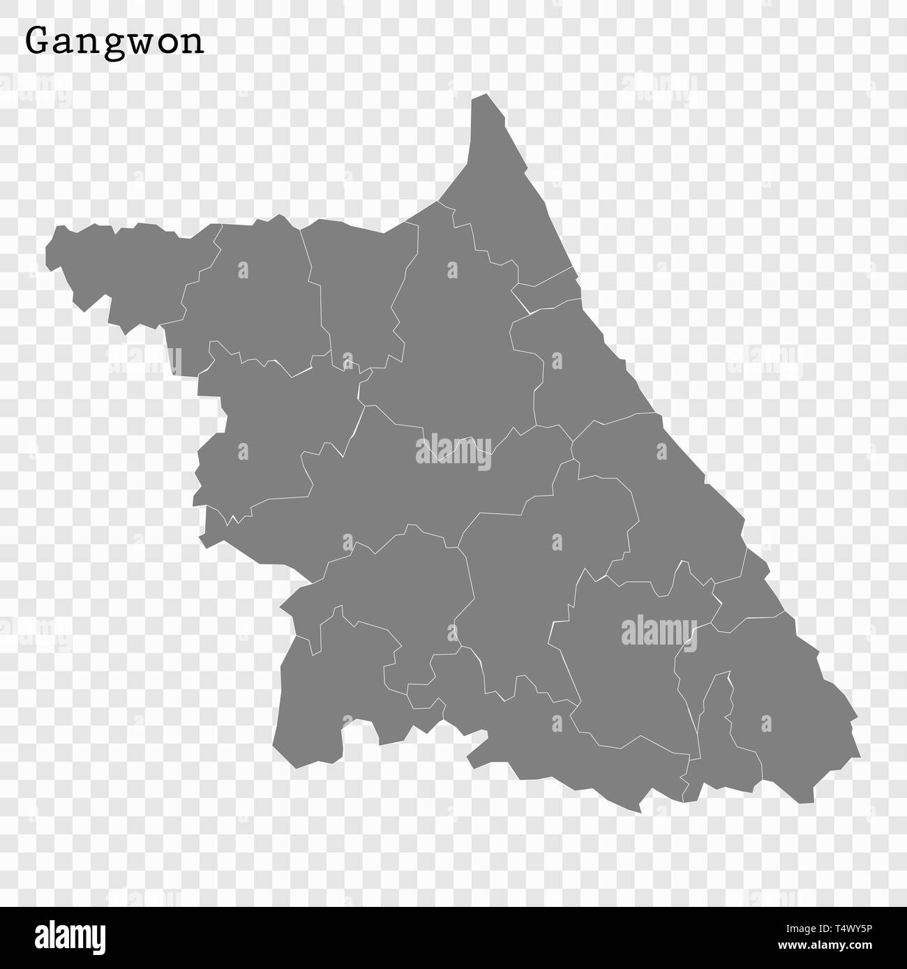 High Quality map of Gangwon is a province of South Korea, with borders of the counties Stock Vectorhttps://www.alamy.com/image-license-details/?v=1https://www.alamy.com/high-quality-map-of-gangwon-is-a-province-of-south-korea-with-borders-of-the-counties-image243973906.html
RFT4WY5P–High Quality map of Gangwon is a province of South Korea, with borders of the counties
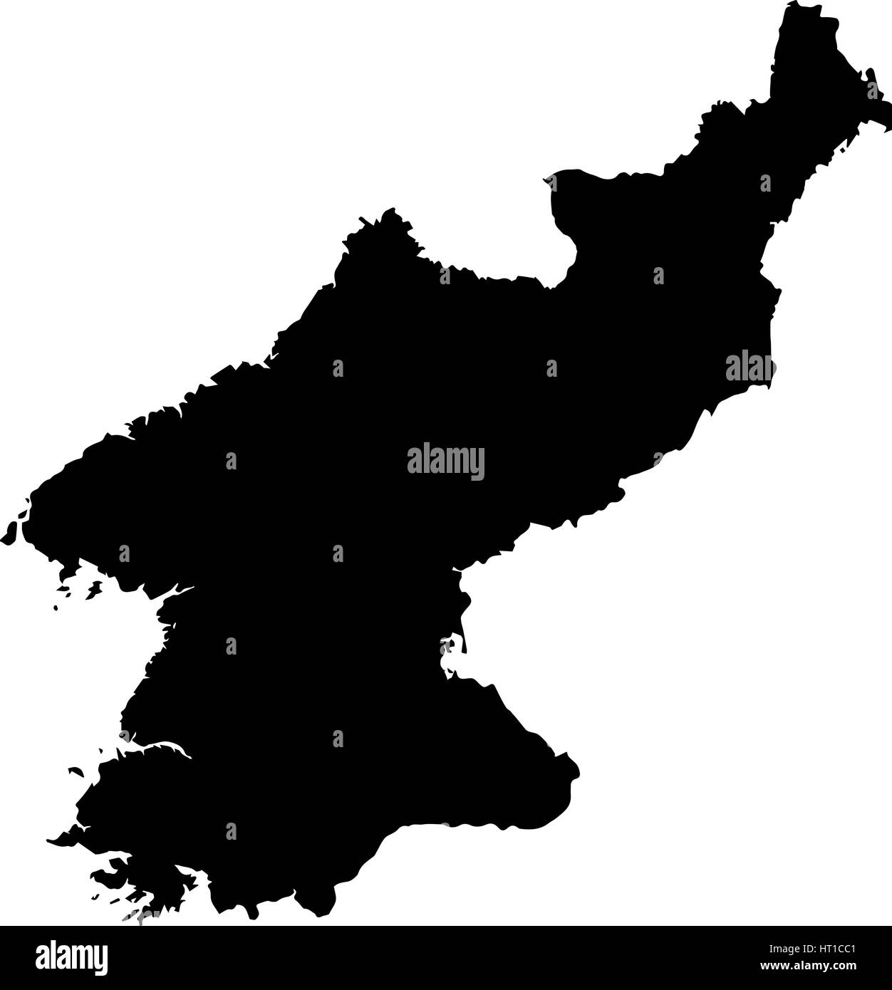 Black map of North Korea on a white background Stock Vectorhttps://www.alamy.com/image-license-details/?v=1https://www.alamy.com/stock-photo-black-map-of-north-korea-on-a-white-background-135256017.html
RFHT1CC1–Black map of North Korea on a white background
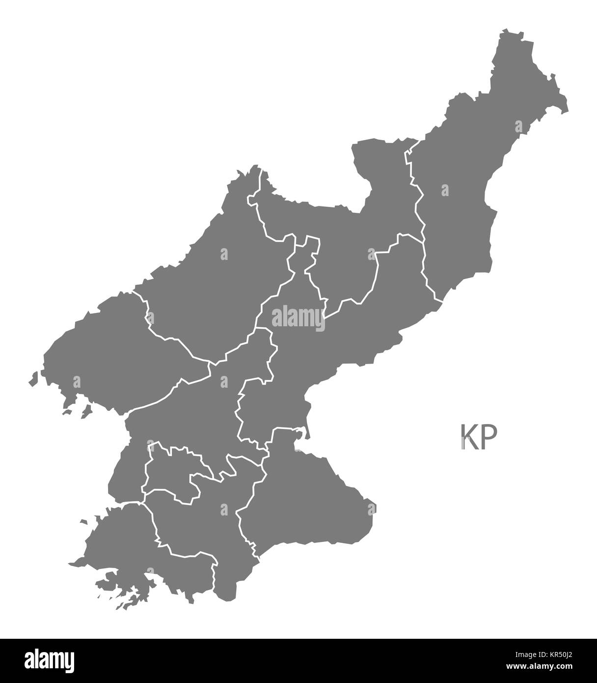 North Korea provinces Map grey Stock Photohttps://www.alamy.com/image-license-details/?v=1https://www.alamy.com/stock-image-north-korea-provinces-map-grey-169140666.html
RFKR50J2–North Korea provinces Map grey
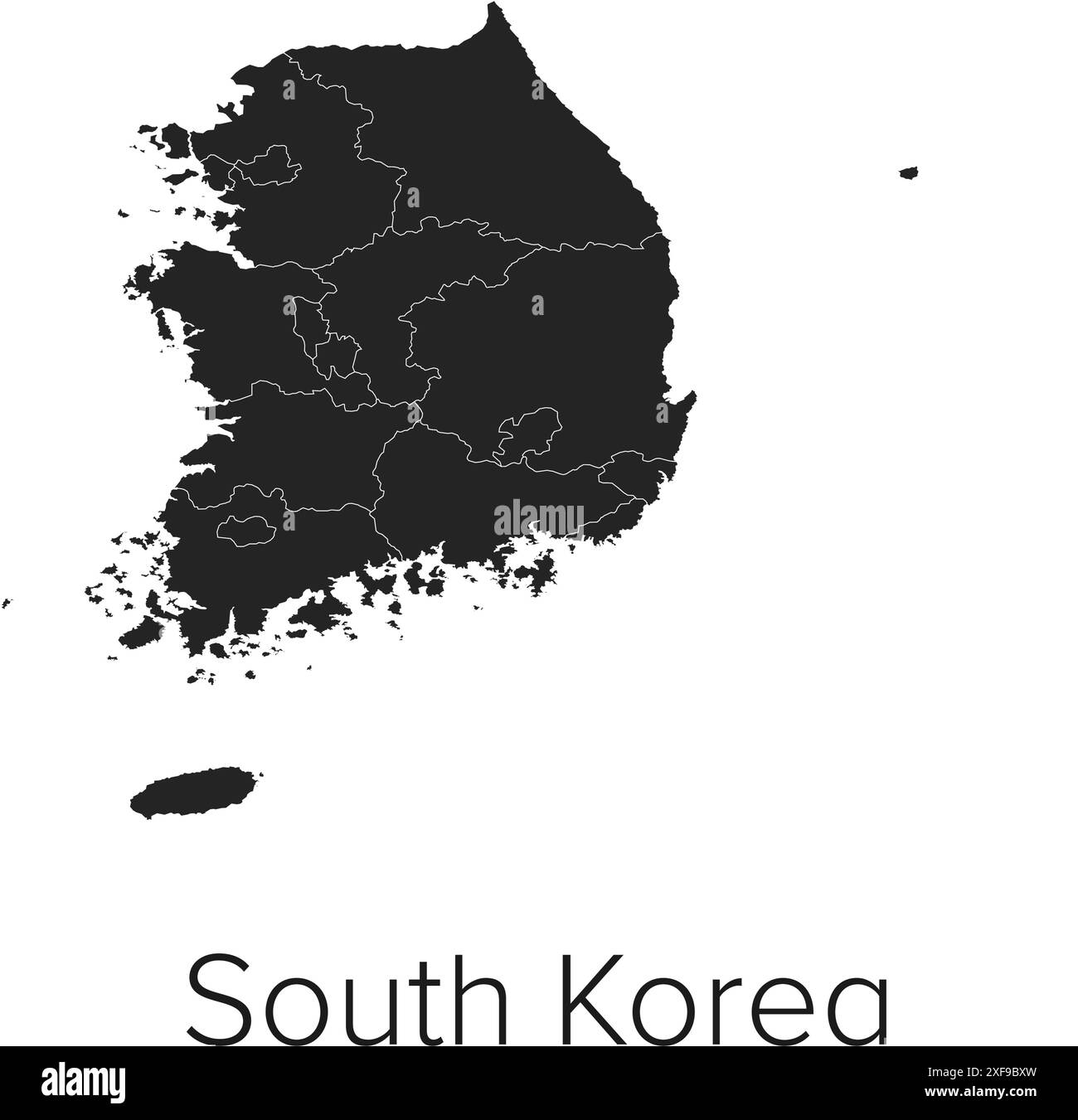 South Korea Map Vector Illustration - Silhouette, Outline, South Korea Travel and Tourism Map Stock Vectorhttps://www.alamy.com/image-license-details/?v=1https://www.alamy.com/south-korea-map-vector-illustration-silhouette-outline-south-korea-travel-and-tourism-map-image611789665.html
RF2XF9BXW–South Korea Map Vector Illustration - Silhouette, Outline, South Korea Travel and Tourism Map
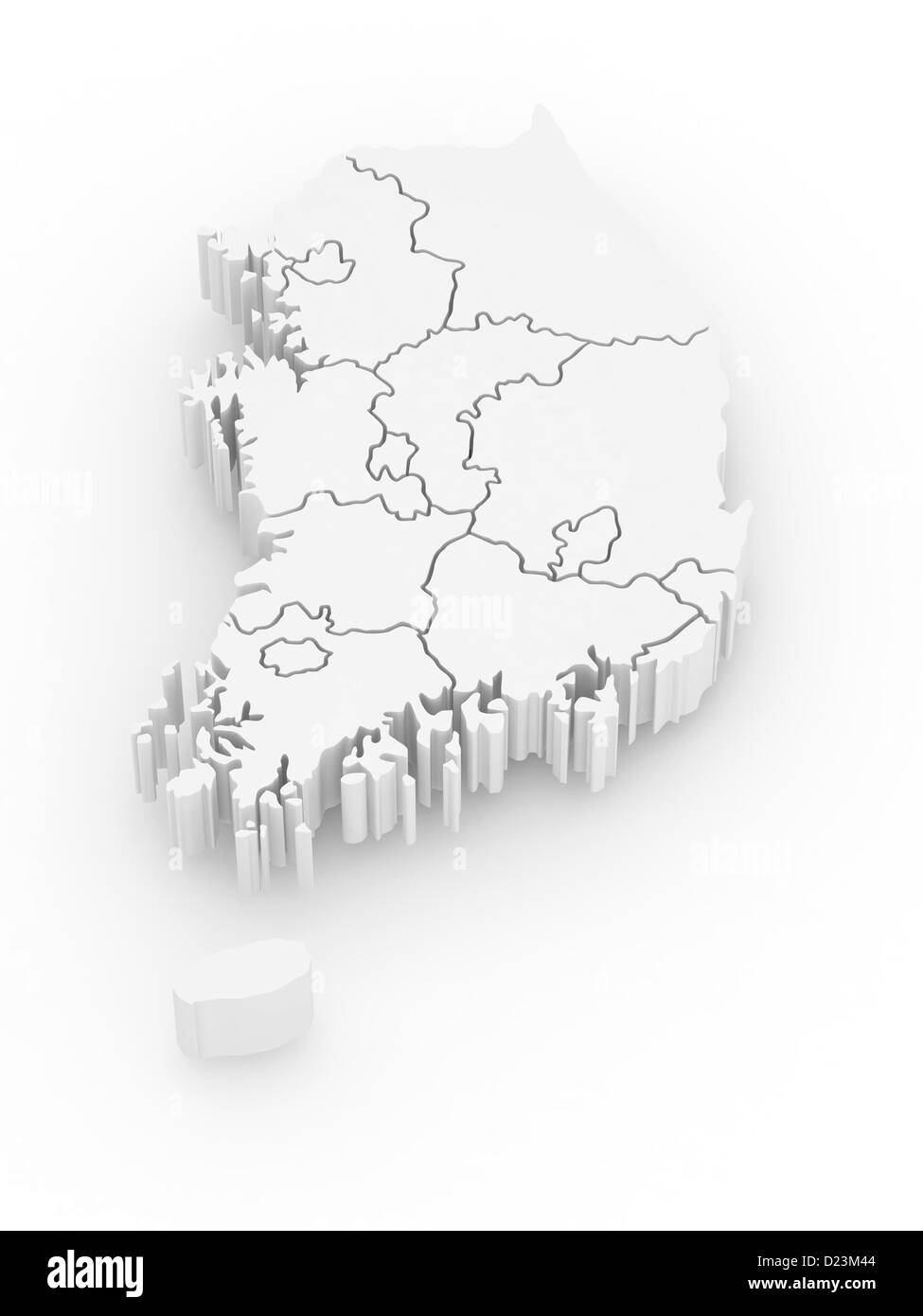 Three-dimensional map of Southern Korea on white isolated background. 3d Stock Photohttps://www.alamy.com/image-license-details/?v=1https://www.alamy.com/stock-photo-three-dimensional-map-of-southern-korea-on-white-isolated-background-52942068.html
RFD23M44–Three-dimensional map of Southern Korea on white isolated background. 3d
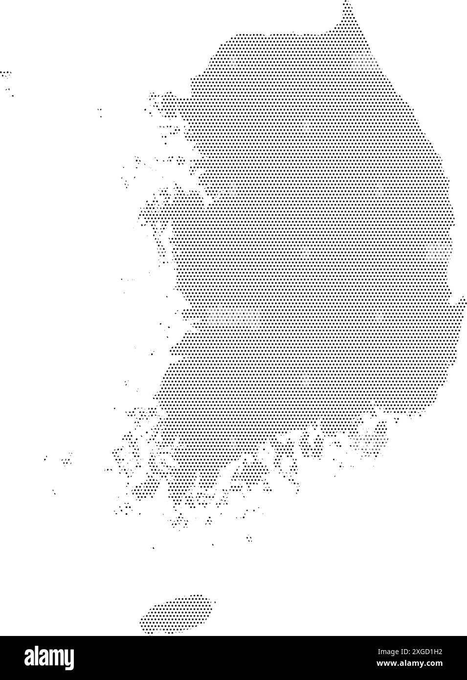 South Korea map with dotted pattern vector illustration Stock Vectorhttps://www.alamy.com/image-license-details/?v=1https://www.alamy.com/south-korea-map-with-dotted-pattern-vector-illustration-image612484014.html
RF2XGD1H2–South Korea map with dotted pattern vector illustration
 Usaf-korea-map Stock Photohttps://www.alamy.com/image-license-details/?v=1https://www.alamy.com/stock-photo-usaf-korea-map-57785086.html
RMDA09D2–Usaf-korea-map
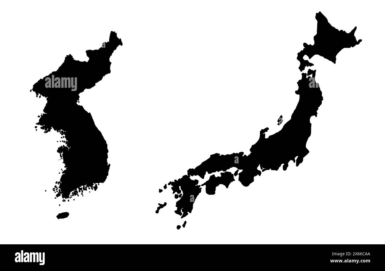 Black silhouette drawing of Japan and Korea. Map illustration of East Asian countries. Stock Photohttps://www.alamy.com/image-license-details/?v=1https://www.alamy.com/black-silhouette-drawing-of-japan-and-korea-map-illustration-of-east-asian-countries-image606192226.html
RF2X66CAA–Black silhouette drawing of Japan and Korea. Map illustration of East Asian countries.
 North Korea vector maps with administrative regions, municipalities, departments, borders Stock Vectorhttps://www.alamy.com/image-license-details/?v=1https://www.alamy.com/north-korea-vector-maps-with-administrative-regions-municipalities-departments-borders-image358964404.html
RF2BT06N8–North Korea vector maps with administrative regions, municipalities, departments, borders
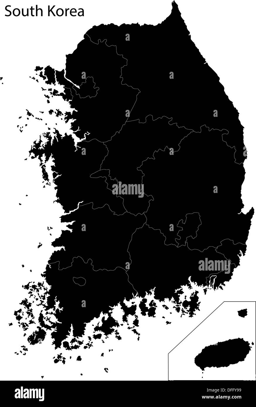 Black South Korea map Stock Photohttps://www.alamy.com/image-license-details/?v=1https://www.alamy.com/black-south-korea-map-image61201653.html
RFDFFY99–Black South Korea map
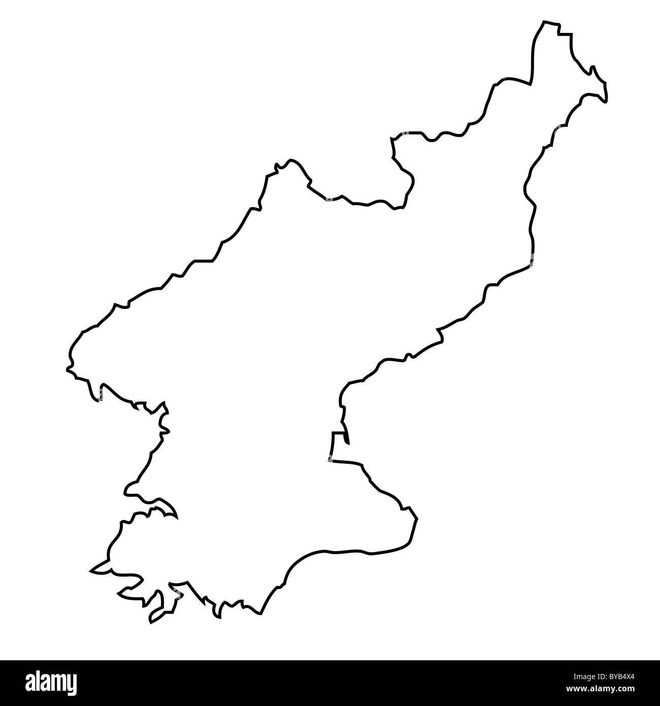 Outline, map of North Korea Stock Photohttps://www.alamy.com/image-license-details/?v=1https://www.alamy.com/stock-photo-outline-map-of-north-korea-34051420.html
RFBYB4X4–Outline, map of North Korea
 South Korea Map. Korean Country Map. Black and White ROK National Nation Geography Outline Border Boundary Territory Shape Vector Illustration EPS Cli Stock Vectorhttps://www.alamy.com/image-license-details/?v=1https://www.alamy.com/south-korea-map-korean-country-map-black-and-white-rok-national-nation-geography-outline-border-boundary-territory-shape-vector-illustration-eps-cli-image477282443.html
RF2JME2HF–South Korea Map. Korean Country Map. Black and White ROK National Nation Geography Outline Border Boundary Territory Shape Vector Illustration EPS Cli
 North Korea country map vector illustration symbol design Stock Vectorhttps://www.alamy.com/image-license-details/?v=1https://www.alamy.com/north-korea-country-map-vector-illustration-symbol-design-image602860672.html
RF2X0PJX8–North Korea country map vector illustration symbol design
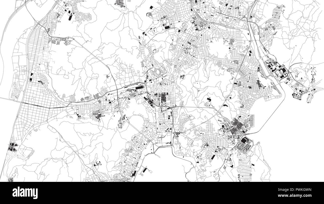 Satellite map of Busan Metropolitan City, Pusan, city streets. Street map, city center. South Korea Stock Vectorhttps://www.alamy.com/image-license-details/?v=1https://www.alamy.com/satellite-map-of-busan-metropolitan-city-pusan-city-streets-street-map-city-center-south-korea-image222321169.html
RFPWKGWN–Satellite map of Busan Metropolitan City, Pusan, city streets. Street map, city center. South Korea
 Isometric Korea map with border vector template. Shadow grey background. Stock Vectorhttps://www.alamy.com/image-license-details/?v=1https://www.alamy.com/isometric-korea-map-with-border-vector-template-shadow-grey-background-image458851920.html
RF2HJEE8G–Isometric Korea map with border vector template. Shadow grey background.
RF2TAGK3E–North Korea map silhouette from black square pixels. Vector illustration.
 City Map Daegu South Korea Asia vector illustration Stock Vectorhttps://www.alamy.com/image-license-details/?v=1https://www.alamy.com/city-map-daegu-south-korea-asia-vector-illustration-image554137050.html
RF2R5F3CX–City Map Daegu South Korea Asia vector illustration
RF2RFFKM4–south korea map icon vector illustration design
 Black South Korea map on light grey background. Black South Korea map - vector illustration. Stock Vectorhttps://www.alamy.com/image-license-details/?v=1https://www.alamy.com/black-south-korea-map-on-light-grey-background-black-south-korea-map-vector-illustration-image331536258.html
RF2A7ANTJ–Black South Korea map on light grey background. Black South Korea map - vector illustration.
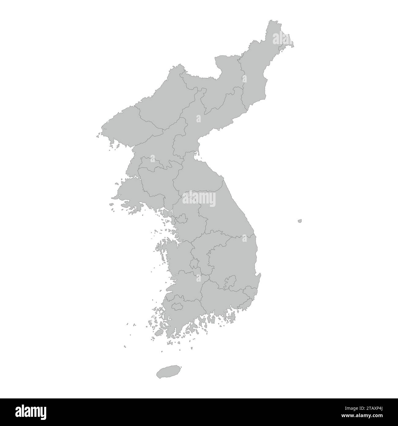 North and South Korea map with province bordres on white background, Stock Vectorhttps://www.alamy.com/image-license-details/?v=1https://www.alamy.com/north-and-south-korea-map-with-province-bordres-on-white-background-image574676834.html
RF2TAXP4J–North and South Korea map with province bordres on white background,
 North Korea map. Blank vector map of the Country. Borders of North Korea for your infographic. Vector illustration. Stock Vectorhttps://www.alamy.com/image-license-details/?v=1https://www.alamy.com/north-korea-map-blank-vector-map-of-the-country-borders-of-north-korea-for-your-infographic-vector-illustration-image593987011.html
RF2WEACDR–North Korea map. Blank vector map of the Country. Borders of North Korea for your infographic. Vector illustration.
 South Korea Map grey Stock Photohttps://www.alamy.com/image-license-details/?v=1https://www.alamy.com/stock-image-south-korea-map-grey-169140404.html
RFKR508M–South Korea Map grey
 South Korea map with gray tone on white background,illustration,textured , Symbols of South Korea,vector illustration Stock Vectorhttps://www.alamy.com/image-license-details/?v=1https://www.alamy.com/south-korea-map-with-gray-tone-on-white-backgroundillustrationtextured-symbols-of-south-koreavector-illustration-image360488409.html
RF2BXDJJ1–South Korea map with gray tone on white background,illustration,textured , Symbols of South Korea,vector illustration
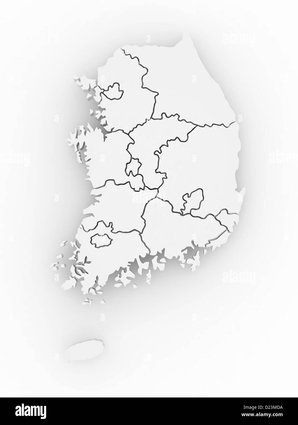 Three-dimensional map of Southern Korea on white isolated background. 3d Stock Photohttps://www.alamy.com/image-license-details/?v=1https://www.alamy.com/stock-photo-three-dimensional-map-of-southern-korea-on-white-isolated-background-52942326.html
RFD23MDA–Three-dimensional map of Southern Korea on white isolated background. 3d
 South Korea map with lined pattern vector illustration Stock Vectorhttps://www.alamy.com/image-license-details/?v=1https://www.alamy.com/south-korea-map-with-lined-pattern-vector-illustration-image612483744.html
RF2XGD17C–South Korea map with lined pattern vector illustration
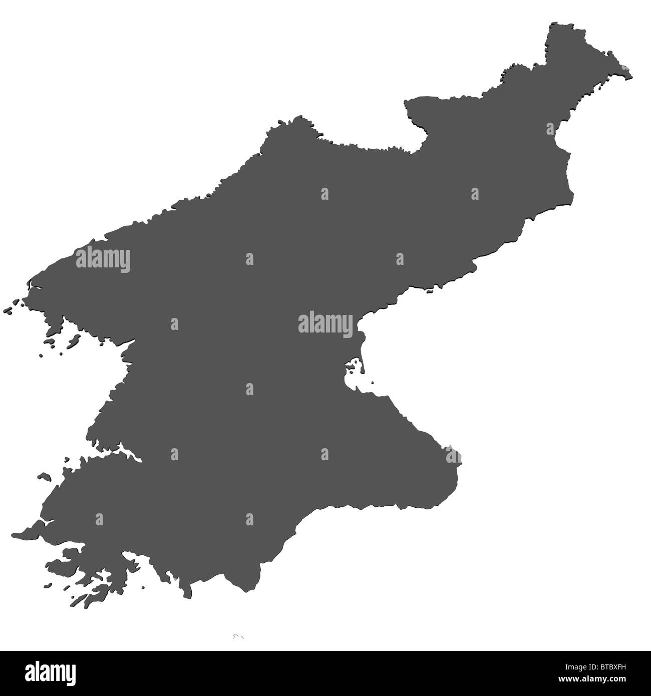 Map of North Korea Stock Photohttps://www.alamy.com/image-license-details/?v=1https://www.alamy.com/stock-photo-map-of-north-korea-32224405.html
RFBTBXFH–Map of North Korea
 KOREA: Korea; The Chief Mission Stations. Christianity, 1922 vintage map Stock Photohttps://www.alamy.com/image-license-details/?v=1https://www.alamy.com/stock-photo-korea-korea-the-chief-mission-stations-christianity-1922-vintage-map-110079043.html
RFGB2EXB–KOREA: Korea; The Chief Mission Stations. Christianity, 1922 vintage map
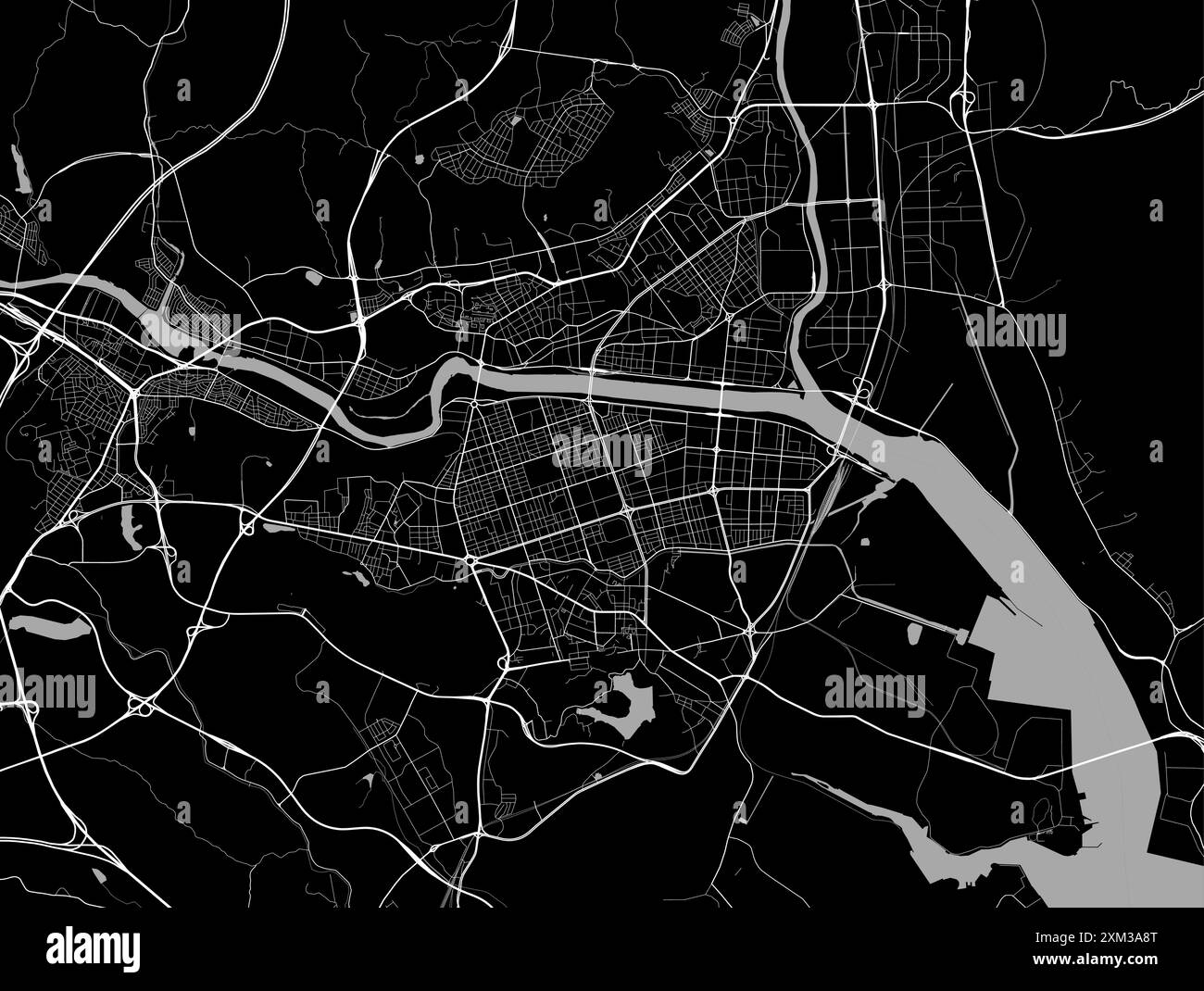 Map of Ulsan, South Korea. Detailed city vector map, metropolitan area. Black and white streetmap with roads and water. Stock Vectorhttps://www.alamy.com/image-license-details/?v=1https://www.alamy.com/map-of-ulsan-south-korea-detailed-city-vector-map-metropolitan-area-black-and-white-streetmap-with-roads-and-water-image614729944.html
RF2XM3A8T–Map of Ulsan, South Korea. Detailed city vector map, metropolitan area. Black and white streetmap with roads and water.
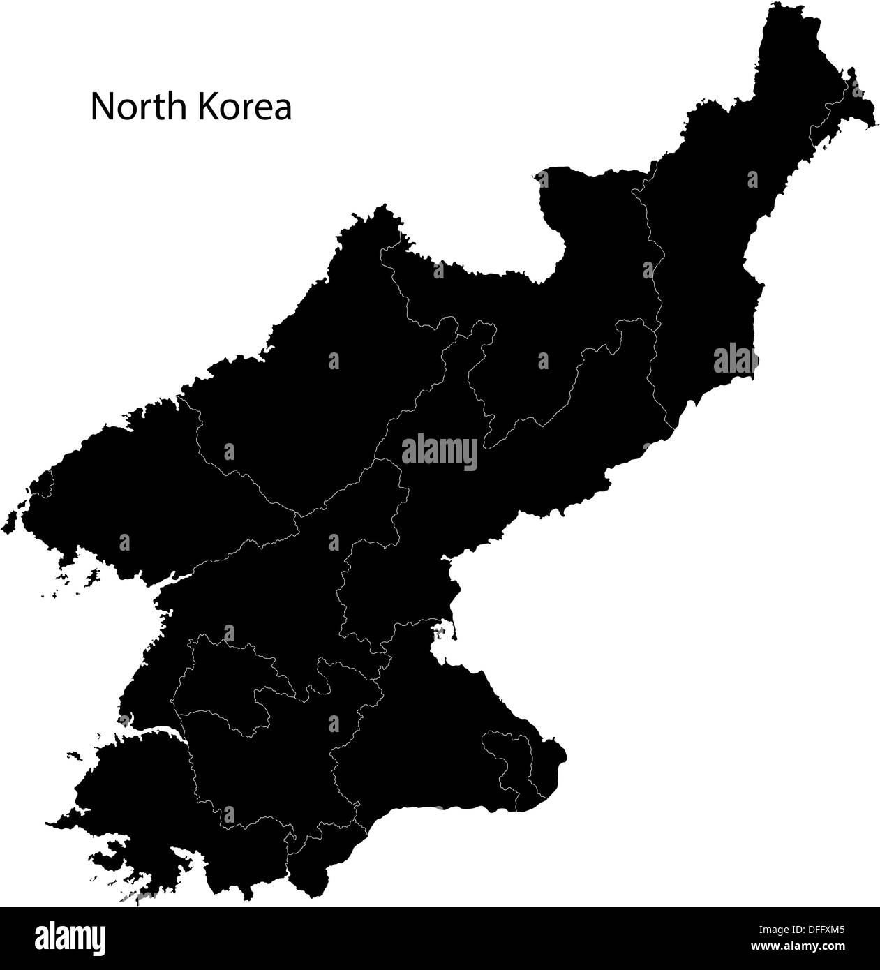 Black North Korea map Stock Photohttps://www.alamy.com/image-license-details/?v=1https://www.alamy.com/black-north-korea-map-image61201173.html
RFDFFXM5–Black North Korea map
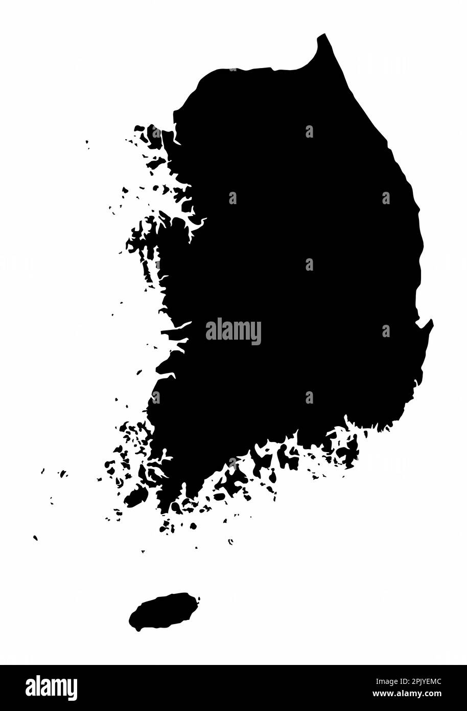 South Korea map silhouette isolated on white background Stock Vectorhttps://www.alamy.com/image-license-details/?v=1https://www.alamy.com/south-korea-map-silhouette-isolated-on-white-background-image545189468.html
RF2PJYEMC–South Korea map silhouette isolated on white background
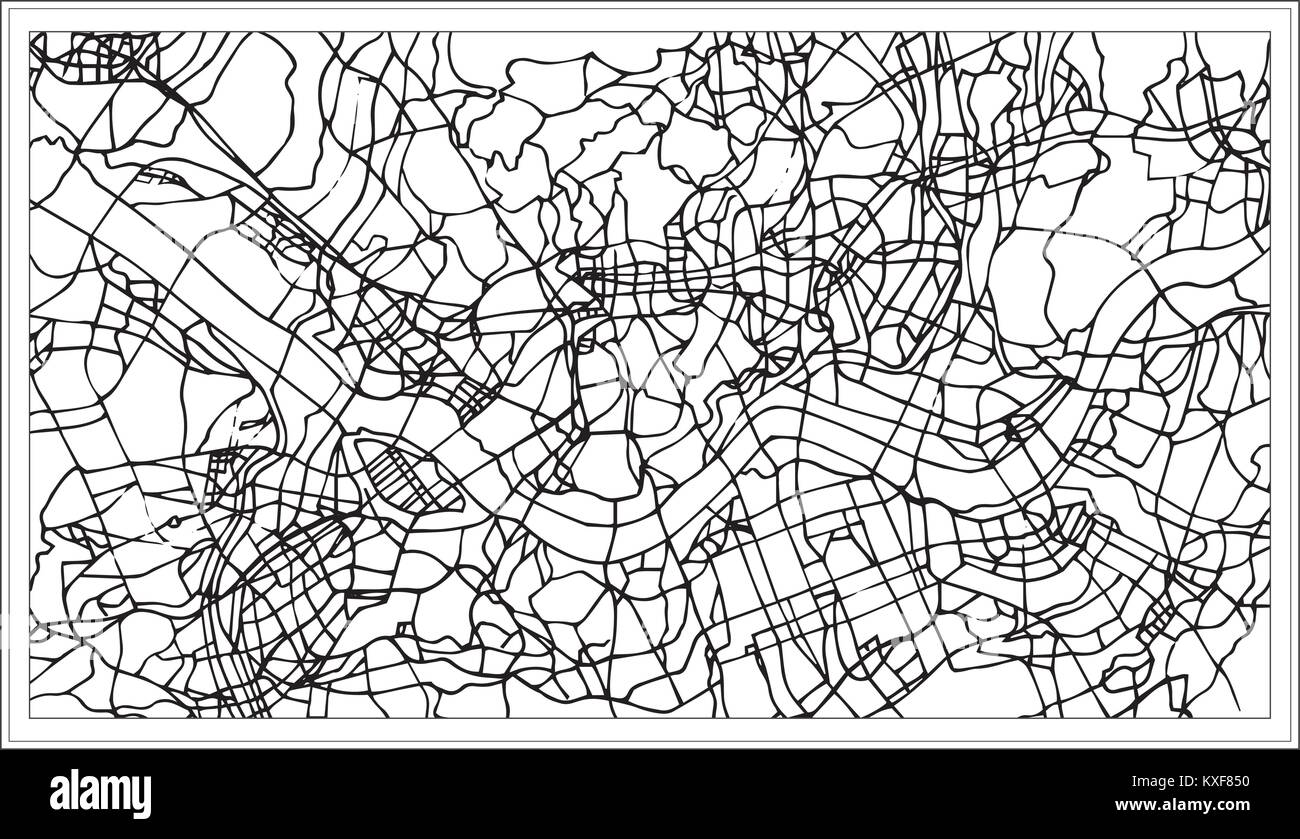 Seoul Korea City Map in Black and White Color. Vector Illustration. Outline Map. Stock Vectorhttps://www.alamy.com/image-license-details/?v=1https://www.alamy.com/stock-photo-seoul-korea-city-map-in-black-and-white-color-vector-illustration-171210060.html
RFKXF850–Seoul Korea City Map in Black and White Color. Vector Illustration. Outline Map.
 North Korea country map vector illustration symbol design Stock Vectorhttps://www.alamy.com/image-license-details/?v=1https://www.alamy.com/north-korea-country-map-vector-illustration-symbol-design-image602860940.html
RF2X0PK7T–North Korea country map vector illustration symbol design
 South Korea, country, dotted map on white background. Vector illustration. Stock Vectorhttps://www.alamy.com/image-license-details/?v=1https://www.alamy.com/south-korea-country-dotted-map-on-white-background-vector-illustration-image380628711.html
RF2D373PF–South Korea, country, dotted map on white background. Vector illustration.
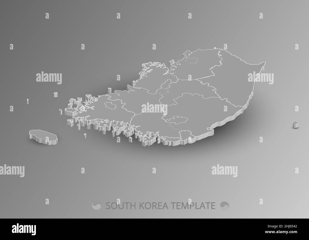 Isometric South Korea map. Korea map with border vector template. Shadow grey background. Stock Vectorhttps://www.alamy.com/image-license-details/?v=1https://www.alamy.com/isometric-south-korea-map-korea-map-with-border-vector-template-shadow-grey-background-image458851794.html
RF2HJEE42–Isometric South Korea map. Korea map with border vector template. Shadow grey background.
RF2TAGKH1–South Korea map silhouette from black square pixels. Vector illustration.
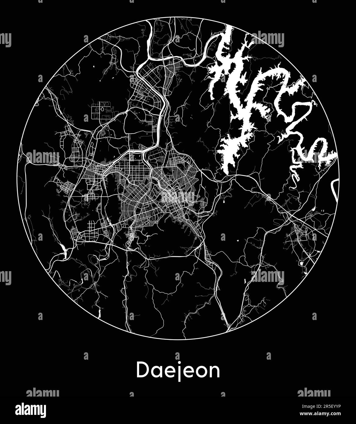 City Map Daejeon South Korea Asia vector illustration Stock Vectorhttps://www.alamy.com/image-license-details/?v=1https://www.alamy.com/city-map-daejeon-south-korea-asia-vector-illustration-image554134330.html
RF2R5EYYP–City Map Daejeon South Korea Asia vector illustration
RF2RFFHJB–south korea map icon vector illustration design
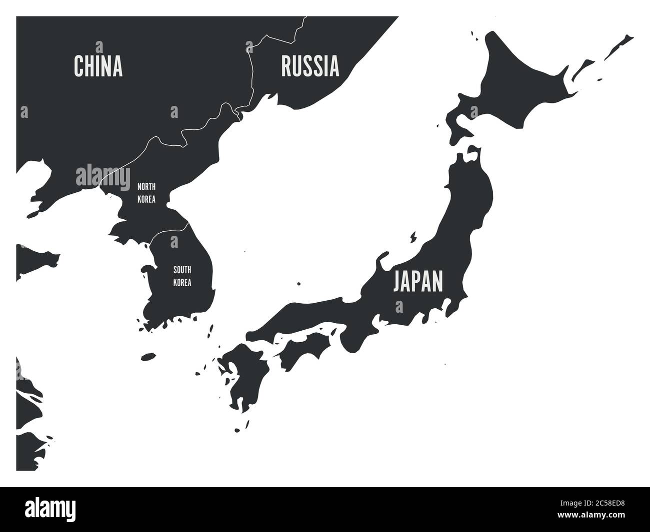 Political map of Korean and Japanese region, South Korea, North Korea and Japan. Map with labeling on white background. Vector illustration. Stock Vectorhttps://www.alamy.com/image-license-details/?v=1https://www.alamy.com/political-map-of-korean-and-japanese-region-south-korea-north-korea-and-japan-map-with-labeling-on-white-background-vector-illustration-image364677972.html
RF2C58ED8–Political map of Korean and Japanese region, South Korea, North Korea and Japan. Map with labeling on white background. Vector illustration.
 Map of South Korea - outline. Silhouette of South Korea map illustration Stock Photohttps://www.alamy.com/image-license-details/?v=1https://www.alamy.com/map-of-south-korea-outline-silhouette-of-south-korea-map-illustration-image233959811.html
RFRGHP3F–Map of South Korea - outline. Silhouette of South Korea map illustration
 South Korea map. Blank vector map of the Country. Borders of South Korea for your infographic. Vector illustration. Stock Vectorhttps://www.alamy.com/image-license-details/?v=1https://www.alamy.com/south-korea-map-blank-vector-map-of-the-country-borders-of-south-korea-for-your-infographic-vector-illustration-image550454535.html
RF2PYFAAF–South Korea map. Blank vector map of the Country. Borders of South Korea for your infographic. Vector illustration.
 Chungcheongnam South Korea Map grey Stock Photohttps://www.alamy.com/image-license-details/?v=1https://www.alamy.com/stock-image-chungcheongnam-south-korea-map-grey-169172288.html
RFKR6CYC–Chungcheongnam South Korea Map grey
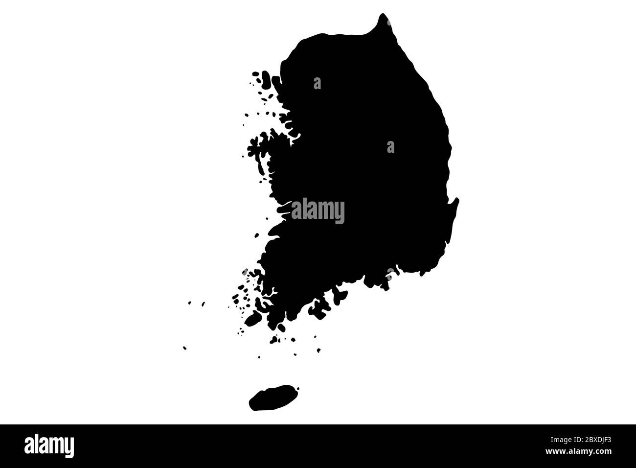 South Korea map with gray tone on white background,illustration,textured , Symbols of South Korea,vector illustration Stock Vectorhttps://www.alamy.com/image-license-details/?v=1https://www.alamy.com/south-korea-map-with-gray-tone-on-white-backgroundillustrationtextured-symbols-of-south-koreavector-illustration-image360488327.html
RF2BXDJF3–South Korea map with gray tone on white background,illustration,textured , Symbols of South Korea,vector illustration
 The Korean Peninsula Tiger and the dividing line Stock Vectorhttps://www.alamy.com/image-license-details/?v=1https://www.alamy.com/the-korean-peninsula-tiger-and-the-dividing-line-image501680756.html
RF2M45EWT–The Korean Peninsula Tiger and the dividing line
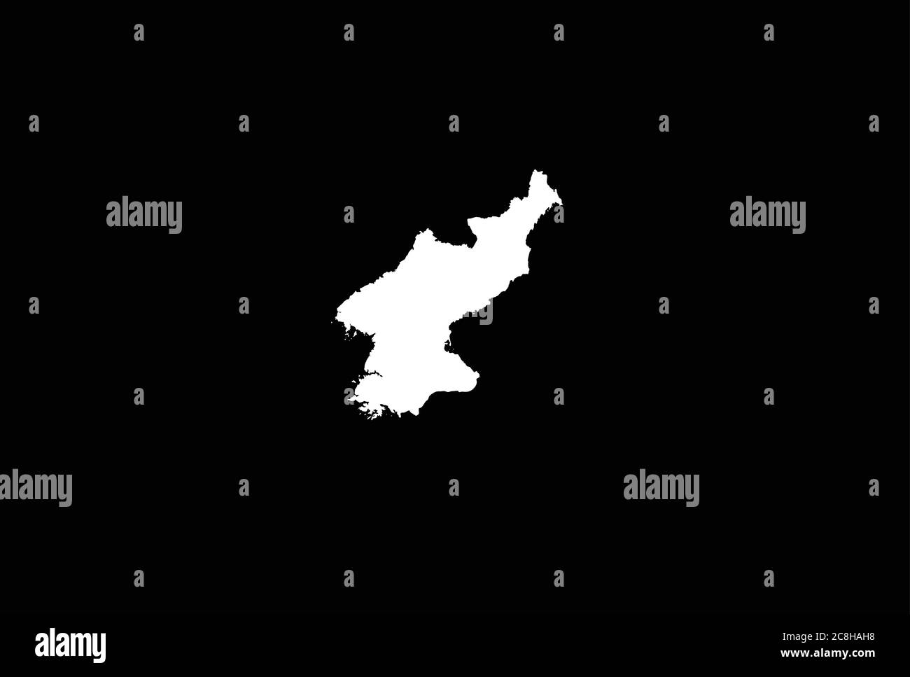 North Korea map outline vector illustration Stock Vectorhttps://www.alamy.com/image-license-details/?v=1https://www.alamy.com/north-korea-map-outline-vector-illustration-image366716484.html
RF2C8HAH8–North Korea map outline vector illustration
RF2MA63H3–north korea map icon vector illustration symbol design
 KOREA ANGLICAN CHURCH MISSION STATIONS: Protestant Ecclestiastical, 1897 map Stock Photohttps://www.alamy.com/image-license-details/?v=1https://www.alamy.com/stock-photo-korea-anglican-church-mission-stations-protestant-ecclestiastical-102610256.html
RFFXX8C0–KOREA ANGLICAN CHURCH MISSION STATIONS: Protestant Ecclestiastical, 1897 map
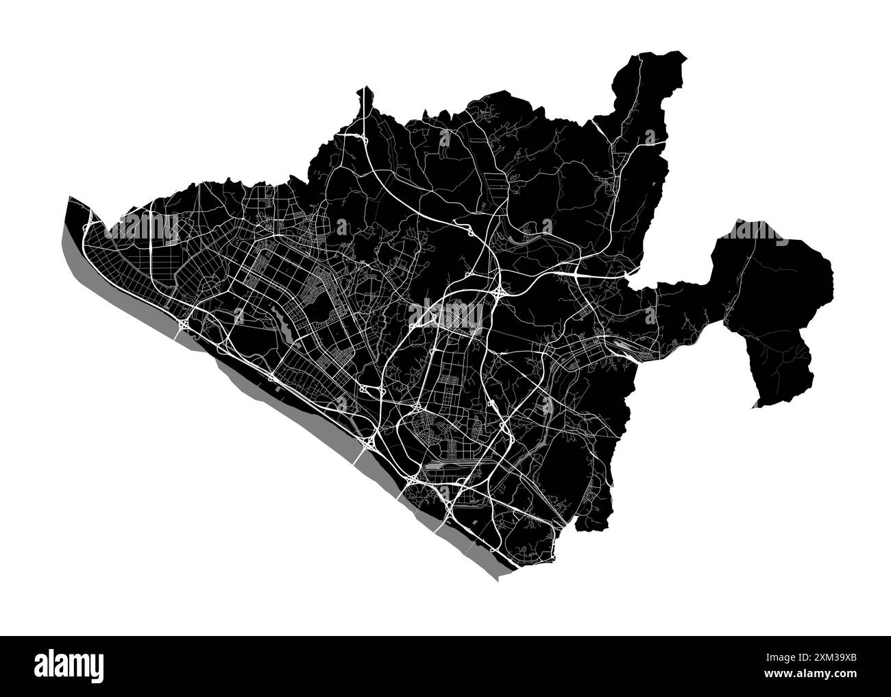 Map of Goyang, South Korea. Detailed city vector map, metropolitan area with border. Black and white streetmap with roads and water. Stock Vectorhttps://www.alamy.com/image-license-details/?v=1https://www.alamy.com/map-of-goyang-south-korea-detailed-city-vector-map-metropolitan-area-with-border-black-and-white-streetmap-with-roads-and-water-image614729651.html
RF2XM39XB–Map of Goyang, South Korea. Detailed city vector map, metropolitan area with border. Black and white streetmap with roads and water.
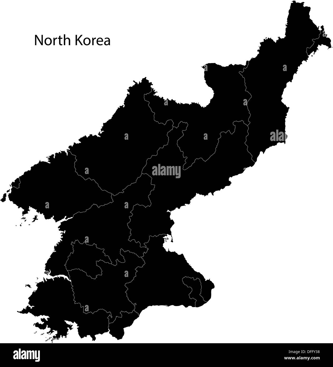 Black North Korea map Stock Photohttps://www.alamy.com/image-license-details/?v=1https://www.alamy.com/black-north-korea-map-image61201484.html
RFDFFY38–Black North Korea map
 North Korea map silhouette isolated on white background Stock Vectorhttps://www.alamy.com/image-license-details/?v=1https://www.alamy.com/north-korea-map-silhouette-isolated-on-white-background-image546327343.html
RF2PMRA2R–North Korea map silhouette isolated on white background
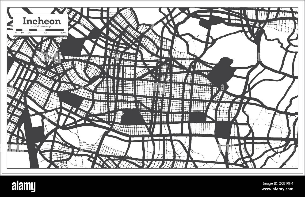 Incheon South Korea City Map in Black and White Color in Retro Style. Outline Map. Vector Illustration. Stock Vectorhttps://www.alamy.com/image-license-details/?v=1https://www.alamy.com/incheon-south-korea-city-map-in-black-and-white-color-in-retro-style-outline-map-vector-illustration-image368201376.html
RF2CB10H4–Incheon South Korea City Map in Black and White Color in Retro Style. Outline Map. Vector Illustration.
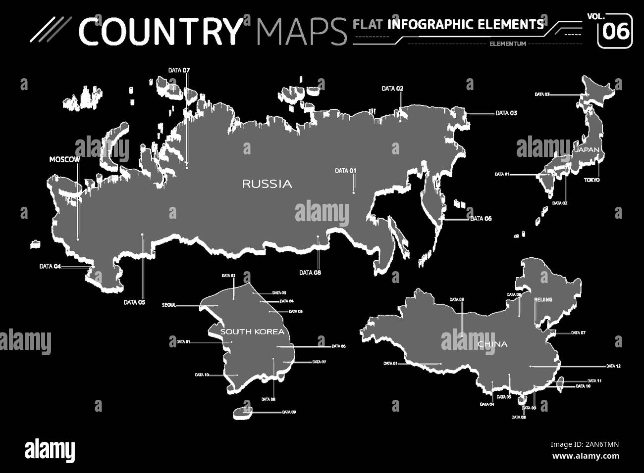 Russia, Japan, China and South Korea Vector Maps Stock Vectorhttps://www.alamy.com/image-license-details/?v=1https://www.alamy.com/russia-japan-china-and-south-korea-vector-maps-image340055877.html
RF2AN6TMN–Russia, Japan, China and South Korea Vector Maps
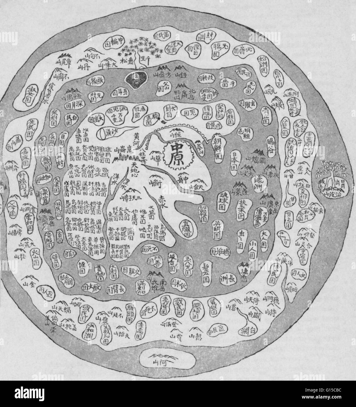 Korean world map, 17th-18th century. Stock Photohttps://www.alamy.com/image-license-details/?v=1https://www.alamy.com/stock-photo-korean-world-map-17th-18th-century-103996352.html
RMG15CBC–Korean world map, 17th-18th century.
 A contour map of North Korea. Vector graphic illustration on a transparent background with black country's borders Stock Vectorhttps://www.alamy.com/image-license-details/?v=1https://www.alamy.com/a-contour-map-of-north-korea-vector-graphic-illustration-on-a-transparent-background-with-black-countrys-borders-image631456524.html
RF2YK996M–A contour map of North Korea. Vector graphic illustration on a transparent background with black country's borders
 North Korea map silhouette from black pattern mosaic structure of squares. Vector illustration. Stock Vectorhttps://www.alamy.com/image-license-details/?v=1https://www.alamy.com/north-korea-map-silhouette-from-black-pattern-mosaic-structure-of-squares-vector-illustration-image574454820.html
RF2TAGJYG–North Korea map silhouette from black pattern mosaic structure of squares. Vector illustration.
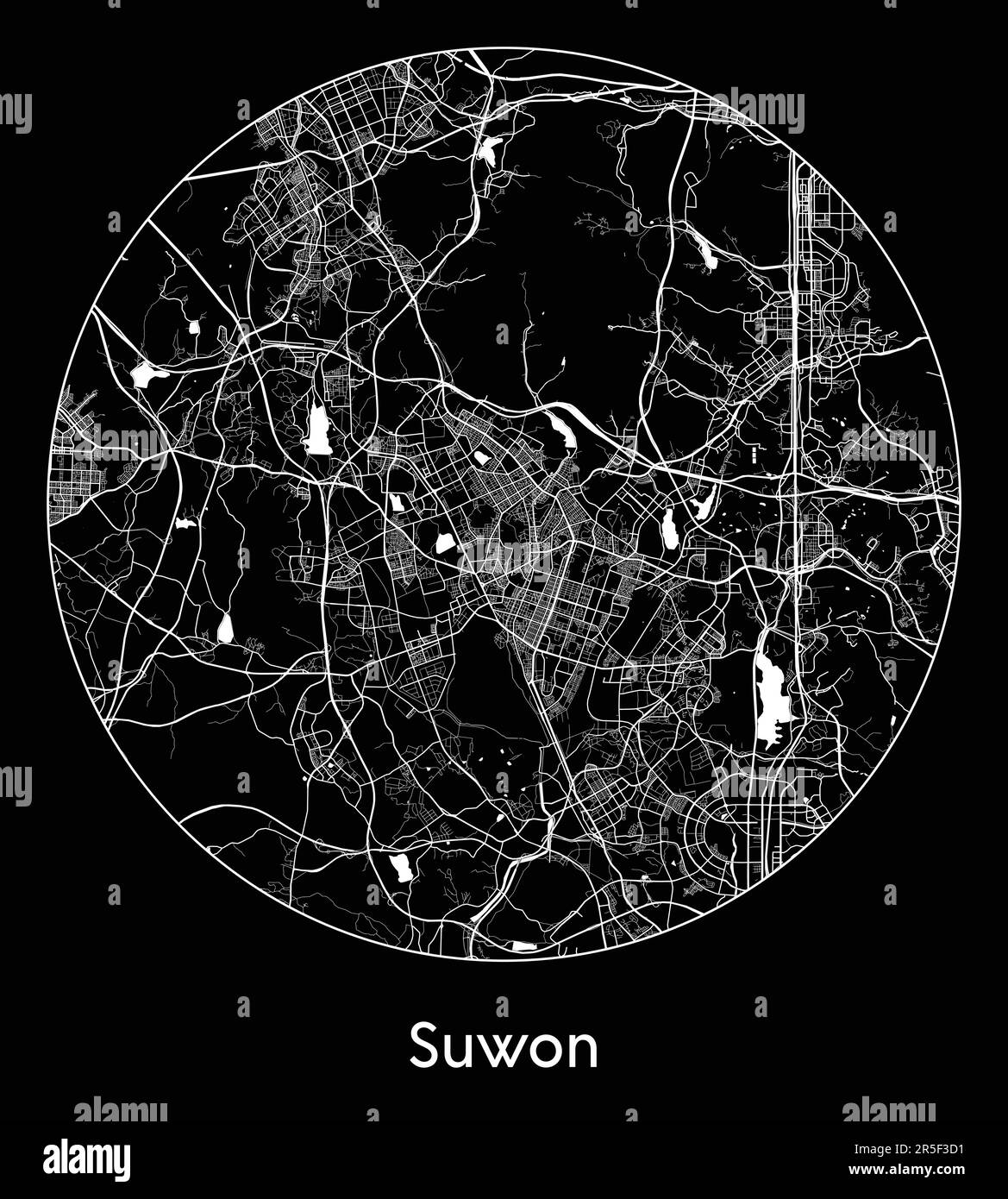 City Map Suwon South Korea Asia vector illustration Stock Vectorhttps://www.alamy.com/image-license-details/?v=1https://www.alamy.com/city-map-suwon-south-korea-asia-vector-illustration-image554137053.html
RF2R5F3D1–City Map Suwon South Korea Asia vector illustration
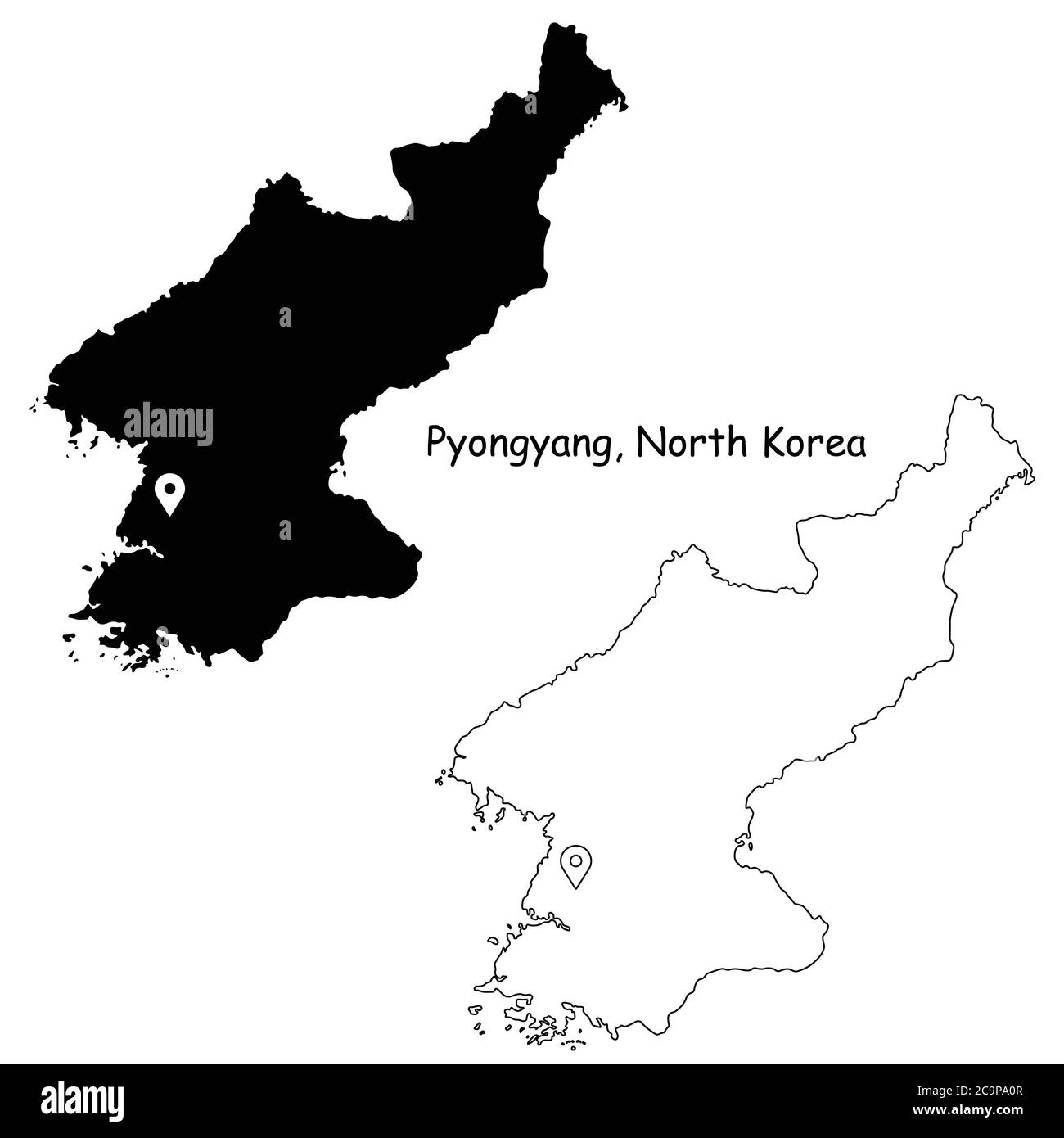 Pyongyang North Korea. Detailed Country Map with Location Pin on Capital City. Black silhouette and outline maps isolated on white background. EPS Vec Stock Vectorhttps://www.alamy.com/image-license-details/?v=1https://www.alamy.com/pyongyang-north-korea-detailed-country-map-with-location-pin-on-capital-city-black-silhouette-and-outline-maps-isolated-on-white-background-eps-vec-image367440439.html
RF2C9PA0R–Pyongyang North Korea. Detailed Country Map with Location Pin on Capital City. Black silhouette and outline maps isolated on white background. EPS Vec
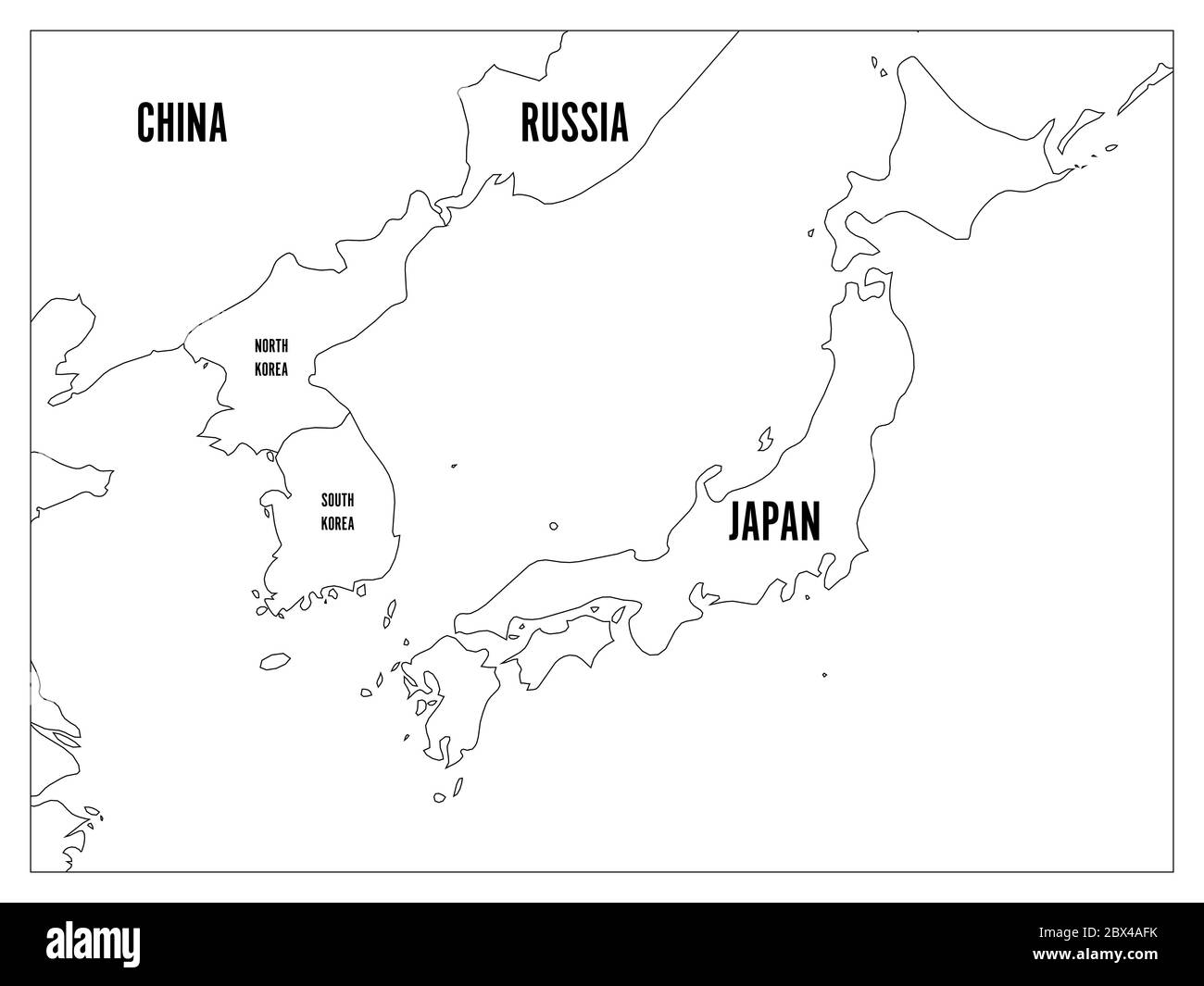 Political map of Korean and Japanese region, South Korea, North Korea and Japan. Black outline map with black labeling on white background. Vector illustration. Stock Vectorhttps://www.alamy.com/image-license-details/?v=1https://www.alamy.com/political-map-of-korean-and-japanese-region-south-korea-north-korea-and-japan-black-outline-map-with-black-labeling-on-white-background-vector-illustration-image360284503.html
RF2BX4AFK–Political map of Korean and Japanese region, South Korea, North Korea and Japan. Black outline map with black labeling on white background. Vector illustration.
 Map of North Korea - outline. Silhouette of North Korea map illustration Stock Photohttps://www.alamy.com/image-license-details/?v=1https://www.alamy.com/map-of-north-korea-outline-silhouette-of-north-korea-map-illustration-image233959673.html
RFRGHNXH–Map of North Korea - outline. Silhouette of North Korea map illustration
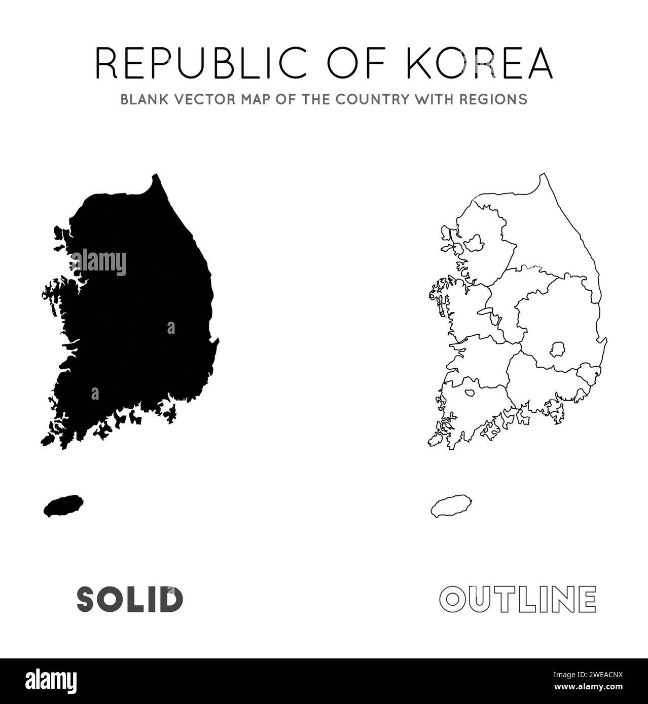 South Korea map. Blank vector map of the Country with regions. Borders of South Korea for your infographic. Vector illustration. Stock Vectorhttps://www.alamy.com/image-license-details/?v=1https://www.alamy.com/south-korea-map-blank-vector-map-of-the-country-with-regions-borders-of-south-korea-for-your-infographic-vector-illustration-image593987238.html
RF2WEACNX–South Korea map. Blank vector map of the Country with regions. Borders of South Korea for your infographic. Vector illustration.
 Chungcheongbuk South Korea Map grey Stock Photohttps://www.alamy.com/image-license-details/?v=1https://www.alamy.com/stock-image-chungcheongbuk-south-korea-map-grey-169172287.html
RFKR6CYB–Chungcheongbuk South Korea Map grey
 South Korea map with gray tone on png or transparent background,illustration,textured , Symbols of South Korea,vector illustration Stock Vectorhttps://www.alamy.com/image-license-details/?v=1https://www.alamy.com/south-korea-map-with-gray-tone-on-png-or-transparent-backgroundillustrationtextured-symbols-of-south-koreavector-illustration-image362148766.html
RF2C158CE–South Korea map with gray tone on png or transparent background,illustration,textured , Symbols of South Korea,vector illustration
 South Korea highlighted on a Bilevel elevation map with lakes and rivers Stock Photohttps://www.alamy.com/image-license-details/?v=1https://www.alamy.com/south-korea-highlighted-on-a-bilevel-elevation-map-with-lakes-and-rivers-image591694506.html
RF2WAJ0AJ–South Korea highlighted on a Bilevel elevation map with lakes and rivers
 South Korea map outline vector illustration Stock Vectorhttps://www.alamy.com/image-license-details/?v=1https://www.alamy.com/south-korea-map-outline-vector-illustration-image366717931.html
RF2C8HCCY–South Korea map outline vector illustration
RF2MA62CJ–north korea map icon vector illustration symbol design
 Ulleungdo korea island map silhouette region territory, black shape style illustration Stock Vectorhttps://www.alamy.com/image-license-details/?v=1https://www.alamy.com/ulleungdo-korea-island-map-silhouette-region-territory-black-shape-style-illustration-image568553715.html
RF2T0YT1R–Ulleungdo korea island map silhouette region territory, black shape style illustration
 Background Ulsan map, South Korea, white and light grey city poster. Vector map with roads and water. Widescreen proportion, digital flat design roadm Stock Vectorhttps://www.alamy.com/image-license-details/?v=1https://www.alamy.com/background-ulsan-map-south-korea-white-and-light-grey-city-poster-vector-map-with-roads-and-water-widescreen-proportion-digital-flat-design-roadm-image597318814.html
RF2WKP66P–Background Ulsan map, South Korea, white and light grey city poster. Vector map with roads and water. Widescreen proportion, digital flat design roadm
 Line map of South Korea vector stock illustration design template. Editable stroke. Vector eps 10. Stock Vectorhttps://www.alamy.com/image-license-details/?v=1https://www.alamy.com/line-map-of-south-korea-vector-stock-illustration-design-template-editable-stroke-vector-eps-10-image442895963.html
RF2GMFJ8Y–Line map of South Korea vector stock illustration design template. Editable stroke. Vector eps 10.
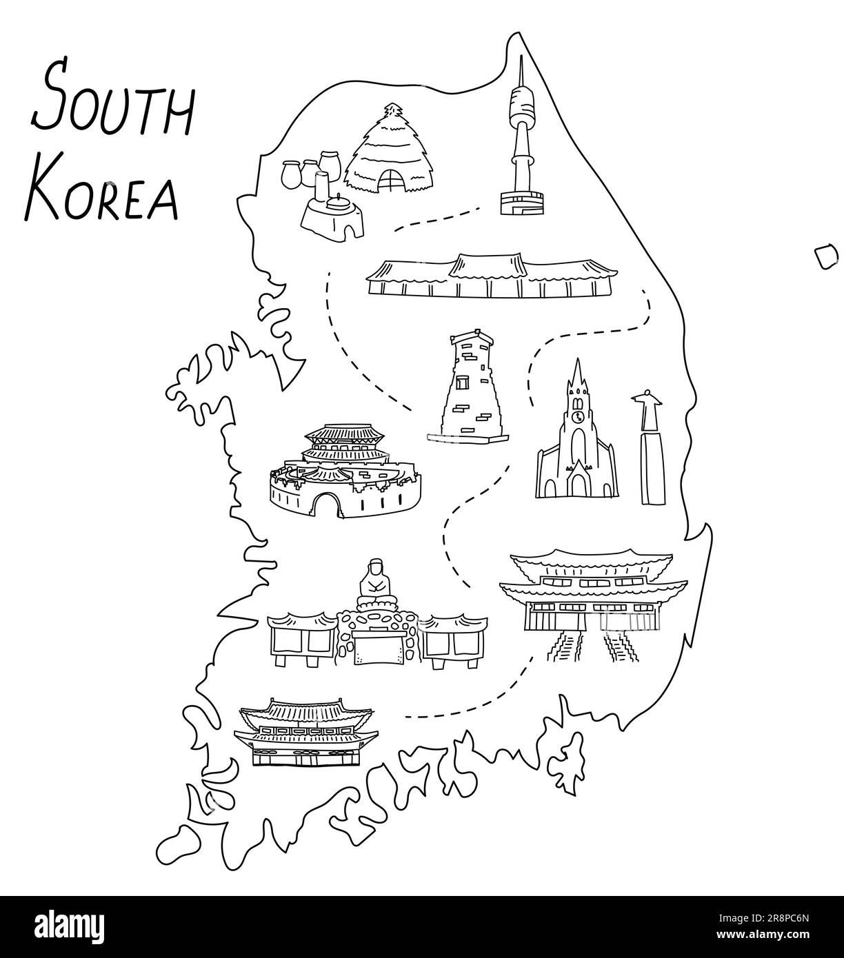 South Korea outline doodle illustrated map. The most famous Korean landmarks, temples and buildings. Hand drawn vector elements Stock Vectorhttps://www.alamy.com/image-license-details/?v=1https://www.alamy.com/south-korea-outline-doodle-illustrated-map-the-most-famous-korean-landmarks-temples-and-buildings-hand-drawn-vector-elements-image556141565.html
RF2R8PC6N–South Korea outline doodle illustrated map. The most famous Korean landmarks, temples and buildings. Hand drawn vector elements
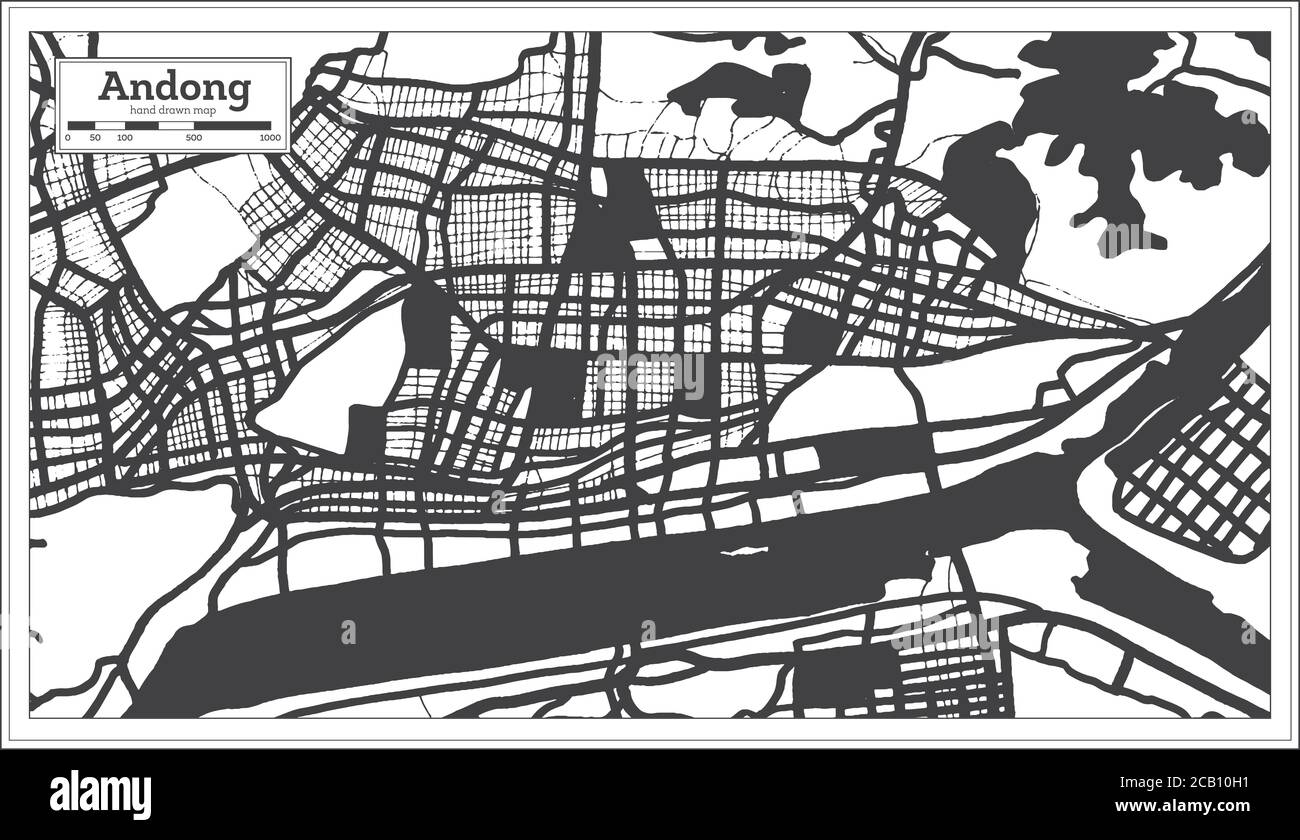 Andong South Korea City Map in Black and White Color in Retro Style. Outline Map. Vector Illustration. Stock Vectorhttps://www.alamy.com/image-license-details/?v=1https://www.alamy.com/andong-south-korea-city-map-in-black-and-white-color-in-retro-style-outline-map-vector-illustration-image368201373.html
RF2CB10H1–Andong South Korea City Map in Black and White Color in Retro Style. Outline Map. Vector Illustration.
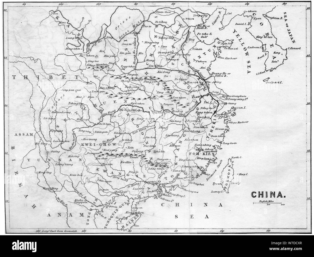 Map of China, 1847. Artist: Unknown Stock Photohttps://www.alamy.com/image-license-details/?v=1https://www.alamy.com/map-of-china-1847-artist-unknown-image262753647.html
RMW7DCXR–Map of China, 1847. Artist: Unknown
 Old map Korean Peninsula Stock Photohttps://www.alamy.com/image-license-details/?v=1https://www.alamy.com/old-map-korean-peninsula-image632065062.html
RF2YM91C6–Old map Korean Peninsula
 A contour map of South Korea. Vector graphic illustration on a transparent background with black country's borders Stock Vectorhttps://www.alamy.com/image-license-details/?v=1https://www.alamy.com/a-contour-map-of-south-korea-vector-graphic-illustration-on-a-transparent-background-with-black-countrys-borders-image631457616.html
RF2YK9AHM–A contour map of South Korea. Vector graphic illustration on a transparent background with black country's borders
 South Korea map silhouette from black pattern mosaic structure of squares. Vector illustration. Stock Vectorhttps://www.alamy.com/image-license-details/?v=1https://www.alamy.com/south-korea-map-silhouette-from-black-pattern-mosaic-structure-of-squares-vector-illustration-image574454656.html
RF2TAGJNM–South Korea map silhouette from black pattern mosaic structure of squares. Vector illustration.
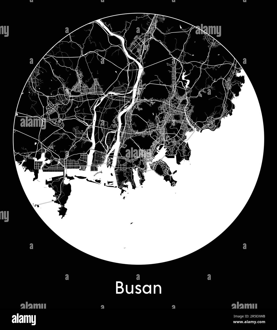 City Map Busan South Korea Asia vector illustration Stock Vectorhttps://www.alamy.com/image-license-details/?v=1https://www.alamy.com/city-map-busan-south-korea-asia-vector-illustration-image554133479.html
RF2R5EXWB–City Map Busan South Korea Asia vector illustration
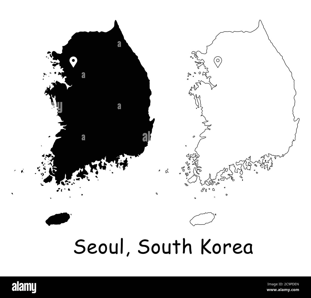 Seoul, South Korea. Detailed Country Map with Location Pin on Capital City. Black silhouette and outline maps isolated on white background. EPS Vector Stock Vectorhttps://www.alamy.com/image-license-details/?v=1https://www.alamy.com/seoul-south-korea-detailed-country-map-with-location-pin-on-capital-city-black-silhouette-and-outline-maps-isolated-on-white-background-eps-vector-image367443181.html
RF2C9PDEN–Seoul, South Korea. Detailed Country Map with Location Pin on Capital City. Black silhouette and outline maps isolated on white background. EPS Vector
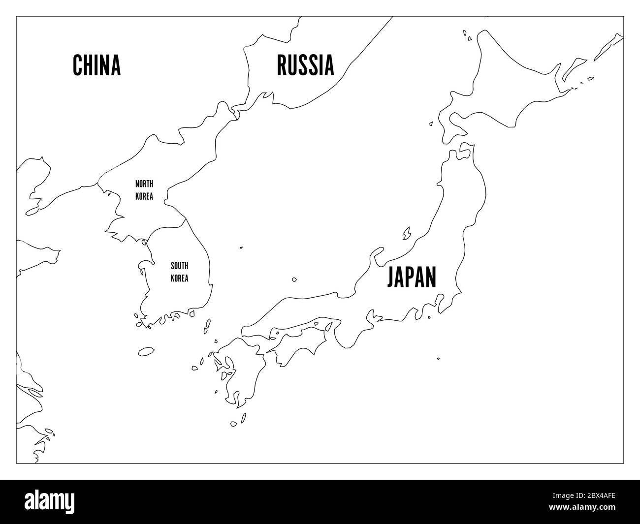 Political map of Korean and Japanese region, South Korea, North Korea and Japan. Black outline map with black labeling on white background. Vector illustration. Stock Vectorhttps://www.alamy.com/image-license-details/?v=1https://www.alamy.com/political-map-of-korean-and-japanese-region-south-korea-north-korea-and-japan-black-outline-map-with-black-labeling-on-white-background-vector-illustration-image360284498.html
RF2BX4AFE–Political map of Korean and Japanese region, South Korea, North Korea and Japan. Black outline map with black labeling on white background. Vector illustration.
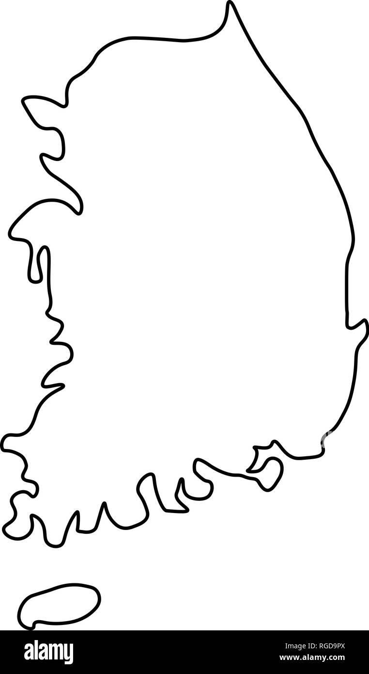 Map of South Korea - outline. Silhouette of South Korea map vector illustration Stock Vectorhttps://www.alamy.com/image-license-details/?v=1https://www.alamy.com/map-of-south-korea-outline-silhouette-of-south-korea-map-vector-illustration-image233862354.html
RFRGD9PX–Map of South Korea - outline. Silhouette of South Korea map vector illustration
 North Korea map. Blank vector map of the Country with regions. Borders of North Korea for your infographic. Vector illustration. Stock Vectorhttps://www.alamy.com/image-license-details/?v=1https://www.alamy.com/north-korea-map-blank-vector-map-of-the-country-with-regions-borders-of-north-korea-for-your-infographic-vector-illustration-image515523230.html
RF2MXM33X–North Korea map. Blank vector map of the Country with regions. Borders of North Korea for your infographic. Vector illustration.
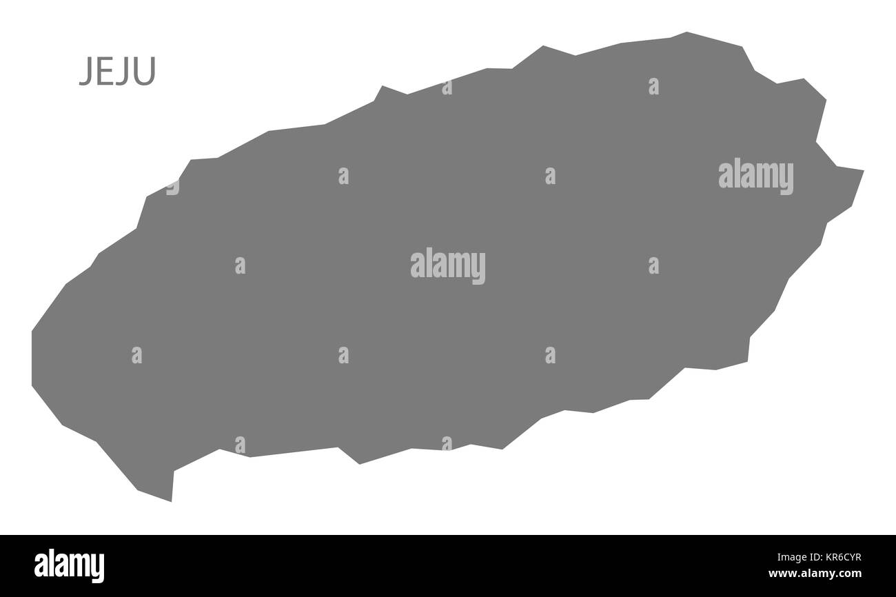 Jeju South Korea Map grey Stock Photohttps://www.alamy.com/image-license-details/?v=1https://www.alamy.com/stock-image-jeju-south-korea-map-grey-169172299.html
RFKR6CYR–Jeju South Korea Map grey
 North Korea map with gray tone on white background,illustration,textured , Symbols of North Korea,vector illustration Stock Vectorhttps://www.alamy.com/image-license-details/?v=1https://www.alamy.com/north-korea-map-with-gray-tone-on-white-backgroundillustrationtextured-symbols-of-north-koreavector-illustration-image360479593.html
RF2BXD7B5–North Korea map with gray tone on white background,illustration,textured , Symbols of North Korea,vector illustration