Quick filters:
Landkarte Stock Photos and Images
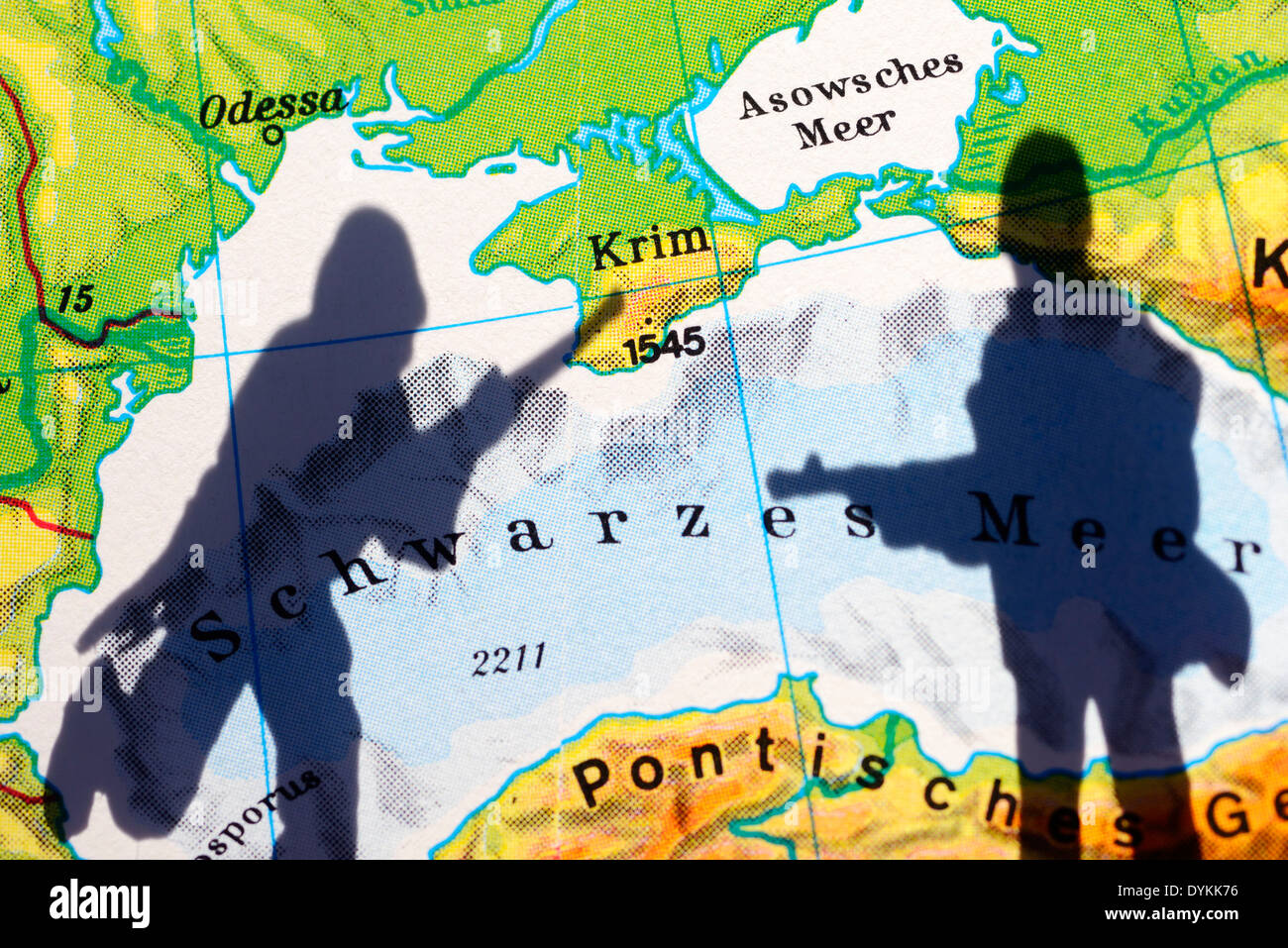 Die Krim auf einer Landkarte und Schatten eines Soldaten, Krim-Krise Stock Photohttps://www.alamy.com/image-license-details/?v=1https://www.alamy.com/die-krim-auf-einer-landkarte-und-schatten-eines-soldaten-krim-krise-image68659002.html
RMDYKK76–Die Krim auf einer Landkarte und Schatten eines Soldaten, Krim-Krise
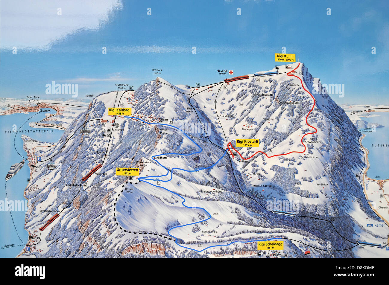 Landkarte Winter Stock Photohttps://www.alamy.com/image-license-details/?v=1https://www.alamy.com/stock-photo-landkarte-winter-56976207.html
RMD8KDMF–Landkarte Winter
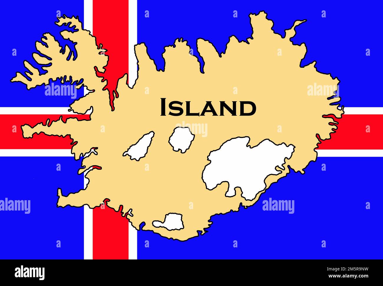 Flagge von Island / flag of iceland / Flagge von Island mit Landkarte / iceland flag with map Stock Photohttps://www.alamy.com/image-license-details/?v=1https://www.alamy.com/flagge-von-island-flag-of-iceland-flagge-von-island-mit-landkarte-iceland-flag-with-map-image502686517.html
RF2M5R9NW–Flagge von Island / flag of iceland / Flagge von Island mit Landkarte / iceland flag with map
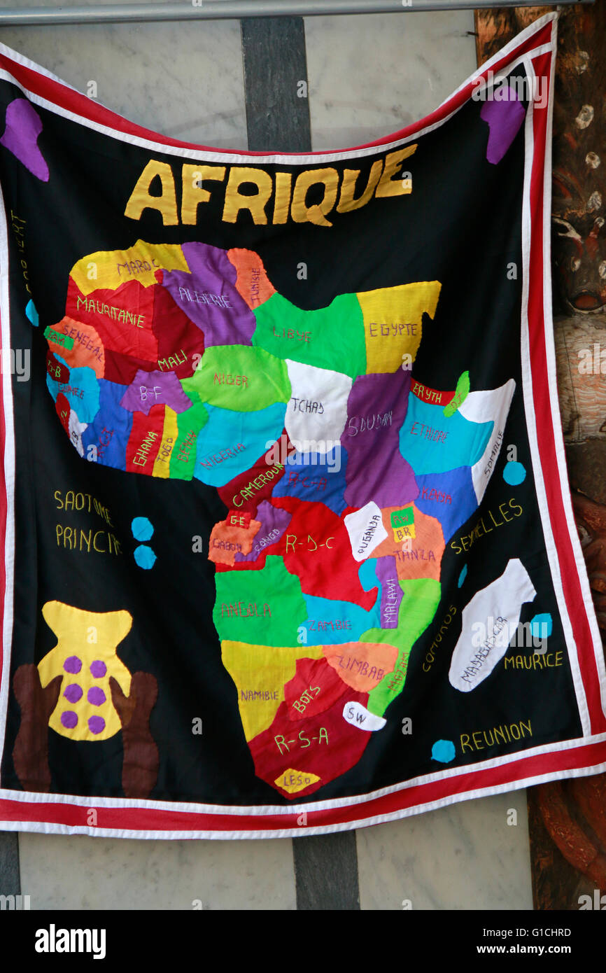 Afrika Fahne. Stock Photohttps://www.alamy.com/image-license-details/?v=1https://www.alamy.com/stock-photo-afrika-fahne-104154273.html
RMG1CHRD–Afrika Fahne.
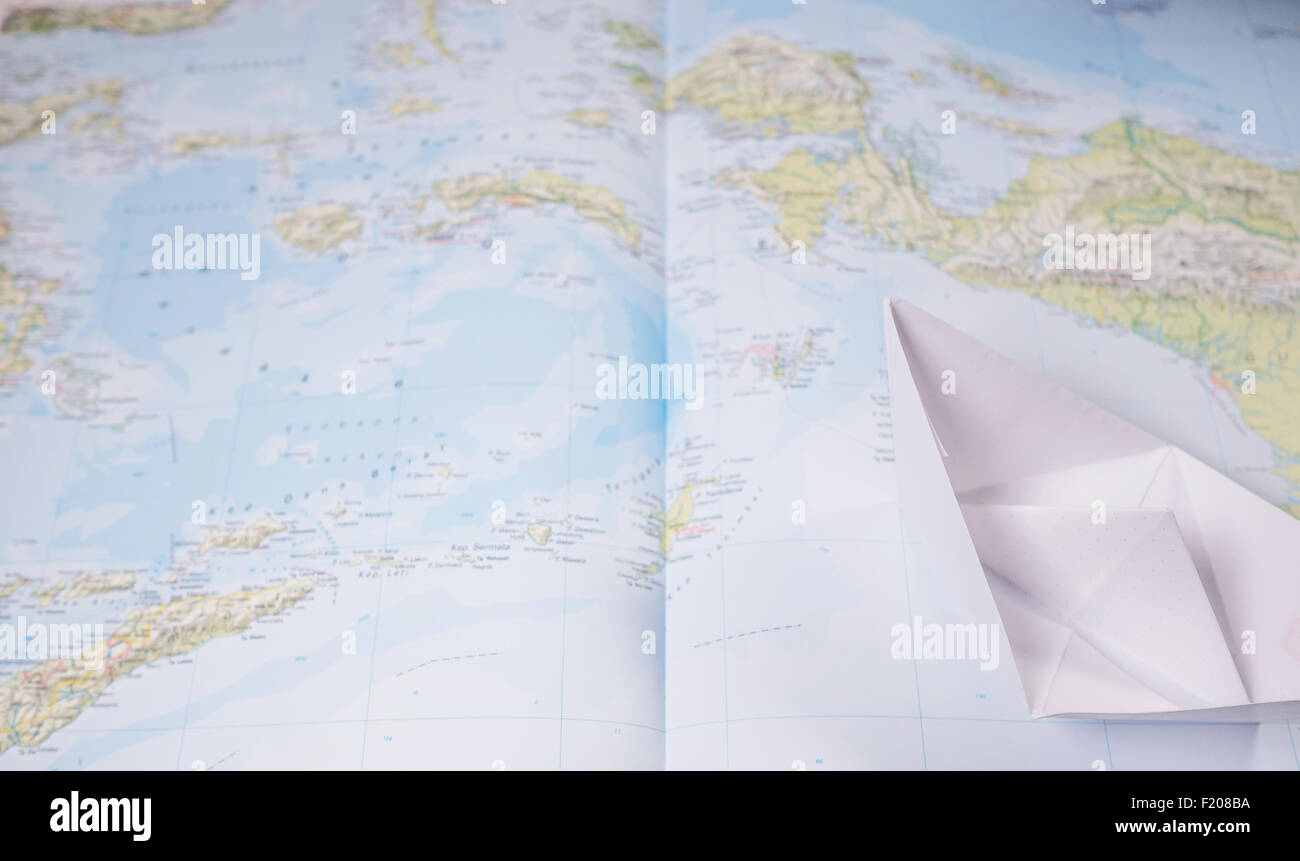 Papierboot auf einer Landkart Stock Photohttps://www.alamy.com/image-license-details/?v=1https://www.alamy.com/stock-photo-papierboot-auf-einer-landkart-87287742.html
RFF208BA–Papierboot auf einer Landkart
 Landkarte, Weißmainquelle, Ochsenkopf, Fichtelgebirge, Oberfranken, Bayern, Deutschland Stock Photohttps://www.alamy.com/image-license-details/?v=1https://www.alamy.com/landkarte-weimainquelle-ochsenkopf-fichtelgebirge-oberfranken-bayern-deutschland-image345803158.html
RM2B2GKCP–Landkarte, Weißmainquelle, Ochsenkopf, Fichtelgebirge, Oberfranken, Bayern, Deutschland
 Tourist information in Porto Cristo, Mallorca. Stock Photohttps://www.alamy.com/image-license-details/?v=1https://www.alamy.com/tourist-information-in-porto-cristo-mallorca-image598289543.html
RF2WNACBK–Tourist information in Porto Cristo, Mallorca.
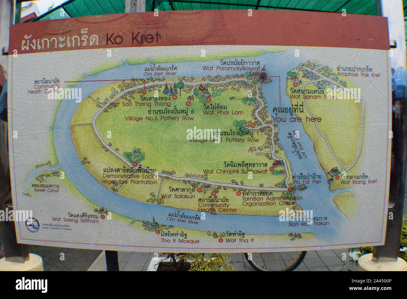 Landkrate Ko Kret Stock Photohttps://www.alamy.com/image-license-details/?v=1https://www.alamy.com/landkrate-ko-kret-image329565398.html
RF2A4500P–Landkrate Ko Kret
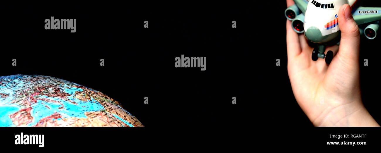 nachts mit dem Flugzeug zur Urlaubsreise starten. Blauer Erdkunde Globus als Planet vor schwarzem Hintergrund Panorama. Stock Photohttps://www.alamy.com/image-license-details/?v=1https://www.alamy.com/nachts-mit-dem-flugzeug-zur-urlaubsreise-starten-blauer-erdkunde-globus-als-planet-vor-schwarzem-hintergrund-panorama-image233805951.html
RFRGANTF–nachts mit dem Flugzeug zur Urlaubsreise starten. Blauer Erdkunde Globus als Planet vor schwarzem Hintergrund Panorama.
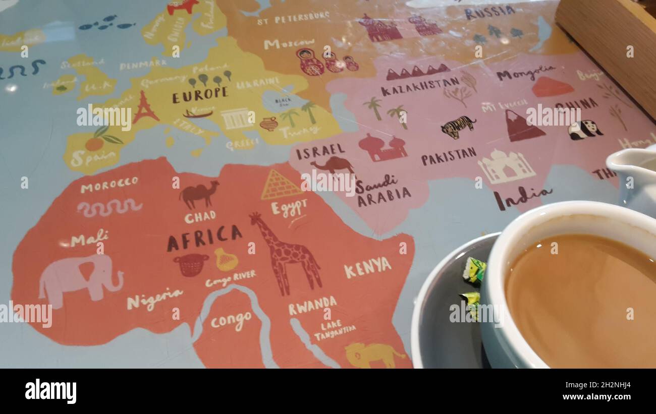 Kaffeepause am Flughafen London Heathrow Stock Photohttps://www.alamy.com/image-license-details/?v=1https://www.alamy.com/kaffeepause-am-flughafen-london-heathrow-image449173708.html
RM2H2NHJ4–Kaffeepause am Flughafen London Heathrow
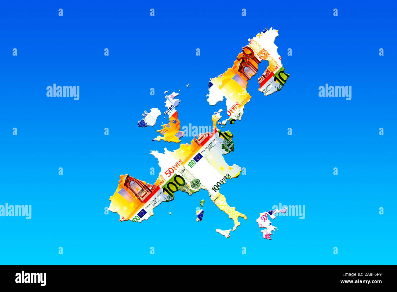 Landkarte von Europa aus Euroscheinen Stock Photohttps://www.alamy.com/image-license-details/?v=1https://www.alamy.com/landkarte-von-europa-aus-euroscheinen-image332248849.html
RM2A8F6P9–Landkarte von Europa aus Euroscheinen
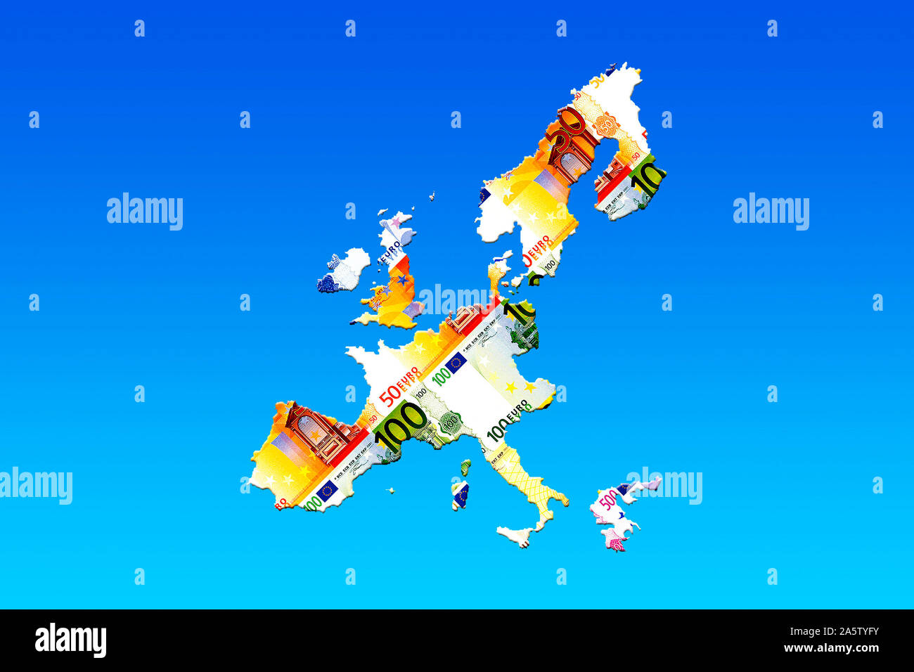 Landkarte von Europa aus Euroscheinen Stock Photohttps://www.alamy.com/image-license-details/?v=1https://www.alamy.com/landkarte-von-europa-aus-euroscheinen-image330618735.html
RF2A5TYFY–Landkarte von Europa aus Euroscheinen
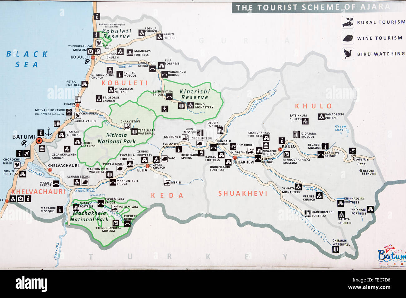 Georgien, Adscharien, touristische Landkarte Stock Photohttps://www.alamy.com/image-license-details/?v=1https://www.alamy.com/stock-photo-georgien-adscharien-touristische-landkarte-93082340.html
RMFBC7D8–Georgien, Adscharien, touristische Landkarte
 Lupe mit Landkarte Stock Photohttps://www.alamy.com/image-license-details/?v=1https://www.alamy.com/lupe-mit-landkarte-image333840507.html
RM2AB3MY7–Lupe mit Landkarte
 Spielzeugflugzeug mit Impfpass auf einer Landkarte Toy airplane with vaccination card on a map Stock Photohttps://www.alamy.com/image-license-details/?v=1https://www.alamy.com/spielzeugflugzeug-mit-impfpass-auf-einer-landkarte-toy-airplane-with-vaccination-card-on-a-map-image358048107.html
RF2BPEE0B–Spielzeugflugzeug mit Impfpass auf einer Landkarte Toy airplane with vaccination card on a map
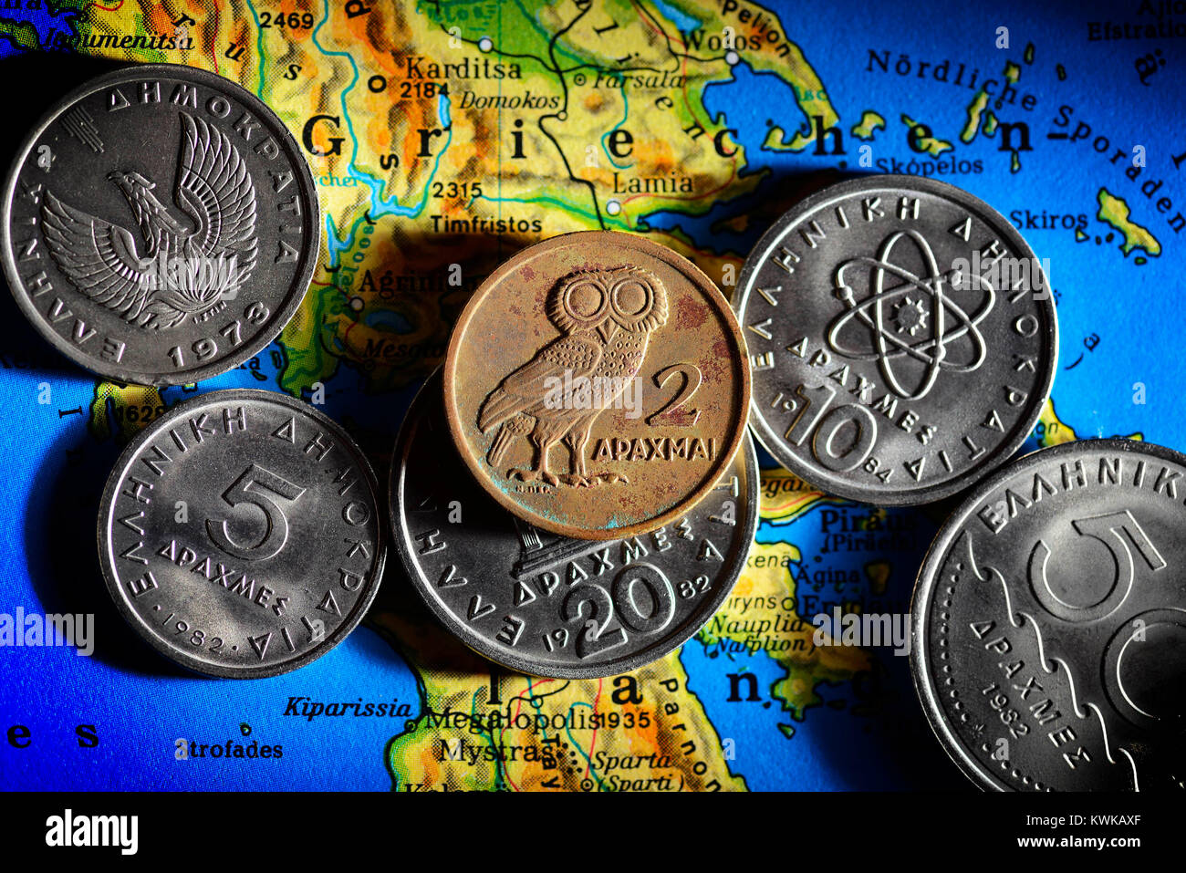 Greek drachms on map, Griechische Drachmen auf Landkarte Stock Photohttps://www.alamy.com/image-license-details/?v=1https://www.alamy.com/stock-photo-greek-drachms-on-map-griechische-drachmen-auf-landkarte-170685383.html
RMKWKAXF–Greek drachms on map, Griechische Drachmen auf Landkarte
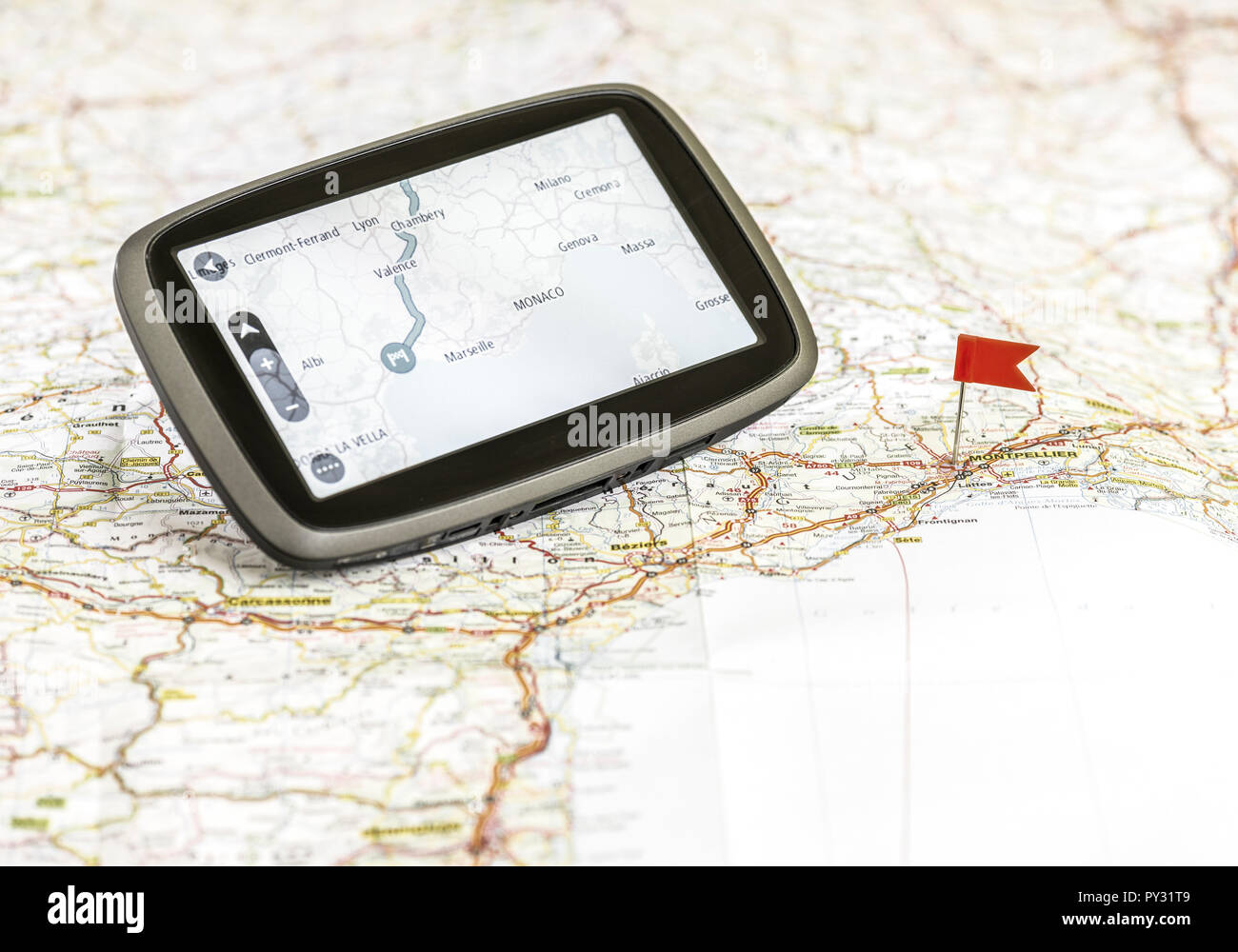 Navigationsgeraet auf einer Landkarte Stock Photohttps://www.alamy.com/image-license-details/?v=1https://www.alamy.com/navigationsgeraet-auf-einer-landkarte-image223187449.html
RMPY31T9–Navigationsgeraet auf einer Landkarte
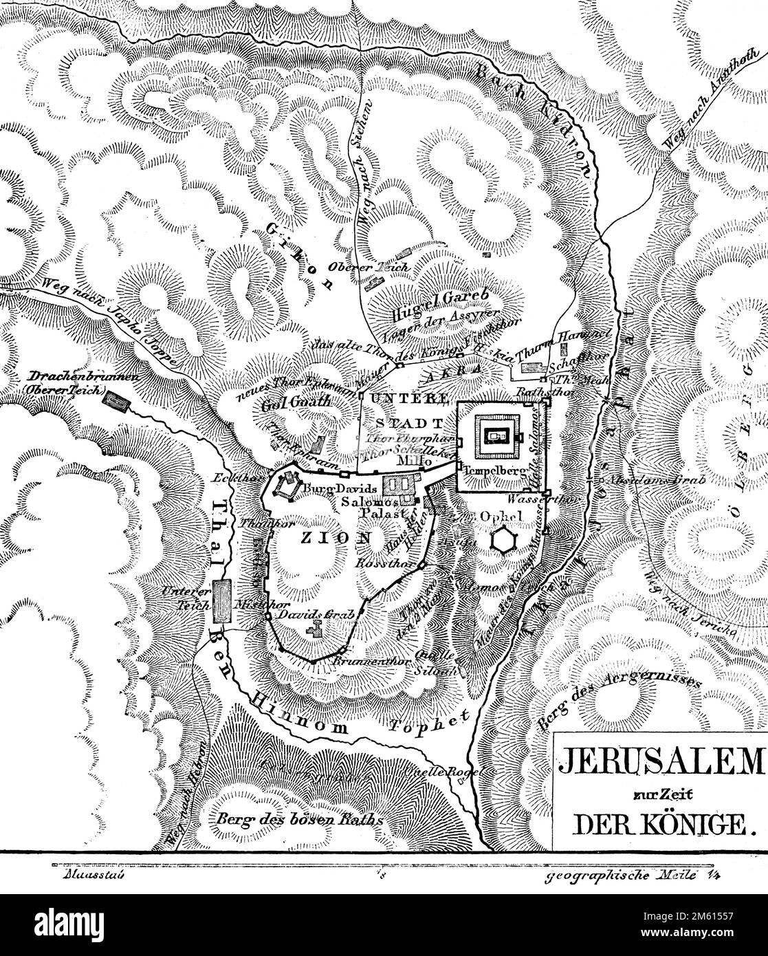 Jerusalem zur Zeit der Könige, Landkarte, Bible, Old Testament, Second Book of Samuel, historical illustration 1850 Stock Photohttps://www.alamy.com/image-license-details/?v=1https://www.alamy.com/jerusalem-zur-zeit-der-knige-landkarte-bible-old-testament-second-book-of-samuel-historical-illustration-1850-image502814627.html
RM2M61557–Jerusalem zur Zeit der Könige, Landkarte, Bible, Old Testament, Second Book of Samuel, historical illustration 1850
 Monreal: Landkarte fuer den Eifel-Traumpfad 'Monrealer Ritterschlag', Eifel | usage worldwide Stock Photohttps://www.alamy.com/image-license-details/?v=1https://www.alamy.com/monreal-landkarte-fuer-den-eifel-traumpfad-monrealer-ritterschlag-eifel-usage-worldwide-image338804772.html
RM2AK5TXC–Monreal: Landkarte fuer den Eifel-Traumpfad 'Monrealer Ritterschlag', Eifel | usage worldwide
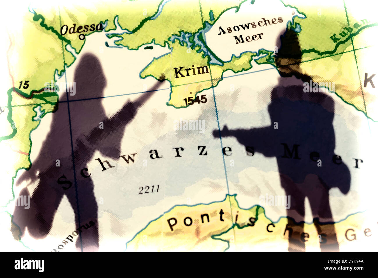 Die Krim auf einer Landkarte und Schatten eines Soldaten, Krim-Krise Stock Photohttps://www.alamy.com/image-license-details/?v=1https://www.alamy.com/die-krim-auf-einer-landkarte-und-schatten-eines-soldaten-krim-krise-image68665194.html
RMDYKY4A–Die Krim auf einer Landkarte und Schatten eines Soldaten, Krim-Krise
 Ziel suchen auf einer Landkarte in den Bergen Stock Photohttps://www.alamy.com/image-license-details/?v=1https://www.alamy.com/stock-photo-ziel-suchen-auf-einer-landkarte-in-den-bergen-82580494.html
RFEP9T7A–Ziel suchen auf einer Landkarte in den Bergen
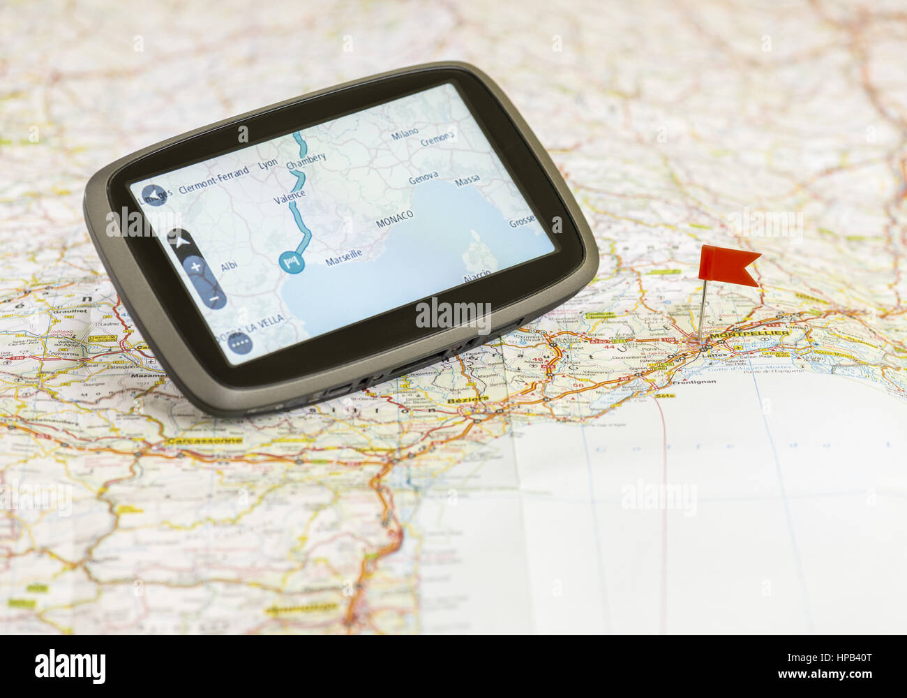 Navigationsgeraet auf einer Landkarte Stock Photohttps://www.alamy.com/image-license-details/?v=1https://www.alamy.com/stock-photo-navigationsgeraet-auf-einer-landkarte-134239640.html
RMHPB40T–Navigationsgeraet auf einer Landkarte
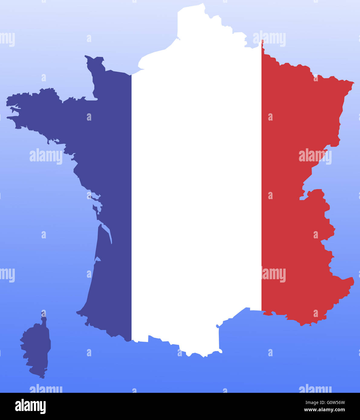 Symbolbild: Frankreich: Laenderumriss mit Flagge/ symbolic image: France: outline and flag. Stock Photohttps://www.alamy.com/image-license-details/?v=1https://www.alamy.com/stock-photo-symbolbild-frankreich-laenderumriss-mit-flagge-symbolic-image-france-103815121.html
RFG0W56W–Symbolbild: Frankreich: Laenderumriss mit Flagge/ symbolic image: France: outline and flag.
 Landkarte von Afrika im Jahre 1884, Historisch, digital restaurierte Reproduktion von einer Vorlage aus dem 19. Jahrhundert, um 1890, Record date not Stock Photohttps://www.alamy.com/image-license-details/?v=1https://www.alamy.com/landkarte-von-afrika-im-jahre-1884-historisch-digital-restaurierte-reproduktion-von-einer-vorlage-aus-dem-19-jahrhundert-um-1890-record-date-not-image623865525.html
RM2Y6YERH–Landkarte von Afrika im Jahre 1884, Historisch, digital restaurierte Reproduktion von einer Vorlage aus dem 19. Jahrhundert, um 1890, Record date not
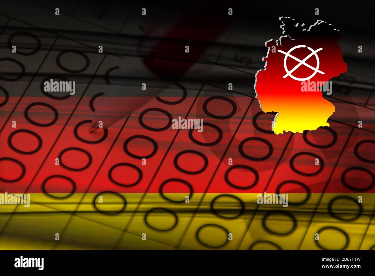 Bundestagswahlen Landtagswahlen mit Deutschland - Flagge und Wahlkreuz abstrakt Stock Photohttps://www.alamy.com/image-license-details/?v=1https://www.alamy.com/bundestagswahlen-landtagswahlen-mit-deutschland-flagge-und-wahlkreuz-abstrakt-image387840009.html
RF2DEYHTW–Bundestagswahlen Landtagswahlen mit Deutschland - Flagge und Wahlkreuz abstrakt
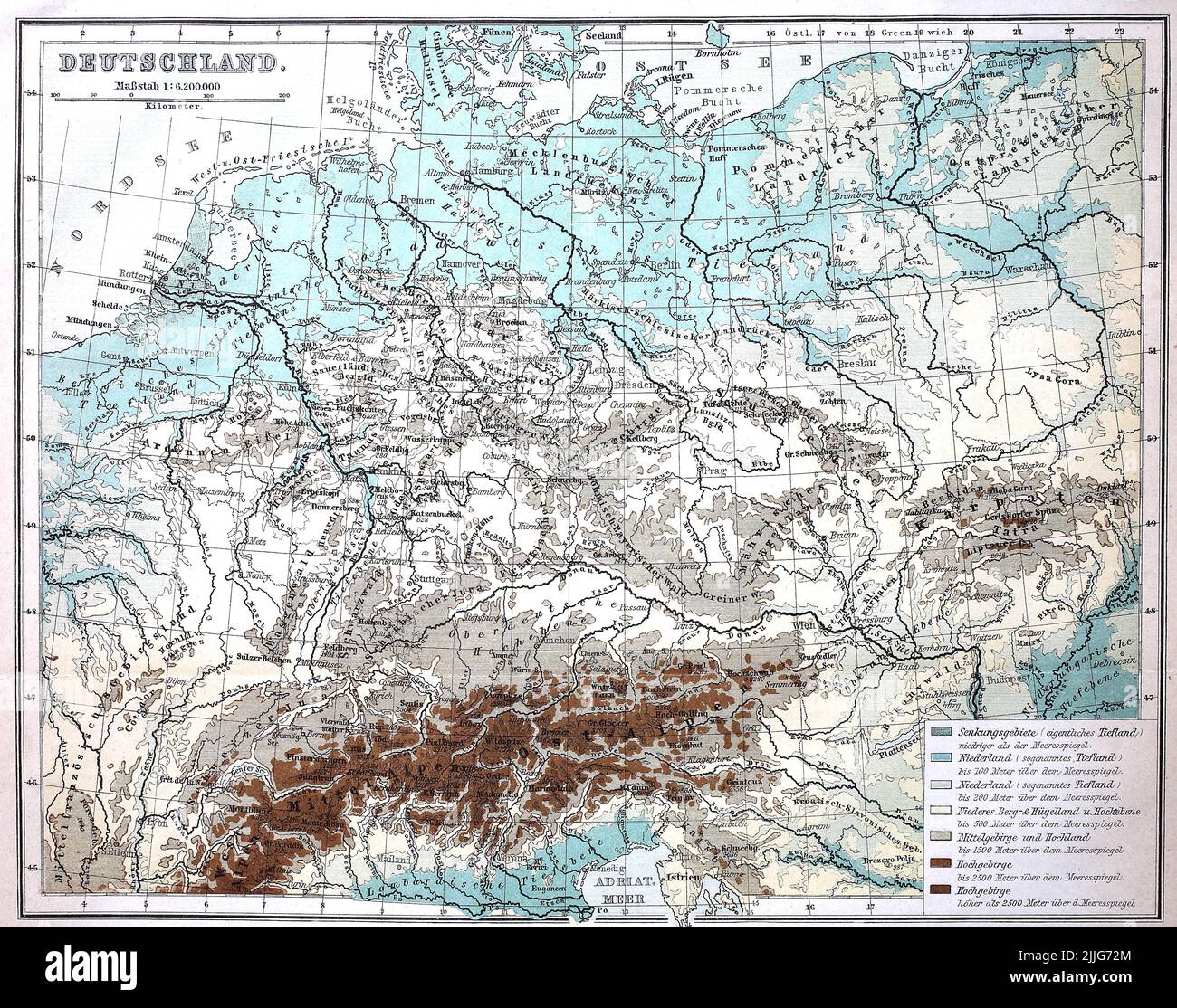 Landkarte mit Höhenangaben aus Deutschland, 1880 / Map with altitude data from Germany, 1880, Historisch, historical, digital improved reproduction of an original from the 19th century / digital restaurierte Reproduktion einer Originalvorlage aus dem 19. Jahrhundert, genaues Originaldatum nicht bekannt, Stock Photohttps://www.alamy.com/image-license-details/?v=1https://www.alamy.com/landkarte-mit-hhenangaben-aus-deutschland-1880-map-with-altitude-data-from-germany-1880-historisch-historical-digital-improved-reproduction-of-an-original-from-the-19th-century-digital-restaurierte-reproduktion-einer-originalvorlage-aus-dem-19-jahrhundert-genaues-originaldatum-nicht-bekannt-image476100540.html
RF2JJG72M–Landkarte mit Höhenangaben aus Deutschland, 1880 / Map with altitude data from Germany, 1880, Historisch, historical, digital improved reproduction of an original from the 19th century / digital restaurierte Reproduktion einer Originalvorlage aus dem 19. Jahrhundert, genaues Originaldatum nicht bekannt,
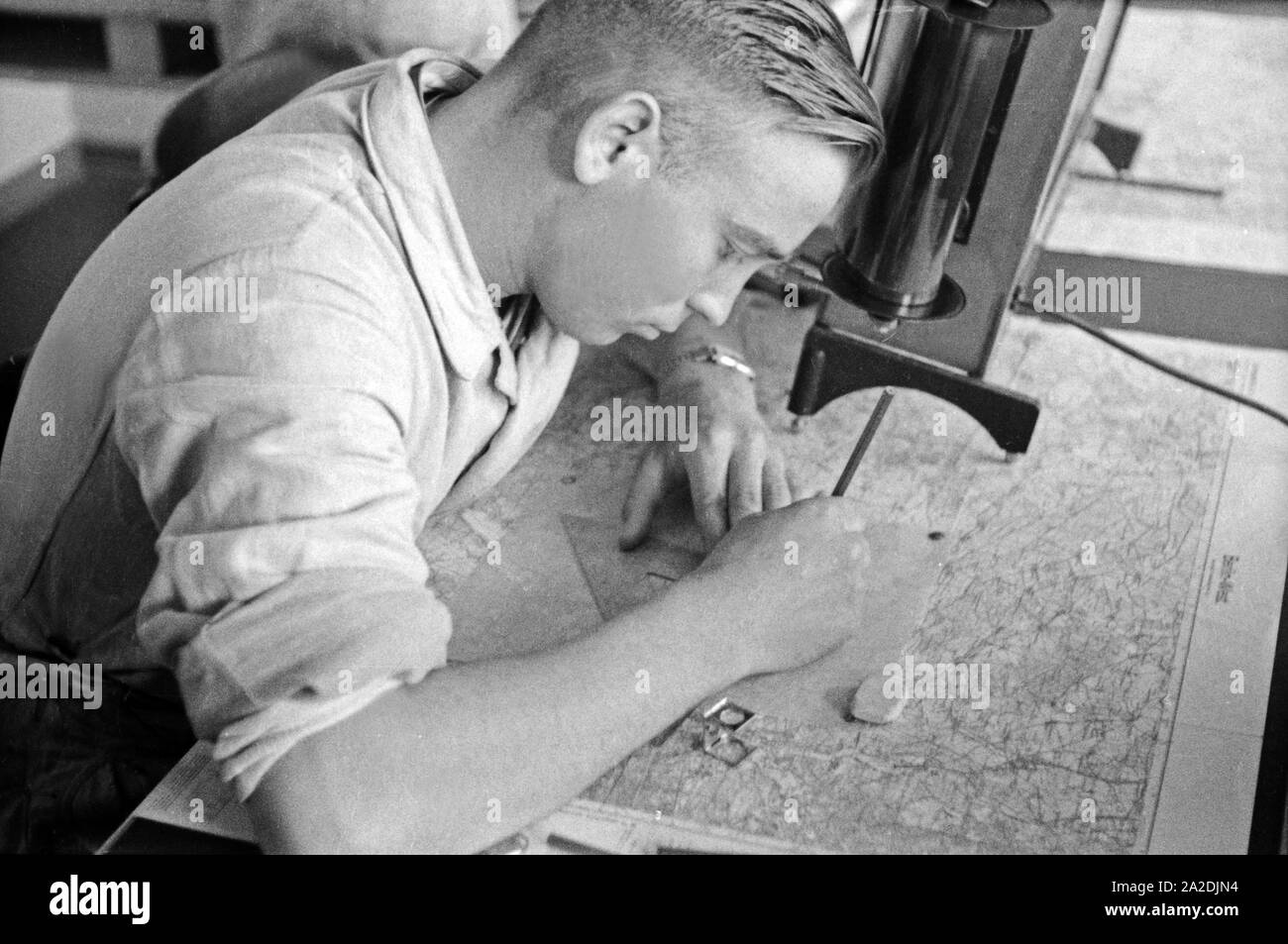 Rekrut der Flieger Ausbildungsstelle Schönwalde beim Erstellen von Festpunkten auf einer Landkarte, Deutschland 1930er Jahre. Recruit drawing some fix points into a map, Germany 1930s. Stock Photohttps://www.alamy.com/image-license-details/?v=1https://www.alamy.com/rekrut-der-flieger-ausbildungsstelle-schnwalde-beim-erstellen-von-festpunkten-auf-einer-landkarte-deutschland-1930er-jahre-recruit-drawing-some-fix-points-into-a-map-germany-1930s-image328526384.html
RM2A2DJN4–Rekrut der Flieger Ausbildungsstelle Schönwalde beim Erstellen von Festpunkten auf einer Landkarte, Deutschland 1930er Jahre. Recruit drawing some fix points into a map, Germany 1930s.
 Tourist map of local railways on table in local train, Munich. Germany Stock Photohttps://www.alamy.com/image-license-details/?v=1https://www.alamy.com/stock-photo-tourist-map-of-local-railways-on-table-in-local-train-munich-germany-146248654.html
RFJDX5J6–Tourist map of local railways on table in local train, Munich. Germany
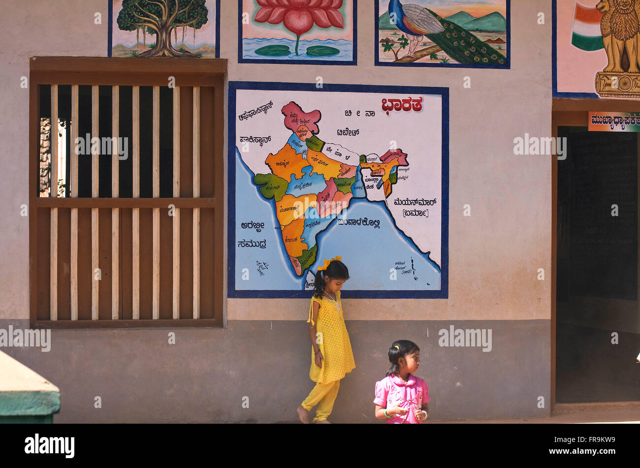 Asien, Indien, Karnataka, Gokarna, indische Landkarte an einer Grundschule Stock Photohttps://www.alamy.com/image-license-details/?v=1https://www.alamy.com/stock-photo-asien-indien-karnataka-gokarna-indische-landkarte-an-einer-grundschule-100402101.html
RMFR9KW9–Asien, Indien, Karnataka, Gokarna, indische Landkarte an einer Grundschule
 Landkarte von Europa aus Euroscheinen Stock Photohttps://www.alamy.com/image-license-details/?v=1https://www.alamy.com/landkarte-von-europa-aus-euroscheinen-image334291967.html
RM2ABT8PR–Landkarte von Europa aus Euroscheinen
 Stock Photohttps://www.alamy.com/image-license-details/?v=1https://www.alamy.com/-image67435086.html
RMDWKX3X–
 Switzerland Europe canton TI Ticino Southern Switzerland mountain mountains lake walking hiking view Locarno Cardada view Stock Photohttps://www.alamy.com/image-license-details/?v=1https://www.alamy.com/switzerland-europe-canton-ti-ticino-southern-switzerland-mountain-image63989867.html
RMDM2YMB–Switzerland Europe canton TI Ticino Southern Switzerland mountain mountains lake walking hiking view Locarno Cardada view
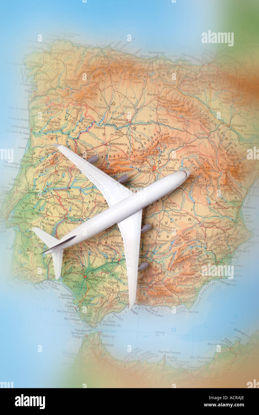 airplane on a map of spain Flugzeug auf einer Karte von Spanien Stock Photohttps://www.alamy.com/image-license-details/?v=1https://www.alamy.com/airplane-on-a-map-of-spain-flugzeug-auf-einer-karte-von-spanien-image7551661.html
RMACRAJE–airplane on a map of spain Flugzeug auf einer Karte von Spanien
 Provence, monaco, province, gap, nice, landkarte, provencealpesc?tedazurkarte, Stock Vectorhttps://www.alamy.com/image-license-details/?v=1https://www.alamy.com/stock-photo-provence-monaco-province-gap-nice-landkarte-provencealpesctedazurkarte-146877367.html
RFJEXRG7–Provence, monaco, province, gap, nice, landkarte, provencealpesc?tedazurkarte,
 Greek drachms on map with EU stars, Griechische Drachmen auf Landkarte mit EU-Sternen Stock Photohttps://www.alamy.com/image-license-details/?v=1https://www.alamy.com/stock-photo-greek-drachms-on-map-with-eu-stars-griechische-drachmen-auf-landkarte-170685385.html
RMKWKAXH–Greek drachms on map with EU stars, Griechische Drachmen auf Landkarte mit EU-Sternen
 Smartphone mit Navigationsfunktion auf Landkarte Stock Photohttps://www.alamy.com/image-license-details/?v=1https://www.alamy.com/smartphone-mit-navigationsfunktion-auf-landkarte-image223187450.html
RMPY31TA–Smartphone mit Navigationsfunktion auf Landkarte
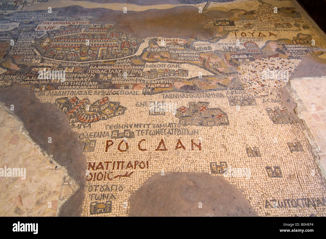 Map of Madaba made of mosaics in St. George's Basilica, Madaba, Jordan, Middle East Stock Photohttps://www.alamy.com/image-license-details/?v=1https://www.alamy.com/stock-photo-map-of-madaba-made-of-mosaics-in-st-georges-basilica-madaba-jordan-17594952.html
RMB0HEF4–Map of Madaba made of mosaics in St. George's Basilica, Madaba, Jordan, Middle East
 German Passport and Canadian Dollar bills on a map of Alberta Stock Photohttps://www.alamy.com/image-license-details/?v=1https://www.alamy.com/stock-photo-german-passport-and-canadian-dollar-bills-on-a-map-of-alberta-123957078.html
RMH5JMEE–German Passport and Canadian Dollar bills on a map of Alberta
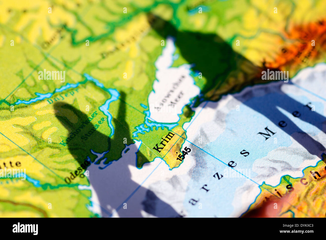 Die Krim auf einer Landkarte und Schatten eines Soldaten, Krim-Krise Stock Photohttps://www.alamy.com/image-license-details/?v=1https://www.alamy.com/die-krim-auf-einer-landkarte-und-schatten-eines-soldaten-krim-krise-image68664627.html
RMDYKXC3–Die Krim auf einer Landkarte und Schatten eines Soldaten, Krim-Krise
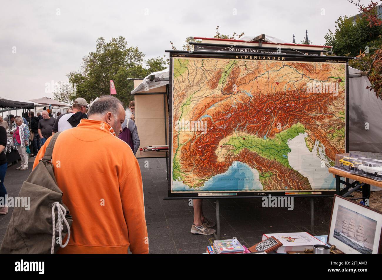 flea market on the banks of the river Rhine between Bastei and Hohenzollern bridge, map of alpine countries, Cologne, Germany. Troedelmarkt am Rheinuf Stock Photohttps://www.alamy.com/image-license-details/?v=1https://www.alamy.com/flea-market-on-the-banks-of-the-river-rhine-between-bastei-and-hohenzollern-bridge-map-of-alpine-countries-cologne-germany-troedelmarkt-am-rheinuf-image479835219.html
RM2JTJAM3–flea market on the banks of the river Rhine between Bastei and Hohenzollern bridge, map of alpine countries, Cologne, Germany. Troedelmarkt am Rheinuf
 Smartphone mit Navigationsfunktion auf Landkarte Stock Photohttps://www.alamy.com/image-license-details/?v=1https://www.alamy.com/stock-photo-smartphone-mit-navigationsfunktion-auf-landkarte-134239645.html
RMHPB411–Smartphone mit Navigationsfunktion auf Landkarte
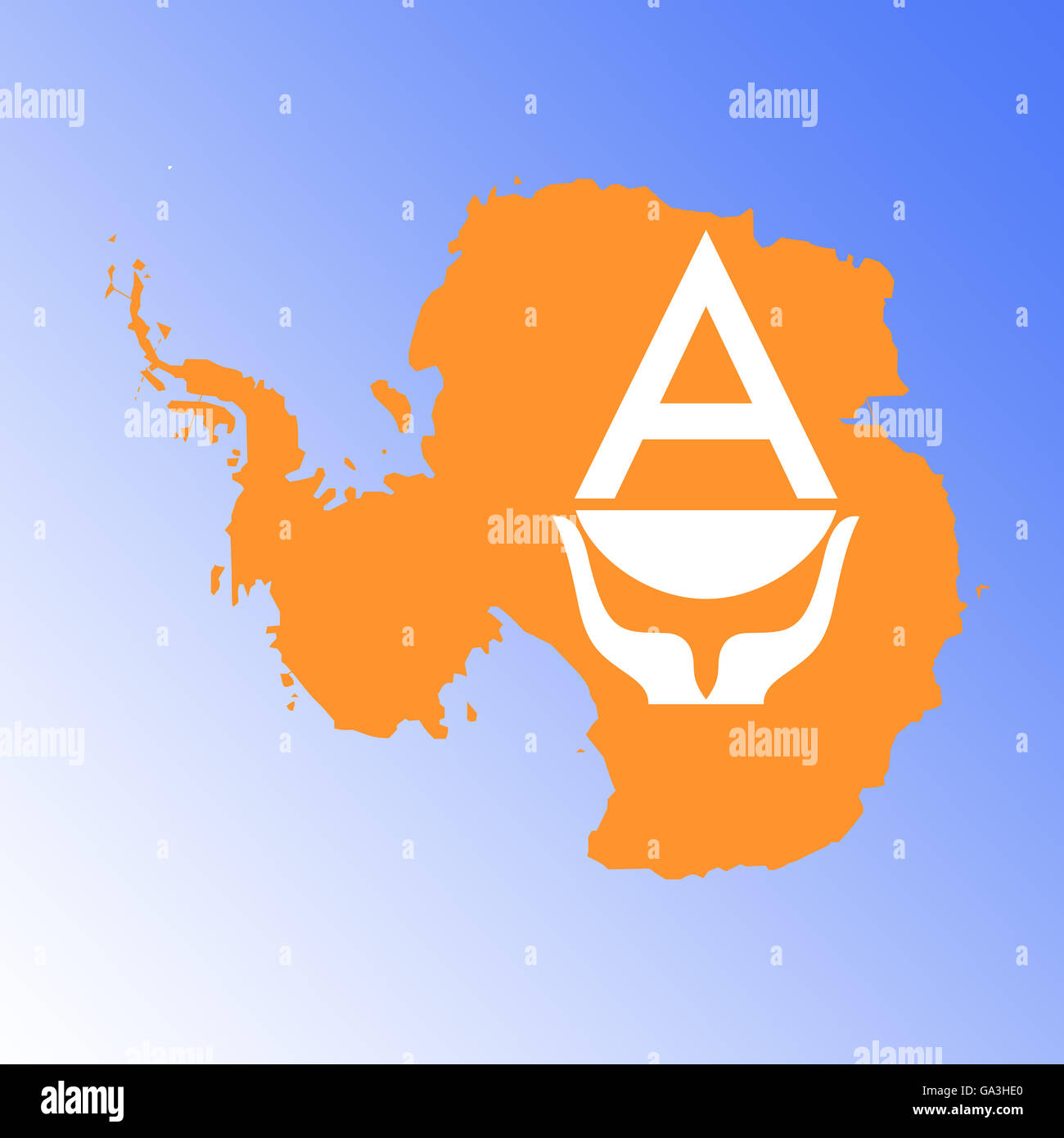 Symbolbild: Antarktis: Laenderumriss mit Flagge/ symbolic image: Antarctic: outline and flag. Stock Photohttps://www.alamy.com/image-license-details/?v=1https://www.alamy.com/stock-photo-symbolbild-antarktis-laenderumriss-mit-flagge-symbolic-image-antarctic-109488344.html
RFGA3HE0–Symbolbild: Antarktis: Laenderumriss mit Flagge/ symbolic image: Antarctic: outline and flag.
 Historical Map, Germany after the Customs Treaty of 1840, Stock Photohttps://www.alamy.com/image-license-details/?v=1https://www.alamy.com/stock-photo-historical-map-germany-after-the-customs-treaty-of-1840-90301772.html
RMF6WGR8–Historical Map, Germany after the Customs Treaty of 1840,
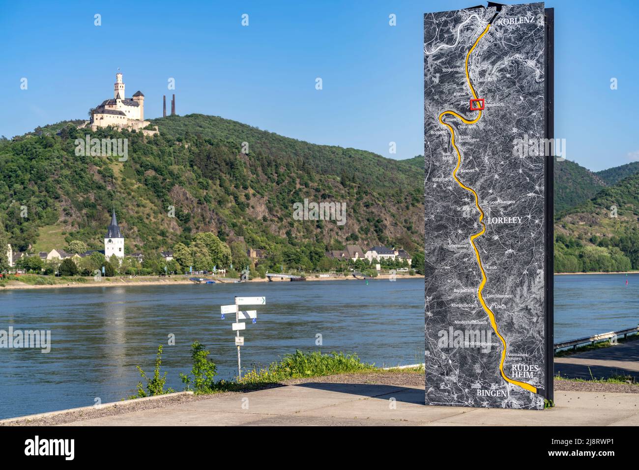 Tafel mit Karte des Rheins zwwischen Bingen und Koblenz, der Rhein und die Marksburg bei Braubach, Welterbe Oberes Mittelrheintal, Rheinland-Pfalz, D Stock Photohttps://www.alamy.com/image-license-details/?v=1https://www.alamy.com/tafel-mit-karte-des-rheins-zwwischen-bingen-und-koblenz-der-rhein-und-die-marksburg-bei-braubach-welterbe-oberes-mittelrheintal-rheinland-pfalz-d-image470122297.html
RM2J8RWP1–Tafel mit Karte des Rheins zwwischen Bingen und Koblenz, der Rhein und die Marksburg bei Braubach, Welterbe Oberes Mittelrheintal, Rheinland-Pfalz, D
 Atlas, map from 1623, Russia, digitally restored reproduction from an engraving by Gerhard Mercator, born as Gheert Cremer, March 5, 1512 - December 2, 1594, geographer and cartographer / Landkarte aus dem Jahre 1623, Russland, digital restaurierte Reproduktion von einem Kupferstich von Gerhard Mercator, geboren als Gheert Cremer, 5. März 1512 - 2. Dezember 1594, Geograph und Kartograf Stock Photohttps://www.alamy.com/image-license-details/?v=1https://www.alamy.com/atlas-map-from-1623-russia-digitally-restored-reproduction-from-an-engraving-by-gerhard-mercator-born-as-gheert-cremer-march-5-1512-december-2-1594-geographer-and-cartographer-landkarte-aus-dem-jahre-1623-russland-digital-restaurierte-reproduktion-von-einem-kupferstich-von-gerhard-mercator-geboren-als-gheert-cremer-5-mrz-1512-2-dezember-1594-geograph-und-kartograf-image597012739.html
RF2WK87RF–Atlas, map from 1623, Russia, digitally restored reproduction from an engraving by Gerhard Mercator, born as Gheert Cremer, March 5, 1512 - December 2, 1594, geographer and cartographer / Landkarte aus dem Jahre 1623, Russland, digital restaurierte Reproduktion von einem Kupferstich von Gerhard Mercator, geboren als Gheert Cremer, 5. März 1512 - 2. Dezember 1594, Geograph und Kartograf
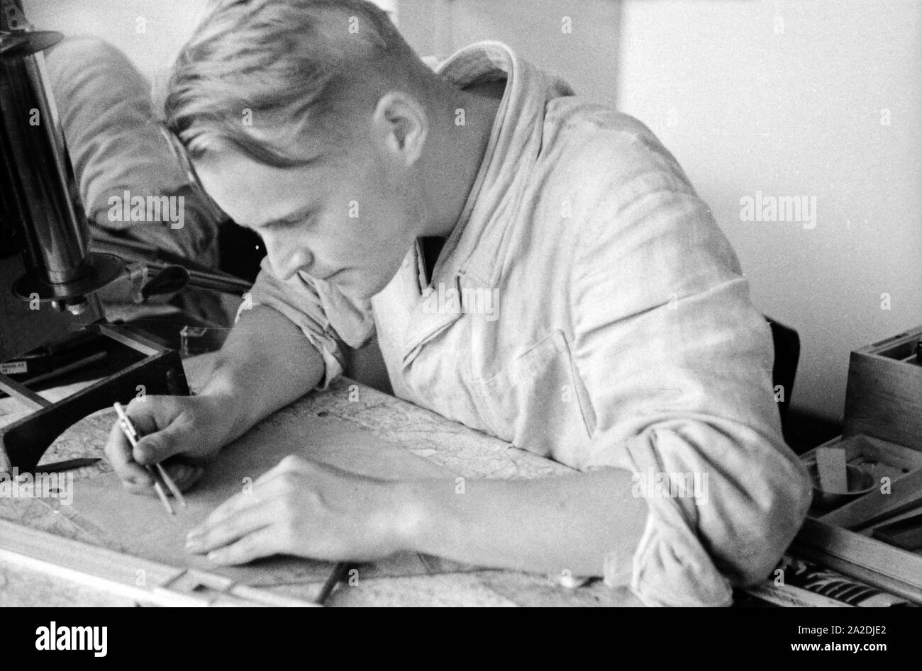 Rekrut der Flieger Ausbildungsstelle Schönwalde beim Erstellen von Festpunkten auf einer Landkarte, Deutschland 1930er Jahre. Recruit drawing some fix points into a map, Germany 1930s. Stock Photohttps://www.alamy.com/image-license-details/?v=1https://www.alamy.com/rekrut-der-flieger-ausbildungsstelle-schnwalde-beim-erstellen-von-festpunkten-auf-einer-landkarte-deutschland-1930er-jahre-recruit-drawing-some-fix-points-into-a-map-germany-1930s-image328526186.html
RM2A2DJE2–Rekrut der Flieger Ausbildungsstelle Schönwalde beim Erstellen von Festpunkten auf einer Landkarte, Deutschland 1930er Jahre. Recruit drawing some fix points into a map, Germany 1930s.
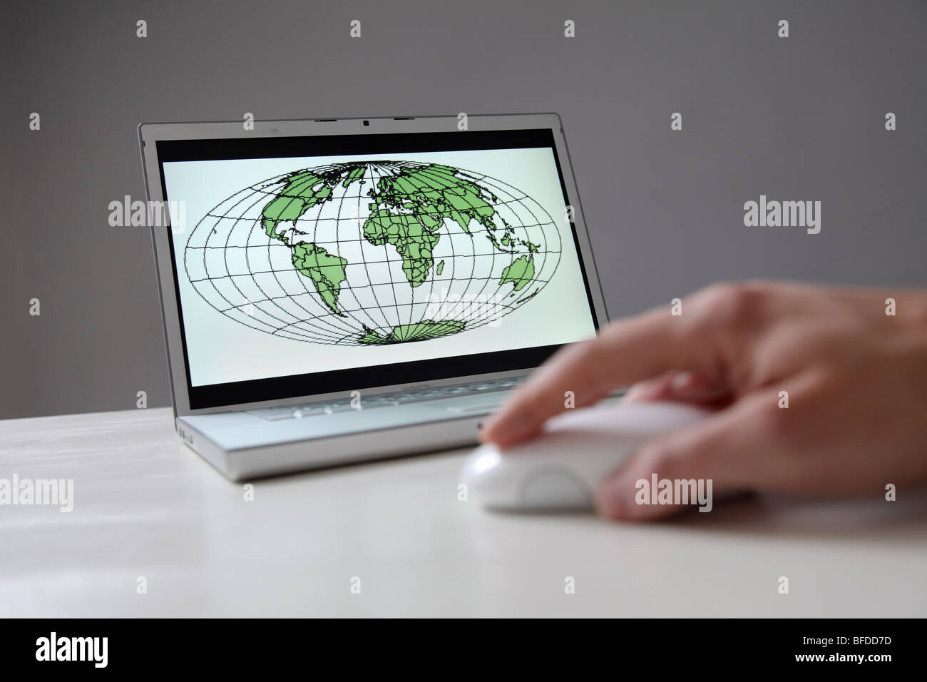 World map on computer screen Stock Photohttps://www.alamy.com/image-license-details/?v=1https://www.alamy.com/stock-photo-world-map-on-computer-screen-26725985.html
RMBFDD7D–World map on computer screen
 Asien, Indien, Karnataka, Gokarna, indische Landkarte an einer Grundschule Stock Photohttps://www.alamy.com/image-license-details/?v=1https://www.alamy.com/stock-photo-asien-indien-karnataka-gokarna-indische-landkarte-an-einer-grundschule-100402091.html
RMFR9KTY–Asien, Indien, Karnataka, Gokarna, indische Landkarte an einer Grundschule
 Landkarte von Europa aus Euroscheinen Stock Photohttps://www.alamy.com/image-license-details/?v=1https://www.alamy.com/landkarte-von-europa-aus-euroscheinen-image334528275.html
RM2AC726B–Landkarte von Europa aus Euroscheinen
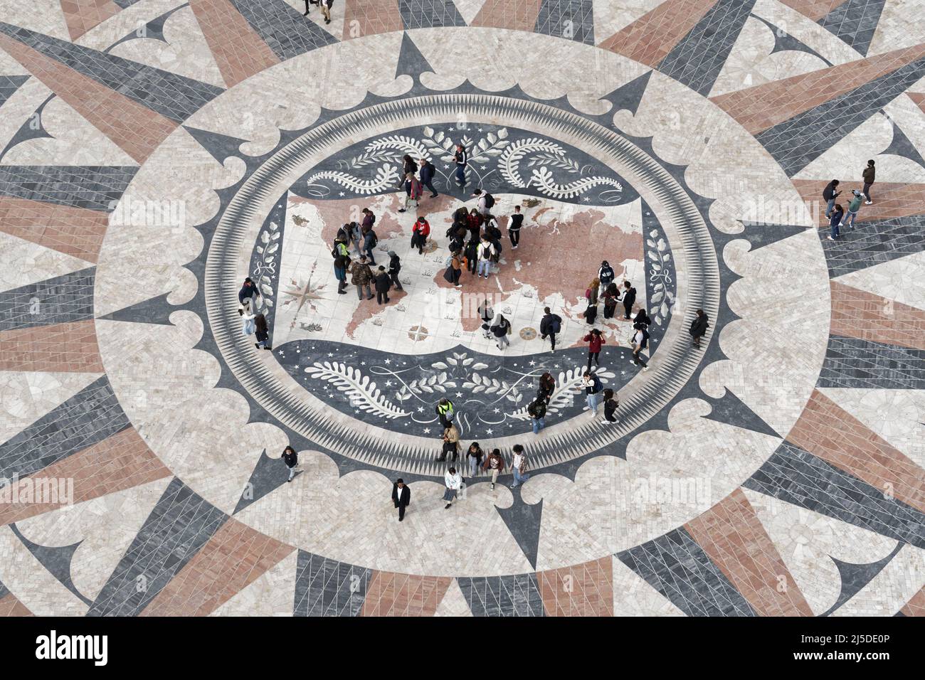 Windrosenmosaik am Fuße des Padrão dos Descobrimentos oder Denkmal der Entdeckungen, in Belém, Lissabon, Portugal, Europa Stock Photohttps://www.alamy.com/image-license-details/?v=1https://www.alamy.com/windrosenmosaik-am-fue-des-padro-dos-descobrimentos-oder-denkmal-der-entdeckungen-in-belm-lissabon-portugal-europa-image468049590.html
RM2J5DE0P–Windrosenmosaik am Fuße des Padrão dos Descobrimentos oder Denkmal der Entdeckungen, in Belém, Lissabon, Portugal, Europa
 Switzerland Europe canton NE Neuenburg Neuchatel Jura Le Locle hiker La Chaux-du-Milieux footpath trail hiking path signpost Stock Photohttps://www.alamy.com/image-license-details/?v=1https://www.alamy.com/switzerland-europe-canton-ne-neuenburg-neuchatel-jura-le-locle-hiker-image63887945.html
RMDKX9M9–Switzerland Europe canton NE Neuenburg Neuchatel Jura Le Locle hiker La Chaux-du-Milieux footpath trail hiking path signpost
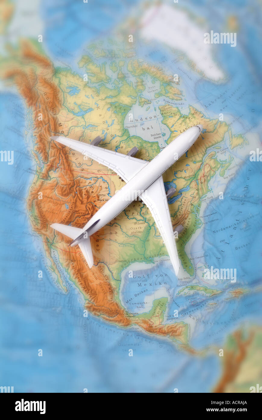 airplane on a map of north america Flugzeug auf einer Karte von USA Nordamerika Kanada Stock Photohttps://www.alamy.com/image-license-details/?v=1https://www.alamy.com/airplane-on-a-map-of-north-america-flugzeug-auf-einer-karte-von-usa-image7551657.html
RMACRAJA–airplane on a map of north america Flugzeug auf einer Karte von USA Nordamerika Kanada
 karte landkarte Stock Vectorhttps://www.alamy.com/image-license-details/?v=1https://www.alamy.com/stock-photo-karte-landkarte-146900879.html
RFJEYWFY–karte landkarte
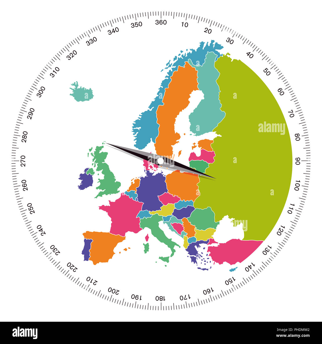 Europe, direction concept, illustration Stock Photohttps://www.alamy.com/image-license-details/?v=1https://www.alamy.com/europe-direction-concept-illustration-image217275186.html
RMPHDMM2–Europe, direction concept, illustration
 Tourist map of the island Isola Maggiore in Umbria, Italy Stock Photohttps://www.alamy.com/image-license-details/?v=1https://www.alamy.com/tourist-map-of-the-island-isola-maggiore-in-umbria-italy-image470934031.html
RM2JA4W4F–Tourist map of the island Isola Maggiore in Umbria, Italy
 Panoramic map on Mt. Schafberg, Salzkammergut region, Salzburg Land state, Austria, Europe Stock Photohttps://www.alamy.com/image-license-details/?v=1https://www.alamy.com/stock-photo-panoramic-map-on-mt-schafberg-salzkammergut-region-salzburg-land-state-25914507.html
RMBE4E63–Panoramic map on Mt. Schafberg, Salzkammergut region, Salzburg Land state, Austria, Europe
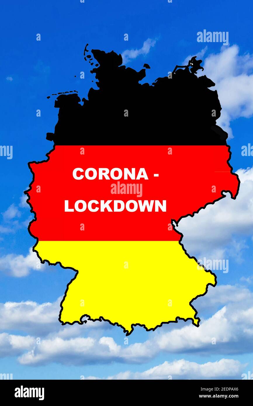 map of Germany lettering corona lockdown, Germany Stock Photohttps://www.alamy.com/image-license-details/?v=1https://www.alamy.com/map-of-germany-lettering-corona-lockdown-germany-image404320510.html
RM2EDPAX6–map of Germany lettering corona lockdown, Germany
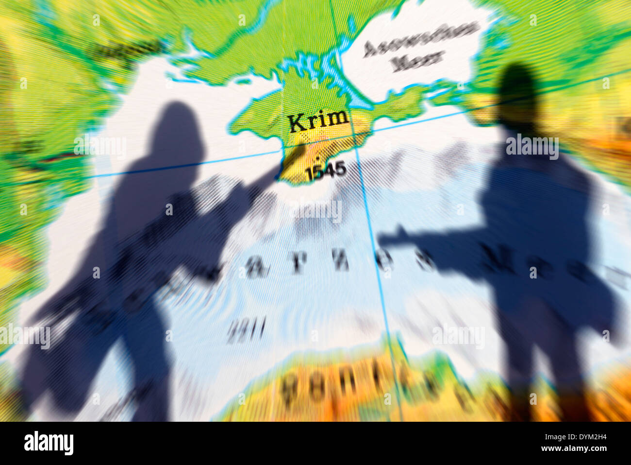 Die Krim auf einer Landkarte und Schatten eines Soldaten, Krim-Krise Stock Photohttps://www.alamy.com/image-license-details/?v=1https://www.alamy.com/die-krim-auf-einer-landkarte-und-schatten-eines-soldaten-krim-krise-image68667904.html
RMDYM2H4–Die Krim auf einer Landkarte und Schatten eines Soldaten, Krim-Krise
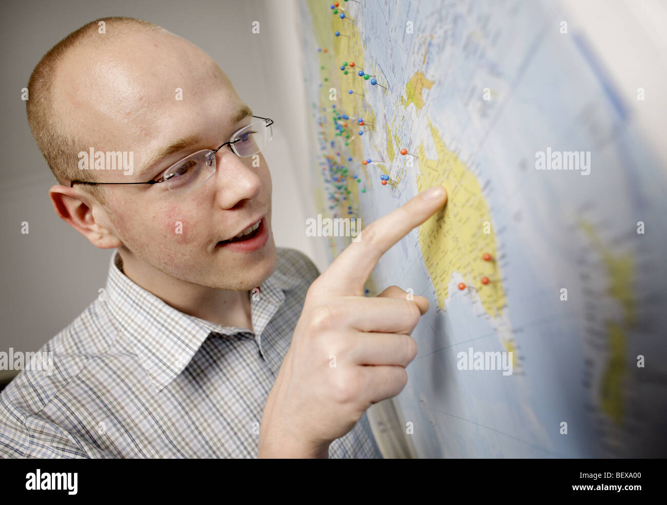 Young man wants to go to Australia. Stock Photohttps://www.alamy.com/image-license-details/?v=1https://www.alamy.com/stock-photo-young-man-wants-to-go-to-australia-26394144.html
RMBEXA00–Young man wants to go to Australia.
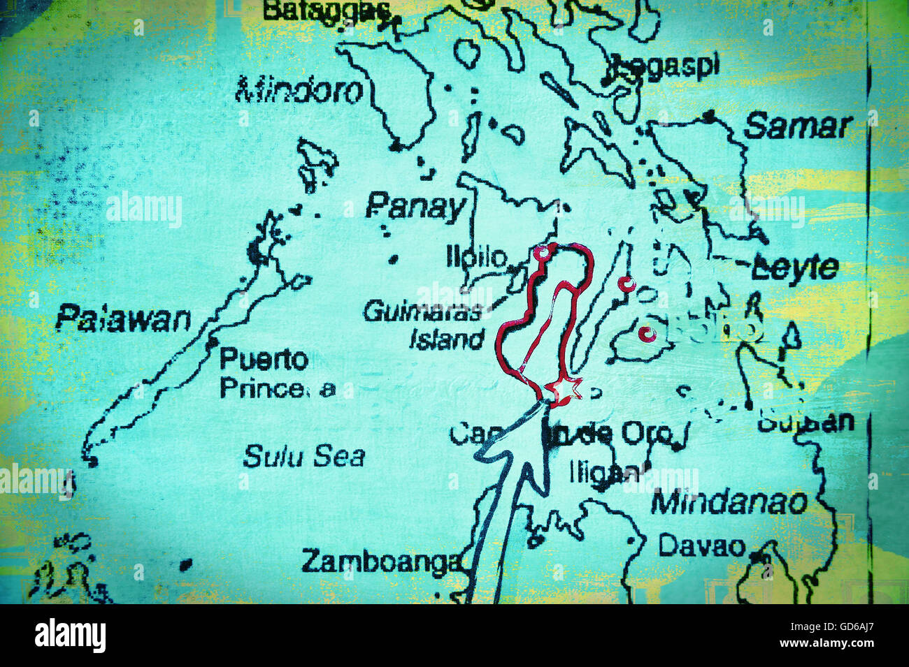 Map of the Visayas, Philippines, Asia. Stock Photohttps://www.alamy.com/image-license-details/?v=1https://www.alamy.com/stock-photo-map-of-the-visayas-philippines-asia-111392799.html
RMGD6AJ7–Map of the Visayas, Philippines, Asia.
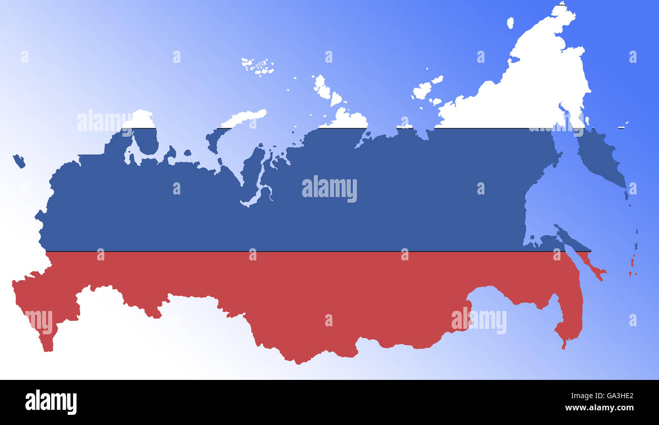 Symbolbild: Russland: Laenderumriss mit Flagge/ symbolic image: Russia: outline and flag. Stock Photohttps://www.alamy.com/image-license-details/?v=1https://www.alamy.com/stock-photo-symbolbild-russland-laenderumriss-mit-flagge-symbolic-image-russia-109488346.html
RFGA3HE2–Symbolbild: Russland: Laenderumriss mit Flagge/ symbolic image: Russia: outline and flag.
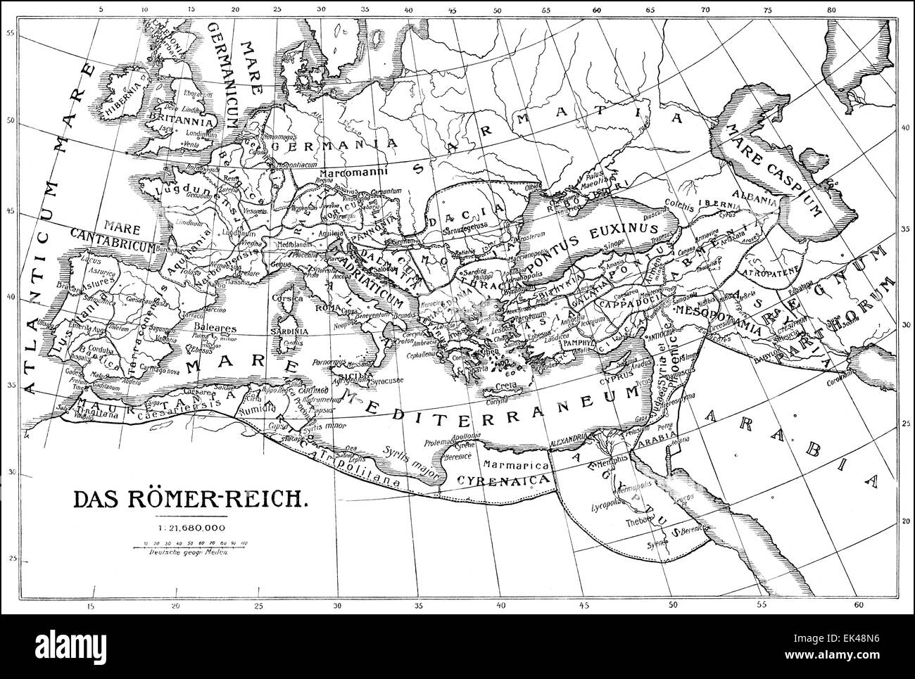 Historical map of the Roman Empire, Stock Photohttps://www.alamy.com/image-license-details/?v=1https://www.alamy.com/stock-photo-historical-map-of-the-roman-empire-80614610.html
RMEK48N6–Historical map of the Roman Empire,
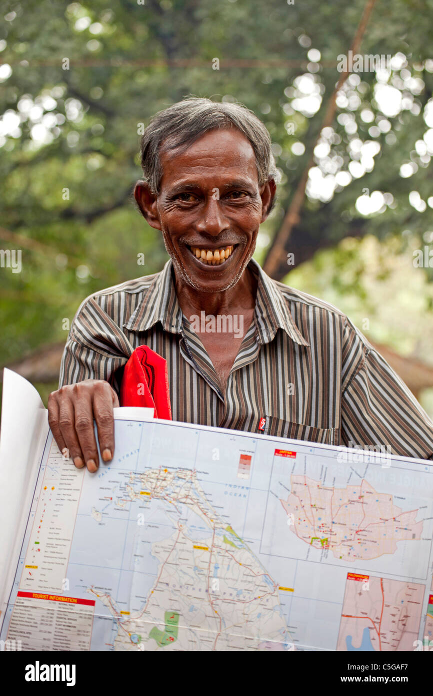 friendly salesman offering a map of Sri Lanka, Polonnaruwa, Sri Lanka, Asia Stock Photohttps://www.alamy.com/image-license-details/?v=1https://www.alamy.com/stock-photo-friendly-salesman-offering-a-map-of-sri-lanka-polonnaruwa-sri-lanka-37853515.html
RMC5GAF7–friendly salesman offering a map of Sri Lanka, Polonnaruwa, Sri Lanka, Asia
 Atlas, map from 1623, Italy, digitally restored reproduction from an engraving by Gerhard Mercator, born as Gheert Cremer, March 5, 1512 - December 2, 1594, geographer and cartographer / Landkarte aus dem Jahre 1623, Italien, digital restaurierte Reproduktion von einem Kupferstich von Gerhard Mercator, geboren als Gheert Cremer, 5. März 1512 - 2. Dezember 1594, Geograph und Kartograf Stock Photohttps://www.alamy.com/image-license-details/?v=1https://www.alamy.com/atlas-map-from-1623-italy-digitally-restored-reproduction-from-an-engraving-by-gerhard-mercator-born-as-gheert-cremer-march-5-1512-december-2-1594-geographer-and-cartographer-landkarte-aus-dem-jahre-1623-italien-digital-restaurierte-reproduktion-von-einem-kupferstich-von-gerhard-mercator-geboren-als-gheert-cremer-5-mrz-1512-2-dezember-1594-geograph-und-kartograf-image597013643.html
RF2WK88YR–Atlas, map from 1623, Italy, digitally restored reproduction from an engraving by Gerhard Mercator, born as Gheert Cremer, March 5, 1512 - December 2, 1594, geographer and cartographer / Landkarte aus dem Jahre 1623, Italien, digital restaurierte Reproduktion von einem Kupferstich von Gerhard Mercator, geboren als Gheert Cremer, 5. März 1512 - 2. Dezember 1594, Geograph und Kartograf
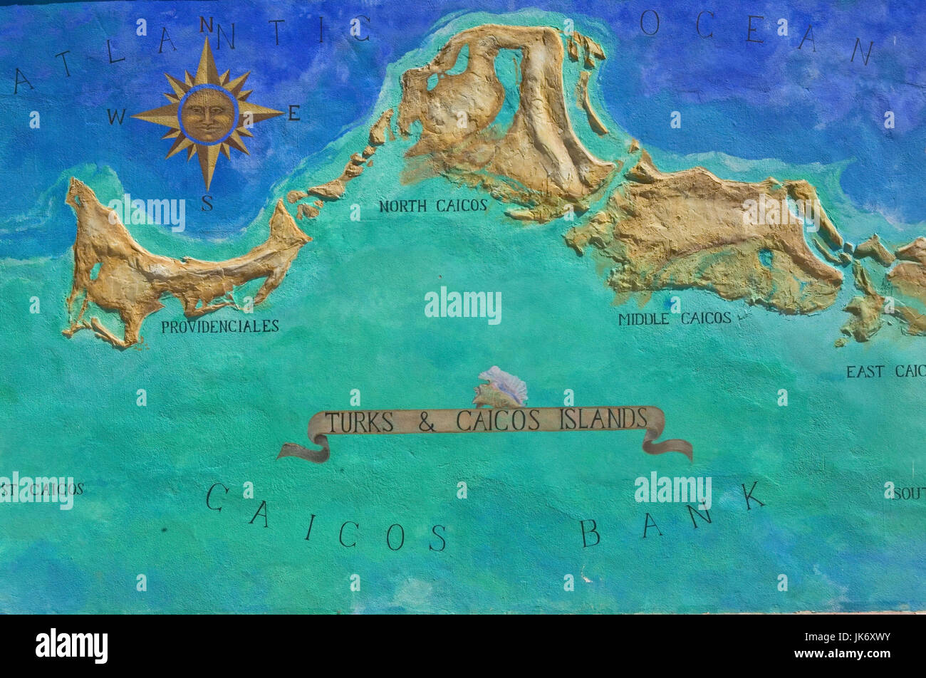 Turks und Caicos, Inseln, Landkarte, Atlantik, Inseln Stock Photohttps://www.alamy.com/image-license-details/?v=1https://www.alamy.com/stock-photo-turks-und-caicos-inseln-landkarte-atlantik-inseln-149514231.html
RMJK6XWY–Turks und Caicos, Inseln, Landkarte, Atlantik, Inseln
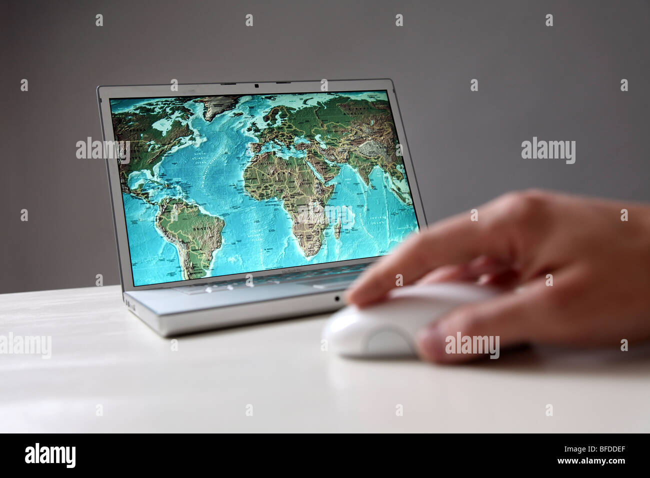 World map on computer screen Stock Photohttps://www.alamy.com/image-license-details/?v=1https://www.alamy.com/stock-photo-world-map-on-computer-screen-26726183.html
RMBFDDEF–World map on computer screen
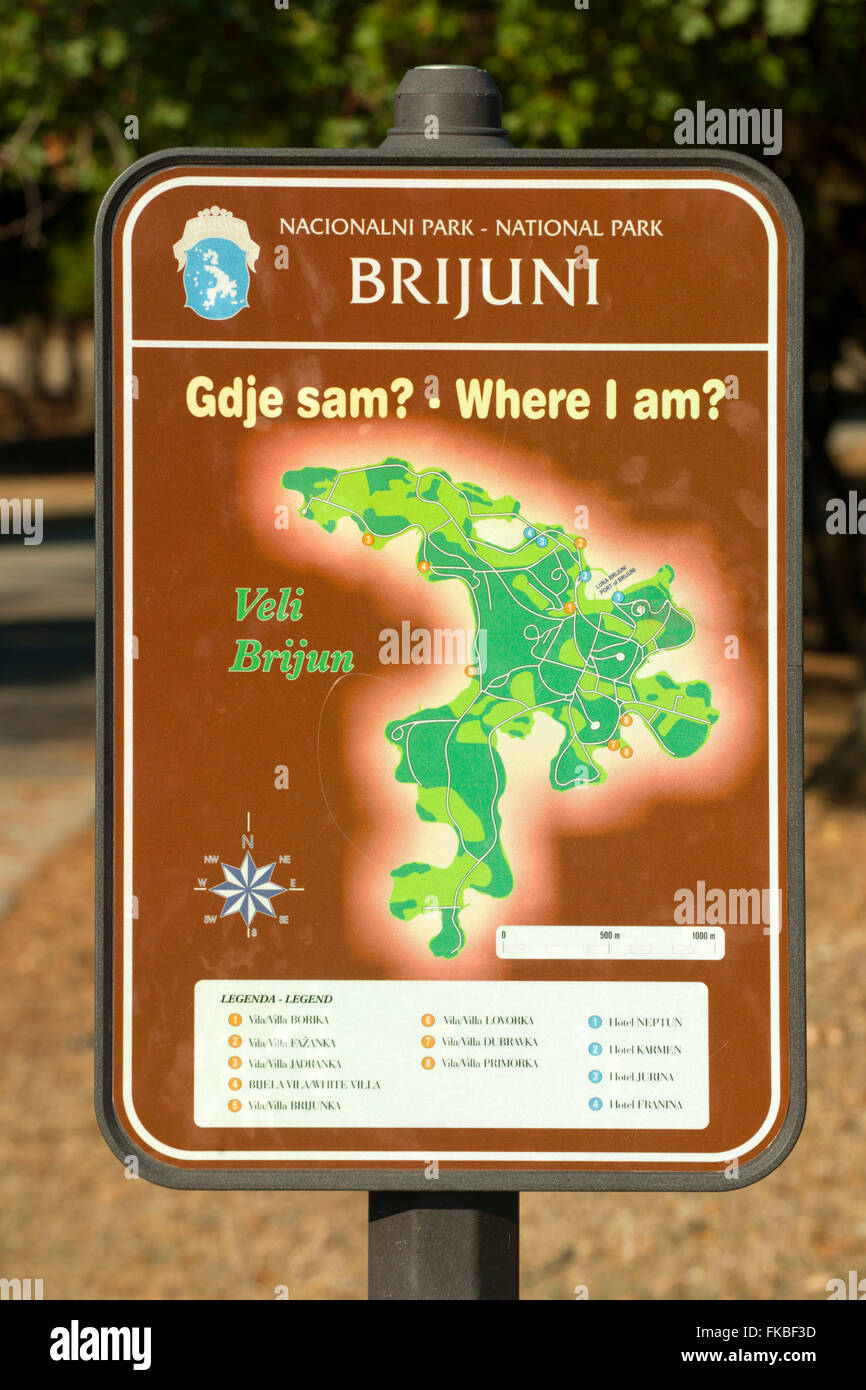 Kroatien, Istrien, Insel Veli Brijuni im Nationalpark Brijuni-Inseln vor Pula. Nationalpark-Schild Stock Photohttps://www.alamy.com/image-license-details/?v=1https://www.alamy.com/stock-photo-kroatien-istrien-insel-veli-brijuni-im-nationalpark-brijuni-inseln-97983633.html
RMFKBF3D–Kroatien, Istrien, Insel Veli Brijuni im Nationalpark Brijuni-Inseln vor Pula. Nationalpark-Schild
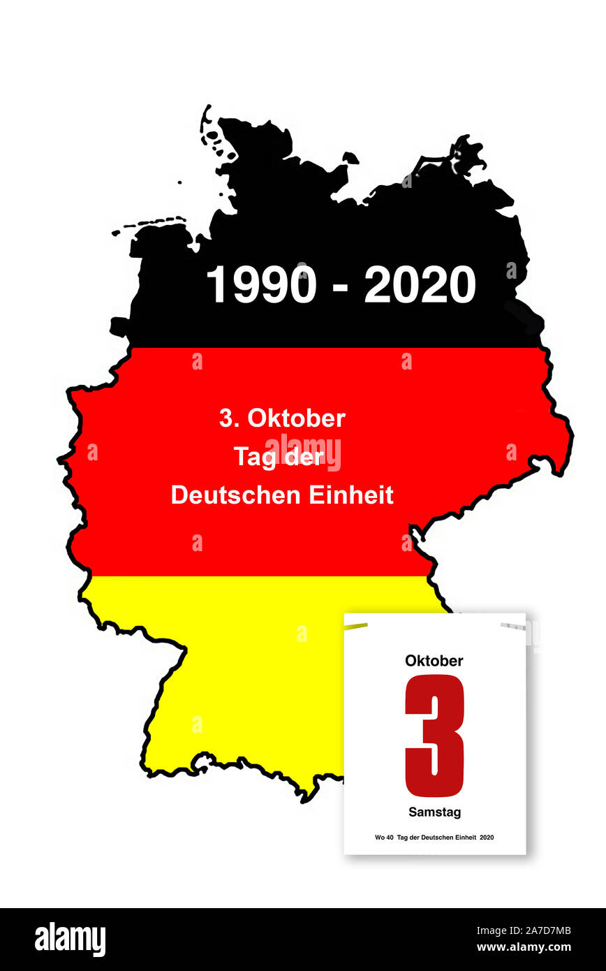 30 Jahre Deutsche Einheit, 3. Oktober, Tag der Deutschen Einheit, Bundesadler, Nationalfarben, Deutschlandkarte, schwarz-rot-gold, Stock Photohttps://www.alamy.com/image-license-details/?v=1https://www.alamy.com/30-jahre-deutsche-einheit-3-oktober-tag-der-deutschen-einheit-bundesadler-nationalfarben-deutschlandkarte-schwarz-rot-gold-image331591019.html
RM2A7D7MB–30 Jahre Deutsche Einheit, 3. Oktober, Tag der Deutschen Einheit, Bundesadler, Nationalfarben, Deutschlandkarte, schwarz-rot-gold,
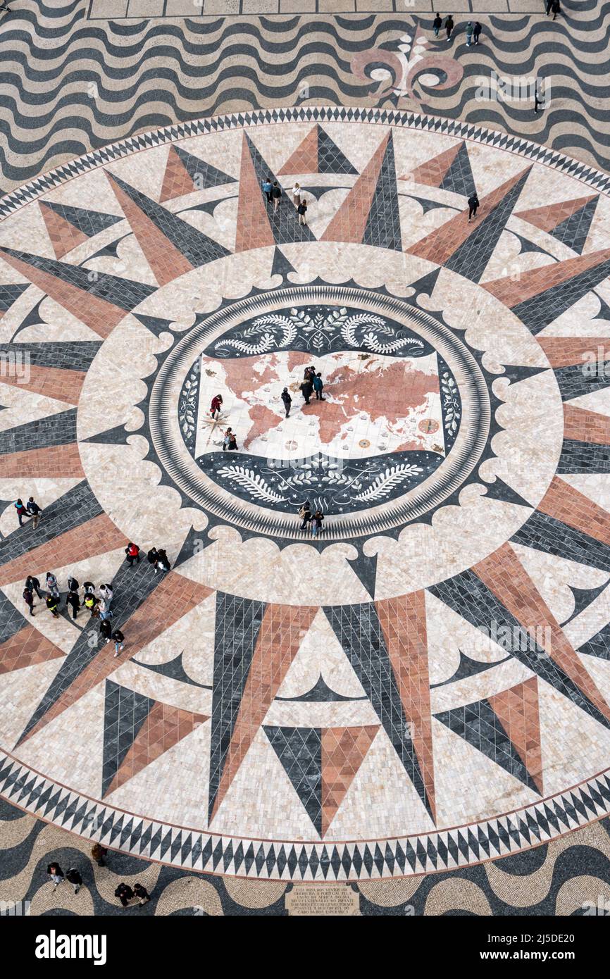 Windrosenmosaik am Fuße des Padrão dos Descobrimentos oder Denkmal der Entdeckungen, in Belém, Lissabon, Portugal, Europa Stock Photohttps://www.alamy.com/image-license-details/?v=1https://www.alamy.com/windrosenmosaik-am-fue-des-padro-dos-descobrimentos-oder-denkmal-der-entdeckungen-in-belm-lissabon-portugal-europa-image468049624.html
RM2J5DE20–Windrosenmosaik am Fuße des Padrão dos Descobrimentos oder Denkmal der Entdeckungen, in Belém, Lissabon, Portugal, Europa
 Switzerland Europe canton NE Neuenburg Neuchatel Jura Le Locle hiker La Chaux-du-Milieux village agriculture cow cows footpath Stock Photohttps://www.alamy.com/image-license-details/?v=1https://www.alamy.com/switzerland-europe-canton-ne-neuenburg-neuchatel-jura-le-locle-hiker-image63887817.html
RMDKX9FN–Switzerland Europe canton NE Neuenburg Neuchatel Jura Le Locle hiker La Chaux-du-Milieux village agriculture cow cows footpath
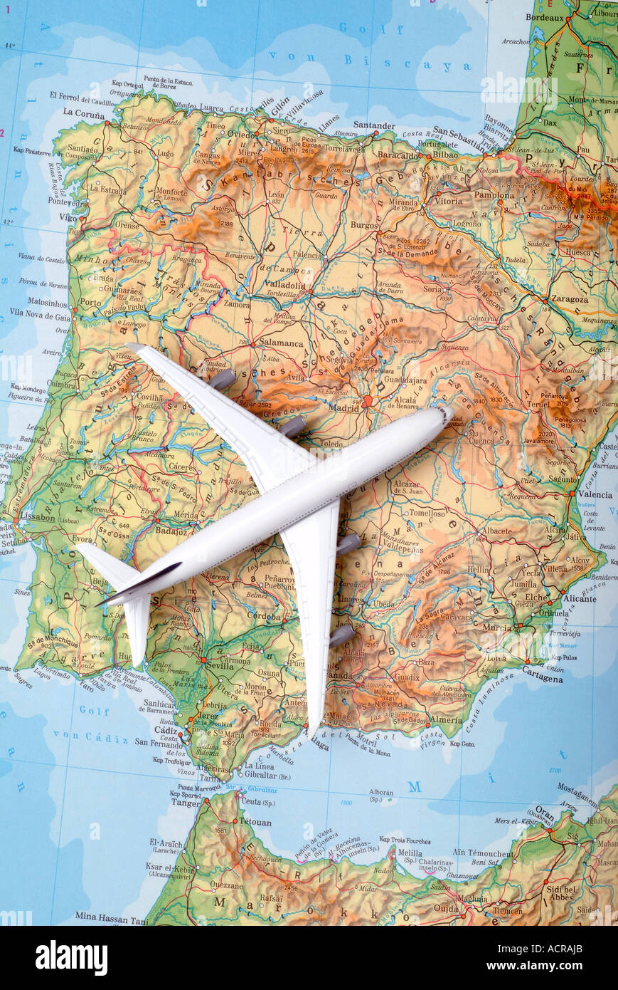 airplane on a map of spain Flugzeug auf einer Karte von Spanien Stock Photohttps://www.alamy.com/image-license-details/?v=1https://www.alamy.com/airplane-on-a-map-of-spain-flugzeug-auf-einer-karte-von-spanien-image7551658.html
RMACRAJB–airplane on a map of spain Flugzeug auf einer Karte von Spanien
 karte landkarte Stock Vectorhttps://www.alamy.com/image-license-details/?v=1https://www.alamy.com/stock-photo-karte-landkarte-146900878.html
RFJEYWFX–karte landkarte
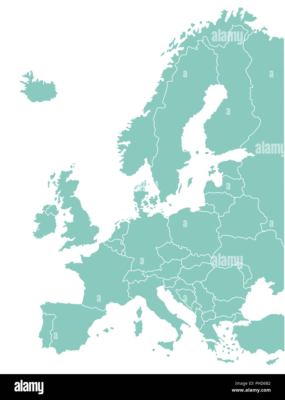 European map Geographical, graphic Stock Photohttps://www.alamy.com/image-license-details/?v=1https://www.alamy.com/european-map-geographical-graphic-image217263958.html
RMPHD6B2–European map Geographical, graphic
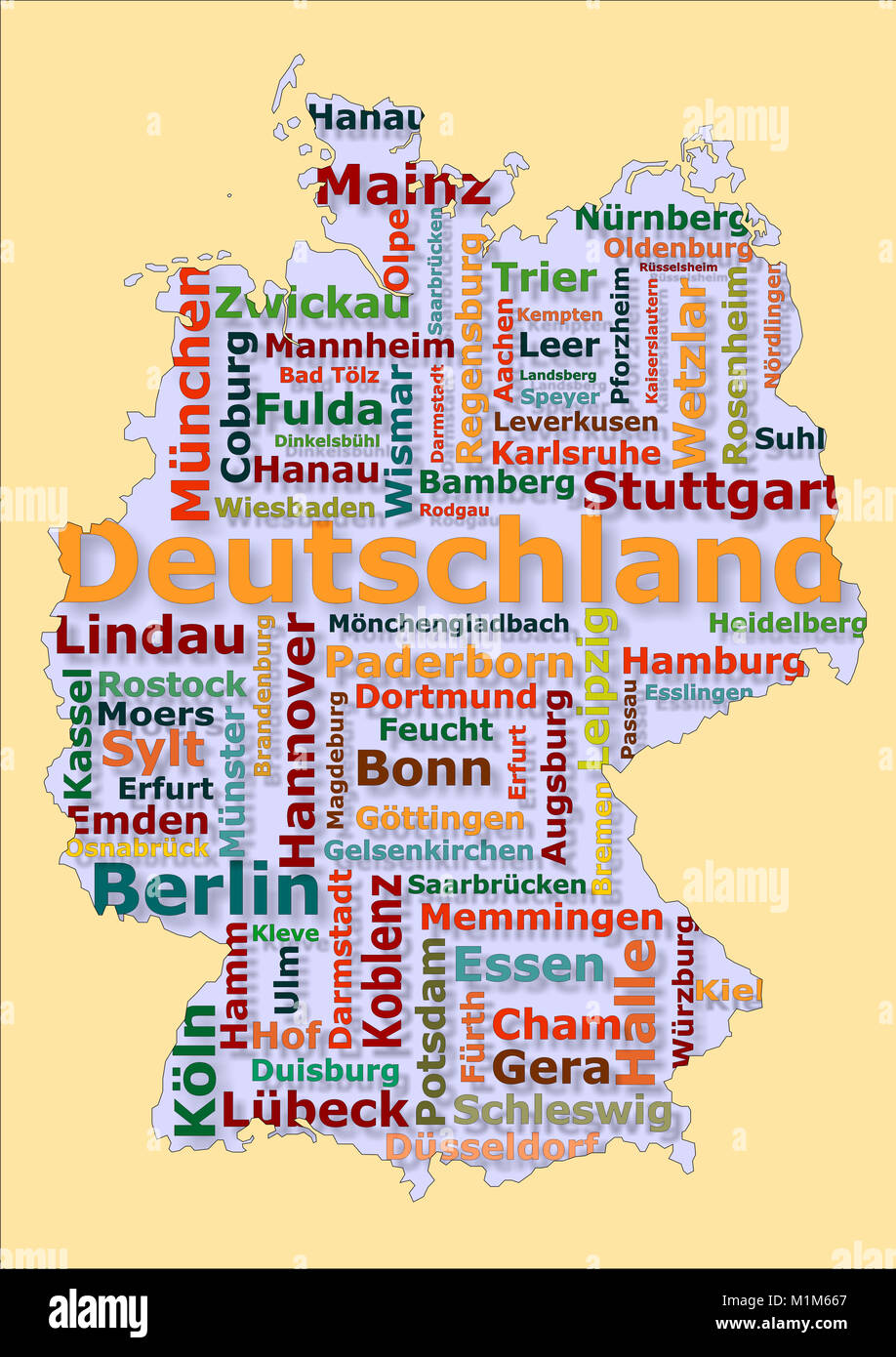 Deutschland Karte mit großen Städten Stock Photohttps://www.alamy.com/image-license-details/?v=1https://www.alamy.com/stock-photo-deutschland-karte-mit-groen-stdten-173162255.html
RFM1M667–Deutschland Karte mit großen Städten
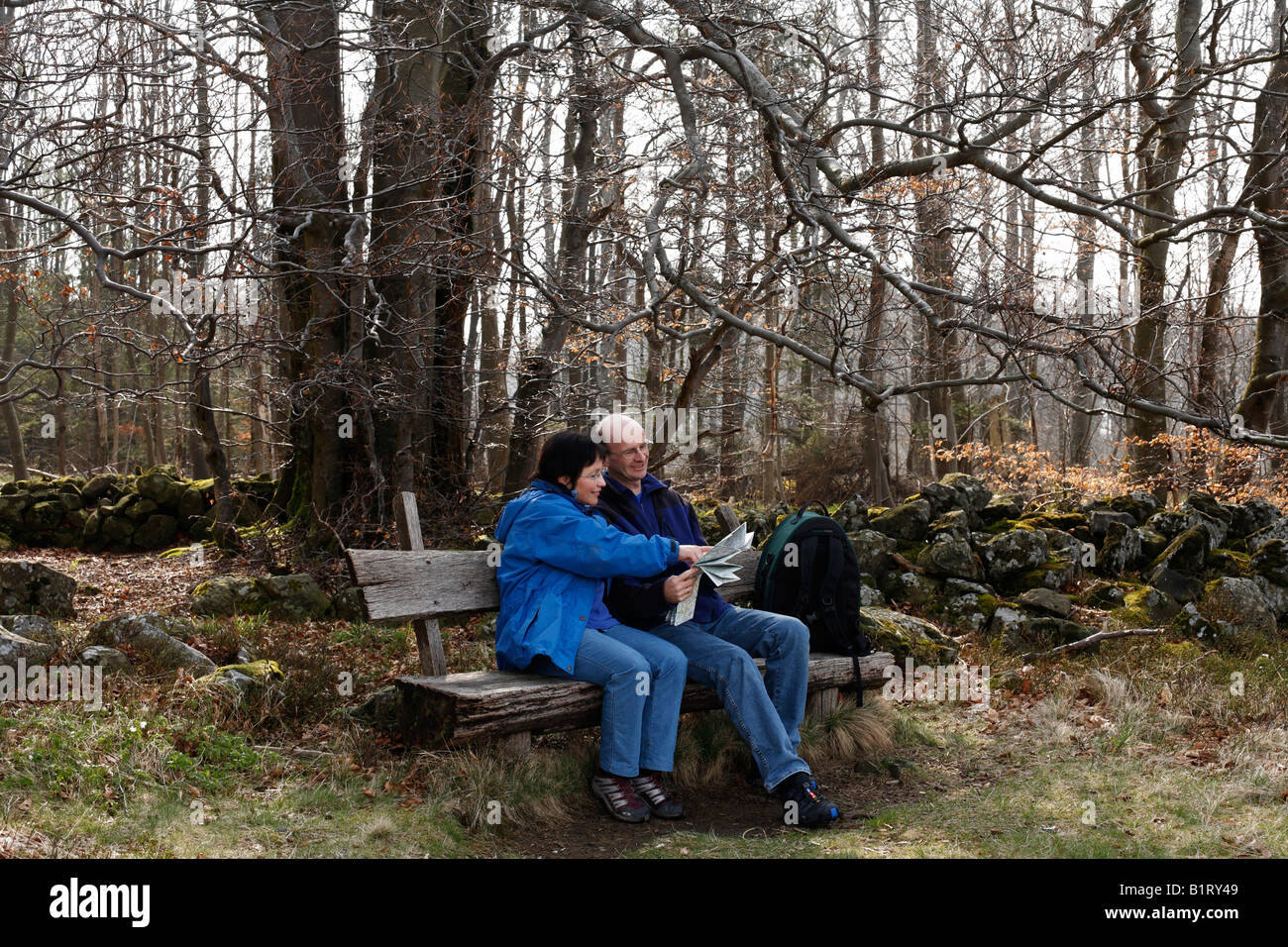 Couple sitting on a bench looking at a map, Lange Rhoen, Lower Franconia, Bavaria, Germany, Europe Stock Photohttps://www.alamy.com/image-license-details/?v=1https://www.alamy.com/stock-photo-couple-sitting-on-a-bench-looking-at-a-map-lange-rhoen-lower-franconia-18351209.html
RFB1RY49–Couple sitting on a bench looking at a map, Lange Rhoen, Lower Franconia, Bavaria, Germany, Europe
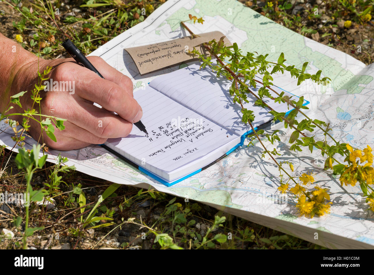 Echtes Johanniskraut, Tuepfel-Hartheu, Tuepfelhartheu, Tuepfel-Johanniskraut, Tuepfeljohanniskraut, Johanniskraut (Hypericum per Stock Photohttps://www.alamy.com/image-license-details/?v=1https://www.alamy.com/stock-photo-echtes-johanniskraut-tuepfel-hartheu-tuepfelhartheu-tuepfel-johanniskraut-120503956.html
RMH01C0M–Echtes Johanniskraut, Tuepfel-Hartheu, Tuepfelhartheu, Tuepfel-Johanniskraut, Tuepfeljohanniskraut, Johanniskraut (Hypericum per
 Die Krim auf einer Landkarte und Schatten eines Soldaten, Krim-Krise Stock Photohttps://www.alamy.com/image-license-details/?v=1https://www.alamy.com/die-krim-auf-einer-landkarte-und-schatten-eines-soldaten-krim-krise-image68658965.html
RMDYKK5W–Die Krim auf einer Landkarte und Schatten eines Soldaten, Krim-Krise
 School children playing with a globe . Ouagadougou , Burkina Faso . Stock Photohttps://www.alamy.com/image-license-details/?v=1https://www.alamy.com/stock-photo-school-children-playing-with-a-globe-ouagadougou-burkina-faso-27111644.html
RMBG3150–School children playing with a globe . Ouagadougou , Burkina Faso .
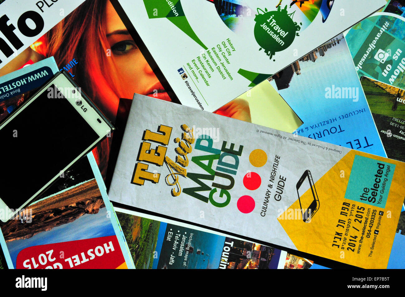 Road Trippin´ Israel. Stock Photohttps://www.alamy.com/image-license-details/?v=1https://www.alamy.com/stock-photo-road-trippin-israel-82526356.html
RMEP7B5T–Road Trippin´ Israel.
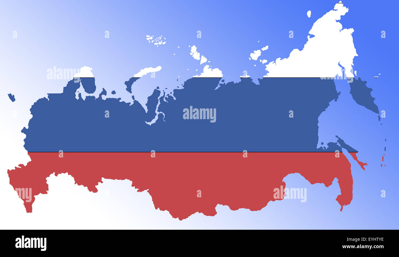 Symbolbild: Russland: Laenderumriss mit Flagge/ symbolic image: Russia: outline and flag. Stock Photohttps://www.alamy.com/image-license-details/?v=1https://www.alamy.com/stock-photo-symbolbild-russland-laenderumriss-mit-flagge-symbolic-image-russia-85829954.html
RFEYHTYE–Symbolbild: Russland: Laenderumriss mit Flagge/ symbolic image: Russia: outline and flag.
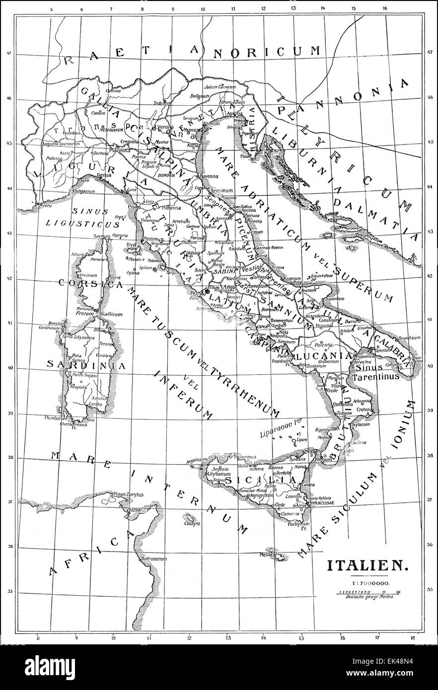 Historical map of Italy, Stock Photohttps://www.alamy.com/image-license-details/?v=1https://www.alamy.com/stock-photo-historical-map-of-italy-80614608.html
RMEK48N4–Historical map of Italy,
 Blick vom Aussichtsturm des ehemaligen US-Militärstützpunkt Point India an der innerdeutschen Grenze bei Lüderbach, Ringgau, Hessen, Deutschland | Vi Stock Photohttps://www.alamy.com/image-license-details/?v=1https://www.alamy.com/blick-vom-aussichtsturm-des-ehemaligen-us-militrsttzpunkt-point-india-an-der-innerdeutschen-grenze-bei-lderbach-ringgau-hessen-deutschland-vi-image632761626.html
RM2YNCNWE–Blick vom Aussichtsturm des ehemaligen US-Militärstützpunkt Point India an der innerdeutschen Grenze bei Lüderbach, Ringgau, Hessen, Deutschland | Vi
 Atlas, map from 1623, Austria, digitally restored reproduction from an engraving by Gerhard Mercator, born as Gheert Cremer, March 5, 1512 - December 2, 1594, geographer and cartographer / Landkarte aus dem Jahre 1623, Österreich, digital restaurierte Reproduktion von einem Kupferstich von Gerhard Mercator, geboren als Gheert Cremer, 5. März 1512 - 2. Dezember 1594, Geograph und Kartograf Stock Photohttps://www.alamy.com/image-license-details/?v=1https://www.alamy.com/atlas-map-from-1623-austria-digitally-restored-reproduction-from-an-engraving-by-gerhard-mercator-born-as-gheert-cremer-march-5-1512-december-2-1594-geographer-and-cartographer-landkarte-aus-dem-jahre-1623-sterreich-digital-restaurierte-reproduktion-von-einem-kupferstich-von-gerhard-mercator-geboren-als-gheert-cremer-5-mrz-1512-2-dezember-1594-geograph-und-kartograf-image597013629.html
RF2WK88Y9–Atlas, map from 1623, Austria, digitally restored reproduction from an engraving by Gerhard Mercator, born as Gheert Cremer, March 5, 1512 - December 2, 1594, geographer and cartographer / Landkarte aus dem Jahre 1623, Österreich, digital restaurierte Reproduktion von einem Kupferstich von Gerhard Mercator, geboren als Gheert Cremer, 5. März 1512 - 2. Dezember 1594, Geograph und Kartograf
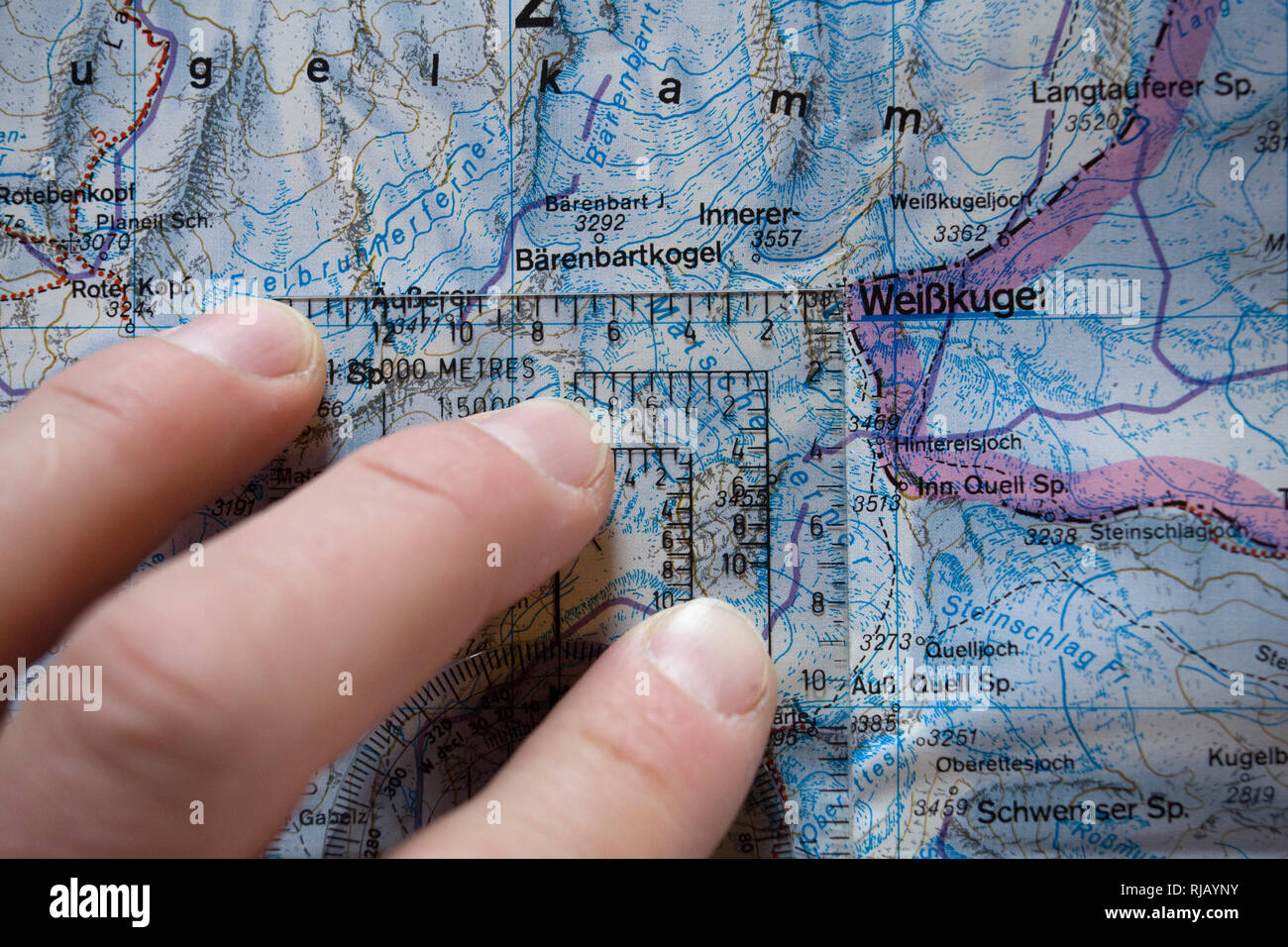 Kartenstudium im Hochjochhospiz, Ötztaler Alpen, Tirol, Österreich. Stock Photohttps://www.alamy.com/image-license-details/?v=1https://www.alamy.com/kartenstudium-im-hochjochhospiz-tztaler-alpen-tirol-sterreich-image235039895.html
RMRJAYNY–Kartenstudium im Hochjochhospiz, Ötztaler Alpen, Tirol, Österreich.
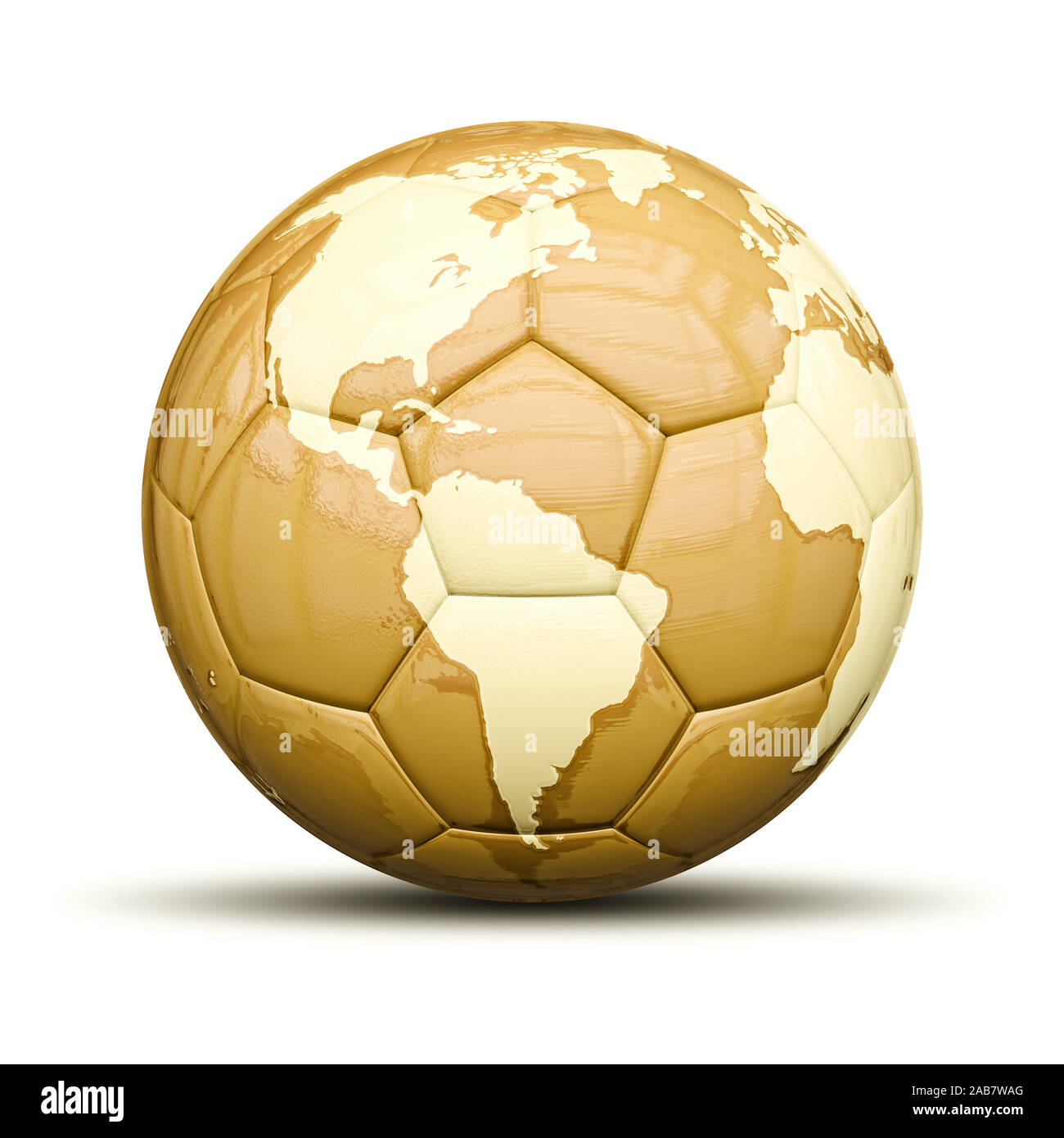 Ein goldener Fussball mit Weltkarte vor weissem Hintergrund Stock Photohttps://www.alamy.com/image-license-details/?v=1https://www.alamy.com/ein-goldener-fussball-mit-weltkarte-vor-weissem-hintergrund-image333931768.html
RM2AB7WAG–Ein goldener Fussball mit Weltkarte vor weissem Hintergrund
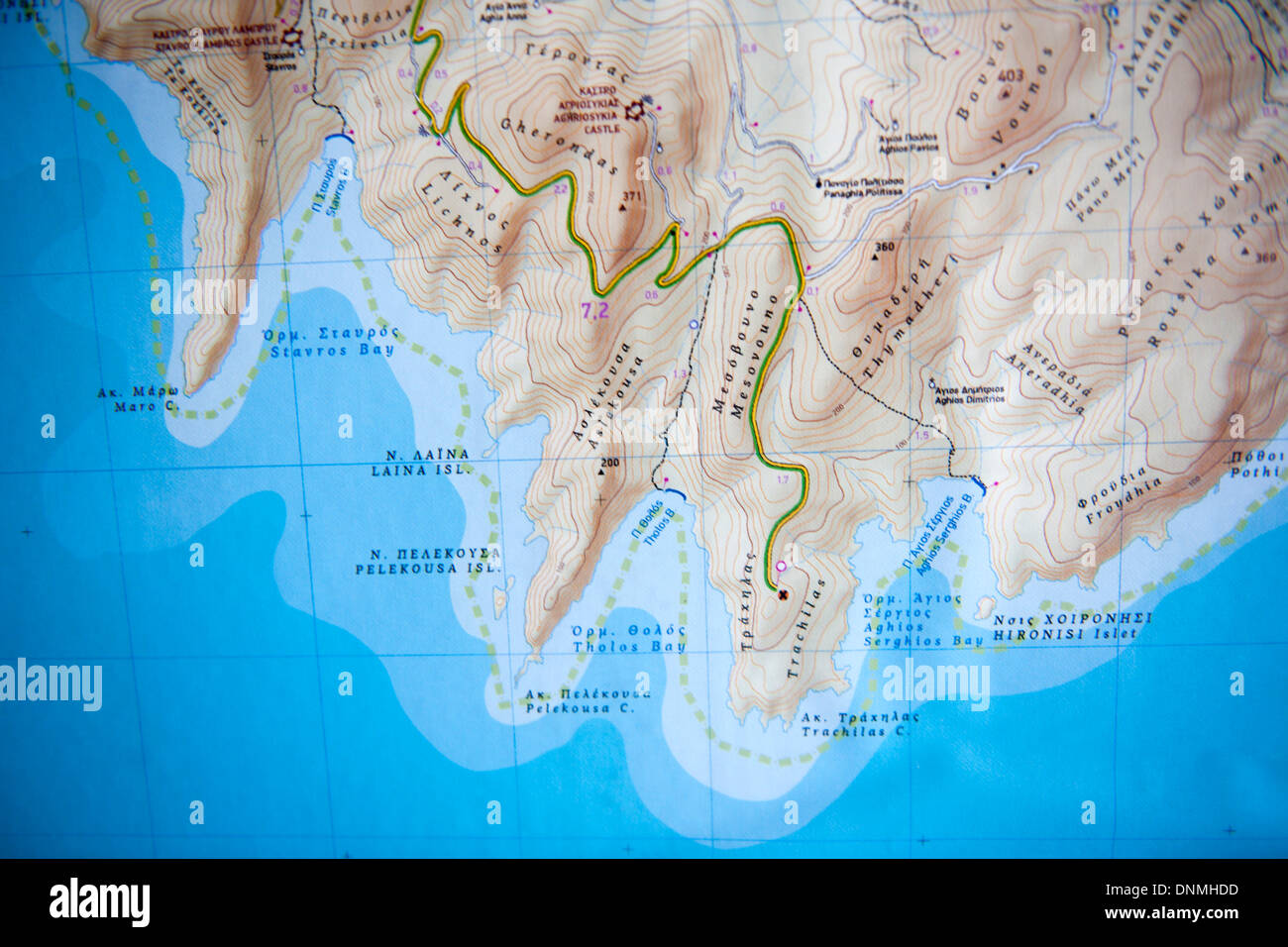 Griechenland, Insel Tilos, Karte Stock Photohttps://www.alamy.com/image-license-details/?v=1https://www.alamy.com/griechenland-insel-tilos-karte-image64991625.html
RMDNMHDD–Griechenland, Insel Tilos, Karte
 3. Oktober, Tag der Deutschen Einheit, Bundesadler, Nationalfarben, Deutschlandkarte, schwarz-rot-gold, Stock Photohttps://www.alamy.com/image-license-details/?v=1https://www.alamy.com/3-oktober-tag-der-deutschen-einheit-bundesadler-nationalfarben-deutschlandkarte-schwarz-rot-gold-image331590926.html
RM2A7D7H2–3. Oktober, Tag der Deutschen Einheit, Bundesadler, Nationalfarben, Deutschlandkarte, schwarz-rot-gold,
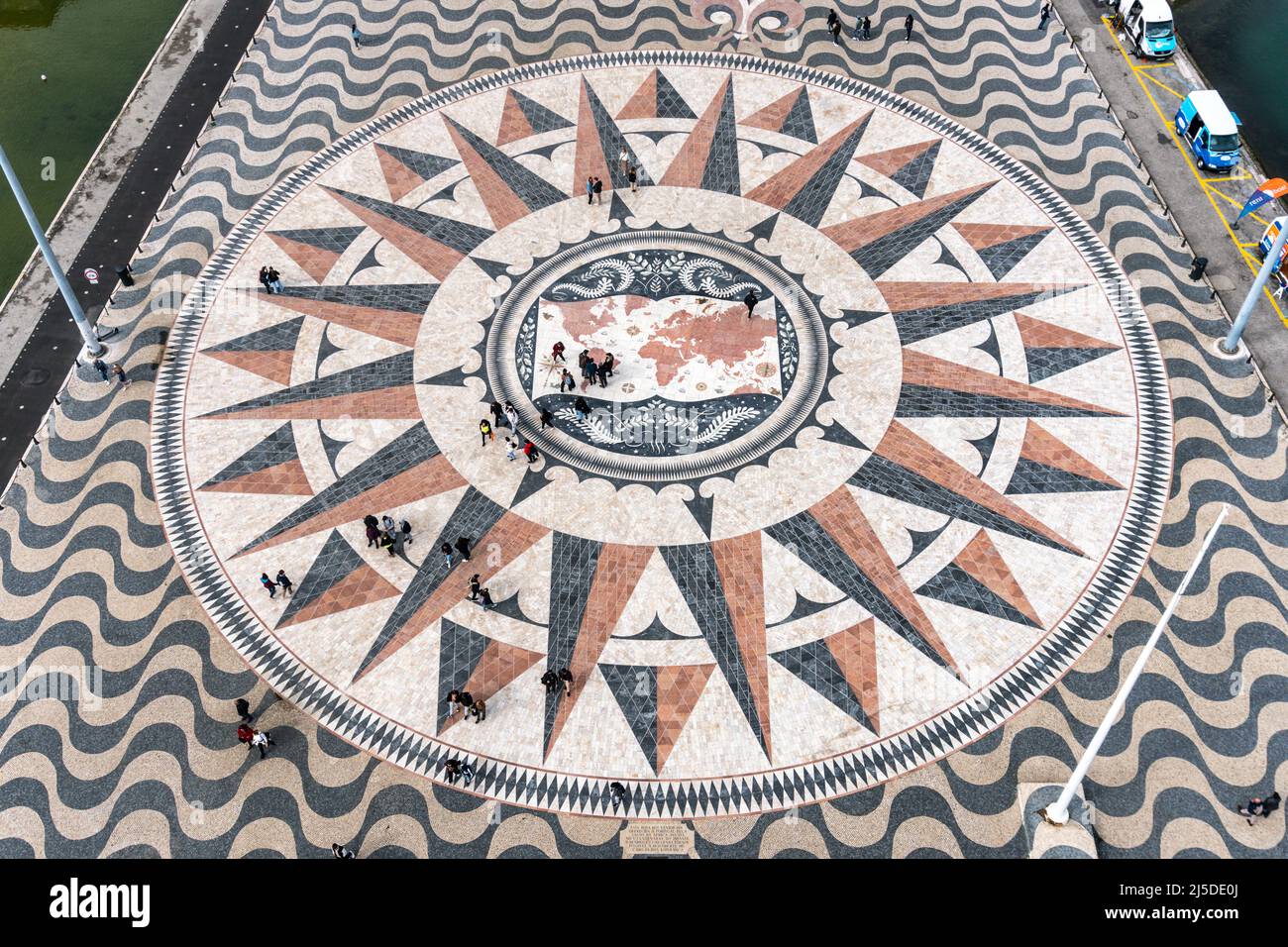 Windrosenmosaik am Fuße des Padrão dos Descobrimentos oder Denkmal der Entdeckungen, in Belém, Lissabon, Portugal, Europa Stock Photohttps://www.alamy.com/image-license-details/?v=1https://www.alamy.com/windrosenmosaik-am-fue-des-padro-dos-descobrimentos-oder-denkmal-der-entdeckungen-in-belm-lissabon-portugal-europa-image468049586.html
RM2J5DE0J–Windrosenmosaik am Fuße des Padrão dos Descobrimentos oder Denkmal der Entdeckungen, in Belém, Lissabon, Portugal, Europa
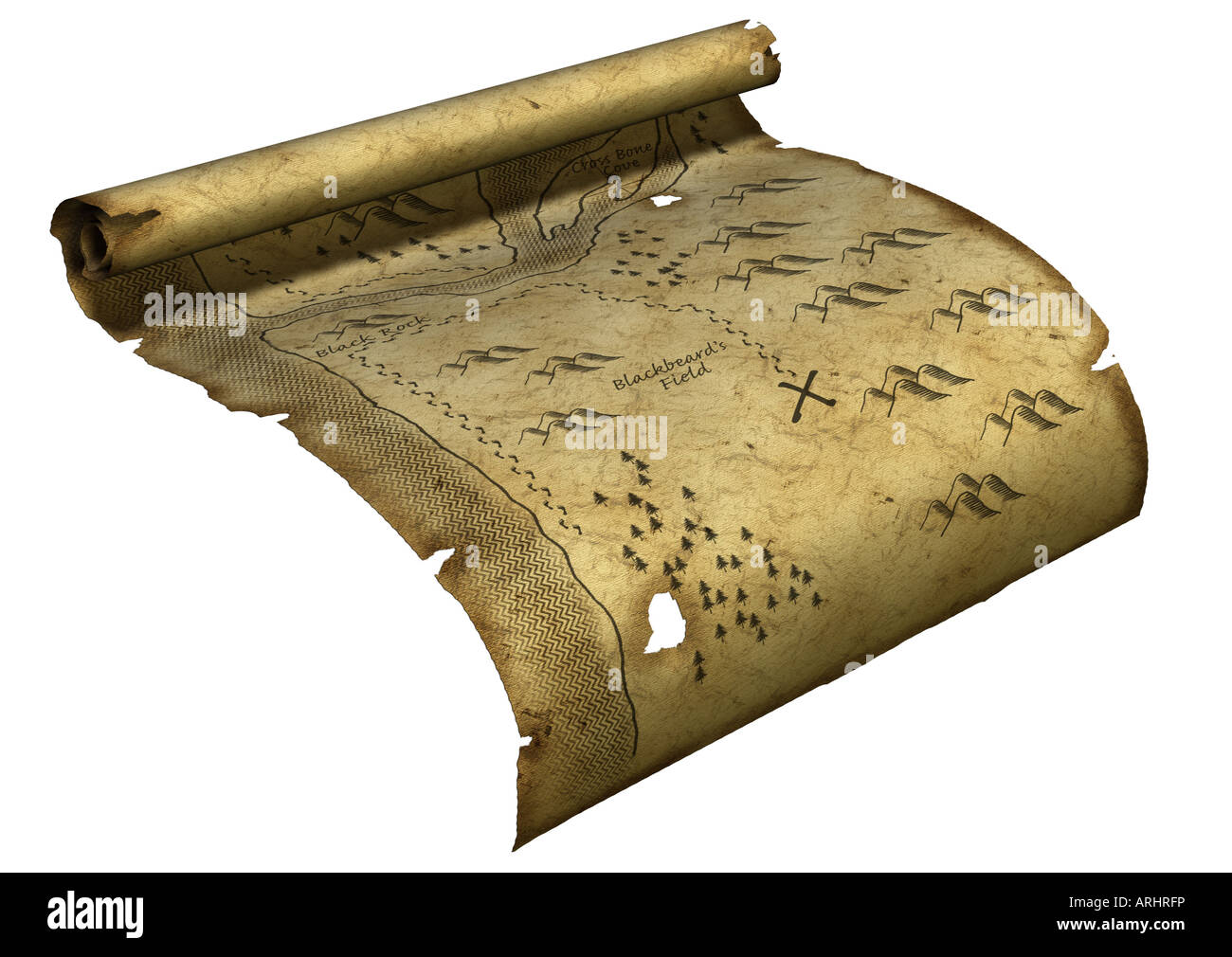 treasury map Stock Photohttps://www.alamy.com/image-license-details/?v=1https://www.alamy.com/stock-photo-treasury-map-16061097.html
RMARHRFP–treasury map
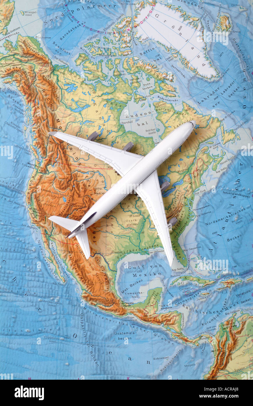 airplane on a map of north america Flugzeug auf einer Karte von USA Nordamerika Kanada Stock Photohttps://www.alamy.com/image-license-details/?v=1https://www.alamy.com/airplane-on-a-map-of-north-america-flugzeug-auf-einer-karte-von-usa-image7551655.html
RMACRAJ8–airplane on a map of north america Flugzeug auf einer Karte von USA Nordamerika Kanada
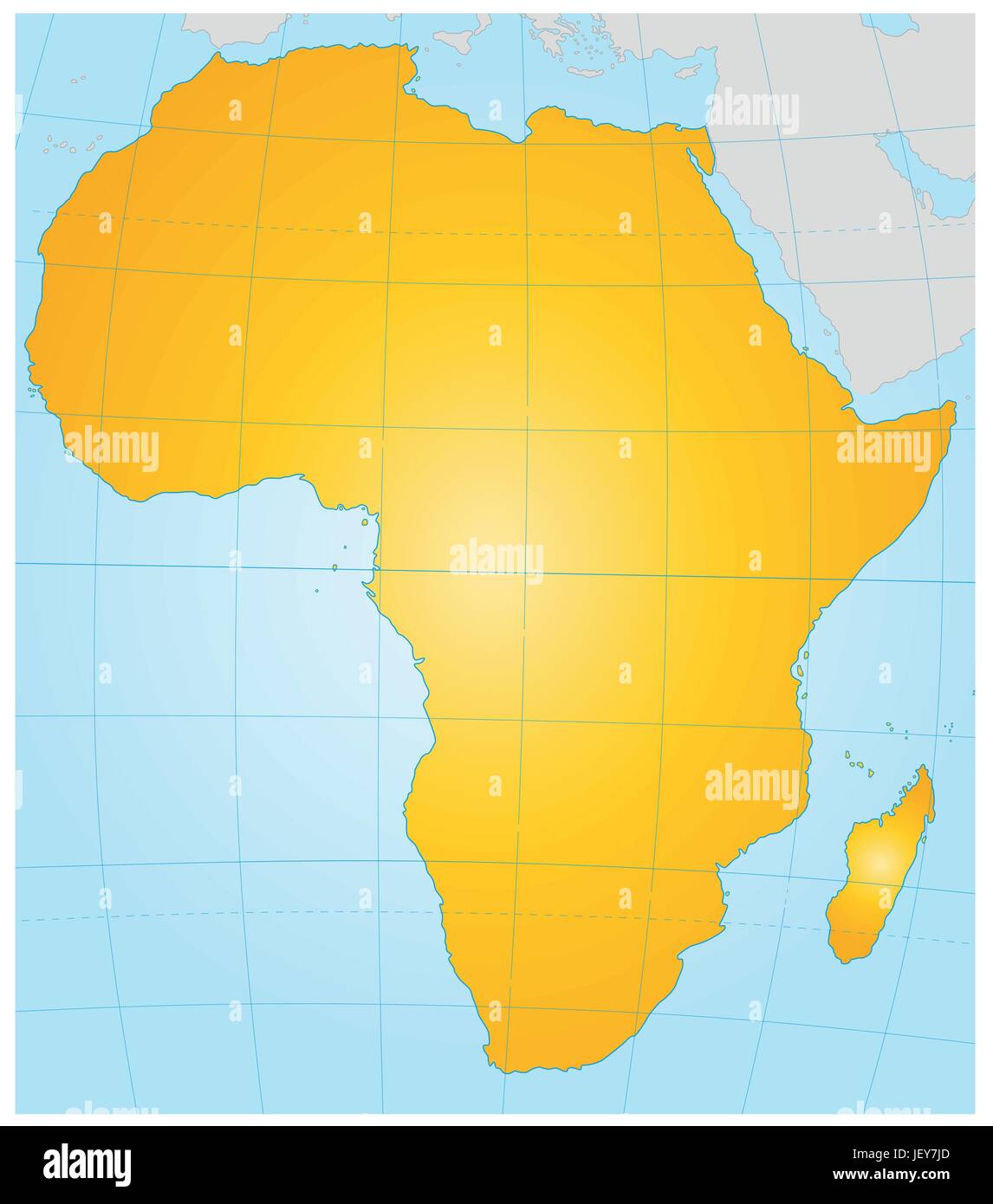 karte landkarte Stock Vectorhttps://www.alamy.com/image-license-details/?v=1https://www.alamy.com/stock-photo-karte-landkarte-146886837.html
RFJEY7JD–karte landkarte
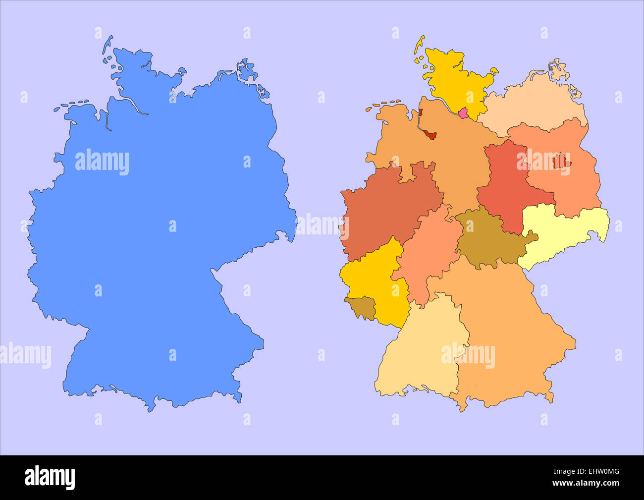 map of germany with countries Stock Photohttps://www.alamy.com/image-license-details/?v=1https://www.alamy.com/stock-photo-map-of-germany-with-countries-79840000.html
RFEHW0MG–map of germany with countries
 Berlin Mitte Alexanderplatz Alexander Platz Square Stock Photohttps://www.alamy.com/image-license-details/?v=1https://www.alamy.com/stock-photo-berlin-mitte-alexanderplatz-alexander-platz-square-27676372.html
RMBH0NDT–Berlin Mitte Alexanderplatz Alexander Platz Square
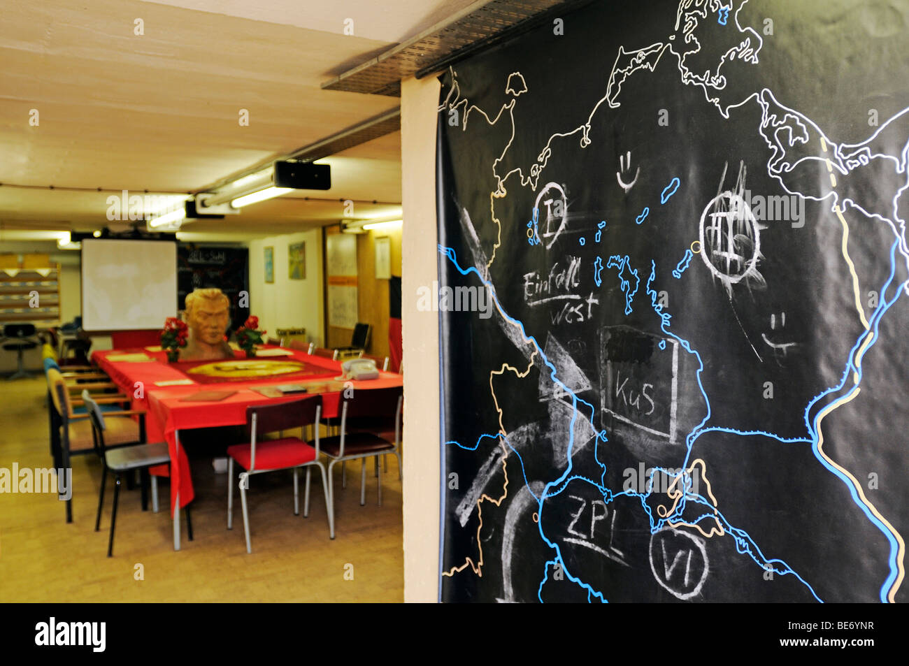 Meeting room with maps and invasion scenario, Bunkermuseum museum Frauenwald, Thuringia, Germany, Europe Stock Photohttps://www.alamy.com/image-license-details/?v=1https://www.alamy.com/stock-photo-meeting-room-with-maps-and-invasion-scenario-bunkermuseum-museum-frauenwald-25969043.html
RMBE6YNR–Meeting room with maps and invasion scenario, Bunkermuseum museum Frauenwald, Thuringia, Germany, Europe
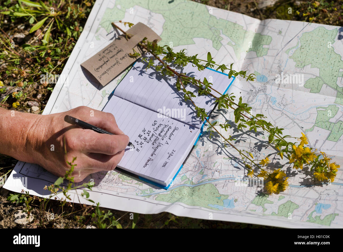 Echtes Johanniskraut, Tuepfel-Hartheu, Tuepfelhartheu, Tuepfel-Johanniskraut, Tuepfeljohanniskraut, Johanniskraut (Hypericum per Stock Photohttps://www.alamy.com/image-license-details/?v=1https://www.alamy.com/stock-photo-echtes-johanniskraut-tuepfel-hartheu-tuepfelhartheu-tuepfel-johanniskraut-120503955.html
RMH01C0K–Echtes Johanniskraut, Tuepfel-Hartheu, Tuepfelhartheu, Tuepfel-Johanniskraut, Tuepfeljohanniskraut, Johanniskraut (Hypericum per
 EU-Fahnen mit Landkarte von Europa Stock Photohttps://www.alamy.com/image-license-details/?v=1https://www.alamy.com/stock-photo-eu-fahnen-mit-landkarte-von-europa-129453010.html
RMHEH2HP–EU-Fahnen mit Landkarte von Europa
 Venedig, Arsenale, Biennale 2024 // Venice, Arsenale, Biennale 2024 Stock Photohttps://www.alamy.com/image-license-details/?v=1https://www.alamy.com/venedig-arsenale-biennale-2024-venice-arsenale-biennale-2024-image616129625.html
RM2XPB3HD–Venedig, Arsenale, Biennale 2024 // Venice, Arsenale, Biennale 2024
 Hinweistafel im Norris Geyser Basin Stock Photohttps://www.alamy.com/image-license-details/?v=1https://www.alamy.com/hinweistafel-im-norris-geyser-basin-image339536273.html
RM2AMB5YD–Hinweistafel im Norris Geyser Basin
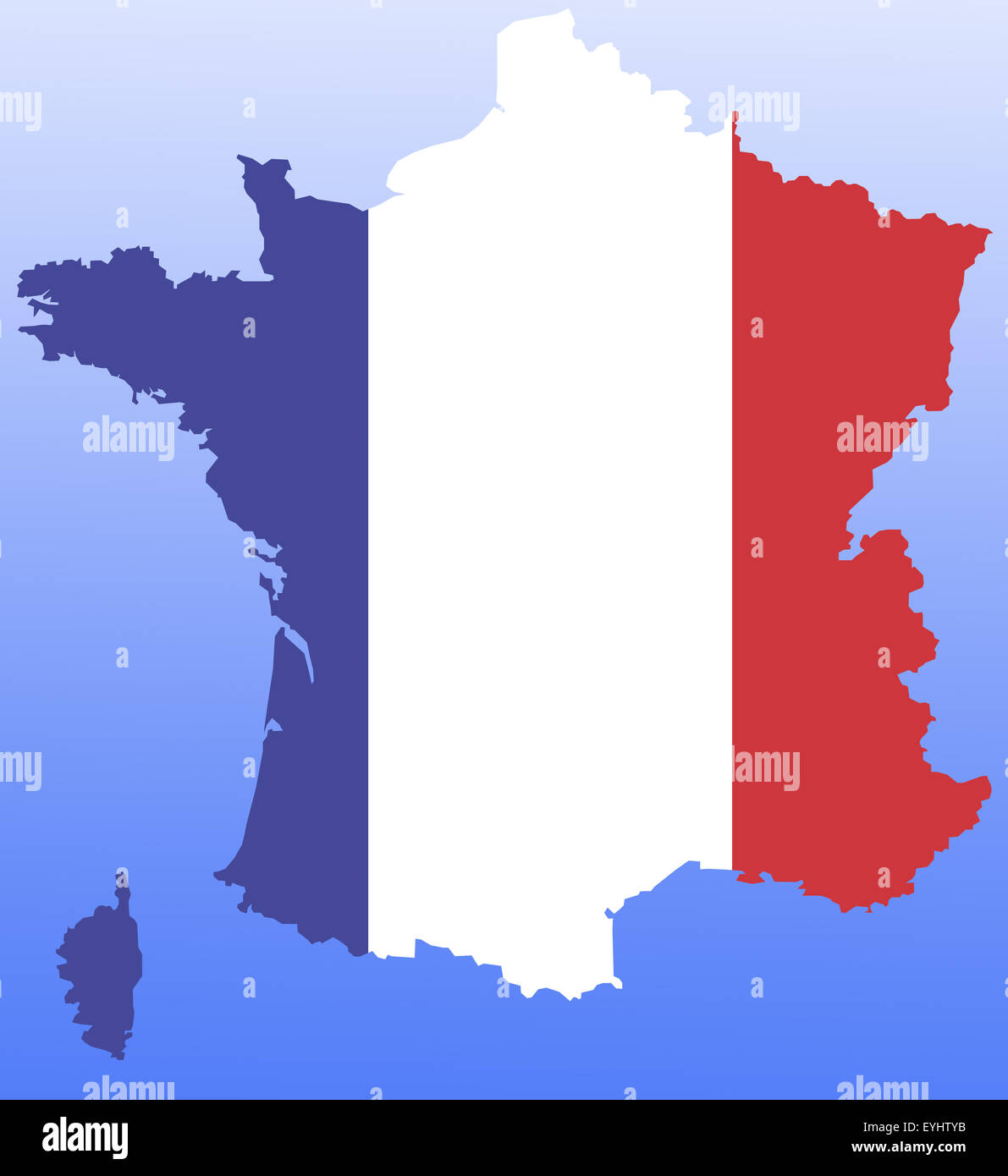 Symbolbild: Frankreich: Laenderumriss mit Flagge/ symbolic image: France: outline and flag. Stock Photohttps://www.alamy.com/image-license-details/?v=1https://www.alamy.com/stock-photo-symbolbild-frankreich-laenderumriss-mit-flagge-symbolic-image-france-85829951.html
RFEYHTYB–Symbolbild: Frankreich: Laenderumriss mit Flagge/ symbolic image: France: outline and flag.
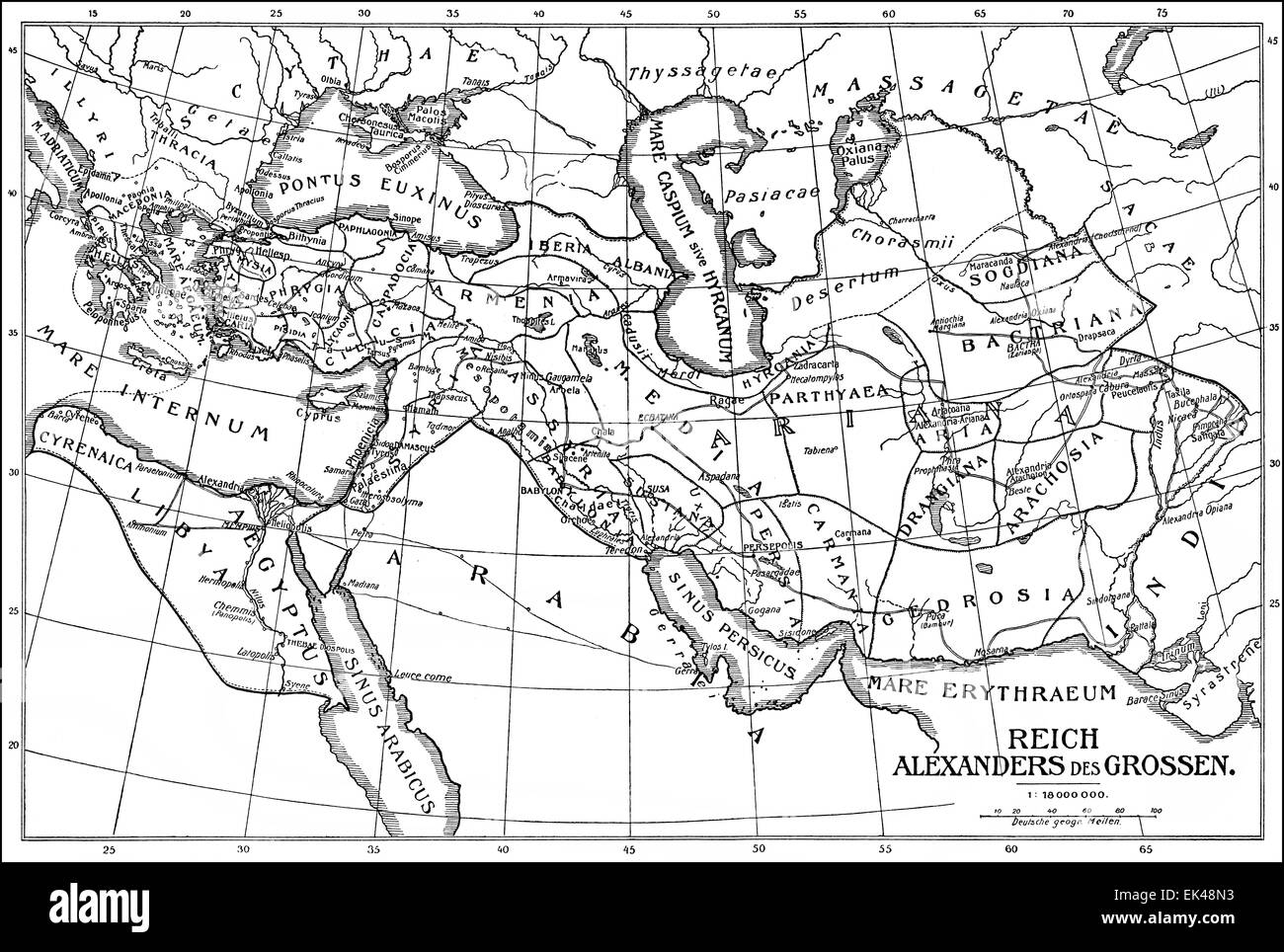 Historical map of the Empire of Alexander the Great or Alexander III of Macedon, 356-323 BC, Stock Photohttps://www.alamy.com/image-license-details/?v=1https://www.alamy.com/stock-photo-historical-map-of-the-empire-of-alexander-the-great-or-alexander-iii-80614607.html
RMEK48N3–Historical map of the Empire of Alexander the Great or Alexander III of Macedon, 356-323 BC,