Quick filters:
Map of dunfermline Stock Photos and Images
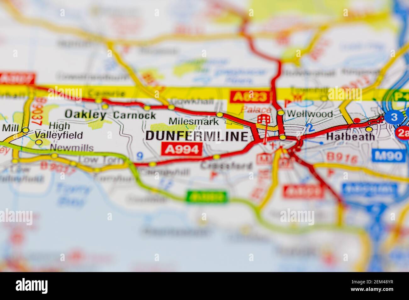 Dunfermline shown on a road map or geography map Stock Photohttps://www.alamy.com/image-license-details/?v=1https://www.alamy.com/dunfermline-shown-on-a-road-map-or-geography-map-image408226443.html
RM2EM48YR–Dunfermline shown on a road map or geography map
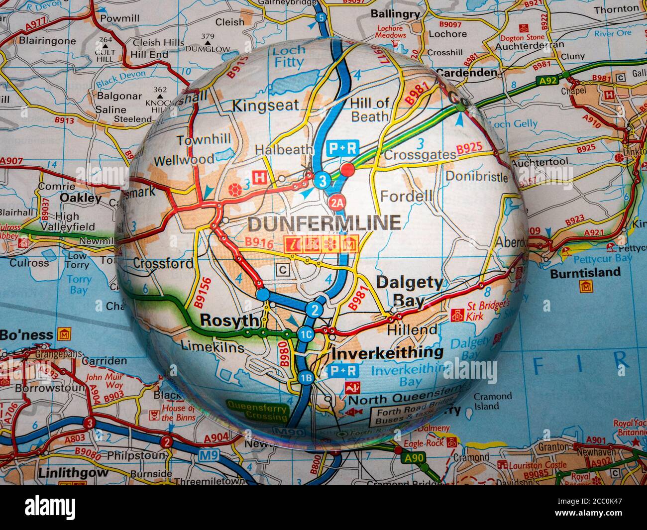 Closeup of a dome shaped magnifying glass over a page of a British road atlas map, with the Dunfermline area of Scotland enlarged for a closer view. Stock Photohttps://www.alamy.com/image-license-details/?v=1https://www.alamy.com/closeup-of-a-dome-shaped-magnifying-glass-over-a-page-of-a-british-road-atlas-map-with-the-dunfermline-area-of-scotland-enlarged-for-a-closer-view-image368808615.html
RM2CC0K47–Closeup of a dome shaped magnifying glass over a page of a British road atlas map, with the Dunfermline area of Scotland enlarged for a closer view.
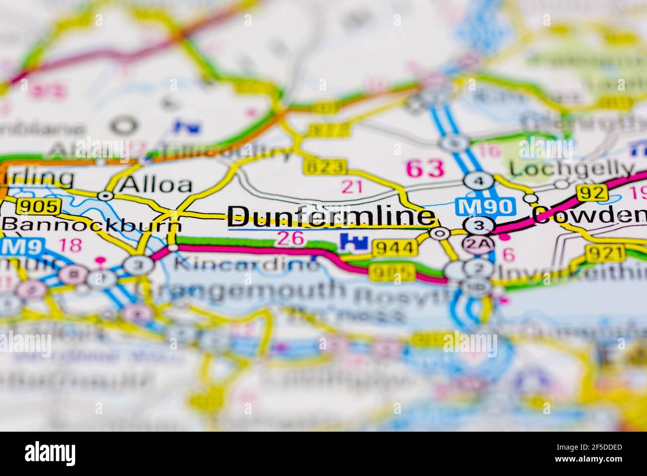 Dunfermline and surrounding areas Shown on a Geography map or road map Stock Photohttps://www.alamy.com/image-license-details/?v=1https://www.alamy.com/dunfermline-and-surrounding-areas-shown-on-a-geography-map-or-road-map-image416418085.html
RM2F5DDED–Dunfermline and surrounding areas Shown on a Geography map or road map
 Map of Dunfermline, Fife, Scotland; 19th century; Black and white illustration from 'Our Own Country' a Descriptive, Historical and Pictorial guide to the UK published in late 1880s by Cassell, Petter, Galpin & Co. Historic pictures of Briatin. Stock Photohttps://www.alamy.com/image-license-details/?v=1https://www.alamy.com/map-of-dunfermline-fife-scotland-19th-century-black-and-white-illustration-from-our-own-country-a-descriptive-historical-and-pictorial-guide-to-the-uk-published-in-late-1880s-by-cassell-petter-galpin-co-historic-pictures-of-briatin-image598395512.html
RM2WNF7G8–Map of Dunfermline, Fife, Scotland; 19th century; Black and white illustration from 'Our Own Country' a Descriptive, Historical and Pictorial guide to the UK published in late 1880s by Cassell, Petter, Galpin & Co. Historic pictures of Briatin.
 Dunfermline Palace engraving by William Miller after W Brown Stock Photohttps://www.alamy.com/image-license-details/?v=1https://www.alamy.com/stock-photo-dunfermline-palace-engraving-by-william-miller-after-w-brown-142890004.html
RMJ8D5JC–Dunfermline Palace engraving by William Miller after W Brown
 Dunfermline, Great Britain pin on map Stock Photohttps://www.alamy.com/image-license-details/?v=1https://www.alamy.com/dunfermline-great-britain-pin-on-map-image618079797.html
RF2XWFY2D–Dunfermline, Great Britain pin on map
 Scotia Depicta - Dunfermline Abbey and Mill -Plate- Stock Photohttps://www.alamy.com/image-license-details/?v=1https://www.alamy.com/stock-photo-scotia-depicta-dunfermline-abbey-and-mill-plate-147673535.html
RMJG732R–Scotia Depicta - Dunfermline Abbey and Mill -Plate-
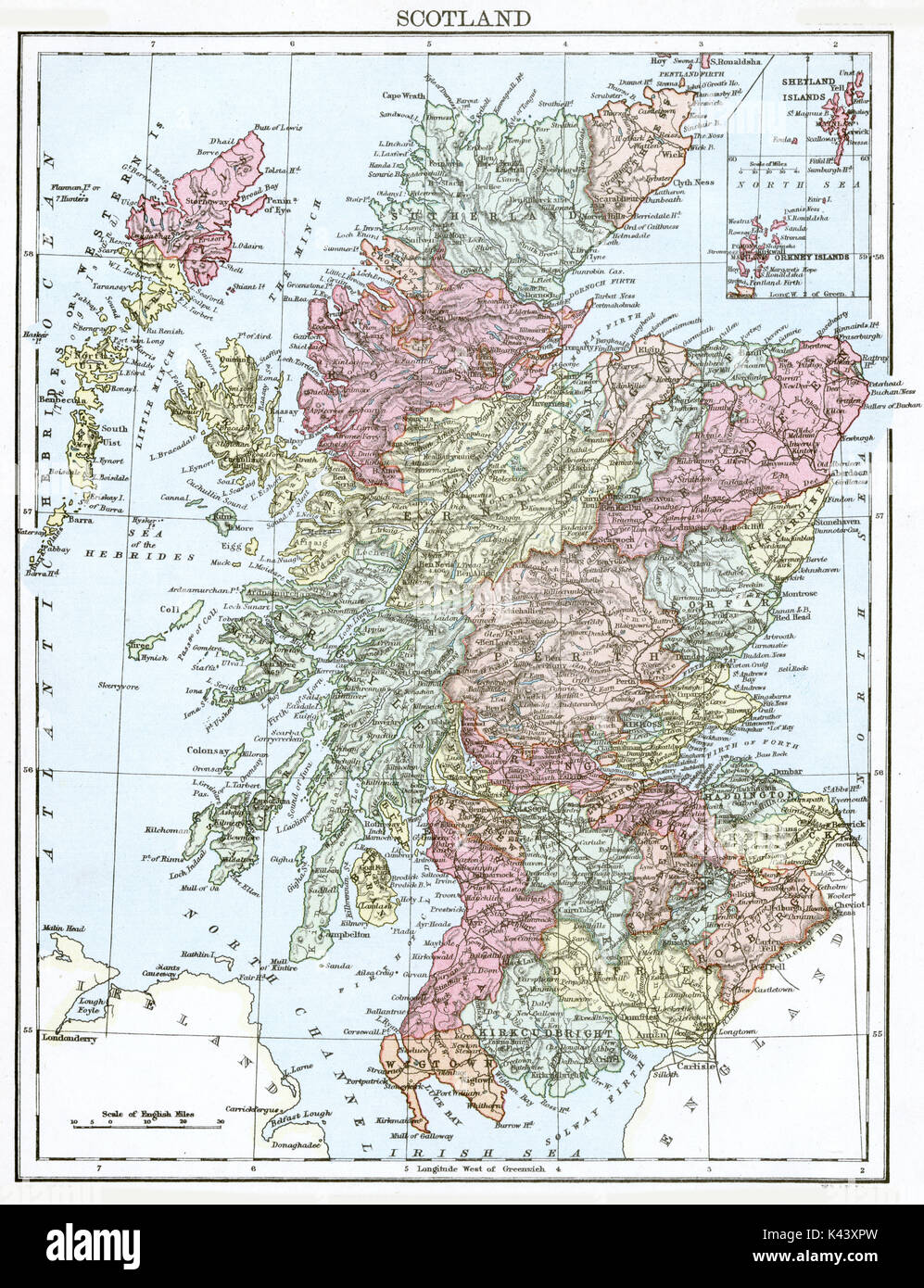 Antique map, circa 1875, of Scotland Stock Photohttps://www.alamy.com/image-license-details/?v=1https://www.alamy.com/antique-map-circa-1875-of-scotland-image157438817.html
RMK43XPW–Antique map, circa 1875, of Scotland
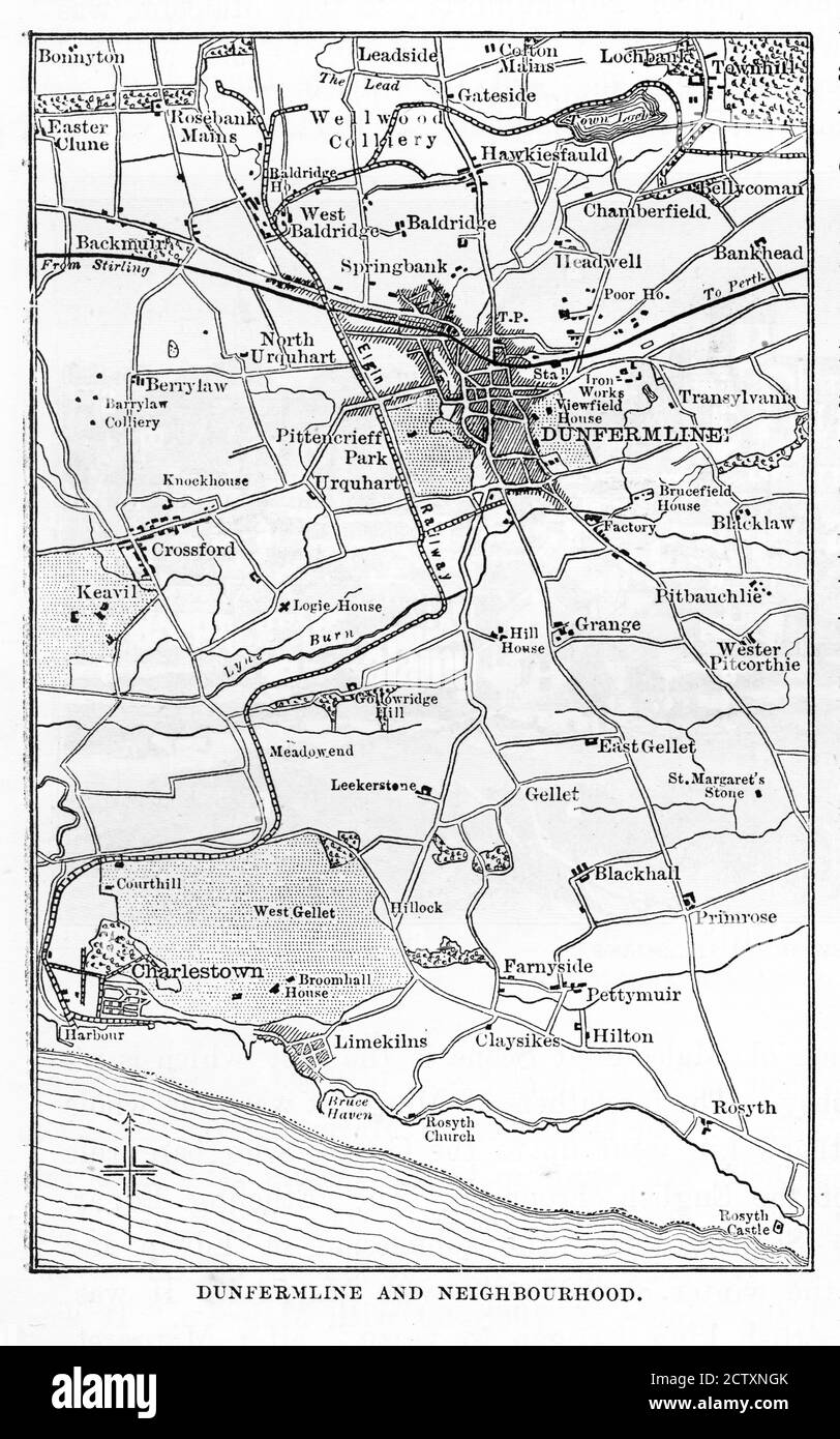 Victorian Map of Dunfermline, England Engraving, Circa 1840 Stock Photohttps://www.alamy.com/image-license-details/?v=1https://www.alamy.com/victorian-map-of-dunfermline-england-engraving-circa-1840-image376757155.html
RM2CTXNGK–Victorian Map of Dunfermline, England Engraving, Circa 1840
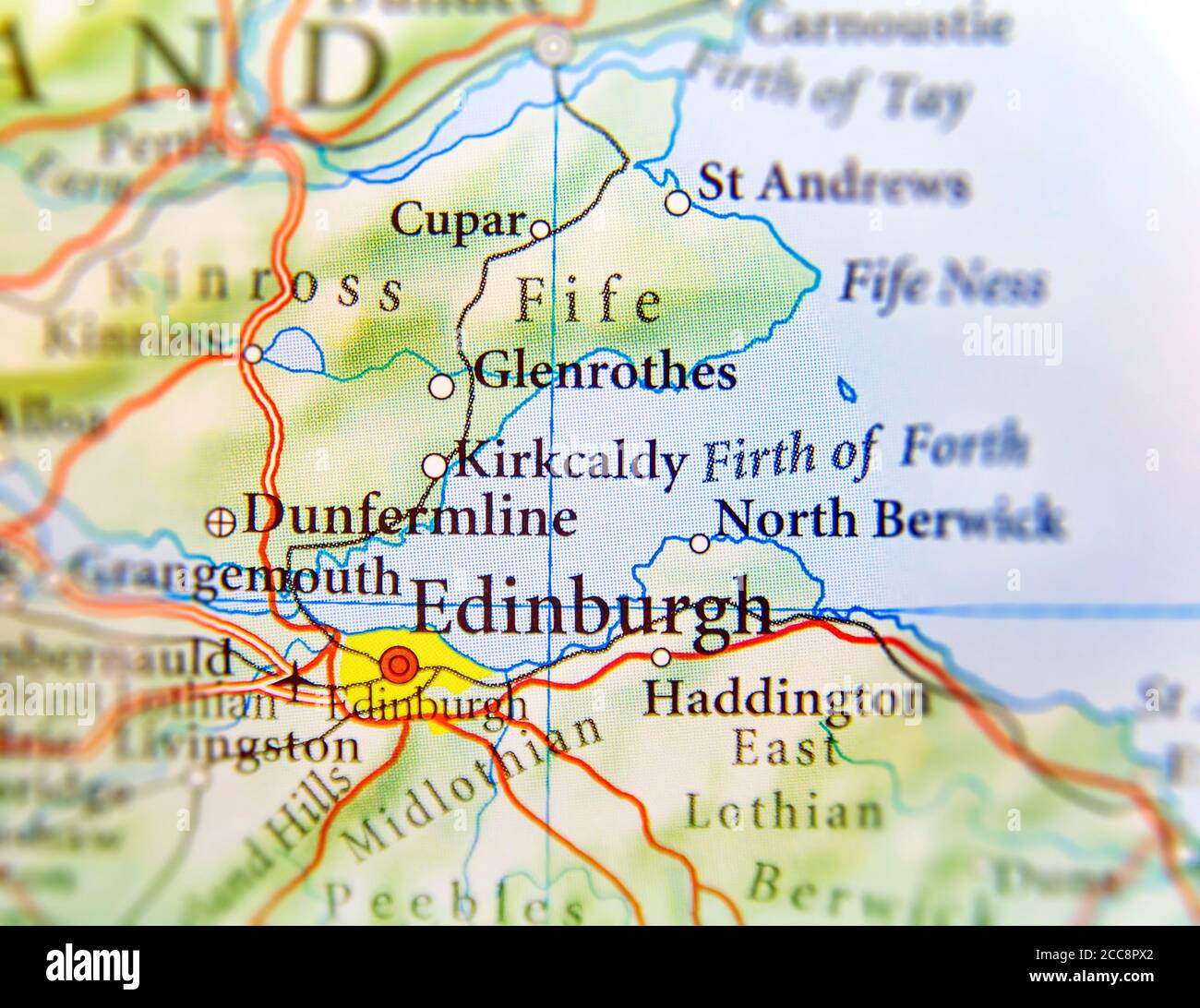 Geographic map of European country Scotland with Edinburgh capital city Stock Photohttps://www.alamy.com/image-license-details/?v=1https://www.alamy.com/geographic-map-of-european-country-scotland-with-edinburgh-capital-city-image368987194.html
RF2CC8PX2–Geographic map of European country Scotland with Edinburgh capital city
 Dunfermline, Fulton County, US, United States, Illinois, N 40 29' 28'', S 90 1' 54'', map, Cartascapes Map published in 2024. Explore Cartascapes, a map revealing Earth's diverse landscapes, cultures, and ecosystems. Journey through time and space, discovering the interconnectedness of our planet's past, present, and future. Stock Photohttps://www.alamy.com/image-license-details/?v=1https://www.alamy.com/dunfermline-fulton-county-us-united-states-illinois-n-40-29-28-s-90-1-54-map-cartascapes-map-published-in-2024-explore-cartascapes-a-map-revealing-earths-diverse-landscapes-cultures-and-ecosystems-journey-through-time-and-space-discovering-the-interconnectedness-of-our-planets-past-present-and-future-image621227818.html
RM2Y2KABP–Dunfermline, Fulton County, US, United States, Illinois, N 40 29' 28'', S 90 1' 54'', map, Cartascapes Map published in 2024. Explore Cartascapes, a map revealing Earth's diverse landscapes, cultures, and ecosystems. Journey through time and space, discovering the interconnectedness of our planet's past, present, and future.
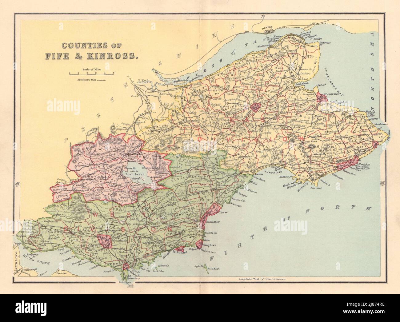 FIFESHIRE & KINROSS-SHIRE county map Dunfermline St Andrews Parishes LIZARS 1895 Stock Photohttps://www.alamy.com/image-license-details/?v=1https://www.alamy.com/fifeshire-kinross-shire-county-map-dunfermline-st-andrews-parishes-lizars-1895-image469754642.html
RF2J874RE–FIFESHIRE & KINROSS-SHIRE county map Dunfermline St Andrews Parishes LIZARS 1895
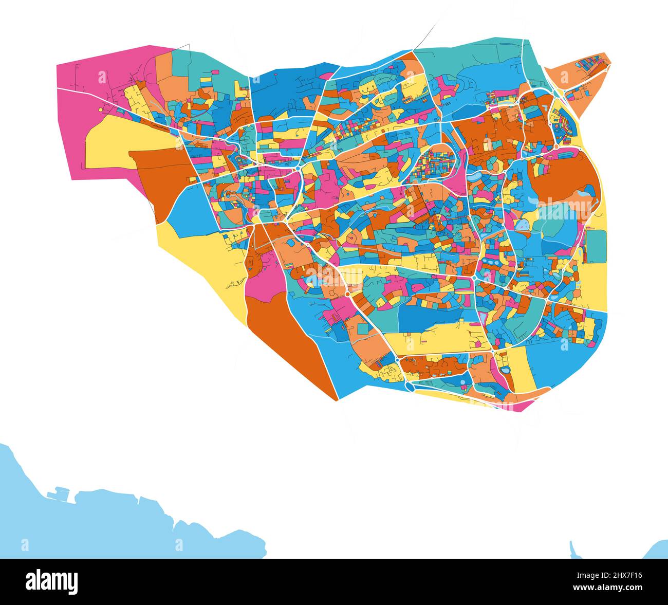 Dunfermline, Fife, Schottland colorful high resolution vector art map with city boundaries. White outlines for main roads. Many details. Blue shapes f Stock Vectorhttps://www.alamy.com/image-license-details/?v=1https://www.alamy.com/dunfermline-fife-schottland-colorful-high-resolution-vector-art-map-with-city-boundaries-white-outlines-for-main-roads-many-details-blue-shapes-f-image463616082.html
RF2HX7F16–Dunfermline, Fife, Schottland colorful high resolution vector art map with city boundaries. White outlines for main roads. Many details. Blue shapes f
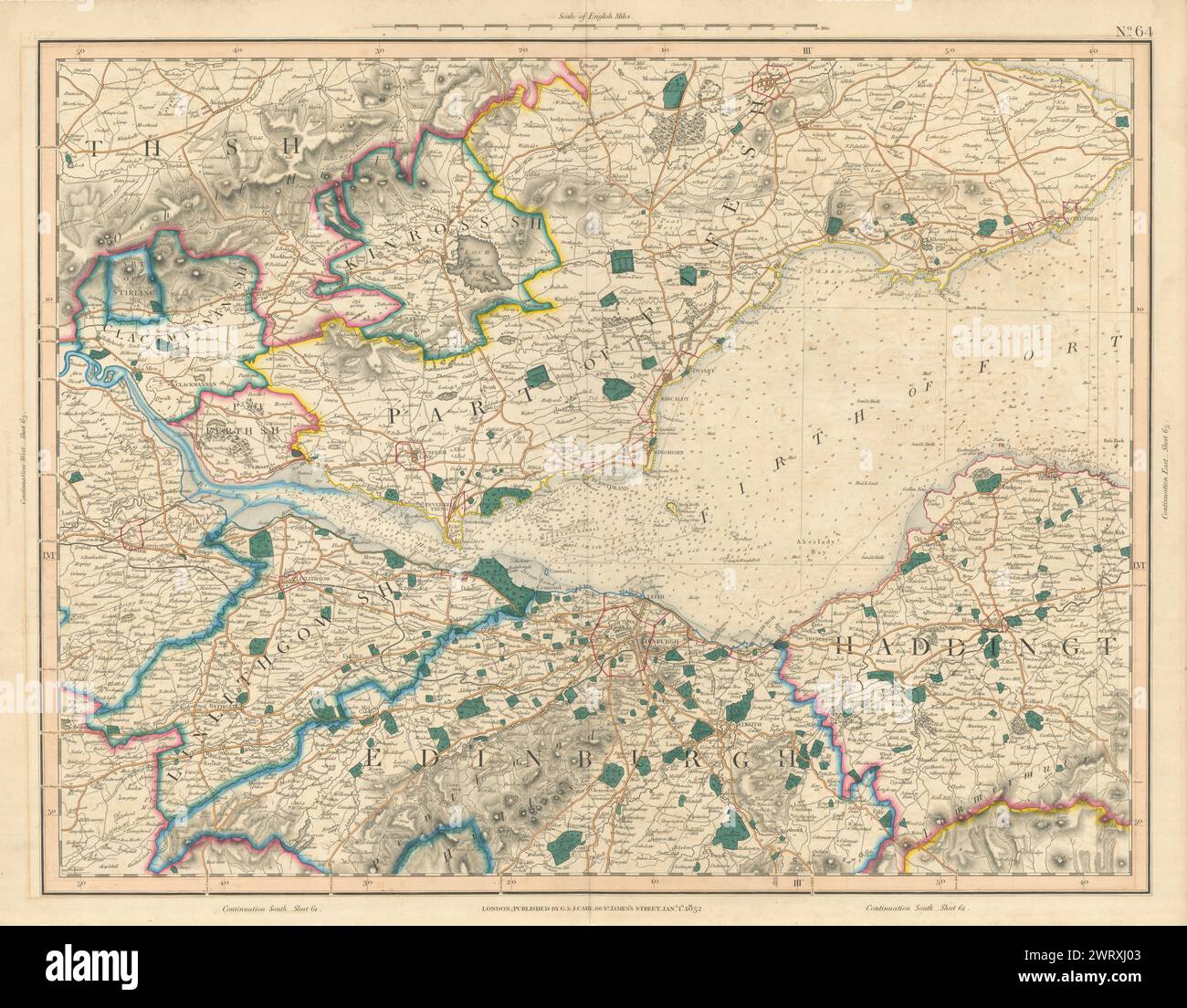 FIRTH OF FORTH. Fife & Lothian. Linlithgow Edinburgh Dunfermline. CARY 1832 map Stock Photohttps://www.alamy.com/image-license-details/?v=1https://www.alamy.com/firth-of-forth-fife-lothian-linlithgow-edinburgh-dunfermline-cary-1832-map-image599874467.html
RF2WRXJ03–FIRTH OF FORTH. Fife & Lothian. Linlithgow Edinburgh Dunfermline. CARY 1832 map
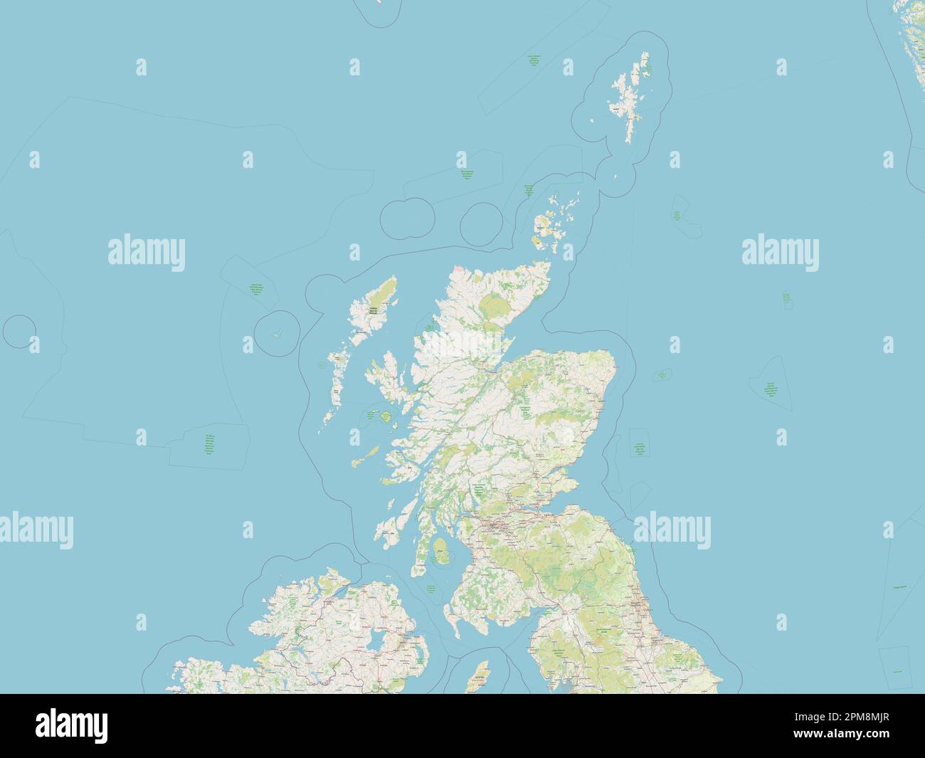 Scotland, region of United Kingdom. Open Street Map Stock Photohttps://www.alamy.com/image-license-details/?v=1https://www.alamy.com/scotland-region-of-united-kingdom-open-street-map-image546006351.html
RF2PM8MJR–Scotland, region of United Kingdom. Open Street Map
 . Slater's (late Pigot & Co.'s) Royal national commercial directory and topography of Scotland : with a general alphabetical and referential list of the nobility, gentry, and clergy; embellished with a large new map of Scotland, engraved on steel . Have Receiving Offices, from which Goods and Parcels can be forwarded to anypart of the United Kingdom, or Information obtained as to Rates, &c, inAberdeen, Arbroath, Alloa, Dundee, Dumbarton, Denny, Dunfermline, Elgin,Falkirk, Forres, Fochabers, Glasgow (at 10, North Queen-street, 11, Ann-street,and 40, Candleriggs), Helensburgh, Inverness, Keith, Stock Photohttps://www.alamy.com/image-license-details/?v=1https://www.alamy.com/slaters-late-pigot-cos-royal-national-commercial-directory-and-topography-of-scotland-with-a-general-alphabetical-and-referential-list-of-the-nobility-gentry-and-clergy-embellished-with-a-large-new-map-of-scotland-engraved-on-steel-have-receiving-offices-from-which-goods-and-parcels-can-be-forwarded-to-anypart-of-the-united-kingdom-or-information-obtained-as-to-rates-c-inaberdeen-arbroath-alloa-dundee-dumbarton-denny-dunfermline-elginfalkirk-forres-fochabers-glasgow-at-10-north-queen-street-11-ann-streetand-40-candleriggs-helensburgh-inverness-keith-image369704034.html
RM2CDDD7E–. Slater's (late Pigot & Co.'s) Royal national commercial directory and topography of Scotland : with a general alphabetical and referential list of the nobility, gentry, and clergy; embellished with a large new map of Scotland, engraved on steel . Have Receiving Offices, from which Goods and Parcels can be forwarded to anypart of the United Kingdom, or Information obtained as to Rates, &c, inAberdeen, Arbroath, Alloa, Dundee, Dumbarton, Denny, Dunfermline, Elgin,Falkirk, Forres, Fochabers, Glasgow (at 10, North Queen-street, 11, Ann-street,and 40, Candleriggs), Helensburgh, Inverness, Keith,
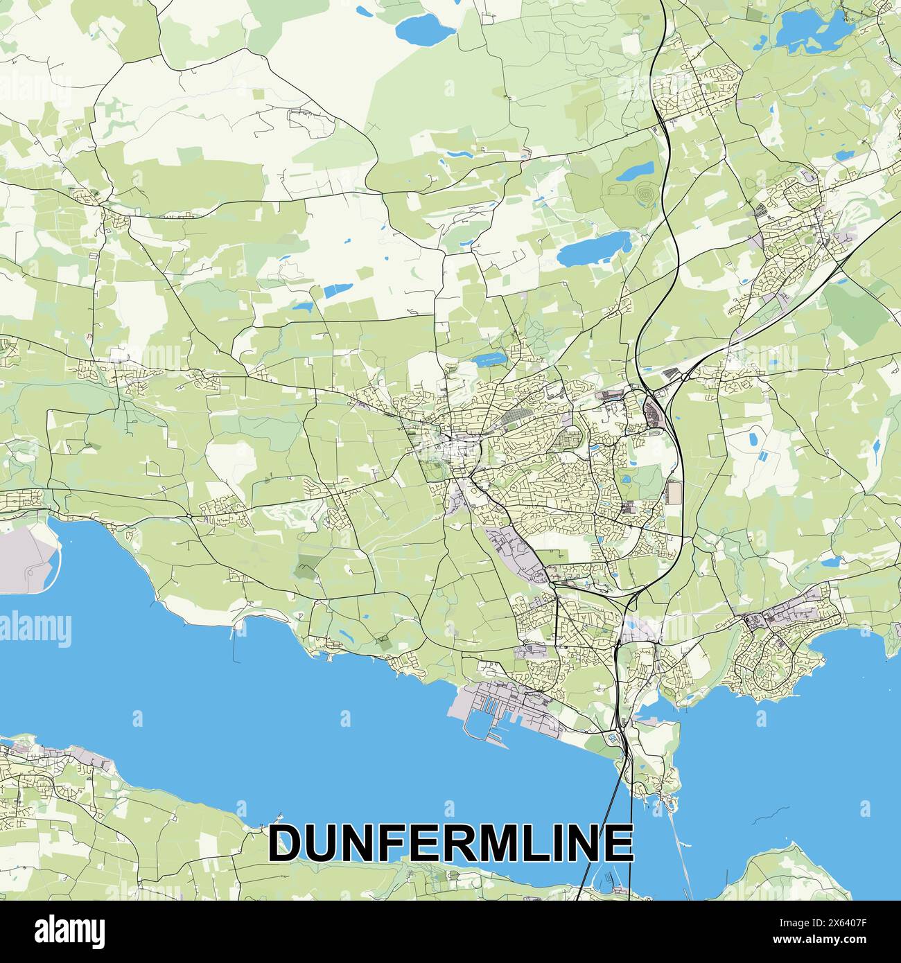 Dunfermline, United Kingdom map poster art Stock Vectorhttps://www.alamy.com/image-license-details/?v=1https://www.alamy.com/dunfermline-united-kingdom-map-poster-art-image606138835.html
RF2X6407F–Dunfermline, United Kingdom map poster art
 Reminiscences of Dunfermline and neighbourhood ... With chronological appendix, 1064-1880 Image taken from page 261 of 'Reminiscences of Dunfermline and Stock Photohttps://www.alamy.com/image-license-details/?v=1https://www.alamy.com/stock-photo-reminiscences-of-dunfermline-and-neighbourhood-with-chronological-85923300.html
RMEYP418–Reminiscences of Dunfermline and neighbourhood ... With chronological appendix, 1064-1880 Image taken from page 261 of 'Reminiscences of Dunfermline and
 Scotia Depicta - Plate XIII- Dunfermline Abbey -description- Stock Photohttps://www.alamy.com/image-license-details/?v=1https://www.alamy.com/stock-photo-scotia-depicta-plate-xiii-dunfermline-abbey-description-147673586.html
RMJG734J–Scotia Depicta - Plate XIII- Dunfermline Abbey -description-
 Antique map, circa 1875, of Scotland (16thCentury) Stock Photohttps://www.alamy.com/image-license-details/?v=1https://www.alamy.com/antique-map-circa-1875-of-scotland-16thcentury-image157438821.html
RMK43XR1–Antique map, circa 1875, of Scotland (16thCentury)
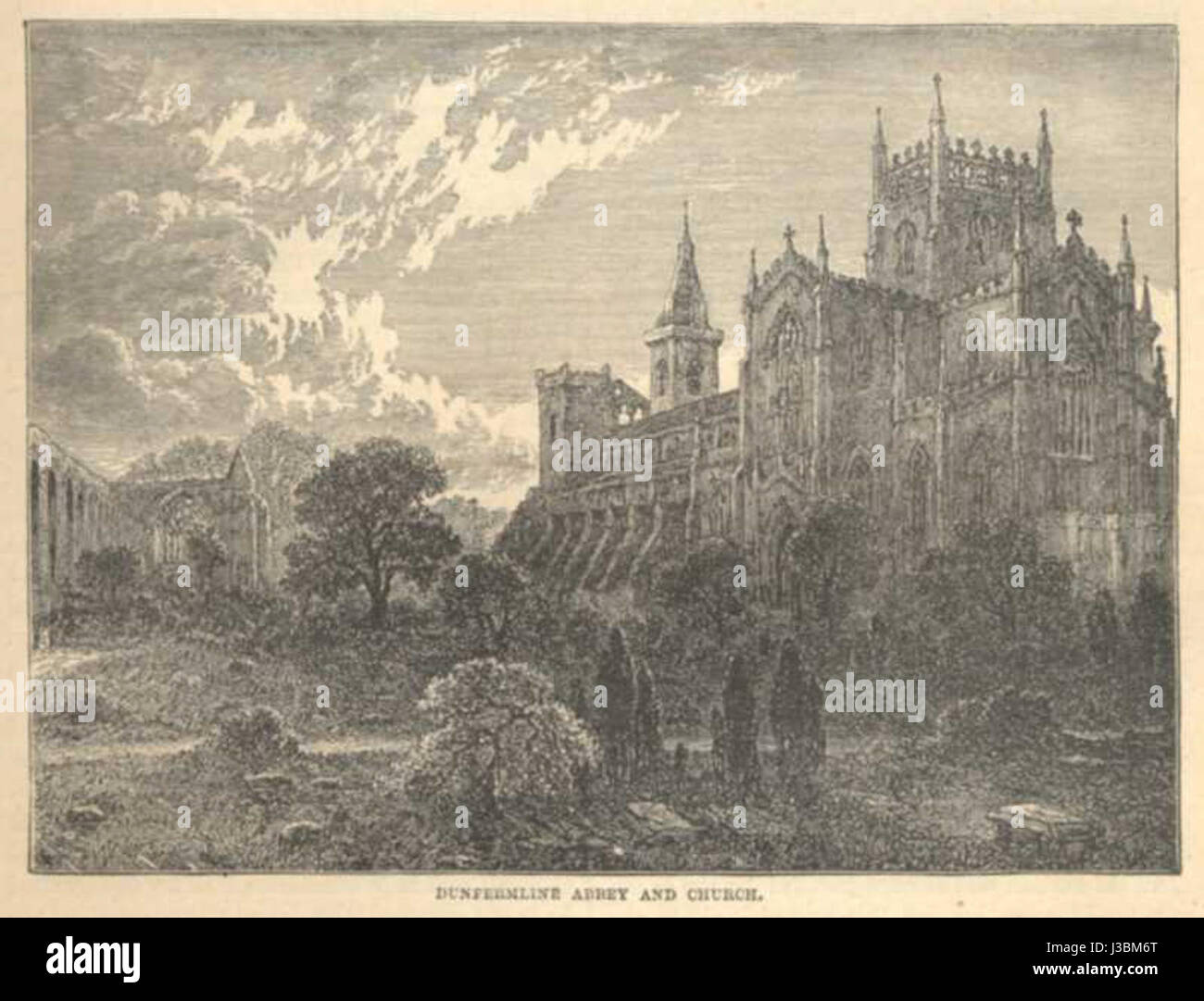 Dunfermline Abbey Stock Photohttps://www.alamy.com/image-license-details/?v=1https://www.alamy.com/stock-photo-dunfermline-abbey-139784256.html
RMJ3BM6T–Dunfermline Abbey
 Dunfermline, Fulton County, US, United States, Illinois, N 40 29' 28'', S 90 1' 54'', map, Cartascapes Map published in 2024. Explore Cartascapes, a map revealing Earth's diverse landscapes, cultures, and ecosystems. Journey through time and space, discovering the interconnectedness of our planet's past, present, and future. Stock Photohttps://www.alamy.com/image-license-details/?v=1https://www.alamy.com/dunfermline-fulton-county-us-united-states-illinois-n-40-29-28-s-90-1-54-map-cartascapes-map-published-in-2024-explore-cartascapes-a-map-revealing-earths-diverse-landscapes-cultures-and-ecosystems-journey-through-time-and-space-discovering-the-interconnectedness-of-our-planets-past-present-and-future-image620738408.html
RM2Y1W24T–Dunfermline, Fulton County, US, United States, Illinois, N 40 29' 28'', S 90 1' 54'', map, Cartascapes Map published in 2024. Explore Cartascapes, a map revealing Earth's diverse landscapes, cultures, and ecosystems. Journey through time and space, discovering the interconnectedness of our planet's past, present, and future.
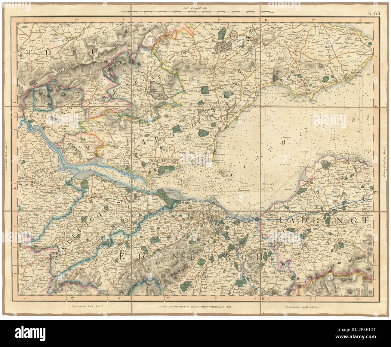 FIRTH OF FORTH. Fife & Lothian. Linlithgow Edinburgh Dunfermline. CARY 1832 map Stock Photohttps://www.alamy.com/image-license-details/?v=1https://www.alamy.com/firth-of-forth-fife-lothian-linlithgow-edinburgh-dunfermline-cary-1832-map-image538747156.html
RF2P8E1DT–FIRTH OF FORTH. Fife & Lothian. Linlithgow Edinburgh Dunfermline. CARY 1832 map
 Scotland, region of United Kingdom. Low resolution satellite map Stock Photohttps://www.alamy.com/image-license-details/?v=1https://www.alamy.com/scotland-region-of-united-kingdom-low-resolution-satellite-map-image546006345.html
RF2PM8MJH–Scotland, region of United Kingdom. Low resolution satellite map
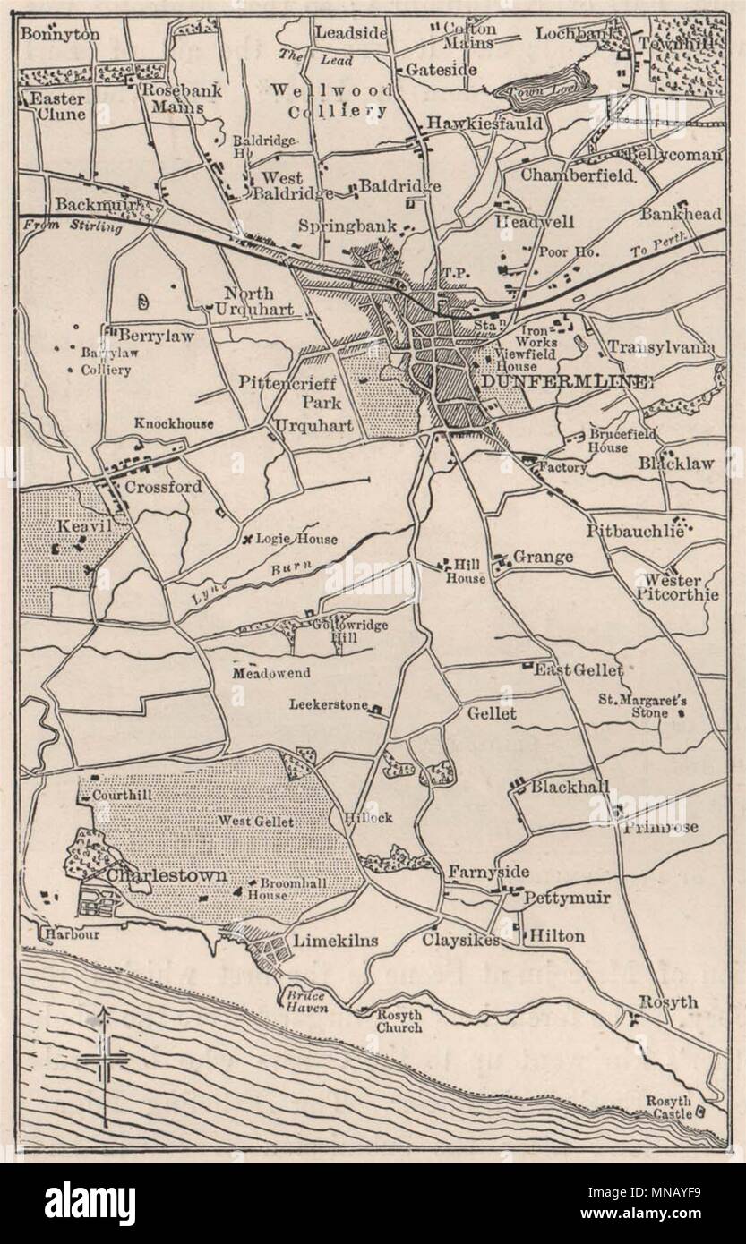 Dunfermline and neighbourhood, Scotland 1898 old antique map plan chart Stock Photohttps://www.alamy.com/image-license-details/?v=1https://www.alamy.com/dunfermline-and-neighbourhood-scotland-1898-old-antique-map-plan-chart-image185252573.html
RFMNAYF9–Dunfermline and neighbourhood, Scotland 1898 old antique map plan chart
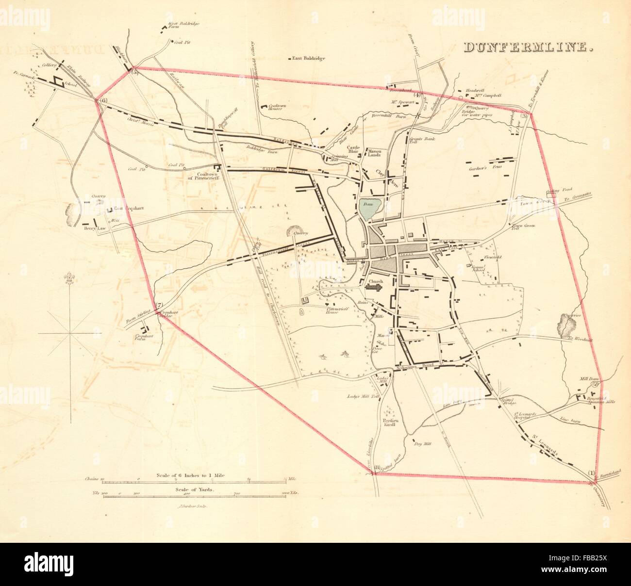 DUNFERMLINE borough/town plan for the REFORM ACT. Scotland, 1832 antique map Stock Photohttps://www.alamy.com/image-license-details/?v=1https://www.alamy.com/stock-photo-dunfermline-boroughtown-plan-for-the-reform-act-scotland-1832-antique-93056262.html
RFFBB25X–DUNFERMLINE borough/town plan for the REFORM ACT. Scotland, 1832 antique map
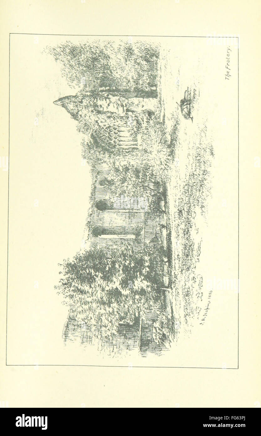 61 of 'Reminiscences of Dunfermline and neighbourhood ... With chronological appendix, 1064-1880' Stock Photohttps://www.alamy.com/image-license-details/?v=1https://www.alamy.com/stock-photo-61-of-reminiscences-of-dunfermline-and-neighbourhood-with-chronological-96021034.html
RFFG63PJ–61 of 'Reminiscences of Dunfermline and neighbourhood ... With chronological appendix, 1064-1880'
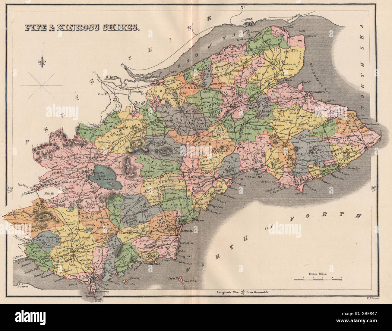 FIFESHIRE & KINROSS-SHIRE:County map.Dunfermline St Andrews.Parishes.LIZARS 1885 Stock Photohttps://www.alamy.com/image-license-details/?v=1https://www.alamy.com/stock-photo-fifeshire-kinross-shirecounty-mapdunfermline-st-andrewsparisheslizars-110337143.html
RFGBE847–FIFESHIRE & KINROSS-SHIRE:County map.Dunfermline St Andrews.Parishes.LIZARS 1885
 EDINBURGH environs. Portobello Leith Dunfermline Dalkeith. WARD LOCK 1922 map Stock Photohttps://www.alamy.com/image-license-details/?v=1https://www.alamy.com/edinburgh-environs-portobello-leith-dunfermline-dalkeith-ward-lock-1922-map-image268803042.html
RFWH910J–EDINBURGH environs. Portobello Leith Dunfermline Dalkeith. WARD LOCK 1922 map
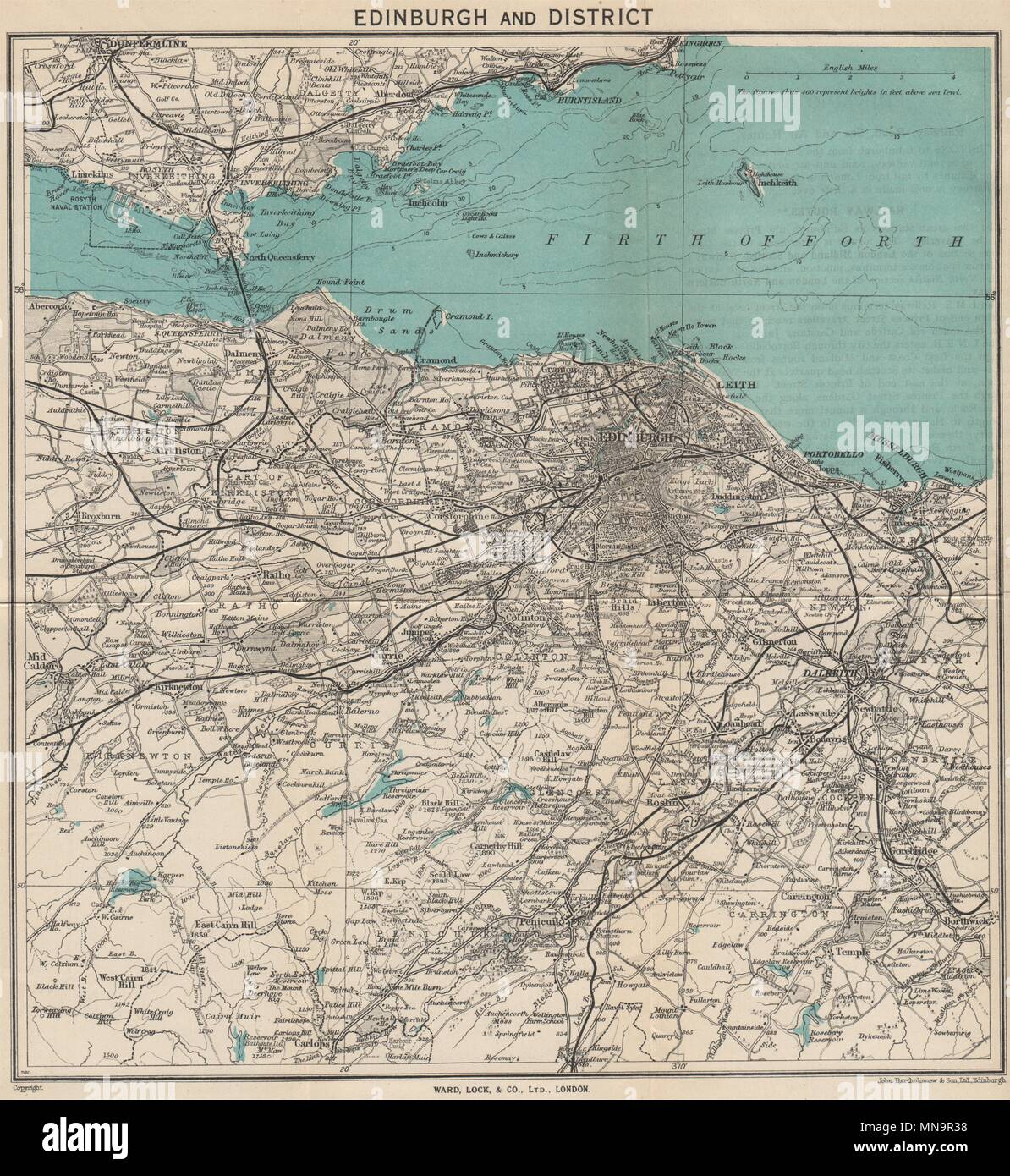 EDINBURGH environs. Portobello Leith Dunfermline Dalkeith. WARD LOCK 1947 map Stock Photohttps://www.alamy.com/image-license-details/?v=1https://www.alamy.com/edinburgh-environs-portobello-leith-dunfermline-dalkeith-ward-lock-1947-map-image185227148.html
RFMN9R38–EDINBURGH environs. Portobello Leith Dunfermline Dalkeith. WARD LOCK 1947 map
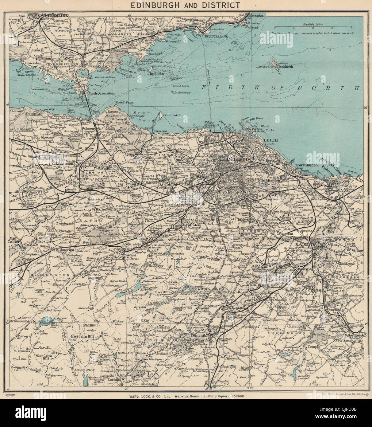 EDINBURGH environs. Portobello Leith Dunfermline Dalkeith. WARD LOCK, 1939 map Stock Photohttps://www.alamy.com/image-license-details/?v=1https://www.alamy.com/stock-photo-edinburgh-environs-portobello-leith-dunfermline-dalkeith-ward-lock-114819163.html
RFGJPD0B–EDINBURGH environs. Portobello Leith Dunfermline Dalkeith. WARD LOCK, 1939 map
 Dunfermline Abbey 1902 Stock Photohttps://www.alamy.com/image-license-details/?v=1https://www.alamy.com/stock-photo-dunfermline-abbey-1902-139788710.html
RMJ3BWWX–Dunfermline Abbey 1902
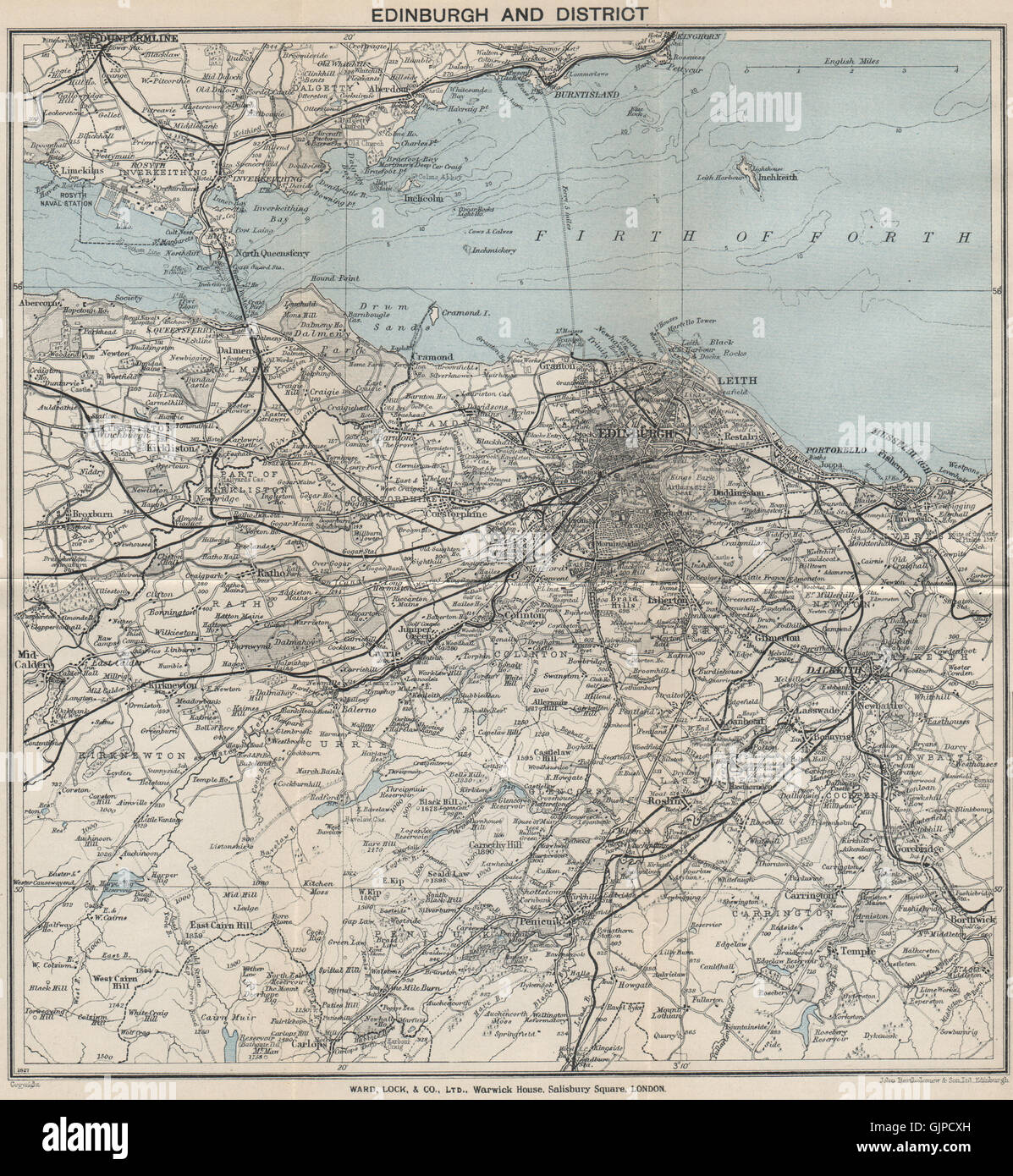 EDINBURGH environs. Portobello Leith Dunfermline Dalkeith. WARD LOCK, 1934 map Stock Photohttps://www.alamy.com/image-license-details/?v=1https://www.alamy.com/stock-photo-edinburgh-environs-portobello-leith-dunfermline-dalkeith-ward-lock-114819113.html
RFGJPCXH–EDINBURGH environs. Portobello Leith Dunfermline Dalkeith. WARD LOCK, 1934 map
 Dunfermline Town Railway Station, Fife, GB, United Kingdom, Scotland, N 56 4' 4'', S 3 27' 10'', map, Cartascapes Map published in 2024. Explore Cartascapes, a map revealing Earth's diverse landscapes, cultures, and ecosystems. Journey through time and space, discovering the interconnectedness of our planet's past, present, and future. Stock Photohttps://www.alamy.com/image-license-details/?v=1https://www.alamy.com/dunfermline-town-railway-station-fife-gb-united-kingdom-scotland-n-56-4-4-s-3-27-10-map-cartascapes-map-published-in-2024-explore-cartascapes-a-map-revealing-earths-diverse-landscapes-cultures-and-ecosystems-journey-through-time-and-space-discovering-the-interconnectedness-of-our-planets-past-present-and-future-image604220690.html
RM2X30HJA–Dunfermline Town Railway Station, Fife, GB, United Kingdom, Scotland, N 56 4' 4'', S 3 27' 10'', map, Cartascapes Map published in 2024. Explore Cartascapes, a map revealing Earth's diverse landscapes, cultures, and ecosystems. Journey through time and space, discovering the interconnectedness of our planet's past, present, and future.
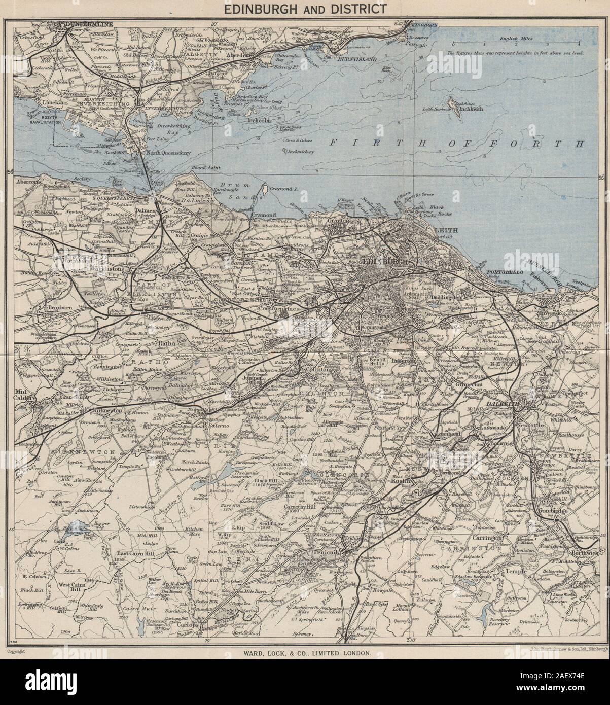 EDINBURGH environs. Portobello Leith Dunfermline Dalkeith. WARD LOCK 1949 map Stock Photohttps://www.alamy.com/image-license-details/?v=1https://www.alamy.com/edinburgh-environs-portobello-leith-dunfermline-dalkeith-ward-lock-1949-map-image336178542.html
RF2AEX74E–EDINBURGH environs. Portobello Leith Dunfermline Dalkeith. WARD LOCK 1949 map
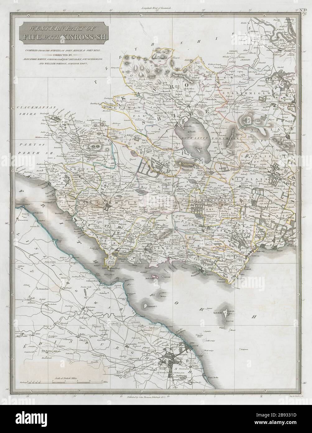 Western Fife & Kinross-shire. Dunfermline Kirkcaldy Falkland. THOMSON 1832 map Stock Photohttps://www.alamy.com/image-license-details/?v=1https://www.alamy.com/western-fife-kinross-shire-dunfermline-kirkcaldy-falkland-thomson-1832-map-image349807513.html
RF2B9331D–Western Fife & Kinross-shire. Dunfermline Kirkcaldy Falkland. THOMSON 1832 map
 Scotland, region of United Kingdom. High resolution satellite map Stock Photohttps://www.alamy.com/image-license-details/?v=1https://www.alamy.com/scotland-region-of-united-kingdom-high-resolution-satellite-map-image546006362.html
RF2PM8MK6–Scotland, region of United Kingdom. High resolution satellite map
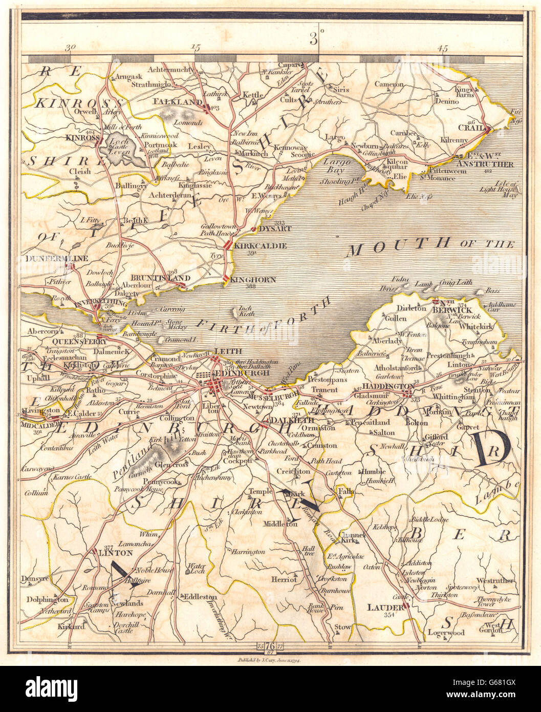 FIRTH OF FORTH: Fife & Lothian. Edinburgh Dunfermline Leith Crail. CARY 1794 map Stock Photohttps://www.alamy.com/image-license-details/?v=1https://www.alamy.com/stock-photo-firth-of-forth-fife-lothian-edinburgh-dunfermline-leith-crail-cary-107127018.html
RFG681GX–FIRTH OF FORTH: Fife & Lothian. Edinburgh Dunfermline Leith Crail. CARY 1794 map
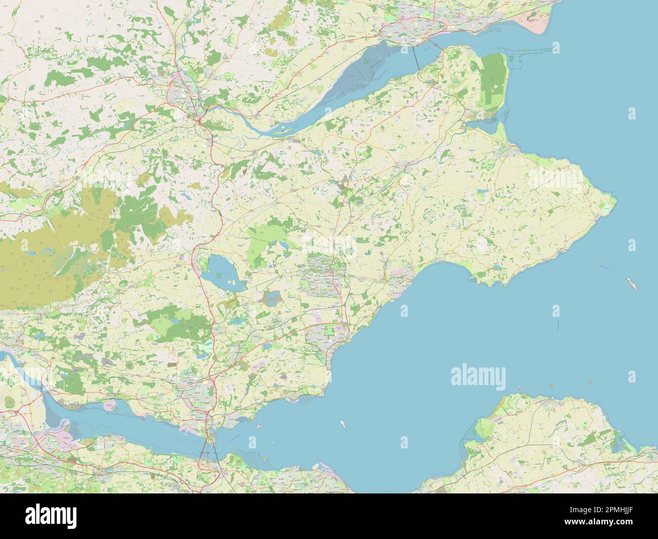 Fife, region of Scotland - Great Britain. Open Street Map Stock Photohttps://www.alamy.com/image-license-details/?v=1https://www.alamy.com/fife-region-of-scotland-great-britain-open-street-map-image546202343.html
RF2PMHJJF–Fife, region of Scotland - Great Britain. Open Street Map
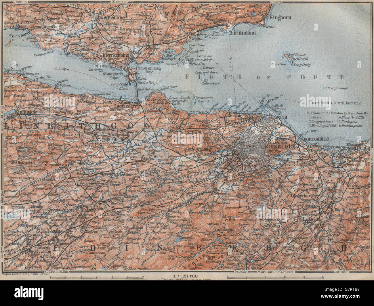 EDINBURGH ENVIRONS. Firth of Forth. Fife Leith Dunfermline. Scotland, 1910 map Stock Photohttps://www.alamy.com/image-license-details/?v=1https://www.alamy.com/stock-photo-edinburgh-environs-firth-of-forth-fife-leith-dunfermline-scotland-108070796.html
RFG7R1B8–EDINBURGH ENVIRONS. Firth of Forth. Fife Leith Dunfermline. Scotland, 1910 map
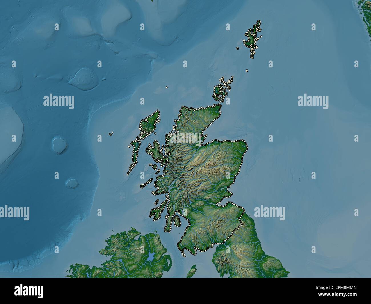 Scotland, region of United Kingdom. Colored elevation map with lakes and rivers Stock Photohttps://www.alamy.com/image-license-details/?v=1https://www.alamy.com/scotland-region-of-united-kingdom-colored-elevation-map-with-lakes-and-rivers-image546006405.html
RF2PM8MMN–Scotland, region of United Kingdom. Colored elevation map with lakes and rivers
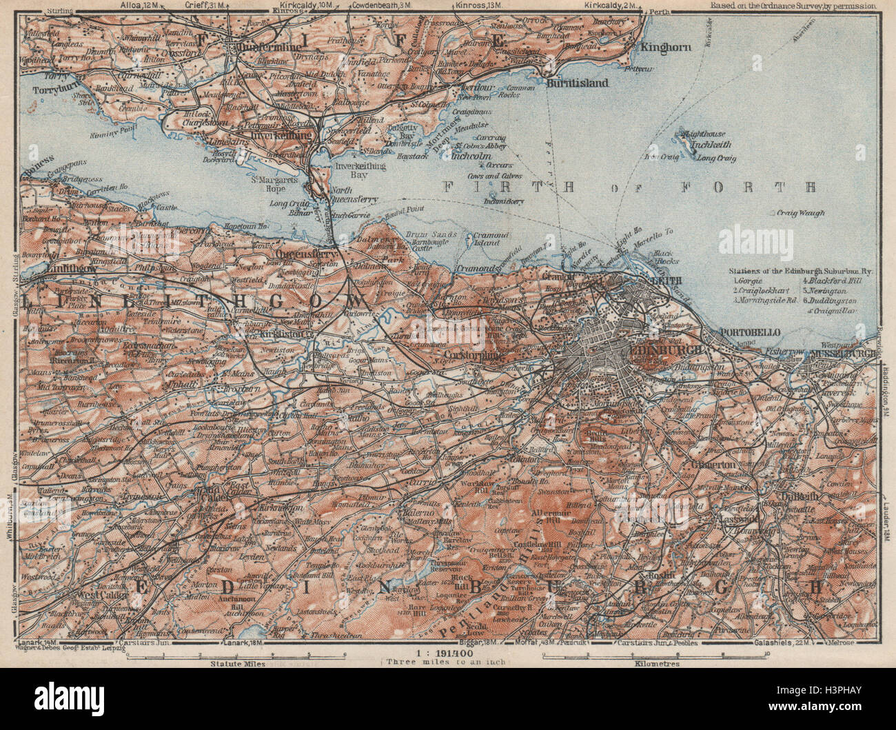 EDINBURGH ENVIRONS. Firth of Forth. Fife Leith Dunfermline. Scotland 1927 map Stock Photohttps://www.alamy.com/image-license-details/?v=1https://www.alamy.com/stock-photo-edinburgh-environs-firth-of-forth-fife-leith-dunfermline-scotland-122813123.html
RFH3PHAY–EDINBURGH ENVIRONS. Firth of Forth. Fife Leith Dunfermline. Scotland 1927 map
 Image taken from page 183 of 'Inverkeithing. North Queensferry. Limekilns. Charlestown. The Ferry Hills. Their antiquities and recreative resources. History of Dunfermline Golf Club and plan of course. Edited by A. S. Cunningham' Image taken from page 183 of 'Inverkeithing North Queensfer Stock Photohttps://www.alamy.com/image-license-details/?v=1https://www.alamy.com/stock-photo-image-taken-from-page-183-of-inverkeithing-north-queensferry-limekilns-132270326.html
RMHK5C46–Image taken from page 183 of 'Inverkeithing. North Queensferry. Limekilns. Charlestown. The Ferry Hills. Their antiquities and recreative resources. History of Dunfermline Golf Club and plan of course. Edited by A. S. Cunningham' Image taken from page 183 of 'Inverkeithing North Queensfer
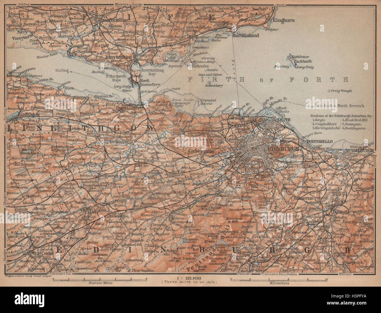 EDINBURGH ENVIRONS. Firth of Forth. Fife Leith Dunfermline. Scotland 1906 map Stock Photohttps://www.alamy.com/image-license-details/?v=1https://www.alamy.com/stock-photo-edinburgh-environs-firth-of-forth-fife-leith-dunfermline-scotland-122812014.html
RFH3PFYA–EDINBURGH ENVIRONS. Firth of Forth. Fife Leith Dunfermline. Scotland 1906 map
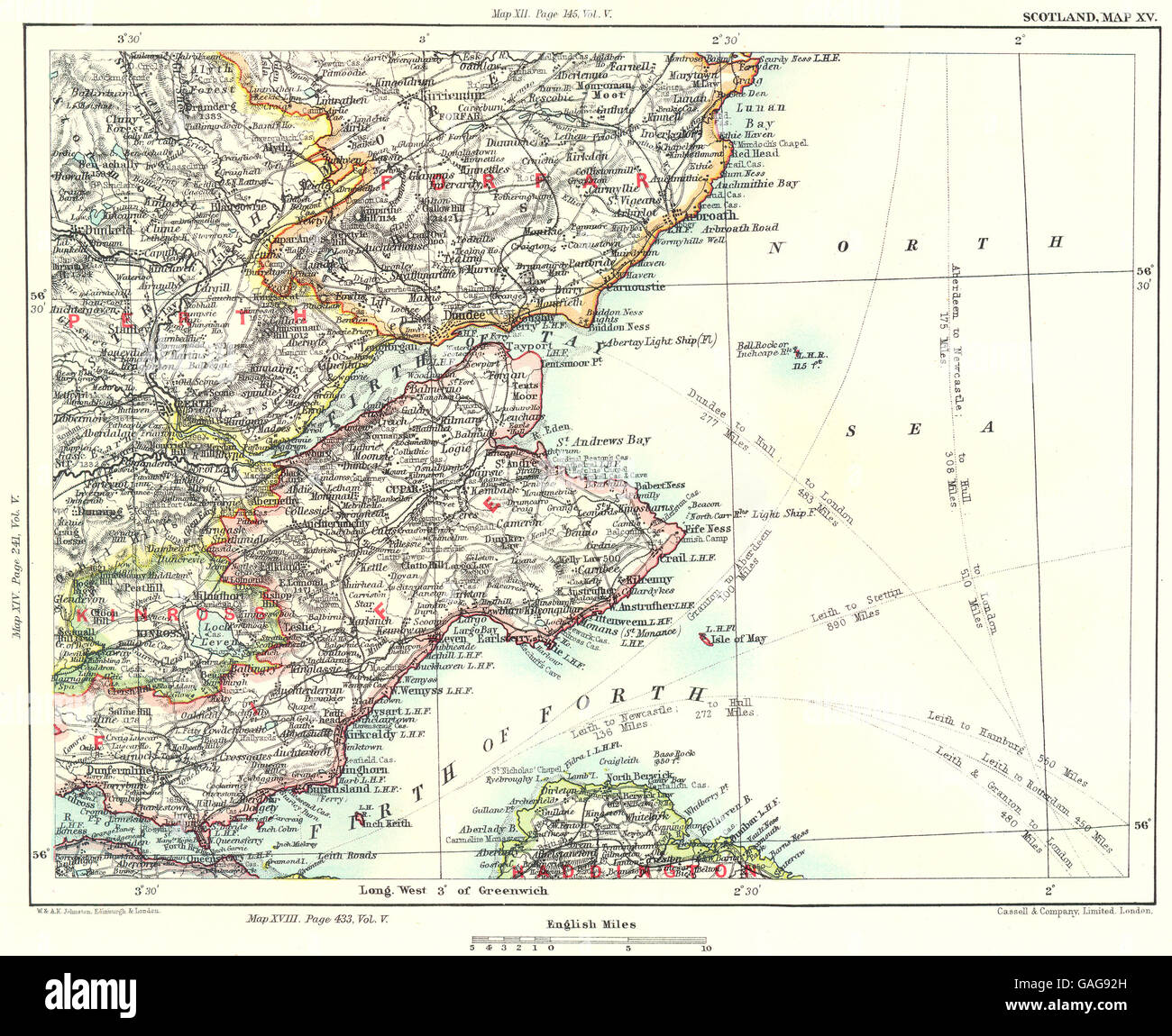 FIRTHS OF FORTH & TAY:Fife Perth Kinross Dundee Angus Forfar Carnoustie 1893 map Stock Photohttps://www.alamy.com/image-license-details/?v=1https://www.alamy.com/stock-photo-firths-of-forth-tayfife-perth-kinross-dundee-angus-forfar-carnoustie-109767129.html
RFGAG92H–FIRTHS OF FORTH & TAY:Fife Perth Kinross Dundee Angus Forfar Carnoustie 1893 map
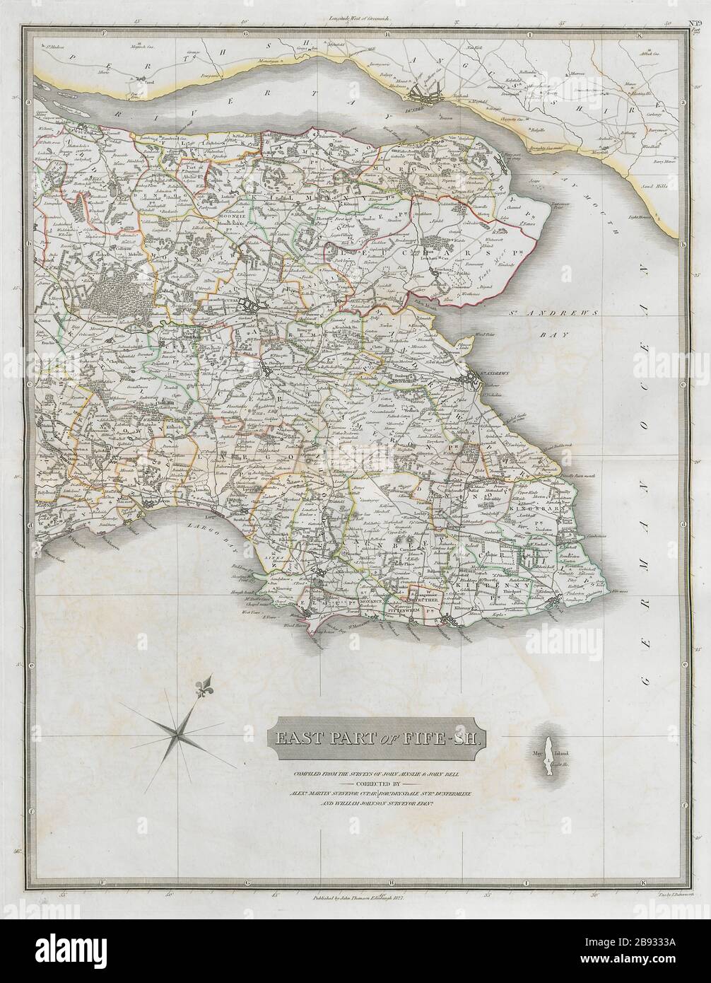 Eastern Fifeshire. St Andrews Cupar Crail Anstruther Kingsbarns THOMSON 1832 map Stock Photohttps://www.alamy.com/image-license-details/?v=1https://www.alamy.com/eastern-fifeshire-st-andrews-cupar-crail-anstruther-kingsbarns-thomson-1832-map-image349807566.html
RF2B9333A–Eastern Fifeshire. St Andrews Cupar Crail Anstruther Kingsbarns THOMSON 1832 map
 Dunfermline Abbey by John Slezer Stock Photohttps://www.alamy.com/image-license-details/?v=1https://www.alamy.com/stock-photo-dunfermline-abbey-by-john-slezer-142892585.html
RMJ8D8XH–Dunfermline Abbey by John Slezer
 Express By Holiday Inn Dunfermline, Fife, GB, United Kingdom, Scotland, N 56 4' 47'', S 3 24' 25'', map, Cartascapes Map published in 2024. Explore Cartascapes, a map revealing Earth's diverse landscapes, cultures, and ecosystems. Journey through time and space, discovering the interconnectedness of our planet's past, present, and future. Stock Photohttps://www.alamy.com/image-license-details/?v=1https://www.alamy.com/express-by-holiday-inn-dunfermline-fife-gb-united-kingdom-scotland-n-56-4-47-s-3-24-25-map-cartascapes-map-published-in-2024-explore-cartascapes-a-map-revealing-earths-diverse-landscapes-cultures-and-ecosystems-journey-through-time-and-space-discovering-the-interconnectedness-of-our-planets-past-present-and-future-image604217751.html
RM2X30DWB–Express By Holiday Inn Dunfermline, Fife, GB, United Kingdom, Scotland, N 56 4' 47'', S 3 24' 25'', map, Cartascapes Map published in 2024. Explore Cartascapes, a map revealing Earth's diverse landscapes, cultures, and ecosystems. Journey through time and space, discovering the interconnectedness of our planet's past, present, and future.
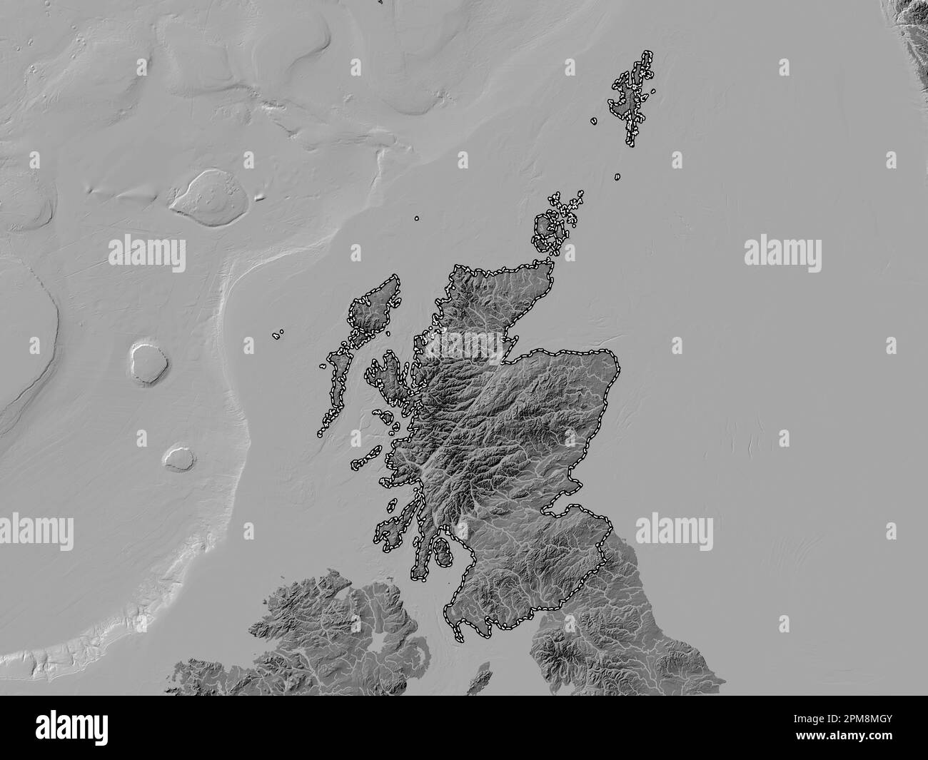 Scotland, region of United Kingdom. Bilevel elevation map with lakes and rivers Stock Photohttps://www.alamy.com/image-license-details/?v=1https://www.alamy.com/scotland-region-of-united-kingdom-bilevel-elevation-map-with-lakes-and-rivers-image546006299.html
RF2PM8MGY–Scotland, region of United Kingdom. Bilevel elevation map with lakes and rivers
 Image taken from page 43 of 'Inverkeithing. North Queensferry. Limekilns. Charlestown. The Ferry Hills. Their antiquities and recreative resources. History of Dunfermline Golf Club and plan of course. Edited by A. S. Cunningham' Image taken from page 43 of 'Inverkeithing North Queensfer Stock Photohttps://www.alamy.com/image-license-details/?v=1https://www.alamy.com/stock-photo-image-taken-from-page-43-of-inverkeithing-north-queensferry-limekilns-132334766.html
RMHK8A9J–Image taken from page 43 of 'Inverkeithing. North Queensferry. Limekilns. Charlestown. The Ferry Hills. Their antiquities and recreative resources. History of Dunfermline Golf Club and plan of course. Edited by A. S. Cunningham' Image taken from page 43 of 'Inverkeithing North Queensfer
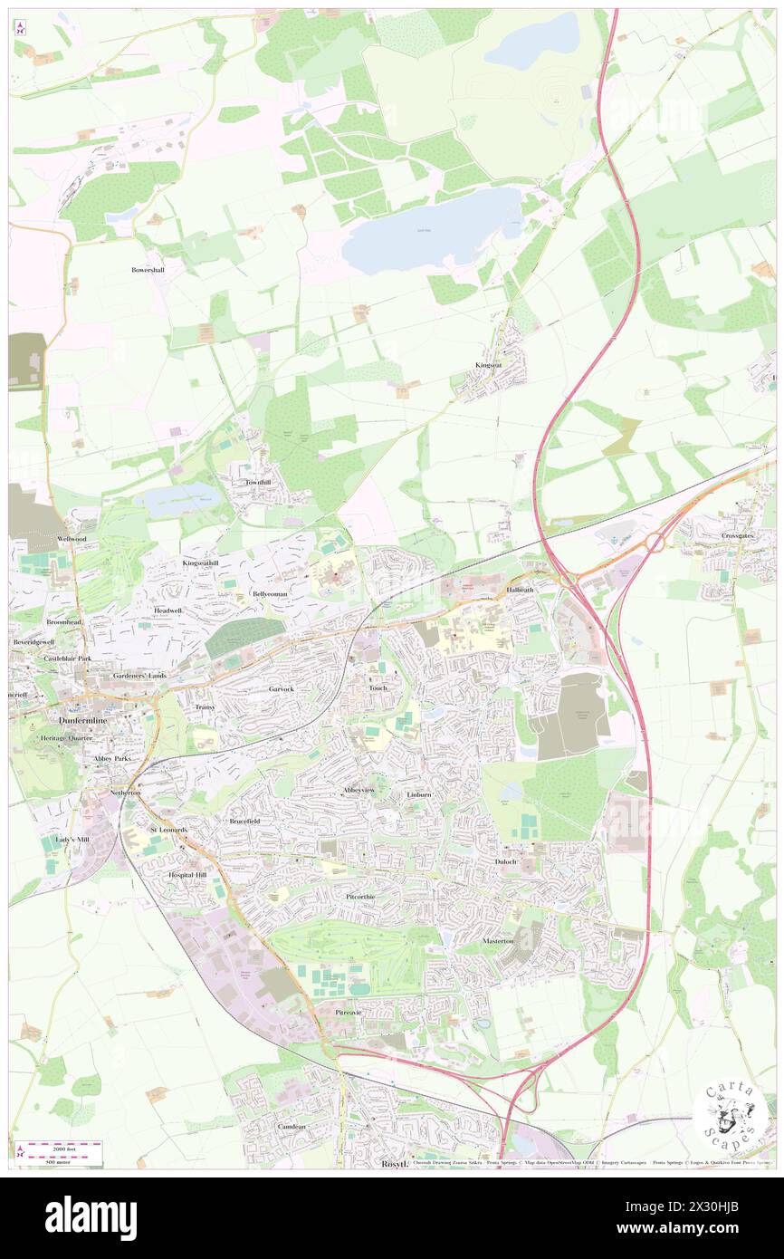 Dunfermline Queen Margaret Railway Station, Fife, GB, United Kingdom, Scotland, N 56 4' 51'', S 3 25' 15'', map, Cartascapes Map published in 2024. Explore Cartascapes, a map revealing Earth's diverse landscapes, cultures, and ecosystems. Journey through time and space, discovering the interconnectedness of our planet's past, present, and future. Stock Photohttps://www.alamy.com/image-license-details/?v=1https://www.alamy.com/dunfermline-queen-margaret-railway-station-fife-gb-united-kingdom-scotland-n-56-4-51-s-3-25-15-map-cartascapes-map-published-in-2024-explore-cartascapes-a-map-revealing-earths-diverse-landscapes-cultures-and-ecosystems-journey-through-time-and-space-discovering-the-interconnectedness-of-our-planets-past-present-and-future-image604220691.html
RM2X30HJB–Dunfermline Queen Margaret Railway Station, Fife, GB, United Kingdom, Scotland, N 56 4' 51'', S 3 25' 15'', map, Cartascapes Map published in 2024. Explore Cartascapes, a map revealing Earth's diverse landscapes, cultures, and ecosystems. Journey through time and space, discovering the interconnectedness of our planet's past, present, and future.
 Scotland, region of United Kingdom. Grayscale elevation map with lakes and rivers Stock Photohttps://www.alamy.com/image-license-details/?v=1https://www.alamy.com/scotland-region-of-united-kingdom-grayscale-elevation-map-with-lakes-and-rivers-image546006304.html
RF2PM8MH4–Scotland, region of United Kingdom. Grayscale elevation map with lakes and rivers
 Fife, region of Scotland - Great Britain. Low resolution satellite map Stock Photohttps://www.alamy.com/image-license-details/?v=1https://www.alamy.com/fife-region-of-scotland-great-britain-low-resolution-satellite-map-image546202336.html
RF2PMHJJ8–Fife, region of Scotland - Great Britain. Low resolution satellite map
 Reminiscences of Dunfermline and neighbourhood ... With chronological appendix, 1064-1880 Image taken from page 261 of 'Reminiscences of Dunfermline and Stock Photohttps://www.alamy.com/image-license-details/?v=1https://www.alamy.com/stock-photo-reminiscences-of-dunfermline-and-neighbourhood-with-chronological-127745740.html
RMHBR8YT–Reminiscences of Dunfermline and neighbourhood ... With chronological appendix, 1064-1880 Image taken from page 261 of 'Reminiscences of Dunfermline and
 Dunfermline, Fife, GB, United Kingdom, Scotland, N 56 4' 17'', S 3 27' 31'', map, Cartascapes Map published in 2024. Explore Cartascapes, a map revealing Earth's diverse landscapes, cultures, and ecosystems. Journey through time and space, discovering the interconnectedness of our planet's past, present, and future. Stock Photohttps://www.alamy.com/image-license-details/?v=1https://www.alamy.com/dunfermline-fife-gb-united-kingdom-scotland-n-56-4-17-s-3-27-31-map-cartascapes-map-published-in-2024-explore-cartascapes-a-map-revealing-earths-diverse-landscapes-cultures-and-ecosystems-journey-through-time-and-space-discovering-the-interconnectedness-of-our-planets-past-present-and-future-image604174480.html
RM2X2XEM0–Dunfermline, Fife, GB, United Kingdom, Scotland, N 56 4' 17'', S 3 27' 31'', map, Cartascapes Map published in 2024. Explore Cartascapes, a map revealing Earth's diverse landscapes, cultures, and ecosystems. Journey through time and space, discovering the interconnectedness of our planet's past, present, and future.
 Fife, region of Scotland - Great Britain. High resolution satellite map Stock Photohttps://www.alamy.com/image-license-details/?v=1https://www.alamy.com/fife-region-of-scotland-great-britain-high-resolution-satellite-map-image546202264.html
RF2PMHJFM–Fife, region of Scotland - Great Britain. High resolution satellite map
 Inverkeithing. North Queensferry. Limekilns. Charlestown. The Ferry Hills. Their antiquities and recreative resources. History of Dunfermline Golf Club and plan of course. Edited by A. S. Cunningham Image taken from page 261 of 'Inverkeithing North Queensferry Limekilns Stock Photohttps://www.alamy.com/image-license-details/?v=1https://www.alamy.com/stock-photo-inverkeithing-north-queensferry-limekilns-charlestown-the-ferry-hills-127740613.html
RMHBR2CN–Inverkeithing. North Queensferry. Limekilns. Charlestown. The Ferry Hills. Their antiquities and recreative resources. History of Dunfermline Golf Club and plan of course. Edited by A. S. Cunningham Image taken from page 261 of 'Inverkeithing North Queensferry Limekilns
 Dunfermline Abbey, Fife, GB, United Kingdom, Scotland, N 56 4' 12'', S 3 27' 47'', map, Cartascapes Map published in 2024. Explore Cartascapes, a map revealing Earth's diverse landscapes, cultures, and ecosystems. Journey through time and space, discovering the interconnectedness of our planet's past, present, and future. Stock Photohttps://www.alamy.com/image-license-details/?v=1https://www.alamy.com/dunfermline-abbey-fife-gb-united-kingdom-scotland-n-56-4-12-s-3-27-47-map-cartascapes-map-published-in-2024-explore-cartascapes-a-map-revealing-earths-diverse-landscapes-cultures-and-ecosystems-journey-through-time-and-space-discovering-the-interconnectedness-of-our-planets-past-present-and-future-image604080537.html
RM2X2P6TW–Dunfermline Abbey, Fife, GB, United Kingdom, Scotland, N 56 4' 12'', S 3 27' 47'', map, Cartascapes Map published in 2024. Explore Cartascapes, a map revealing Earth's diverse landscapes, cultures, and ecosystems. Journey through time and space, discovering the interconnectedness of our planet's past, present, and future.
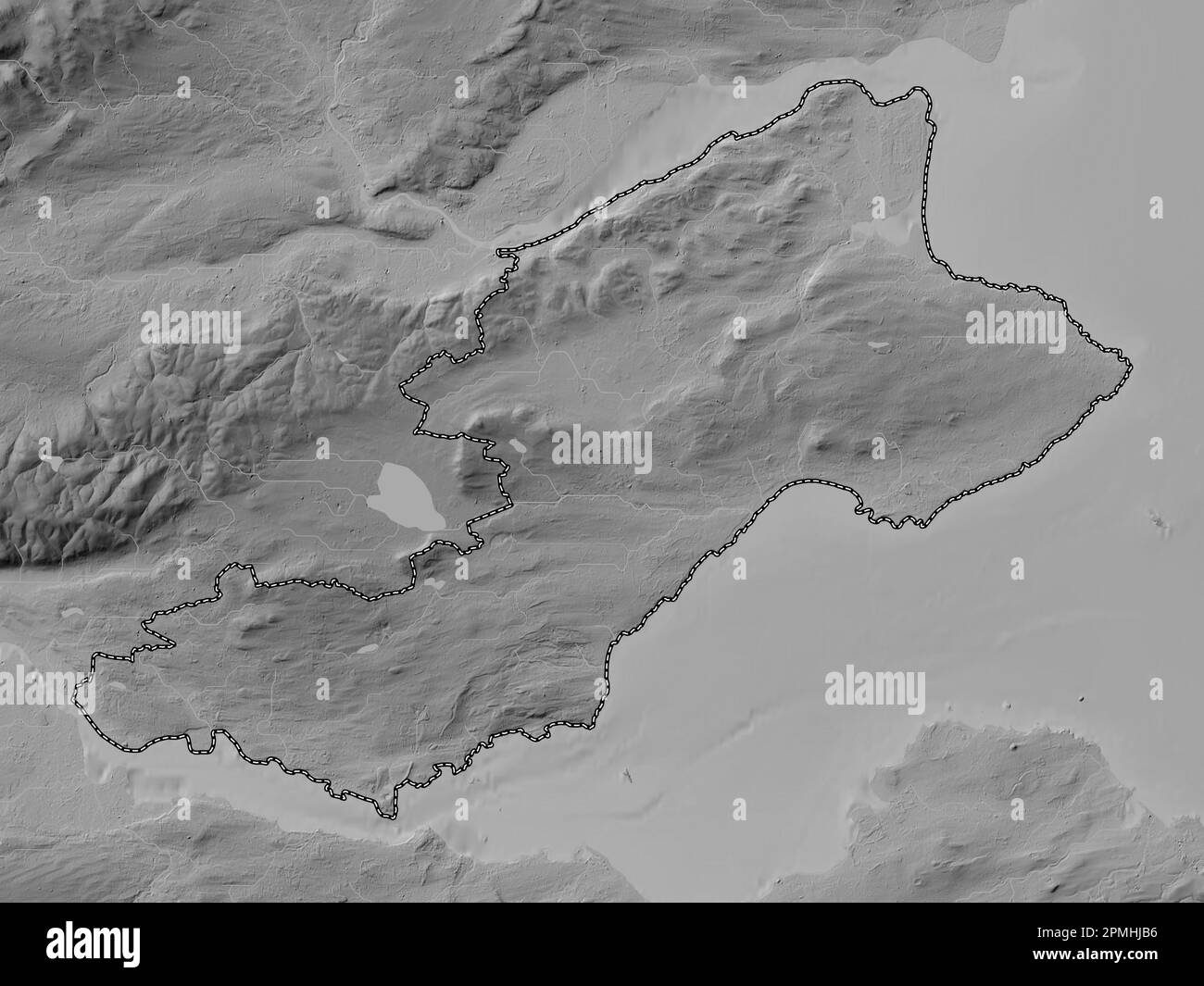 Fife, region of Scotland - Great Britain. Grayscale elevation map with lakes and rivers Stock Photohttps://www.alamy.com/image-license-details/?v=1https://www.alamy.com/fife-region-of-scotland-great-britain-grayscale-elevation-map-with-lakes-and-rivers-image546202138.html
RF2PMHJB6–Fife, region of Scotland - Great Britain. Grayscale elevation map with lakes and rivers
 Inverkeithing. North Queensferry. Limekilns. Charlestown. The Ferry Hills. Their antiquities and recreative resources. History of Dunfermline Golf Club and plan of course. Edited by A. S. Cunningham Image taken from page 179 of 'Inverkeithing North Queensfer Stock Photohttps://www.alamy.com/image-license-details/?v=1https://www.alamy.com/stock-photo-inverkeithing-north-queensferry-limekilns-charlestown-the-ferry-hills-132269465.html
RMHK5B1D–Inverkeithing. North Queensferry. Limekilns. Charlestown. The Ferry Hills. Their antiquities and recreative resources. History of Dunfermline Golf Club and plan of course. Edited by A. S. Cunningham Image taken from page 179 of 'Inverkeithing North Queensfer
 Dunfermline, Canada, Saskatchewan, N 52 8' 0'', W 107 2' 4'', map, Timeless Map published in 2021. Travelers, explorers and adventurers like Florence Nightingale, David Livingstone, Ernest Shackleton, Lewis and Clark and Sherlock Holmes relied on maps to plan travels to the world's most remote corners, Timeless Maps is mapping most locations on the globe, showing the achievement of great dreams Stock Photohttps://www.alamy.com/image-license-details/?v=1https://www.alamy.com/dunfermline-canada-saskatchewan-n-52-8-0-w-107-2-4-map-timeless-map-published-in-2021-travelers-explorers-and-adventurers-like-florence-nightingale-david-livingstone-ernest-shackleton-lewis-and-clark-and-sherlock-holmes-relied-on-maps-to-plan-travels-to-the-worlds-most-remote-corners-timeless-maps-is-mapping-most-locations-on-the-globe-showing-the-achievement-of-great-dreams-image457860010.html
RM2HGW936–Dunfermline, Canada, Saskatchewan, N 52 8' 0'', W 107 2' 4'', map, Timeless Map published in 2021. Travelers, explorers and adventurers like Florence Nightingale, David Livingstone, Ernest Shackleton, Lewis and Clark and Sherlock Holmes relied on maps to plan travels to the world's most remote corners, Timeless Maps is mapping most locations on the globe, showing the achievement of great dreams
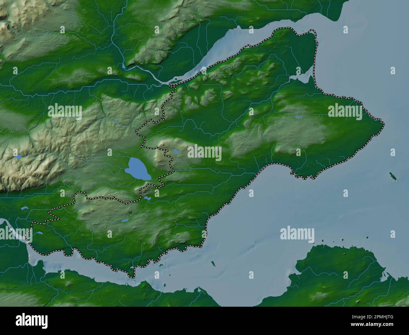 Fife, region of Scotland - Great Britain. Colored elevation map with lakes and rivers Stock Photohttps://www.alamy.com/image-license-details/?v=1https://www.alamy.com/fife-region-of-scotland-great-britain-colored-elevation-map-with-lakes-and-rivers-image546202512.html
RF2PMHJTG–Fife, region of Scotland - Great Britain. Colored elevation map with lakes and rivers
 Inverkeithing. North Queensferry. Limekilns. Charlestown. The Ferry Hills. Their antiquities and recreative resources. History of Dunfermline Golf Club and plan of course. Edited by A. S. Cunningham Image taken from page 115 of 'Inverkeithing North Queensfer Stock Photohttps://www.alamy.com/image-license-details/?v=1https://www.alamy.com/stock-photo-inverkeithing-north-queensferry-limekilns-charlestown-the-ferry-hills-132250715.html
RMHK4F3R–Inverkeithing. North Queensferry. Limekilns. Charlestown. The Ferry Hills. Their antiquities and recreative resources. History of Dunfermline Golf Club and plan of course. Edited by A. S. Cunningham Image taken from page 115 of 'Inverkeithing North Queensfer
 Dunfermline, Fife, United Kingdom, Scotland, N 56 4' 17'', W 3 27' 31'', map, Timeless Map published in 2021. Travelers, explorers and adventurers like Florence Nightingale, David Livingstone, Ernest Shackleton, Lewis and Clark and Sherlock Holmes relied on maps to plan travels to the world's most remote corners, Timeless Maps is mapping most locations on the globe, showing the achievement of great dreams Stock Photohttps://www.alamy.com/image-license-details/?v=1https://www.alamy.com/dunfermline-fife-united-kingdom-scotland-n-56-4-17-w-3-27-31-map-timeless-map-published-in-2021-travelers-explorers-and-adventurers-like-florence-nightingale-david-livingstone-ernest-shackleton-lewis-and-clark-and-sherlock-holmes-relied-on-maps-to-plan-travels-to-the-worlds-most-remote-corners-timeless-maps-is-mapping-most-locations-on-the-globe-showing-the-achievement-of-great-dreams-image439399200.html
RM2GETA4G–Dunfermline, Fife, United Kingdom, Scotland, N 56 4' 17'', W 3 27' 31'', map, Timeless Map published in 2021. Travelers, explorers and adventurers like Florence Nightingale, David Livingstone, Ernest Shackleton, Lewis and Clark and Sherlock Holmes relied on maps to plan travels to the world's most remote corners, Timeless Maps is mapping most locations on the globe, showing the achievement of great dreams
 Fife, region of Scotland - Great Britain. Bilevel elevation map with lakes and rivers Stock Photohttps://www.alamy.com/image-license-details/?v=1https://www.alamy.com/fife-region-of-scotland-great-britain-bilevel-elevation-map-with-lakes-and-rivers-image546202149.html
RF2PMHJBH–Fife, region of Scotland - Great Britain. Bilevel elevation map with lakes and rivers
 Inverkeithing. North Queensferry. Limekilns. Charlestown. The Ferry Hills. Their antiquities and recreative resources. History of Dunfermline Golf Club and plan of course. Edited by A. S. Cunningham Image taken from page 191 of 'Inverkeithing North Queensfer Stock Photohttps://www.alamy.com/image-license-details/?v=1https://www.alamy.com/stock-photo-inverkeithing-north-queensferry-limekilns-charlestown-the-ferry-hills-132271878.html
RMHK5E3J–Inverkeithing. North Queensferry. Limekilns. Charlestown. The Ferry Hills. Their antiquities and recreative resources. History of Dunfermline Golf Club and plan of course. Edited by A. S. Cunningham Image taken from page 191 of 'Inverkeithing North Queensfer
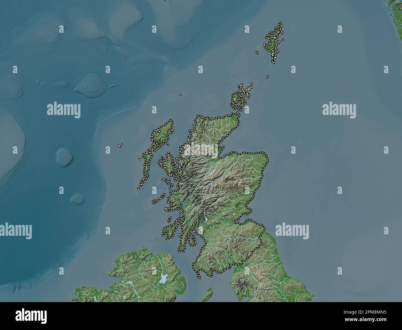 Scotland, region of United Kingdom. Elevation map colored in wiki style with lakes and rivers Stock Photohttps://www.alamy.com/image-license-details/?v=1https://www.alamy.com/scotland-region-of-united-kingdom-elevation-map-colored-in-wiki-style-with-lakes-and-rivers-image546006417.html
RF2PM8MN5–Scotland, region of United Kingdom. Elevation map colored in wiki style with lakes and rivers
 Inverkeithing. North Queensferry. Limekilns. Charlestown. The Ferry Hills. Their antiquities and recreative resources. History of Dunfermline Golf Club and plan of course. Edited by A. S. Cunningham Image taken from page 227 of 'Inverkeithing North Queensfer Stock Photohttps://www.alamy.com/image-license-details/?v=1https://www.alamy.com/stock-photo-inverkeithing-north-queensferry-limekilns-charlestown-the-ferry-hills-132287885.html
RMHK66F9–Inverkeithing. North Queensferry. Limekilns. Charlestown. The Ferry Hills. Their antiquities and recreative resources. History of Dunfermline Golf Club and plan of course. Edited by A. S. Cunningham Image taken from page 227 of 'Inverkeithing North Queensfer
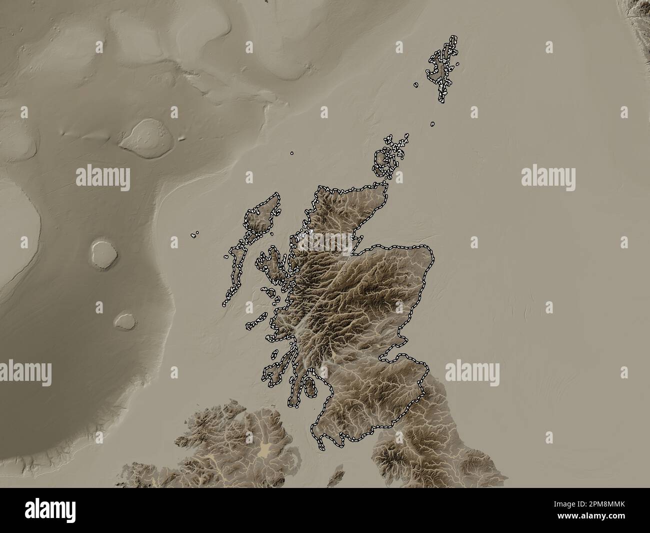 Scotland, region of United Kingdom. Elevation map colored in sepia tones with lakes and rivers Stock Photohttps://www.alamy.com/image-license-details/?v=1https://www.alamy.com/scotland-region-of-united-kingdom-elevation-map-colored-in-sepia-tones-with-lakes-and-rivers-image546006403.html
RF2PM8MMK–Scotland, region of United Kingdom. Elevation map colored in sepia tones with lakes and rivers
 Fife, region of Scotland - Great Britain. Elevation map colored in sepia tones with lakes and rivers Stock Photohttps://www.alamy.com/image-license-details/?v=1https://www.alamy.com/fife-region-of-scotland-great-britain-elevation-map-colored-in-sepia-tones-with-lakes-and-rivers-image546202505.html
RF2PMHJT9–Fife, region of Scotland - Great Britain. Elevation map colored in sepia tones with lakes and rivers
 Inverkeithing. North Queensferry. Limekilns. Charlestown. The Ferry Hills. Their antiquities and recreative resources. History of Dunfermline Golf Club and plan of course. Edited by A. S. Cunningham Image taken from page 125 of 'Inverkeithing North Queensfer Stock Photohttps://www.alamy.com/image-license-details/?v=1https://www.alamy.com/stock-photo-inverkeithing-north-queensferry-limekilns-charlestown-the-ferry-hills-132253514.html
RMHK4JKP–Inverkeithing. North Queensferry. Limekilns. Charlestown. The Ferry Hills. Their antiquities and recreative resources. History of Dunfermline Golf Club and plan of course. Edited by A. S. Cunningham Image taken from page 125 of 'Inverkeithing North Queensfer
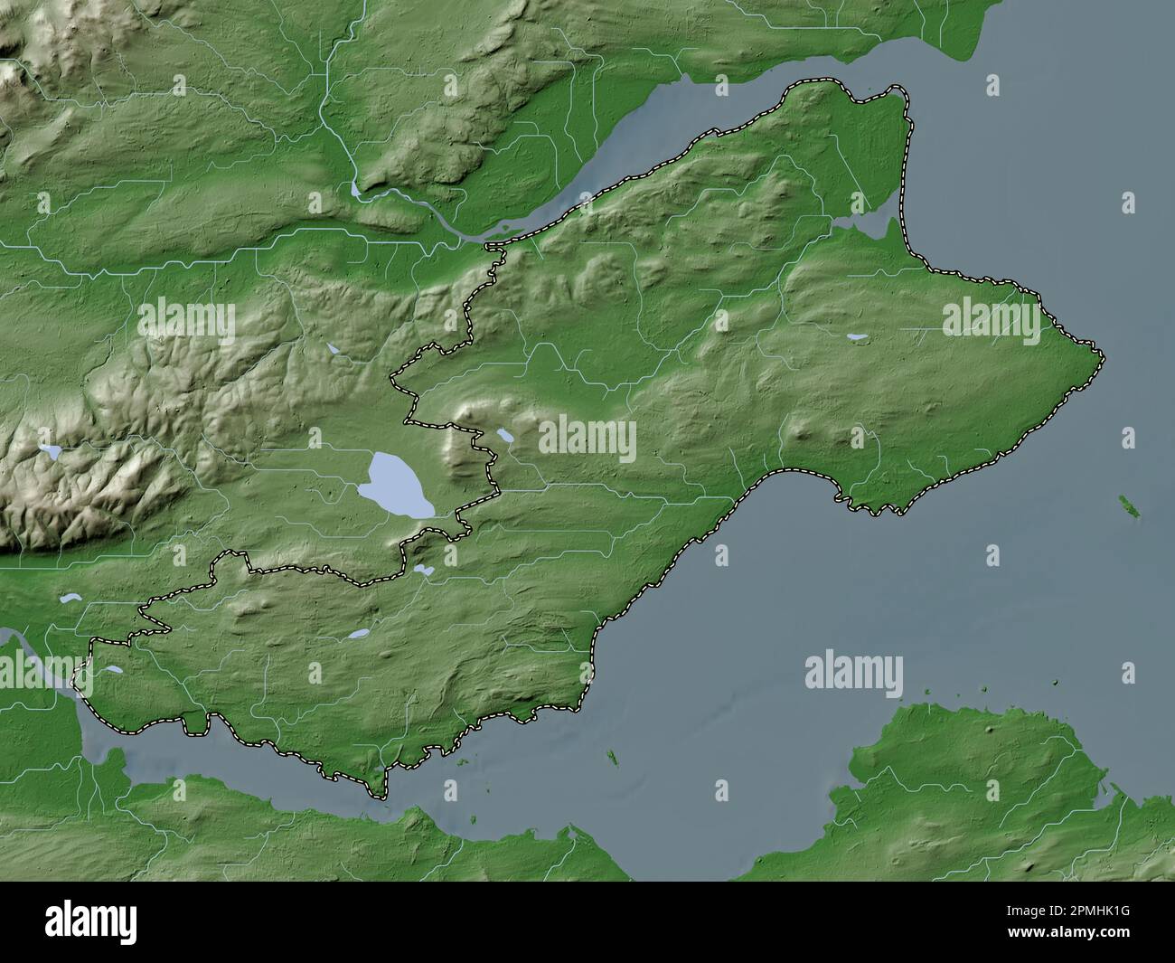 Fife, region of Scotland - Great Britain. Elevation map colored in wiki style with lakes and rivers Stock Photohttps://www.alamy.com/image-license-details/?v=1https://www.alamy.com/fife-region-of-scotland-great-britain-elevation-map-colored-in-wiki-style-with-lakes-and-rivers-image546202652.html
RF2PMHK1G–Fife, region of Scotland - Great Britain. Elevation map colored in wiki style with lakes and rivers
 Scotland, region of United Kingdom. Open Street Map. Locations of major cities of the region. Corner auxiliary location maps Stock Photohttps://www.alamy.com/image-license-details/?v=1https://www.alamy.com/scotland-region-of-united-kingdom-open-street-map-locations-of-major-cities-of-the-region-corner-auxiliary-location-maps-image546006352.html
RF2PM8MJT–Scotland, region of United Kingdom. Open Street Map. Locations of major cities of the region. Corner auxiliary location maps
 Inverkeithing. North Queensferry. Limekilns. Charlestown. The Ferry Hills. Their antiquities and recreative resources. History of Dunfermline Golf Club and plan of course. Edited by A. S. Cunningham Image taken from page 99 of 'Inverkeithing North Queensfer Stock Photohttps://www.alamy.com/image-license-details/?v=1https://www.alamy.com/stock-photo-inverkeithing-north-queensferry-limekilns-charlestown-the-ferry-hills-132373088.html
RMHKA368–Inverkeithing. North Queensferry. Limekilns. Charlestown. The Ferry Hills. Their antiquities and recreative resources. History of Dunfermline Golf Club and plan of course. Edited by A. S. Cunningham Image taken from page 99 of 'Inverkeithing North Queensfer
 Scotland, region of United Kingdom. Open Street Map. Locations and names of major cities of the region. Corner auxiliary location maps Stock Photohttps://www.alamy.com/image-license-details/?v=1https://www.alamy.com/scotland-region-of-united-kingdom-open-street-map-locations-and-names-of-major-cities-of-the-region-corner-auxiliary-location-maps-image546006347.html
RF2PM8MJK–Scotland, region of United Kingdom. Open Street Map. Locations and names of major cities of the region. Corner auxiliary location maps
 Inverkeithing. North Queensferry. Limekilns. Charlestown. The Ferry Hills. Their antiquities and recreative resources. History of Dunfermline Golf Club and plan of course. Edited by A. S. Cunningham Image taken from page 7 of 'Inverkeithing North Queensfer Stock Photohttps://www.alamy.com/image-license-details/?v=1https://www.alamy.com/stock-photo-inverkeithing-north-queensferry-limekilns-charlestown-the-ferry-hills-132353035.html
RMHK95J3–Inverkeithing. North Queensferry. Limekilns. Charlestown. The Ferry Hills. Their antiquities and recreative resources. History of Dunfermline Golf Club and plan of course. Edited by A. S. Cunningham Image taken from page 7 of 'Inverkeithing North Queensfer
 Scotland, region of United Kingdom. High resolution satellite map. Locations of major cities of the region. Corner auxiliary location maps Stock Photohttps://www.alamy.com/image-license-details/?v=1https://www.alamy.com/scotland-region-of-united-kingdom-high-resolution-satellite-map-locations-of-major-cities-of-the-region-corner-auxiliary-location-maps-image546006361.html
RF2PM8MK5–Scotland, region of United Kingdom. High resolution satellite map. Locations of major cities of the region. Corner auxiliary location maps
 Inverkeithing. North Queensferry. Limekilns. Charlestown. The Ferry Hills. Their antiquities and recreative resources. History of Dunfermline Golf Club and plan of course. Edited by A. S. Cunningham Image taken from page 31 of 'Inverkeithing North Queensfer Stock Photohttps://www.alamy.com/image-license-details/?v=1https://www.alamy.com/stock-photo-inverkeithing-north-queensferry-limekilns-charlestown-the-ferry-hills-132300850.html
RMHK6R2A–Inverkeithing. North Queensferry. Limekilns. Charlestown. The Ferry Hills. Their antiquities and recreative resources. History of Dunfermline Golf Club and plan of course. Edited by A. S. Cunningham Image taken from page 31 of 'Inverkeithing North Queensfer
 Scotland, region of United Kingdom. Low resolution satellite map. Locations of major cities of the region. Corner auxiliary location maps Stock Photohttps://www.alamy.com/image-license-details/?v=1https://www.alamy.com/scotland-region-of-united-kingdom-low-resolution-satellite-map-locations-of-major-cities-of-the-region-corner-auxiliary-location-maps-image546006339.html
RF2PM8MJB–Scotland, region of United Kingdom. Low resolution satellite map. Locations of major cities of the region. Corner auxiliary location maps
 Inverkeithing. North Queensferry. Limekilns. Charlestown. The Ferry Hills. Their antiquities and recreative resources. History of Dunfermline Golf Club and plan of course. Edited by A. S. Cunningham Image taken from page 61 of 'Inverkeithing North Queensfer Stock Photohttps://www.alamy.com/image-license-details/?v=1https://www.alamy.com/stock-photo-inverkeithing-north-queensferry-limekilns-charlestown-the-ferry-hills-132348772.html
RMHK905T–Inverkeithing. North Queensferry. Limekilns. Charlestown. The Ferry Hills. Their antiquities and recreative resources. History of Dunfermline Golf Club and plan of course. Edited by A. S. Cunningham Image taken from page 61 of 'Inverkeithing North Queensfer
 Scotland, region of United Kingdom. Grayscale elevation map with lakes and rivers. Locations of major cities of the region. Corner auxiliary location Stock Photohttps://www.alamy.com/image-license-details/?v=1https://www.alamy.com/scotland-region-of-united-kingdom-grayscale-elevation-map-with-lakes-and-rivers-locations-of-major-cities-of-the-region-corner-auxiliary-location-image546006302.html
RF2PM8MH2–Scotland, region of United Kingdom. Grayscale elevation map with lakes and rivers. Locations of major cities of the region. Corner auxiliary location
 Inverkeithing. North Queensferry. Limekilns. Charlestown. The Ferry Hills. Their antiquities and recreative resources. History of Dunfermline Golf Club and plan of course. Edited by A. S. Cunningham Image taken from page 129 of 'Inverkeithing North Queensfer Stock Photohttps://www.alamy.com/image-license-details/?v=1https://www.alamy.com/stock-photo-inverkeithing-north-queensferry-limekilns-charlestown-the-ferry-hills-132254474.html
RMHK4KX2–Inverkeithing. North Queensferry. Limekilns. Charlestown. The Ferry Hills. Their antiquities and recreative resources. History of Dunfermline Golf Club and plan of course. Edited by A. S. Cunningham Image taken from page 129 of 'Inverkeithing North Queensfer
 Scotland, region of United Kingdom. Grayscale elevation map with lakes and rivers. Locations and names of major cities of the region. Corner auxiliary Stock Photohttps://www.alamy.com/image-license-details/?v=1https://www.alamy.com/scotland-region-of-united-kingdom-grayscale-elevation-map-with-lakes-and-rivers-locations-and-names-of-major-cities-of-the-region-corner-auxiliary-image546006359.html
RF2PM8MK3–Scotland, region of United Kingdom. Grayscale elevation map with lakes and rivers. Locations and names of major cities of the region. Corner auxiliary
 Fife, region of Scotland - Great Britain. Open Street Map. Locations of major cities of the region. Corner auxiliary location maps Stock Photohttps://www.alamy.com/image-license-details/?v=1https://www.alamy.com/fife-region-of-scotland-great-britain-open-street-map-locations-of-major-cities-of-the-region-corner-auxiliary-location-maps-image546202334.html
RF2PMHJJ6–Fife, region of Scotland - Great Britain. Open Street Map. Locations of major cities of the region. Corner auxiliary location maps
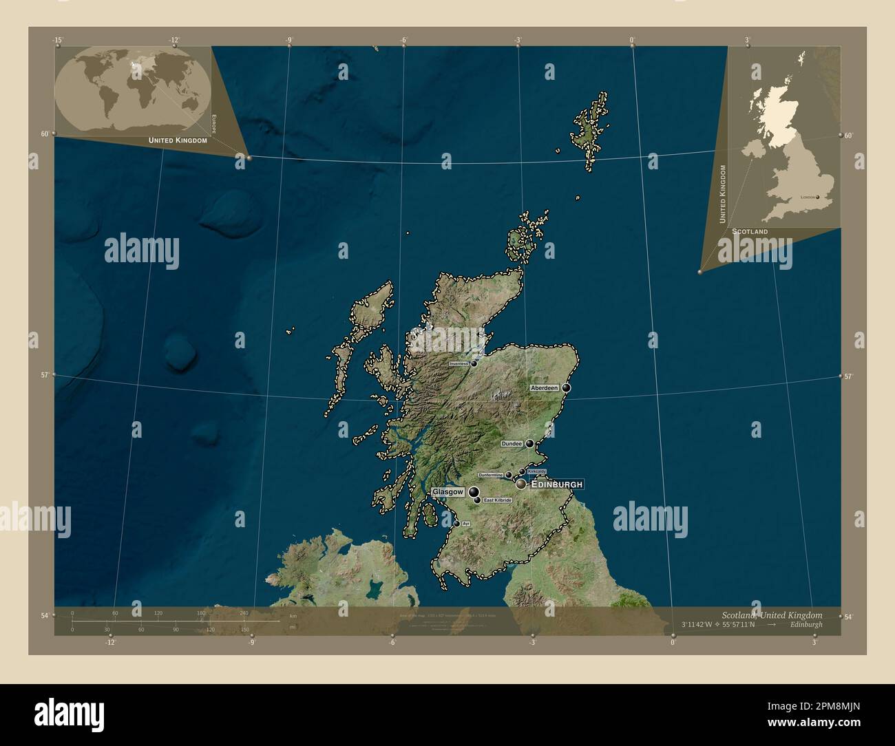 Scotland, region of United Kingdom. High resolution satellite map. Locations and names of major cities of the region. Corner auxiliary location maps Stock Photohttps://www.alamy.com/image-license-details/?v=1https://www.alamy.com/scotland-region-of-united-kingdom-high-resolution-satellite-map-locations-and-names-of-major-cities-of-the-region-corner-auxiliary-location-maps-image546006349.html
RF2PM8MJN–Scotland, region of United Kingdom. High resolution satellite map. Locations and names of major cities of the region. Corner auxiliary location maps
 Inverkeithing. North Queensferry. Limekilns. Charlestown. The Ferry Hills. Their antiquities and recreative resources. History of Dunfermline Golf Club and plan of course. Edited by A. S. Cunningham Image taken from page 51 of 'Inverkeithing North Queensfer Stock Photohttps://www.alamy.com/image-license-details/?v=1https://www.alamy.com/stock-photo-inverkeithing-north-queensferry-limekilns-charlestown-the-ferry-hills-132341894.html
RMHK8KC6–Inverkeithing. North Queensferry. Limekilns. Charlestown. The Ferry Hills. Their antiquities and recreative resources. History of Dunfermline Golf Club and plan of course. Edited by A. S. Cunningham Image taken from page 51 of 'Inverkeithing North Queensfer
 Scotland, region of United Kingdom. Low resolution satellite map. Locations and names of major cities of the region. Corner auxiliary location maps Stock Photohttps://www.alamy.com/image-license-details/?v=1https://www.alamy.com/scotland-region-of-united-kingdom-low-resolution-satellite-map-locations-and-names-of-major-cities-of-the-region-corner-auxiliary-location-maps-image546006358.html
RF2PM8MK2–Scotland, region of United Kingdom. Low resolution satellite map. Locations and names of major cities of the region. Corner auxiliary location maps
 Inverkeithing. North Queensferry. Limekilns. Charlestown. The Ferry Hills. Their antiquities and recreative resources. History of Dunfermline Golf Club and plan of course. Edited by A. S. Cunningham Image taken from page 203 of 'Inverkeithing North Queensfer Stock Photohttps://www.alamy.com/image-license-details/?v=1https://www.alamy.com/stock-photo-inverkeithing-north-queensferry-limekilns-charlestown-the-ferry-hills-132274014.html
RMHK5GRX–Inverkeithing. North Queensferry. Limekilns. Charlestown. The Ferry Hills. Their antiquities and recreative resources. History of Dunfermline Golf Club and plan of course. Edited by A. S. Cunningham Image taken from page 203 of 'Inverkeithing North Queensfer
 Scotland, region of United Kingdom. Colored elevation map with lakes and rivers. Locations and names of major cities of the region. Corner auxiliary l Stock Photohttps://www.alamy.com/image-license-details/?v=1https://www.alamy.com/scotland-region-of-united-kingdom-colored-elevation-map-with-lakes-and-rivers-locations-and-names-of-major-cities-of-the-region-corner-auxiliary-l-image546006408.html
RF2PM8MMT–Scotland, region of United Kingdom. Colored elevation map with lakes and rivers. Locations and names of major cities of the region. Corner auxiliary l
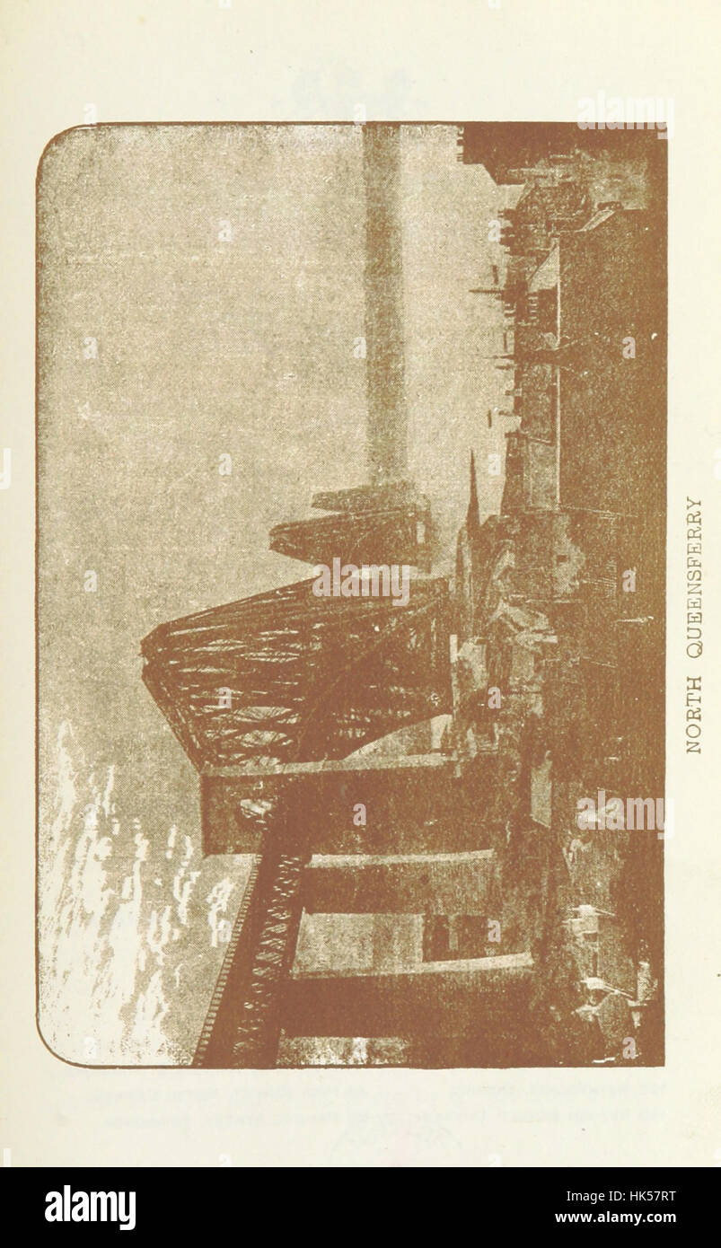 Inverkeithing. North Queensferry. Limekilns. Charlestown. The Ferry Hills. Their antiquities and recreative resources. History of Dunfermline Golf Club and plan of course. Edited by A. S. Cunningham Image taken from page 139 of 'Inverkeithing North Queensfer Stock Photohttps://www.alamy.com/image-license-details/?v=1https://www.alamy.com/stock-photo-inverkeithing-north-queensferry-limekilns-charlestown-the-ferry-hills-132266956.html
RMHK57RT–Inverkeithing. North Queensferry. Limekilns. Charlestown. The Ferry Hills. Their antiquities and recreative resources. History of Dunfermline Golf Club and plan of course. Edited by A. S. Cunningham Image taken from page 139 of 'Inverkeithing North Queensfer
 Scotland, region of United Kingdom. Colored elevation map with lakes and rivers. Locations of major cities of the region. Corner auxiliary location ma Stock Photohttps://www.alamy.com/image-license-details/?v=1https://www.alamy.com/scotland-region-of-united-kingdom-colored-elevation-map-with-lakes-and-rivers-locations-of-major-cities-of-the-region-corner-auxiliary-location-ma-image546006411.html
RF2PM8MMY–Scotland, region of United Kingdom. Colored elevation map with lakes and rivers. Locations of major cities of the region. Corner auxiliary location ma
 Inverkeithing. North Queensferry. Limekilns. Charlestown. The Ferry Hills. Their antiquities and recreative resources. History of Dunfermline Golf Club and plan of course. Edited by A. S. Cunningham Image taken from page 39 of 'Inverkeithing North Queensfer Stock Photohttps://www.alamy.com/image-license-details/?v=1https://www.alamy.com/stock-photo-inverkeithing-north-queensferry-limekilns-charlestown-the-ferry-hills-132330820.html
RMHK858M–Inverkeithing. North Queensferry. Limekilns. Charlestown. The Ferry Hills. Their antiquities and recreative resources. History of Dunfermline Golf Club and plan of course. Edited by A. S. Cunningham Image taken from page 39 of 'Inverkeithing North Queensfer
 Scotland, region of United Kingdom. Bilevel elevation map with lakes and rivers. Locations and names of major cities of the region. Corner auxiliary l Stock Photohttps://www.alamy.com/image-license-details/?v=1https://www.alamy.com/scotland-region-of-united-kingdom-bilevel-elevation-map-with-lakes-and-rivers-locations-and-names-of-major-cities-of-the-region-corner-auxiliary-l-image546006310.html
RF2PM8MHA–Scotland, region of United Kingdom. Bilevel elevation map with lakes and rivers. Locations and names of major cities of the region. Corner auxiliary l
 Inverkeithing. North Queensferry. Limekilns. Charlestown. The Ferry Hills. Their antiquities and recreative resources. History of Dunfermline Golf Club and plan of course. Edited by A. S. Cunningham Image taken from page 119 of 'Inverkeithing North Queensfer Stock Photohttps://www.alamy.com/image-license-details/?v=1https://www.alamy.com/stock-photo-inverkeithing-north-queensferry-limekilns-charlestown-the-ferry-hills-132251785.html
RMHK4GE1–Inverkeithing. North Queensferry. Limekilns. Charlestown. The Ferry Hills. Their antiquities and recreative resources. History of Dunfermline Golf Club and plan of course. Edited by A. S. Cunningham Image taken from page 119 of 'Inverkeithing North Queensfer
 Scotland, region of United Kingdom. Bilevel elevation map with lakes and rivers. Locations of major cities of the region. Corner auxiliary location ma Stock Photohttps://www.alamy.com/image-license-details/?v=1https://www.alamy.com/scotland-region-of-united-kingdom-bilevel-elevation-map-with-lakes-and-rivers-locations-of-major-cities-of-the-region-corner-auxiliary-location-ma-image546006353.html
RF2PM8MJW–Scotland, region of United Kingdom. Bilevel elevation map with lakes and rivers. Locations of major cities of the region. Corner auxiliary location ma
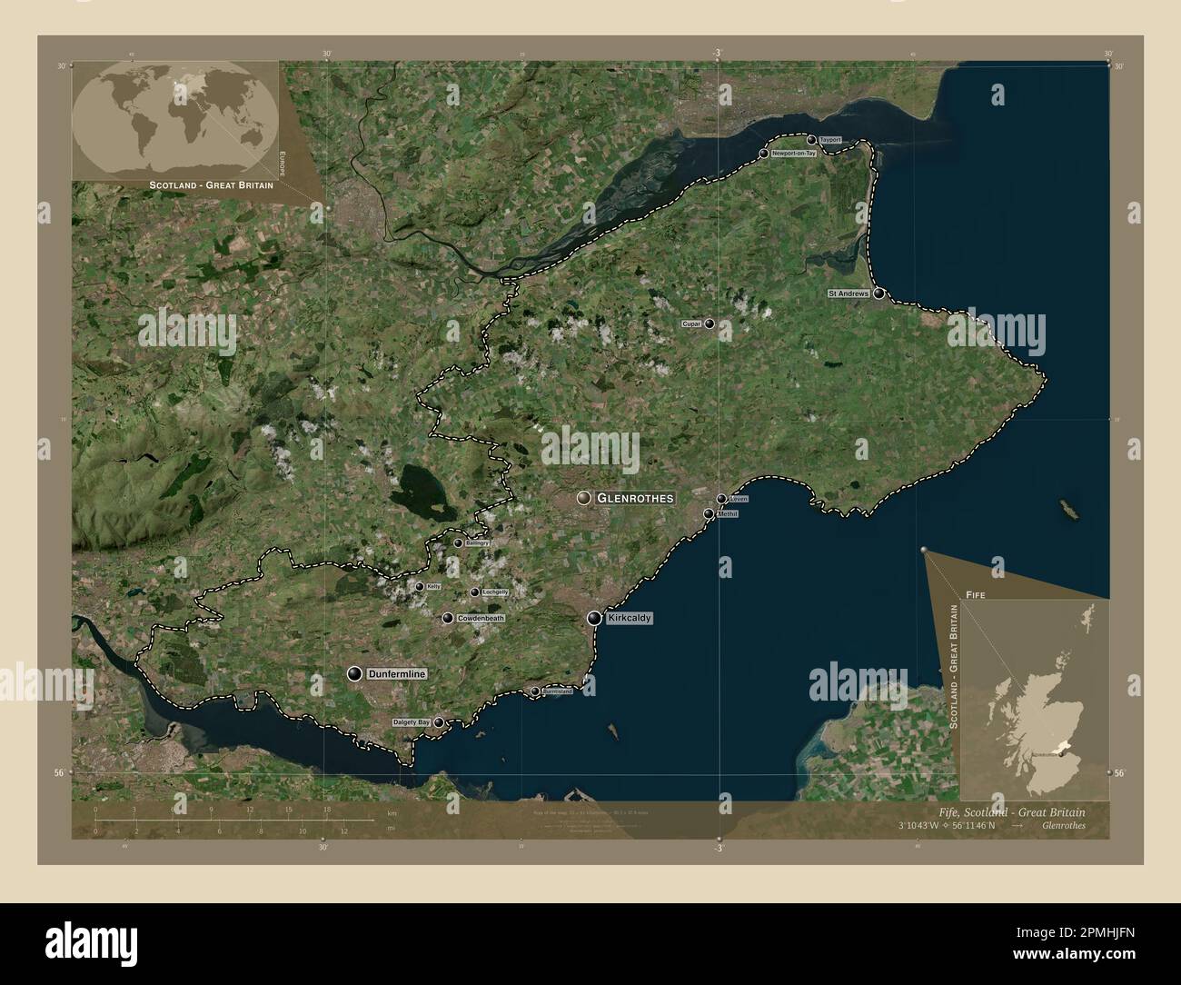 Fife, region of Scotland - Great Britain. High resolution satellite map. Locations and names of major cities of the region. Corner auxiliary location Stock Photohttps://www.alamy.com/image-license-details/?v=1https://www.alamy.com/fife-region-of-scotland-great-britain-high-resolution-satellite-map-locations-and-names-of-major-cities-of-the-region-corner-auxiliary-location-image546202265.html
RF2PMHJFN–Fife, region of Scotland - Great Britain. High resolution satellite map. Locations and names of major cities of the region. Corner auxiliary location
 Inverkeithing. North Queensferry. Limekilns. Charlestown. The Ferry Hills. Their antiquities and recreative resources. History of Dunfermline Golf Club and plan of course. Edited by A. S. Cunningham Image taken from page 211 of 'Inverkeithing North Queensfer Stock Photohttps://www.alamy.com/image-license-details/?v=1https://www.alamy.com/stock-photo-inverkeithing-north-queensferry-limekilns-charlestown-the-ferry-hills-132275458.html
RMHK5JKE–Inverkeithing. North Queensferry. Limekilns. Charlestown. The Ferry Hills. Their antiquities and recreative resources. History of Dunfermline Golf Club and plan of course. Edited by A. S. Cunningham Image taken from page 211 of 'Inverkeithing North Queensfer
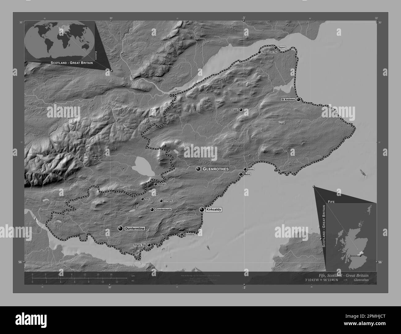 Fife, region of Scotland - Great Britain. Bilevel elevation map with lakes and rivers. Locations and names of major cities of the region. Corner auxil Stock Photohttps://www.alamy.com/image-license-details/?v=1https://www.alamy.com/fife-region-of-scotland-great-britain-bilevel-elevation-map-with-lakes-and-rivers-locations-and-names-of-major-cities-of-the-region-corner-auxil-image546202184.html
RF2PMHJCT–Fife, region of Scotland - Great Britain. Bilevel elevation map with lakes and rivers. Locations and names of major cities of the region. Corner auxil
 Inverkeithing. North Queensferry. Limekilns. Charlestown. The Ferry Hills. Their antiquities and recreative resources. History of Dunfermline Golf Club and plan of course. Edited by A. S. Cunningham Image taken from page 10 of 'Inverkeithing North Queensfer Stock Photohttps://www.alamy.com/image-license-details/?v=1https://www.alamy.com/stock-photo-inverkeithing-north-queensferry-limekilns-charlestown-the-ferry-hills-132235009.html
RMHK3R2W–Inverkeithing. North Queensferry. Limekilns. Charlestown. The Ferry Hills. Their antiquities and recreative resources. History of Dunfermline Golf Club and plan of course. Edited by A. S. Cunningham Image taken from page 10 of 'Inverkeithing North Queensfer
 Fife, region of Scotland - Great Britain. Colored elevation map with lakes and rivers. Locations and names of major cities of the region. Corner auxil Stock Photohttps://www.alamy.com/image-license-details/?v=1https://www.alamy.com/fife-region-of-scotland-great-britain-colored-elevation-map-with-lakes-and-rivers-locations-and-names-of-major-cities-of-the-region-corner-auxil-image546202480.html
RF2PMHJRC–Fife, region of Scotland - Great Britain. Colored elevation map with lakes and rivers. Locations and names of major cities of the region. Corner auxil