Quick filters:
Map of ozona texas Stock Photos and Images
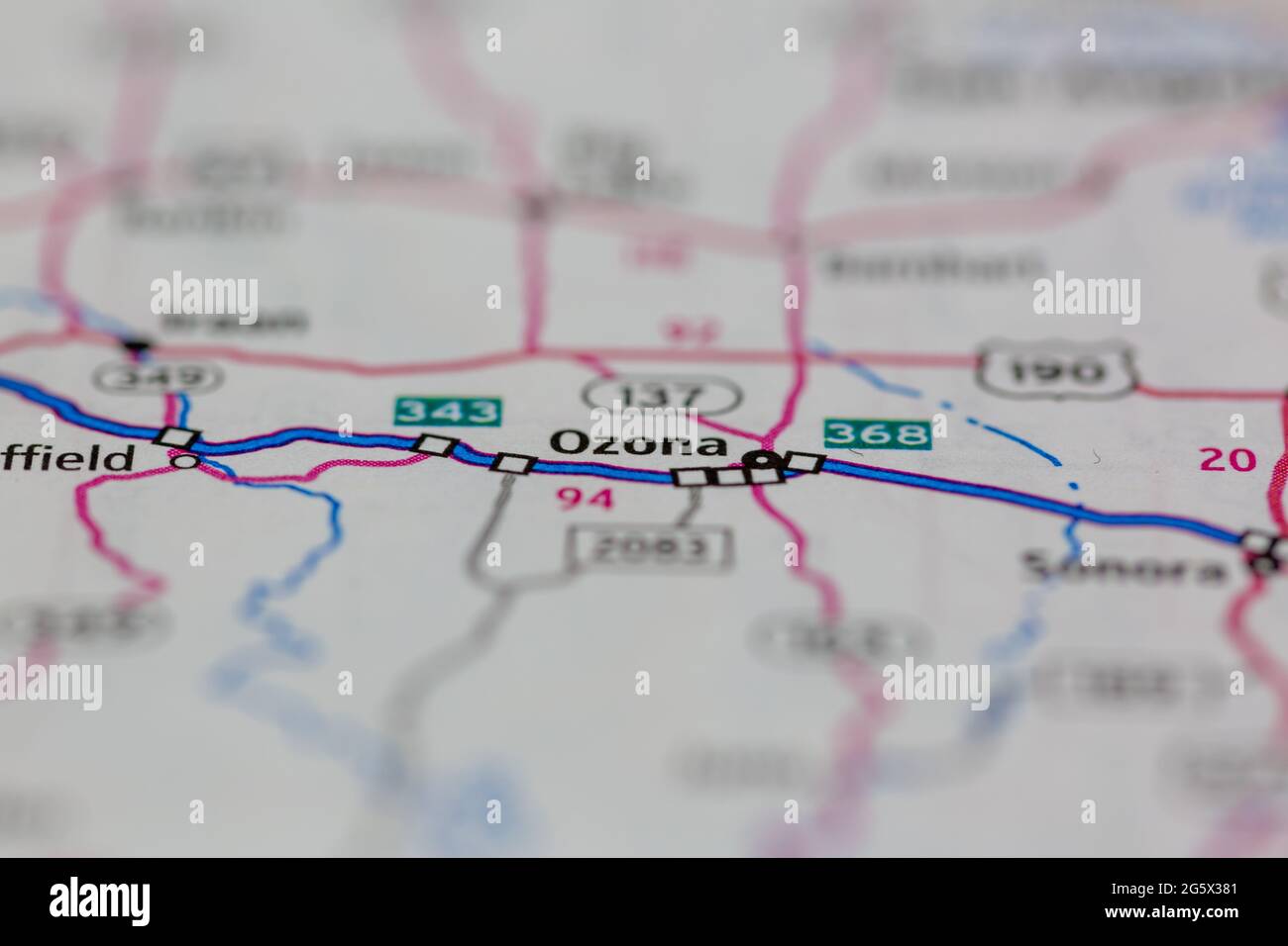 Ozona Texas USA shown on a Geography map or Road map Stock Photohttps://www.alamy.com/image-license-details/?v=1https://www.alamy.com/ozona-texas-usa-shown-on-a-geography-map-or-road-map-image433905809.html
RM2G5X381–Ozona Texas USA shown on a Geography map or Road map
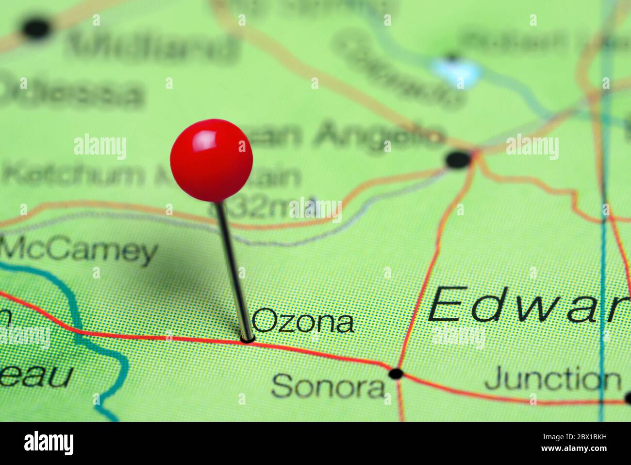 Ozona pinned on a map of Texas, USA Stock Photohttps://www.alamy.com/image-license-details/?v=1https://www.alamy.com/ozona-pinned-on-a-map-of-texas-usa-image360219541.html
RF2BX1BKH–Ozona pinned on a map of Texas, USA
 Ozona, Crockett County, US, United States, Texas, N 30 42' 36'', S 101 12' 2'', map, Cartascapes Map published in 2024. Explore Cartascapes, a map revealing Earth's diverse landscapes, cultures, and ecosystems. Journey through time and space, discovering the interconnectedness of our planet's past, present, and future. Stock Photohttps://www.alamy.com/image-license-details/?v=1https://www.alamy.com/ozona-crockett-county-us-united-states-texas-n-30-42-36-s-101-12-2-map-cartascapes-map-published-in-2024-explore-cartascapes-a-map-revealing-earths-diverse-landscapes-cultures-and-ecosystems-journey-through-time-and-space-discovering-the-interconnectedness-of-our-planets-past-present-and-future-image621158909.html
RM2Y2G6EN–Ozona, Crockett County, US, United States, Texas, N 30 42' 36'', S 101 12' 2'', map, Cartascapes Map published in 2024. Explore Cartascapes, a map revealing Earth's diverse landscapes, cultures, and ecosystems. Journey through time and space, discovering the interconnectedness of our planet's past, present, and future.
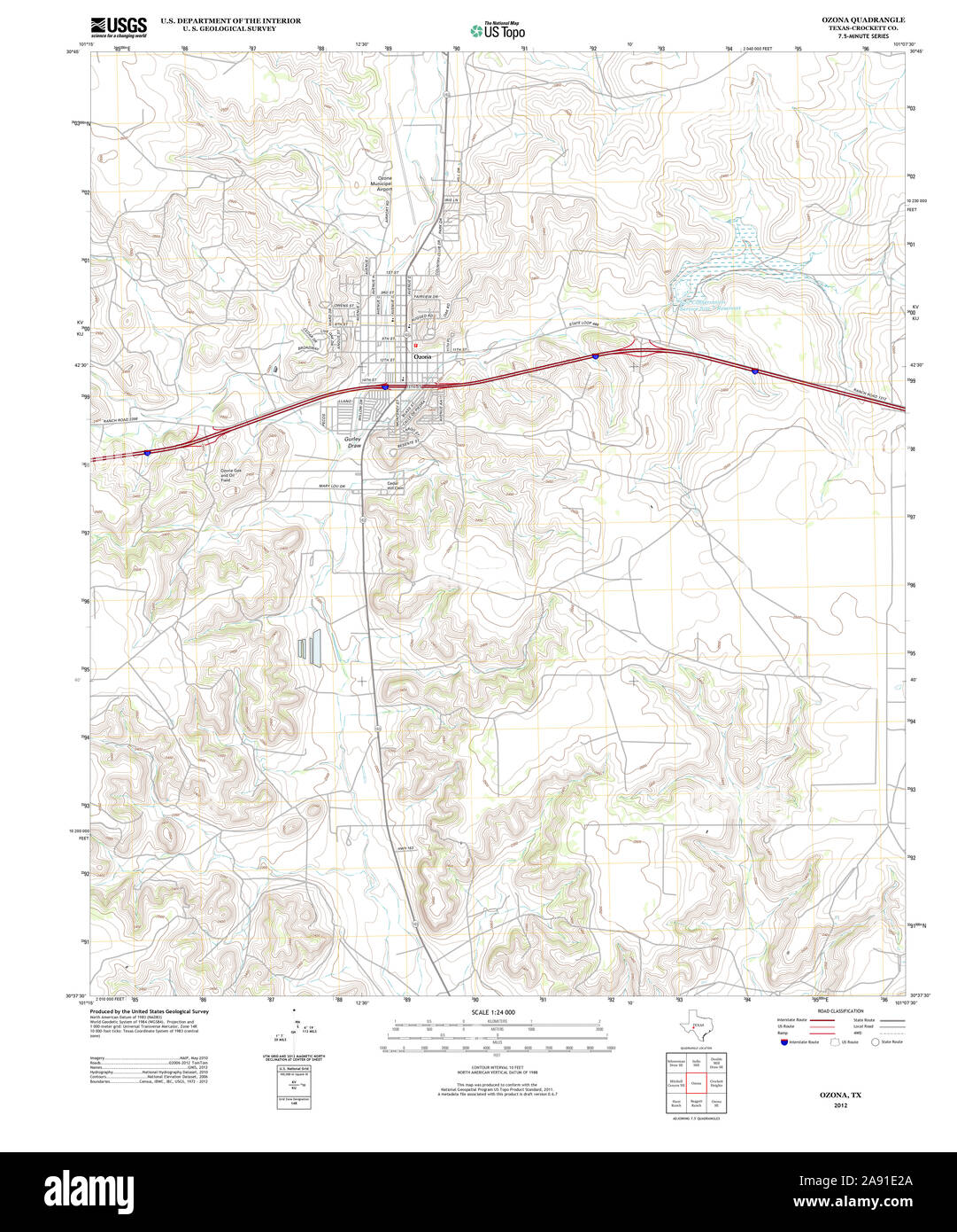 USGS TOPO Map Texas TX Ozona 20121203 TM Restoration Stock Photohttps://www.alamy.com/image-license-details/?v=1https://www.alamy.com/usgs-topo-map-texas-tx-ozona-20121203-tm-restoration-image332561890.html
RM2A91E2A–USGS TOPO Map Texas TX Ozona 20121203 TM Restoration
 Crockett County, Texas (Counties in Texas, United States of America,USA, U.S., US) map vector illustration, scribble sketch Crockett map Stock Vectorhttps://www.alamy.com/image-license-details/?v=1https://www.alamy.com/crockett-county-texas-counties-in-texas-united-states-of-americausa-us-us-map-vector-illustration-scribble-sketch-crockett-map-image249270869.html
RFTDF7F1–Crockett County, Texas (Counties in Texas, United States of America,USA, U.S., US) map vector illustration, scribble sketch Crockett map
 Ozona, Texas, map 1967, 1:24000, United States of America by Timeless Maps, data U.S. Geological Survey Stock Photohttps://www.alamy.com/image-license-details/?v=1https://www.alamy.com/ozona-texas-map-1967-124000-united-states-of-america-by-timeless-maps-data-us-geological-survey-image406987978.html
RM2EJ3W8X–Ozona, Texas, map 1967, 1:24000, United States of America by Timeless Maps, data U.S. Geological Survey
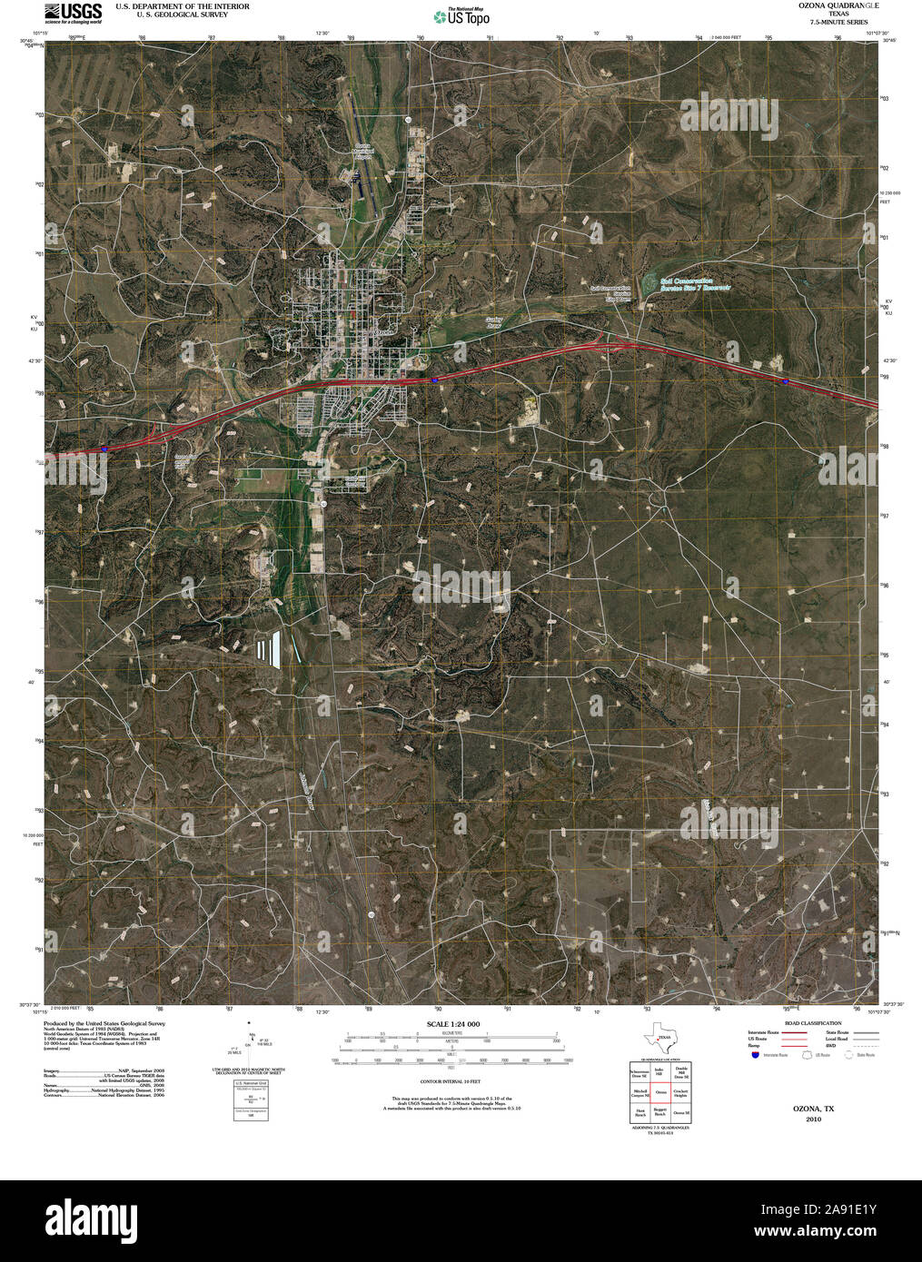 USGS TOPO Map Texas TX Ozona 20100213 TM Restoration Stock Photohttps://www.alamy.com/image-license-details/?v=1https://www.alamy.com/usgs-topo-map-texas-tx-ozona-20100213-tm-restoration-image332561879.html
RM2A91E1Y–USGS TOPO Map Texas TX Ozona 20100213 TM Restoration
 Crockett County, Texas (Counties in Texas, United States of America,USA, U.S., US) map vector illustration, scribble sketch Crockett map Stock Vectorhttps://www.alamy.com/image-license-details/?v=1https://www.alamy.com/crockett-county-texas-counties-in-texas-united-states-of-americausa-us-us-map-vector-illustration-scribble-sketch-crockett-map-image263437060.html
RFW8GGJC–Crockett County, Texas (Counties in Texas, United States of America,USA, U.S., US) map vector illustration, scribble sketch Crockett map
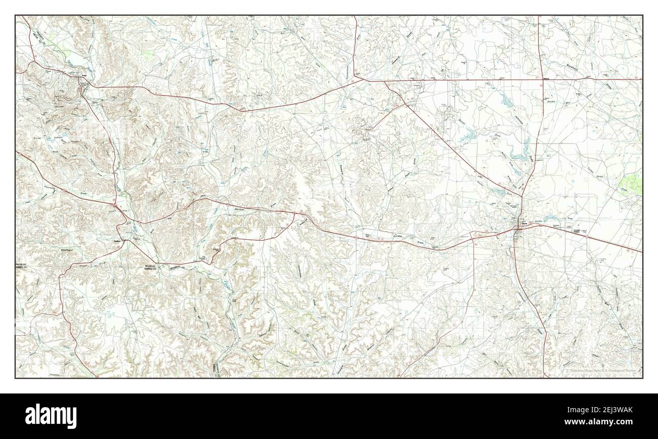 Ozona, Texas, map 1985, 1:100000, United States of America by Timeless Maps, data U.S. Geological Survey Stock Photohttps://www.alamy.com/image-license-details/?v=1https://www.alamy.com/ozona-texas-map-1985-1100000-united-states-of-america-by-timeless-maps-data-us-geological-survey-image406988027.html
RM2EJ3WAK–Ozona, Texas, map 1985, 1:100000, United States of America by Timeless Maps, data U.S. Geological Survey
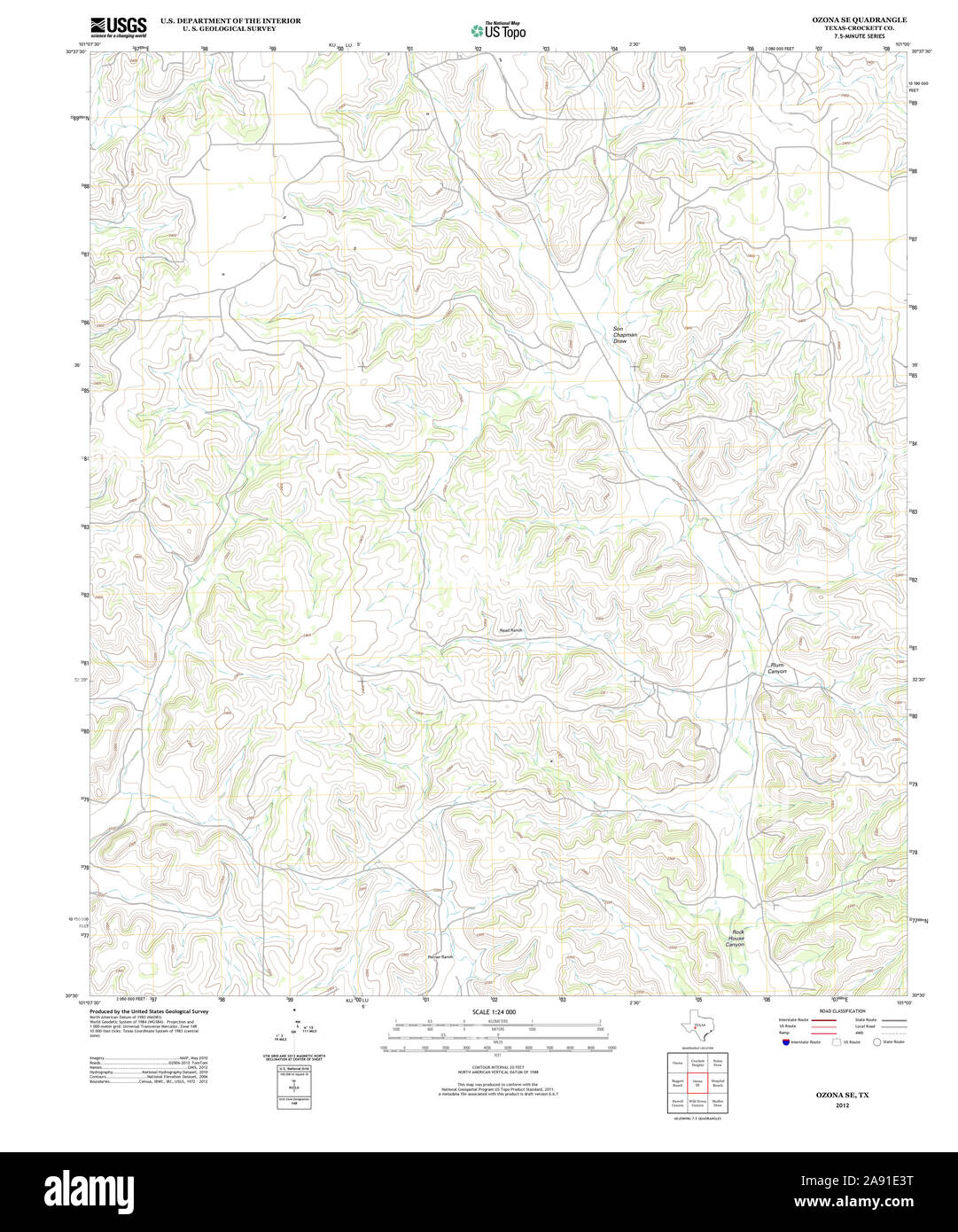 USGS TOPO Map Texas TX Ozona SE 20121203 TM Restoration Stock Photohttps://www.alamy.com/image-license-details/?v=1https://www.alamy.com/usgs-topo-map-texas-tx-ozona-se-20121203-tm-restoration-image332561932.html
RM2A91E3T–USGS TOPO Map Texas TX Ozona SE 20121203 TM Restoration
 Crockett County, Texas (Counties in Texas, United States of America,USA, U.S., US) map vector illustration, scribble sketch Crockett map Stock Vectorhttps://www.alamy.com/image-license-details/?v=1https://www.alamy.com/crockett-county-texas-counties-in-texas-united-states-of-americausa-us-us-map-vector-illustration-scribble-sketch-crockett-map-image248099334.html
RFTBHW6E–Crockett County, Texas (Counties in Texas, United States of America,USA, U.S., US) map vector illustration, scribble sketch Crockett map
 Ozona, Texas, map 1967, 1:24000, United States of America by Timeless Maps, data U.S. Geological Survey Stock Photohttps://www.alamy.com/image-license-details/?v=1https://www.alamy.com/ozona-texas-map-1967-124000-united-states-of-america-by-timeless-maps-data-us-geological-survey-image406987961.html
RM2EJ3W89–Ozona, Texas, map 1967, 1:24000, United States of America by Timeless Maps, data U.S. Geological Survey
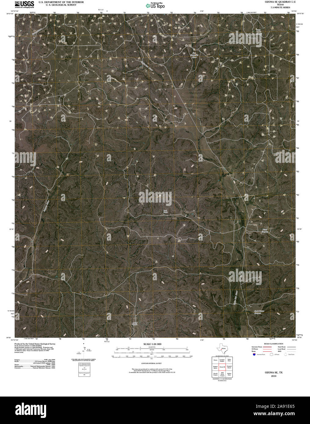 USGS TOPO Map Texas TX Ozona SE 20100213 TM Restoration Stock Photohttps://www.alamy.com/image-license-details/?v=1https://www.alamy.com/usgs-topo-map-texas-tx-ozona-se-20100213-tm-restoration-image332561997.html
RM2A91E65–USGS TOPO Map Texas TX Ozona SE 20100213 TM Restoration
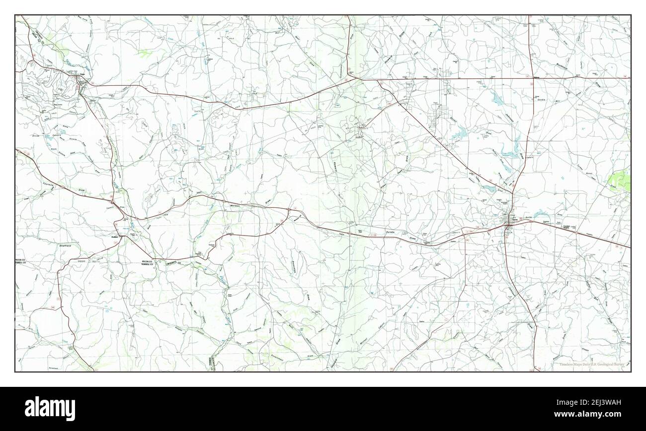 Ozona, Texas, map 1985, 1:100000, United States of America by Timeless Maps, data U.S. Geological Survey Stock Photohttps://www.alamy.com/image-license-details/?v=1https://www.alamy.com/ozona-texas-map-1985-1100000-united-states-of-america-by-timeless-maps-data-us-geological-survey-image406988025.html
RM2EJ3WAH–Ozona, Texas, map 1985, 1:100000, United States of America by Timeless Maps, data U.S. Geological Survey
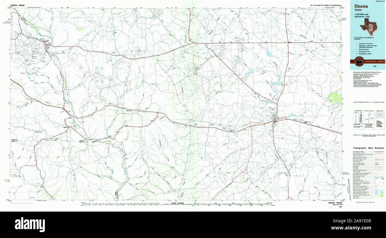 USGS TOPO Map Texas TX Ozona 117426 1985 100000 Restoration Stock Photohttps://www.alamy.com/image-license-details/?v=1https://www.alamy.com/usgs-topo-map-texas-tx-ozona-117426-1985-100000-restoration-image332561847.html
RM2A91E0R–USGS TOPO Map Texas TX Ozona 117426 1985 100000 Restoration
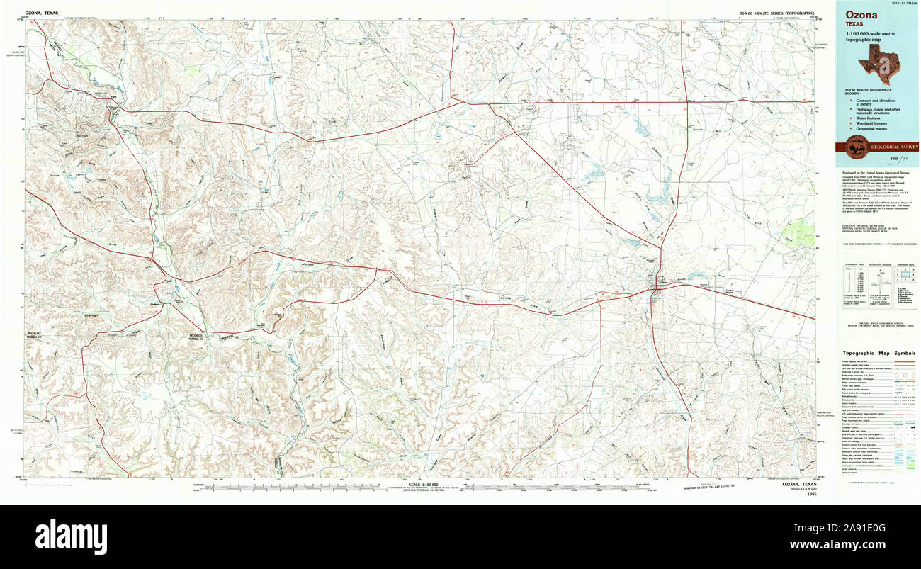 USGS TOPO Map Texas TX Ozona 117425 1985 100000 Restoration Stock Photohttps://www.alamy.com/image-license-details/?v=1https://www.alamy.com/usgs-topo-map-texas-tx-ozona-117425-1985-100000-restoration-image332561840.html
RM2A91E0G–USGS TOPO Map Texas TX Ozona 117425 1985 100000 Restoration
 USGS TOPO Map Texas TX Ozona 116140 1967 24000 Restoration Stock Photohttps://www.alamy.com/image-license-details/?v=1https://www.alamy.com/usgs-topo-map-texas-tx-ozona-116140-1967-24000-restoration-image332561745.html
RM2A91DW5–USGS TOPO Map Texas TX Ozona 116140 1967 24000 Restoration
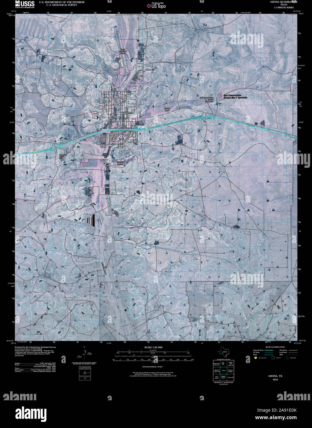 USGS TOPO Map Texas TX Ozona 20100213 TM Inverted Restoration Stock Photohttps://www.alamy.com/image-license-details/?v=1https://www.alamy.com/usgs-topo-map-texas-tx-ozona-20100213-tm-inverted-restoration-image332561843.html
RM2A91E0K–USGS TOPO Map Texas TX Ozona 20100213 TM Inverted Restoration
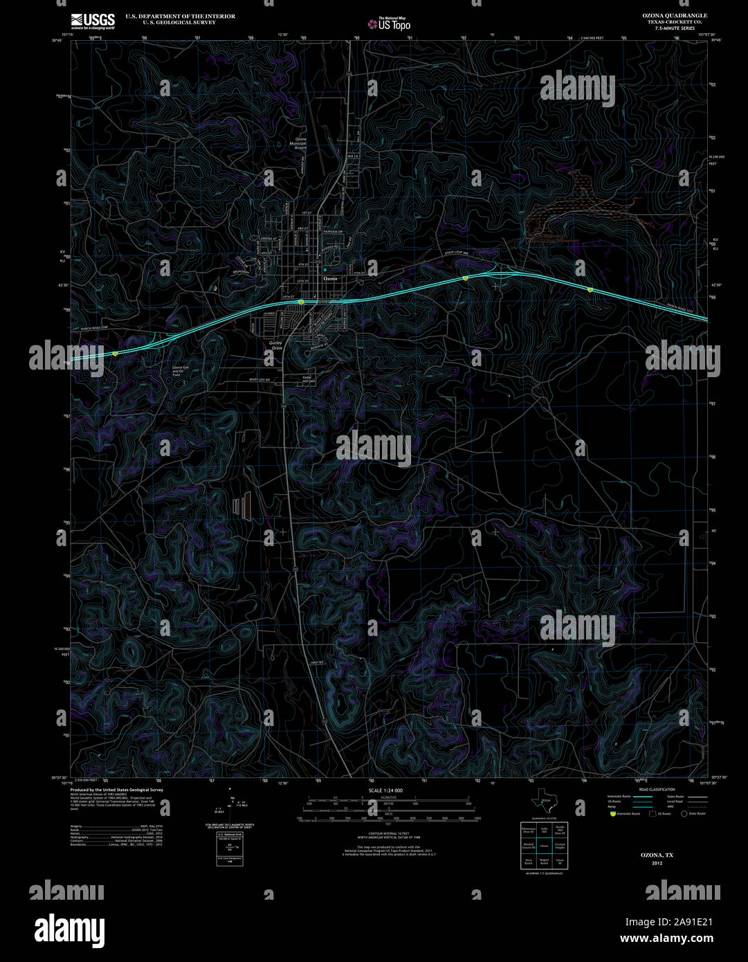 USGS TOPO Map Texas TX Ozona 20121203 TM Inverted Restoration Stock Photohttps://www.alamy.com/image-license-details/?v=1https://www.alamy.com/usgs-topo-map-texas-tx-ozona-20121203-tm-inverted-restoration-image332561881.html
RM2A91E21–USGS TOPO Map Texas TX Ozona 20121203 TM Inverted Restoration
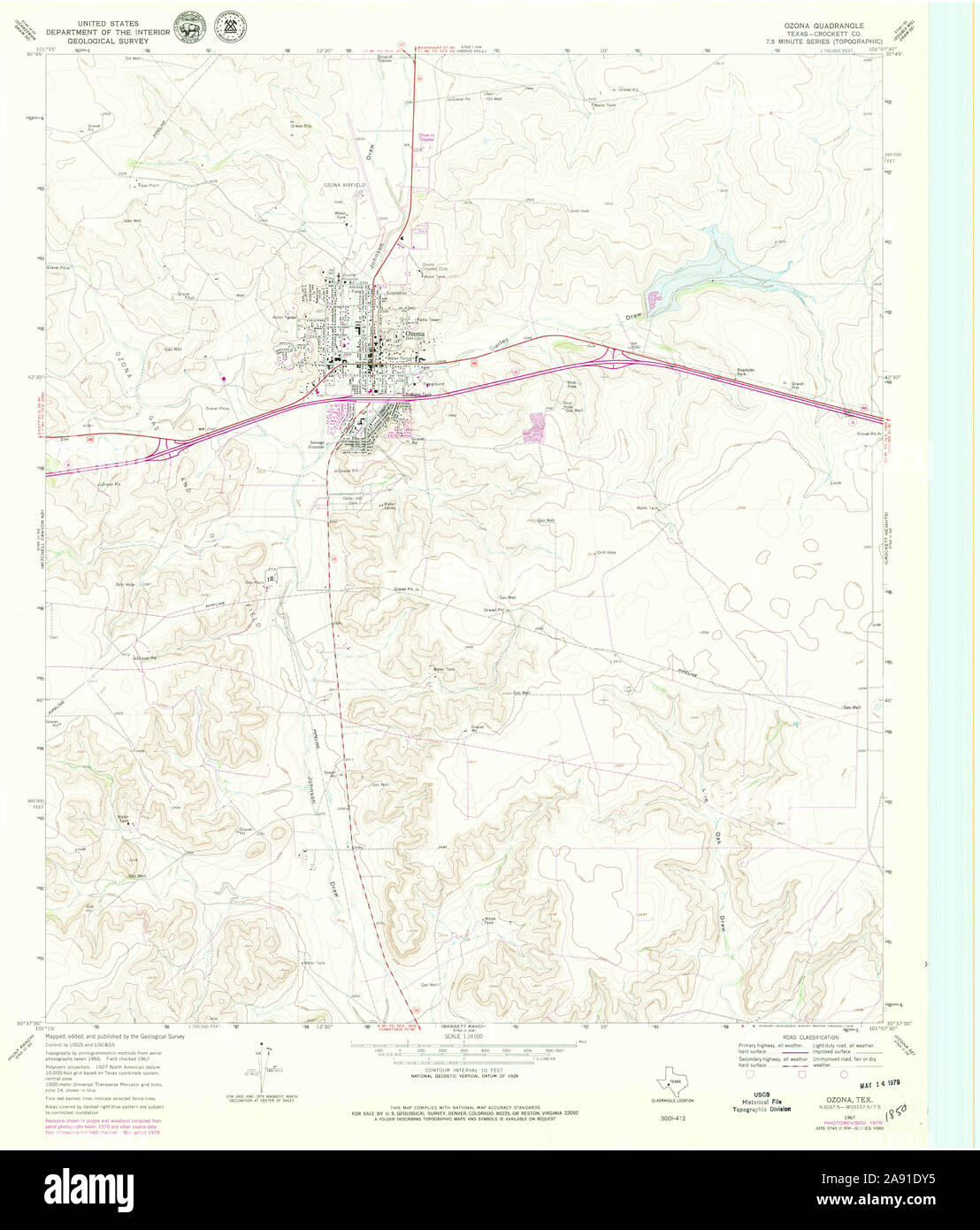 USGS TOPO Map Texas TX Ozona 116141 1967 24000 Restoration Stock Photohttps://www.alamy.com/image-license-details/?v=1https://www.alamy.com/usgs-topo-map-texas-tx-ozona-116141-1967-24000-restoration-image332561801.html
RM2A91DY5–USGS TOPO Map Texas TX Ozona 116141 1967 24000 Restoration
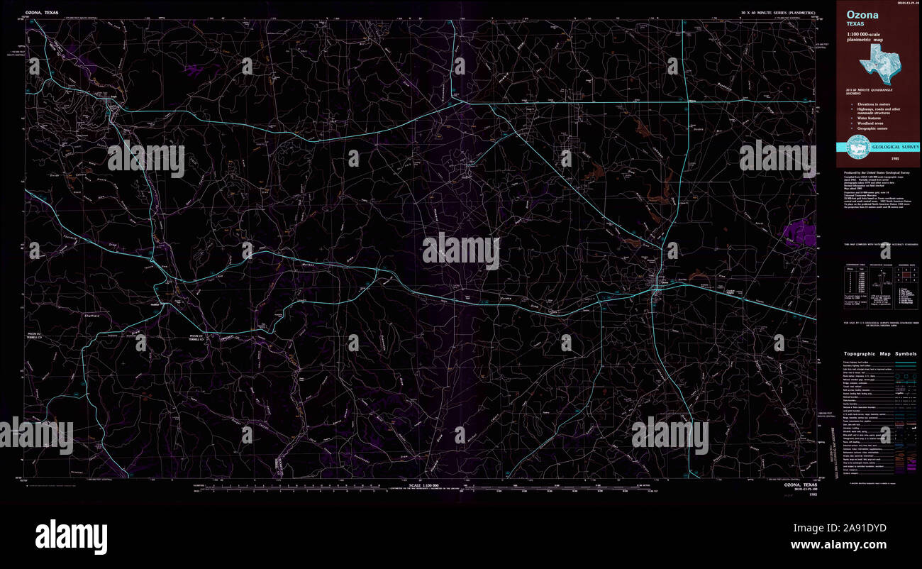 USGS TOPO Map Texas TX Ozona 117426 1985 100000 Inverted Restoration Stock Photohttps://www.alamy.com/image-license-details/?v=1https://www.alamy.com/usgs-topo-map-texas-tx-ozona-117426-1985-100000-inverted-restoration-image332561809.html
RM2A91DYD–USGS TOPO Map Texas TX Ozona 117426 1985 100000 Inverted Restoration
 USGS TOPO Map Texas TX Ozona 117425 1985 100000 Inverted Restoration Stock Photohttps://www.alamy.com/image-license-details/?v=1https://www.alamy.com/usgs-topo-map-texas-tx-ozona-117425-1985-100000-inverted-restoration-image332561844.html
RM2A91E0M–USGS TOPO Map Texas TX Ozona 117425 1985 100000 Inverted Restoration
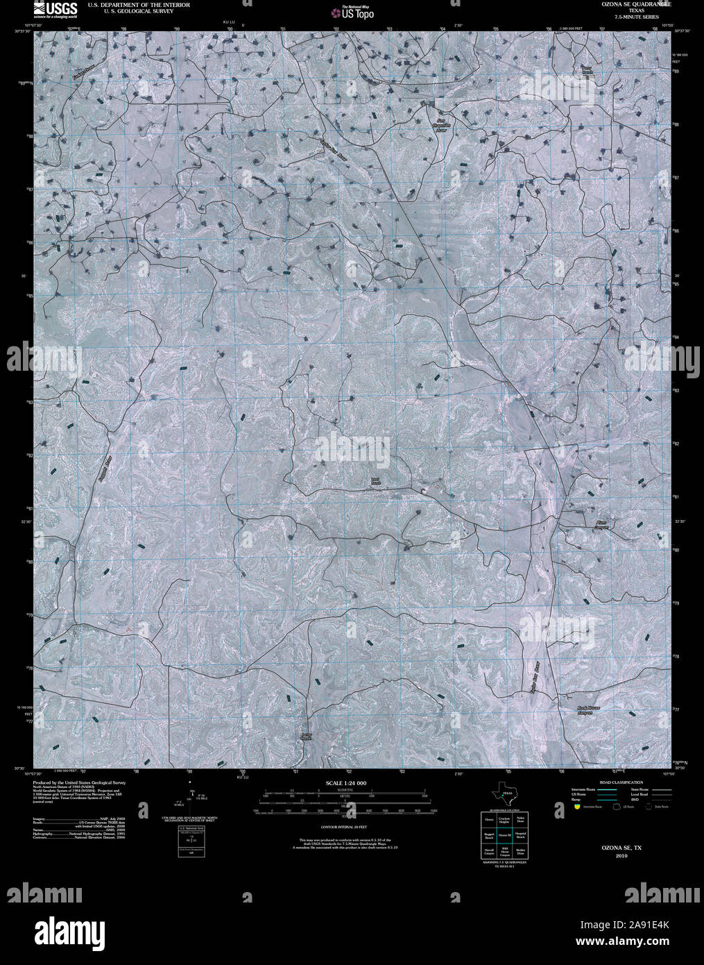 USGS TOPO Map Texas TX Ozona SE 20100213 TM Inverted Restoration Stock Photohttps://www.alamy.com/image-license-details/?v=1https://www.alamy.com/usgs-topo-map-texas-tx-ozona-se-20100213-tm-inverted-restoration-image332561955.html
RM2A91E4K–USGS TOPO Map Texas TX Ozona SE 20100213 TM Inverted Restoration
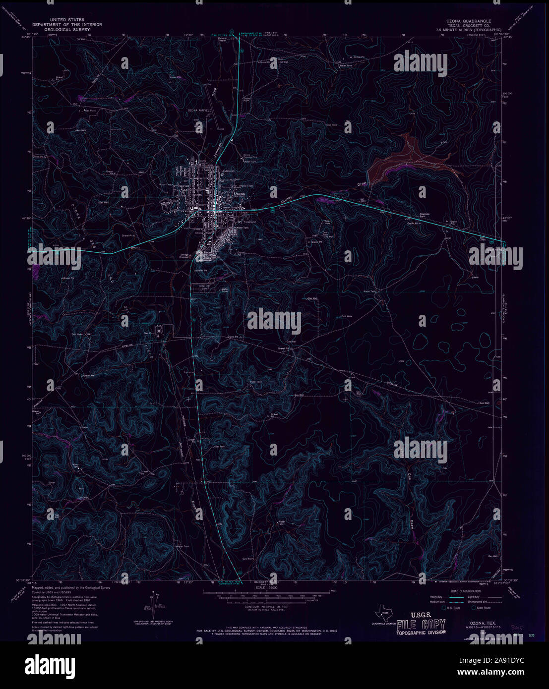 USGS TOPO Map Texas TX Ozona 116140 1967 24000 Inverted Restoration Stock Photohttps://www.alamy.com/image-license-details/?v=1https://www.alamy.com/usgs-topo-map-texas-tx-ozona-116140-1967-24000-inverted-restoration-image332561808.html
RM2A91DYC–USGS TOPO Map Texas TX Ozona 116140 1967 24000 Inverted Restoration
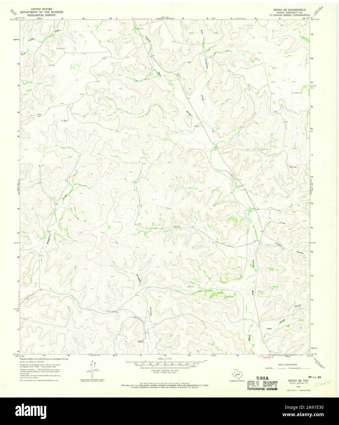 USGS TOPO Map Texas TX Ozona SE 116138 1967 24000 Restoration Stock Photohttps://www.alamy.com/image-license-details/?v=1https://www.alamy.com/usgs-topo-map-texas-tx-ozona-se-116138-1967-24000-restoration-image332561908.html
RM2A91E30–USGS TOPO Map Texas TX Ozona SE 116138 1967 24000 Restoration
 USGS TOPO Map Texas TX Ozona SE 116139 1967 24000 Restoration Stock Photohttps://www.alamy.com/image-license-details/?v=1https://www.alamy.com/usgs-topo-map-texas-tx-ozona-se-116139-1967-24000-restoration-image332561899.html
RM2A91E2K–USGS TOPO Map Texas TX Ozona SE 116139 1967 24000 Restoration
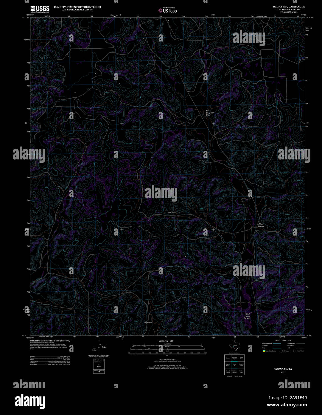 USGS TOPO Map Texas TX Ozona SE 20121203 TM Inverted Restoration Stock Photohttps://www.alamy.com/image-license-details/?v=1https://www.alamy.com/usgs-topo-map-texas-tx-ozona-se-20121203-tm-inverted-restoration-image332561959.html
RM2A91E4R–USGS TOPO Map Texas TX Ozona SE 20121203 TM Inverted Restoration
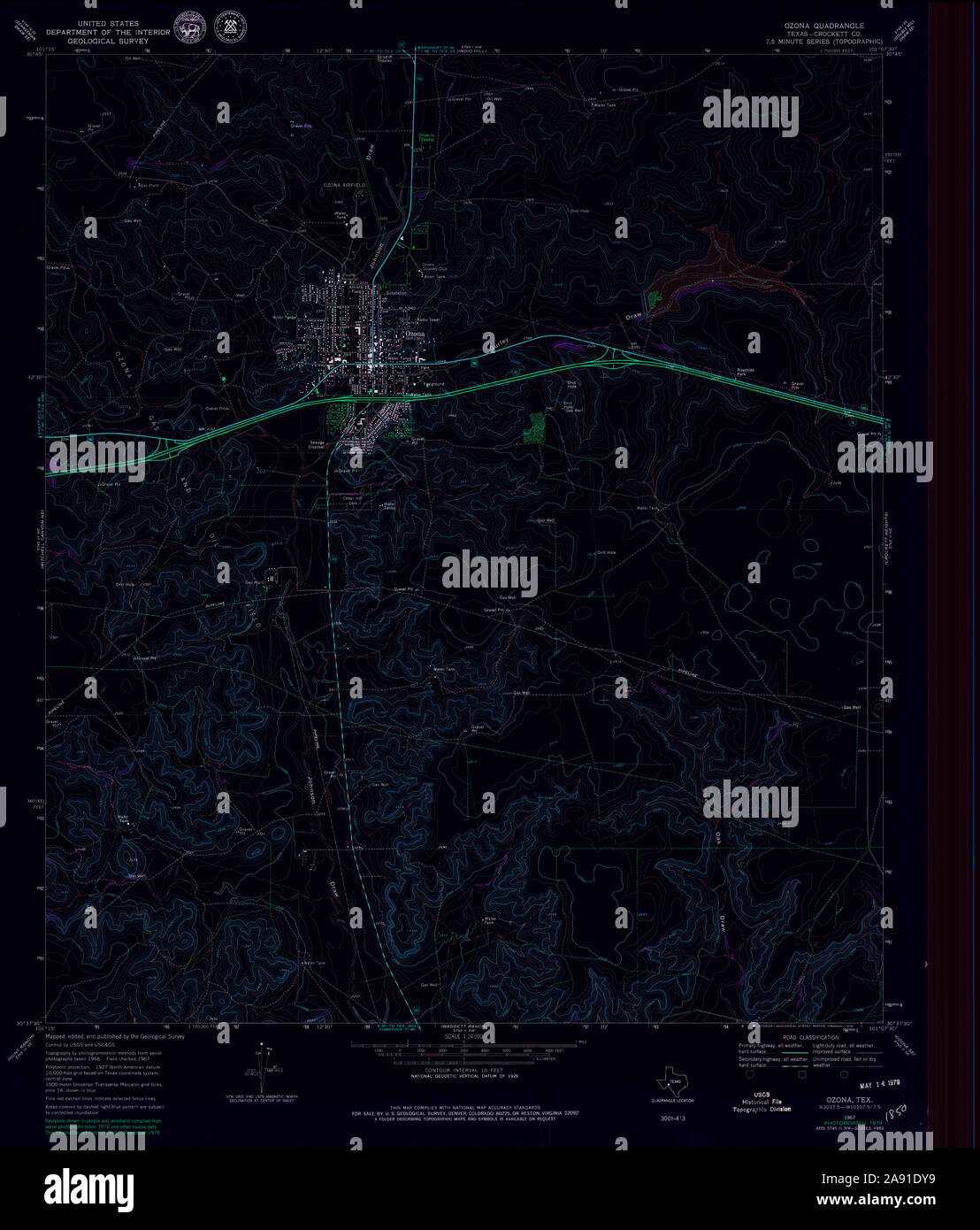 USGS TOPO Map Texas TX Ozona 116141 1967 24000 Inverted Restoration Stock Photohttps://www.alamy.com/image-license-details/?v=1https://www.alamy.com/usgs-topo-map-texas-tx-ozona-116141-1967-24000-inverted-restoration-image332561805.html
RM2A91DY9–USGS TOPO Map Texas TX Ozona 116141 1967 24000 Inverted Restoration
 USGS TOPO Map Texas TX Ozona SE 116138 1967 24000 Inverted Restoration Stock Photohttps://www.alamy.com/image-license-details/?v=1https://www.alamy.com/usgs-topo-map-texas-tx-ozona-se-116138-1967-24000-inverted-restoration-image332561878.html
RM2A91E1X–USGS TOPO Map Texas TX Ozona SE 116138 1967 24000 Inverted Restoration
 USGS TOPO Map Texas TX Ozona SE 116139 1967 24000 Inverted Restoration Stock Photohttps://www.alamy.com/image-license-details/?v=1https://www.alamy.com/usgs-topo-map-texas-tx-ozona-se-116139-1967-24000-inverted-restoration-image332561894.html
RM2A91E2E–USGS TOPO Map Texas TX Ozona SE 116139 1967 24000 Inverted Restoration