Quick filters:
Map of runcorn Stock Photos and Images
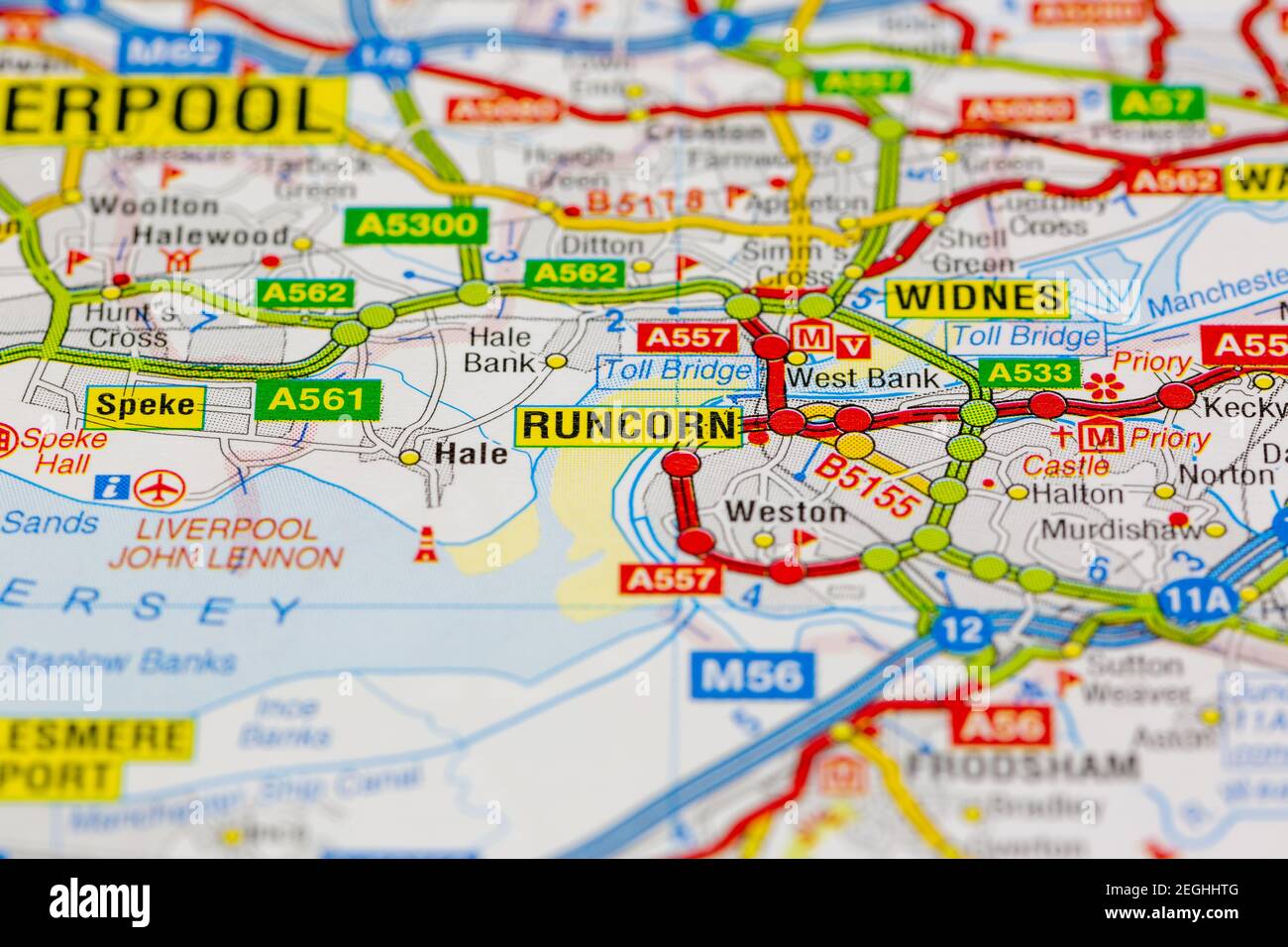 runcorn and surrounding areas shown on a road map or geography map Stock Photohttps://www.alamy.com/image-license-details/?v=1https://www.alamy.com/runcorn-and-surrounding-areas-shown-on-a-road-map-or-geography-map-image406060160.html
RM2EGHHTG–runcorn and surrounding areas shown on a road map or geography map
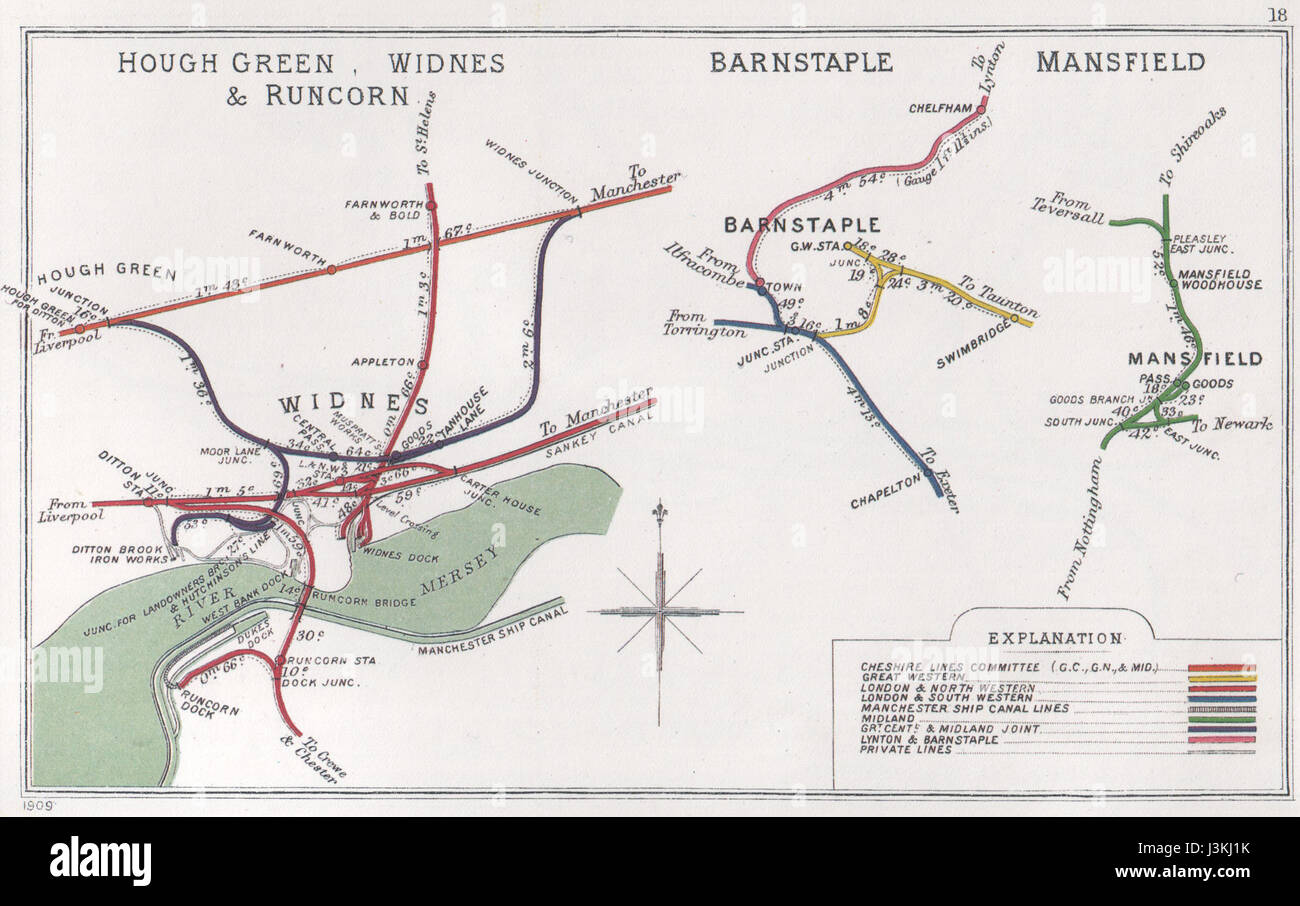 Hough Green, Widnes & Runcorn Barnstaple Mansfield RJD 18 Stock Photohttps://www.alamy.com/image-license-details/?v=1https://www.alamy.com/stock-photo-hough-green-widnes-runcorn-barnstaple-mansfield-rjd-18-139958159.html
RMJ3KJ1K–Hough Green, Widnes & Runcorn Barnstaple Mansfield RJD 18
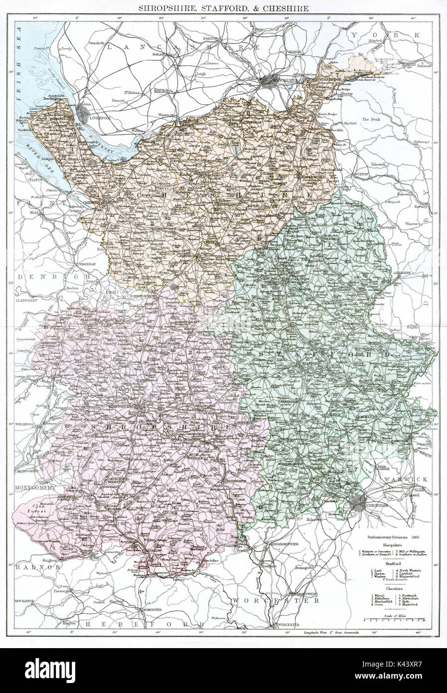 Antique map, circa 1875, of Shropshire Staffordshire Cheshire Stock Photohttps://www.alamy.com/image-license-details/?v=1https://www.alamy.com/antique-map-circa-1875-of-shropshire-staffordshire-cheshire-image157438827.html
RMK43XR7–Antique map, circa 1875, of Shropshire Staffordshire Cheshire
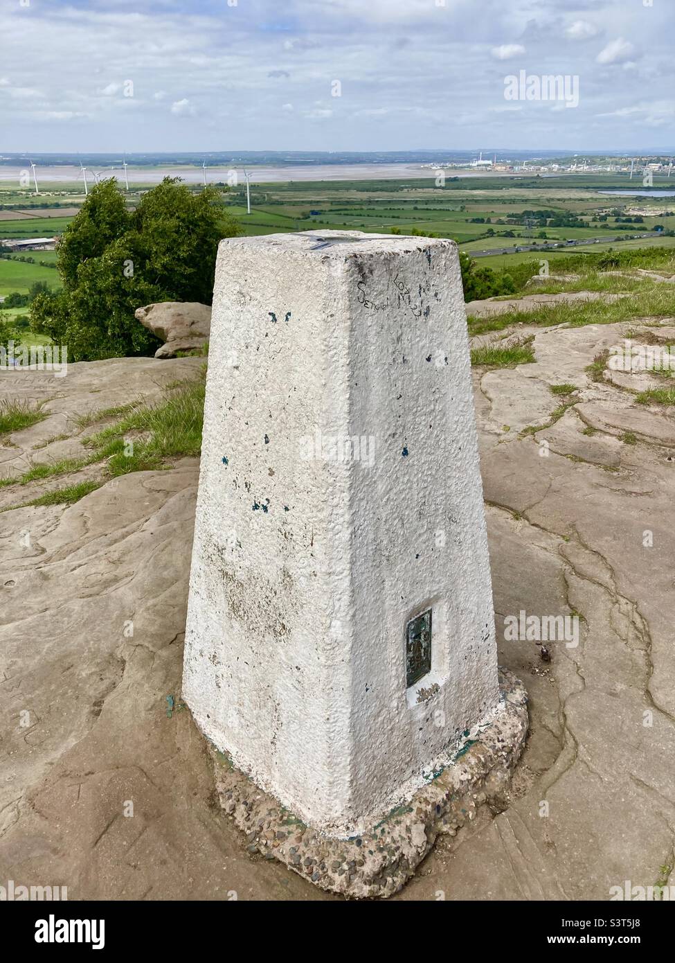 Helsby hill trig point Stock Photohttps://www.alamy.com/image-license-details/?v=1https://www.alamy.com/helsby-hill-trig-point-image312161872.html
RFS3T5J8–Helsby hill trig point
 Runcorn, Brisbane, AU, Australia, Queensland, S 27 35' 51'', N 153 4' 37'', map, Cartascapes Map published in 2024. Explore Cartascapes, a map revealing Earth's diverse landscapes, cultures, and ecosystems. Journey through time and space, discovering the interconnectedness of our planet's past, present, and future. Stock Photohttps://www.alamy.com/image-license-details/?v=1https://www.alamy.com/runcorn-brisbane-au-australia-queensland-s-27-35-51-n-153-4-37-map-cartascapes-map-published-in-2024-explore-cartascapes-a-map-revealing-earths-diverse-landscapes-cultures-and-ecosystems-journey-through-time-and-space-discovering-the-interconnectedness-of-our-planets-past-present-and-future-image625406490.html
RM2Y9DMA2–Runcorn, Brisbane, AU, Australia, Queensland, S 27 35' 51'', N 153 4' 37'', map, Cartascapes Map published in 2024. Explore Cartascapes, a map revealing Earth's diverse landscapes, cultures, and ecosystems. Journey through time and space, discovering the interconnectedness of our planet's past, present, and future.
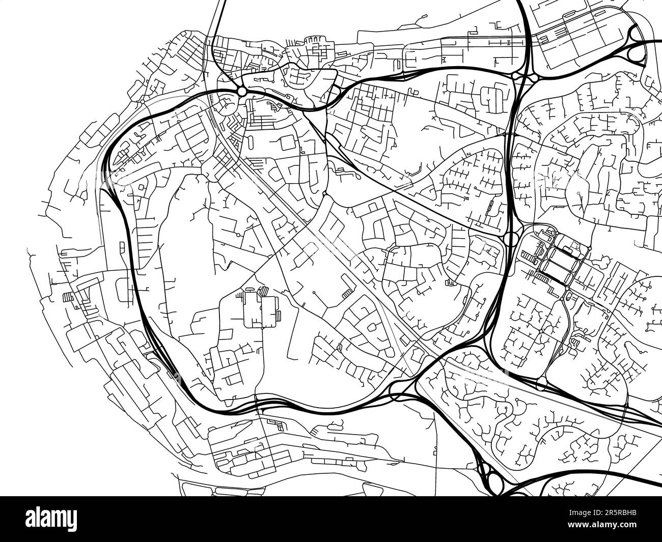 Road map of the city of Runcorn in the United Kingdom on a white background. Stock Photohttps://www.alamy.com/image-license-details/?v=1https://www.alamy.com/road-map-of-the-city-of-runcorn-in-the-united-kingdom-on-a-white-background-image554319063.html
RF2R5RBHB–Road map of the city of Runcorn in the United Kingdom on a white background.
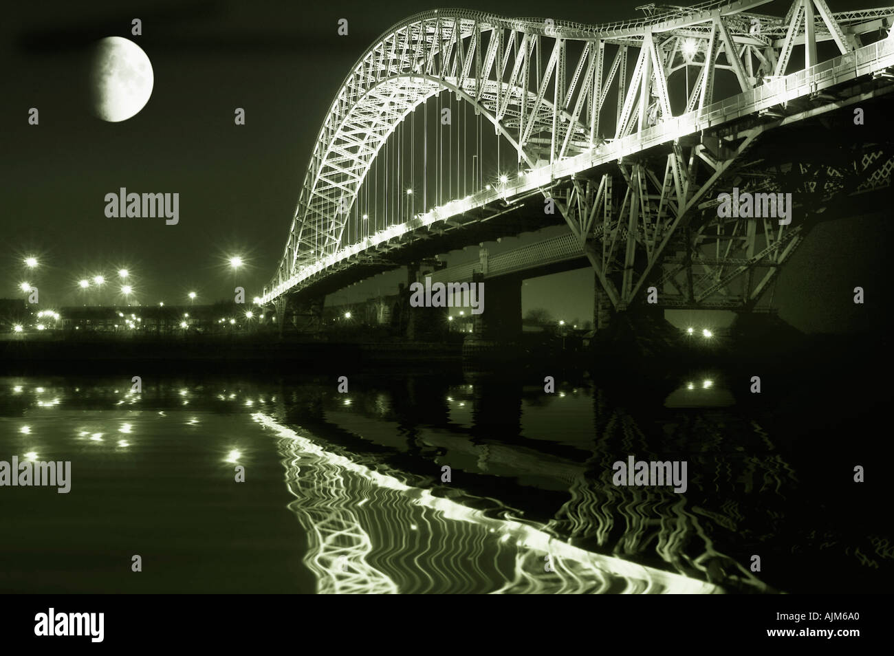 Runcorn bridge and moon Stock Photohttps://www.alamy.com/image-license-details/?v=1https://www.alamy.com/runcorn-bridge-and-moon-image2737823.html
RFAJM6A0–Runcorn bridge and moon
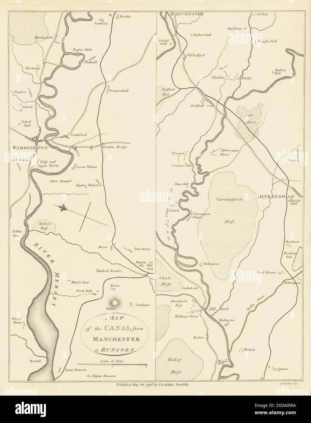 Bridgewater canal. Map of the canal from Manchester to Runcorn 1795 old Stock Photohttps://www.alamy.com/image-license-details/?v=1https://www.alamy.com/bridgewater-canal-map-of-the-canal-from-manchester-to-runcorn-1795-old-image610573638.html
RF2XDA0WA–Bridgewater canal. Map of the canal from Manchester to Runcorn 1795 old
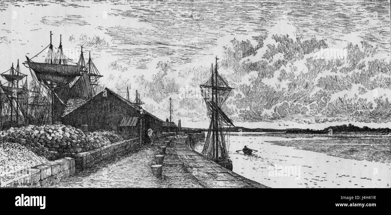 Runcorn Dock Stock Photohttps://www.alamy.com/image-license-details/?v=1https://www.alamy.com/stock-photo-runcorn-dock-140517939.html
RMJ4H41R–Runcorn Dock
 WIDNES Runcorn Woodend Westbank Appleton Farnworth 1935 old vintage map chart Stock Photohttps://www.alamy.com/image-license-details/?v=1https://www.alamy.com/widnes-runcorn-woodend-westbank-appleton-farnworth-1935-old-vintage-map-chart-image538845478.html
RF2P8JEWA–WIDNES Runcorn Woodend Westbank Appleton Farnworth 1935 old vintage map chart
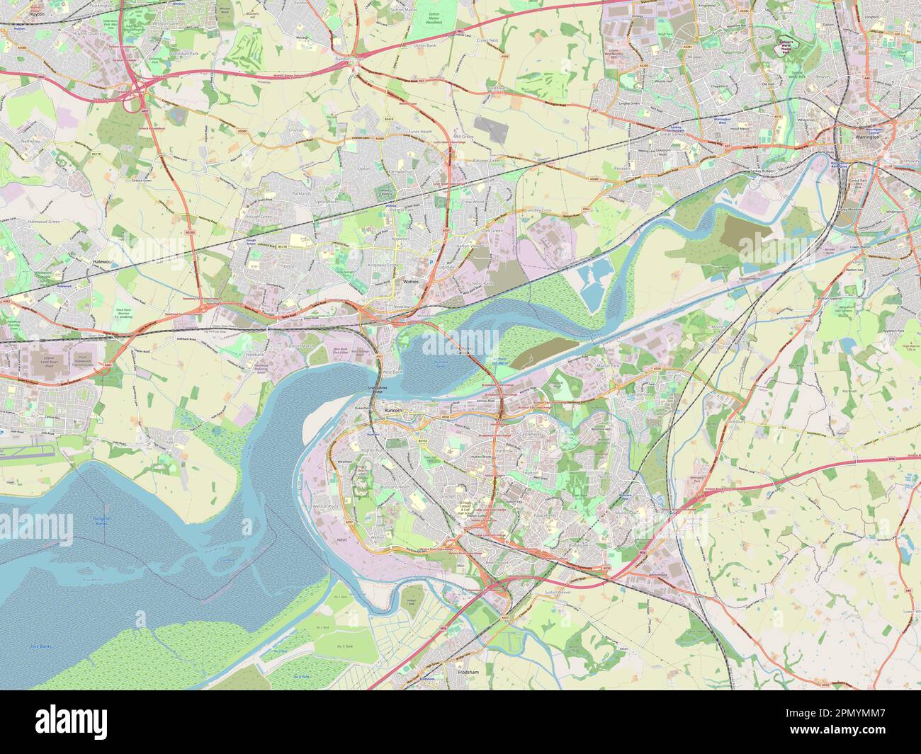 Halton, unitary authority of England - Great Britain. Open Street Map Stock Photohttps://www.alamy.com/image-license-details/?v=1https://www.alamy.com/halton-unitary-authority-of-england-great-britain-open-street-map-image546423479.html
RF2PMYMM7–Halton, unitary authority of England - Great Britain. Open Street Map
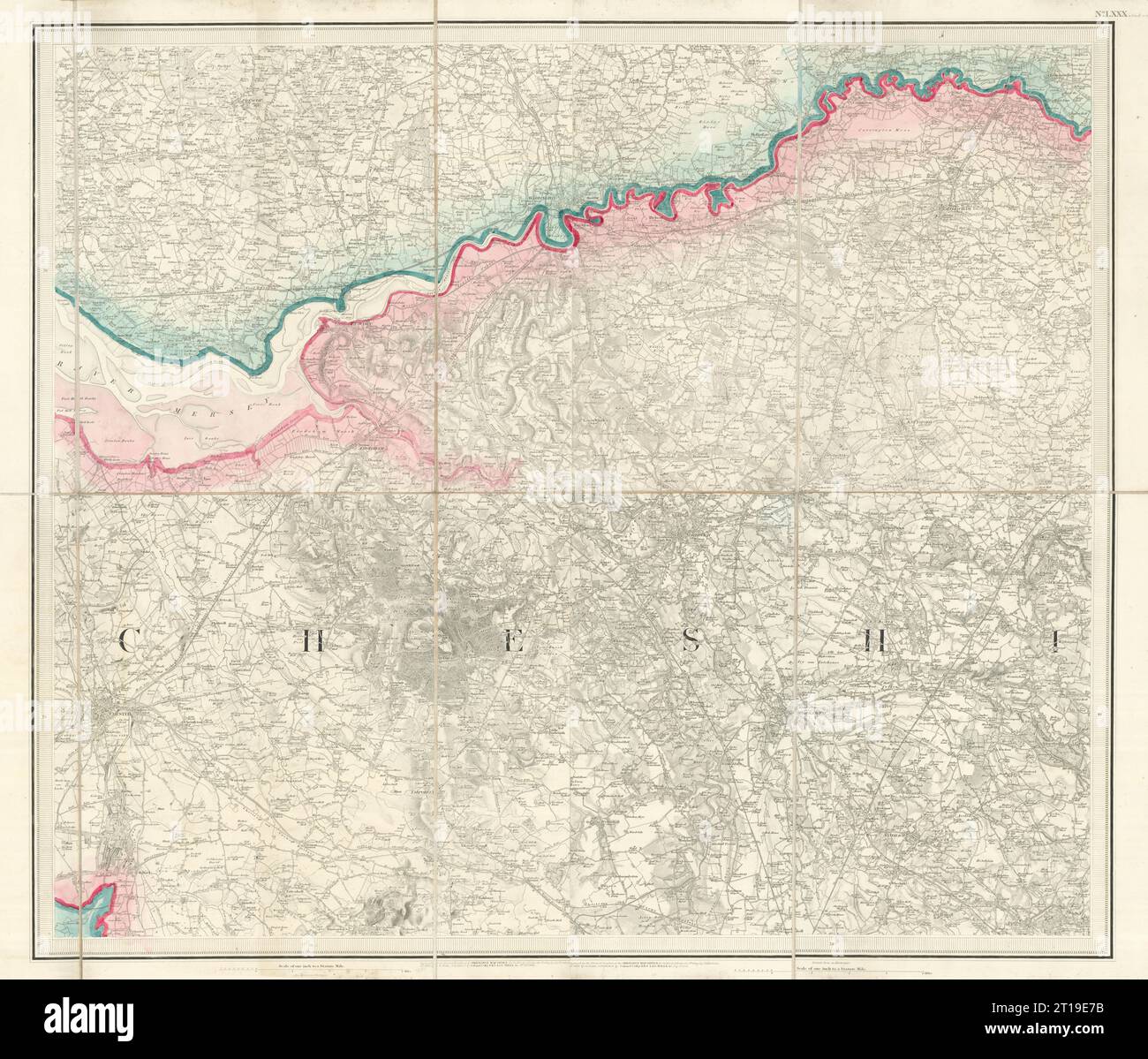 OS #80 Mersey Valley & Cheshire Plain. Warrington Runcorn Chester 1842 old map Stock Photohttps://www.alamy.com/image-license-details/?v=1https://www.alamy.com/os-80-mersey-valley-cheshire-plain-warrington-runcorn-chester-1842-old-map-image568765551.html
RF2T19E7B–OS #80 Mersey Valley & Cheshire Plain. Warrington Runcorn Chester 1842 old map
![History of Runcorn; with an account of the ancient village of Weston ... Drawings by H. Fitton. [Reprinted from the “Runcorn Guardian.”] Image taken from page 95 of 'History of Runcorn; with Stock Photo History of Runcorn; with an account of the ancient village of Weston ... Drawings by H. Fitton. [Reprinted from the “Runcorn Guardian.”] Image taken from page 95 of 'History of Runcorn; with Stock Photo](https://c8.alamy.com/comp/HFKM8A/history-of-runcorn-with-an-account-of-the-ancient-village-of-weston-HFKM8A.jpg) History of Runcorn; with an account of the ancient village of Weston ... Drawings by H. Fitton. [Reprinted from the “Runcorn Guardian.”] Image taken from page 95 of 'History of Runcorn; with Stock Photohttps://www.alamy.com/image-license-details/?v=1https://www.alamy.com/stock-photo-history-of-runcorn-with-an-account-of-the-ancient-village-of-weston-130125418.html
History of Runcorn; with an account of the ancient village of Weston ... Drawings by H. Fitton. [Reprinted from the “Runcorn Guardian.”] Image taken from page 95 of 'History of Runcorn; with Stock Photohttps://www.alamy.com/image-license-details/?v=1https://www.alamy.com/stock-photo-history-of-runcorn-with-an-account-of-the-ancient-village-of-weston-130125418.htmlRMHFKM8A–History of Runcorn; with an account of the ancient village of Weston ... Drawings by H. Fitton. [Reprinted from the “Runcorn Guardian.”] Image taken from page 95 of 'History of Runcorn; with
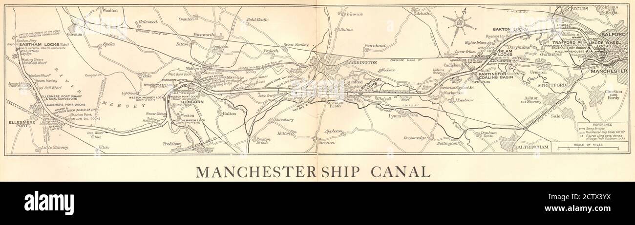 Manchester Ship Canal. Mersey - Runcorn - Warrington. GEOGRAPHIA 1935 old map Stock Photohttps://www.alamy.com/image-license-details/?v=1https://www.alamy.com/manchester-ship-canal-mersey-runcorn-warrington-geographia-1935-old-map-image376743358.html
RF2CTX3YX–Manchester Ship Canal. Mersey - Runcorn - Warrington. GEOGRAPHIA 1935 old map
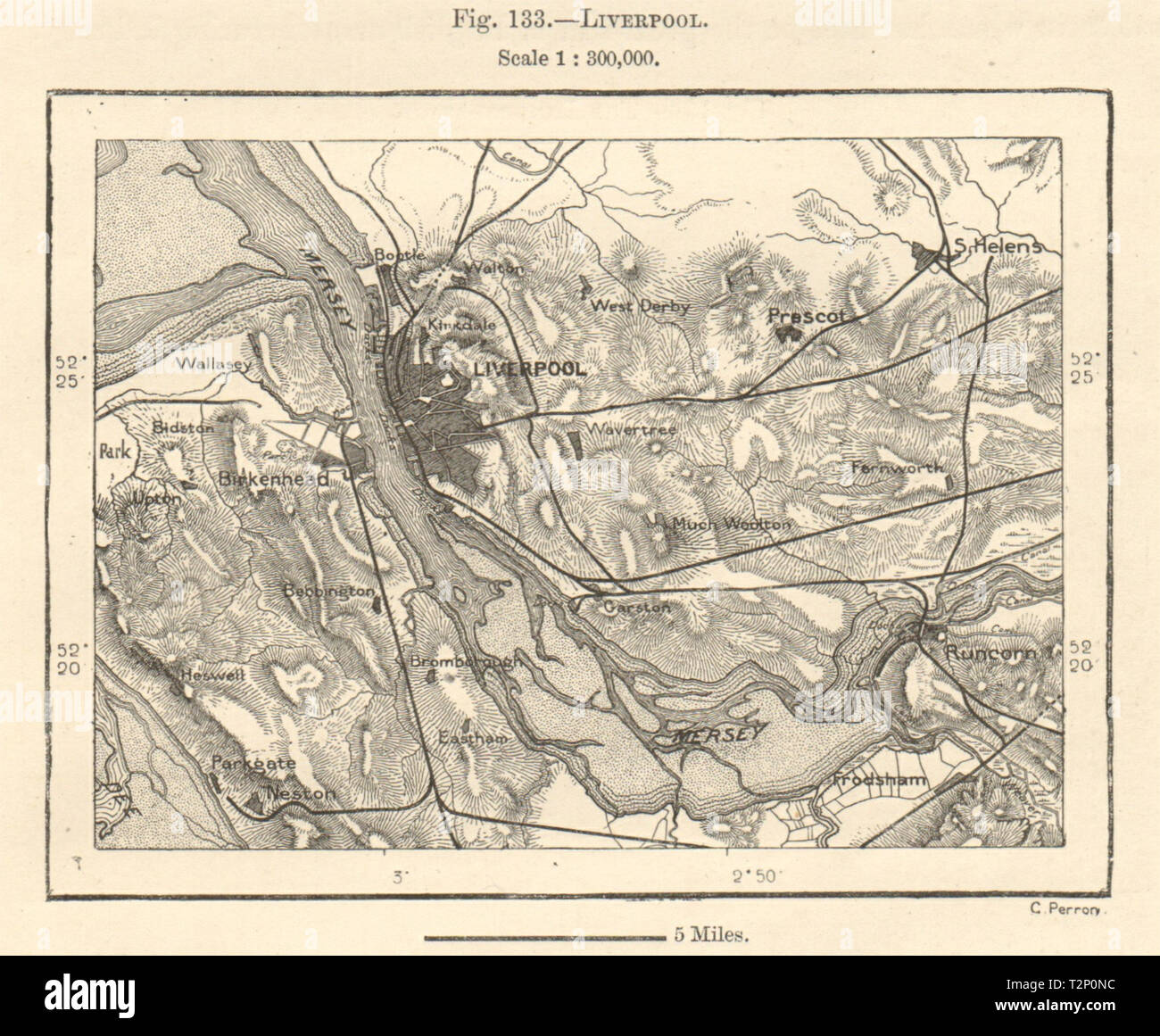 Liverpool. Merseyside & environs. Birkenhead Runcorn St helens. Sketch map 1885 Stock Photohttps://www.alamy.com/image-license-details/?v=1https://www.alamy.com/liverpool-merseyside-environs-birkenhead-runcorn-st-helens-sketch-map-1885-image242658008.html
RFT2P0NC–Liverpool. Merseyside & environs. Birkenhead Runcorn St helens. Sketch map 1885
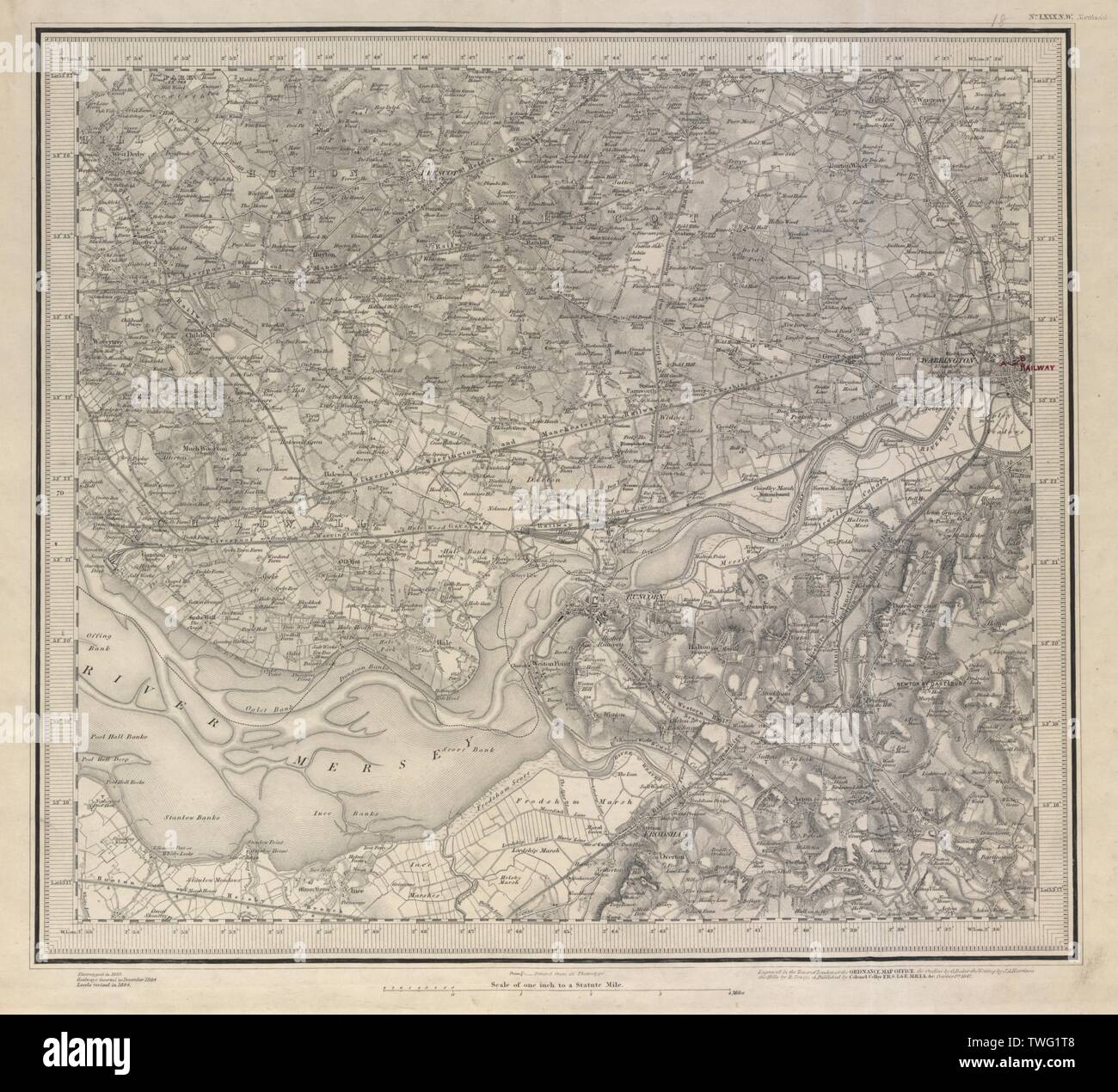 Warrington Runcorn Mersey Prescot Frodsham Widnes ORDNANCE SURVEY #80NW 1884 map Stock Photohttps://www.alamy.com/image-license-details/?v=1https://www.alamy.com/warrington-runcorn-mersey-prescot-frodsham-widnes-ordnance-survey-80nw-1884-map-image256664248.html
RFTWG1T8–Warrington Runcorn Mersey Prescot Frodsham Widnes ORDNANCE SURVEY #80NW 1884 map
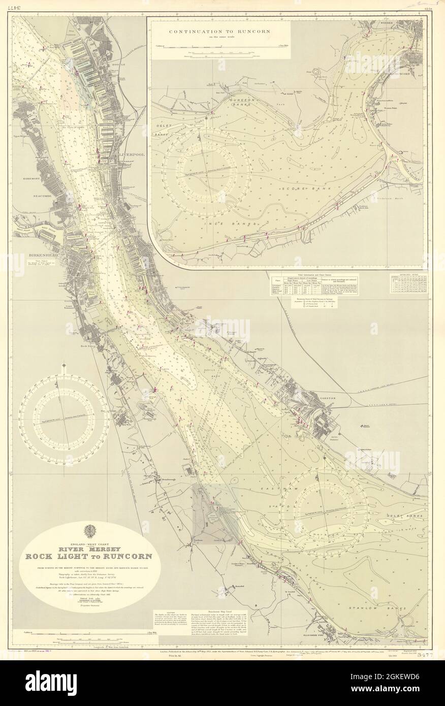 River Merseyside. Liverpool Birkenhead. ADMIRALTY sea chart 1912 (1955) map Stock Photohttps://www.alamy.com/image-license-details/?v=1https://www.alamy.com/river-merseyside-liverpool-birkenhead-admiralty-sea-chart-1912-1955-map-image442264962.html
RF2GKEWD6–River Merseyside. Liverpool Birkenhead. ADMIRALTY sea chart 1912 (1955) map
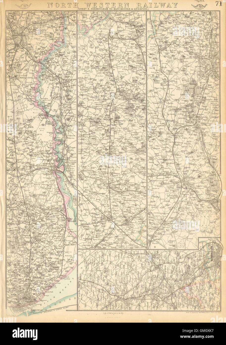 NORTH WESTERN RAILWAY 2. Birmingham to Manchester & Liverpool. WELLER, 1863 map Stock Photohttps://www.alamy.com/image-license-details/?v=1https://www.alamy.com/stock-photo-north-western-railway-2-birmingham-to-manchester-liverpool-weller-115576251.html
RFGM0XK7–NORTH WESTERN RAILWAY 2. Birmingham to Manchester & Liverpool. WELLER, 1863 map
 Runcorn, Brisbane, AU, Australia, Queensland, S 27 35' 31'', N 153 4' 5'', map, Cartascapes Map published in 2024. Explore Cartascapes, a map revealing Earth's diverse landscapes, cultures, and ecosystems. Journey through time and space, discovering the interconnectedness of our planet's past, present, and future. Stock Photohttps://www.alamy.com/image-license-details/?v=1https://www.alamy.com/runcorn-brisbane-au-australia-queensland-s-27-35-31-n-153-4-5-map-cartascapes-map-published-in-2024-explore-cartascapes-a-map-revealing-earths-diverse-landscapes-cultures-and-ecosystems-journey-through-time-and-space-discovering-the-interconnectedness-of-our-planets-past-present-and-future-image625563647.html
RM2Y9MTPR–Runcorn, Brisbane, AU, Australia, Queensland, S 27 35' 31'', N 153 4' 5'', map, Cartascapes Map published in 2024. Explore Cartascapes, a map revealing Earth's diverse landscapes, cultures, and ecosystems. Journey through time and space, discovering the interconnectedness of our planet's past, present, and future.
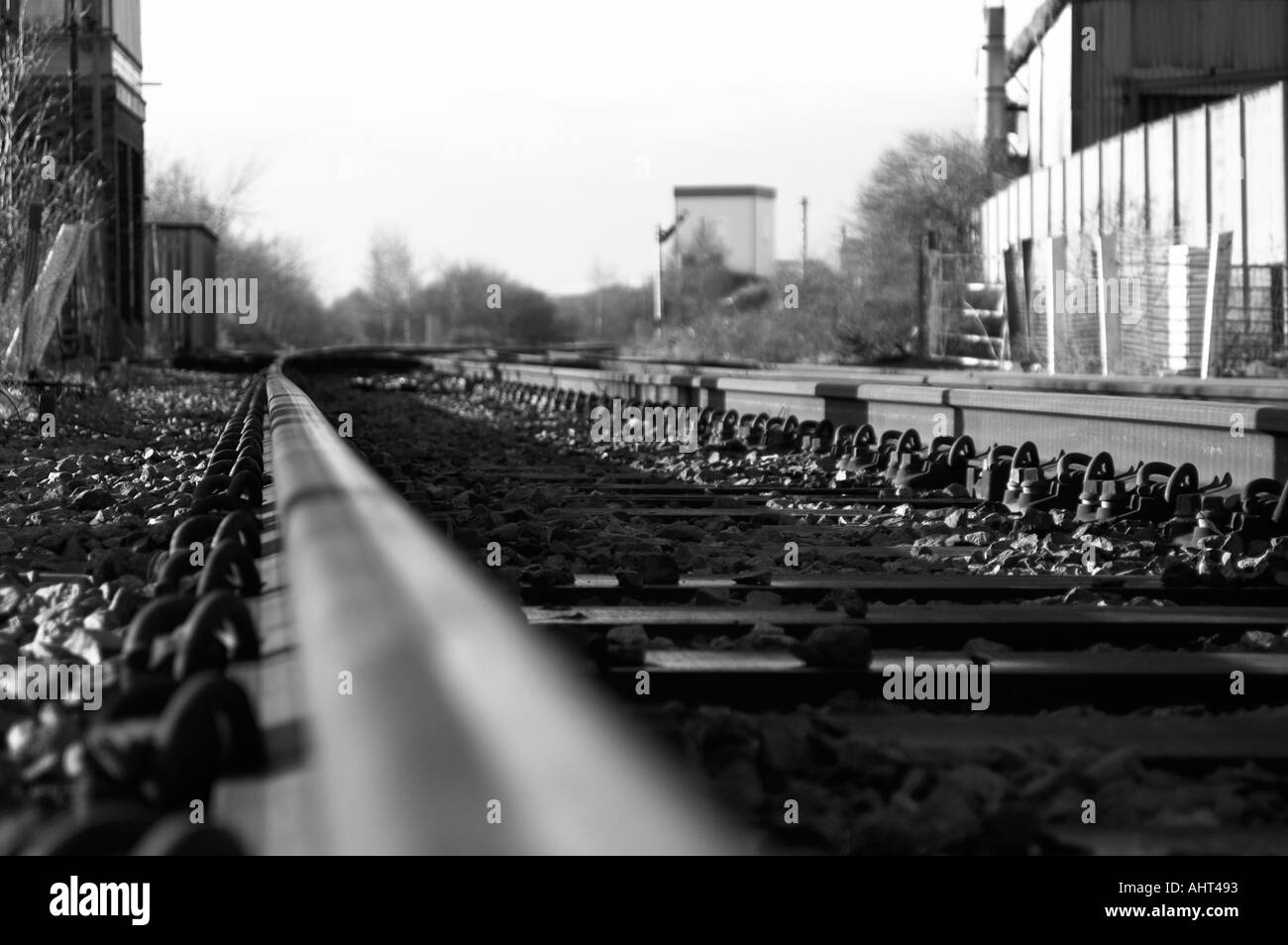 Mono industrial rail tracks Stock Photohttps://www.alamy.com/image-license-details/?v=1https://www.alamy.com/mono-industrial-rail-tracks-image2704530.html
RMAHT493–Mono industrial rail tracks
 Runcorn soapworks Stock Photohttps://www.alamy.com/image-license-details/?v=1https://www.alamy.com/stock-photo-runcorn-soapworks-140522062.html
RMJ4H992–Runcorn soapworks
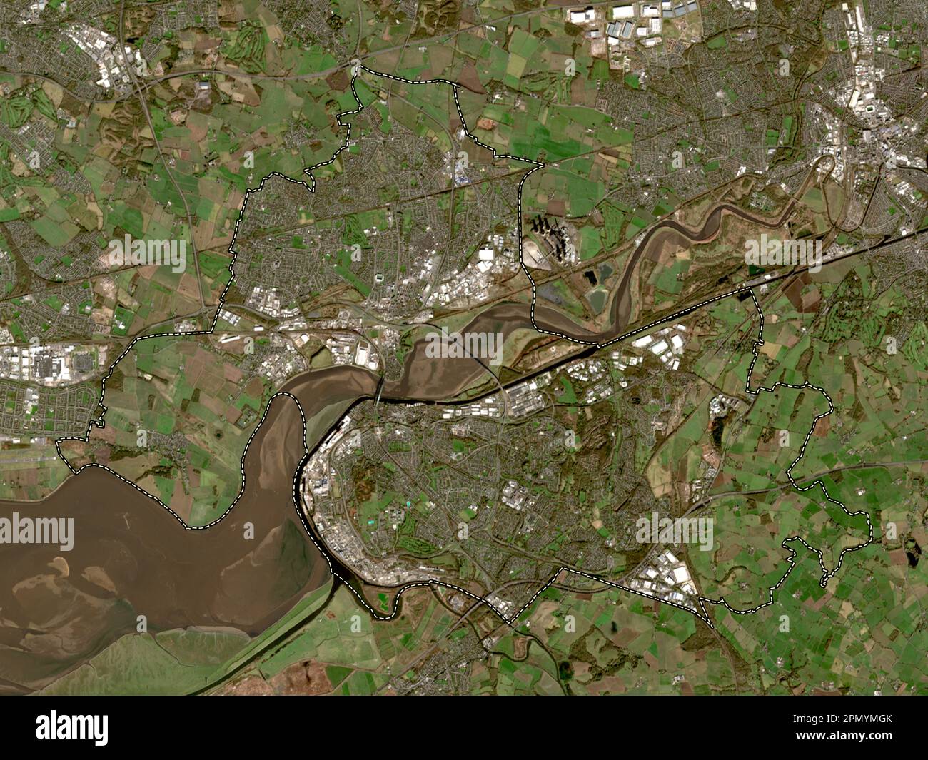 Halton, unitary authority of England - Great Britain. Low resolution satellite map Stock Photohttps://www.alamy.com/image-license-details/?v=1https://www.alamy.com/halton-unitary-authority-of-england-great-britain-low-resolution-satellite-map-image546423379.html
RF2PMYMGK–Halton, unitary authority of England - Great Britain. Low resolution satellite map
![History of Runcorn; with an account of the ancient village of Weston ... Drawings by H. Fitton. [Reprinted from the “Runcorn Guardian.”] Image taken from page 156 of 'History of Runcorn; with Stock Photo History of Runcorn; with an account of the ancient village of Weston ... Drawings by H. Fitton. [Reprinted from the “Runcorn Guardian.”] Image taken from page 156 of 'History of Runcorn; with Stock Photo](https://c8.alamy.com/comp/HFHDYA/history-of-runcorn-with-an-account-of-the-ancient-village-of-weston-HFHDYA.jpg) History of Runcorn; with an account of the ancient village of Weston ... Drawings by H. Fitton. [Reprinted from the “Runcorn Guardian.”] Image taken from page 156 of 'History of Runcorn; with Stock Photohttps://www.alamy.com/image-license-details/?v=1https://www.alamy.com/stock-photo-history-of-runcorn-with-an-account-of-the-ancient-village-of-weston-130076558.html
History of Runcorn; with an account of the ancient village of Weston ... Drawings by H. Fitton. [Reprinted from the “Runcorn Guardian.”] Image taken from page 156 of 'History of Runcorn; with Stock Photohttps://www.alamy.com/image-license-details/?v=1https://www.alamy.com/stock-photo-history-of-runcorn-with-an-account-of-the-ancient-village-of-weston-130076558.htmlRMHFHDYA–History of Runcorn; with an account of the ancient village of Weston ... Drawings by H. Fitton. [Reprinted from the “Runcorn Guardian.”] Image taken from page 156 of 'History of Runcorn; with
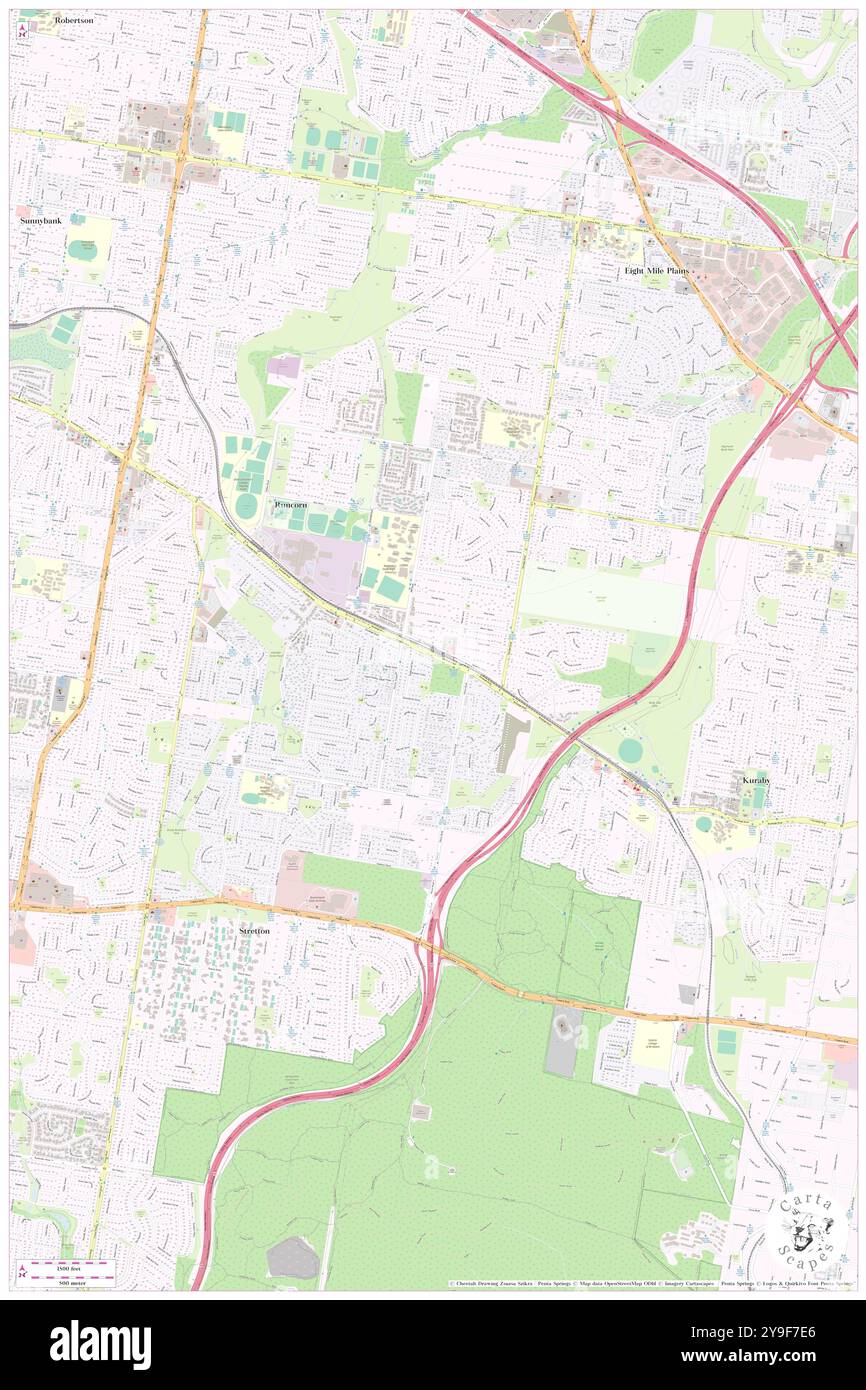 Runcorn, Brisbane, AU, Australia, Queensland, S 27 35' 31'', N 153 4' 5'', map, Cartascapes Map published in 2024. Explore Cartascapes, a map revealing Earth's diverse landscapes, cultures, and ecosystems. Journey through time and space, discovering the interconnectedness of our planet's past, present, and future. Stock Photohttps://www.alamy.com/image-license-details/?v=1https://www.alamy.com/runcorn-brisbane-au-australia-queensland-s-27-35-31-n-153-4-5-map-cartascapes-map-published-in-2024-explore-cartascapes-a-map-revealing-earths-diverse-landscapes-cultures-and-ecosystems-journey-through-time-and-space-discovering-the-interconnectedness-of-our-planets-past-present-and-future-image625440318.html
RM2Y9F7E6–Runcorn, Brisbane, AU, Australia, Queensland, S 27 35' 31'', N 153 4' 5'', map, Cartascapes Map published in 2024. Explore Cartascapes, a map revealing Earth's diverse landscapes, cultures, and ecosystems. Journey through time and space, discovering the interconnectedness of our planet's past, present, and future.
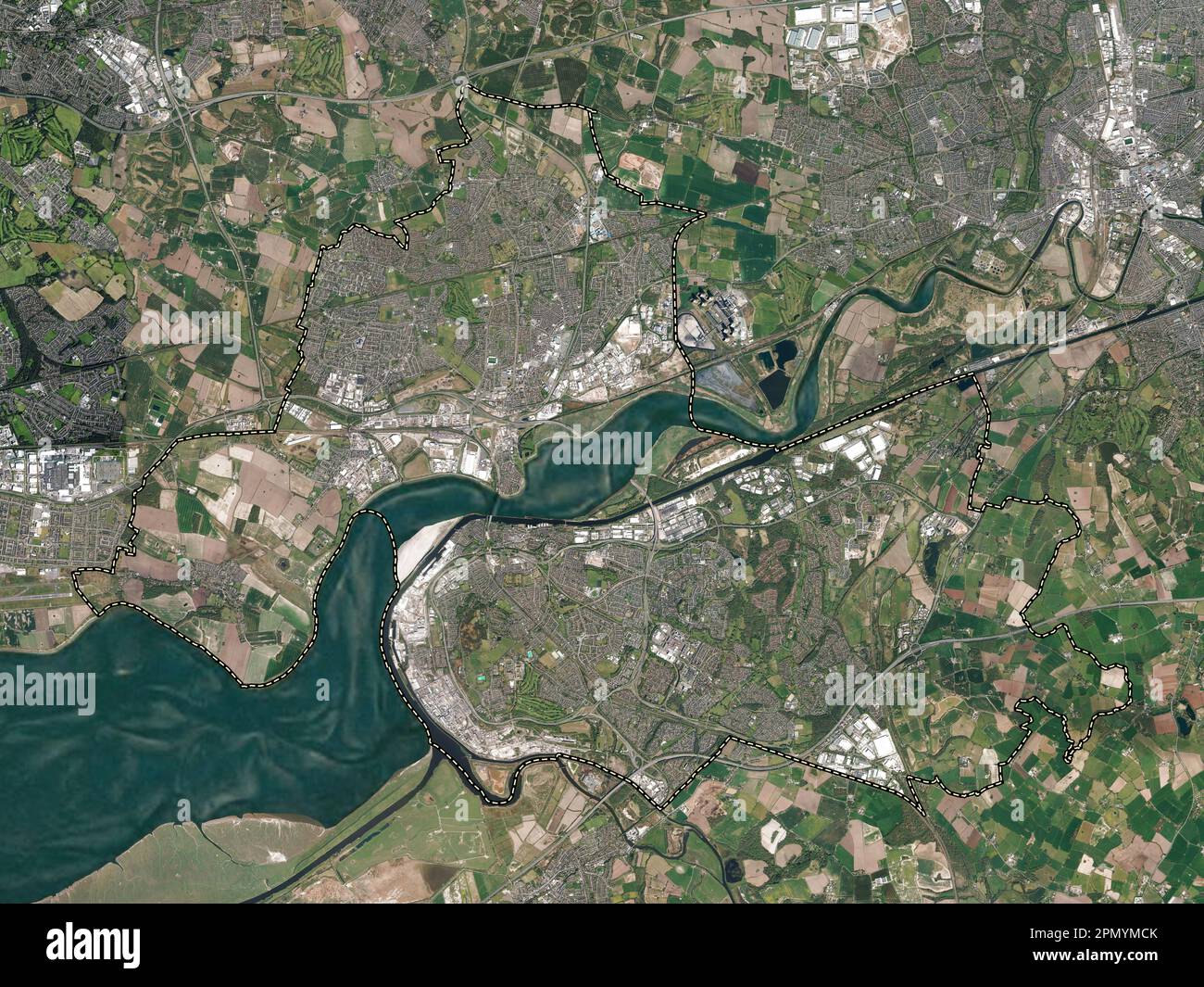 Halton, unitary authority of England - Great Britain. High resolution satellite map Stock Photohttps://www.alamy.com/image-license-details/?v=1https://www.alamy.com/halton-unitary-authority-of-england-great-britain-high-resolution-satellite-map-image546423267.html
RF2PMYMCK–Halton, unitary authority of England - Great Britain. High resolution satellite map
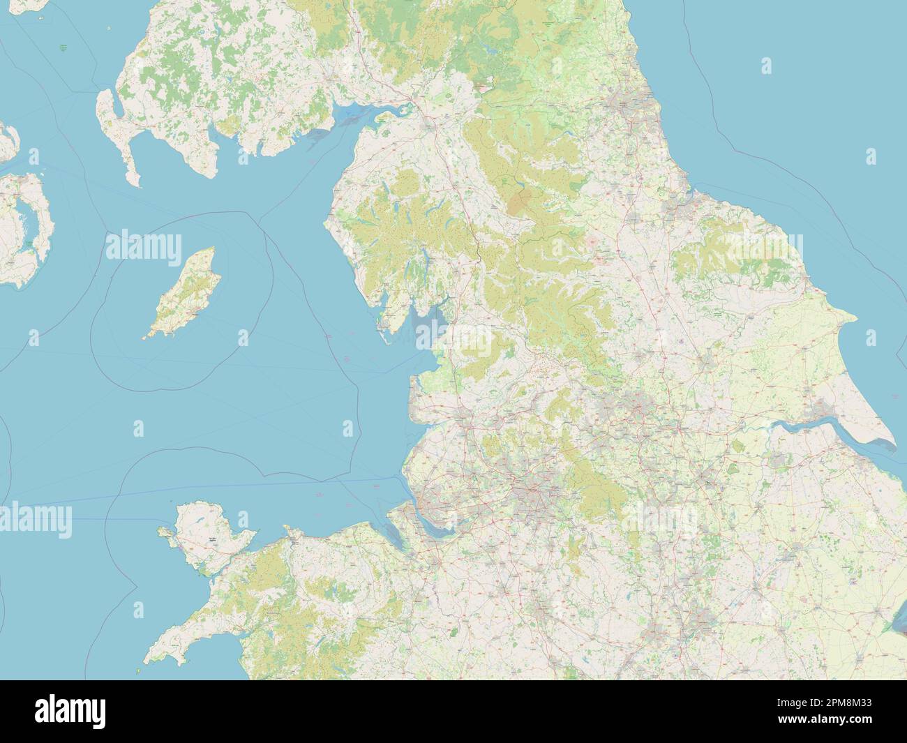 North West, region of United Kingdom. Open Street Map Stock Photohttps://www.alamy.com/image-license-details/?v=1https://www.alamy.com/north-west-region-of-united-kingdom-open-street-map-image546005911.html
RF2PM8M33–North West, region of United Kingdom. Open Street Map
![History of Runcorn; with an account of the ancient village of Weston ... Drawings by H. Fitton. [Reprinted from the “Runcorn Guardian.”] Image taken from page 226 of 'History of Runcorn; with Stock Photo History of Runcorn; with an account of the ancient village of Weston ... Drawings by H. Fitton. [Reprinted from the “Runcorn Guardian.”] Image taken from page 226 of 'History of Runcorn; with Stock Photo](https://c8.alamy.com/comp/HFJTHE/history-of-runcorn-with-an-account-of-the-ancient-village-of-weston-HFJTHE.jpg) History of Runcorn; with an account of the ancient village of Weston ... Drawings by H. Fitton. [Reprinted from the “Runcorn Guardian.”] Image taken from page 226 of 'History of Runcorn; with Stock Photohttps://www.alamy.com/image-license-details/?v=1https://www.alamy.com/stock-photo-history-of-runcorn-with-an-account-of-the-ancient-village-of-weston-130106858.html
History of Runcorn; with an account of the ancient village of Weston ... Drawings by H. Fitton. [Reprinted from the “Runcorn Guardian.”] Image taken from page 226 of 'History of Runcorn; with Stock Photohttps://www.alamy.com/image-license-details/?v=1https://www.alamy.com/stock-photo-history-of-runcorn-with-an-account-of-the-ancient-village-of-weston-130106858.htmlRMHFJTHE–History of Runcorn; with an account of the ancient village of Weston ... Drawings by H. Fitton. [Reprinted from the “Runcorn Guardian.”] Image taken from page 226 of 'History of Runcorn; with
 Runcorn, Brisbane, AU, Australia, Queensland, S 27 35' 51'', N 153 4' 37'', map, Cartascapes Map published in 2024. Explore Cartascapes, a map revealing Earth's diverse landscapes, cultures, and ecosystems. Journey through time and space, discovering the interconnectedness of our planet's past, present, and future. Stock Photohttps://www.alamy.com/image-license-details/?v=1https://www.alamy.com/runcorn-brisbane-au-australia-queensland-s-27-35-51-n-153-4-37-map-cartascapes-map-published-in-2024-explore-cartascapes-a-map-revealing-earths-diverse-landscapes-cultures-and-ecosystems-journey-through-time-and-space-discovering-the-interconnectedness-of-our-planets-past-present-and-future-image625497994.html
RM2Y9HW22–Runcorn, Brisbane, AU, Australia, Queensland, S 27 35' 51'', N 153 4' 37'', map, Cartascapes Map published in 2024. Explore Cartascapes, a map revealing Earth's diverse landscapes, cultures, and ecosystems. Journey through time and space, discovering the interconnectedness of our planet's past, present, and future.
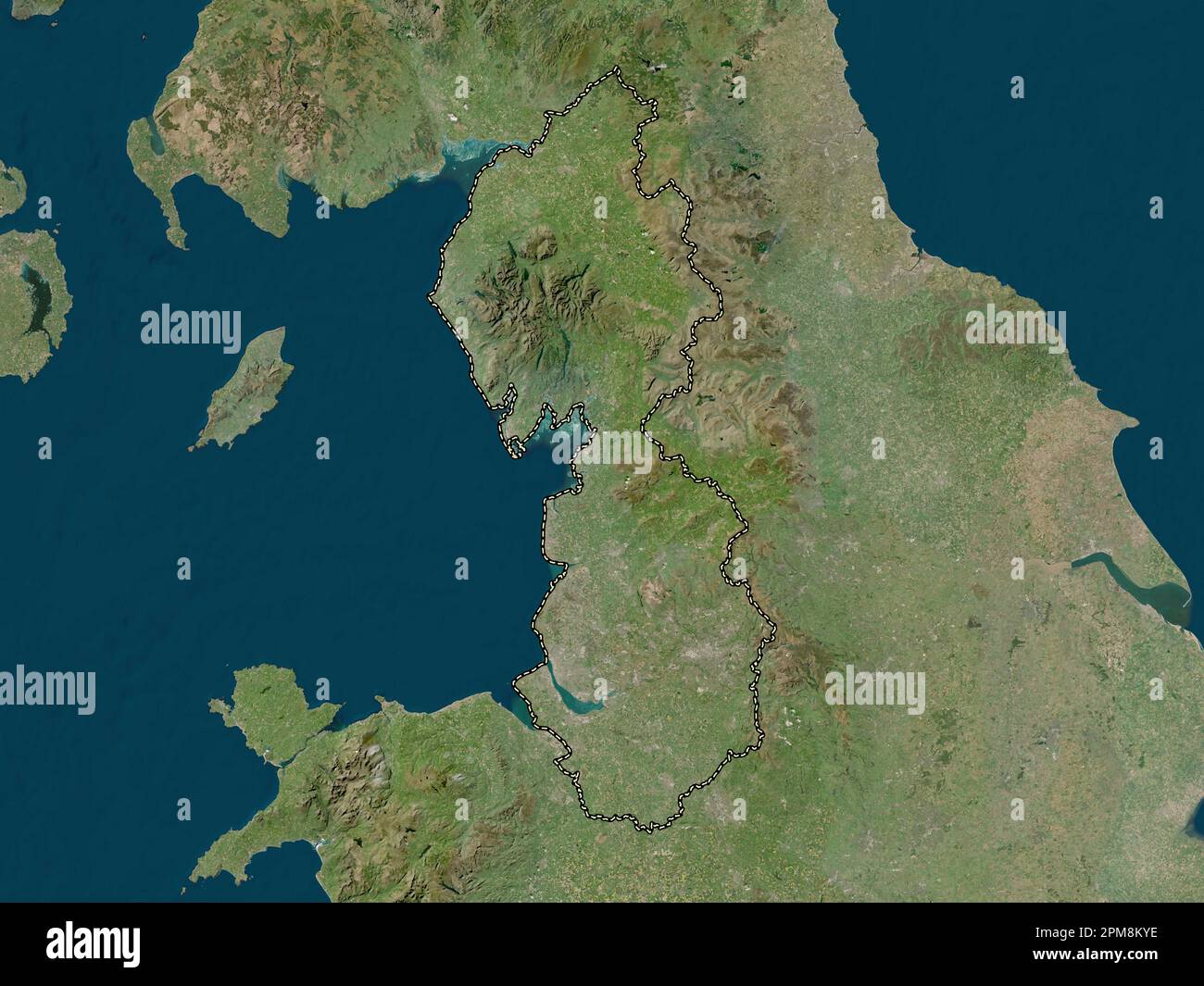 North West, region of United Kingdom. Low resolution satellite map Stock Photohttps://www.alamy.com/image-license-details/?v=1https://www.alamy.com/north-west-region-of-united-kingdom-low-resolution-satellite-map-image546005810.html
RF2PM8KYE–North West, region of United Kingdom. Low resolution satellite map
![History of Runcorn; with an account of the ancient village of Weston ... Drawings by H. Fitton. [Reprinted from the “Runcorn Guardian.”] Image taken from page 238 of 'History of Runcorn; with Stock Photo History of Runcorn; with an account of the ancient village of Weston ... Drawings by H. Fitton. [Reprinted from the “Runcorn Guardian.”] Image taken from page 238 of 'History of Runcorn; with Stock Photo](https://c8.alamy.com/comp/HFK0JH/history-of-runcorn-with-an-account-of-the-ancient-village-of-weston-HFK0JH.jpg) History of Runcorn; with an account of the ancient village of Weston ... Drawings by H. Fitton. [Reprinted from the “Runcorn Guardian.”] Image taken from page 238 of 'History of Runcorn; with Stock Photohttps://www.alamy.com/image-license-details/?v=1https://www.alamy.com/stock-photo-history-of-runcorn-with-an-account-of-the-ancient-village-of-weston-130110025.html
History of Runcorn; with an account of the ancient village of Weston ... Drawings by H. Fitton. [Reprinted from the “Runcorn Guardian.”] Image taken from page 238 of 'History of Runcorn; with Stock Photohttps://www.alamy.com/image-license-details/?v=1https://www.alamy.com/stock-photo-history-of-runcorn-with-an-account-of-the-ancient-village-of-weston-130110025.htmlRMHFK0JH–History of Runcorn; with an account of the ancient village of Weston ... Drawings by H. Fitton. [Reprinted from the “Runcorn Guardian.”] Image taken from page 238 of 'History of Runcorn; with
 Runcorn Railway Station, Borough of Halton, GB, United Kingdom, England, N 53 20' 20'', S 2 44' 20'', map, Cartascapes Map published in 2024. Explore Cartascapes, a map revealing Earth's diverse landscapes, cultures, and ecosystems. Journey through time and space, discovering the interconnectedness of our planet's past, present, and future. Stock Photohttps://www.alamy.com/image-license-details/?v=1https://www.alamy.com/runcorn-railway-station-borough-of-halton-gb-united-kingdom-england-n-53-20-20-s-2-44-20-map-cartascapes-map-published-in-2024-explore-cartascapes-a-map-revealing-earths-diverse-landscapes-cultures-and-ecosystems-journey-through-time-and-space-discovering-the-interconnectedness-of-our-planets-past-present-and-future-image604223750.html
RM2X30NFJ–Runcorn Railway Station, Borough of Halton, GB, United Kingdom, England, N 53 20' 20'', S 2 44' 20'', map, Cartascapes Map published in 2024. Explore Cartascapes, a map revealing Earth's diverse landscapes, cultures, and ecosystems. Journey through time and space, discovering the interconnectedness of our planet's past, present, and future.
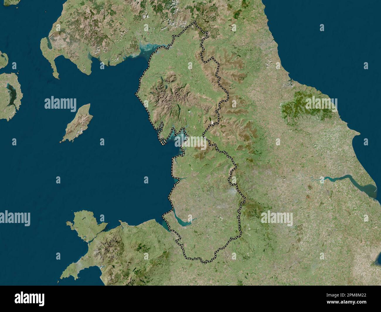 North West, region of United Kingdom. High resolution satellite map Stock Photohttps://www.alamy.com/image-license-details/?v=1https://www.alamy.com/north-west-region-of-united-kingdom-high-resolution-satellite-map-image546005882.html
RF2PM8M22–North West, region of United Kingdom. High resolution satellite map
![History of Runcorn; with an account of the ancient village of Weston ... Drawings by H. Fitton. [Reprinted from the “Runcorn Guardian.”] Image taken from page 286 of 'History of Runcorn; with Stock Photo History of Runcorn; with an account of the ancient village of Weston ... Drawings by H. Fitton. [Reprinted from the “Runcorn Guardian.”] Image taken from page 286 of 'History of Runcorn; with Stock Photo](https://c8.alamy.com/comp/HFM05A/history-of-runcorn-with-an-account-of-the-ancient-village-of-weston-HFM05A.jpg) History of Runcorn; with an account of the ancient village of Weston ... Drawings by H. Fitton. [Reprinted from the “Runcorn Guardian.”] Image taken from page 286 of 'History of Runcorn; with Stock Photohttps://www.alamy.com/image-license-details/?v=1https://www.alamy.com/stock-photo-history-of-runcorn-with-an-account-of-the-ancient-village-of-weston-130131606.html
History of Runcorn; with an account of the ancient village of Weston ... Drawings by H. Fitton. [Reprinted from the “Runcorn Guardian.”] Image taken from page 286 of 'History of Runcorn; with Stock Photohttps://www.alamy.com/image-license-details/?v=1https://www.alamy.com/stock-photo-history-of-runcorn-with-an-account-of-the-ancient-village-of-weston-130131606.htmlRMHFM05A–History of Runcorn; with an account of the ancient village of Weston ... Drawings by H. Fitton. [Reprinted from the “Runcorn Guardian.”] Image taken from page 286 of 'History of Runcorn; with
 Holiday Inn Runcorn, Borough of Halton, GB, United Kingdom, England, N 53 18' 41'', S 2 41' 38'', map, Cartascapes Map published in 2024. Explore Cartascapes, a map revealing Earth's diverse landscapes, cultures, and ecosystems. Journey through time and space, discovering the interconnectedness of our planet's past, present, and future. Stock Photohttps://www.alamy.com/image-license-details/?v=1https://www.alamy.com/holiday-inn-runcorn-borough-of-halton-gb-united-kingdom-england-n-53-18-41-s-2-41-38-map-cartascapes-map-published-in-2024-explore-cartascapes-a-map-revealing-earths-diverse-landscapes-cultures-and-ecosystems-journey-through-time-and-space-discovering-the-interconnectedness-of-our-planets-past-present-and-future-image604203239.html
RM2X2YRB3–Holiday Inn Runcorn, Borough of Halton, GB, United Kingdom, England, N 53 18' 41'', S 2 41' 38'', map, Cartascapes Map published in 2024. Explore Cartascapes, a map revealing Earth's diverse landscapes, cultures, and ecosystems. Journey through time and space, discovering the interconnectedness of our planet's past, present, and future.
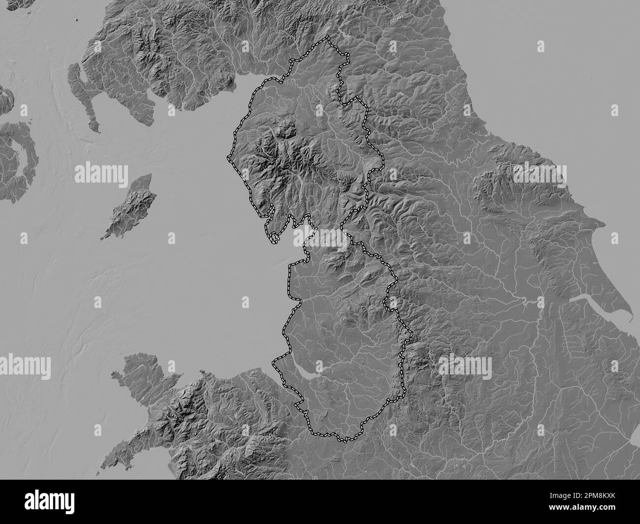 North West, region of United Kingdom. Bilevel elevation map with lakes and rivers Stock Photohttps://www.alamy.com/image-license-details/?v=1https://www.alamy.com/north-west-region-of-united-kingdom-bilevel-elevation-map-with-lakes-and-rivers-image546005787.html
RF2PM8KXK–North West, region of United Kingdom. Bilevel elevation map with lakes and rivers
 Runcorn East Railway Station, Borough of Halton, GB, United Kingdom, England, N 53 19' 37'', S 2 39' 54'', map, Cartascapes Map published in 2024. Explore Cartascapes, a map revealing Earth's diverse landscapes, cultures, and ecosystems. Journey through time and space, discovering the interconnectedness of our planet's past, present, and future. Stock Photohttps://www.alamy.com/image-license-details/?v=1https://www.alamy.com/runcorn-east-railway-station-borough-of-halton-gb-united-kingdom-england-n-53-19-37-s-2-39-54-map-cartascapes-map-published-in-2024-explore-cartascapes-a-map-revealing-earths-diverse-landscapes-cultures-and-ecosystems-journey-through-time-and-space-discovering-the-interconnectedness-of-our-planets-past-present-and-future-image604223656.html
RM2X30NC8–Runcorn East Railway Station, Borough of Halton, GB, United Kingdom, England, N 53 19' 37'', S 2 39' 54'', map, Cartascapes Map published in 2024. Explore Cartascapes, a map revealing Earth's diverse landscapes, cultures, and ecosystems. Journey through time and space, discovering the interconnectedness of our planet's past, present, and future.
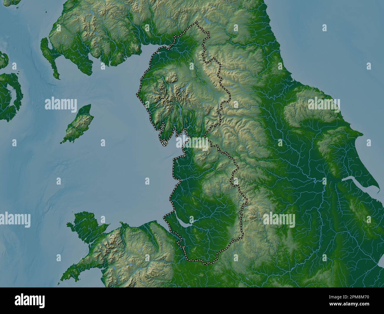 North West, region of United Kingdom. Colored elevation map with lakes and rivers Stock Photohttps://www.alamy.com/image-license-details/?v=1https://www.alamy.com/north-west-region-of-united-kingdom-colored-elevation-map-with-lakes-and-rivers-image546006020.html
RF2PM8M70–North West, region of United Kingdom. Colored elevation map with lakes and rivers
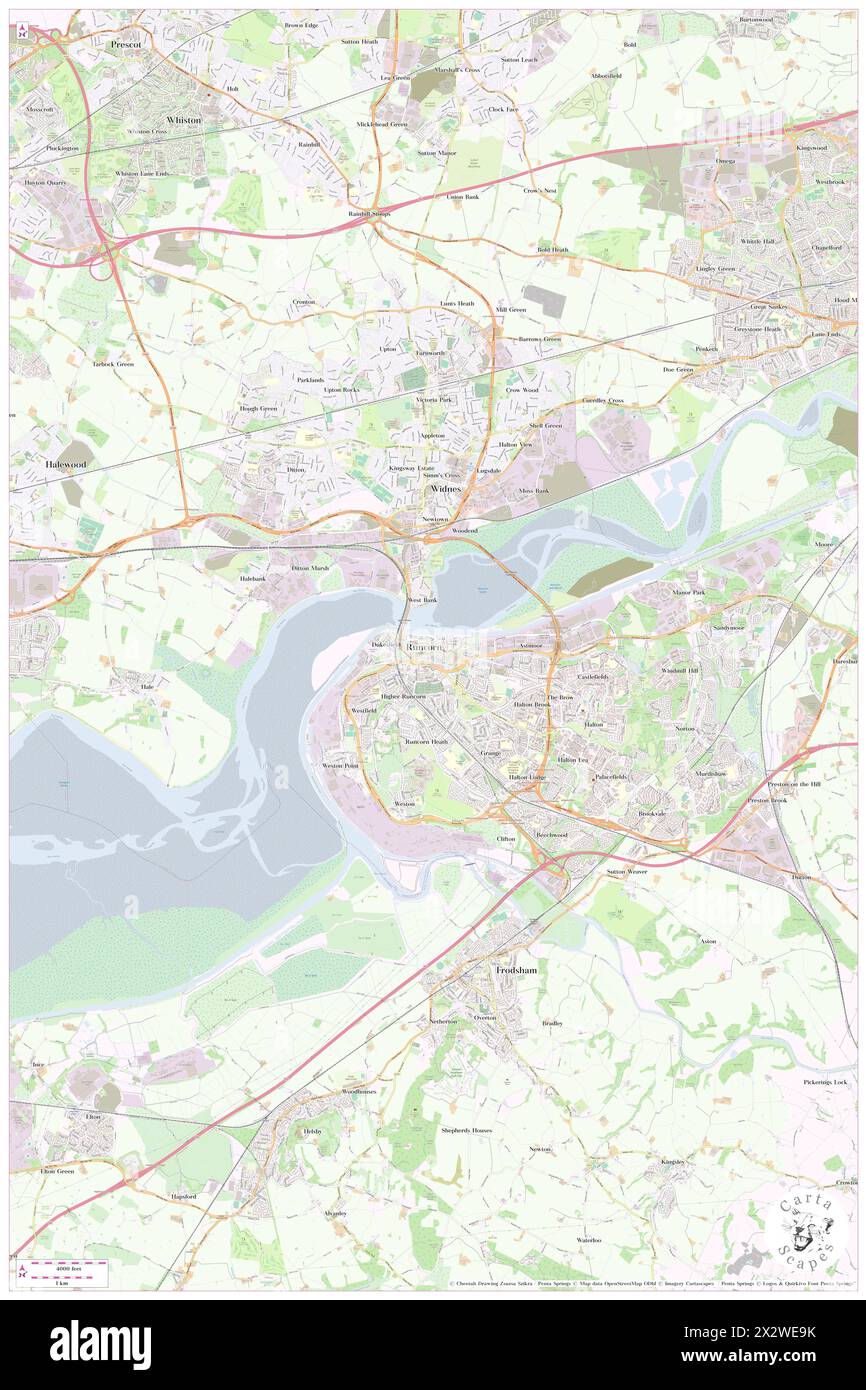 Runcorn, Borough of Halton, GB, United Kingdom, England, N 53 20' 30'', S 2 43' 52'', map, Cartascapes Map published in 2024. Explore Cartascapes, a map revealing Earth's diverse landscapes, cultures, and ecosystems. Journey through time and space, discovering the interconnectedness of our planet's past, present, and future. Stock Photohttps://www.alamy.com/image-license-details/?v=1https://www.alamy.com/runcorn-borough-of-halton-gb-united-kingdom-england-n-53-20-30-s-2-43-52-map-cartascapes-map-published-in-2024-explore-cartascapes-a-map-revealing-earths-diverse-landscapes-cultures-and-ecosystems-journey-through-time-and-space-discovering-the-interconnectedness-of-our-planets-past-present-and-future-image604152239.html
RM2X2WE9K–Runcorn, Borough of Halton, GB, United Kingdom, England, N 53 20' 30'', S 2 43' 52'', map, Cartascapes Map published in 2024. Explore Cartascapes, a map revealing Earth's diverse landscapes, cultures, and ecosystems. Journey through time and space, discovering the interconnectedness of our planet's past, present, and future.
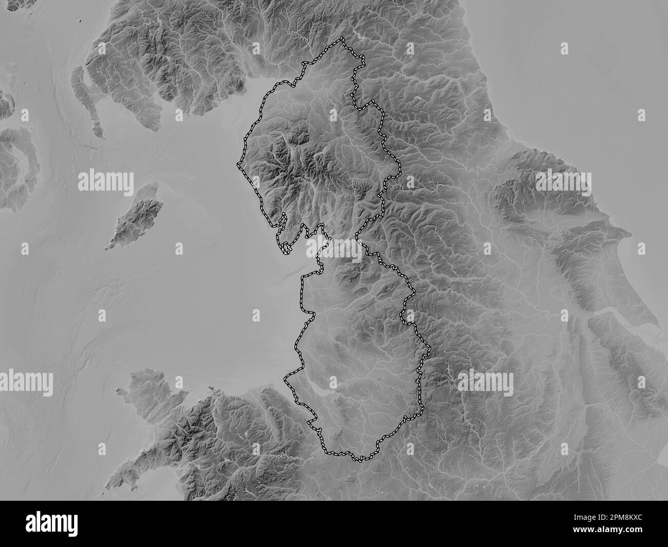 North West, region of United Kingdom. Grayscale elevation map with lakes and rivers Stock Photohttps://www.alamy.com/image-license-details/?v=1https://www.alamy.com/north-west-region-of-united-kingdom-grayscale-elevation-map-with-lakes-and-rivers-image546005780.html
RF2PM8KXC–North West, region of United Kingdom. Grayscale elevation map with lakes and rivers
 Runcorn, Borough of Halton, GB, United Kingdom, England, N 53 20' 30'', S 2 43' 52'', map, Cartascapes Map published in 2024. Explore Cartascapes, a map revealing Earth's diverse landscapes, cultures, and ecosystems. Journey through time and space, discovering the interconnectedness of our planet's past, present, and future. Stock Photohttps://www.alamy.com/image-license-details/?v=1https://www.alamy.com/runcorn-borough-of-halton-gb-united-kingdom-england-n-53-20-30-s-2-43-52-map-cartascapes-map-published-in-2024-explore-cartascapes-a-map-revealing-earths-diverse-landscapes-cultures-and-ecosystems-journey-through-time-and-space-discovering-the-interconnectedness-of-our-planets-past-present-and-future-image604152238.html
RM2X2WE9J–Runcorn, Borough of Halton, GB, United Kingdom, England, N 53 20' 30'', S 2 43' 52'', map, Cartascapes Map published in 2024. Explore Cartascapes, a map revealing Earth's diverse landscapes, cultures, and ecosystems. Journey through time and space, discovering the interconnectedness of our planet's past, present, and future.
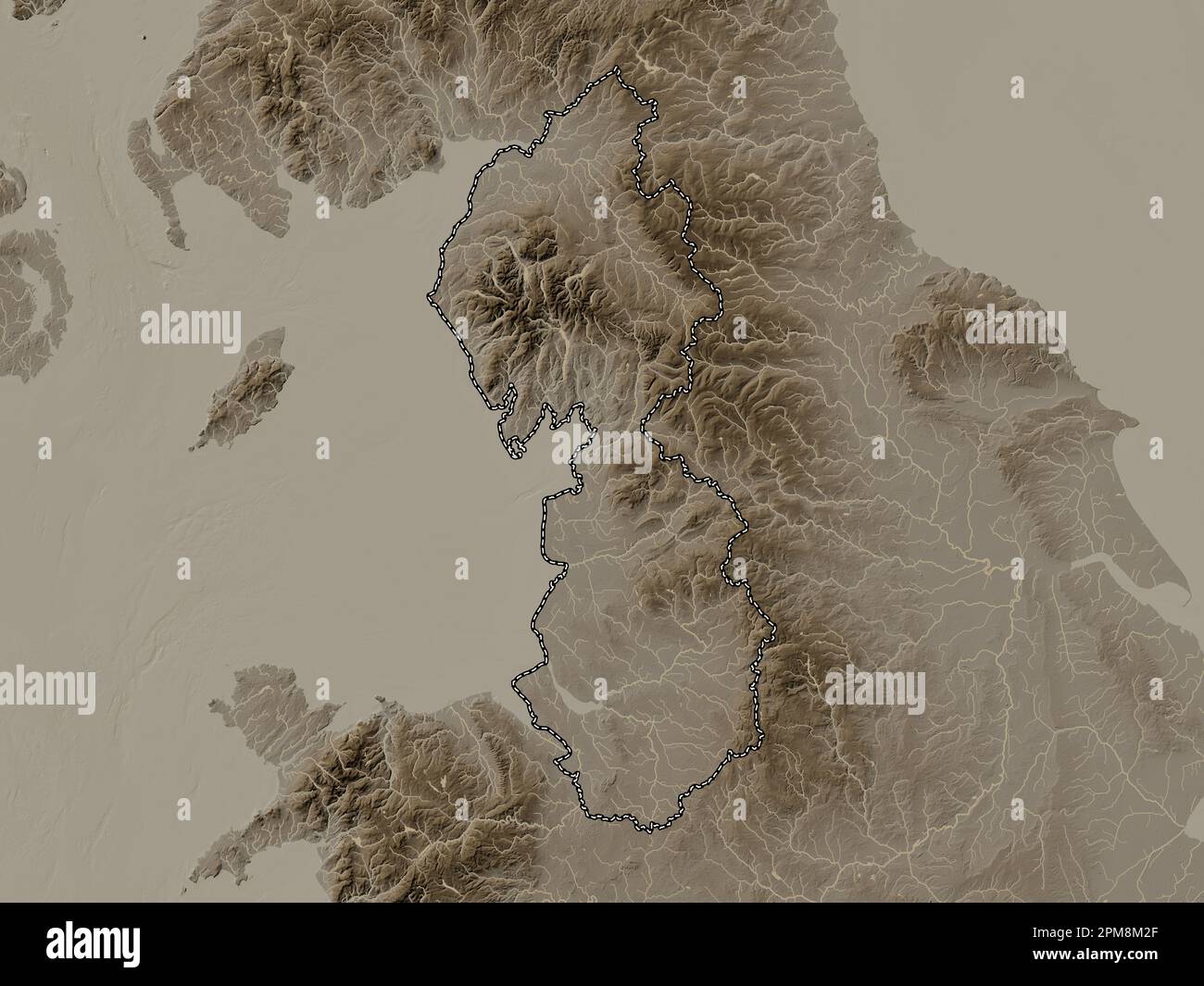 North West, region of United Kingdom. Elevation map colored in sepia tones with lakes and rivers Stock Photohttps://www.alamy.com/image-license-details/?v=1https://www.alamy.com/north-west-region-of-united-kingdom-elevation-map-colored-in-sepia-tones-with-lakes-and-rivers-image546005895.html
RF2PM8M2F–North West, region of United Kingdom. Elevation map colored in sepia tones with lakes and rivers
 Campanile - Runcorn, Borough of Halton, GB, United Kingdom, England, N 53 20' 21'', S 2 44' 14'', map, Cartascapes Map published in 2024. Explore Cartascapes, a map revealing Earth's diverse landscapes, cultures, and ecosystems. Journey through time and space, discovering the interconnectedness of our planet's past, present, and future. Stock Photohttps://www.alamy.com/image-license-details/?v=1https://www.alamy.com/campanile-runcorn-borough-of-halton-gb-united-kingdom-england-n-53-20-21-s-2-44-14-map-cartascapes-map-published-in-2024-explore-cartascapes-a-map-revealing-earths-diverse-landscapes-cultures-and-ecosystems-journey-through-time-and-space-discovering-the-interconnectedness-of-our-planets-past-present-and-future-image604089281.html
RM2X2PJ15–Campanile - Runcorn, Borough of Halton, GB, United Kingdom, England, N 53 20' 21'', S 2 44' 14'', map, Cartascapes Map published in 2024. Explore Cartascapes, a map revealing Earth's diverse landscapes, cultures, and ecosystems. Journey through time and space, discovering the interconnectedness of our planet's past, present, and future.
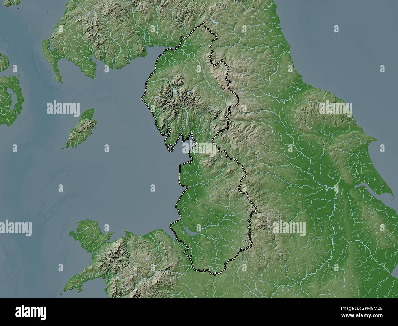 North West, region of United Kingdom. Elevation map colored in wiki style with lakes and rivers Stock Photohttps://www.alamy.com/image-license-details/?v=1https://www.alamy.com/north-west-region-of-united-kingdom-elevation-map-colored-in-wiki-style-with-lakes-and-rivers-image546005891.html
RF2PM8M2B–North West, region of United Kingdom. Elevation map colored in wiki style with lakes and rivers
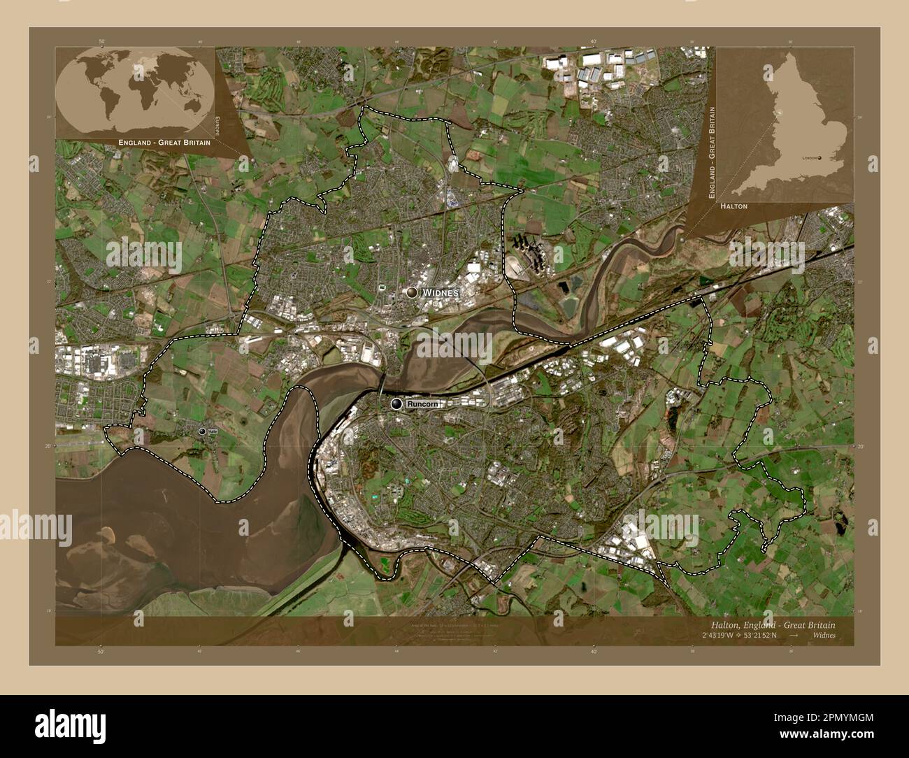 Halton, unitary authority of England - Great Britain. Low resolution satellite map. Locations and names of major cities of the region. Corner auxiliar Stock Photohttps://www.alamy.com/image-license-details/?v=1https://www.alamy.com/halton-unitary-authority-of-england-great-britain-low-resolution-satellite-map-locations-and-names-of-major-cities-of-the-region-corner-auxiliar-image546423380.html
RF2PMYMGM–Halton, unitary authority of England - Great Britain. Low resolution satellite map. Locations and names of major cities of the region. Corner auxiliar
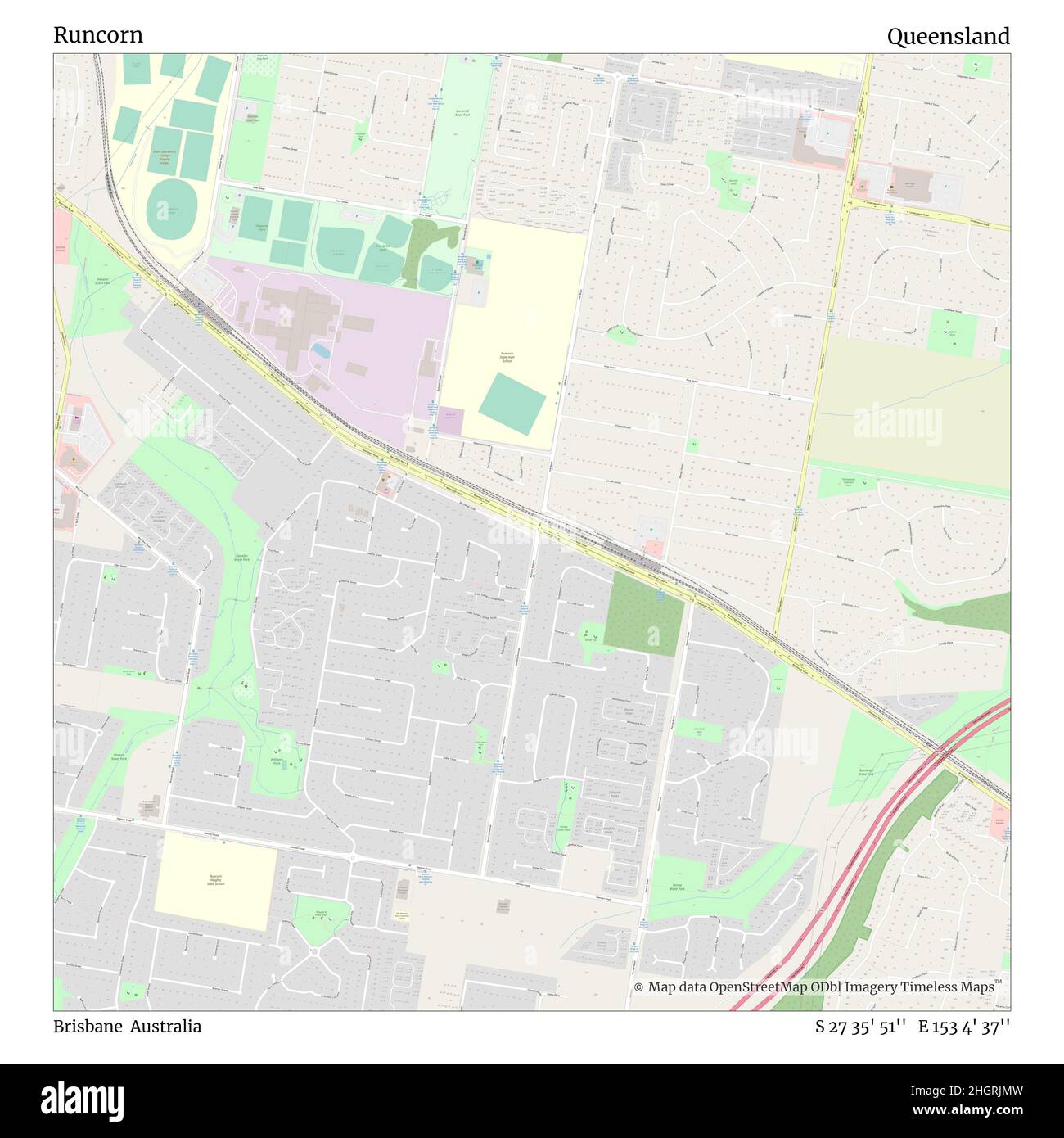 Runcorn, Brisbane, Australia, Queensland, S 27 35' 51'', E 153 4' 37'', map, Timeless Map published in 2021. Travelers, explorers and adventurers like Florence Nightingale, David Livingstone, Ernest Shackleton, Lewis and Clark and Sherlock Holmes relied on maps to plan travels to the world's most remote corners, Timeless Maps is mapping most locations on the globe, showing the achievement of great dreams Stock Photohttps://www.alamy.com/image-license-details/?v=1https://www.alamy.com/runcorn-brisbane-australia-queensland-s-27-35-51-e-153-4-37-map-timeless-map-published-in-2021-travelers-explorers-and-adventurers-like-florence-nightingale-david-livingstone-ernest-shackleton-lewis-and-clark-and-sherlock-holmes-relied-on-maps-to-plan-travels-to-the-worlds-most-remote-corners-timeless-maps-is-mapping-most-locations-on-the-globe-showing-the-achievement-of-great-dreams-image457823657.html
RM2HGRJMW–Runcorn, Brisbane, Australia, Queensland, S 27 35' 51'', E 153 4' 37'', map, Timeless Map published in 2021. Travelers, explorers and adventurers like Florence Nightingale, David Livingstone, Ernest Shackleton, Lewis and Clark and Sherlock Holmes relied on maps to plan travels to the world's most remote corners, Timeless Maps is mapping most locations on the globe, showing the achievement of great dreams
 Halton, unitary authority of England - Great Britain. High resolution satellite map. Locations and names of major cities of the region. Corner auxilia Stock Photohttps://www.alamy.com/image-license-details/?v=1https://www.alamy.com/halton-unitary-authority-of-england-great-britain-high-resolution-satellite-map-locations-and-names-of-major-cities-of-the-region-corner-auxilia-image546423292.html
RF2PMYMDG–Halton, unitary authority of England - Great Britain. High resolution satellite map. Locations and names of major cities of the region. Corner auxilia
 Runcorn, Halton, United Kingdom, England, N 53 20' 30'', W 2 43' 52'', map, Timeless Map published in 2021. Travelers, explorers and adventurers like Florence Nightingale, David Livingstone, Ernest Shackleton, Lewis and Clark and Sherlock Holmes relied on maps to plan travels to the world's most remote corners, Timeless Maps is mapping most locations on the globe, showing the achievement of great dreams Stock Photohttps://www.alamy.com/image-license-details/?v=1https://www.alamy.com/runcorn-halton-united-kingdom-england-n-53-20-30-w-2-43-52-map-timeless-map-published-in-2021-travelers-explorers-and-adventurers-like-florence-nightingale-david-livingstone-ernest-shackleton-lewis-and-clark-and-sherlock-holmes-relied-on-maps-to-plan-travels-to-the-worlds-most-remote-corners-timeless-maps-is-mapping-most-locations-on-the-globe-showing-the-achievement-of-great-dreams-image439387618.html
RM2GERRAX–Runcorn, Halton, United Kingdom, England, N 53 20' 30'', W 2 43' 52'', map, Timeless Map published in 2021. Travelers, explorers and adventurers like Florence Nightingale, David Livingstone, Ernest Shackleton, Lewis and Clark and Sherlock Holmes relied on maps to plan travels to the world's most remote corners, Timeless Maps is mapping most locations on the globe, showing the achievement of great dreams
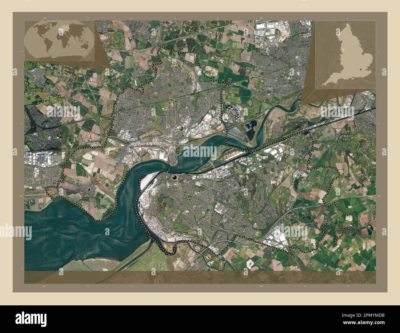 Halton, unitary authority of England - Great Britain. High resolution satellite map. Locations of major cities of the region. Corner auxiliary locatio Stock Photohttps://www.alamy.com/image-license-details/?v=1https://www.alamy.com/halton-unitary-authority-of-england-great-britain-high-resolution-satellite-map-locations-of-major-cities-of-the-region-corner-auxiliary-locatio-image546423287.html
RF2PMYMDB–Halton, unitary authority of England - Great Britain. High resolution satellite map. Locations of major cities of the region. Corner auxiliary locatio
 Halton, unitary authority of England - Great Britain. Open Street Map. Locations of major cities of the region. Corner auxiliary location maps Stock Photohttps://www.alamy.com/image-license-details/?v=1https://www.alamy.com/halton-unitary-authority-of-england-great-britain-open-street-map-locations-of-major-cities-of-the-region-corner-auxiliary-location-maps-image546423464.html
RF2PMYMKM–Halton, unitary authority of England - Great Britain. Open Street Map. Locations of major cities of the region. Corner auxiliary location maps
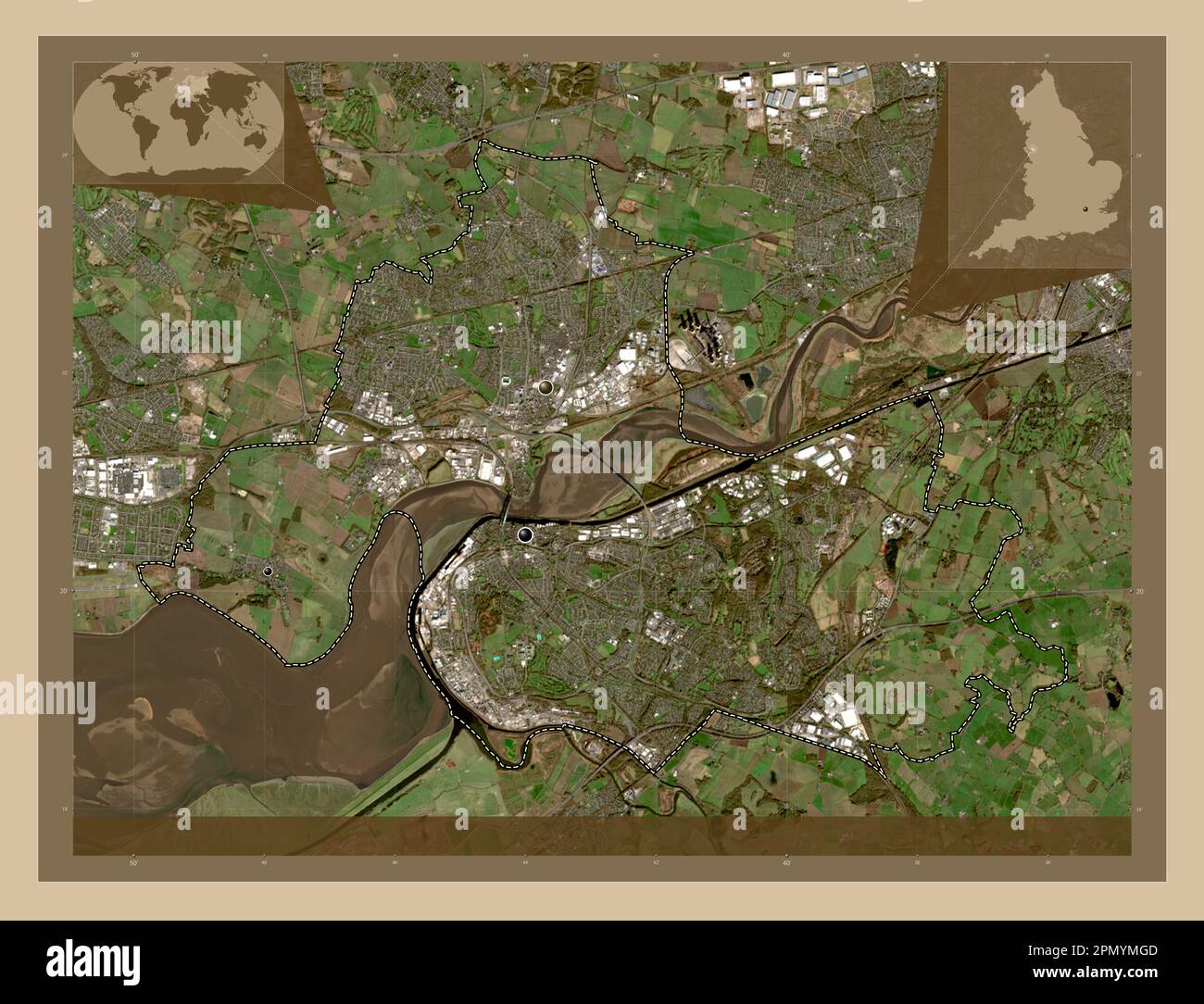 Halton, unitary authority of England - Great Britain. Low resolution satellite map. Locations of major cities of the region. Corner auxiliary location Stock Photohttps://www.alamy.com/image-license-details/?v=1https://www.alamy.com/halton-unitary-authority-of-england-great-britain-low-resolution-satellite-map-locations-of-major-cities-of-the-region-corner-auxiliary-location-image546423373.html
RF2PMYMGD–Halton, unitary authority of England - Great Britain. Low resolution satellite map. Locations of major cities of the region. Corner auxiliary location
 Halton, unitary authority of England - Great Britain. Open Street Map. Locations and names of major cities of the region. Corner auxiliary location ma Stock Photohttps://www.alamy.com/image-license-details/?v=1https://www.alamy.com/halton-unitary-authority-of-england-great-britain-open-street-map-locations-and-names-of-major-cities-of-the-region-corner-auxiliary-location-ma-image546423482.html
RF2PMYMMA–Halton, unitary authority of England - Great Britain. Open Street Map. Locations and names of major cities of the region. Corner auxiliary location ma
 North West, region of United Kingdom. Open Street Map. Locations of major cities of the region. Corner auxiliary location maps Stock Photohttps://www.alamy.com/image-license-details/?v=1https://www.alamy.com/north-west-region-of-united-kingdom-open-street-map-locations-of-major-cities-of-the-region-corner-auxiliary-location-maps-image546005905.html
RF2PM8M2W–North West, region of United Kingdom. Open Street Map. Locations of major cities of the region. Corner auxiliary location maps
 North West, region of United Kingdom. Low resolution satellite map. Locations of major cities of the region. Corner auxiliary location maps Stock Photohttps://www.alamy.com/image-license-details/?v=1https://www.alamy.com/north-west-region-of-united-kingdom-low-resolution-satellite-map-locations-of-major-cities-of-the-region-corner-auxiliary-location-maps-image546005881.html
RF2PM8M21–North West, region of United Kingdom. Low resolution satellite map. Locations of major cities of the region. Corner auxiliary location maps
 North West, region of United Kingdom. Grayscale elevation map with lakes and rivers. Locations of major cities of the region. Corner auxiliary locatio Stock Photohttps://www.alamy.com/image-license-details/?v=1https://www.alamy.com/north-west-region-of-united-kingdom-grayscale-elevation-map-with-lakes-and-rivers-locations-of-major-cities-of-the-region-corner-auxiliary-locatio-image546005788.html
RF2PM8KXM–North West, region of United Kingdom. Grayscale elevation map with lakes and rivers. Locations of major cities of the region. Corner auxiliary locatio
 North West, region of United Kingdom. Open Street Map. Locations and names of major cities of the region. Corner auxiliary location maps Stock Photohttps://www.alamy.com/image-license-details/?v=1https://www.alamy.com/north-west-region-of-united-kingdom-open-street-map-locations-and-names-of-major-cities-of-the-region-corner-auxiliary-location-maps-image546005900.html
RF2PM8M2M–North West, region of United Kingdom. Open Street Map. Locations and names of major cities of the region. Corner auxiliary location maps
 North West, region of United Kingdom. High resolution satellite map. Locations of major cities of the region. Corner auxiliary location maps Stock Photohttps://www.alamy.com/image-license-details/?v=1https://www.alamy.com/north-west-region-of-united-kingdom-high-resolution-satellite-map-locations-of-major-cities-of-the-region-corner-auxiliary-location-maps-image546005798.html
RF2PM8KY2–North West, region of United Kingdom. High resolution satellite map. Locations of major cities of the region. Corner auxiliary location maps
 North West, region of United Kingdom. Grayscale elevation map with lakes and rivers. Locations and names of major cities of the region. Corner auxilia Stock Photohttps://www.alamy.com/image-license-details/?v=1https://www.alamy.com/north-west-region-of-united-kingdom-grayscale-elevation-map-with-lakes-and-rivers-locations-and-names-of-major-cities-of-the-region-corner-auxilia-image546005804.html
RF2PM8KY8–North West, region of United Kingdom. Grayscale elevation map with lakes and rivers. Locations and names of major cities of the region. Corner auxilia
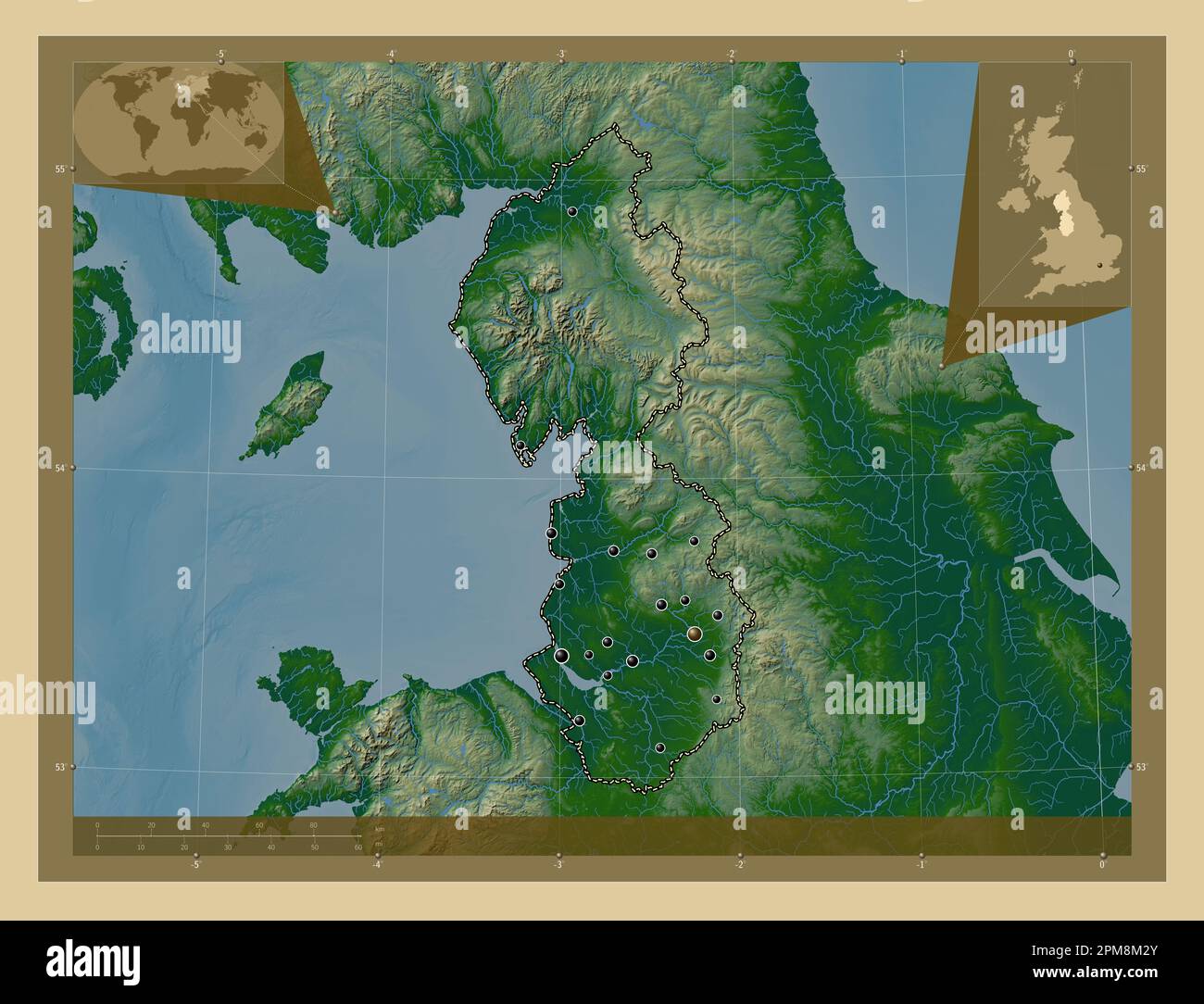 North West, region of United Kingdom. Colored elevation map with lakes and rivers. Locations of major cities of the region. Corner auxiliary location Stock Photohttps://www.alamy.com/image-license-details/?v=1https://www.alamy.com/north-west-region-of-united-kingdom-colored-elevation-map-with-lakes-and-rivers-locations-of-major-cities-of-the-region-corner-auxiliary-location-image546005907.html
RF2PM8M2Y–North West, region of United Kingdom. Colored elevation map with lakes and rivers. Locations of major cities of the region. Corner auxiliary location
 North West, region of United Kingdom. Bilevel elevation map with lakes and rivers. Locations of major cities of the region. Corner auxiliary location Stock Photohttps://www.alamy.com/image-license-details/?v=1https://www.alamy.com/north-west-region-of-united-kingdom-bilevel-elevation-map-with-lakes-and-rivers-locations-of-major-cities-of-the-region-corner-auxiliary-location-image546005688.html
RF2PM8KR4–North West, region of United Kingdom. Bilevel elevation map with lakes and rivers. Locations of major cities of the region. Corner auxiliary location
 North West, region of United Kingdom. Bilevel elevation map with lakes and rivers. Locations and names of major cities of the region. Corner auxiliary Stock Photohttps://www.alamy.com/image-license-details/?v=1https://www.alamy.com/north-west-region-of-united-kingdom-bilevel-elevation-map-with-lakes-and-rivers-locations-and-names-of-major-cities-of-the-region-corner-auxiliary-image546005689.html
RF2PM8KR5–North West, region of United Kingdom. Bilevel elevation map with lakes and rivers. Locations and names of major cities of the region. Corner auxiliary
 North West, region of United Kingdom. Colored elevation map with lakes and rivers. Locations and names of major cities of the region. Corner auxiliary Stock Photohttps://www.alamy.com/image-license-details/?v=1https://www.alamy.com/north-west-region-of-united-kingdom-colored-elevation-map-with-lakes-and-rivers-locations-and-names-of-major-cities-of-the-region-corner-auxiliary-image546005918.html
RF2PM8M3A–North West, region of United Kingdom. Colored elevation map with lakes and rivers. Locations and names of major cities of the region. Corner auxiliary
 North West, region of United Kingdom. Low resolution satellite map. Locations and names of major cities of the region. Corner auxiliary location maps Stock Photohttps://www.alamy.com/image-license-details/?v=1https://www.alamy.com/north-west-region-of-united-kingdom-low-resolution-satellite-map-locations-and-names-of-major-cities-of-the-region-corner-auxiliary-location-maps-image546006066.html
RF2PM8M8J–North West, region of United Kingdom. Low resolution satellite map. Locations and names of major cities of the region. Corner auxiliary location maps
 North West, region of United Kingdom. High resolution satellite map. Locations and names of major cities of the region. Corner auxiliary location maps Stock Photohttps://www.alamy.com/image-license-details/?v=1https://www.alamy.com/north-west-region-of-united-kingdom-high-resolution-satellite-map-locations-and-names-of-major-cities-of-the-region-corner-auxiliary-location-maps-image546005813.html
RF2PM8KYH–North West, region of United Kingdom. High resolution satellite map. Locations and names of major cities of the region. Corner auxiliary location maps
 North West, region of United Kingdom. Elevation map colored in wiki style with lakes and rivers. Locations of major cities of the region. Corner auxil Stock Photohttps://www.alamy.com/image-license-details/?v=1https://www.alamy.com/north-west-region-of-united-kingdom-elevation-map-colored-in-wiki-style-with-lakes-and-rivers-locations-of-major-cities-of-the-region-corner-auxil-image546006028.html
RF2PM8M78–North West, region of United Kingdom. Elevation map colored in wiki style with lakes and rivers. Locations of major cities of the region. Corner auxil
 North West, region of United Kingdom. Elevation map colored in sepia tones with lakes and rivers. Locations of major cities of the region. Corner auxi Stock Photohttps://www.alamy.com/image-license-details/?v=1https://www.alamy.com/north-west-region-of-united-kingdom-elevation-map-colored-in-sepia-tones-with-lakes-and-rivers-locations-of-major-cities-of-the-region-corner-auxi-image546006030.html
RF2PM8M7A–North West, region of United Kingdom. Elevation map colored in sepia tones with lakes and rivers. Locations of major cities of the region. Corner auxi
 North West, region of United Kingdom. Elevation map colored in sepia tones with lakes and rivers. Locations and names of major cities of the region. C Stock Photohttps://www.alamy.com/image-license-details/?v=1https://www.alamy.com/north-west-region-of-united-kingdom-elevation-map-colored-in-sepia-tones-with-lakes-and-rivers-locations-and-names-of-major-cities-of-the-region-c-image546006014.html
RF2PM8M6P–North West, region of United Kingdom. Elevation map colored in sepia tones with lakes and rivers. Locations and names of major cities of the region. C
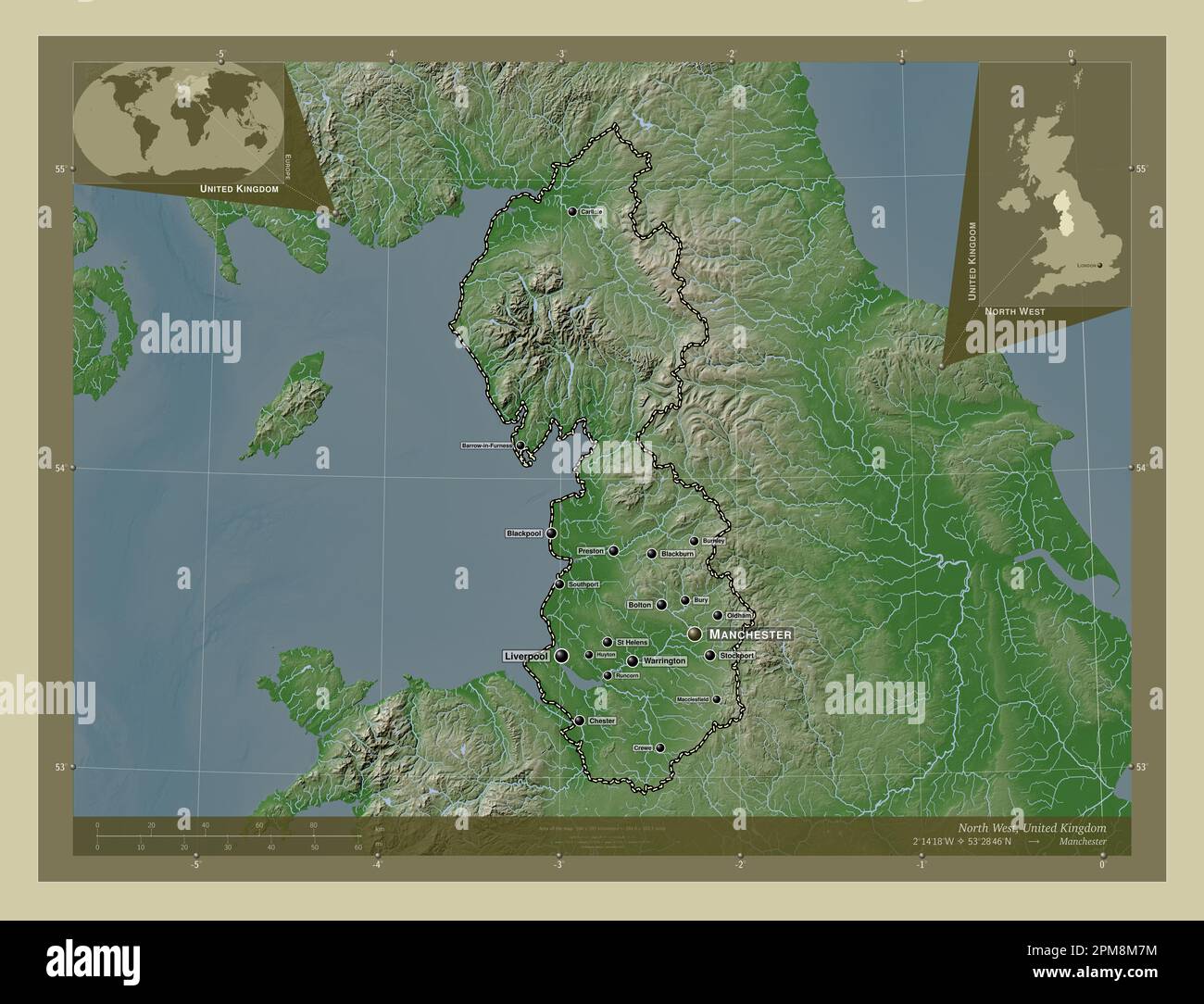 North West, region of United Kingdom. Elevation map colored in wiki style with lakes and rivers. Locations and names of major cities of the region. Co Stock Photohttps://www.alamy.com/image-license-details/?v=1https://www.alamy.com/north-west-region-of-united-kingdom-elevation-map-colored-in-wiki-style-with-lakes-and-rivers-locations-and-names-of-major-cities-of-the-region-co-image546006040.html
RF2PM8M7M–North West, region of United Kingdom. Elevation map colored in wiki style with lakes and rivers. Locations and names of major cities of the region. Co
 Halton, unitary authority of England - Great Britain. Solid color shape Stock Photohttps://www.alamy.com/image-license-details/?v=1https://www.alamy.com/halton-unitary-authority-of-england-great-britain-solid-color-shape-image546423538.html
RF2PMYMPA–Halton, unitary authority of England - Great Britain. Solid color shape
 Halton, unitary authority of England - Great Britain. Solid color shape. Locations of major cities of the region. Corner auxiliary location maps Stock Photohttps://www.alamy.com/image-license-details/?v=1https://www.alamy.com/halton-unitary-authority-of-england-great-britain-solid-color-shape-locations-of-major-cities-of-the-region-corner-auxiliary-location-maps-image546423523.html
RF2PMYMNR–Halton, unitary authority of England - Great Britain. Solid color shape. Locations of major cities of the region. Corner auxiliary location maps
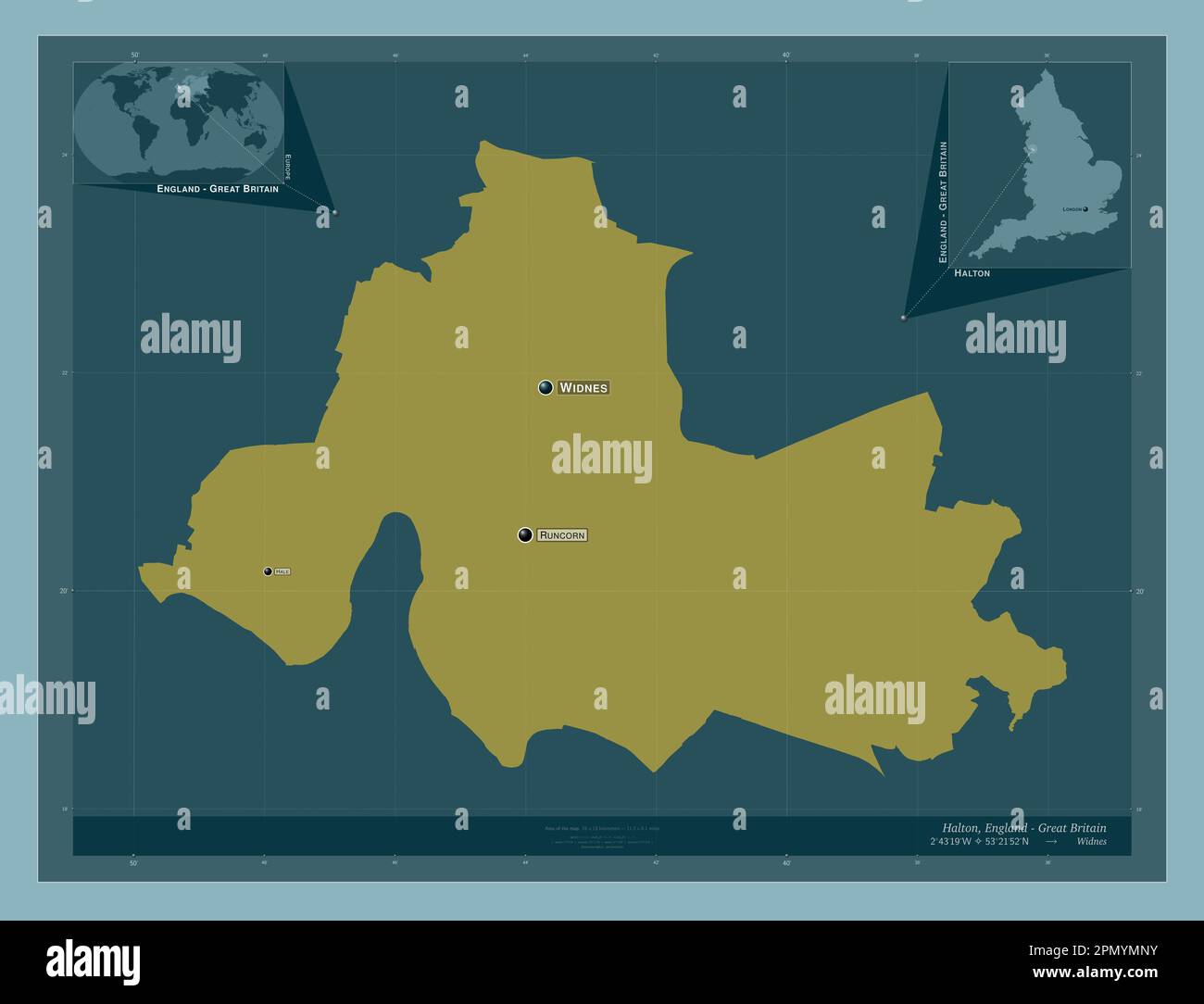 Halton, unitary authority of England - Great Britain. Solid color shape. Locations and names of major cities of the region. Corner auxiliary location Stock Photohttps://www.alamy.com/image-license-details/?v=1https://www.alamy.com/halton-unitary-authority-of-england-great-britain-solid-color-shape-locations-and-names-of-major-cities-of-the-region-corner-auxiliary-location-image546423527.html
RF2PMYMNY–Halton, unitary authority of England - Great Britain. Solid color shape. Locations and names of major cities of the region. Corner auxiliary location
 North West, region of United Kingdom. Solid color shape. Locations of major cities of the region. Corner auxiliary location maps Stock Photohttps://www.alamy.com/image-license-details/?v=1https://www.alamy.com/north-west-region-of-united-kingdom-solid-color-shape-locations-of-major-cities-of-the-region-corner-auxiliary-location-maps-image546005902.html
RF2PM8M2P–North West, region of United Kingdom. Solid color shape. Locations of major cities of the region. Corner auxiliary location maps
 North West, region of United Kingdom. Solid color shape. Locations and names of major cities of the region. Corner auxiliary location maps Stock Photohttps://www.alamy.com/image-license-details/?v=1https://www.alamy.com/north-west-region-of-united-kingdom-solid-color-shape-locations-and-names-of-major-cities-of-the-region-corner-auxiliary-location-maps-image546005903.html
RF2PM8M2R–North West, region of United Kingdom. Solid color shape. Locations and names of major cities of the region. Corner auxiliary location maps
