Quick filters:
Moorefield west virginia Stock Photos and Images
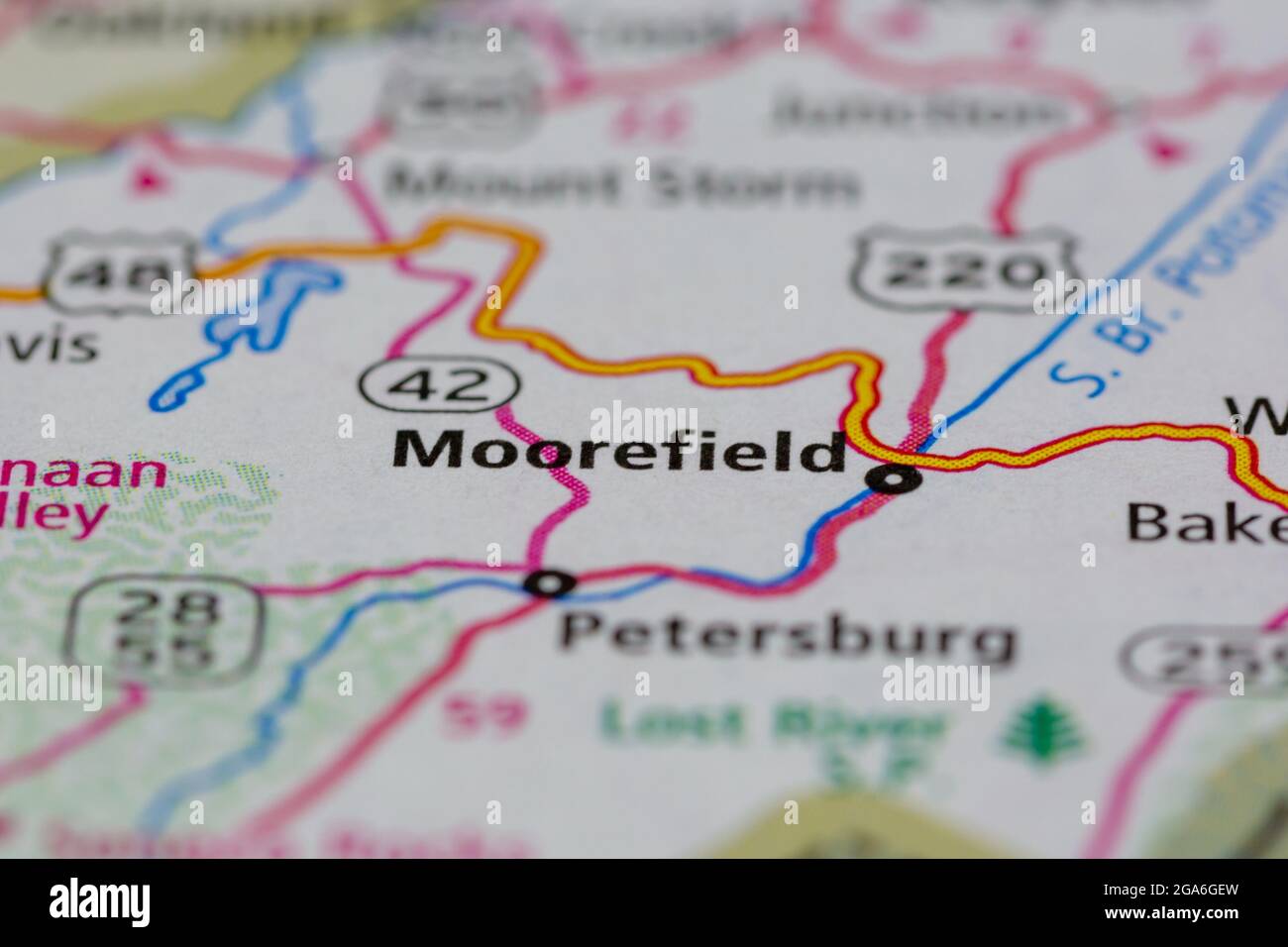 Moorefield West Virginia USA shown on a road map or Geography map Stock Photohttps://www.alamy.com/image-license-details/?v=1https://www.alamy.com/moorefield-west-virginia-usa-shown-on-a-road-map-or-geography-map-image436550433.html
RM2GA6GEW–Moorefield West Virginia USA shown on a road map or Geography map
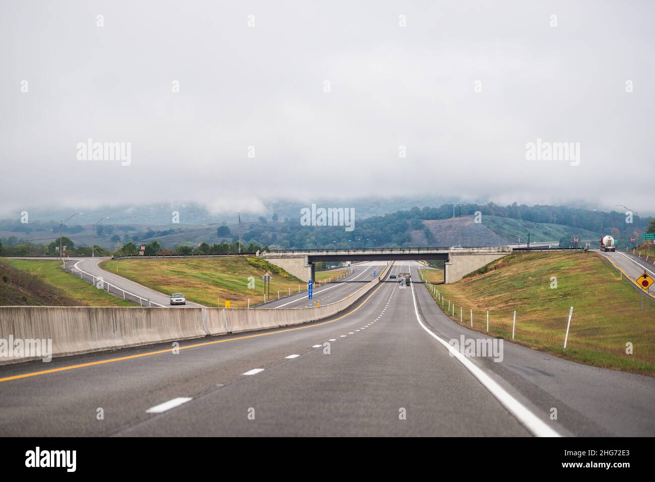 Moorefield, West Virginia Allegheny mountains driving car point of view on road to Dolly Sods with cars in traffic on highway and overcast cloudy mist Stock Photohttps://www.alamy.com/image-license-details/?v=1https://www.alamy.com/moorefield-west-virginia-allegheny-mountains-driving-car-point-of-view-on-road-to-dolly-sods-with-cars-in-traffic-on-highway-and-overcast-cloudy-mist-image457459691.html
RF2HG72E3–Moorefield, West Virginia Allegheny mountains driving car point of view on road to Dolly Sods with cars in traffic on highway and overcast cloudy mist
 Moorefield, USA - October 5, 2020: Presidential election political sign flag for President Trump Keep America Great 2020 text on tree in West Virginia Stock Photohttps://www.alamy.com/image-license-details/?v=1https://www.alamy.com/moorefield-usa-october-5-2020-presidential-election-political-sign-flag-for-president-trump-keep-america-great-2020-text-on-tree-in-west-virginia-image381801090.html
RF2D54F56–Moorefield, USA - October 5, 2020: Presidential election political sign flag for President Trump Keep America Great 2020 text on tree in West Virginia
 South Branch Mountain, Moorefield, West Virginia, USA Stock Photohttps://www.alamy.com/image-license-details/?v=1https://www.alamy.com/stock-photo-south-branch-mountain-moorefield-west-virginia-usa-15945755.html
RMAR5G7T–South Branch Mountain, Moorefield, West Virginia, USA
 PETERSBURG Settled about 1745. Near by was Fort George, Indian fort. Federal trenches overlooked the town in 1863 and 1864. Here is grave of Rev. W. N. Scott, pioneer preacher, who built churches at Old Fields, Moorefield, and Petersburg. Stock Photohttps://www.alamy.com/image-license-details/?v=1https://www.alamy.com/stock-photo-petersburg-settled-about-1745-near-by-was-fort-george-indian-fort-57965736.html
RMDA8FTT–PETERSBURG Settled about 1745. Near by was Fort George, Indian fort. Federal trenches overlooked the town in 1863 and 1864. Here is grave of Rev. W. N. Scott, pioneer preacher, who built churches at Old Fields, Moorefield, and Petersburg.
 Moorefield, Hardy County, US, United States, West Virginia, N 39 3' 44'', S 78 58' 10'', map, Cartascapes Map published in 2024. Explore Cartascapes, a map revealing Earth's diverse landscapes, cultures, and ecosystems. Journey through time and space, discovering the interconnectedness of our planet's past, present, and future. Stock Photohttps://www.alamy.com/image-license-details/?v=1https://www.alamy.com/moorefield-hardy-county-us-united-states-west-virginia-n-39-3-44-s-78-58-10-map-cartascapes-map-published-in-2024-explore-cartascapes-a-map-revealing-earths-diverse-landscapes-cultures-and-ecosystems-journey-through-time-and-space-discovering-the-interconnectedness-of-our-planets-past-present-and-future-image621403651.html
RM2Y2YAKF–Moorefield, Hardy County, US, United States, West Virginia, N 39 3' 44'', S 78 58' 10'', map, Cartascapes Map published in 2024. Explore Cartascapes, a map revealing Earth's diverse landscapes, cultures, and ecosystems. Journey through time and space, discovering the interconnectedness of our planet's past, present, and future.
 Rendering of a green 3d highway sign for Hardy County Stock Photohttps://www.alamy.com/image-license-details/?v=1https://www.alamy.com/rendering-of-a-green-3d-highway-sign-for-hardy-county-image336182515.html
RF2AEXC6B–Rendering of a green 3d highway sign for Hardy County
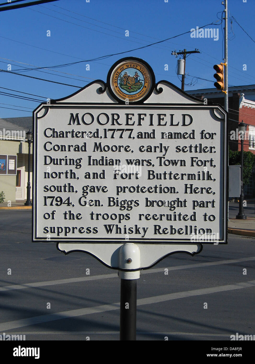 MOOREFIELD Chartered, 1777, and named for Conrad Moore, early settler. During Indian wars, Town Fort, north, and Fort Buttermilk, south, gave protection. Here, 1794, Gen. Biggs brought part of the troops recruited to suppress Whisky Rebellion. Stock Photohttps://www.alamy.com/image-license-details/?v=1https://www.alamy.com/stock-photo-moorefield-chartered-1777-and-named-for-conrad-moore-early-settler-57965567.html
RMDA8FJR–MOOREFIELD Chartered, 1777, and named for Conrad Moore, early settler. During Indian wars, Town Fort, north, and Fort Buttermilk, south, gave protection. Here, 1794, Gen. Biggs brought part of the troops recruited to suppress Whisky Rebellion.
 Antique engraving depicting hills near Moorefield, a town in the U.S. state of West Virginia. Illustration published in Picturesque America or the Lan Stock Photohttps://www.alamy.com/image-license-details/?v=1https://www.alamy.com/antique-engraving-depicting-hills-near-moorefield-a-town-in-the-us-state-of-west-virginia-illustration-published-in-picturesque-america-or-the-lan-image379489010.html
RF2D1B62X–Antique engraving depicting hills near Moorefield, a town in the U.S. state of West Virginia. Illustration published in Picturesque America or the Lan
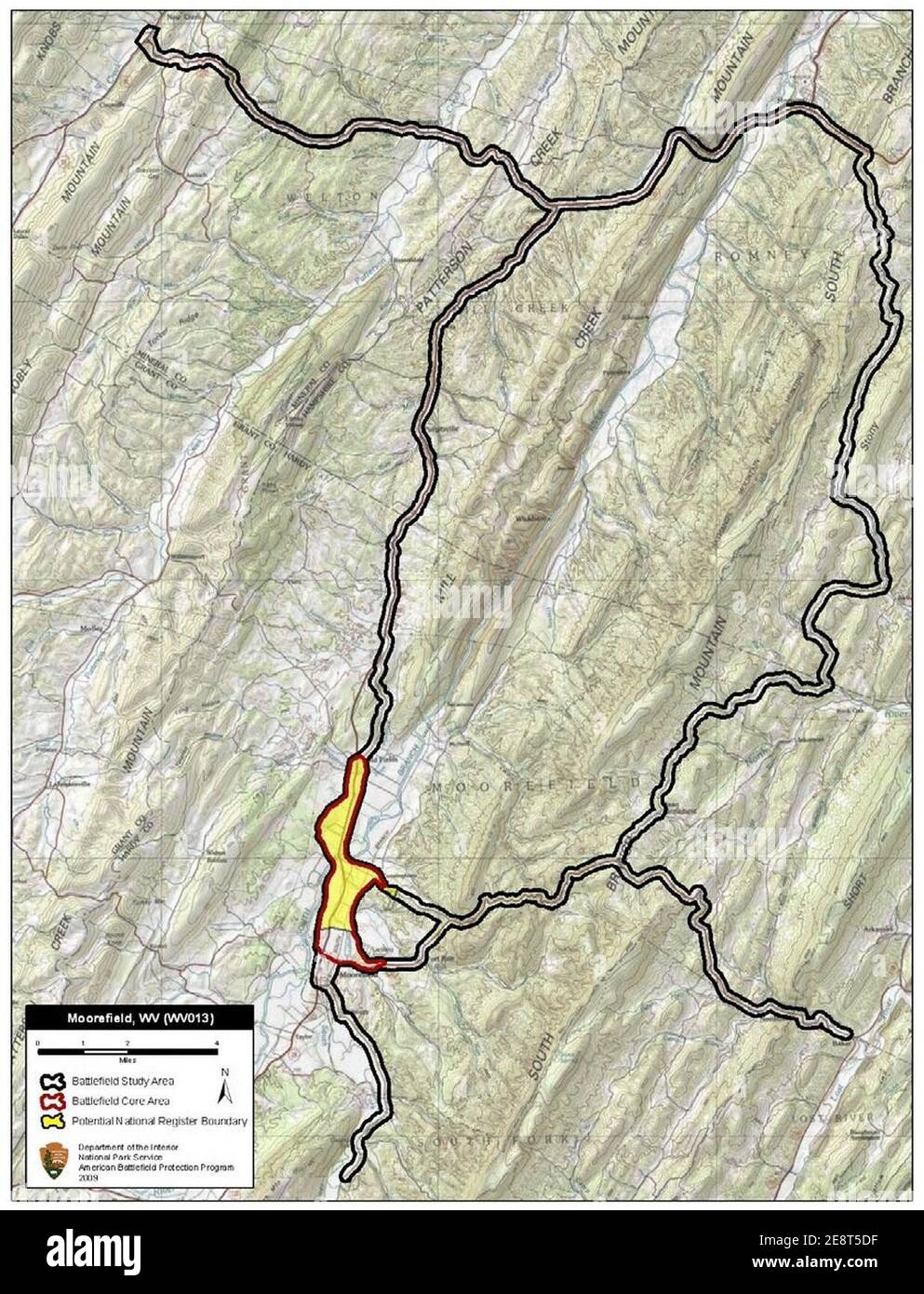 Moorefield Battlefield West Virginia. Stock Photohttps://www.alamy.com/image-license-details/?v=1https://www.alamy.com/moorefield-battlefield-west-virginia-image401286859.html
RM2E8T5DF–Moorefield Battlefield West Virginia.
 Residence in Moorefield along Route 220, WV Stock Photohttps://www.alamy.com/image-license-details/?v=1https://www.alamy.com/stock-photo-residence-in-moorefield-along-route-220-wv-49886258.html
RFCW4EC2–Residence in Moorefield along Route 220, WV
 . Utah since statehood, historical and biographical . cipated in an en-gagement at Moorefield, West Virginia, and was afterward in the engagements at Mc-Dowell, Cross Keys, Culpeper Courthouse, Strawberry Run, the second battle of BullRun and the battle of Antletam, where the Union forces lost twelve thousand men inthree hours. He also took part in a number of other engagements which led up to thefinal victory that crowned the Union arms. He was at Lynchburg on the 18th of June,1864, when he was shot through the lung and was left on the battlefield. The next dayhe was taken prisoner and was se Stock Photohttps://www.alamy.com/image-license-details/?v=1https://www.alamy.com/utah-since-statehood-historical-and-biographical-cipated-in-an-en-gagement-at-moorefield-west-virginia-and-was-afterward-in-the-engagements-at-mc-dowell-cross-keys-culpeper-courthouse-strawberry-run-the-second-battle-of-bullrun-and-the-battle-of-antletam-where-the-union-forces-lost-twelve-thousand-men-inthree-hours-he-also-took-part-in-a-number-of-other-engagements-which-led-up-to-thefinal-victory-that-crowned-the-union-arms-he-was-at-lynchburg-on-the-18th-of-june1864-when-he-was-shot-through-the-lung-and-was-left-on-the-battlefield-the-next-dayhe-was-taken-prisoner-and-was-se-image372487471.html
RM2CJ07FY–. Utah since statehood, historical and biographical . cipated in an en-gagement at Moorefield, West Virginia, and was afterward in the engagements at Mc-Dowell, Cross Keys, Culpeper Courthouse, Strawberry Run, the second battle of BullRun and the battle of Antletam, where the Union forces lost twelve thousand men inthree hours. He also took part in a number of other engagements which led up to thefinal victory that crowned the Union arms. He was at Lynchburg on the 18th of June,1864, when he was shot through the lung and was left on the battlefield. The next dayhe was taken prisoner and was se
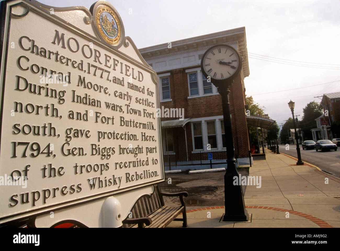 Commemorative plaque in Moorefield WV Stock Photohttps://www.alamy.com/image-license-details/?v=1https://www.alamy.com/commemorative-plaque-in-moorefield-wv-image8728769.html
RMAMJ9G2–Commemorative plaque in Moorefield WV
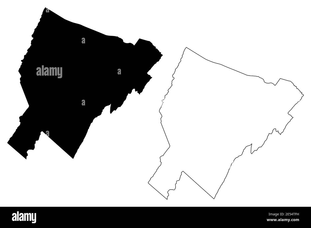 Hardy County, State of West Virginia (U.S. county, United States of America, USA, U.S., US) map vector illustration, scribble sketch Hardy map Stock Vectorhttps://www.alamy.com/image-license-details/?v=1https://www.alamy.com/hardy-county-state-of-west-virginia-us-county-united-states-of-america-usa-us-us-map-vector-illustration-scribble-sketch-hardy-map-image399018805.html
RF2E54TFH–Hardy County, State of West Virginia (U.S. county, United States of America, USA, U.S., US) map vector illustration, scribble sketch Hardy map
 Moorefield, West Virginia Allegheny mountains driving with exit sign car point of view on road to Dolly Sods with cars in traffic on highway and overc Stock Photohttps://www.alamy.com/image-license-details/?v=1https://www.alamy.com/moorefield-west-virginia-allegheny-mountains-driving-with-exit-sign-car-point-of-view-on-road-to-dolly-sods-with-cars-in-traffic-on-highway-and-overc-image457459690.html
RF2HG72E2–Moorefield, West Virginia Allegheny mountains driving with exit sign car point of view on road to Dolly Sods with cars in traffic on highway and overc
 Moorefield, Hardy County, US, United States, West Virginia, N 39 3' 44'', S 78 58' 10'', map, Cartascapes Map published in 2024. Explore Cartascapes, a map revealing Earth's diverse landscapes, cultures, and ecosystems. Journey through time and space, discovering the interconnectedness of our planet's past, present, and future. Stock Photohttps://www.alamy.com/image-license-details/?v=1https://www.alamy.com/moorefield-hardy-county-us-united-states-west-virginia-n-39-3-44-s-78-58-10-map-cartascapes-map-published-in-2024-explore-cartascapes-a-map-revealing-earths-diverse-landscapes-cultures-and-ecosystems-journey-through-time-and-space-discovering-the-interconnectedness-of-our-planets-past-present-and-future-image621243503.html
RM2Y2M2BY–Moorefield, Hardy County, US, United States, West Virginia, N 39 3' 44'', S 78 58' 10'', map, Cartascapes Map published in 2024. Explore Cartascapes, a map revealing Earth's diverse landscapes, cultures, and ecosystems. Journey through time and space, discovering the interconnectedness of our planet's past, present, and future.
 Rendering of a green 3d highway sign for Hardy County Stock Photohttps://www.alamy.com/image-license-details/?v=1https://www.alamy.com/rendering-of-a-green-3d-highway-sign-for-hardy-county-image336182415.html
RF2AEXC2R–Rendering of a green 3d highway sign for Hardy County
 Antique illustration of Petersburg Gap, U.S. state of West Virginia. Engraving published in Picturesque America or the Land We Live In (D. Appleton & Stock Photohttps://www.alamy.com/image-license-details/?v=1https://www.alamy.com/antique-illustration-of-petersburg-gap-us-state-of-west-virginia-engraving-published-in-picturesque-america-or-the-land-we-live-in-d-appleton-image379503674.html
RF2D1BTPJ–Antique illustration of Petersburg Gap, U.S. state of West Virginia. Engraving published in Picturesque America or the Land We Live In (D. Appleton &
 Antique store in Moorefield, WV on Highway, Route 220 Stock Photohttps://www.alamy.com/image-license-details/?v=1https://www.alamy.com/stock-photo-antique-store-in-moorefield-wv-on-highway-route-220-49886261.html
RFCW4EC5–Antique store in Moorefield, WV on Highway, Route 220
 . Kaleidoscope. Machir Inskeep Williams MOOREFIELD, WeST VIRGINIA Pliihtnlhropic George E. Tuckett Scholarship for SophomoreClass; West Virginia Club. J. WiLMER Benjamin, Jr. ST H.rpehs Fehry, Wi;.st Virginia Union Varsitv BasV-et Ball Squad, 1920, 21, 22;Freshman Baseball. 1920; Tennis Club. 1920, 21.?22; Football Publicity Agent. 1920; Clerk ofCourse High School Field Dav, 1921; AssistantManager of Baseball. 1922; tiger Staff. 1920.?21. ^22; Editor-in-Chief of Tiger. 1921. ^22;Kaleidoscope Staff. 1920. ?21. ^22; Freshman,Sophomore Magazine Medal, 1921; MagazinePoetry Prize. 1921; Marshall I Stock Photohttps://www.alamy.com/image-license-details/?v=1https://www.alamy.com/kaleidoscope-machir-inskeep-williams-moorefield-west-virginia-pliihtnlhropic-george-e-tuckett-scholarship-for-sophomoreclass-west-virginia-club-j-wilmer-benjamin-jr-st-hrpehs-fehry-wist-virginia-union-varsitv-basv-et-ball-squad-1920-21-22freshman-baseball-1920-tennis-club-1920-2122-football-publicity-agent-1920-clerk-ofcourse-high-school-field-dav-1921-assistantmanager-of-baseball-1922-tiger-staff-192021-22-editor-in-chief-of-tiger-1921-22kaleidoscope-staff-1920-21-22-freshmansophomore-magazine-medal-1921-magazinepoetry-prize-1921-marshall-i-image370730081.html
RM2CF4601–. Kaleidoscope. Machir Inskeep Williams MOOREFIELD, WeST VIRGINIA Pliihtnlhropic George E. Tuckett Scholarship for SophomoreClass; West Virginia Club. J. WiLMER Benjamin, Jr. ST H.rpehs Fehry, Wi;.st Virginia Union Varsitv BasV-et Ball Squad, 1920, 21, 22;Freshman Baseball. 1920; Tennis Club. 1920, 21.?22; Football Publicity Agent. 1920; Clerk ofCourse High School Field Dav, 1921; AssistantManager of Baseball. 1922; tiger Staff. 1920.?21. ^22; Editor-in-Chief of Tiger. 1921. ^22;Kaleidoscope Staff. 1920. ?21. ^22; Freshman,Sophomore Magazine Medal, 1921; MagazinePoetry Prize. 1921; Marshall I
 Residence in Moorefield along Route 220 WV Stock Photohttps://www.alamy.com/image-license-details/?v=1https://www.alamy.com/residence-in-moorefield-along-route-220-wv-image8726213.html
RFAMHRT6–Residence in Moorefield along Route 220 WV
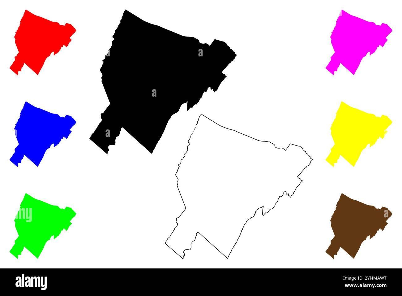 Hardy County, State of West Virginia (U.S. county, United States of America, USA, U.S., US) map vector illustration, scribble sketch Hardy map Stock Vectorhttps://www.alamy.com/image-license-details/?v=1https://www.alamy.com/hardy-county-state-of-west-virginia-us-county-united-states-of-america-usa-us-us-map-vector-illustration-scribble-sketch-hardy-map-image632928628.html
RF2YNMAWT–Hardy County, State of West Virginia (U.S. county, United States of America, USA, U.S., US) map vector illustration, scribble sketch Hardy map
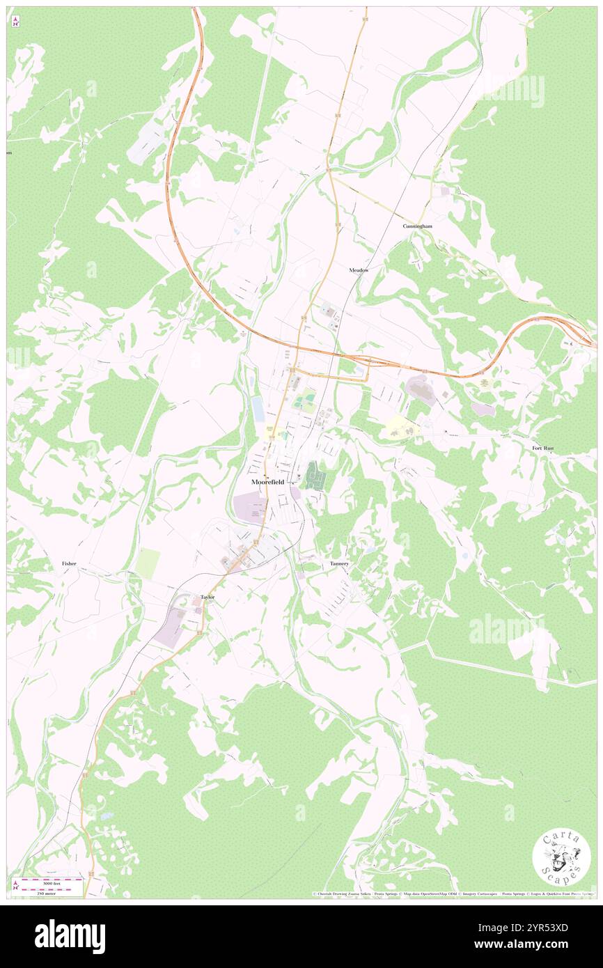 Town of Moorefield, Hardy County, US, United States, West Virginia, N 39 3' 58'', S 78 57' 49'', map, Cartascapes Map published in 2024. Explore Cartascapes, a map revealing Earth's diverse landscapes, cultures, and ecosystems. Journey through time and space, discovering the interconnectedness of our planet's past, present, and future. Stock Photohttps://www.alamy.com/image-license-details/?v=1https://www.alamy.com/town-of-moorefield-hardy-county-us-united-states-west-virginia-n-39-3-58-s-78-57-49-map-cartascapes-map-published-in-2024-explore-cartascapes-a-map-revealing-earths-diverse-landscapes-cultures-and-ecosystems-journey-through-time-and-space-discovering-the-interconnectedness-of-our-planets-past-present-and-future-image633823189.html
RM2YR53XD–Town of Moorefield, Hardy County, US, United States, West Virginia, N 39 3' 58'', S 78 57' 49'', map, Cartascapes Map published in 2024. Explore Cartascapes, a map revealing Earth's diverse landscapes, cultures, and ecosystems. Journey through time and space, discovering the interconnectedness of our planet's past, present, and future.
 Rendering of a green 3d highway sign for Hardy County Stock Photohttps://www.alamy.com/image-license-details/?v=1https://www.alamy.com/rendering-of-a-green-3d-highway-sign-for-hardy-county-image336182505.html
RF2AEXC61–Rendering of a green 3d highway sign for Hardy County
 . West Virginia trees. —Matures in autumn of first season ; very large acorn witha deep cup heavily fringed on the rim; nut ovoid, l-lyj inches long,brown, pubescent, about one-third enclosed in the cup. Bark.—Deeply furrowed and similar to that of White Oak ; corkyon the twigs. Wood.—Heavy, hard, strong, close-grained, durable, brownish,with thin sap wood. Range.—Nova Scotia and Manitoba south to West Virginia andwest to Kansas and Texas. Distribution in West Virginia.—Rare. Observed in the follow-ing localities: Hardy County, between Romney and Moorefield ; GrantCounty, several trees on Luni Stock Photohttps://www.alamy.com/image-license-details/?v=1https://www.alamy.com/west-virginia-trees-matures-in-autumn-of-first-season-very-large-acorn-witha-deep-cup-heavily-fringed-on-the-rim-nut-ovoid-l-lyj-inches-longbrown-pubescent-about-one-third-enclosed-in-the-cup-barkdeeply-furrowed-and-similar-to-that-of-white-oak-corkyon-the-twigs-woodheavy-hard-strong-close-grained-durable-brownishwith-thin-sap-wood-rangenova-scotia-and-manitoba-south-to-west-virginia-andwest-to-kansas-and-texas-distribution-in-west-virginiarare-observed-in-the-follow-ing-localities-hardy-county-between-romney-and-moorefield-grantcounty-several-trees-on-luni-image336833861.html
RM2AG030N–. West Virginia trees. —Matures in autumn of first season ; very large acorn witha deep cup heavily fringed on the rim; nut ovoid, l-lyj inches long,brown, pubescent, about one-third enclosed in the cup. Bark.—Deeply furrowed and similar to that of White Oak ; corkyon the twigs. Wood.—Heavy, hard, strong, close-grained, durable, brownish,with thin sap wood. Range.—Nova Scotia and Manitoba south to West Virginia andwest to Kansas and Texas. Distribution in West Virginia.—Rare. Observed in the follow-ing localities: Hardy County, between Romney and Moorefield ; GrantCounty, several trees on Luni
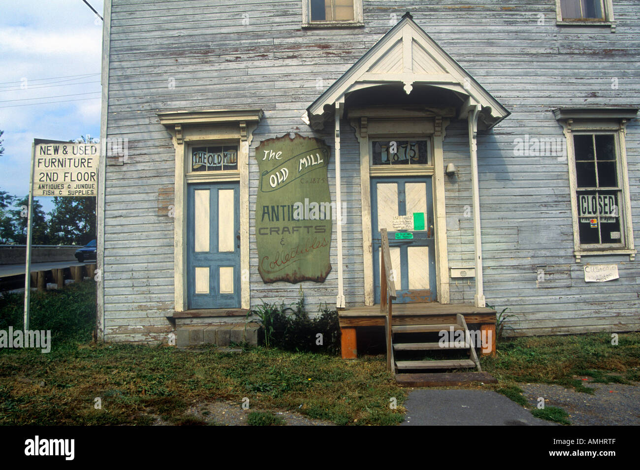 Antique store in Moorefield WV on Highway Route 220 Stock Photohttps://www.alamy.com/image-license-details/?v=1https://www.alamy.com/antique-store-in-moorefield-wv-on-highway-route-220-image8726222.html
RFAMHRTF–Antique store in Moorefield WV on Highway Route 220
 Hardy County, State of West Virginia (U.S. county, United States of America, USA, U.S., US) map vector illustration, scribble sketch Hardy map Stock Vectorhttps://www.alamy.com/image-license-details/?v=1https://www.alamy.com/hardy-county-state-of-west-virginia-us-county-united-states-of-america-usa-us-us-map-vector-illustration-scribble-sketch-hardy-map-image432576632.html
RF2G3NFWC–Hardy County, State of West Virginia (U.S. county, United States of America, USA, U.S., US) map vector illustration, scribble sketch Hardy map
 Moorefield District, Hardy County, US, United States, West Virginia, N 39 3' 8'', S 78 54' 38'', map, Cartascapes Map published in 2024. Explore Cartascapes, a map revealing Earth's diverse landscapes, cultures, and ecosystems. Journey through time and space, discovering the interconnectedness of our planet's past, present, and future. Stock Photohttps://www.alamy.com/image-license-details/?v=1https://www.alamy.com/moorefield-district-hardy-county-us-united-states-west-virginia-n-39-3-8-s-78-54-38-map-cartascapes-map-published-in-2024-explore-cartascapes-a-map-revealing-earths-diverse-landscapes-cultures-and-ecosystems-journey-through-time-and-space-discovering-the-interconnectedness-of-our-planets-past-present-and-future-image633860399.html
RM2YR6RBB–Moorefield District, Hardy County, US, United States, West Virginia, N 39 3' 8'', S 78 54' 38'', map, Cartascapes Map published in 2024. Explore Cartascapes, a map revealing Earth's diverse landscapes, cultures, and ecosystems. Journey through time and space, discovering the interconnectedness of our planet's past, present, and future.
 Rendering of a green 3d highway sign for Hardy County Stock Photohttps://www.alamy.com/image-license-details/?v=1https://www.alamy.com/rendering-of-a-green-3d-highway-sign-for-hardy-county-image336182425.html
RF2AEXC35–Rendering of a green 3d highway sign for Hardy County
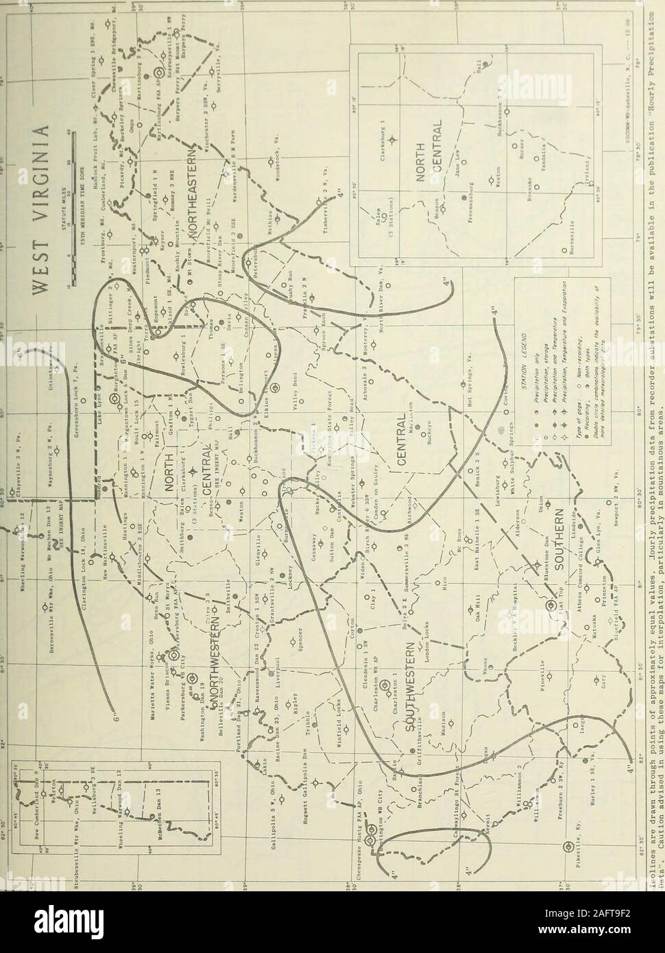 . Climatological data, West Virginia. T T 1.2 1 6.02 T T T 5.64 LEWISBURGMANNINGTON 1 N SNOWFALLSN ON GND SNOWFALLSN ON GND T T T T T T = T T T1.0 T T MARTINSBURG FAA AIRPORT SNOWFALLSN ON GND 2.0 2 MATHIAS SNOWFALLSN ON GND T T T 1.0 T 8.0 2 8.05 T T T MC ROSS SNOWFALLSN ON GND TT T T T T T T T 2.01 T T MOOREFIELD MC NEILL SNOWFALLSN ON GNO 1.0 2.0 MORGANTOWN FAA AIRPORT SNOWFALLSN ON GND T TT T TT T 1.01 T NEW MARTINSVILLE SNOWFALLSN ON GND T T T T T T OAK HILL SNOWFALLSN ON GND 2.02 PARKERSBURG FAA AIRPORT SNOWFALLSN ON GND T T T PARKERSBURG WB CITY SNOWFALLSN ON GND .7 T T T T .7 TT T PIED Stock Photohttps://www.alamy.com/image-license-details/?v=1https://www.alamy.com/climatological-data-west-virginia-t-t-12-1-602-t-t-t-564-lewisburgmannington-1-n-snowfallsn-on-gnd-snowfallsn-on-gnd-t-t-t-t-t-t-=-t-t-t10-t-t-martinsburg-faa-airport-snowfallsn-on-gnd-20-2-mathias-snowfallsn-on-gnd-t-t-t-10-t-80-2-805-t-t-t-mc-ross-snowfallsn-on-gnd-tt-t-t-t-t-t-t-t-201-t-t-moorefield-mc-neill-snowfallsn-on-gno-10-20-morgantown-faa-airport-snowfallsn-on-gnd-t-tt-t-tt-t-101-t-new-martinsville-snowfallsn-on-gnd-t-t-t-t-t-t-oak-hill-snowfallsn-on-gnd-202-parkersburg-faa-airport-snowfallsn-on-gnd-t-t-t-parkersburg-wb-city-snowfallsn-on-gnd-7-t-t-t-t-7-tt-t-pied-image336751158.html
RM2AFT9F2–. Climatological data, West Virginia. T T 1.2 1 6.02 T T T 5.64 LEWISBURGMANNINGTON 1 N SNOWFALLSN ON GND SNOWFALLSN ON GND T T T T T T = T T T1.0 T T MARTINSBURG FAA AIRPORT SNOWFALLSN ON GND 2.0 2 MATHIAS SNOWFALLSN ON GND T T T 1.0 T 8.0 2 8.05 T T T MC ROSS SNOWFALLSN ON GND TT T T T T T T T 2.01 T T MOOREFIELD MC NEILL SNOWFALLSN ON GNO 1.0 2.0 MORGANTOWN FAA AIRPORT SNOWFALLSN ON GND T TT T TT T 1.01 T NEW MARTINSVILLE SNOWFALLSN ON GND T T T T T T OAK HILL SNOWFALLSN ON GND 2.02 PARKERSBURG FAA AIRPORT SNOWFALLSN ON GND T T T PARKERSBURG WB CITY SNOWFALLSN ON GND .7 T T T T .7 TT T PIED
 Glen Ferris Inn on the Midland Trail Scenic Highway Route 60 WV Stock Photohttps://www.alamy.com/image-license-details/?v=1https://www.alamy.com/glen-ferris-inn-on-the-midland-trail-scenic-highway-route-60-wv-image8728775.html
RMAMJ9G8–Glen Ferris Inn on the Midland Trail Scenic Highway Route 60 WV
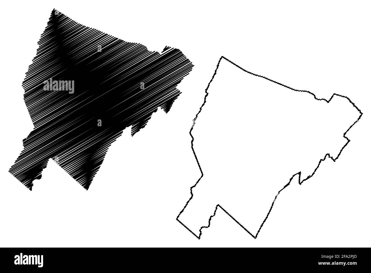 Hardy County, State of West Virginia (U.S. county, United States of America, USA, U.S., US) map vector illustration, scribble sketch Hardy map Stock Vectorhttps://www.alamy.com/image-license-details/?v=1https://www.alamy.com/hardy-county-state-of-west-virginia-us-county-united-states-of-america-usa-us-us-map-vector-illustration-scribble-sketch-hardy-map-image419257061.html
RF2FA2PJD–Hardy County, State of West Virginia (U.S. county, United States of America, USA, U.S., US) map vector illustration, scribble sketch Hardy map
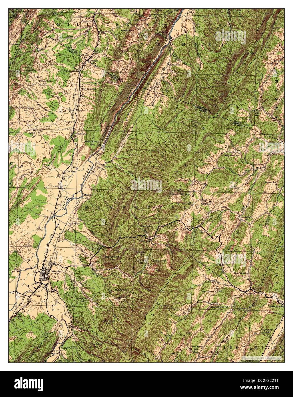 Moorefield, West Virginia, map 1945, 1:62500, United States of America by Timeless Maps, data U.S. Geological Survey Stock Photohttps://www.alamy.com/image-license-details/?v=1https://www.alamy.com/moorefield-west-virginia-map-1945-162500-united-states-of-america-by-timeless-maps-data-us-geological-survey-image414323668.html
RM2F2221T–Moorefield, West Virginia, map 1945, 1:62500, United States of America by Timeless Maps, data U.S. Geological Survey
 . Climatological data, West Virginia. T T TT T 1.01 MOOREFIELD MC NEILL SNOWFALLSN ON GND 5.0 24.0 6.0 T MORGANTOWN FAA AIRPORT SNOWFALLSN ON GND T 6.0 10.7 7 1.714 9 T6 5 4 T TT T T TT NEW MARTINSVILLE SNOWFALLSN ON GND 6.56 T T TT .3 T T t T OAK HILL SNOWFALLSN ON GND .3 1.52 5.06 4.08 4 1.0 3 PARKERSBURG FAA AIRPORT SNOWFALLSN ON GND T 3.01 T3 T PARKERSBURG WB CITY SNOWFALLSN ON GND 2.5 1.7 3 T2 T 1.0 T T T TT T T PIEDMONT SNOWFALLSN ON GND 24.C2! . 720 14 14 3.017 14 10 8 6 5 4 2 T T PINEVILLE 1 NE SNOWFALLSN ON GND TT 3.03 1.03 T T1 T ROWLESBURG 1 SNOWFALLSN ON GND TT 12.(1 9.0! 21 16 T14 Stock Photohttps://www.alamy.com/image-license-details/?v=1https://www.alamy.com/climatological-data-west-virginia-t-t-tt-t-101-moorefield-mc-neill-snowfallsn-on-gnd-50-240-60-t-morgantown-faa-airport-snowfallsn-on-gnd-t-60-107-7-1714-9-t6-5-4-t-tt-t-t-tt-new-martinsville-snowfallsn-on-gnd-656-t-t-tt-3-t-t-t-t-oak-hill-snowfallsn-on-gnd-3-152-506-408-4-10-3-parkersburg-faa-airport-snowfallsn-on-gnd-t-301-t3-t-parkersburg-wb-city-snowfallsn-on-gnd-25-17-3-t2-t-10-t-t-t-tt-t-t-piedmont-snowfallsn-on-gnd-24c2!-720-14-14-3017-14-10-8-6-5-4-2-t-t-pineville-1-ne-snowfallsn-on-gnd-tt-303-103-t-t1-t-rowlesburg-1-snowfallsn-on-gnd-tt-121-90!-21-16-t14-image336741889.html
RM2AFRWM1–. Climatological data, West Virginia. T T TT T 1.01 MOOREFIELD MC NEILL SNOWFALLSN ON GND 5.0 24.0 6.0 T MORGANTOWN FAA AIRPORT SNOWFALLSN ON GND T 6.0 10.7 7 1.714 9 T6 5 4 T TT T T TT NEW MARTINSVILLE SNOWFALLSN ON GND 6.56 T T TT .3 T T t T OAK HILL SNOWFALLSN ON GND .3 1.52 5.06 4.08 4 1.0 3 PARKERSBURG FAA AIRPORT SNOWFALLSN ON GND T 3.01 T3 T PARKERSBURG WB CITY SNOWFALLSN ON GND 2.5 1.7 3 T2 T 1.0 T T T TT T T PIEDMONT SNOWFALLSN ON GND 24.C2! . 720 14 14 3.017 14 10 8 6 5 4 2 T T PINEVILLE 1 NE SNOWFALLSN ON GND TT 3.03 1.03 T T1 T ROWLESBURG 1 SNOWFALLSN ON GND TT 12.(1 9.0! 21 16 T14
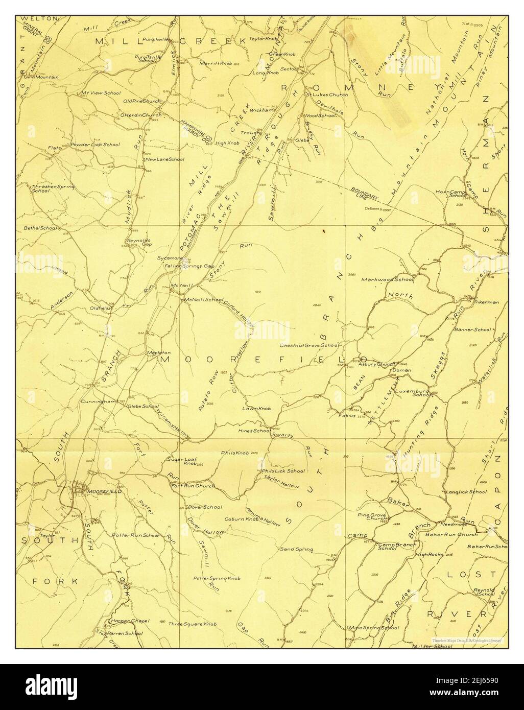 Moorefield, West Virginia, map 1921, 1:48000, United States of America by Timeless Maps, data U.S. Geological Survey Stock Photohttps://www.alamy.com/image-license-details/?v=1https://www.alamy.com/moorefield-west-virginia-map-1921-148000-united-states-of-america-by-timeless-maps-data-us-geological-survey-image407038156.html
RM2EJ6590–Moorefield, West Virginia, map 1921, 1:48000, United States of America by Timeless Maps, data U.S. Geological Survey
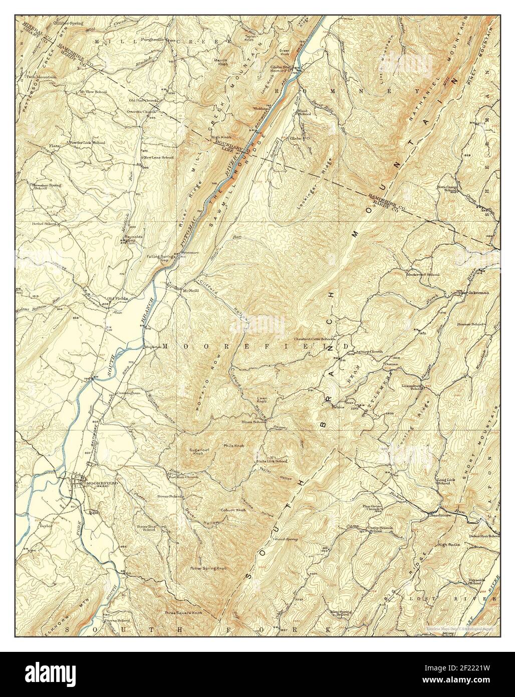 Moorefield, West Virginia, map 1922, 1:62500, United States of America by Timeless Maps, data U.S. Geological Survey Stock Photohttps://www.alamy.com/image-license-details/?v=1https://www.alamy.com/moorefield-west-virginia-map-1922-162500-united-states-of-america-by-timeless-maps-data-us-geological-survey-image414323669.html
RM2F2221W–Moorefield, West Virginia, map 1922, 1:62500, United States of America by Timeless Maps, data U.S. Geological Survey
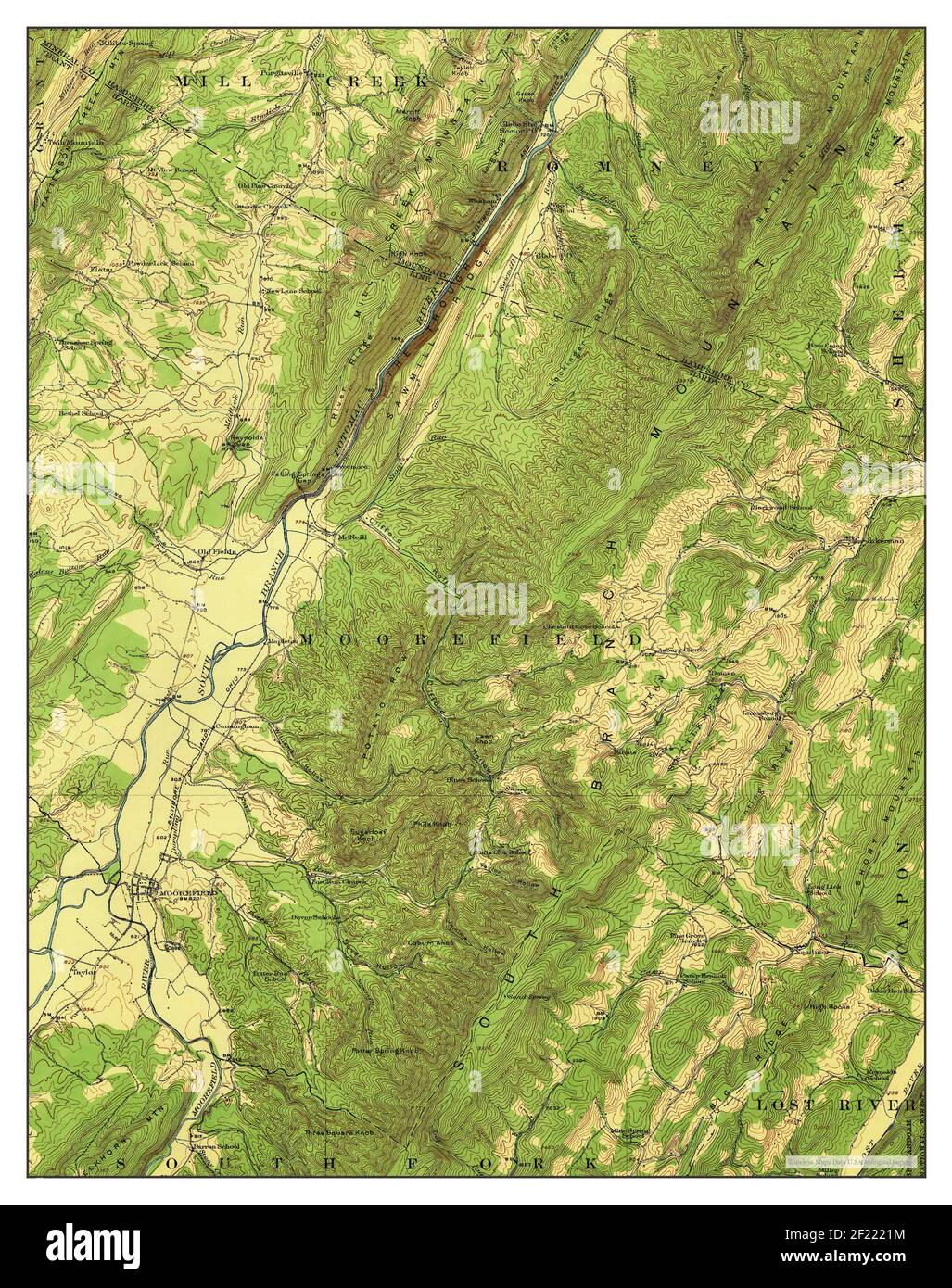 Moorefield, West Virginia, map 1922, 1:62500, United States of America by Timeless Maps, data U.S. Geological Survey Stock Photohttps://www.alamy.com/image-license-details/?v=1https://www.alamy.com/moorefield-west-virginia-map-1922-162500-united-states-of-america-by-timeless-maps-data-us-geological-survey-image414323664.html
RM2F2221M–Moorefield, West Virginia, map 1922, 1:62500, United States of America by Timeless Maps, data U.S. Geological Survey
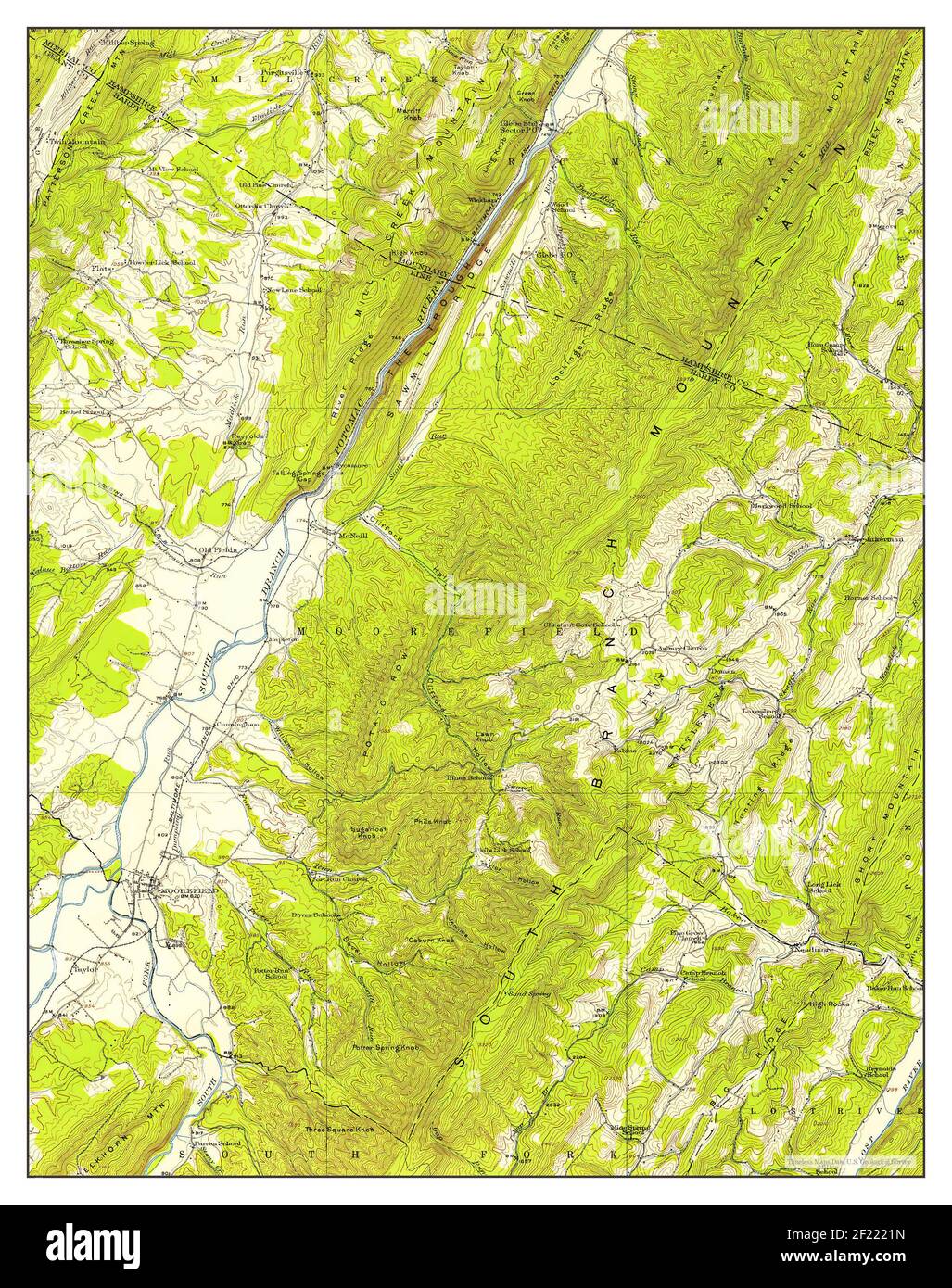 Moorefield, West Virginia, map 1920, 1:62500, United States of America by Timeless Maps, data U.S. Geological Survey Stock Photohttps://www.alamy.com/image-license-details/?v=1https://www.alamy.com/moorefield-west-virginia-map-1920-162500-united-states-of-america-by-timeless-maps-data-us-geological-survey-image414323665.html
RM2F2221N–Moorefield, West Virginia, map 1920, 1:62500, United States of America by Timeless Maps, data U.S. Geological Survey
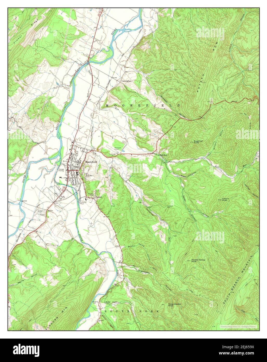 Moorefield, West Virginia, map 1970, 1:24000, United States of America by Timeless Maps, data U.S. Geological Survey Stock Photohttps://www.alamy.com/image-license-details/?v=1https://www.alamy.com/moorefield-west-virginia-map-1970-124000-united-states-of-america-by-timeless-maps-data-us-geological-survey-image407038182.html
RM2EJ659X–Moorefield, West Virginia, map 1970, 1:24000, United States of America by Timeless Maps, data U.S. Geological Survey
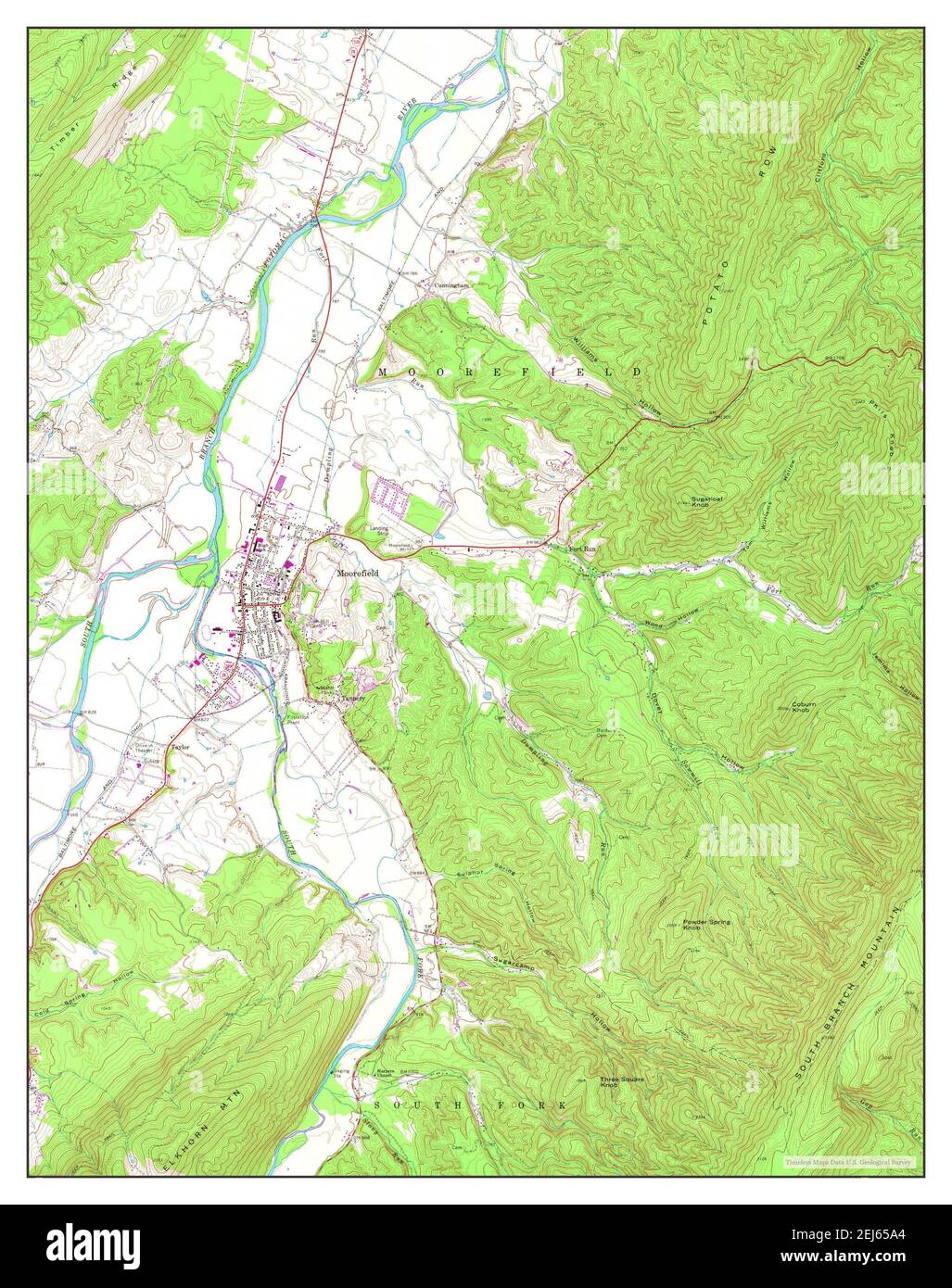 Moorefield, West Virginia, map 1970, 1:24000, United States of America by Timeless Maps, data U.S. Geological Survey Stock Photohttps://www.alamy.com/image-license-details/?v=1https://www.alamy.com/moorefield-west-virginia-map-1970-124000-united-states-of-america-by-timeless-maps-data-us-geological-survey-image407038188.html
RM2EJ65A4–Moorefield, West Virginia, map 1970, 1:24000, United States of America by Timeless Maps, data U.S. Geological Survey
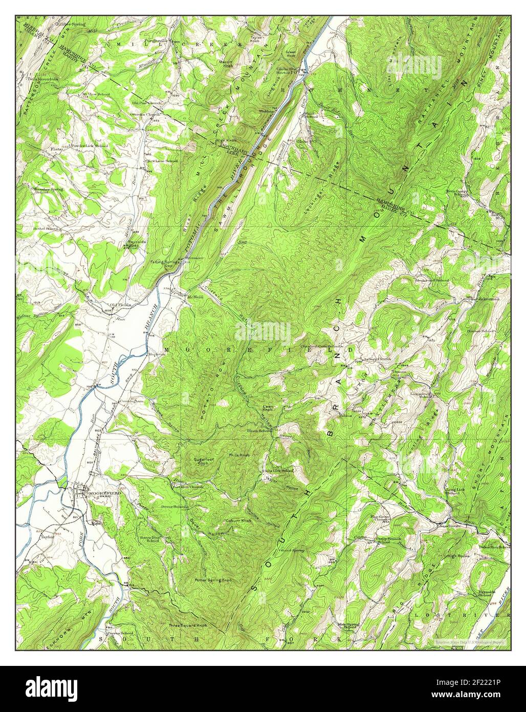 Moorefield, West Virginia, map 1920, 1:62500, United States of America by Timeless Maps, data U.S. Geological Survey Stock Photohttps://www.alamy.com/image-license-details/?v=1https://www.alamy.com/moorefield-west-virginia-map-1920-162500-united-states-of-america-by-timeless-maps-data-us-geological-survey-image414323666.html
RM2F2221P–Moorefield, West Virginia, map 1920, 1:62500, United States of America by Timeless Maps, data U.S. Geological Survey