Quick filters:
Pearsall map Stock Photos and Images
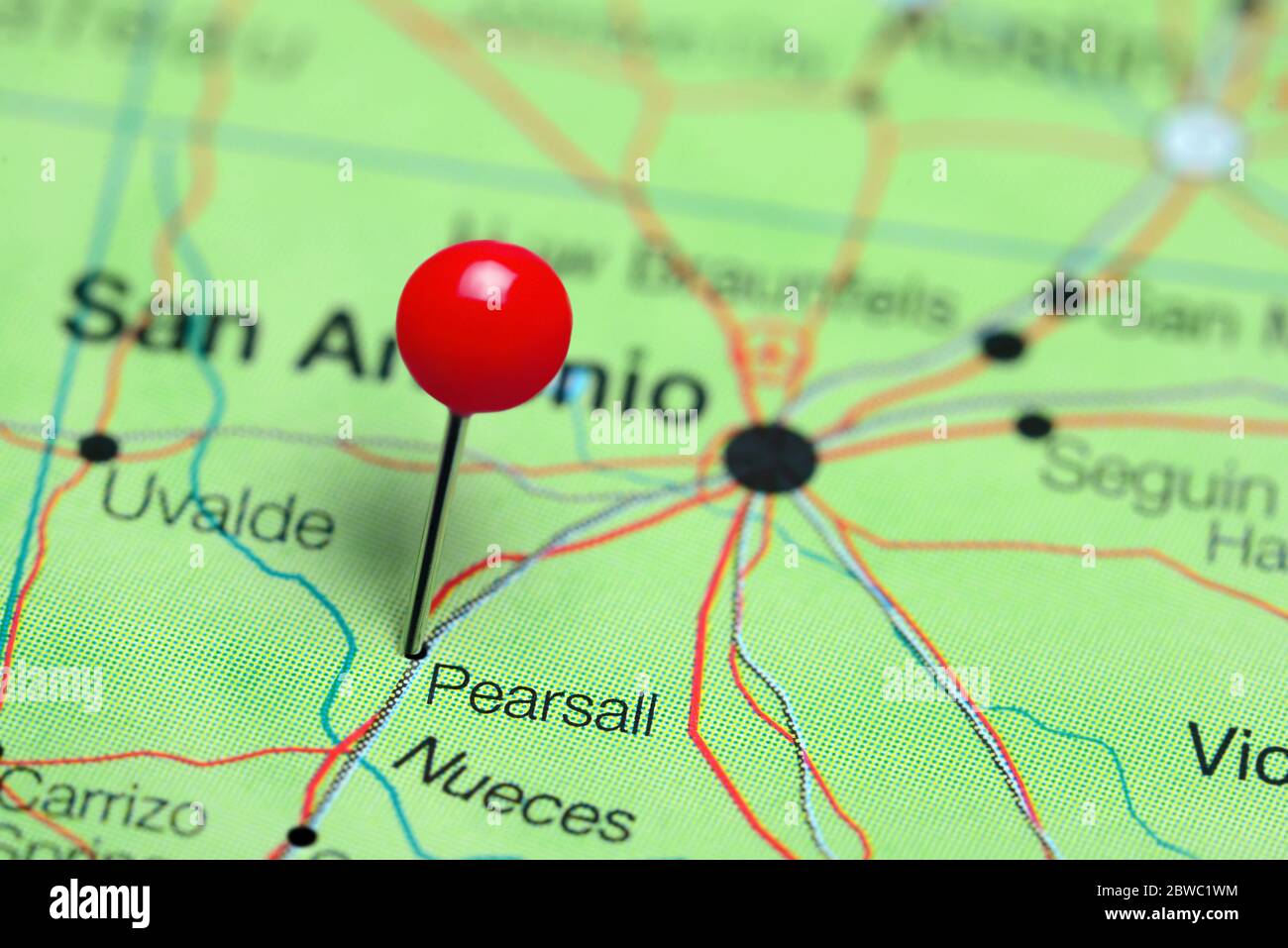 Pearsall pinned on a map of Texas, USA Stock Photohttps://www.alamy.com/image-license-details/?v=1https://www.alamy.com/pearsall-pinned-on-a-map-of-texas-usa-image359838688.html
RF2BWC1WM–Pearsall pinned on a map of Texas, USA
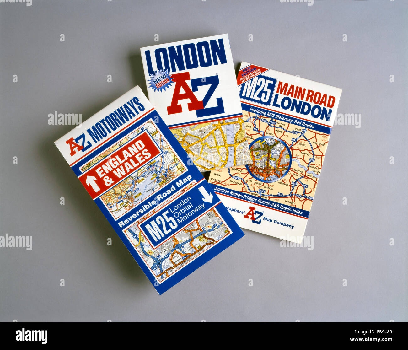 A to Z maps and map books - London and M25 Stock Photohttps://www.alamy.com/image-license-details/?v=1https://www.alamy.com/stock-photo-a-to-z-maps-and-map-books-london-and-m25-93014007.html
RMFB948R–A to Z maps and map books - London and M25
 Pearsall, Wanneroo, AU, Australia, Western Australia, S 31 46' 52'', N 115 49' 5'', map, Cartascapes Map published in 2024. Explore Cartascapes, a map revealing Earth's diverse landscapes, cultures, and ecosystems. Journey through time and space, discovering the interconnectedness of our planet's past, present, and future. Stock Photohttps://www.alamy.com/image-license-details/?v=1https://www.alamy.com/pearsall-wanneroo-au-australia-western-australia-s-31-46-52-n-115-49-5-map-cartascapes-map-published-in-2024-explore-cartascapes-a-map-revealing-earths-diverse-landscapes-cultures-and-ecosystems-journey-through-time-and-space-discovering-the-interconnectedness-of-our-planets-past-present-and-future-image625830591.html
RM2YA518F–Pearsall, Wanneroo, AU, Australia, Western Australia, S 31 46' 52'', N 115 49' 5'', map, Cartascapes Map published in 2024. Explore Cartascapes, a map revealing Earth's diverse landscapes, cultures, and ecosystems. Journey through time and space, discovering the interconnectedness of our planet's past, present, and future.
 1858 Smith and Chase Wall Map of Suffolk Couty, Long Island - Geographicus - SuffolkCountyLongIsland-pearsall-1858 Stock Photohttps://www.alamy.com/image-license-details/?v=1https://www.alamy.com/stock-photo-1858-smith-and-chase-wall-map-of-suffolk-couty-long-island-geographicus-139473707.html
RMJ2WG3R–1858 Smith and Chase Wall Map of Suffolk Couty, Long Island - Geographicus - SuffolkCountyLongIsland-pearsall-1858
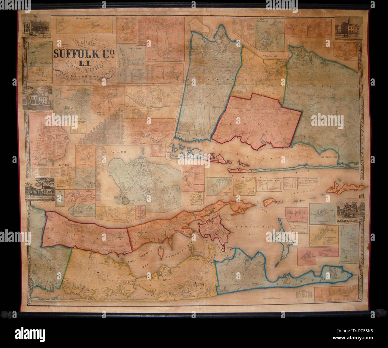 9 1858 Smith and Chase Wall Map of Suffolk Couty, Long Island - Geographicus - SuffolkCountyLongIsland-pearsall-1858 Stock Photohttps://www.alamy.com/image-license-details/?v=1https://www.alamy.com/9-1858-smith-and-chase-wall-map-of-suffolk-couty-long-island-geographicus-suffolkcountylongisland-pearsall-1858-image214210508.html
RMPCE3K8–9 1858 Smith and Chase Wall Map of Suffolk Couty, Long Island - Geographicus - SuffolkCountyLongIsland-pearsall-1858
 1858 Smith and Chase Wall Map of Suffolk Couty, Long Island Geographicus SuffolkCountyLongIsland pearsall 1858 Stock Photohttps://www.alamy.com/image-license-details/?v=1https://www.alamy.com/stock-photo-1858-smith-and-chase-wall-map-of-suffolk-couty-long-island-geographicus-132440023.html
RMHKD4GR–1858 Smith and Chase Wall Map of Suffolk Couty, Long Island Geographicus SuffolkCountyLongIsland pearsall 1858
 1858 Smith and Chase Wall Map of Suffolk Couty, Long Island - Geographicus - SuffolkCountyLongIsland-pearsall-1858. Stock Photohttps://www.alamy.com/image-license-details/?v=1https://www.alamy.com/1858-smith-and-chase-wall-map-of-suffolk-couty-long-island-geographicus-suffolkcountylongisland-pearsall-1858-image210105392.html
RMP5R3G0–1858 Smith and Chase Wall Map of Suffolk Couty, Long Island - Geographicus - SuffolkCountyLongIsland-pearsall-1858.
 Map of 420 Lots on Bronx and Pelham Parkway known as the Pearsall Estate which have got to be sold at an absolute unreserved auction sale to the highest bidder without protection text. Maps, Pamphlets. 1914-05-30. Lionel Pincus and Princess Firyal Map Division. Real property auctions , New York (State) , New York Stock Photohttps://www.alamy.com/image-license-details/?v=1https://www.alamy.com/map-of-420-lots-on-bronx-and-pelham-parkway-known-as-the-pearsall-estate-which-have-got-to-be-sold-at-an-absolute-unreserved-auction-sale-to-the-highest-bidder-without-protection-text-maps-pamphlets-1914-05-30-lionel-pincus-and-princess-firyal-map-division-real-property-auctions-new-york-state-new-york-image484327045.html
RM2K3Y02D–Map of 420 Lots on Bronx and Pelham Parkway known as the Pearsall Estate which have got to be sold at an absolute unreserved auction sale to the highest bidder without protection text. Maps, Pamphlets. 1914-05-30. Lionel Pincus and Princess Firyal Map Division. Real property auctions , New York (State) , New York
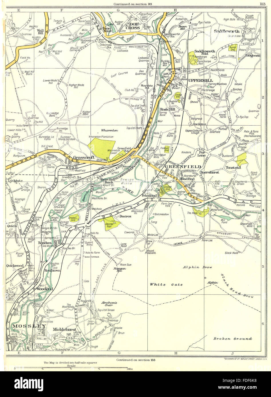 LANCASHIRE Mossley Micklehurst Woodend Greenfield Uppermill Dobcross 1935 map Stock Photohttps://www.alamy.com/image-license-details/?v=1https://www.alamy.com/stock-photo-lancashire-mossley-micklehurst-woodend-greenfield-uppermill-dobcross-94376892.html
RFFDF6K8–LANCASHIRE Mossley Micklehurst Woodend Greenfield Uppermill Dobcross 1935 map
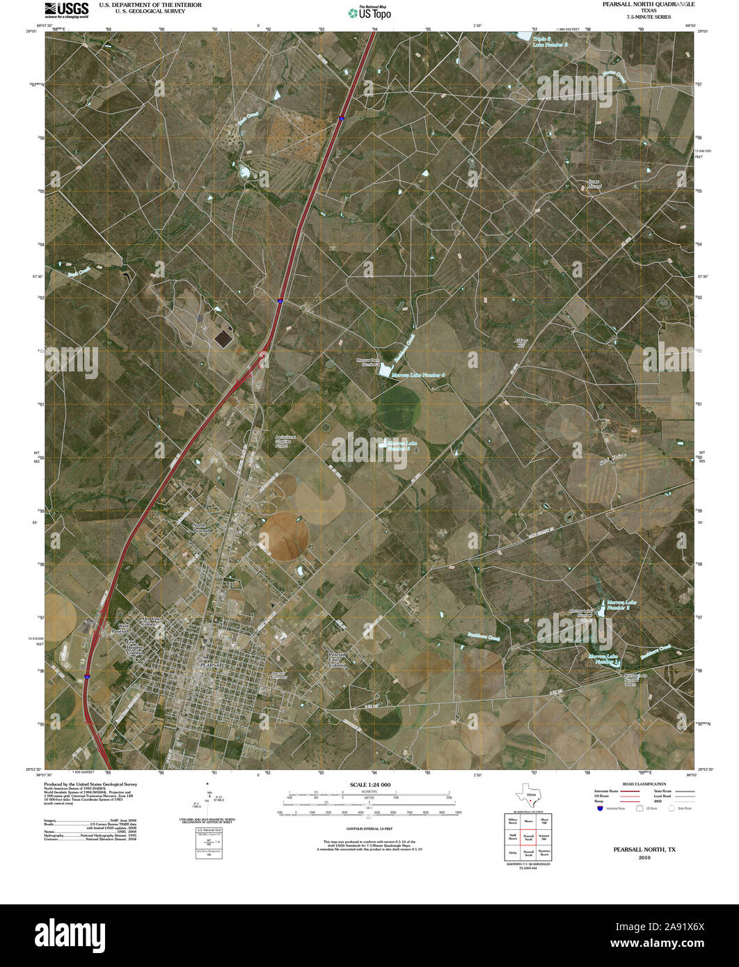 USGS TOPO Map Texas TX Pearsall North 20100514 TM Restoration Stock Photohttps://www.alamy.com/image-license-details/?v=1https://www.alamy.com/usgs-topo-map-texas-tx-pearsall-north-20100514-tm-restoration-image332571426.html
RM2A91X6X–USGS TOPO Map Texas TX Pearsall North 20100514 TM Restoration
 Pearsall, Wanneroo, AU, Australia, Western Australia, S 31 46' 52'', N 115 49' 5'', map, Cartascapes Map published in 2024. Explore Cartascapes, a map revealing Earth's diverse landscapes, cultures, and ecosystems. Journey through time and space, discovering the interconnectedness of our planet's past, present, and future. Stock Photohttps://www.alamy.com/image-license-details/?v=1https://www.alamy.com/pearsall-wanneroo-au-australia-western-australia-s-31-46-52-n-115-49-5-map-cartascapes-map-published-in-2024-explore-cartascapes-a-map-revealing-earths-diverse-landscapes-cultures-and-ecosystems-journey-through-time-and-space-discovering-the-interconnectedness-of-our-planets-past-present-and-future-image625465083.html
RM2Y9GB2K–Pearsall, Wanneroo, AU, Australia, Western Australia, S 31 46' 52'', N 115 49' 5'', map, Cartascapes Map published in 2024. Explore Cartascapes, a map revealing Earth's diverse landscapes, cultures, and ecosystems. Journey through time and space, discovering the interconnectedness of our planet's past, present, and future.
 Batter and pitcher, Two modeled figures photographed by Pearsall, Brooklyn (NYPL b13537024-56325) Stock Photohttps://www.alamy.com/image-license-details/?v=1https://www.alamy.com/stock-photo-batter-and-pitcher-two-modeled-figures-photographed-by-pearsall-brooklyn-139561368.html
RMJ31FXG–Batter and pitcher, Two modeled figures photographed by Pearsall, Brooklyn (NYPL b13537024-56325)
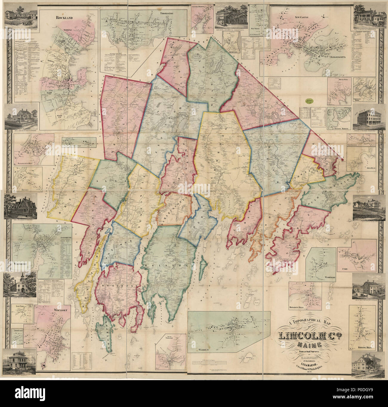 . English: LC Land ownership maps, 270 'Entered according to act of Congress in the year 1857 by Robert Pearsall Smith...' Includes 24 local maps, indexes and insets. Available also through the Library of Congress Web site as a raster image. LC copy signed on verso by Robert Pearsall Smith. . A topographical map of Lincoln Co. Maine : from actual surveys. 1857. Hopkins, Griffith Morgan; Smith, Robert Pearsall 221 A topographical map of Lincoln Co. Maine - from actual surveys LOC 2011589601 Stock Photohttps://www.alamy.com/image-license-details/?v=1https://www.alamy.com/english-lc-land-ownership-maps-270-entered-according-to-act-of-congress-in-the-year-1857-by-robert-pearsall-smith-includes-24-local-maps-indexes-and-insets-available-also-through-the-library-of-congress-web-site-as-a-raster-image-lc-copy-signed-on-verso-by-robert-pearsall-smith-a-topographical-map-of-lincoln-co-maine-from-actual-surveys-1857-hopkins-griffith-morgan-smith-robert-pearsall-221-a-topographical-map-of-lincoln-co-maine-from-actual-surveys-loc-2011589601-image206823101.html
RMP0DGY9–. English: LC Land ownership maps, 270 'Entered according to act of Congress in the year 1857 by Robert Pearsall Smith...' Includes 24 local maps, indexes and insets. Available also through the Library of Congress Web site as a raster image. LC copy signed on verso by Robert Pearsall Smith. . A topographical map of Lincoln Co. Maine : from actual surveys. 1857. Hopkins, Griffith Morgan; Smith, Robert Pearsall 221 A topographical map of Lincoln Co. Maine - from actual surveys LOC 2011589601
 1858 Smith and Chase Wall Map of Suffolk Couty, Long Island Geographicus SuffolkCountyLongIsland pearsall 1858 Stock Photohttps://www.alamy.com/image-license-details/?v=1https://www.alamy.com/stock-photo-1858-smith-and-chase-wall-map-of-suffolk-couty-long-island-geographicus-136447166.html
RMHWYKN2–1858 Smith and Chase Wall Map of Suffolk Couty, Long Island Geographicus SuffolkCountyLongIsland pearsall 1858
 Hudson County, V. 1, Double Page Plate No. 22 Map bounded by Woodlawn Ave., Ocean Ave., Pearsall Ave., Newark Bay, West Side Ave. Cartographic. Atlases, Maps. 1908 - 1909. Lionel Pincus and Princess Firyal Map Division. Jersey City (N.J.), Hudson County (N.J.) Stock Photohttps://www.alamy.com/image-license-details/?v=1https://www.alamy.com/hudson-county-v-1-double-page-plate-no-22-map-bounded-by-woodlawn-ave-ocean-ave-pearsall-ave-newark-bay-west-side-ave-cartographic-atlases-maps-1908-1909-lionel-pincus-and-princess-firyal-map-division-jersey-city-nj-hudson-county-nj-image484317099.html
RM2K3XFB7–Hudson County, V. 1, Double Page Plate No. 22 Map bounded by Woodlawn Ave., Ocean Ave., Pearsall Ave., Newark Bay, West Side Ave. Cartographic. Atlases, Maps. 1908 - 1909. Lionel Pincus and Princess Firyal Map Division. Jersey City (N.J.), Hudson County (N.J.)
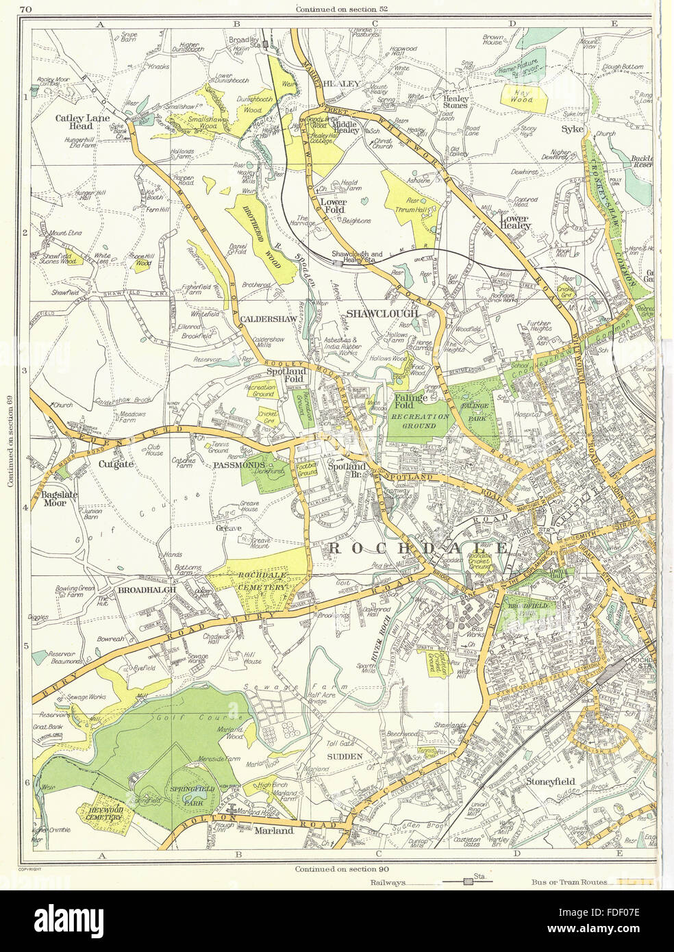 ROCHDALE Shawclough Marland Stoneyfield Broadhalgh Caldershaw 1935 old map Stock Photohttps://www.alamy.com/image-license-details/?v=1https://www.alamy.com/stock-photo-rochdale-shawclough-marland-stoneyfield-broadhalgh-caldershaw-1935-94371858.html
RFFDF07E–ROCHDALE Shawclough Marland Stoneyfield Broadhalgh Caldershaw 1935 old map
 USGS TOPO Map Texas TX Pearsall South 20130103 TM Restoration Stock Photohttps://www.alamy.com/image-license-details/?v=1https://www.alamy.com/usgs-topo-map-texas-tx-pearsall-south-20130103-tm-restoration-image332571428.html
RM2A91X70–USGS TOPO Map Texas TX Pearsall South 20130103 TM Restoration
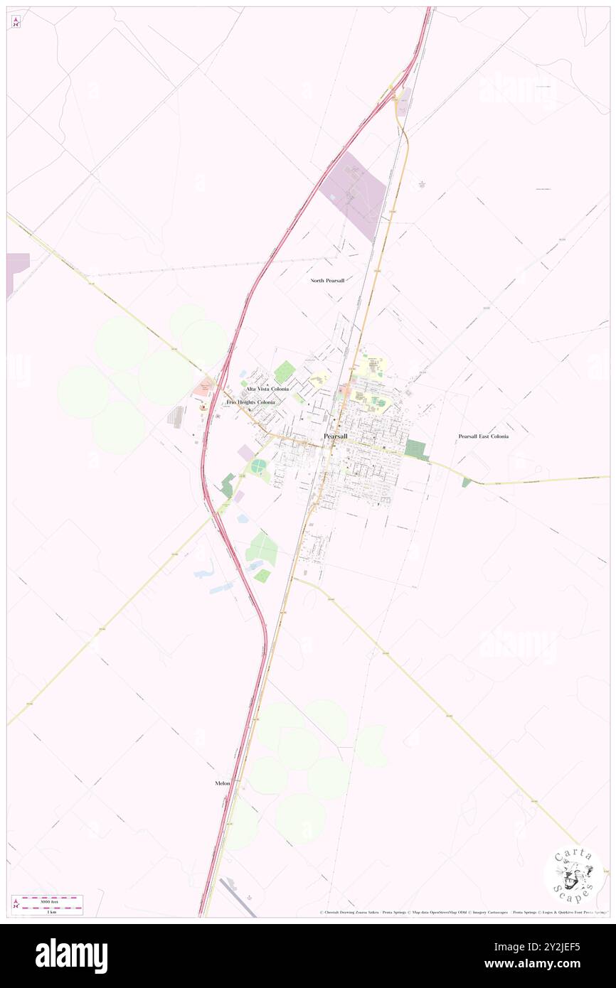 Pearsall, Frio County, US, United States, Texas, N 28 53' 31'', S 99 5' 42'', map, Cartascapes Map published in 2024. Explore Cartascapes, a map revealing Earth's diverse landscapes, cultures, and ecosystems. Journey through time and space, discovering the interconnectedness of our planet's past, present, and future. Stock Photohttps://www.alamy.com/image-license-details/?v=1https://www.alamy.com/pearsall-frio-county-us-united-states-texas-n-28-53-31-s-99-5-42-map-cartascapes-map-published-in-2024-explore-cartascapes-a-map-revealing-earths-diverse-landscapes-cultures-and-ecosystems-journey-through-time-and-space-discovering-the-interconnectedness-of-our-planets-past-present-and-future-image621209097.html
RM2Y2JEF5–Pearsall, Frio County, US, United States, Texas, N 28 53' 31'', S 99 5' 42'', map, Cartascapes Map published in 2024. Explore Cartascapes, a map revealing Earth's diverse landscapes, cultures, and ecosystems. Journey through time and space, discovering the interconnectedness of our planet's past, present, and future.
 Excelsiors of Brooklyn, E., 1860, Raynolds, J. Whiting, Creighton, Polhemus, Pearsall, Russell, Leggett, Brainard, Flanly (NYPL b13537024-56553) Stock Photohttps://www.alamy.com/image-license-details/?v=1https://www.alamy.com/stock-photo-excelsiors-of-brooklyn-e-1860-raynolds-j-whiting-creighton-polhemus-148529608.html
RMJHJ30T–Excelsiors of Brooklyn, E., 1860, Raynolds, J. Whiting, Creighton, Polhemus, Pearsall, Russell, Leggett, Brainard, Flanly (NYPL b13537024-56553)
 Leigh M Pearsall and daughter Edna with alligator on dock 33038715044 o Stock Photohttps://www.alamy.com/image-license-details/?v=1https://www.alamy.com/stock-photo-leigh-m-pearsall-and-daughter-edna-with-alligator-on-dock-33038715044-147110993.html
RMJF9DG1–Leigh M Pearsall and daughter Edna with alligator on dock 33038715044 o
 Cartographic, Maps. 1918. Lionel Pincus and Princess Firyal Map Division. Fire insurance , New York (State), Real property , New York (State), Cities & towns , New York (State) Bronx, V. 18, Plate No. 58 Map bounded by Needham Ave., Corsa Ave., Givan Ave., Pearsall Ave. Stock Photohttps://www.alamy.com/image-license-details/?v=1https://www.alamy.com/cartographic-maps-1918-lionel-pincus-and-princess-firyal-map-division-fire-insurance-new-york-state-real-property-new-york-state-cities-towns-new-york-state-bronx-v-18-plate-no-58-map-bounded-by-needham-ave-corsa-ave-givan-ave-pearsall-ave-image483565133.html
RM2K2M879–Cartographic, Maps. 1918. Lionel Pincus and Princess Firyal Map Division. Fire insurance , New York (State), Real property , New York (State), Cities & towns , New York (State) Bronx, V. 18, Plate No. 58 Map bounded by Needham Ave., Corsa Ave., Givan Ave., Pearsall Ave.
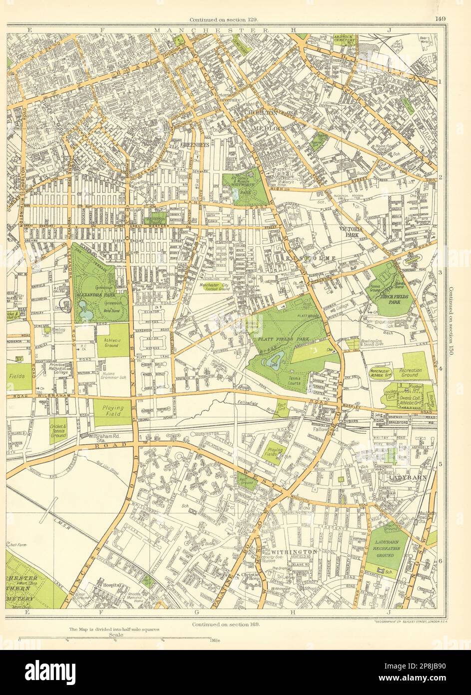 MANCHESTER Withington Ladybarn Chorlton Medlock Greenheys Rusholme 1935 map Stock Photohttps://www.alamy.com/image-license-details/?v=1https://www.alamy.com/manchester-withington-ladybarn-chorlton-medlock-greenheys-rusholme-1935-map-image538842668.html
RF2P8JB90–MANCHESTER Withington Ladybarn Chorlton Medlock Greenheys Rusholme 1935 map
 USGS TOPO Map Texas TX Pearsall South 20100514 TM Restoration Stock Photohttps://www.alamy.com/image-license-details/?v=1https://www.alamy.com/usgs-topo-map-texas-tx-pearsall-south-20100514-tm-restoration-image332571491.html
RM2A91X97–USGS TOPO Map Texas TX Pearsall South 20100514 TM Restoration
 Pearsall Gardens, Madison County, US, United States, Alabama, N 34 45' 10'', S 86 35' 34'', map, Cartascapes Map published in 2024. Explore Cartascapes, a map revealing Earth's diverse landscapes, cultures, and ecosystems. Journey through time and space, discovering the interconnectedness of our planet's past, present, and future. Stock Photohttps://www.alamy.com/image-license-details/?v=1https://www.alamy.com/pearsall-gardens-madison-county-us-united-states-alabama-n-34-45-10-s-86-35-34-map-cartascapes-map-published-in-2024-explore-cartascapes-a-map-revealing-earths-diverse-landscapes-cultures-and-ecosystems-journey-through-time-and-space-discovering-the-interconnectedness-of-our-planets-past-present-and-future-image621399416.html
RM2Y2Y588–Pearsall Gardens, Madison County, US, United States, Alabama, N 34 45' 10'', S 86 35' 34'', map, Cartascapes Map published in 2024. Explore Cartascapes, a map revealing Earth's diverse landscapes, cultures, and ecosystems. Journey through time and space, discovering the interconnectedness of our planet's past, present, and future.
 Cartographic, Maps. 1884 - 1936. Lionel Pincus and Princess Firyal Map Division. Fire insurance , New York (State), Real property , New York (State), Cities & towns , New York (State) Staten Island, V. 1, Plate No. 72 Map bounded by Richmond Ave., Sand Lane, Agnes Pl., Pearsall Stock Photohttps://www.alamy.com/image-license-details/?v=1https://www.alamy.com/cartographic-maps-1884-1936-lionel-pincus-and-princess-firyal-map-division-fire-insurance-new-york-state-real-property-new-york-state-cities-towns-new-york-state-staten-island-v-1-plate-no-72-map-bounded-by-richmond-ave-sand-lane-agnes-pl-pearsall-image483547262.html
RM2K2KDD2–Cartographic, Maps. 1884 - 1936. Lionel Pincus and Princess Firyal Map Division. Fire insurance , New York (State), Real property , New York (State), Cities & towns , New York (State) Staten Island, V. 1, Plate No. 72 Map bounded by Richmond Ave., Sand Lane, Agnes Pl., Pearsall
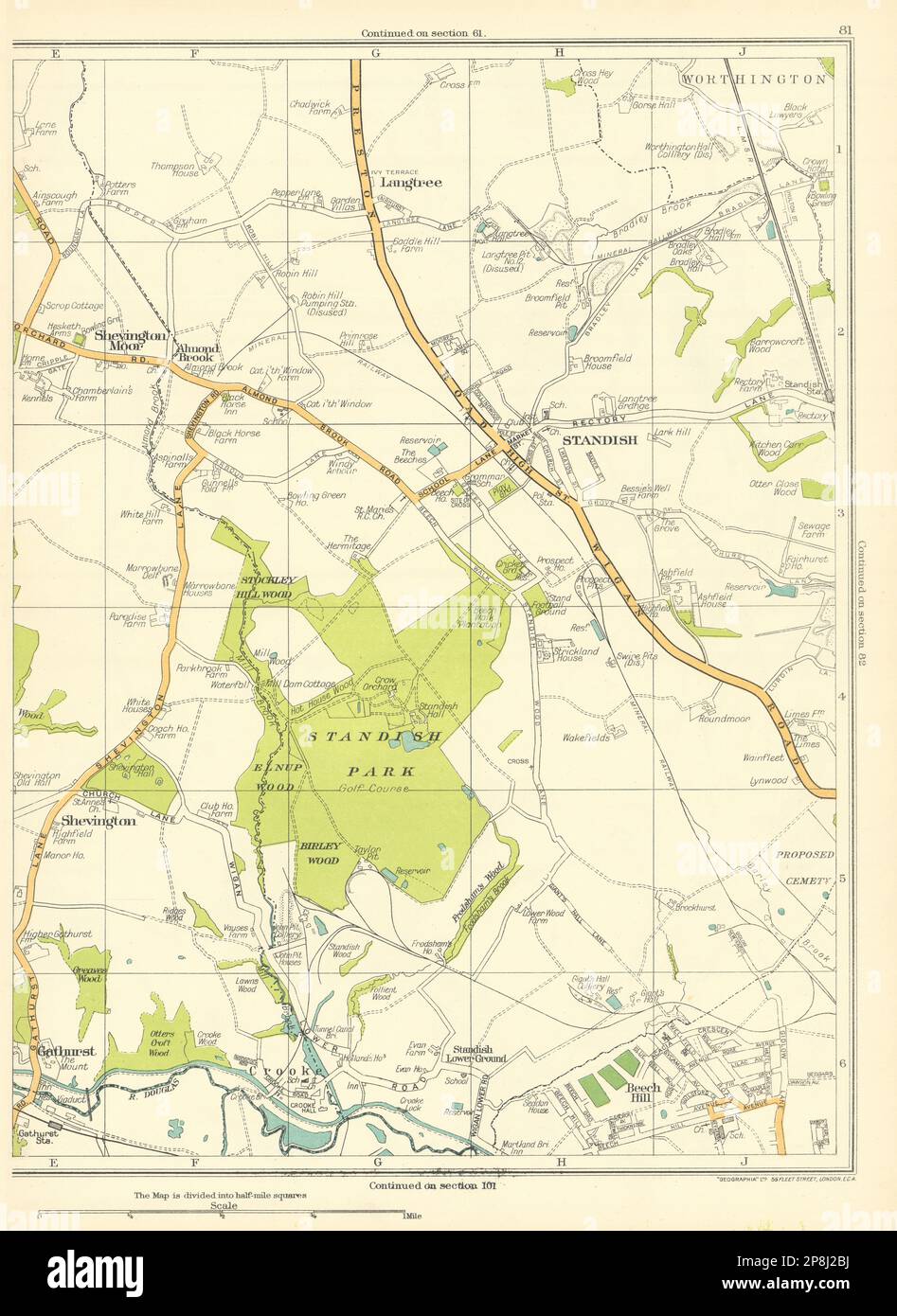 LANCASHIRE Gathurst Shevington Standish Worthington Langtree 1935 old map Stock Photohttps://www.alamy.com/image-license-details/?v=1https://www.alamy.com/lancashire-gathurst-shevington-standish-worthington-langtree-1935-old-map-image538835686.html
RF2P8J2BJ–LANCASHIRE Gathurst Shevington Standish Worthington Langtree 1935 old map
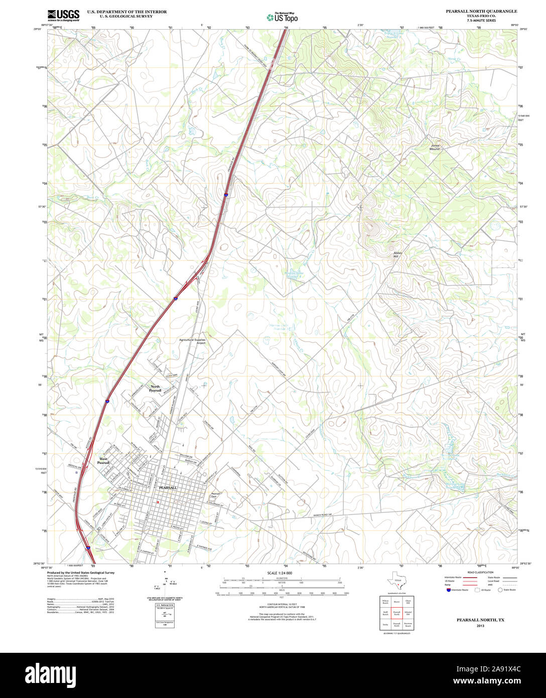 USGS TOPO Map Texas TX Pearsall North 20130108 TM Restoration Stock Photohttps://www.alamy.com/image-license-details/?v=1https://www.alamy.com/usgs-topo-map-texas-tx-pearsall-north-20130108-tm-restoration-image332571356.html
RM2A91X4C–USGS TOPO Map Texas TX Pearsall North 20130108 TM Restoration
 North Pearsall, Frio County, US, United States, Texas, N 28 54' 53'', S 99 5' 47'', map, Cartascapes Map published in 2024. Explore Cartascapes, a map revealing Earth's diverse landscapes, cultures, and ecosystems. Journey through time and space, discovering the interconnectedness of our planet's past, present, and future. Stock Photohttps://www.alamy.com/image-license-details/?v=1https://www.alamy.com/north-pearsall-frio-county-us-united-states-texas-n-28-54-53-s-99-5-47-map-cartascapes-map-published-in-2024-explore-cartascapes-a-map-revealing-earths-diverse-landscapes-cultures-and-ecosystems-journey-through-time-and-space-discovering-the-interconnectedness-of-our-planets-past-present-and-future-image621248848.html
RM2Y2M96T–North Pearsall, Frio County, US, United States, Texas, N 28 54' 53'', S 99 5' 47'', map, Cartascapes Map published in 2024. Explore Cartascapes, a map revealing Earth's diverse landscapes, cultures, and ecosystems. Journey through time and space, discovering the interconnectedness of our planet's past, present, and future.
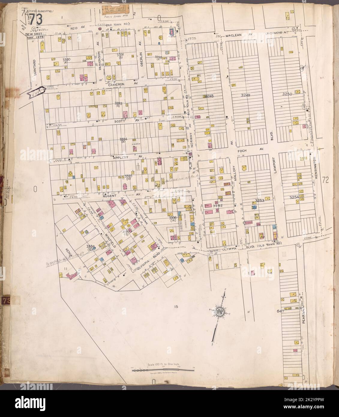 Cartographic, Maps. 1917. Lionel Pincus and Princess Firyal Map Division. Real property , New York (State) , New York, Fire insurance , New York (State) , New York, Staten Island (New York, N.Y.) Staten Island, V. 1, Plate No. 73 Map bounded by Reid Ave., Mc. Clean Ave., Kensington, Pearsall Stock Photohttps://www.alamy.com/image-license-details/?v=1https://www.alamy.com/cartographic-maps-1917-lionel-pincus-and-princess-firyal-map-division-real-property-new-york-state-new-york-fire-insurance-new-york-state-new-york-staten-island-new-york-ny-staten-island-v-1-plate-no-73-map-bounded-by-reid-ave-mc-clean-ave-kensington-pearsall-image483730209.html
RM2K2YPPW–Cartographic, Maps. 1917. Lionel Pincus and Princess Firyal Map Division. Real property , New York (State) , New York, Fire insurance , New York (State) , New York, Staten Island (New York, N.Y.) Staten Island, V. 1, Plate No. 73 Map bounded by Reid Ave., Mc. Clean Ave., Kensington, Pearsall
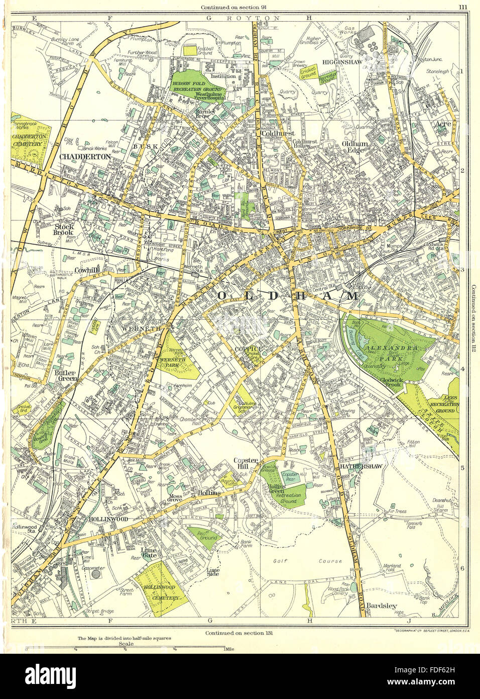 OLDHAM Chadderton Cowhill Hollinwood Copster Hill Coldhurst 1935 map Stock Photohttps://www.alamy.com/image-license-details/?v=1https://www.alamy.com/stock-photo-oldham-chadderton-cowhill-hollinwood-copster-hill-coldhurst-1935-map-94376425.html
RFFDF62H–OLDHAM Chadderton Cowhill Hollinwood Copster Hill Coldhurst 1935 map
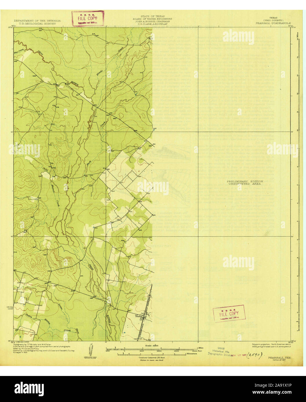 USGS TOPO Map Texas TX Pearsall 128484 1927 62500 Restoration Stock Photohttps://www.alamy.com/image-license-details/?v=1https://www.alamy.com/usgs-topo-map-texas-tx-pearsall-128484-1927-62500-restoration-image332571282.html
RM2A91X1P–USGS TOPO Map Texas TX Pearsall 128484 1927 62500 Restoration
 West Pearsall, Frio County, US, United States, Texas, N 28 53' 54'', S 99 6' 29'', map, Cartascapes Map published in 2024. Explore Cartascapes, a map revealing Earth's diverse landscapes, cultures, and ecosystems. Journey through time and space, discovering the interconnectedness of our planet's past, present, and future. Stock Photohttps://www.alamy.com/image-license-details/?v=1https://www.alamy.com/west-pearsall-frio-county-us-united-states-texas-n-28-53-54-s-99-6-29-map-cartascapes-map-published-in-2024-explore-cartascapes-a-map-revealing-earths-diverse-landscapes-cultures-and-ecosystems-journey-through-time-and-space-discovering-the-interconnectedness-of-our-planets-past-present-and-future-image621438060.html
RM2Y30XGC–West Pearsall, Frio County, US, United States, Texas, N 28 53' 54'', S 99 6' 29'', map, Cartascapes Map published in 2024. Explore Cartascapes, a map revealing Earth's diverse landscapes, cultures, and ecosystems. Journey through time and space, discovering the interconnectedness of our planet's past, present, and future.
 Map of a farm situate in Montrose in the town of North Hempsted, Queens County, state of New York : formerly belonging to Thomas Pearsall Cartographic. Maps. 1839-03-20. Lionel Pincus and Princess Firyal Map Division. New York (N.Y.), Edward H. Ludlow & Co., Landowners , New York (State) , North Hempstead (Town), North Hempstead (N.Y. : Town) , Maps, Pearsall, Thomas , Homes and haunts, Real property , New York (State) , North Hempstead (Town) Stock Photohttps://www.alamy.com/image-license-details/?v=1https://www.alamy.com/map-of-a-farm-situate-in-montrose-in-the-town-of-north-hempsted-queens-county-state-of-new-york-formerly-belonging-to-thomas-pearsall-cartographic-maps-1839-03-20-lionel-pincus-and-princess-firyal-map-division-new-york-ny-edward-h-ludlow-co-landowners-new-york-state-north-hempstead-town-north-hempstead-ny-town-maps-pearsall-thomas-homes-and-haunts-real-property-new-york-state-north-hempstead-town-image484352182.html
RM2K40446–Map of a farm situate in Montrose in the town of North Hempsted, Queens County, state of New York : formerly belonging to Thomas Pearsall Cartographic. Maps. 1839-03-20. Lionel Pincus and Princess Firyal Map Division. New York (N.Y.), Edward H. Ludlow & Co., Landowners , New York (State) , North Hempstead (Town), North Hempstead (N.Y. : Town) , Maps, Pearsall, Thomas , Homes and haunts, Real property , New York (State) , North Hempstead (Town)
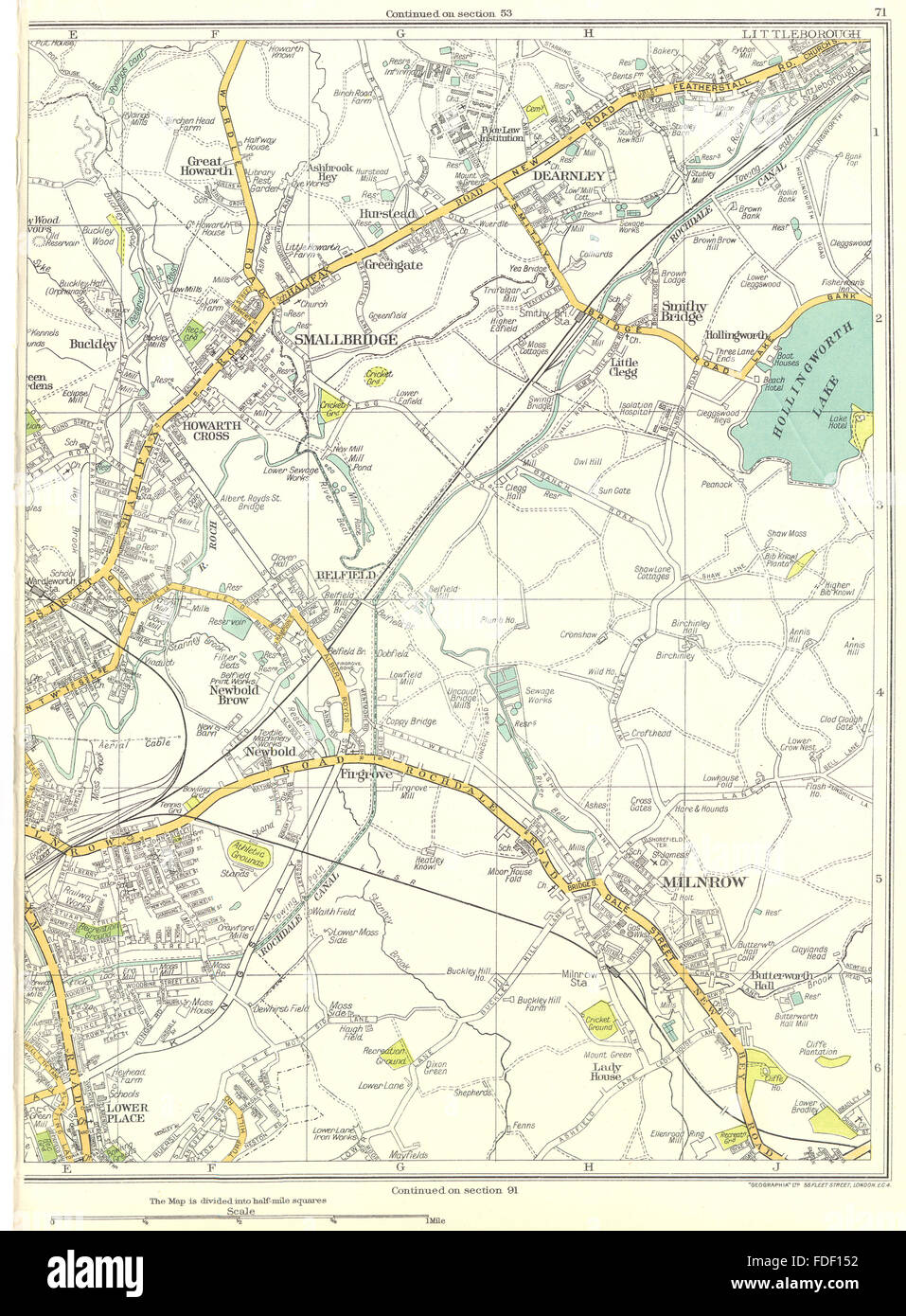 ROCHDALE Milnrow Newbold Brow Smallbridge Dearnley Buckley 1935 map Stock Photohttps://www.alamy.com/image-license-details/?v=1https://www.alamy.com/stock-photo-rochdale-milnrow-newbold-brow-smallbridge-dearnley-buckley-1935-map-94372574.html
RFFDF152–ROCHDALE Milnrow Newbold Brow Smallbridge Dearnley Buckley 1935 map
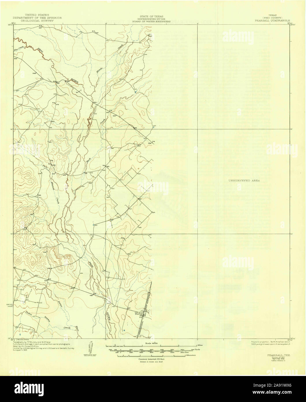 USGS TOPO Map Texas TX Pearsall 115273 1927 62500 Restoration Stock Photohttps://www.alamy.com/image-license-details/?v=1https://www.alamy.com/usgs-topo-map-texas-tx-pearsall-115273-1927-62500-restoration-image332571182.html
RM2A91WX6–USGS TOPO Map Texas TX Pearsall 115273 1927 62500 Restoration
 Pearsall East Colonia, Frio County, US, United States, Texas, N 28 53' 31'', S 99 4' 13'', map, Cartascapes Map published in 2024. Explore Cartascapes, a map revealing Earth's diverse landscapes, cultures, and ecosystems. Journey through time and space, discovering the interconnectedness of our planet's past, present, and future. Stock Photohttps://www.alamy.com/image-license-details/?v=1https://www.alamy.com/pearsall-east-colonia-frio-county-us-united-states-texas-n-28-53-31-s-99-4-13-map-cartascapes-map-published-in-2024-explore-cartascapes-a-map-revealing-earths-diverse-landscapes-cultures-and-ecosystems-journey-through-time-and-space-discovering-the-interconnectedness-of-our-planets-past-present-and-future-image621386427.html
RM2Y2XGMB–Pearsall East Colonia, Frio County, US, United States, Texas, N 28 53' 31'', S 99 4' 13'', map, Cartascapes Map published in 2024. Explore Cartascapes, a map revealing Earth's diverse landscapes, cultures, and ecosystems. Journey through time and space, discovering the interconnectedness of our planet's past, present, and future.
 Cartographic, Maps. 1908 - 1913. Lionel Pincus and Princess Firyal Map Division. Queens (New York, N.Y.), Long Island City (New York, N.Y.) Queens, Vol. 3, Double Page Plate No. 16; Part of ward Three Bayside; Map bounded by Bell Ave., Little Bayside Road, Shore Ave., Kneeland Ave., Bayside Ave., Bradish Ave., Nicoll Ave., Vista Ave., Cracheron Ave., Waldo Ave., Castor Ave., Franklin Ave.; Including Willetts St., Bowne St., Titus St., Pearsall St. Stock Photohttps://www.alamy.com/image-license-details/?v=1https://www.alamy.com/cartographic-maps-1908-1913-lionel-pincus-and-princess-firyal-map-division-queens-new-york-ny-long-island-city-new-york-ny-queens-vol-3-double-page-plate-no-16-part-of-ward-three-bayside-map-bounded-by-bell-ave-little-bayside-road-shore-ave-kneeland-ave-bayside-ave-bradish-ave-nicoll-ave-vista-ave-cracheron-ave-waldo-ave-castor-ave-franklin-ave-including-willetts-st-bowne-st-titus-st-pearsall-st-image483572522.html
RM2K2MHK6–Cartographic, Maps. 1908 - 1913. Lionel Pincus and Princess Firyal Map Division. Queens (New York, N.Y.), Long Island City (New York, N.Y.) Queens, Vol. 3, Double Page Plate No. 16; Part of ward Three Bayside; Map bounded by Bell Ave., Little Bayside Road, Shore Ave., Kneeland Ave., Bayside Ave., Bradish Ave., Nicoll Ave., Vista Ave., Cracheron Ave., Waldo Ave., Castor Ave., Franklin Ave.; Including Willetts St., Bowne St., Titus St., Pearsall St.
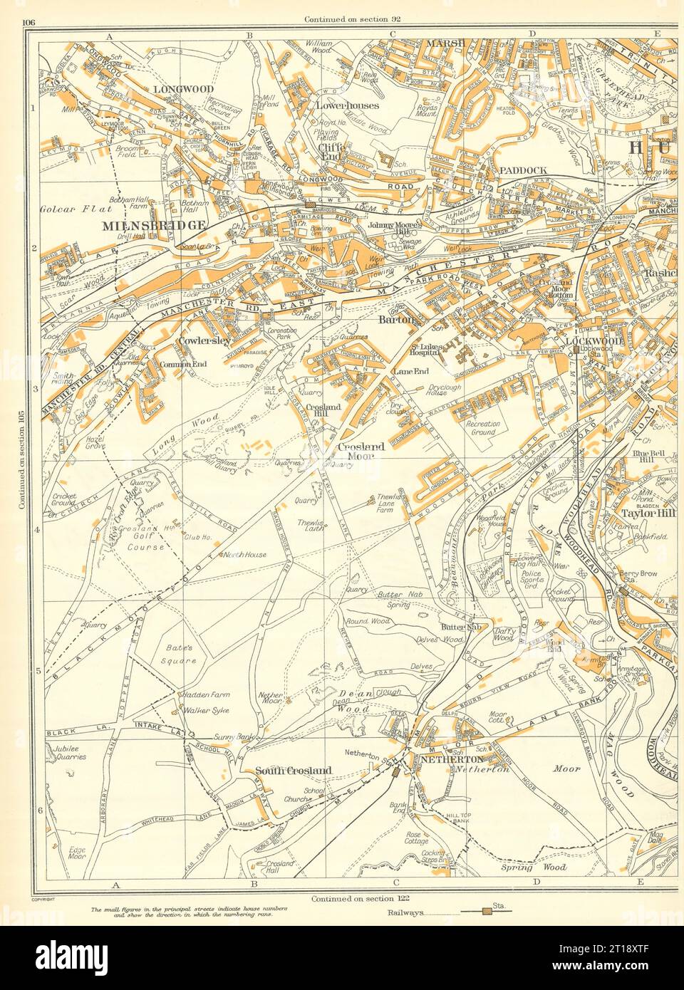 HUDDERSFIELD Milnsbridge Longwood Netherton Paddock Lockwood Barton 1935 map Stock Photohttps://www.alamy.com/image-license-details/?v=1https://www.alamy.com/huddersfield-milnsbridge-longwood-netherton-paddock-lockwood-barton-1935-map-image568753487.html
RF2T18XTF–HUDDERSFIELD Milnsbridge Longwood Netherton Paddock Lockwood Barton 1935 map
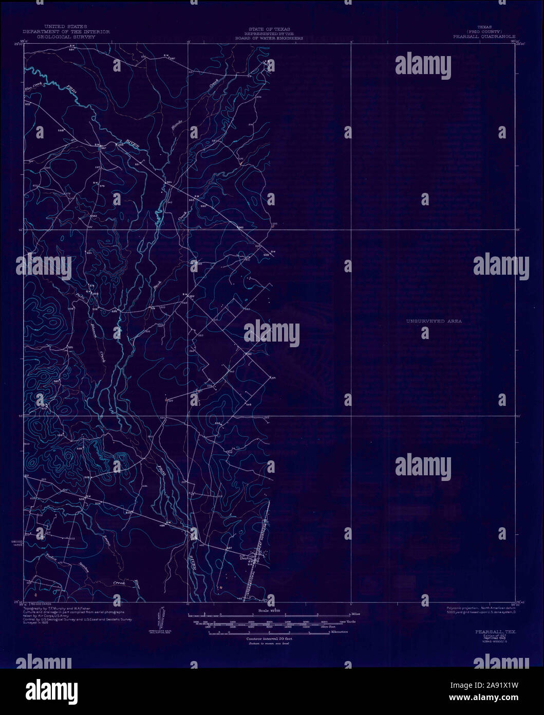 USGS TOPO Map Texas TX Pearsall 115273 1927 62500 Inverted Restoration Stock Photohttps://www.alamy.com/image-license-details/?v=1https://www.alamy.com/usgs-topo-map-texas-tx-pearsall-115273-1927-62500-inverted-restoration-image332571285.html
RM2A91X1W–USGS TOPO Map Texas TX Pearsall 115273 1927 62500 Inverted Restoration
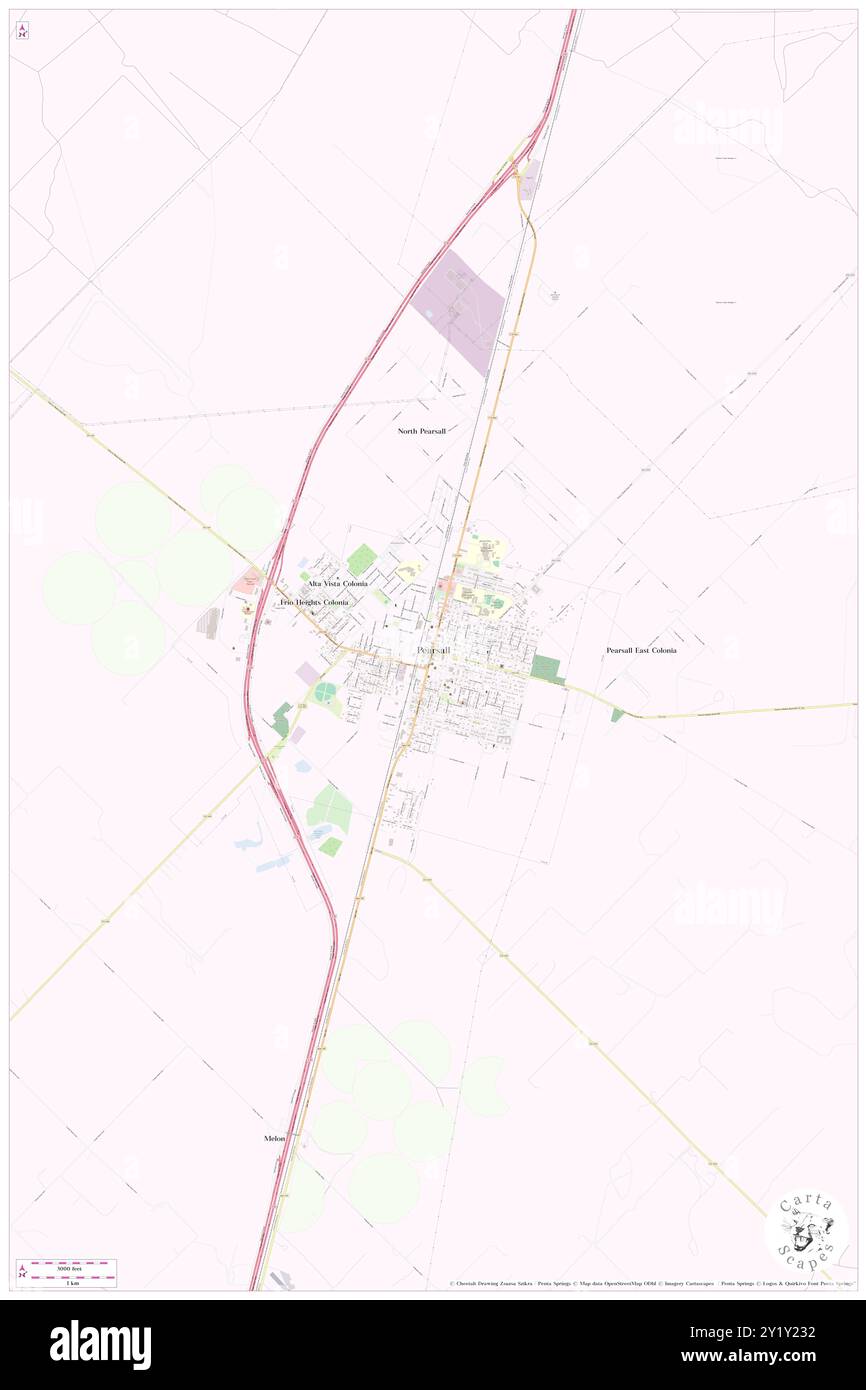 Pearsall, Frio County, US, United States, Texas, N 28 53' 31'', S 99 5' 42'', map, Cartascapes Map published in 2024. Explore Cartascapes, a map revealing Earth's diverse landscapes, cultures, and ecosystems. Journey through time and space, discovering the interconnectedness of our planet's past, present, and future. Stock Photohttps://www.alamy.com/image-license-details/?v=1https://www.alamy.com/pearsall-frio-county-us-united-states-texas-n-28-53-31-s-99-5-42-map-cartascapes-map-published-in-2024-explore-cartascapes-a-map-revealing-earths-diverse-landscapes-cultures-and-ecosystems-journey-through-time-and-space-discovering-the-interconnectedness-of-our-planets-past-present-and-future-image620782262.html
RM2Y1Y232–Pearsall, Frio County, US, United States, Texas, N 28 53' 31'', S 99 5' 42'', map, Cartascapes Map published in 2024. Explore Cartascapes, a map revealing Earth's diverse landscapes, cultures, and ecosystems. Journey through time and space, discovering the interconnectedness of our planet's past, present, and future.
 Gillette's map of Livingston Co., New York : from actual surveys. Relief shown by hachures. Shows landowners. 'Entered according to Act of Congress in the year 1858 by Robert Pearsall Smith in the clerk's office of the district court of the eastern district of Pennsylvania.' Includes ill., table of distances, business directories for some towns and 25 local maps.... , New York , Livingston ,county Stock Photohttps://www.alamy.com/image-license-details/?v=1https://www.alamy.com/gillettes-map-of-livingston-co-new-york-from-actual-surveys-relief-shown-by-hachures-shows-landowners-entered-according-to-act-of-congress-in-the-year-1858-by-robert-pearsall-smith-in-the-clerks-office-of-the-district-court-of-the-eastern-district-of-pennsylvania-includes-ill-table-of-distances-business-directories-for-some-towns-and-25-local-maps-new-york-livingston-county-image502686717.html
RM2M5RA11–Gillette's map of Livingston Co., New York : from actual surveys. Relief shown by hachures. Shows landowners. 'Entered according to Act of Congress in the year 1858 by Robert Pearsall Smith in the clerk's office of the district court of the eastern district of Pennsylvania.' Includes ill., table of distances, business directories for some towns and 25 local maps.... , New York , Livingston ,county
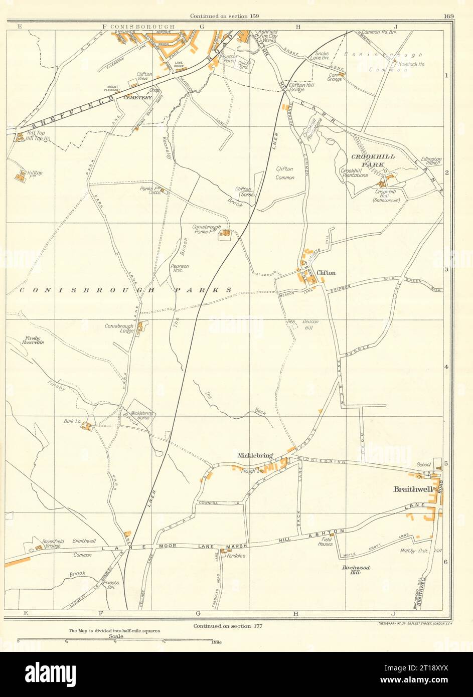 YORKSHIRE Conisbrough Parks Crookhill Micklebring Braithwell Clifton 1935 map Stock Photohttps://www.alamy.com/image-license-details/?v=1https://www.alamy.com/yorkshire-conisbrough-parks-crookhill-micklebring-braithwell-clifton-1935-map-image568753582.html
RF2T18XYX–YORKSHIRE Conisbrough Parks Crookhill Micklebring Braithwell Clifton 1935 map
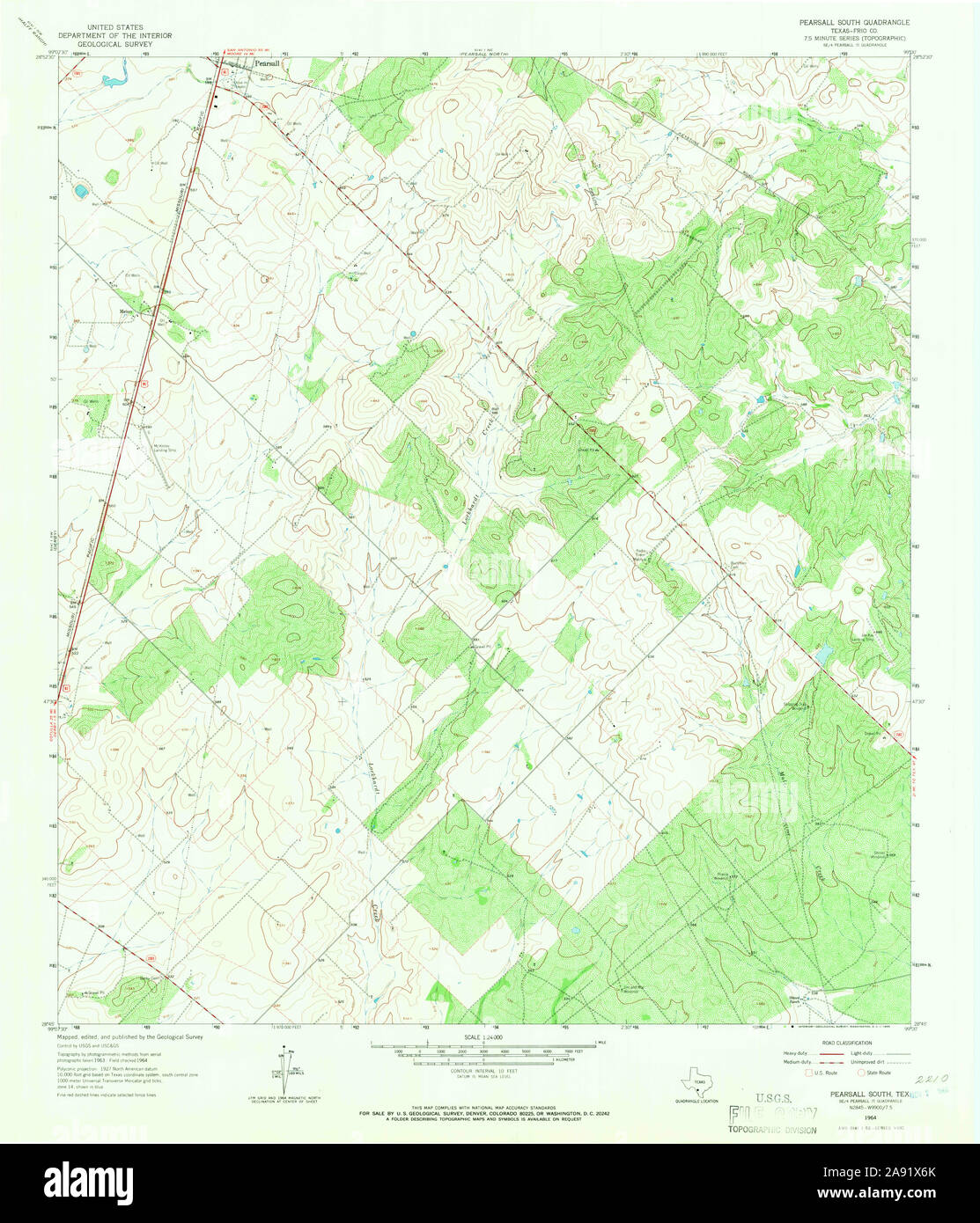 USGS TOPO Map Texas TX Pearsall South 114878 1964 24000 Restoration Stock Photohttps://www.alamy.com/image-license-details/?v=1https://www.alamy.com/usgs-topo-map-texas-tx-pearsall-south-114878-1964-24000-restoration-image332571419.html
RM2A91X6K–USGS TOPO Map Texas TX Pearsall South 114878 1964 24000 Restoration
 West Pearsall Census Designated Place (historical), Frio County, US, United States, Texas, N 28 53' 54'', S 99 6' 29'', map, Cartascapes Map published in 2024. Explore Cartascapes, a map revealing Earth's diverse landscapes, cultures, and ecosystems. Journey through time and space, discovering the interconnectedness of our planet's past, present, and future. Stock Photohttps://www.alamy.com/image-license-details/?v=1https://www.alamy.com/west-pearsall-census-designated-place-historical-frio-county-us-united-states-texas-n-28-53-54-s-99-6-29-map-cartascapes-map-published-in-2024-explore-cartascapes-a-map-revealing-earths-diverse-landscapes-cultures-and-ecosystems-journey-through-time-and-space-discovering-the-interconnectedness-of-our-planets-past-present-and-future-image620766492.html
RM2Y1X9YT–West Pearsall Census Designated Place (historical), Frio County, US, United States, Texas, N 28 53' 54'', S 99 6' 29'', map, Cartascapes Map published in 2024. Explore Cartascapes, a map revealing Earth's diverse landscapes, cultures, and ecosystems. Journey through time and space, discovering the interconnectedness of our planet's past, present, and future.
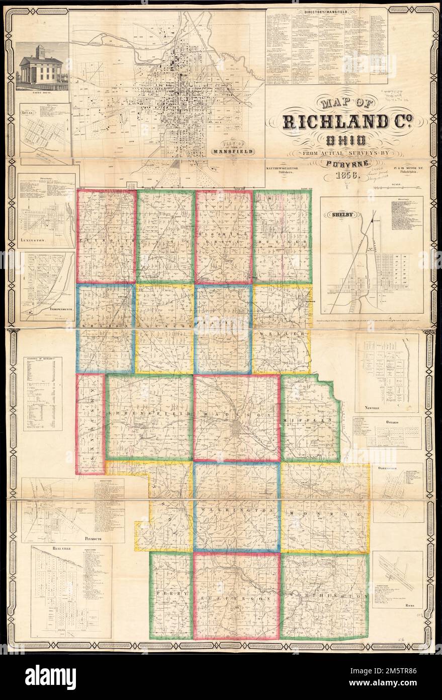 Map of Richland Co., Ohio. Entered according to Act of Congress in the year 1856 by Robert Pearsall Smith in the Clerk's Office of the District Court of the eastern district of Pennsylvania. Includes business directories, population table, 11 insets, and a view of the Court House. Insets: Lucas -- Mansfield -- Lexington -- Independence -- Plymouth -- Belle Ville -- Shelby -- Newville -- Ontario -- Olivesburgh -- Rome. BPL copy sectioned into 4 pieces and mounted on cloth.... , Ohio , Richland ,county Stock Photohttps://www.alamy.com/image-license-details/?v=1https://www.alamy.com/map-of-richland-co-ohio-entered-according-to-act-of-congress-in-the-year-1856-by-robert-pearsall-smith-in-the-clerks-office-of-the-district-court-of-the-eastern-district-of-pennsylvania-includes-business-directories-population-table-11-insets-and-a-view-of-the-court-house-insets-lucas-mansfield-lexington-independence-plymouth-belle-ville-shelby-newville-ontario-olivesburgh-rome-bpl-copy-sectioned-into-4-pieces-and-mounted-on-cloth-ohio-richland-county-image502719062.html
RM2M5TR86–Map of Richland Co., Ohio. Entered according to Act of Congress in the year 1856 by Robert Pearsall Smith in the Clerk's Office of the District Court of the eastern district of Pennsylvania. Includes business directories, population table, 11 insets, and a view of the Court House. Insets: Lucas -- Mansfield -- Lexington -- Independence -- Plymouth -- Belle Ville -- Shelby -- Newville -- Ontario -- Olivesburgh -- Rome. BPL copy sectioned into 4 pieces and mounted on cloth.... , Ohio , Richland ,county
 YORKSHIRE Langsett Midhopestones Upper Midhope Penistonestone Ecklands 1935 map Stock Photohttps://www.alamy.com/image-license-details/?v=1https://www.alamy.com/yorkshire-langsett-midhopestones-upper-midhope-penistonestone-ecklands-1935-map-image568753577.html
RF2T18XYN–YORKSHIRE Langsett Midhopestones Upper Midhope Penistonestone Ecklands 1935 map
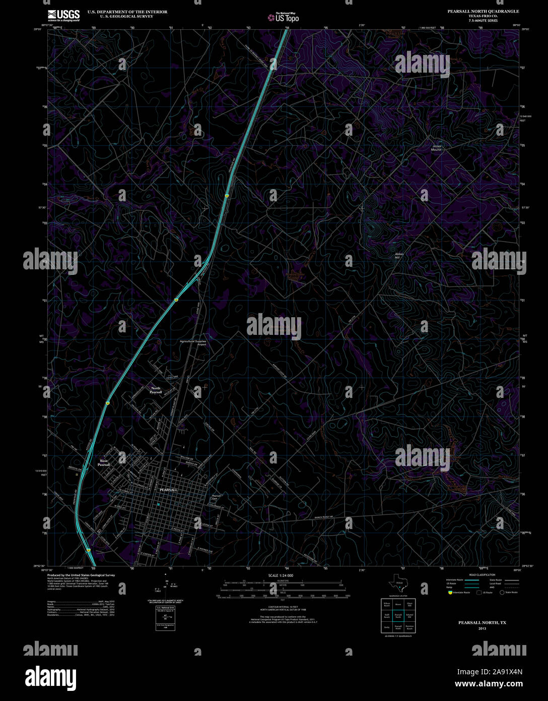 USGS TOPO Map Texas TX Pearsall North 20130108 TM Inverted Restoration Stock Photohttps://www.alamy.com/image-license-details/?v=1https://www.alamy.com/usgs-topo-map-texas-tx-pearsall-north-20130108-tm-inverted-restoration-image332571365.html
RM2A91X4N–USGS TOPO Map Texas TX Pearsall North 20130108 TM Inverted Restoration
 Pearsall, Wanneroo, Australia, Western Australia, S 31 46' 52'', E 115 49' 5'', map, Timeless Map published in 2021. Travelers, explorers and adventurers like Florence Nightingale, David Livingstone, Ernest Shackleton, Lewis and Clark and Sherlock Holmes relied on maps to plan travels to the world's most remote corners, Timeless Maps is mapping most locations on the globe, showing the achievement of great dreams Stock Photohttps://www.alamy.com/image-license-details/?v=1https://www.alamy.com/pearsall-wanneroo-australia-western-australia-s-31-46-52-e-115-49-5-map-timeless-map-published-in-2021-travelers-explorers-and-adventurers-like-florence-nightingale-david-livingstone-ernest-shackleton-lewis-and-clark-and-sherlock-holmes-relied-on-maps-to-plan-travels-to-the-worlds-most-remote-corners-timeless-maps-is-mapping-most-locations-on-the-globe-showing-the-achievement-of-great-dreams-image457822851.html
RM2HGRHM3–Pearsall, Wanneroo, Australia, Western Australia, S 31 46' 52'', E 115 49' 5'', map, Timeless Map published in 2021. Travelers, explorers and adventurers like Florence Nightingale, David Livingstone, Ernest Shackleton, Lewis and Clark and Sherlock Holmes relied on maps to plan travels to the world's most remote corners, Timeless Maps is mapping most locations on the globe, showing the achievement of great dreams
 Map of Portage Co., Ohio. Entered according to act of Congress in the year 1857 by Robert Pearsall Smith in Clerks Office of the district court of the eastern district of Pennsylvania. Includes business directories, 22 insets, and 4 views of public, residential, and commercial properties. Insets: Deerfield -- Garretsville -- Rootstown -- Streetsboro -- Atwater -- Aurora -- Palmyra -- Suffield Center -- Shalersville -- Edinburg -- Hiram -- Brimfield -- Randolph -- Ravenna -- Augerberg -- Mantua Corners -- Nelson -- Newport Village -- Mogadore Village -- Harrison, town of Hiram -- Map of Frankli Stock Photohttps://www.alamy.com/image-license-details/?v=1https://www.alamy.com/map-of-portage-co-ohio-entered-according-to-act-of-congress-in-the-year-1857-by-robert-pearsall-smith-in-clerks-office-of-the-district-court-of-the-eastern-district-of-pennsylvania-includes-business-directories-22-insets-and-4-views-of-public-residential-and-commercial-properties-insets-deerfield-garretsville-rootstown-streetsboro-atwater-aurora-palmyra-suffield-center-shalersville-edinburg-hiram-brimfield-randolph-ravenna-augerberg-mantua-corners-nelson-newport-village-mogadore-village-harrison-town-of-hiram-map-of-frankli-image502709838.html
RM2M5TBEP–Map of Portage Co., Ohio. Entered according to act of Congress in the year 1857 by Robert Pearsall Smith in Clerks Office of the district court of the eastern district of Pennsylvania. Includes business directories, 22 insets, and 4 views of public, residential, and commercial properties. Insets: Deerfield -- Garretsville -- Rootstown -- Streetsboro -- Atwater -- Aurora -- Palmyra -- Suffield Center -- Shalersville -- Edinburg -- Hiram -- Brimfield -- Randolph -- Ravenna -- Augerberg -- Mantua Corners -- Nelson -- Newport Village -- Mogadore Village -- Harrison, town of Hiram -- Map of Frankli
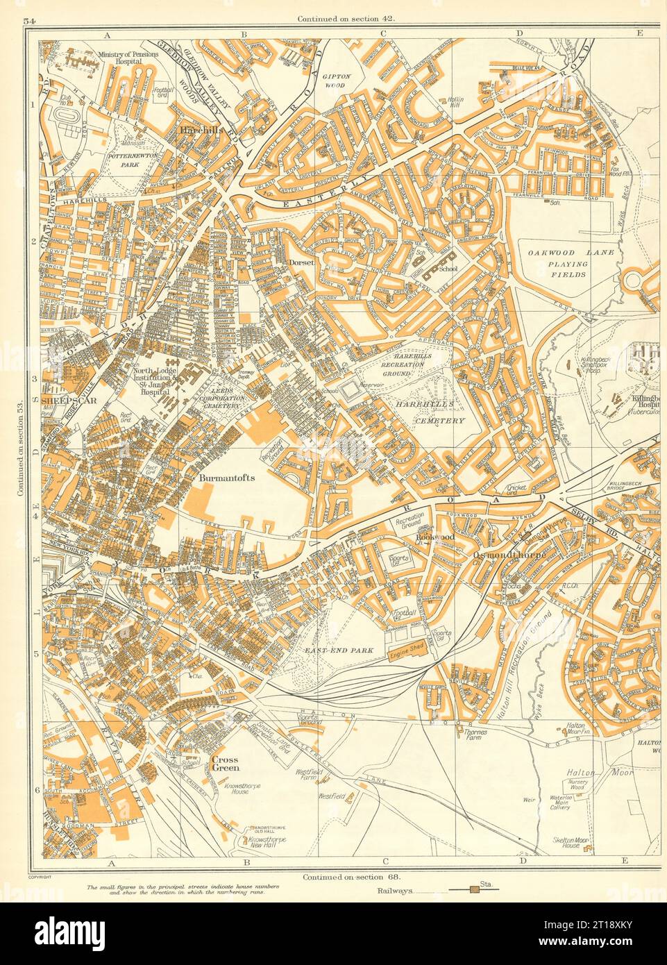 LEEDS Burmantofts Sheepscar Harehills Osmondthorpe Rookwood 1935 old map Stock Photohttps://www.alamy.com/image-license-details/?v=1https://www.alamy.com/leeds-burmantofts-sheepscar-harehills-osmondthorpe-rookwood-1935-old-map-image568753359.html
RF2T18XKY–LEEDS Burmantofts Sheepscar Harehills Osmondthorpe Rookwood 1935 old map
 USGS TOPO Map Texas TX Pearsall 128484 1927 62500 Inverted Restoration Stock Photohttps://www.alamy.com/image-license-details/?v=1https://www.alamy.com/usgs-topo-map-texas-tx-pearsall-128484-1927-62500-inverted-restoration-image332571288.html
RM2A91X20–USGS TOPO Map Texas TX Pearsall 128484 1927 62500 Inverted Restoration
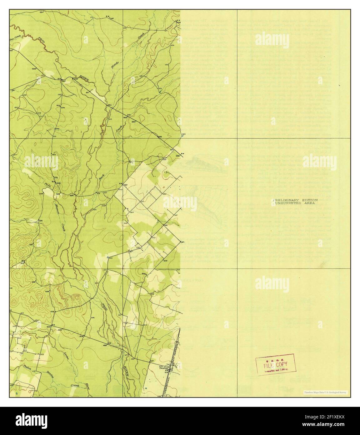 Pearsall, Texas, map 1927, 1:62500, United States of America by Timeless Maps, data U.S. Geological Survey Stock Photohttps://www.alamy.com/image-license-details/?v=1https://www.alamy.com/pearsall-texas-map-1927-162500-united-states-of-america-by-timeless-maps-data-us-geological-survey-image414245774.html
RM2F1XEKX–Pearsall, Texas, map 1927, 1:62500, United States of America by Timeless Maps, data U.S. Geological Survey
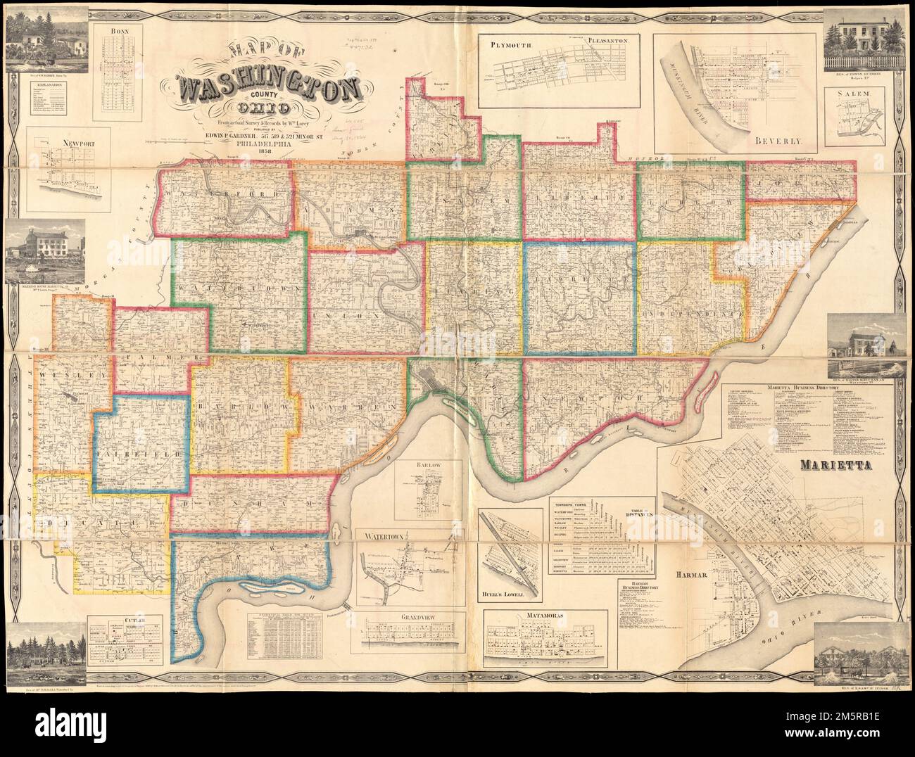 Map of Washington County, Ohio. Shows landownership. Includes business directory, statistical table, table of distances, 12 insets, and 6 views of buildings. Insets: Bonn -- Newport -- Cutler -- Barlow -- Watertown -- Grandview -- Plymouth; Pleasanton -- Buell's Lowell -- Matamoras -- Beverly -- Marietta -- Salem. 'Entered according to Act of Congress in the year 1858 by Robert Pearsall Smith in the clerks office of the district court of the eastern district of Pennsylvania.' BPL copy assembled, sectioned to 4 sheets and mounted on cloth.... , Ohio , Washington ,county , Marietta Stock Photohttps://www.alamy.com/image-license-details/?v=1https://www.alamy.com/map-of-washington-county-ohio-shows-landownership-includes-business-directory-statistical-table-table-of-distances-12-insets-and-6-views-of-buildings-insets-bonn-newport-cutler-barlow-watertown-grandview-plymouth-pleasanton-buells-lowell-matamoras-beverly-marietta-salem-entered-according-to-act-of-congress-in-the-year-1858-by-robert-pearsall-smith-in-the-clerks-office-of-the-district-court-of-the-eastern-district-of-pennsylvania-bpl-copy-assembled-sectioned-to-4-sheets-and-mounted-on-cloth-ohio-washington-county-marietta-image502687514.html
RM2M5RB1E–Map of Washington County, Ohio. Shows landownership. Includes business directory, statistical table, table of distances, 12 insets, and 6 views of buildings. Insets: Bonn -- Newport -- Cutler -- Barlow -- Watertown -- Grandview -- Plymouth; Pleasanton -- Buell's Lowell -- Matamoras -- Beverly -- Marietta -- Salem. 'Entered according to Act of Congress in the year 1858 by Robert Pearsall Smith in the clerks office of the district court of the eastern district of Pennsylvania.' BPL copy assembled, sectioned to 4 sheets and mounted on cloth.... , Ohio , Washington ,county , Marietta
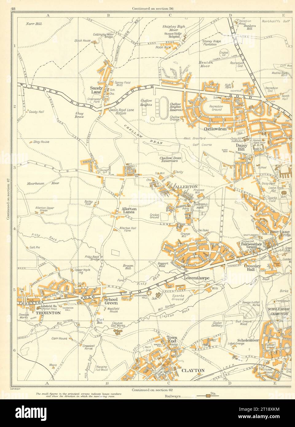 BRADFORD Clayton Scholemoor Thornton Chellowdean Leaventhorpe Allerton 1935 map Stock Photohttps://www.alamy.com/image-license-details/?v=1https://www.alamy.com/bradford-clayton-scholemoor-thornton-chellowdean-leaventhorpe-allerton-1935-map-image568753352.html
RF2T18XKM–BRADFORD Clayton Scholemoor Thornton Chellowdean Leaventhorpe Allerton 1935 map
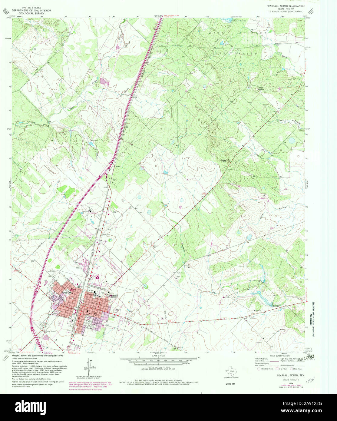 USGS TOPO Map Texas TX Pearsall North 114877 1964 24000 Restoration Stock Photohttps://www.alamy.com/image-license-details/?v=1https://www.alamy.com/usgs-topo-map-texas-tx-pearsall-north-114877-1964-24000-restoration-image332571304.html
RM2A91X2G–USGS TOPO Map Texas TX Pearsall North 114877 1964 24000 Restoration
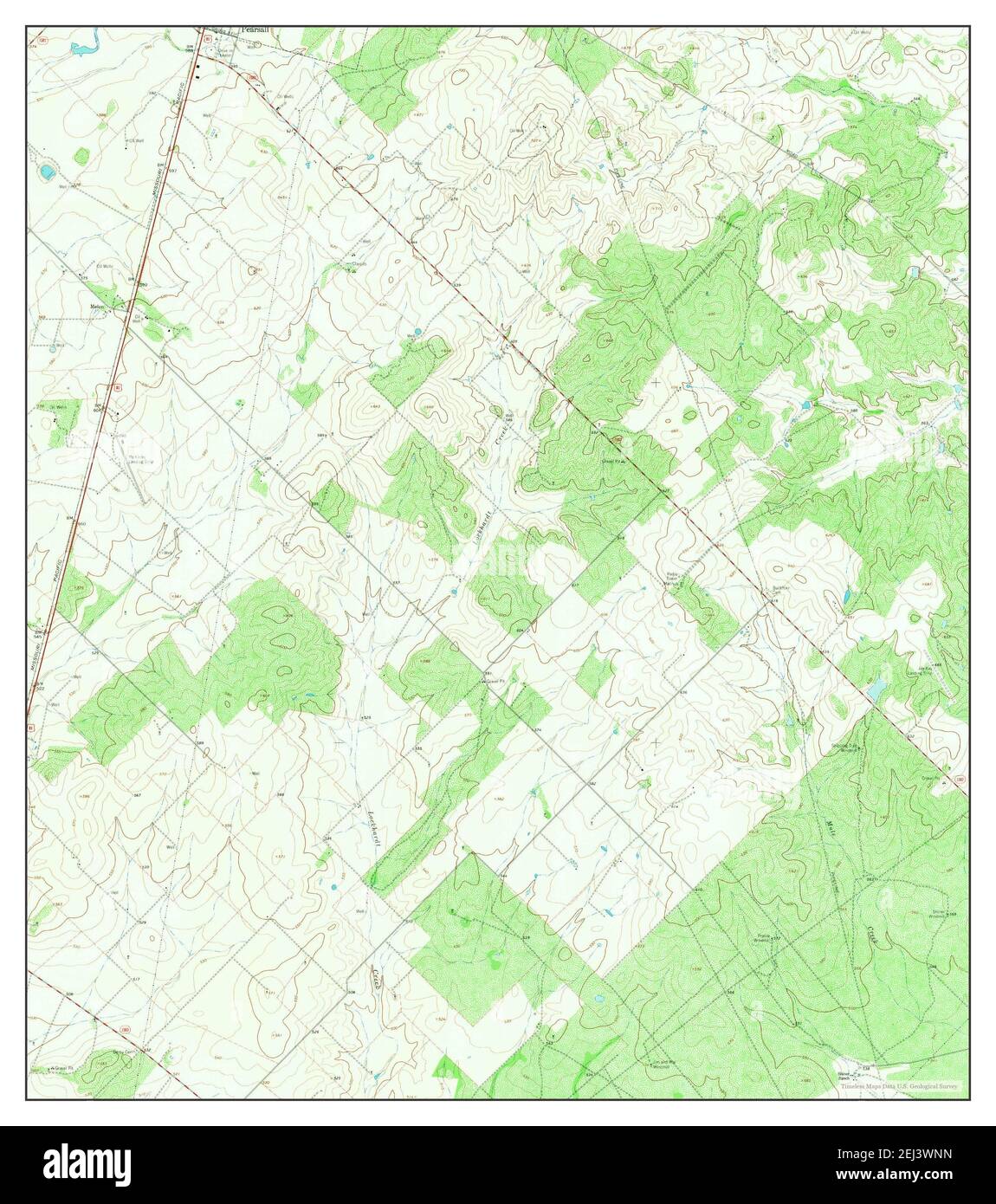 Pearsall South, Texas, map 1964, 1:24000, United States of America by Timeless Maps, data U.S. Geological Survey Stock Photohttps://www.alamy.com/image-license-details/?v=1https://www.alamy.com/pearsall-south-texas-map-1964-124000-united-states-of-america-by-timeless-maps-data-us-geological-survey-image406988337.html
RM2EJ3WNN–Pearsall South, Texas, map 1964, 1:24000, United States of America by Timeless Maps, data U.S. Geological Survey
 Map of Allegany Co., N.Y : from actual surveys. General-content county map showing rural buildings and householders' names. Relief shown by hachures. Hand colored to emphasize town (township) boundaries and areas of village/city insets. 'Entered according to act of Congress in the year 1856 by Robert Pearsall Smith in the ... Eastern District of Pennsylvania.' Includes county statistical table, local business directories (some indexed), 26 small-town/village insets (including Wellsville), and illustrations of prominent buildings.... , New York , Allegany ,county Stock Photohttps://www.alamy.com/image-license-details/?v=1https://www.alamy.com/map-of-allegany-co-ny-from-actual-surveys-general-content-county-map-showing-rural-buildings-and-householders-names-relief-shown-by-hachures-hand-colored-to-emphasize-town-township-boundaries-and-areas-of-villagecity-insets-entered-according-to-act-of-congress-in-the-year-1856-by-robert-pearsall-smith-in-the-eastern-district-of-pennsylvania-includes-county-statistical-table-local-business-directories-some-indexed-26-small-townvillage-insets-including-wellsville-and-illustrations-of-prominent-buildings-new-york-allegany-county-image502687291.html
RM2M5RANF–Map of Allegany Co., N.Y : from actual surveys. General-content county map showing rural buildings and householders' names. Relief shown by hachures. Hand colored to emphasize town (township) boundaries and areas of village/city insets. 'Entered according to act of Congress in the year 1856 by Robert Pearsall Smith in the ... Eastern District of Pennsylvania.' Includes county statistical table, local business directories (some indexed), 26 small-town/village insets (including Wellsville), and illustrations of prominent buildings.... , New York , Allegany ,county
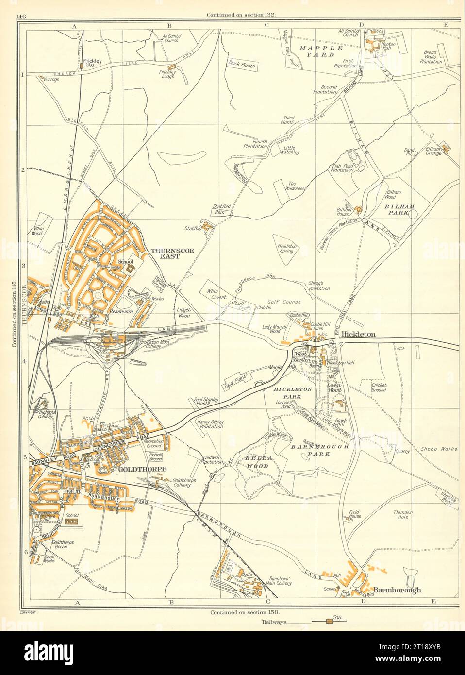 YORKSHIRE Barnburgh Goldthorpe Hickleton Thurscoe Hooton Pagnell 1935 map Stock Photohttps://www.alamy.com/image-license-details/?v=1https://www.alamy.com/yorkshire-barnburgh-goldthorpe-hickleton-thurscoe-hooton-pagnell-1935-map-image568753567.html
RF2T18XYB–YORKSHIRE Barnburgh Goldthorpe Hickleton Thurscoe Hooton Pagnell 1935 map
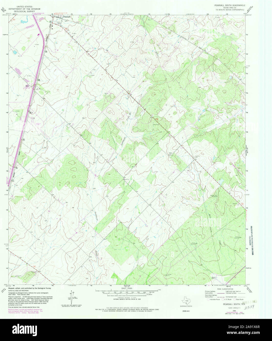 USGS TOPO Map Texas TX Pearsall South 114879 1964 24000 Restoration Stock Photohttps://www.alamy.com/image-license-details/?v=1https://www.alamy.com/usgs-topo-map-texas-tx-pearsall-south-114879-1964-24000-restoration-image332571423.html
RM2A91X6R–USGS TOPO Map Texas TX Pearsall South 114879 1964 24000 Restoration
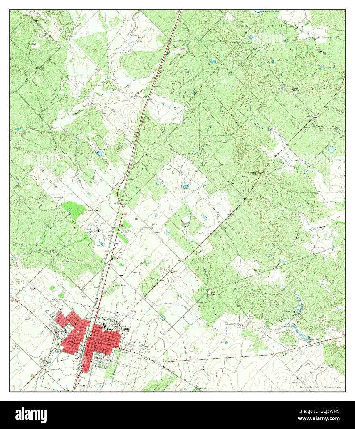 Pearsall North, Texas, map 1964, 1:24000, United States of America by Timeless Maps, data U.S. Geological Survey Stock Photohttps://www.alamy.com/image-license-details/?v=1https://www.alamy.com/pearsall-north-texas-map-1964-124000-united-states-of-america-by-timeless-maps-data-us-geological-survey-image406988325.html
RM2EJ3WN9–Pearsall North, Texas, map 1964, 1:24000, United States of America by Timeless Maps, data U.S. Geological Survey
 Map of Medina Co., Ohio. BPL copy assembled, sectioned into 3 pieces and mounted on cloth. 'Entered according to Act of Congress in the year 1854 by Robert Pearsall Smith in the Clerks Office of the District Court of the Eastern Court of Pennsylvania.' Includes residence and business directories, 13 insets, and 6 illustrations of buildings. Insets: Abbey Ville -- Lodi -- Weymouth Village -- Sharon Center -- York Centre -- Chatham Centre -- Wadsworth -- Hinckley Center -- Litchfield -- Liverpool Centre -- Medina -- Seville -- Brunswick.... , Ohio , Medina ,county Stock Photohttps://www.alamy.com/image-license-details/?v=1https://www.alamy.com/map-of-medina-co-ohio-bpl-copy-assembled-sectioned-into-3-pieces-and-mounted-on-cloth-entered-according-to-act-of-congress-in-the-year-1854-by-robert-pearsall-smith-in-the-clerks-office-of-the-district-court-of-the-eastern-court-of-pennsylvania-includes-residence-and-business-directories-13-insets-and-6-illustrations-of-buildings-insets-abbey-ville-lodi-weymouth-village-sharon-center-york-centre-chatham-centre-wadsworth-hinckley-center-litchfield-liverpool-centre-medina-seville-brunswick-ohio-medina-county-image502713008.html
RM2M5TFG0–Map of Medina Co., Ohio. BPL copy assembled, sectioned into 3 pieces and mounted on cloth. 'Entered according to Act of Congress in the year 1854 by Robert Pearsall Smith in the Clerks Office of the District Court of the Eastern Court of Pennsylvania.' Includes residence and business directories, 13 insets, and 6 illustrations of buildings. Insets: Abbey Ville -- Lodi -- Weymouth Village -- Sharon Center -- York Centre -- Chatham Centre -- Wadsworth -- Hinckley Center -- Litchfield -- Liverpool Centre -- Medina -- Seville -- Brunswick.... , Ohio , Medina ,county
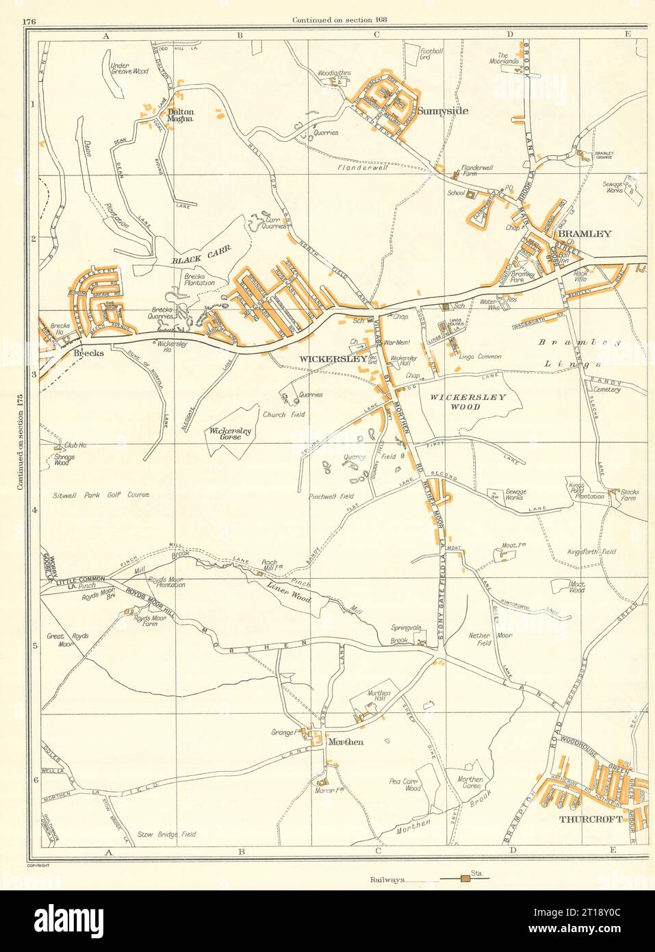 ROTHERHAM Morthen Wickersley Bramley Thurcroft Sunnyside Listerdale 1935 map Stock Photohttps://www.alamy.com/image-license-details/?v=1https://www.alamy.com/rotherham-morthen-wickersley-bramley-thurcroft-sunnyside-listerdale-1935-map-image568753596.html
RF2T18Y0C–ROTHERHAM Morthen Wickersley Bramley Thurcroft Sunnyside Listerdale 1935 map
 USGS TOPO Map Texas TX Pearsall South 20130103 TM Inverted Restoration Stock Photohttps://www.alamy.com/image-license-details/?v=1https://www.alamy.com/usgs-topo-map-texas-tx-pearsall-south-20130103-tm-inverted-restoration-image332571507.html
RM2A91X9R–USGS TOPO Map Texas TX Pearsall South 20130103 TM Inverted Restoration
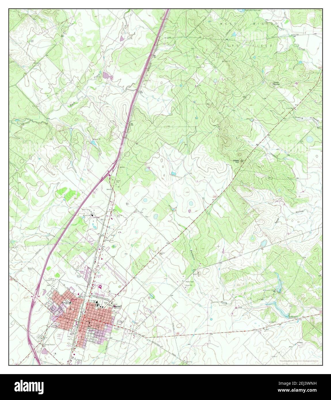 Pearsall North, Texas, map 1964, 1:24000, United States of America by Timeless Maps, data U.S. Geological Survey Stock Photohttps://www.alamy.com/image-license-details/?v=1https://www.alamy.com/pearsall-north-texas-map-1964-124000-united-states-of-america-by-timeless-maps-data-us-geological-survey-image406988333.html
RM2EJ3WNH–Pearsall North, Texas, map 1964, 1:24000, United States of America by Timeless Maps, data U.S. Geological Survey
 Map of Cattaraugus Co., New York : from the county records & actual surveys. General-content county map showing towns (townships), numbered town sections, some rural land tracts with owner's names, rural buildings, and householder's names. Relief shown by hachures. Colored to emphasize town boundaries and areas. 'Entered according to Act of Congress in the year 1856 by Robert Pearsall Smith in the ... Eastern District of Pennsylvania.' Includes 24 village insets (including Olean), local business directories, and illustrations of prominent buildings/residences.... , New York , Cattaraugus ,co Stock Photohttps://www.alamy.com/image-license-details/?v=1https://www.alamy.com/map-of-cattaraugus-co-new-york-from-the-county-records-actual-surveys-general-content-county-map-showing-towns-townships-numbered-town-sections-some-rural-land-tracts-with-owners-names-rural-buildings-and-householders-names-relief-shown-by-hachures-colored-to-emphasize-town-boundaries-and-areas-entered-according-to-act-of-congress-in-the-year-1856-by-robert-pearsall-smith-in-the-eastern-district-of-pennsylvania-includes-24-village-insets-including-olean-local-business-directories-and-illustrations-of-prominent-buildingsresidences-new-york-cattaraugus-co-image502685969.html
RM2M5R929–Map of Cattaraugus Co., New York : from the county records & actual surveys. General-content county map showing towns (townships), numbered town sections, some rural land tracts with owner's names, rural buildings, and householder's names. Relief shown by hachures. Colored to emphasize town boundaries and areas. 'Entered according to Act of Congress in the year 1856 by Robert Pearsall Smith in the ... Eastern District of Pennsylvania.' Includes 24 village insets (including Olean), local business directories, and illustrations of prominent buildings/residences.... , New York , Cattaraugus ,co
 HOLMFIRTH Wooldale New Mill Netherthong Thongsbridge Brockholes 1935 map Stock Photohttps://www.alamy.com/image-license-details/?v=1https://www.alamy.com/holmfirth-wooldale-new-mill-netherthong-thongsbridge-brockholes-1935-map-image568753488.html
RF2T18XTG–HOLMFIRTH Wooldale New Mill Netherthong Thongsbridge Brockholes 1935 map
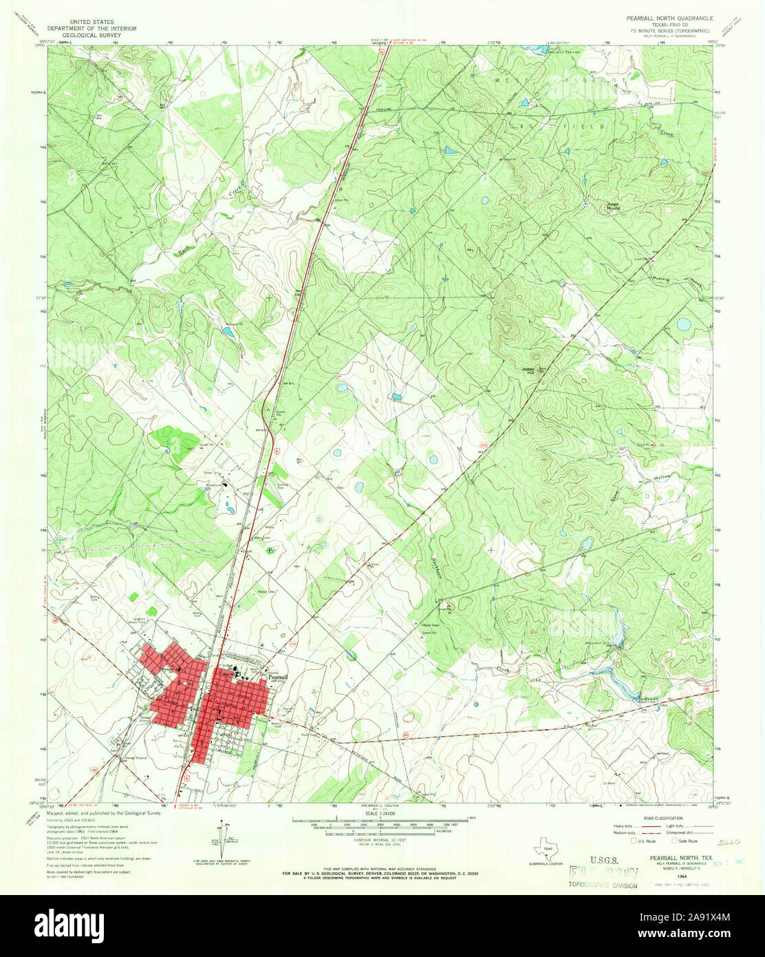 USGS TOPO Map Texas TX Pearsall North 114876 1964 24000 Restoration Stock Photohttps://www.alamy.com/image-license-details/?v=1https://www.alamy.com/usgs-topo-map-texas-tx-pearsall-north-114876-1964-24000-restoration-image332571364.html
RM2A91X4M–USGS TOPO Map Texas TX Pearsall North 114876 1964 24000 Restoration
 Gillette's map of Monroe Co., New York : from actual surveys. Shows landowners. 'Assistants: C.K. Stone, A.J. Cowles, A. Pomeroy, I.D. Peck, C.O. Titus, A.Y. Peck. 'Entered according to Act of Congress in the year 1858 by Robert Pearsall Smith in the clerk's office of the district court of the eastern district of Pennsylvania.' Includes ill., population statistics, table of distances, inset of Rochester with city directory and 30 other insets with business directories for some towns in the county.... , New York , Monroe ,county , Rochester Stock Photohttps://www.alamy.com/image-license-details/?v=1https://www.alamy.com/gillettes-map-of-monroe-co-new-york-from-actual-surveys-shows-landowners-assistants-ck-stone-aj-cowles-a-pomeroy-id-peck-co-titus-ay-peck-entered-according-to-act-of-congress-in-the-year-1858-by-robert-pearsall-smith-in-the-clerks-office-of-the-district-court-of-the-eastern-district-of-pennsylvania-includes-ill-population-statistics-table-of-distances-inset-of-rochester-with-city-directory-and-30-other-insets-with-business-directories-for-some-towns-in-the-county-new-york-monroe-county-rochester-image502685968.html
RM2M5R928–Gillette's map of Monroe Co., New York : from actual surveys. Shows landowners. 'Assistants: C.K. Stone, A.J. Cowles, A. Pomeroy, I.D. Peck, C.O. Titus, A.Y. Peck. 'Entered according to Act of Congress in the year 1858 by Robert Pearsall Smith in the clerk's office of the district court of the eastern district of Pennsylvania.' Includes ill., population statistics, table of distances, inset of Rochester with city directory and 30 other insets with business directories for some towns in the county.... , New York , Monroe ,county , Rochester
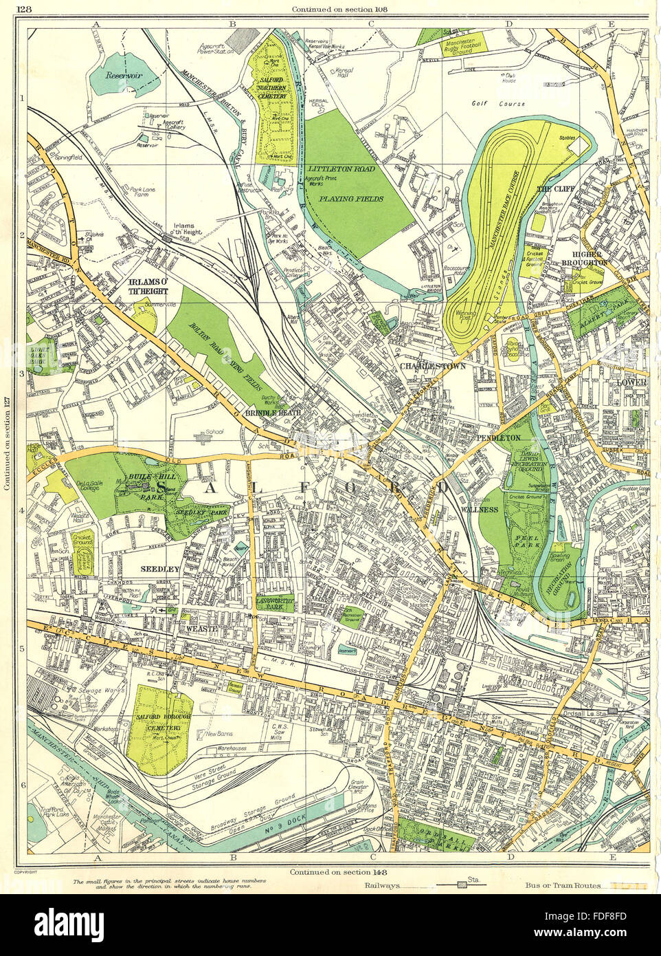 MANCHESTER Salford Wallness Pendleton Charlestown Irlams O'Th'Height 1935 map Stock Photohttps://www.alamy.com/image-license-details/?v=1https://www.alamy.com/stock-photo-manchester-salford-wallness-pendleton-charlestown-irlams-othheight-94378353.html
RFFDF8FD–MANCHESTER Salford Wallness Pendleton Charlestown Irlams O'Th'Height 1935 map
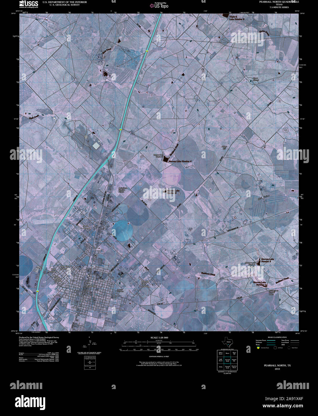 USGS TOPO Map Texas TX Pearsall North 20100514 TM Inverted Restoration Stock Photohttps://www.alamy.com/image-license-details/?v=1https://www.alamy.com/usgs-topo-map-texas-tx-pearsall-north-20100514-tm-inverted-restoration-image332571359.html
RM2A91X4F–USGS TOPO Map Texas TX Pearsall North 20100514 TM Inverted Restoration
 Map of Broome County, New York. General-content county map showing buildings in rural areas and householders' names; the Binghamton inset shows lot lines, building coverage, and some owners' names. Relief shown by hachures. Colored to emphasize town (township) boundaries. 'Entered according to Act of Congress in the Year 1855 by Robert Pearsall Smith in the ... Eastern District of Pennsylvania.' Includes notes, county statistical table, distance table, inset 'Map of Binghamton' city, 16 village insets, local business directories, and illustrations of prominent buildings.... , New York , Broom Stock Photohttps://www.alamy.com/image-license-details/?v=1https://www.alamy.com/map-of-broome-county-new-york-general-content-county-map-showing-buildings-in-rural-areas-and-householders-names-the-binghamton-inset-shows-lot-lines-building-coverage-and-some-owners-names-relief-shown-by-hachures-colored-to-emphasize-town-township-boundaries-entered-according-to-act-of-congress-in-the-year-1855-by-robert-pearsall-smith-in-the-eastern-district-of-pennsylvania-includes-notes-county-statistical-table-distance-table-inset-map-of-binghamton-city-16-village-insets-local-business-directories-and-illustrations-of-prominent-buildings-new-york-broom-image502696919.html
RM2M5RR1B–Map of Broome County, New York. General-content county map showing buildings in rural areas and householders' names; the Binghamton inset shows lot lines, building coverage, and some owners' names. Relief shown by hachures. Colored to emphasize town (township) boundaries. 'Entered according to Act of Congress in the Year 1855 by Robert Pearsall Smith in the ... Eastern District of Pennsylvania.' Includes notes, county statistical table, distance table, inset 'Map of Binghamton' city, 16 village insets, local business directories, and illustrations of prominent buildings.... , New York , Broom
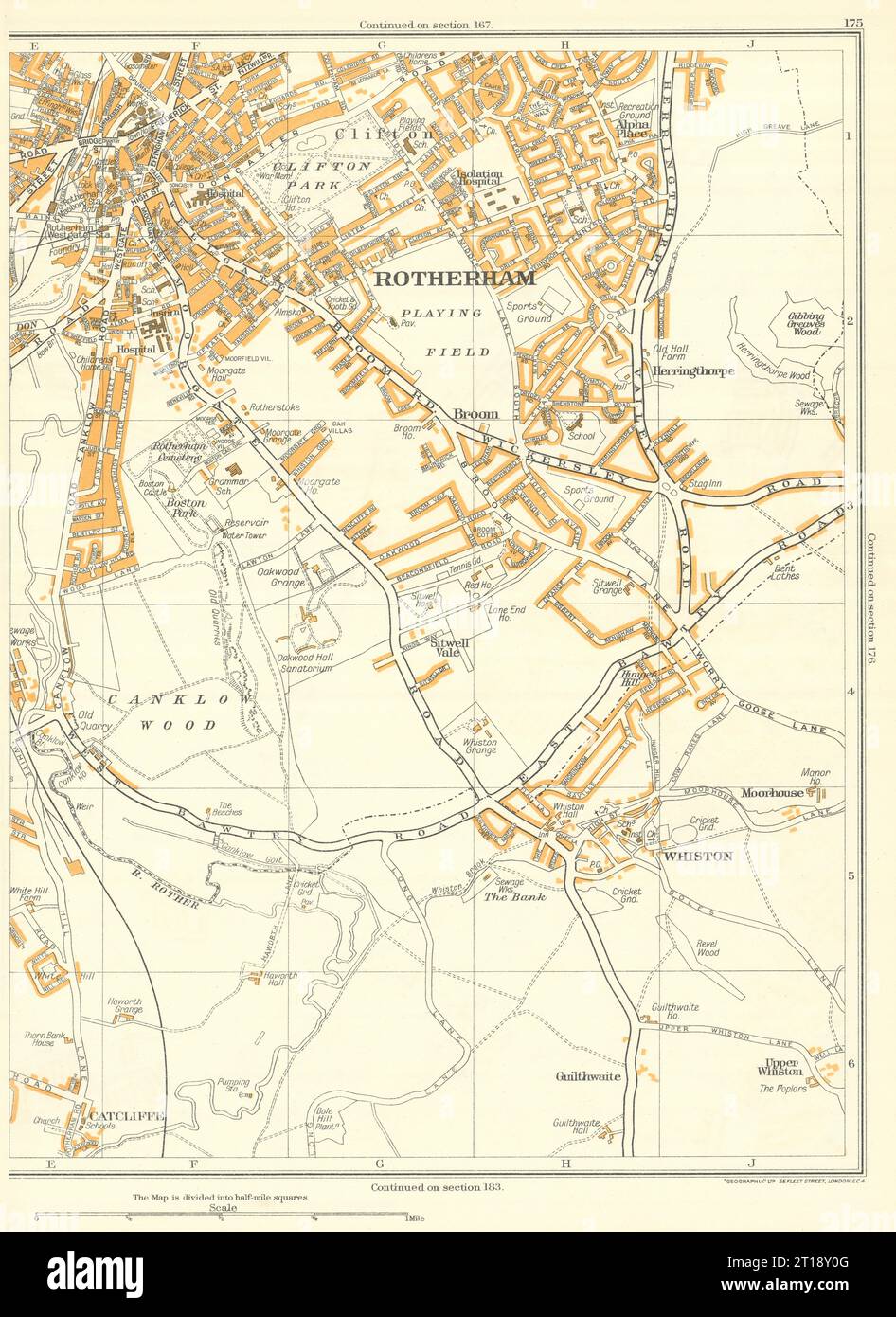 ROTHERHAM Canklow Whiston Catcliffe Herringthorpe Clifton Moorgate 1935 map Stock Photohttps://www.alamy.com/image-license-details/?v=1https://www.alamy.com/rotherham-canklow-whiston-catcliffe-herringthorpe-clifton-moorgate-1935-map-image568753600.html
RF2T18Y0G–ROTHERHAM Canklow Whiston Catcliffe Herringthorpe Clifton Moorgate 1935 map
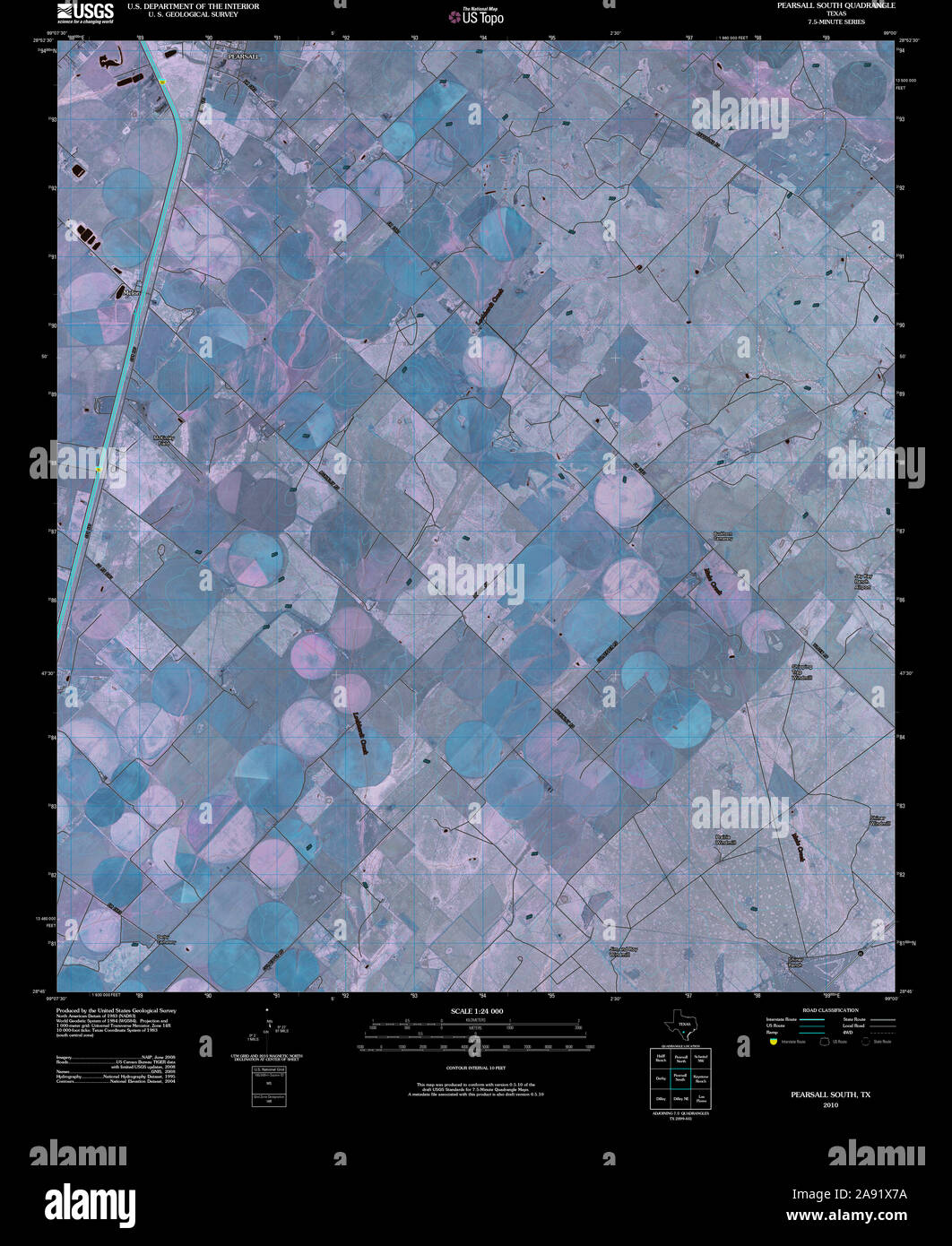 USGS TOPO Map Texas TX Pearsall South 20100514 TM Inverted Restoration Stock Photohttps://www.alamy.com/image-license-details/?v=1https://www.alamy.com/usgs-topo-map-texas-tx-pearsall-south-20100514-tm-inverted-restoration-image332571438.html
RM2A91X7A–USGS TOPO Map Texas TX Pearsall South 20100514 TM Inverted Restoration
 KEIGHLEY Aireworth Rivock The Height Riddlesden Sandbeds Stockbridge 1935 map Stock Photohttps://www.alamy.com/image-license-details/?v=1https://www.alamy.com/keighley-aireworth-rivock-the-height-riddlesden-sandbeds-stockbridge-1935-map-image568753339.html
RF2T18XK7–KEIGHLEY Aireworth Rivock The Height Riddlesden Sandbeds Stockbridge 1935 map
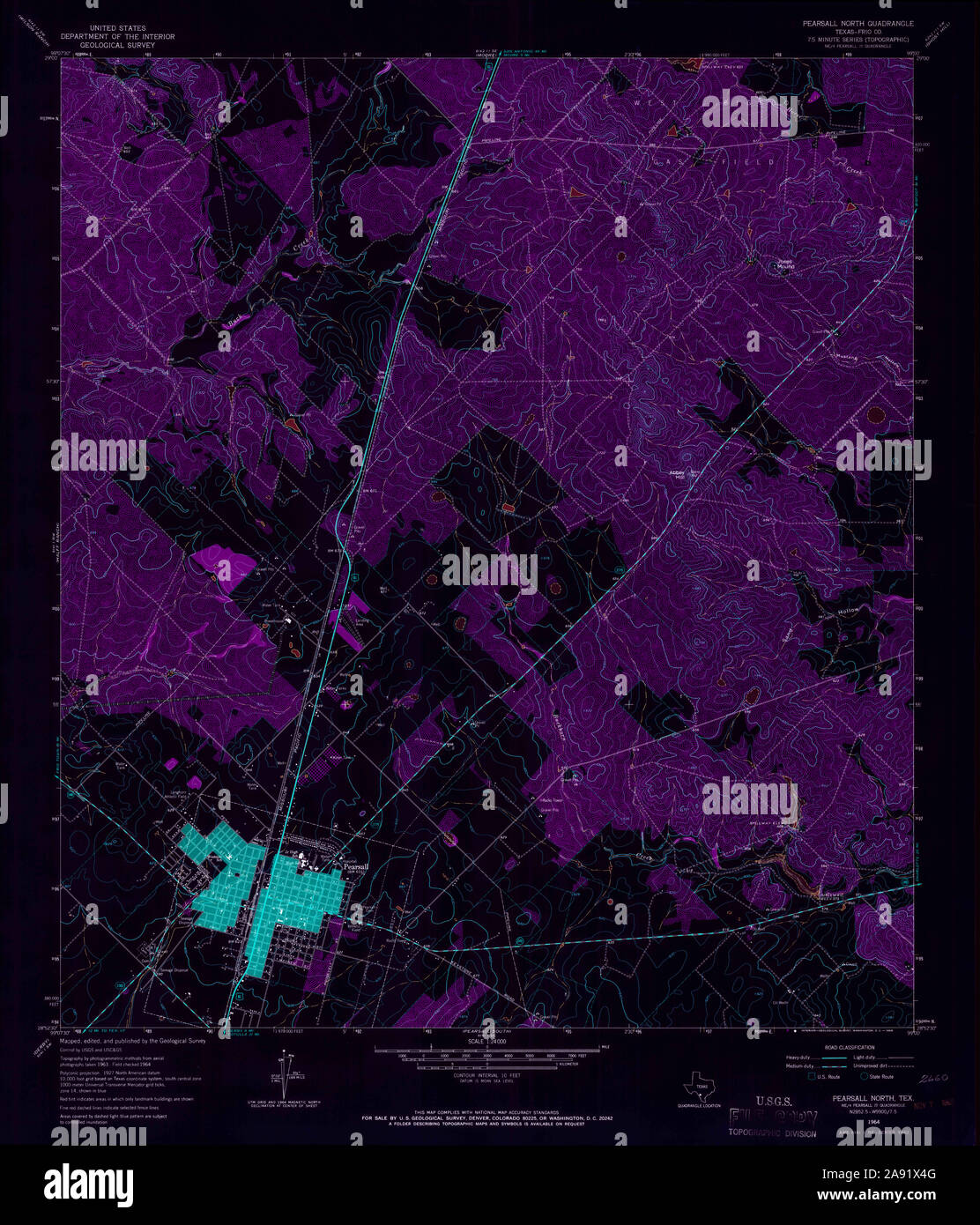 USGS TOPO Map Texas TX Pearsall North 114876 1964 24000 Inverted Restoration Stock Photohttps://www.alamy.com/image-license-details/?v=1https://www.alamy.com/usgs-topo-map-texas-tx-pearsall-north-114876-1964-24000-inverted-restoration-image332571360.html
RM2A91X4G–USGS TOPO Map Texas TX Pearsall North 114876 1964 24000 Inverted Restoration
 YORKSHIRE Mirfield Whitley Briestfield Ravensthorpe Northorpe Dewsbury 1935 map Stock Photohttps://www.alamy.com/image-license-details/?v=1https://www.alamy.com/yorkshire-mirfield-whitley-briestfield-ravensthorpe-northorpe-dewsbury-1935-map-image568753463.html
RF2T18XRK–YORKSHIRE Mirfield Whitley Briestfield Ravensthorpe Northorpe Dewsbury 1935 map
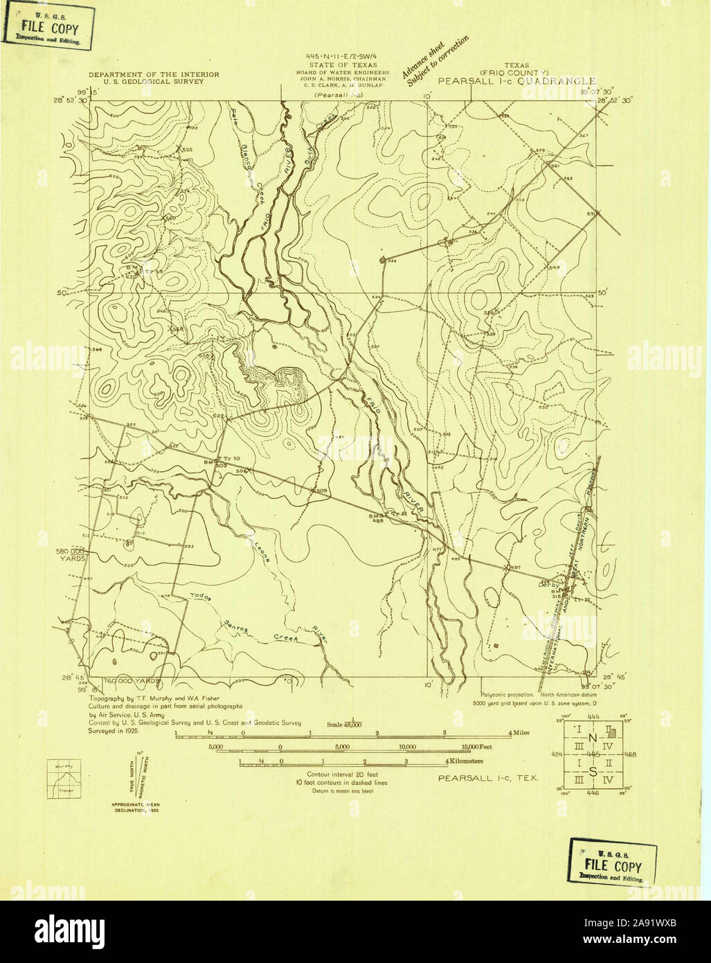 USGS TOPO Map Texas TX Pearsall 1-c 128403 1925 48000 Restoration Stock Photohttps://www.alamy.com/image-license-details/?v=1https://www.alamy.com/usgs-topo-map-texas-tx-pearsall-1-c-128403-1925-48000-restoration-image332571187.html
RM2A91WXB–USGS TOPO Map Texas TX Pearsall 1-c 128403 1925 48000 Restoration
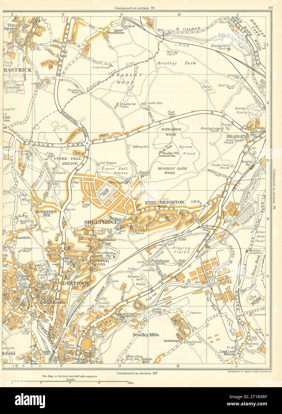 HUDDERSFIELD Bradley Sheepridge Rastrick Fartown Deighton hillhouse 1935 map Stock Photohttps://www.alamy.com/image-license-details/?v=1https://www.alamy.com/huddersfield-bradley-sheepridge-rastrick-fartown-deighton-hillhouse-1935-map-image568753459.html
RF2T18XRF–HUDDERSFIELD Bradley Sheepridge Rastrick Fartown Deighton hillhouse 1935 map
 USGS TOPO Map Texas TX Pearsall South 114879 1964 24000 Inverted Restoration Stock Photohttps://www.alamy.com/image-license-details/?v=1https://www.alamy.com/usgs-topo-map-texas-tx-pearsall-south-114879-1964-24000-inverted-restoration-image332571429.html
RM2A91X71–USGS TOPO Map Texas TX Pearsall South 114879 1964 24000 Inverted Restoration
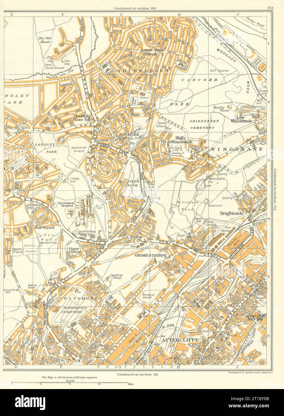 SHEFFIELD Wincobank Grimesthorpe Attercliffe Shiregreen Longley 1935 old map Stock Photohttps://www.alamy.com/image-license-details/?v=1https://www.alamy.com/sheffield-wincobank-grimesthorpe-attercliffe-shiregreen-longley-1935-old-map-image568753595.html
RF2T18Y0B–SHEFFIELD Wincobank Grimesthorpe Attercliffe Shiregreen Longley 1935 old map
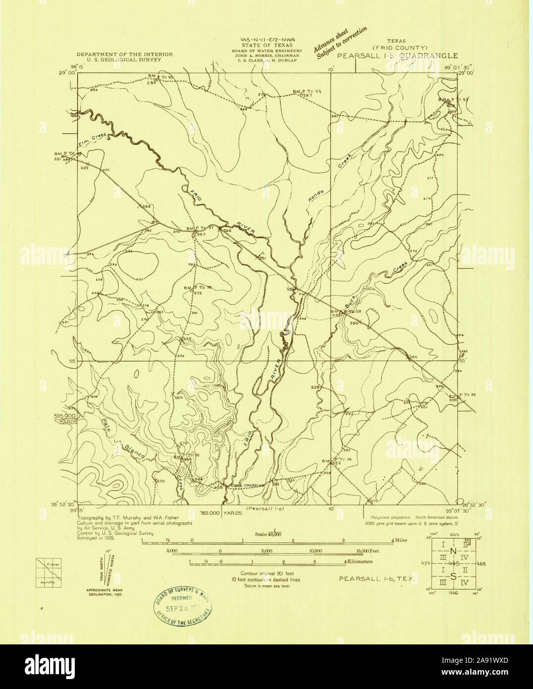 USGS TOPO Map Texas TX Pearsall 1-b 128402 1925 48000 Restoration Stock Photohttps://www.alamy.com/image-license-details/?v=1https://www.alamy.com/usgs-topo-map-texas-tx-pearsall-1-b-128402-1925-48000-restoration-image332571189.html
RM2A91WXD–USGS TOPO Map Texas TX Pearsall 1-b 128402 1925 48000 Restoration
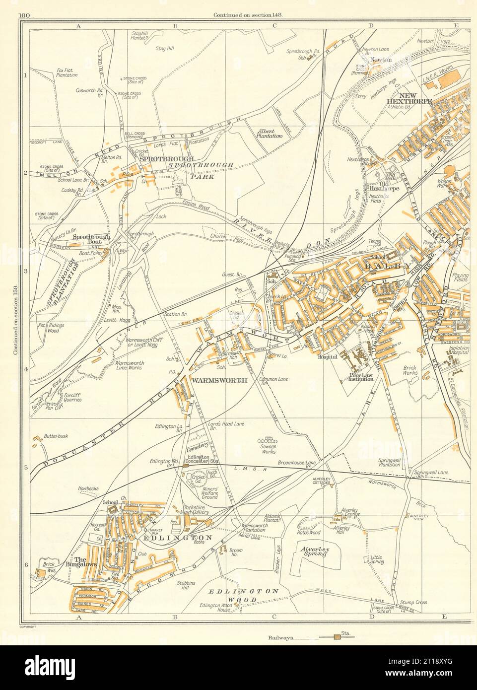 DONCASTER Warmsworth Edlington Hexthorpe Bungalows Spotbrough Balby 1935 map Stock Photohttps://www.alamy.com/image-license-details/?v=1https://www.alamy.com/doncaster-warmsworth-edlington-hexthorpe-bungalows-spotbrough-balby-1935-map-image568753572.html
RF2T18XYG–DONCASTER Warmsworth Edlington Hexthorpe Bungalows Spotbrough Balby 1935 map
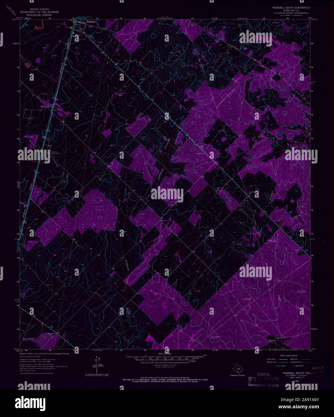 USGS TOPO Map Texas TX Pearsall South 114878 1964 24000 Inverted Restoration Stock Photohttps://www.alamy.com/image-license-details/?v=1https://www.alamy.com/usgs-topo-map-texas-tx-pearsall-south-114878-1964-24000-inverted-restoration-image332571427.html
RM2A91X6Y–USGS TOPO Map Texas TX Pearsall South 114878 1964 24000 Inverted Restoration
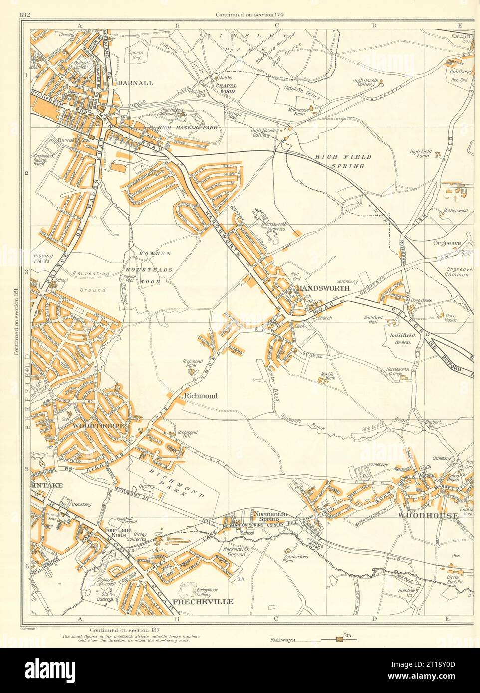 SHEFFIELD Woodhouse Handsworth Richmond Darnall Frecheville Catcliffe 1935 map Stock Photohttps://www.alamy.com/image-license-details/?v=1https://www.alamy.com/sheffield-woodhouse-handsworth-richmond-darnall-frecheville-catcliffe-1935-map-image568753597.html
RF2T18Y0D–SHEFFIELD Woodhouse Handsworth Richmond Darnall Frecheville Catcliffe 1935 map
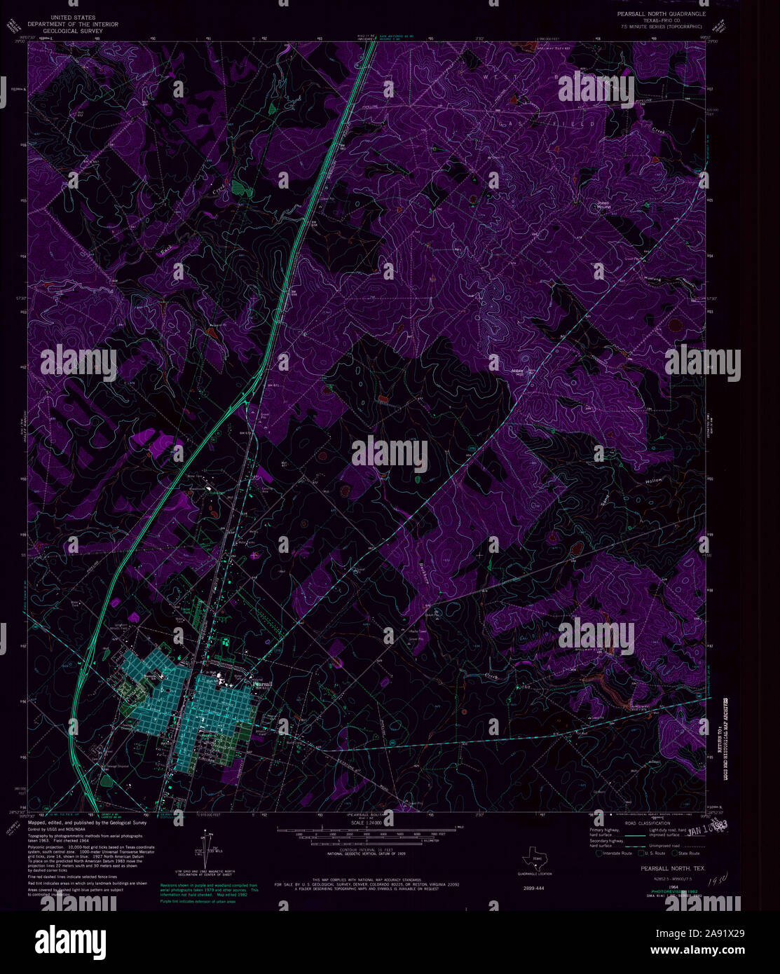 USGS TOPO Map Texas TX Pearsall North 114877 1964 24000 Inverted Restoration Stock Photohttps://www.alamy.com/image-license-details/?v=1https://www.alamy.com/usgs-topo-map-texas-tx-pearsall-north-114877-1964-24000-inverted-restoration-image332571297.html
RM2A91X29–USGS TOPO Map Texas TX Pearsall North 114877 1964 24000 Inverted Restoration
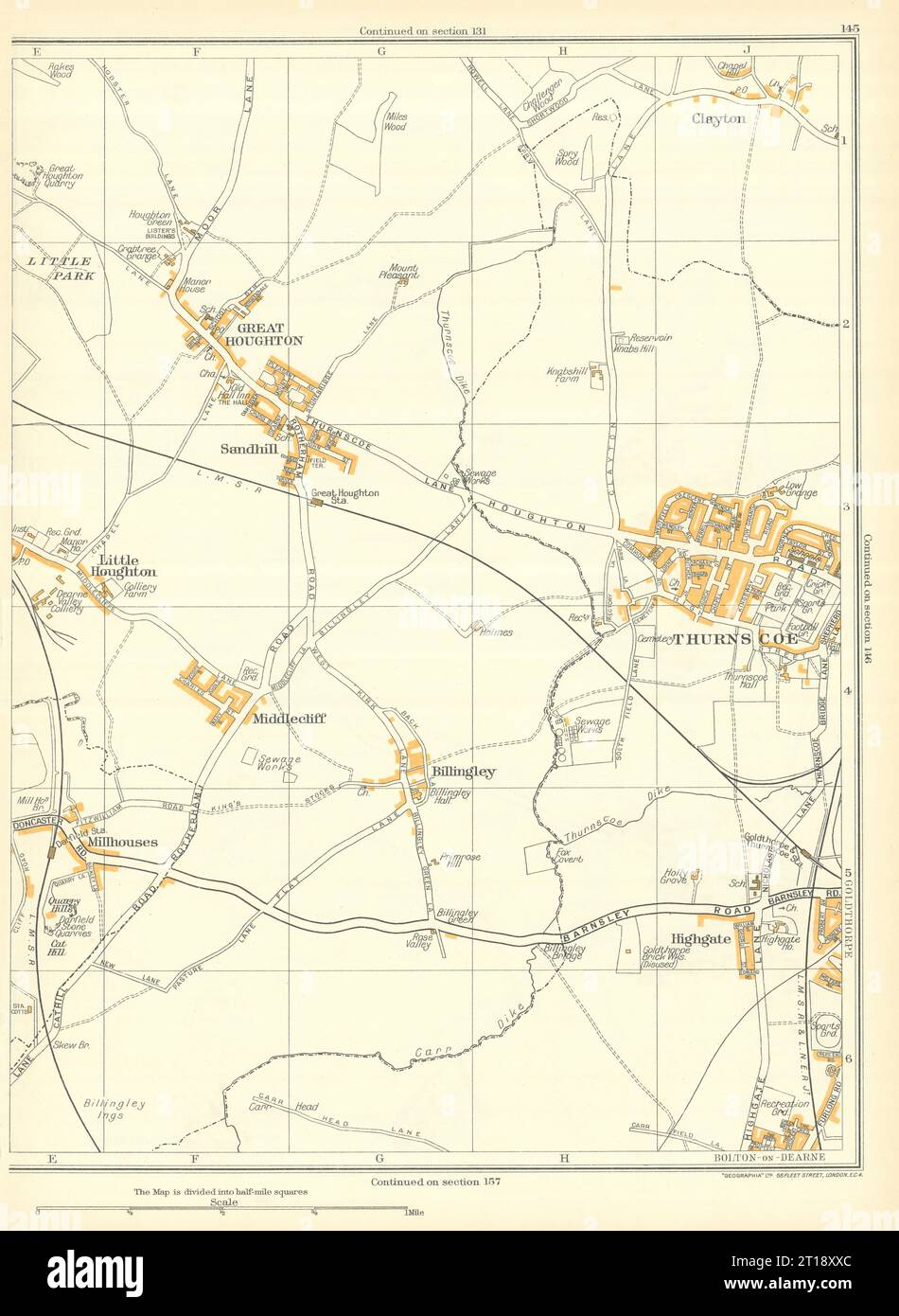 THURNSCOE Clayton Billingley Middlecliffe Great Houghton Goldthorpe 1935 map Stock Photohttps://www.alamy.com/image-license-details/?v=1https://www.alamy.com/thurnscoe-clayton-billingley-middlecliffe-great-houghton-goldthorpe-1935-map-image568753540.html
RF2T18XXC–THURNSCOE Clayton Billingley Middlecliffe Great Houghton Goldthorpe 1935 map
 USGS TOPO Map Texas TX Pearsall 1-b 128402 1925 48000 Inverted Restoration Stock Photohttps://www.alamy.com/image-license-details/?v=1https://www.alamy.com/usgs-topo-map-texas-tx-pearsall-1-b-128402-1925-48000-inverted-restoration-image332571194.html
RM2A91WXJ–USGS TOPO Map Texas TX Pearsall 1-b 128402 1925 48000 Inverted Restoration
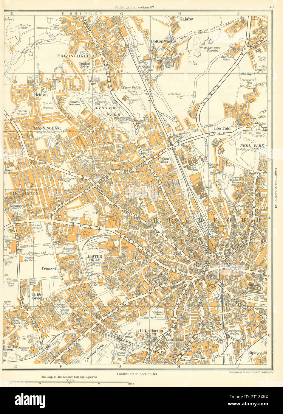 BRADFORD Princeville Lister Hills Frizinghall Manningham Girlington 1935 map Stock Photohttps://www.alamy.com/image-license-details/?v=1https://www.alamy.com/bradford-princeville-lister-hills-frizinghall-manningham-girlington-1935-map-image568753358.html
RF2T18XKX–BRADFORD Princeville Lister Hills Frizinghall Manningham Girlington 1935 map
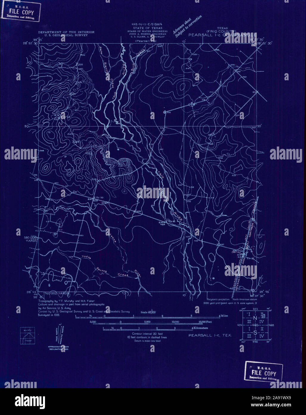 USGS TOPO Map Texas TX Pearsall 1-c 128403 1925 48000 Inverted Restoration Stock Photohttps://www.alamy.com/image-license-details/?v=1https://www.alamy.com/usgs-topo-map-texas-tx-pearsall-1-c-128403-1925-48000-inverted-restoration-image332571185.html
RM2A91WX9–USGS TOPO Map Texas TX Pearsall 1-c 128403 1925 48000 Inverted Restoration
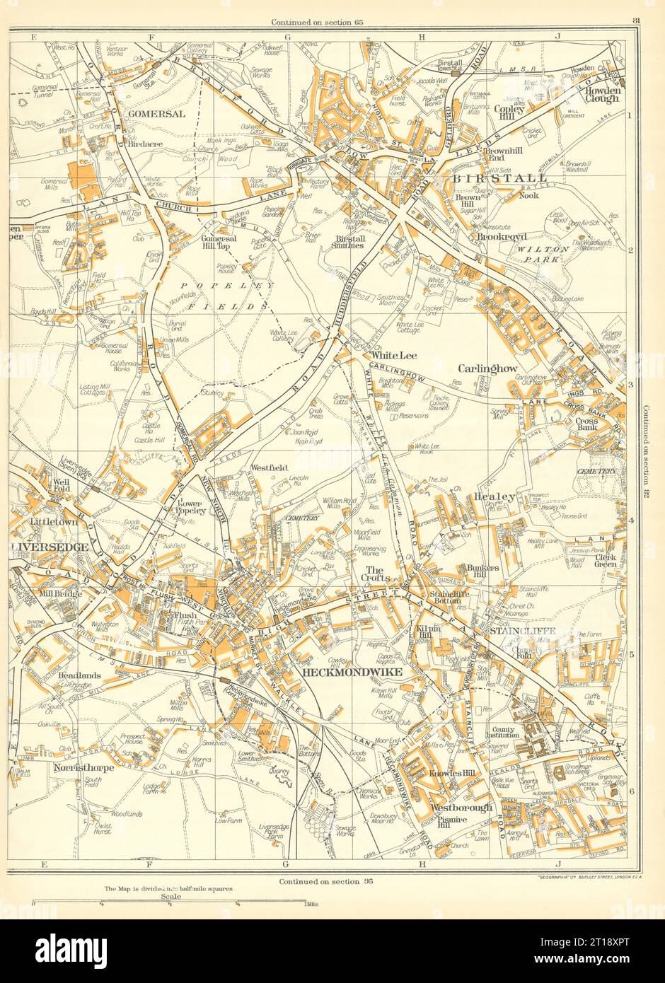 YORKS Birstall Liversedge Heckmondwike Staincliffe Gomersal Carlinghow 1935 map Stock Photohttps://www.alamy.com/image-license-details/?v=1https://www.alamy.com/yorks-birstall-liversedge-heckmondwike-staincliffe-gomersal-carlinghow-1935-map-image568753440.html
RF2T18XPT–YORKS Birstall Liversedge Heckmondwike Staincliffe Gomersal Carlinghow 1935 map
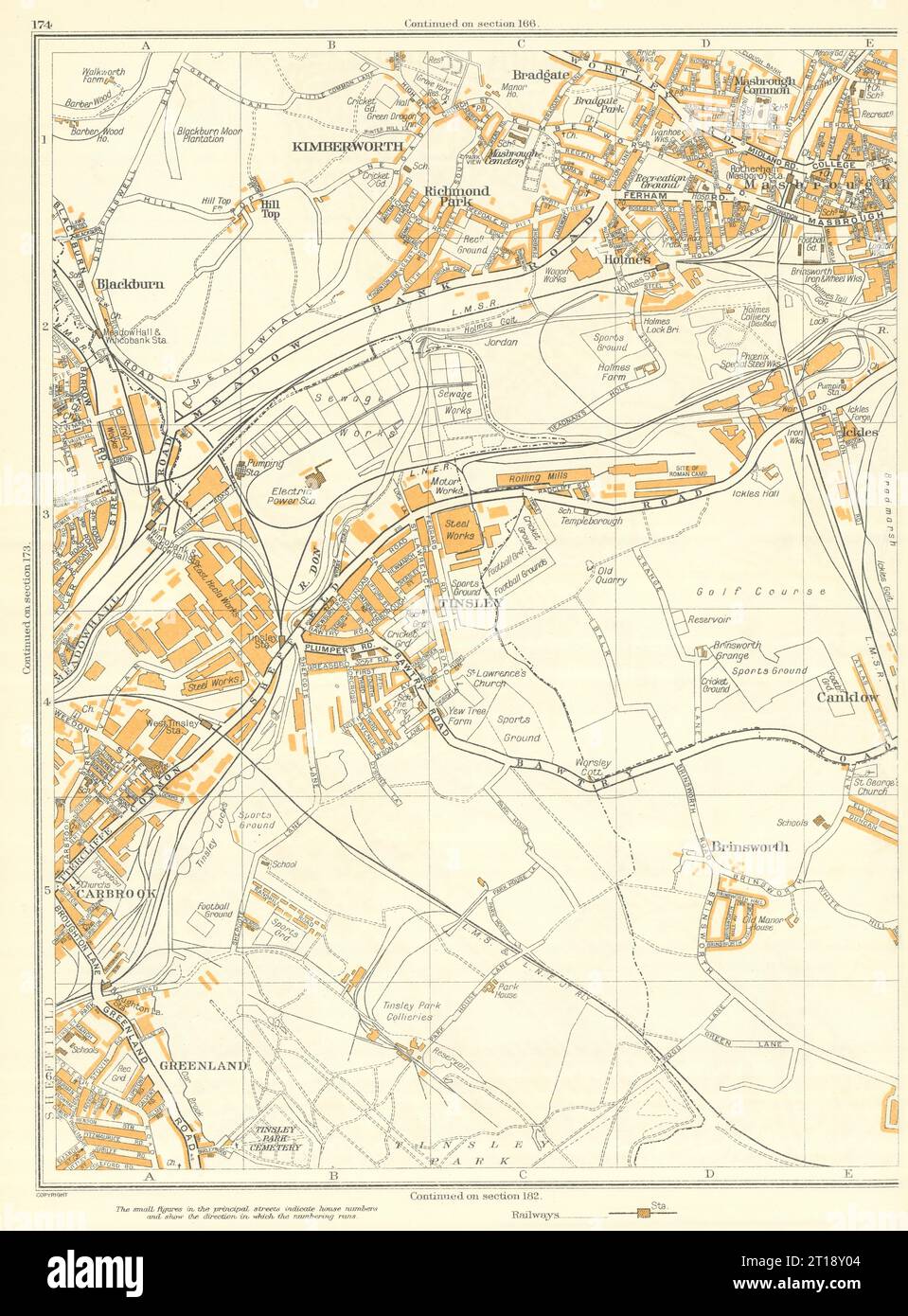 ROTHERHAM SHEFFIELD Brinsworth Masbrough Tinsley Kimberworth Carbrook 1935 map Stock Photohttps://www.alamy.com/image-license-details/?v=1https://www.alamy.com/rotherham-sheffield-brinsworth-masbrough-tinsley-kimberworth-carbrook-1935-map-image568753588.html
RF2T18Y04–ROTHERHAM SHEFFIELD Brinsworth Masbrough Tinsley Kimberworth Carbrook 1935 map
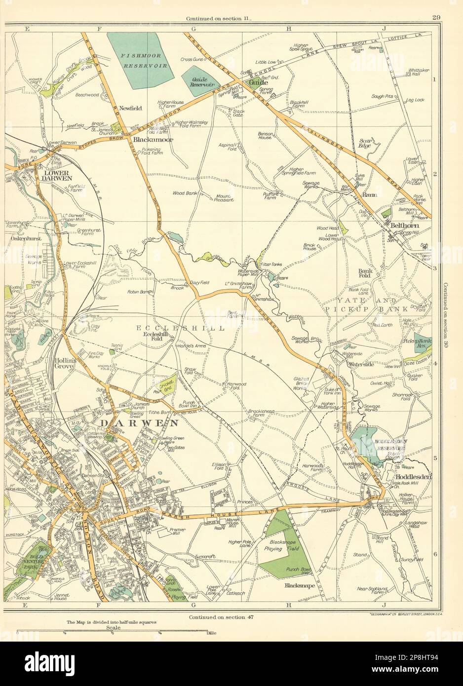 LANCASHIRE Darwen Lower Blackamoor Belthorn Hollin's Grove Hoddlesden 1935 map Stock Photohttps://www.alamy.com/image-license-details/?v=1https://www.alamy.com/lancashire-darwen-lower-blackamoor-belthorn-hollins-grove-hoddlesden-1935-map-image538830912.html
RF2P8HT94–LANCASHIRE Darwen Lower Blackamoor Belthorn Hollin's Grove Hoddlesden 1935 map
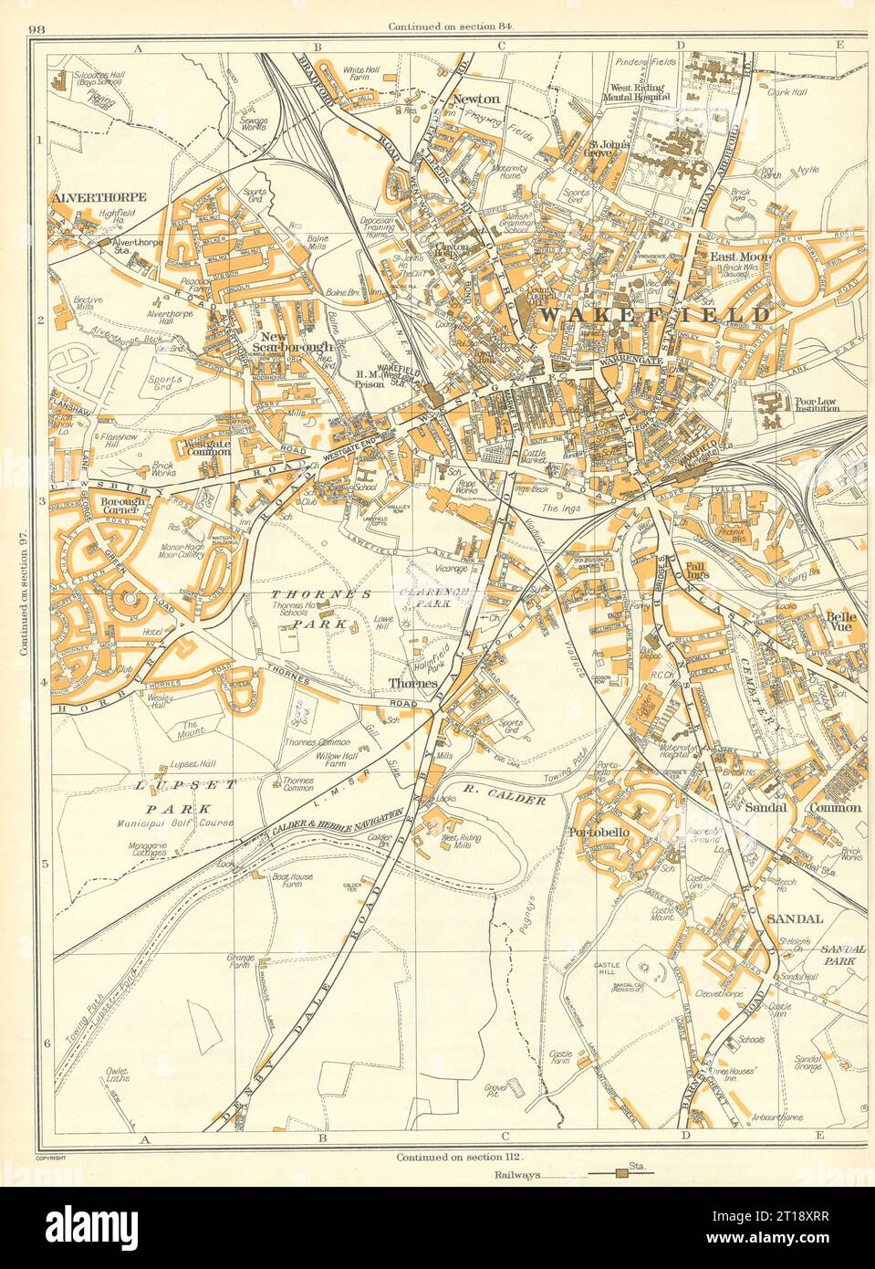 WAKEFIELD Alverthorpe Sandal Portobello Thornes New Scarborough Newton 1935 map Stock Photohttps://www.alamy.com/image-license-details/?v=1https://www.alamy.com/wakefield-alverthorpe-sandal-portobello-thornes-new-scarborough-newton-1935-map-image568753467.html
RF2T18XRR–WAKEFIELD Alverthorpe Sandal Portobello Thornes New Scarborough Newton 1935 map
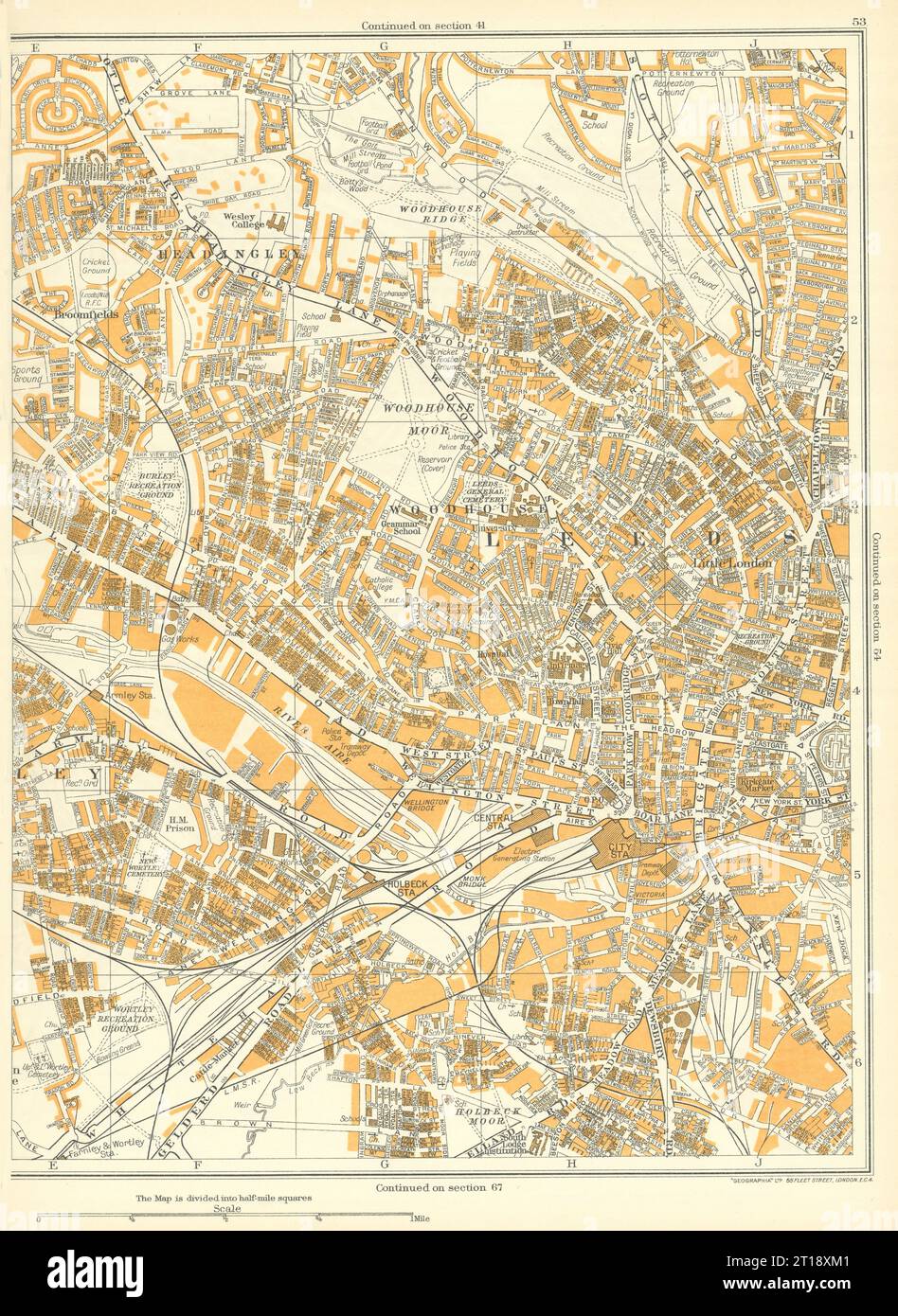 LEEDS Woodhouse Moor Woodhouse Broomfields Headingley Armley 1935 old map Stock Photohttps://www.alamy.com/image-license-details/?v=1https://www.alamy.com/leeds-woodhouse-moor-woodhouse-broomfields-headingley-armley-1935-old-map-image568753361.html
RF2T18XM1–LEEDS Woodhouse Moor Woodhouse Broomfields Headingley Armley 1935 old map
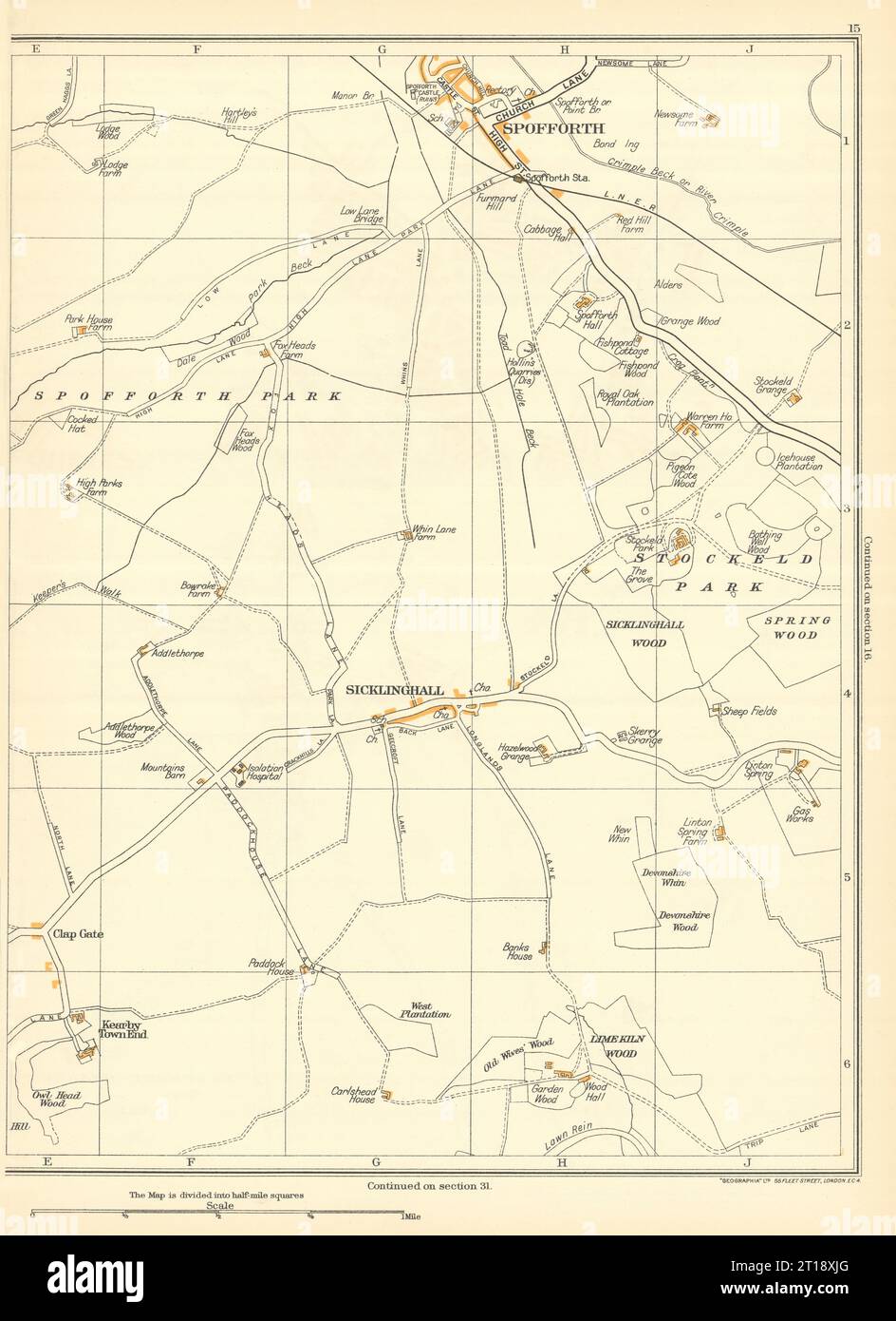 YORKSHIRE Spofforth Spring Wood Sicklinghall Limekiln Stockeld Park 1935 map Stock Photohttps://www.alamy.com/image-license-details/?v=1https://www.alamy.com/yorkshire-spofforth-spring-wood-sicklinghall-limekiln-stockeld-park-1935-map-image568753320.html
RF2T18XJG–YORKSHIRE Spofforth Spring Wood Sicklinghall Limekiln Stockeld Park 1935 map
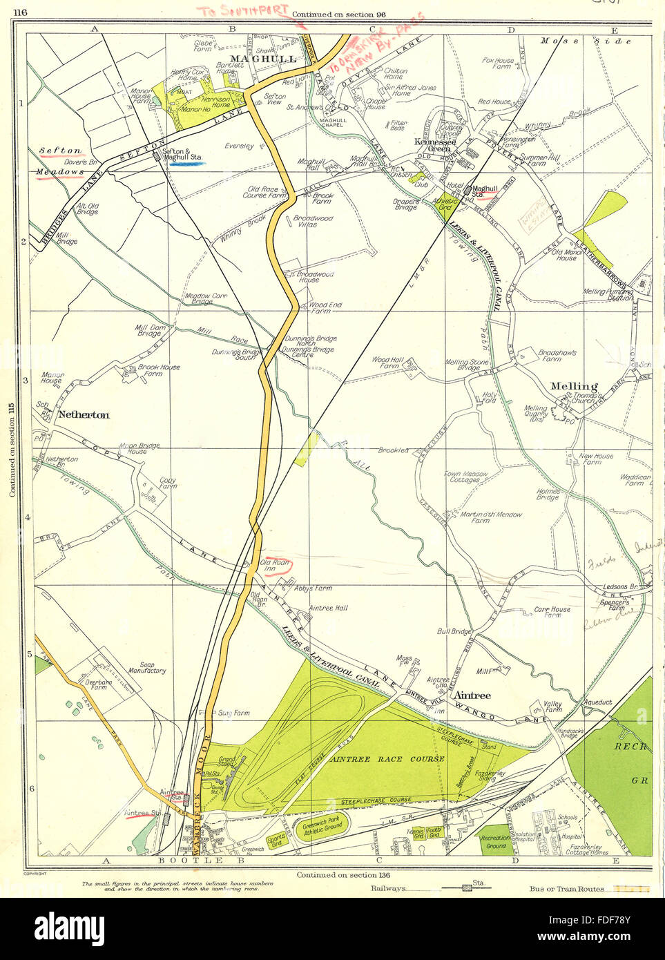 LANCASHIRE Bootle Maghull Melling Netherton Aintree Kennessee Green 1935 map Stock Photohttps://www.alamy.com/image-license-details/?v=1https://www.alamy.com/stock-photo-lancashire-bootle-maghull-melling-netherton-aintree-kennessee-green-94377387.html
RFFDF78Y–LANCASHIRE Bootle Maghull Melling Netherton Aintree Kennessee Green 1935 map
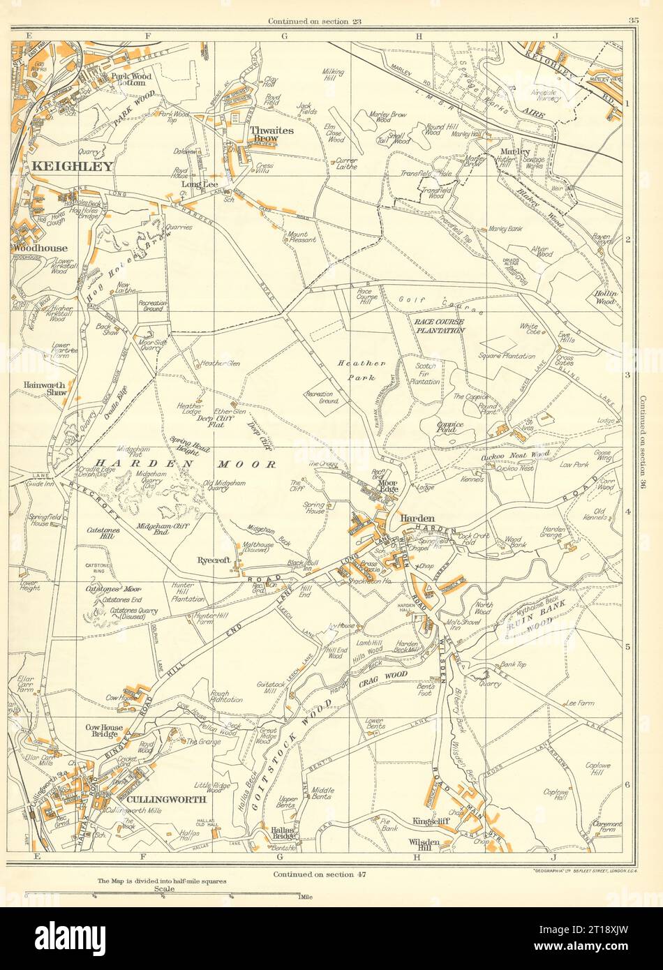 KEIGHLEY Woodhouse Cullingworth Thwaites Brow Ryecroft Harden 1935 old map Stock Photohttps://www.alamy.com/image-license-details/?v=1https://www.alamy.com/keighley-woodhouse-cullingworth-thwaites-brow-ryecroft-harden-1935-old-map-image568753329.html
RF2T18XJW–KEIGHLEY Woodhouse Cullingworth Thwaites Brow Ryecroft Harden 1935 old map
 LANCASHIRE Shawforth Millgate Facit Cheetham Hill Whitworth Broadley 1935 map Stock Photohttps://www.alamy.com/image-license-details/?v=1https://www.alamy.com/lancashire-shawforth-millgate-facit-cheetham-hill-whitworth-broadley-1935-map-image538832736.html
RF2P8HXJ8–LANCASHIRE Shawforth Millgate Facit Cheetham Hill Whitworth Broadley 1935 map
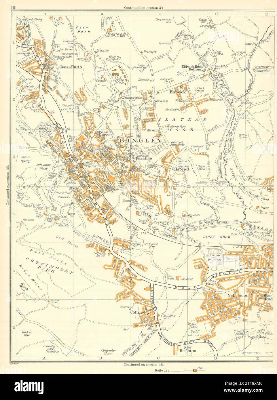 BINGLEY New Brighton Cottingley Glistead Crossflatts Eldwick 1935 old map Stock Photohttps://www.alamy.com/image-license-details/?v=1https://www.alamy.com/bingley-new-brighton-cottingley-glistead-crossflatts-eldwick-1935-old-map-image568753360.html
RF2T18XM0–BINGLEY New Brighton Cottingley Glistead Crossflatts Eldwick 1935 old map
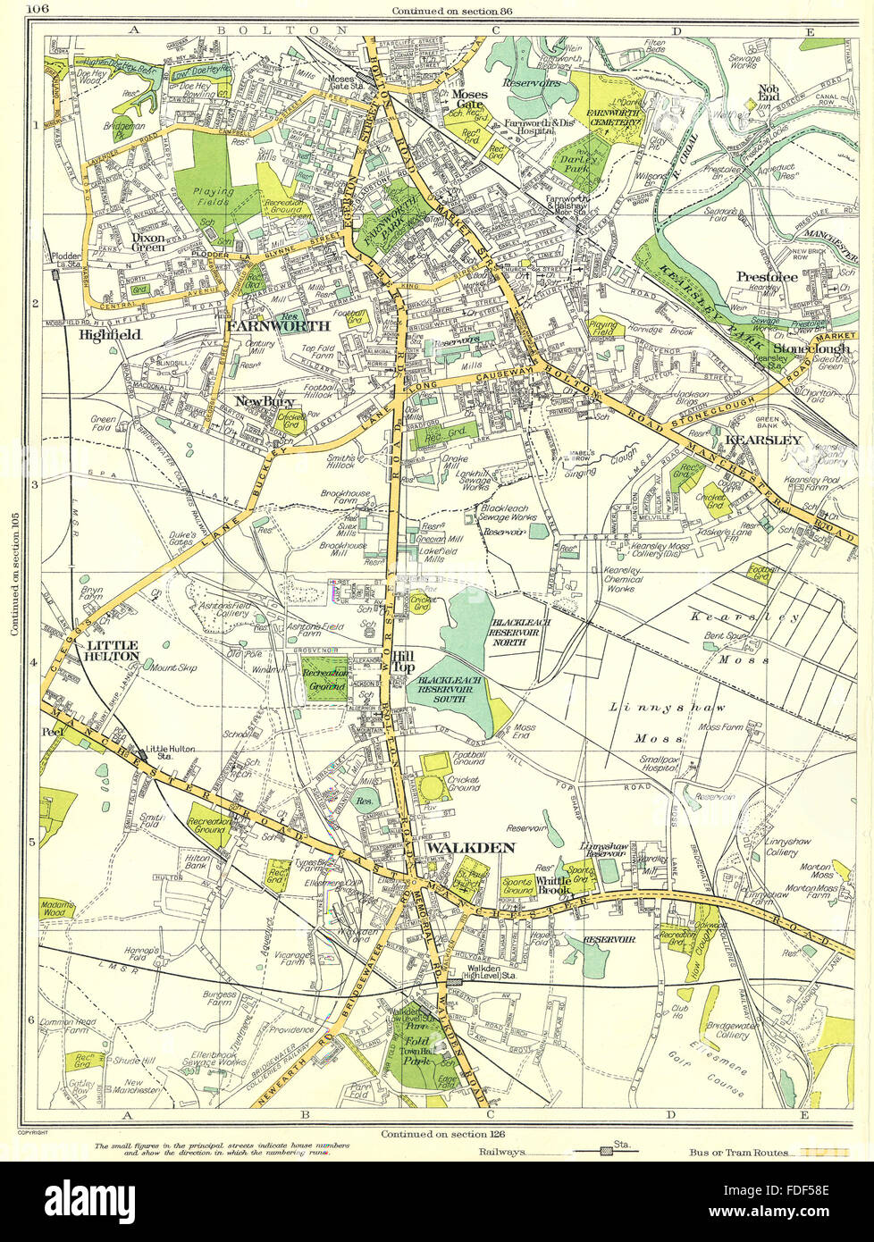 LANCASHIRE Walkden Hilltop Little Hulton Farnworth Highfield Kearsley 1935 map Stock Photohttps://www.alamy.com/image-license-details/?v=1https://www.alamy.com/stock-photo-lancashire-walkden-hilltop-little-hulton-farnworth-highfield-kearsley-94375806.html
RFFDF58E–LANCASHIRE Walkden Hilltop Little Hulton Farnworth Highfield Kearsley 1935 map