Relief map belgium relief Stock Vectors & Vector Art
(74)See relief map belgium relief stock video clipsRelief map belgium relief Stock Vectors & Vector Art
 Topographic relief map of the city of HASSELT, BELGIUM with solid contour lines and name tag on vintage background Stock Vectorhttps://www.alamy.com/image-license-details/?v=1https://www.alamy.com/topographic-relief-map-of-the-city-of-hasselt-belgium-with-solid-contour-lines-and-name-tag-on-vintage-background-image544610484.html
RF2PJ146C–Topographic relief map of the city of HASSELT, BELGIUM with solid contour lines and name tag on vintage background
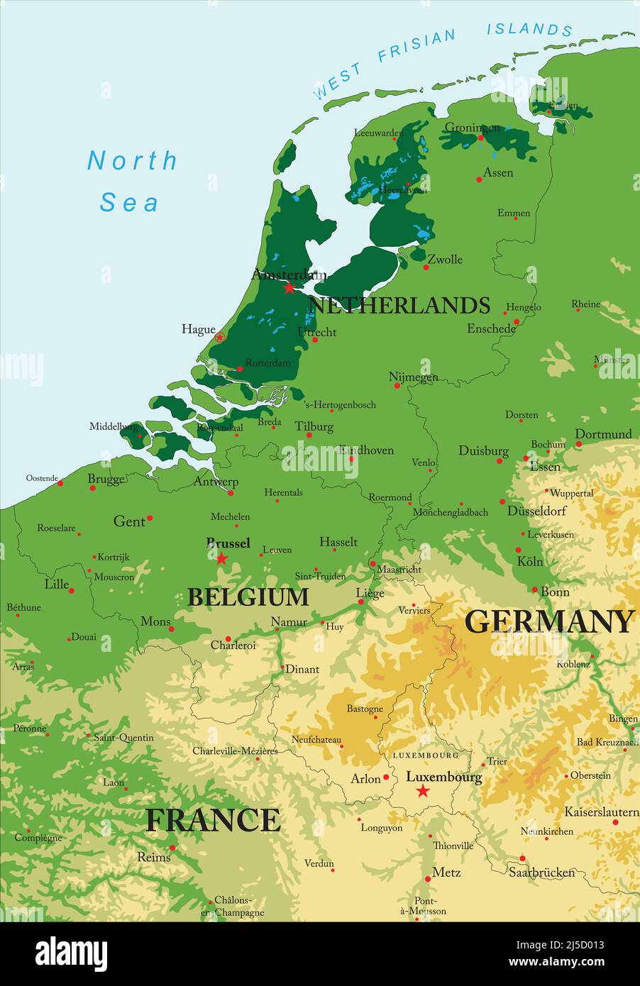 Highly detailed physical map of Benelux in vector format,with states borders, major cities and all the relief forms . Stock Vectorhttps://www.alamy.com/image-license-details/?v=1https://www.alamy.com/highly-detailed-physical-map-of-benelux-in-vector-formatwith-states-borders-major-cities-and-all-the-relief-forms-image468038623.html
RF2J5D013–Highly detailed physical map of Benelux in vector format,with states borders, major cities and all the relief forms .
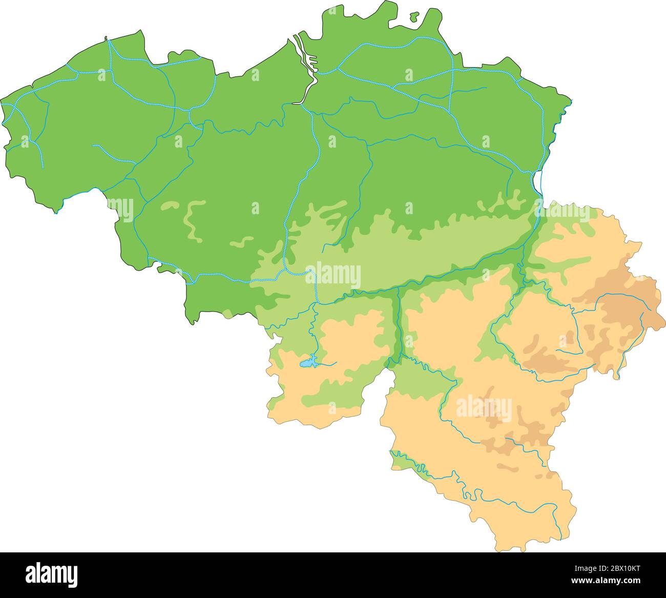 High detailed Belgium physical map. Stock Vectorhttps://www.alamy.com/image-license-details/?v=1https://www.alamy.com/high-detailed-belgium-physical-map-image360210924.html
RF2BX10KT–High detailed Belgium physical map.
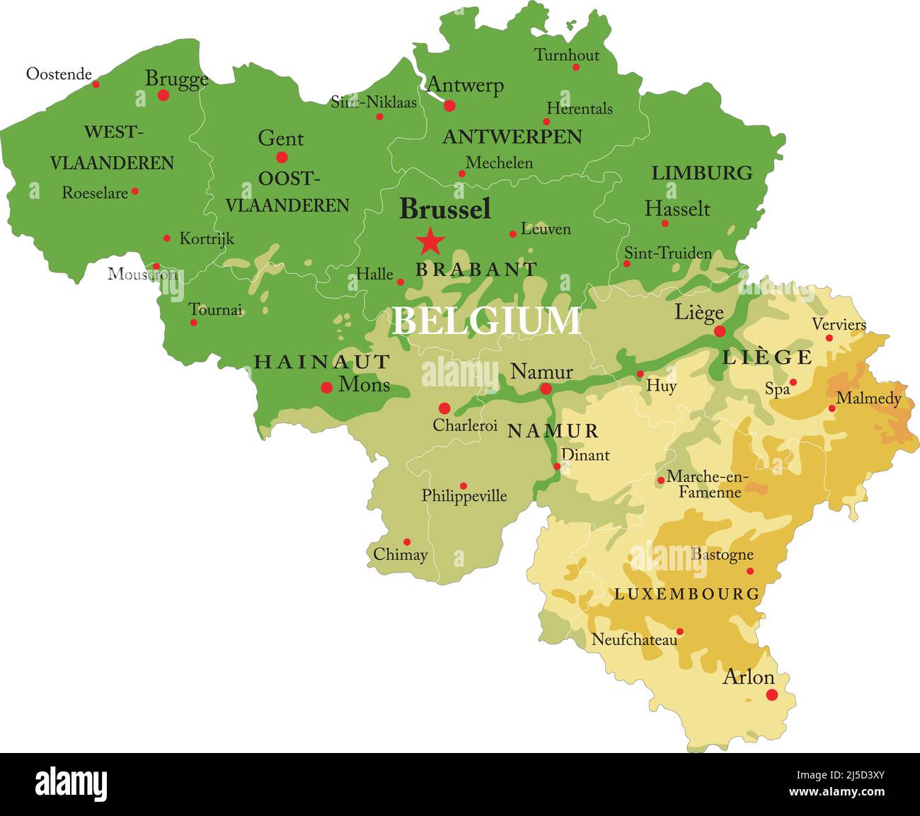 Highly detailed physical map of Belgium,in vector format,with all the relief forms,regions and big cities. Stock Vectorhttps://www.alamy.com/image-license-details/?v=1https://www.alamy.com/highly-detailed-physical-map-of-belgiumin-vector-formatwith-all-the-relief-formsregions-and-big-cities-image468041699.html
RF2J5D3XY–Highly detailed physical map of Belgium,in vector format,with all the relief forms,regions and big cities.
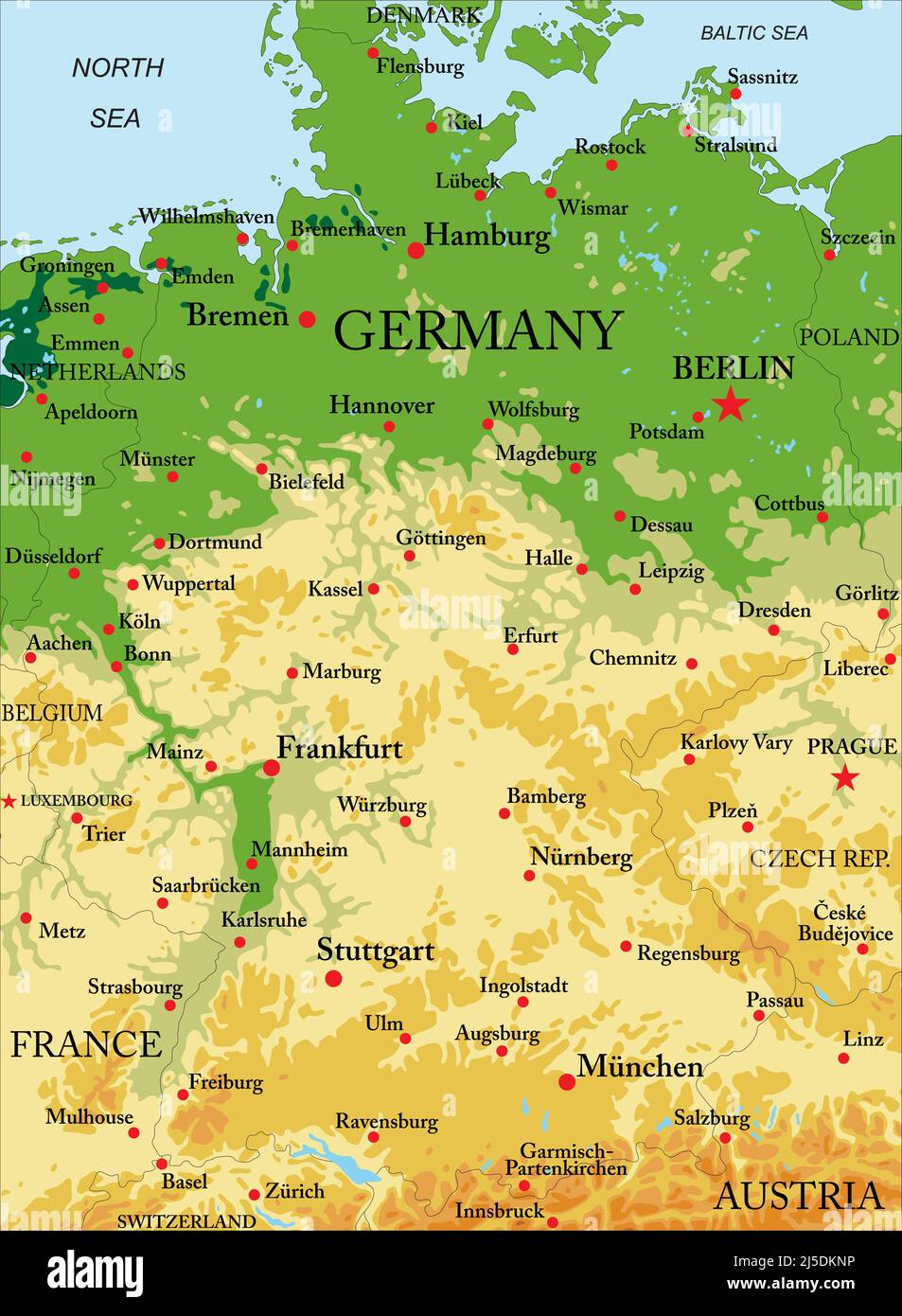 Highly detailed physical map of Germany,in vector format,with all the relief forms,regions and big cities. Stock Vectorhttps://www.alamy.com/image-license-details/?v=1https://www.alamy.com/highly-detailed-physical-map-of-germanyin-vector-formatwith-all-the-relief-formsregions-and-big-cities-image468054098.html
RF2J5DKNP–Highly detailed physical map of Germany,in vector format,with all the relief forms,regions and big cities.
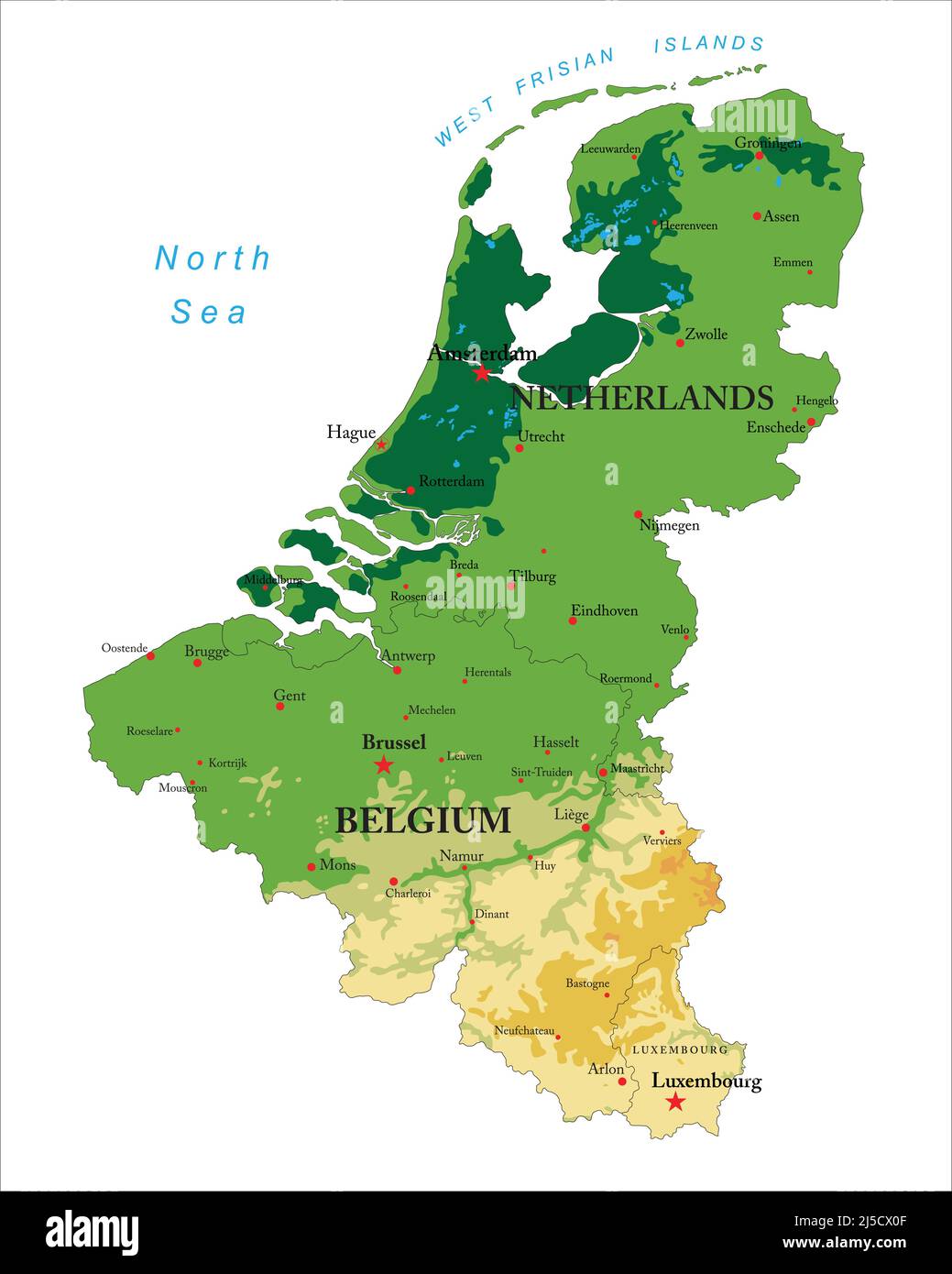 Highly detailed physical map of Benelux in vector format,with states borders, major cities and all the relief forms . Stock Vectorhttps://www.alamy.com/image-license-details/?v=1https://www.alamy.com/highly-detailed-physical-map-of-benelux-in-vector-formatwith-states-borders-major-cities-and-all-the-relief-forms-image468037039.html
RF2J5CX0F–Highly detailed physical map of Benelux in vector format,with states borders, major cities and all the relief forms .
 Topographic relief map of the city of HASSELT, BELGIUM with solid contour lines and name tag on vintage background Stock Vectorhttps://www.alamy.com/image-license-details/?v=1https://www.alamy.com/topographic-relief-map-of-the-city-of-hasselt-belgium-with-solid-contour-lines-and-name-tag-on-vintage-background-image544610392.html
RF2PJ1434–Topographic relief map of the city of HASSELT, BELGIUM with solid contour lines and name tag on vintage background
 Topographic relief map of GHENT, BELGIUM Stock Vectorhttps://www.alamy.com/image-license-details/?v=1https://www.alamy.com/topographic-relief-map-of-ghent-belgium-image531636536.html
RF2NTX3R4–Topographic relief map of GHENT, BELGIUM
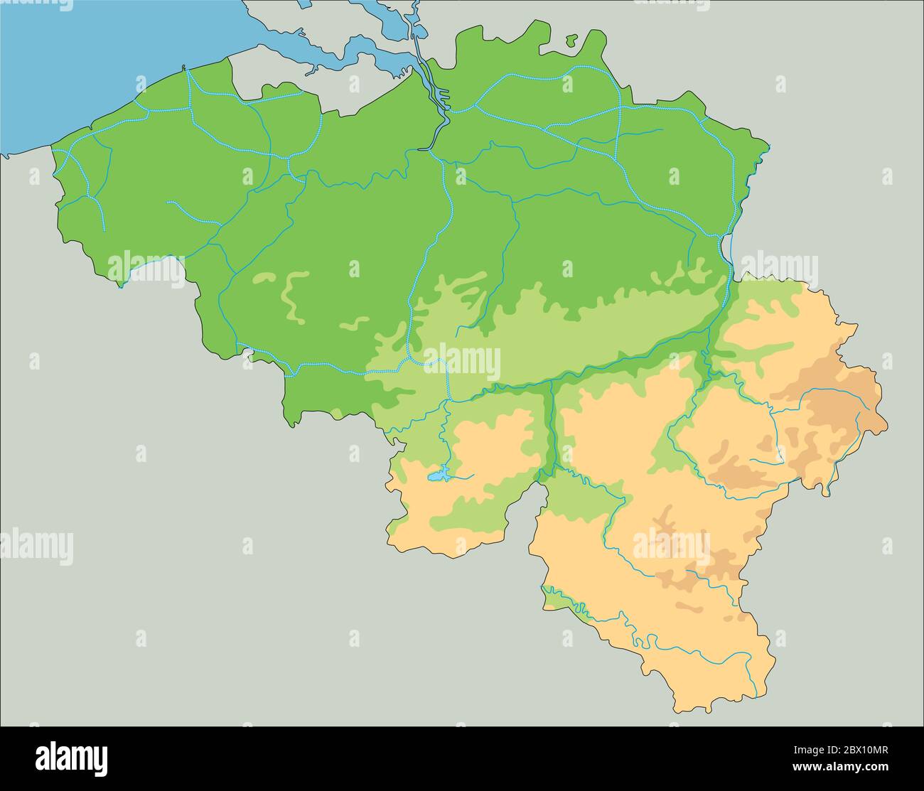 High detailed Belgium physical map. Stock Vectorhttps://www.alamy.com/image-license-details/?v=1https://www.alamy.com/high-detailed-belgium-physical-map-image360210951.html
RF2BX10MR–High detailed Belgium physical map.
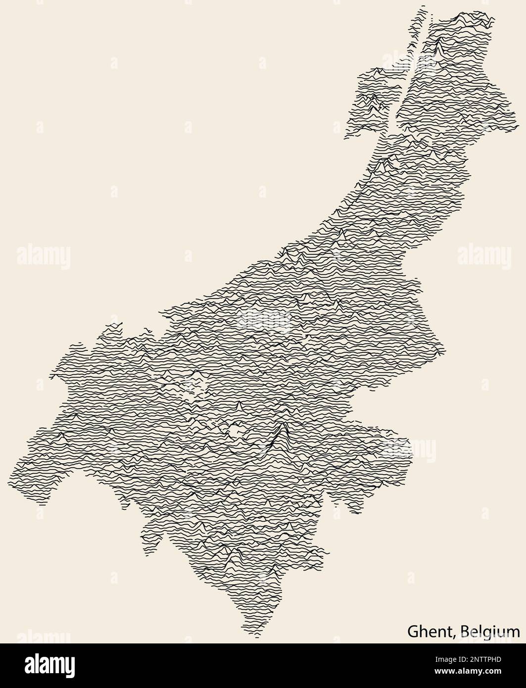 Topographic relief map of GHENT, BELGIUM Stock Vectorhttps://www.alamy.com/image-license-details/?v=1https://www.alamy.com/topographic-relief-map-of-ghent-belgium-image531607369.html
RF2NTTPHD–Topographic relief map of GHENT, BELGIUM
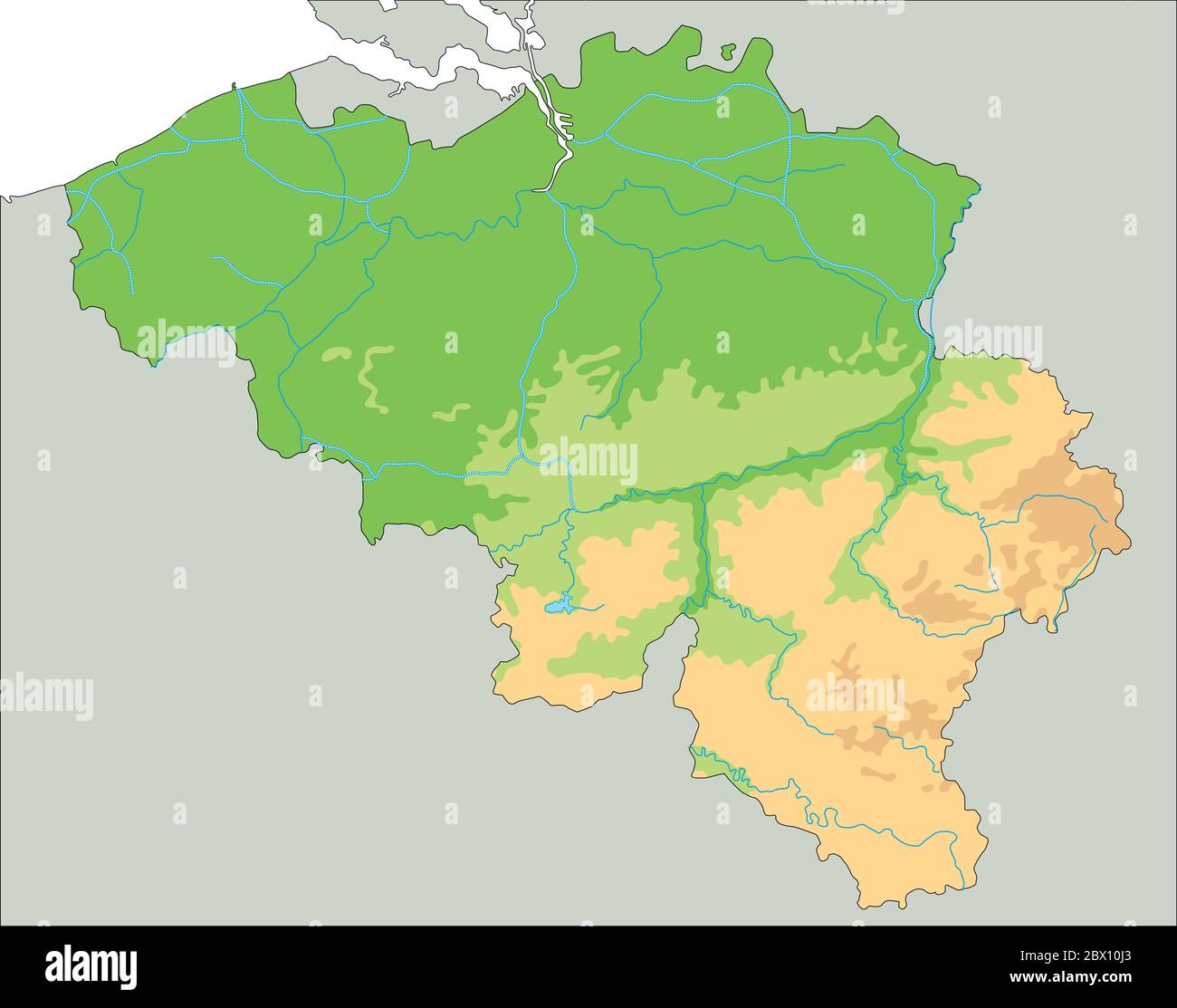 High detailed Belgium physical map. Stock Vectorhttps://www.alamy.com/image-license-details/?v=1https://www.alamy.com/high-detailed-belgium-physical-map-image360210875.html
RF2BX10J3–High detailed Belgium physical map.
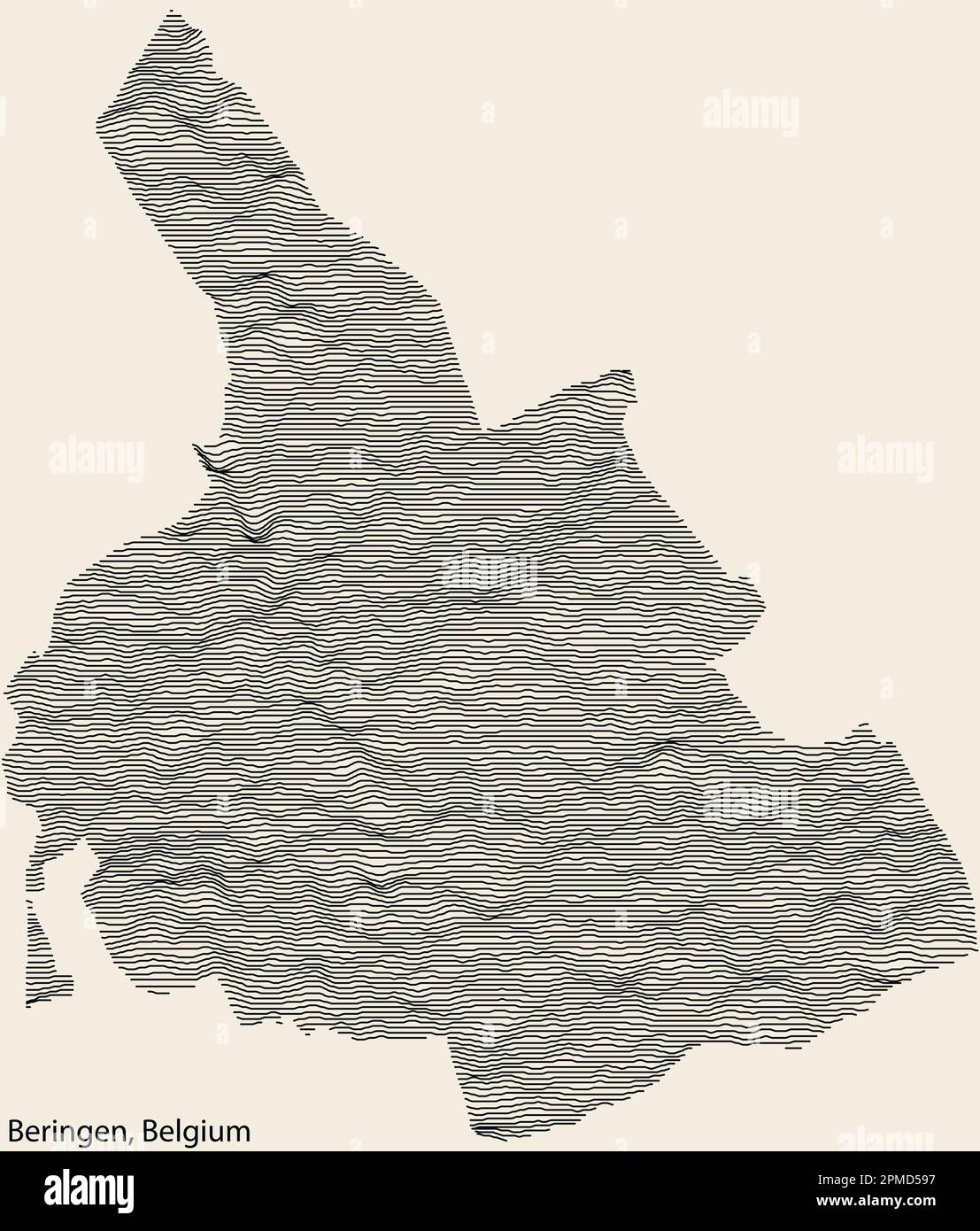 Topographic relief map of the city of BERINGEN, BELGIUM with solid contour lines and name tag on vintage background Stock Vectorhttps://www.alamy.com/image-license-details/?v=1https://www.alamy.com/topographic-relief-map-of-the-city-of-beringen-belgium-with-solid-contour-lines-and-name-tag-on-vintage-background-image546104083.html
RF2PMD597–Topographic relief map of the city of BERINGEN, BELGIUM with solid contour lines and name tag on vintage background
 High detailed Belgium physical map with labeling. Stock Vectorhttps://www.alamy.com/image-license-details/?v=1https://www.alamy.com/high-detailed-belgium-physical-map-with-labeling-image360210881.html
RF2BX10J9–High detailed Belgium physical map with labeling.
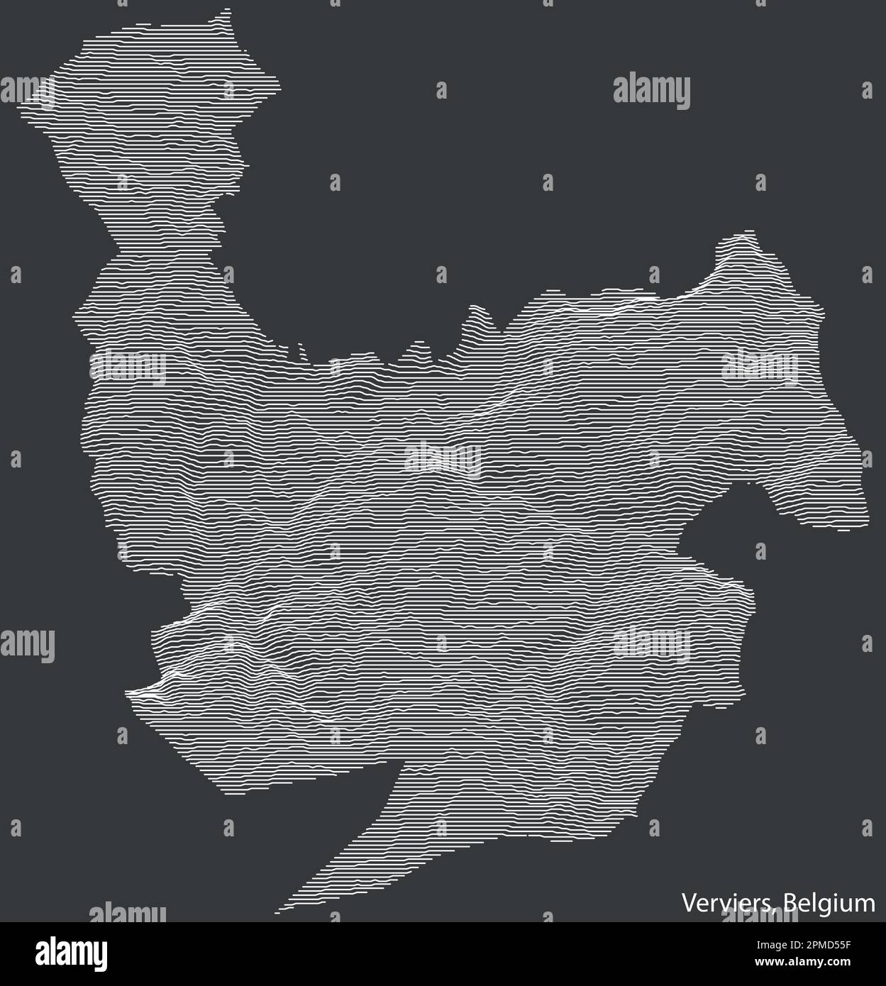 Topographic relief map of the city of VERVIERS, BELGIUM with solid contour lines and name tag on vintage background Stock Vectorhttps://www.alamy.com/image-license-details/?v=1https://www.alamy.com/topographic-relief-map-of-the-city-of-verviers-belgium-with-solid-contour-lines-and-name-tag-on-vintage-background-image546103979.html
RF2PMD55F–Topographic relief map of the city of VERVIERS, BELGIUM with solid contour lines and name tag on vintage background
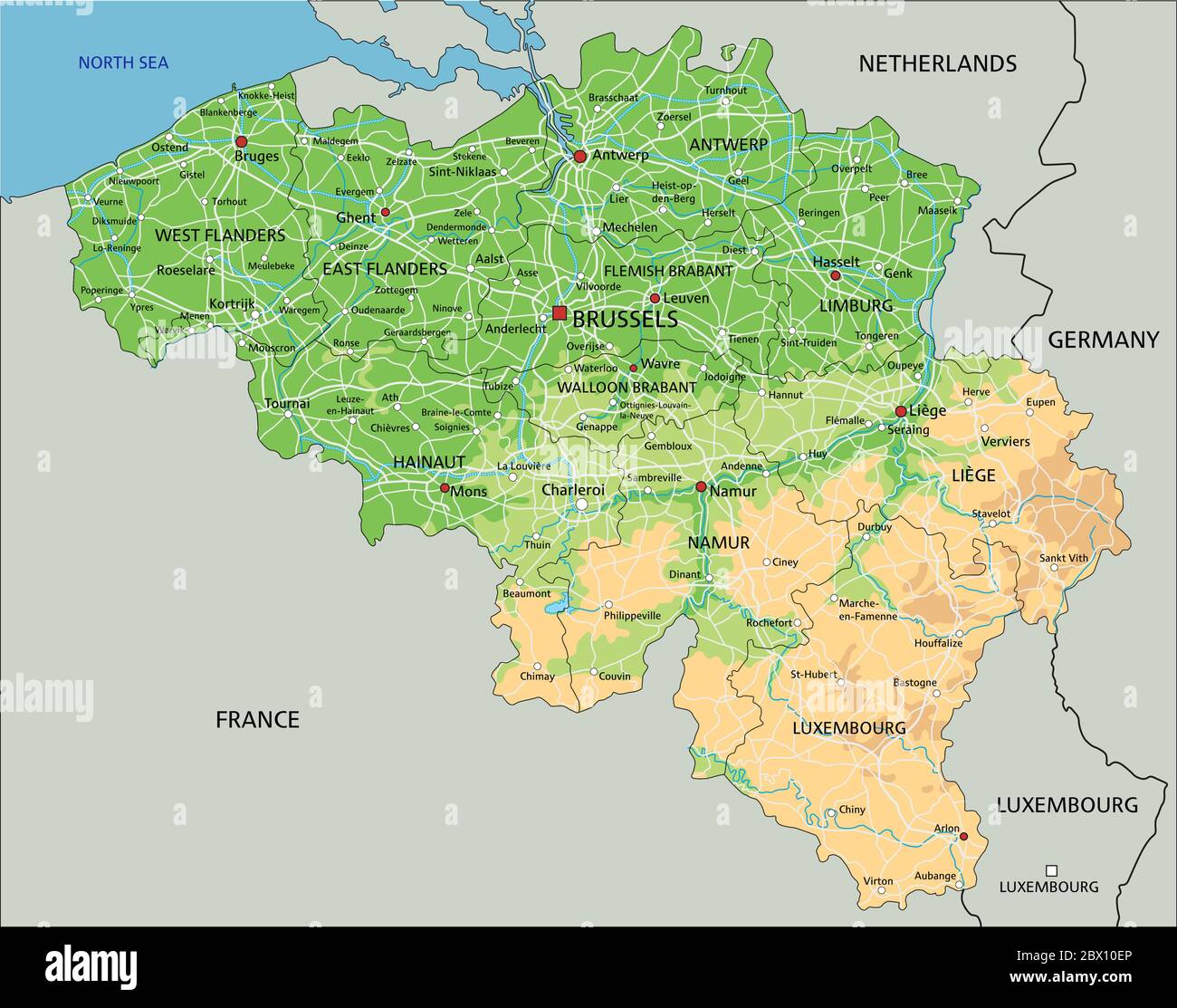 High detailed Belgium physical map with labeling. Stock Vectorhttps://www.alamy.com/image-license-details/?v=1https://www.alamy.com/high-detailed-belgium-physical-map-with-labeling-image360210782.html
RF2BX10EP–High detailed Belgium physical map with labeling.
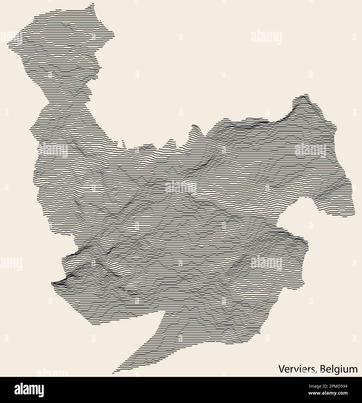 Topographic relief map of the city of VERVIERS, BELGIUM with solid contour lines and name tag on vintage background Stock Vectorhttps://www.alamy.com/image-license-details/?v=1https://www.alamy.com/topographic-relief-map-of-the-city-of-verviers-belgium-with-solid-contour-lines-and-name-tag-on-vintage-background-image546104080.html
RF2PMD594–Topographic relief map of the city of VERVIERS, BELGIUM with solid contour lines and name tag on vintage background
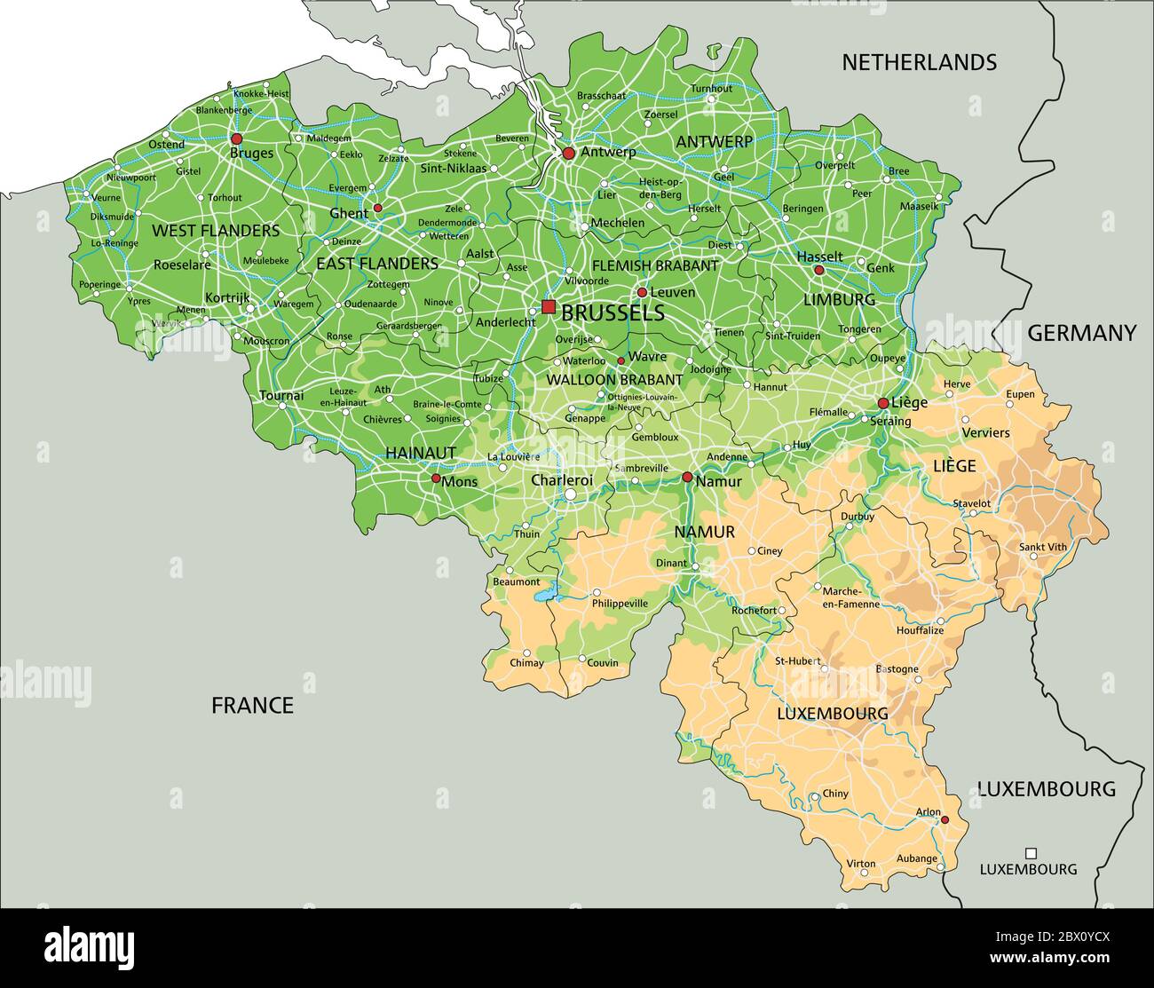 High detailed Belgium physical map with labeling. Stock Vectorhttps://www.alamy.com/image-license-details/?v=1https://www.alamy.com/high-detailed-belgium-physical-map-with-labeling-image360209946.html
RF2BX0YCX–High detailed Belgium physical map with labeling.
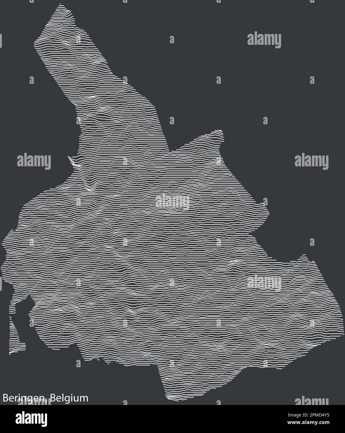 Topographic relief map of the city of BERINGEN, BELGIUM with solid contour lines and name tag on vintage background Stock Vectorhttps://www.alamy.com/image-license-details/?v=1https://www.alamy.com/topographic-relief-map-of-the-city-of-beringen-belgium-with-solid-contour-lines-and-name-tag-on-vintage-background-image546103801.html
RF2PMD4Y5–Topographic relief map of the city of BERINGEN, BELGIUM with solid contour lines and name tag on vintage background
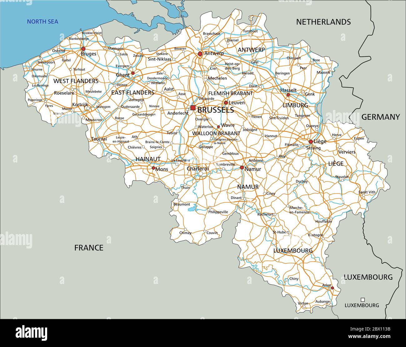 High detailed Belgium road map with labeling. Stock Vectorhttps://www.alamy.com/image-license-details/?v=1https://www.alamy.com/high-detailed-belgium-road-map-with-labeling-image360211247.html
RF2BX113B–High detailed Belgium road map with labeling.
 Topographic relief map of the city of MOUSCRON, BELGIUM with solid contour lines and name tag on vintage background Stock Vectorhttps://www.alamy.com/image-license-details/?v=1https://www.alamy.com/topographic-relief-map-of-the-city-of-mouscron-belgium-with-solid-contour-lines-and-name-tag-on-vintage-background-image546103887.html
RF2PMD527–Topographic relief map of the city of MOUSCRON, BELGIUM with solid contour lines and name tag on vintage background
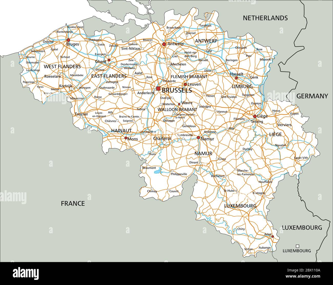 High detailed Belgium road map with labeling. Stock Vectorhttps://www.alamy.com/image-license-details/?v=1https://www.alamy.com/high-detailed-belgium-road-map-with-labeling-image360211162.html
RF2BX110A–High detailed Belgium road map with labeling.
 Topographic relief map of the city of MOUSCRON, BELGIUM with solid contour lines and name tag on vintage background Stock Vectorhttps://www.alamy.com/image-license-details/?v=1https://www.alamy.com/topographic-relief-map-of-the-city-of-mouscron-belgium-with-solid-contour-lines-and-name-tag-on-vintage-background-image546103977.html
RF2PMD55D–Topographic relief map of the city of MOUSCRON, BELGIUM with solid contour lines and name tag on vintage background
 Topographic relief map of the city of LA LOUVIÈRE, BELGIUM with solid contour lines and name tag on vintage background Stock Vectorhttps://www.alamy.com/image-license-details/?v=1https://www.alamy.com/topographic-relief-map-of-the-city-of-la-louvire-belgium-with-solid-contour-lines-and-name-tag-on-vintage-background-image543807152.html
RF2PGMFG0–Topographic relief map of the city of LA LOUVIÈRE, BELGIUM with solid contour lines and name tag on vintage background
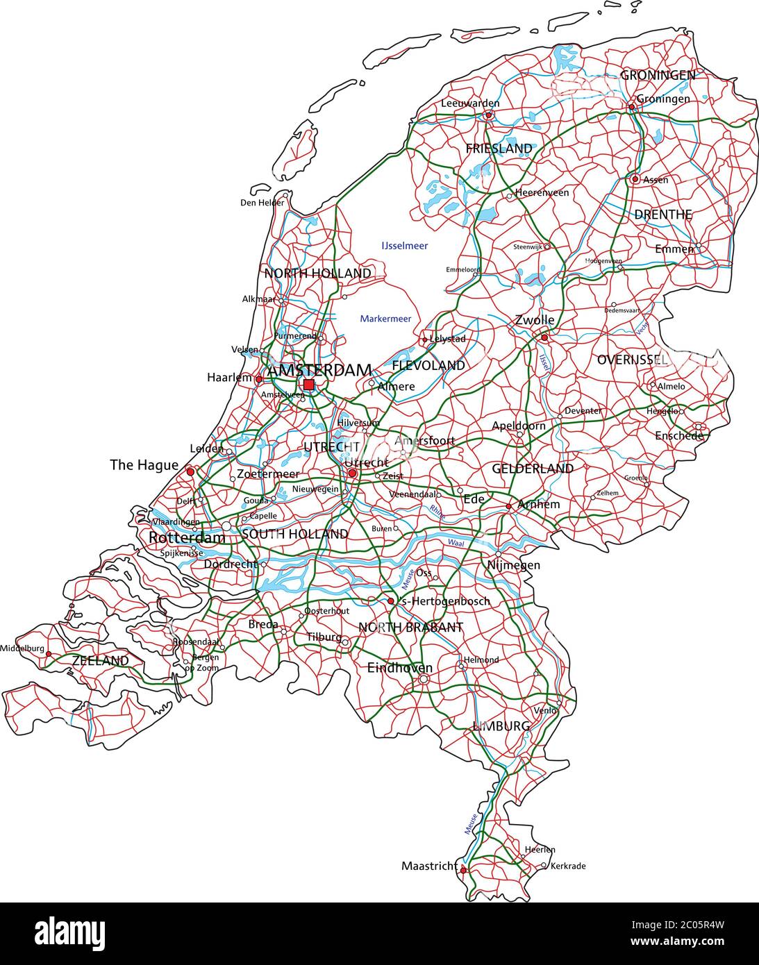 High detailed Netherlands road map with labeling. Stock Vectorhttps://www.alamy.com/image-license-details/?v=1https://www.alamy.com/high-detailed-netherlands-road-map-with-labeling-image361545657.html
RF2C05R4W–High detailed Netherlands road map with labeling.
 Topographic relief map of the city of LA LOUVIÈRE, BELGIUM with solid contour lines and name tag on vintage background Stock Vectorhttps://www.alamy.com/image-license-details/?v=1https://www.alamy.com/topographic-relief-map-of-the-city-of-la-louvire-belgium-with-solid-contour-lines-and-name-tag-on-vintage-background-image543807161.html
RF2PGMFG9–Topographic relief map of the city of LA LOUVIÈRE, BELGIUM with solid contour lines and name tag on vintage background
 Topographic relief map of ANTWERP, BELGIUM Stock Vectorhttps://www.alamy.com/image-license-details/?v=1https://www.alamy.com/topographic-relief-map-of-antwerp-belgium-image528226271.html
RF2NKANYY–Topographic relief map of ANTWERP, BELGIUM
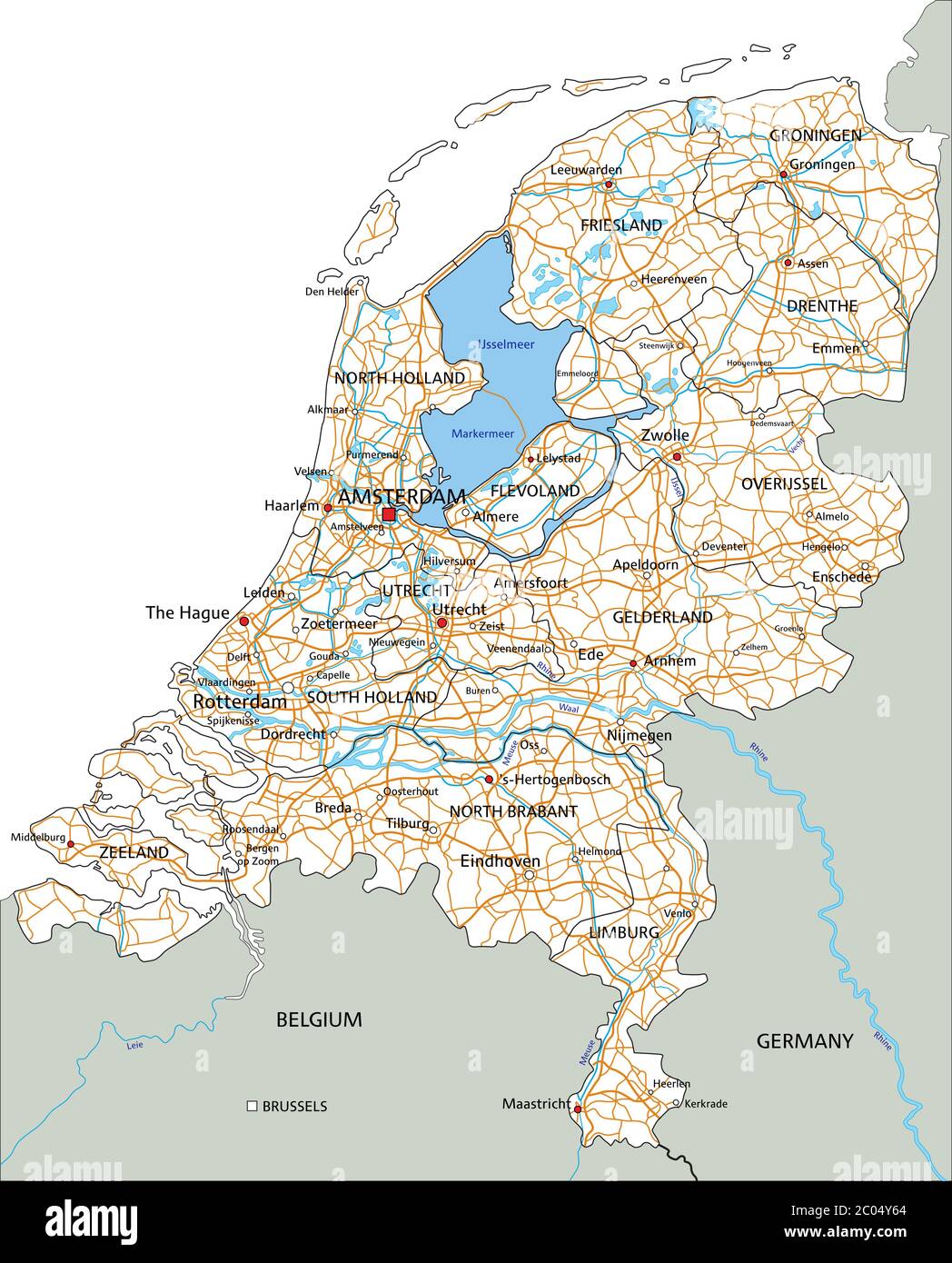 High detailed Netherlands road map with labeling. Stock Vectorhttps://www.alamy.com/image-license-details/?v=1https://www.alamy.com/high-detailed-netherlands-road-map-with-labeling-image361526876.html
RF2C04Y64–High detailed Netherlands road map with labeling.
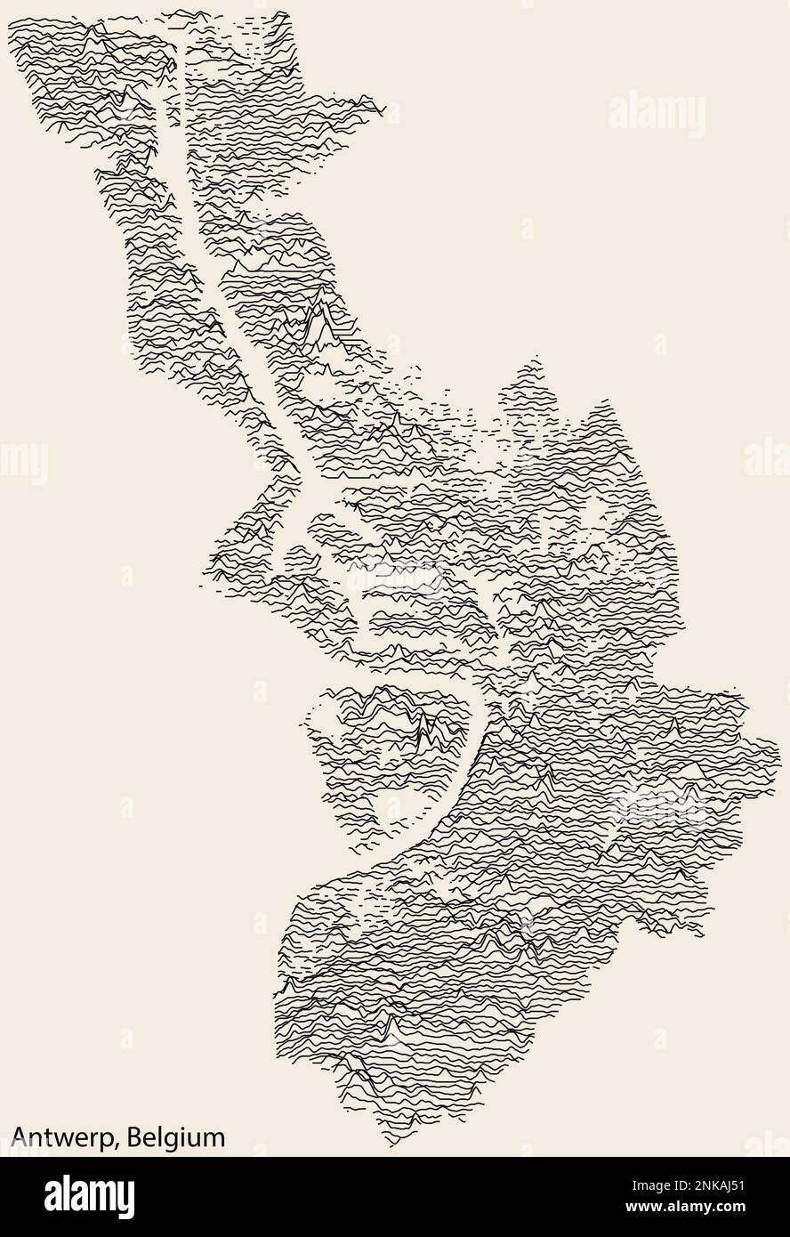 Topographic relief map of ANTWERP, BELGIUM Stock Vectorhttps://www.alamy.com/image-license-details/?v=1https://www.alamy.com/topographic-relief-map-of-antwerp-belgium-image528223277.html
RF2NKAJ51–Topographic relief map of ANTWERP, BELGIUM
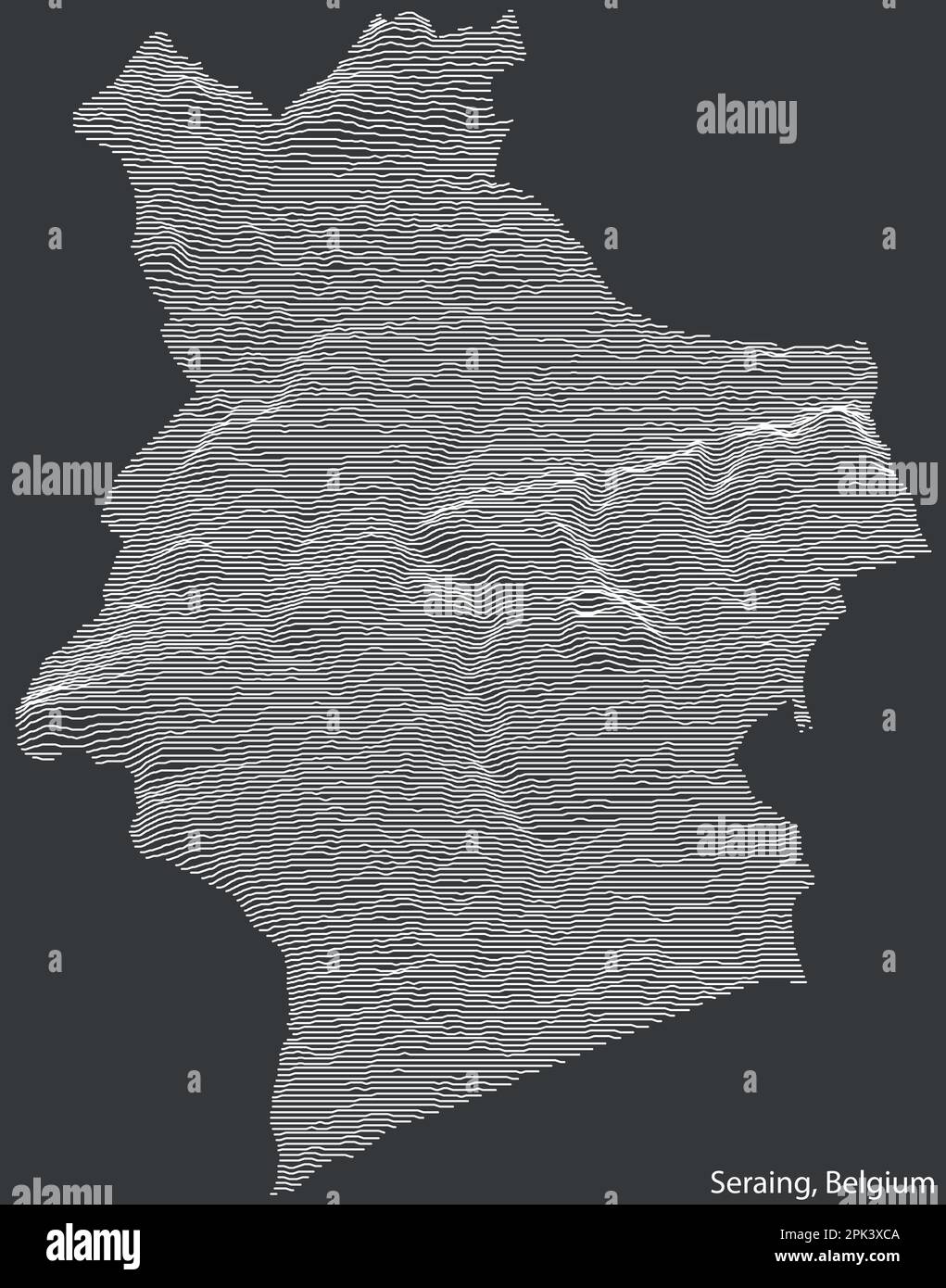 Topographic relief map of SERAING, BELGIUM Stock Vectorhttps://www.alamy.com/image-license-details/?v=1https://www.alamy.com/topographic-relief-map-of-seraing-belgium-image545286458.html
RF2PK3XCA–Topographic relief map of SERAING, BELGIUM
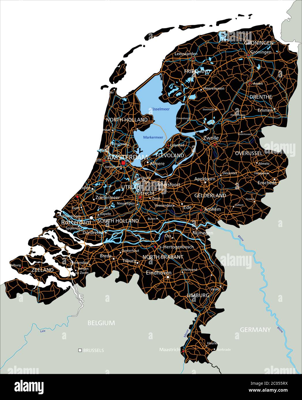 High detailed Netherlands road map with labeling. Stock Vectorhttps://www.alamy.com/image-license-details/?v=1https://www.alamy.com/high-detailed-netherlands-road-map-with-labeling-image361532078.html
RF2C055RX–High detailed Netherlands road map with labeling.
 Topographic relief map of GENK, BELGIUM Stock Vectorhttps://www.alamy.com/image-license-details/?v=1https://www.alamy.com/topographic-relief-map-of-genk-belgium-image545286200.html
RF2PK3X34–Topographic relief map of GENK, BELGIUM
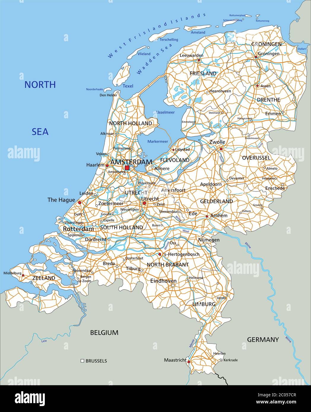 High detailed Netherlands road map with labeling. Stock Vectorhttps://www.alamy.com/image-license-details/?v=1https://www.alamy.com/high-detailed-netherlands-road-map-with-labeling-image361533335.html
RF2C057CR–High detailed Netherlands road map with labeling.
 Topographic relief map of GENK, BELGIUM Stock Vectorhttps://www.alamy.com/image-license-details/?v=1https://www.alamy.com/topographic-relief-map-of-genk-belgium-image545286150.html
RF2PK3X1A–Topographic relief map of GENK, BELGIUM
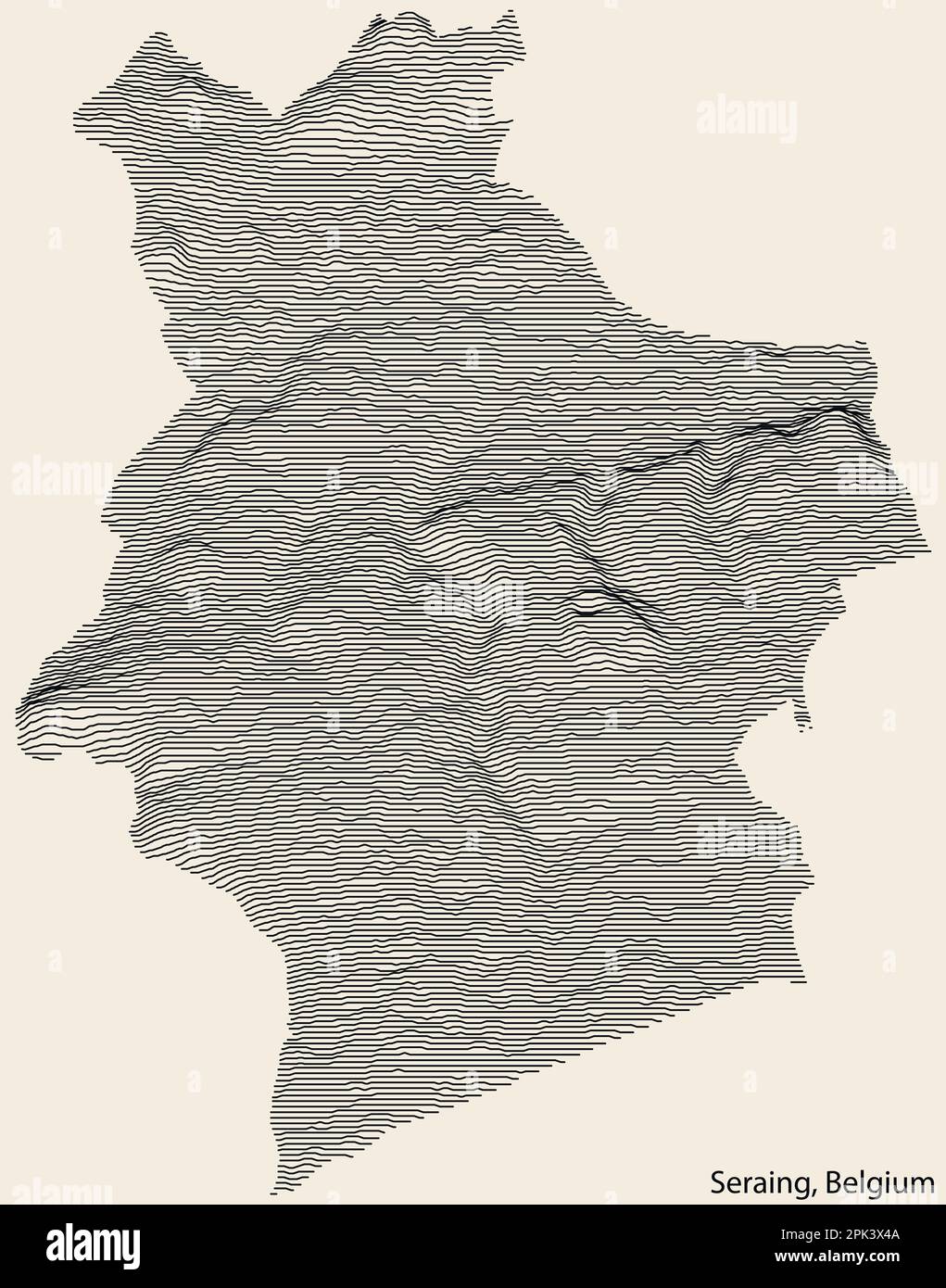 Topographic relief map of SERAING, BELGIUM Stock Vectorhttps://www.alamy.com/image-license-details/?v=1https://www.alamy.com/topographic-relief-map-of-seraing-belgium-image545286234.html
RF2PK3X4A–Topographic relief map of SERAING, BELGIUM
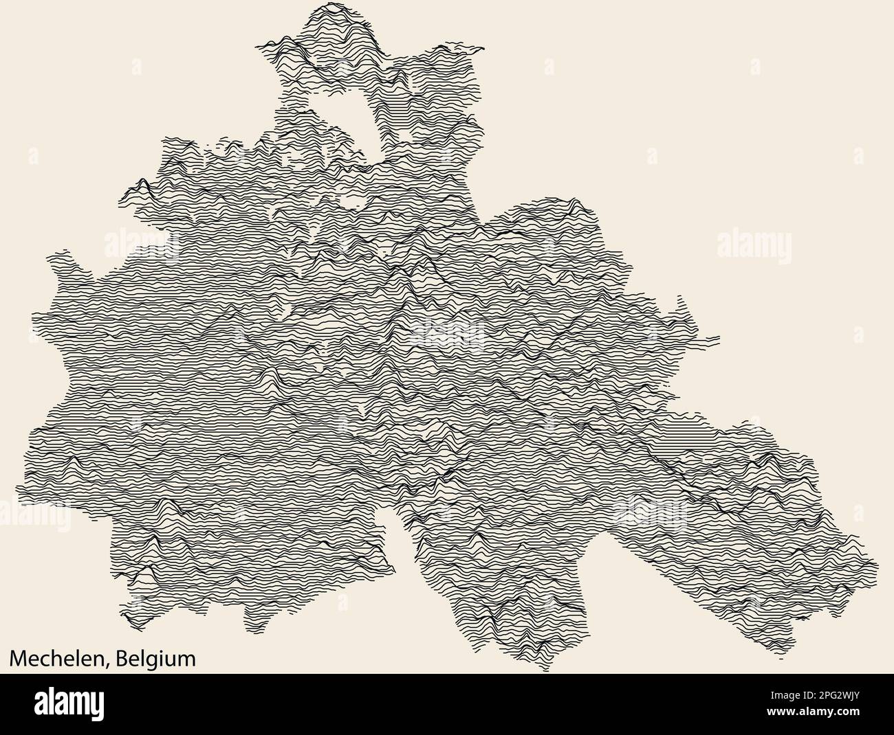 Topographic relief map of MECHELEN, BELGIUM Stock Vectorhttps://www.alamy.com/image-license-details/?v=1https://www.alamy.com/topographic-relief-map-of-mechelen-belgium-image543419939.html
RF2PG2WJY–Topographic relief map of MECHELEN, BELGIUM
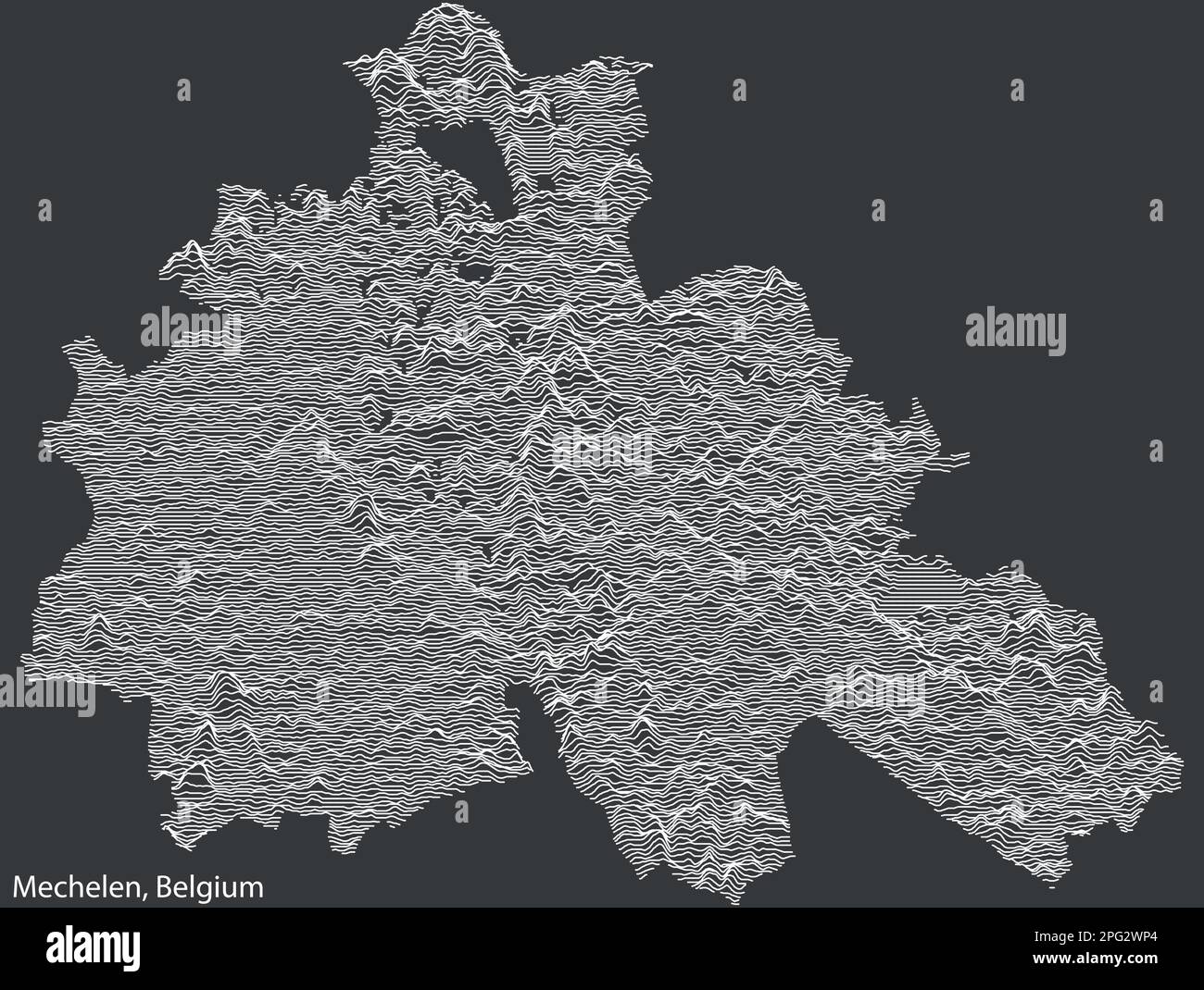 Topographic relief map of MECHELEN, BELGIUM Stock Vectorhttps://www.alamy.com/image-license-details/?v=1https://www.alamy.com/topographic-relief-map-of-mechelen-belgium-image543420028.html
RF2PG2WP4–Topographic relief map of MECHELEN, BELGIUM
 Topographic relief map of BRUSSELS, BELGIUM Stock Vectorhttps://www.alamy.com/image-license-details/?v=1https://www.alamy.com/topographic-relief-map-of-brussels-belgium-image526920317.html
RF2NH786N–Topographic relief map of BRUSSELS, BELGIUM
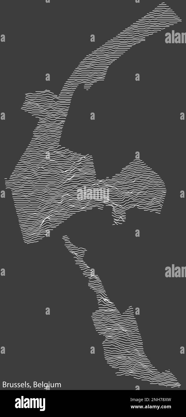 Topographic relief map of BRUSSELS, BELGIUM Stock Vectorhttps://www.alamy.com/image-license-details/?v=1https://www.alamy.com/topographic-relief-map-of-brussels-belgium-image526920881.html
RF2NH78XW–Topographic relief map of BRUSSELS, BELGIUM
 Topographic relief map of VERVIERS, BELGIUM Stock Vectorhttps://www.alamy.com/image-license-details/?v=1https://www.alamy.com/topographic-relief-map-of-verviers-belgium-image593066998.html
RF2WCTF06–Topographic relief map of VERVIERS, BELGIUM
 Topographic relief map of MOUSCRON, BELGIUM Stock Vectorhttps://www.alamy.com/image-license-details/?v=1https://www.alamy.com/topographic-relief-map-of-mouscron-belgium-image593083604.html
RF2WCW858–Topographic relief map of MOUSCRON, BELGIUM
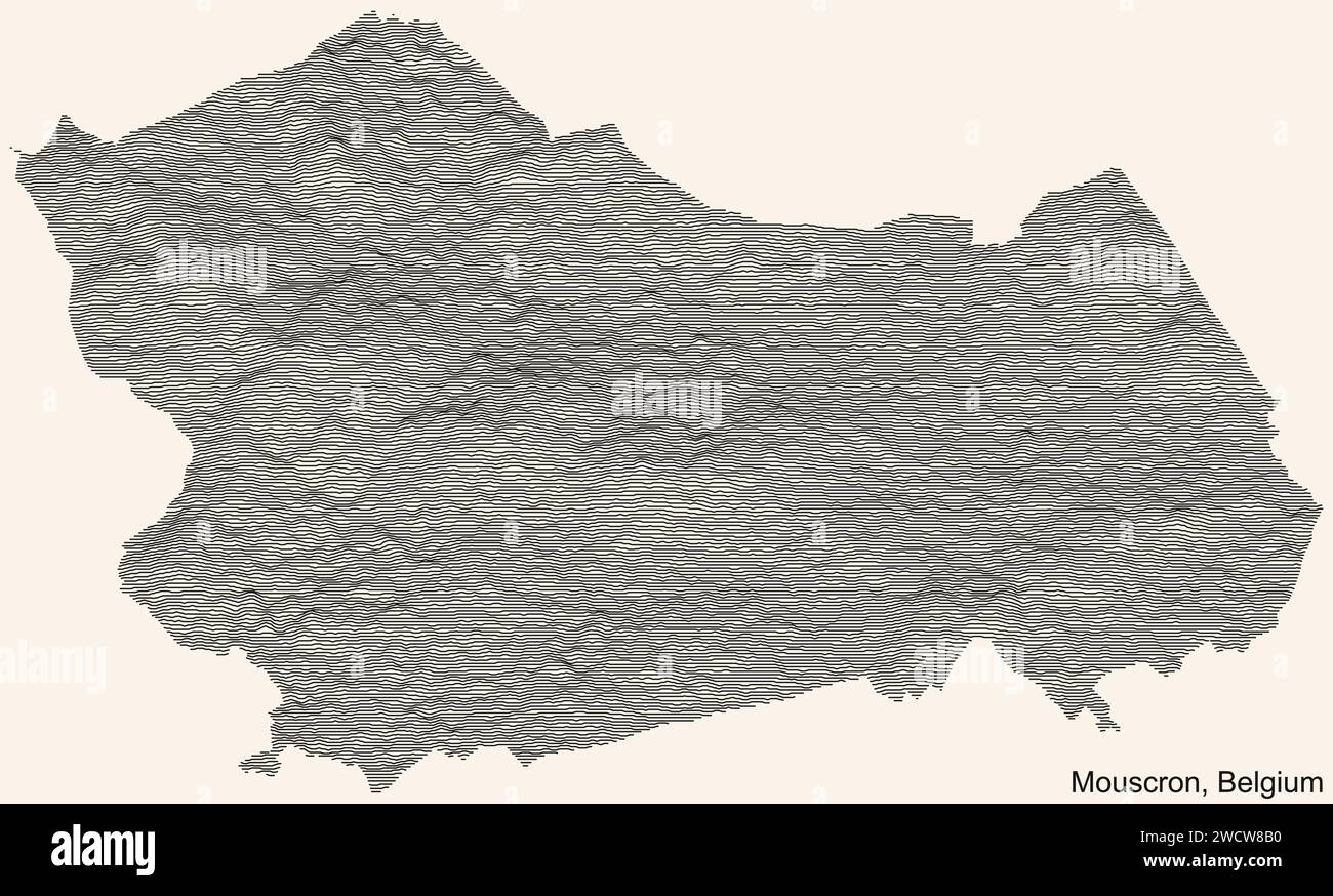 Topographic relief map of MOUSCRON, BELGIUM Stock Vectorhttps://www.alamy.com/image-license-details/?v=1https://www.alamy.com/topographic-relief-map-of-mouscron-belgium-image593083764.html
RF2WCW8B0–Topographic relief map of MOUSCRON, BELGIUM
 Topographic relief map of VERVIERS, BELGIUM Stock Vectorhttps://www.alamy.com/image-license-details/?v=1https://www.alamy.com/topographic-relief-map-of-verviers-belgium-image593067112.html
RF2WCTF48–Topographic relief map of VERVIERS, BELGIUM
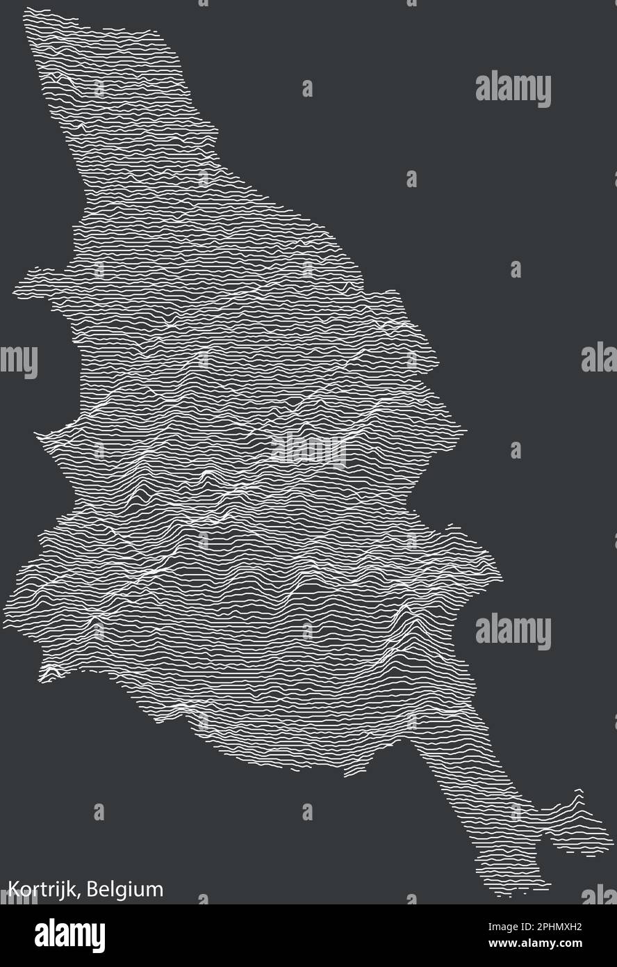 Topographic relief map of KORTRIJK, BELGIUM Stock Vectorhttps://www.alamy.com/image-license-details/?v=1https://www.alamy.com/topographic-relief-map-of-kortrijk-belgium-image544430462.html
RF2PHMXH2–Topographic relief map of KORTRIJK, BELGIUM
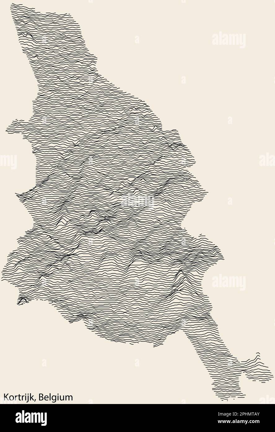 Topographic relief map of KORTRIJK, BELGIUM Stock Vectorhttps://www.alamy.com/image-license-details/?v=1https://www.alamy.com/topographic-relief-map-of-kortrijk-belgium-image544428723.html
RF2PHMTAY–Topographic relief map of KORTRIJK, BELGIUM
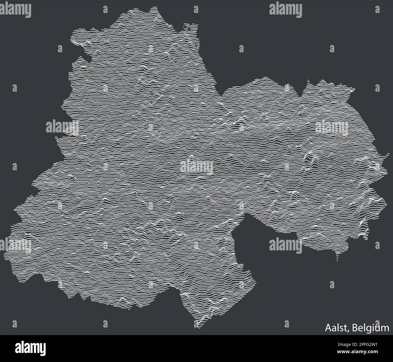 Topographic relief map of AALST, BELGIUM Stock Vectorhttps://www.alamy.com/image-license-details/?v=1https://www.alamy.com/topographic-relief-map-of-aalst-belgium-image543094749.html
RF2PFG2W1–Topographic relief map of AALST, BELGIUM
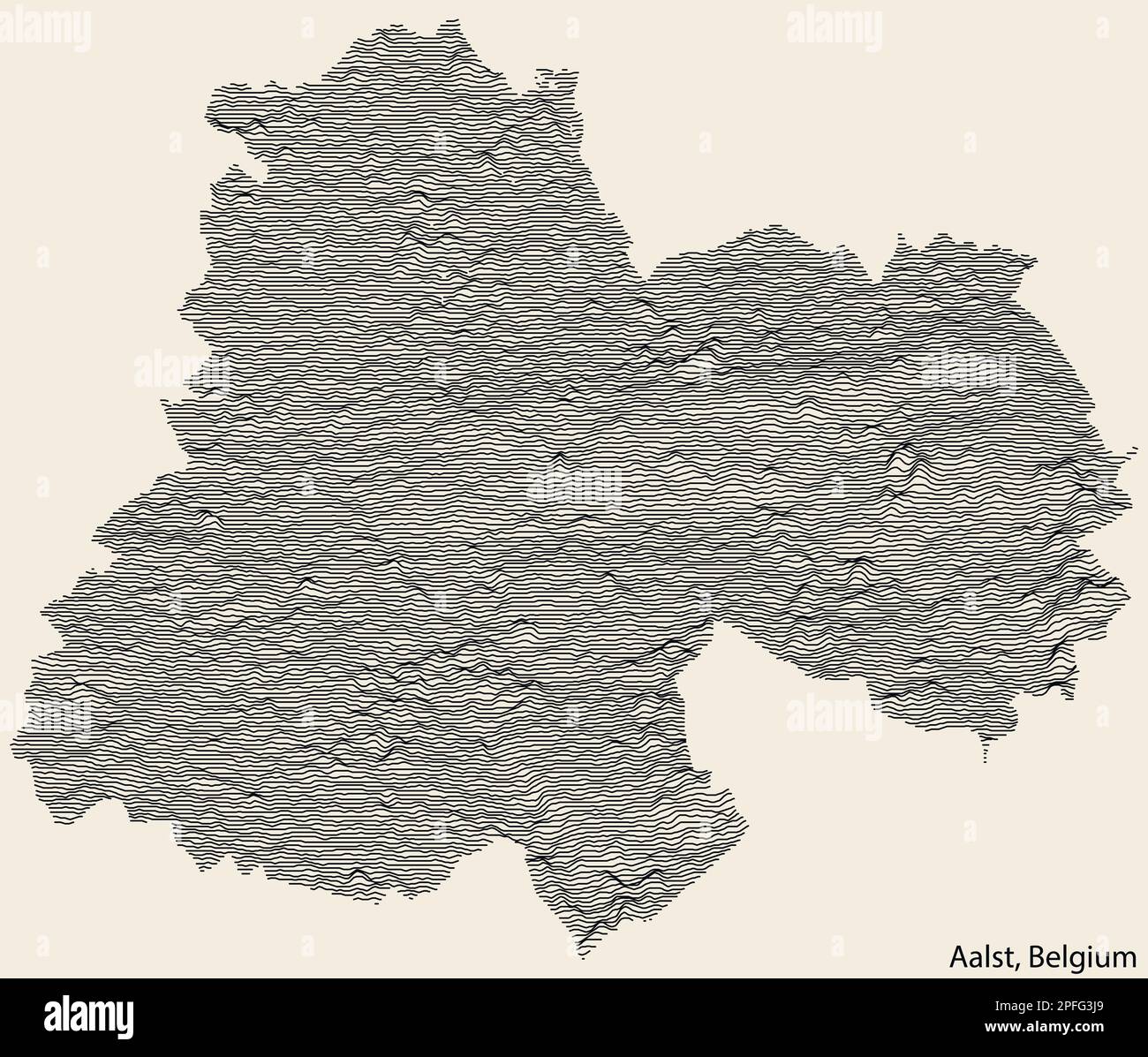 Topographic relief map of AALST, BELGIUM Stock Vectorhttps://www.alamy.com/image-license-details/?v=1https://www.alamy.com/topographic-relief-map-of-aalst-belgium-image543095345.html
RF2PFG3J9–Topographic relief map of AALST, BELGIUM
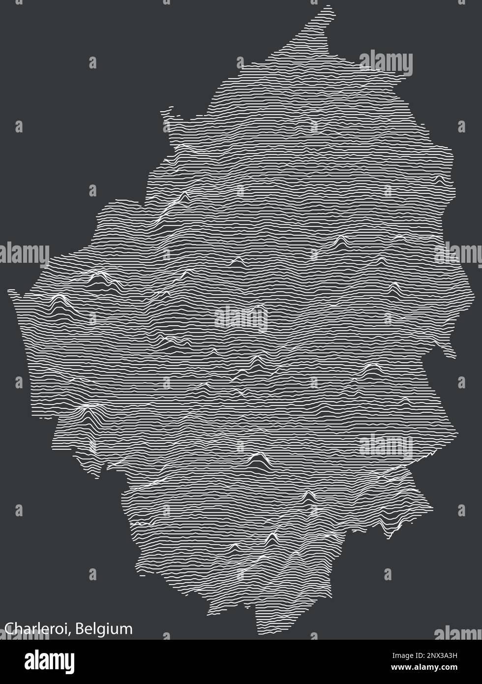 Topographic relief map of CHARLEROI, BELGIUM Stock Vectorhttps://www.alamy.com/image-license-details/?v=1https://www.alamy.com/topographic-relief-map-of-charleroi-belgium-image532365893.html
RF2NX3A3H–Topographic relief map of CHARLEROI, BELGIUM
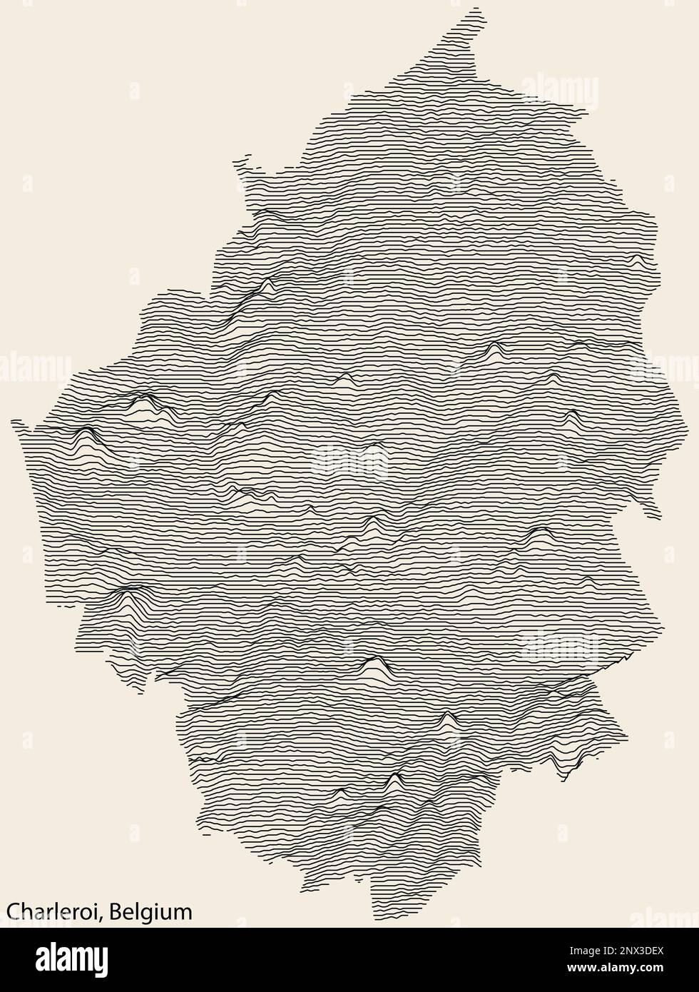 Topographic relief map of CHARLEROI, BELGIUM Stock Vectorhttps://www.alamy.com/image-license-details/?v=1https://www.alamy.com/topographic-relief-map-of-charleroi-belgium-image532368562.html
RF2NX3DEX–Topographic relief map of CHARLEROI, BELGIUM
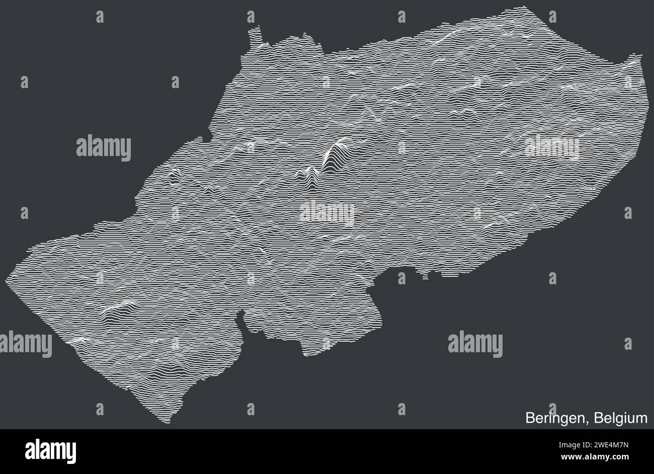 Topographic relief map of BERINGEN, BELGIUM Stock Vectorhttps://www.alamy.com/image-license-details/?v=1https://www.alamy.com/topographic-relief-map-of-beringen-belgium-image593861401.html
RF2WE4M7N–Topographic relief map of BERINGEN, BELGIUM
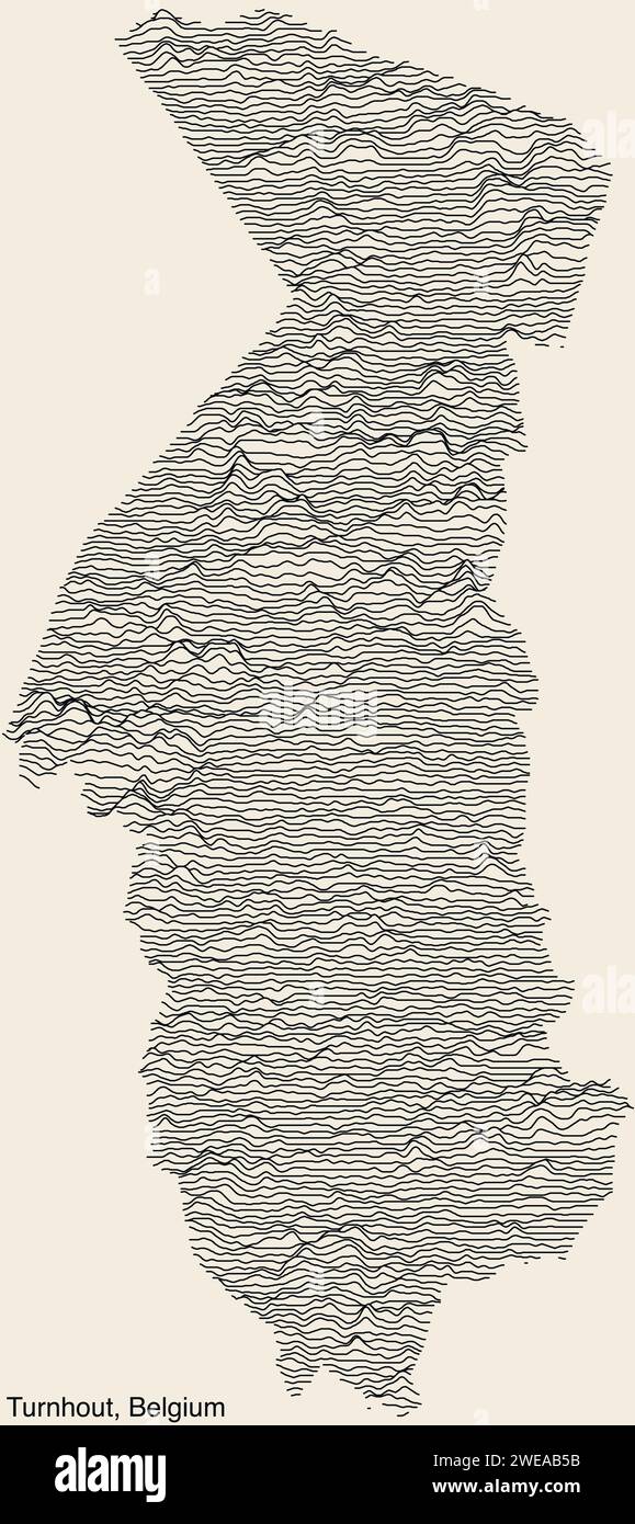 Topographic relief map of TURNHOUT, BELGIUM Stock Vectorhttps://www.alamy.com/image-license-details/?v=1https://www.alamy.com/topographic-relief-map-of-turnhout-belgium-image593985991.html
RF2WEAB5B–Topographic relief map of TURNHOUT, BELGIUM
 Topographic relief map of BERINGEN, BELGIUM Stock Vectorhttps://www.alamy.com/image-license-details/?v=1https://www.alamy.com/topographic-relief-map-of-beringen-belgium-image593861396.html
RF2WE4M7G–Topographic relief map of BERINGEN, BELGIUM
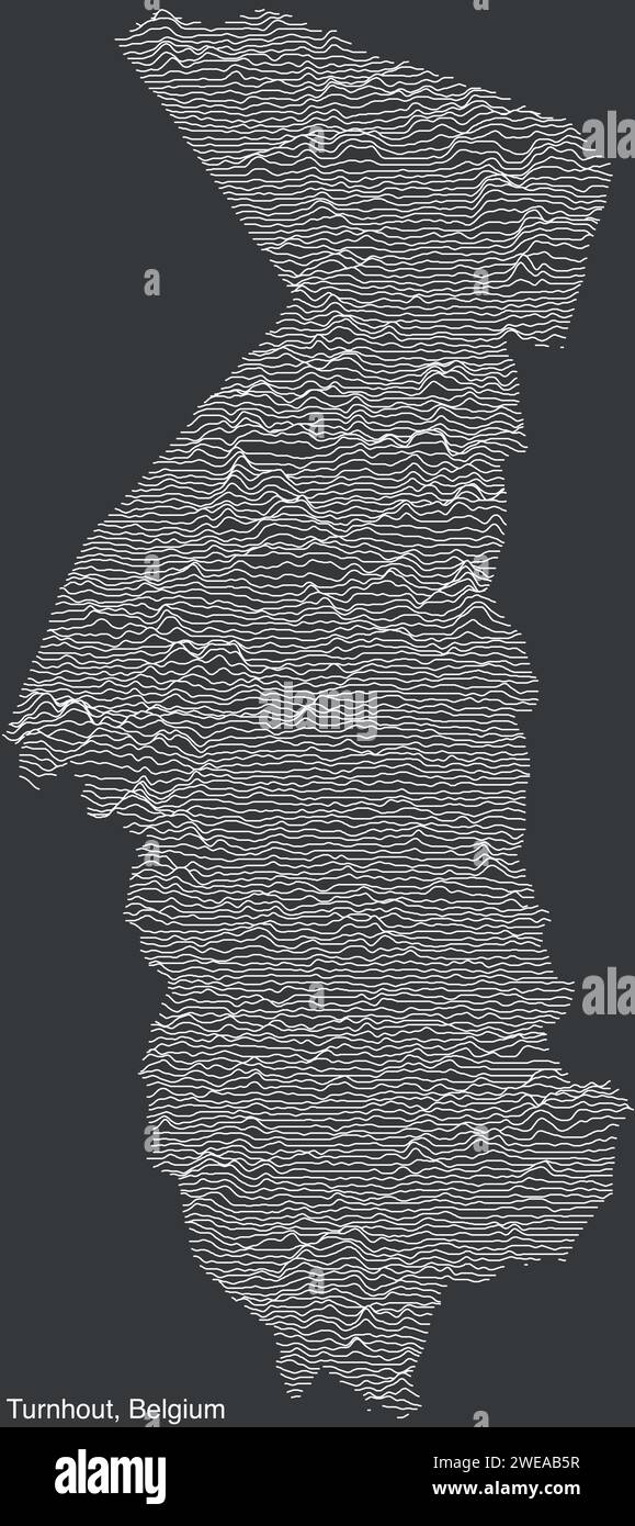 Topographic relief map of TURNHOUT, BELGIUM Stock Vectorhttps://www.alamy.com/image-license-details/?v=1https://www.alamy.com/topographic-relief-map-of-turnhout-belgium-image593986003.html
RF2WEAB5R–Topographic relief map of TURNHOUT, BELGIUM
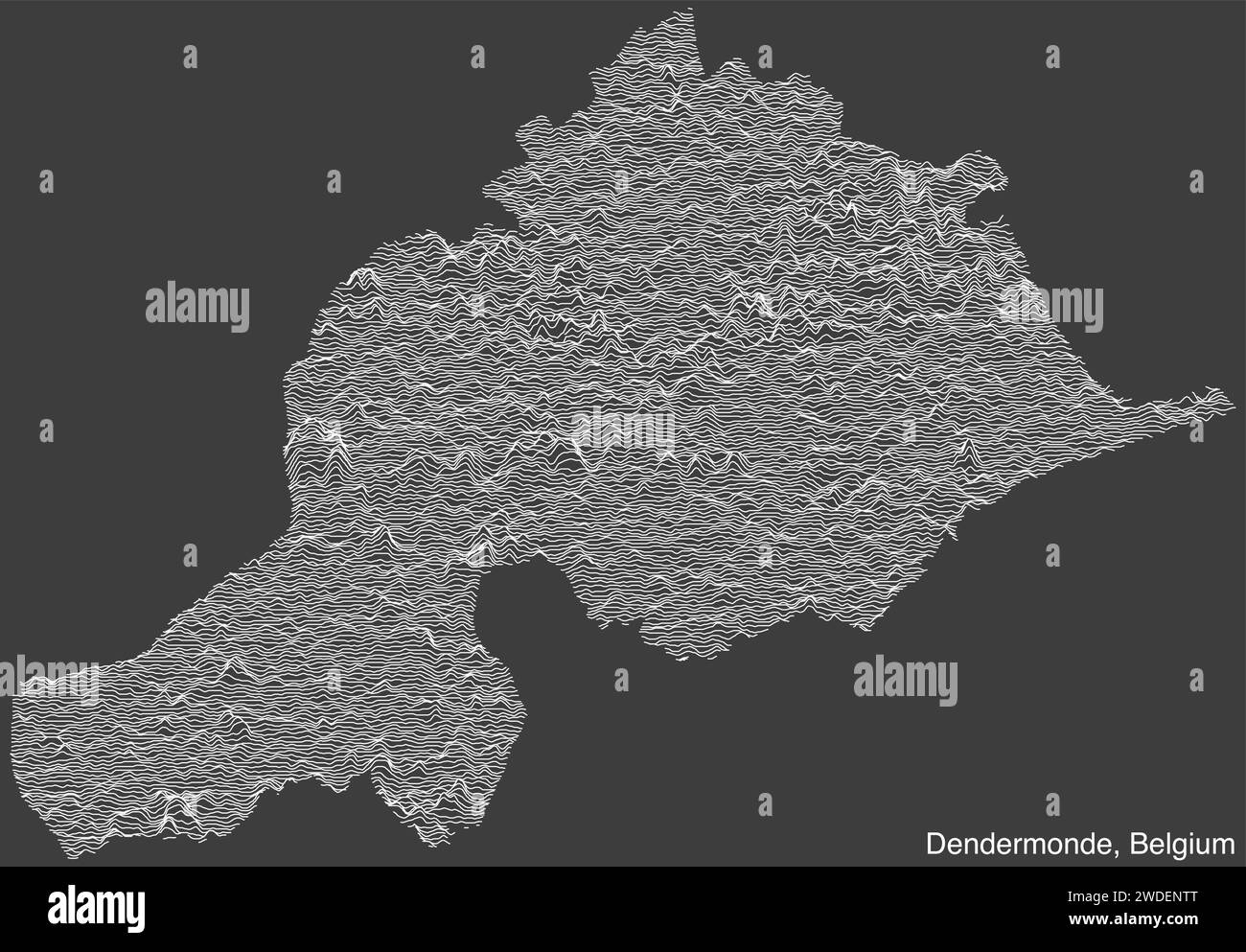 Topographic relief map of DENDERMONDE, BELGIUM Stock Vectorhttps://www.alamy.com/image-license-details/?v=1https://www.alamy.com/topographic-relief-map-of-dendermonde-belgium-image593467528.html
RF2WDENTT–Topographic relief map of DENDERMONDE, BELGIUM
 Topographic relief map of DENDERMONDE, BELGIUM Stock Vectorhttps://www.alamy.com/image-license-details/?v=1https://www.alamy.com/topographic-relief-map-of-dendermonde-belgium-image593471711.html
RF2WDEY67–Topographic relief map of DENDERMONDE, BELGIUM
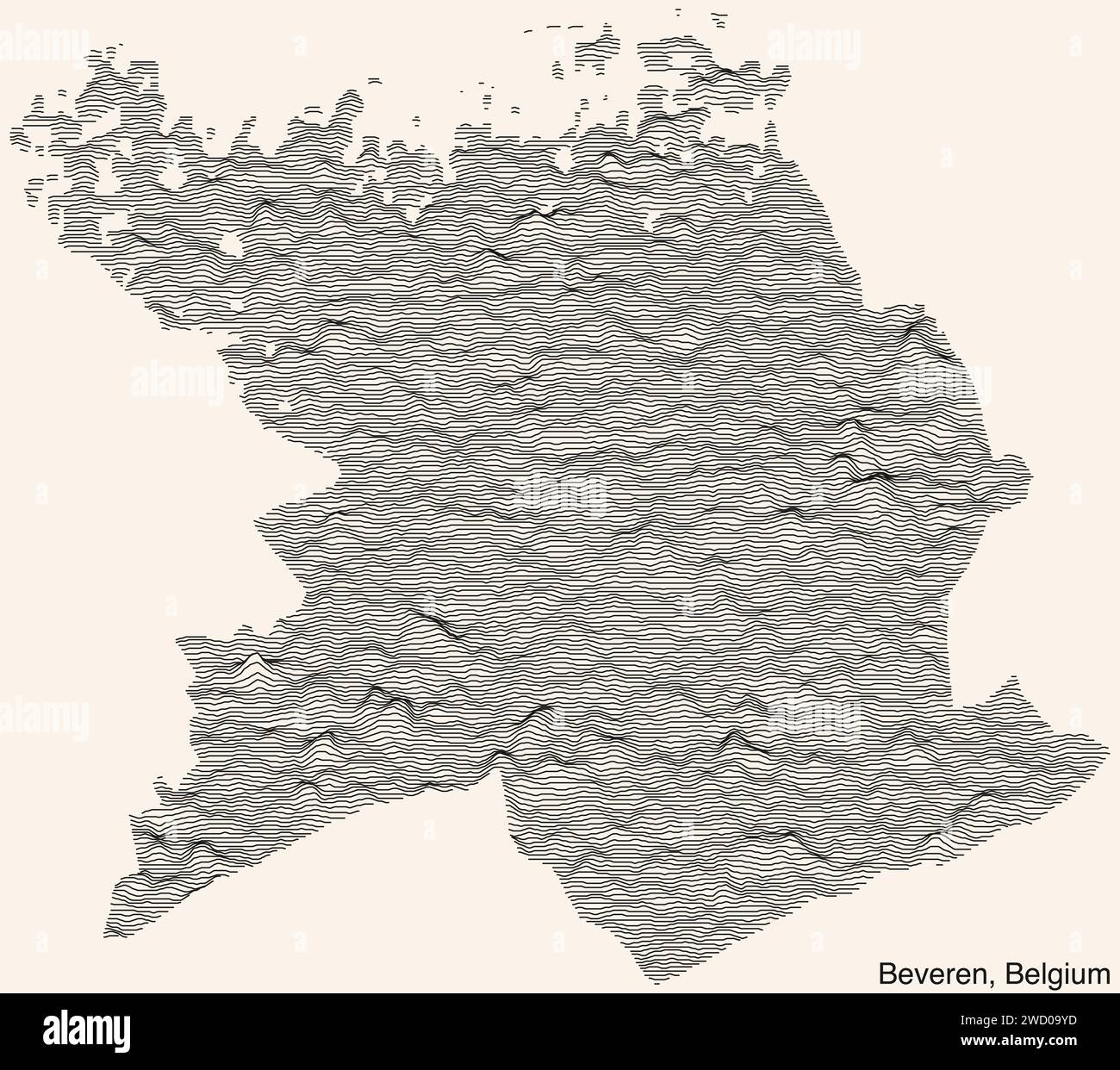 Topographic relief map of BEVEREN, BELGIUM Stock Vectorhttps://www.alamy.com/image-license-details/?v=1https://www.alamy.com/topographic-relief-map-of-beveren-belgium-image593150865.html
RF2WD09YD–Topographic relief map of BEVEREN, BELGIUM
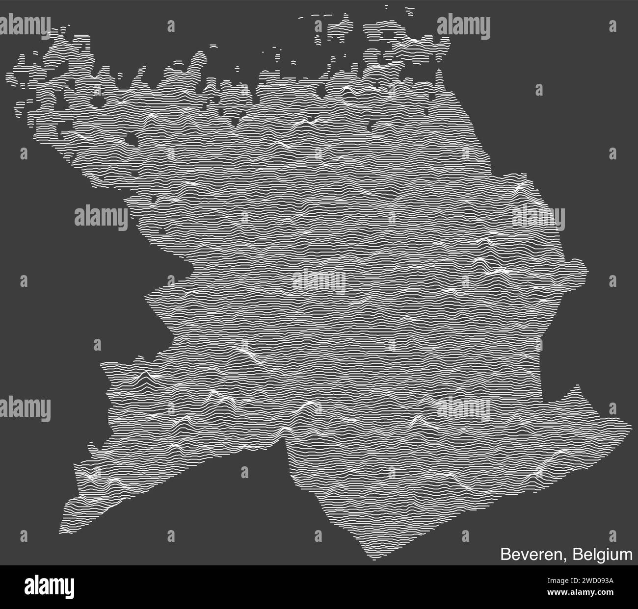 Topographic relief map of BEVEREN, BELGIUM Stock Vectorhttps://www.alamy.com/image-license-details/?v=1https://www.alamy.com/topographic-relief-map-of-beveren-belgium-image593150190.html
RF2WD093A–Topographic relief map of BEVEREN, BELGIUM
 Topographic relief map of DILBEEK, BELGIUM Stock Vectorhttps://www.alamy.com/image-license-details/?v=1https://www.alamy.com/topographic-relief-map-of-dilbeek-belgium-image594117847.html
RF2WEGBAF–Topographic relief map of DILBEEK, BELGIUM
 Topographic relief map of DILBEEK, BELGIUM Stock Vectorhttps://www.alamy.com/image-license-details/?v=1https://www.alamy.com/topographic-relief-map-of-dilbeek-belgium-image594117850.html
RF2WEGBAJ–Topographic relief map of DILBEEK, BELGIUM
 Topographic relief map of ROULERS, BELGIUM Stock Vectorhttps://www.alamy.com/image-license-details/?v=1https://www.alamy.com/topographic-relief-map-of-roulers-belgium-image545296893.html
RF2PK4BN1–Topographic relief map of ROULERS, BELGIUM
 Topographic relief map of ROULERS, BELGIUM Stock Vectorhttps://www.alamy.com/image-license-details/?v=1https://www.alamy.com/topographic-relief-map-of-roulers-belgium-image545296846.html
RF2PK4BKA–Topographic relief map of ROULERS, BELGIUM
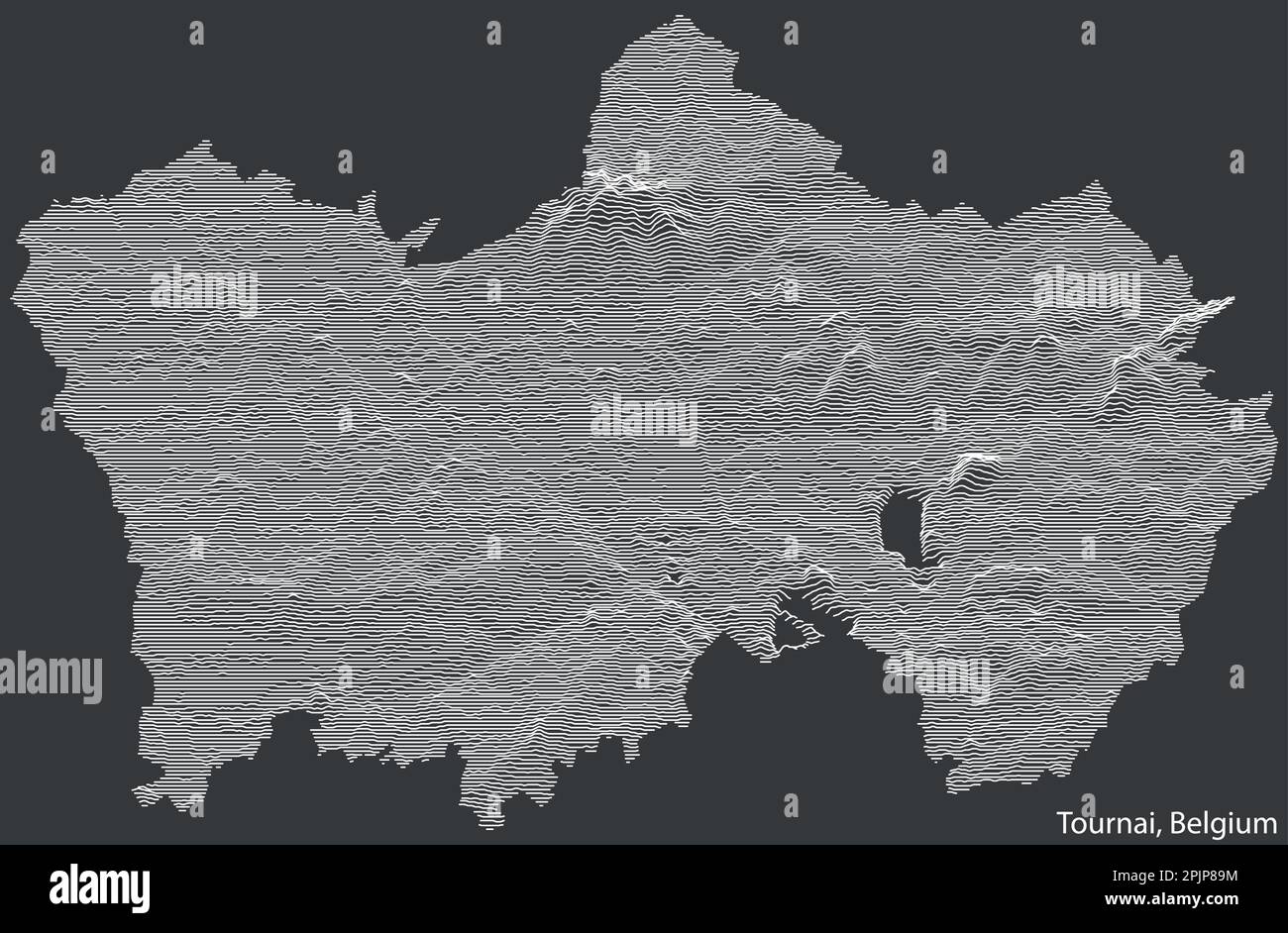 Topographic relief map of TOURNAI, BELGIUM Stock Vectorhttps://www.alamy.com/image-license-details/?v=1https://www.alamy.com/topographic-relief-map-of-tournai-belgium-image545074704.html
RF2PJP89M–Topographic relief map of TOURNAI, BELGIUM
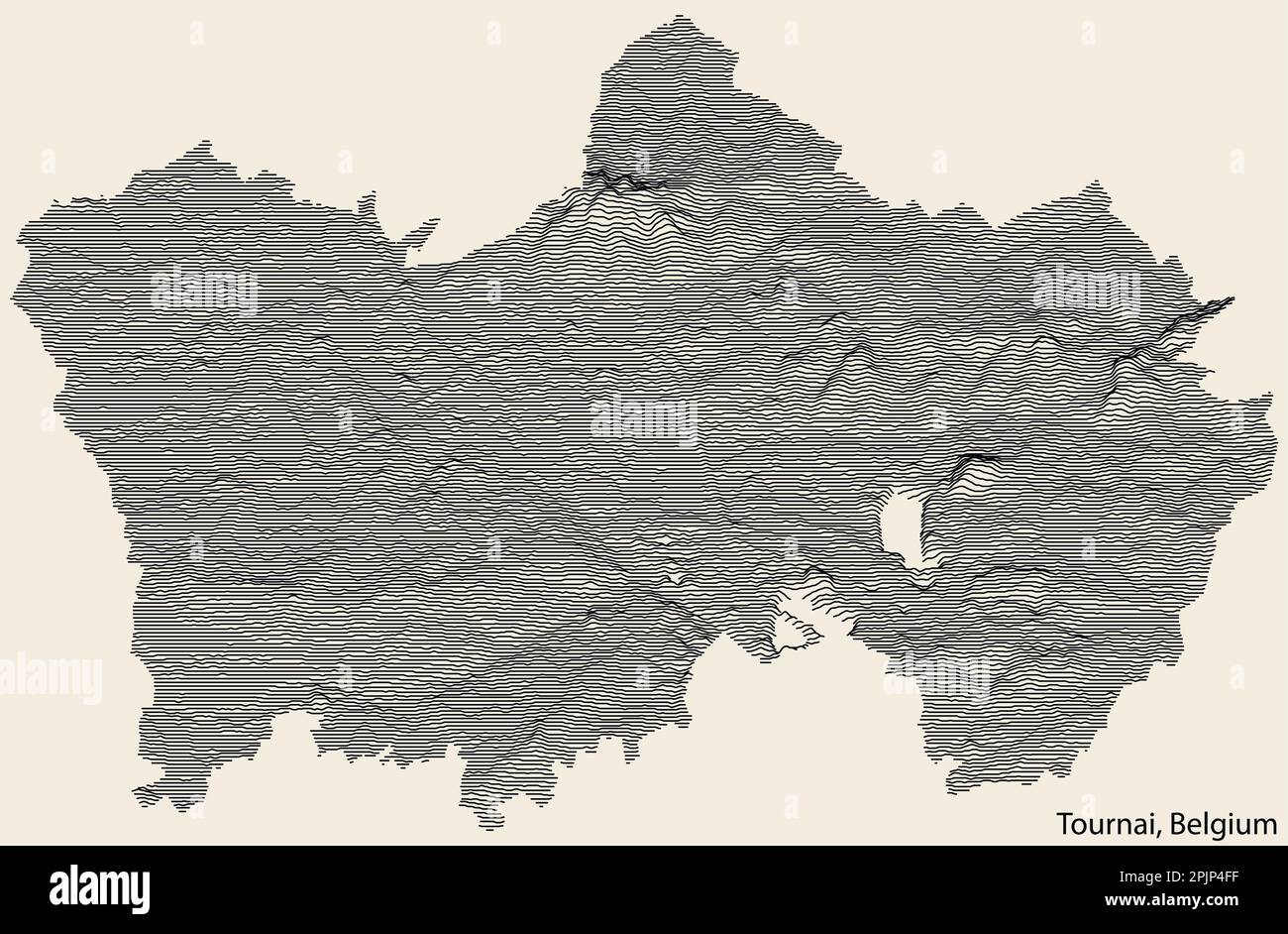 Topographic relief map of TOURNAI, BELGIUM Stock Vectorhttps://www.alamy.com/image-license-details/?v=1https://www.alamy.com/topographic-relief-map-of-tournai-belgium-image545071731.html
RF2PJP4FF–Topographic relief map of TOURNAI, BELGIUM
 Topographic relief map of LIÈGE, BELGIUM Stock Vectorhttps://www.alamy.com/image-license-details/?v=1https://www.alamy.com/topographic-relief-map-of-lige-belgium-image544690116.html
RF2PJ4NPC–Topographic relief map of LIÈGE, BELGIUM
 Topographic relief map of OSTEND, BELGIUM Stock Vectorhttps://www.alamy.com/image-license-details/?v=1https://www.alamy.com/topographic-relief-map-of-ostend-belgium-image544689597.html
RF2PJ4N3W–Topographic relief map of OSTEND, BELGIUM
 Topographic relief map of LIÈGE, BELGIUM Stock Vectorhttps://www.alamy.com/image-license-details/?v=1https://www.alamy.com/topographic-relief-map-of-lige-belgium-image544689480.html
RF2PJ4MYM–Topographic relief map of LIÈGE, BELGIUM
 Topographic relief map of OSTEND, BELGIUM Stock Vectorhttps://www.alamy.com/image-license-details/?v=1https://www.alamy.com/topographic-relief-map-of-ostend-belgium-image544689590.html
RF2PJ4N3J–Topographic relief map of OSTEND, BELGIUM
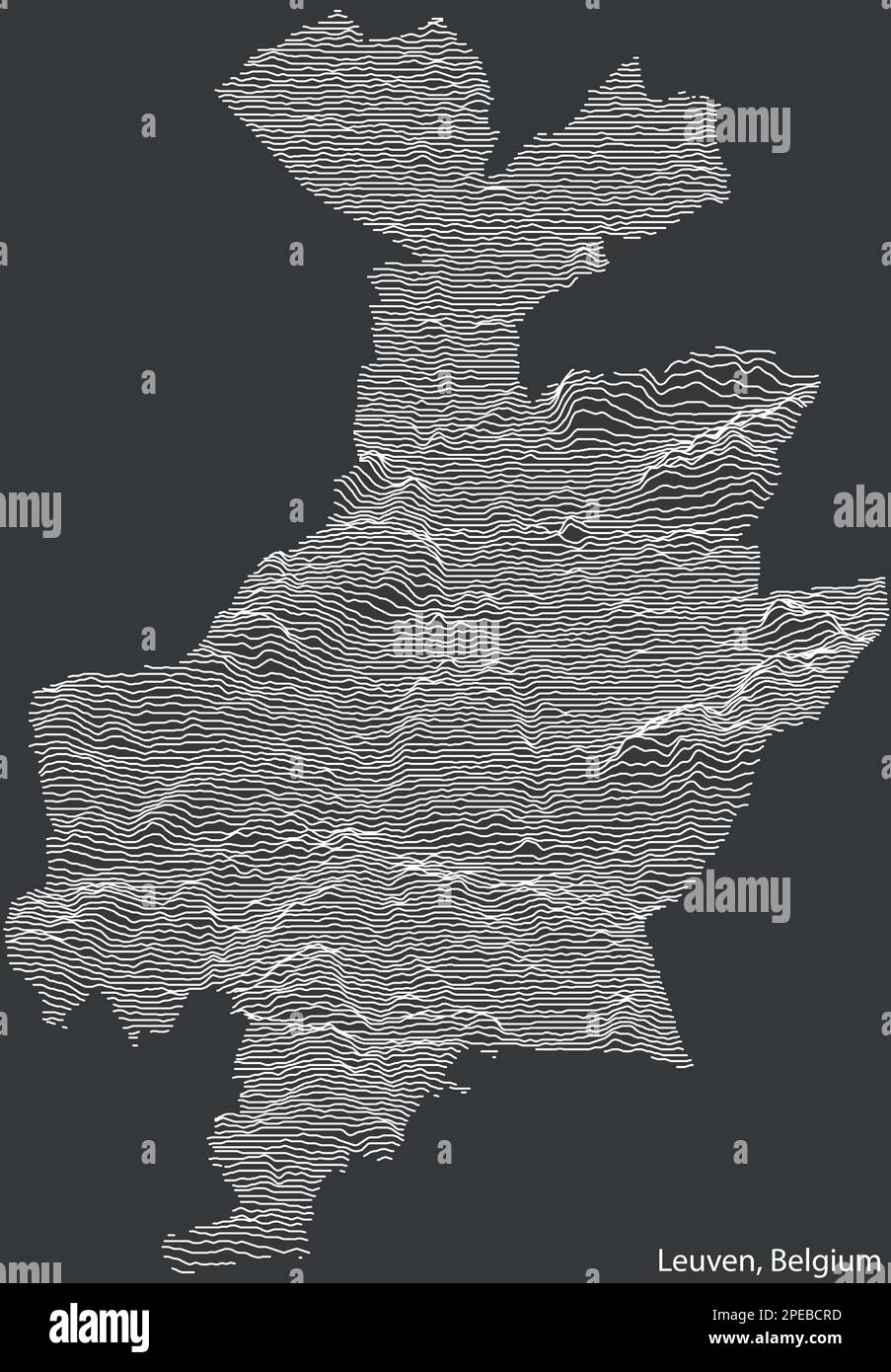 Topographic relief map of LEUVEN, BELGIUM Stock Vectorhttps://www.alamy.com/image-license-details/?v=1https://www.alamy.com/topographic-relief-map-of-leuven-belgium-image542378129.html
RF2PEBCRD–Topographic relief map of LEUVEN, BELGIUM
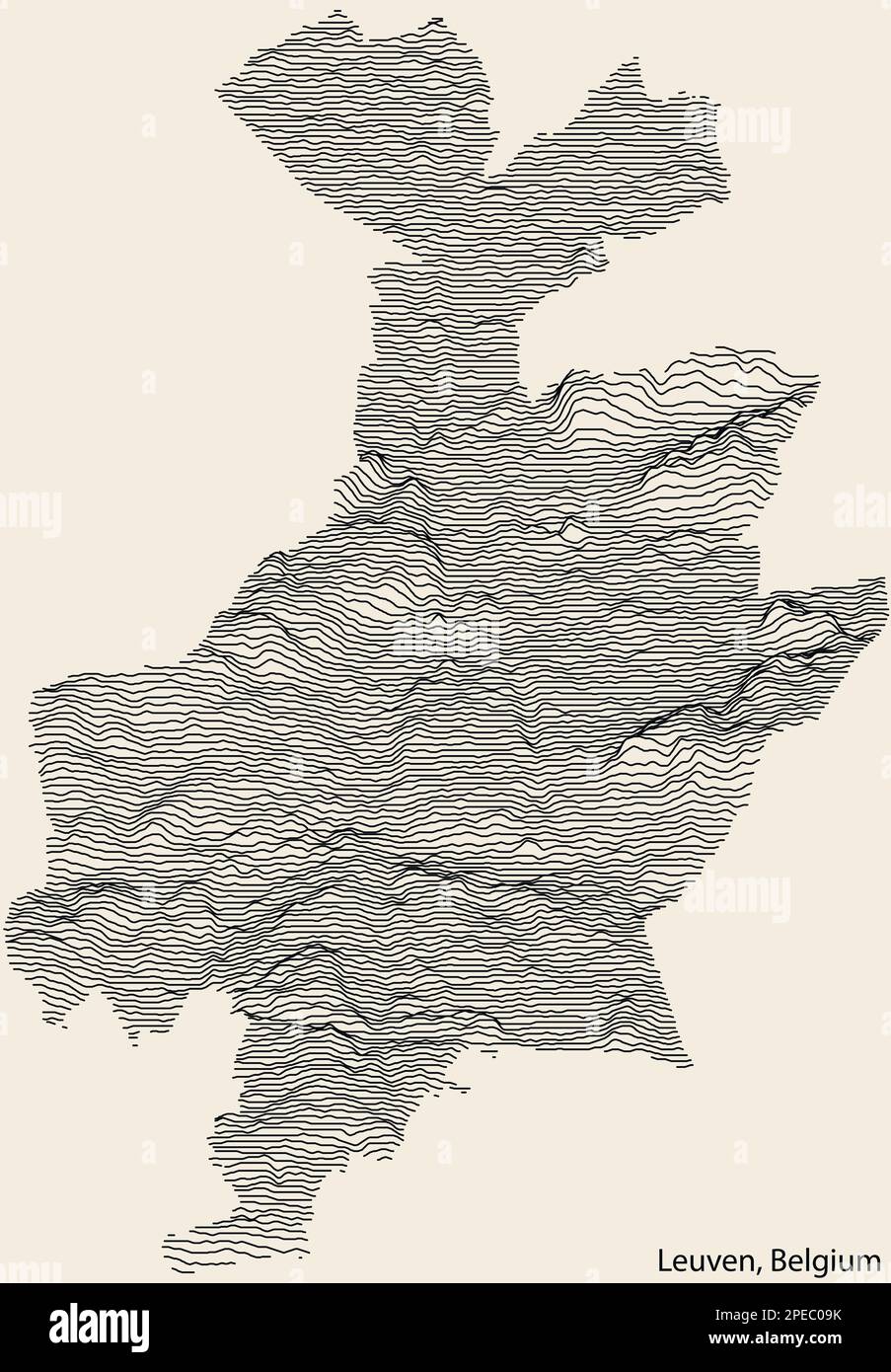 Topographic relief map of LEUVEN, BELGIUM Stock Vectorhttps://www.alamy.com/image-license-details/?v=1https://www.alamy.com/topographic-relief-map-of-leuven-belgium-image542390287.html
RF2PEC09K–Topographic relief map of LEUVEN, BELGIUM
 Topographic relief map of NAMUR, BELGIUM Stock Vectorhttps://www.alamy.com/image-license-details/?v=1https://www.alamy.com/topographic-relief-map-of-namur-belgium-image536676111.html
RF2P53KRY–Topographic relief map of NAMUR, BELGIUM
 Topographic relief map of NAMUR, BELGIUM Stock Vectorhttps://www.alamy.com/image-license-details/?v=1https://www.alamy.com/topographic-relief-map-of-namur-belgium-image536675095.html
RF2P53JFK–Topographic relief map of NAMUR, BELGIUM
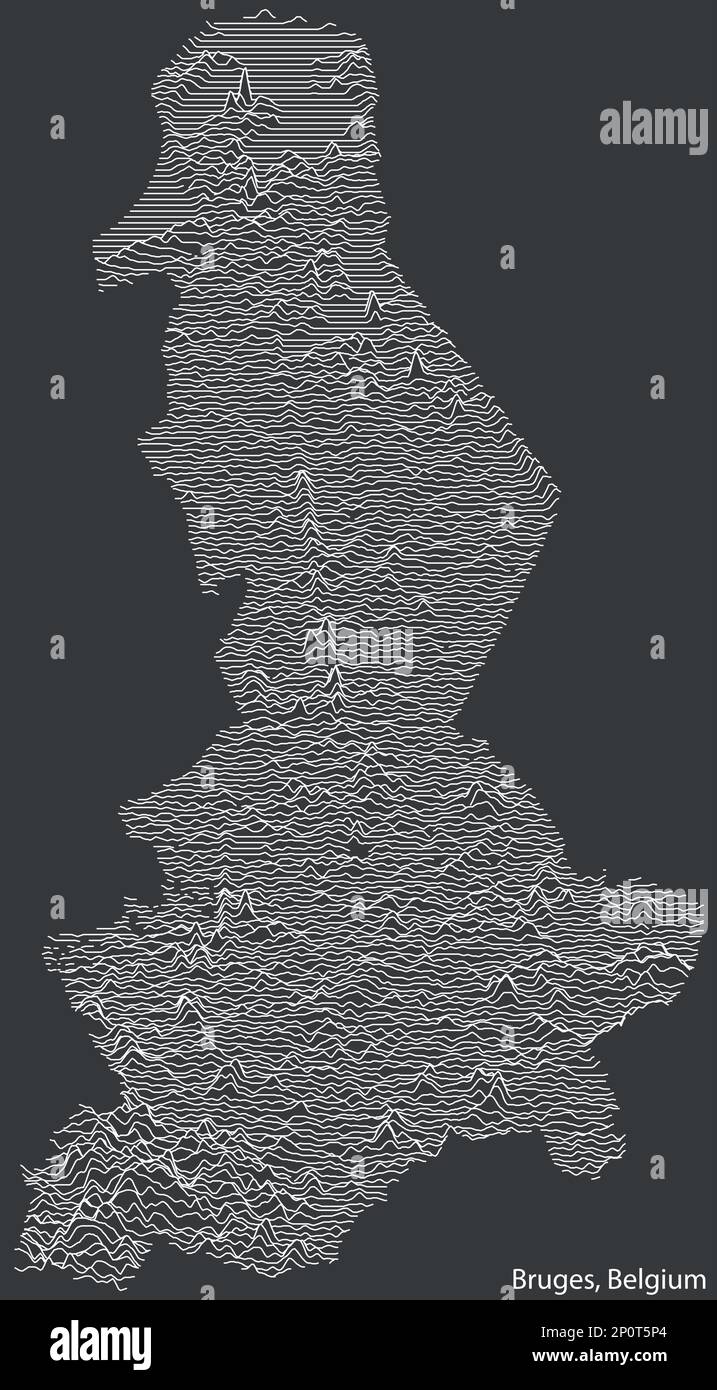 Topographic relief map of BRUGES, BELGIUM Stock Vectorhttps://www.alamy.com/image-license-details/?v=1https://www.alamy.com/topographic-relief-map-of-bruges-belgium-image534052796.html
RF2P0T5P4–Topographic relief map of BRUGES, BELGIUM
 Topographic relief map of BRUGES, BELGIUM Stock Vectorhttps://www.alamy.com/image-license-details/?v=1https://www.alamy.com/topographic-relief-map-of-bruges-belgium-image534054164.html
RF2P0T7F0–Topographic relief map of BRUGES, BELGIUM

