Route 261 utah Stock Photos and Images
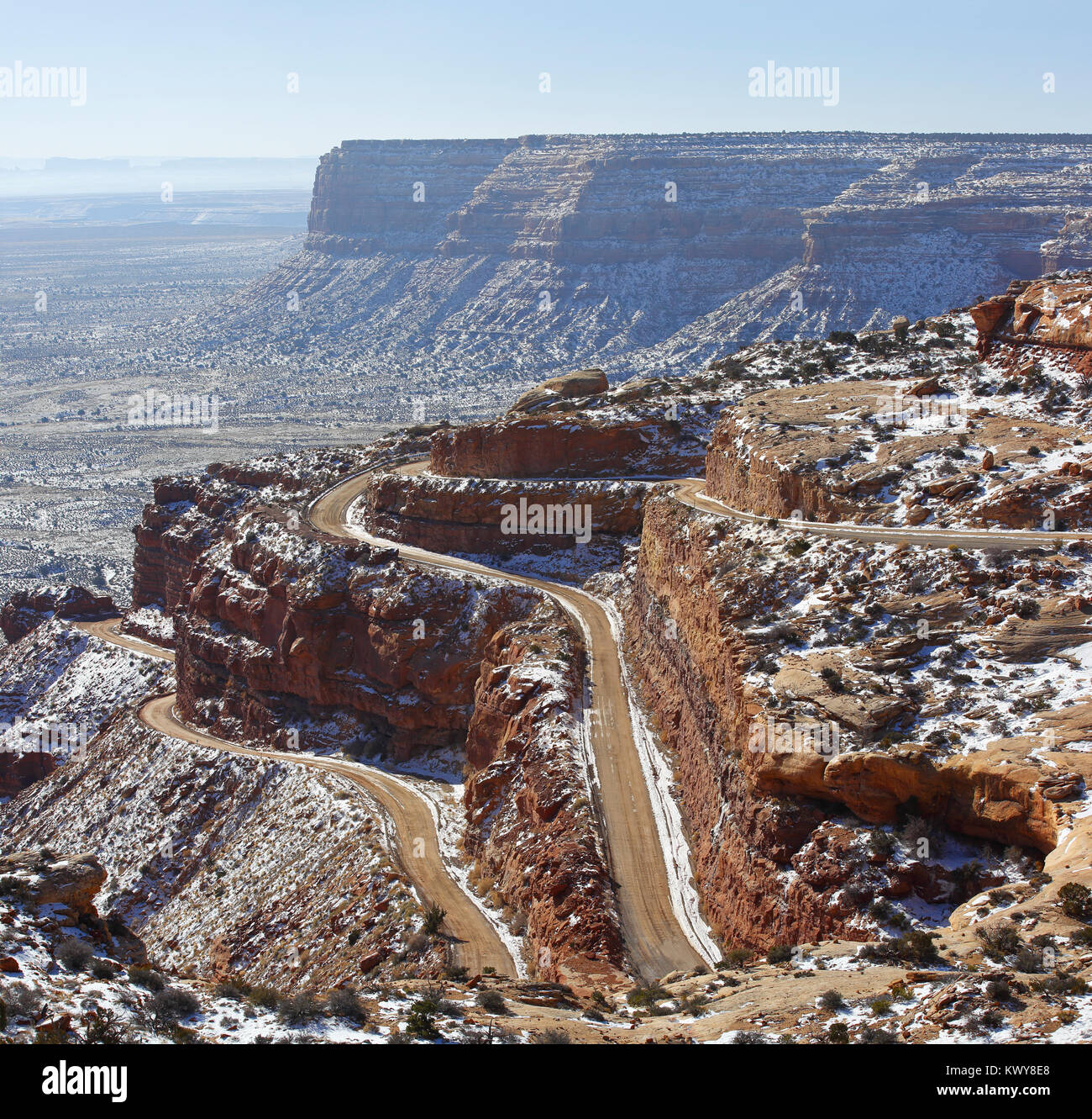 State Route 261 Utah - Moki Dugway. Panoramic view of serpentine road. Stock Photohttps://www.alamy.com/image-license-details/?v=1https://www.alamy.com/stock-photo-state-route-261-utah-moki-dugway-panoramic-view-of-serpentine-road-170859088.html
RFKWY8E8–State Route 261 Utah - Moki Dugway. Panoramic view of serpentine road.
 Moki Dugway overcomes the edge of the Cedar Mesa, view of the Valley of the Gods, Bears Ears National Monument, Utah State Route 261, Utah, USA Stock Photohttps://www.alamy.com/image-license-details/?v=1https://www.alamy.com/moki-dugway-overcomes-the-edge-of-the-cedar-mesa-view-of-the-valley-of-the-gods-bears-ears-national-monument-utah-state-route-261-utah-usa-image329472694.html
RF2A40NNX–Moki Dugway overcomes the edge of the Cedar Mesa, view of the Valley of the Gods, Bears Ears National Monument, Utah State Route 261, Utah, USA
 View of Valley of the Gods from the Moki Dugway, also called Utah State Route 261, Utah, United States of America, North America Stock Photohttps://www.alamy.com/image-license-details/?v=1https://www.alamy.com/view-of-valley-of-the-gods-from-the-moki-dugway-also-called-utah-state-route-261-utah-united-states-of-america-north-america-image558909178.html
RF2RD8EA2–View of Valley of the Gods from the Moki Dugway, also called Utah State Route 261, Utah, United States of America, North America
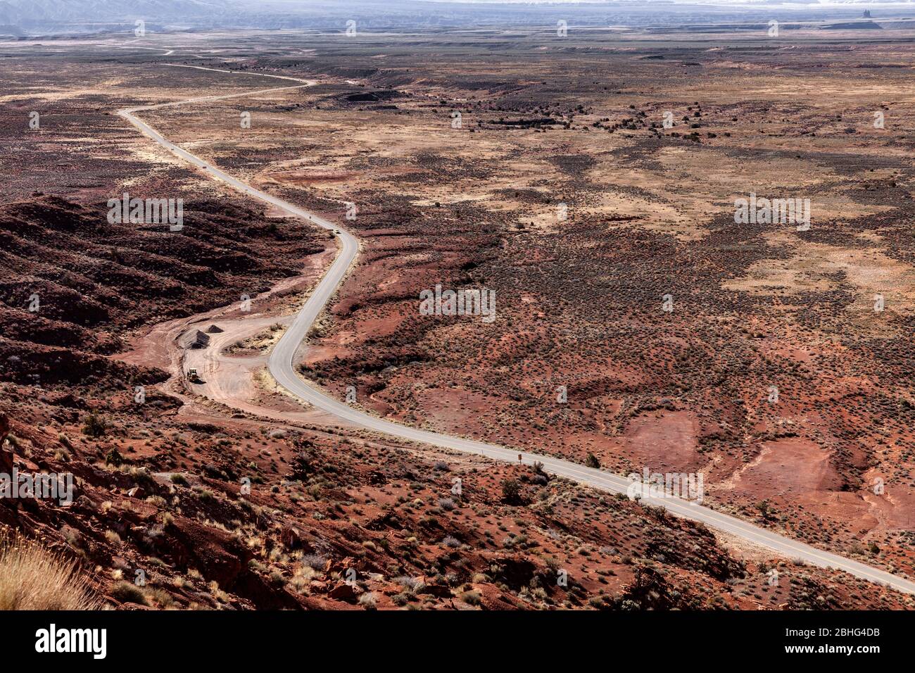 UT00546-00...UTAH - Looking down on State Route 261, San Juan County, Bureau Of Land Management. Stock Photohttps://www.alamy.com/image-license-details/?v=1https://www.alamy.com/ut00546-00utah-looking-down-on-state-route-261-san-juan-county-bureau-of-land-management-image355011255.html
RM2BHG4DB–UT00546-00...UTAH - Looking down on State Route 261, San Juan County, Bureau Of Land Management.
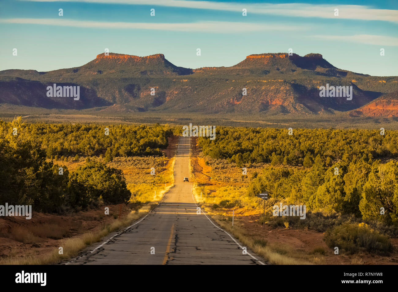 Bears Ears Buttes, once part of Bears Ears National Monument, viewed from Utah State Route 261, Utah, USA Stock Photohttps://www.alamy.com/image-license-details/?v=1https://www.alamy.com/bears-ears-buttes-once-part-of-bears-ears-national-monument-viewed-from-utah-state-route-261-utah-usa-image228520244.html
RFR7NYW8–Bears Ears Buttes, once part of Bears Ears National Monument, viewed from Utah State Route 261, Utah, USA
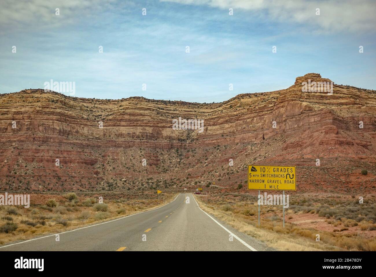 Utah State Route 261 leading up to the Moki Dugway with a warning sign of the switchbacks and grade Stock Photohttps://www.alamy.com/image-license-details/?v=1https://www.alamy.com/utah-state-route-261-leading-up-to-the-moki-dugway-with-a-warning-sign-of-the-switchbacks-and-grade-image346826311.html
RM2B478DY–Utah State Route 261 leading up to the Moki Dugway with a warning sign of the switchbacks and grade
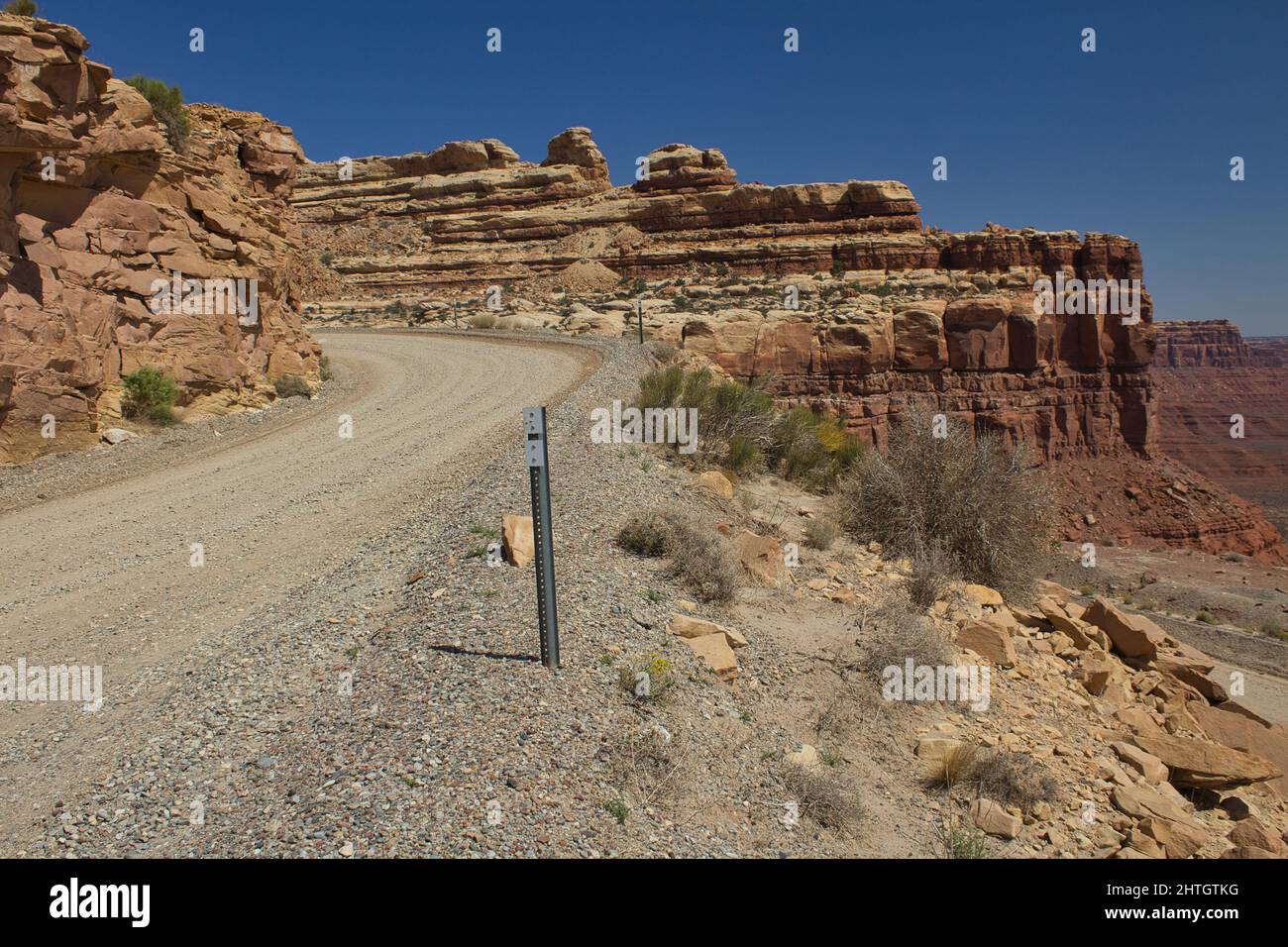 Moki Dugway near Mexican Hat, San Juan County, Utah, USA Stock Photohttps://www.alamy.com/image-license-details/?v=1https://www.alamy.com/moki-dugway-near-mexican-hat-san-juan-county-utah-usa-image462591908.html
RF2HTGTKG–Moki Dugway near Mexican Hat, San Juan County, Utah, USA
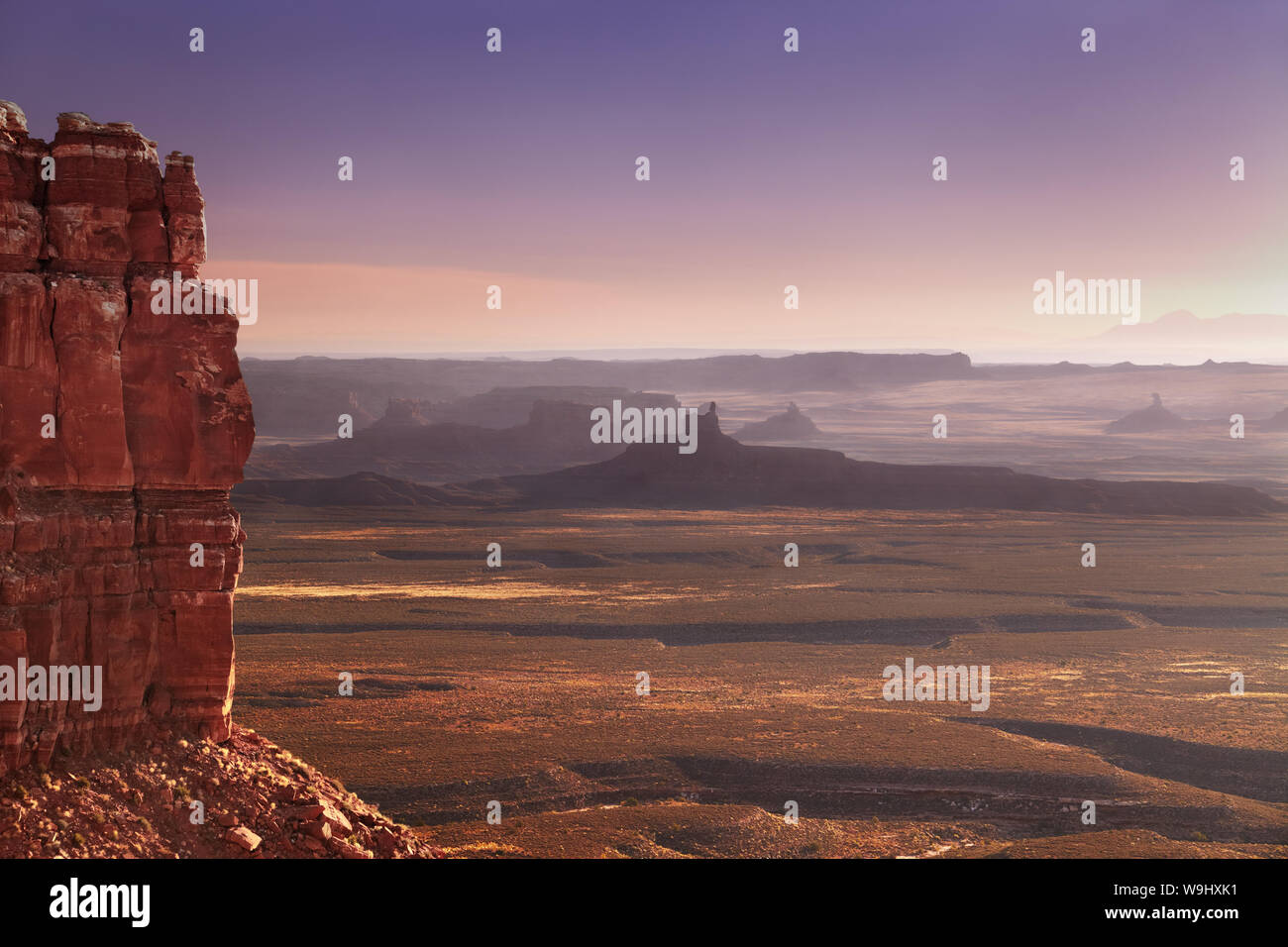 View from Moki Dugway across the Utah desert at surise, Route 261, USA Stock Photohttps://www.alamy.com/image-license-details/?v=1https://www.alamy.com/view-from-moki-dugway-across-the-utah-desert-at-surise-route-261-usa-image264081525.html
RFW9HXK1–View from Moki Dugway across the Utah desert at surise, Route 261, USA
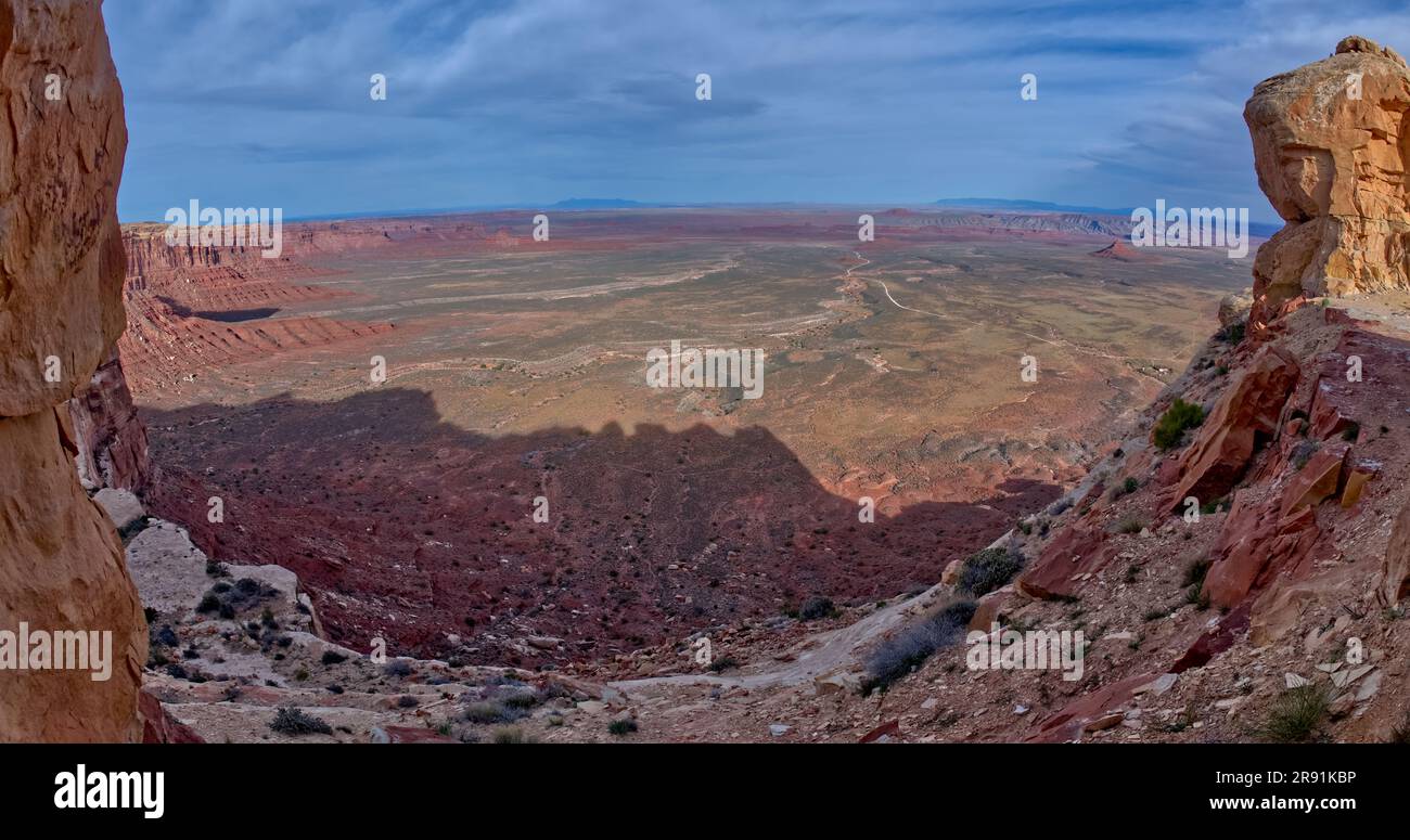 View of Valley of the Gods in Utah from the Moki Dugway, also called Utah State Route 261. Stock Photohttps://www.alamy.com/image-license-details/?v=1https://www.alamy.com/view-of-valley-of-the-gods-in-utah-from-the-moki-dugway-also-called-utah-state-route-261-image556300858.html
RF2R91KBP–View of Valley of the Gods in Utah from the Moki Dugway, also called Utah State Route 261.
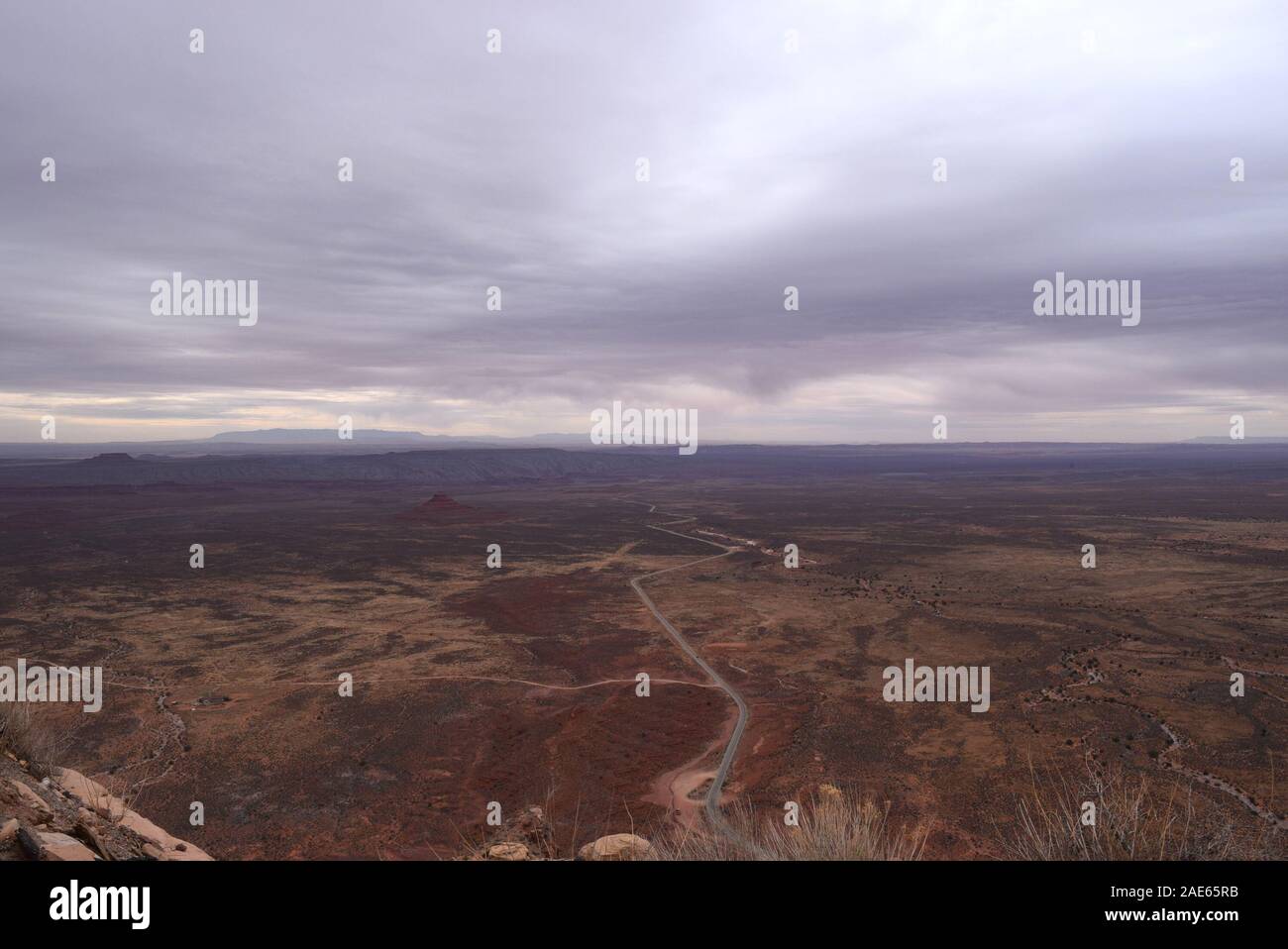 Utah State Route 261 stretches off into the distance into Navajo country. Taken from the Moki Dugway. Stock Photohttps://www.alamy.com/image-license-details/?v=1https://www.alamy.com/utah-state-route-261-stretches-off-into-the-distance-into-navajo-country-taken-from-the-moki-dugway-image335738463.html
RM2AE65RB–Utah State Route 261 stretches off into the distance into Navajo country. Taken from the Moki Dugway.
 UT00633-00...UTAH - Moki Dugway, Highway 261, a dirt road that switchbacks steeply to the summity of Cedar Mesa. Stock Photohttps://www.alamy.com/image-license-details/?v=1https://www.alamy.com/ut00633-00utah-moki-dugway-highway-261-a-dirt-road-that-switchbacks-steeply-to-the-summity-of-cedar-mesa-image359393492.html
RM2BTKP1T–UT00633-00...UTAH - Moki Dugway, Highway 261, a dirt road that switchbacks steeply to the summity of Cedar Mesa.
 The Moki Dugway, located on Utah Route 261 just north of Mexican Hat, Utah is a staggering, graded dirt switchback road carved into the face of the cl Stock Photohttps://www.alamy.com/image-license-details/?v=1https://www.alamy.com/the-moki-dugway-located-on-utah-route-261-just-north-of-mexican-hat-image153257463.html
RFJW9DCR–The Moki Dugway, located on Utah Route 261 just north of Mexican Hat, Utah is a staggering, graded dirt switchback road carved into the face of the cl
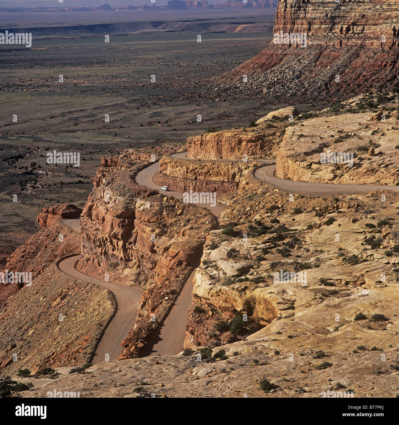 A winding road, Route 261, Utah USA Stock Photohttps://www.alamy.com/image-license-details/?v=1https://www.alamy.com/stock-photo-a-winding-road-route-261-utah-usa-21684422.html
RMB77PKJ–A winding road, Route 261, Utah USA
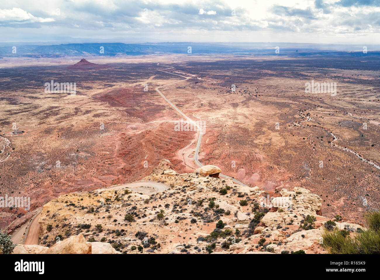 View from Cedar Mesa at Moki Dugway, Utah, USA Stock Photohttps://www.alamy.com/image-license-details/?v=1https://www.alamy.com/view-from-cedar-mesa-at-moki-dugway-utah-usa-image224485613.html
RMR165K9–View from Cedar Mesa at Moki Dugway, Utah, USA
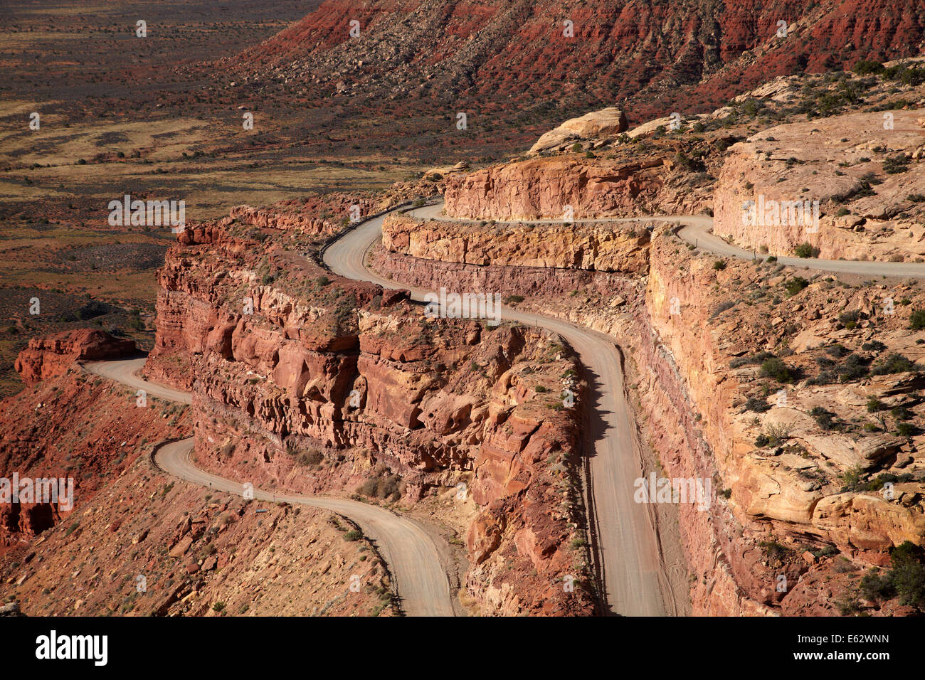 Moki Dugway (or Mokee Dugway) switchback road, climbing Cedar Mesa, near Mexican Hat, San Juan County, Utah, USA Stock Photohttps://www.alamy.com/image-license-details/?v=1https://www.alamy.com/stock-photo-moki-dugway-or-mokee-dugway-switchback-road-climbing-cedar-mesa-near-72593521.html
RME62WNN–Moki Dugway (or Mokee Dugway) switchback road, climbing Cedar Mesa, near Mexican Hat, San Juan County, Utah, USA
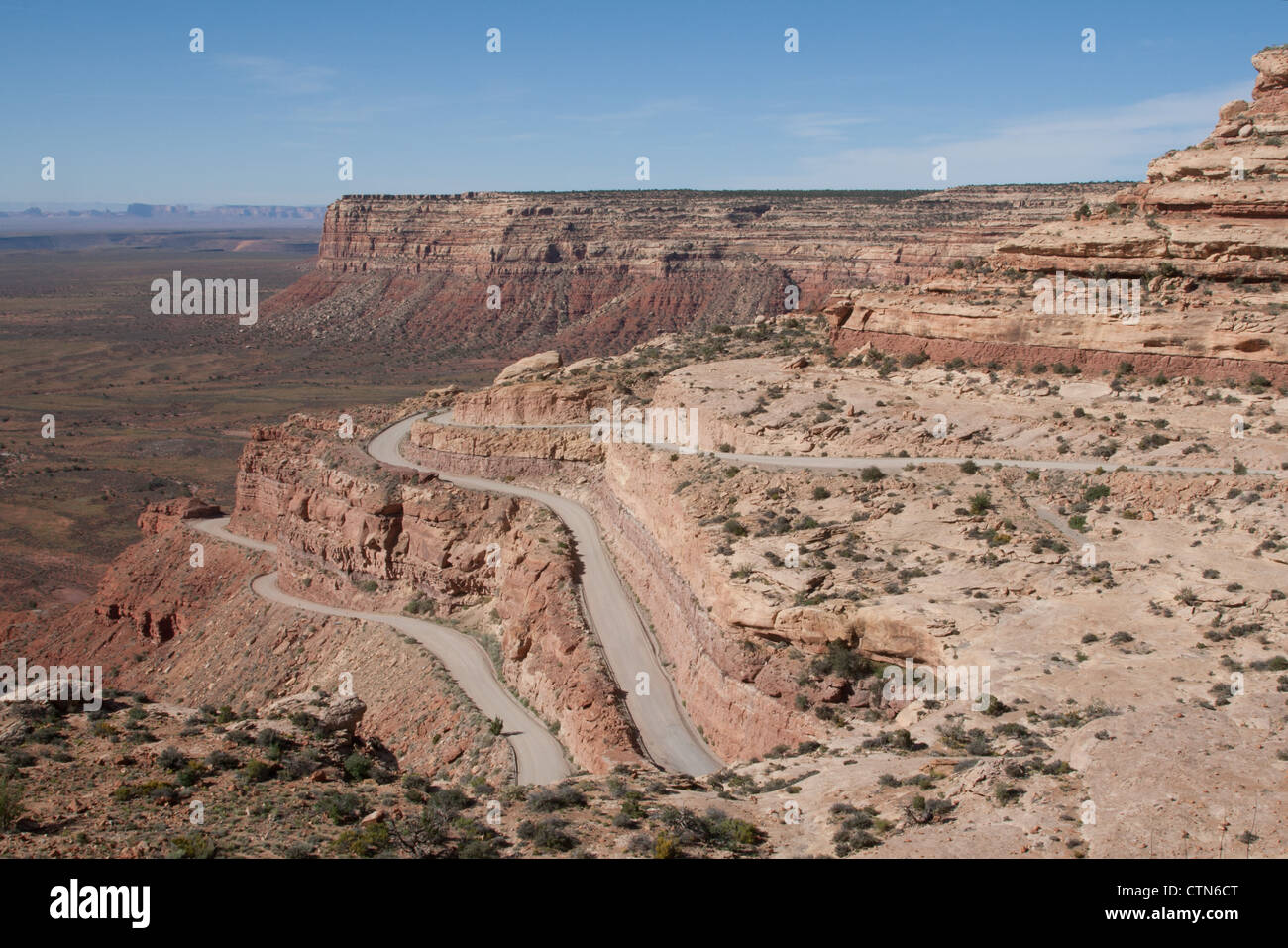 Moki Dugway, San Juan County, Utah Stock Photohttps://www.alamy.com/image-license-details/?v=1https://www.alamy.com/stock-photo-moki-dugway-san-juan-county-utah-49638536.html
RMCTN6CT–Moki Dugway, San Juan County, Utah
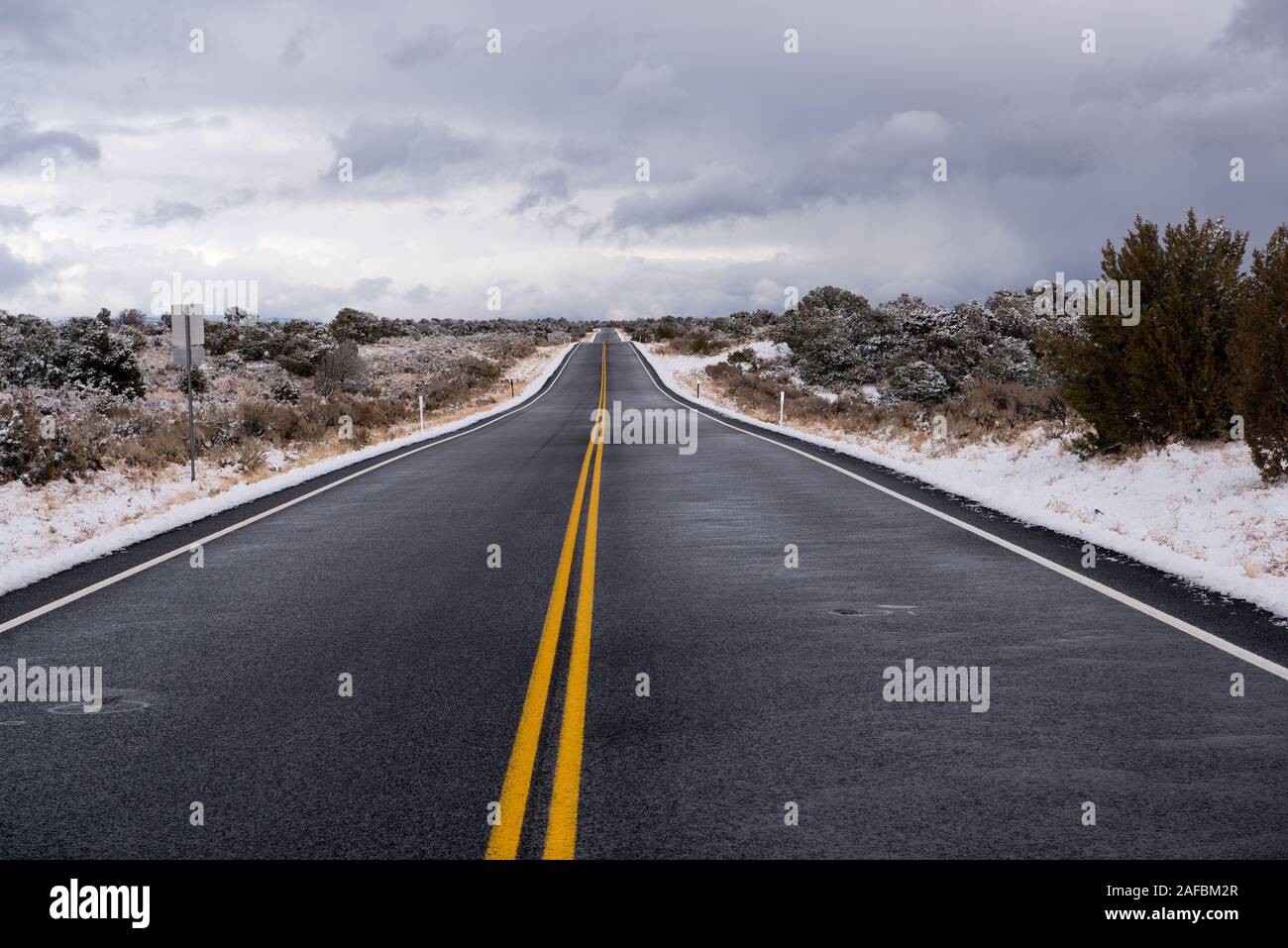 Winter on Cedar Mesa in San Juan County, Utah Stock Photohttps://www.alamy.com/image-license-details/?v=1https://www.alamy.com/winter-on-cedar-mesa-in-san-juan-county-utah-image336474063.html
RF2AFBM2R–Winter on Cedar Mesa in San Juan County, Utah
 High-angle view of the Moki Dugway, along Utah State Route 261, near Mexican Hat, Utah, USA. Stock Photohttps://www.alamy.com/image-license-details/?v=1https://www.alamy.com/high-angle-view-of-the-moki-dugway-along-utah-state-route-261-near-mexican-hat-utah-usa-image547216190.html
RM2PP7RRA–High-angle view of the Moki Dugway, along Utah State Route 261, near Mexican Hat, Utah, USA.
 Panorama, USA, Utah, State Route 261, Moki-Dugway Stock Photohttps://www.alamy.com/image-license-details/?v=1https://www.alamy.com/panorama-usa-utah-state-route-261-moki-dugway-image414759238.html
RM2F2NWHX–Panorama, USA, Utah, State Route 261, Moki-Dugway
 view from Moki Dugway, Utah Stock Photohttps://www.alamy.com/image-license-details/?v=1https://www.alamy.com/stock-photo-view-from-moki-dugway-utah-34971128.html
RMC0W20T–view from Moki Dugway, Utah
 Moki Dugway overcomes the edge of the Cedar Mesa, view of the Valley of the Gods, Bears Ears National Monument, Utah State Route 261, Utah, USA Stock Photohttps://www.alamy.com/image-license-details/?v=1https://www.alamy.com/moki-dugway-overcomes-the-edge-of-the-cedar-mesa-view-of-the-valley-of-the-gods-bears-ears-national-monument-utah-state-route-261-utah-usa-image329472704.html
RF2A40NP8–Moki Dugway overcomes the edge of the Cedar Mesa, view of the Valley of the Gods, Bears Ears National Monument, Utah State Route 261, Utah, USA
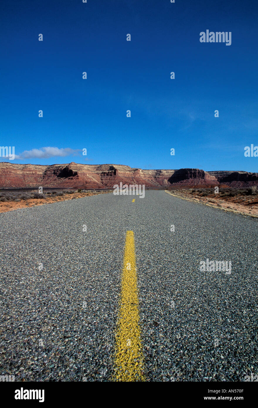 Road shot route 261 Utah USA Stock Photohttps://www.alamy.com/image-license-details/?v=1https://www.alamy.com/road-shot-route-261-utah-usa-image1398542.html
RMAN570F–Road shot route 261 Utah USA
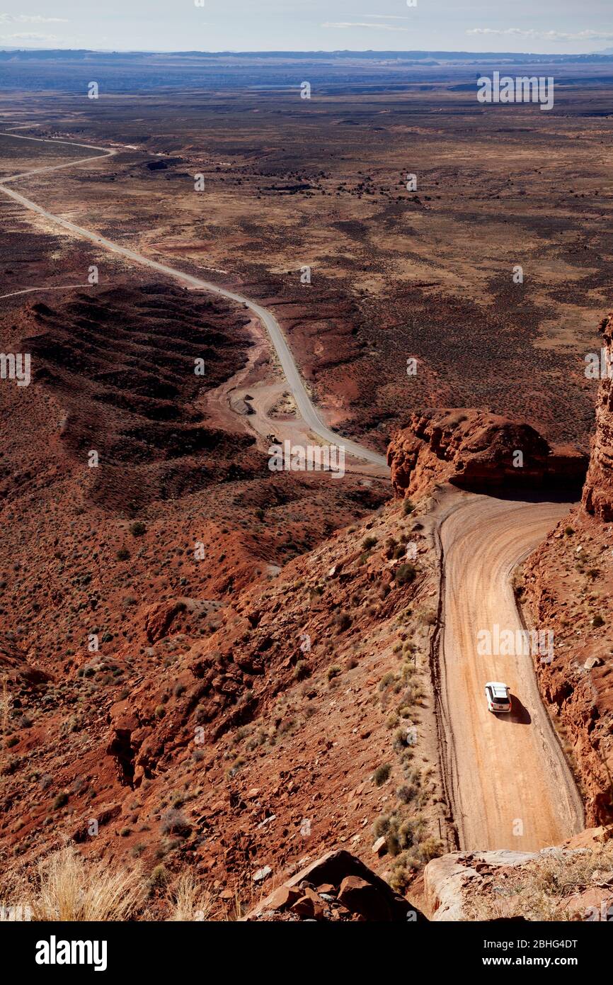 UT00547-00...UTAH - Looking down on State Route 261 and Moki Dugway form Cedar Mesa, San Juan County, Bureau Of Land Management. Stock Photohttps://www.alamy.com/image-license-details/?v=1https://www.alamy.com/ut00547-00utah-looking-down-on-state-route-261-and-moki-dugway-form-cedar-mesa-san-juan-county-bureau-of-land-management-image355011268.html
RM2BHG4DT–UT00547-00...UTAH - Looking down on State Route 261 and Moki Dugway form Cedar Mesa, San Juan County, Bureau Of Land Management.
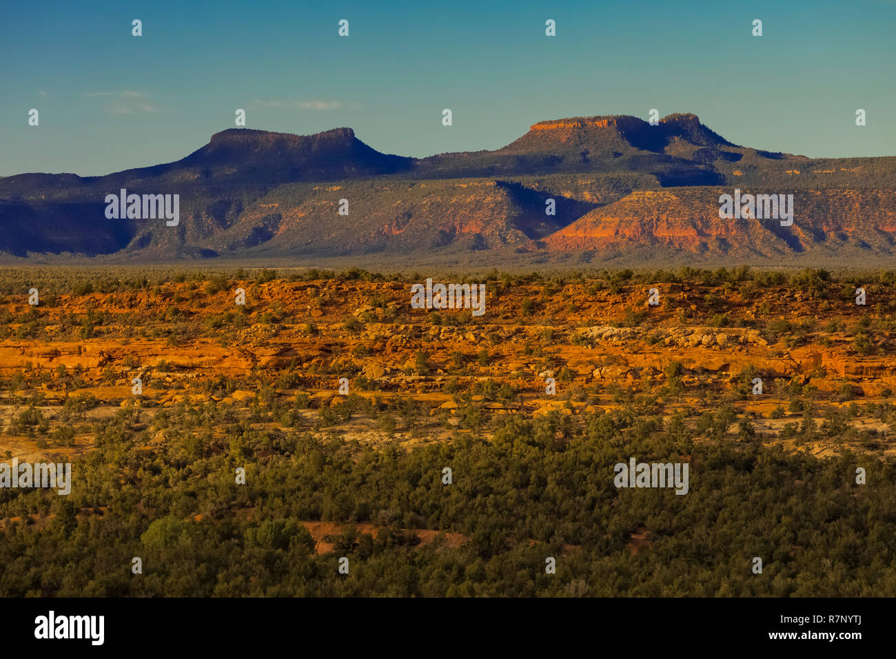 Bears Ears Buttes, once part of Bears Ears National Monument, viewed from Utah State Route 261, Utah, USA Stock Photohttps://www.alamy.com/image-license-details/?v=1https://www.alamy.com/bears-ears-buttes-once-part-of-bears-ears-national-monument-viewed-from-utah-state-route-261-utah-usa-image228520226.html
RFR7NYTJ–Bears Ears Buttes, once part of Bears Ears National Monument, viewed from Utah State Route 261, Utah, USA
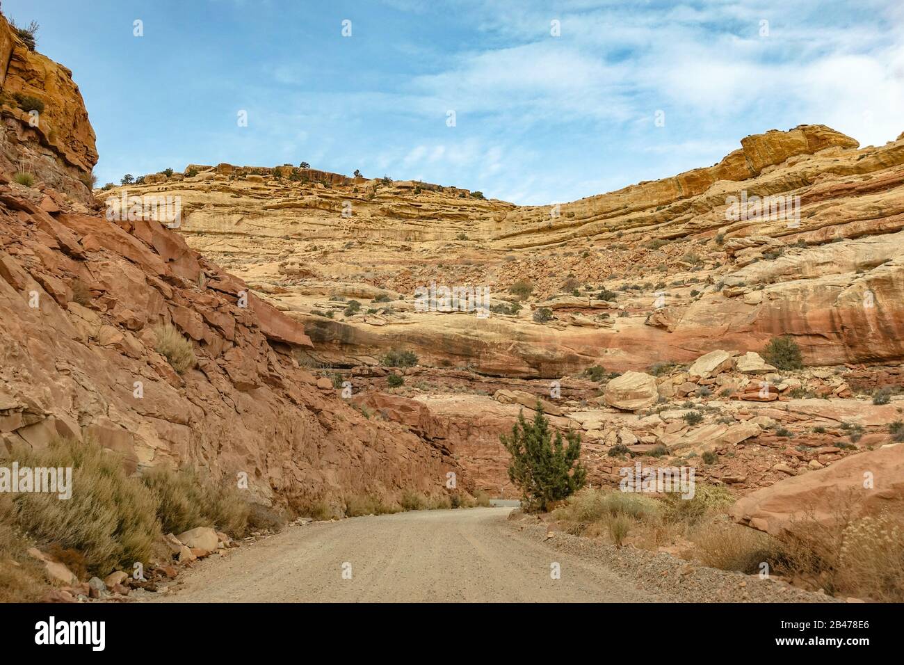 The Mokee / Moki Dugway winding up the side of an escarpment in Utah Stock Photohttps://www.alamy.com/image-license-details/?v=1https://www.alamy.com/the-mokee-moki-dugway-winding-up-the-side-of-an-escarpment-in-utah-image346826318.html
RM2B478E6–The Mokee / Moki Dugway winding up the side of an escarpment in Utah
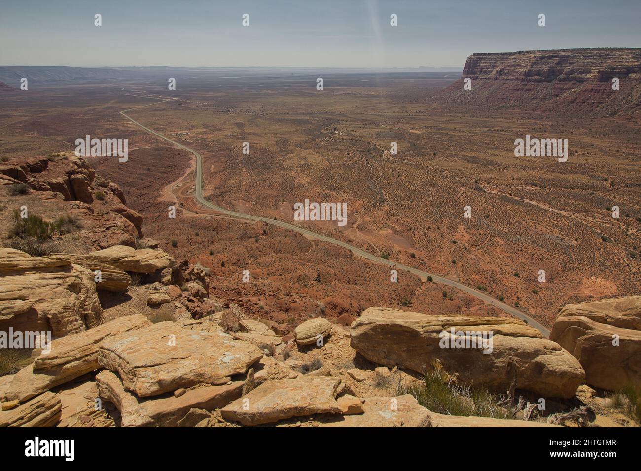 Moki Dugway near Mexican Hat, San Juan County, Utah, USA Stock Photohttps://www.alamy.com/image-license-details/?v=1https://www.alamy.com/moki-dugway-near-mexican-hat-san-juan-county-utah-usa-image462591943.html
RF2HTGTMR–Moki Dugway near Mexican Hat, San Juan County, Utah, USA
 Muley Point along Route 261 near Dugway, Utah Stock Photohttps://www.alamy.com/image-license-details/?v=1https://www.alamy.com/stock-photo-muley-point-along-route-261-near-dugway-utah-49898163.html
RFCW51H7–Muley Point along Route 261 near Dugway, Utah
 View of Valley of the Gods in Utah from the Moki Dugway, also called Utah State Route 261. Stock Photohttps://www.alamy.com/image-license-details/?v=1https://www.alamy.com/view-of-valley-of-the-gods-in-utah-from-the-moki-dugway-also-called-utah-state-route-261-image556300724.html
RF2R91K70–View of Valley of the Gods in Utah from the Moki Dugway, also called Utah State Route 261.
 Utah State Route 261 stretches off into the distance into Navajo country. Taken from the Moki Dugway. Stock Photohttps://www.alamy.com/image-license-details/?v=1https://www.alamy.com/utah-state-route-261-stretches-off-into-the-distance-into-navajo-country-taken-from-the-moki-dugway-image335738415.html
RM2AE65NK–Utah State Route 261 stretches off into the distance into Navajo country. Taken from the Moki Dugway.
 UT00631-00...UTAH - Hightway 261, the Moki Dugway, switchbacking up around cliffs to reach the summit of the Cedar Mesa. Stock Photohttps://www.alamy.com/image-license-details/?v=1https://www.alamy.com/ut00631-00utah-hightway-261-the-moki-dugway-switchbacking-up-around-cliffs-to-reach-the-summit-of-the-cedar-mesa-image359393462.html
RM2BTKP0P–UT00631-00...UTAH - Hightway 261, the Moki Dugway, switchbacking up around cliffs to reach the summit of the Cedar Mesa.
 The Moki Dugway, located on Utah Route 261 just north of Mexican Hat, Utah is a staggering, graded dirt switchback road carved into the face of the cl Stock Photohttps://www.alamy.com/image-license-details/?v=1https://www.alamy.com/the-moki-dugway-located-on-utah-route-261-just-north-of-mexican-hat-image153257835.html
RFJW9DX3–The Moki Dugway, located on Utah Route 261 just north of Mexican Hat, Utah is a staggering, graded dirt switchback road carved into the face of the cl
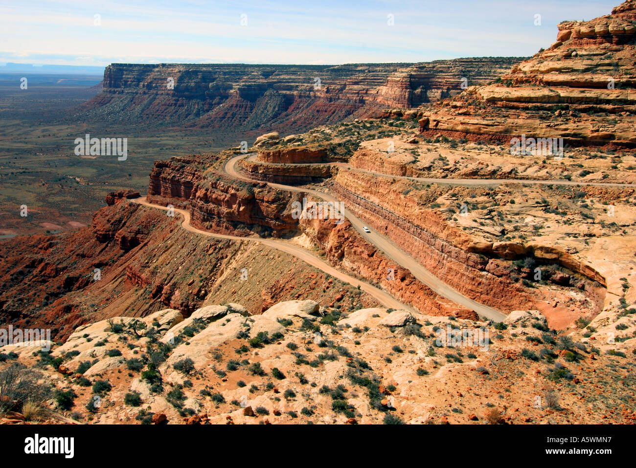 the moki dugway, highway 261, utah Stock Photohttps://www.alamy.com/image-license-details/?v=1https://www.alamy.com/the-moki-dugway-highway-261-utah-image6510678.html
RMA5WMN7–the moki dugway, highway 261, utah
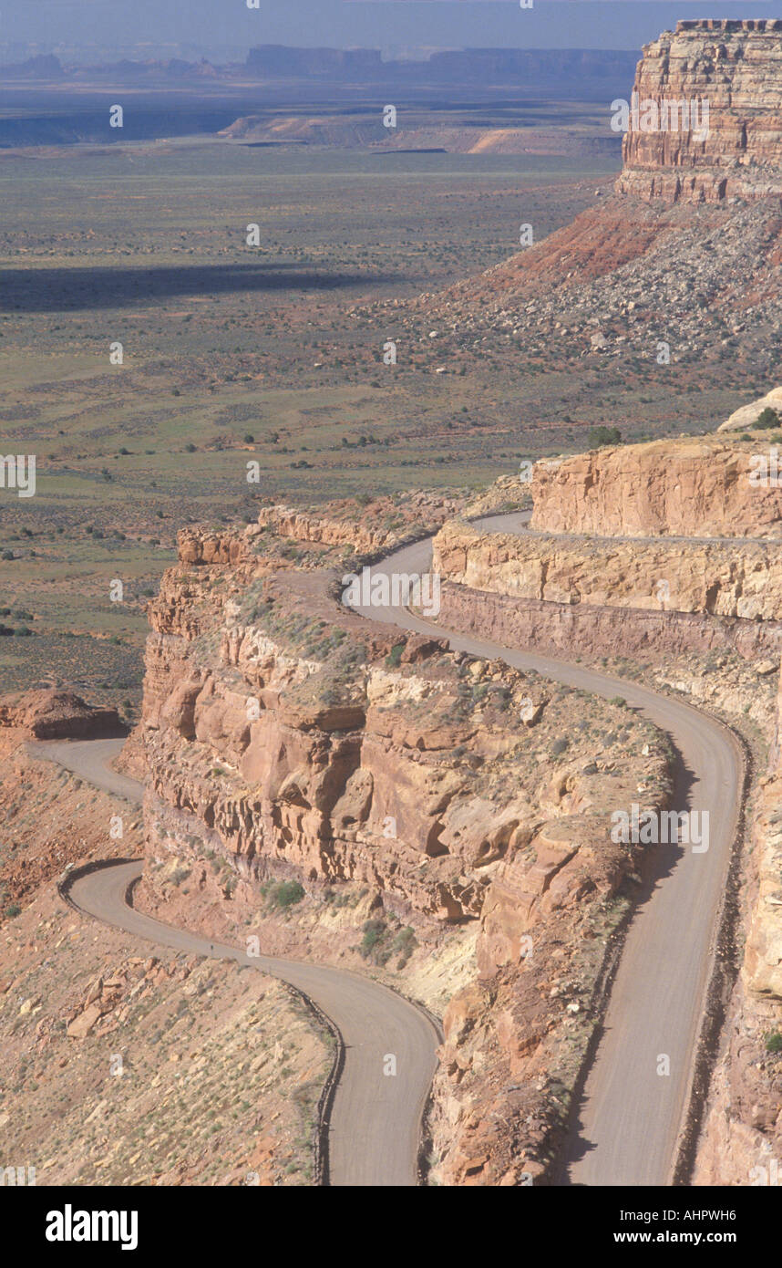 Route 261 Southeast Utah overlooking Valley of Gods Stock Photohttps://www.alamy.com/image-license-details/?v=1https://www.alamy.com/route-261-southeast-utah-overlooking-valley-of-gods-image8301781.html
RMAHPWH6–Route 261 Southeast Utah overlooking Valley of Gods
 Moki Dugway (or Mokee Dugway) switchback road, climbing Cedar Mesa, near Mexican Hat, San Juan County, Utah, USA Stock Photohttps://www.alamy.com/image-license-details/?v=1https://www.alamy.com/stock-photo-moki-dugway-or-mokee-dugway-switchback-road-climbing-cedar-mesa-near-72593519.html
RME62WNK–Moki Dugway (or Mokee Dugway) switchback road, climbing Cedar Mesa, near Mexican Hat, San Juan County, Utah, USA
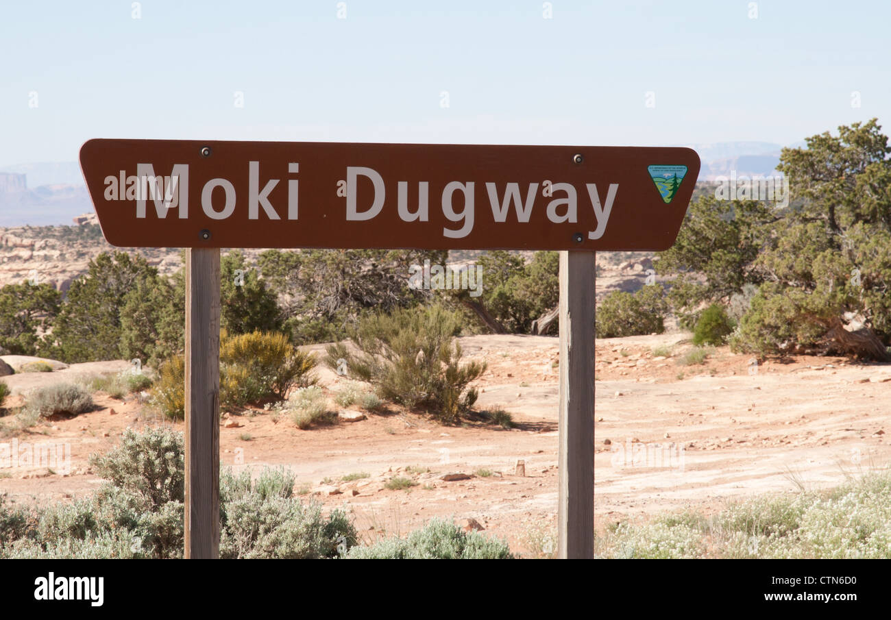 Moki Dugway Sign, San Juan County, Utah Stock Photohttps://www.alamy.com/image-license-details/?v=1https://www.alamy.com/stock-photo-moki-dugway-sign-san-juan-county-utah-49638540.html
RMCTN6D0–Moki Dugway Sign, San Juan County, Utah
 Winter on Cedar Mesa, Utah Stock Photohttps://www.alamy.com/image-license-details/?v=1https://www.alamy.com/winter-on-cedar-mesa-utah-image336474181.html
RF2AFBM71–Winter on Cedar Mesa, Utah
 High-angle view of the Moki Dugway, along Utah State Route 261, near Mexican Hat, Utah, USA. Stock Photohttps://www.alamy.com/image-license-details/?v=1https://www.alamy.com/high-angle-view-of-the-moki-dugway-along-utah-state-route-261-near-mexican-hat-utah-usa-image547216203.html
RM2PP7RRR–High-angle view of the Moki Dugway, along Utah State Route 261, near Mexican Hat, Utah, USA.
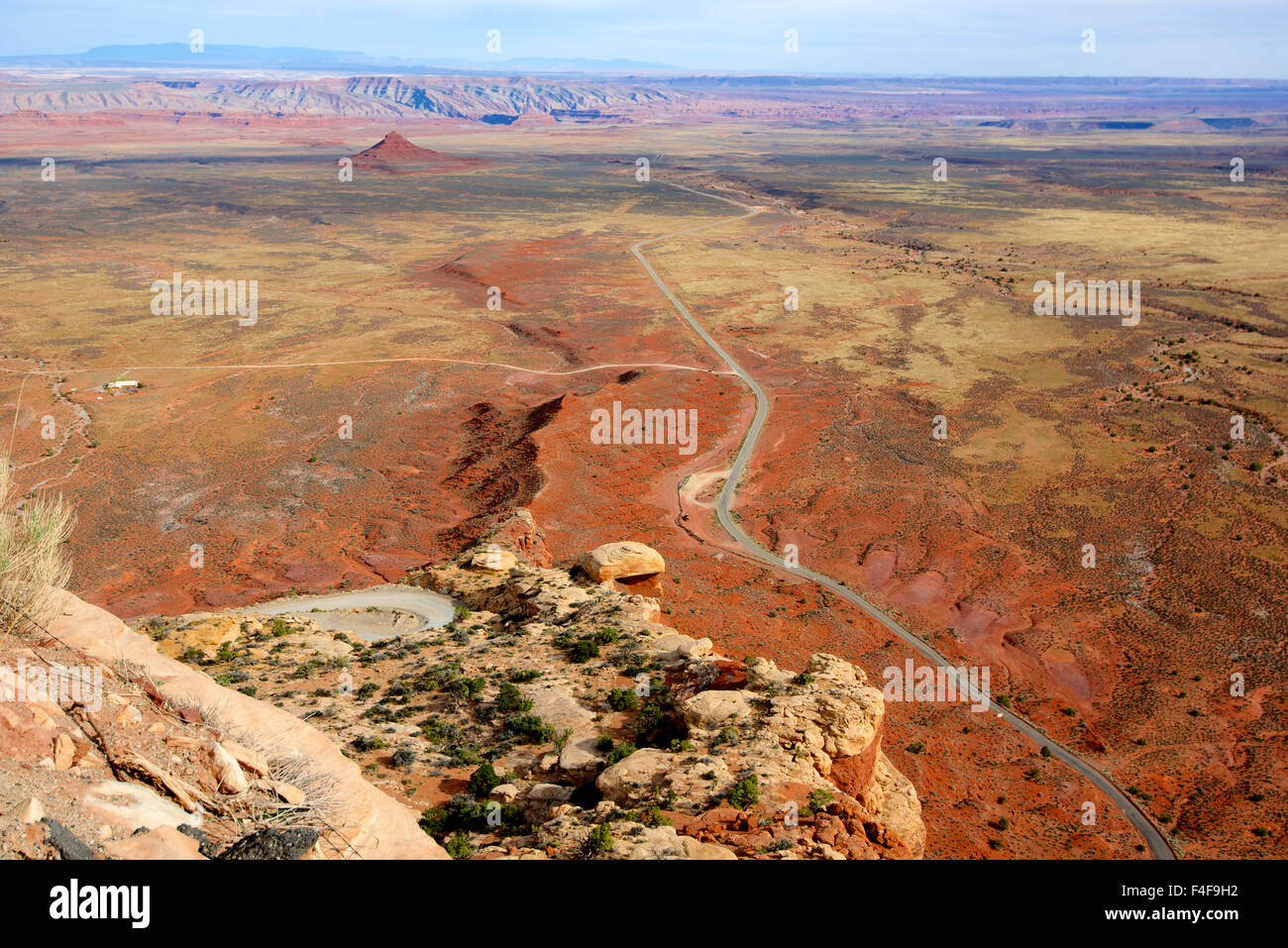 On Utah Route 261 the Moki Dugway drops 1200 feet at an 11 percent grade in 3 miles of gravel road, dropping off Cedar Mesa to the San Juan River valley. A few scant pullouts offer stunning views (Large format sizes available) Stock Photohttps://www.alamy.com/image-license-details/?v=1https://www.alamy.com/stock-photo-on-utah-route-261-the-moki-dugway-drops-1200-feet-at-an-11-percent-88847278.html
RFF4F9H2–On Utah Route 261 the Moki Dugway drops 1200 feet at an 11 percent grade in 3 miles of gravel road, dropping off Cedar Mesa to the San Juan River valley. A few scant pullouts offer stunning views (Large format sizes available)
 Moki Dugway leads through the steep face of the Cedar Mesa, view of the Valley of the Gods, Bears Ears National Monument, Utah State Route 261, Utah Stock Photohttps://www.alamy.com/image-license-details/?v=1https://www.alamy.com/moki-dugway-leads-through-the-steep-face-of-the-cedar-mesa-view-of-the-valley-of-the-gods-bears-ears-national-monument-utah-state-route-261-utah-image329472696.html
RF2A40NP0–Moki Dugway leads through the steep face of the Cedar Mesa, view of the Valley of the Gods, Bears Ears National Monument, Utah State Route 261, Utah
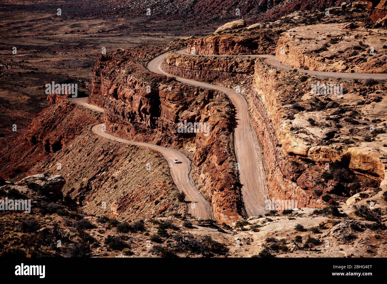 UT00548-00...UTAH - Looking down Moki Dugway Road form Cedar Mesa, San Juan County, Bureau Of Land Management. Stock Photohttps://www.alamy.com/image-license-details/?v=1https://www.alamy.com/ut00548-00utah-looking-down-moki-dugway-road-form-cedar-mesa-san-juan-county-bureau-of-land-management-image355011296.html
RM2BHG4ET–UT00548-00...UTAH - Looking down Moki Dugway Road form Cedar Mesa, San Juan County, Bureau Of Land Management.
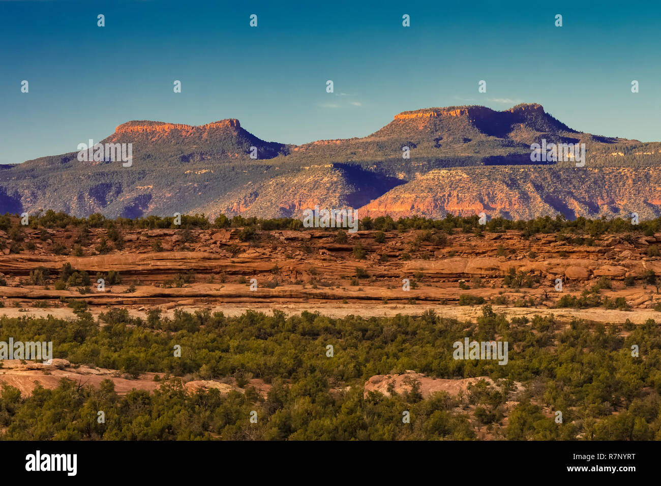 Bears Ears Buttes, once part of Bears Ears National Monument, viewed from Utah State Route 261, Utah, USA Stock Photohttps://www.alamy.com/image-license-details/?v=1https://www.alamy.com/bears-ears-buttes-once-part-of-bears-ears-national-monument-viewed-from-utah-state-route-261-utah-usa-image228520204.html
RFR7NYRT–Bears Ears Buttes, once part of Bears Ears National Monument, viewed from Utah State Route 261, Utah, USA
 The Mokee / Moki Dugway winding up the side of an escarpment in Utah Stock Photohttps://www.alamy.com/image-license-details/?v=1https://www.alamy.com/the-mokee-moki-dugway-winding-up-the-side-of-an-escarpment-in-utah-image346826315.html
RM2B478E3–The Mokee / Moki Dugway winding up the side of an escarpment in Utah
 Moki Dugway near Mexican Hat, San Juan County, Utah, USA Stock Photohttps://www.alamy.com/image-license-details/?v=1https://www.alamy.com/moki-dugway-near-mexican-hat-san-juan-county-utah-usa-image462591944.html
RF2HTGTMT–Moki Dugway near Mexican Hat, San Juan County, Utah, USA
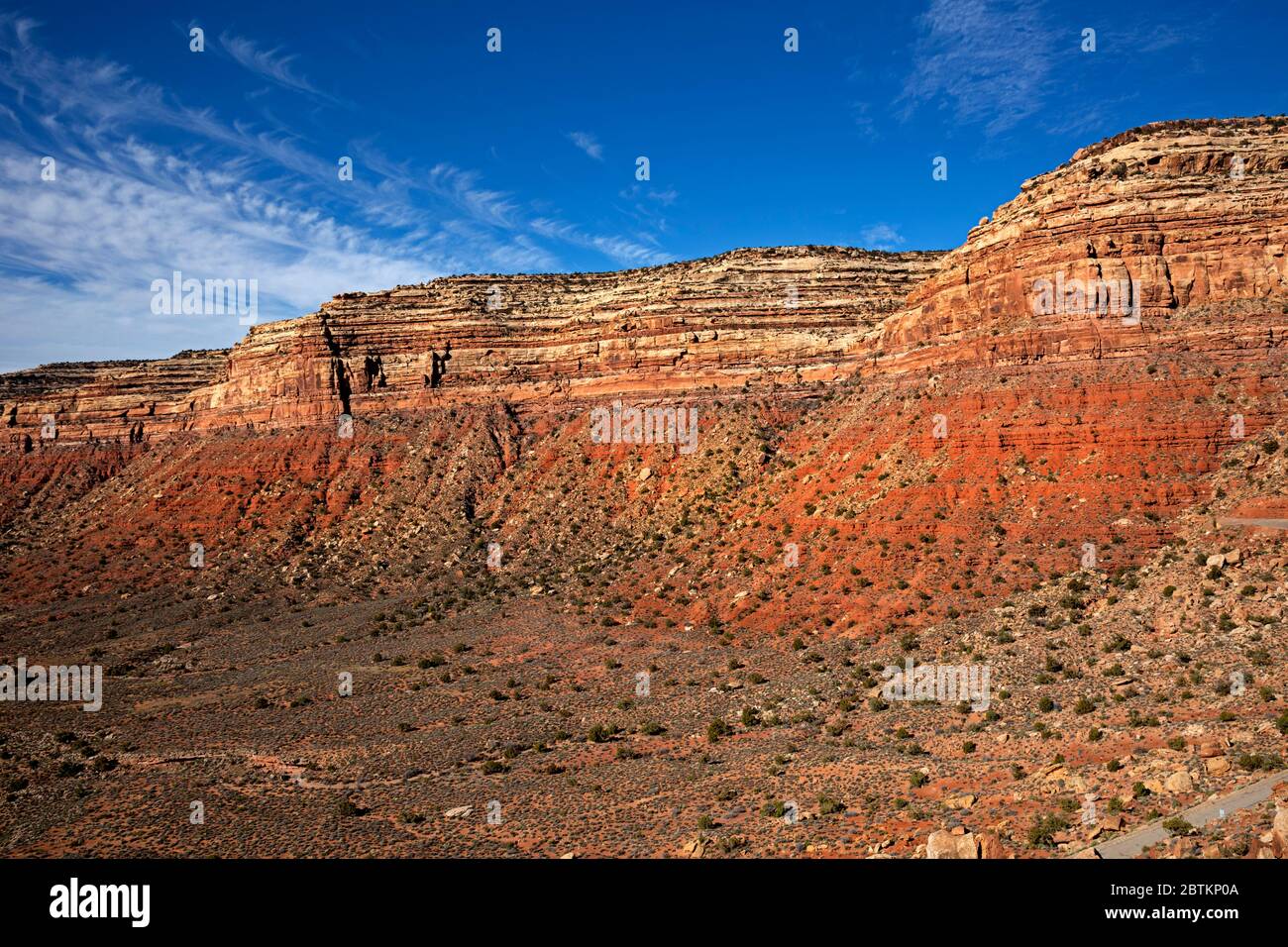 UT00630-00...UTAH - Colorful sandstone in perfect layers viewed from the Moki Dugway, a road that steeply switchbacks up to the crest of Cedar Mesa. Stock Photohttps://www.alamy.com/image-license-details/?v=1https://www.alamy.com/ut00630-00utah-colorful-sandstone-in-perfect-layers-viewed-from-the-moki-dugway-a-road-that-steeply-switchbacks-up-to-the-crest-of-cedar-mesa-image359393450.html
RM2BTKP0A–UT00630-00...UTAH - Colorful sandstone in perfect layers viewed from the Moki Dugway, a road that steeply switchbacks up to the crest of Cedar Mesa.
 The Moki Dugway, located on Utah Route 261 just north of Mexican Hat, Utah is a staggering, graded dirt switchback road carved into the face of the cl Stock Photohttps://www.alamy.com/image-license-details/?v=1https://www.alamy.com/the-moki-dugway-located-on-utah-route-261-just-north-of-mexican-hat-image153258127.html
RFJW9E8F–The Moki Dugway, located on Utah Route 261 just north of Mexican Hat, Utah is a staggering, graded dirt switchback road carved into the face of the cl
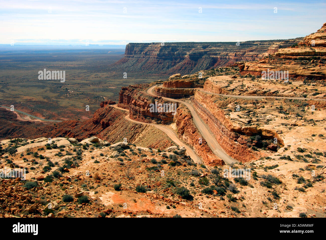 the moki dugway, highway 261, utah Stock Photohttps://www.alamy.com/image-license-details/?v=1https://www.alamy.com/the-moki-dugway-highway-261-utah-image6510670.html
RMA5WMMF–the moki dugway, highway 261, utah
 Muley Point along Route 261 near Dugway Utah Stock Photohttps://www.alamy.com/image-license-details/?v=1https://www.alamy.com/muley-point-along-route-261-near-dugway-utah-image8328230.html
RFAHYPX7–Muley Point along Route 261 near Dugway Utah
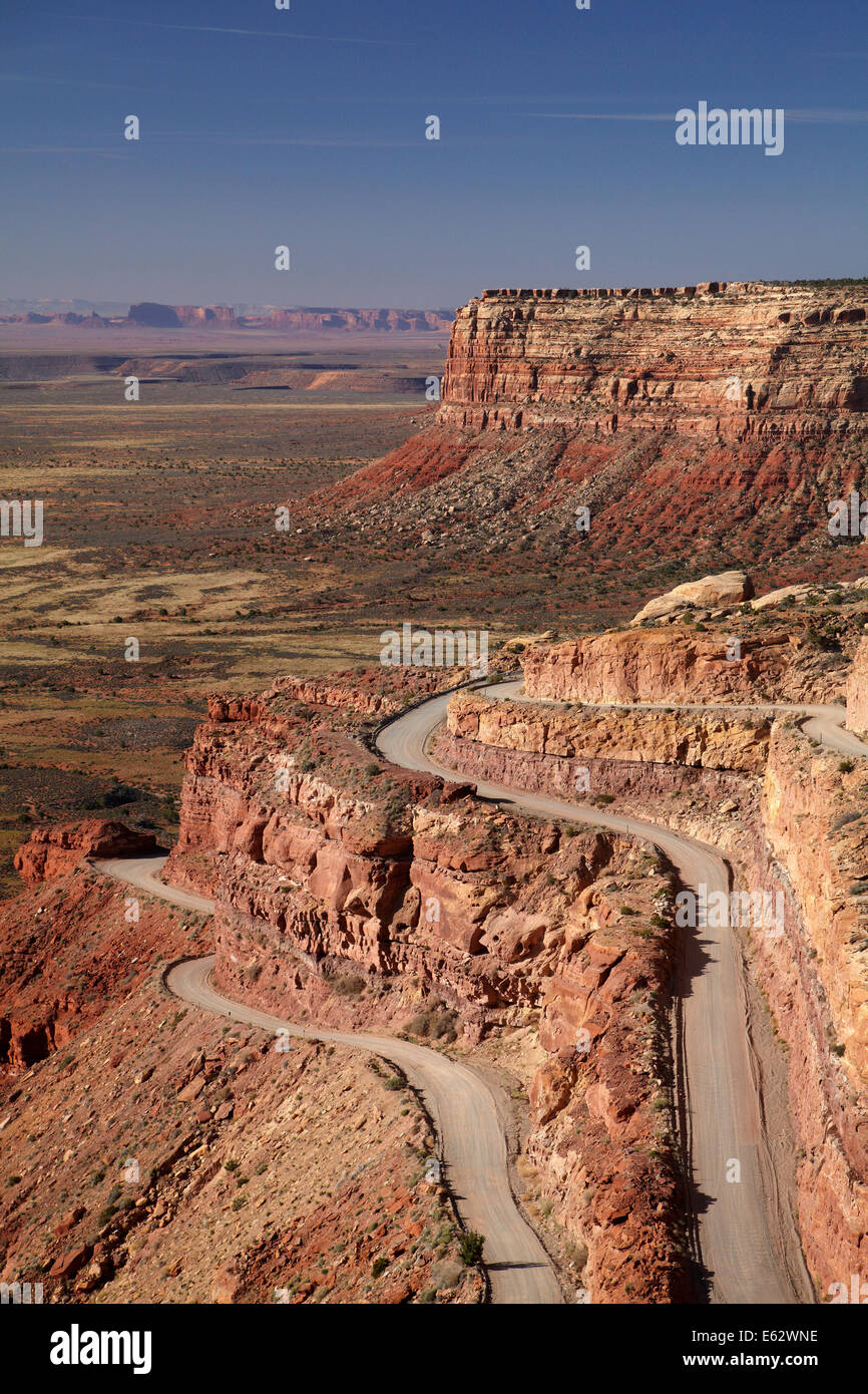 Moki Dugway (or Mokee Dugway) switchback road, climbing Cedar Mesa, near Mexican Hat, San Juan County, Utah, USA Stock Photohttps://www.alamy.com/image-license-details/?v=1https://www.alamy.com/stock-photo-moki-dugway-or-mokee-dugway-switchback-road-climbing-cedar-mesa-near-72593514.html
RME62WNE–Moki Dugway (or Mokee Dugway) switchback road, climbing Cedar Mesa, near Mexican Hat, San Juan County, Utah, USA
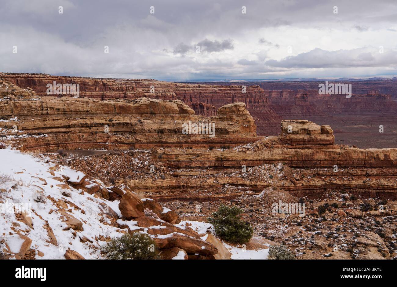 Mokee Dugway, San Juan County, Utah, USA Stock Photohttps://www.alamy.com/image-license-details/?v=1https://www.alamy.com/mokee-dugway-san-juan-county-utah-usa-image336473970.html
RF2AFBKYE–Mokee Dugway, San Juan County, Utah, USA
 High-angle view of the Moki Dugway, along Utah State Route 261, near Mexican Hat, Utah, USA. Stock Photohttps://www.alamy.com/image-license-details/?v=1https://www.alamy.com/high-angle-view-of-the-moki-dugway-along-utah-state-route-261-near-mexican-hat-utah-usa-image547216189.html
RM2PP7RR9–High-angle view of the Moki Dugway, along Utah State Route 261, near Mexican Hat, Utah, USA.
 On Utah Route 261 the Moki Dugway drops 1200 feet at an 11 percent grade in 3 miles of gravel road, dropping off Cedar Mesa to the San Juan River valley. A few scant pullouts offer stunning views (Large format sizes available) Stock Photohttps://www.alamy.com/image-license-details/?v=1https://www.alamy.com/stock-photo-on-utah-route-261-the-moki-dugway-drops-1200-feet-at-an-11-percent-88847280.html
RFF4F9H4–On Utah Route 261 the Moki Dugway drops 1200 feet at an 11 percent grade in 3 miles of gravel road, dropping off Cedar Mesa to the San Juan River valley. A few scant pullouts offer stunning views (Large format sizes available)
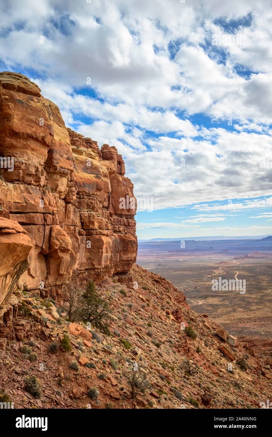 Cedar Mesa at Moki Dugway, view of the Valley of the Gods, Bears Ears National Monument, Utah State Route 261, Utah, USA Stock Photohttps://www.alamy.com/image-license-details/?v=1https://www.alamy.com/cedar-mesa-at-moki-dugway-view-of-the-valley-of-the-gods-bears-ears-national-monument-utah-state-route-261-utah-usa-image329472684.html
RF2A40NNG–Cedar Mesa at Moki Dugway, view of the Valley of the Gods, Bears Ears National Monument, Utah State Route 261, Utah, USA
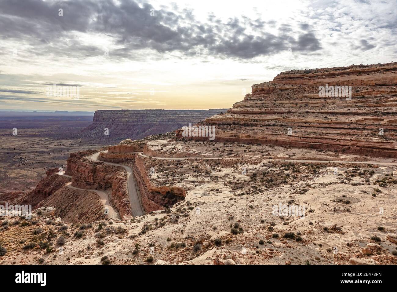 The Mokee / Moki Dugway winding up the side of an escarpment in Utah Stock Photohttps://www.alamy.com/image-license-details/?v=1https://www.alamy.com/the-mokee-moki-dugway-winding-up-the-side-of-an-escarpment-in-utah-image346826557.html
RM2B478PN–The Mokee / Moki Dugway winding up the side of an escarpment in Utah
 Moki Dugway near Mexican Hat, San Juan County, Utah, USA Stock Photohttps://www.alamy.com/image-license-details/?v=1https://www.alamy.com/moki-dugway-near-mexican-hat-san-juan-county-utah-usa-image462591954.html
RF2HTGTN6–Moki Dugway near Mexican Hat, San Juan County, Utah, USA
 UT00632-00...UTAH - Layered sandstone along viewed along the Moki Dugway, a steep, narrow, gravel road that climbs up to the top of the Cedar Mesa. Stock Photohttps://www.alamy.com/image-license-details/?v=1https://www.alamy.com/ut00632-00utah-layered-sandstone-along-viewed-along-the-moki-dugway-a-steep-narrow-gravel-road-that-climbs-up-to-the-top-of-the-cedar-mesa-image359393475.html
RM2BTKP17–UT00632-00...UTAH - Layered sandstone along viewed along the Moki Dugway, a steep, narrow, gravel road that climbs up to the top of the Cedar Mesa.
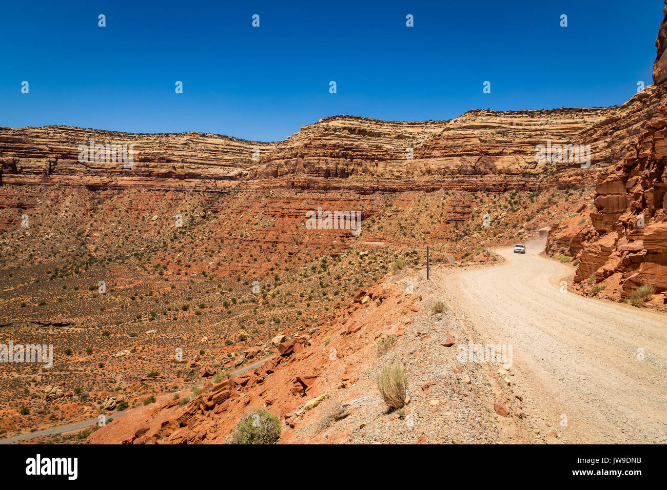 The Moki Dugway, located on Utah Route 261 just north of Mexican Hat, Utah is a staggering, graded dirt switchback road carved into the face of the cl Stock Photohttps://www.alamy.com/image-license-details/?v=1https://www.alamy.com/the-moki-dugway-located-on-utah-route-261-just-north-of-mexican-hat-image153257703.html
RFJW9DNB–The Moki Dugway, located on Utah Route 261 just north of Mexican Hat, Utah is a staggering, graded dirt switchback road carved into the face of the cl
 Muley Point along Route 261 near Dugway Utah Stock Photohttps://www.alamy.com/image-license-details/?v=1https://www.alamy.com/muley-point-along-route-261-near-dugway-utah-image1942943.html
RFA2J5A0–Muley Point along Route 261 near Dugway Utah
 Moki Dugway (or Mokee Dugway) switchback road, climbing Cedar Mesa, near Mexican Hat, San Juan County, Utah, USA Stock Photohttps://www.alamy.com/image-license-details/?v=1https://www.alamy.com/stock-photo-moki-dugway-or-mokee-dugway-switchback-road-climbing-cedar-mesa-near-72593517.html
RME62WNH–Moki Dugway (or Mokee Dugway) switchback road, climbing Cedar Mesa, near Mexican Hat, San Juan County, Utah, USA
 Scenic view over the Valley of the Gods from high up on the Moki Dugway in Utah, USA Stock Photohttps://www.alamy.com/image-license-details/?v=1https://www.alamy.com/scenic-view-over-the-valley-of-the-gods-from-high-up-on-the-moki-dugway-in-utah-usa-image336473738.html
RF2AFBKK6–Scenic view over the Valley of the Gods from high up on the Moki Dugway in Utah, USA
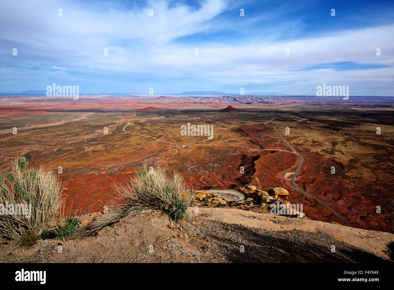 Route 261, the Moki Dugway steeply drops 1200 feet in 3 miles of gravel road, dropping off Cedar Mesa to the San Juan River valley. (Large format sizes available) Stock Photohttps://www.alamy.com/image-license-details/?v=1https://www.alamy.com/stock-photo-route-261-the-moki-dugway-steeply-drops-1200-feet-in-3-miles-of-gravel-88846926.html
RMF4F94E–Route 261, the Moki Dugway steeply drops 1200 feet in 3 miles of gravel road, dropping off Cedar Mesa to the San Juan River valley. (Large format sizes available)
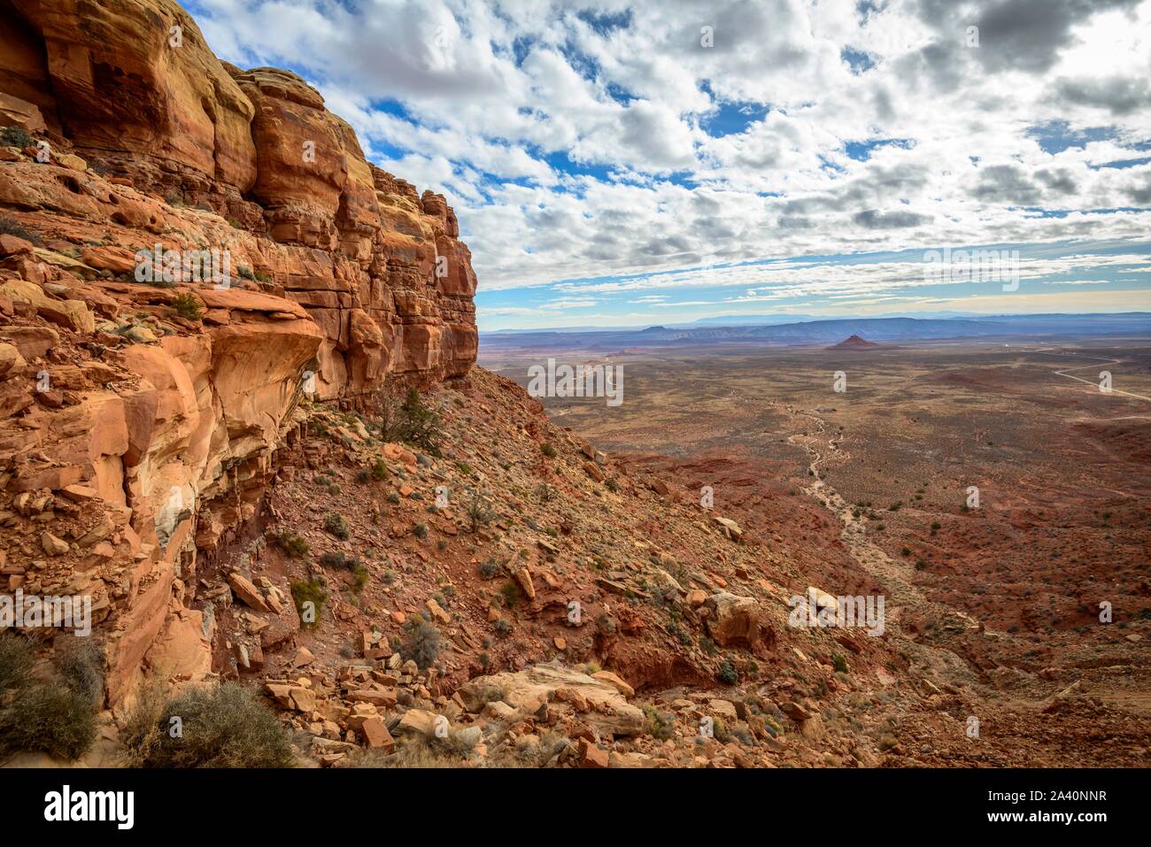 Cedar Mesa at Moki Dugway, view of the Valley of the Gods, Bears Ears National Monument, Utah State Route 261, Utah, USA Stock Photohttps://www.alamy.com/image-license-details/?v=1https://www.alamy.com/cedar-mesa-at-moki-dugway-view-of-the-valley-of-the-gods-bears-ears-national-monument-utah-state-route-261-utah-usa-image329472691.html
RF2A40NNR–Cedar Mesa at Moki Dugway, view of the Valley of the Gods, Bears Ears National Monument, Utah State Route 261, Utah, USA
 The Mokee / Moki Dugway winding up the side of an escarpment in Utah Stock Photohttps://www.alamy.com/image-license-details/?v=1https://www.alamy.com/the-mokee-moki-dugway-winding-up-the-side-of-an-escarpment-in-utah-image346826563.html
RM2B478PY–The Mokee / Moki Dugway winding up the side of an escarpment in Utah
 Moki Dugway near Mexican Hat, San Juan County, Utah, USA Stock Photohttps://www.alamy.com/image-license-details/?v=1https://www.alamy.com/moki-dugway-near-mexican-hat-san-juan-county-utah-usa-image462591950.html
RF2HTGTN2–Moki Dugway near Mexican Hat, San Juan County, Utah, USA
 Moki Dugway (or Mokee Dugway) switchback road, climbing Cedar Mesa, near Mexican Hat, San Juan County, Utah, USA Stock Photohttps://www.alamy.com/image-license-details/?v=1https://www.alamy.com/stock-photo-moki-dugway-or-mokee-dugway-switchback-road-climbing-cedar-mesa-near-72593516.html
RME62WNG–Moki Dugway (or Mokee Dugway) switchback road, climbing Cedar Mesa, near Mexican Hat, San Juan County, Utah, USA
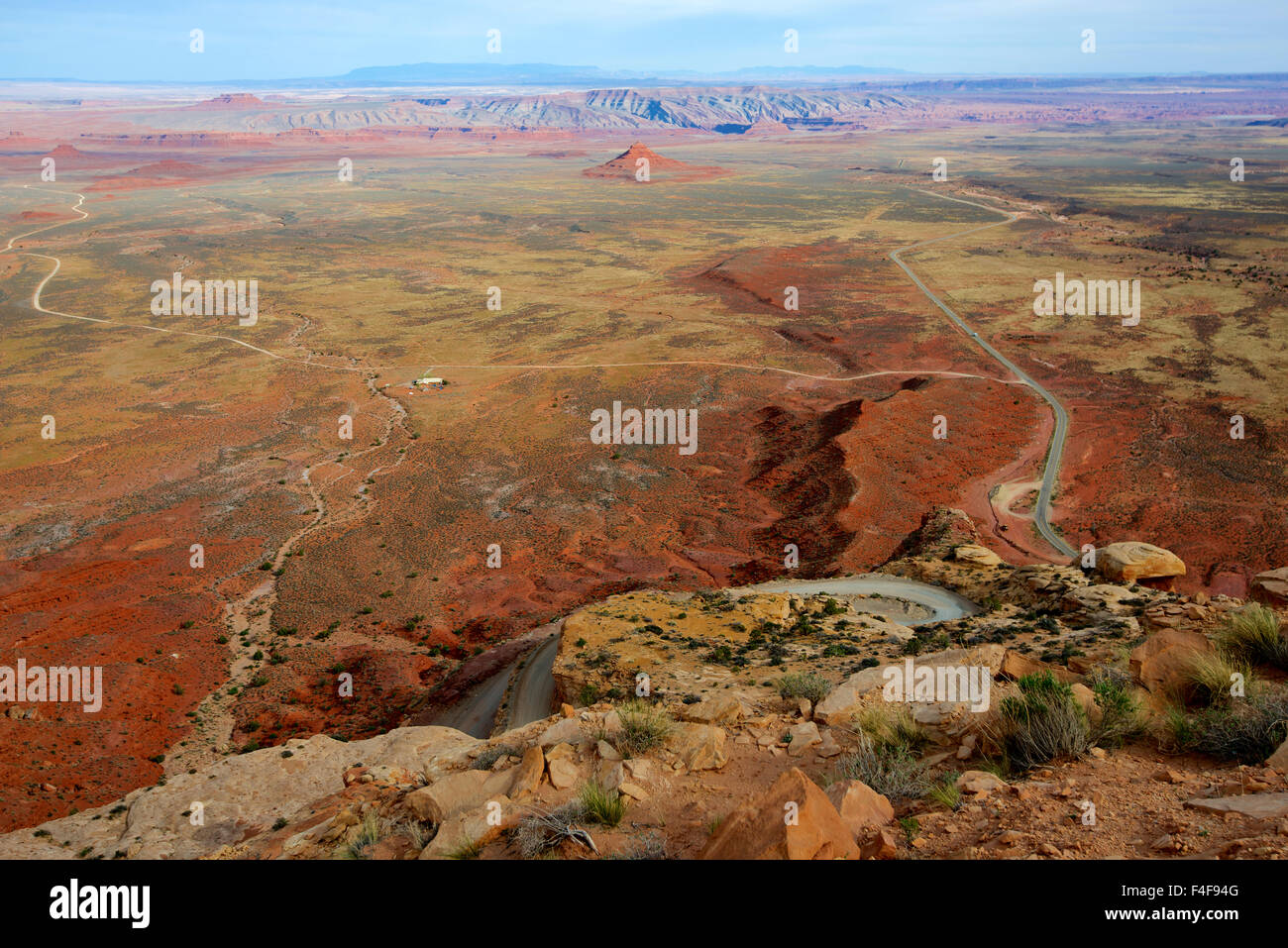 Route 261, the Moki Dugway steeply drops 1200 feet in 3 miles of gravel road, dropping off Cedar Mesa to the San Juan River valley. (Large format sizes available) Stock Photohttps://www.alamy.com/image-license-details/?v=1https://www.alamy.com/stock-photo-route-261-the-moki-dugway-steeply-drops-1200-feet-in-3-miles-of-gravel-88846928.html
RMF4F94G–Route 261, the Moki Dugway steeply drops 1200 feet in 3 miles of gravel road, dropping off Cedar Mesa to the San Juan River valley. (Large format sizes available)
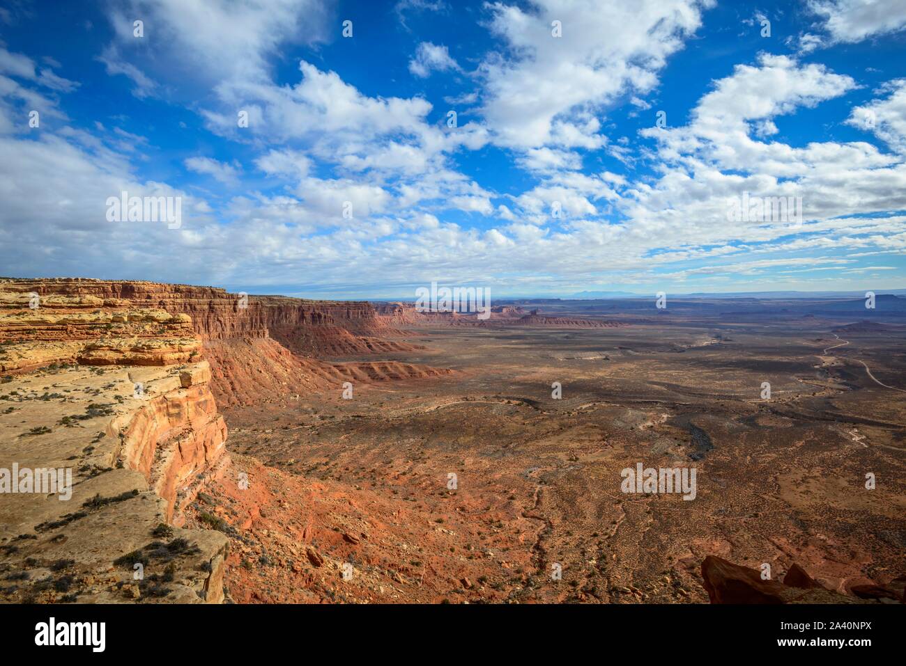 Cedar Mesa at Moki Dugway, view of the Valley of the Gods, Bears Ears National Monument, Utah State Route 261, Utah, USA Stock Photohttps://www.alamy.com/image-license-details/?v=1https://www.alamy.com/cedar-mesa-at-moki-dugway-view-of-the-valley-of-the-gods-bears-ears-national-monument-utah-state-route-261-utah-usa-image329472722.html
RF2A40NPX–Cedar Mesa at Moki Dugway, view of the Valley of the Gods, Bears Ears National Monument, Utah State Route 261, Utah, USA
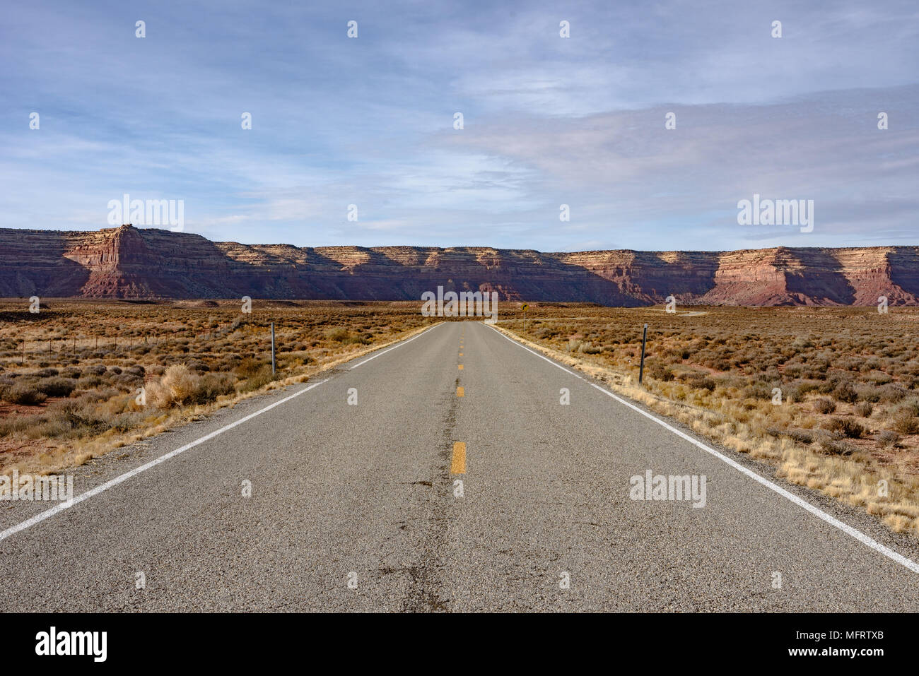 The road leading to the Mokee / Moki Dugway and the Cedar Mesa in Utah Stock Photohttps://www.alamy.com/image-license-details/?v=1https://www.alamy.com/the-road-leading-to-the-mokee-moki-dugway-and-the-cedar-mesa-in-utah-image181847971.html
RMMFRTXB–The road leading to the Mokee / Moki Dugway and the Cedar Mesa in Utah
 Moki Dugway near Mexican Hat, San Juan County, Utah, USA Stock Photohttps://www.alamy.com/image-license-details/?v=1https://www.alamy.com/moki-dugway-near-mexican-hat-san-juan-county-utah-usa-image462591953.html
RF2HTGTN5–Moki Dugway near Mexican Hat, San Juan County, Utah, USA
 Motorcycle touring group on Moki Dugway (or Mokee Dugway) switchback road, climbing Cedar Mesa, San Juan County, Utah, USA Stock Photohttps://www.alamy.com/image-license-details/?v=1https://www.alamy.com/stock-photo-motorcycle-touring-group-on-moki-dugway-or-mokee-dugway-switchback-72593528.html
RME62WP0–Motorcycle touring group on Moki Dugway (or Mokee Dugway) switchback road, climbing Cedar Mesa, San Juan County, Utah, USA
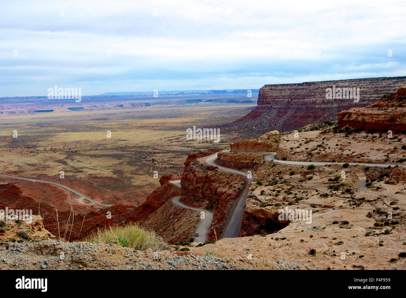 Route 261, the Moki Dugway steeply drops 1200 feet in 3 miles of gravel road, dropping off to the San Juan River valley. A few pullouts offer stunning views over the desert basin and the Valley of the Gods. Stock Photohttps://www.alamy.com/image-license-details/?v=1https://www.alamy.com/stock-photo-route-261-the-moki-dugway-steeply-drops-1200-feet-in-3-miles-of-gravel-88846949.html
RMF4F959–Route 261, the Moki Dugway steeply drops 1200 feet in 3 miles of gravel road, dropping off to the San Juan River valley. A few pullouts offer stunning views over the desert basin and the Valley of the Gods.
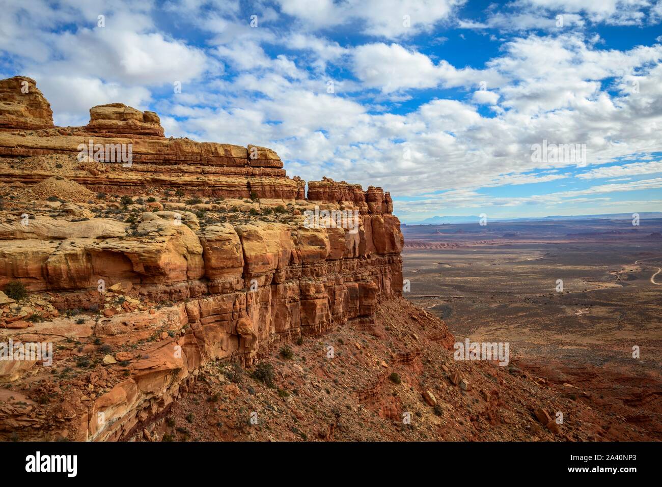 Cedar Mesa at Moki Dugway, view of the Valley of the Gods, Bears Ears National Monument, Utah State Route 261, Utah, USA Stock Photohttps://www.alamy.com/image-license-details/?v=1https://www.alamy.com/cedar-mesa-at-moki-dugway-view-of-the-valley-of-the-gods-bears-ears-national-monument-utah-state-route-261-utah-usa-image329472699.html
RF2A40NP3–Cedar Mesa at Moki Dugway, view of the Valley of the Gods, Bears Ears National Monument, Utah State Route 261, Utah, USA
 The road leading from the Moki / Mokee Dugway back to US Route 163 Stock Photohttps://www.alamy.com/image-license-details/?v=1https://www.alamy.com/the-road-leading-from-the-moki-mokee-dugway-back-to-us-route-163-image181847998.html
RMMFRTYA–The road leading from the Moki / Mokee Dugway back to US Route 163
 Moki Dugway near Mexican Hat, San Juan County, Utah, USA Stock Photohttps://www.alamy.com/image-license-details/?v=1https://www.alamy.com/moki-dugway-near-mexican-hat-san-juan-county-utah-usa-image462591942.html
RF2HTGTMP–Moki Dugway near Mexican Hat, San Juan County, Utah, USA
 View from Moki Dugway (or Mokee Dugway) switchback road, climbing Cedar Mesa, near Mexican Hat, San Juan County, Utah, USA Stock Photohttps://www.alamy.com/image-license-details/?v=1https://www.alamy.com/stock-photo-view-from-moki-dugway-or-mokee-dugway-switchback-road-climbing-cedar-72593526.html
RME62WNX–View from Moki Dugway (or Mokee Dugway) switchback road, climbing Cedar Mesa, near Mexican Hat, San Juan County, Utah, USA
 Eroded Table Mountains, View of the Valley of the Gods, Moki Dugway, Bears Ears National Monument, Utah State Route 261, Utah, USA Stock Photohttps://www.alamy.com/image-license-details/?v=1https://www.alamy.com/eroded-table-mountains-view-of-the-valley-of-the-gods-moki-dugway-bears-ears-national-monument-utah-state-route-261-utah-usa-image329472706.html
RF2A40NPA–Eroded Table Mountains, View of the Valley of the Gods, Moki Dugway, Bears Ears National Monument, Utah State Route 261, Utah, USA
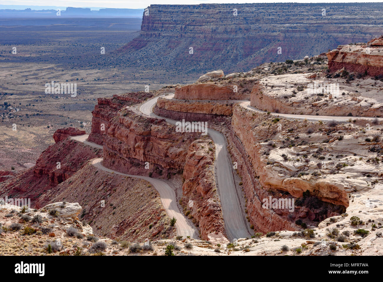 The Mokee / Moki Dugway winds up the side of an escarpment in Utah Stock Photohttps://www.alamy.com/image-license-details/?v=1https://www.alamy.com/the-mokee-moki-dugway-winds-up-the-side-of-an-escarpment-in-utah-image181847942.html
RMMFRTWA–The Mokee / Moki Dugway winds up the side of an escarpment in Utah
 Moki Dugway near Mexican Hat, San Juan County, Utah, USA Stock Photohttps://www.alamy.com/image-license-details/?v=1https://www.alamy.com/moki-dugway-near-mexican-hat-san-juan-county-utah-usa-image462591941.html
RF2HTGTMN–Moki Dugway near Mexican Hat, San Juan County, Utah, USA
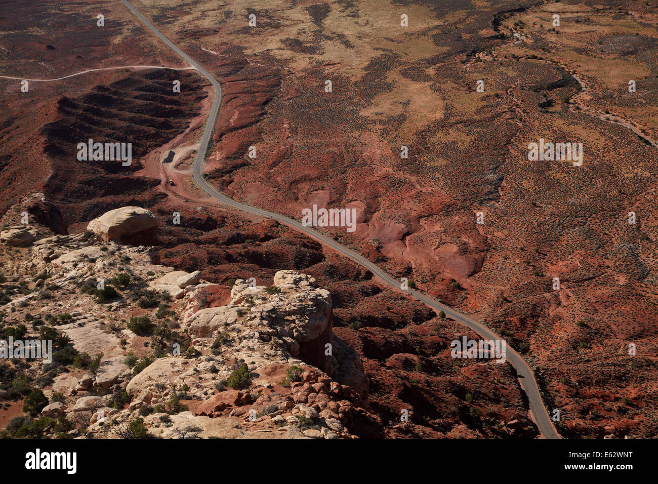 View from Moki Dugway (or Mokee Dugway) switchback road, climbing Cedar Mesa, near Mexican Hat, San Juan County, Utah, USA Stock Photohttps://www.alamy.com/image-license-details/?v=1https://www.alamy.com/stock-photo-view-from-moki-dugway-or-mokee-dugway-switchback-road-climbing-cedar-72593524.html
RME62WNT–View from Moki Dugway (or Mokee Dugway) switchback road, climbing Cedar Mesa, near Mexican Hat, San Juan County, Utah, USA
 Cedar Mesa at Moki Dugway, eroded Table Mountains, view to the Valley of the Gods, Bears Ears National Monument, Utah State Route 261, Utah, USA Stock Photohttps://www.alamy.com/image-license-details/?v=1https://www.alamy.com/cedar-mesa-at-moki-dugway-eroded-table-mountains-view-to-the-valley-of-the-gods-bears-ears-national-monument-utah-state-route-261-utah-usa-image329472688.html
RF2A40NNM–Cedar Mesa at Moki Dugway, eroded Table Mountains, view to the Valley of the Gods, Bears Ears National Monument, Utah State Route 261, Utah, USA
 The Mokee / Moki Dugway winds up the side of an escarpment in Utah Stock Photohttps://www.alamy.com/image-license-details/?v=1https://www.alamy.com/the-mokee-moki-dugway-winds-up-the-side-of-an-escarpment-in-utah-image181847856.html
RMMFRTP8–The Mokee / Moki Dugway winds up the side of an escarpment in Utah
 Moki Dugway near Mexican Hat, San Juan County, Utah, USA Stock Photohttps://www.alamy.com/image-license-details/?v=1https://www.alamy.com/moki-dugway-near-mexican-hat-san-juan-county-utah-usa-image462591948.html
RF2HTGTN0–Moki Dugway near Mexican Hat, San Juan County, Utah, USA
 RV and view from Moki Dugway (or Mokee Dugway) switchback road, climbing Cedar Mesa, near Mexican Hat, San Juan County, Utah, US Stock Photohttps://www.alamy.com/image-license-details/?v=1https://www.alamy.com/stock-photo-rv-and-view-from-moki-dugway-or-mokee-dugway-switchback-road-climbing-72593531.html
RME62WP3–RV and view from Moki Dugway (or Mokee Dugway) switchback road, climbing Cedar Mesa, near Mexican Hat, San Juan County, Utah, US
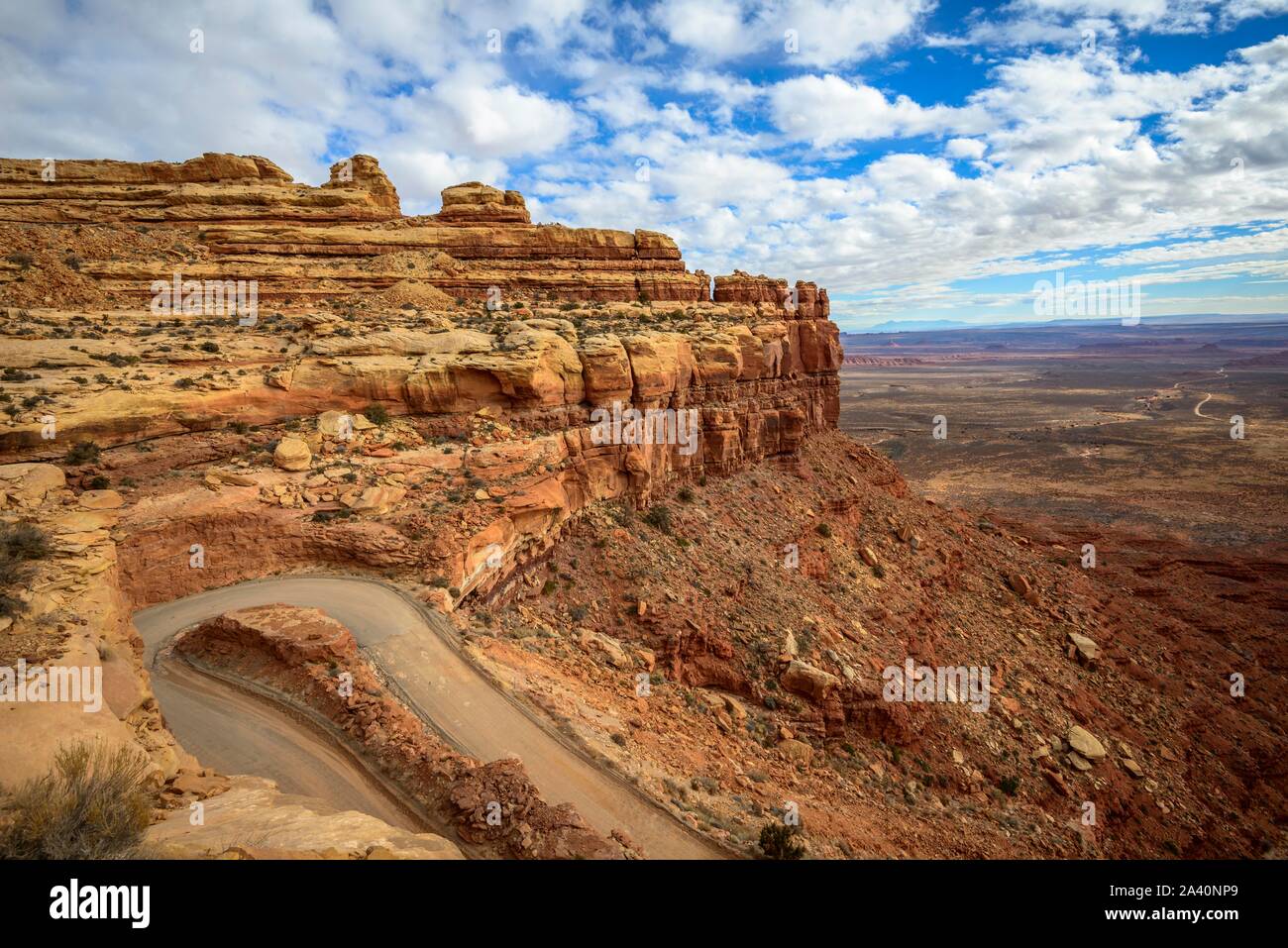 Moki Dugway leads in serpentines through the steep face of the Cedar Mesa, view of the Valley of the Gods, Bears Ears National Monument, Utah State Stock Photohttps://www.alamy.com/image-license-details/?v=1https://www.alamy.com/moki-dugway-leads-in-serpentines-through-the-steep-face-of-the-cedar-mesa-view-of-the-valley-of-the-gods-bears-ears-national-monument-utah-state-image329472705.html
RF2A40NP9–Moki Dugway leads in serpentines through the steep face of the Cedar Mesa, view of the Valley of the Gods, Bears Ears National Monument, Utah State
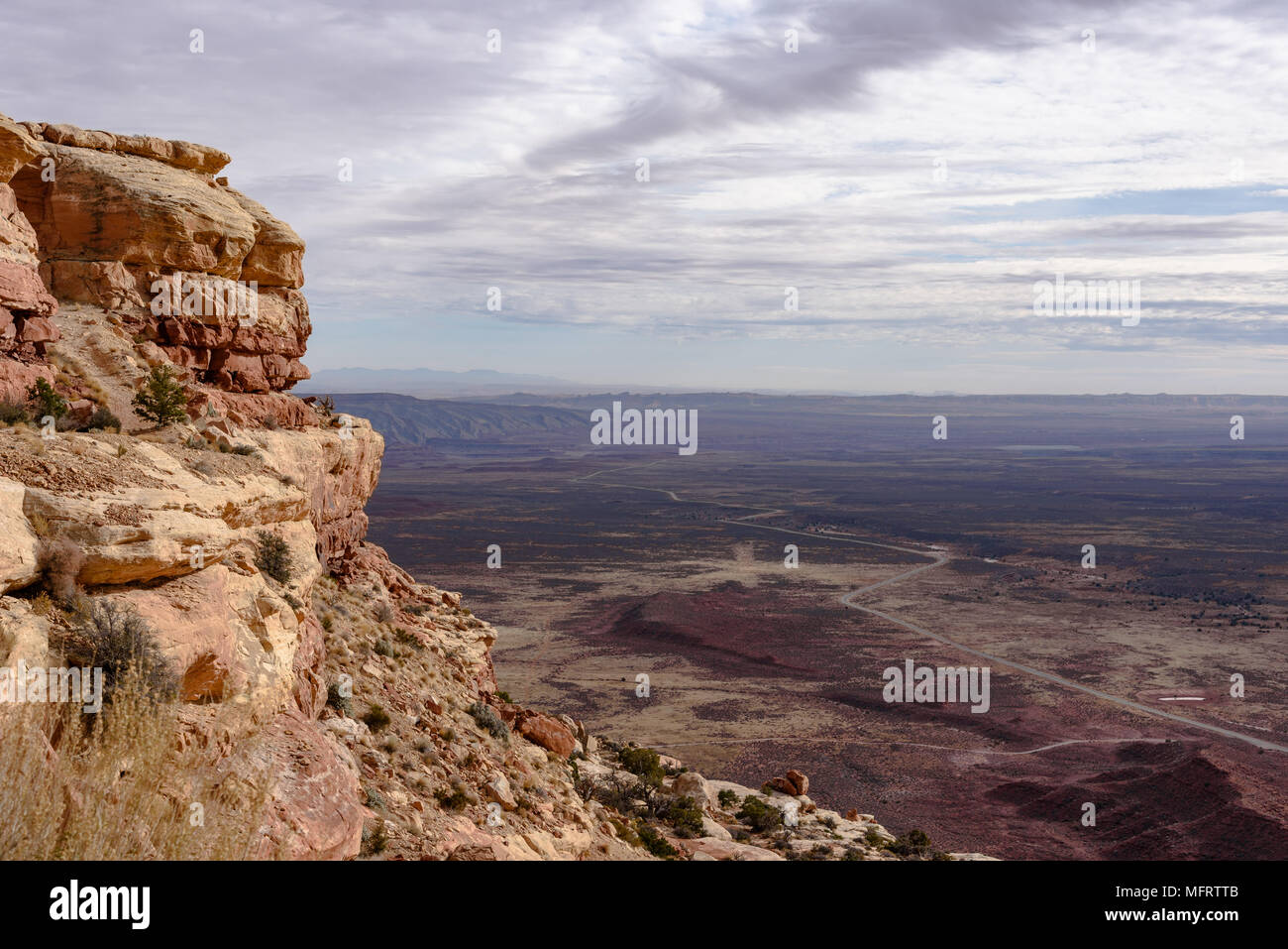 The view from the Mokee / Moki Dugway onto the valley below Stock Photohttps://www.alamy.com/image-license-details/?v=1https://www.alamy.com/the-view-from-the-mokee-moki-dugway-onto-the-valley-below-image181847915.html
RMMFRTTB–The view from the Mokee / Moki Dugway onto the valley below
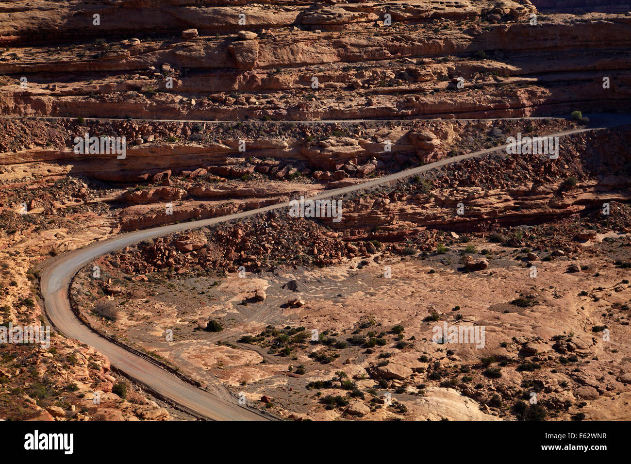 Moki Dugway (or Mokee Dugway) switchback road, climbing Cedar Mesa, near Mexican Hat, San Juan County, Utah, USA Stock Photohttps://www.alamy.com/image-license-details/?v=1https://www.alamy.com/stock-photo-moki-dugway-or-mokee-dugway-switchback-road-climbing-cedar-mesa-near-72593523.html
RME62WNR–Moki Dugway (or Mokee Dugway) switchback road, climbing Cedar Mesa, near Mexican Hat, San Juan County, Utah, USA
 Moki Dugway leads in serpentines through the steep face of the Cedar Mesa, view of the Valley of the Gods, Bears Ears National Monument, Utah State Stock Photohttps://www.alamy.com/image-license-details/?v=1https://www.alamy.com/moki-dugway-leads-in-serpentines-through-the-steep-face-of-the-cedar-mesa-view-of-the-valley-of-the-gods-bears-ears-national-monument-utah-state-image329472679.html
RF2A40NNB–Moki Dugway leads in serpentines through the steep face of the Cedar Mesa, view of the Valley of the Gods, Bears Ears National Monument, Utah State
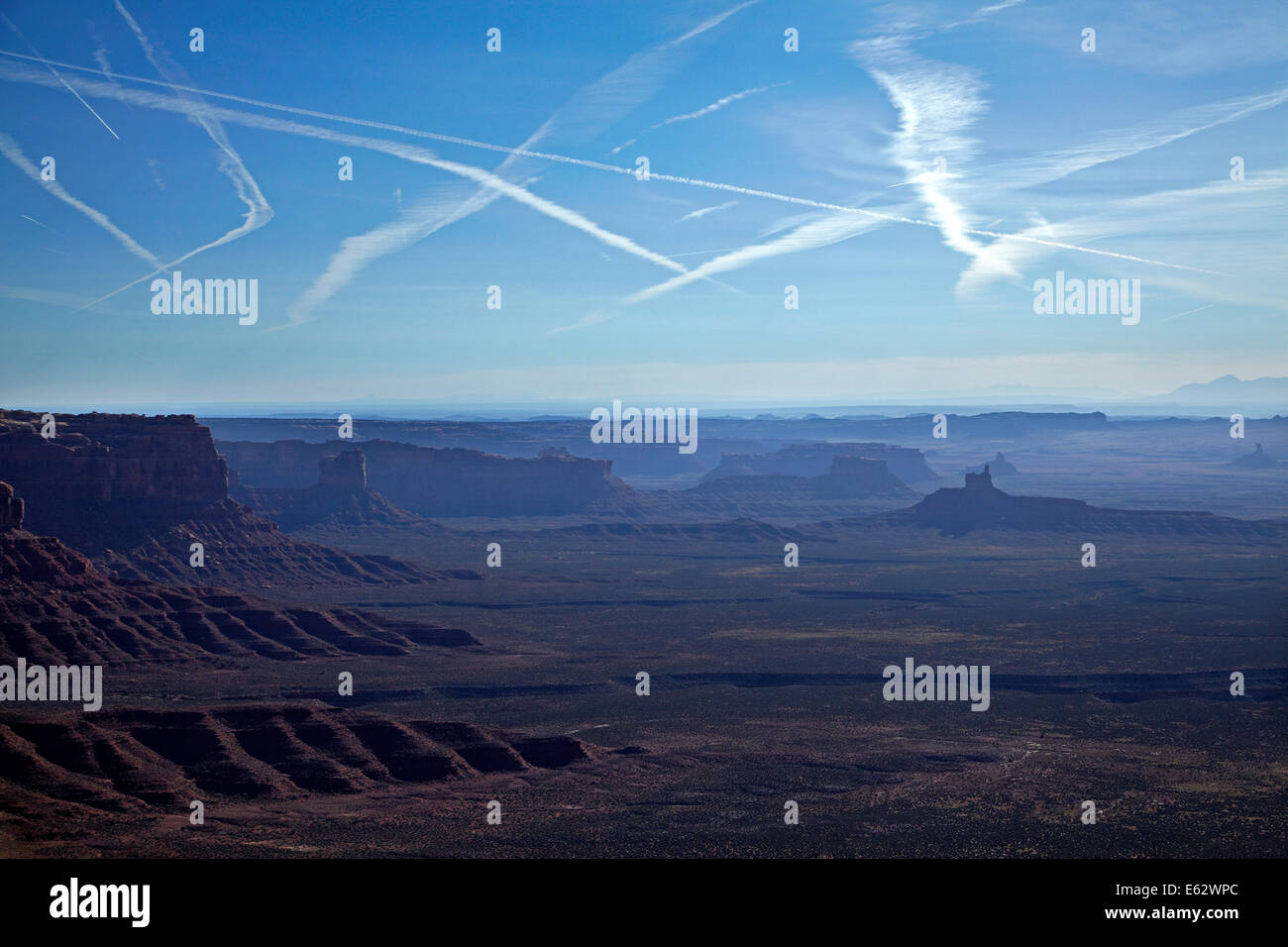 View from Moki Dugway (or Mokee Dugway) switchback road, Cedar Mesa, and jet contrails in sky, near Mexican Hat, San Juan County Stock Photohttps://www.alamy.com/image-license-details/?v=1https://www.alamy.com/stock-photo-view-from-moki-dugway-or-mokee-dugway-switchback-road-cedar-mesa-and-72593540.html
RME62WPC–View from Moki Dugway (or Mokee Dugway) switchback road, Cedar Mesa, and jet contrails in sky, near Mexican Hat, San Juan County
 Moki Dugway leads in serpentines through the steep face of the Cedar Mesa, view of the Valley of the Gods, Bears Ears National Monument, Utah State Stock Photohttps://www.alamy.com/image-license-details/?v=1https://www.alamy.com/moki-dugway-leads-in-serpentines-through-the-steep-face-of-the-cedar-mesa-view-of-the-valley-of-the-gods-bears-ears-national-monument-utah-state-image329472686.html
RF2A40NNJ–Moki Dugway leads in serpentines through the steep face of the Cedar Mesa, view of the Valley of the Gods, Bears Ears National Monument, Utah State
 Moki Dugway leads in serpentines through the steep face of the Cedar Mesa, view of the Valley of the Gods, Bears Ears National Monument, Utah State Stock Photohttps://www.alamy.com/image-license-details/?v=1https://www.alamy.com/moki-dugway-leads-in-serpentines-through-the-steep-face-of-the-cedar-mesa-view-of-the-valley-of-the-gods-bears-ears-national-monument-utah-state-image329472702.html
RF2A40NP6–Moki Dugway leads in serpentines through the steep face of the Cedar Mesa, view of the Valley of the Gods, Bears Ears National Monument, Utah State
 Moki Dugway leads in serpentines through the steep face of the Cedar Mesa, view of the Valley of the Gods, Bears Ears National Monument, Utah State Stock Photohttps://www.alamy.com/image-license-details/?v=1https://www.alamy.com/moki-dugway-leads-in-serpentines-through-the-steep-face-of-the-cedar-mesa-view-of-the-valley-of-the-gods-bears-ears-national-monument-utah-state-image329472700.html
RF2A40NP4–Moki Dugway leads in serpentines through the steep face of the Cedar Mesa, view of the Valley of the Gods, Bears Ears National Monument, Utah State
 Panorama, edge of the Cedar Mesa at the Moki Dugway, eroded table mountains, view of the Valley of the Gods, Bears Ears National Monument, Utah State Stock Photohttps://www.alamy.com/image-license-details/?v=1https://www.alamy.com/panorama-edge-of-the-cedar-mesa-at-the-moki-dugway-eroded-table-mountains-view-of-the-valley-of-the-gods-bears-ears-national-monument-utah-state-image329472718.html
RF2A40NPP–Panorama, edge of the Cedar Mesa at the Moki Dugway, eroded table mountains, view of the Valley of the Gods, Bears Ears National Monument, Utah State
 Photographer, tourist at the edge of the Cedar Mesa at Moki Dugway, view of the Valley of the Gods, Bears Ears National Monument, Utah State Route Stock Photohttps://www.alamy.com/image-license-details/?v=1https://www.alamy.com/photographer-tourist-at-the-edge-of-the-cedar-mesa-at-moki-dugway-view-of-the-valley-of-the-gods-bears-ears-national-monument-utah-state-route-image368670443.html
RF2CBPAWF–Photographer, tourist at the edge of the Cedar Mesa at Moki Dugway, view of the Valley of the Gods, Bears Ears National Monument, Utah State Route
 Photographer, tourist at the Moki Dugway, serpentines through steep face of the Cedar Mesa, view of the Valley of the Gods, Bears Ears National Stock Photohttps://www.alamy.com/image-license-details/?v=1https://www.alamy.com/photographer-tourist-at-the-moki-dugway-serpentines-through-steep-face-of-the-cedar-mesa-view-of-the-valley-of-the-gods-bears-ears-national-image368670439.html
RF2CBPAWB–Photographer, tourist at the Moki Dugway, serpentines through steep face of the Cedar Mesa, view of the Valley of the Gods, Bears Ears National
 Moki Dugway leads in serpentines through the steep face of the Cedar Mesa, view of the Valley of the Gods, Bears Ears National Monument, Utah State Stock Photohttps://www.alamy.com/image-license-details/?v=1https://www.alamy.com/moki-dugway-leads-in-serpentines-through-the-steep-face-of-the-cedar-mesa-view-of-the-valley-of-the-gods-bears-ears-national-monument-utah-state-image368670440.html
RF2CBPAWC–Moki Dugway leads in serpentines through the steep face of the Cedar Mesa, view of the Valley of the Gods, Bears Ears National Monument, Utah State
 Photographer, tourist at the Moki Dugway, serpentines through steep face of the Cedar Mesa, view of the Valley of the Gods, Bears Ears National Stock Photohttps://www.alamy.com/image-license-details/?v=1https://www.alamy.com/photographer-tourist-at-the-moki-dugway-serpentines-through-steep-face-of-the-cedar-mesa-view-of-the-valley-of-the-gods-bears-ears-national-image368670462.html
RF2CBPAX6–Photographer, tourist at the Moki Dugway, serpentines through steep face of the Cedar Mesa, view of the Valley of the Gods, Bears Ears National