Quick filters:
Shire of victoria plains Stock Photos and Images
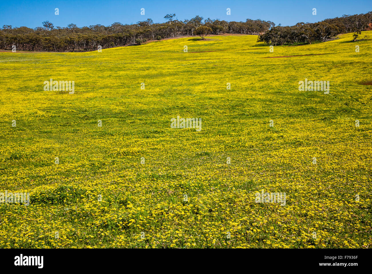 Australia, Western Australia, Wheatbelt Region, Shire of Victoria Plains, carpet of Cape Weed daisies Stock Photohttps://www.alamy.com/image-license-details/?v=1https://www.alamy.com/stock-photo-australia-western-australia-wheatbelt-region-shire-of-victoria-plains-90554535.html
RMF7936F–Australia, Western Australia, Wheatbelt Region, Shire of Victoria Plains, carpet of Cape Weed daisies
 An adult Magpie teaching a juvenile how to find food. Golden Plains Shire. Victoria Stock Photohttps://www.alamy.com/image-license-details/?v=1https://www.alamy.com/an-adult-magpie-teaching-a-juvenile-how-to-find-food-golden-plains-shire-victoria-image337251874.html
RM2AGK45P–An adult Magpie teaching a juvenile how to find food. Golden Plains Shire. Victoria
 St Gertrudes college in Spanish style architecture, New Norcia, Western Australia Stock Photohttps://www.alamy.com/image-license-details/?v=1https://www.alamy.com/st-gertrudes-college-in-spanish-style-architecture-new-norcia-western-australia-image595029659.html
RF2WG1XB7–St Gertrudes college in Spanish style architecture, New Norcia, Western Australia
 Ripening Blueberries at various stages of maturity hanging from the bush. Bannockburn, Golden Plains Shire. Victoria Stock Photohttps://www.alamy.com/image-license-details/?v=1https://www.alamy.com/ripening-blueberries-at-various-stages-of-maturity-hanging-from-the-bush-bannockburn-golden-plains-shire-victoria-image230267089.html
RMRAHG0H–Ripening Blueberries at various stages of maturity hanging from the bush. Bannockburn, Golden Plains Shire. Victoria
 Mount Sugarloaf a dormant volcano the Grampians on the horizon Victoria,Australia,perfect symmetrical cone shape Stock Photohttps://www.alamy.com/image-license-details/?v=1https://www.alamy.com/mount-sugarloaf-a-dormant-volcano-the-grampians-on-the-horizon-victoriaaustraliaperfect-image69007155.html
RFE07F97–Mount Sugarloaf a dormant volcano the Grampians on the horizon Victoria,Australia,perfect symmetrical cone shape
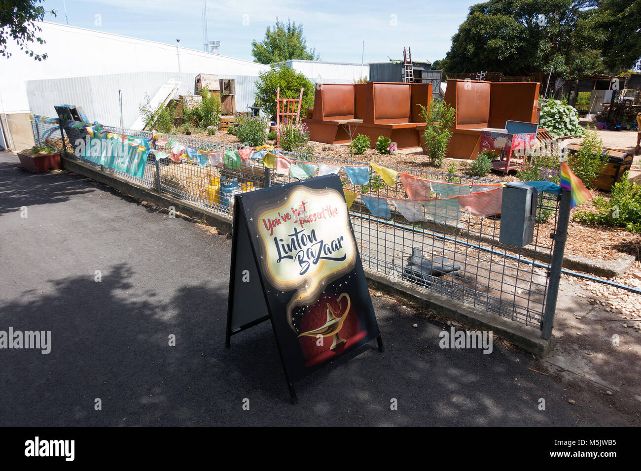 Linton Stock Photohttps://www.alamy.com/image-license-details/?v=1https://www.alamy.com/stock-photo-linton-175592009.html
RMM5JWB5–Linton
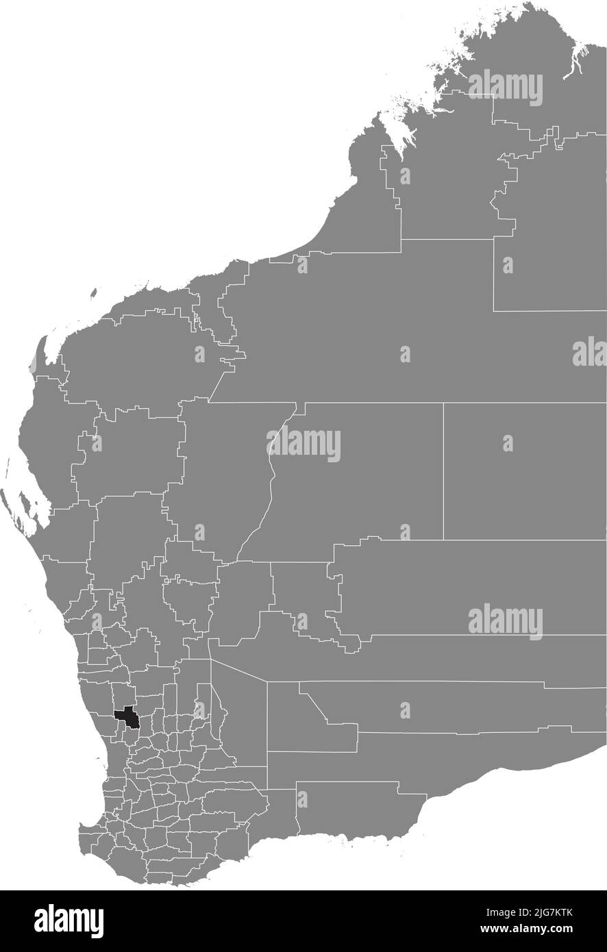 Locator map of the SHIRE OF VICTORIA PLAINS, WESTERN AUSTRALIA Stock Vectorhttps://www.alamy.com/image-license-details/?v=1https://www.alamy.com/locator-map-of-the-shire-of-victoria-plains-western-australia-image474683683.html
RF2JG7KTK–Locator map of the SHIRE OF VICTORIA PLAINS, WESTERN AUSTRALIA
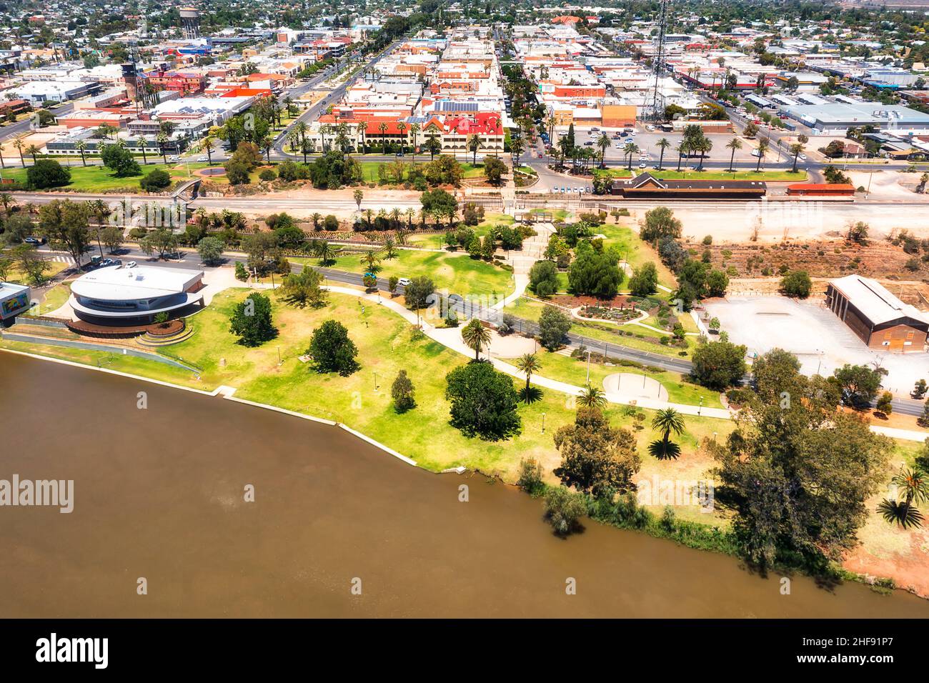 Waterfront of Mildura city on Murray river with train station and downtown - aerial cityscape. Stock Photohttps://www.alamy.com/image-license-details/?v=1https://www.alamy.com/waterfront-of-mildura-city-on-murray-river-with-train-station-and-downtown-aerial-cityscape-image456888383.html
RF2HF91P7–Waterfront of Mildura city on Murray river with train station and downtown - aerial cityscape.
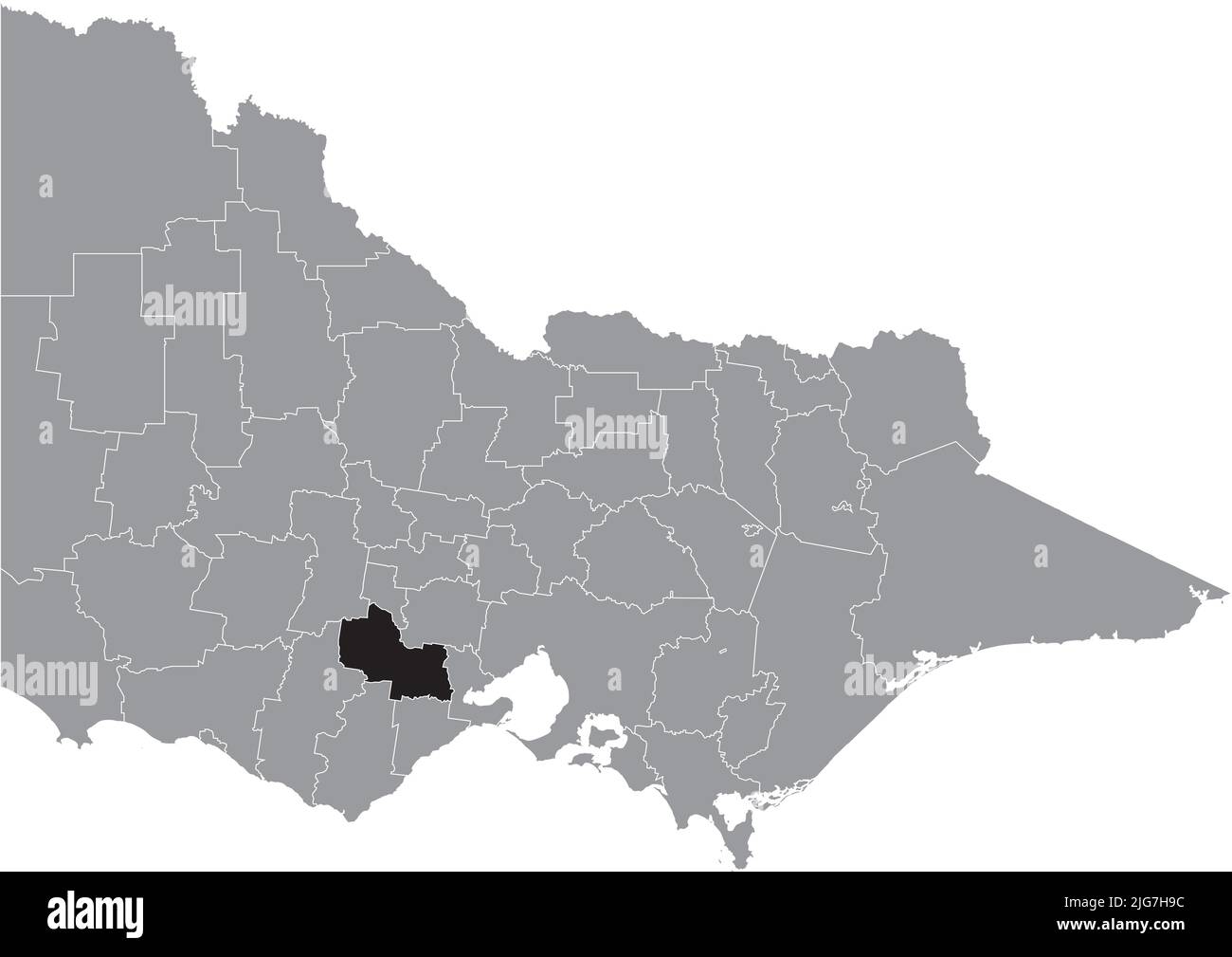 Locator map of the GOLDEN PLAINS SHIRE, VICTORIA Stock Vectorhttps://www.alamy.com/image-license-details/?v=1https://www.alamy.com/locator-map-of-the-golden-plains-shire-victoria-image474681688.html
RF2JG7H9C–Locator map of the GOLDEN PLAINS SHIRE, VICTORIA
 Golden Plains Shire (Commonwealth of Australia, Victoria state, Vic) map vector illustration, scribble sketch Golden Plains Shire Council map Stock Vectorhttps://www.alamy.com/image-license-details/?v=1https://www.alamy.com/golden-plains-shire-commonwealth-of-australia-victoria-state-vic-map-vector-illustration-scribble-sketch-golden-plains-shire-council-map-image569398892.html
RF2T2AA2M–Golden Plains Shire (Commonwealth of Australia, Victoria state, Vic) map vector illustration, scribble sketch Golden Plains Shire Council map
 Hinnomunjie bridge over the Mitta Mitta river along Omeo Valley Road Stock Photohttps://www.alamy.com/image-license-details/?v=1https://www.alamy.com/stock-photo-hinnomunjie-bridge-over-the-mitta-mitta-river-along-omeo-valley-road-113380784.html
RFGGCX9M–Hinnomunjie bridge over the Mitta Mitta river along Omeo Valley Road
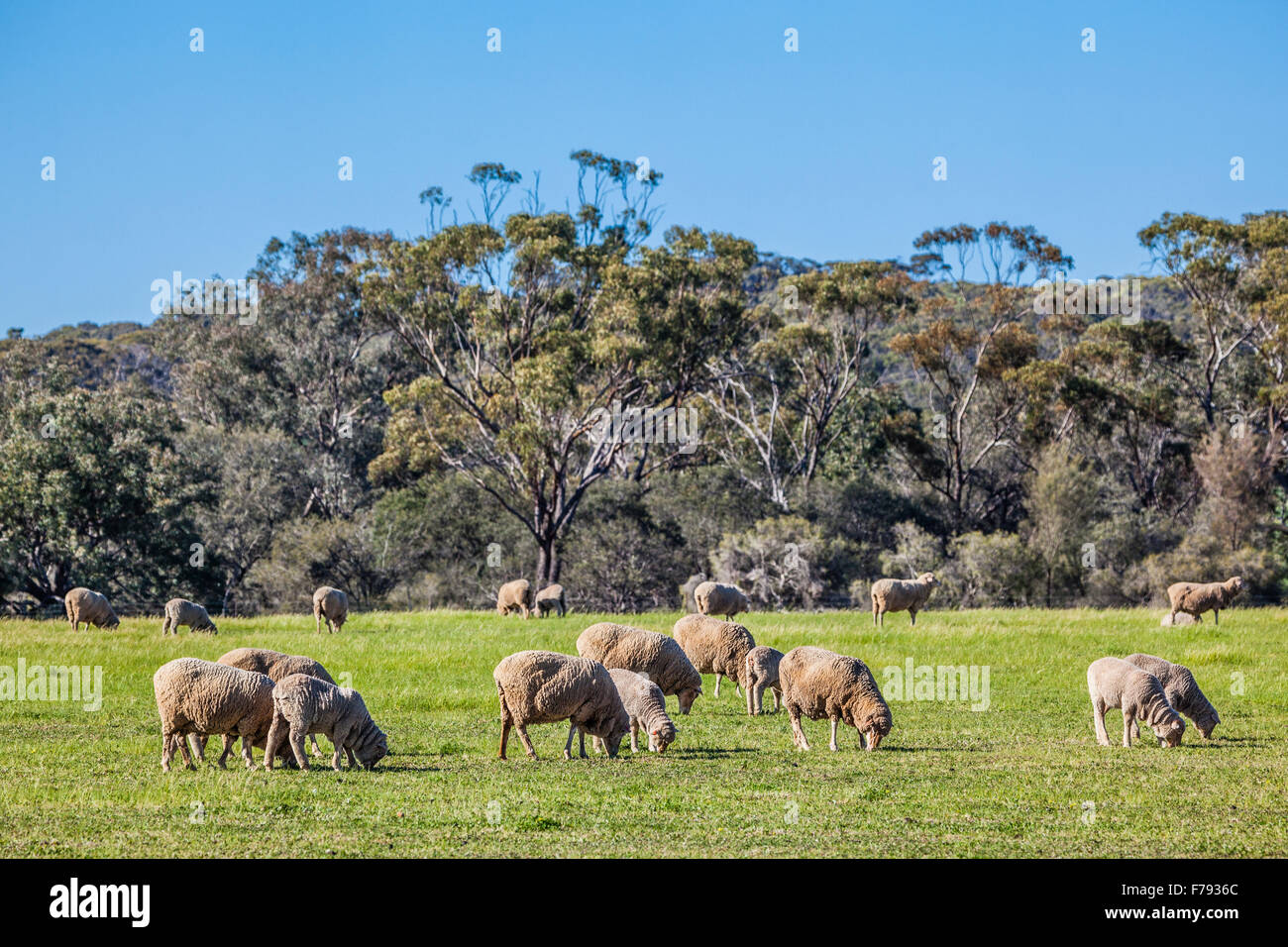 Australia, Western Australia, Wheatbelt Region, Shire of Victoria Plains, flock of Merino sheep at New Norcia Stock Photohttps://www.alamy.com/image-license-details/?v=1https://www.alamy.com/stock-photo-australia-western-australia-wheatbelt-region-shire-of-victoria-plains-90554532.html
RMF7936C–Australia, Western Australia, Wheatbelt Region, Shire of Victoria Plains, flock of Merino sheep at New Norcia
 Linton main Street Stock Photohttps://www.alamy.com/image-license-details/?v=1https://www.alamy.com/stock-photo-linton-main-street-175592012.html
RMM5JWB8–Linton main Street
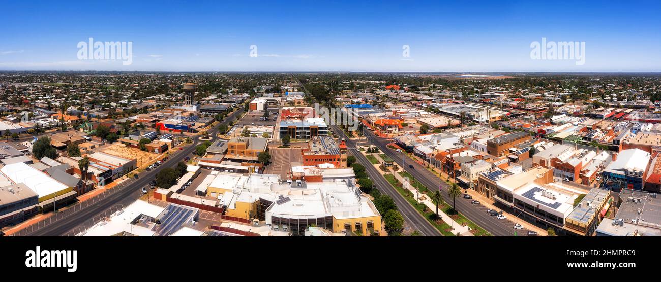 Downtown of Mildura city in Riverina on Murray river - aerial panorama. Stock Photohttps://www.alamy.com/image-license-details/?v=1https://www.alamy.com/downtown-of-mildura-city-in-riverina-on-murray-river-aerial-panorama-image460264009.html
RF2HMPRC9–Downtown of Mildura city in Riverina on Murray river - aerial panorama.
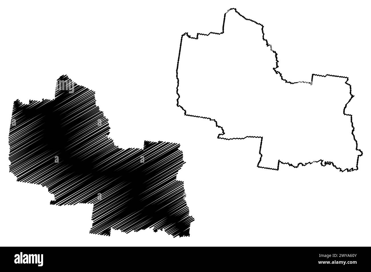 Golden Plains Shire (Commonwealth of Australia, Victoria state, Vic) map vector illustration, scribble sketch Golden Plains Shire Council map Stock Vectorhttps://www.alamy.com/image-license-details/?v=1https://www.alamy.com/golden-plains-shire-commonwealth-of-australia-victoria-state-vic-map-vector-illustration-scribble-sketch-golden-plains-shire-council-map-image601972475.html
RF2WYA60Y–Golden Plains Shire (Commonwealth of Australia, Victoria state, Vic) map vector illustration, scribble sketch Golden Plains Shire Council map
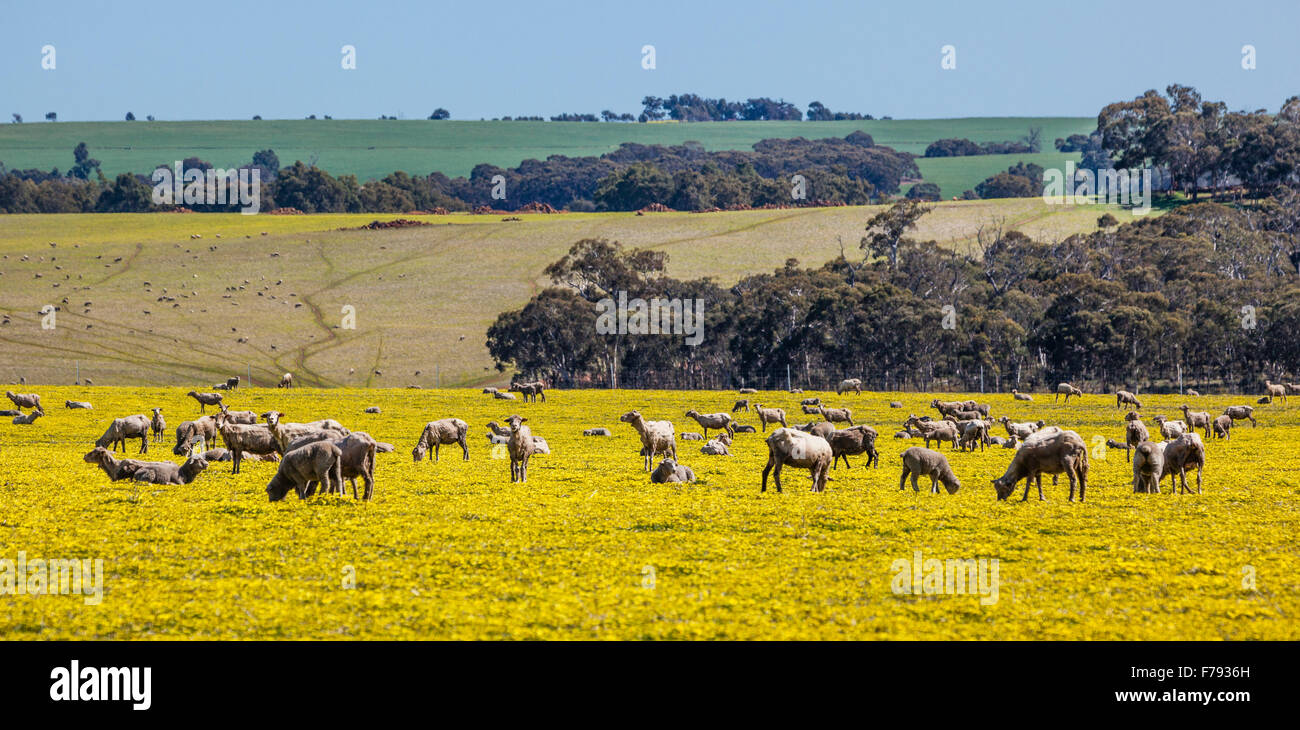 Australia, Western Australia, Wheatbelt Region, Shire of Victoria Plains, Great Northern Hwy, sheep grazing on spring meadow Stock Photohttps://www.alamy.com/image-license-details/?v=1https://www.alamy.com/stock-photo-australia-western-australia-wheatbelt-region-shire-of-victoria-plains-90554537.html
RMF7936H–Australia, Western Australia, Wheatbelt Region, Shire of Victoria Plains, Great Northern Hwy, sheep grazing on spring meadow
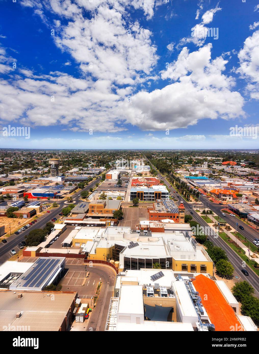 Downtown of Mildura city on Murray river - aerial townscape along Deakin avenue and the town hall. Stock Photohttps://www.alamy.com/image-license-details/?v=1https://www.alamy.com/downtown-of-mildura-city-on-murray-river-aerial-townscape-along-deakin-avenue-and-the-town-hall-image460263974.html
RF2HMPRB2–Downtown of Mildura city on Murray river - aerial townscape along Deakin avenue and the town hall.
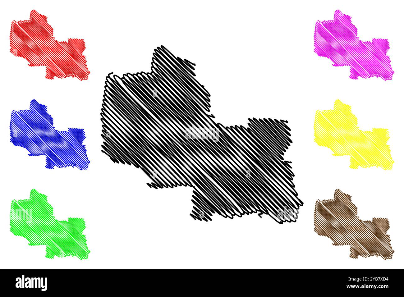 Golden Plains Shire (Commonwealth of Australia, Victoria state, Vic) map vector illustration, scribble sketch Golden Plains Shire Council map Stock Vectorhttps://www.alamy.com/image-license-details/?v=1https://www.alamy.com/golden-plains-shire-commonwealth-of-australia-victoria-state-vic-map-vector-illustration-scribble-sketch-golden-plains-shire-council-map-image626508880.html
RF2YB7XD4–Golden Plains Shire (Commonwealth of Australia, Victoria state, Vic) map vector illustration, scribble sketch Golden Plains Shire Council map
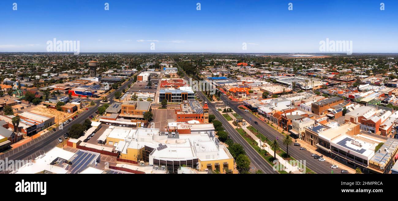 Central avenue in Downtown of Mildura city in Riverina on Murray river - aerial panorama. Stock Photohttps://www.alamy.com/image-license-details/?v=1https://www.alamy.com/central-avenue-in-downtown-of-mildura-city-in-riverina-on-murray-river-aerial-panorama-image460264010.html
RF2HMPRCA–Central avenue in Downtown of Mildura city in Riverina on Murray river - aerial panorama.