Quick filters:
Tenerife map Stock Photos and Images
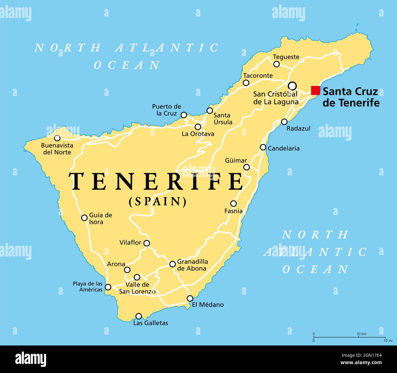 Tenerife island, political map, with capital Santa Cruz de Tenerife. Largest and most populous island of Canary Islands, Spain. Stock Photohttps://www.alamy.com/image-license-details/?v=1https://www.alamy.com/tenerife-island-political-map-with-capital-santa-cruz-de-tenerife-largest-and-most-populous-island-of-canary-islands-spain-image443194812.html
RF2GN17E4–Tenerife island, political map, with capital Santa Cruz de Tenerife. Largest and most populous island of Canary Islands, Spain.
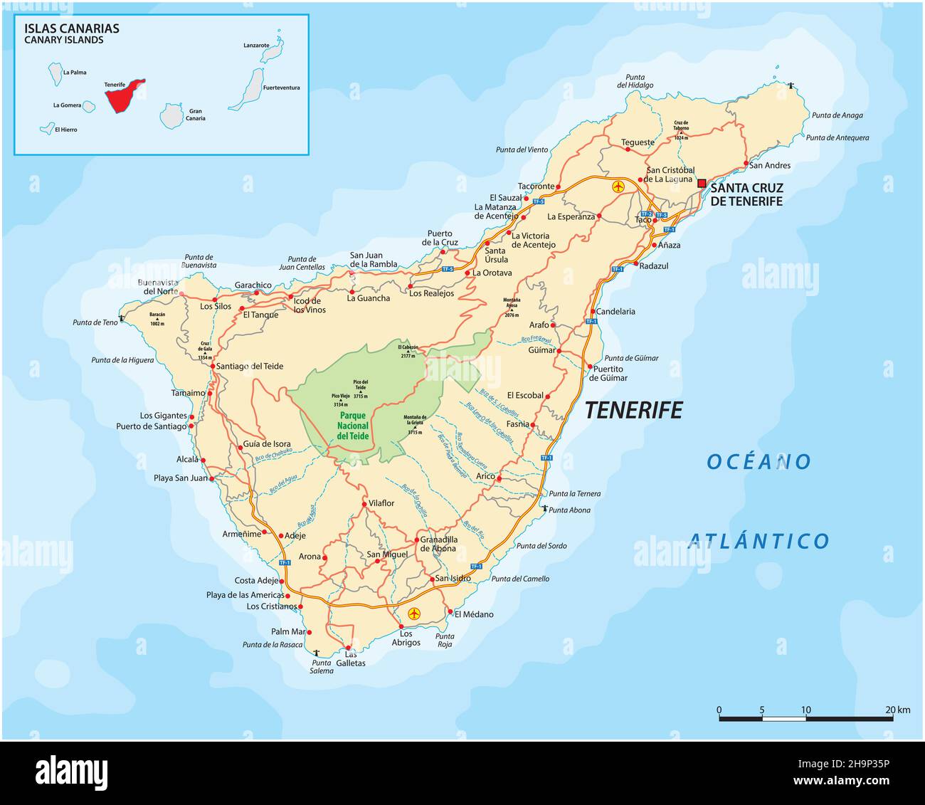 Vector road map of Canary Island Tenerife Stock Vectorhttps://www.alamy.com/image-license-details/?v=1https://www.alamy.com/vector-road-map-of-canary-island-tenerife-image453486930.html
RF2H9P35P–Vector road map of Canary Island Tenerife
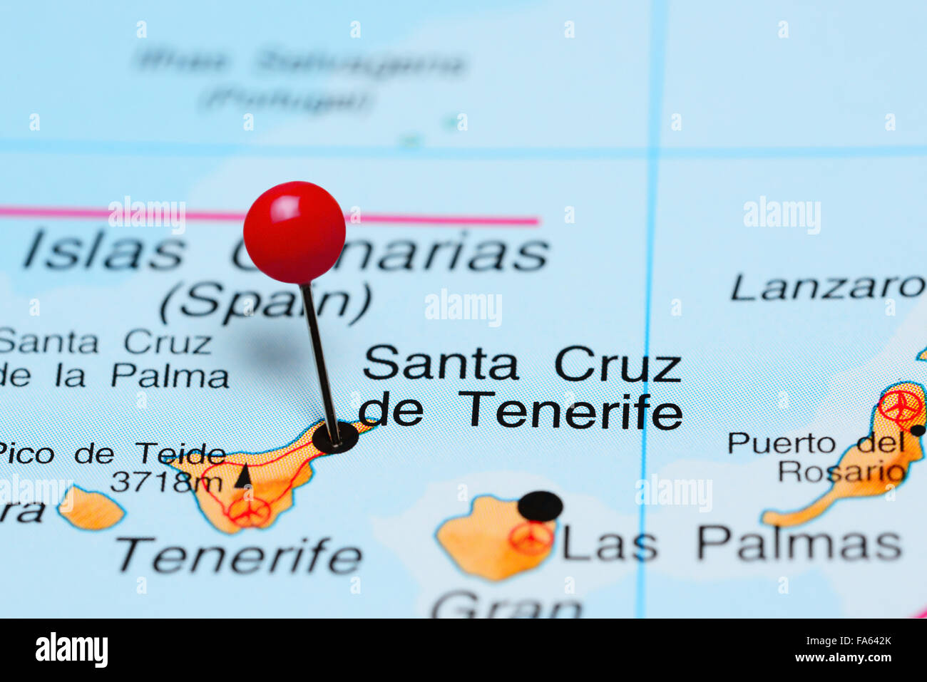 Santa Cruz de Tenerife pinned on a map of Africa Stock Photohttps://www.alamy.com/image-license-details/?v=1https://www.alamy.com/stock-photo-santa-cruz-de-tenerife-pinned-on-a-map-of-africa-92333323.html
RFFA642K–Santa Cruz de Tenerife pinned on a map of Africa
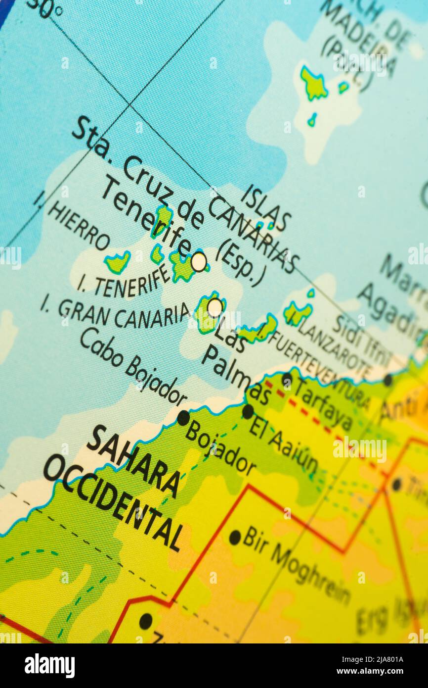 Orographic map of the Canary Islands, Spain and Western Sahara. With references in Spanish. Concept of cartography, travel, geography. Differential ap Stock Photohttps://www.alamy.com/image-license-details/?v=1https://www.alamy.com/orographic-map-of-the-canary-islands-spain-and-western-sahara-with-references-in-spanish-concept-of-cartography-travel-geography-differential-ap-image471002150.html
RF2JA801A–Orographic map of the Canary Islands, Spain and Western Sahara. With references in Spanish. Concept of cartography, travel, geography. Differential ap
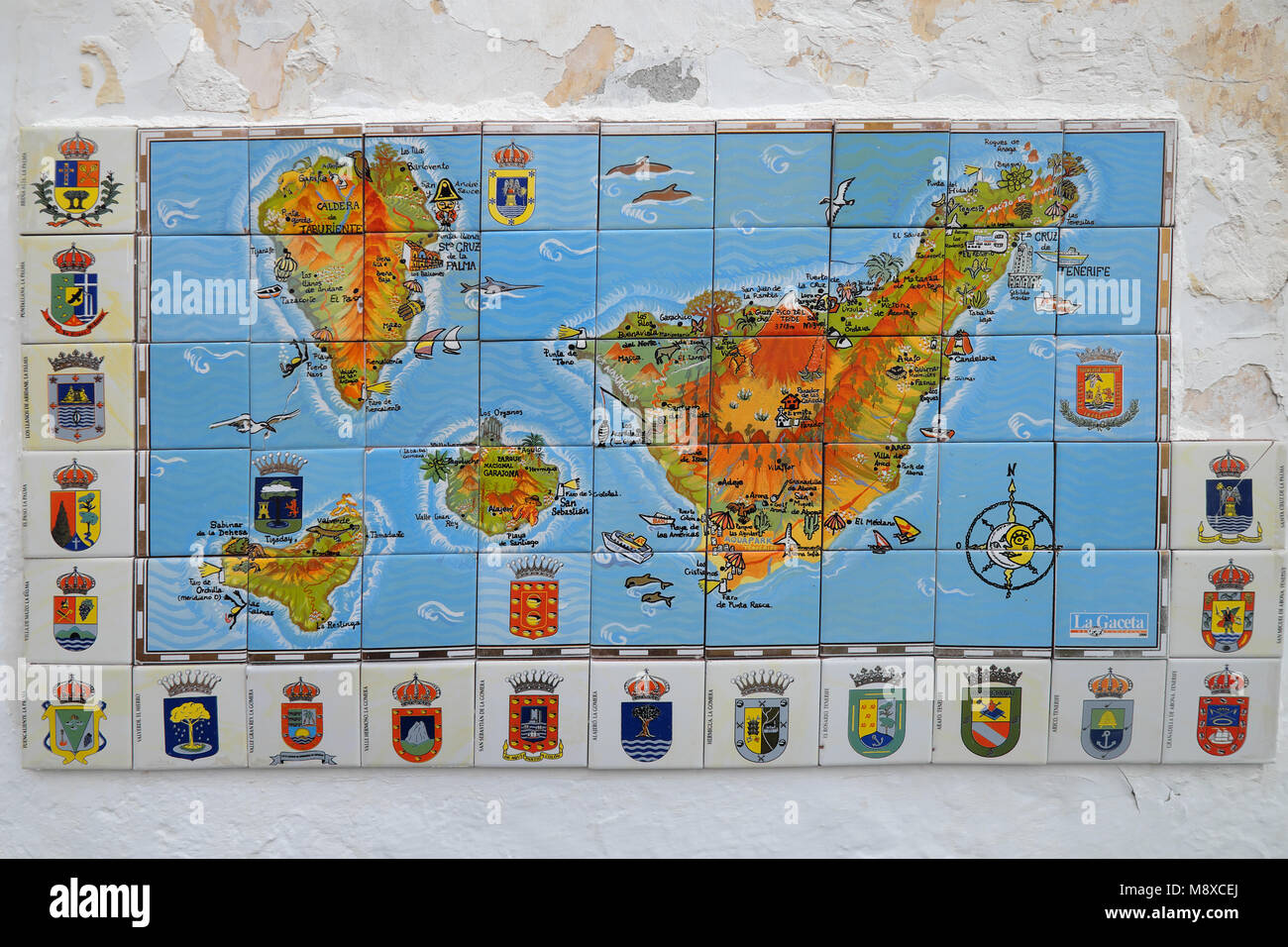 a map tenerife made from tiles in the canary islands of spain Stock Photohttps://www.alamy.com/image-license-details/?v=1https://www.alamy.com/stock-photo-a-map-tenerife-made-from-tiles-in-the-canary-islands-of-spain-177601498.html
RMM8XCEJ–a map tenerife made from tiles in the canary islands of spain
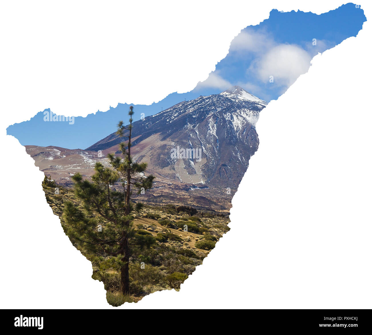 Volcano El Teide Tenerife Map Canary Islands Spain Stock Photohttps://www.alamy.com/image-license-details/?v=1https://www.alamy.com/volcano-el-teide-tenerife-map-canary-islands-spain-image222888614.html
RFPXHCKJ–Volcano El Teide Tenerife Map Canary Islands Spain
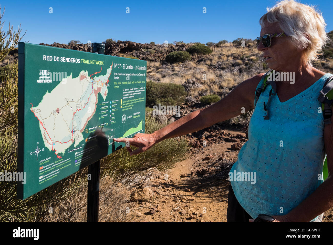 Walking through the volcanic landscape in the Las Canadas del Teide national park on Tenerife, Canary Islands, Spain. Stock Photohttps://www.alamy.com/image-license-details/?v=1https://www.alamy.com/stock-photo-walking-through-the-volcanic-landscape-in-the-las-canadas-del-teide-92701381.html
RMFAPWFH–Walking through the volcanic landscape in the Las Canadas del Teide national park on Tenerife, Canary Islands, Spain.
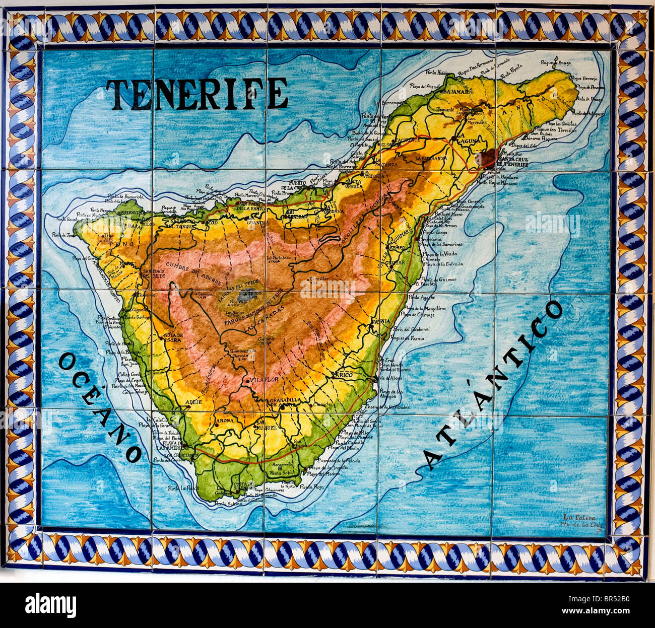 Canary Islands: Tenerife Stock Photohttps://www.alamy.com/image-license-details/?v=1https://www.alamy.com/stock-photo-canary-islands-tenerife-31459092.html
RMBR52B0–Canary Islands: Tenerife
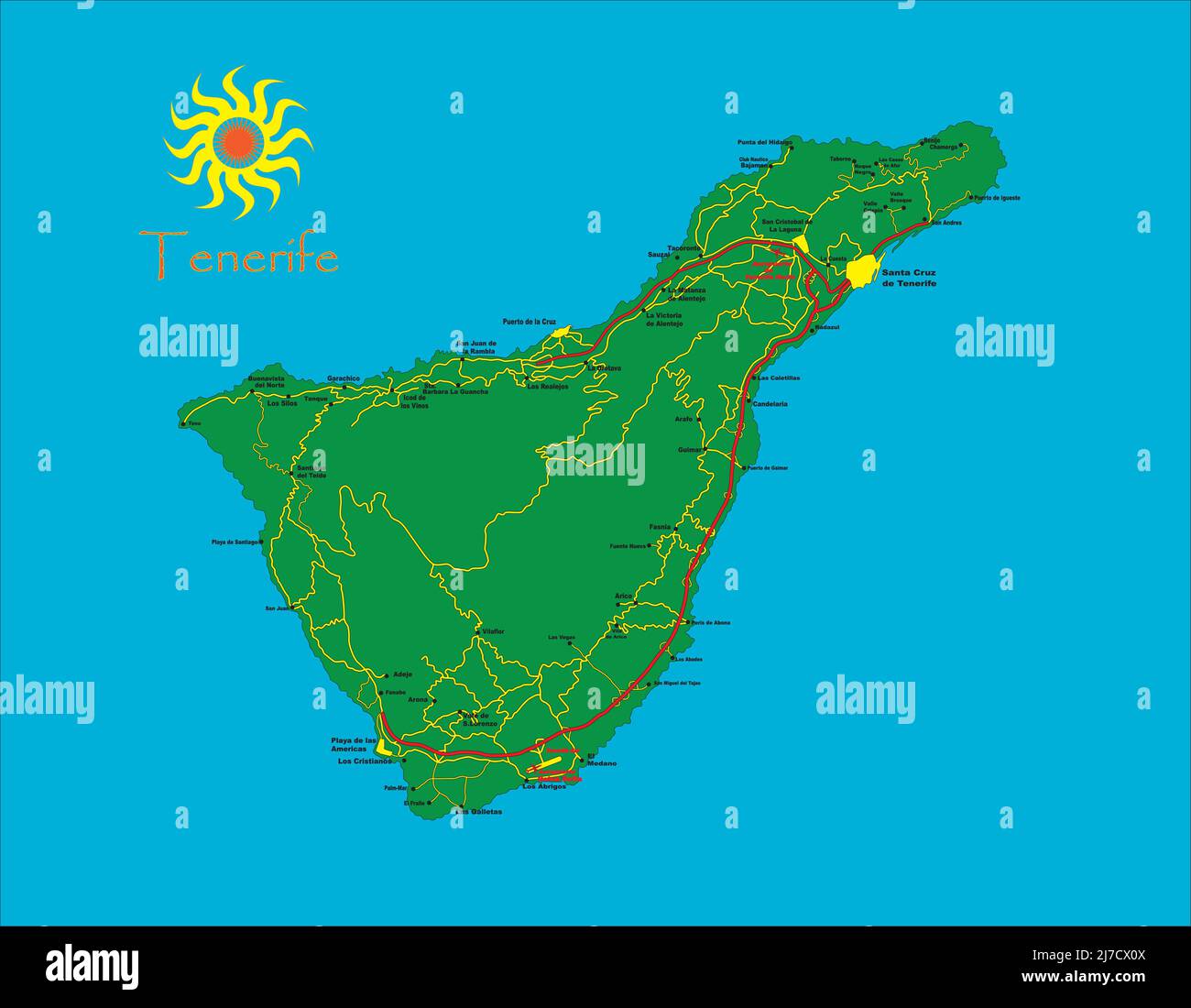 Tenerife island map with cities and main roads Stock Vectorhttps://www.alamy.com/image-license-details/?v=1https://www.alamy.com/tenerife-island-map-with-cities-and-main-roads-image469266362.html
RF2J7CX0X–Tenerife island map with cities and main roads
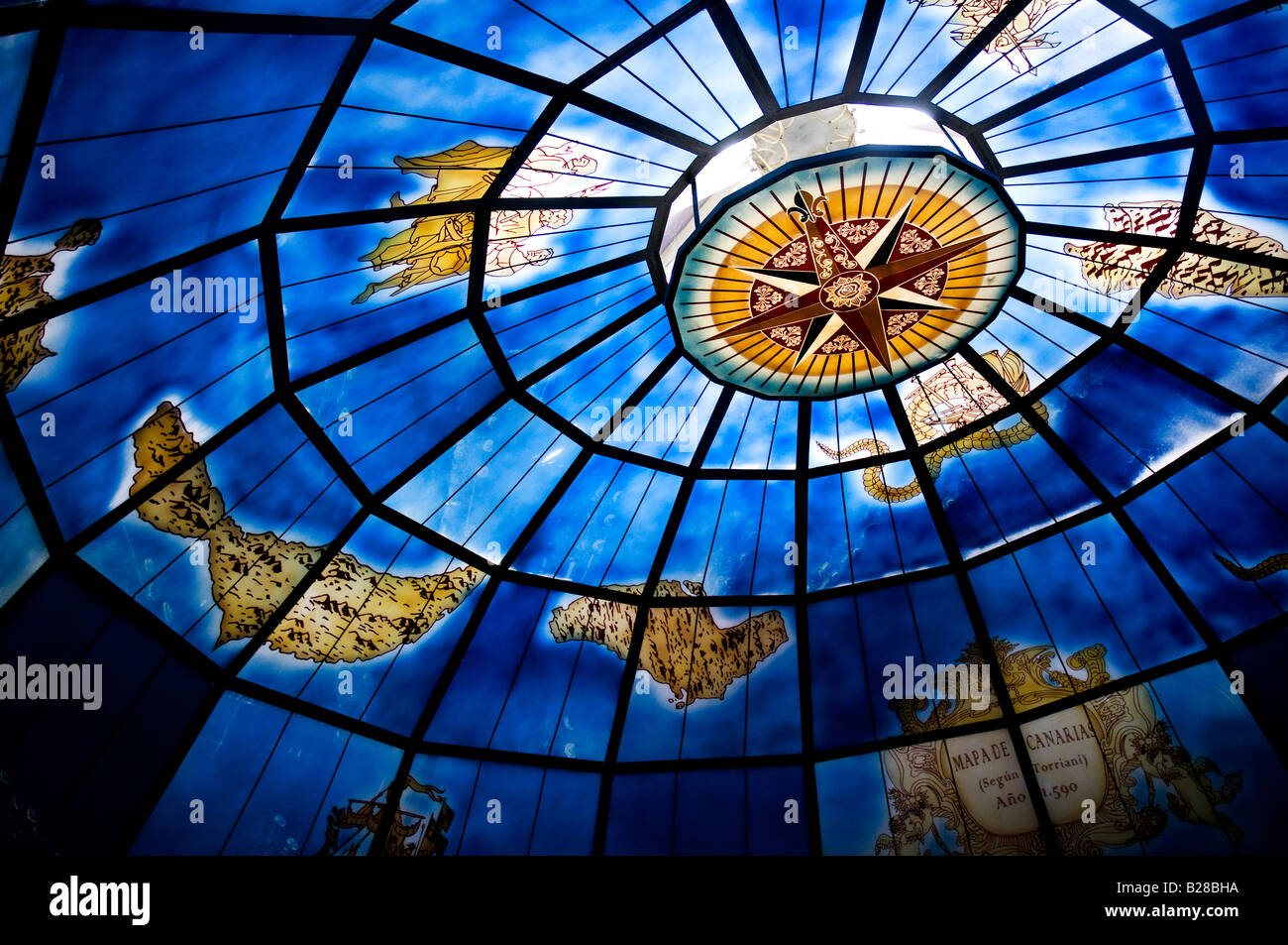 Old map of the Canary Islands on the glass dome of 'La Cazuela', a restaurant in Puerto de la Cruz, Tenerife, Spain Stock Photohttps://www.alamy.com/image-license-details/?v=1https://www.alamy.com/stock-photo-old-map-of-the-canary-islands-on-the-glass-dome-of-la-cazuela-a-restaurant-18624406.html
RFB28BHA–Old map of the Canary Islands on the glass dome of 'La Cazuela', a restaurant in Puerto de la Cruz, Tenerife, Spain
 Tenerife map with name Stock Vectorhttps://www.alamy.com/image-license-details/?v=1https://www.alamy.com/stock-photo-tenerife-map-with-name-130635841.html
RFHGEY9N–Tenerife map with name
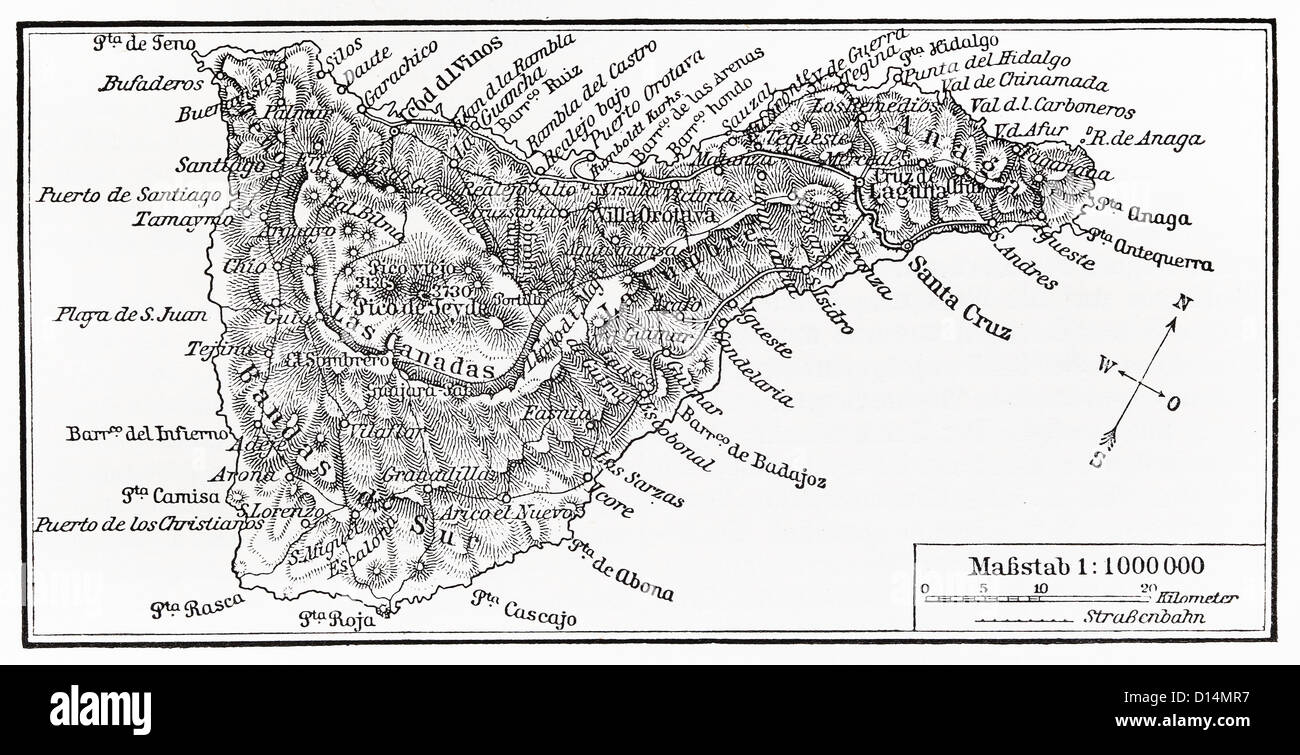 Vintage map of Tenerife island from the end of 19th century Stock Photohttps://www.alamy.com/image-license-details/?v=1https://www.alamy.com/stock-photo-vintage-map-of-tenerife-island-from-the-end-of-19th-century-52349899.html
RFD14MR7–Vintage map of Tenerife island from the end of 19th century
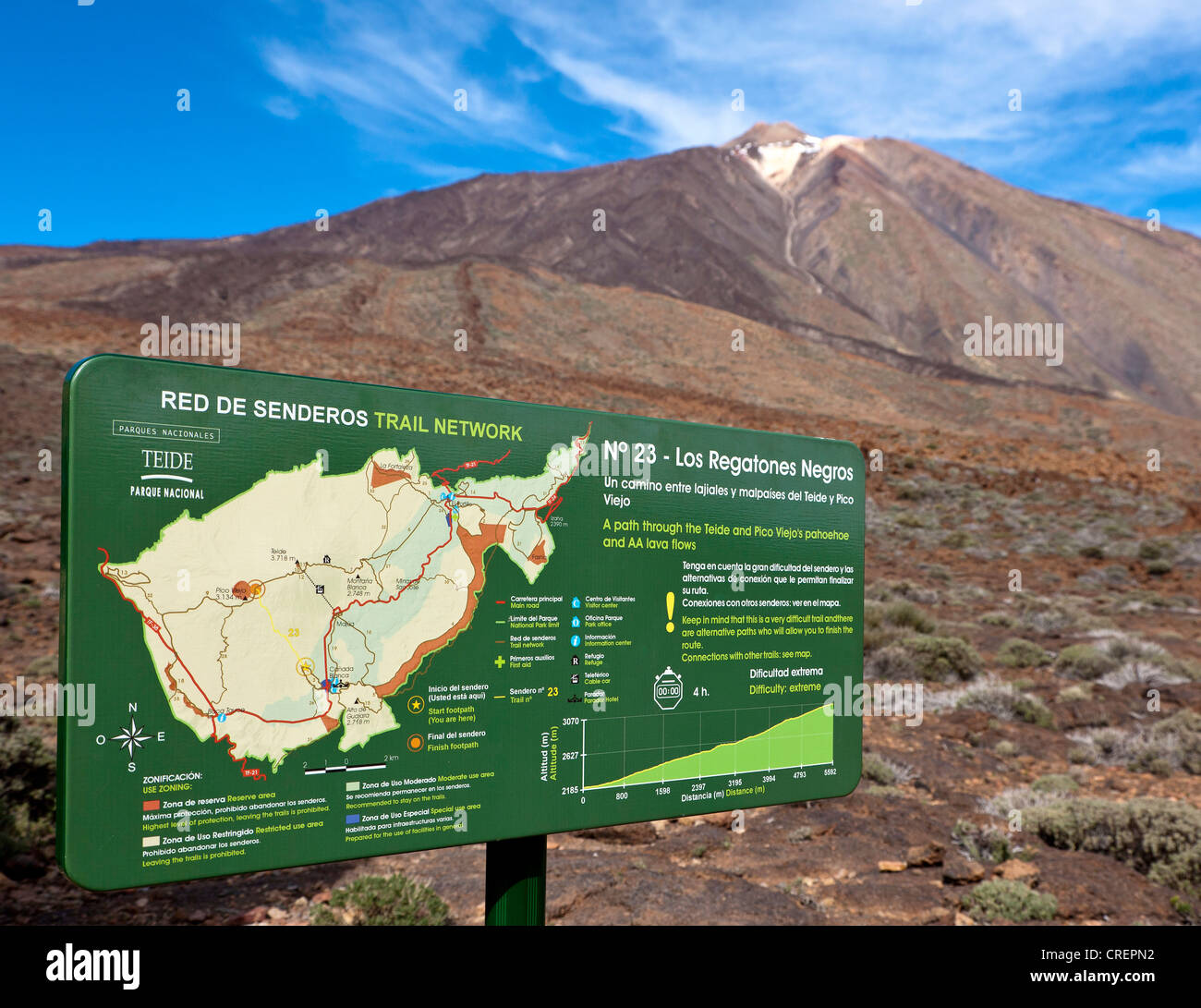 Map with hiking trails, Teide National Park, Tenerife, Canary Islands, Spain, Europe Stock Photohttps://www.alamy.com/image-license-details/?v=1https://www.alamy.com/stock-photo-map-with-hiking-trails-teide-national-park-tenerife-canary-islands-48882990.html
RMCREPN2–Map with hiking trails, Teide National Park, Tenerife, Canary Islands, Spain, Europe
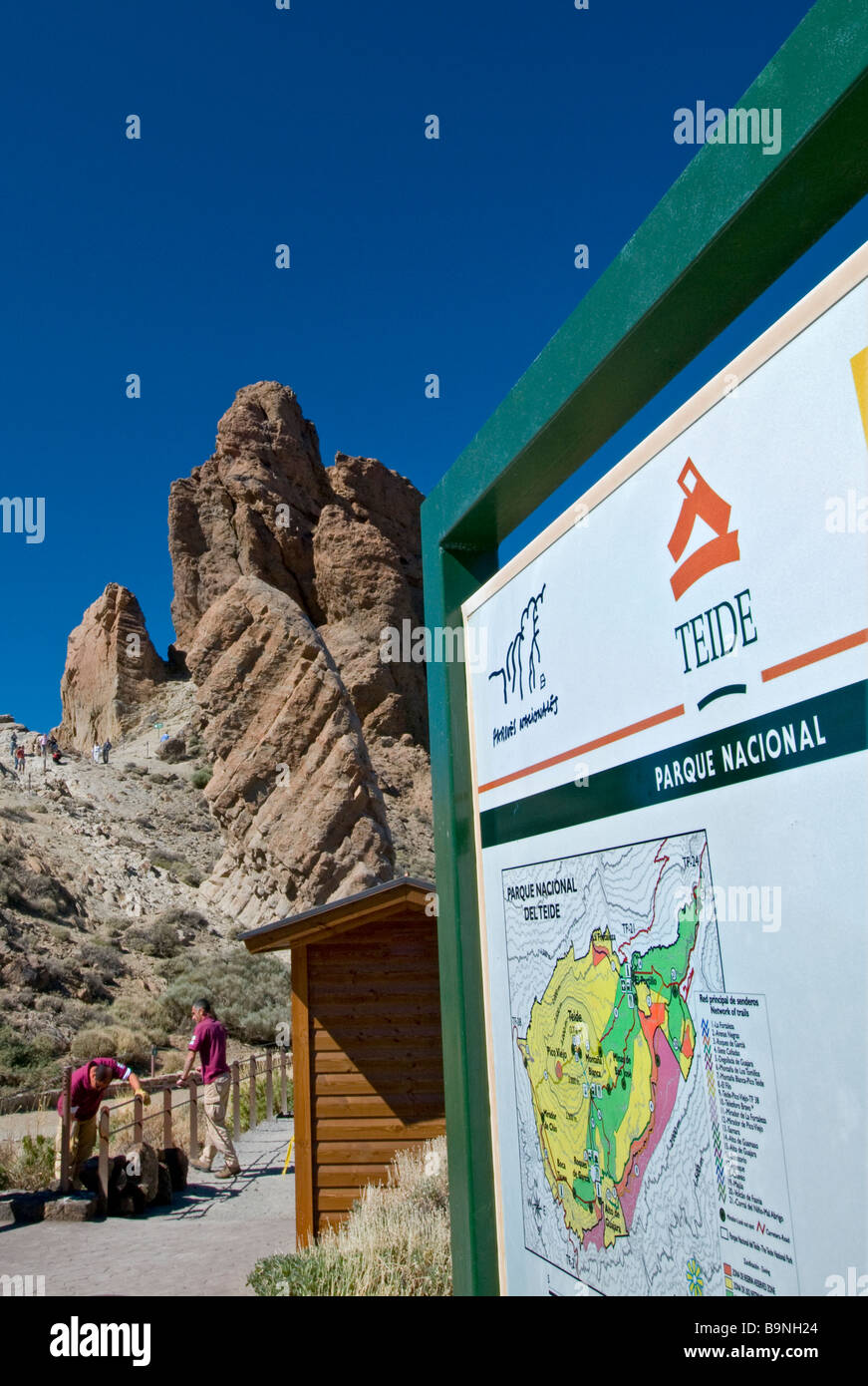 Map and entrance to Las Canadas and Mount Teide in Teide National Park Tenerife Canary Islands Spain Stock Photohttps://www.alamy.com/image-license-details/?v=1https://www.alamy.com/stock-photo-map-and-entrance-to-las-canadas-and-mount-teide-in-teide-national-23216652.html
RMB9NH24–Map and entrance to Las Canadas and Mount Teide in Teide National Park Tenerife Canary Islands Spain
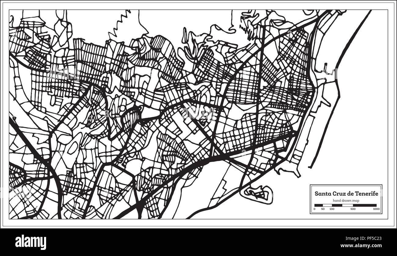 Santa Cruz de Tenerife Spain City Map in Retro Style. Outline Map. Vector Illustration. Stock Vectorhttps://www.alamy.com/image-license-details/?v=1https://www.alamy.com/santa-cruz-de-tenerife-spain-city-map-in-retro-style-outline-map-vector-illustration-image215863483.html
RFPF5C23–Santa Cruz de Tenerife Spain City Map in Retro Style. Outline Map. Vector Illustration.
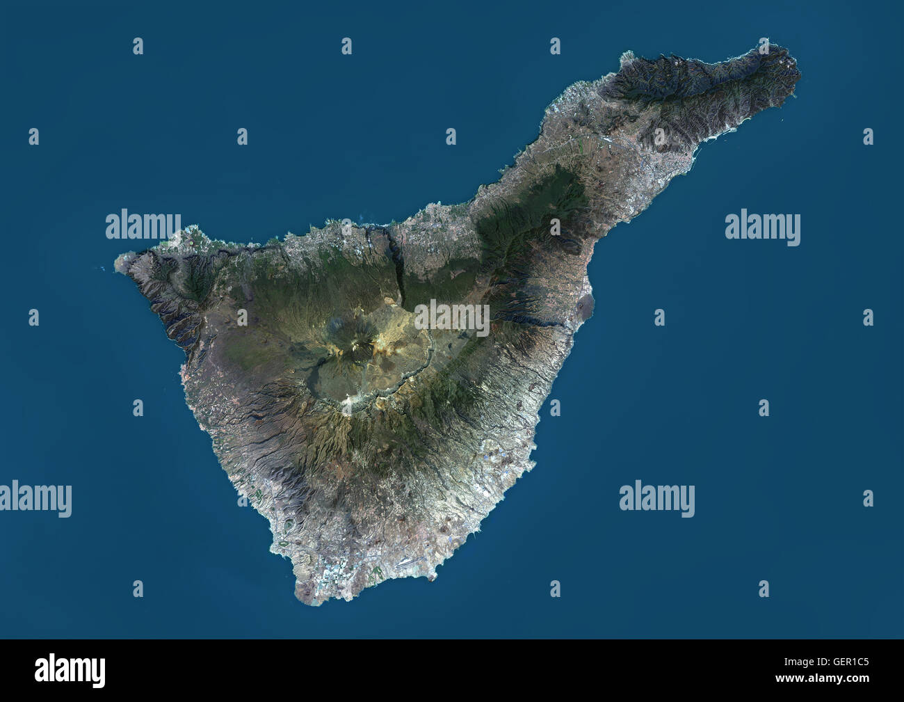 Satellite view of Tenerife, Canary Islands, Spain. It is the largest and most populous island of the seven Canary Islands. Volcano Mount Teide at center is the highest point of Spain, at 3718 m. This image was compiled from data acquired by Landsat 8 sate Stock Photohttps://www.alamy.com/image-license-details/?v=1https://www.alamy.com/stock-photo-satellite-view-of-tenerife-canary-islands-spain-it-is-the-largest-112373413.html
RMGER1C5–Satellite view of Tenerife, Canary Islands, Spain. It is the largest and most populous island of the seven Canary Islands. Volcano Mount Teide at center is the highest point of Spain, at 3718 m. This image was compiled from data acquired by Landsat 8 sate
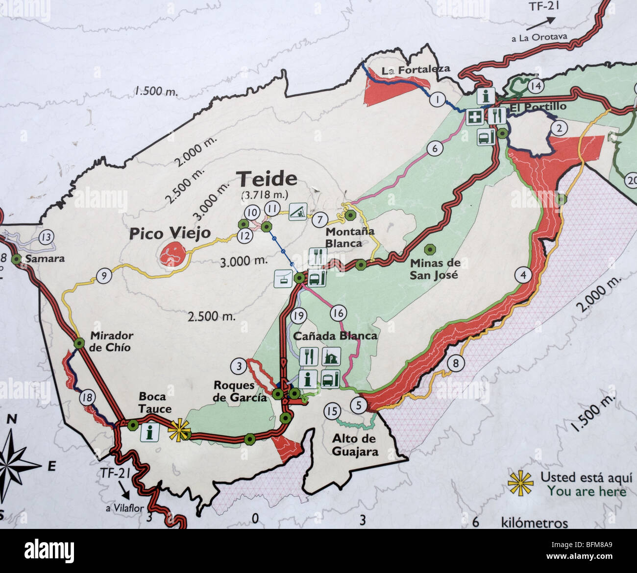 Teide National Park sign and map Tenerife Stock Photohttps://www.alamy.com/image-license-details/?v=1https://www.alamy.com/stock-photo-teide-national-park-sign-and-map-tenerife-26875809.html
RMBFM8A9–Teide National Park sign and map Tenerife
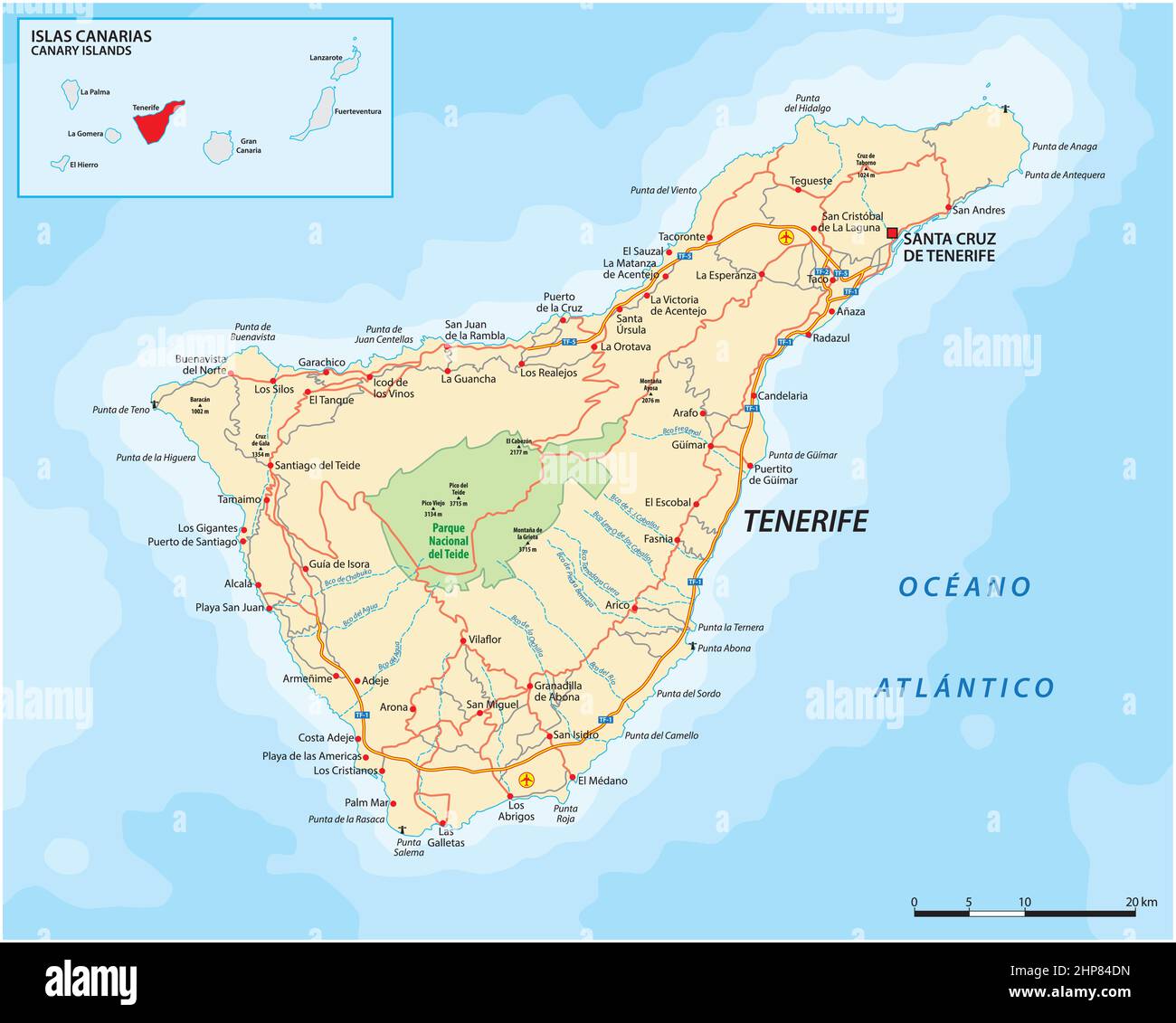 Vector road map of Canary Island Tenerife Stock Vectorhttps://www.alamy.com/image-license-details/?v=1https://www.alamy.com/vector-road-map-of-canary-island-tenerife-image461171137.html
RF2HP84DN–Vector road map of Canary Island Tenerife
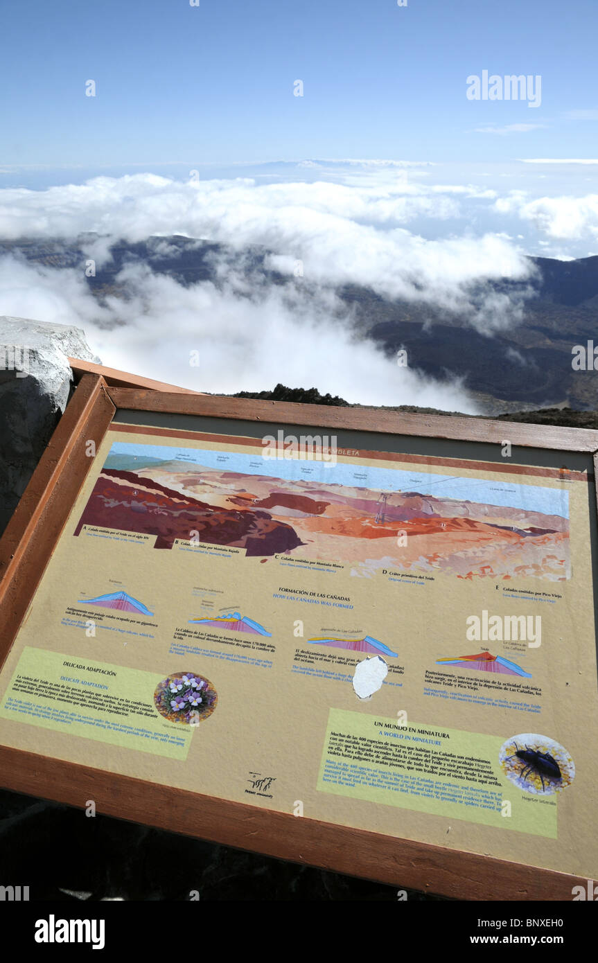 View Map At Mount Teide In Tenerife, Canary Islands, Spain Stock Photohttps://www.alamy.com/image-license-details/?v=1https://www.alamy.com/stock-photo-view-map-at-mount-teide-in-tenerife-canary-islands-spain-30700348.html
RMBNXEH0–View Map At Mount Teide In Tenerife, Canary Islands, Spain
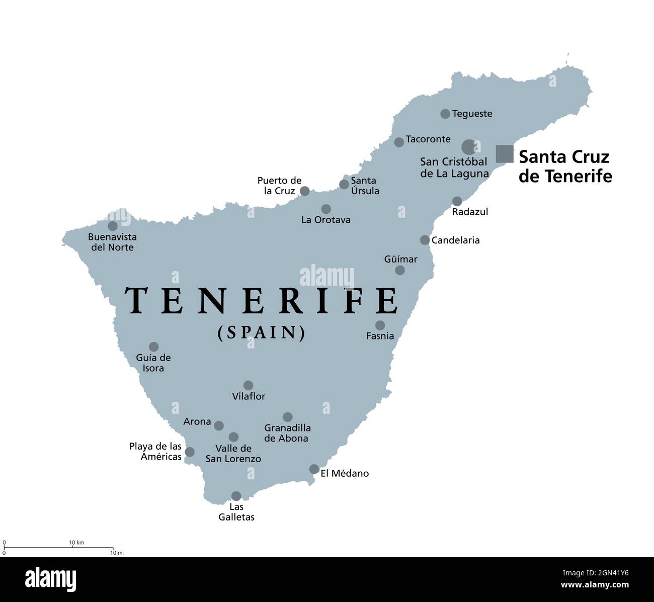 Tenerife island, gray political map, with capital Santa Cruz de Tenerife. Largest and most populous island of Canary Islands, Spain. Stock Photohttps://www.alamy.com/image-license-details/?v=1https://www.alamy.com/tenerife-island-gray-political-map-with-capital-santa-cruz-de-tenerife-largest-and-most-populous-island-of-canary-islands-spain-image443256330.html
RF2GN41Y6–Tenerife island, gray political map, with capital Santa Cruz de Tenerife. Largest and most populous island of Canary Islands, Spain.
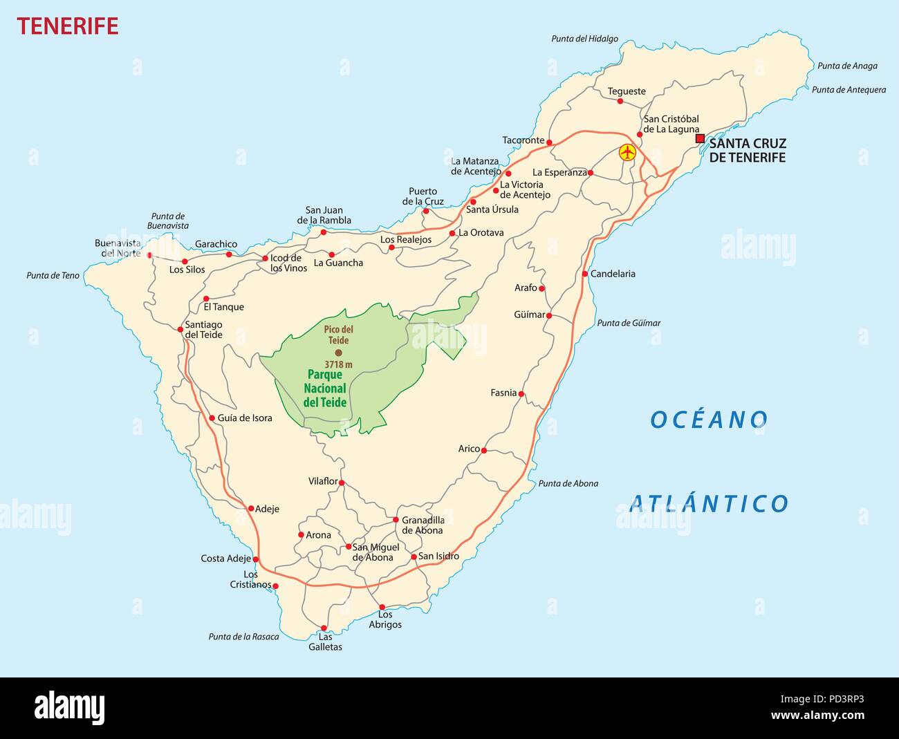 Vector road map of Canary Island tenerife Stock Vectorhttps://www.alamy.com/image-license-details/?v=1https://www.alamy.com/vector-road-map-of-canary-island-tenerife-image214599451.html
RFPD3RP3–Vector road map of Canary Island tenerife
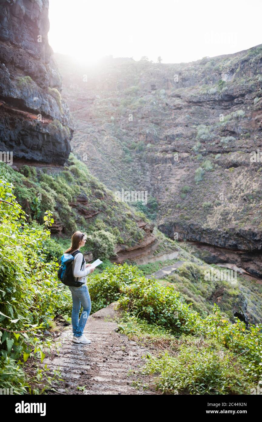 Female hiker with map, Tenerife, Balearic Islands, Spain Stock Photohttps://www.alamy.com/image-license-details/?v=1https://www.alamy.com/female-hiker-with-map-tenerife-balearic-islands-spain-image363971293.html
RF2C4492N–Female hiker with map, Tenerife, Balearic Islands, Spain
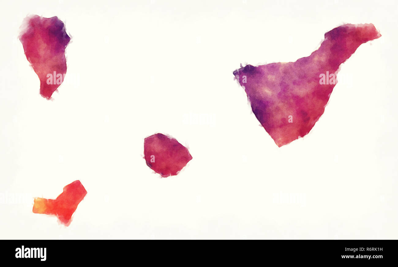 Santa Cruz de Tenerife region watercolor map of Spain in front of a white background.jpg Stock Photohttps://www.alamy.com/image-license-details/?v=1https://www.alamy.com/santa-cruz-de-tenerife-region-watercolor-map-of-spain-in-front-of-a-white-backgroundjpg-image227942557.html
RFR6RK1H–Santa Cruz de Tenerife region watercolor map of Spain in front of a white background.jpg
 abstract Tenerife, Canary Islands outline shape isolated on blue background, vector illustration Stock Vectorhttps://www.alamy.com/image-license-details/?v=1https://www.alamy.com/abstract-tenerife-canary-islands-outline-shape-isolated-on-blue-background-vector-illustration-image459874394.html
RF2HM52DE–abstract Tenerife, Canary Islands outline shape isolated on blue background, vector illustration
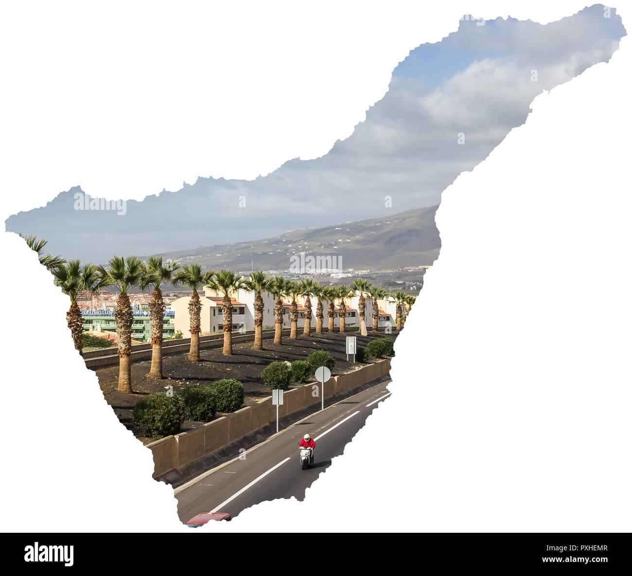 Motorway TF-1 Tenerife Map Canary Islands Spain Highway Stock Photohttps://www.alamy.com/image-license-details/?v=1https://www.alamy.com/motorway-tf-1-tenerife-map-canary-islands-spain-highway-image222890215.html
RFPXHEMR–Motorway TF-1 Tenerife Map Canary Islands Spain Highway
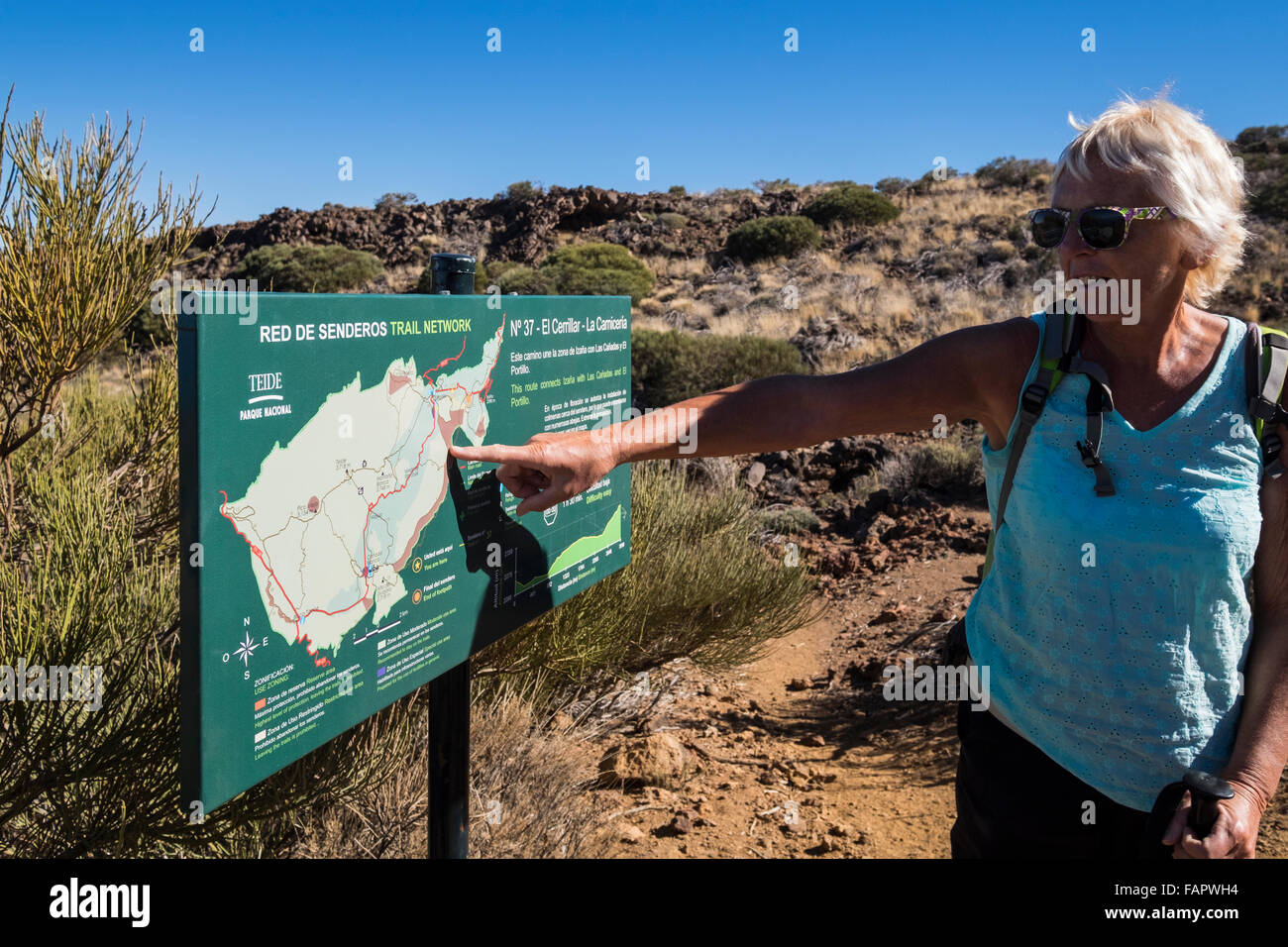 Walking through the volcanic landscape in the Las Canadas del Teide national park on Tenerife, Canary Islands, Spain. Stock Photohttps://www.alamy.com/image-license-details/?v=1https://www.alamy.com/stock-photo-walking-through-the-volcanic-landscape-in-the-las-canadas-del-teide-92701424.html
RMFAPWH4–Walking through the volcanic landscape in the Las Canadas del Teide national park on Tenerife, Canary Islands, Spain.
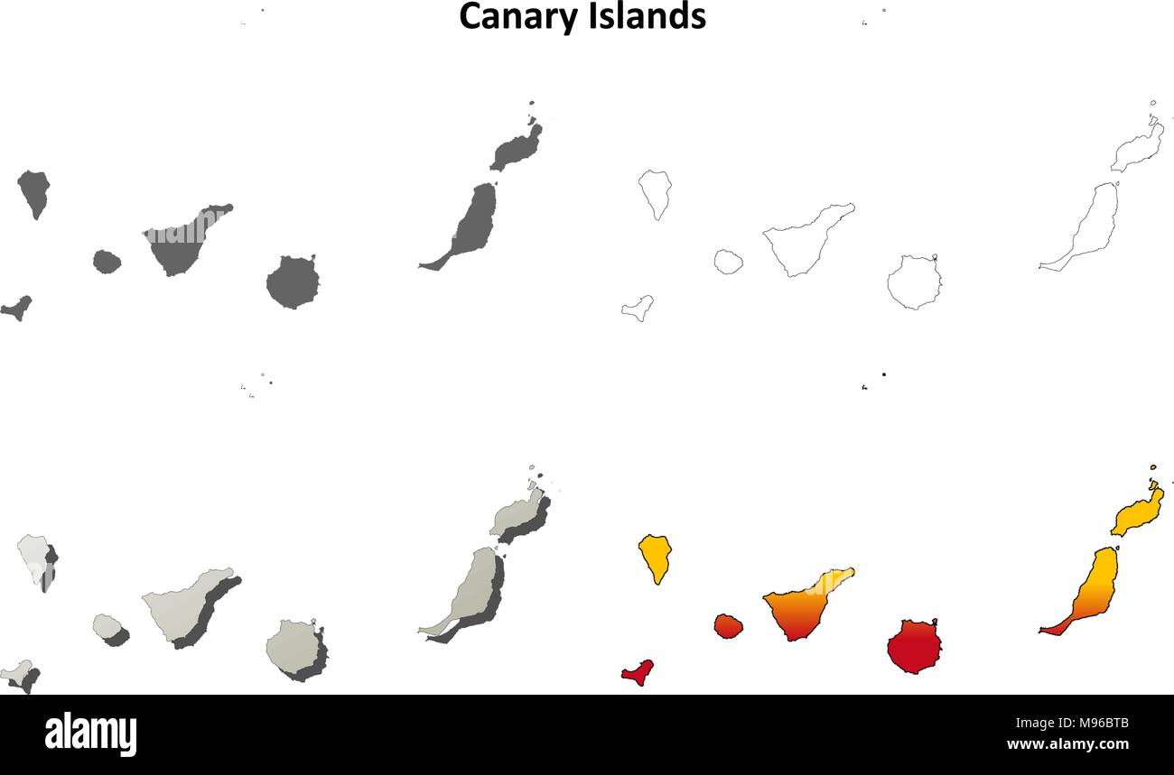 Canary Islands blank outline map set Stock Vectorhttps://www.alamy.com/image-license-details/?v=1https://www.alamy.com/canary-islands-blank-outline-map-set-image177776603.html
RFM96BTB–Canary Islands blank outline map set
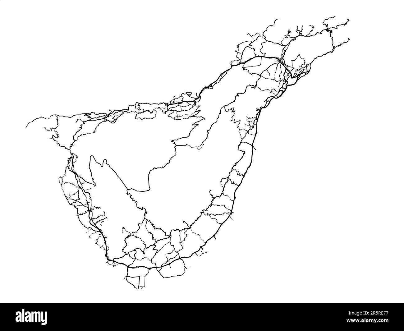 Vector road map of the city of Tenerife in Spain on a white background. Stock Photohttps://www.alamy.com/image-license-details/?v=1https://www.alamy.com/vector-road-map-of-the-city-of-tenerife-in-spain-on-a-white-background-image554321131.html
RF2R5RE77–Vector road map of the city of Tenerife in Spain on a white background.
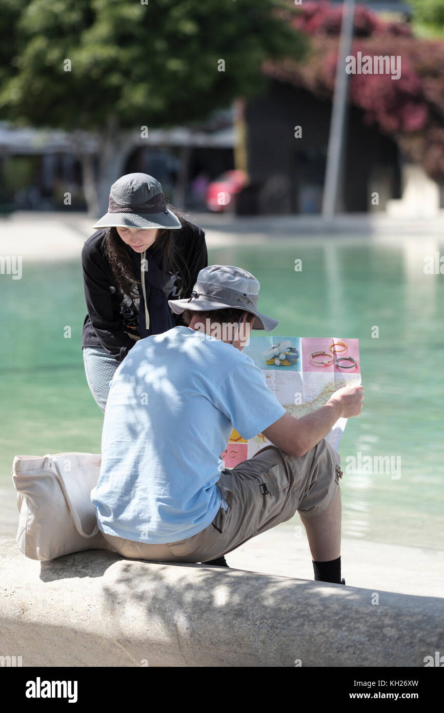 Lago de Plaza Espana, tourists checking map by lakeside, Santa Cruz, Tenerife, Canary Islands, Spain, Stock Photohttps://www.alamy.com/image-license-details/?v=1https://www.alamy.com/stock-image-lago-de-plaza-espana-tourists-checking-map-by-lakeside-santa-cruz-165391825.html
RFKH26XW–Lago de Plaza Espana, tourists checking map by lakeside, Santa Cruz, Tenerife, Canary Islands, Spain,
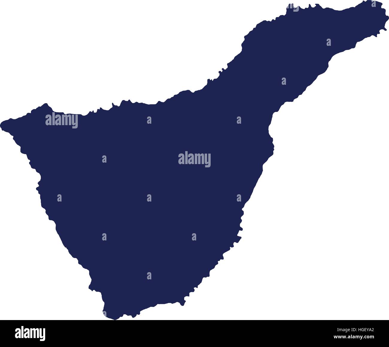 Tenerife map silhouette Stock Vectorhttps://www.alamy.com/image-license-details/?v=1https://www.alamy.com/stock-photo-tenerife-map-silhouette-130635850.html
RFHGEYA2–Tenerife map silhouette
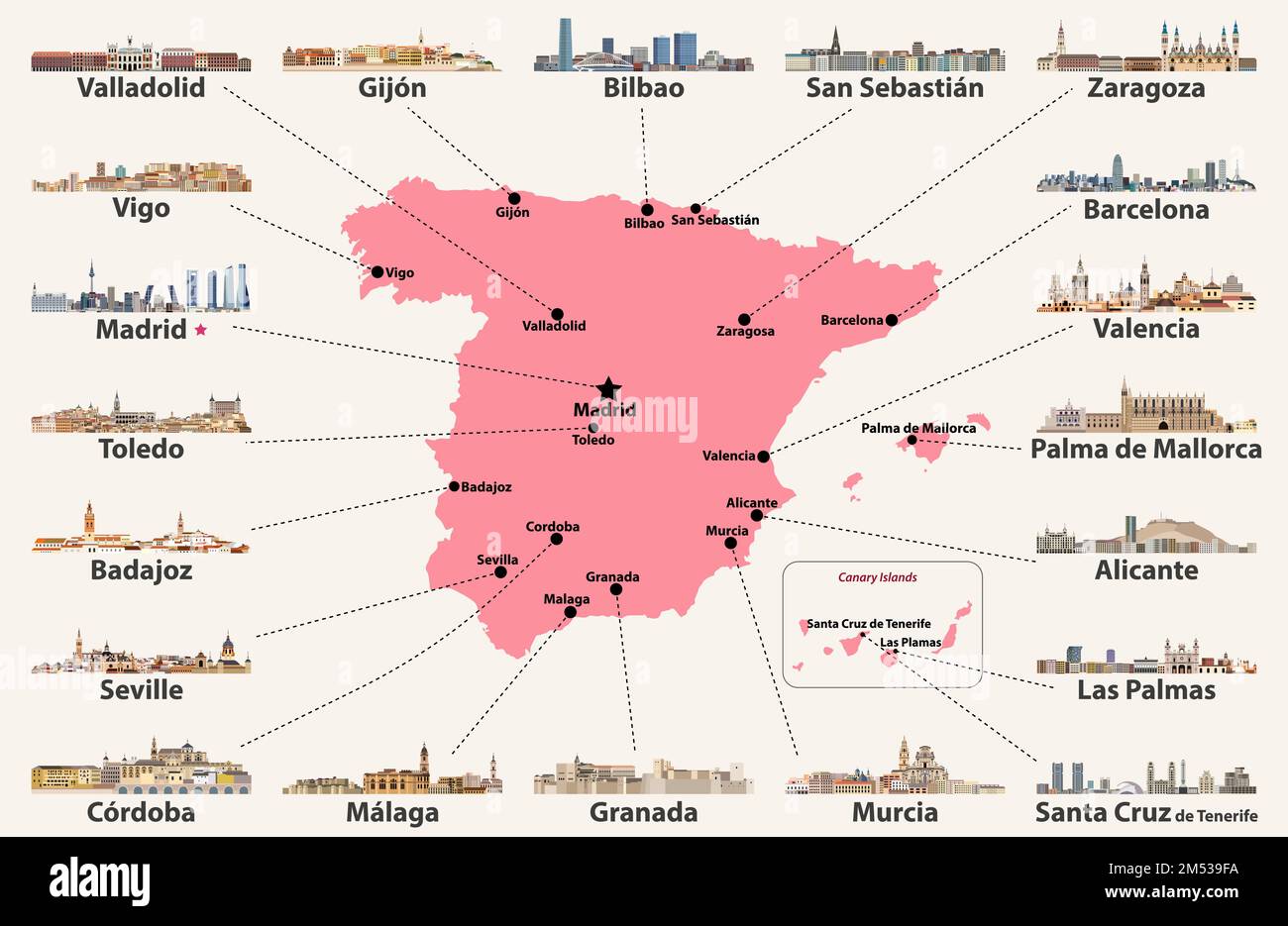 Spain map with main cities skylines. Vector illustration Stock Vectorhttps://www.alamy.com/image-license-details/?v=1https://www.alamy.com/spain-map-with-main-cities-skylines-vector-illustration-image502247294.html
RF2M539FA–Spain map with main cities skylines. Vector illustration
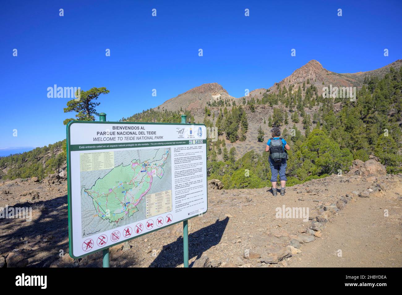 Sign with map about Teide National Park, Vilaflor, Tenerife, Spain Stock Photohttps://www.alamy.com/image-license-details/?v=1https://www.alamy.com/sign-with-map-about-teide-national-park-vilaflor-tenerife-spain-image454834082.html
RF2HBYDEA–Sign with map about Teide National Park, Vilaflor, Tenerife, Spain
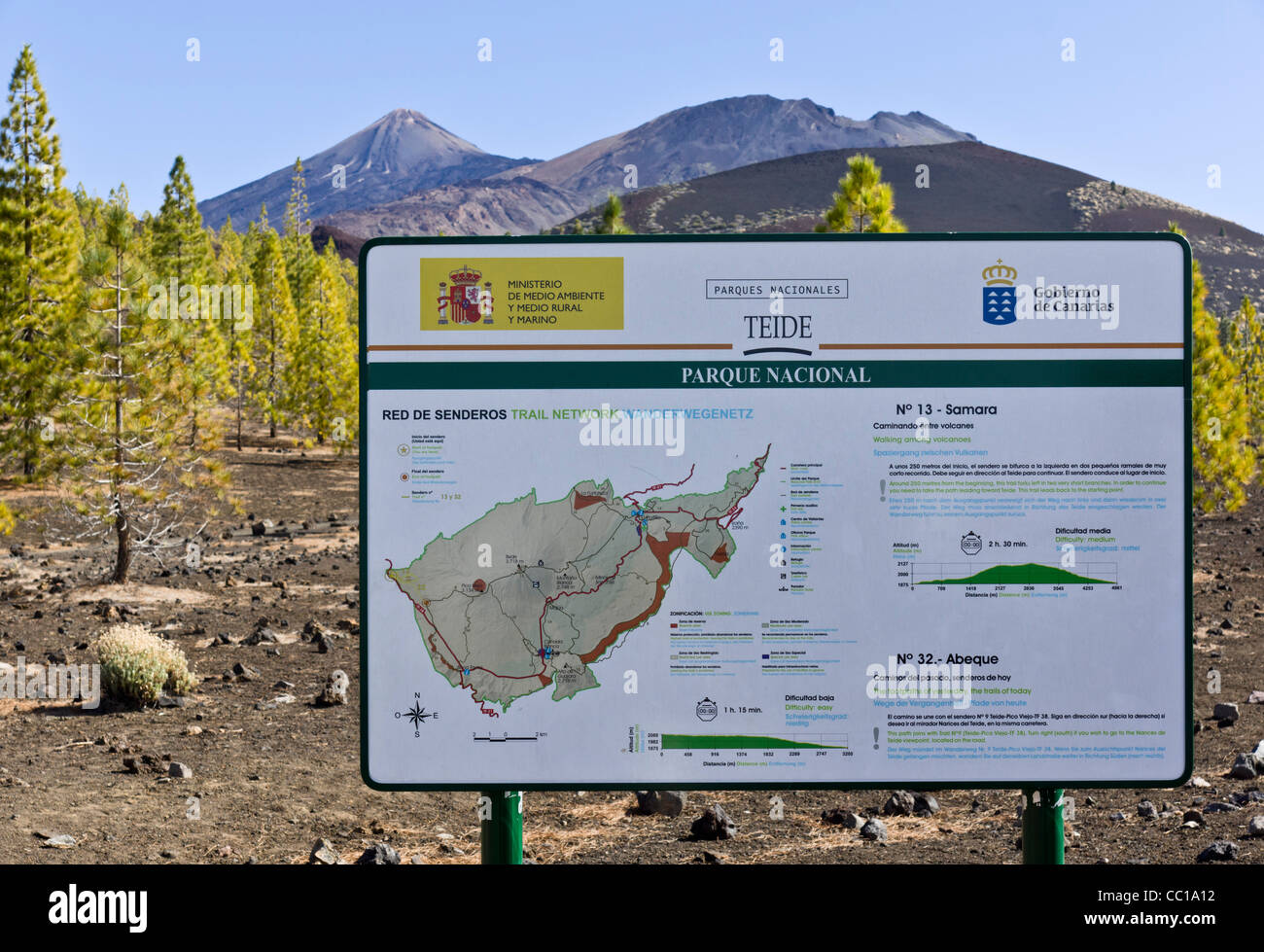 The Samara volcano footpaths, approach to Mount Teide, Tenerife. Information and map board. Stock Photohttps://www.alamy.com/image-license-details/?v=1https://www.alamy.com/stock-photo-the-samara-volcano-footpaths-approach-to-mount-teide-tenerife-information-41826430.html
RFCC1A12–The Samara volcano footpaths, approach to Mount Teide, Tenerife. Information and map board.
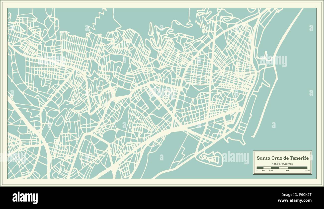 Santa Cruz de Tenerife Spain City Map in Retro Style. Outline Map. Vector Illustration. Stock Vectorhttps://www.alamy.com/image-license-details/?v=1https://www.alamy.com/santa-cruz-de-tenerife-spain-city-map-in-retro-style-outline-map-vector-illustration-image210490752.html
RFP6CK2T–Santa Cruz de Tenerife Spain City Map in Retro Style. Outline Map. Vector Illustration.
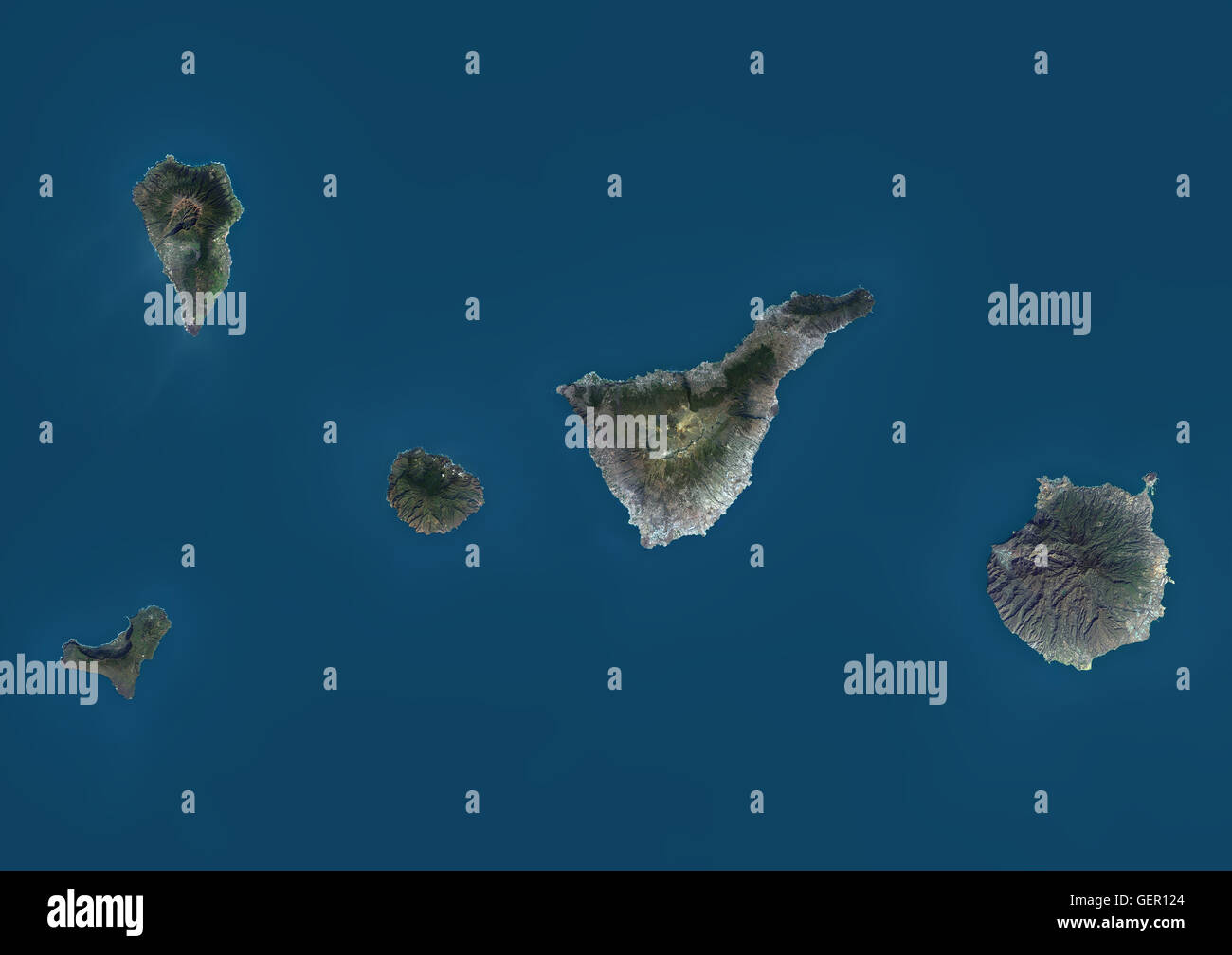 Satellite view of La Palma, Tenerife and Gran Canaria, Canary Islands, Spain. The smallest islands of La Gomera and El Hierro are also shown. This image was compiled from data acquired by Landsat 8 satellite in 2014. Stock Photohttps://www.alamy.com/image-license-details/?v=1https://www.alamy.com/stock-photo-satellite-view-of-la-palma-tenerife-and-gran-canaria-canary-islands-112373132.html
RMGER124–Satellite view of La Palma, Tenerife and Gran Canaria, Canary Islands, Spain. The smallest islands of La Gomera and El Hierro are also shown. This image was compiled from data acquired by Landsat 8 satellite in 2014.
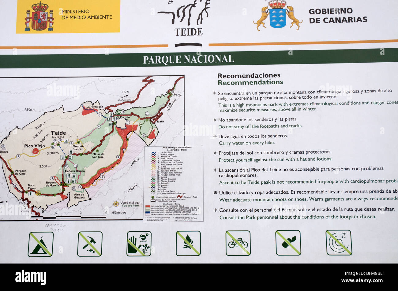 Teide national park sign and map in tenerife Stock Photohttps://www.alamy.com/image-license-details/?v=1https://www.alamy.com/stock-photo-teide-national-park-sign-and-map-in-tenerife-26875842.html
RMBFM8BE–Teide national park sign and map in tenerife
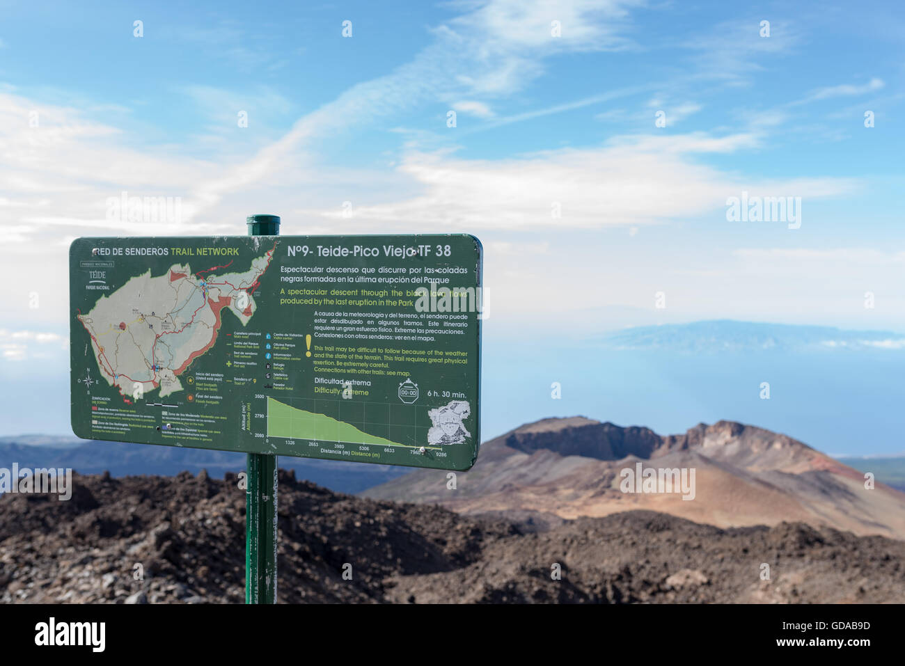 Spain, Canary Islands, Tenerife, hike on the Picp del Teide. The Pico del Teide (Teyde) is with 3718 m the highest elevation on the Canary Island Stock Photohttps://www.alamy.com/image-license-details/?v=1https://www.alamy.com/stock-photo-spain-canary-islands-tenerife-hike-on-the-picp-del-teide-the-pico-111481145.html
RFGDAB9D–Spain, Canary Islands, Tenerife, hike on the Picp del Teide. The Pico del Teide (Teyde) is with 3718 m the highest elevation on the Canary Island
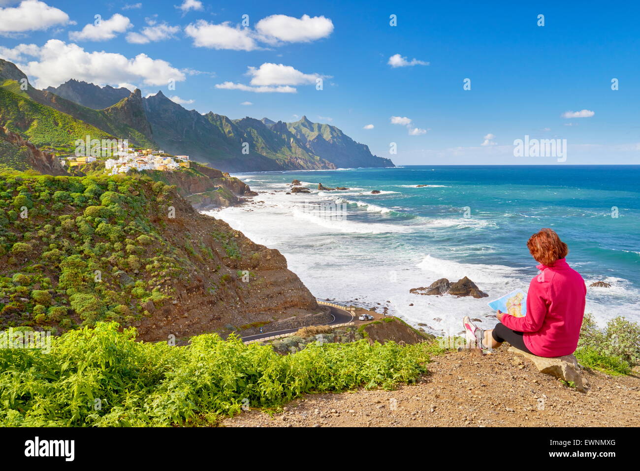 Almaciga, Taganana Coast, Tenerife, Canary Islands, Spain Stock Photohttps://www.alamy.com/image-license-details/?v=1https://www.alamy.com/stock-photo-almaciga-taganana-coast-tenerife-canary-islands-spain-84685288.html
RMEWNMXG–Almaciga, Taganana Coast, Tenerife, Canary Islands, Spain
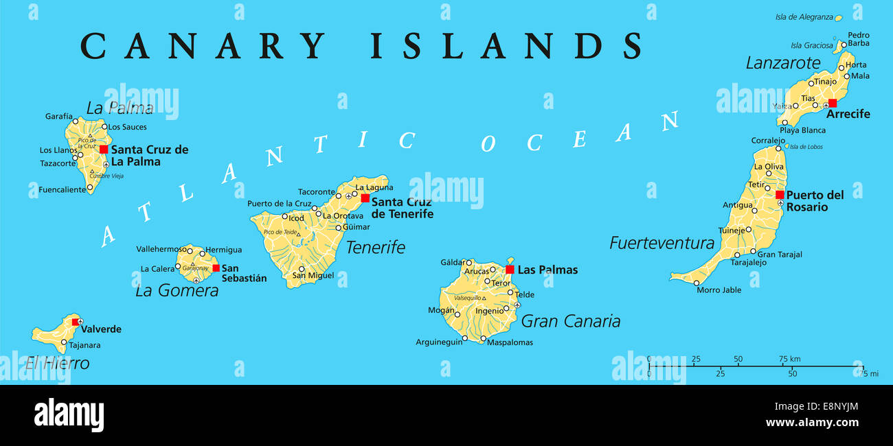 Canary Islands Political Map with Lanzarote, Fuerteventura, Gran Canaria, Tenerife, La Gomera, La Palma and El Hierro. Stock Photohttps://www.alamy.com/image-license-details/?v=1https://www.alamy.com/stock-photo-canary-islands-political-map-with-lanzarote-fuerteventura-gran-canaria-74241404.html
RFE8NYJM–Canary Islands Political Map with Lanzarote, Fuerteventura, Gran Canaria, Tenerife, La Gomera, La Palma and El Hierro.
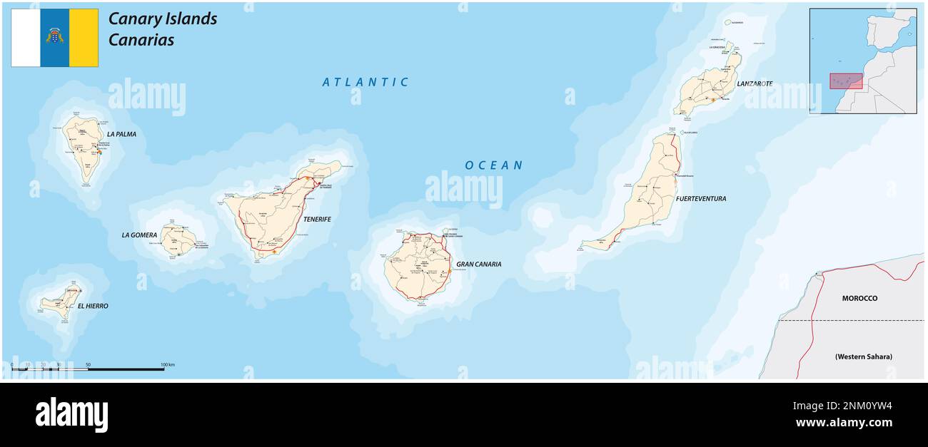 road map of the spanish archipelago of the canary islands Stock Photohttps://www.alamy.com/image-license-details/?v=1https://www.alamy.com/road-map-of-the-spanish-archipelago-of-the-canary-islands-image528626032.html
RF2NM0YW4–road map of the spanish archipelago of the canary islands
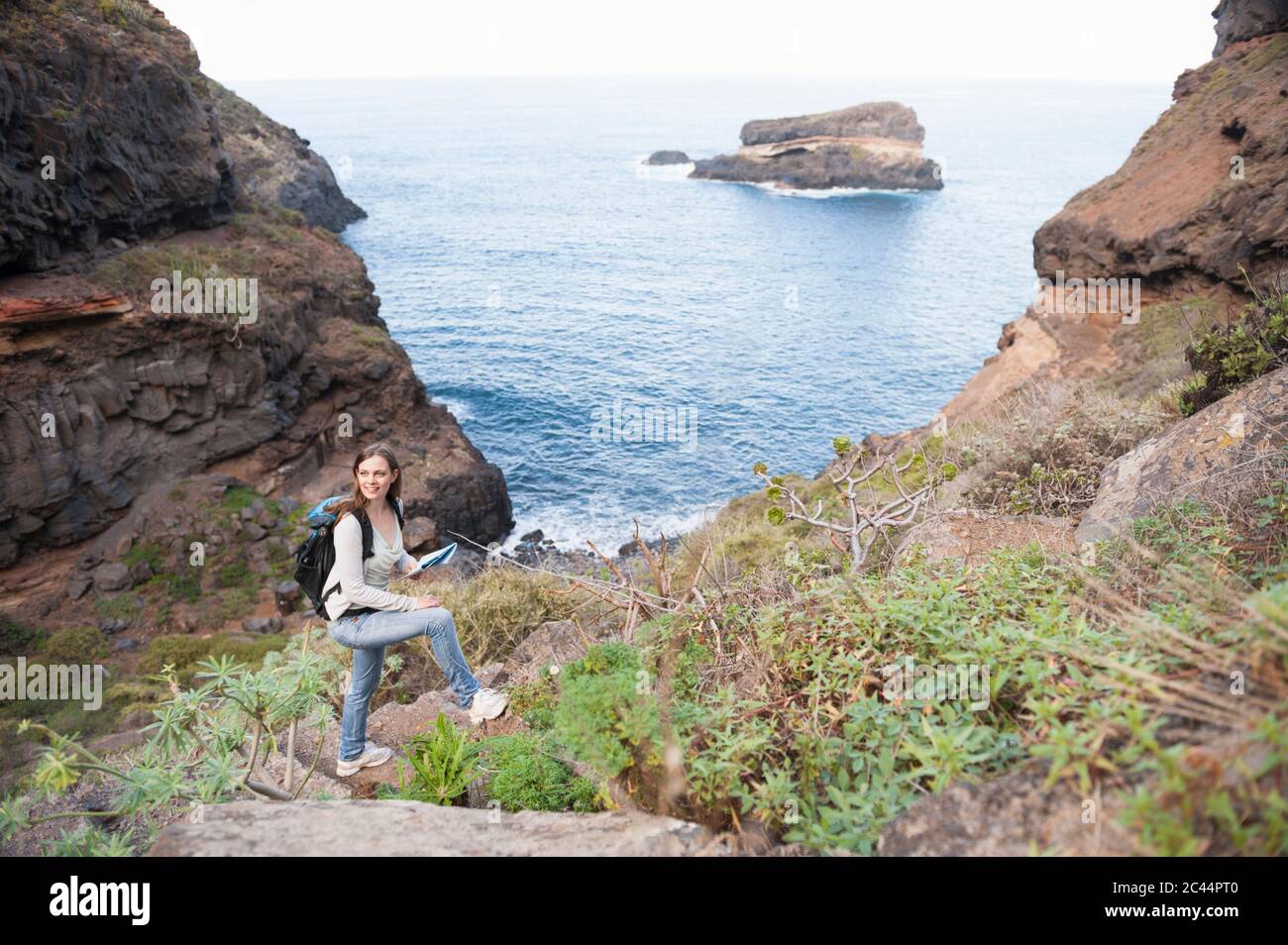 Female hiker with map, Tenerife, Balearic Islands, Spain Stock Photohttps://www.alamy.com/image-license-details/?v=1https://www.alamy.com/female-hiker-with-map-tenerife-balearic-islands-spain-image363982080.html
RF2C44PT0–Female hiker with map, Tenerife, Balearic Islands, Spain
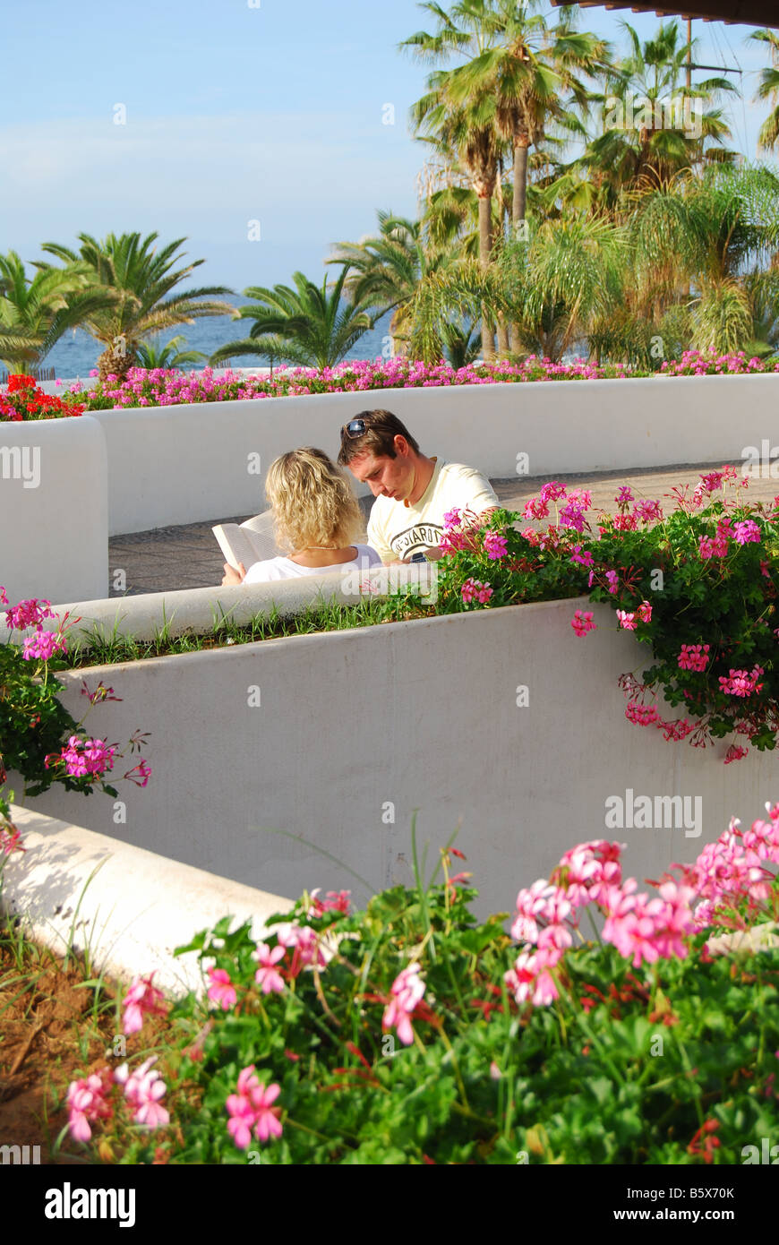 Couple on promenade, Puerto de La Cruz, Tenerife, Canary Islands, Spain Stock Photohttps://www.alamy.com/image-license-details/?v=1https://www.alamy.com/stock-photo-couple-on-promenade-puerto-de-la-cruz-tenerife-canary-islands-spain-20859907.html
RMB5X70K–Couple on promenade, Puerto de La Cruz, Tenerife, Canary Islands, Spain
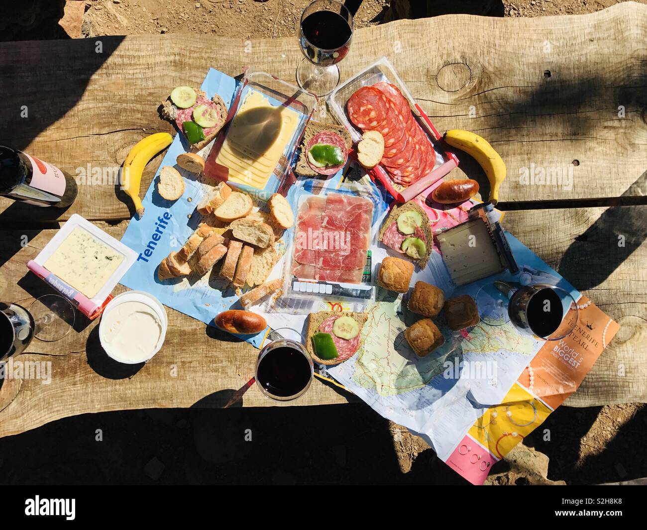 Creative Picnic Lunch in Tenerife Stock Photohttps://www.alamy.com/image-license-details/?v=1https://www.alamy.com/creative-picnic-lunch-in-tenerife-image311395932.html
RFS2H8K8–Creative Picnic Lunch in Tenerife
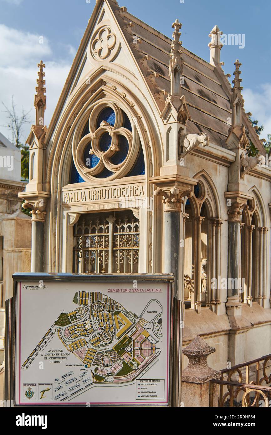 Tenerife, Spain - June 26, 2023: Mausoleum in the Santa Lastenia cemetery with the plan of the holy field in front. Stock Photohttps://www.alamy.com/image-license-details/?v=1https://www.alamy.com/tenerife-spain-june-26-2023-mausoleum-in-the-santa-lastenia-cemetery-with-the-plan-of-the-holy-field-in-front-image556648796.html
RF2R9HF64–Tenerife, Spain - June 26, 2023: Mausoleum in the Santa Lastenia cemetery with the plan of the holy field in front.
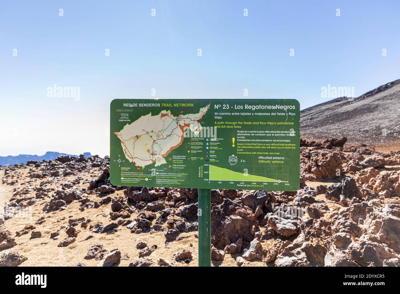 Path signs and directions on trails to the Pico Viejo in the National Park of Las Canadas del Teide, Tenerife, Canary Islands, Spain Stock Photohttps://www.alamy.com/image-license-details/?v=1https://www.alamy.com/path-signs-and-directions-on-trails-to-the-pico-viejo-in-the-national-park-of-las-canadas-del-teide-tenerife-canary-islands-spain-image395804617.html
RM2DYXCR5–Path signs and directions on trails to the Pico Viejo in the National Park of Las Canadas del Teide, Tenerife, Canary Islands, Spain
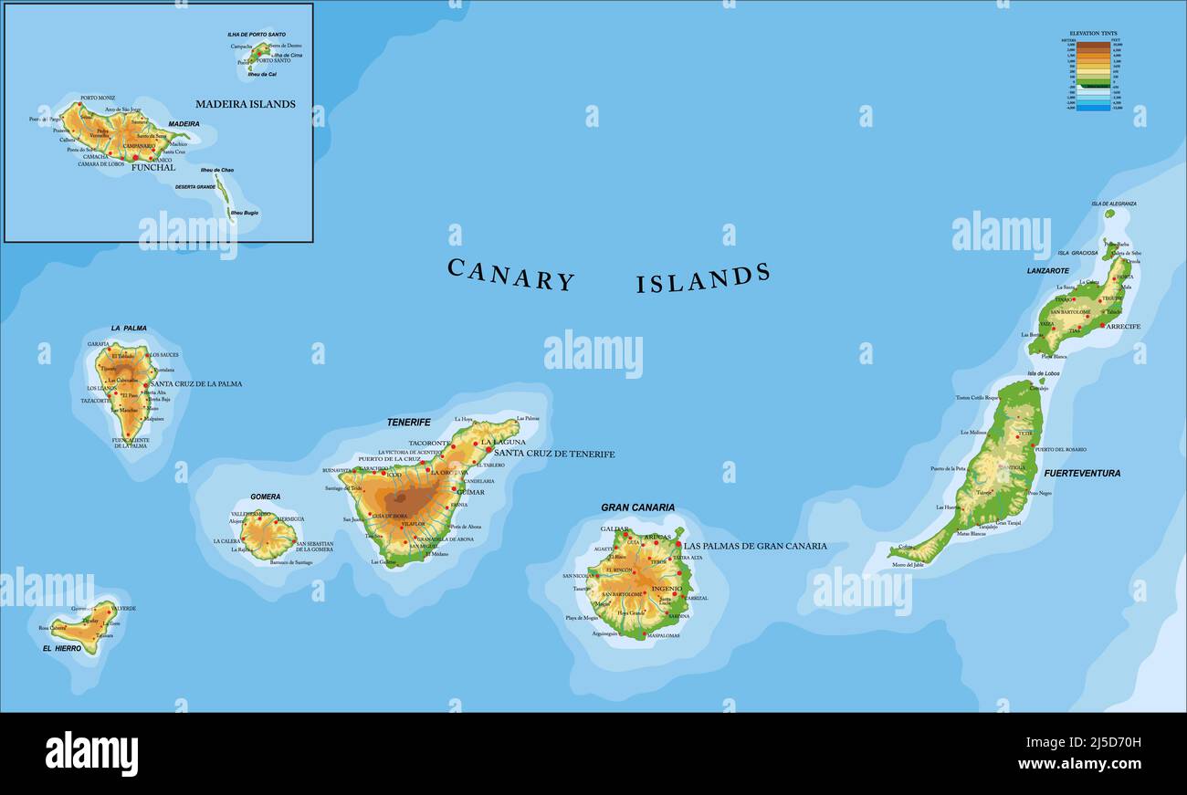 Highly detailed physical map of the Canary and Madeira islands ,in vector format,with all the relief forms,regions and big cities. Stock Vectorhttps://www.alamy.com/image-license-details/?v=1https://www.alamy.com/highly-detailed-physical-map-of-the-canary-and-madeira-islands-in-vector-formatwith-all-the-relief-formsregions-and-big-cities-image468044097.html
RF2J5D70H–Highly detailed physical map of the Canary and Madeira islands ,in vector format,with all the relief forms,regions and big cities.
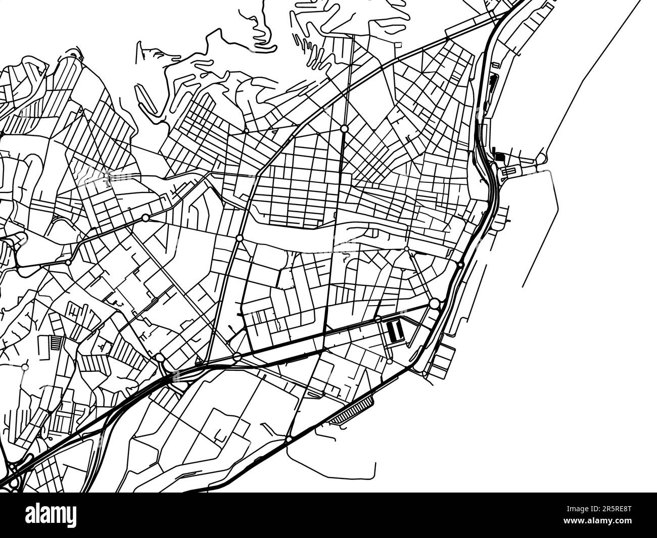 Vector road map of the city of Santa Cruz de Tenerife in Spain on a white background. Stock Photohttps://www.alamy.com/image-license-details/?v=1https://www.alamy.com/vector-road-map-of-the-city-of-santa-cruz-de-tenerife-in-spain-on-a-white-background-image554321176.html
RF2R5RE8T–Vector road map of the city of Santa Cruz de Tenerife in Spain on a white background.
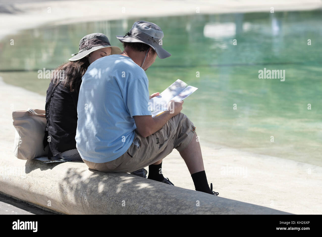 Lago de Plaza Espana, tourists checking map by lakeside, Santa Cruz, Tenerife, Canary Islands, Spain, Stock Photohttps://www.alamy.com/image-license-details/?v=1https://www.alamy.com/stock-image-lago-de-plaza-espana-tourists-checking-map-by-lakeside-santa-cruz-165391822.html
RFKH26XP–Lago de Plaza Espana, tourists checking map by lakeside, Santa Cruz, Tenerife, Canary Islands, Spain,
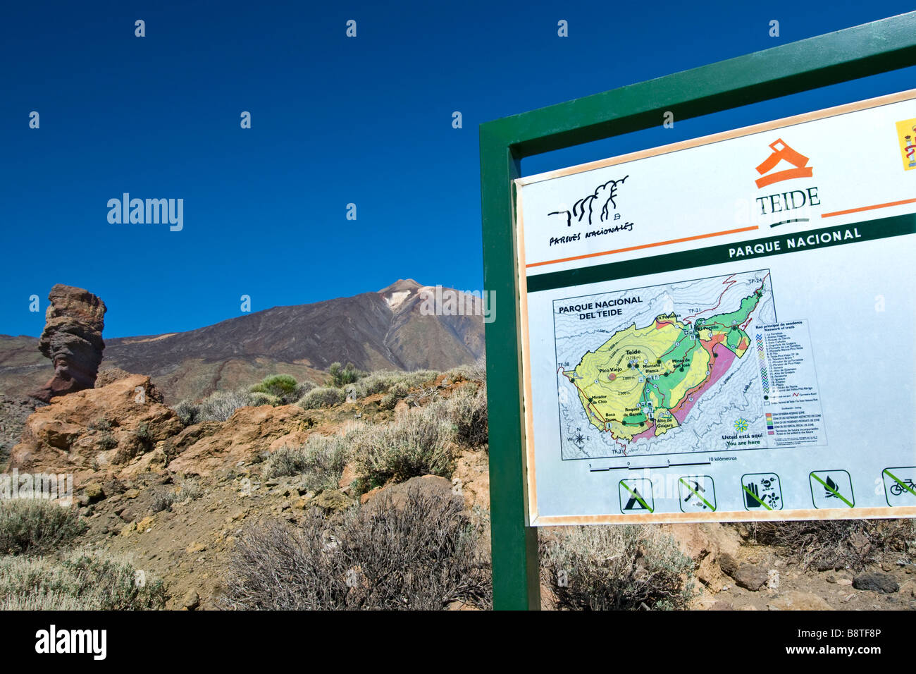 TEIDE TENERIFE Sign and orientation map with Las Canadas rock formations and Mount Teide in Teide National Park Tenerife Canary Islands Spain Stock Photohttps://www.alamy.com/image-license-details/?v=1https://www.alamy.com/stock-photo-teide-tenerife-sign-and-orientation-map-with-las-canadas-rock-formations-22666470.html
RMB8TF8P–TEIDE TENERIFE Sign and orientation map with Las Canadas rock formations and Mount Teide in Teide National Park Tenerife Canary Islands Spain
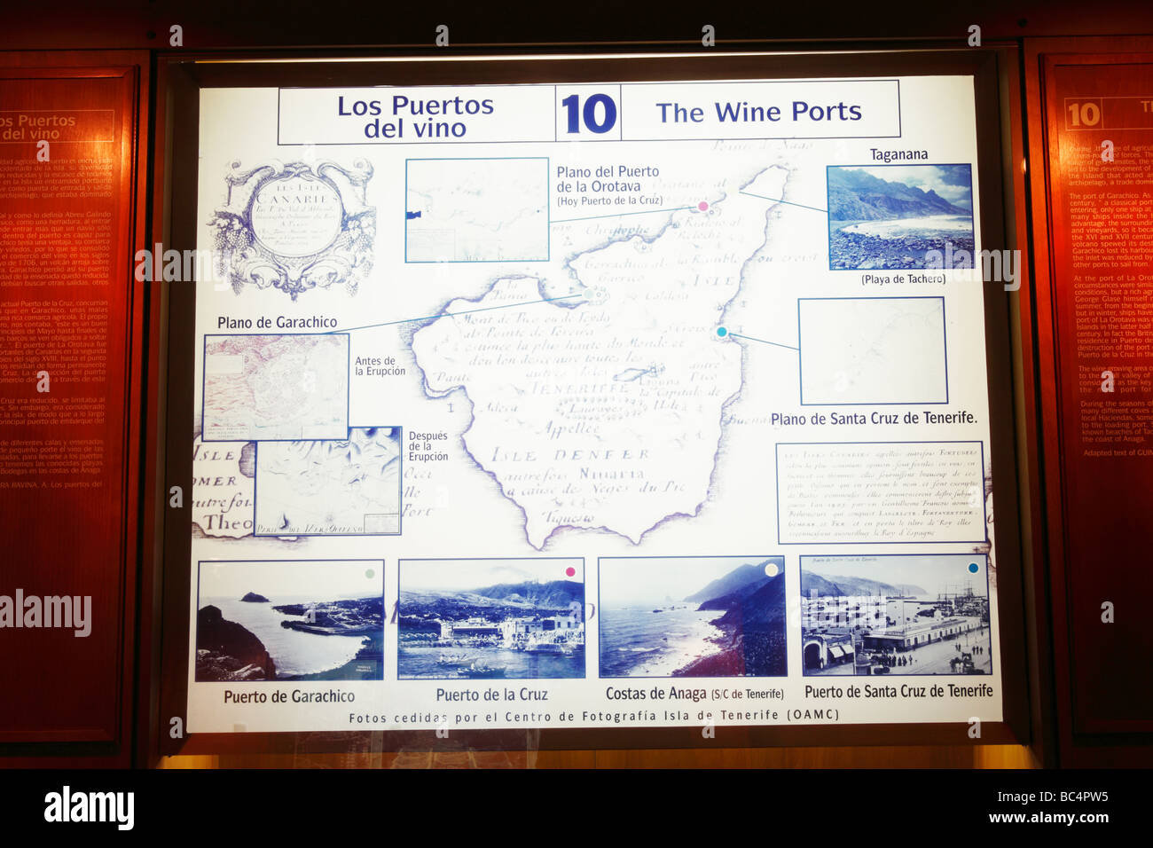 Map showing old wine ports of Tenerife. Museo Casa del Vino (wine museum) at El Sauzal on Tenerife in The Canary Islands Stock Photohttps://www.alamy.com/image-license-details/?v=1https://www.alamy.com/stock-photo-map-showing-old-wine-ports-of-tenerife-museo-casa-del-vino-wine-museum-24692001.html
RMBC4PW5–Map showing old wine ports of Tenerife. Museo Casa del Vino (wine museum) at El Sauzal on Tenerife in The Canary Islands
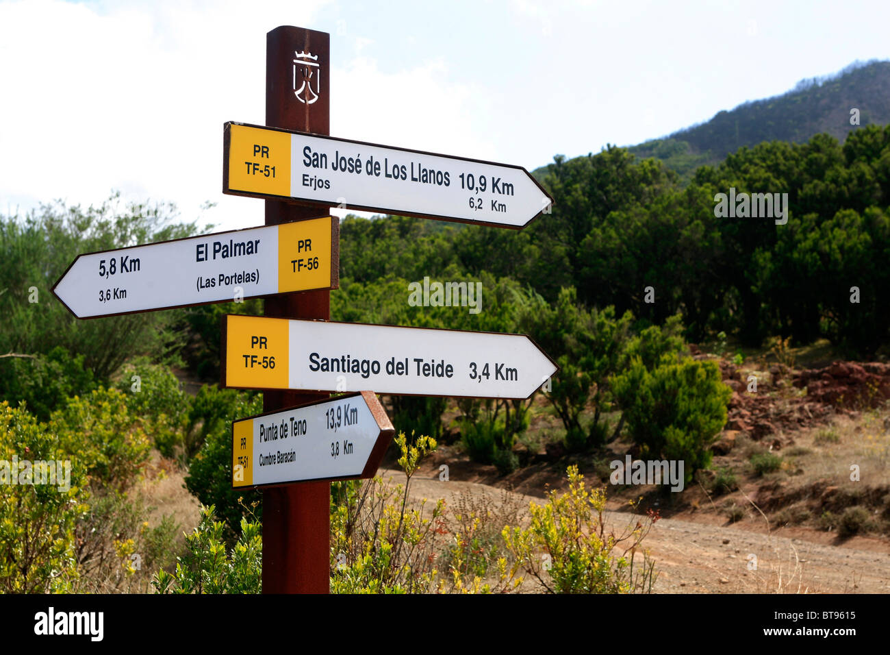 Site map of the hiking area Teno Mountains, Tenerife, Canary Islands, Spain, Europe Stock Photohttps://www.alamy.com/image-license-details/?v=1https://www.alamy.com/stock-photo-site-map-of-the-hiking-area-teno-mountains-tenerife-canary-islands-32164417.html
RFBT9615–Site map of the hiking area Teno Mountains, Tenerife, Canary Islands, Spain, Europe
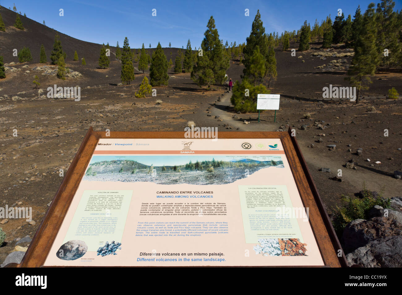 The Samara volcano footpaths, approach to Mount Teide, Tenerife. Information and map board at car park area. Stock Photohttps://www.alamy.com/image-license-details/?v=1https://www.alamy.com/stock-photo-the-samara-volcano-footpaths-approach-to-mount-teide-tenerife-information-41826398.html
RFCC19YX–The Samara volcano footpaths, approach to Mount Teide, Tenerife. Information and map board at car park area.
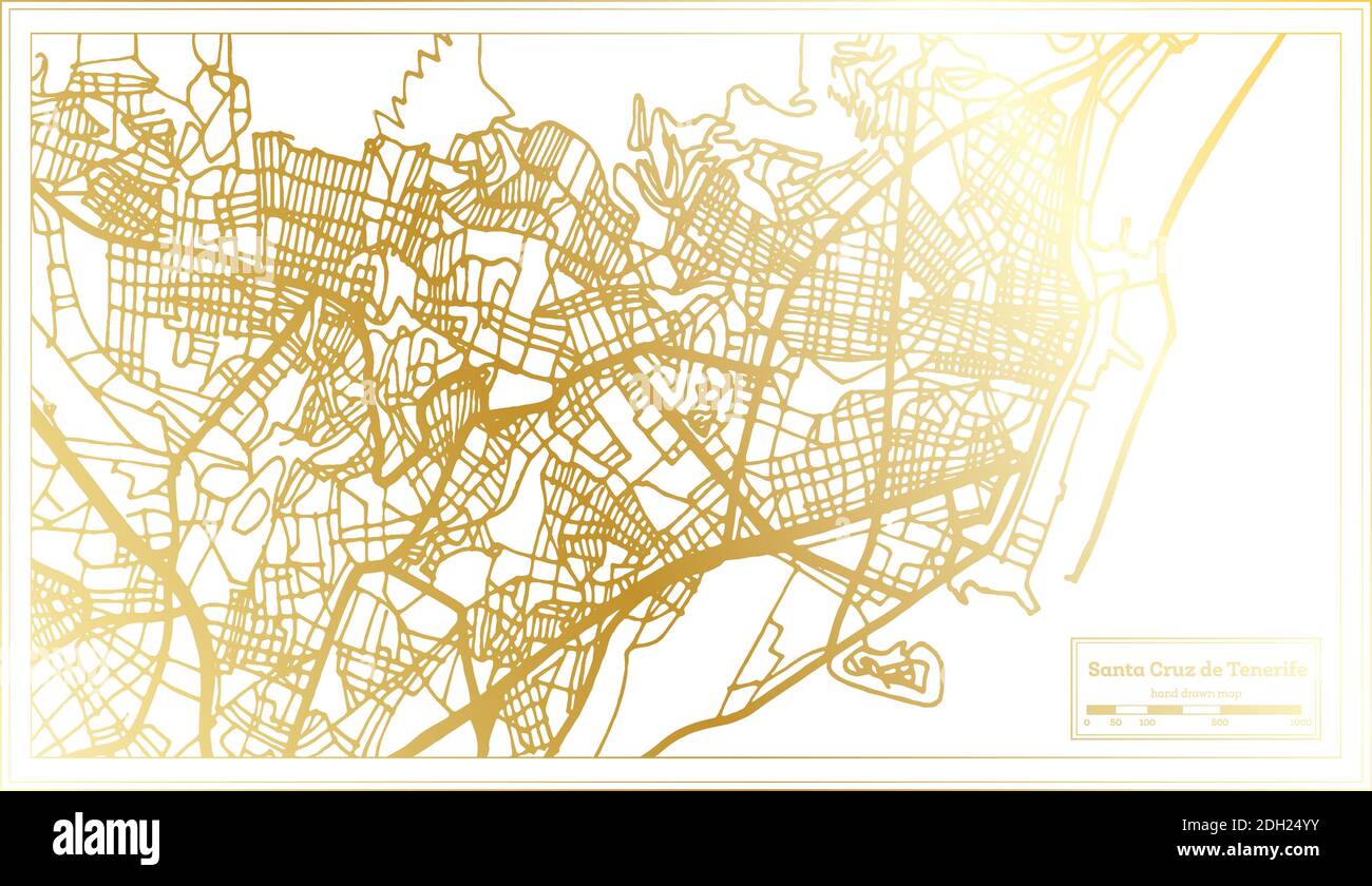 Santa Cruz de Tenerife Spain City Map in Retro Style in Golden Color. Outline Map. Vector Illustration. Stock Vectorhttps://www.alamy.com/image-license-details/?v=1https://www.alamy.com/santa-cruz-de-tenerife-spain-city-map-in-retro-style-in-golden-color-outline-map-vector-illustration-image389125071.html
RF2DH24YY–Santa Cruz de Tenerife Spain City Map in Retro Style in Golden Color. Outline Map. Vector Illustration.
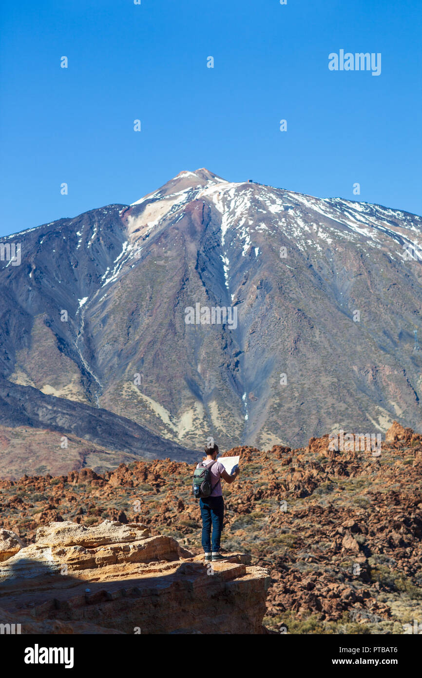 Lost hiker checks map to find directions standing on the edge of rock with volcano El Teide on background. National park of Tenerife, Canary Islands, Stock Photohttps://www.alamy.com/image-license-details/?v=1https://www.alamy.com/lost-hiker-checks-map-to-find-directions-standing-on-the-edge-of-rock-with-volcano-el-teide-on-background-national-park-of-tenerife-canary-islands-image221526150.html
RFPTBAT6–Lost hiker checks map to find directions standing on the edge of rock with volcano El Teide on background. National park of Tenerife, Canary Islands,
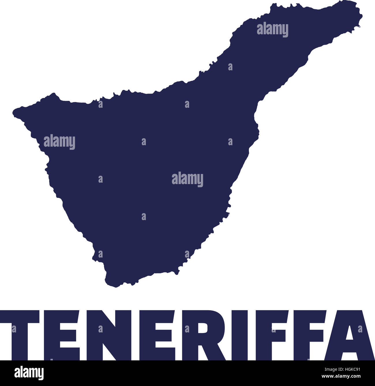 Tenerife canary island Stock Photohttps://www.alamy.com/image-license-details/?v=1https://www.alamy.com/stock-photo-tenerife-canary-island-130733821.html
RFHGKC91–Tenerife canary island
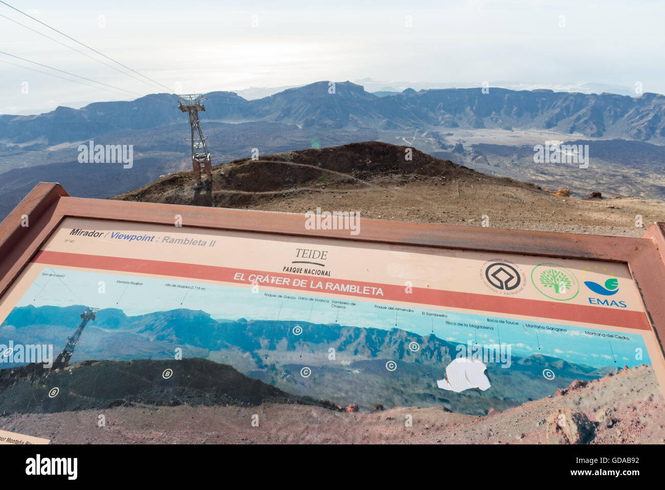 Spain, Canary Islands, Tenerife, hike on the Picp del Teide. The Pico del Teide (Teyde) is with 3718 m the highest elevation on the Canary Island Stock Photohttps://www.alamy.com/image-license-details/?v=1https://www.alamy.com/stock-photo-spain-canary-islands-tenerife-hike-on-the-picp-del-teide-the-pico-111481134.html
RFGDAB92–Spain, Canary Islands, Tenerife, hike on the Picp del Teide. The Pico del Teide (Teyde) is with 3718 m the highest elevation on the Canary Island
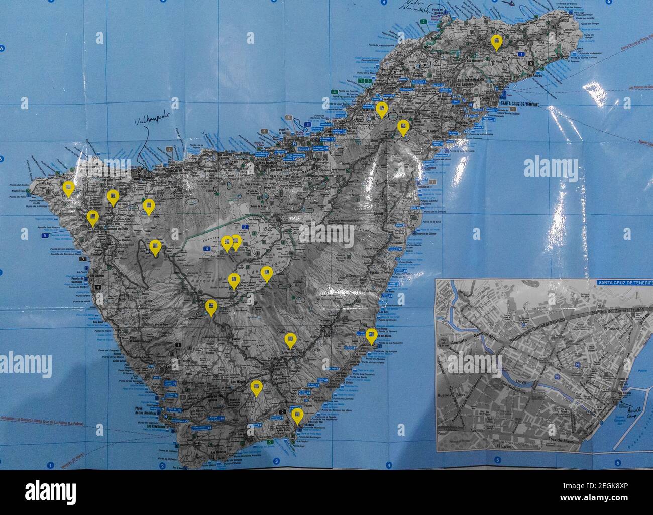 yellow marked blue paper map of island of tenerife Stock Photohttps://www.alamy.com/image-license-details/?v=1https://www.alamy.com/yellow-marked-blue-paper-map-of-island-of-tenerife-image406097070.html
RF2EGK8XP–yellow marked blue paper map of island of tenerife
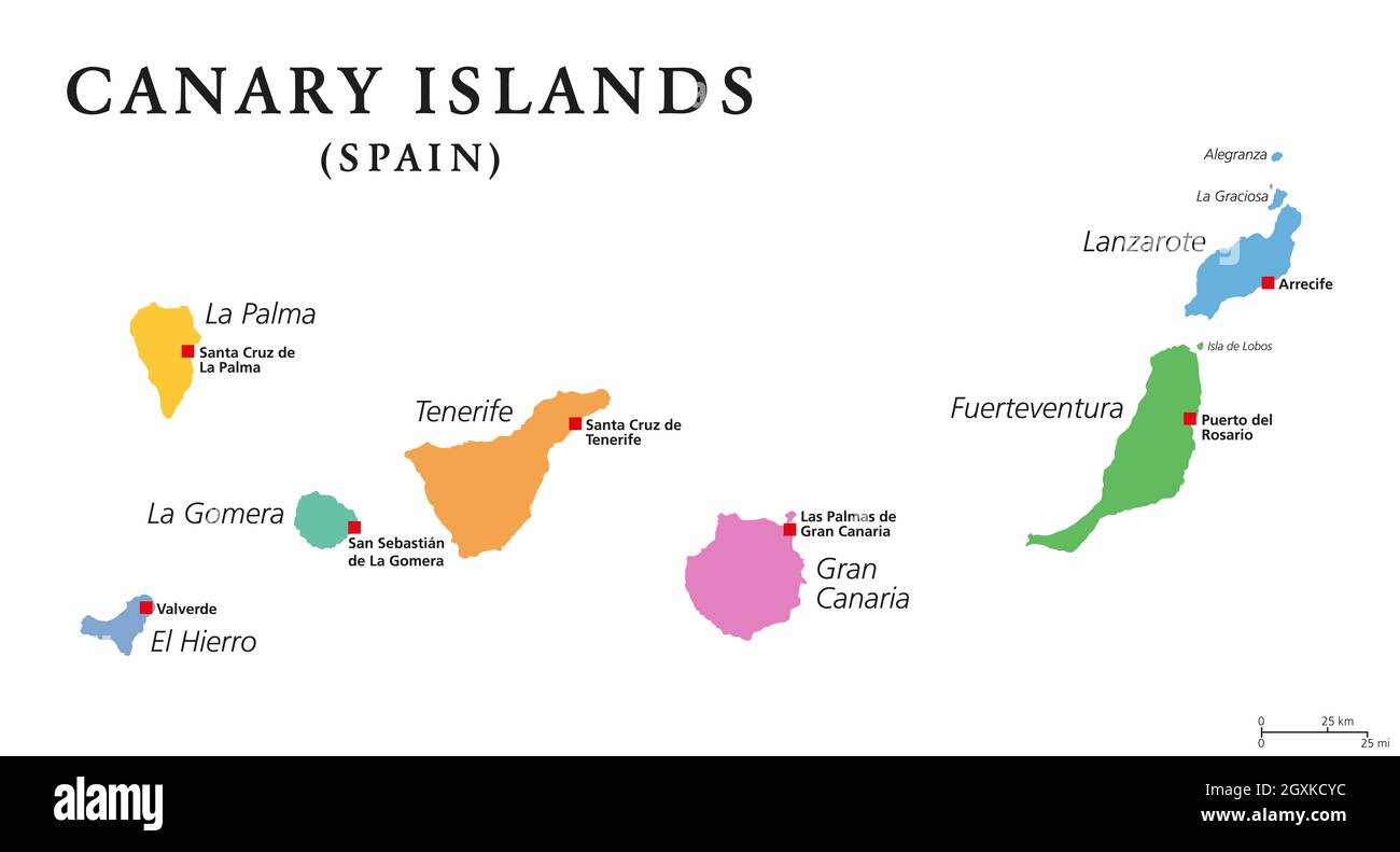 Canary Islands, political map. The Canaries. La Palma, La Gomera, El Hierro, Tenerife, Gran Canaria, Fuerteventura and Lanzarote. Stock Photohttps://www.alamy.com/image-license-details/?v=1https://www.alamy.com/canary-islands-political-map-the-canaries-la-palma-la-gomera-el-hierro-tenerife-gran-canaria-fuerteventura-and-lanzarote-image446667520.html
RF2GXKCYC–Canary Islands, political map. The Canaries. La Palma, La Gomera, El Hierro, Tenerife, Gran Canaria, Fuerteventura and Lanzarote.
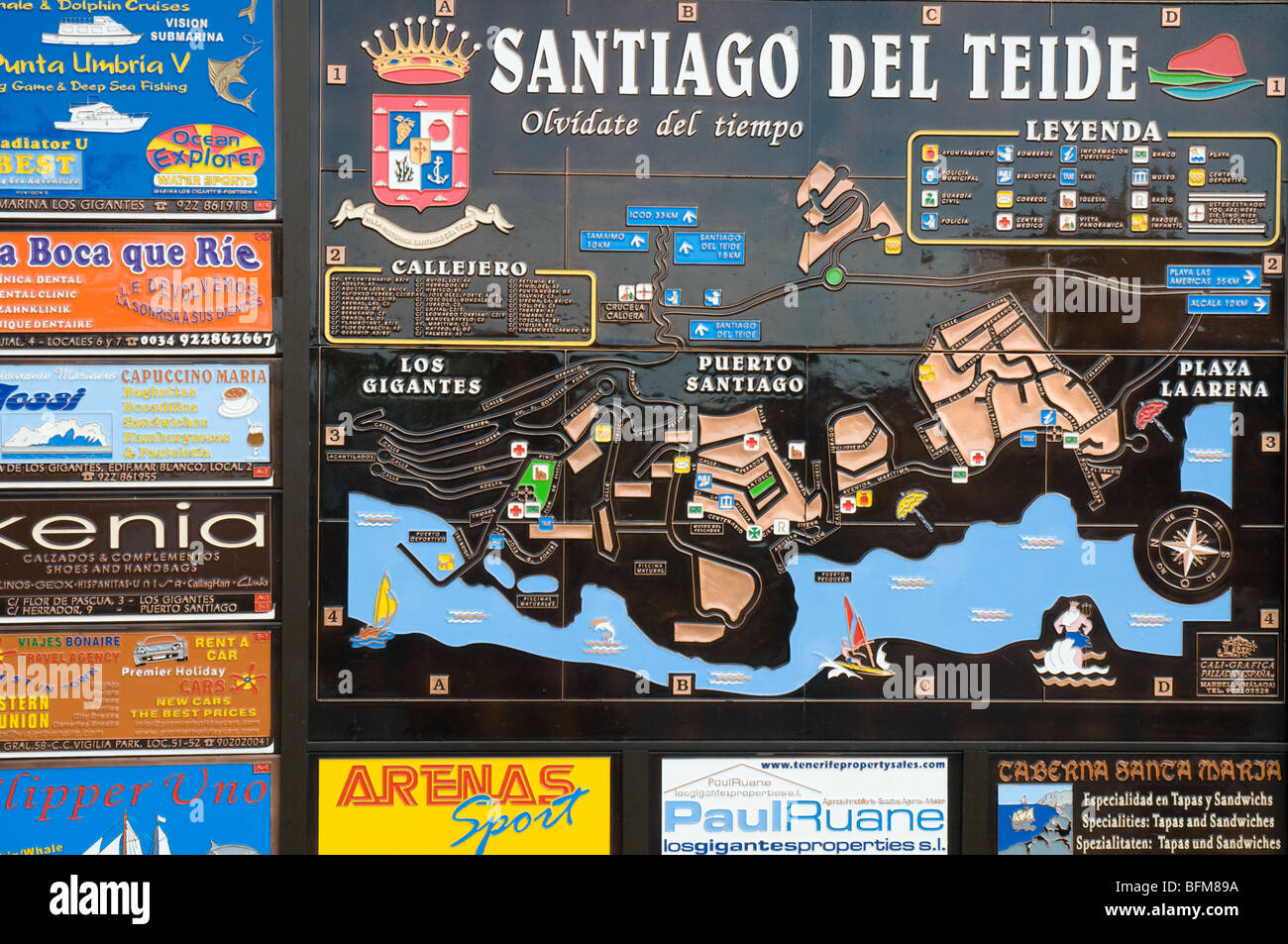 Map of Santiago del Teide for tourists Stock Photohttps://www.alamy.com/image-license-details/?v=1https://www.alamy.com/stock-photo-map-of-santiago-del-teide-for-tourists-26875782.html
RMBFM89A–Map of Santiago del Teide for tourists
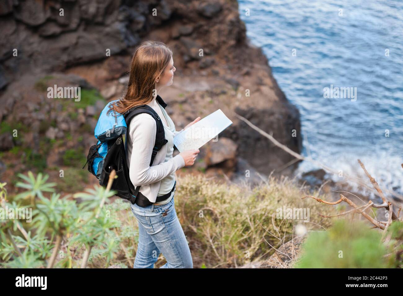 Female hiker with map on viewpoint, Tenerife, Balearic Islands, Spain Stock Photohttps://www.alamy.com/image-license-details/?v=1https://www.alamy.com/female-hiker-with-map-on-viewpoint-tenerife-balearic-islands-spain-image363966347.html
RF2C442P3–Female hiker with map on viewpoint, Tenerife, Balearic Islands, Spain
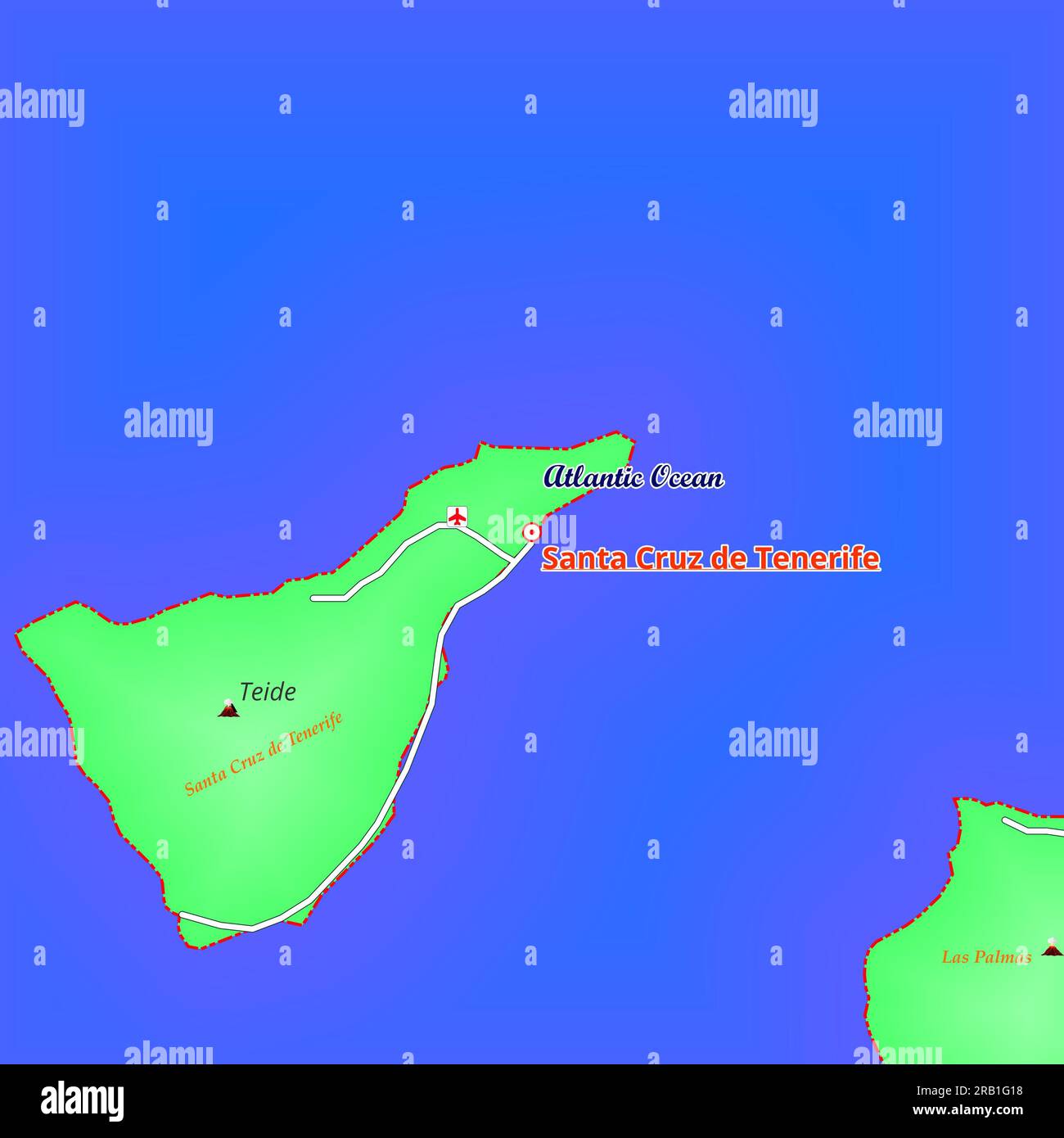 Map of Santa Cruz de Tenerife City in Spain Stock Photohttps://www.alamy.com/image-license-details/?v=1https://www.alamy.com/map-of-santa-cruz-de-tenerife-city-in-spain-image557527524.html
RF2RB1G18–Map of Santa Cruz de Tenerife City in Spain
 Tenerife Island in the North Atlantic Ocean on a colored elevation map Stock Photohttps://www.alamy.com/image-license-details/?v=1https://www.alamy.com/tenerife-island-in-the-north-atlantic-ocean-on-a-colored-elevation-map-image619523422.html
RF2XYWMCE–Tenerife Island in the North Atlantic Ocean on a colored elevation map
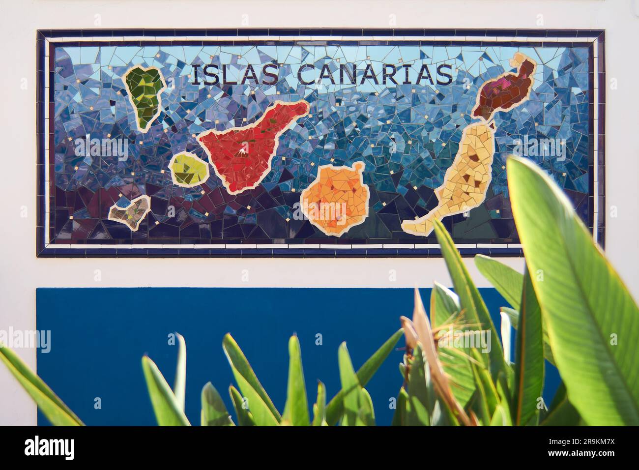 Tenerife, Spain - June 27, 2023: Map of the Canary Islands made with multicolored. Stock Photohttps://www.alamy.com/image-license-details/?v=1https://www.alamy.com/tenerife-spain-june-27-2023-map-of-the-canary-islands-made-with-multicolored-image556696670.html
RF2R9KM7X–Tenerife, Spain - June 27, 2023: Map of the Canary Islands made with multicolored.
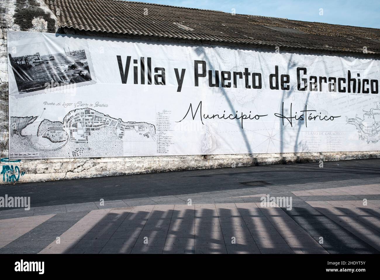 Large vinyl poster with map and historical information in the town of Garachico, Tenerife, Canary Islands, Spain Stock Photohttps://www.alamy.com/image-license-details/?v=1https://www.alamy.com/large-vinyl-poster-with-map-and-historical-information-in-the-town-of-garachico-tenerife-canary-islands-spain-image456071783.html
RM2HDYT5Y–Large vinyl poster with map and historical information in the town of Garachico, Tenerife, Canary Islands, Spain
 Symbol Map of the Provincia Santa Cruz de Tenerife (Spain) showing the state/province with a pattern of black circles Stock Vectorhttps://www.alamy.com/image-license-details/?v=1https://www.alamy.com/symbol-map-of-the-provincia-santa-cruz-de-tenerife-spain-showing-the-stateprovince-with-a-pattern-of-black-circles-image612956182.html
RF2XH6FT6–Symbol Map of the Provincia Santa Cruz de Tenerife (Spain) showing the state/province with a pattern of black circles
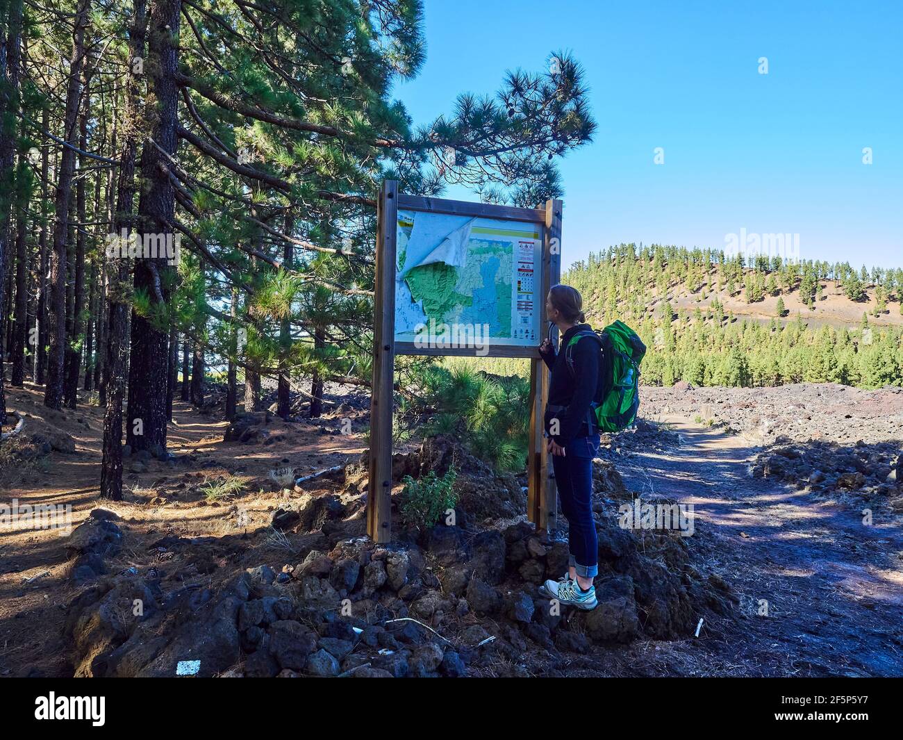 Young caucasian woman standing at a map of a hiking trail in a volcanic landscape with lava rocks of El Teide on Tenerife, Canary Islands, Spain Stock Photohttps://www.alamy.com/image-license-details/?v=1https://www.alamy.com/young-caucasian-woman-standing-at-a-map-of-a-hiking-trail-in-a-volcanic-landscape-with-lava-rocks-of-el-teide-on-tenerife-canary-islands-spain-image416609739.html
RF2F5P5Y7–Young caucasian woman standing at a map of a hiking trail in a volcanic landscape with lava rocks of El Teide on Tenerife, Canary Islands, Spain
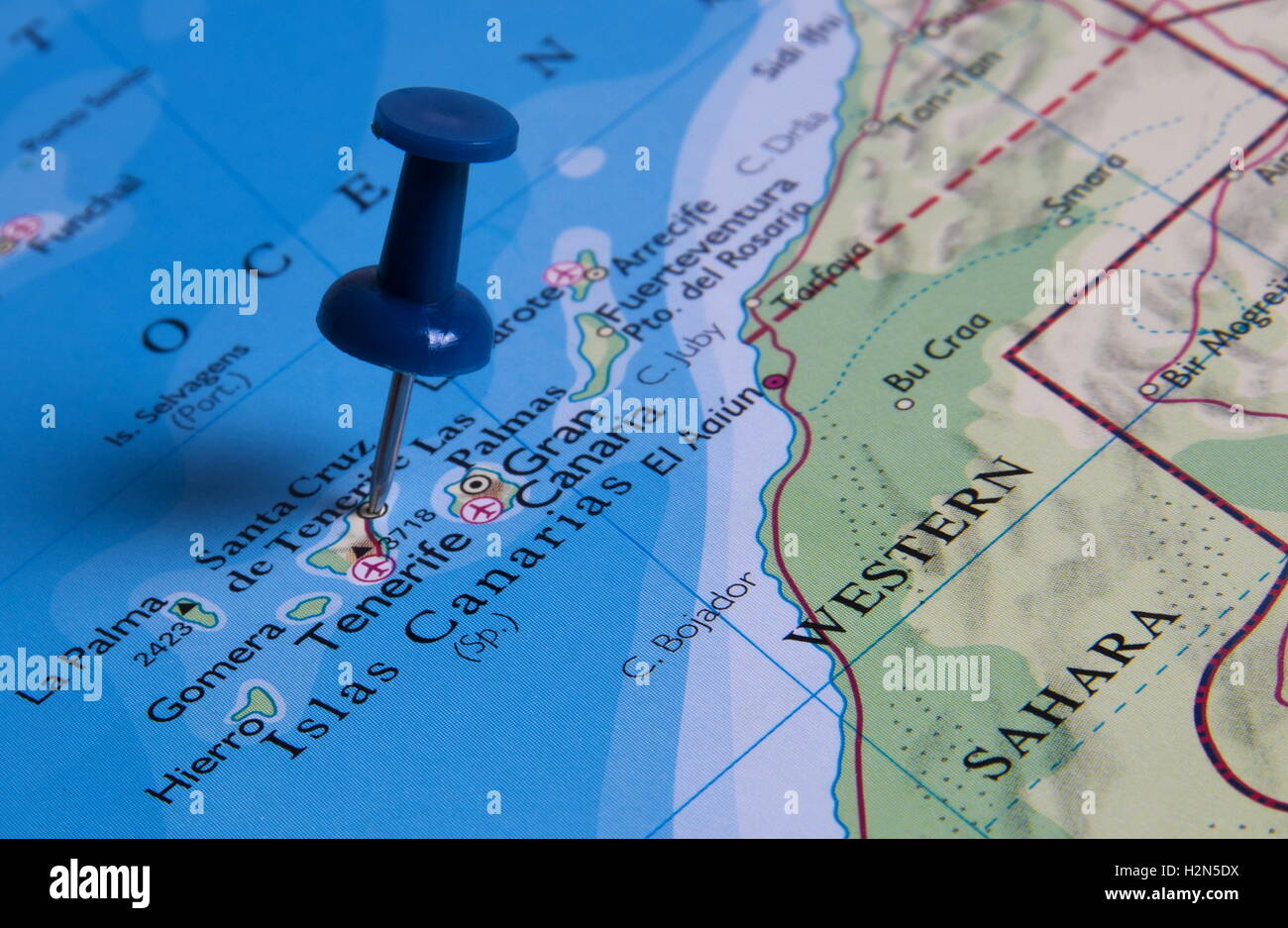 Tenerife in the map with pin Stock Photohttps://www.alamy.com/image-license-details/?v=1https://www.alamy.com/stock-photo-tenerife-in-the-map-with-pin-122167190.html
RFH2N5DX–Tenerife in the map with pin
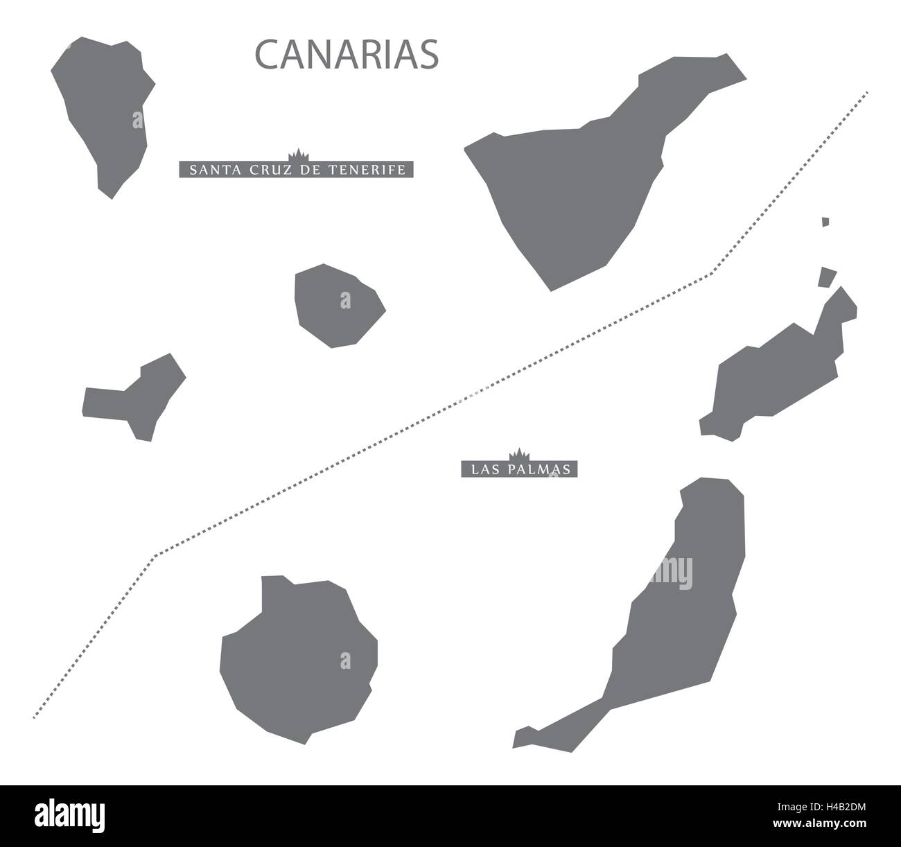 Canarias Spain Map in grey Stock Vectorhttps://www.alamy.com/image-license-details/?v=1https://www.alamy.com/stock-photo-canarias-spain-map-in-grey-123174624.html
RFH4B2DM–Canarias Spain Map in grey
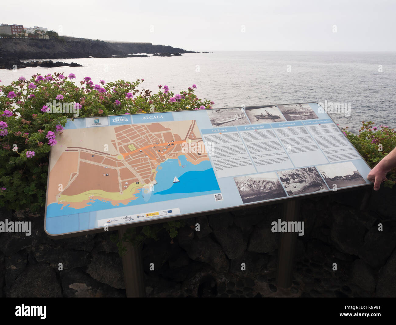 Information board and town map along the coastal promenade in Alcala Tenerife Spain, Stock Photohttps://www.alamy.com/image-license-details/?v=1https://www.alamy.com/stock-photo-information-board-and-town-map-along-the-coastal-promenade-in-alcala-97913252.html
RMFK899T–Information board and town map along the coastal promenade in Alcala Tenerife Spain,
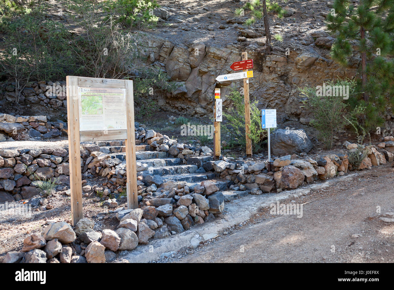 Information road signs and map are on the intermediate point of hiking trail with direction to La Esperanza and Lunar landscape. Tenerife, Canary isla Stock Photohttps://www.alamy.com/image-license-details/?v=1https://www.alamy.com/stock-photo-information-road-signs-and-map-are-on-the-intermediate-point-of-hiking-138002282.html
RFJ0EF8X–Information road signs and map are on the intermediate point of hiking trail with direction to La Esperanza and Lunar landscape. Tenerife, Canary isla
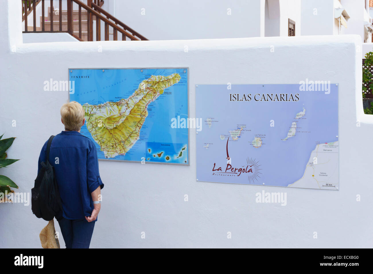 Tenerife - Puerto Santiago. Tourist studying map. Stock Photohttps://www.alamy.com/image-license-details/?v=1https://www.alamy.com/stock-photo-tenerife-puerto-santiago-tourist-studying-map-76797168.html
RFECXBG0–Tenerife - Puerto Santiago. Tourist studying map.
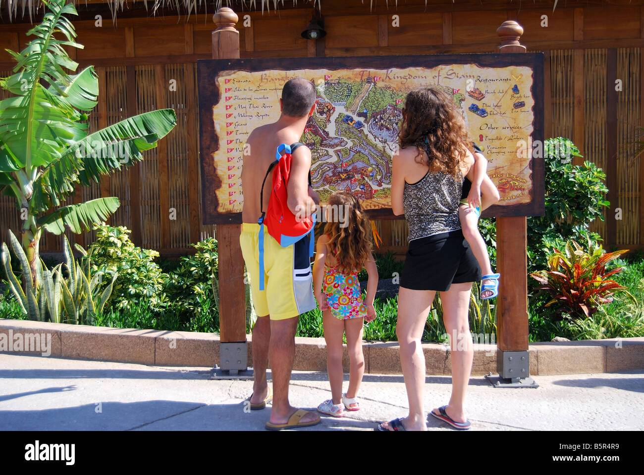 Family looking at park map, Siam Park Water Kingdom Theme Park, Costa Adeje, Tenerife, Canary Islands, Spain Stock Photohttps://www.alamy.com/image-license-details/?v=1https://www.alamy.com/stock-photo-family-looking-at-park-map-siam-park-water-kingdom-theme-park-costa-20792333.html
RMB5R4R9–Family looking at park map, Siam Park Water Kingdom Theme Park, Costa Adeje, Tenerife, Canary Islands, Spain
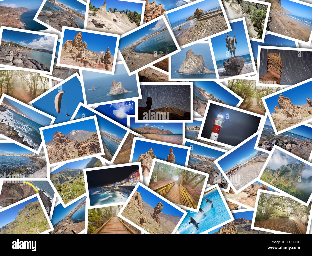 A collage of my best travel photos of Tenerife, Canary Island, Spain. Version 2 Stock Photohttps://www.alamy.com/image-license-details/?v=1https://www.alamy.com/stock-photo-a-collage-of-my-best-travel-photos-of-tenerife-canary-island-spain-96997754.html
RFFHPHHE–A collage of my best travel photos of Tenerife, Canary Island, Spain. Version 2
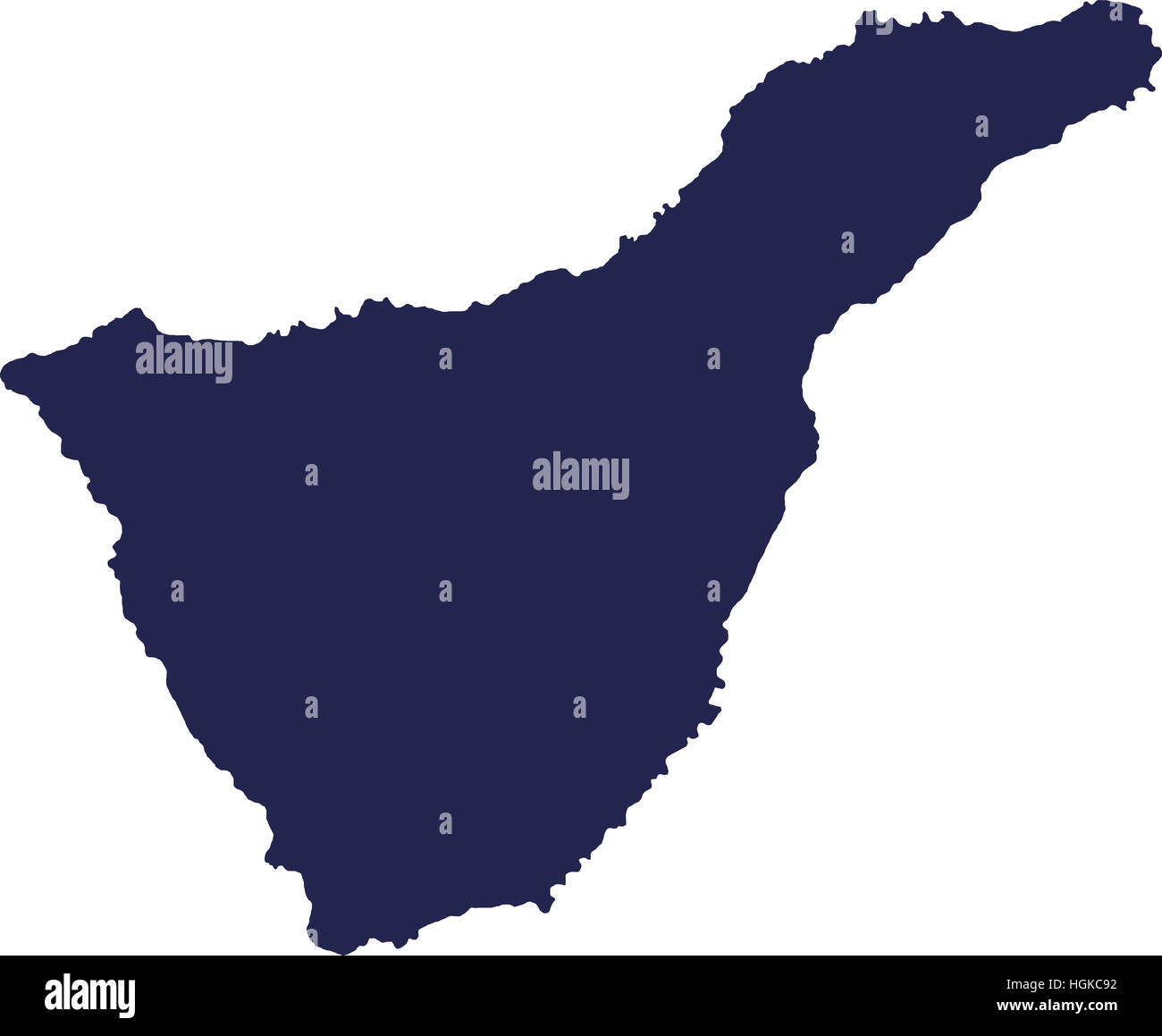 Tenerife canary island Stock Photohttps://www.alamy.com/image-license-details/?v=1https://www.alamy.com/stock-photo-tenerife-canary-island-130733822.html
RFHGKC92–Tenerife canary island
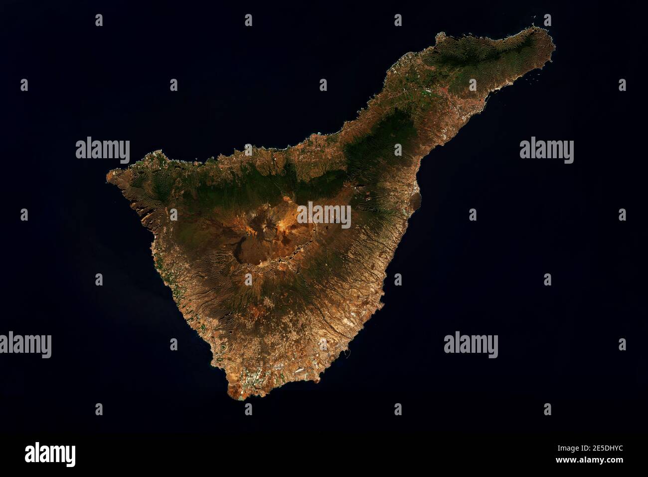 High resolution satellite image of Tenerife, Canary Islands, Spain - contains modified Copernicus Sentinel Data (2020) Stock Photohttps://www.alamy.com/image-license-details/?v=1https://www.alamy.com/high-resolution-satellite-image-of-tenerife-canary-islands-spain-contains-modified-copernicus-sentinel-data-2020-image399211216.html
RF2E5DHYC–High resolution satellite image of Tenerife, Canary Islands, Spain - contains modified Copernicus Sentinel Data (2020)
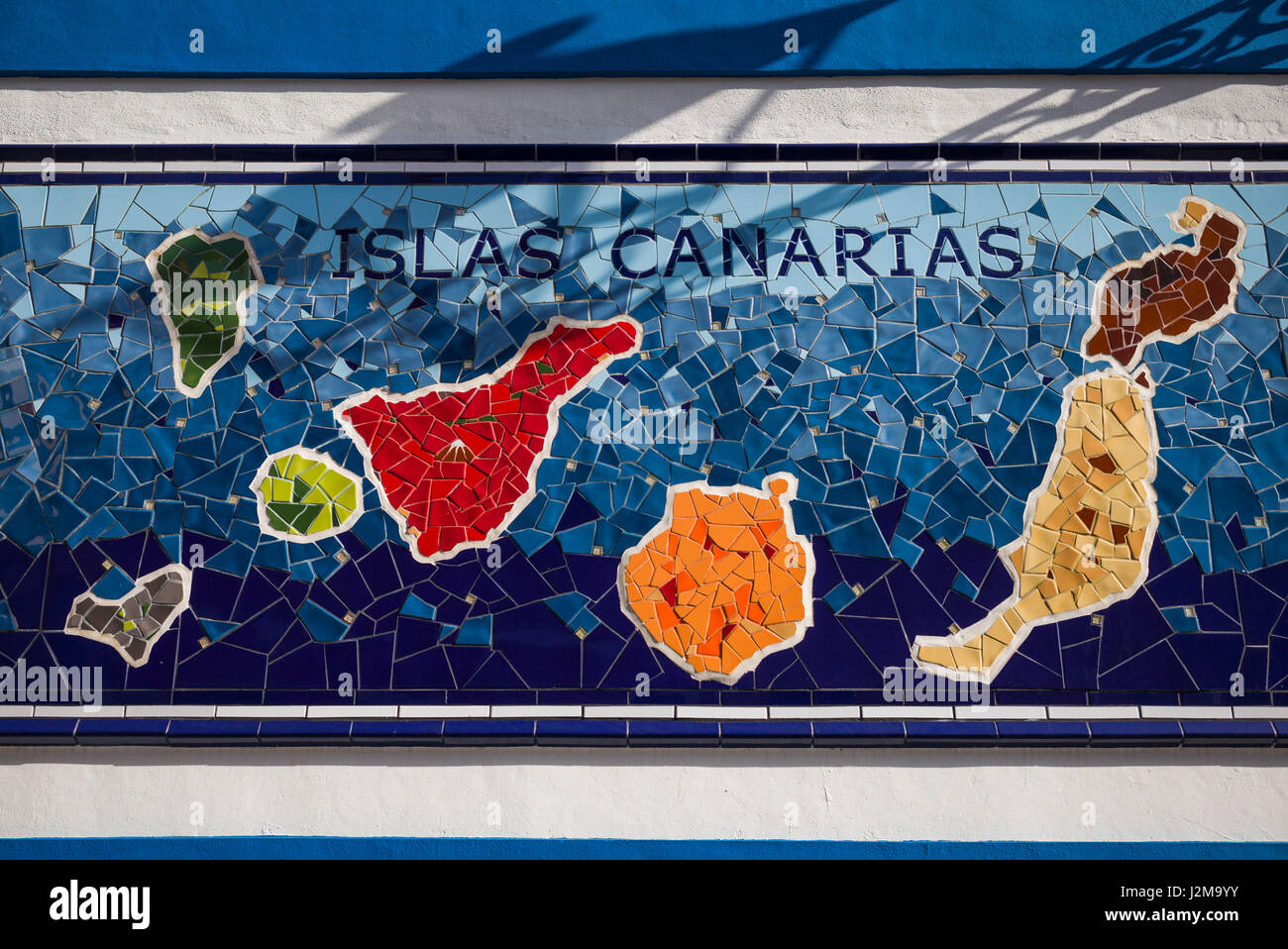 Spain, Canary Islands, Tenerife, Puerto de la Cruz, mural with Canary Islands map Stock Photohttps://www.alamy.com/image-license-details/?v=1https://www.alamy.com/stock-photo-spain-canary-islands-tenerife-puerto-de-la-cruz-mural-with-canary-139359135.html
RMJ2M9YY–Spain, Canary Islands, Tenerife, Puerto de la Cruz, mural with Canary Islands map
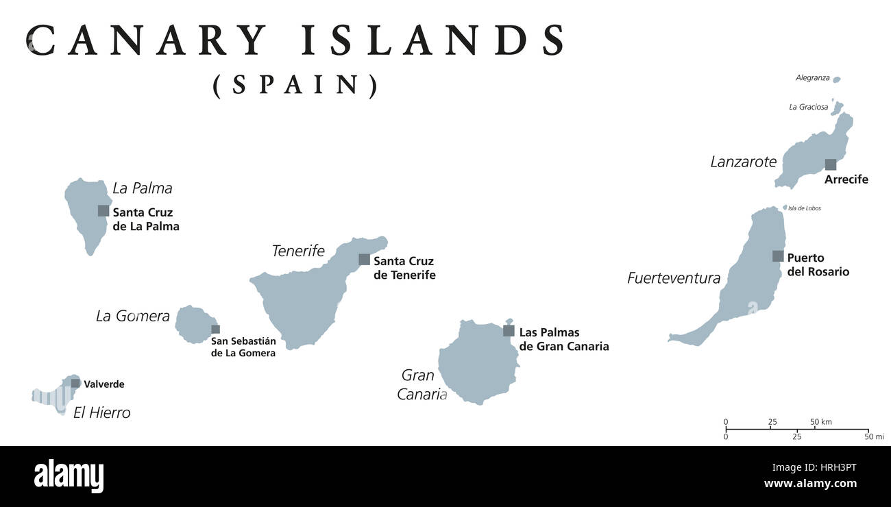 Canary Islands political map with capitals Las Palmas and Santa Cruz. The Canaries are an archipelago and autonomous community of Spain. Stock Photohttps://www.alamy.com/image-license-details/?v=1https://www.alamy.com/stock-photo-canary-islands-political-map-with-capitals-las-palmas-and-santa-cruz-134985840.html
RFHRH3PT–Canary Islands political map with capitals Las Palmas and Santa Cruz. The Canaries are an archipelago and autonomous community of Spain.
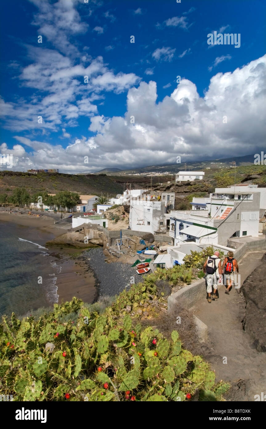 El Puertito de Adeje village beach and walkers Playa Paraiso Southern Tenerife Canary Islands Spain Stock Photohttps://www.alamy.com/image-license-details/?v=1https://www.alamy.com/stock-photo-el-puertito-de-adeje-village-beach-and-walkers-playa-paraiso-southern-22665403.html
RMB8TDXK–El Puertito de Adeje village beach and walkers Playa Paraiso Southern Tenerife Canary Islands Spain
 Atlantic Ocean in Tenerife, Spain Stock Photohttps://www.alamy.com/image-license-details/?v=1https://www.alamy.com/atlantic-ocean-in-tenerife-spain-image339765432.html
RF2AMNJ7M–Atlantic Ocean in Tenerife, Spain
 Smiling man pointing at map by girlfriend at beach Stock Photohttps://www.alamy.com/image-license-details/?v=1https://www.alamy.com/smiling-man-pointing-at-map-by-girlfriend-at-beach-image449171129.html
RF2H2NEA1–Smiling man pointing at map by girlfriend at beach
 Tenerife Island in the North Atlantic Ocean, belonging to Spain, cropped to square on a bilevel elevation map Stock Photohttps://www.alamy.com/image-license-details/?v=1https://www.alamy.com/tenerife-island-in-the-north-atlantic-ocean-belonging-to-spain-cropped-to-square-on-a-bilevel-elevation-map-image620371420.html
RF2Y18A24–Tenerife Island in the North Atlantic Ocean, belonging to Spain, cropped to square on a bilevel elevation map
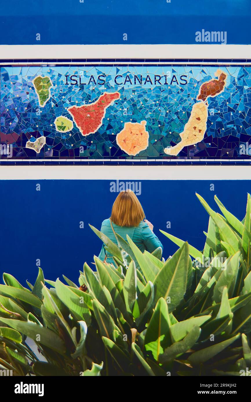 Tenerife, Spain - June 27, 2023: Unrecognizable woman looking at a map of the Canary Islands. Stock Photohttps://www.alamy.com/image-license-details/?v=1https://www.alamy.com/tenerife-spain-june-27-2023-unrecognizable-woman-looking-at-a-map-of-the-canary-islands-image556695358.html
RF2R9KJH2–Tenerife, Spain - June 27, 2023: Unrecognizable woman looking at a map of the Canary Islands.
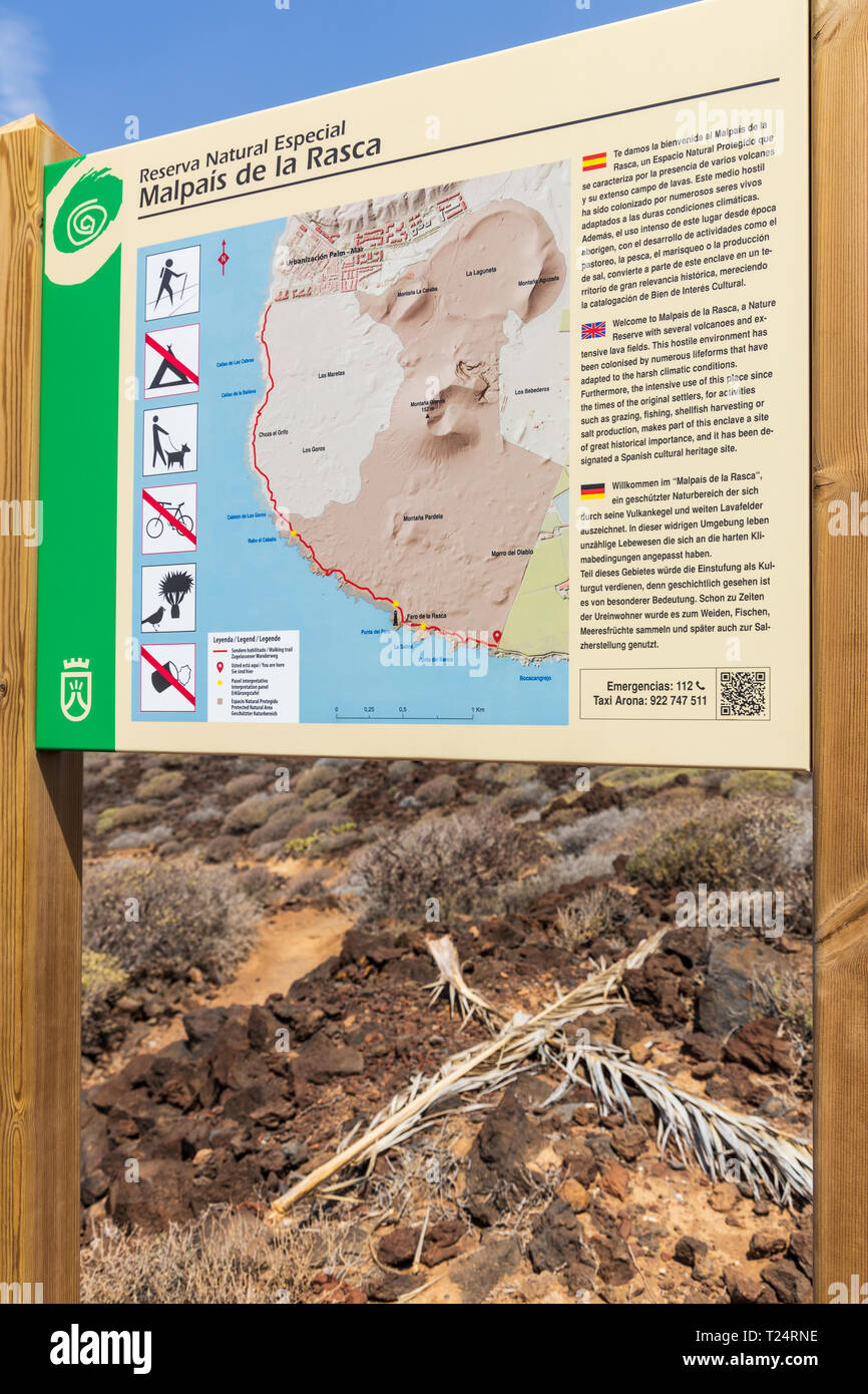 Multilingual information sign with map in the Malpais de la Rasca, Palm Mar, Tenerife, Canary Islands, Spain Stock Photohttps://www.alamy.com/image-license-details/?v=1https://www.alamy.com/multilingual-information-sign-with-map-in-the-malpais-de-la-rasca-palm-mar-tenerife-canary-islands-spain-image242280906.html
RMT24RNE–Multilingual information sign with map in the Malpais de la Rasca, Palm Mar, Tenerife, Canary Islands, Spain
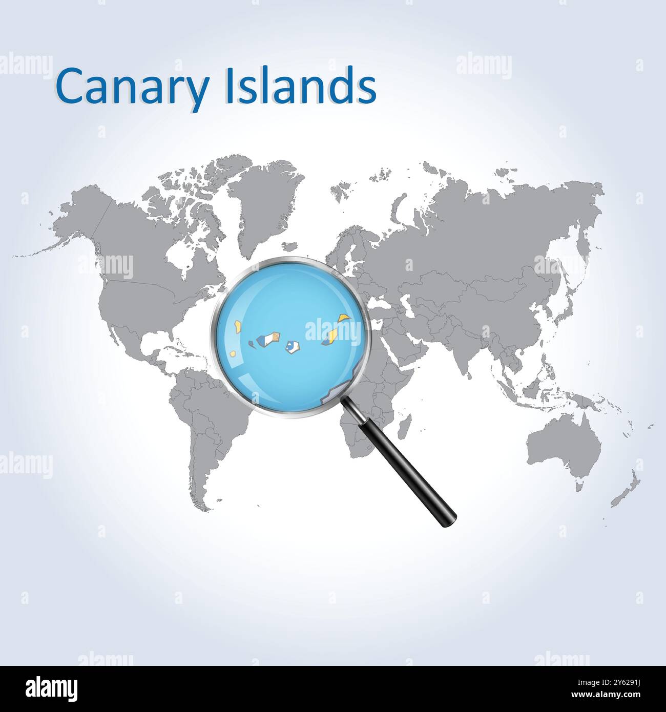 The Canary Islands Magnified Map and Flag, Canary Islands Enlargement Maps, Stock Vectorhttps://www.alamy.com/image-license-details/?v=1https://www.alamy.com/the-canary-islands-magnified-map-and-flag-canary-islands-enlargement-maps-image623312190.html
RF2Y6291J–The Canary Islands Magnified Map and Flag, Canary Islands Enlargement Maps,
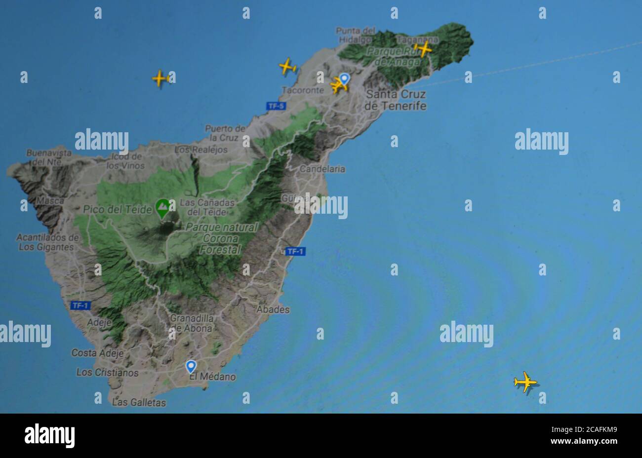 air traffic over Tenerife island, (29 july 2020, UTC 19.07) on Internet with Flightradar 24 site, during the Coronavirus Pandemic period Stock Photohttps://www.alamy.com/image-license-details/?v=1https://www.alamy.com/air-traffic-over-tenerife-island-29-july-2020-utc-1907-on-internet-with-flightradar-24-site-during-the-coronavirus-pandemic-period-image367909033.html
RM2CAFKM9–air traffic over Tenerife island, (29 july 2020, UTC 19.07) on Internet with Flightradar 24 site, during the Coronavirus Pandemic period
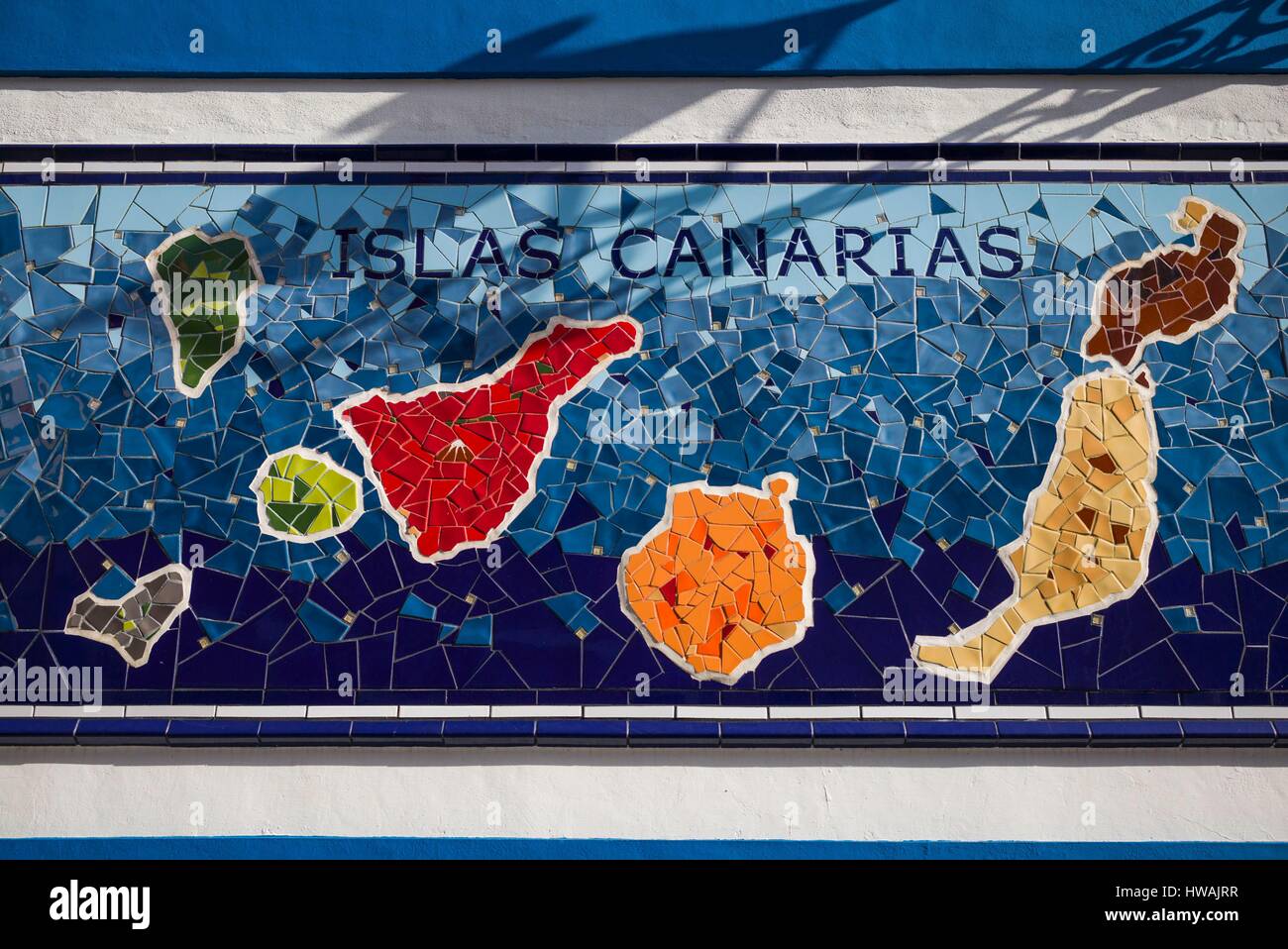 Spain, Canary Islands, Tenerife, Puerto de la Cruz, mural with Canary Islands map Stock Photohttps://www.alamy.com/image-license-details/?v=1https://www.alamy.com/stock-photo-spain-canary-islands-tenerife-puerto-de-la-cruz-mural-with-canary-136073275.html
RFHWAJRR–Spain, Canary Islands, Tenerife, Puerto de la Cruz, mural with Canary Islands map
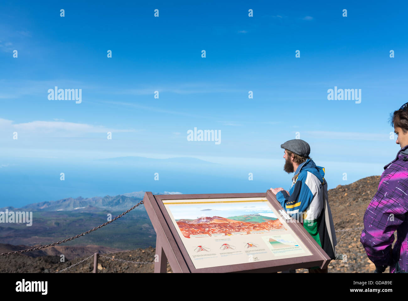 Spain, Canary Islands, Tenerife, hike on the Picp del Teide. The Pico del Teide (Teyde) is with 3718 m the highest elevation on the Canary Island Stock Photohttps://www.alamy.com/image-license-details/?v=1https://www.alamy.com/stock-photo-spain-canary-islands-tenerife-hike-on-the-picp-del-teide-the-pico-111481146.html
RMGDAB9E–Spain, Canary Islands, Tenerife, hike on the Picp del Teide. The Pico del Teide (Teyde) is with 3718 m the highest elevation on the Canary Island
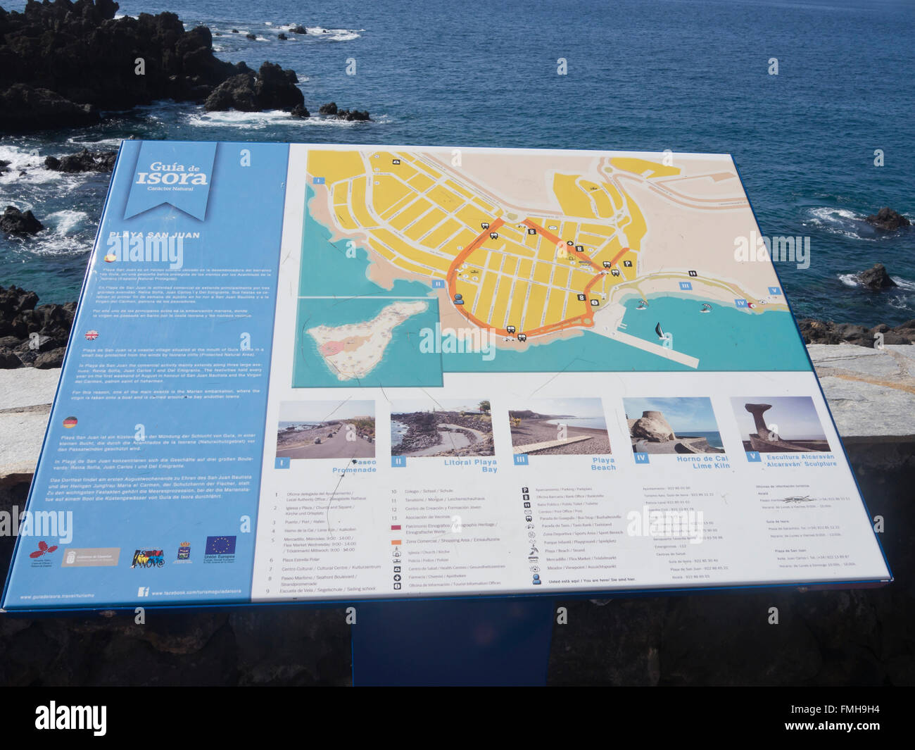 Information board and street map on the seaside promenade in Playa San Juan, Tenerife Canary Islands Spain Stock Photohttps://www.alamy.com/image-license-details/?v=1https://www.alamy.com/stock-photo-information-board-and-street-map-on-the-seaside-promenade-in-playa-98725680.html
RMFMH9H4–Information board and street map on the seaside promenade in Playa San Juan, Tenerife Canary Islands Spain
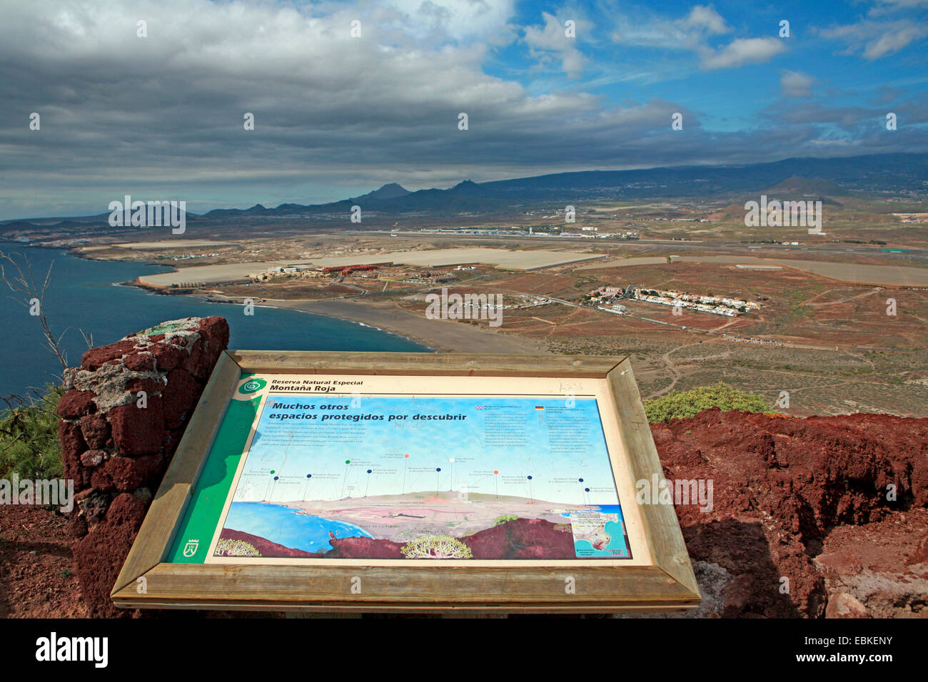 view from Montana Rocha to Playa de la Tejita, Tenerife South Airport in background, Canary Islands, Tenerife, El Medano Stock Photohttps://www.alamy.com/image-license-details/?v=1https://www.alamy.com/stock-photo-view-from-montana-rocha-to-playa-de-la-tejita-tenerife-south-airport-76031367.html
RMEBKENY–view from Montana Rocha to Playa de la Tejita, Tenerife South Airport in background, Canary Islands, Tenerife, El Medano
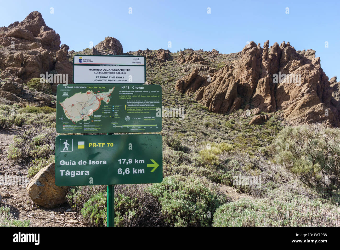 Tenerife, Canary Islands - Mount Teide national park. At Juan Evora visitor centre. Interpretation sign and walking route guide. Stock Photohttps://www.alamy.com/image-license-details/?v=1https://www.alamy.com/stock-photo-tenerife-canary-islands-mount-teide-national-park-at-juan-evora-visitor-92742812.html
RFFATPB8–Tenerife, Canary Islands - Mount Teide national park. At Juan Evora visitor centre. Interpretation sign and walking route guide.
RFG3NYC6–Kingdom of Spain isolated maps and official flag icon. vector Spanish political map icons with general information. EU geographi
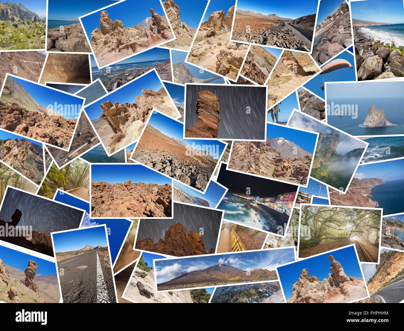 A collage of my best travel photos of Tenerife, Canary Island, Spain. Version 1 Stock Photohttps://www.alamy.com/image-license-details/?v=1https://www.alamy.com/stock-photo-a-collage-of-my-best-travel-photos-of-tenerife-canary-island-spain-96997760.html
RFFHPHHM–A collage of my best travel photos of Tenerife, Canary Island, Spain. Version 1
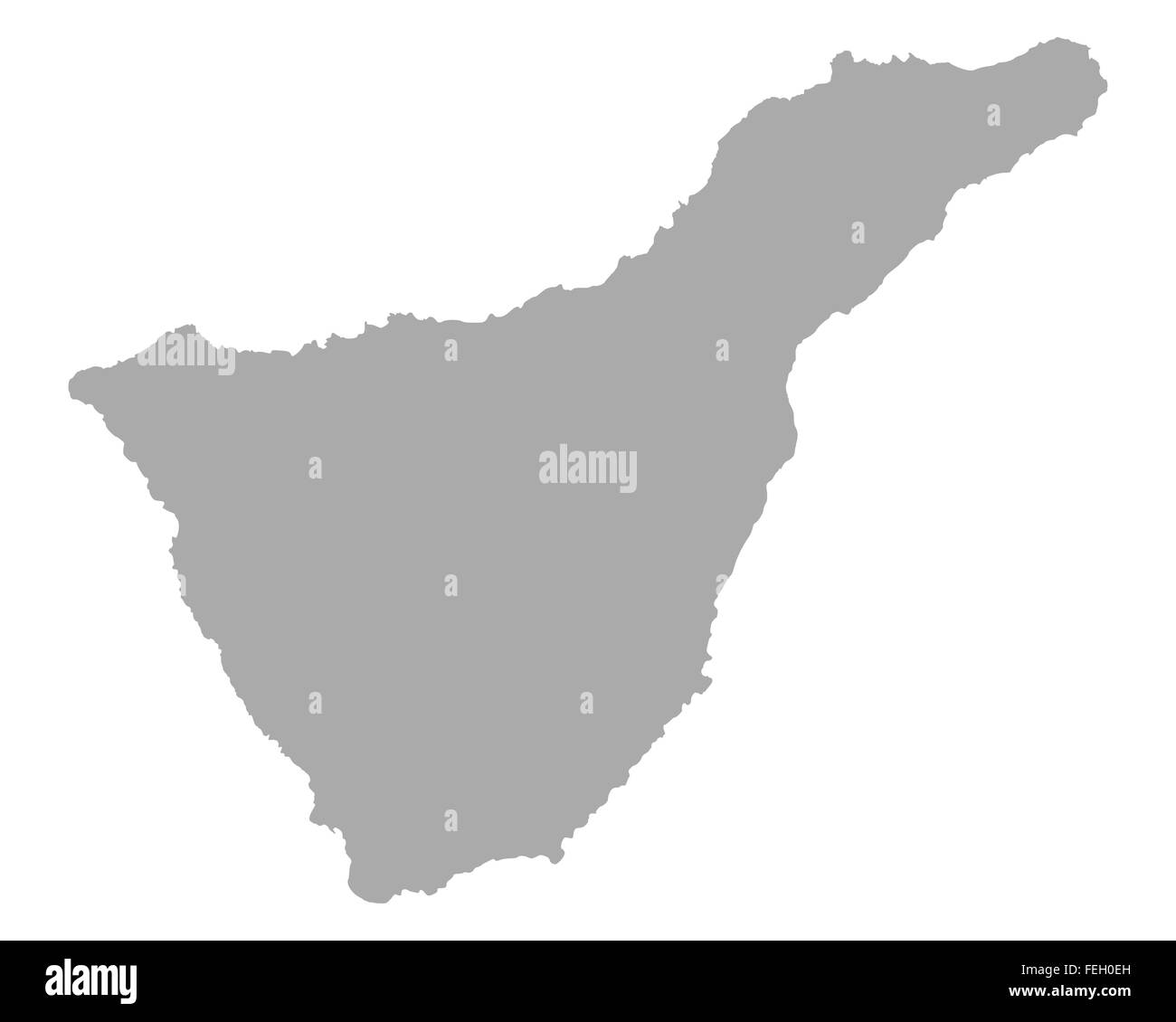 Map of Tenerife Stock Photohttps://www.alamy.com/image-license-details/?v=1https://www.alamy.com/stock-photo-map-of-tenerife-95030617.html
RFFEH0EH–Map of Tenerife
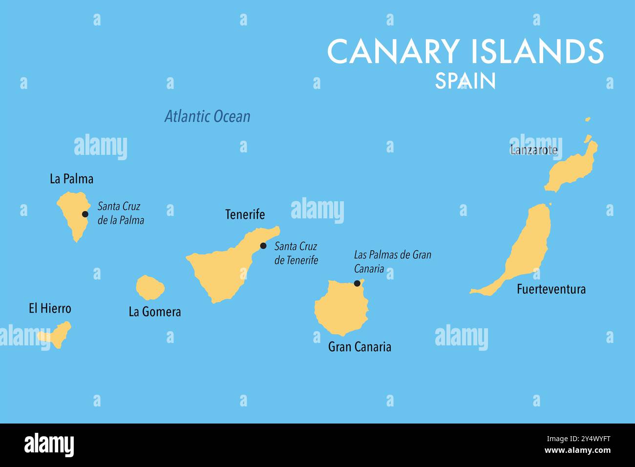 Map of the Canary Islands of Spain Stock Photohttps://www.alamy.com/image-license-details/?v=1https://www.alamy.com/map-of-the-canary-islands-of-spain-image622602284.html
RF2Y4WYFT–Map of the Canary Islands of Spain
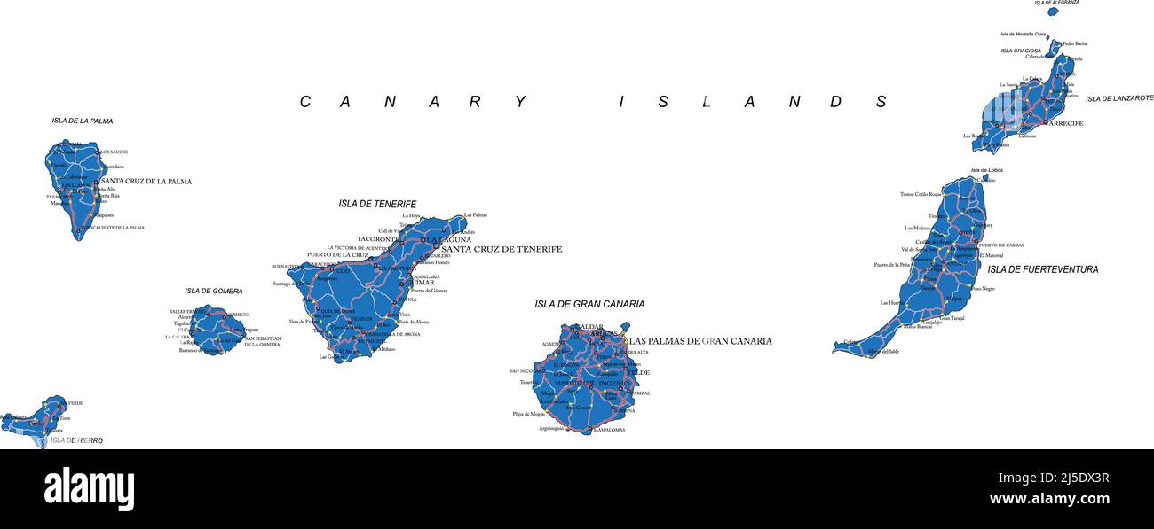 Highly detailed vector map of Canary Islands with administrative regions, main cities and roads. Stock Vectorhttps://www.alamy.com/image-license-details/?v=1https://www.alamy.com/highly-detailed-vector-map-of-canary-islands-with-administrative-regions-main-cities-and-roads-image468059083.html
RF2J5DX3R–Highly detailed vector map of Canary Islands with administrative regions, main cities and roads.
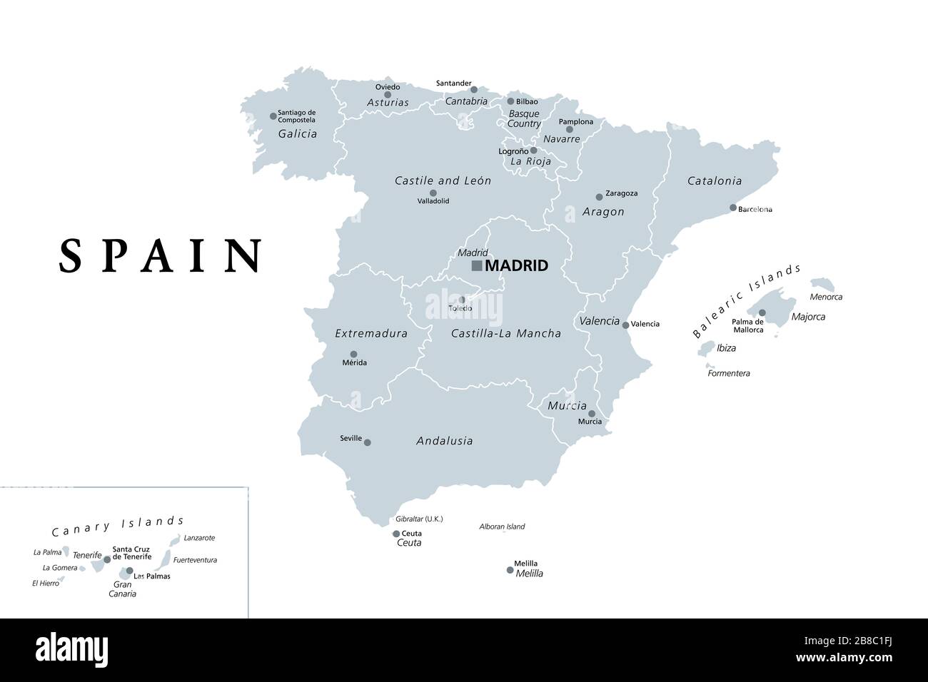 Spain, gray political map with administrative divisions. Kingdom of Spain with the capital Madrid, the autonomous communities, borders and capitals. Stock Photohttps://www.alamy.com/image-license-details/?v=1https://www.alamy.com/spain-gray-political-map-with-administrative-divisions-kingdom-of-spain-with-the-capital-madrid-the-autonomous-communities-borders-and-capitals-image349389254.html
RF2B8C1FJ–Spain, gray political map with administrative divisions. Kingdom of Spain with the capital Madrid, the autonomous communities, borders and capitals.
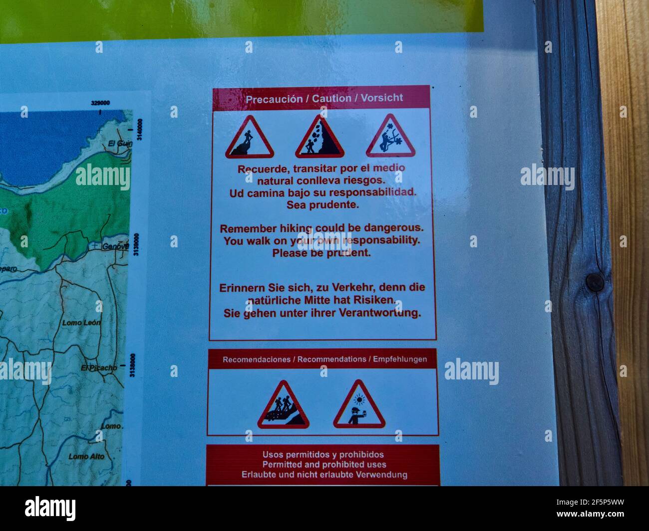 Warning sign on a hiking trail on Tenerife, Canary islands, displaying dangers Stock Photohttps://www.alamy.com/image-license-details/?v=1https://www.alamy.com/warning-sign-on-a-hiking-trail-on-tenerife-canary-islands-displaying-dangers-image416609701.html
RF2F5P5WW–Warning sign on a hiking trail on Tenerife, Canary islands, displaying dangers
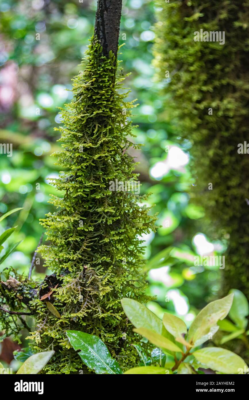 Close up selective focus. Dry trunk of the Canary Laurel covered with thick wet moss. National Park Anaga, Tenerife, Spain. Stock Photohttps://www.alamy.com/image-license-details/?v=1https://www.alamy.com/close-up-selective-focus-dry-trunk-of-the-canary-laurel-covered-with-thick-wet-moss-national-park-anaga-tenerife-spain-image343977426.html
RF2AYHEM2–Close up selective focus. Dry trunk of the Canary Laurel covered with thick wet moss. National Park Anaga, Tenerife, Spain.
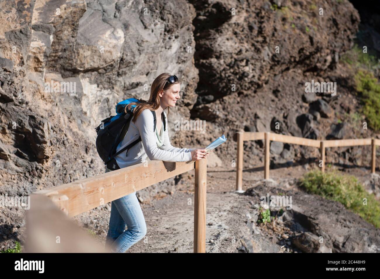 Female hiker, Tenerife, Balearic Islands, Spain Stock Photohttps://www.alamy.com/image-license-details/?v=1https://www.alamy.com/female-hiker-tenerife-balearic-islands-spain-image363970917.html
RF2C448H9–Female hiker, Tenerife, Balearic Islands, Spain
 Tenerife Island in the North Atlantic Ocean, belonging to Spain, cropped to square on a colored elevation map Stock Photohttps://www.alamy.com/image-license-details/?v=1https://www.alamy.com/tenerife-island-in-the-north-atlantic-ocean-belonging-to-spain-cropped-to-square-on-a-colored-elevation-map-image620224319.html
RF2Y11JCF–Tenerife Island in the North Atlantic Ocean, belonging to Spain, cropped to square on a colored elevation map