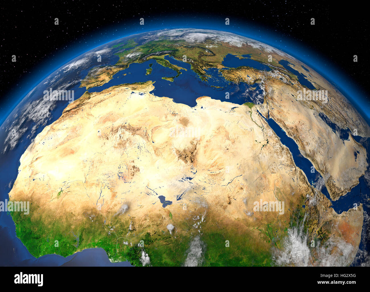
Earth viewed from space showing the Sahara Desert and North Africa. Realistic digital illustration including relief map hill shading of terrain. Pleas
RMID:Image ID:HG2X5G
Image details
Contributor:
PSL Images / Alamy Stock PhotoImage ID:
HG2X5GFile size:
41.7 MB (2.5 MB Compressed download)Releases:
Model - no | Property - noDo I need a release?Dimensions:
4500 x 3240 px | 38.1 x 27.4 cm | 15 x 10.8 inches | 300dpiDate taken:
27 December 2016More information:
Earth viewed from space showing the Sahara Desert and North Africa. Realistic digital illustration including relief map hill shading of terrain. Please credit Nasa.