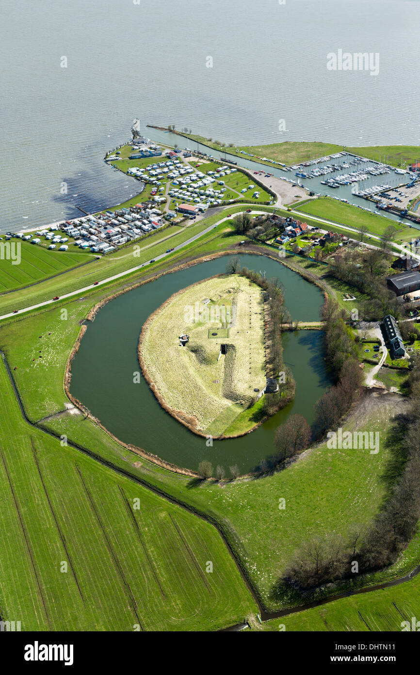
Netherlands, Fort bij Edam, Defence Line of Amsterdam. Hollandse Waterlinies. Dutch Water Defence Lines. Aerial. Marina. Markermeer.

Image details
Contributor:
frans lemmens / Alamy Stock PhotoImage ID:
DHTN11File size:
63.3 MB (4.8 MB Compressed download)Releases:
Model - no | Property - noDo I need a release?Dimensions:
3840 x 5760 px | 32.5 x 48.8 cm | 12.8 x 19.2 inches | 300dpiDate taken:
20 April 2013Location:
The Amsterdam Defence Line, Lake called MarkermeerMore information:
The Defence Line of Amsterdam is a circular series of fortifications around Amsterdam. The line is 135 km long and consists of 42 forts and 4 batteries. The defence line was built between 1880 and 1914 at a distance of between 15 and 20 kilometres from Amsterdam. This kept the capital out of range of any enemy canons. The area outside the line could be flooded in times of emergency, thanks to a sophisticated system of locks. The line served as the 'National Reduit', the final refuge for government and army. It is a unique monument of defensive and hydraulic engineering technology, but was never put into full use. The Defence Line of Amsterdam was added to the UNESCO World Heritage list in 1996.