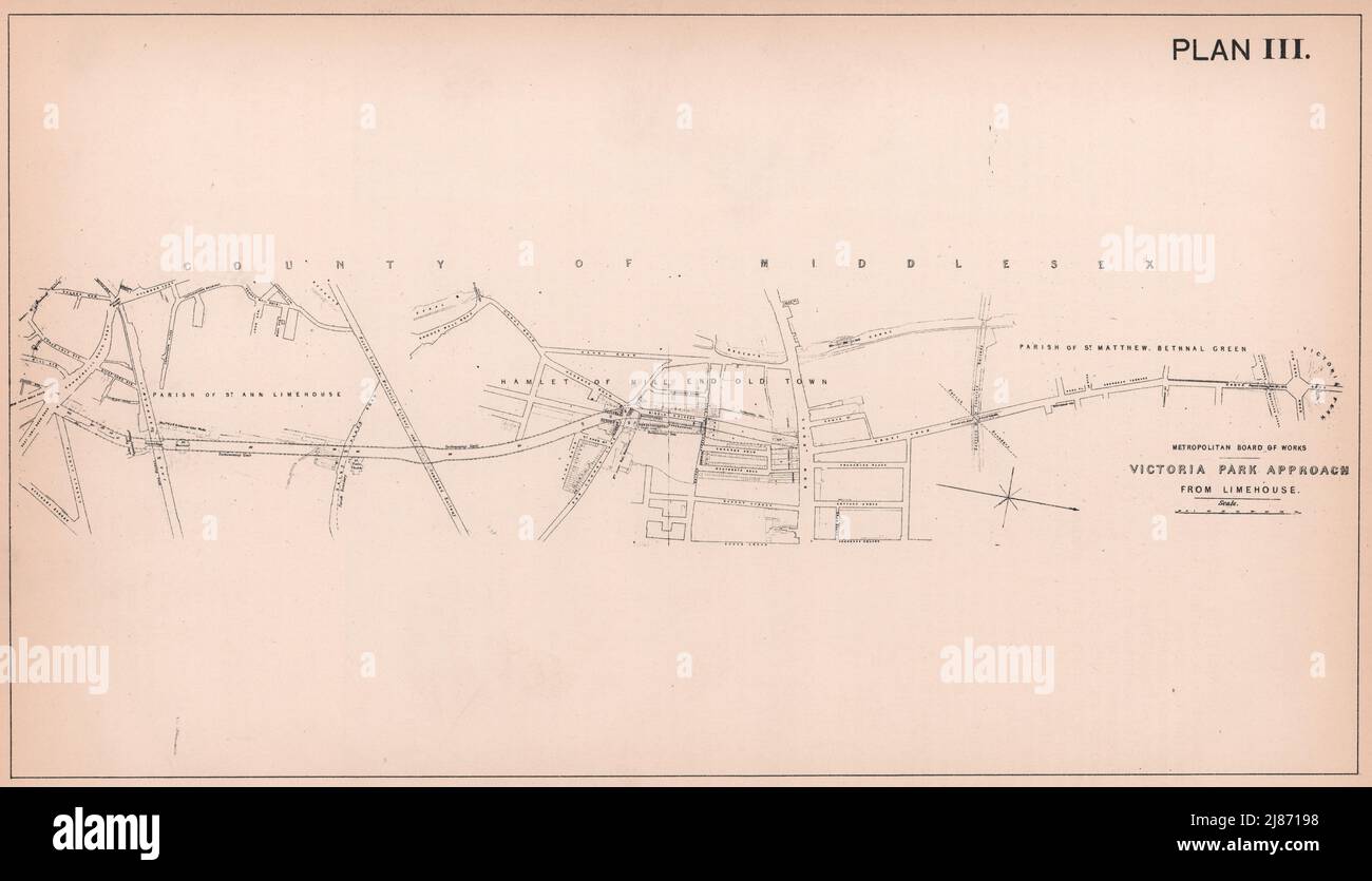
1862 Victoria Park approach from Limehouse. Burdett Road development 1898 map
RFID:Image ID:2J87198
Image details
Contributor:
Antiqua Print Gallery / Alamy Stock PhotoImage ID:
2J87198File size:
82.1 MB (2.3 MB Compressed download)Releases:
Model - no | Property - noDo I need a release?Dimensions:
7072 x 4057 px | 59.9 x 34.3 cm | 23.6 x 13.5 inches | 300dpiDate taken:
1898Location:
LondonMore information:
This image could have imperfections as it’s either historical or reportage.
Metropolitan Board of Works - Victoria park approach - from Limehouse [Victoria park approach (Burdett Road)]. Artist/engraver/cartographer: Percy Edwards. Provenance: "History of London Street Improvements"; By Percy J. Edwards, Published by P.S. King & Son, London. Type: Antique map. Limehouse, Mile End Old Town, Bethnal Green