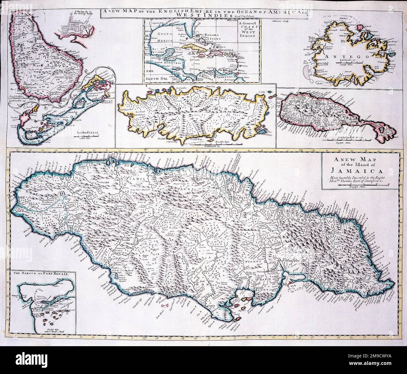
18th century Map of the West Indies and Caribbean - A New Map of the English Empire in the Ocean of America or West Indies (Jamaica,Port Royal, Bermuda, Barbados, Bridgetown, Tobago, Antigua, St. Christophers, and Generall Chart of the West Indies)
RMID:Image ID:2M9CWYA
Image details
Contributor:
Chronicle / Alamy Stock PhotoImage ID:
2M9CWYAFile size:
8.8 MB (1.1 MB Compressed download)Releases:
Model - no | Property - noDo I need a release?Dimensions:
1905 x 1622 px | 32.3 x 27.5 cm | 12.7 x 10.8 inches | 150dpiDate taken:
19 July 2013Photographer:
ChronicleMore information:
This image could have imperfections as it’s either historical or reportage.