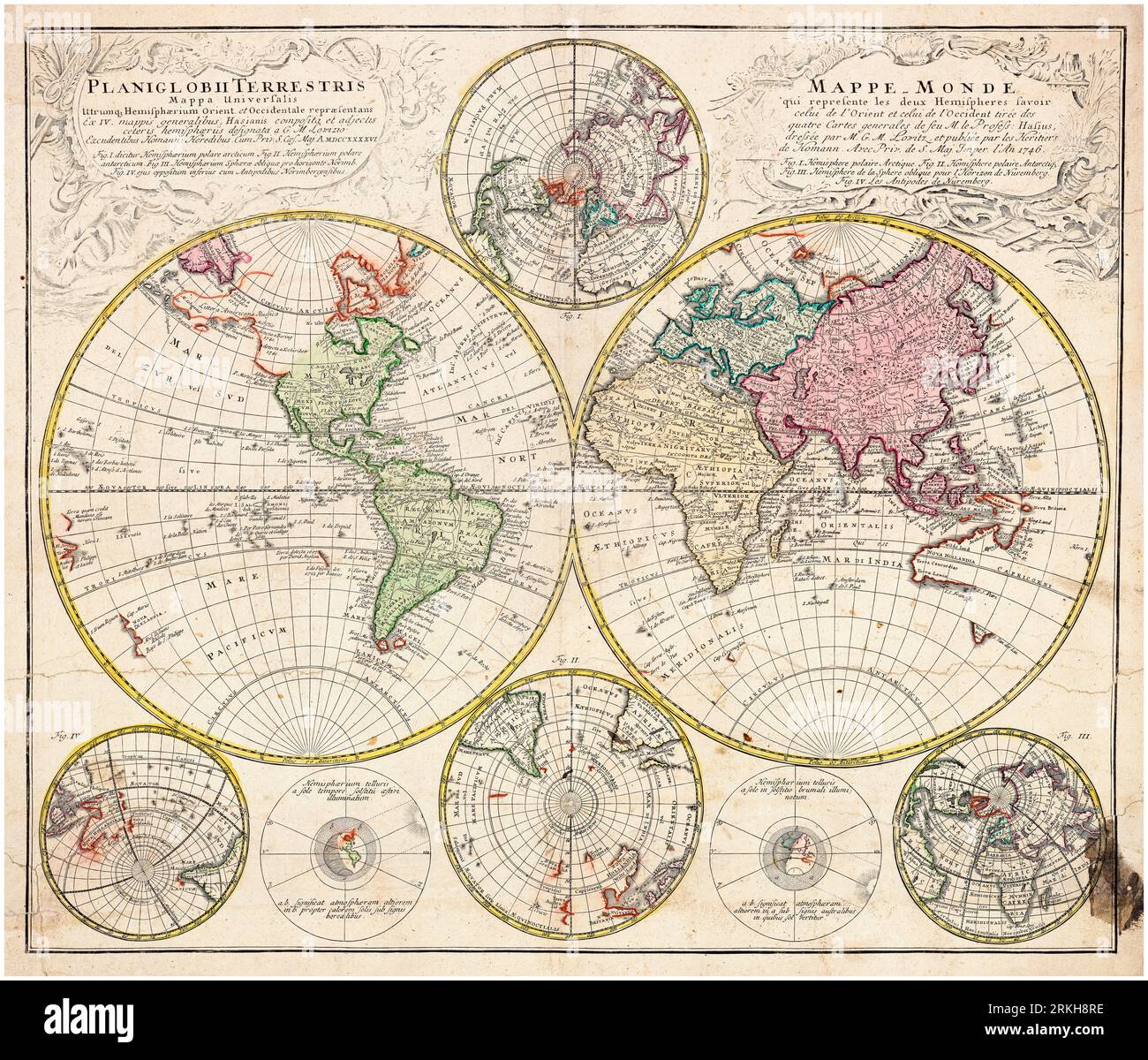
18th Century Vintage World Map by GM Lowitz (George Moritz), 1760-1770

RMID:Image ID:2RKH8RE
Image details
Contributor:
incamerastock / Alamy Stock PhotoImage ID:
2RKH8REFile size:
198.3 MB (19.5 MB Compressed download)Releases:
Model - no | Property - noDo I need a release?Dimensions:
9009 x 7695 px | 76.3 x 65.2 cm | 30 x 25.7 inches | 300dpiDate taken:
25 August 2023Photographer:
ICPMore information:
This image could have imperfections as it’s either historical or reportage.
Title reads: “World map which represents the two hemispheres namely that of the East and that of the West, taken from the four general maps of the late Prof. Hase - compiled by Mr. G.M. Lowitz, and published by the Heirs of Homann” - inscriptions in French and Latin