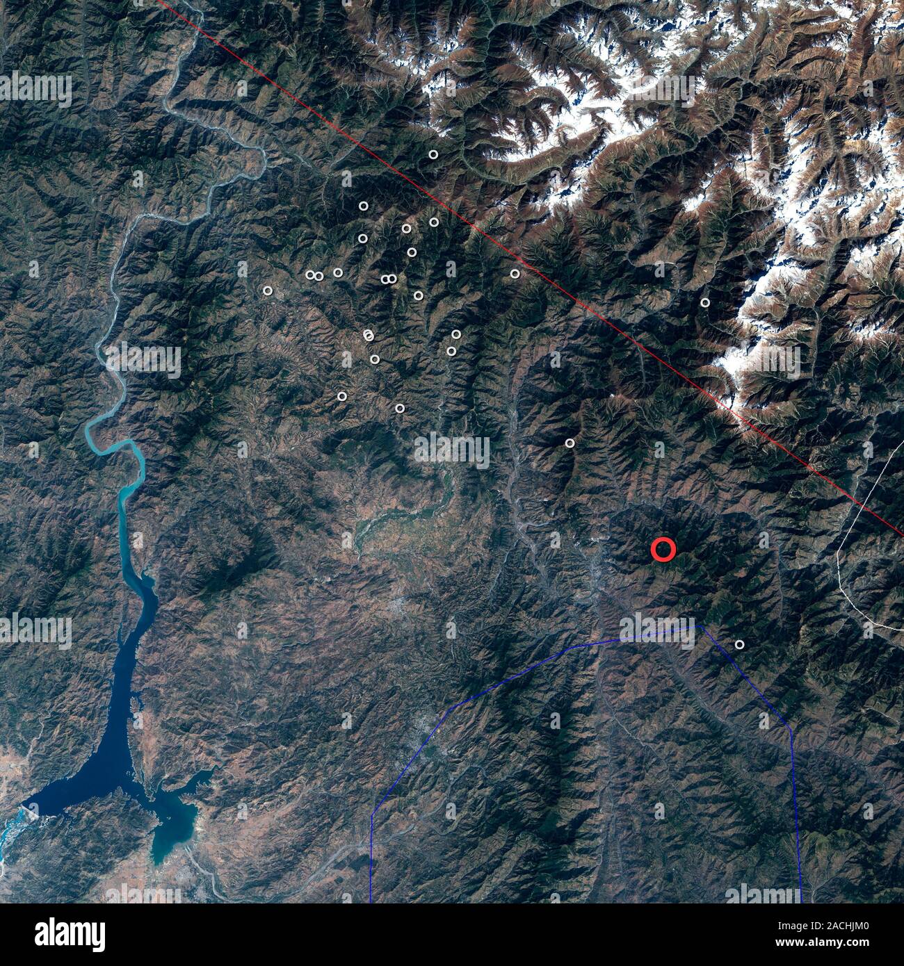
2005 Kashmir earthquake, Landsat 7 satellite image. This earthquake, which struck the Pakistani region of Kashmir, occurred at 3:50am GMT on 8th Octob

RMID:Image ID:2ACHJM0
Image details
Contributor:
Science Photo Library / Alamy Stock PhotoImage ID:
2ACHJM0File size:
45.8 MB (3.3 MB Compressed download)Releases:
Model - no | Property - noDo I need a release?Dimensions:
4000 x 4000 px | 33.9 x 33.9 cm | 13.3 x 13.3 inches | 300dpiDate taken:
16 August 2010Photographer:
NASA/SCIENCE PHOTO LIBRARYMore information:
2005 Kashmir earthquake, Landsat 7 satellite image. This earthquake, which struck the Pakistani region of Kashmir, occurred at 3:50am GMT on 8th October 2005. It had a magnitude of 7.6, and led to the deaths of nearly 100, 000 people. The epicentre is marked by the red circle. Aftershocks are marked by white circles. The region lies where the Indian tectonic plate collides with the Eurasian tectonic plate. This collision, which began some 50 million years ago, formed the Himalaya mountain range.