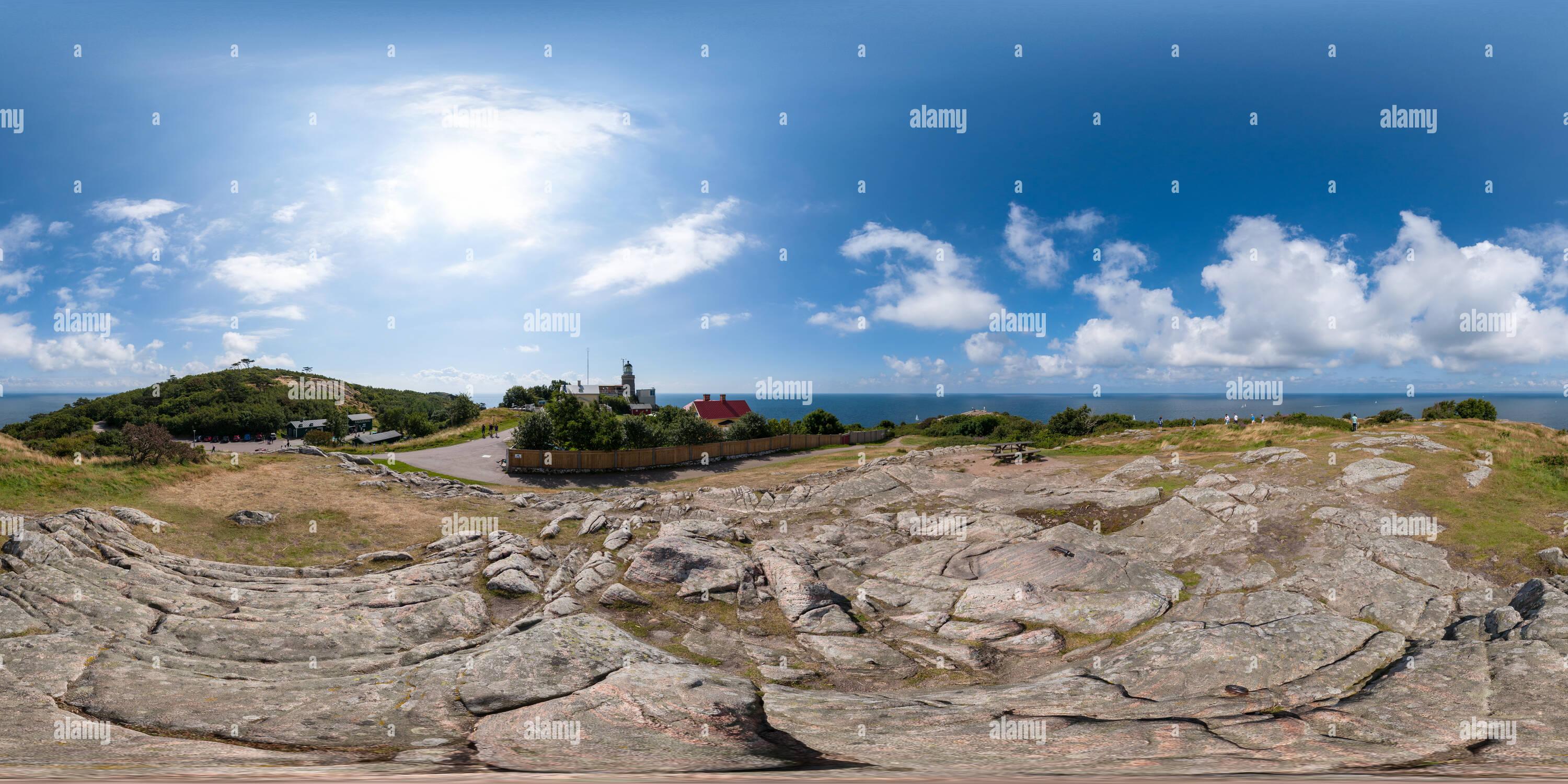
Kullaberg
Image details
Contributor:
360Cities.net / Alamy Stock PhotoImage ID:
PN2FX6File size:
206 MB (65.9 MB Compressed download)Releases:
Model - no | Property - noDo I need a release?Dimensions:
12000 x 6000 px | 101.6 x 50.8 cm | 40 x 20 inches | 300dpiPhotographer:
Arno DietzMore information:
Kullaberg is a nature reserve situated on a peninsula of land protruding into the Kattegat in Höganäs Municipality near the town of Mölle in southwest Sweden. The site in the province of Skåne is an area of considerable biodiversity supporting a number of rare species and has been designated as an Important Bird Area (IBA) in Sweden as well as a Special Protection Area (SPA). The terrain is dominated by steep cliffs rising from the sea and rocky outcrops on the ridge above, the highest elevation[1] being Mount Håkull at 188 meters. Ridgetop vegetation includes a mixed hardwood broadleaf forest consisting of birch, beech, oak and pine trees with an understory of hawthorn, juniper, wild honeysuckle and blackthorn. Among the notable rare plants are Spring vetchling, Lathyrus sphaericus.[2] Inhabited as early as the Stone Age, there are extant stone circles, grave mounds, ancient village remains and other archeological features. Kullaberg is administered by the Höganäs Forestry Board and the Gyllenstierna Krapperup Foundation. Kullen lighthouse, designed by architect Magnus Dahlander in 1898, is considered the brightest in Sweden, situated at the westernmost point of the reserve, guiding ships through this busy part of the Kattegat. Within this 75 square kilometre (18, 500 acre) reserve are extensive hiking paths that criss cross the ridge and provide access to dozens of beach coves nestled at the bottom of the cliff formations.Source: http://en.wikipedia.org/wiki/Kullaberg
