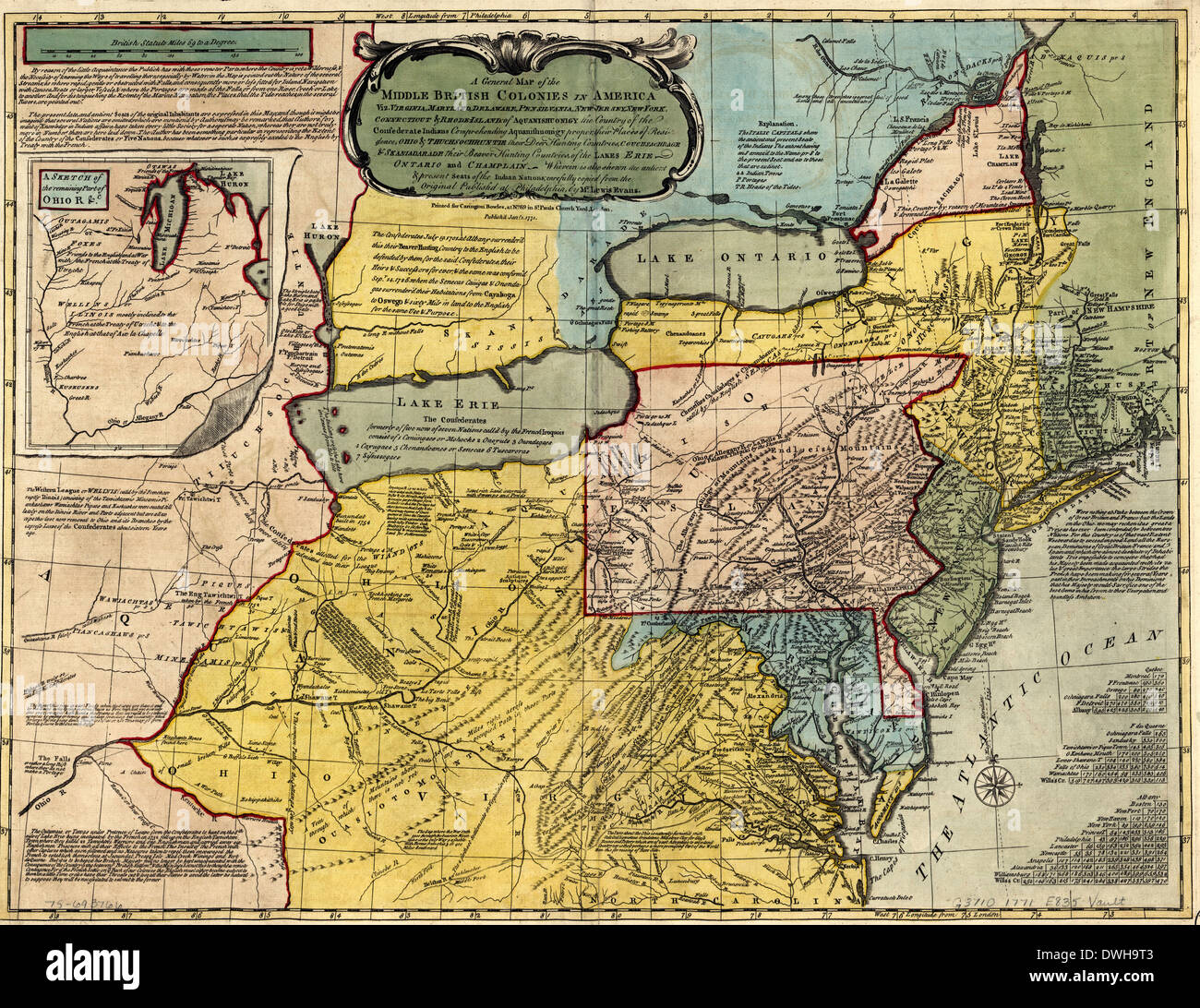
A general map of the middle British colonies in America, 1771

RMID:Image ID:DWH9T3
Image details
Contributor:
Niday Picture Library / Alamy Stock PhotoImage ID:
DWH9T3File size:
102 MB (8.1 MB Compressed download)Releases:
Model - no | Property - noDo I need a release?Dimensions:
6800 x 5243 px | 57.6 x 44.4 cm | 22.7 x 17.5 inches | 300dpiMore information:
This image could have imperfections as it’s either historical or reportage.
A general map of the middle British colonies in America, viz. Virginia, Maryland, Delaware, Pensilvania, New-Jersey, New York, Connecticut & Rhode-Island: of Aquanishuonigy the country of the confederate Indians comprehending Aquanishuonigy proper, their places of residence, Ohio & Thuchsochruntie their deer hunting countries, Couchsachrage & Skaniadarade their beaver hunting countries, of the Lakes Erie, Ontario and Champlain. Wherein is also shewn the antient & present seats of the Indian nations. Carefully copied from the original published at Philadelphia, by Mr. Lewis Evans. 1771