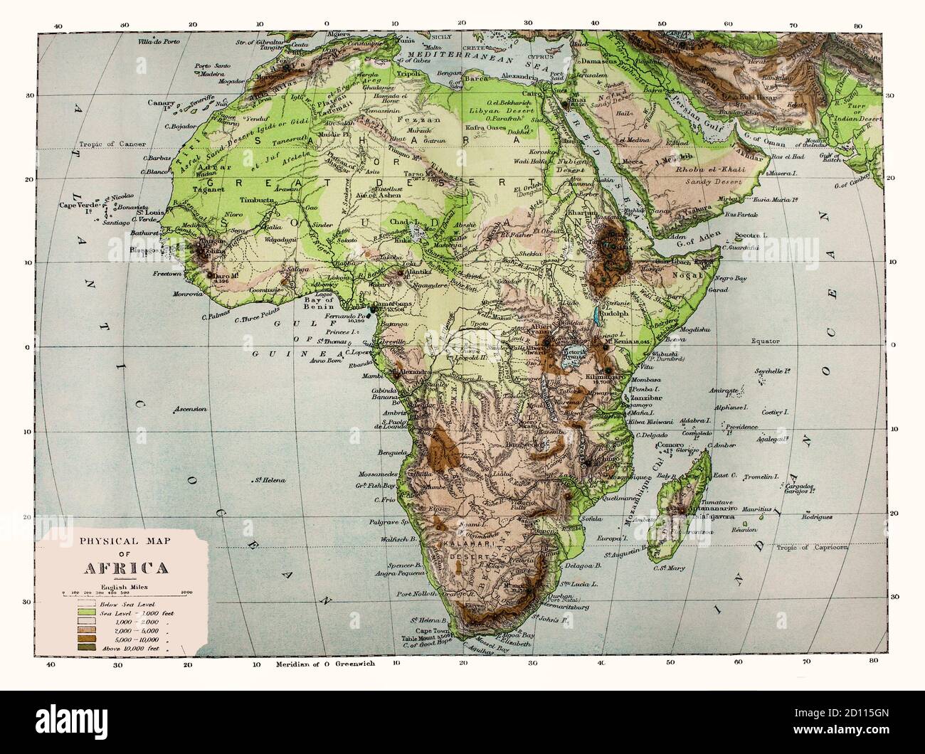
A late 19th Century physical map of Africa, note the names of some locations are no longer in use. Geologically, Africa includes the Arabian Peninsula; the Zagros Mountains of Iran and the Anatolian Plateau of Turkey mark where the African Plate collided with Eurasia. The Afrotropical realm and the Saharo-Arabian desert to its north unite the region biogeographically, and the Afro-Asiatic language family unites the north linguistically.

RMID:Image ID:2D115GN
Image details
Contributor:
De Luan / Alamy Stock PhotoImage ID:
2D115GNFile size:
44.7 MB (3.5 MB Compressed download)Releases:
Model - no | Property - noDo I need a release?Dimensions:
4575 x 3417 px | 38.7 x 28.9 cm | 15.3 x 11.4 inches | 300dpiDate taken:
1880Location:
AfricaMore information:
This image is a public domain image, which means either that copyright has expired in the image or the copyright holder has waived their copyright. Alamy charges you a fee for access to the high resolution copy of the image.
This image could have imperfections as it’s either historical or reportage.