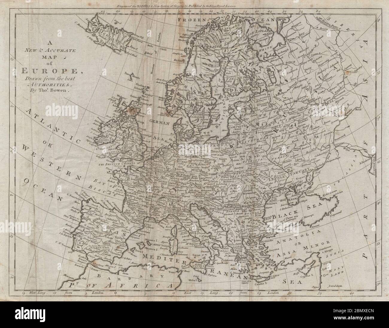
A new & accurate map of Europe drawn from the best authorities. BOWEN 1789
RFID:Image ID:2BMXECN
Image details
Contributor:
Antiqua Print Gallery / Alamy Stock PhotoImage ID:
2BMXECNFile size:
59.8 MB (3.6 MB Compressed download)Releases:
Model - no | Property - noDo I need a release?Dimensions:
5192 x 4025 px | 44 x 34.1 cm | 17.3 x 13.4 inches | 300dpiDate taken:
1789Location:
EuropeMore information:
This image could have imperfections as it’s either historical or reportage.
A new & accurate map of Europe, drawn from the best authorities, By Thos. Bowen. Artist/engraver/cartographer: Bowen, Thomas. Provenance: "A New Royal, Authentic and Complete System of Universal Geography", by Thomas Bankes, Edward Warren Blake, Alexander Cook & Thomas Bowen, printed for C. Cooke, No. 17, Pater-Noster Row (1789). Type: Antique copperplate map.