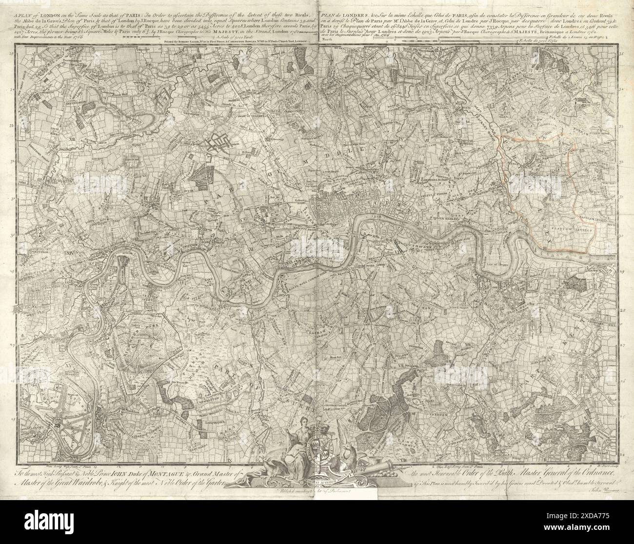
"A Plan of London on the same scale as that of Paris.." by John Rocque 1769 map

RFID:Image ID:2XDA775
Image details
Contributor:
Antiqua Print Gallery / Alamy Stock PhotoImage ID:
2XDA775File size:
135.1 MB (13.9 MB Compressed download)Releases:
Model - no | Property - noDo I need a release?Dimensions:
7738 x 6104 px | 65.5 x 51.7 cm | 25.8 x 20.3 inches | 300dpiDate taken:
1769Location:
LondonMore information:
This image could have imperfections as it’s either historical or reportage.
A Plan of London on the same scale as that of Paris. Artist/engraver/cartographer: John Rocque, engraved by Richard Parr. Provenance: Printed for Robert Sayer, No 53. Fleet Street & Carington Bowles, No. 69 in St. Paul's Church Yard, London. Type: Antique 18th century folio map with some faint outline colour upper right.