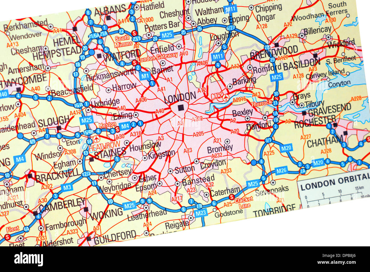
A traditional paper map (maps) of England showing the M25 orbital route & London areas

RMID:Image ID:DPB8J6
Image details
Contributor:
Libby Welch / Alamy Stock PhotoImage ID:
DPB8J6File size:
40.1 MB (2.7 MB Compressed download)Releases:
Model - no | Property - noDo I need a release?Dimensions:
4592 x 3055 px | 38.9 x 25.9 cm | 15.3 x 10.2 inches | 300dpiDate taken:
27 December 2013Location:
UK