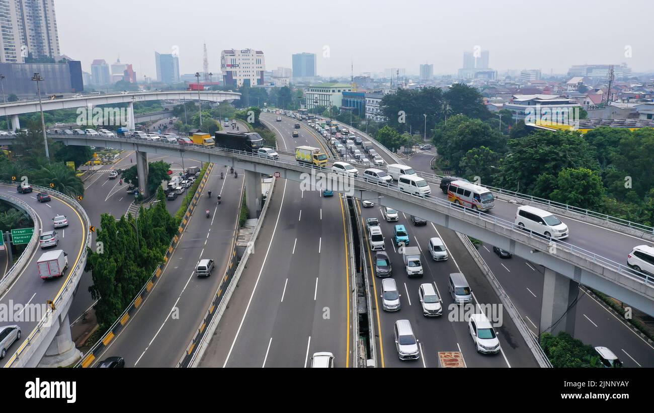
Aerial drone bird's eye view photo of latest technology cross shape multi level road highway passing through city center
RFID:Image ID:2JNNYAY
Image details
Contributor:
Karel Bittner / Alamy Stock PhotoImage ID:
2JNNYAYFile size:
48.2 MB (2.6 MB Compressed download)Releases:
Model - no | Property - noDo I need a release?Dimensions:
5472 x 3078 px | 46.3 x 26.1 cm | 18.2 x 10.3 inches | 300dpiDate taken:
19 May 2022Location:
IndonesiaMore information:
Aerial drone bird's eye view photo of latest technology cross shape multi level road highway passing through city center.