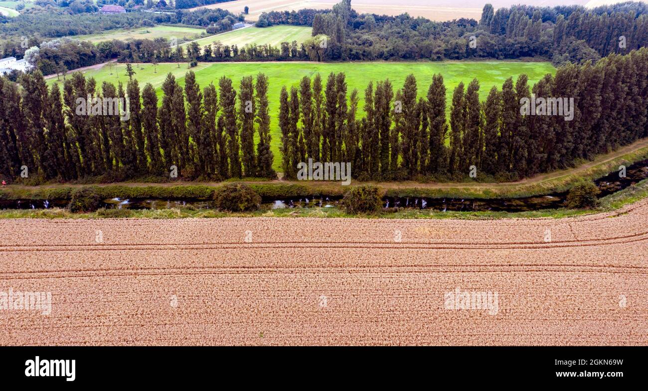
Aerial view along a section of the Little Stour, near Plucks Gutter, Kent
Image details
Contributor:
John Gaffen / Alamy Stock PhotoImage ID:
2GKN69WFile size:
43.9 MB (3.5 MB Compressed download)Releases:
Model - no | Property - noDo I need a release?Dimensions:
5354 x 2863 px | 45.3 x 24.2 cm | 17.8 x 9.5 inches | 300dpiDate taken:
21 August 2021Location:
The Little Stour, near Plucks Gutter, KentMore information:
The River Stour is a river in Kent, England that flows into the North Sea at Pegwell Bay. Above Plucks Gutter, where the Little Stour joins it, the river is normally known as the Great Stour. The upper section of the river, above its confluence with the East Stour at Ashford is sometimes known as the Upper Great Stour or West Stour. In the tidal lower reaches, the artificial Stonar Cut short cuts a large loop in the natural river. The Stour has Kent's second largest catchment area (the River Medway having the largest). The lower part of the river is tidal; its original mouth was on the Wantsum Channel, an important sea route in medieval times. The river has three major tributaries, and many minor ones. For much of its length it flows in a generally south-west to north-east direction. The historic city of Canterbury is situated on the river, as are the former Cinque Port of Sandwich and the railway town of Ashford. The route of the Stour Valley Walk follows the river.