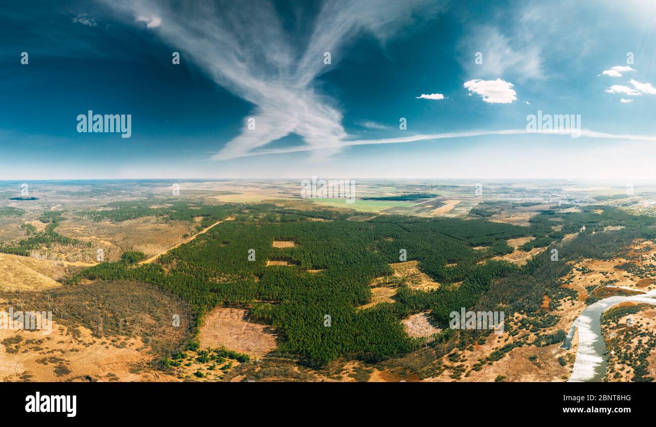
Aerial View Of Deforestation Area Landscape. Green Pine Forest In Deforestation Zone. Top View Of Forest Landscape. Drone View. Bird's Eye View. Panor
RFID:Image ID:2BNT8HG
Image details
Contributor:
Ryhor Bruyeu / Alamy Stock PhotoImage ID:
2BNT8HGFile size:
171.6 MB (9.2 MB Compressed download)Releases:
Model - no | Property - noDo I need a release?Dimensions:
10152 x 5909 px | 86 x 50 cm | 33.8 x 19.7 inches | 300dpiDate taken:
23 April 2020More information:
Aerial View Of Deforestation Area Landscape. Green Pine Forest In Deforestation Zone. Top View Of Forest Landscape. Drone View. Bird's Eye View. Panorama, Panoramic View.