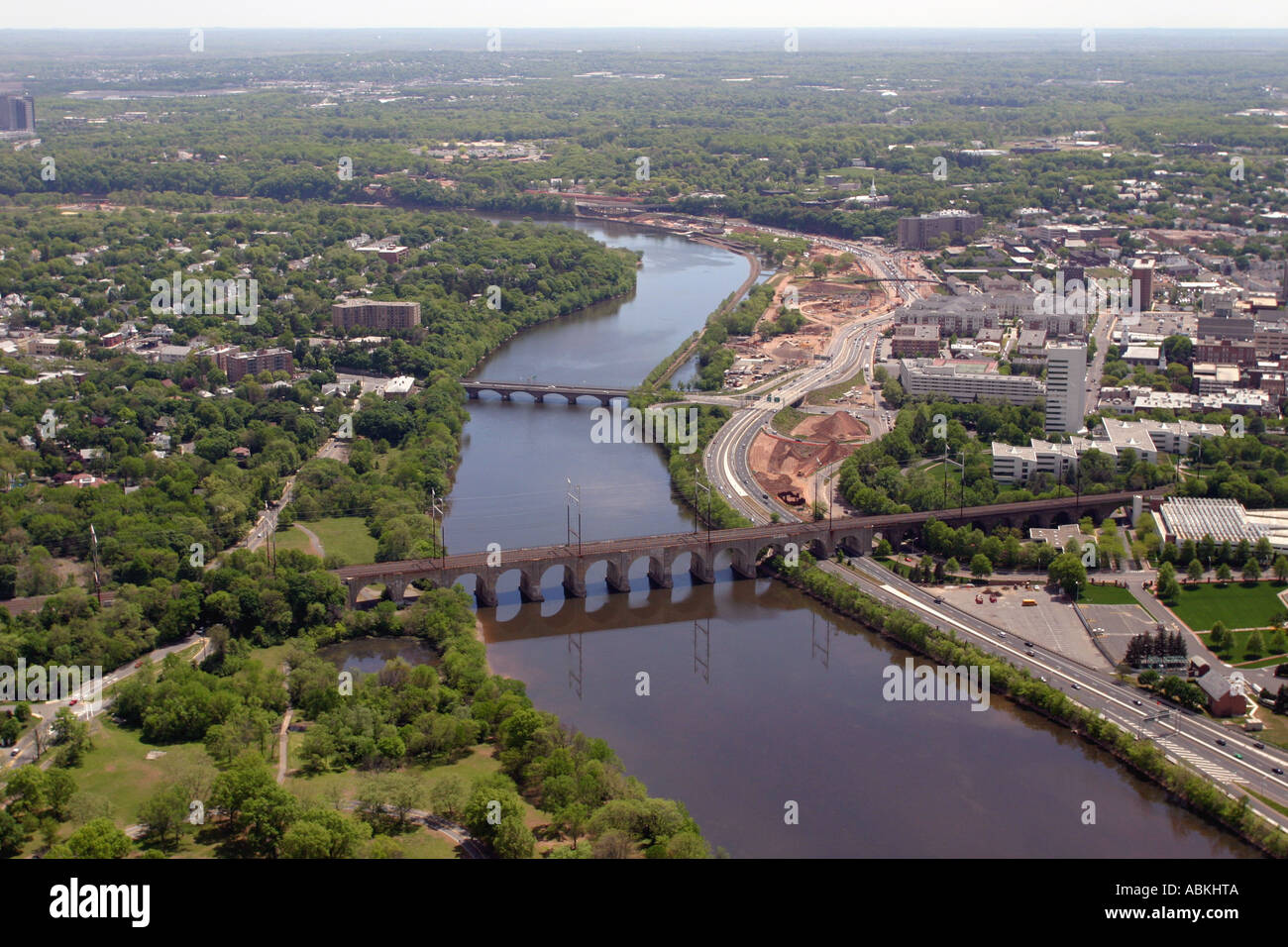
Aerial view of Raritan River near City of New Brunswick, New Jersey, U.S.A.

Image details
Contributor:
Robert Quinlan / Alamy Stock PhotoImage ID:
ABKHTAFile size:
50 MB (2.3 MB Compressed download)Releases:
Model - no | Property - noDo I need a release?Dimensions:
5120 x 3413 px | 43.3 x 28.9 cm | 17.1 x 11.4 inches | 300dpiLocation:
New Brunswick, New JerseyMore information:
The Raritan River forms at the confluence of the North and South Branches just west of Somerville. It flows for approximately 16 miles before slowing in tidewater at New Brunswick, and its estuary extends 14 more miles entering the western end of Raritan Bay at Perth Amboy. The river has served an important water transportation route since the days of the Lenape Native Americans. The name itself comes from an Algonquian word meaning "stream overflows." In colonial days, the river allowed the development of early industry around New Brunswick, as well as the transportation of agricultural materials from central New Jersey. During the American Revolutionary War, the river provided a means for troop conveyance. The construction of the Delaware and Raritan Canal provided a critical link between New York City and Philadelphia, Pennsylvania on the Delaware River. The river is also used for recreational boating, including use by the rowing team of Rutgers University in New Brunswick. Near its mouth, the river is spanned by the Victory Bridge which carries Route 35 (connecting Perth Amboy and Sayreville), the Driscoll Bridge, which carries the Garden State Parkway (connecting Woodbridge Township and Sayreville), the Edison Bridge, which carries U.S. Route 9 (Connecting Woodbridge Township and Sayreville) and a New Jersey Transit railroad bridge.