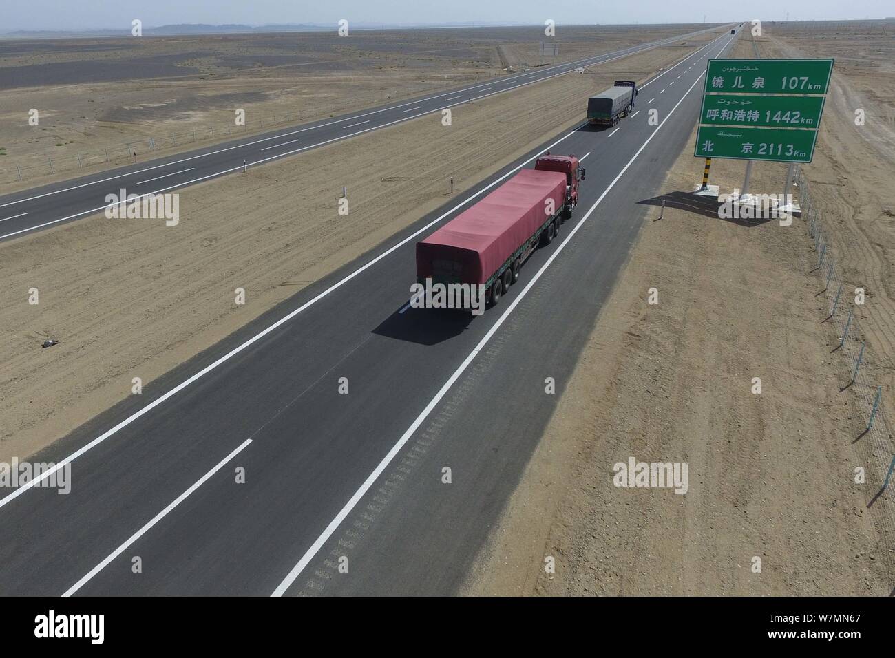
Aerial view of the Beijing-Urumqi Expressway, commonly known as the Jingxin Expressway, through the Gobi desert in Jiuquan city, northwest China's Gan
Image details
Contributor:
Imaginechina Limited / Alamy Stock PhotoImage ID:
W7MN67File size:
23.9 MB (786.8 KB Compressed download)Releases:
Model - no | Property - noDo I need a release?Dimensions:
3543 x 2362 px | 30 x 20 cm | 11.8 x 7.9 inches | 300dpiDate taken:
15 July 2017Photographer:
ImaginechinaMore information:
Aerial view of the Beijing-Urumqi Expressway, commonly known as the Jingxin Expressway, through the Gobi desert in Jiuquan city, northwest China's Gansu province, 15 July 2017. Three new sections of freeway, mostly in desert areas, were put into use on Saturday (15 July 2017), marking the completion of a freeway between Beijing and northwest China's Xinjiang Uygur Autonomous Region. The three sections in Inner Mongolia Autonomous Region, Gansu Province and Xinjiang have a combined length of more than 1, 200 km, bringing the total length of the Beijing-Xinjiang freeway to about 2, 768 km. "The Beijing-Xinjiang freeway is the most convenient road passage connecting Beijing with northwest Inner Mongolia, northern Gansu, and Xinjiang, " said Ren Jinxiong, an official with the Ministry of Transport. With a length of 930 km, the Inner Mongolia section is the longest freeway project in China. The Gansu section is 134 km long and the Xinjiang section is 178 km long. The three sections are mostly located in deserts with poor natural conditions and little water, posing a challenge to the road builders. The Beijing-Xinjiang freeway is one of seven freeways connecting the national capital with other major cities, according to a national freeway plan.