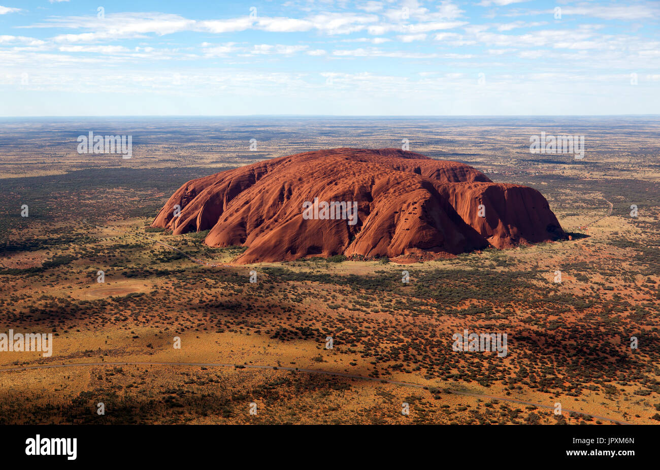
Aerial view of Uluru (Ayers Rock), Uluṟu–Kata Tjuṯa National Park, Northern Territory, Australia

Image details
Contributor:
John Gaffen / Alamy Stock PhotoImage ID:
JPXM6NFile size:
55.2 MB (3.6 MB Compressed download)Releases:
Model - no | Property - noDo I need a release?Dimensions:
5475 x 3524 px | 46.4 x 29.8 cm | 18.3 x 11.7 inches | 300dpiDate taken:
24 June 2017Location:
Uluru-Kata Tjuta National Park, Petermann, Northern Territory, AustraliaMore information:
Uluru also known as Ayers Rock / and officially gazetted as "Uluru / Ayers Rock", is a large sandstone rock formation in the southern part of the Northern Territory in central Australia. It lies 335 km (208 mi) south west of the nearest large town, Alice Springs, 450 km (280 mi) by road. Uluru is sacred to the Pitjantjatjara Anangu, the Aboriginal people of the area. The area around the formation is home to an abundance of springs, waterholes, rock caves and ancient paintings. Uluru is listed as a UNESCO World Heritage Site. Uluru and Kata Tjuta, also known as the Olgas, are the two major features of the Uluṟu-Kata Tjuṯa National Park. Uluru and Kata Tjuta lie near the southern margin of an area geologists call the Amadeus Basin. This depression in the Earth's crust formed about 900 million years ago, and received layer upon layer of sediment over several hundred million years. This stopped about 300 million years ago. At times the Amadeus Basin was a shallow sea collecting these sediments. Some of it was blocked off from the sea and the water evaporated leaving crusted salt. A cold period left deposits of glacial rock. The older sediments in the Amadeus Basin were crumpled and buckled about 550 million years ago, and mountain ranges were uplifted in an event the geologists call the Petermann Ranges Orogeny. At this time there were no trees or grasses covering the landscape. Bacteria and algae were the only life forms and they helped break down the jagged mountain ranges. These bare mountains eroded easily. Huge amounts of sediment washed away when it rained and formed alluvial fans adjacent to the ranges. It is the remains of at least two of these alluvial fans that are seen today as Uluru and Kata Tjuta. Conglomerate Arkose Folded Proterzoic sedimentary rocks Igneous and metamorphic rocks Palaeozoic rocks Alluvial sediments By about 500 million years ago a shallow sea again covered the region. The alluvial fans of arkose and conglomerate were at least 2.5km