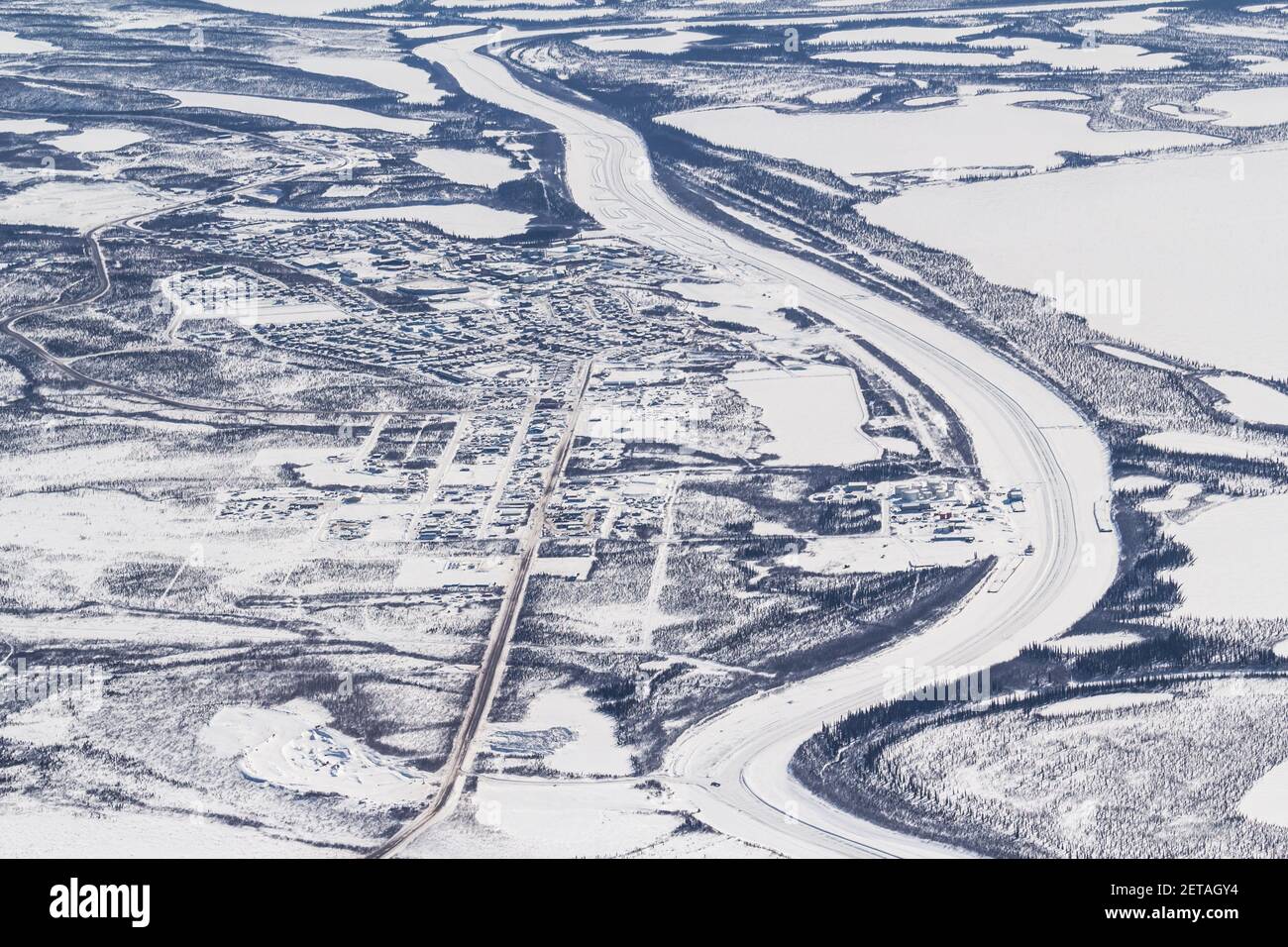
Aerial winter view of the Mackenzie River Ice Road and Inuvik-Tuktoyaktuk Highway, Beaufort Delta region, Northwest Territories, Canada's Arctic.

RFID:Image ID:2ETAGY4
Image details
Contributor:
Tawna Brown / Alamy Stock PhotoImage ID:
2ETAGY4File size:
51.3 MB (3.3 MB Compressed download)Releases:
Model - no | Property - noDo I need a release?Dimensions:
5184 x 3456 px | 43.9 x 29.3 cm | 17.3 x 11.5 inches | 300dpiDate taken:
12 April 2014Location:
Inuvik, Northwest Territories, CanadaMore information:
The ice road along the Mackenzie River connects the Arctic communities of Inuvik, Aklavik and previously Tuktoyaktuk (which is now replaced by the all-weather gravel Inuvik-Tuktoyaktuk Highway in November 2017). The ice road is still built annually to connect Inuvik and Aklavik. Officially opened on November 15, 2017, the CAD$299 million 139 kilometre all-weather gravel Inuvik-Tuktoyaktuk Highway leads to the Arctic Ocean, representing the final link of a highway network connecting Canada from coast to coast to coast by land.