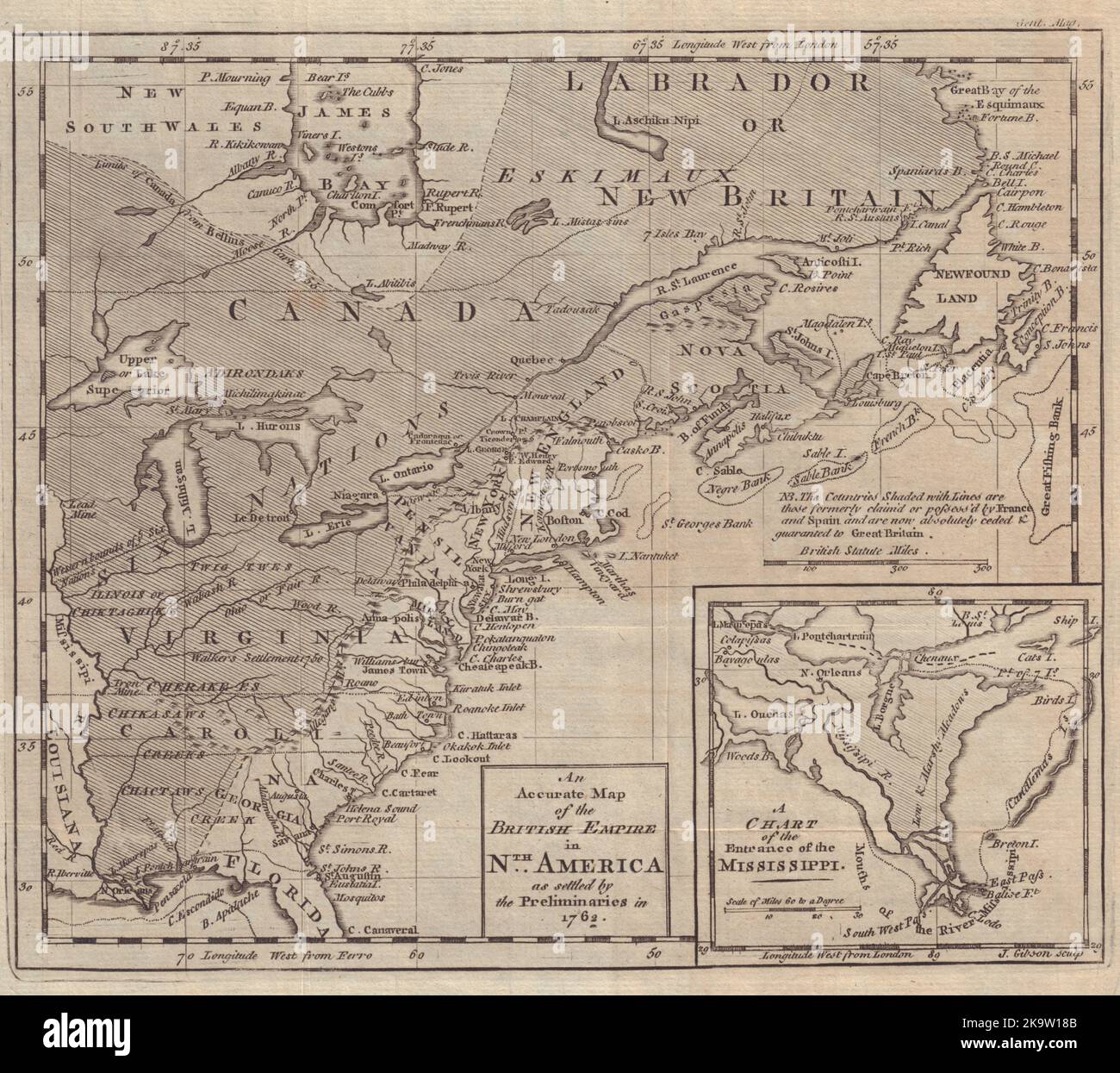
An Accurate Map of the British Empire in Nth America as settled… GIBSON 1762
RFID:Image ID:2K9W18B
Image details
Contributor:
Antiqua Print Gallery / Alamy Stock PhotoImage ID:
2K9W18BFile size:
89.4 MB (5.6 MB Compressed download)Releases:
Model - no | Property - noDo I need a release?Dimensions:
5930 x 5269 px | 50.2 x 44.6 cm | 19.8 x 17.6 inches | 300dpiDate taken:
1762Location:
USA & CanadaMore information:
This image could have imperfections as it’s either historical or reportage.
An Accurate Map of the British Empire in Nth America as settled by the Preliminaries in 1762. A Chart of the Entrance of the Mississippi. Artist/engraver/cartographer: J. Gibson sculp. Provenance: "Gentleman's Magazine and Historical Chronicle", by Sylvanus Urban, Gent. London: Printed by D. Henry at St. John's Gate . Type: Antique copperplate map.