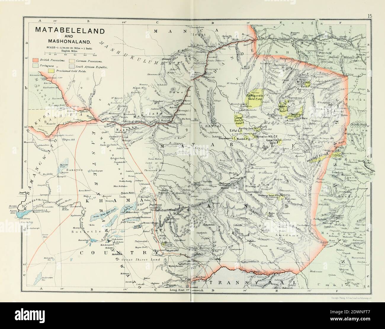
Ancient map of Matabeleland and Mashonaland, South Africa (1895) from the book 'The Castle Line atlas of South Africa' : a series of 16 plates, printed in colour, containing 30 maps and diagrams, with an account of the geographical features , the climate, the mineral and other resources, and the history of South Africa. And an index of over 6,000 names
RFID:Image ID:2DWNFT7
Image details
Contributor:
PhotoStock-Israel / Alamy Stock PhotoImage ID:
2DWNFT7File size:
50.2 MB (2 MB Compressed download)Releases:
Model - no | Property - noDo I need a release?Dimensions:
4730 x 3712 px | 40 x 31.4 cm | 15.8 x 12.4 inches | 300dpiDate taken:
5 January 2012Location:
South AfricaPhotographer:
Historic IllustrationsMore information:
This image is a public domain image, which means either that copyright has expired in the image or the copyright holder has waived their copyright. Alamy charges you a fee for access to the high resolution copy of the image.
This image could have imperfections as it’s either historical or reportage.